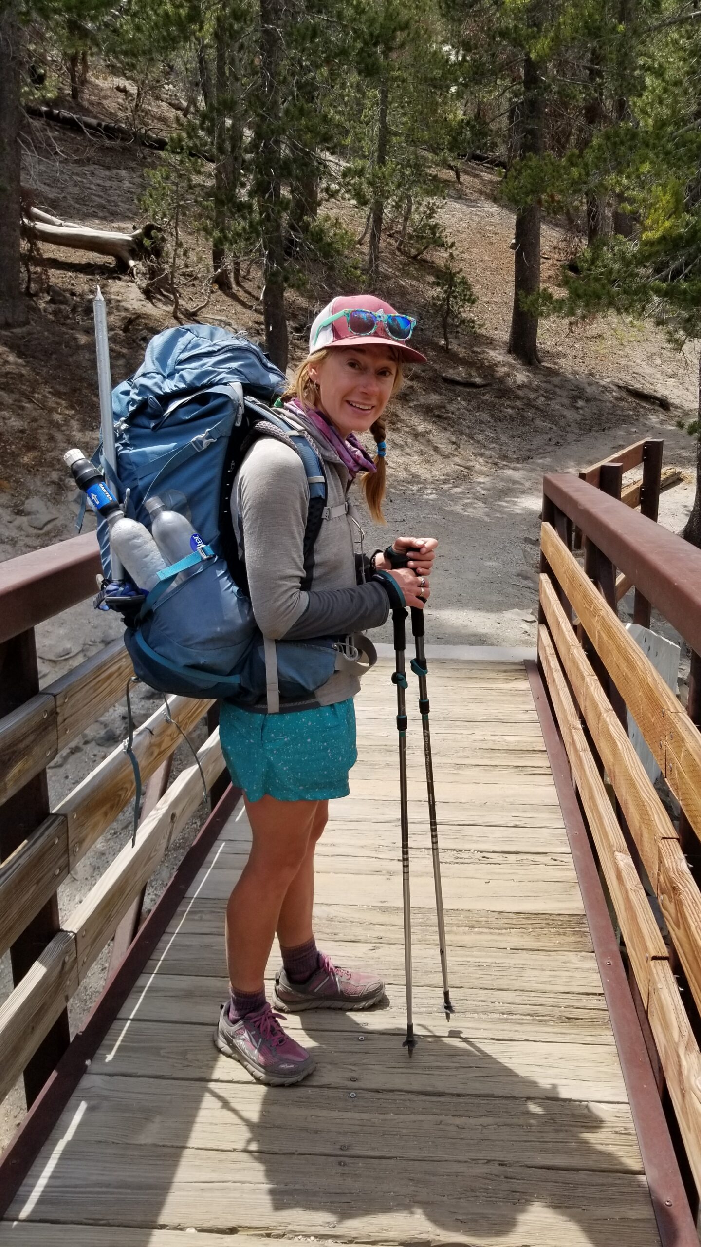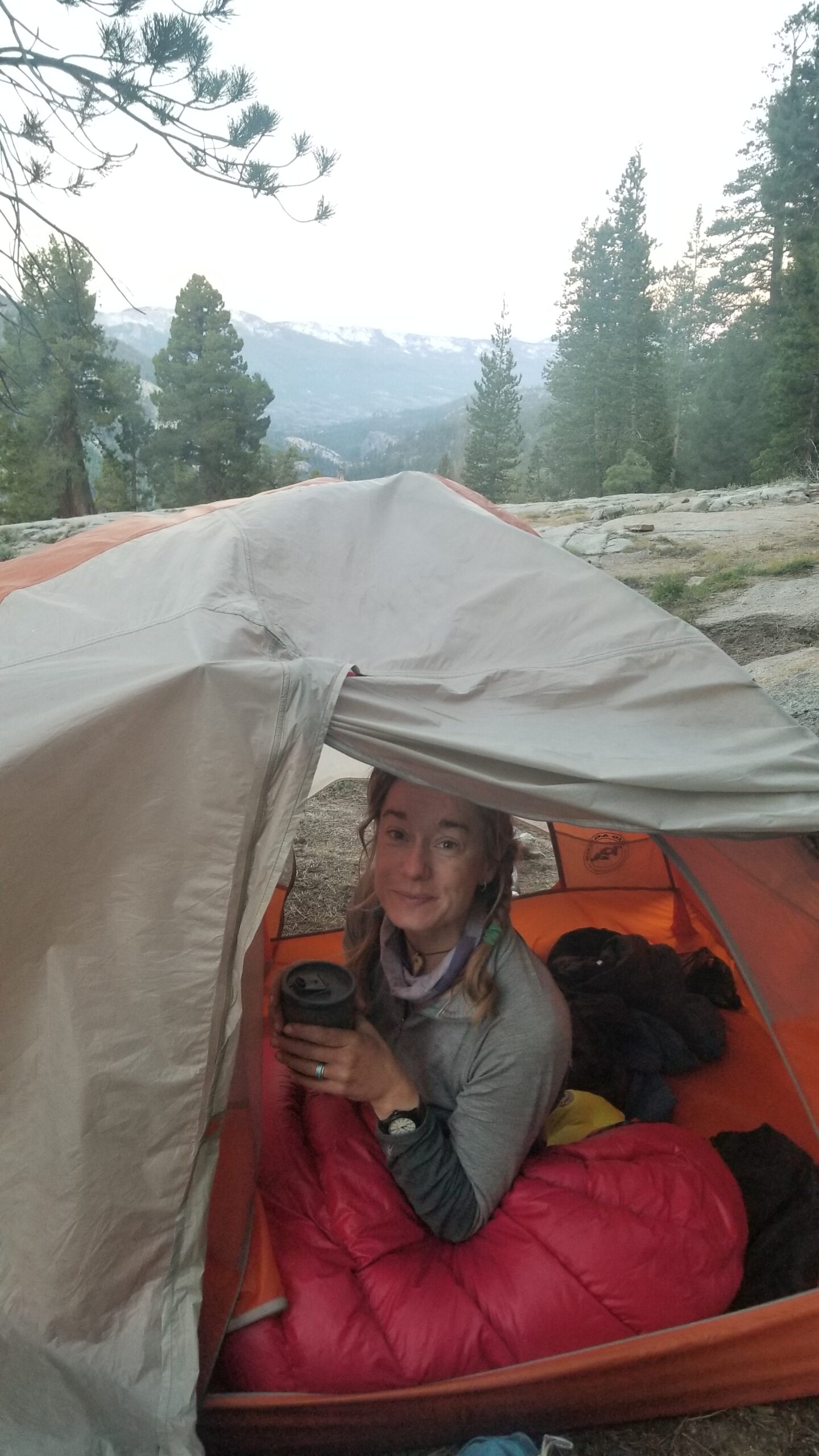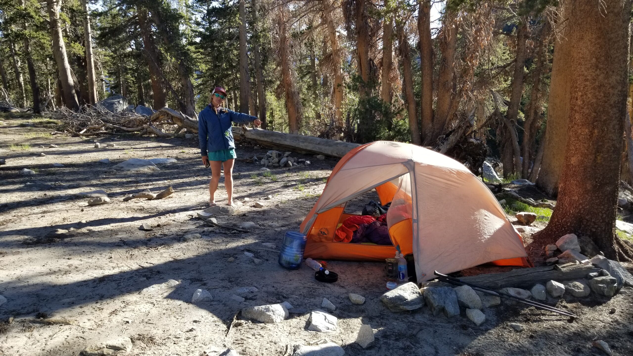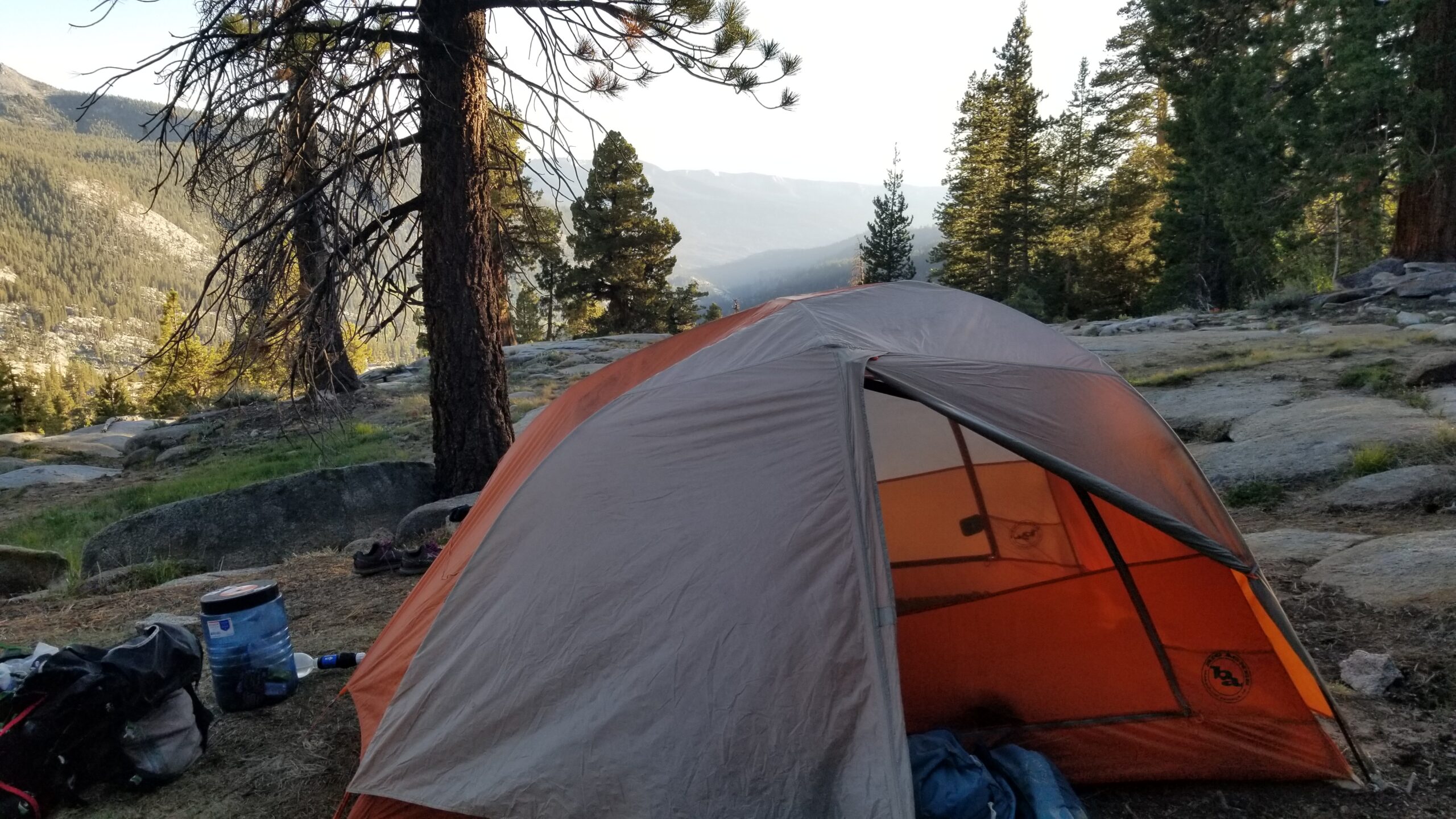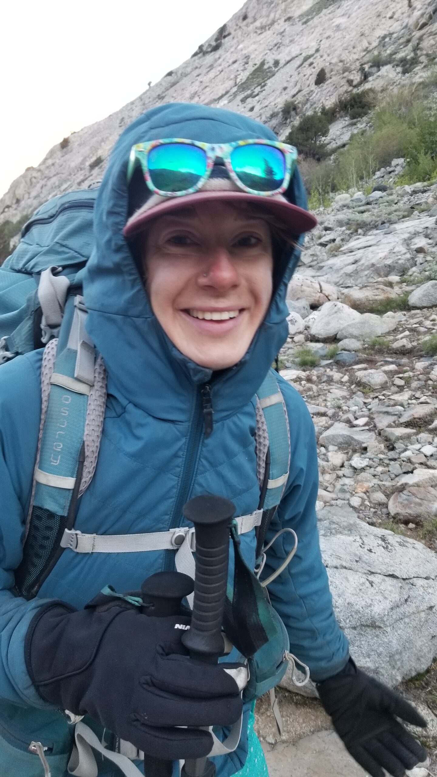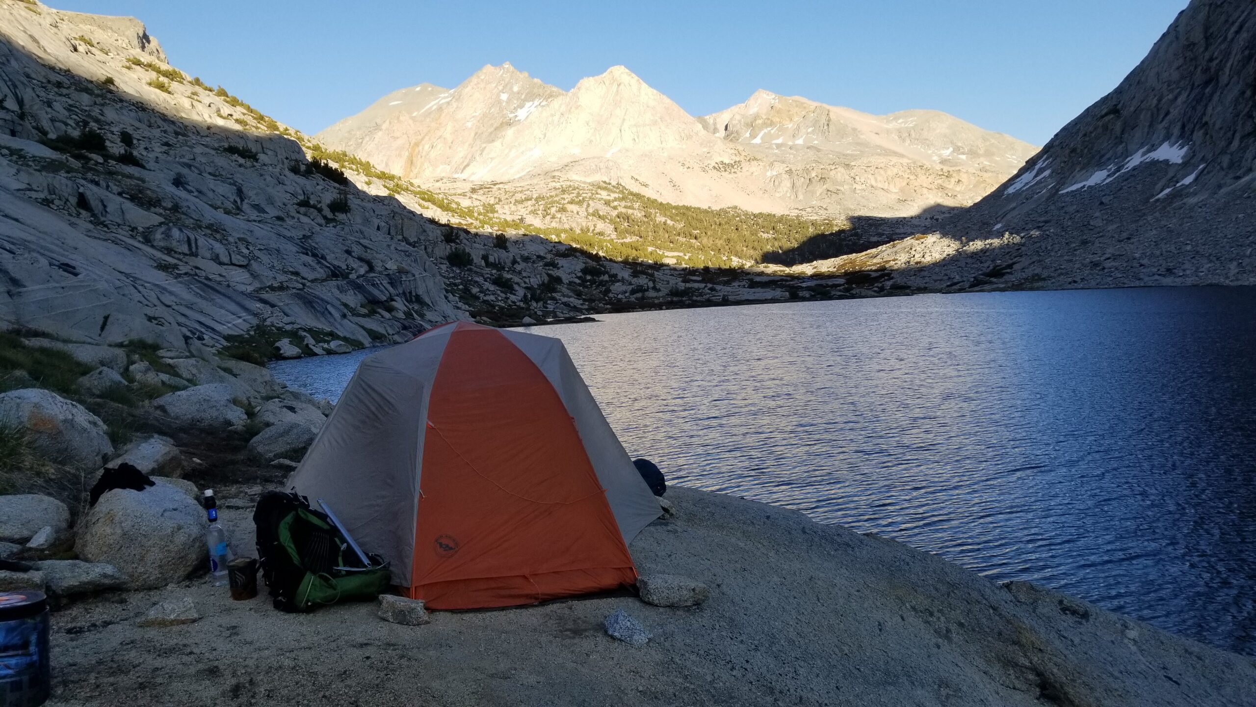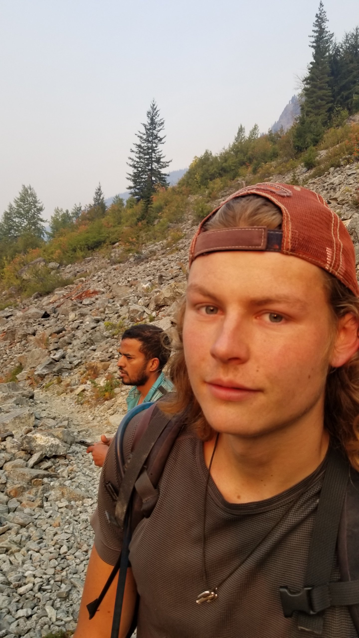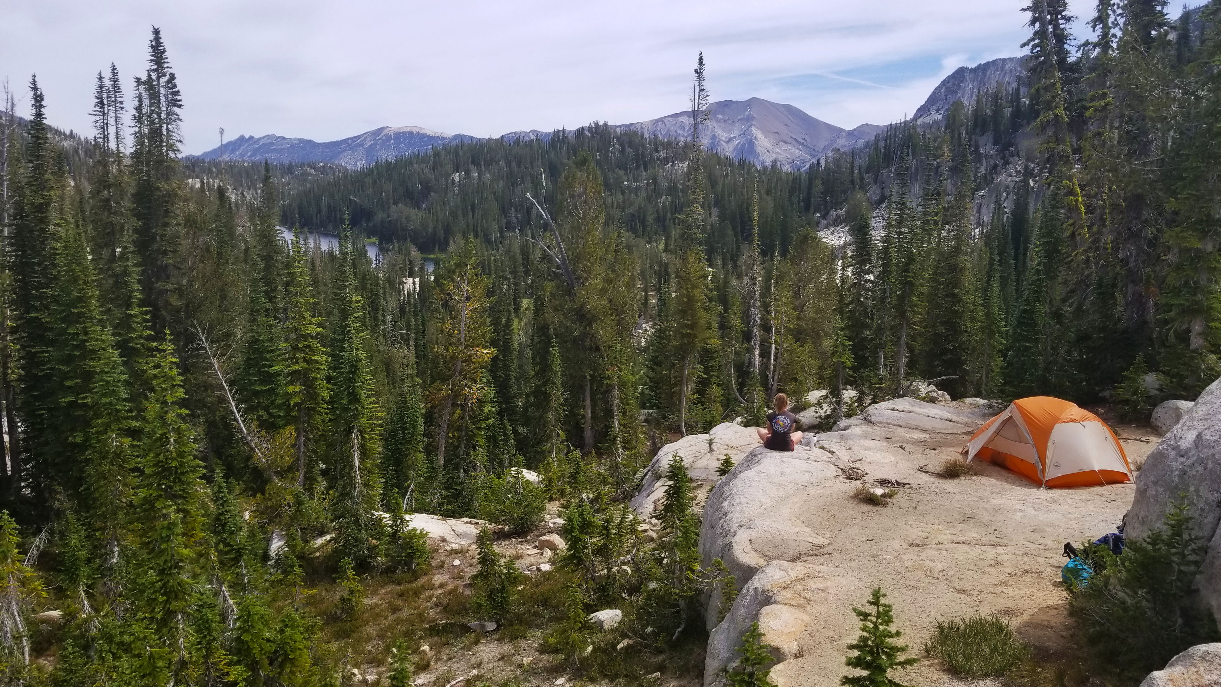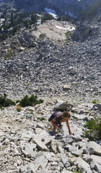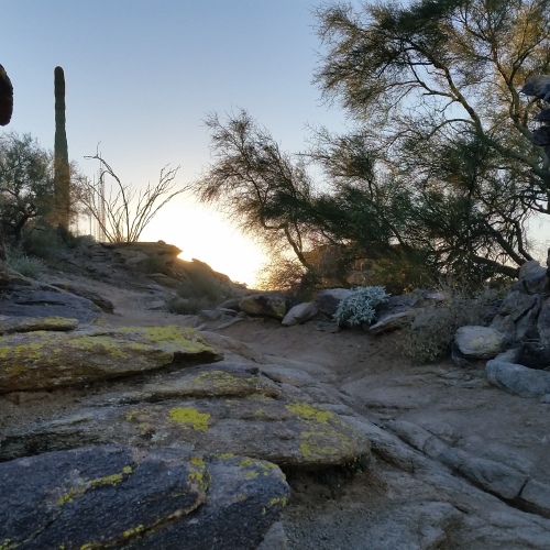

We woke up in the middle of the night to the sound of wind beating on the side of our tent like a landlord looking for overdue rent. The wind soon turned to sparse rain, and we assumed a cold front was passing through. The wind took its time settling down and we finally got back to sleep. The alarm went off, and it went to snooze. Needless to say, we had a late start. I think we just weren’t in any hurry to get back to crowds of people, loud cars on the road, and the hum of the daily news.

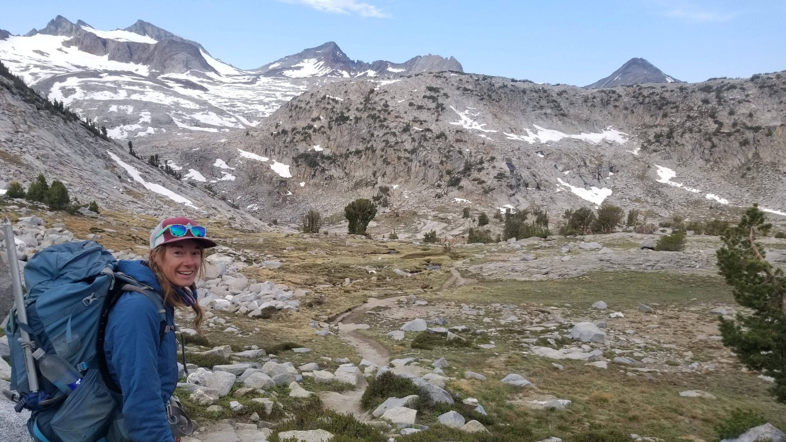
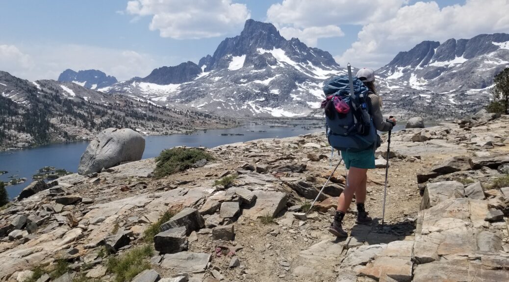
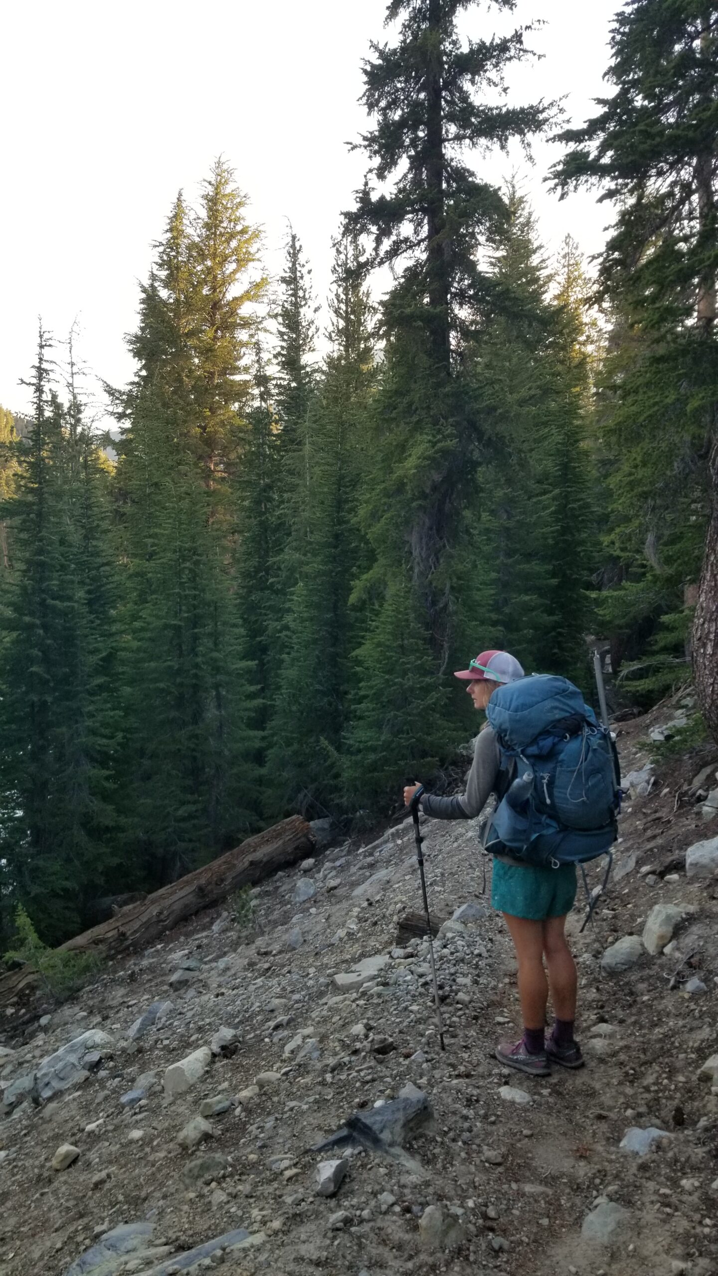
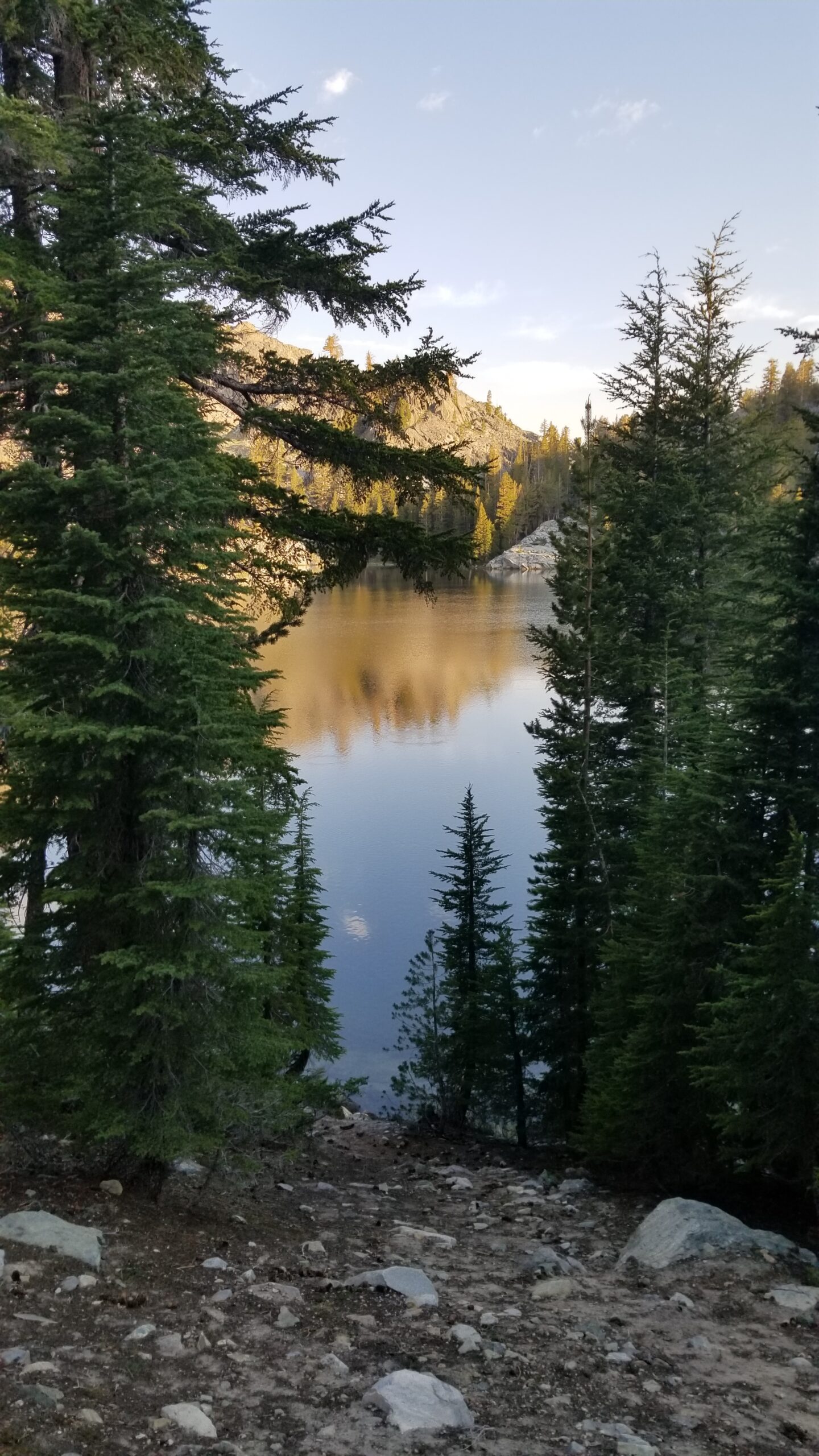
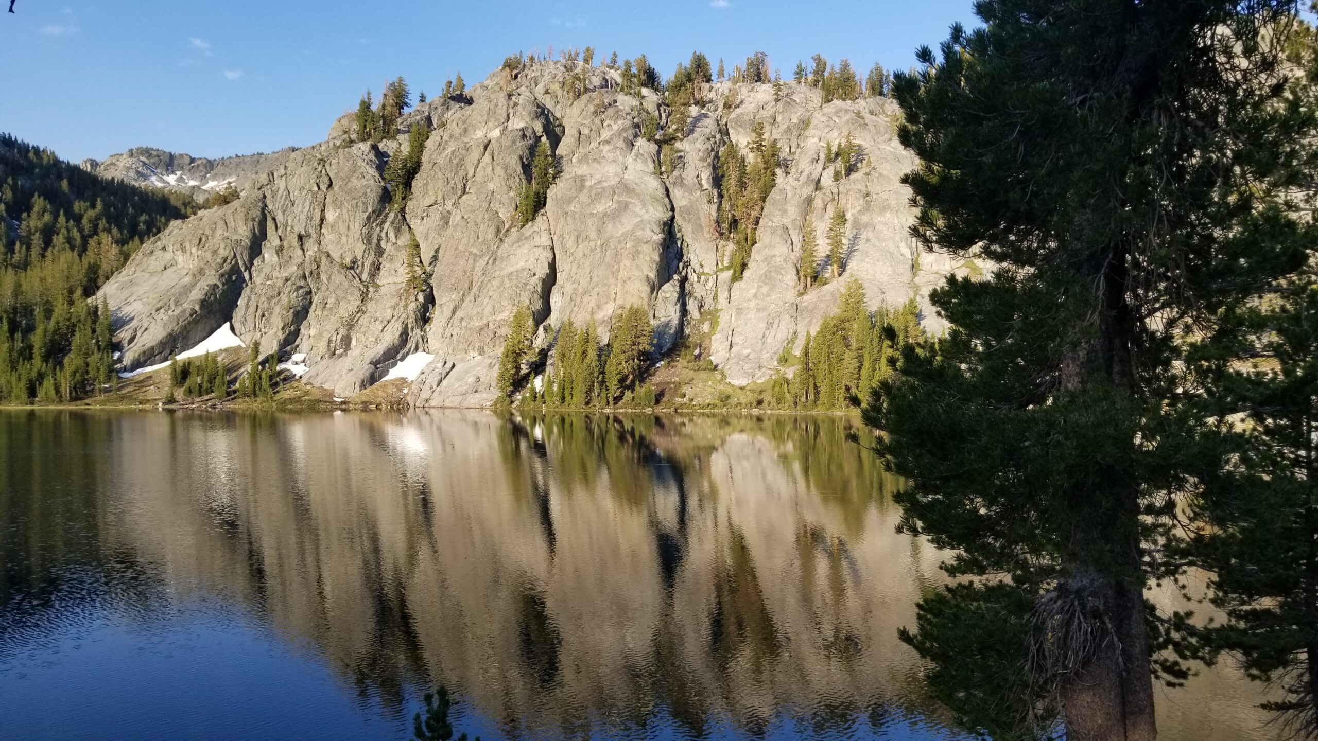
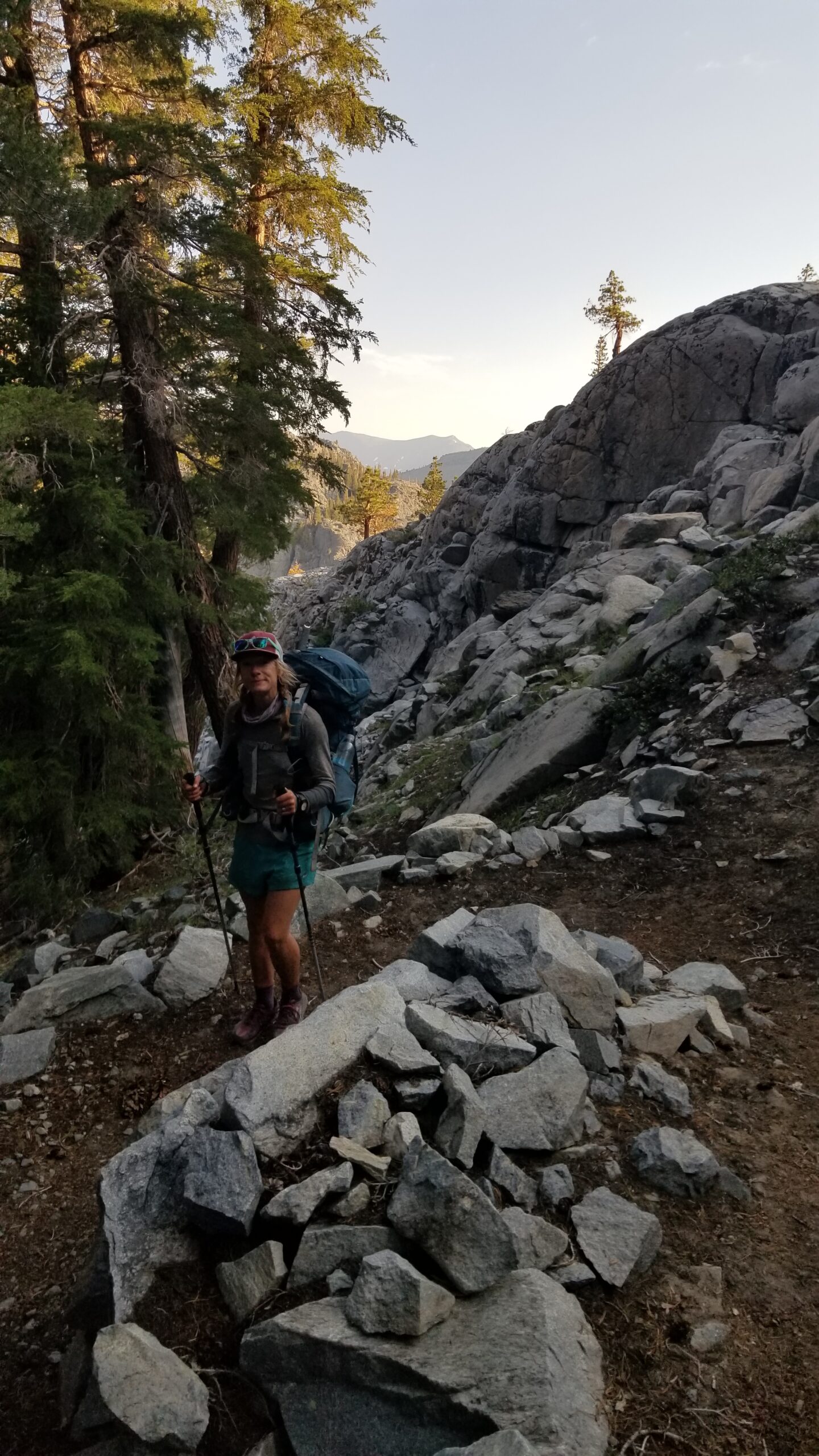
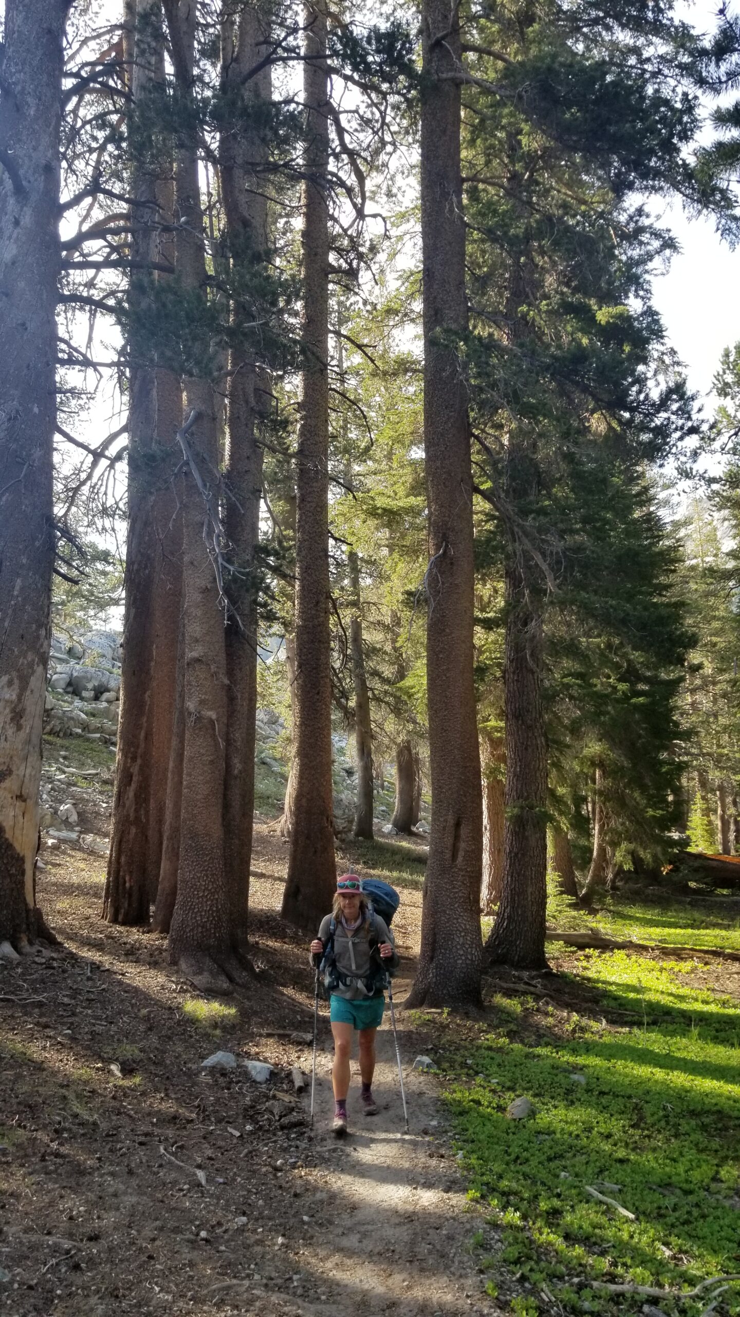
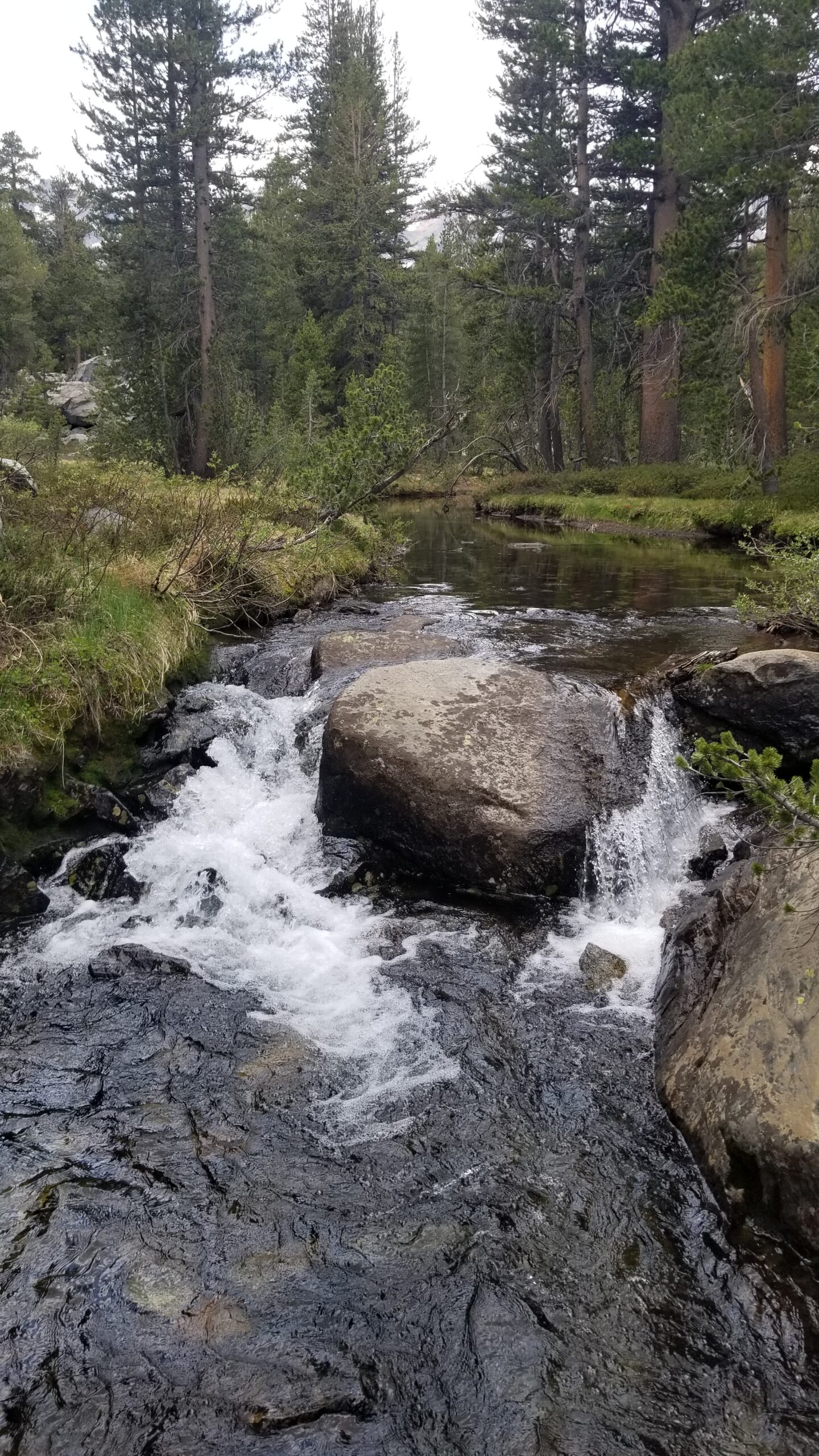
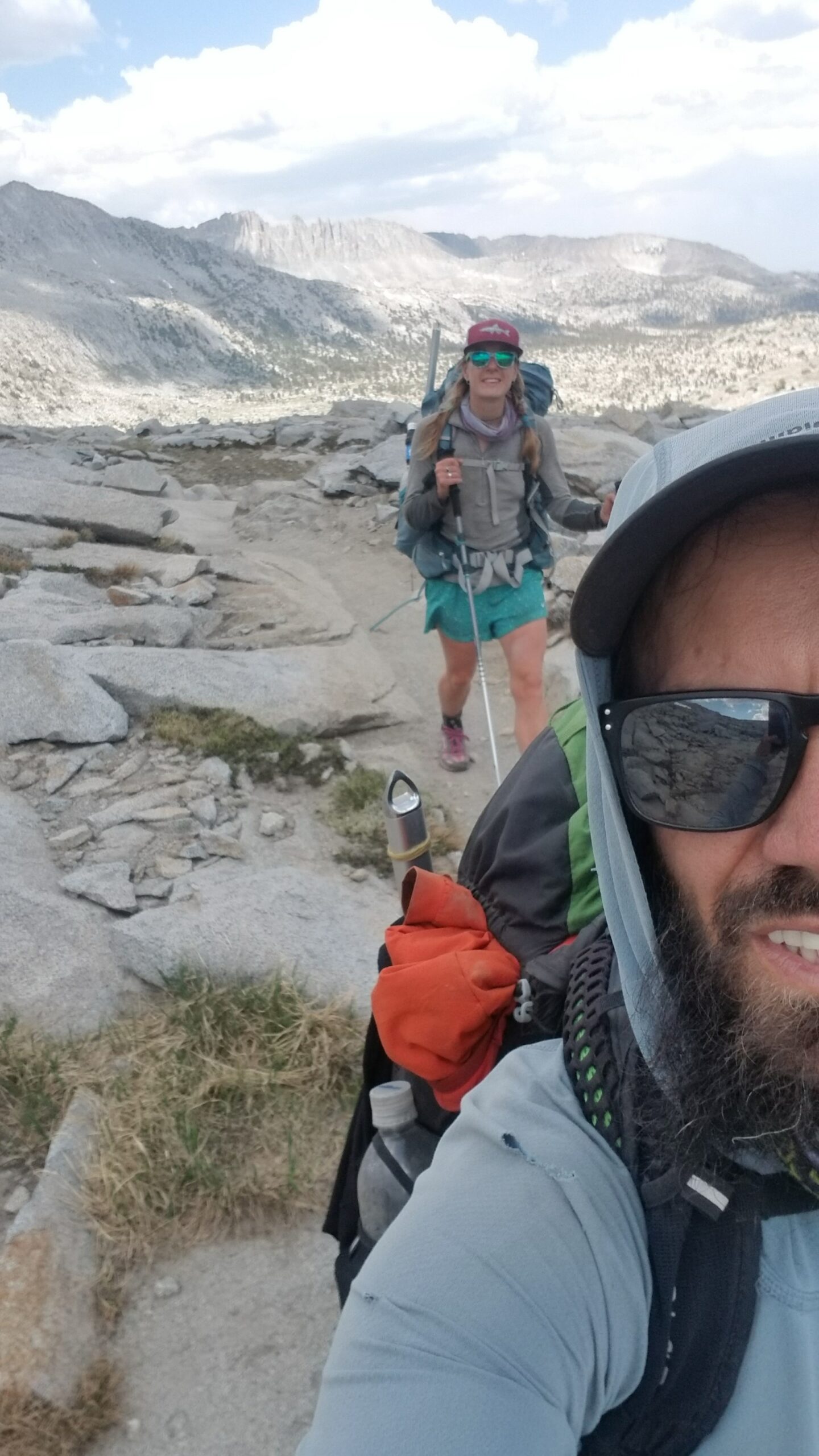
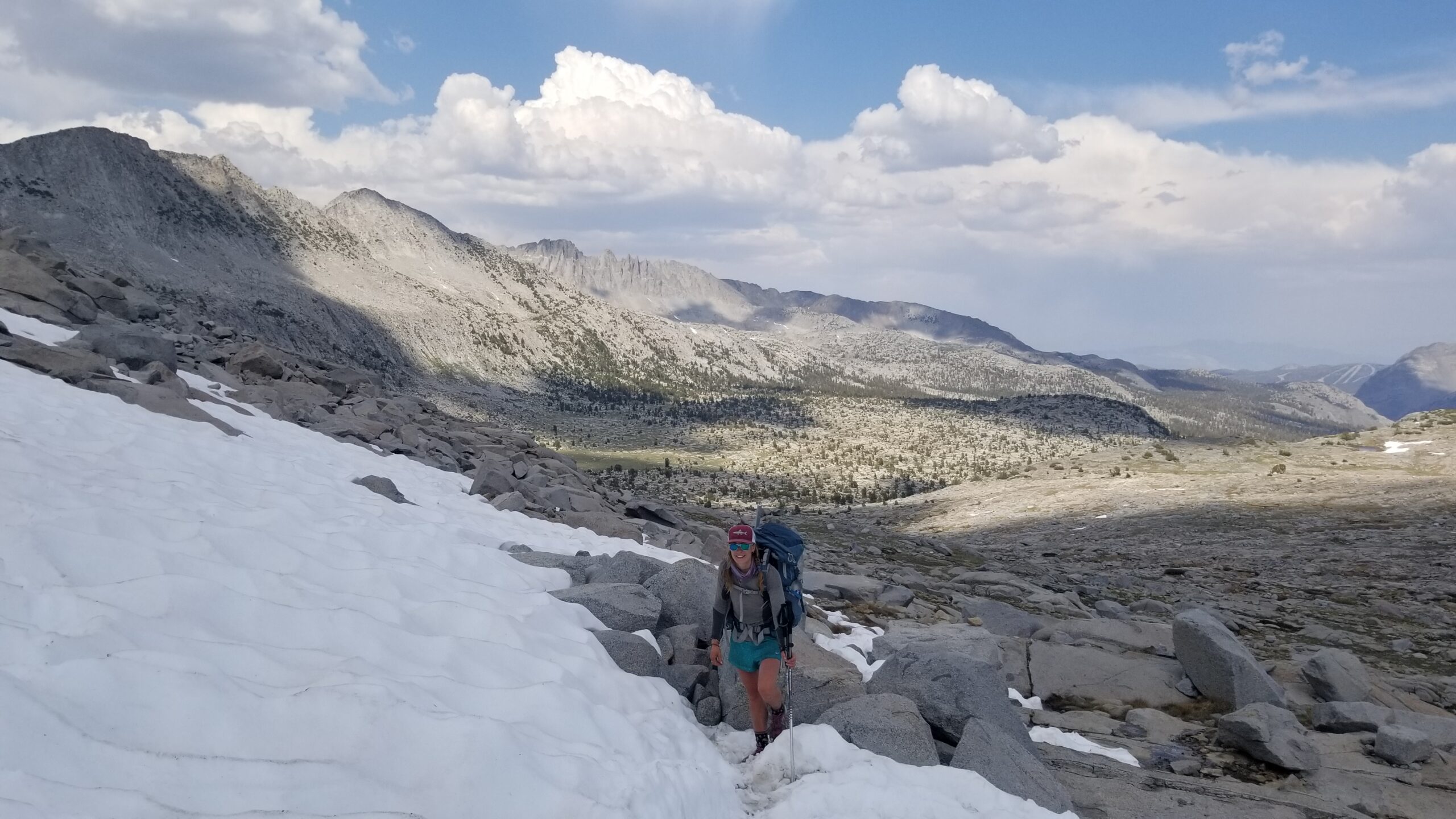
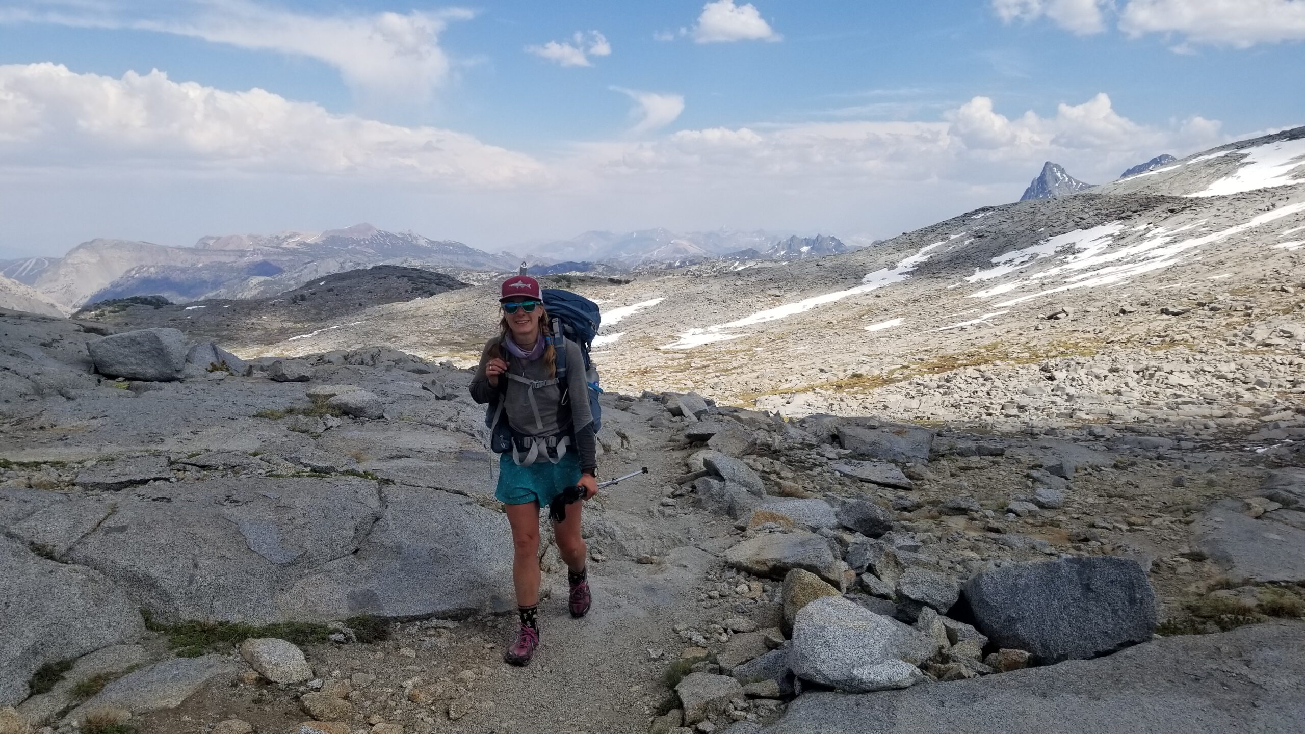
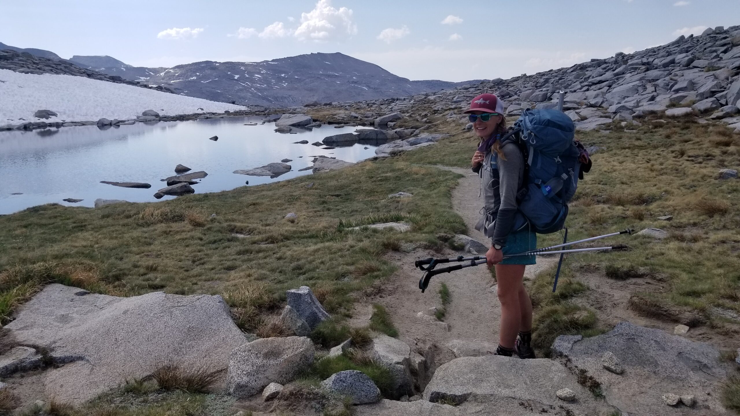
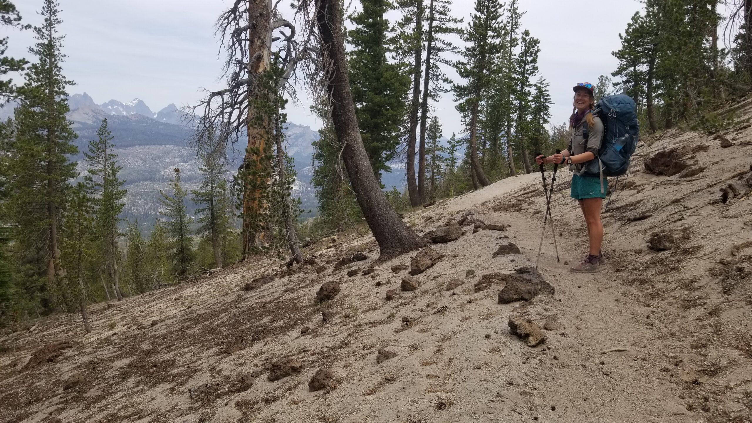
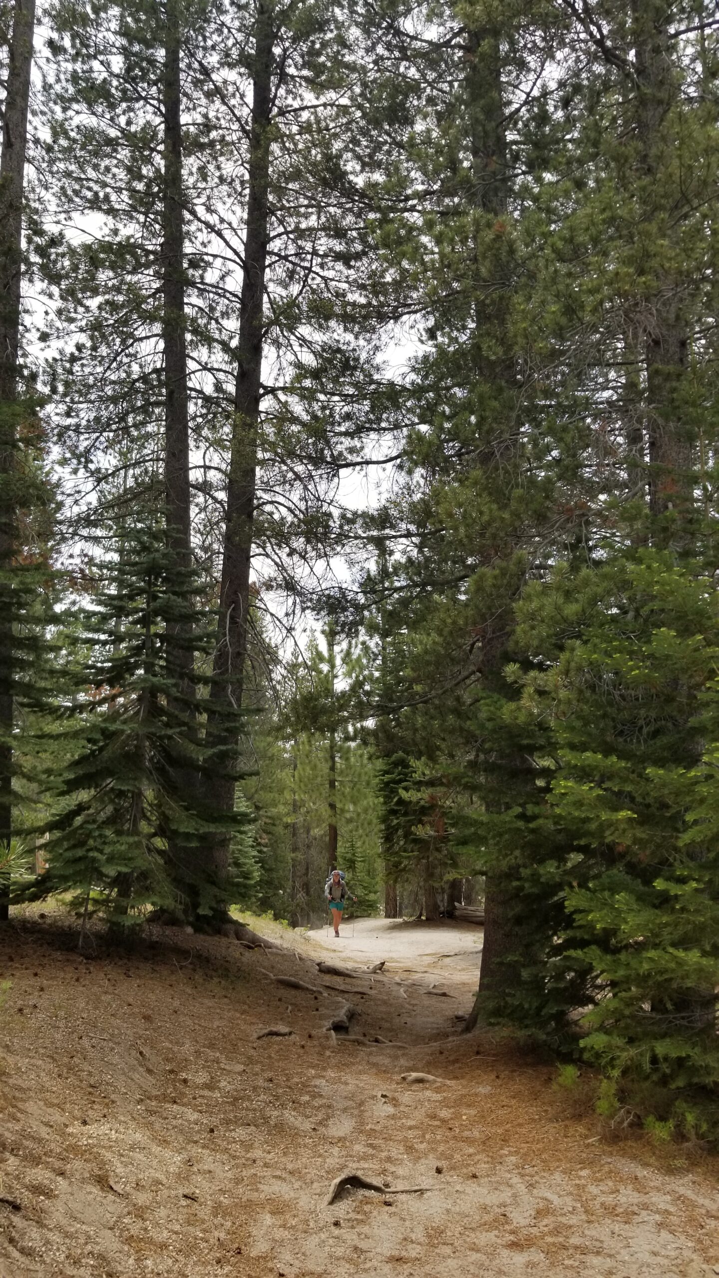
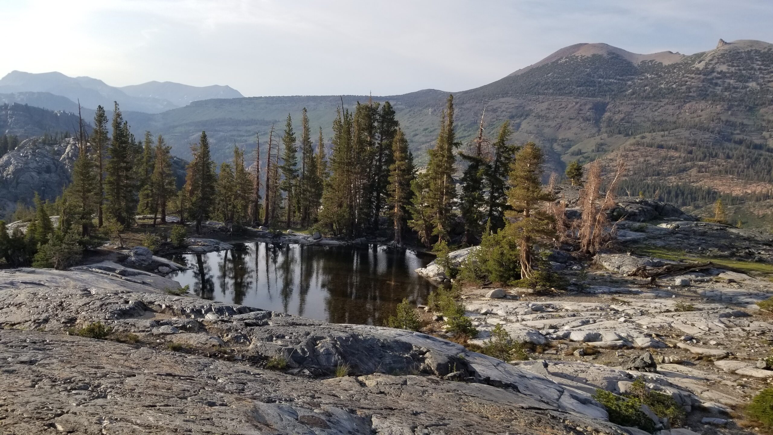
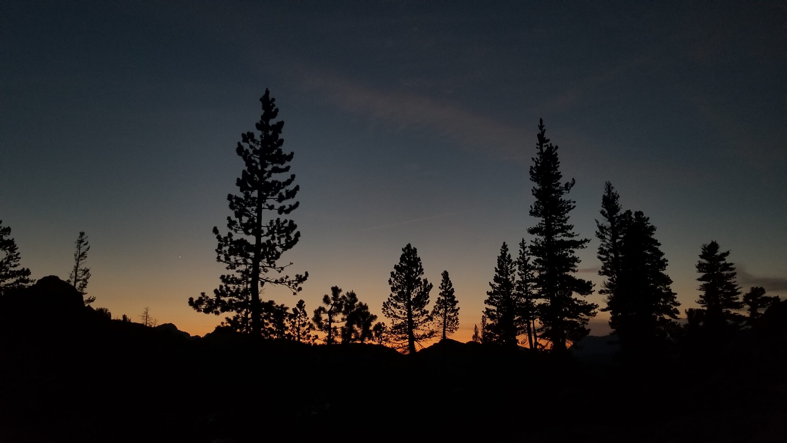
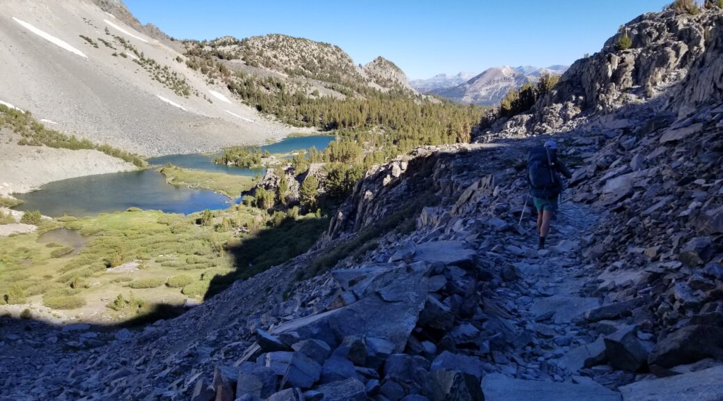
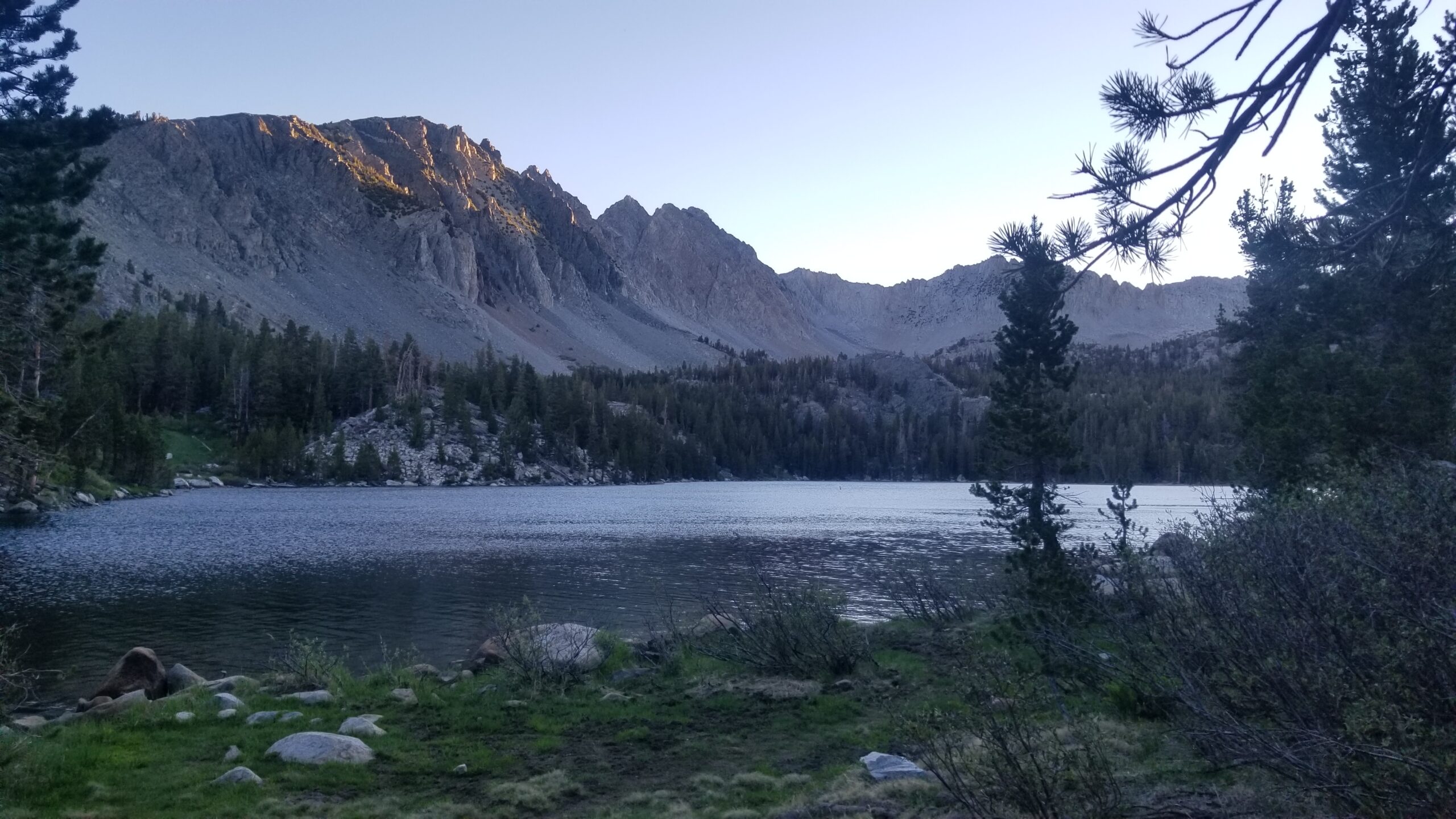
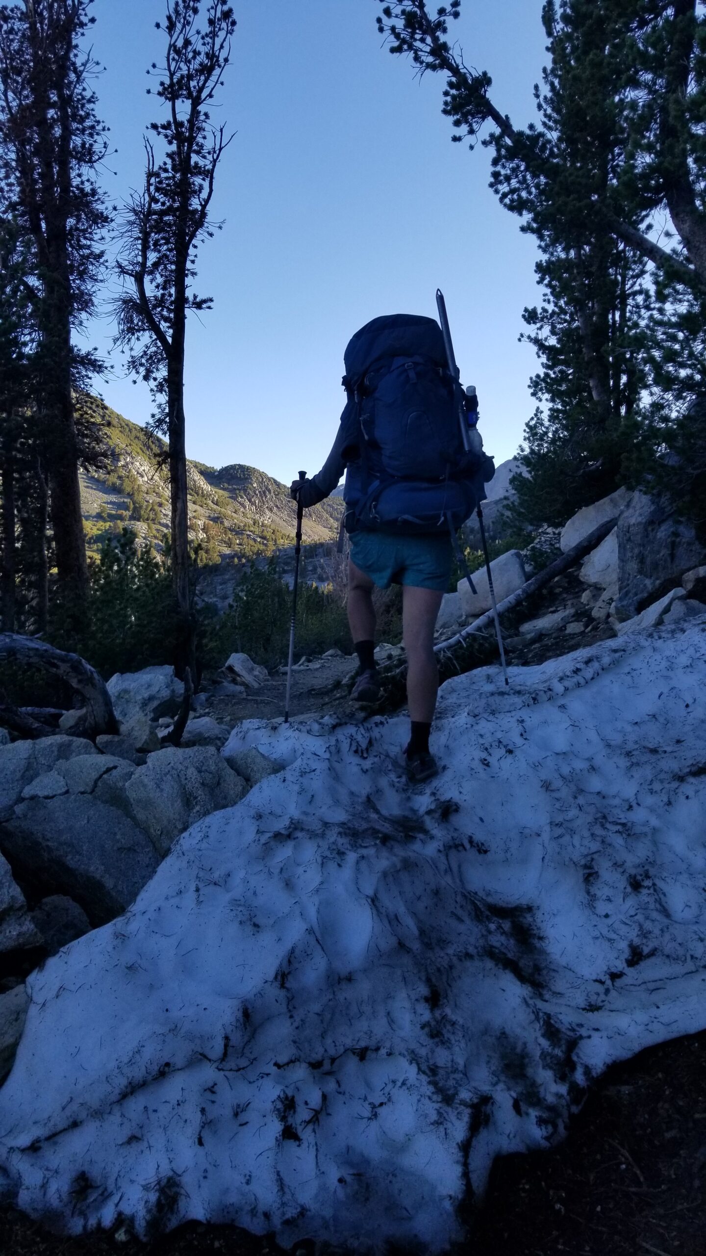
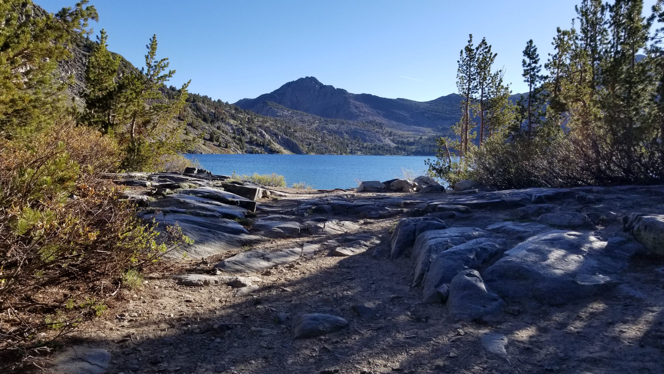
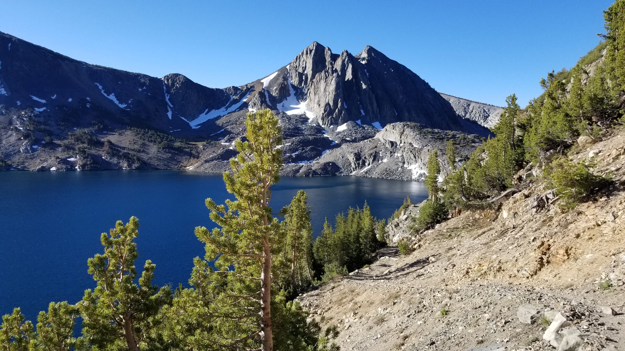
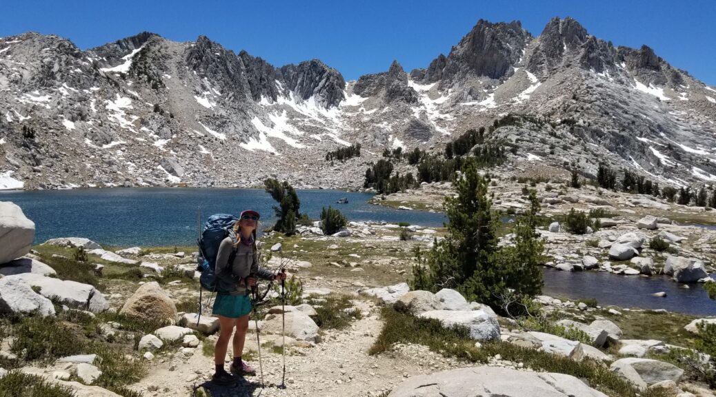
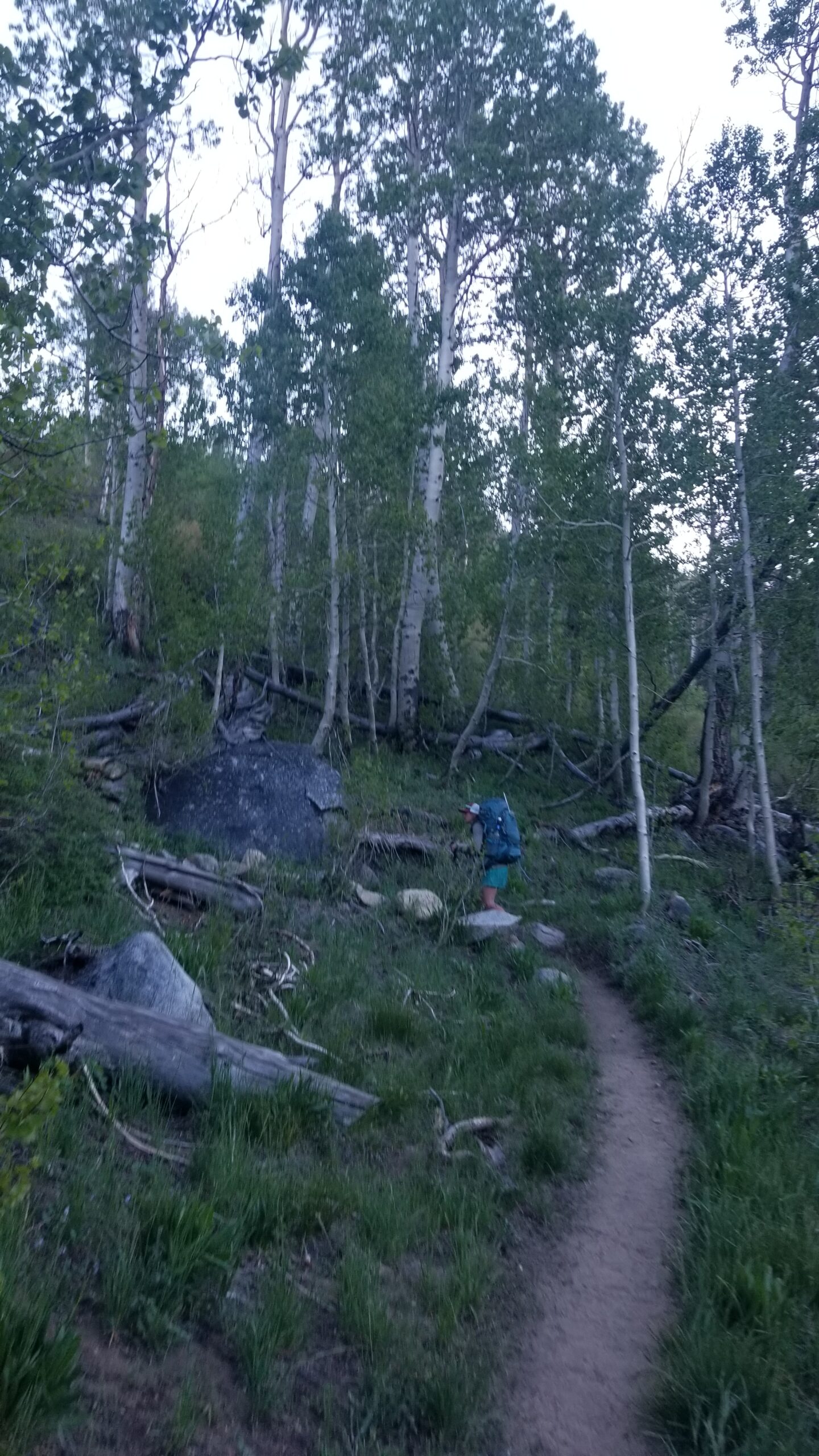
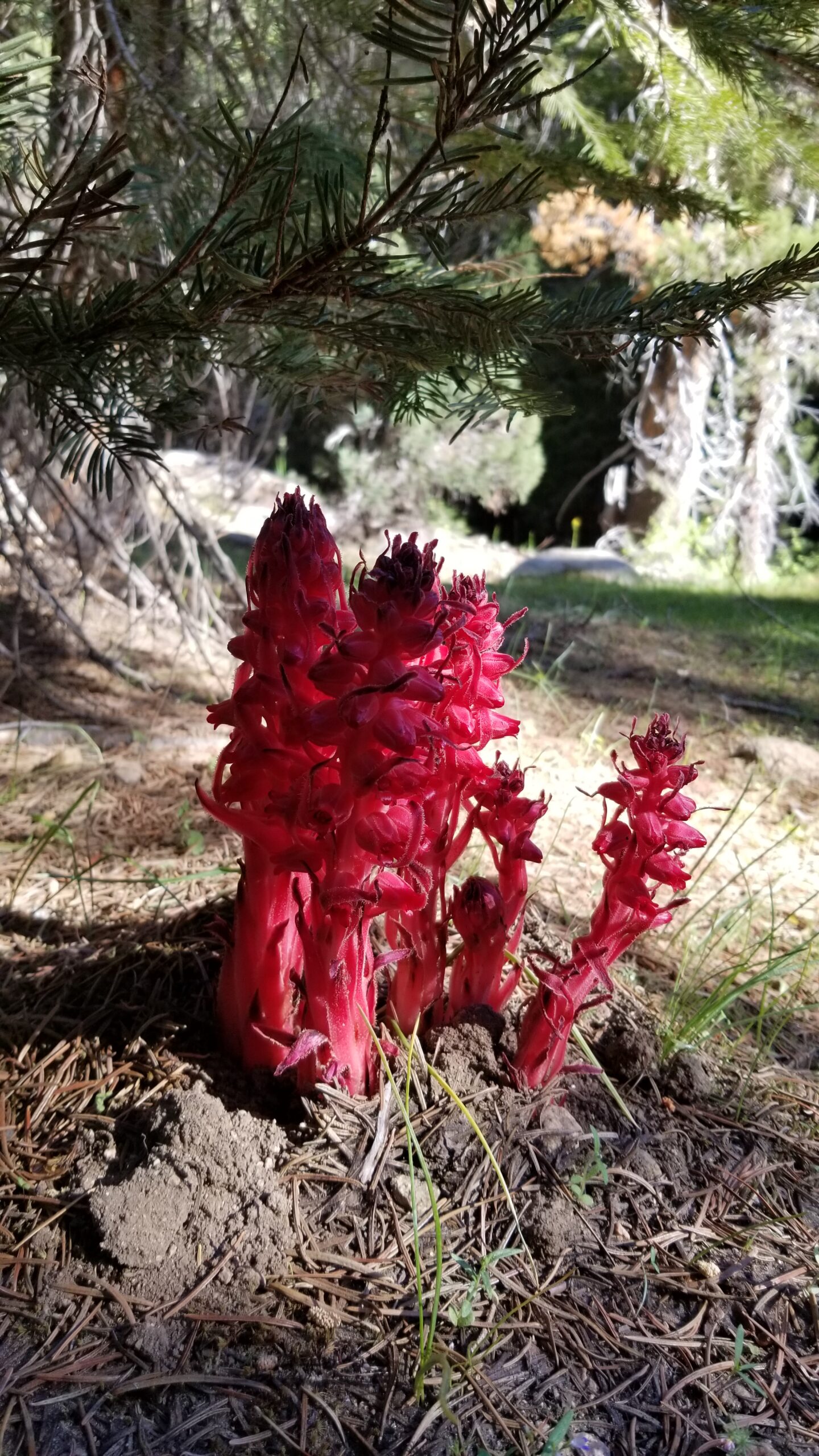
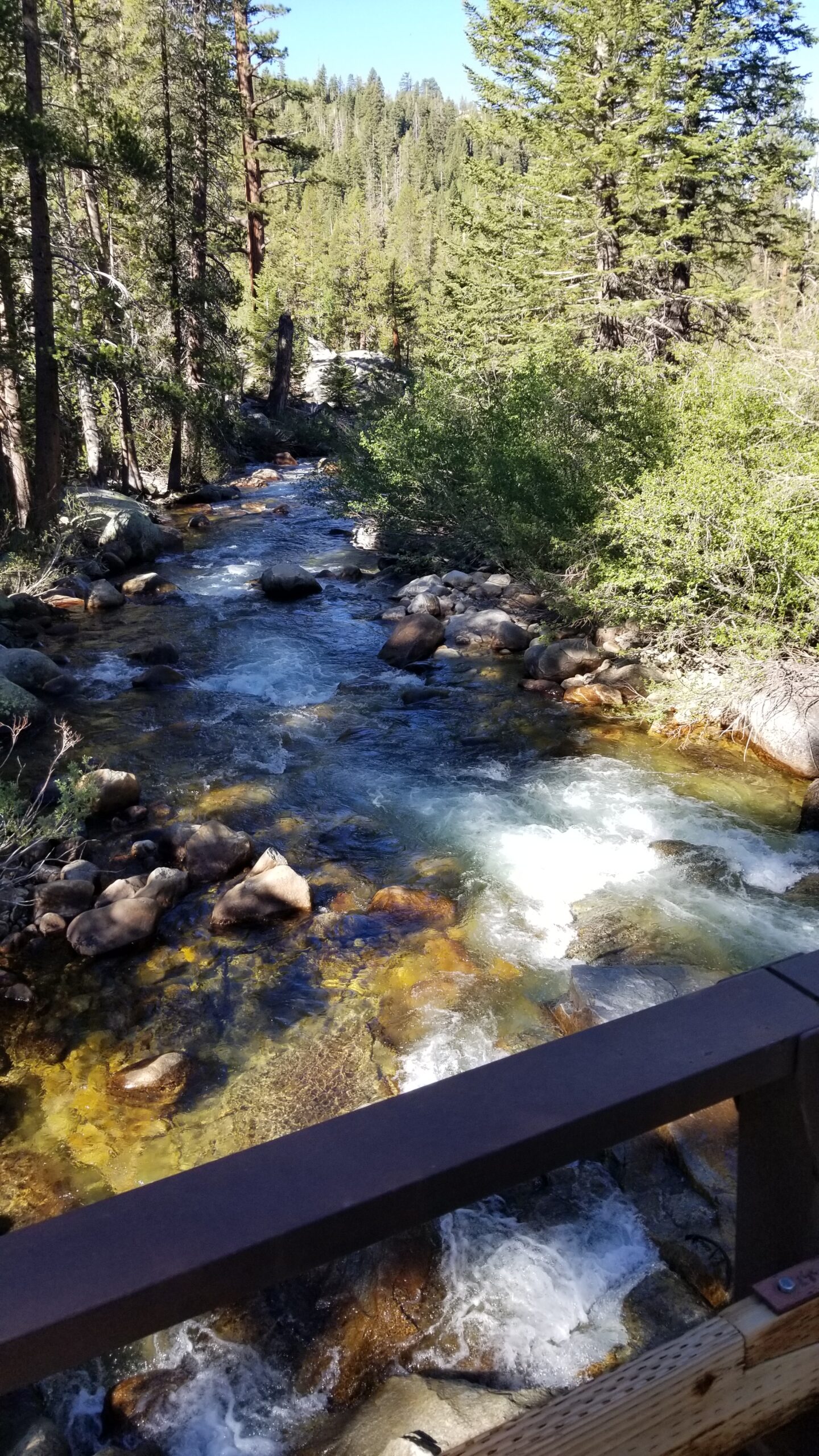
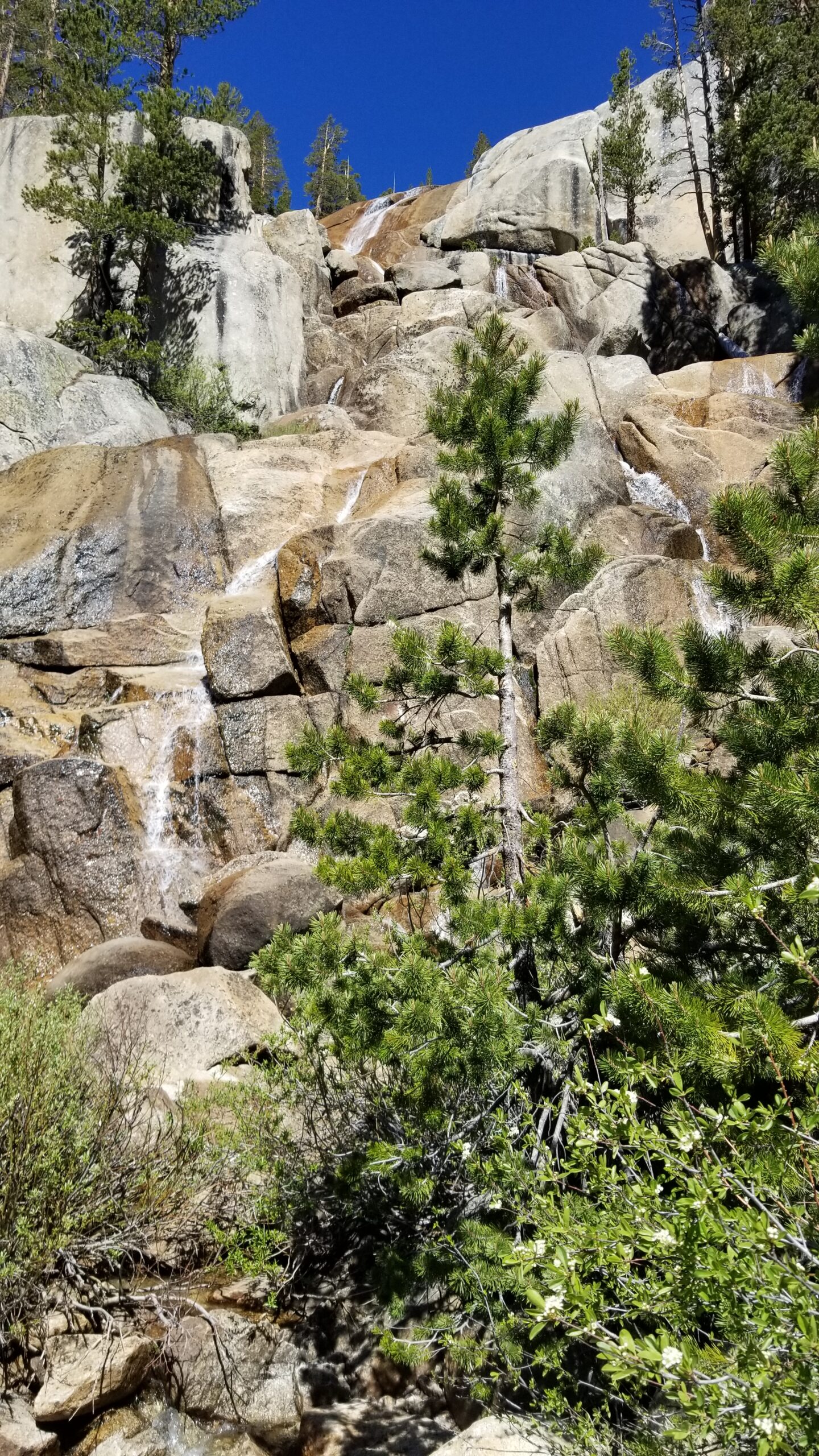
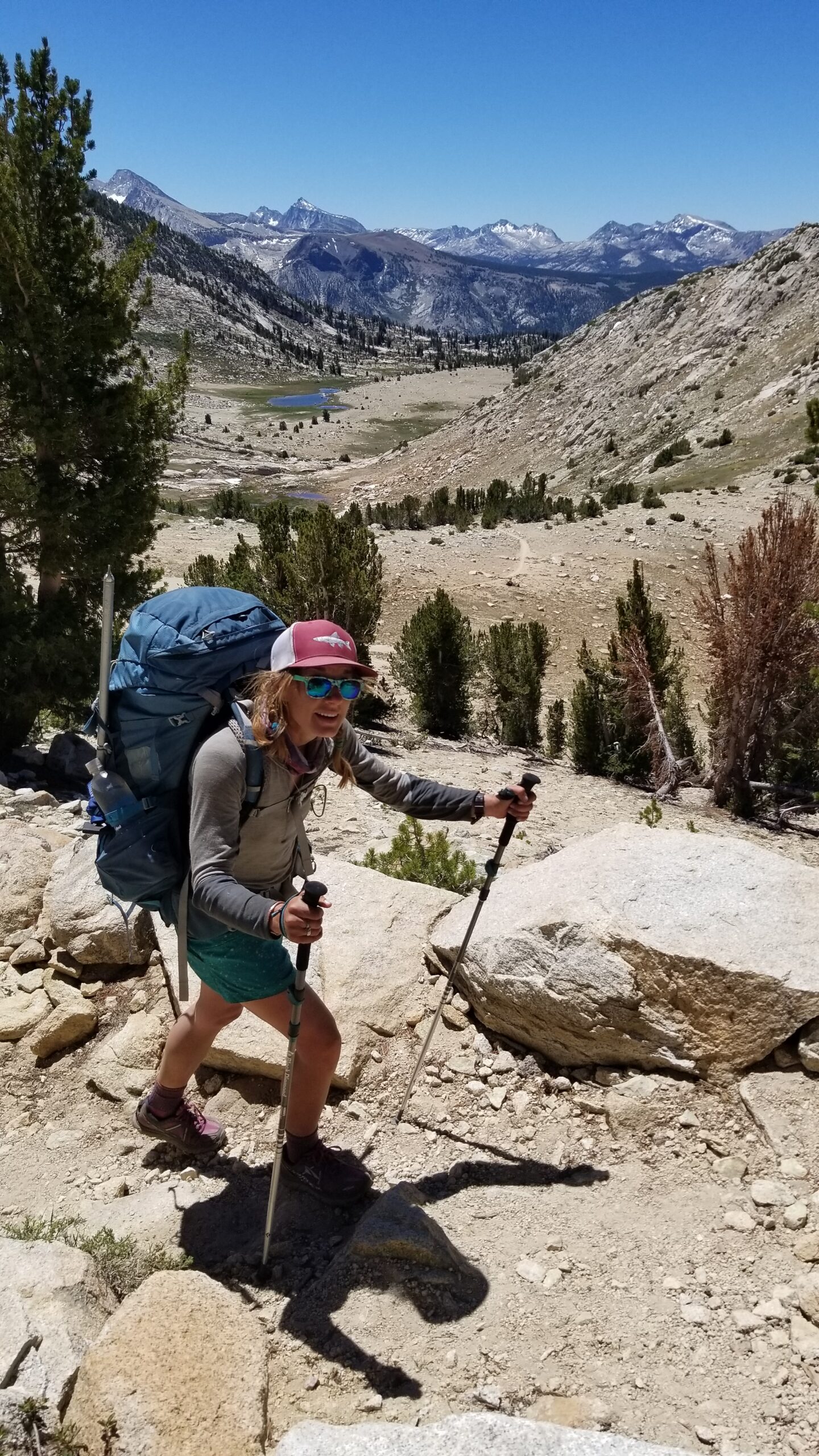
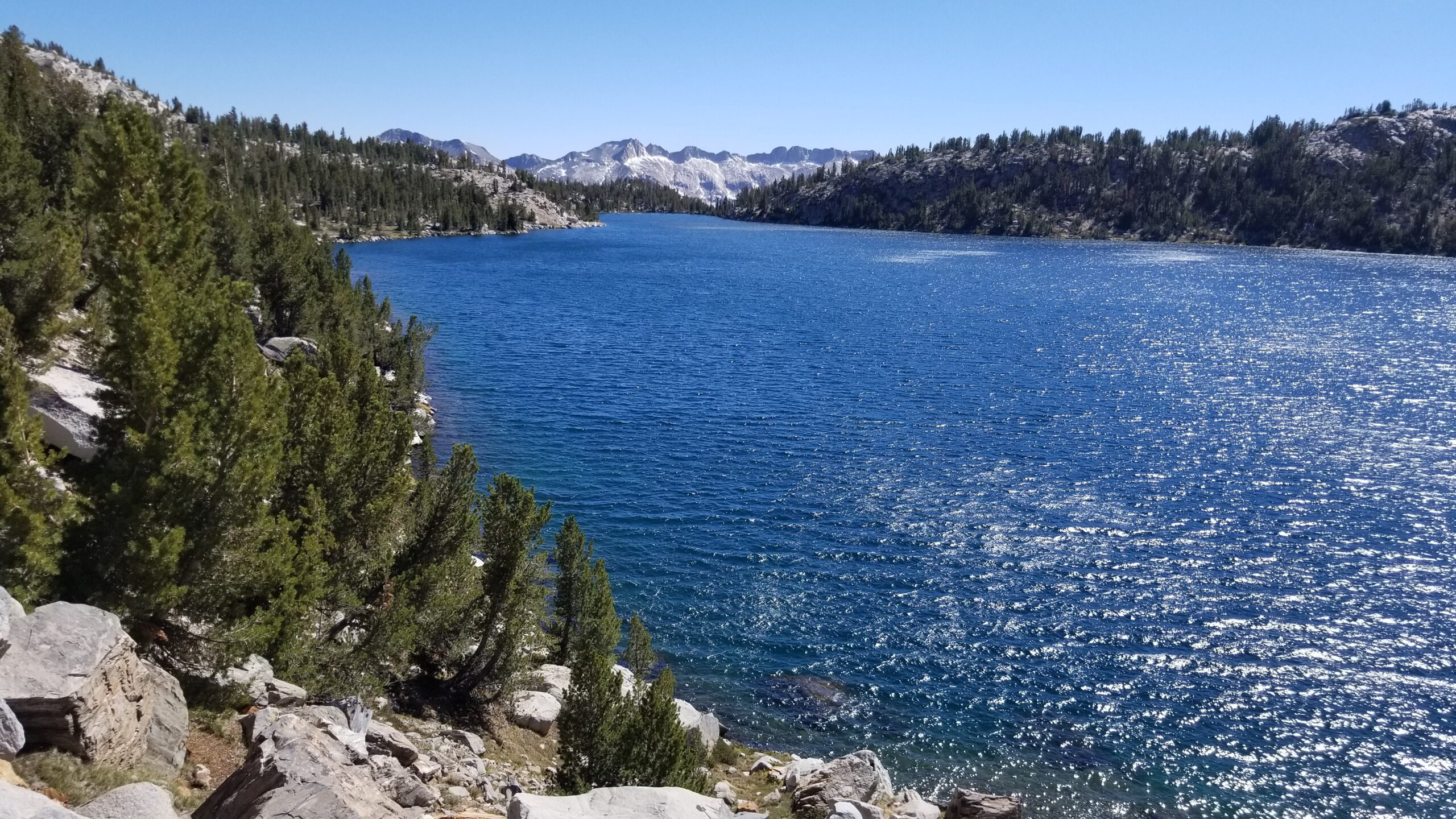
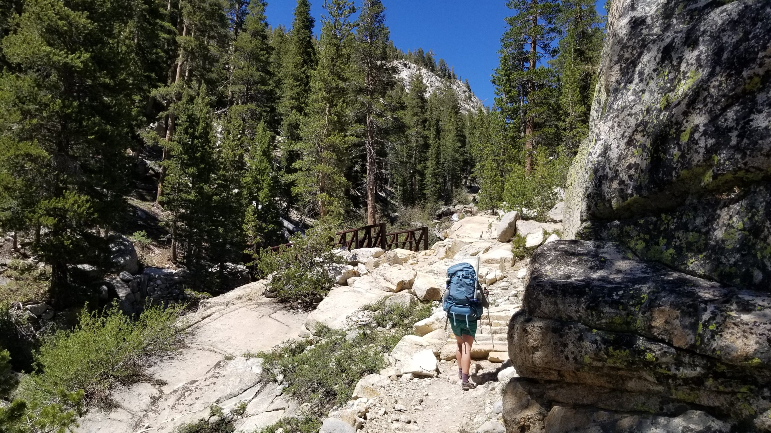
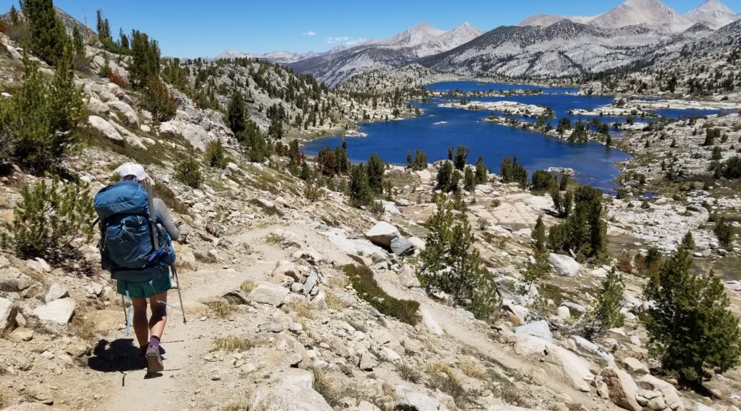
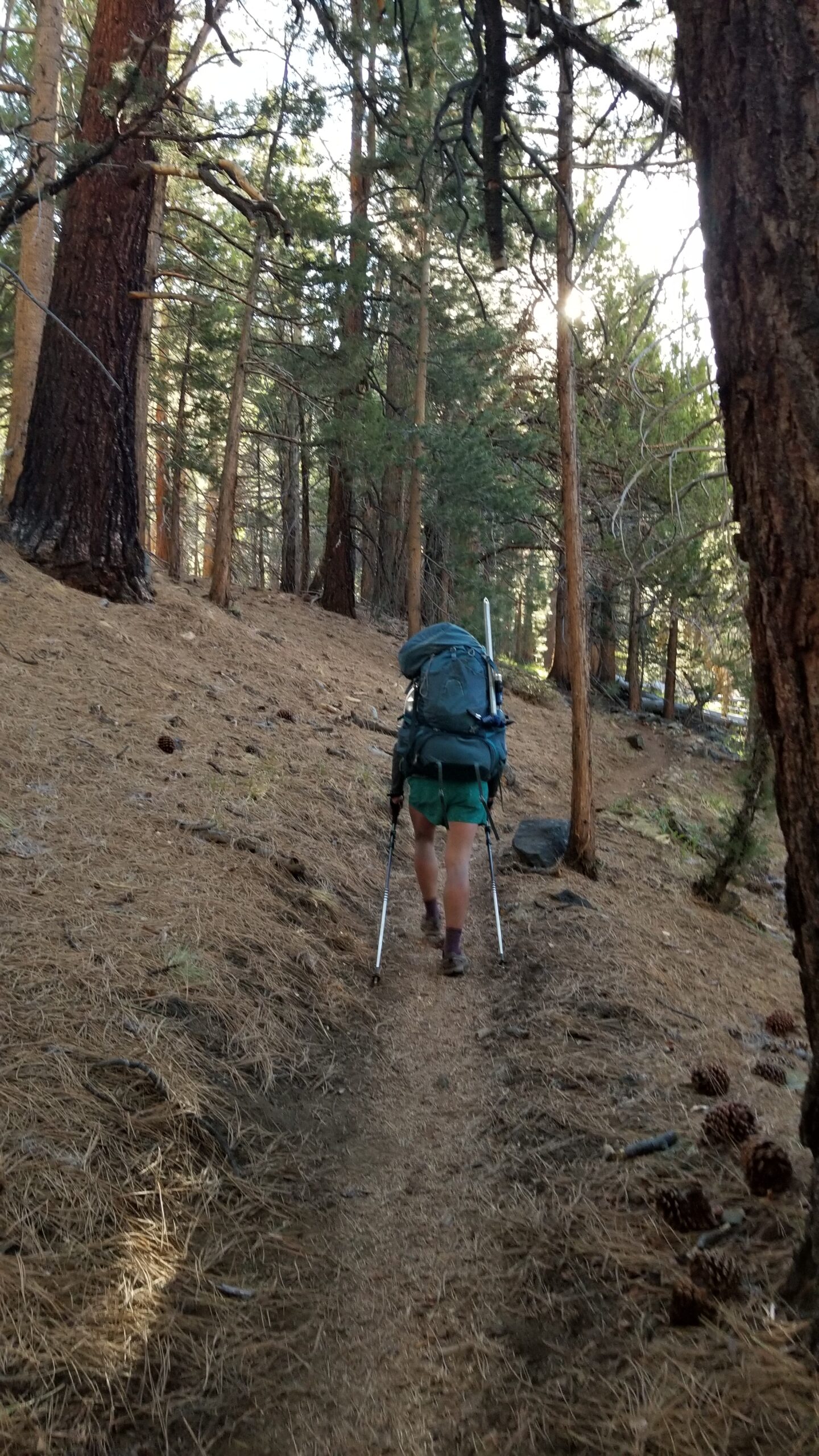
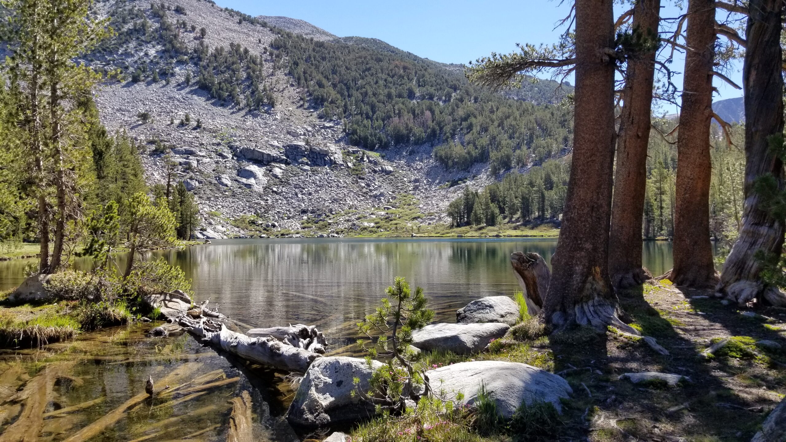
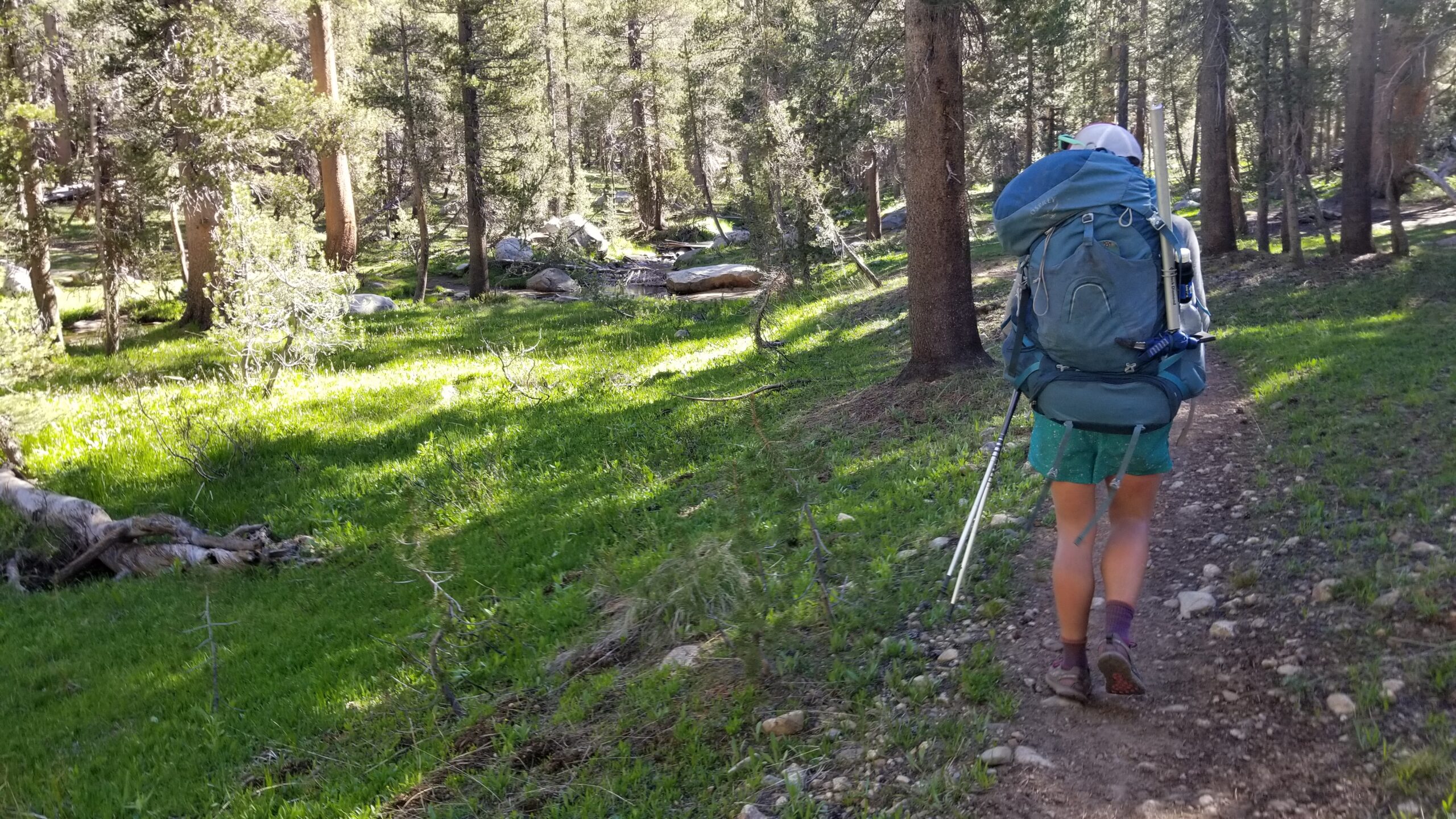
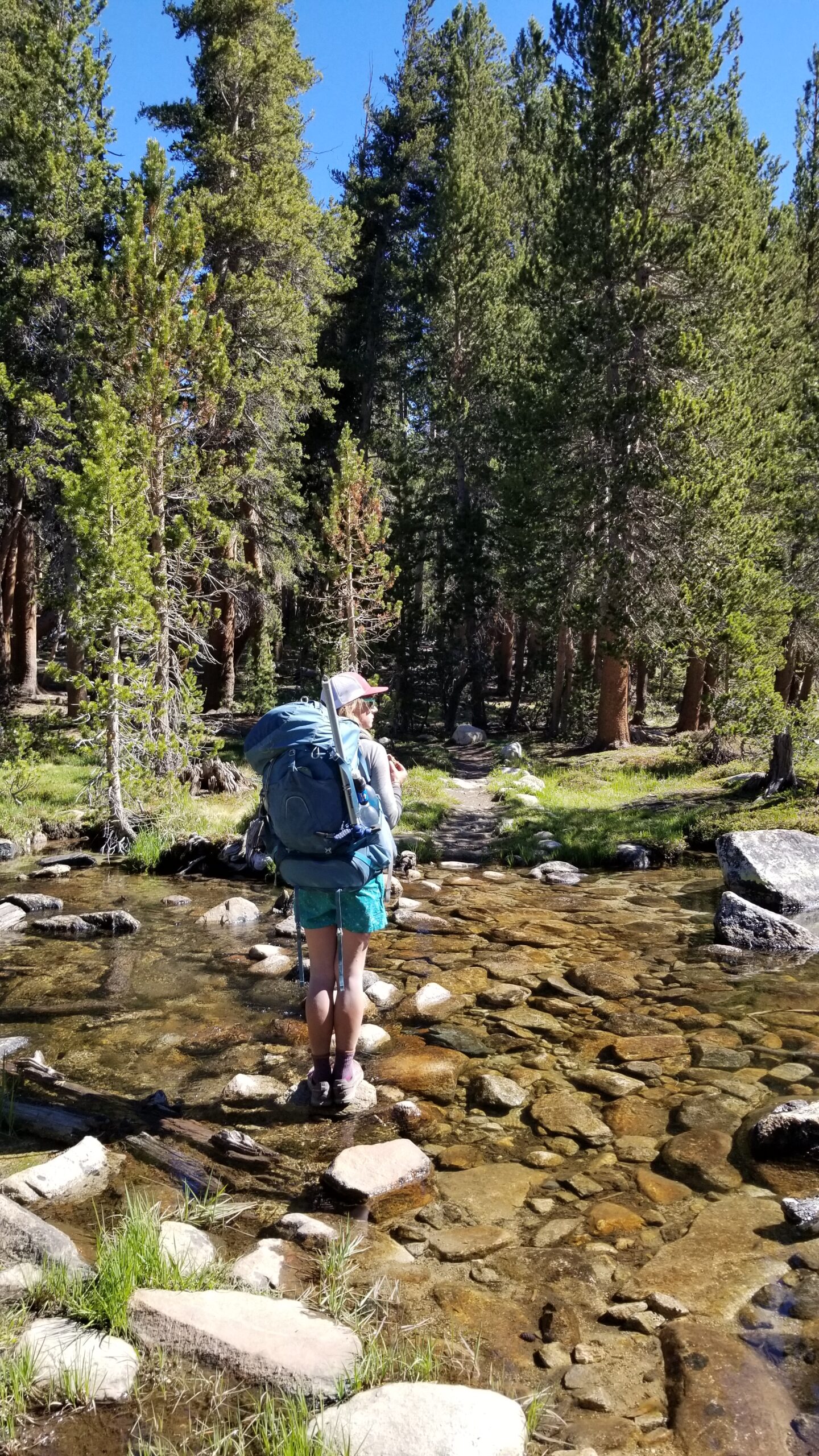
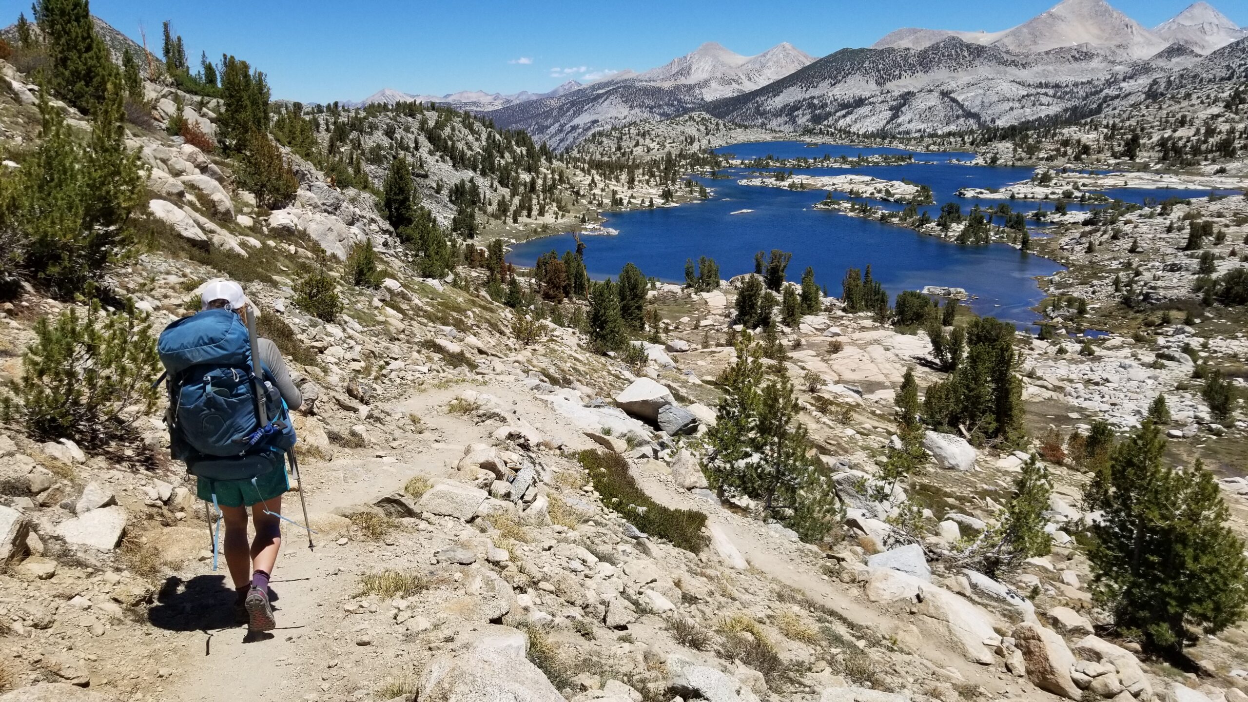
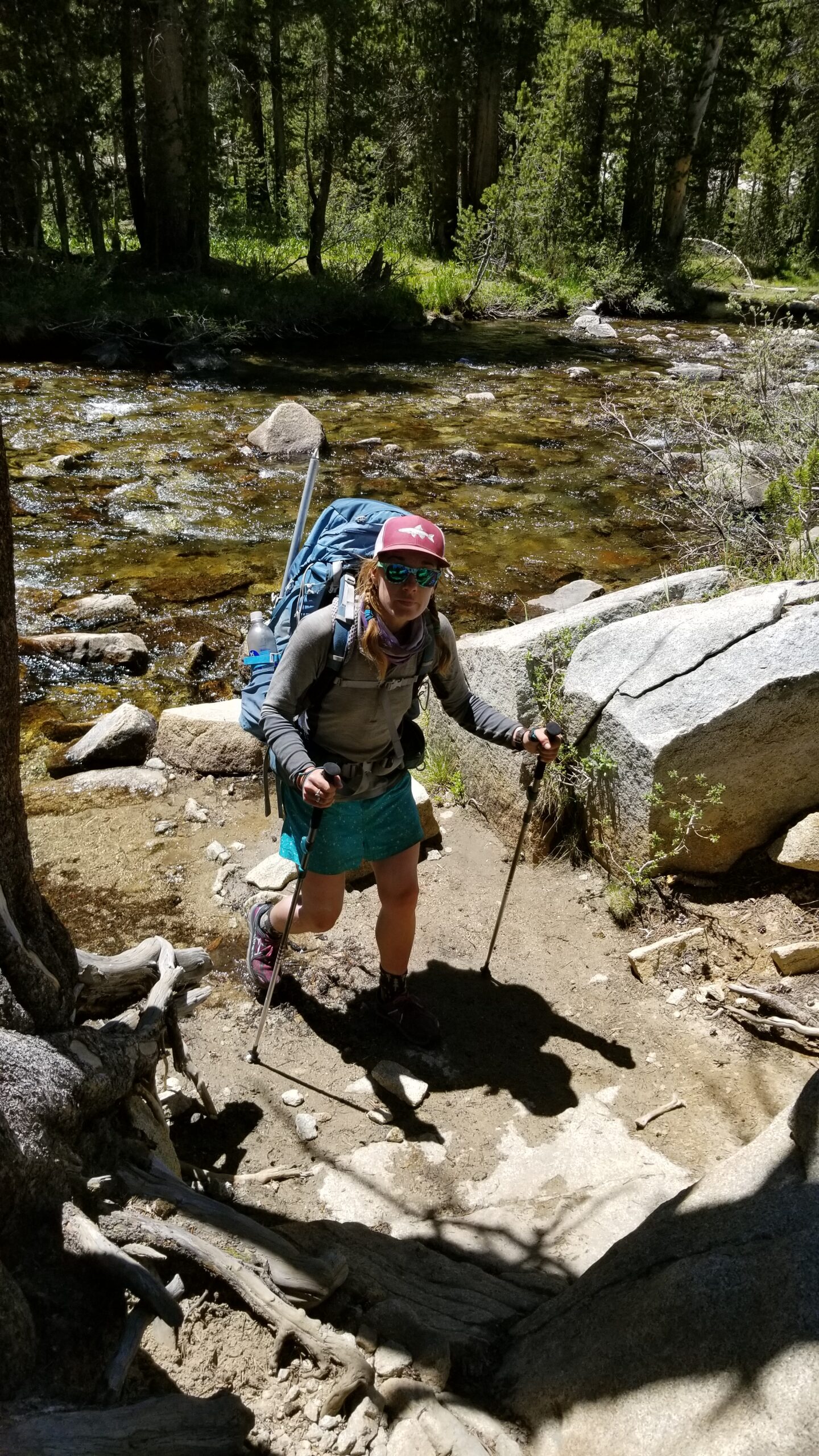
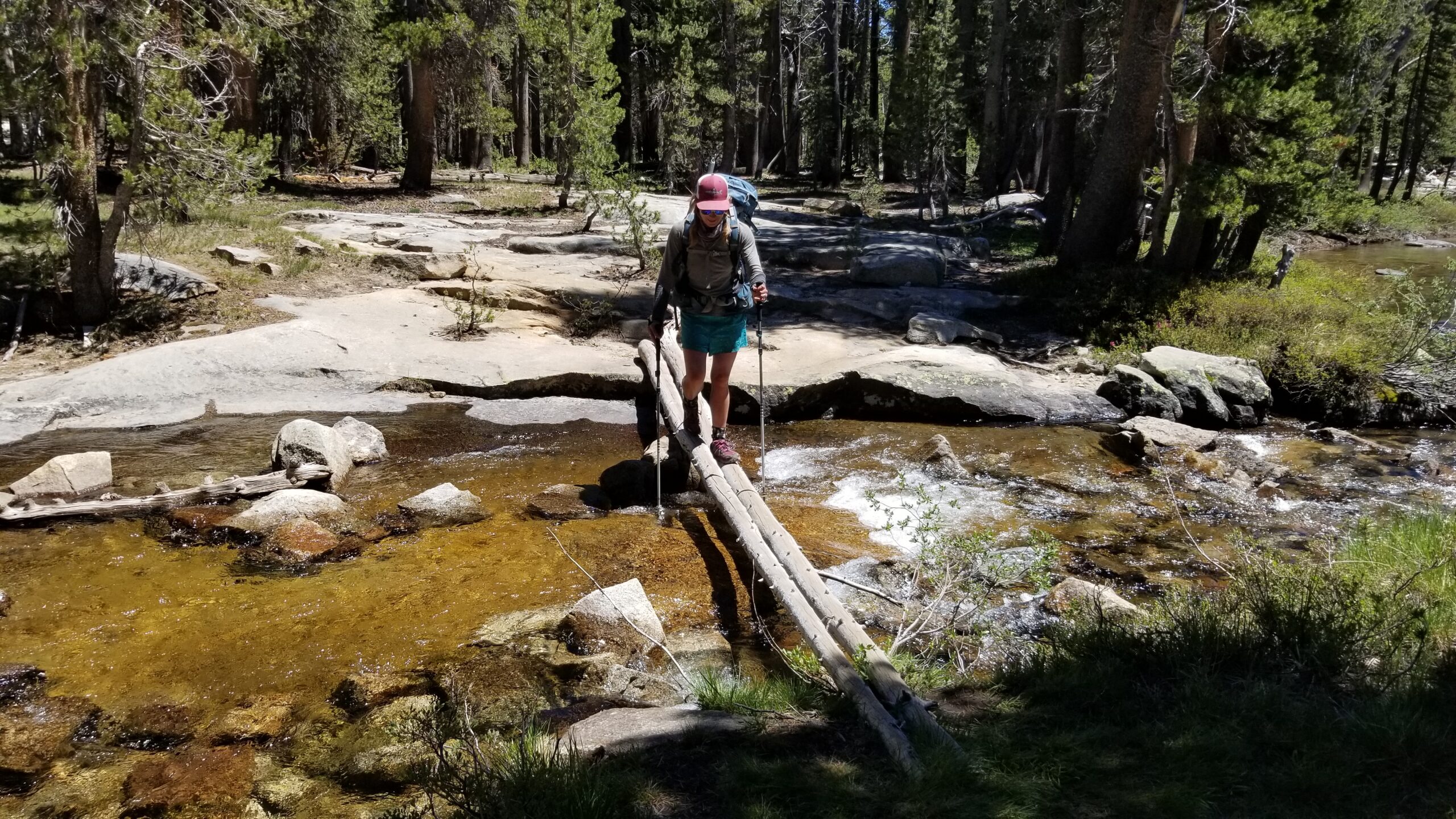
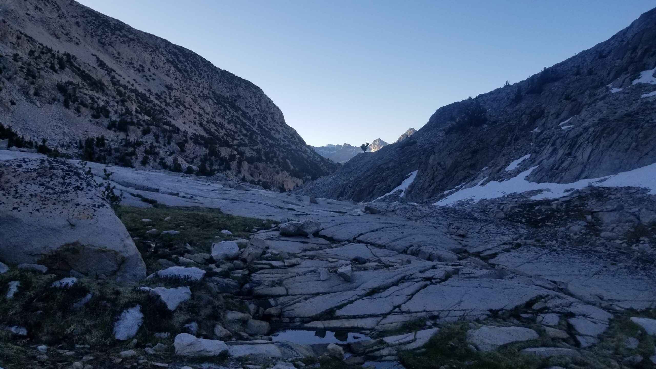
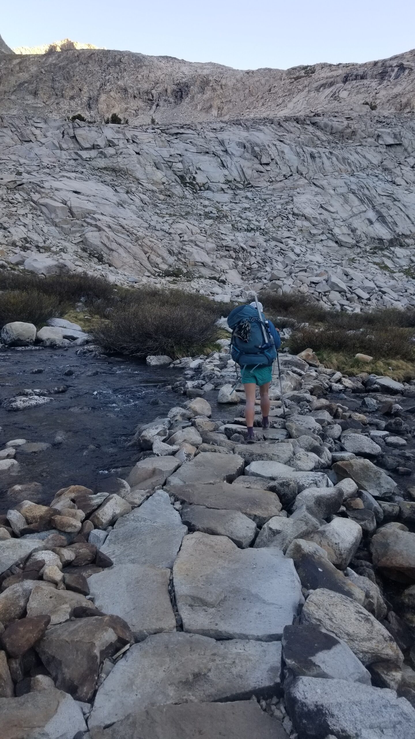
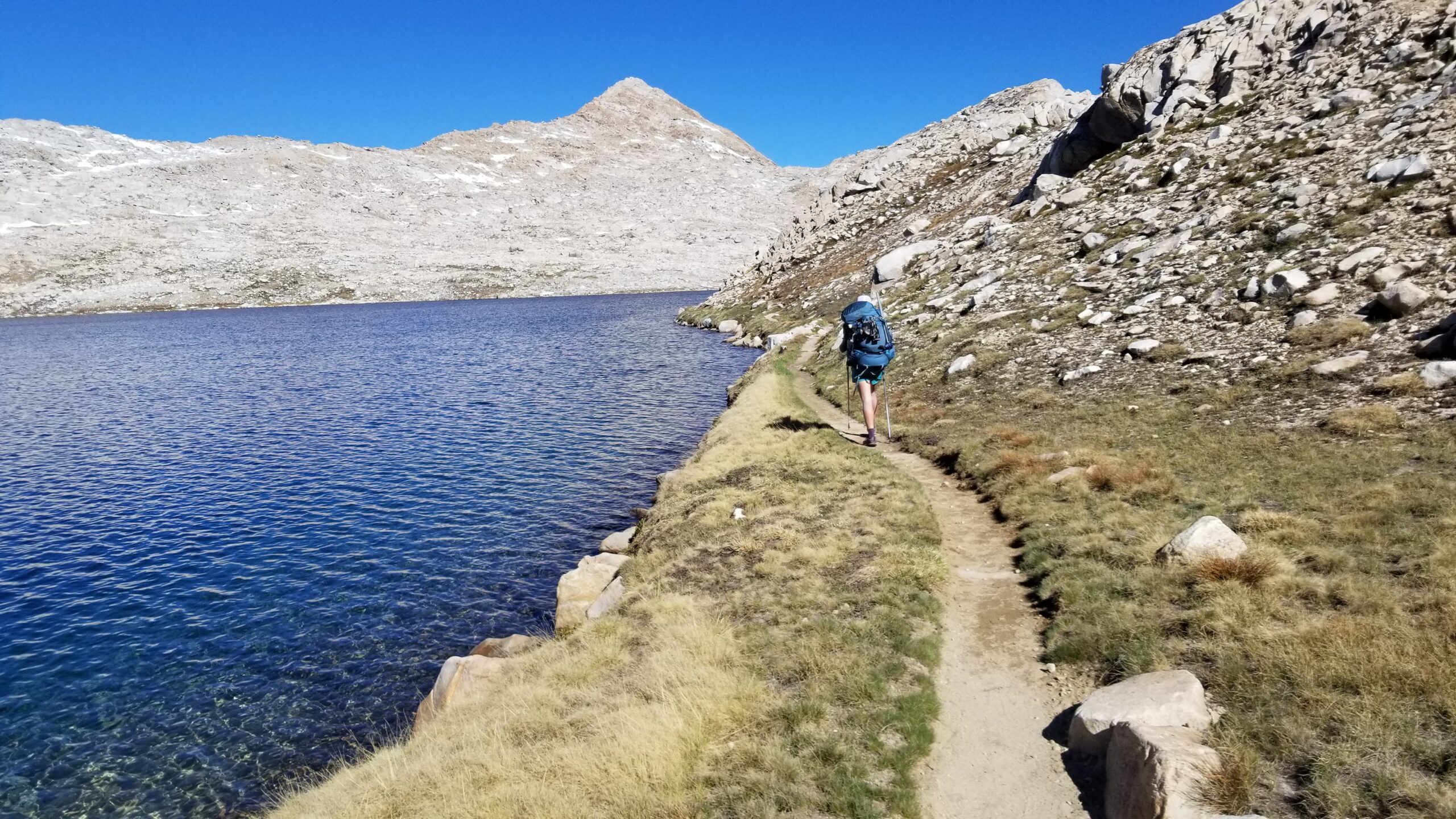
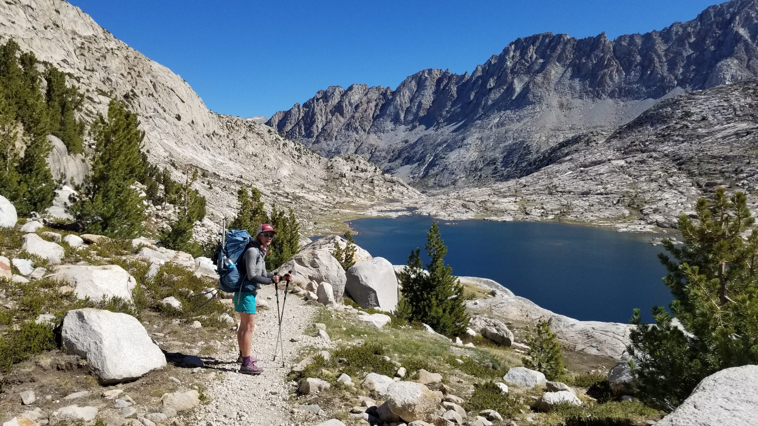
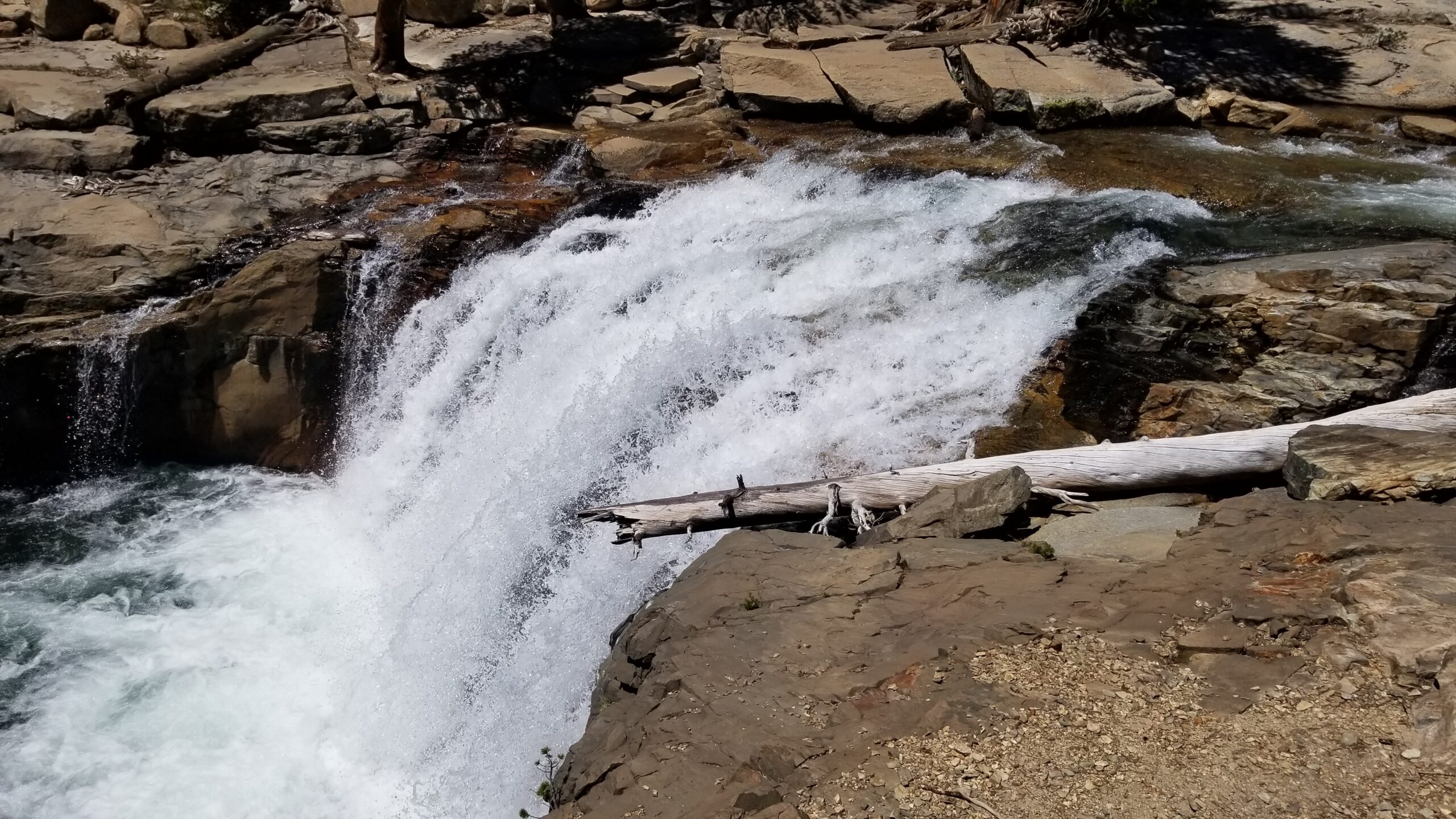
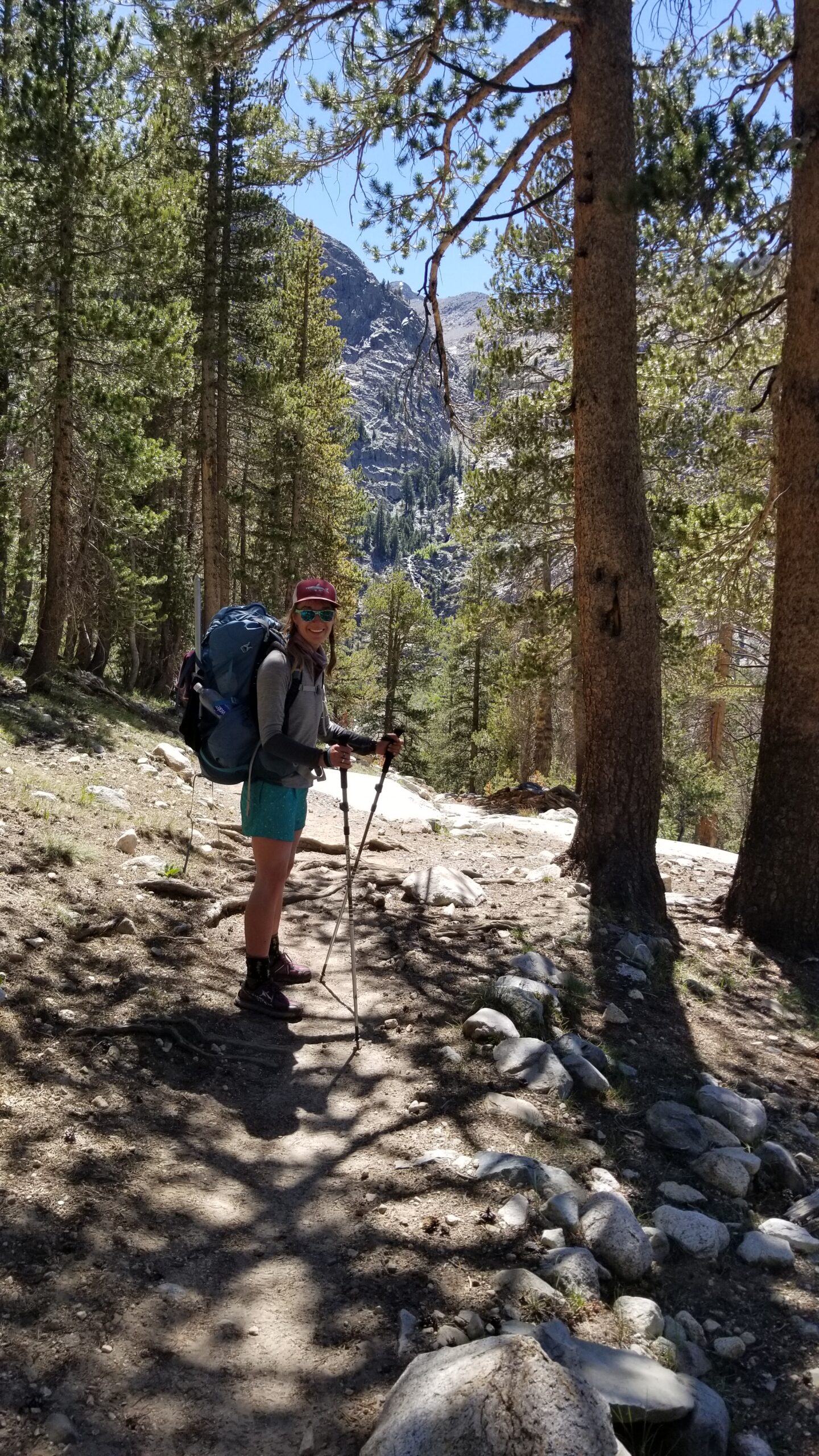
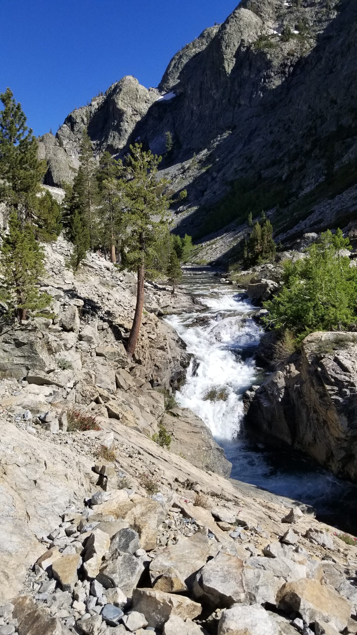
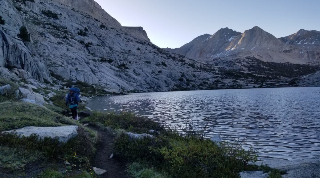
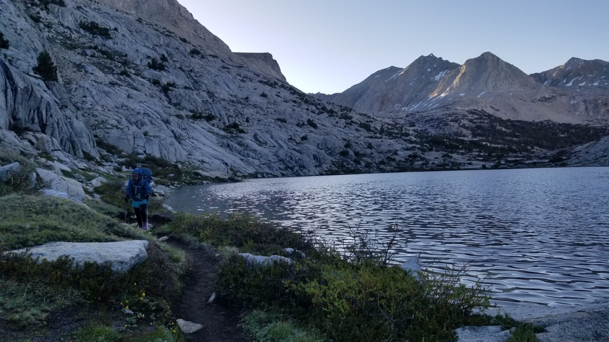
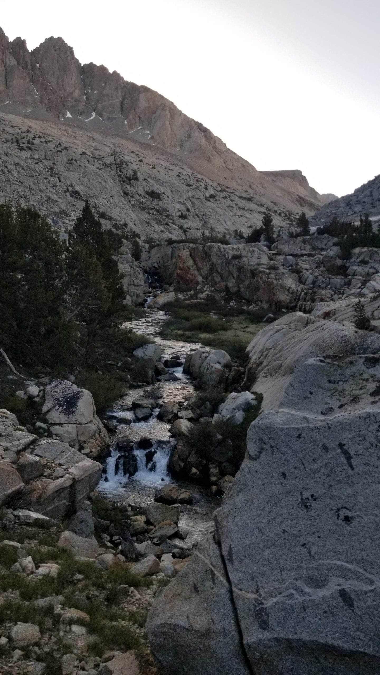
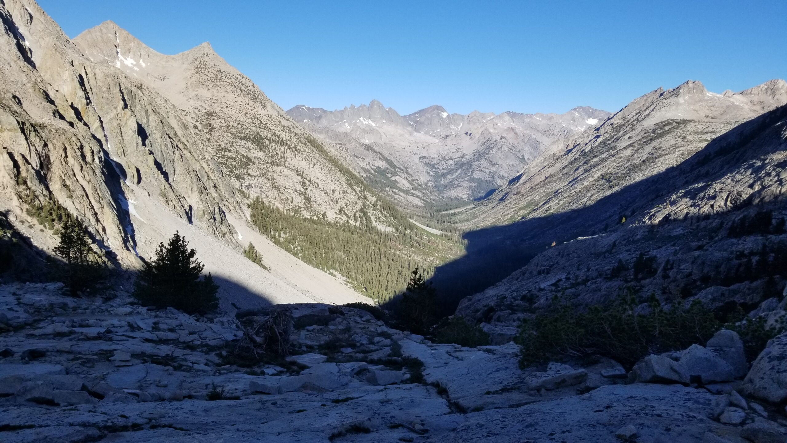
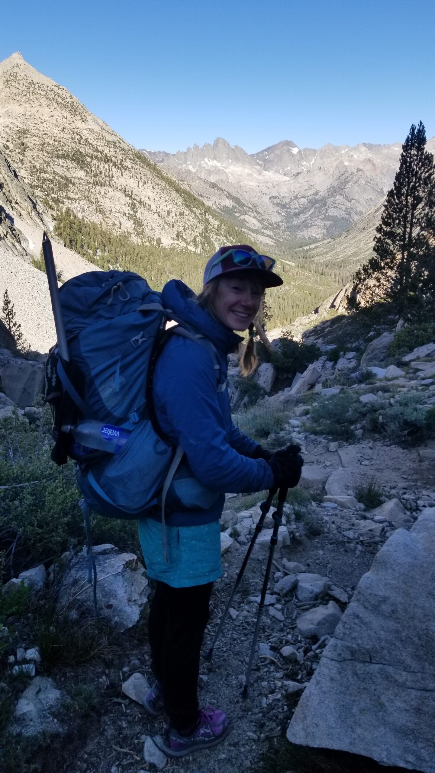
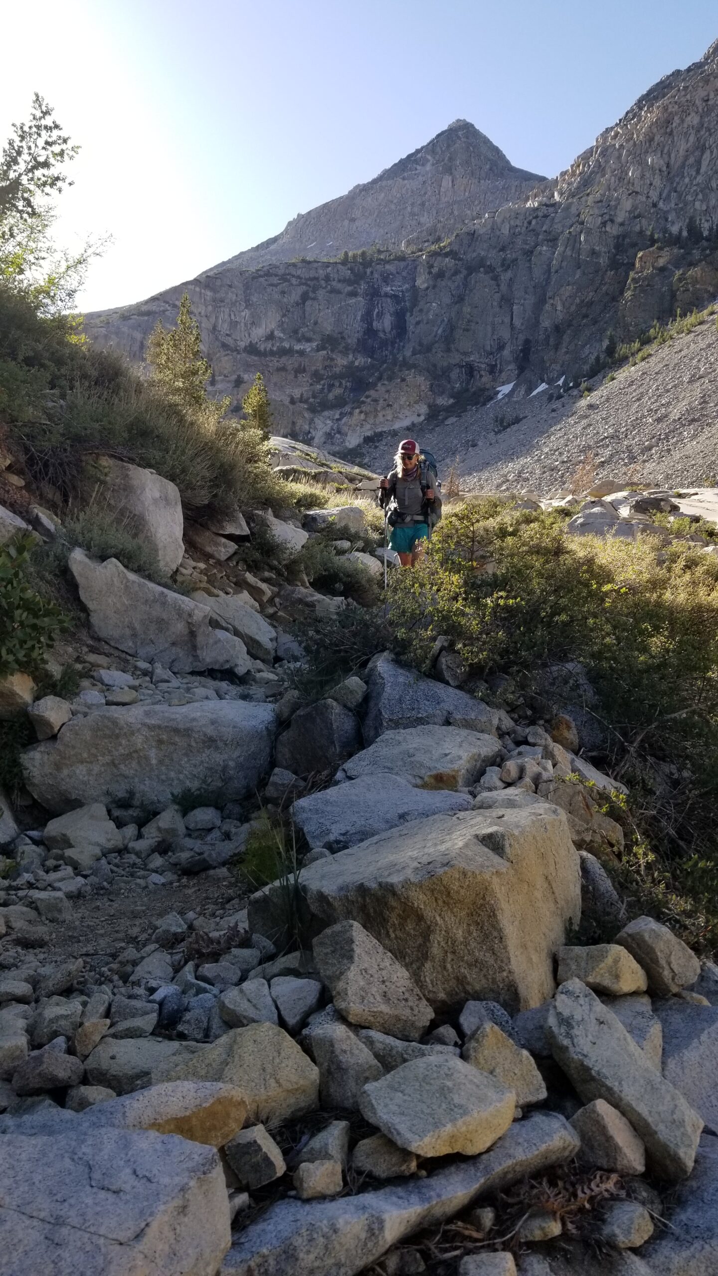
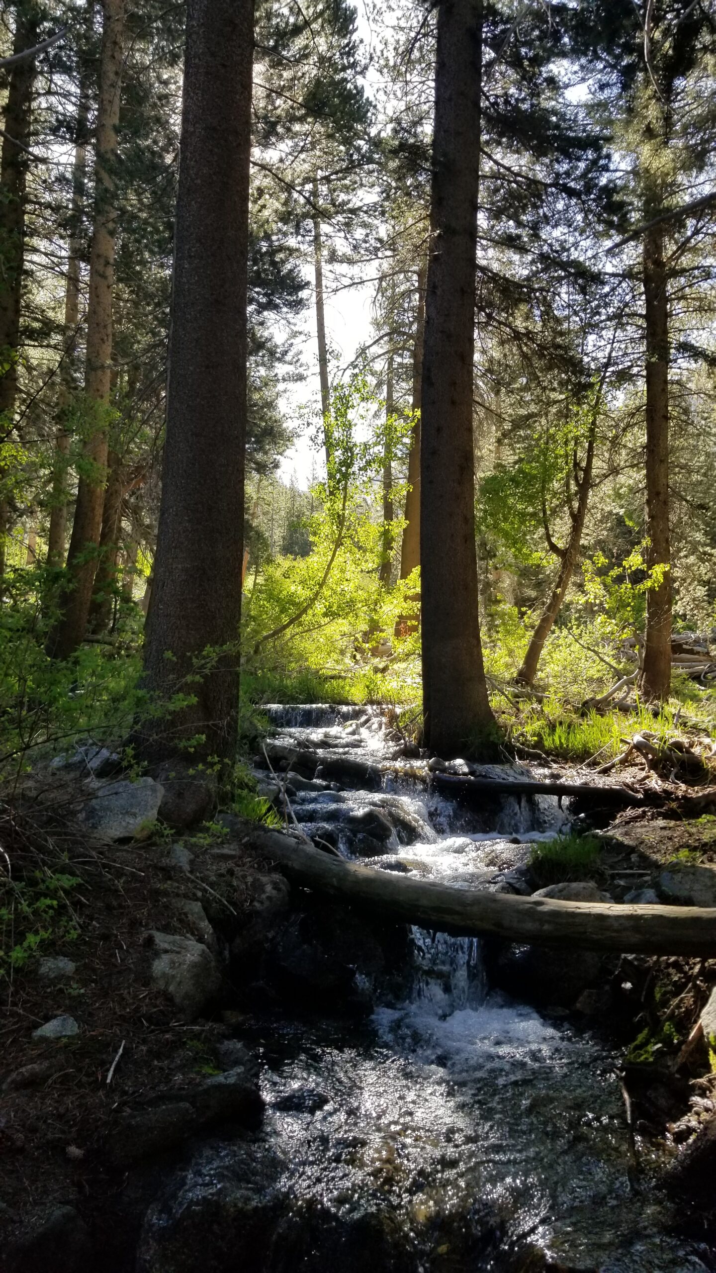
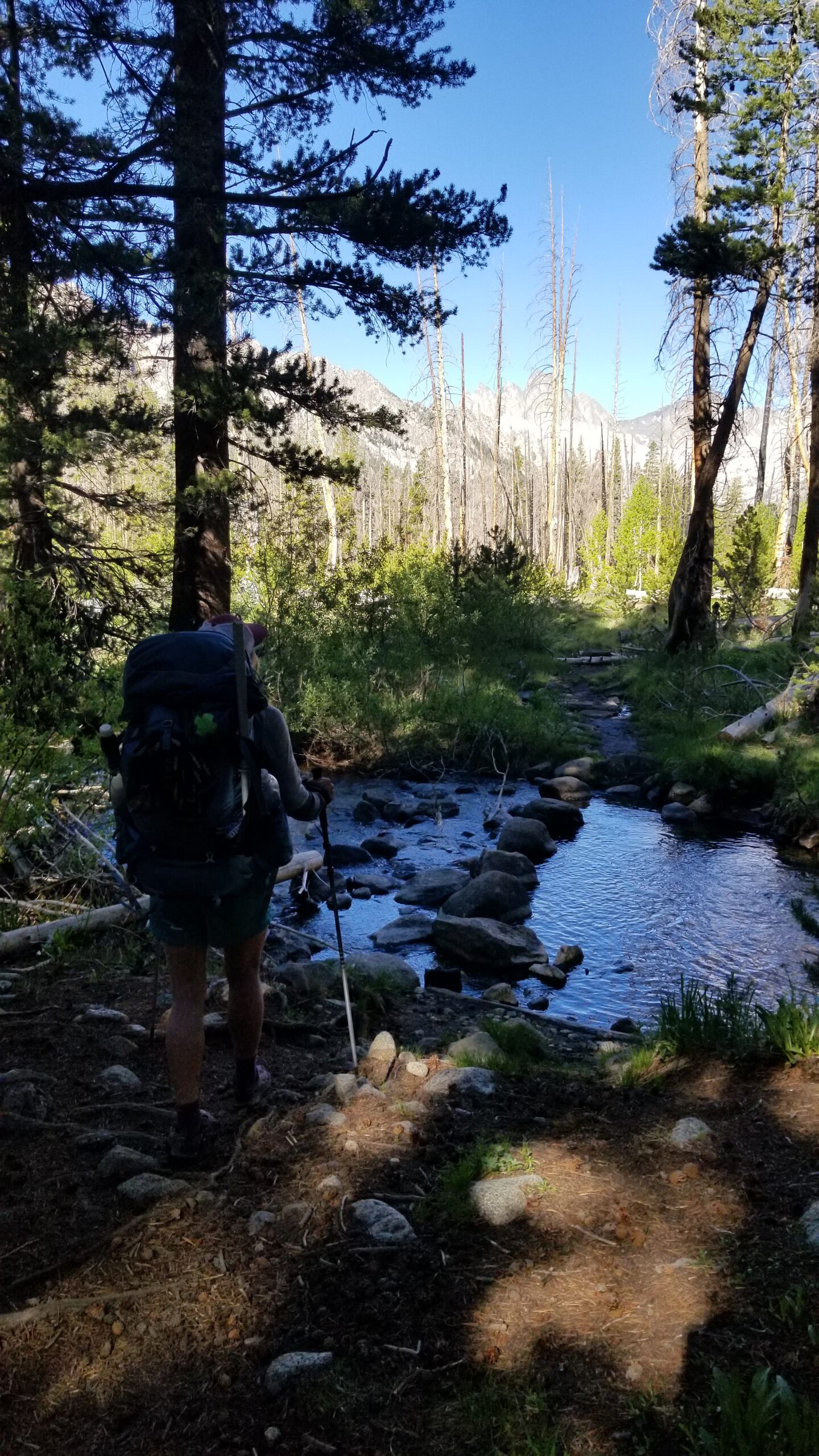
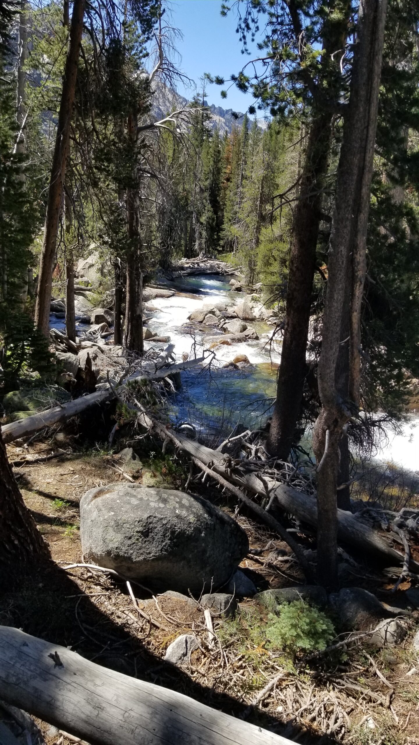
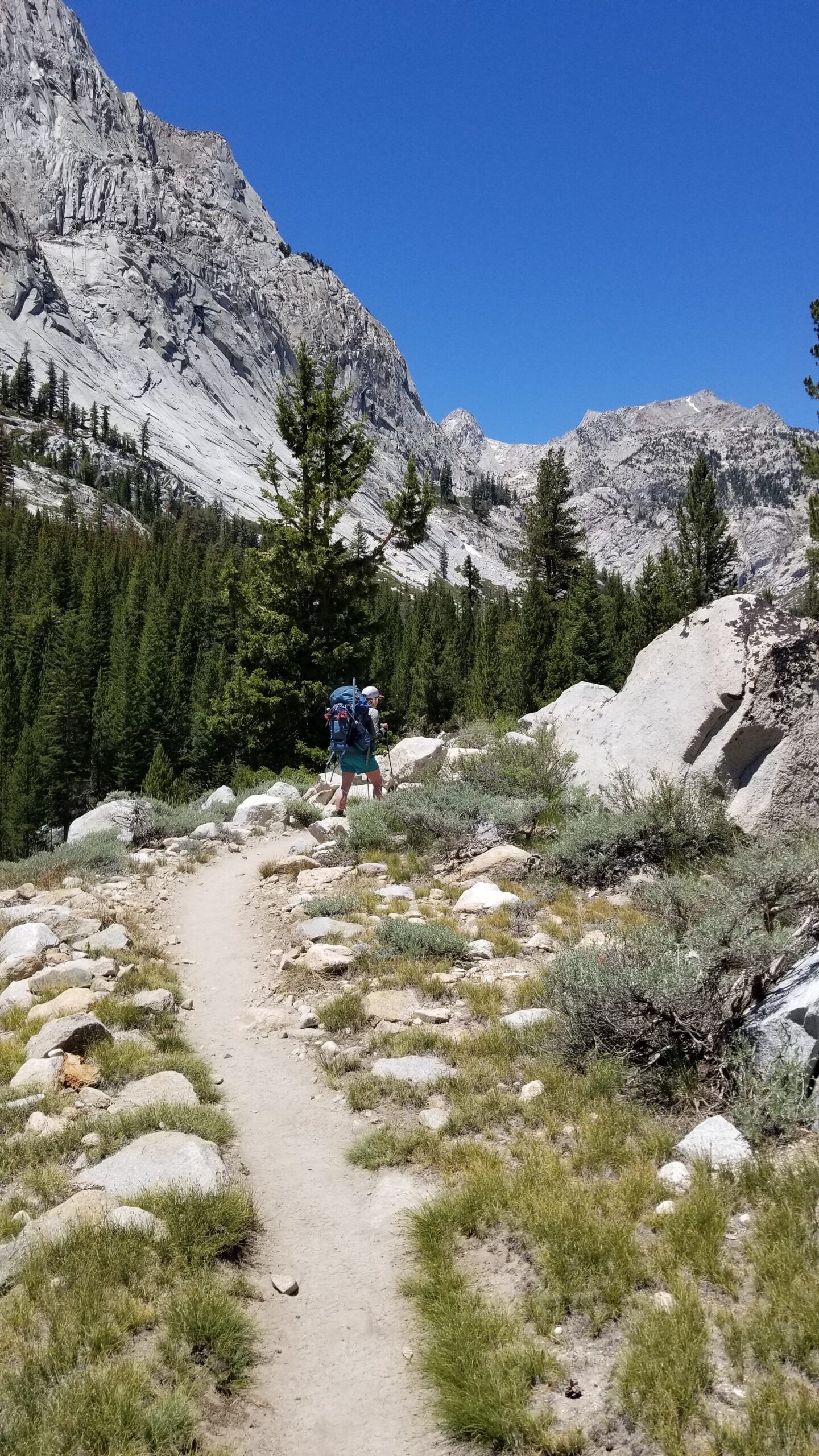
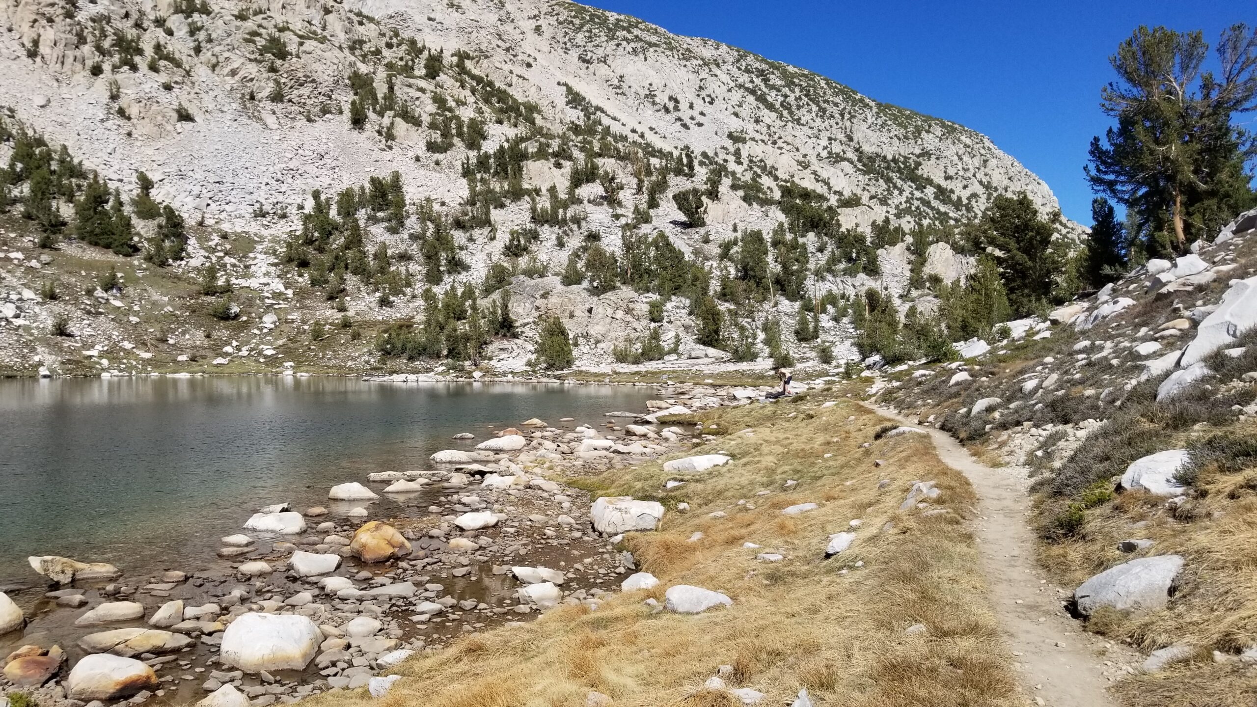
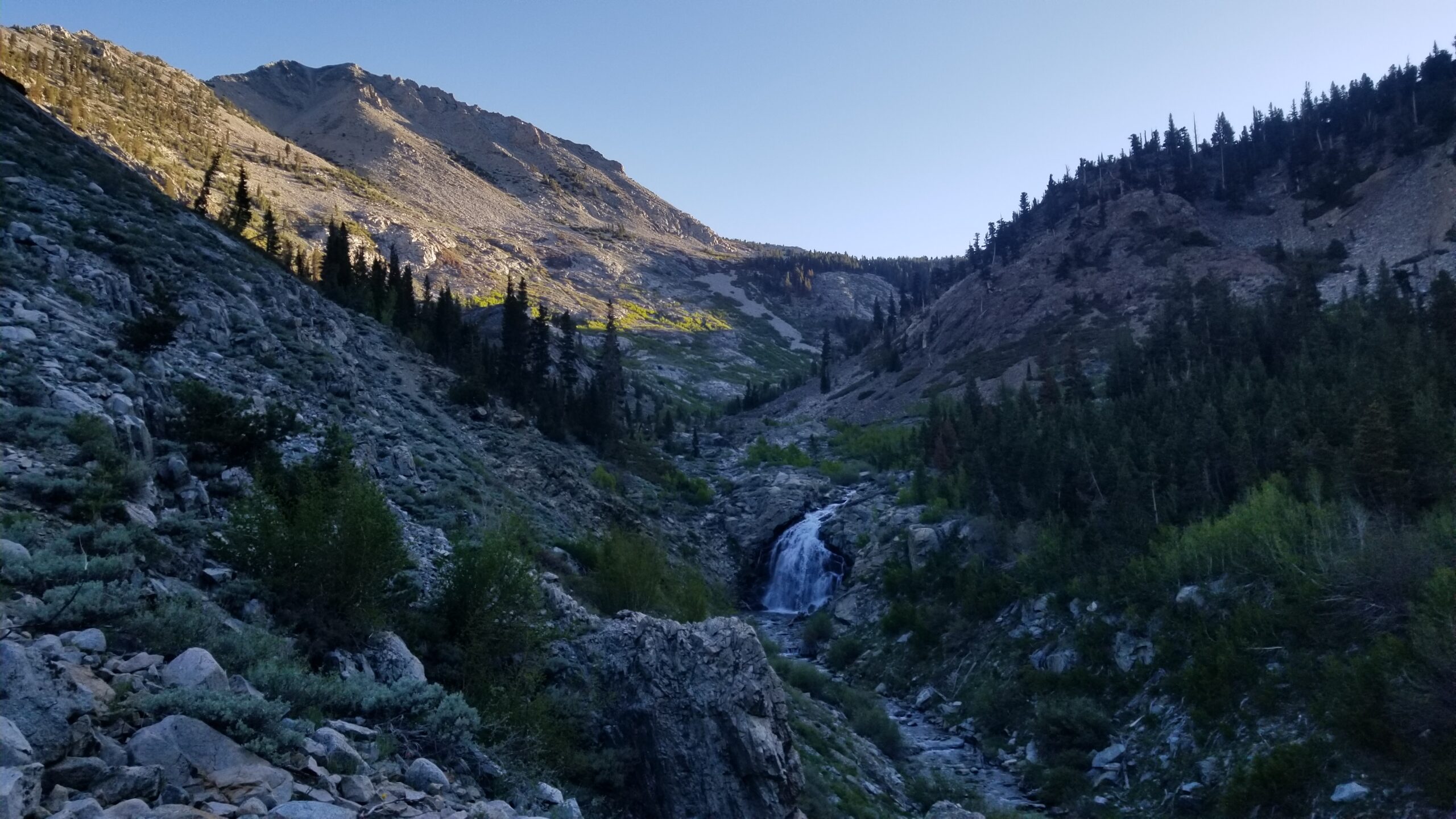
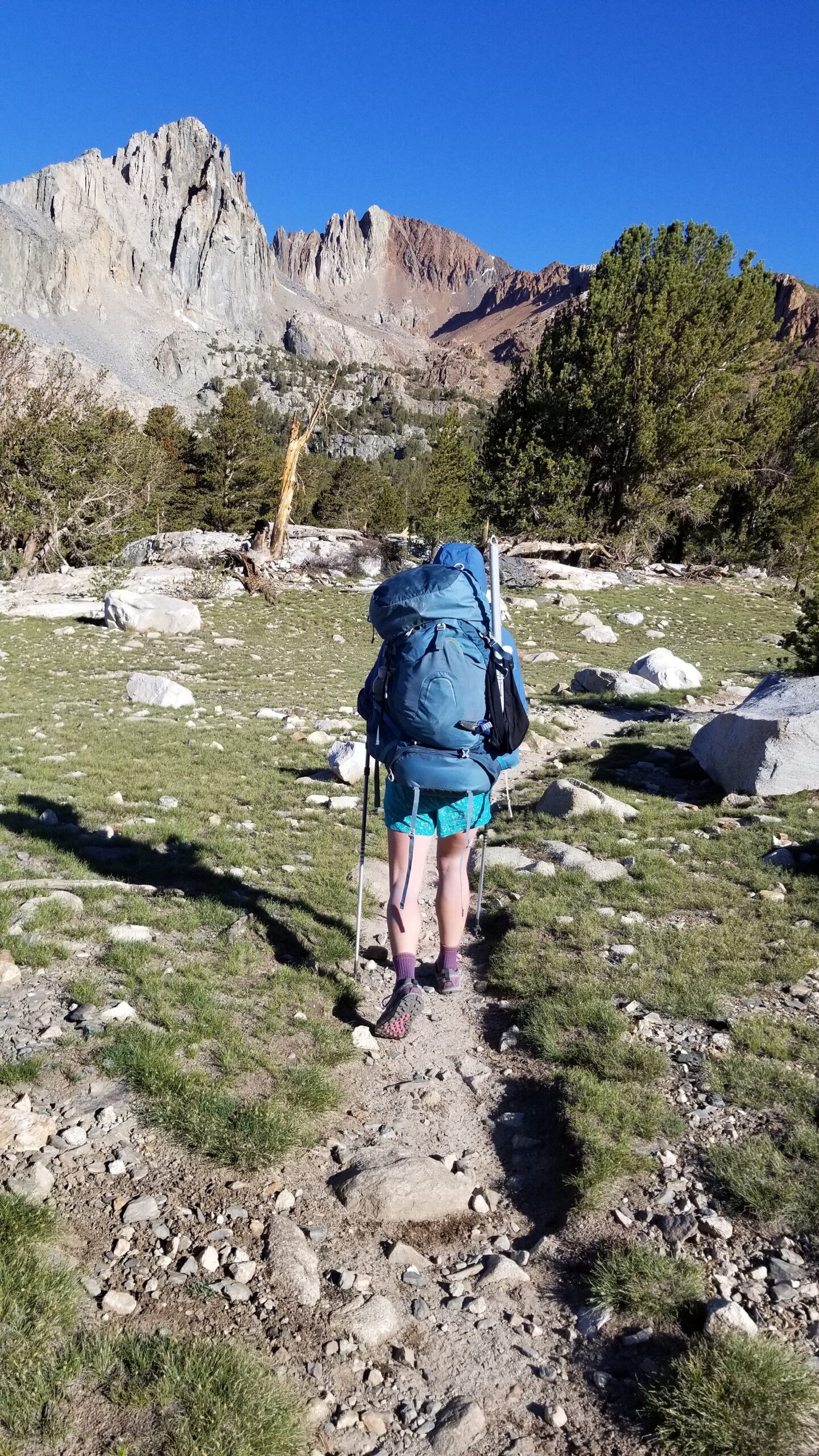
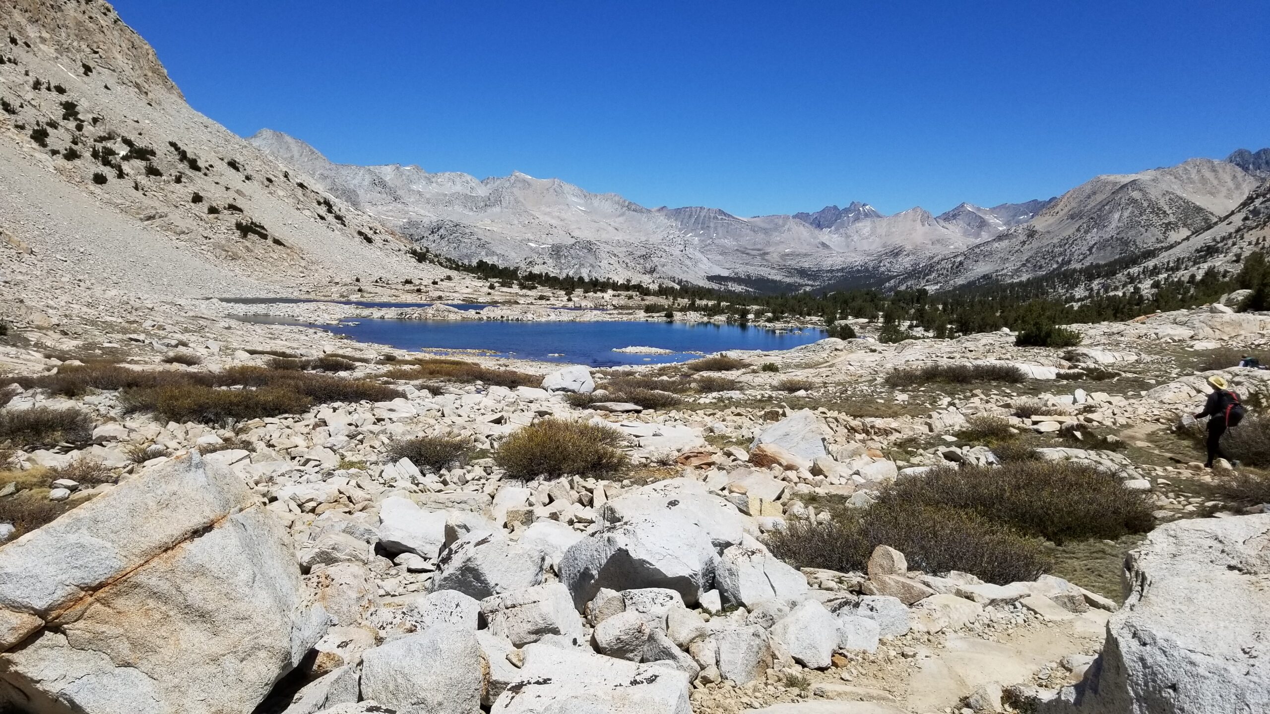
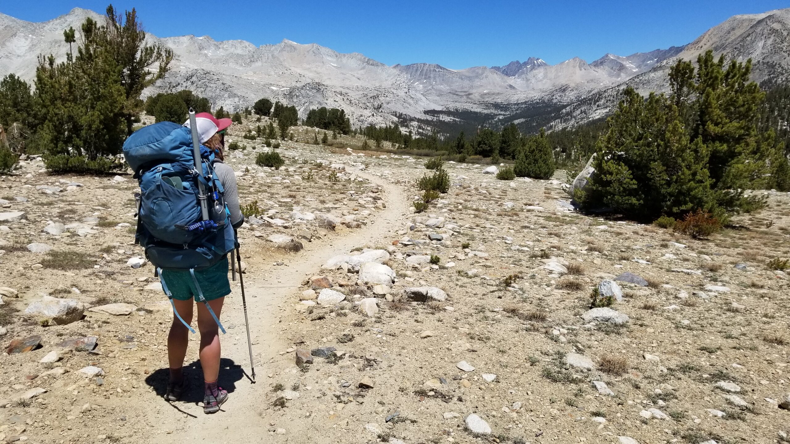
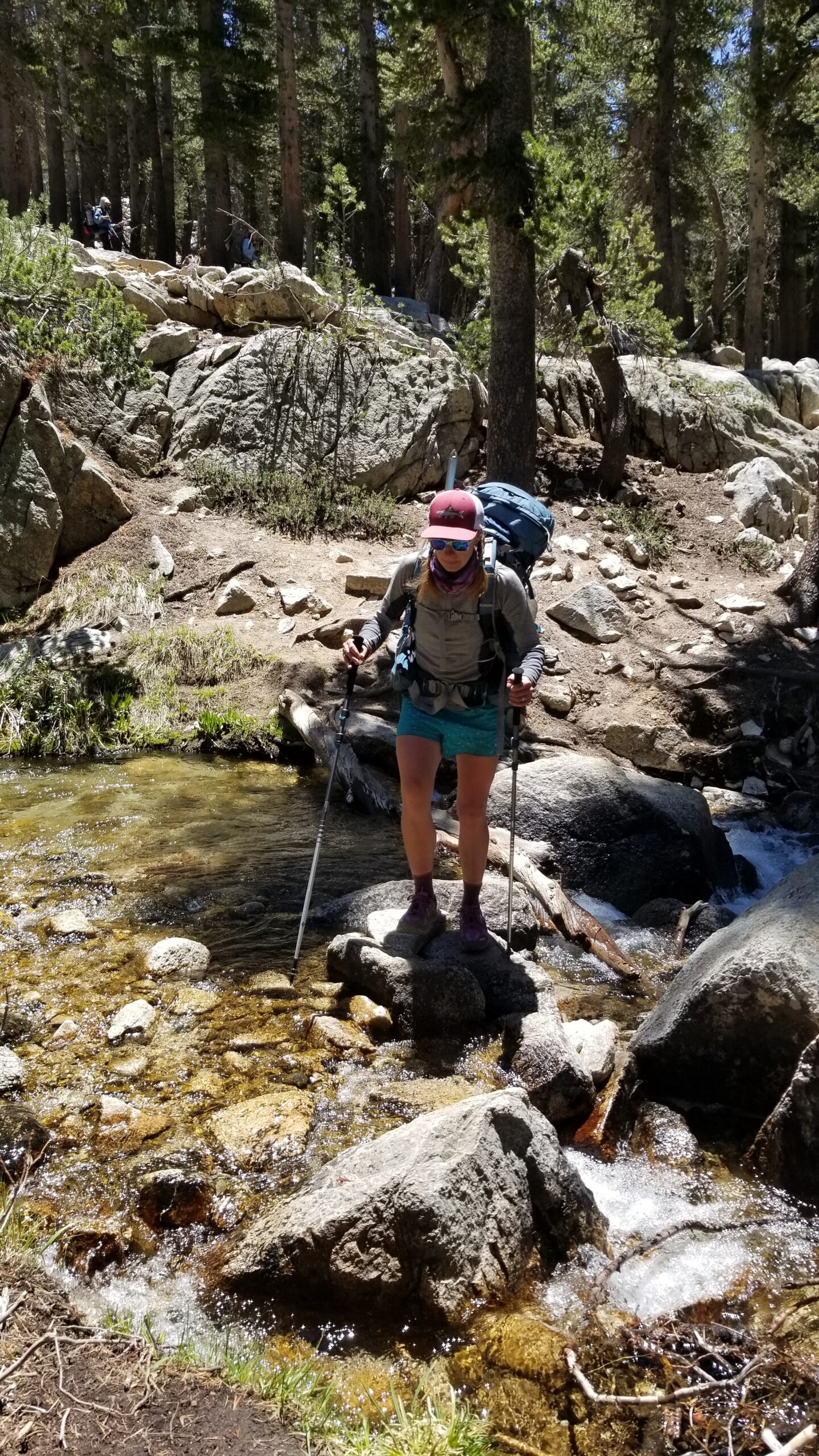
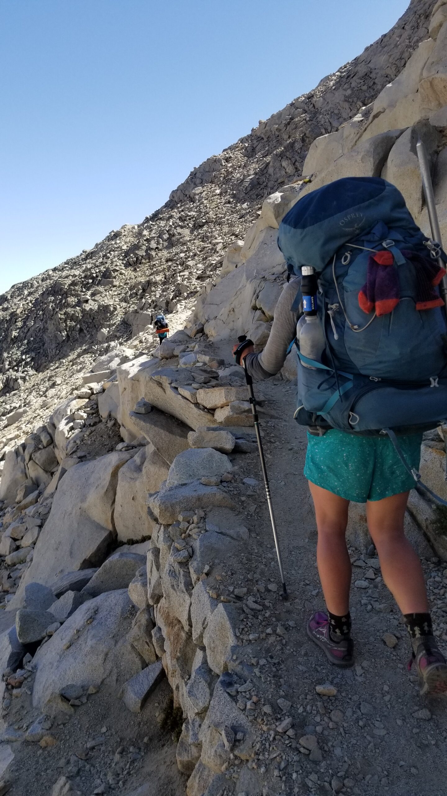
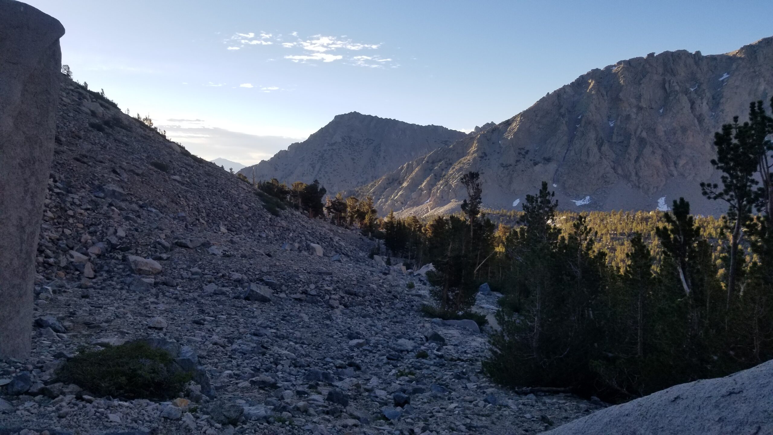
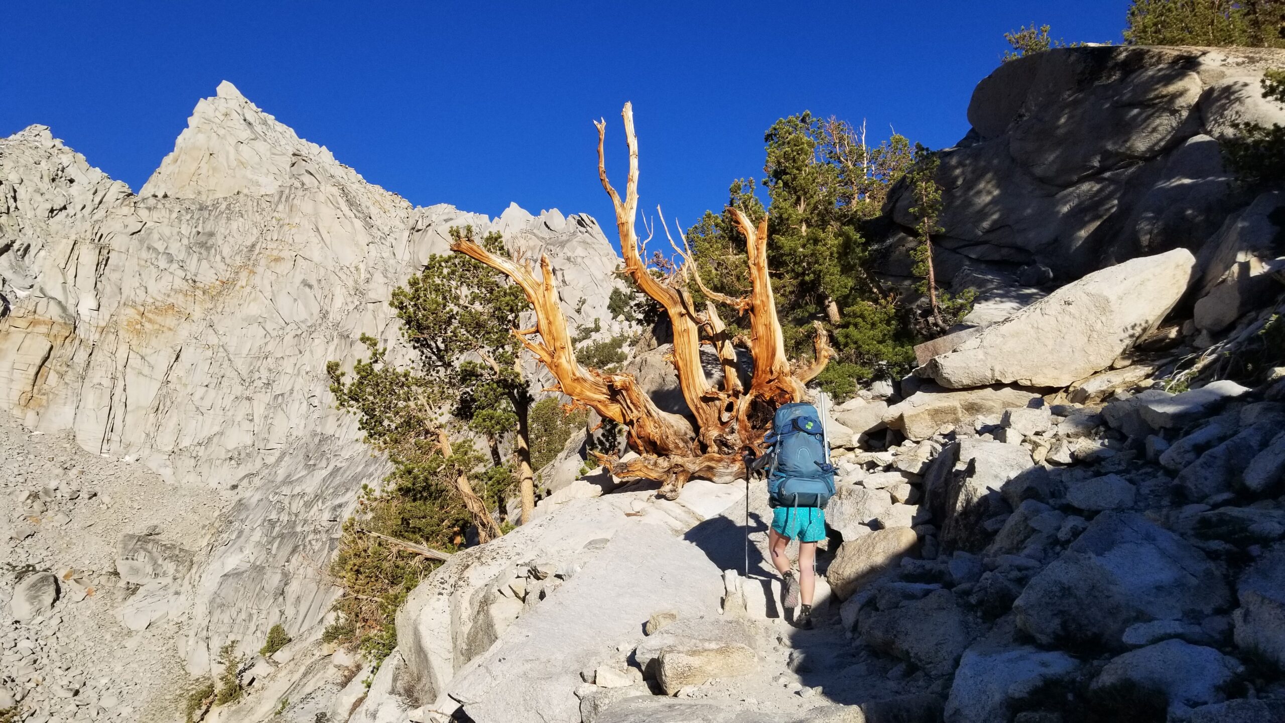
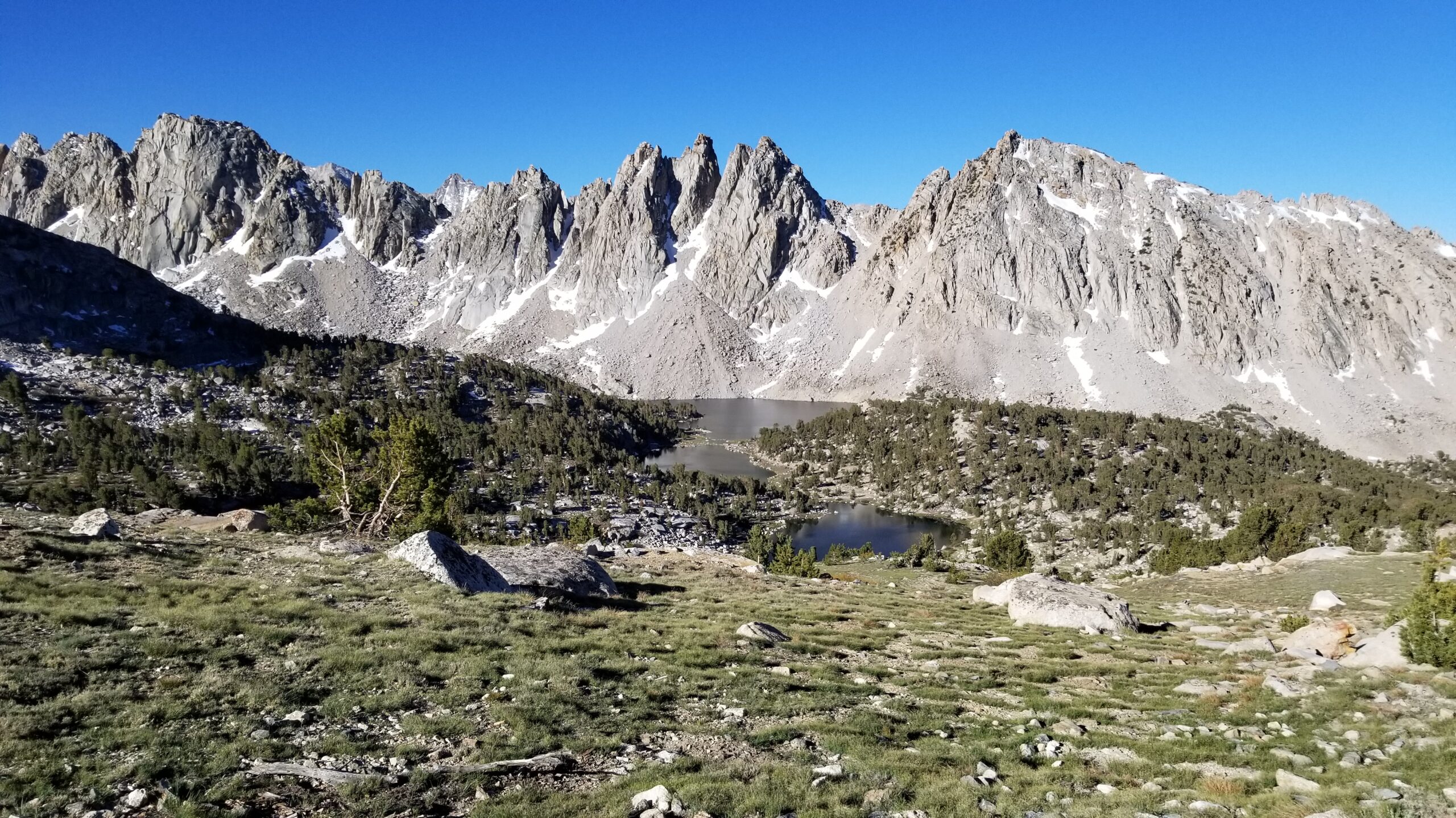
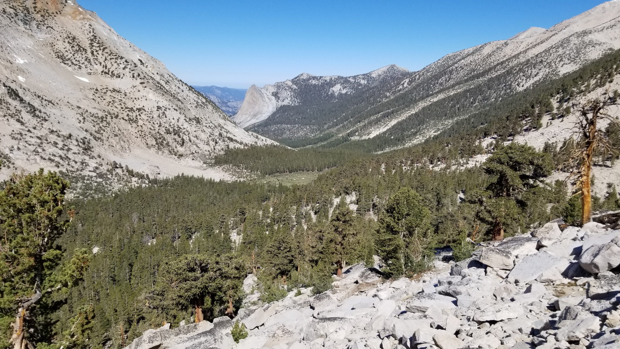
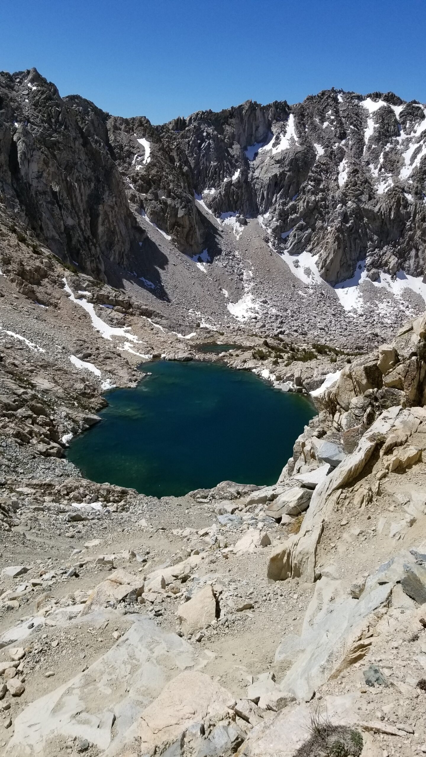
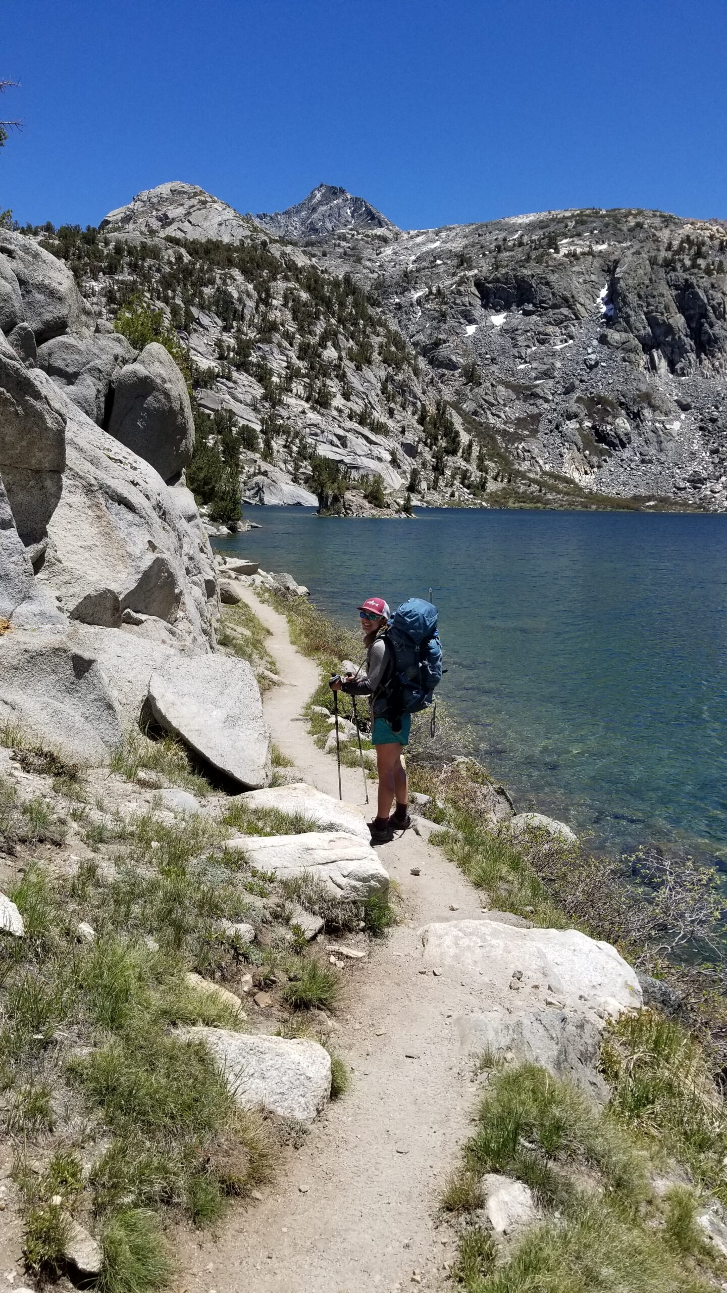
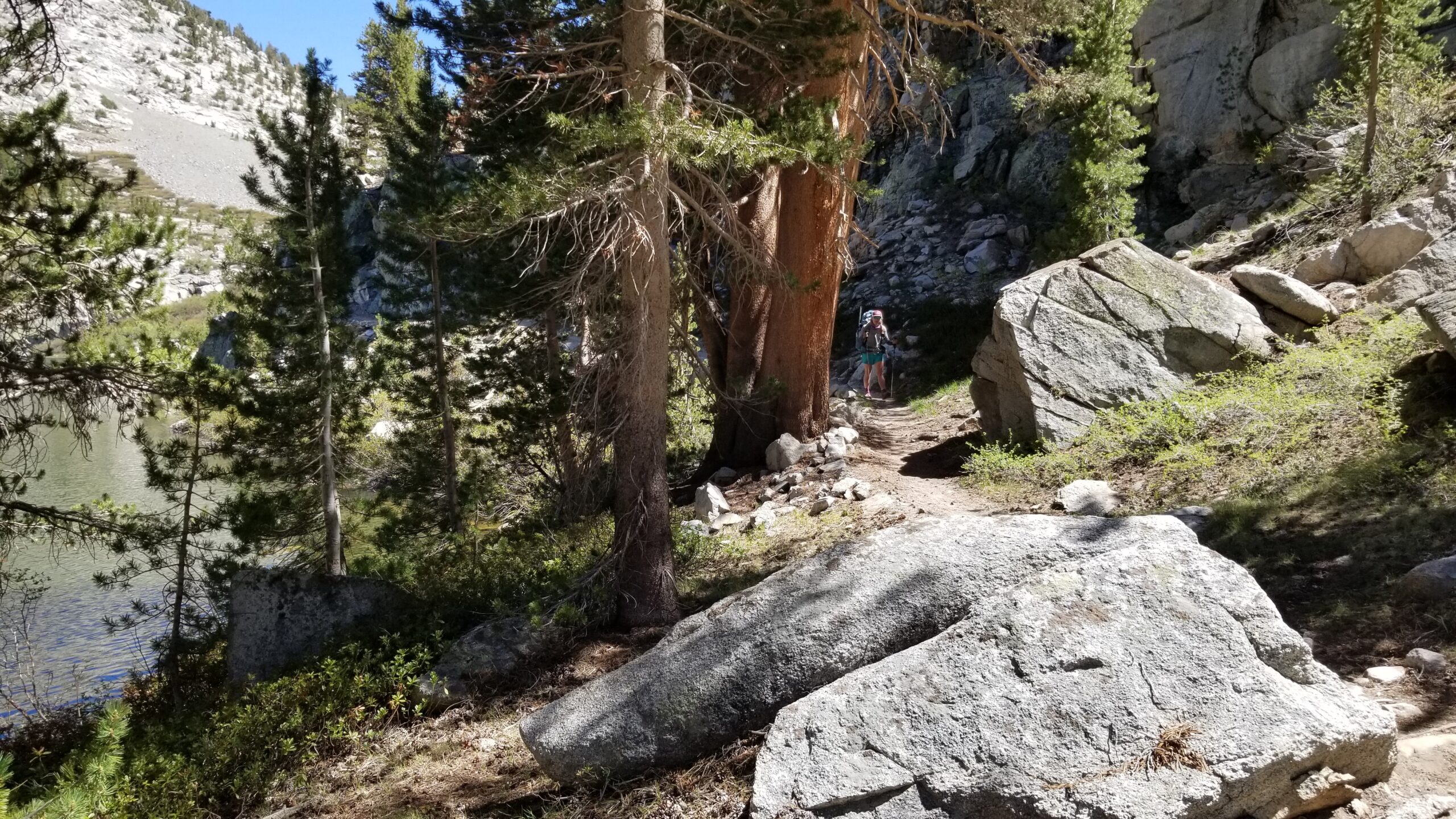
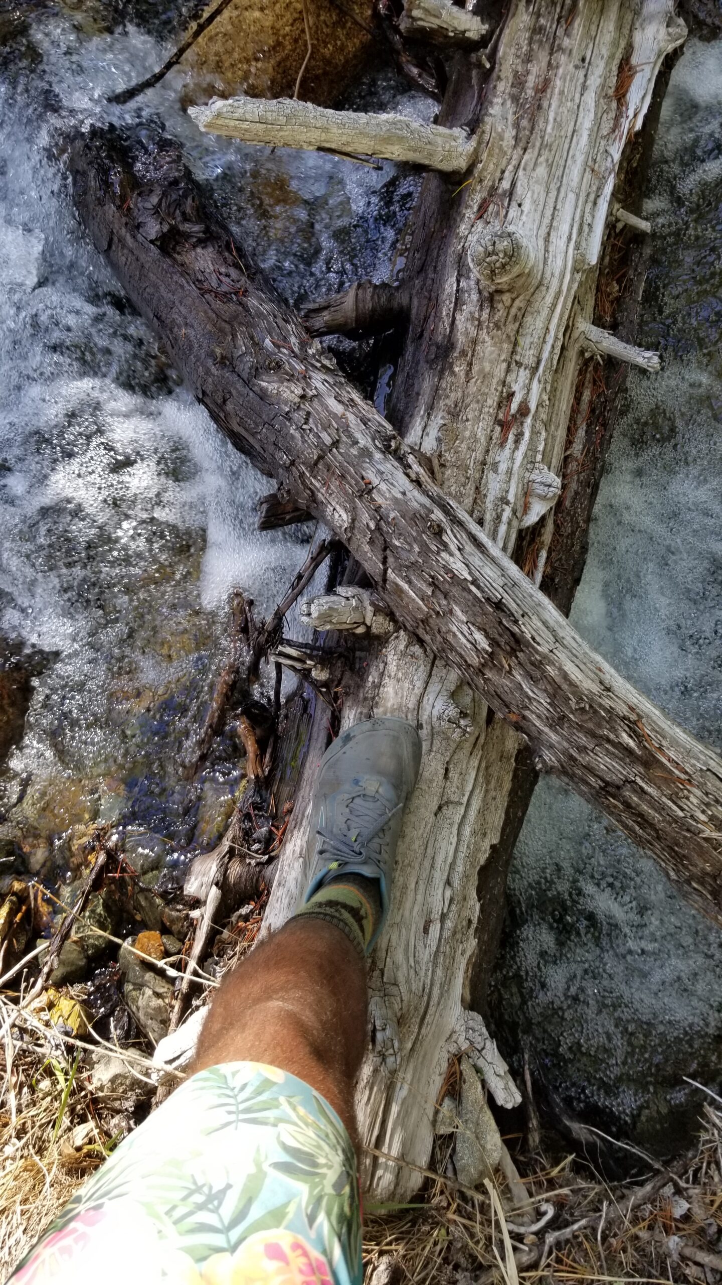
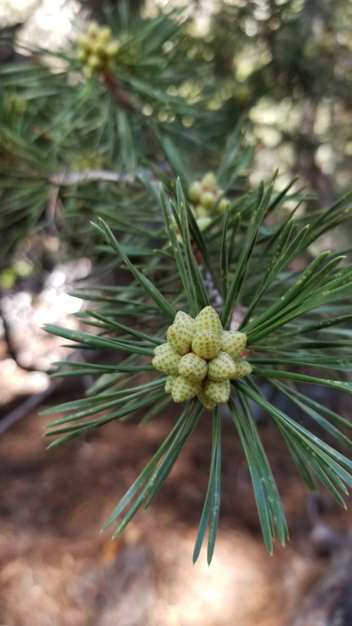
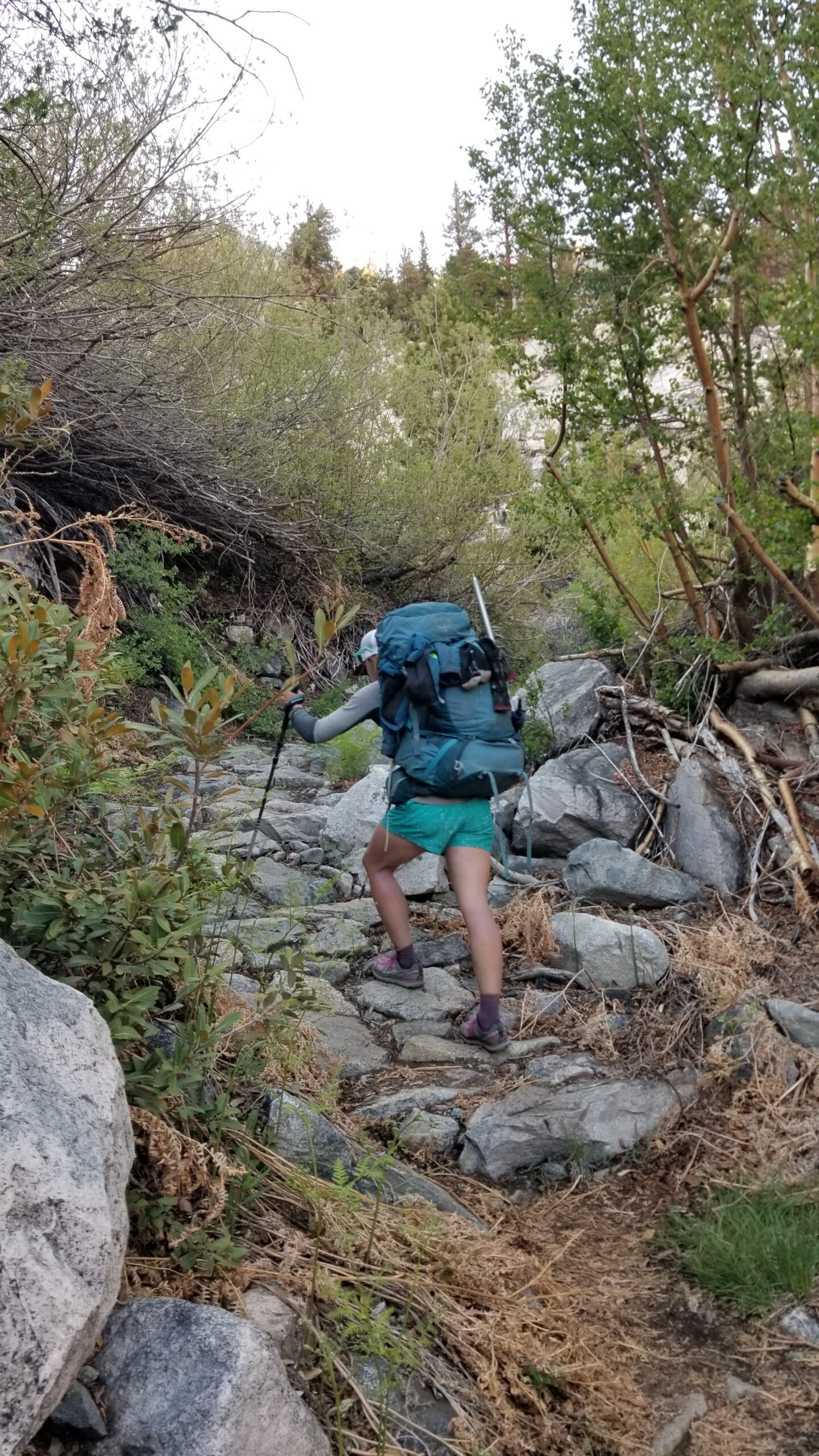
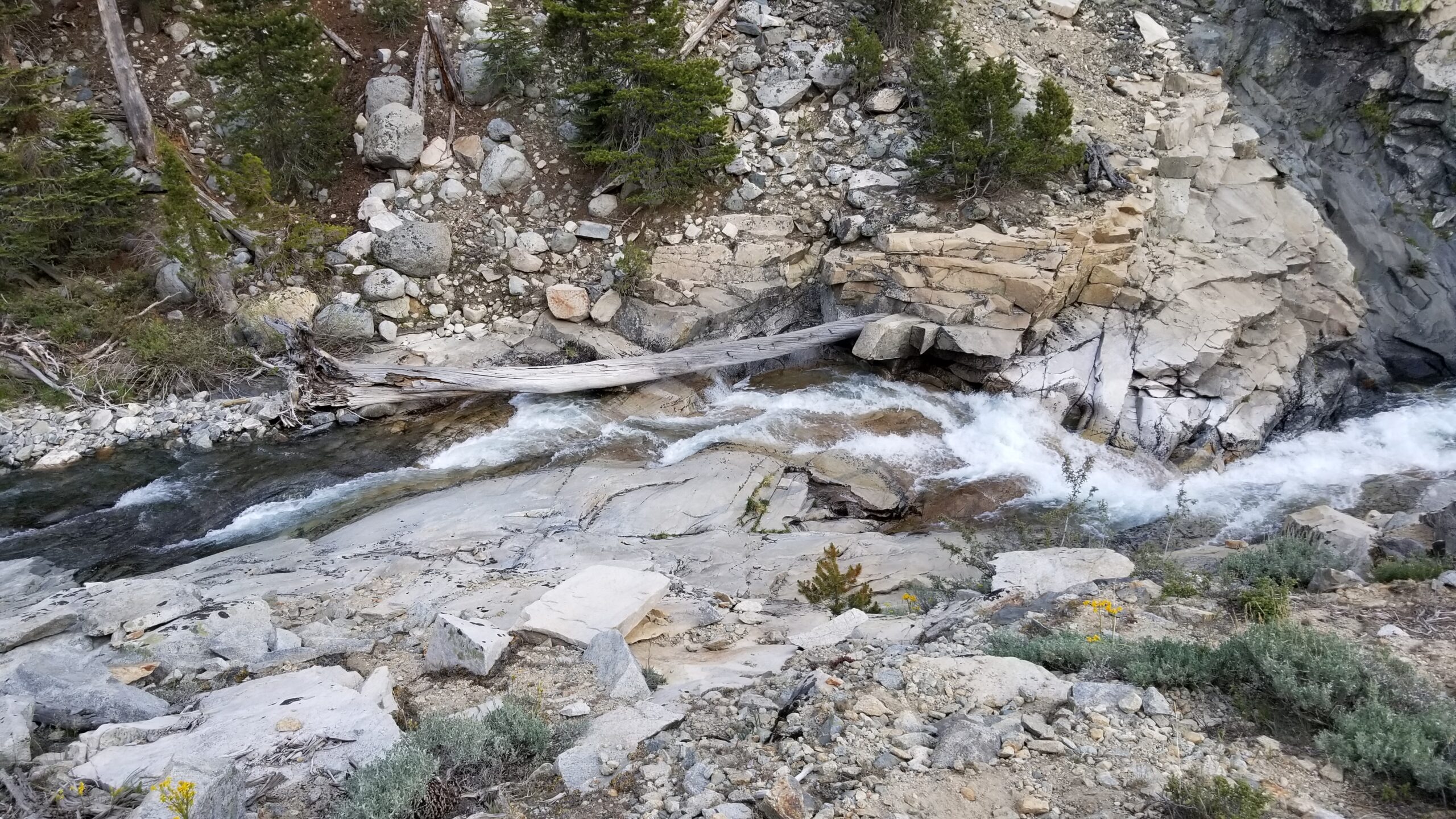
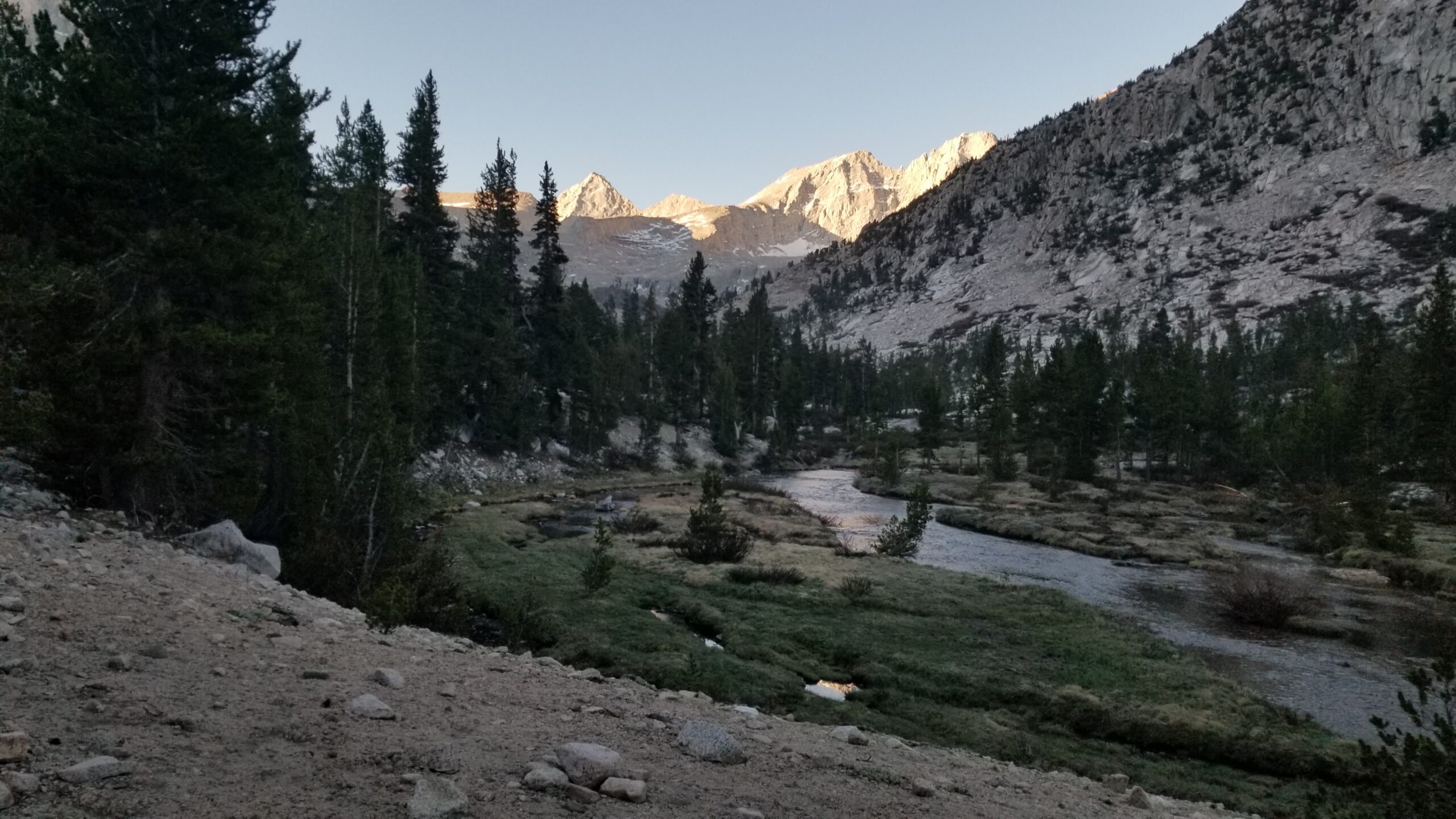
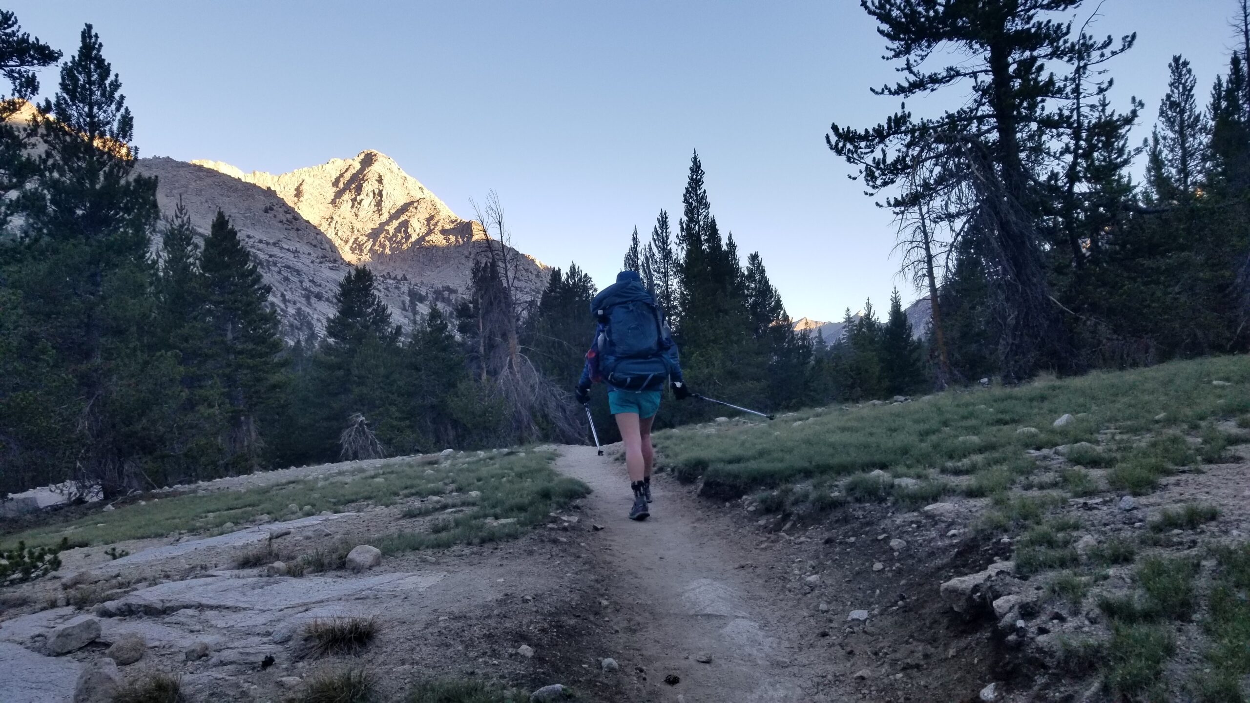
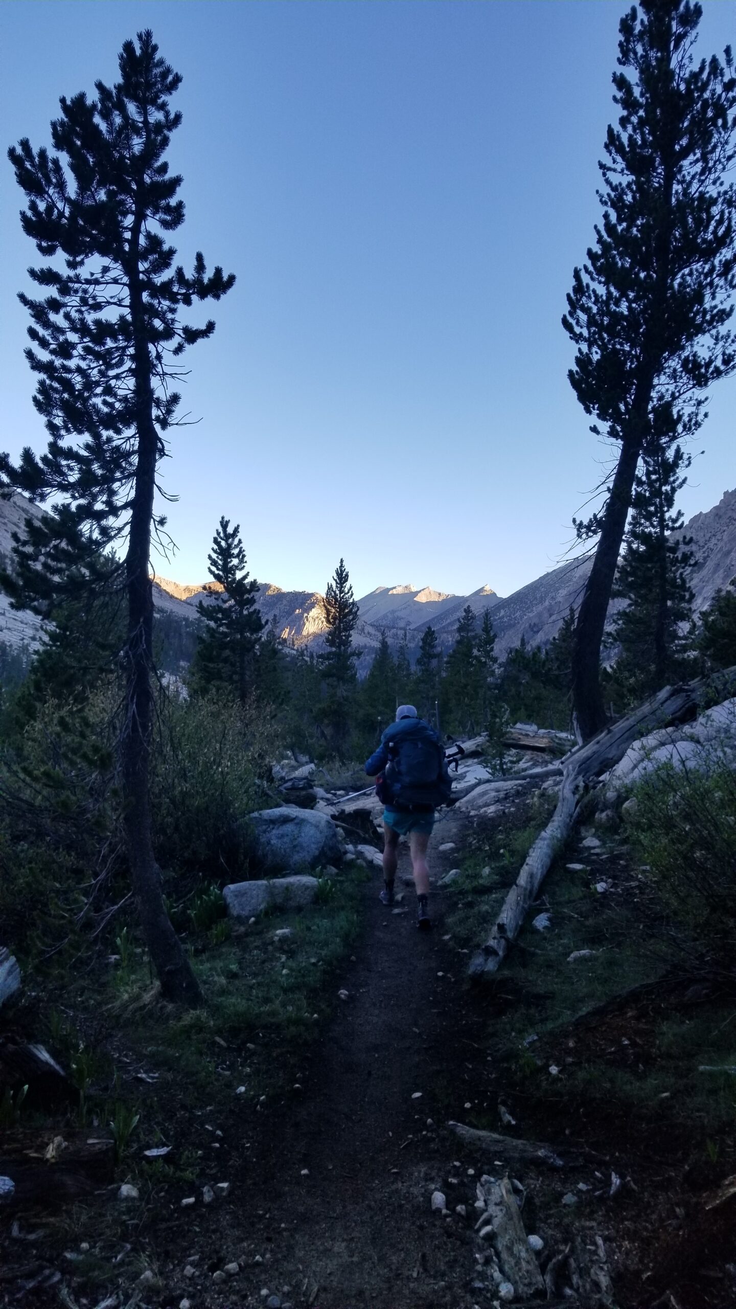
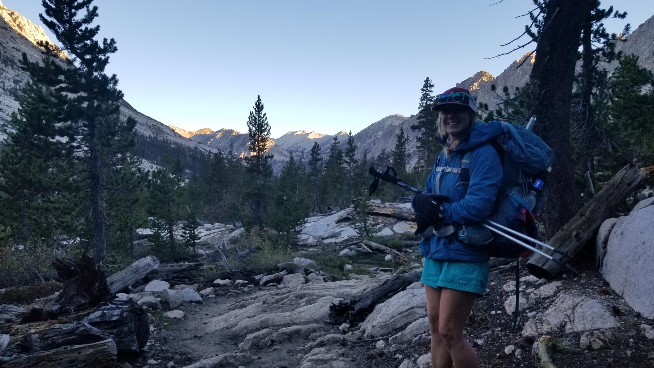
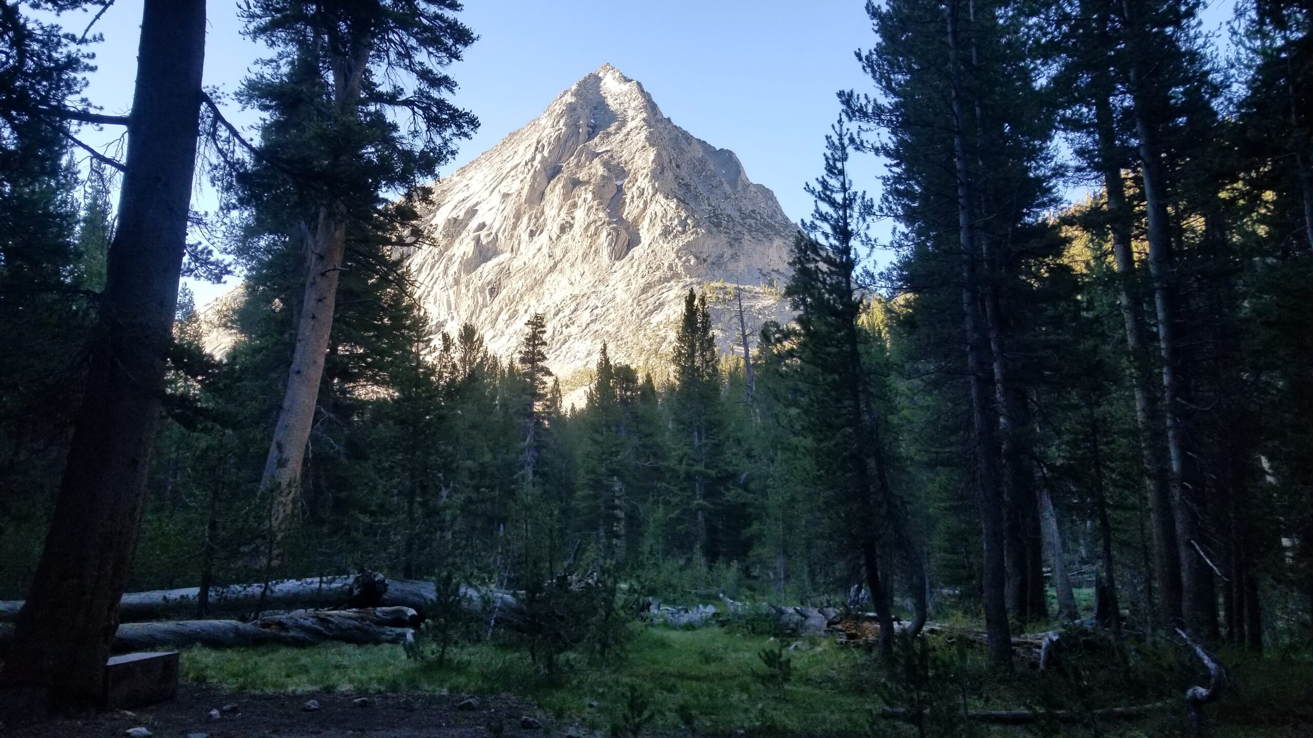
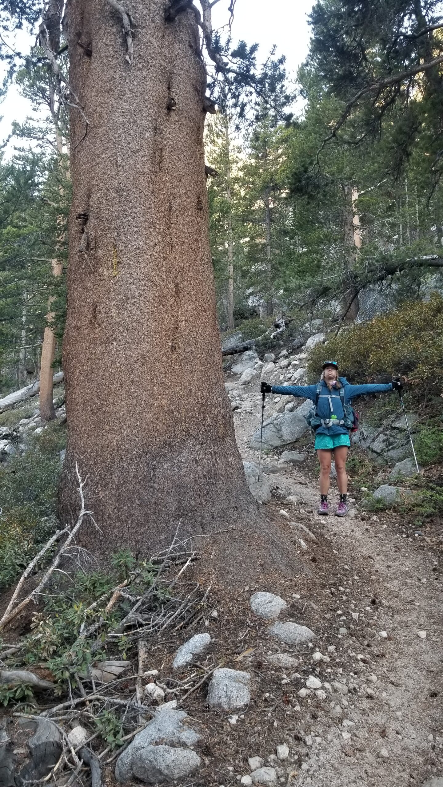
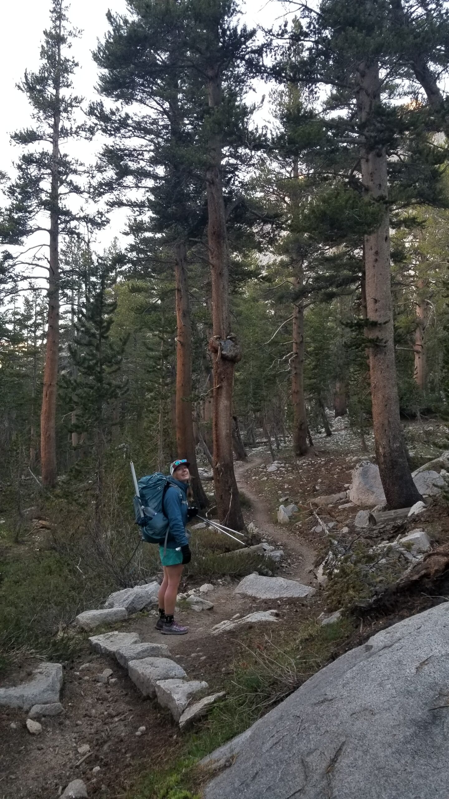
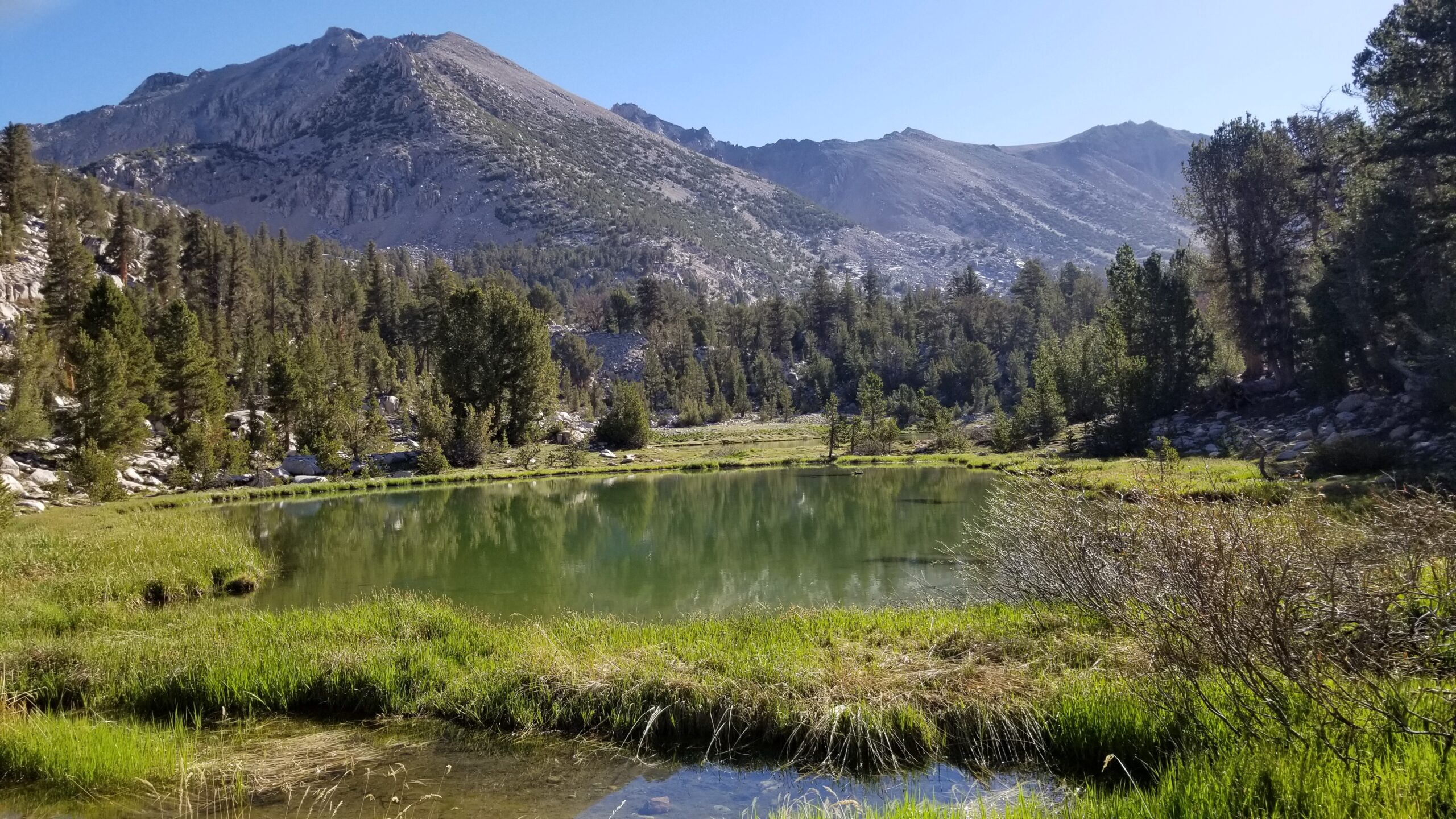
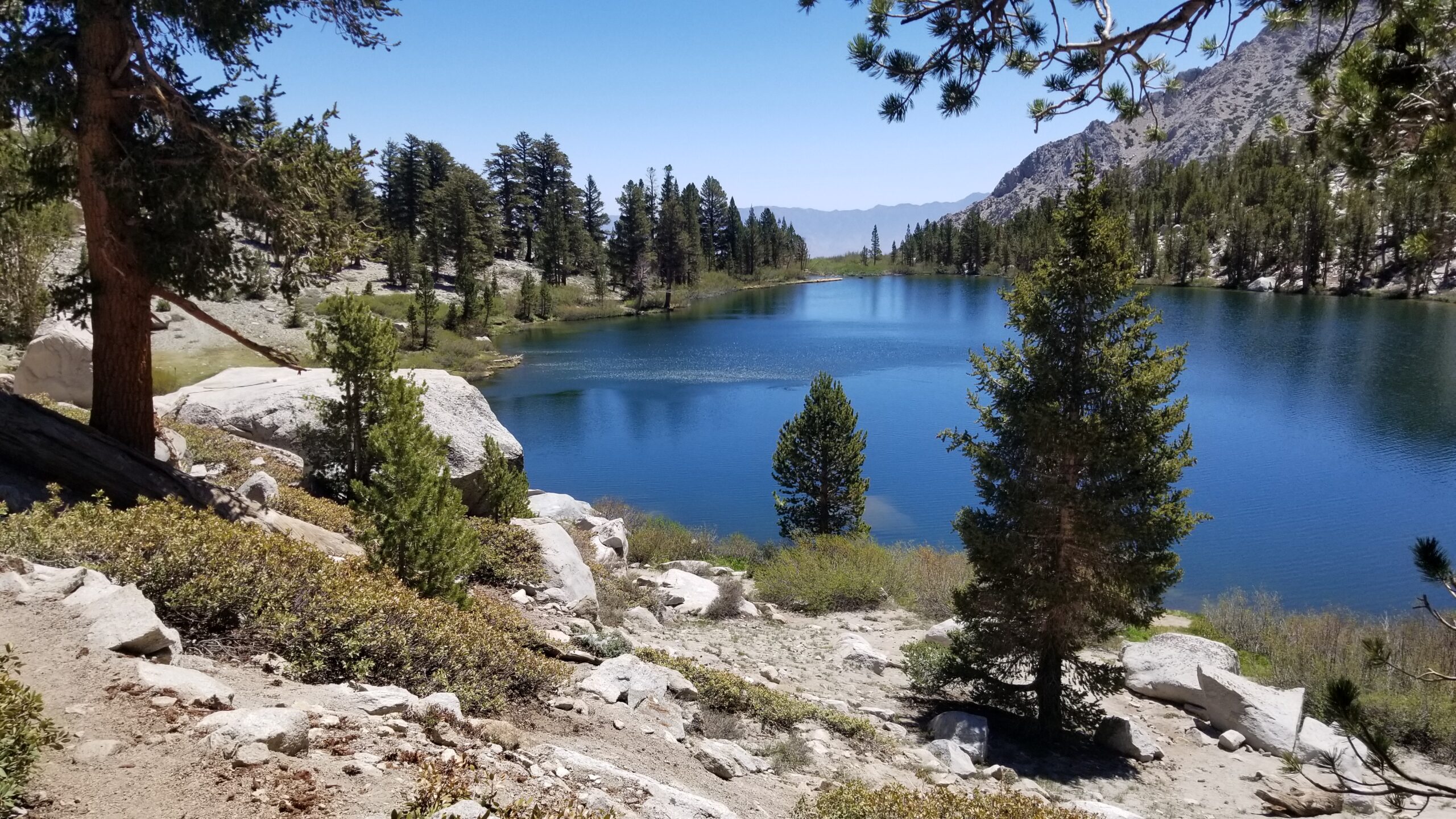
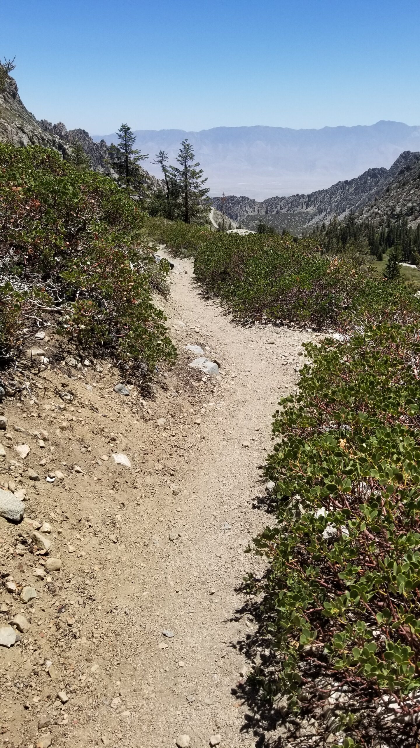
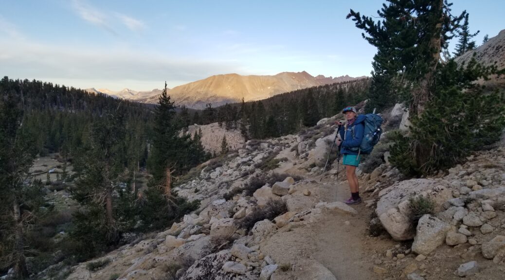
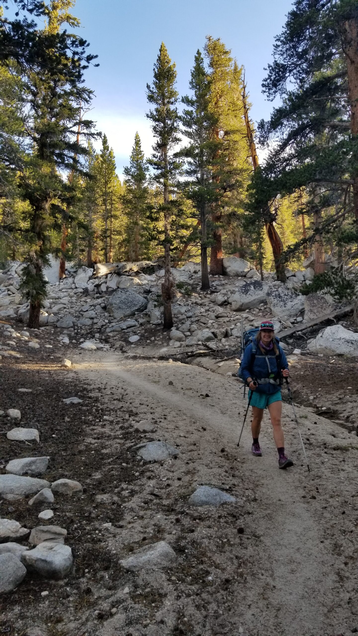
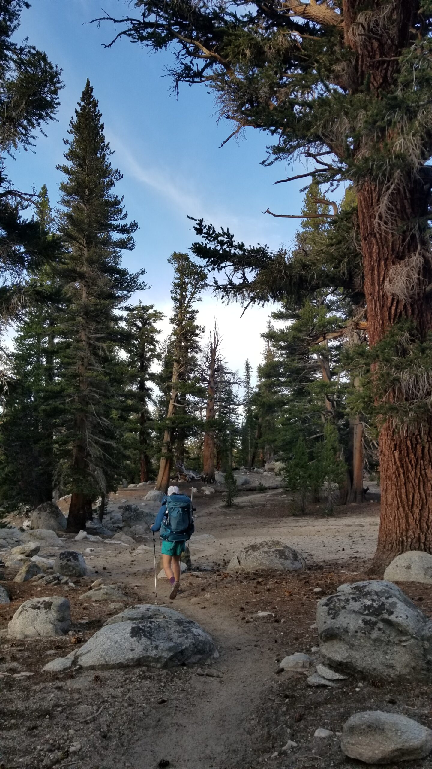
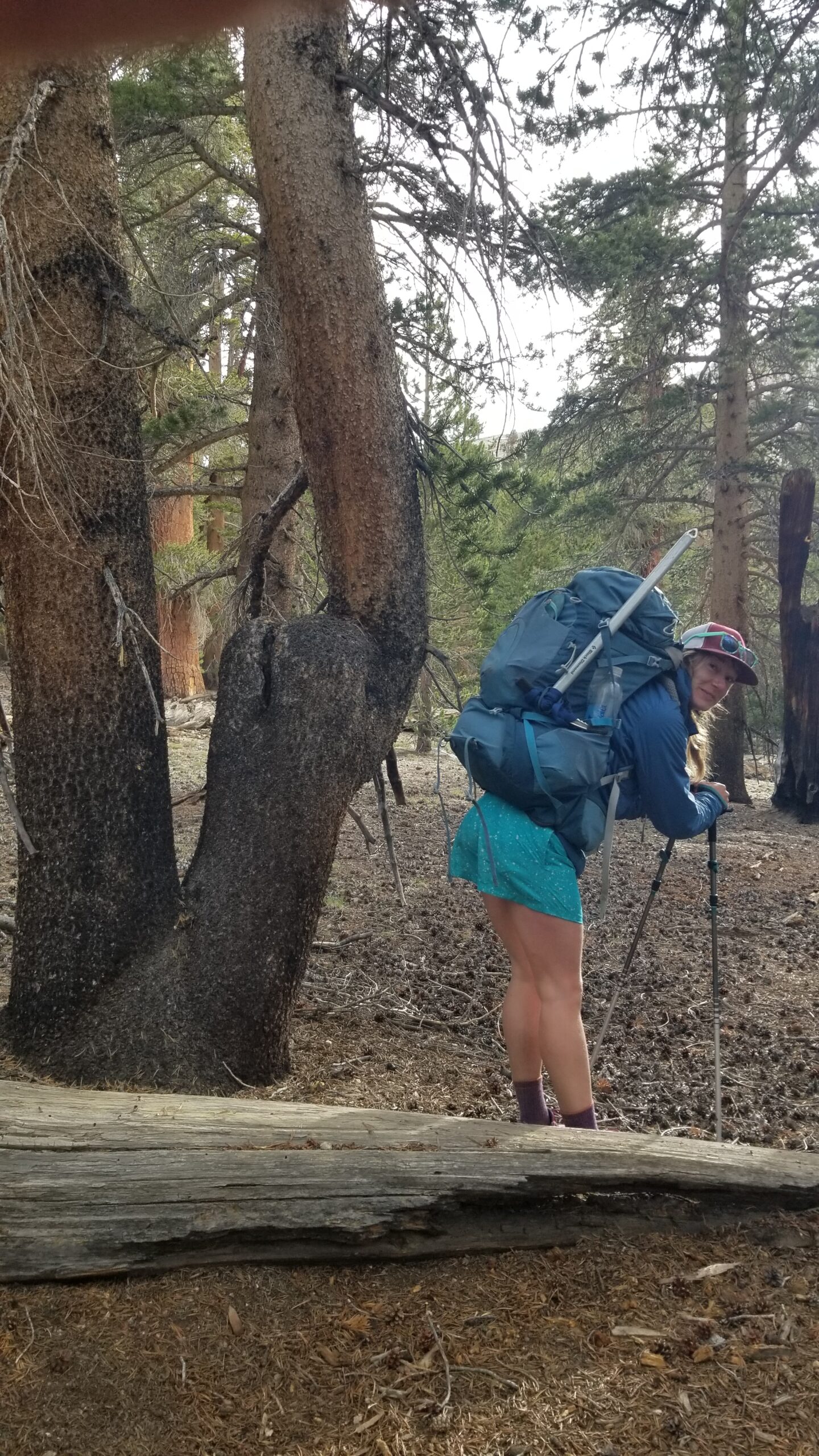
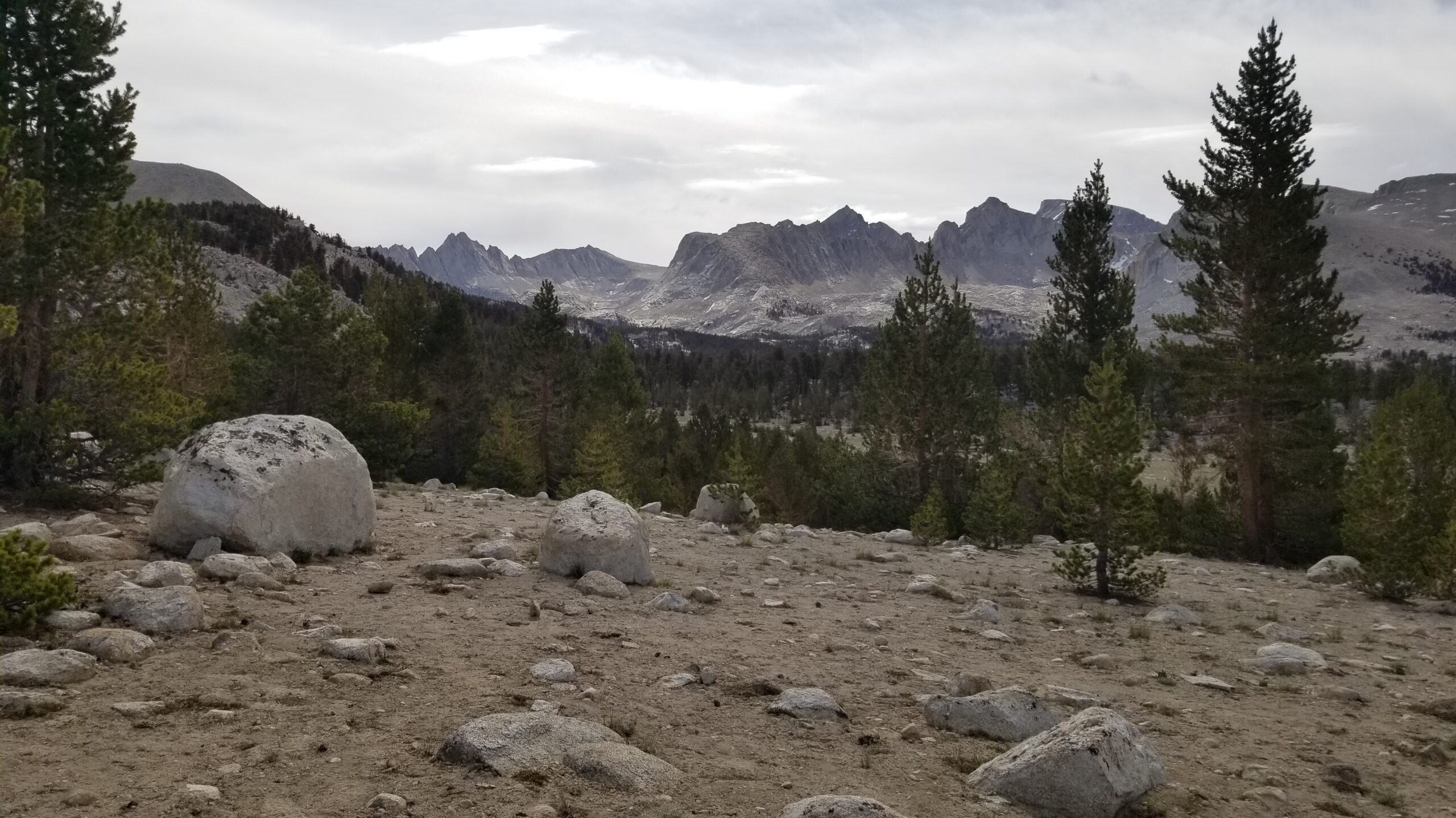
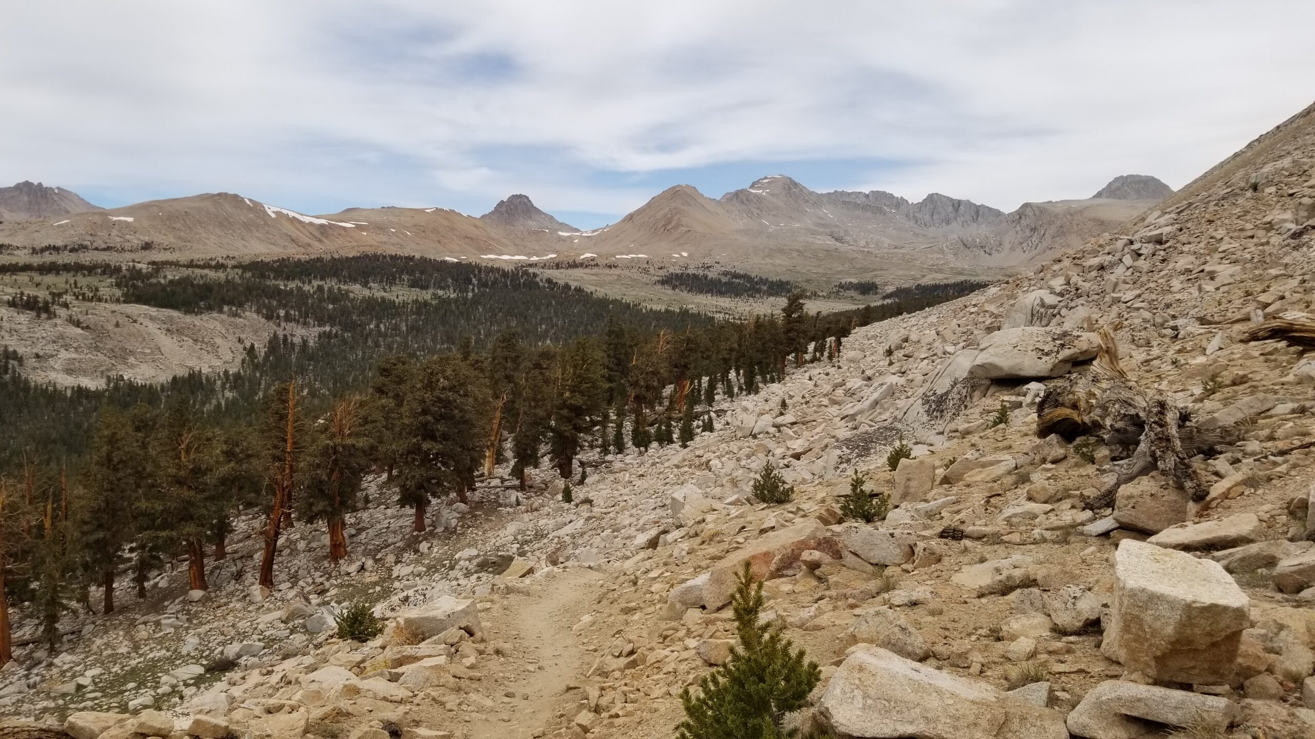
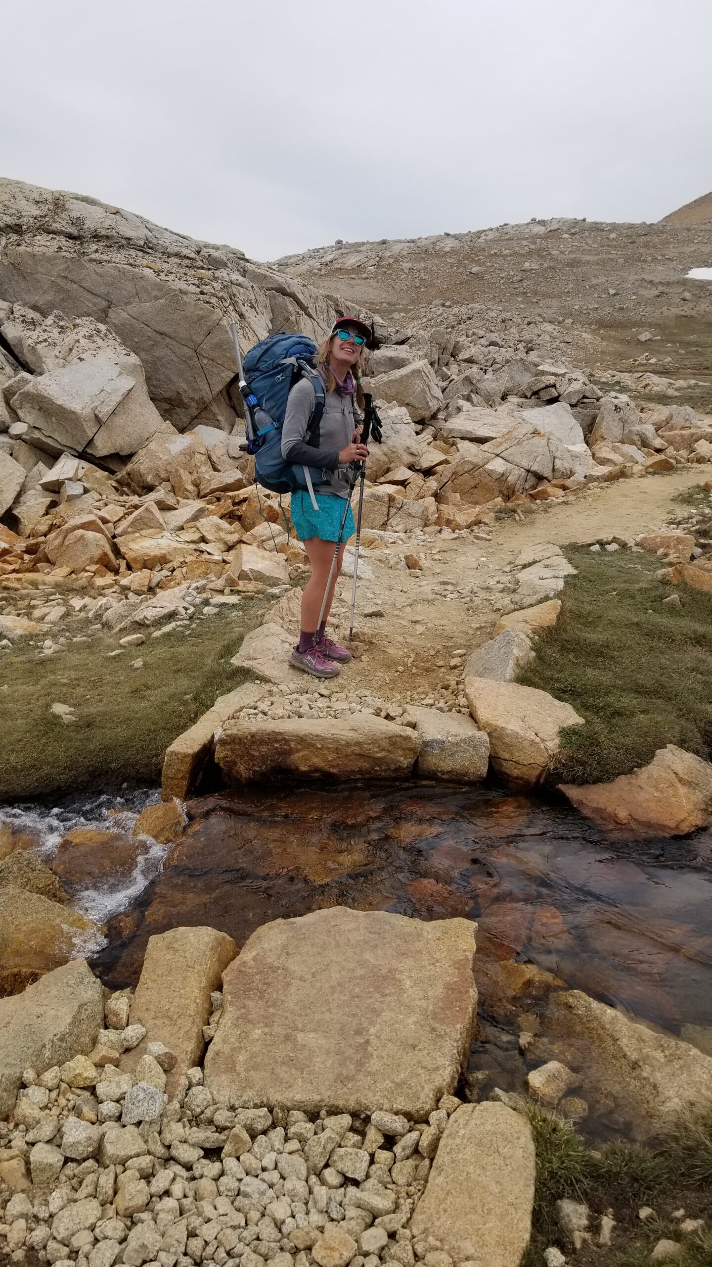
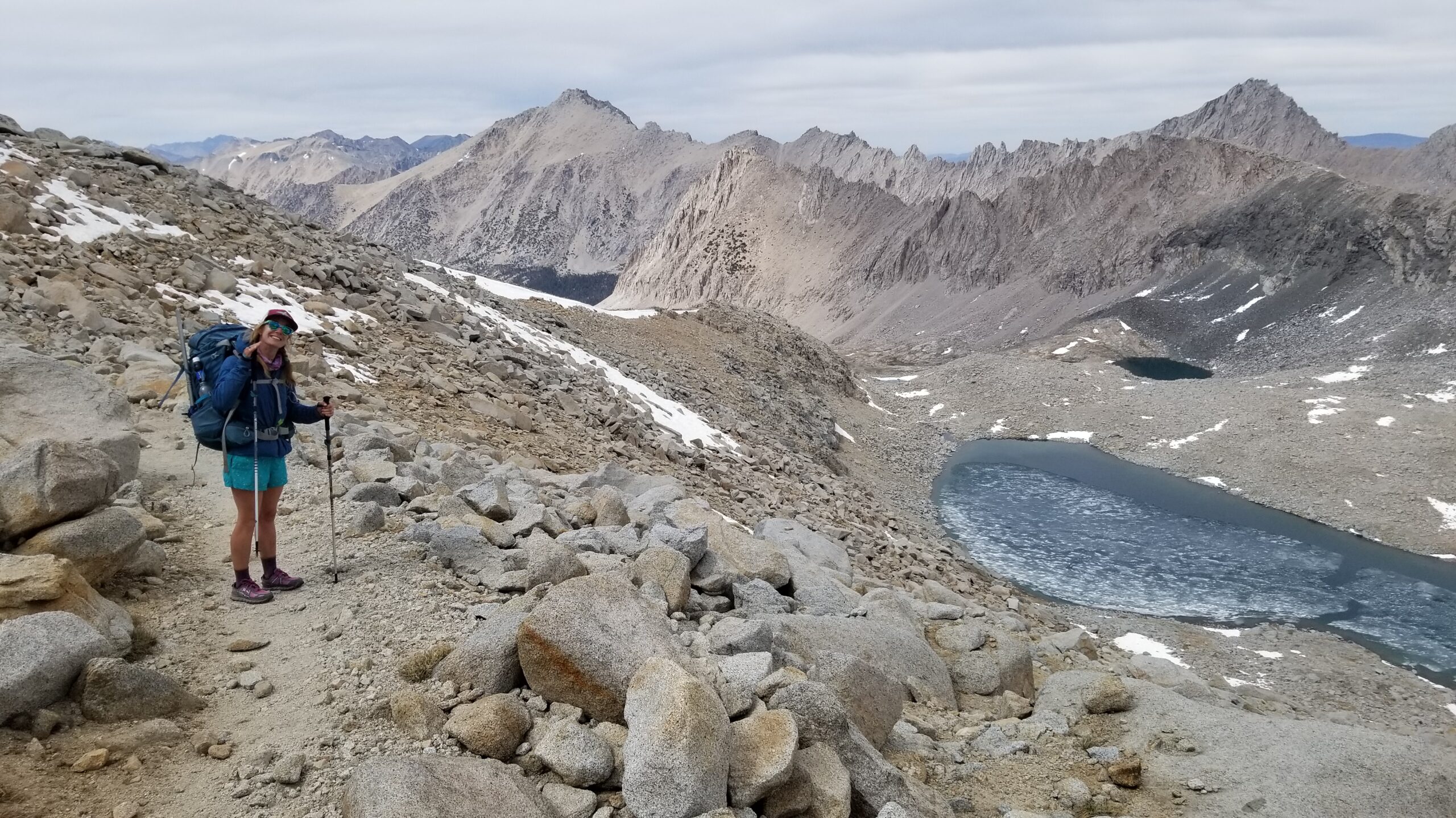
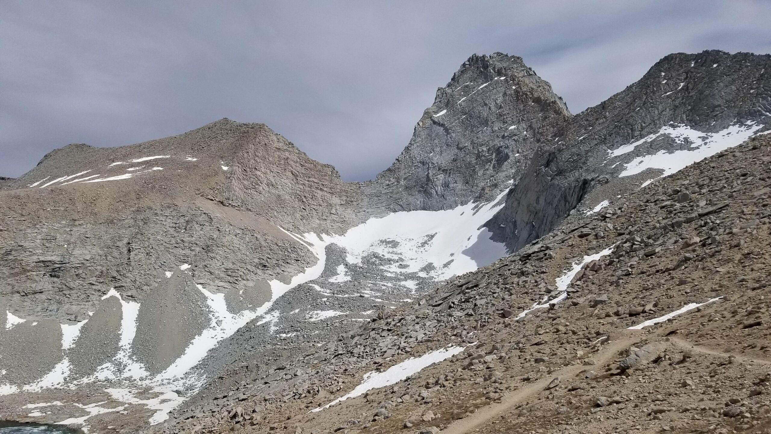
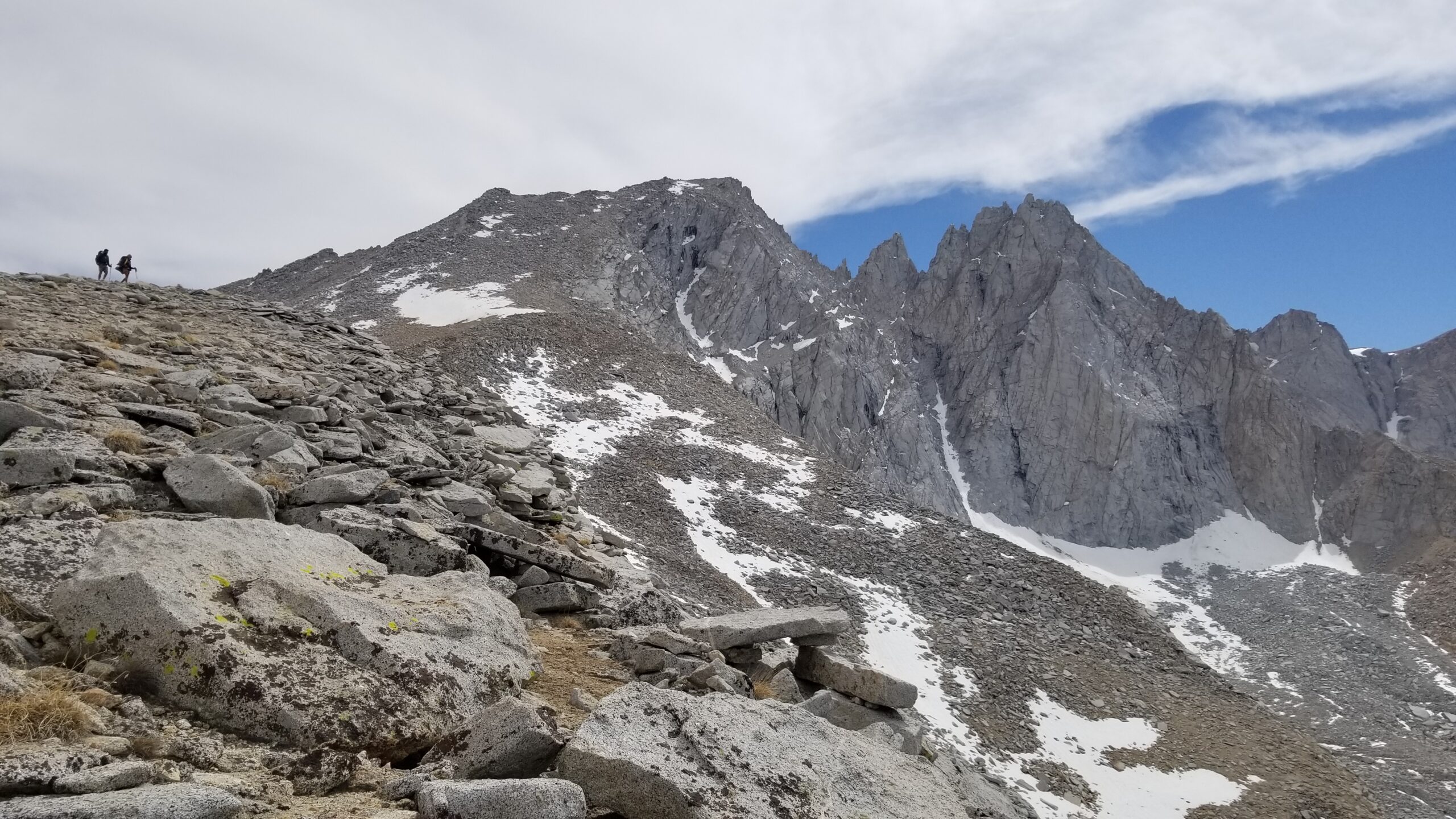
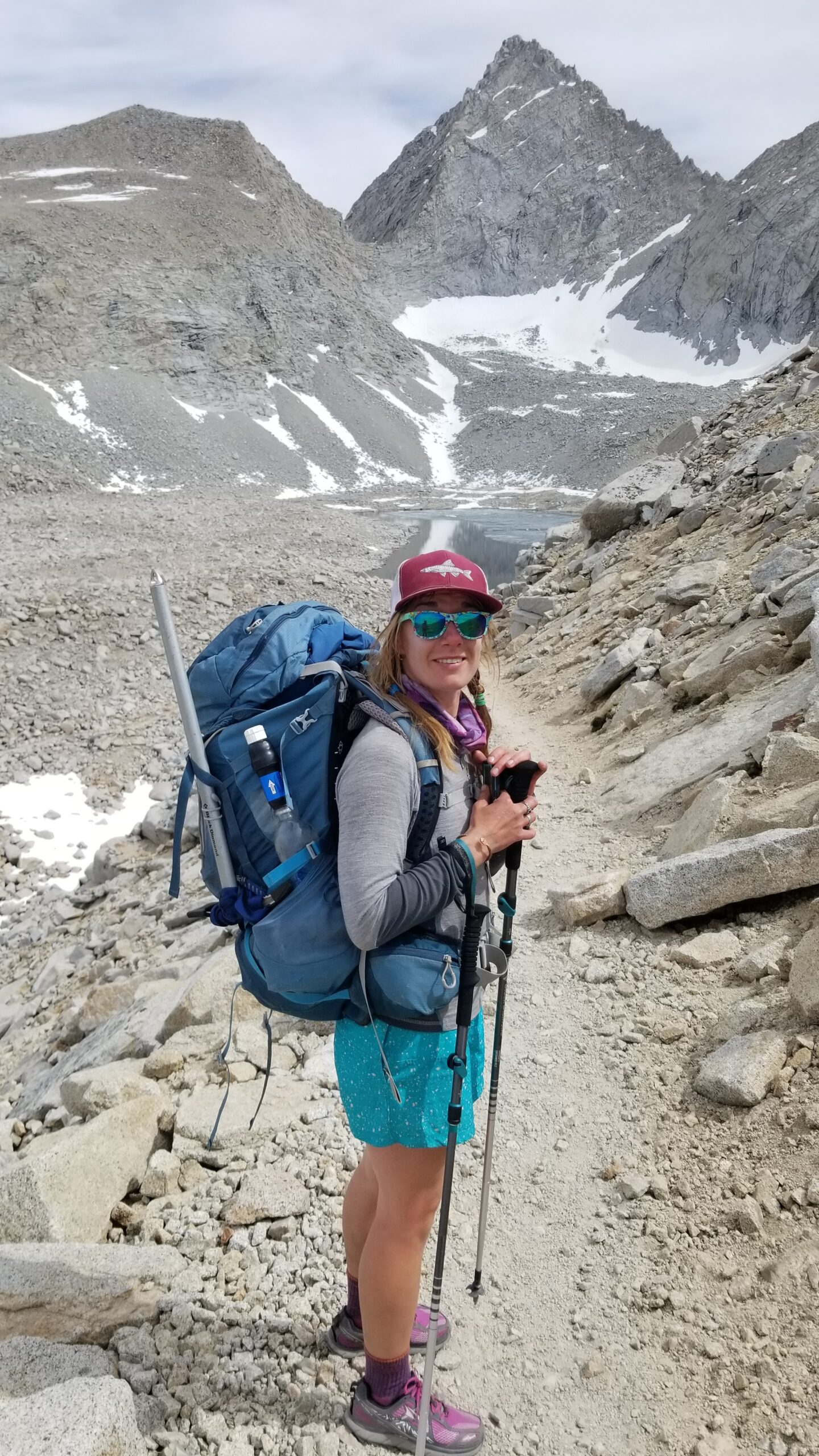
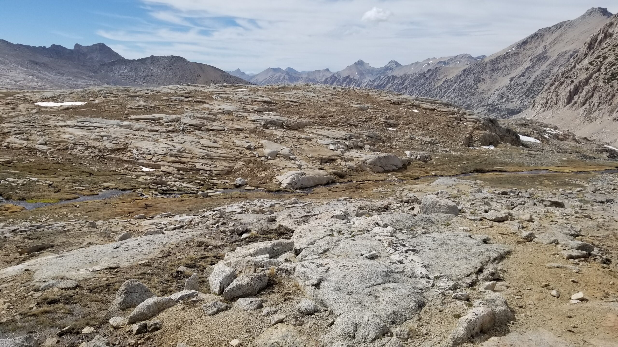
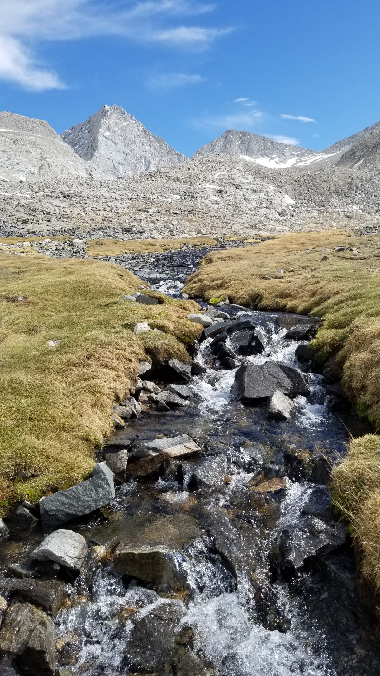
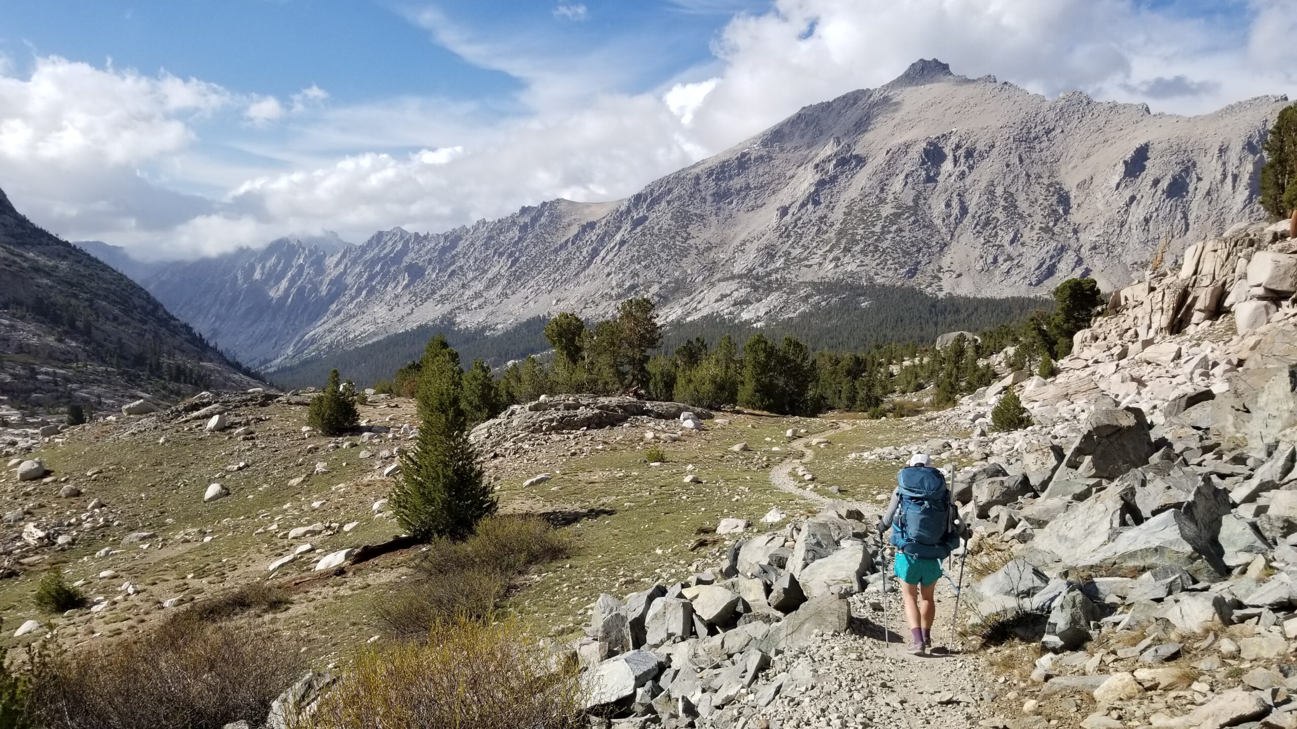
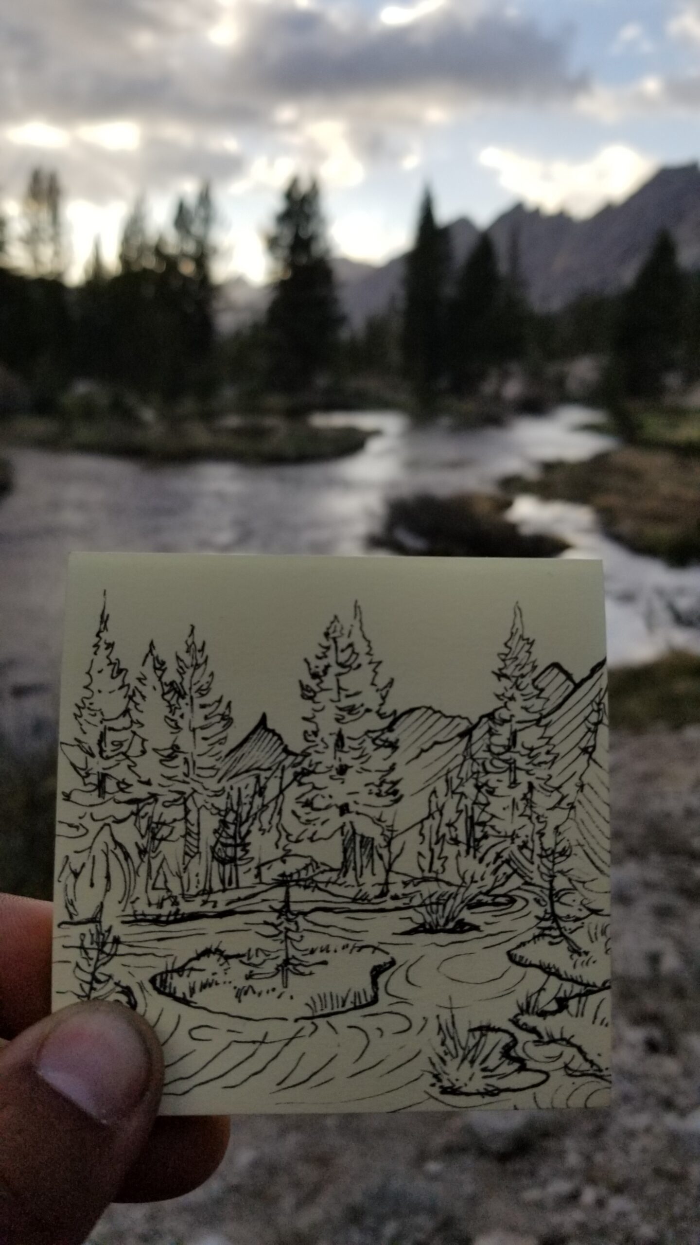
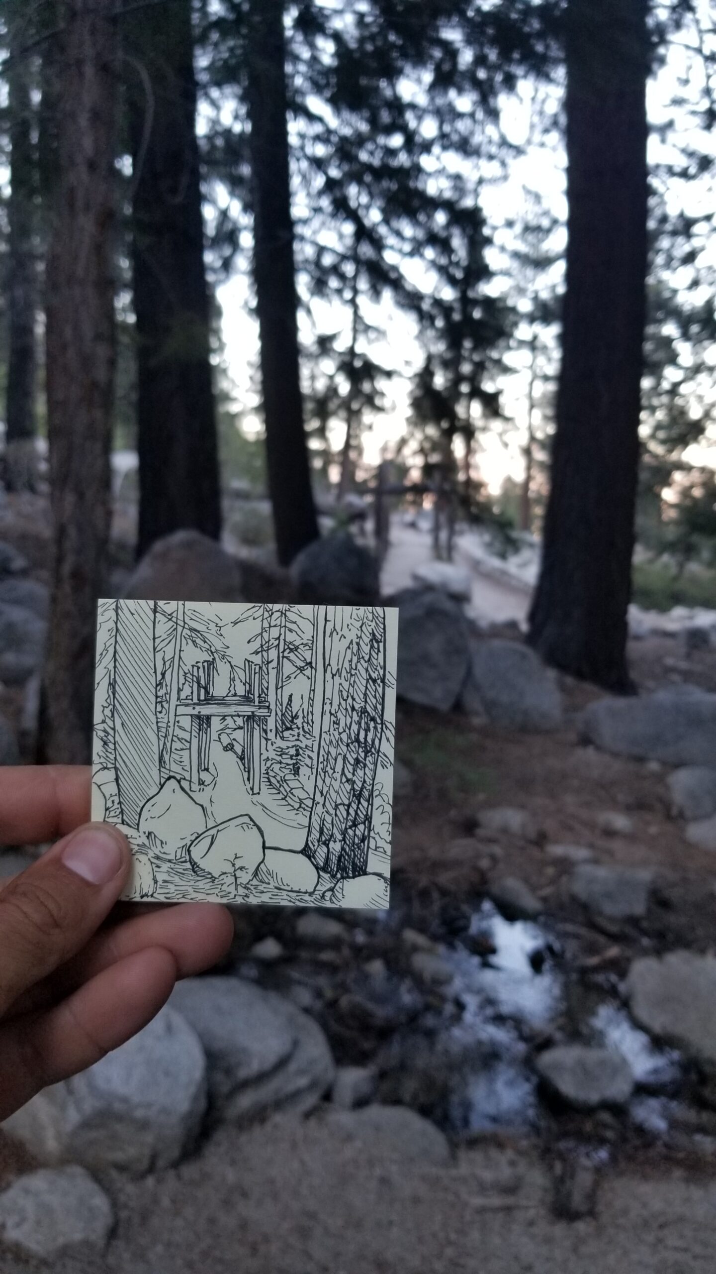
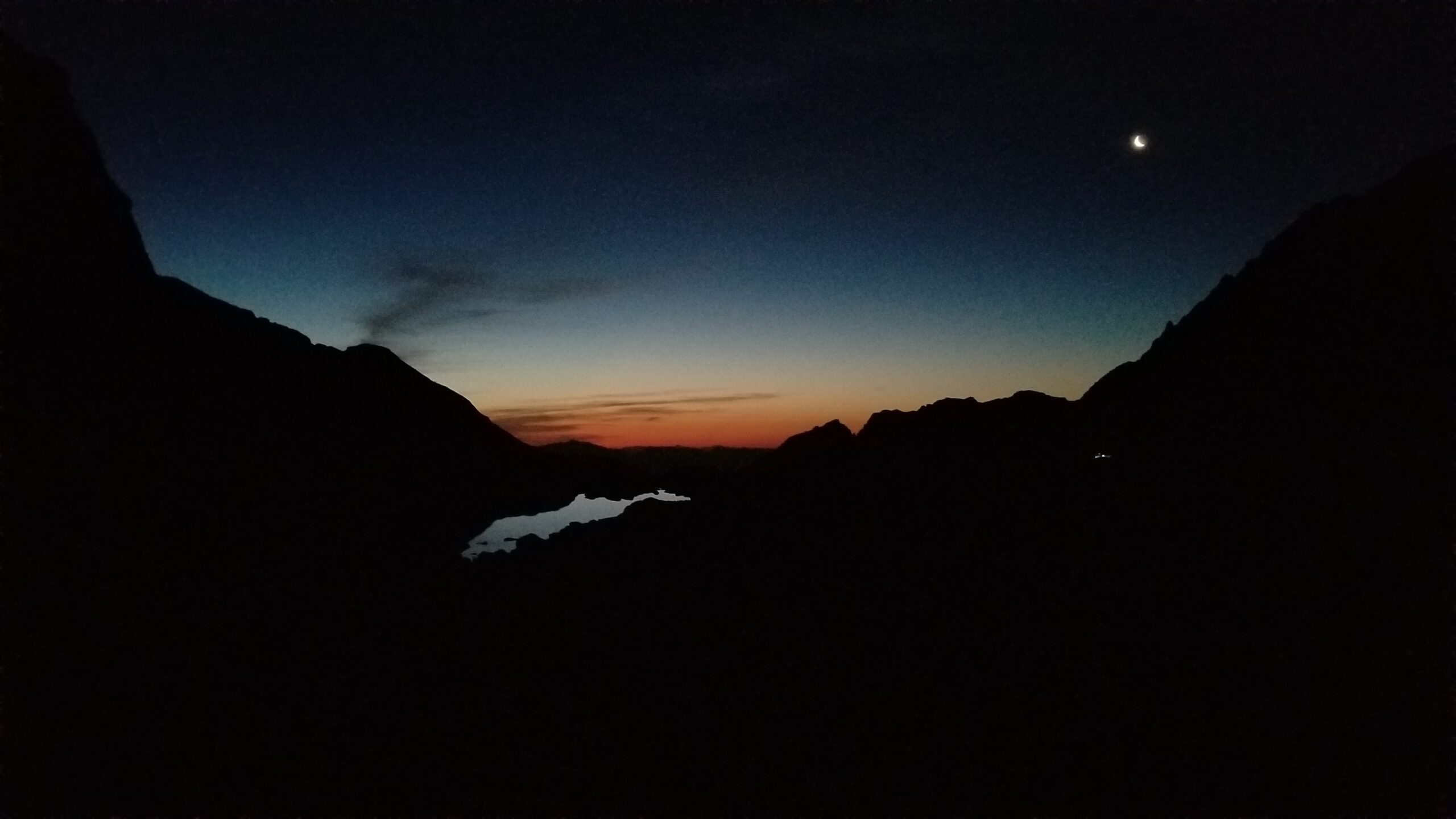
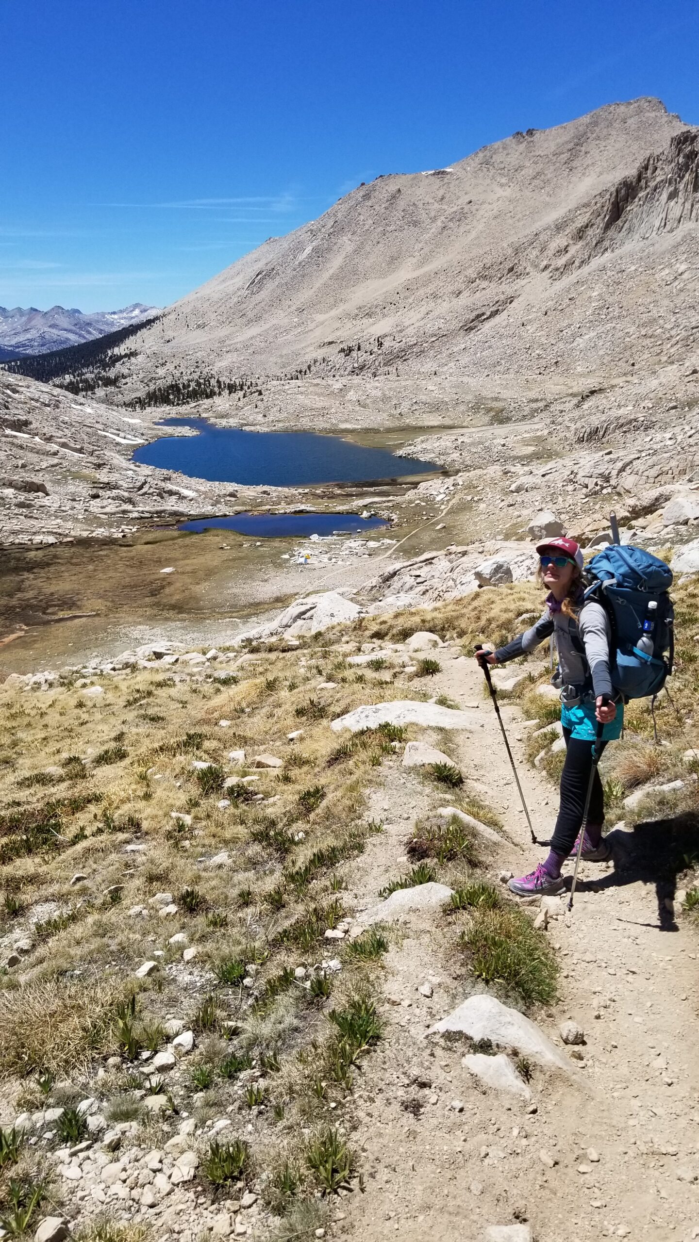
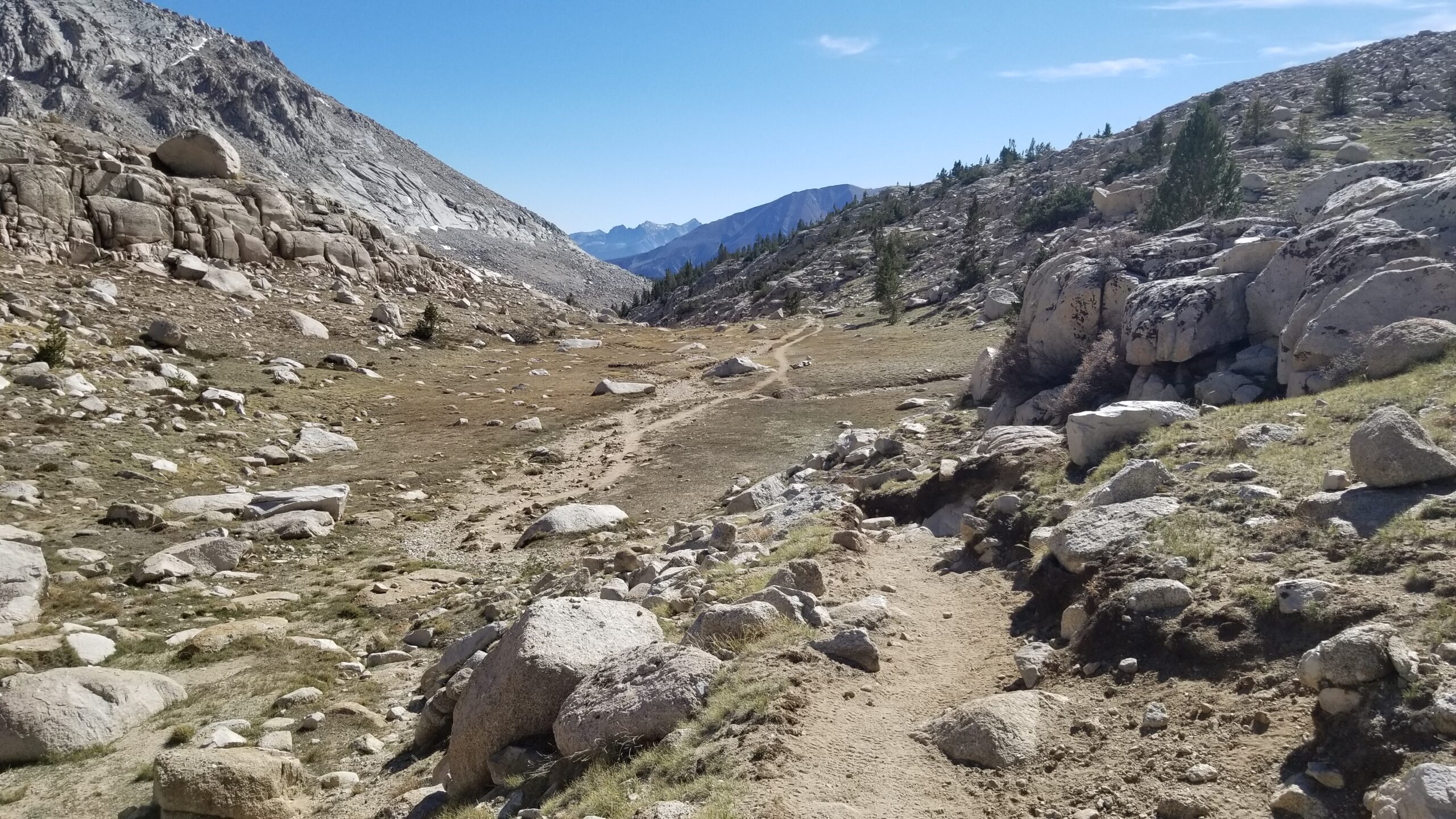
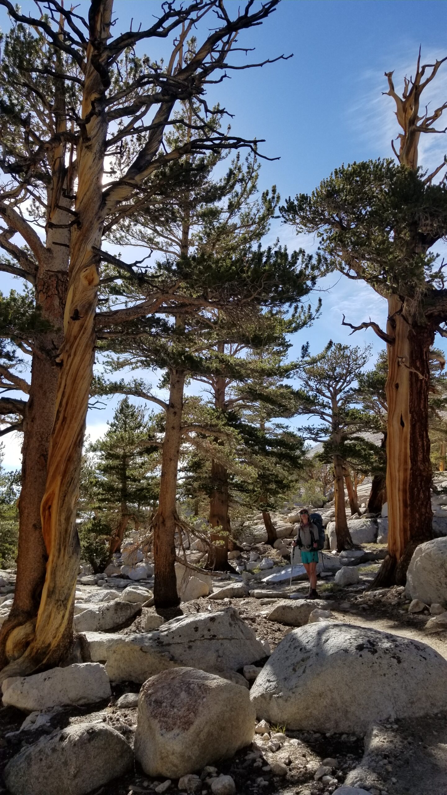
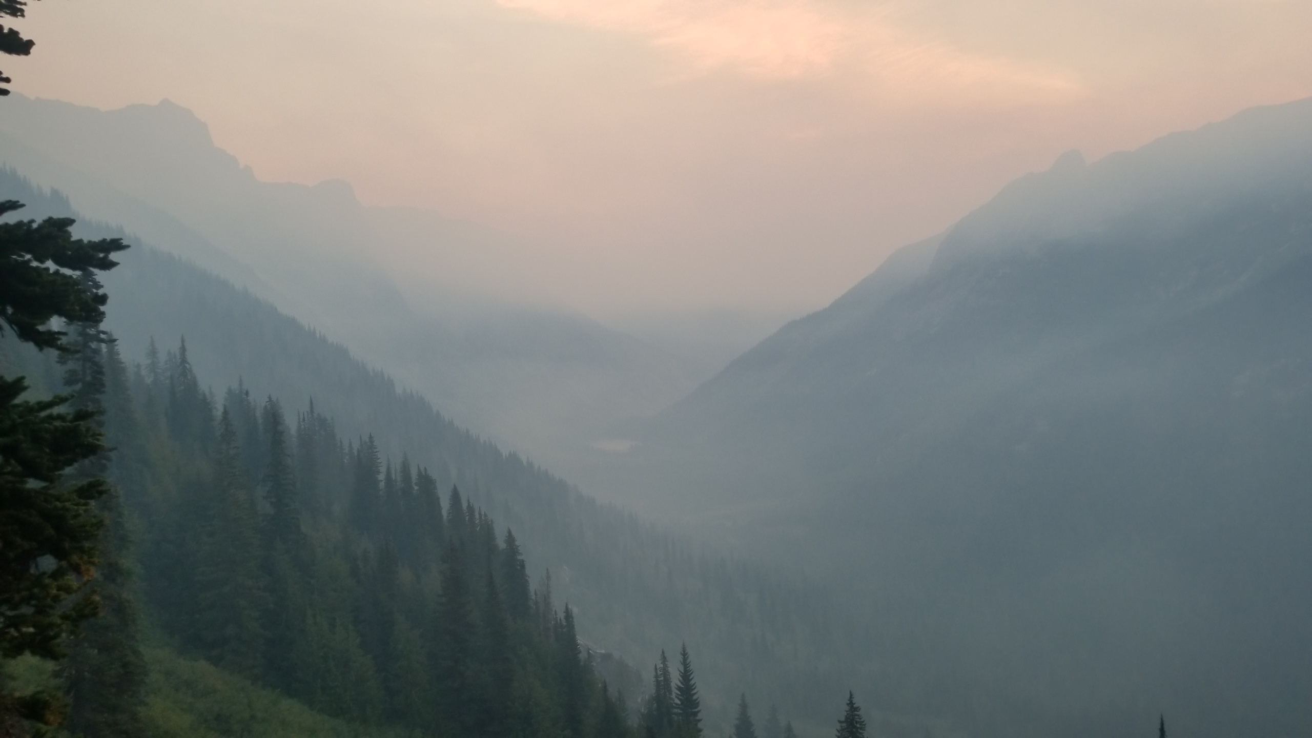
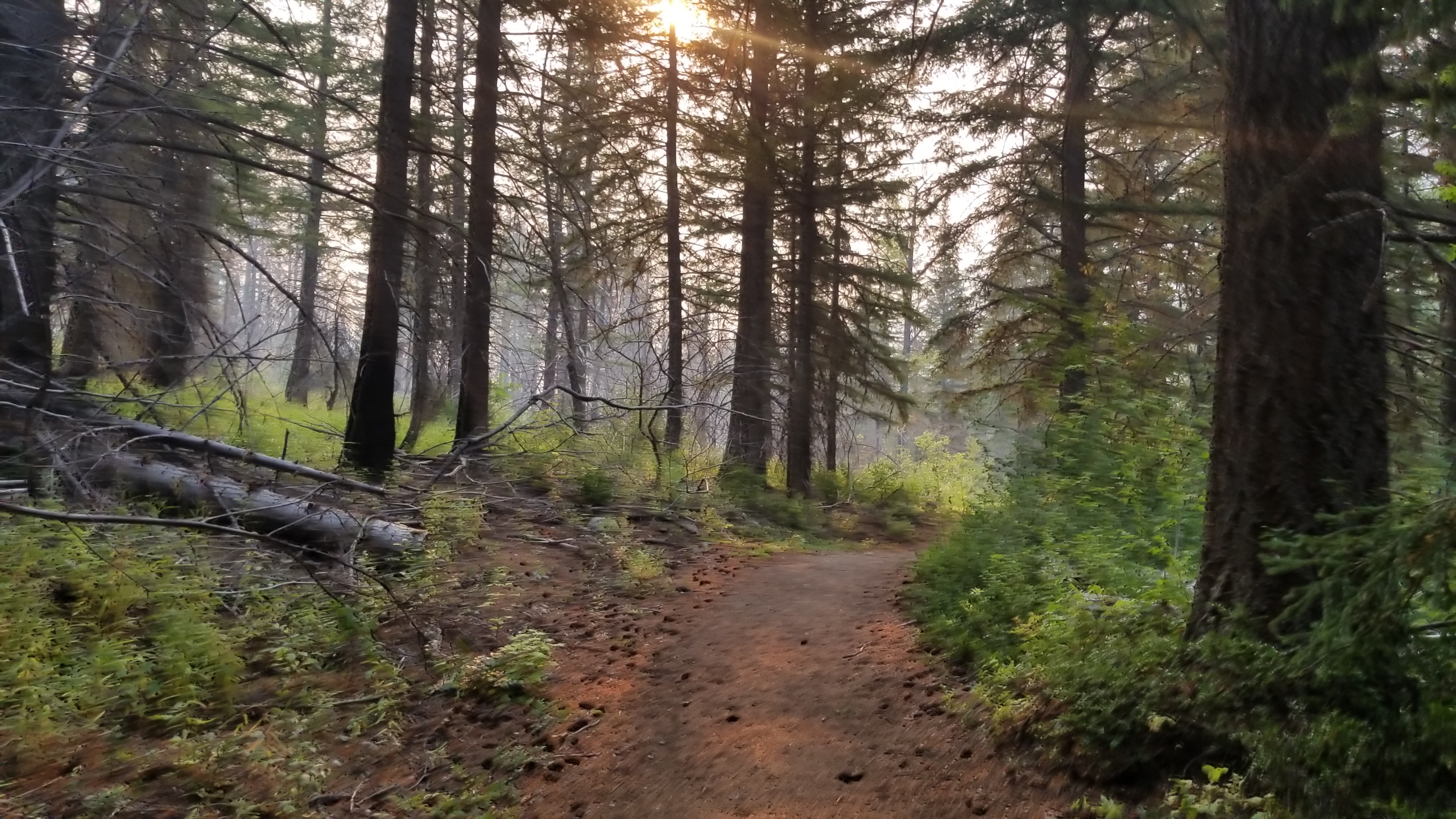
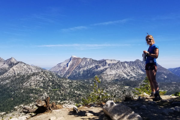
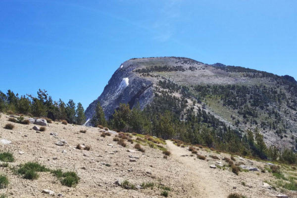
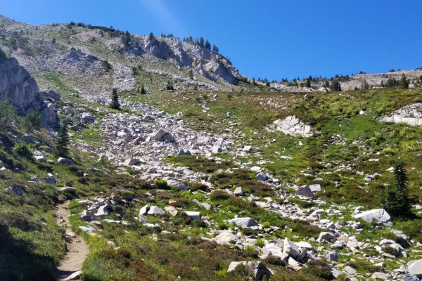
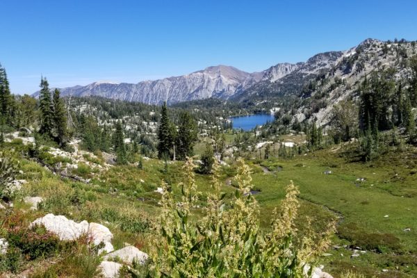
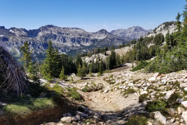
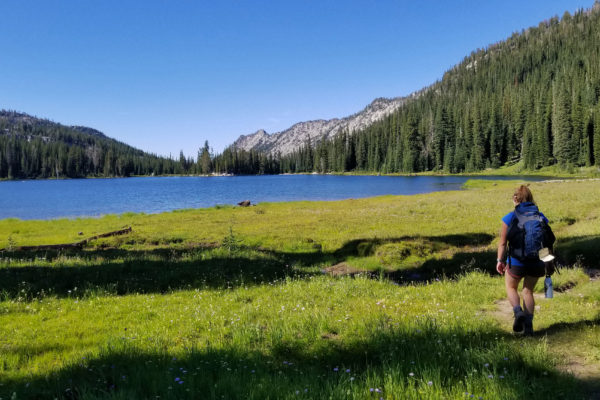
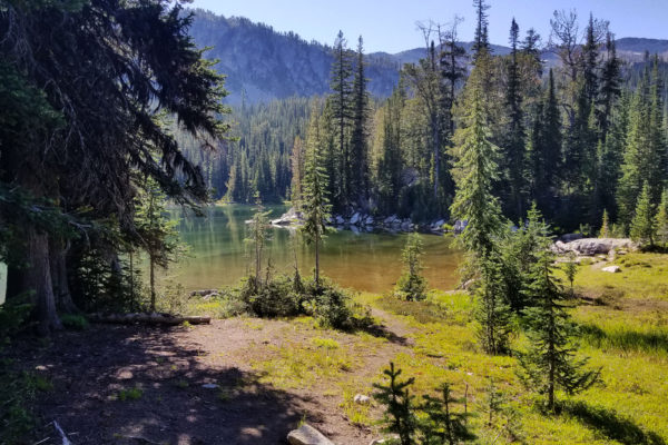
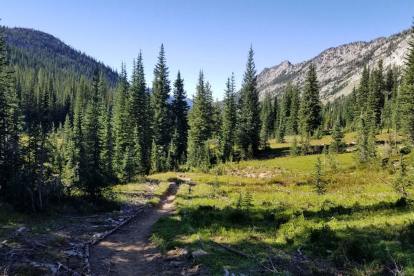
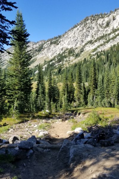
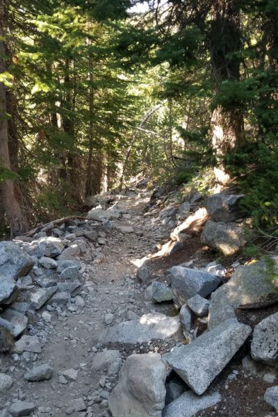
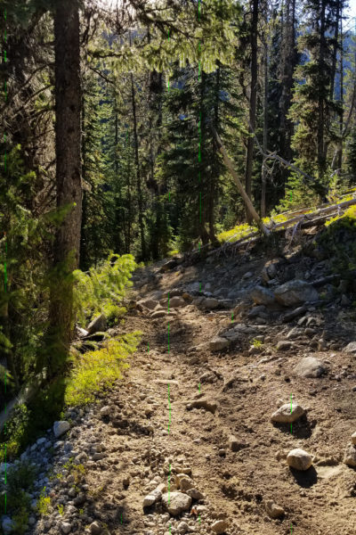
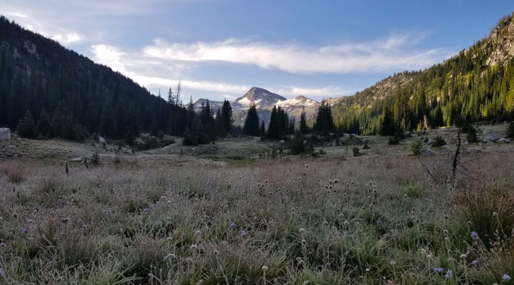
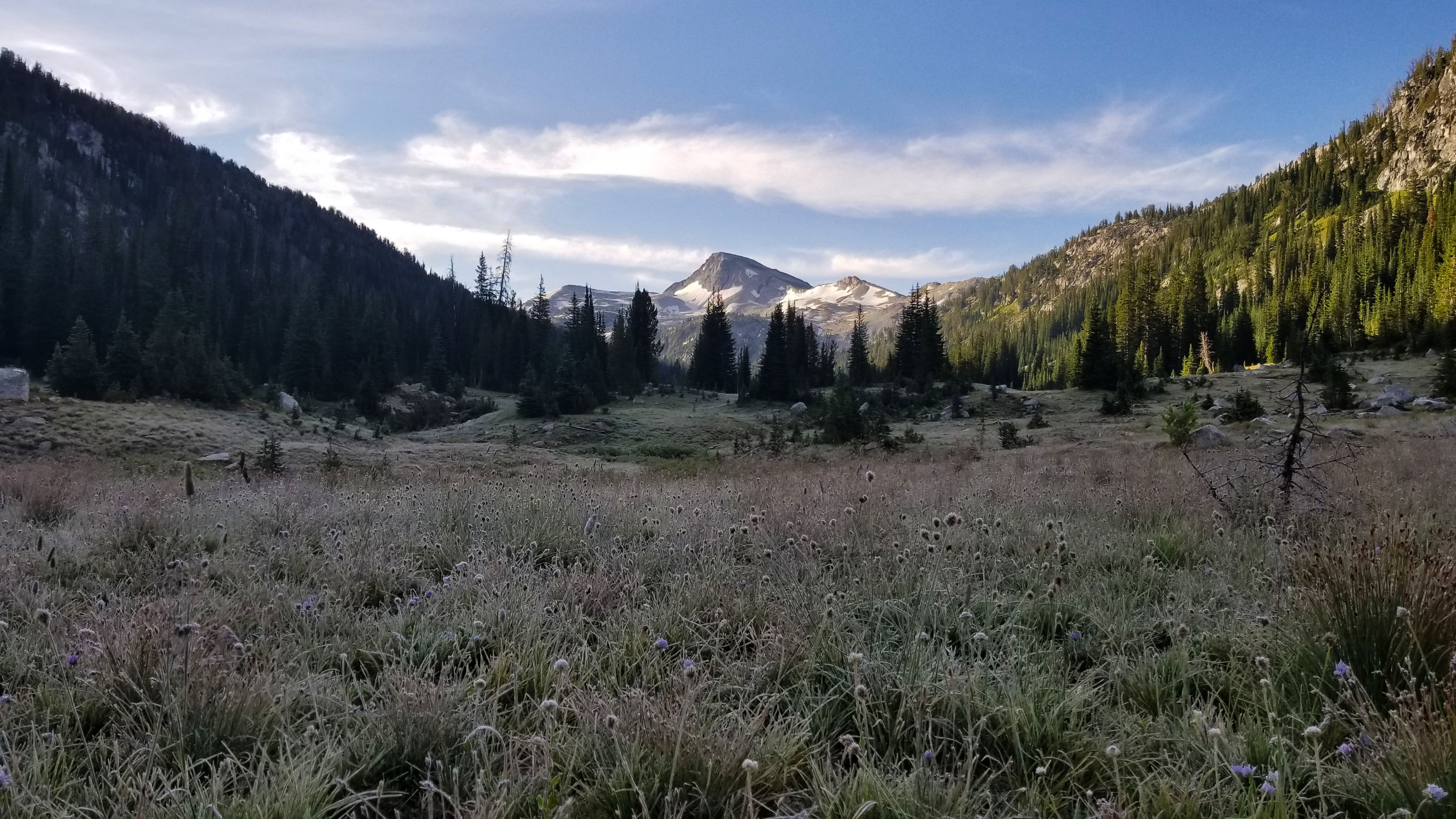
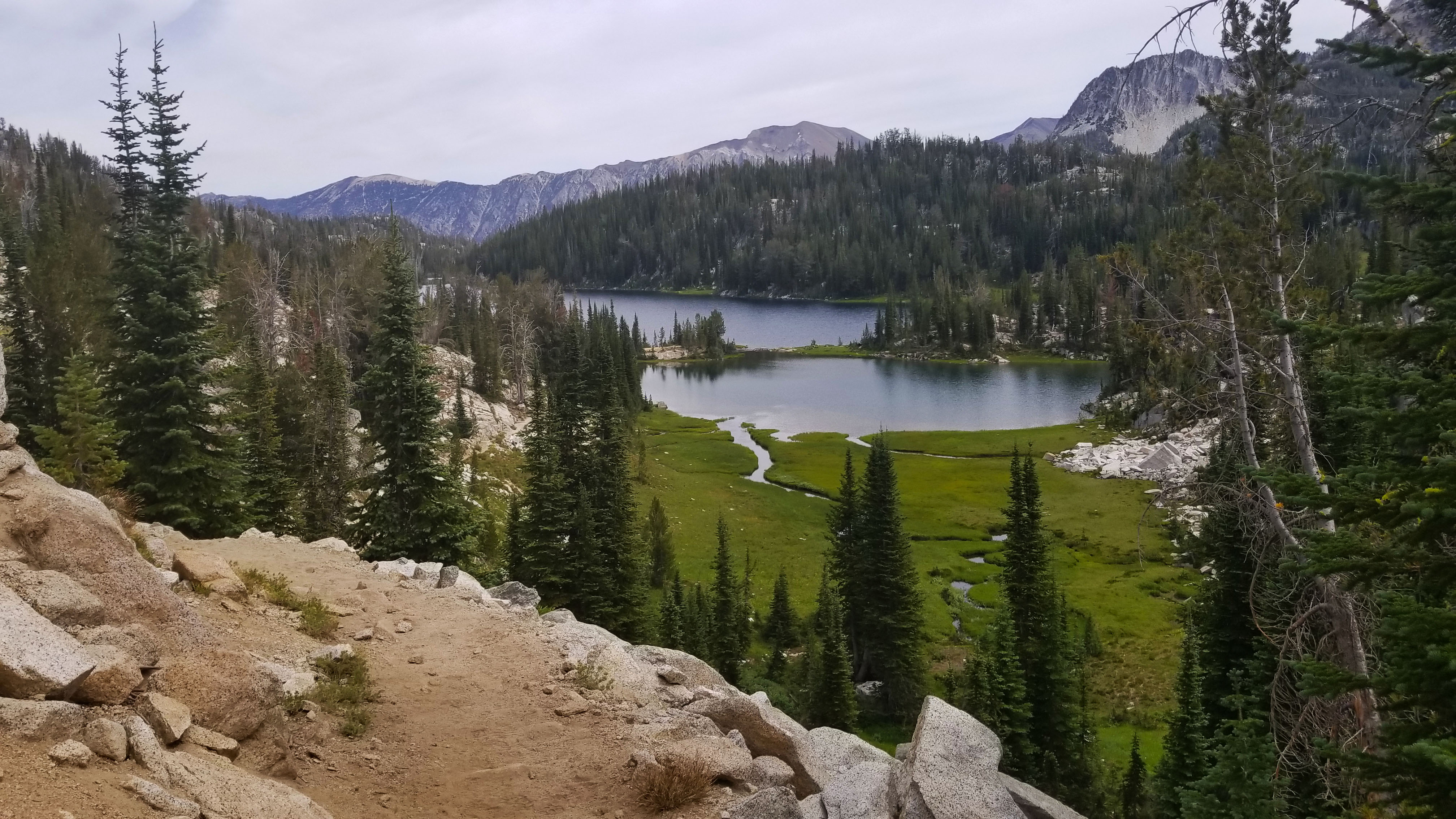
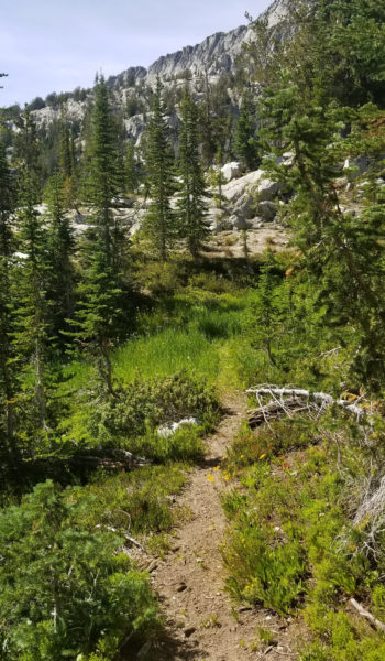
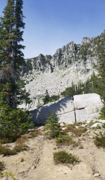
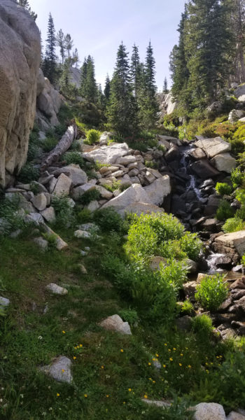
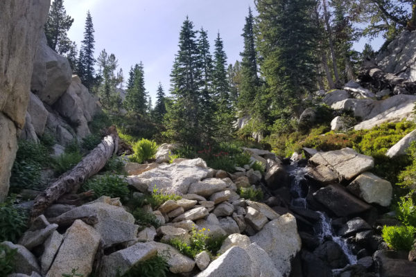
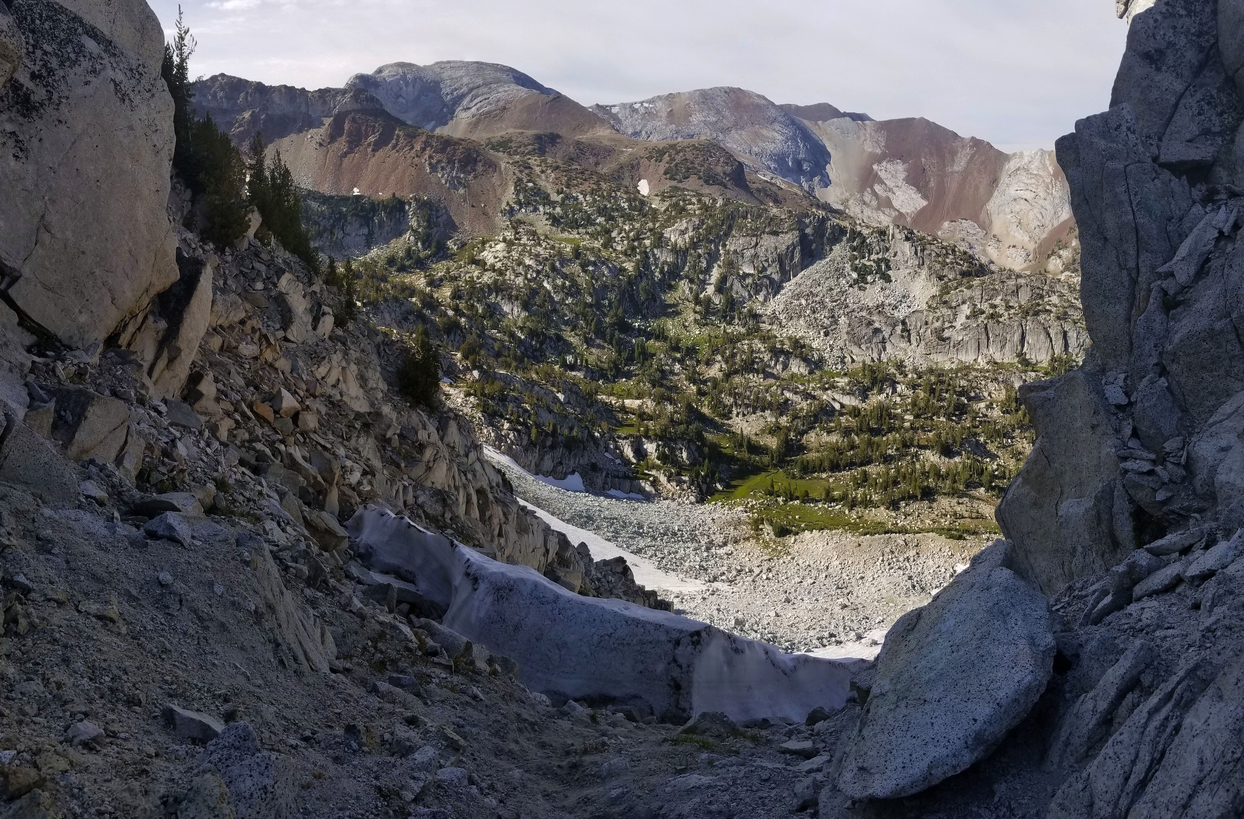
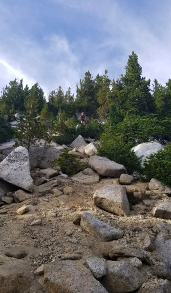
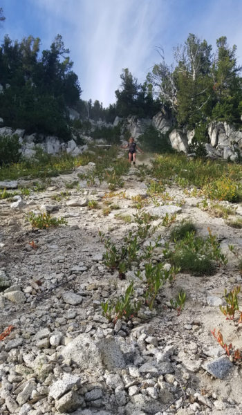
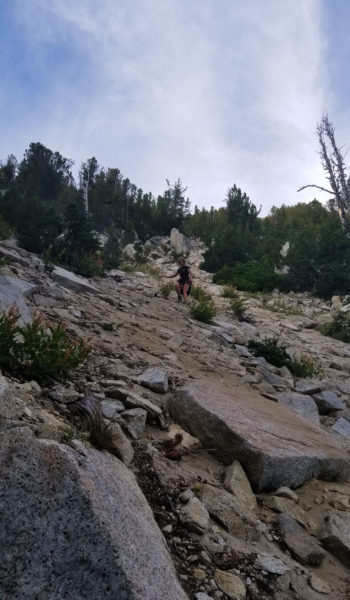
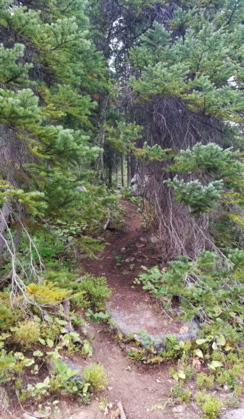
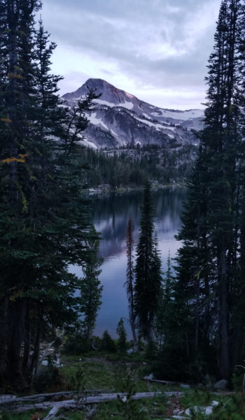
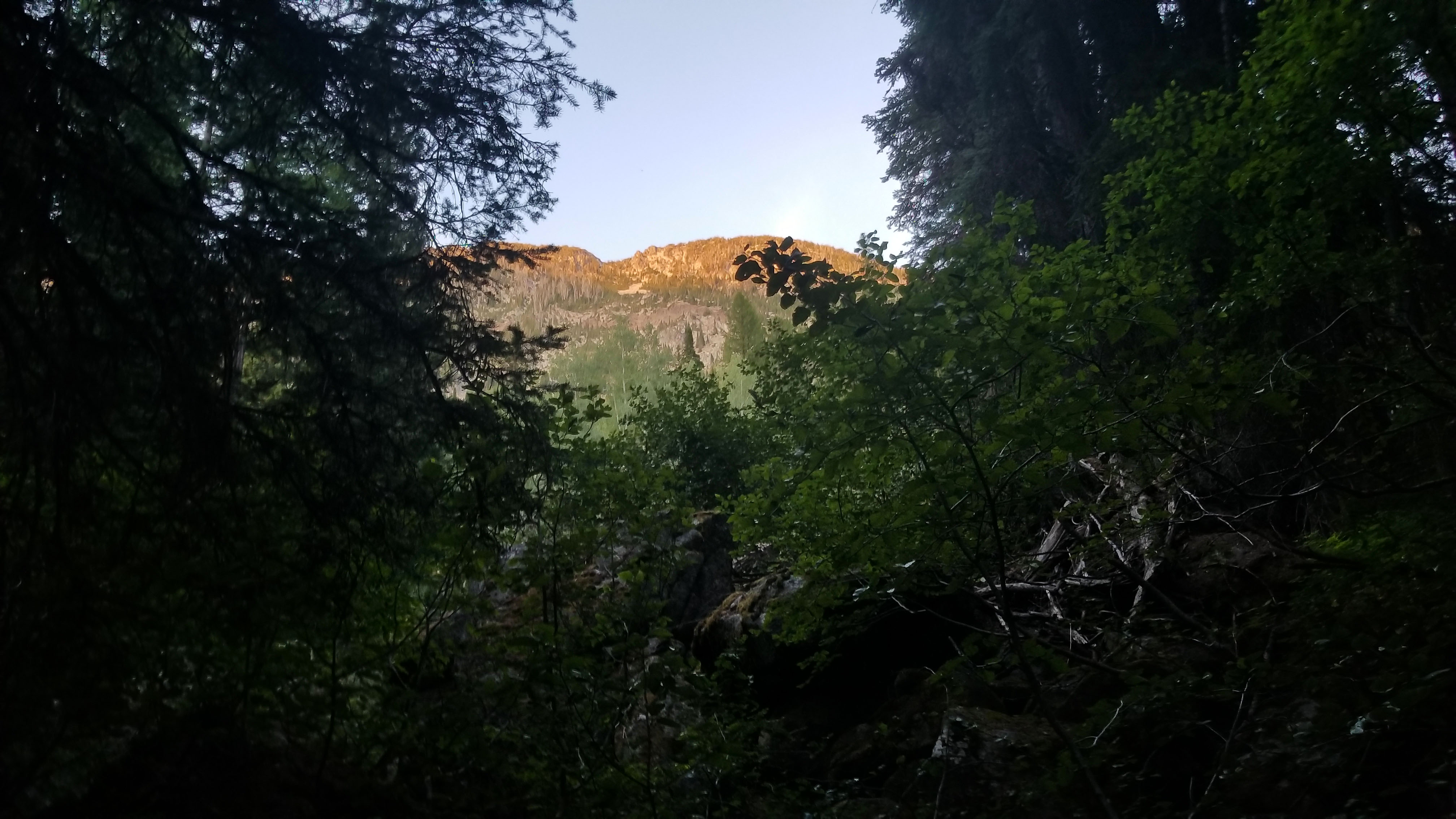
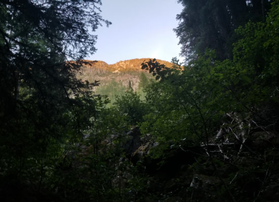
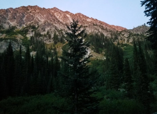
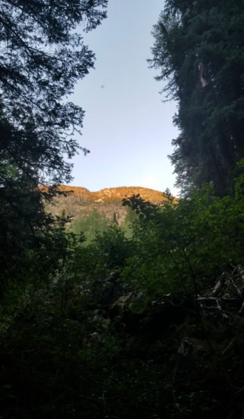
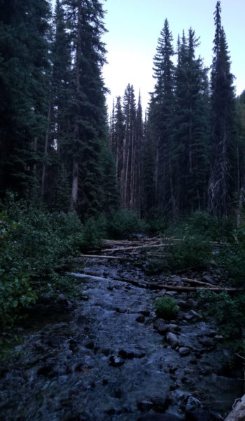
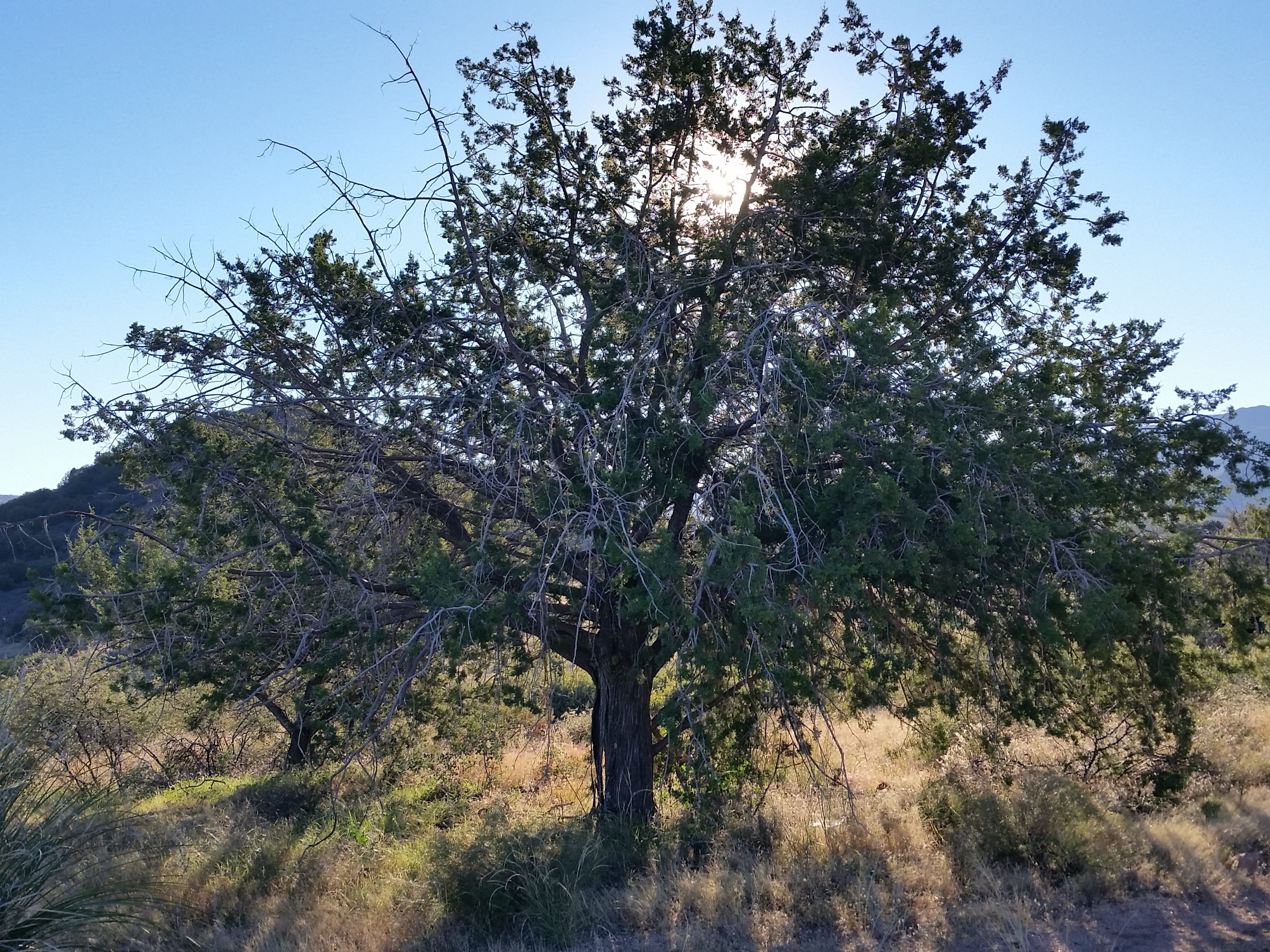
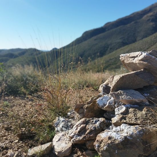
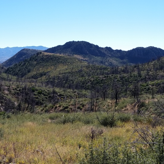
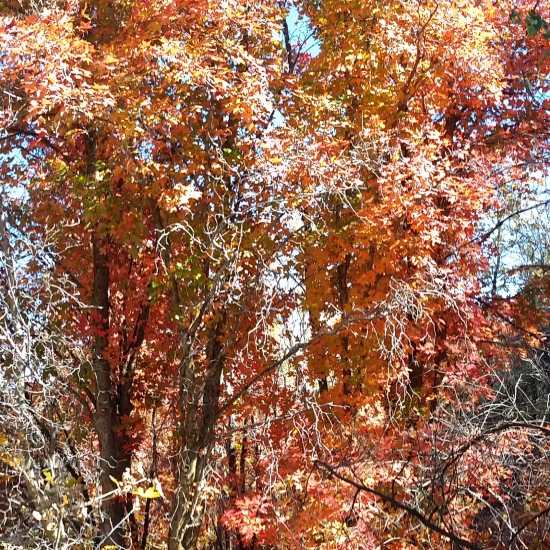
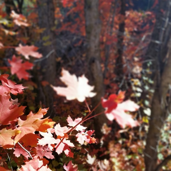
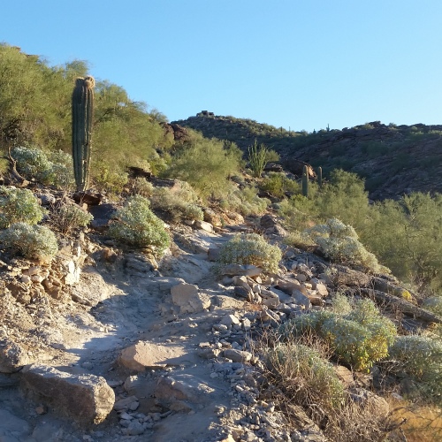
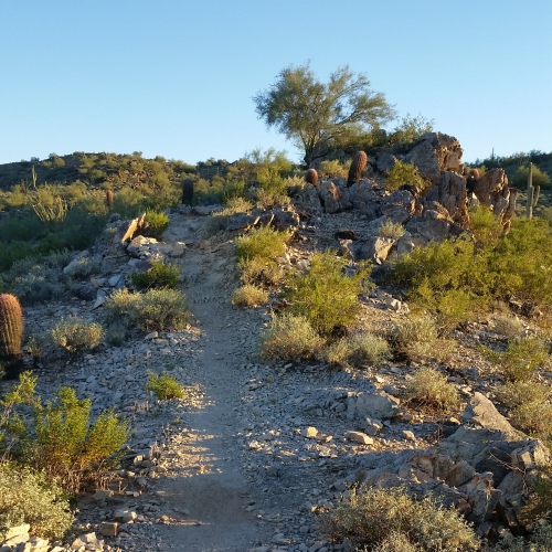
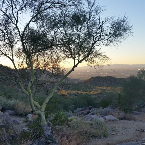
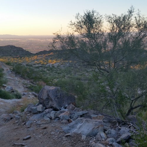
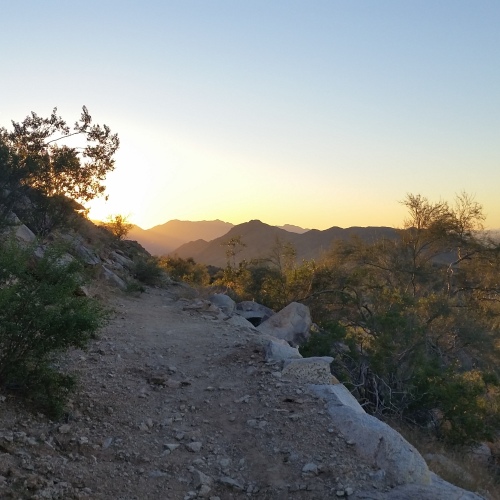
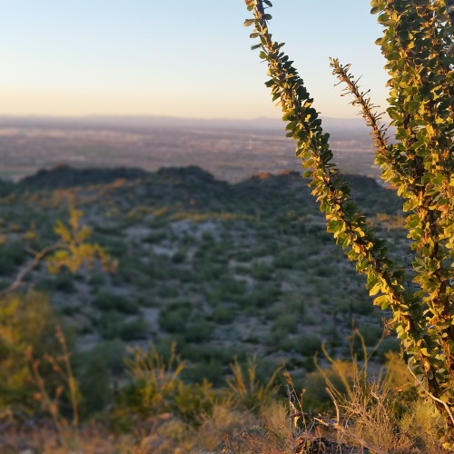
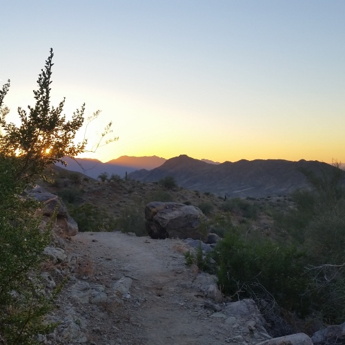
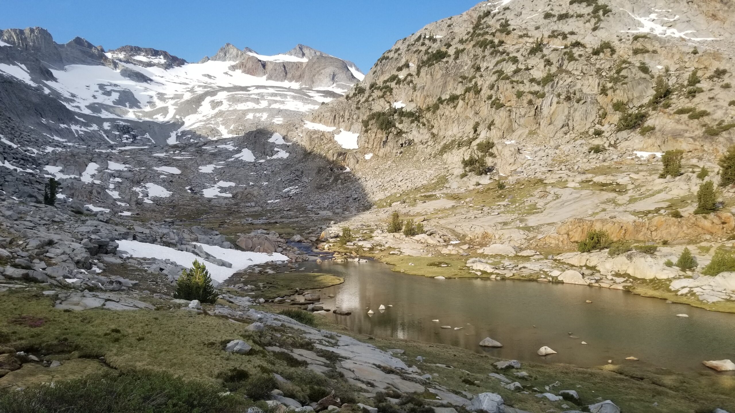
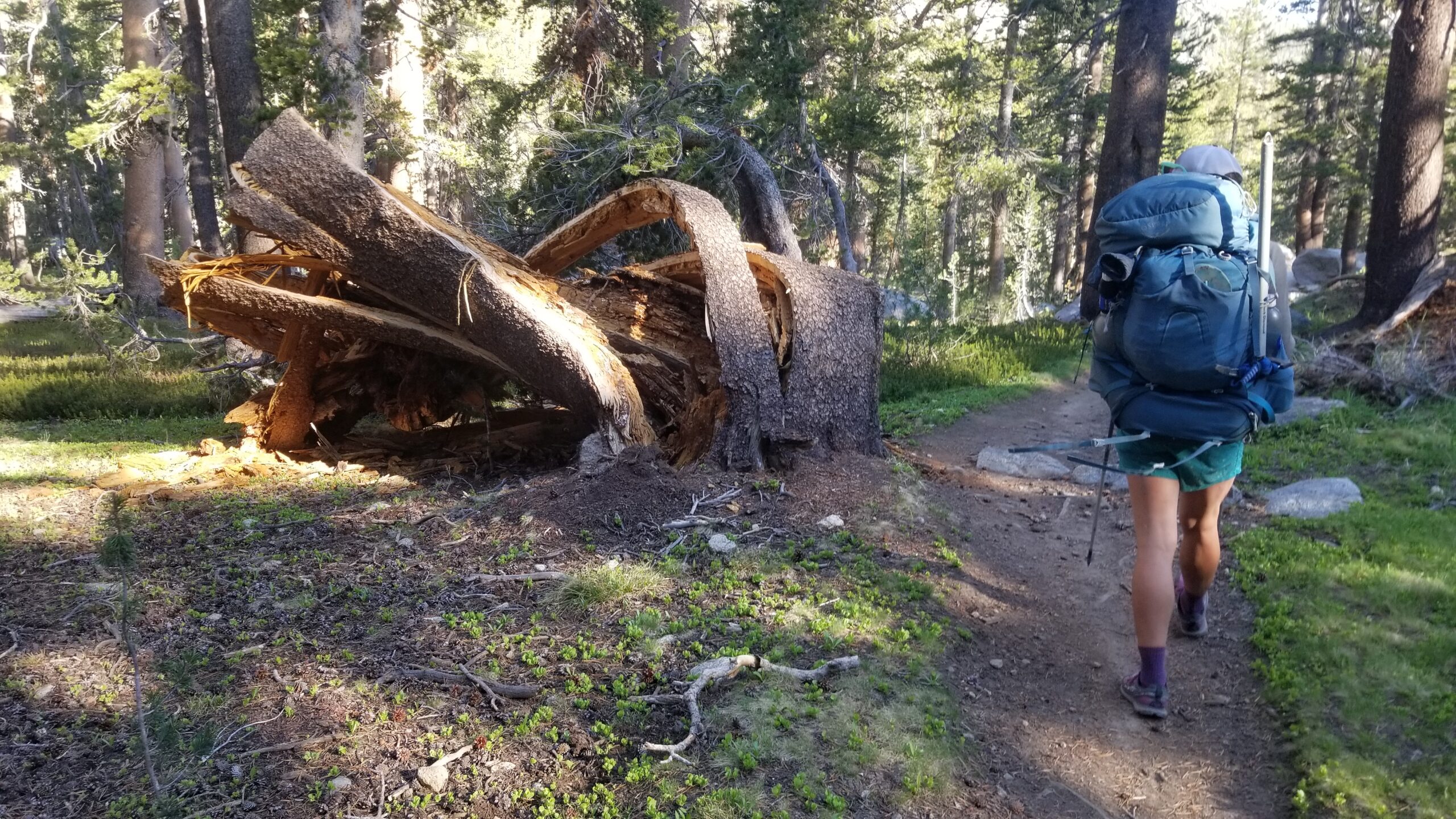
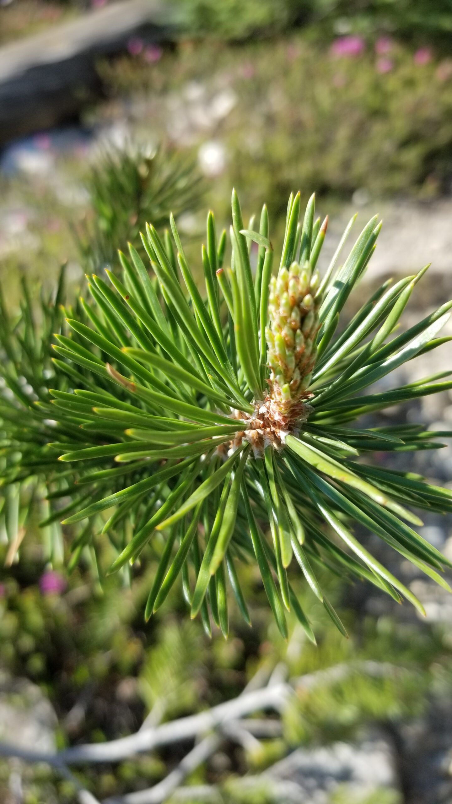
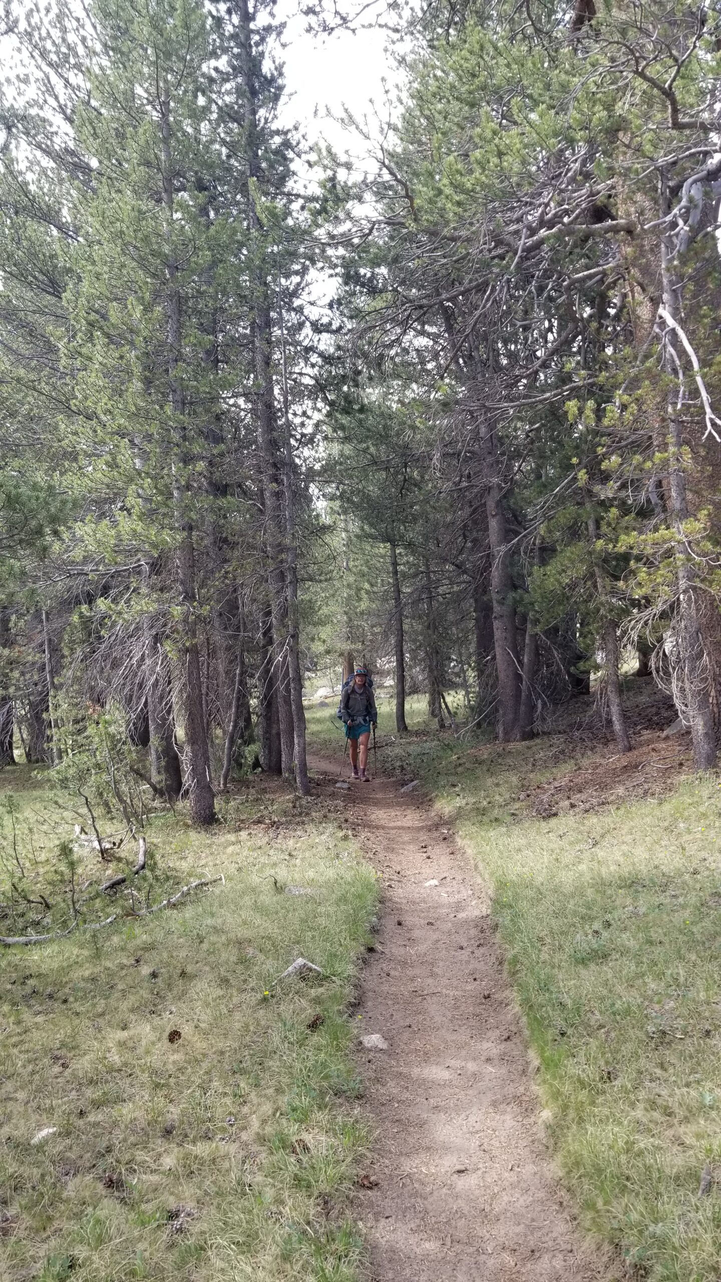
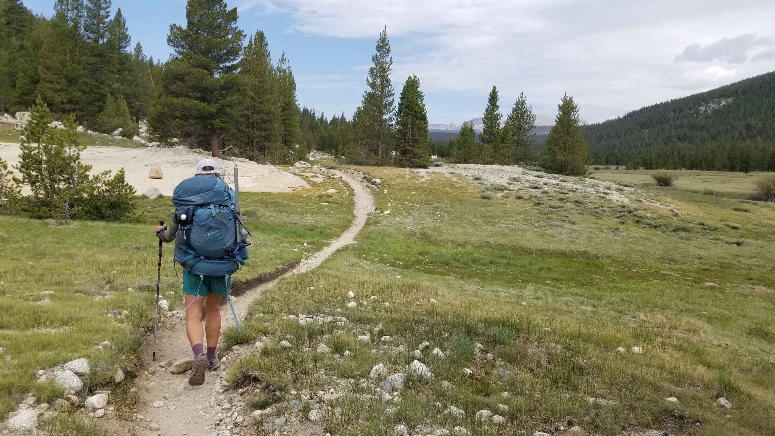
When we finally popped out of the tent we were greeted by a beautiful pastel sky. Morning bluebird skies finally poked through as we strapped our packs on and headed down the trail. The trail skirted a beautiful lake at the foot of Lyell Glacier just below Lyell Peak. Just after the trail quickly leaped off the edge for the descent to the canyon below. A cool clear creek crossed the trail and descended into the Lyell Fork Creek below. At the bottom of the first drop we found a forest of lodgepole pines. The creek sometimes walked side by side down the descent, other times it went off to play by itself. Granite boulders speckled the trail, birds chirped in the background, and best of all it was less buggy.
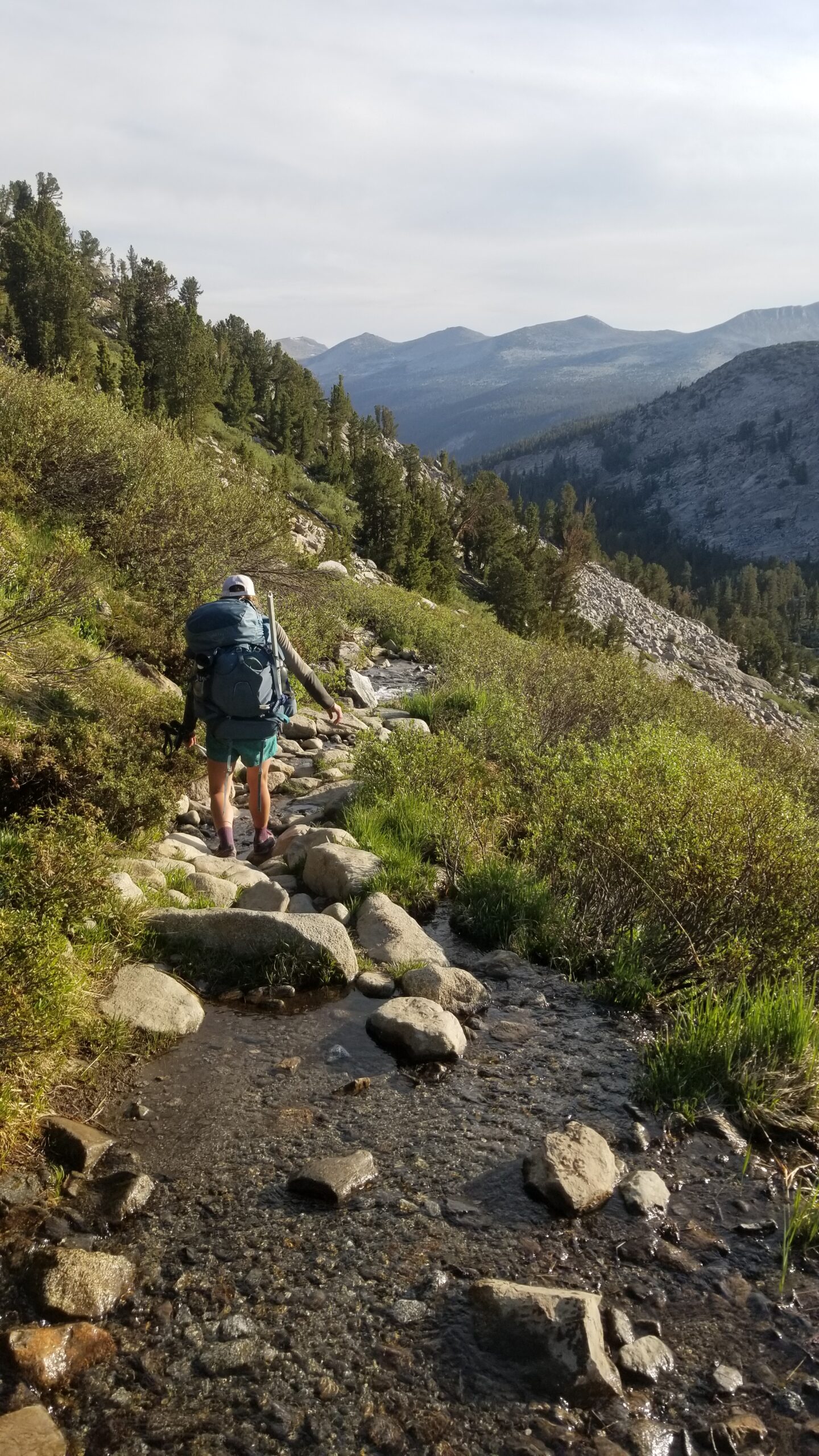
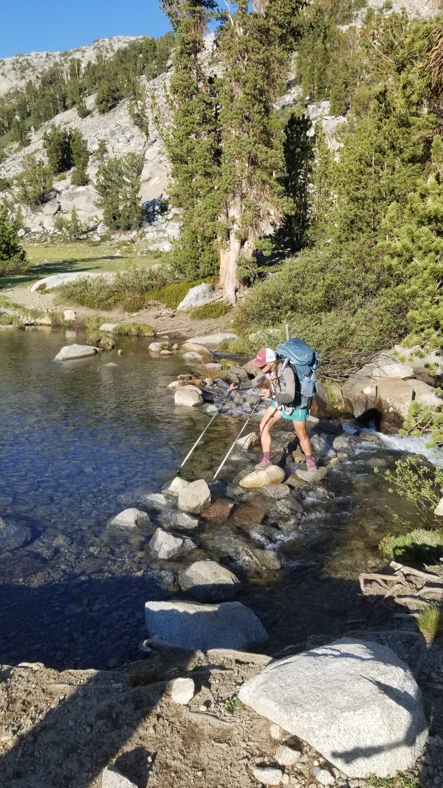
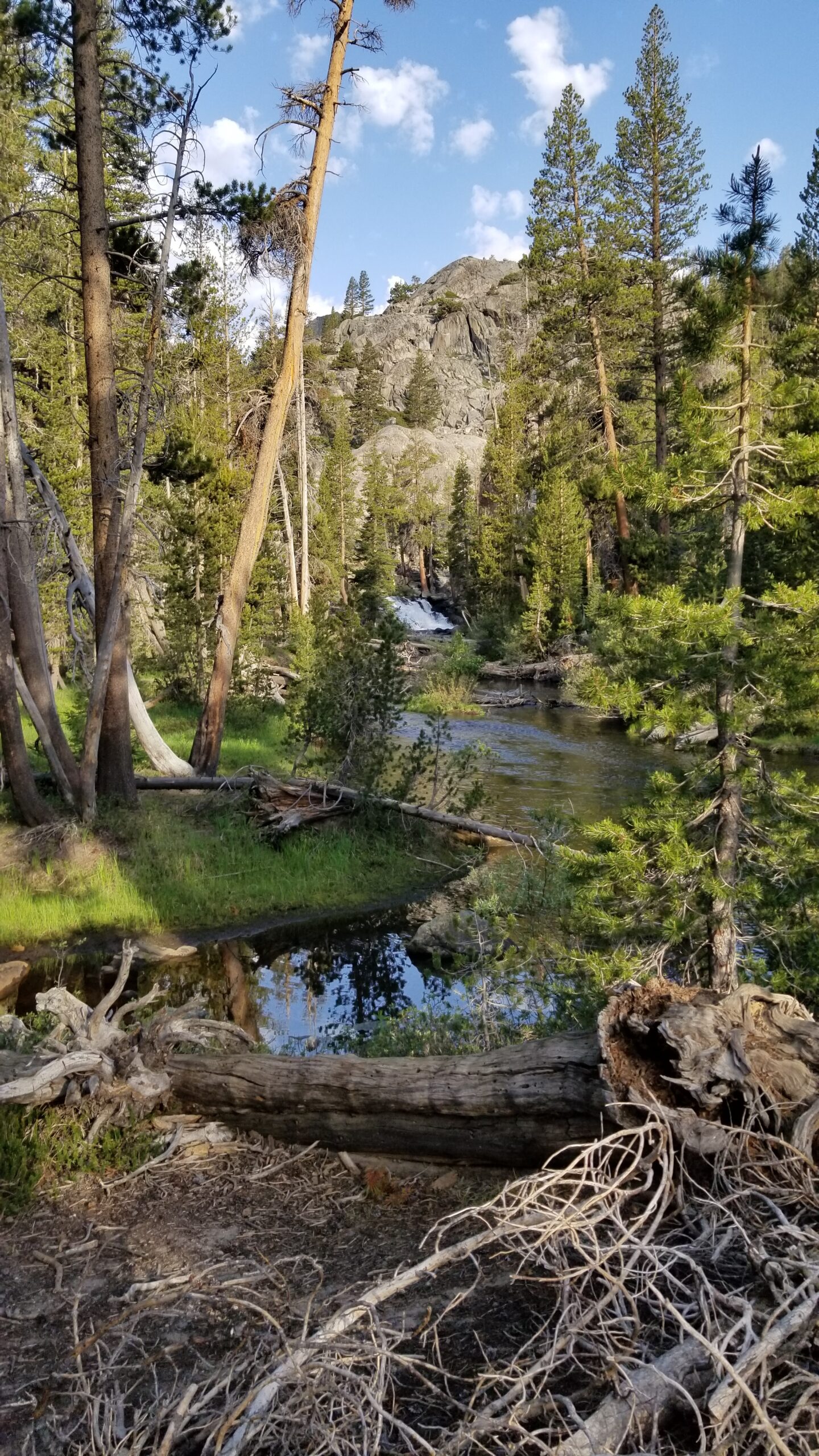
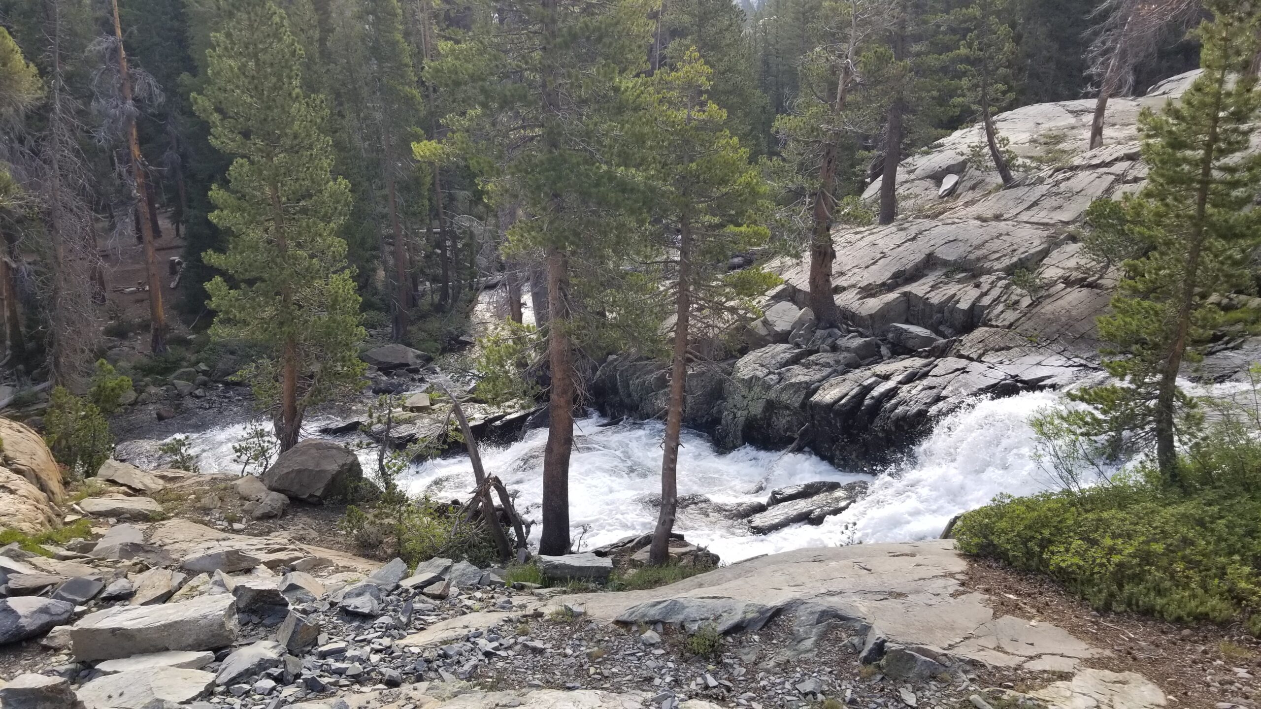
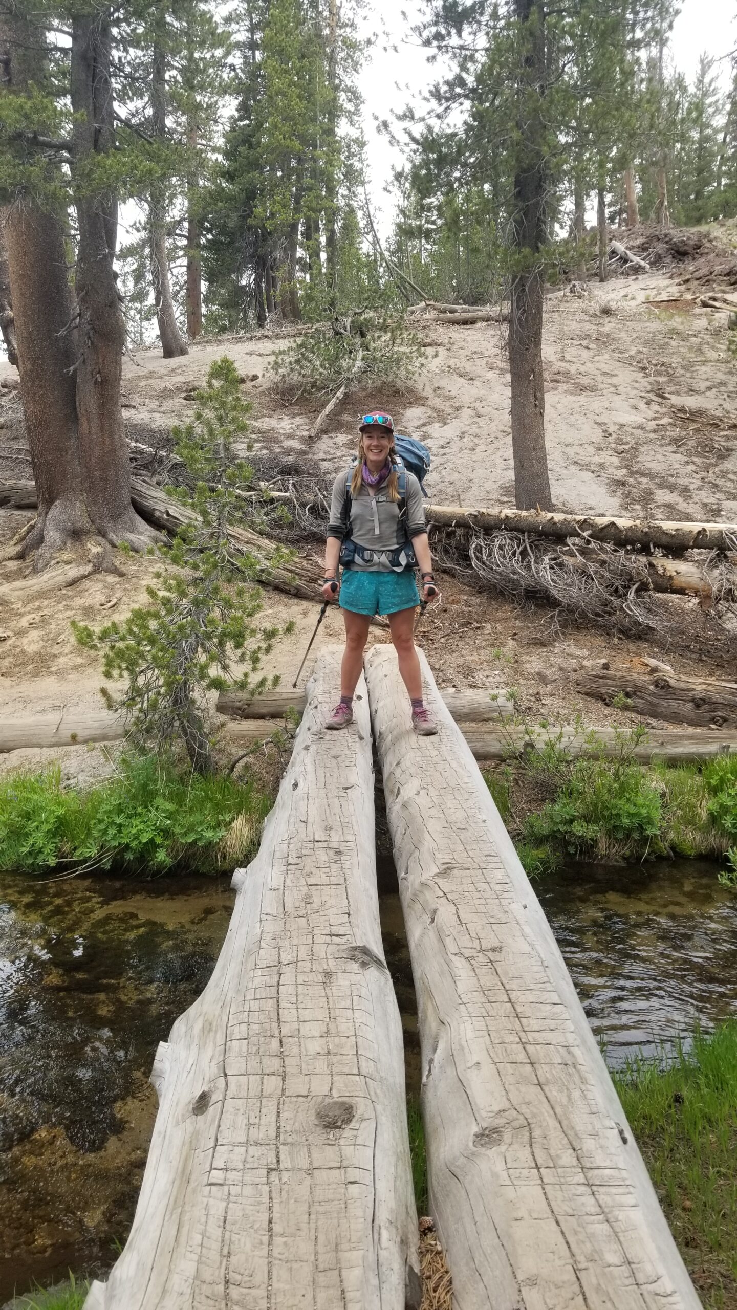
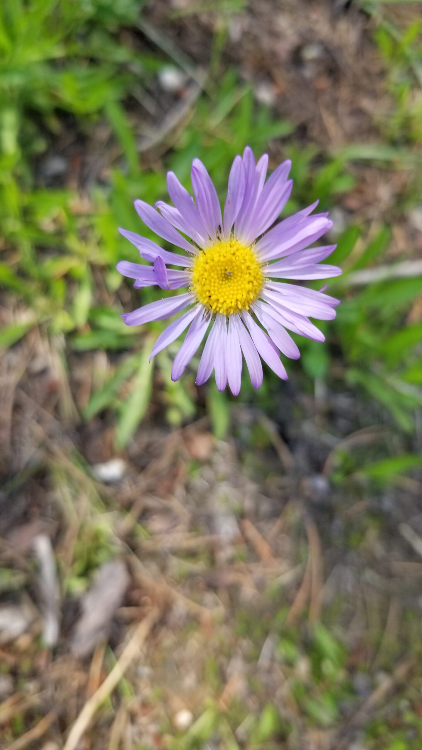
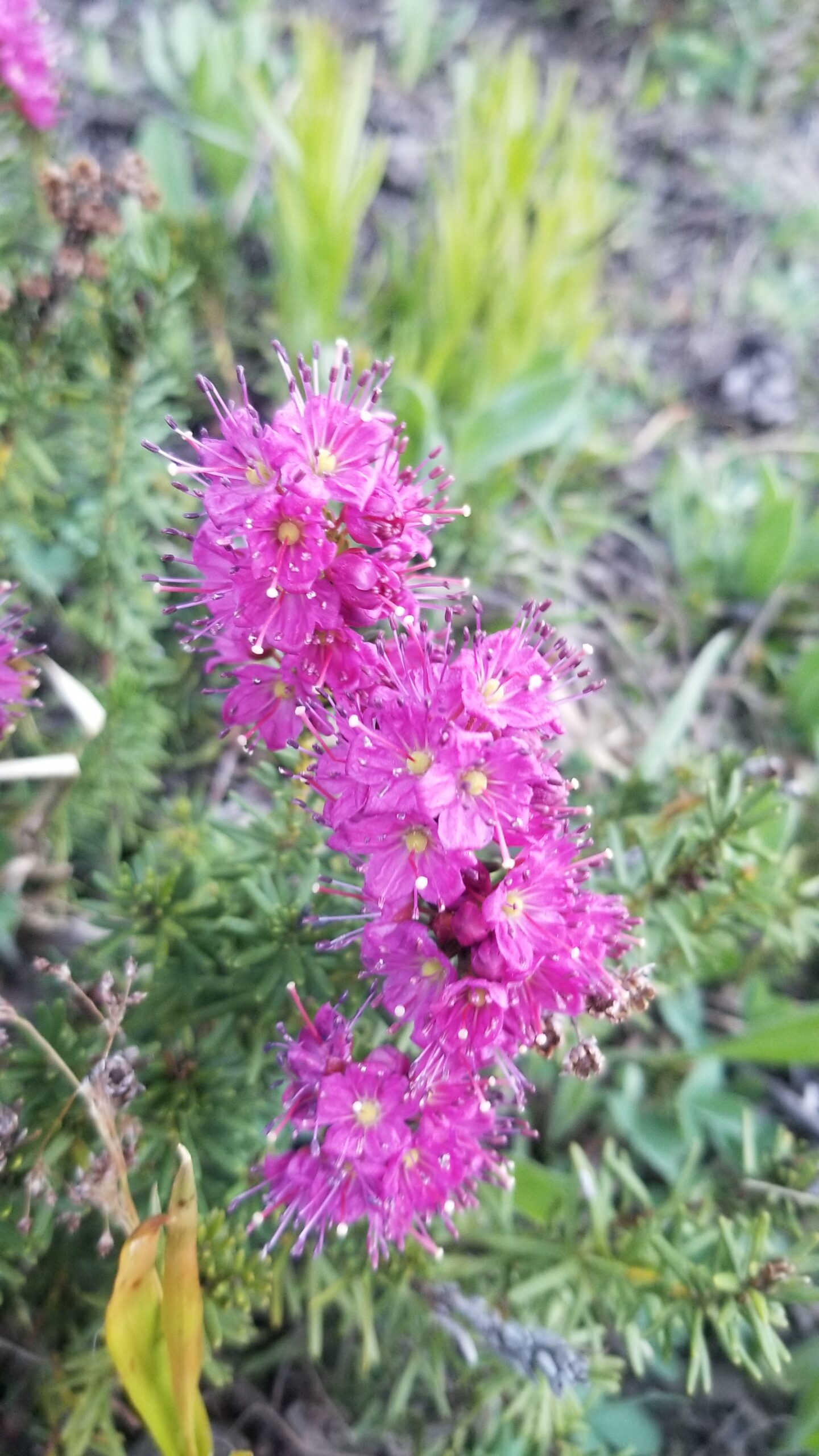
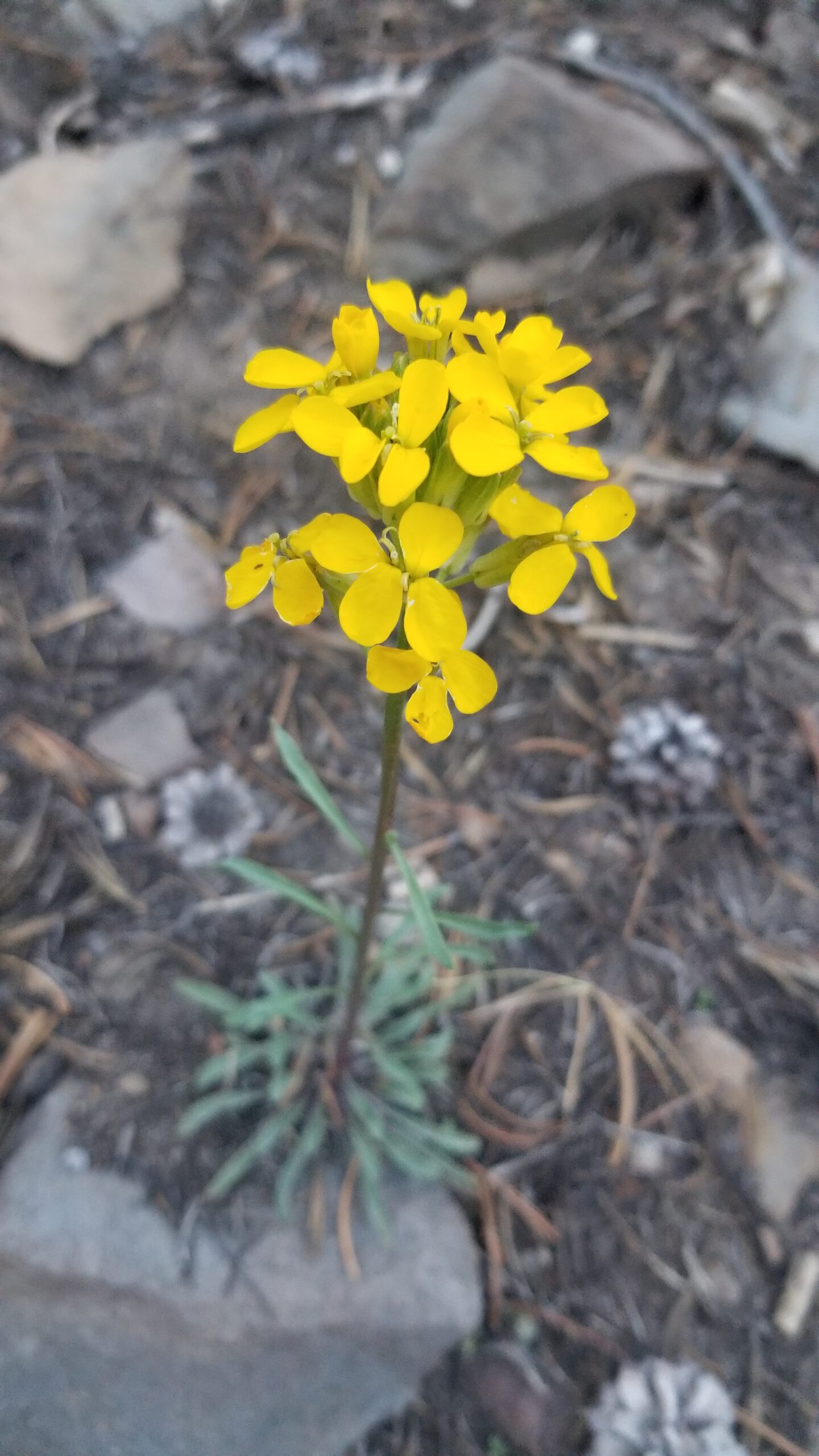
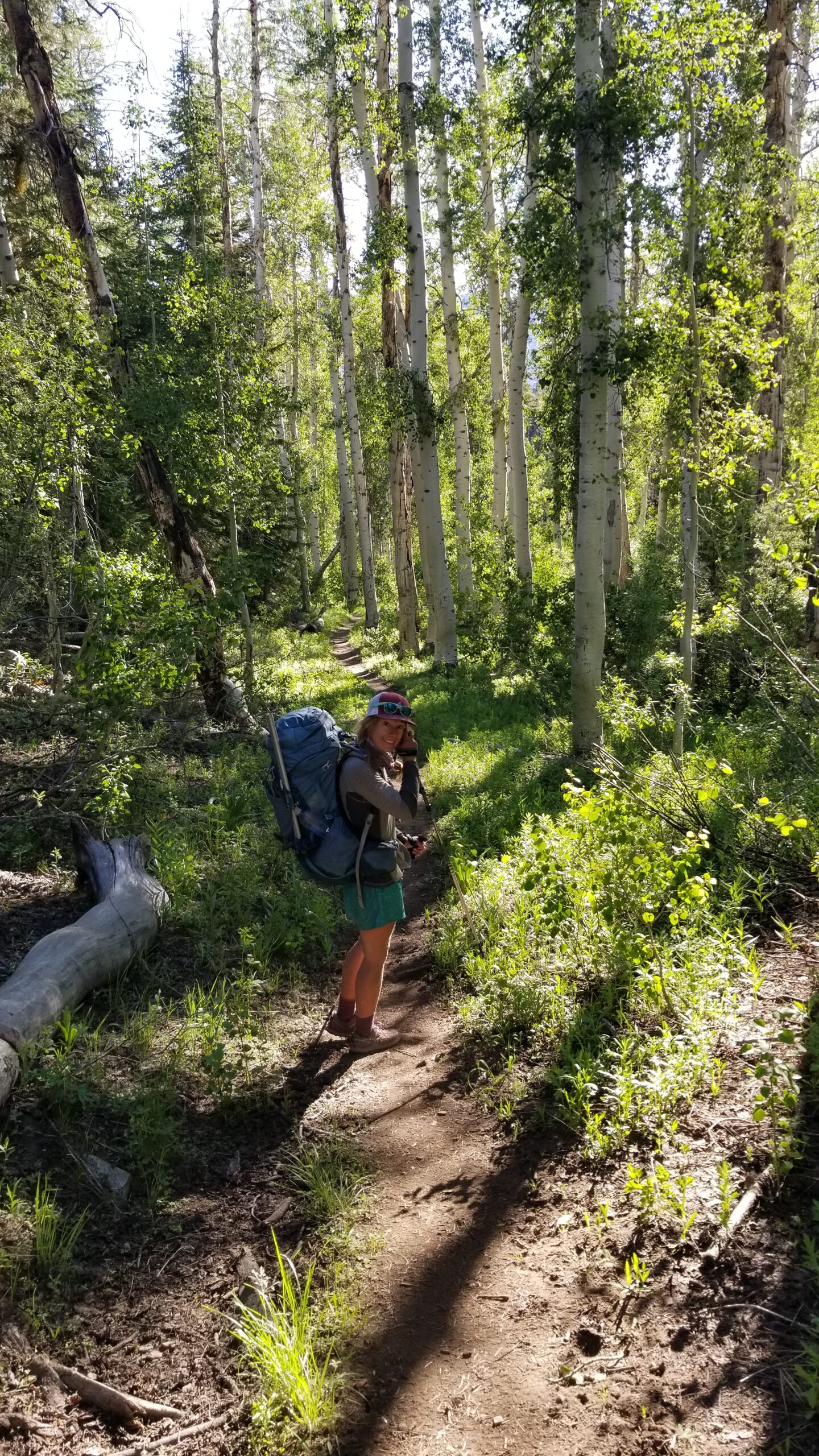
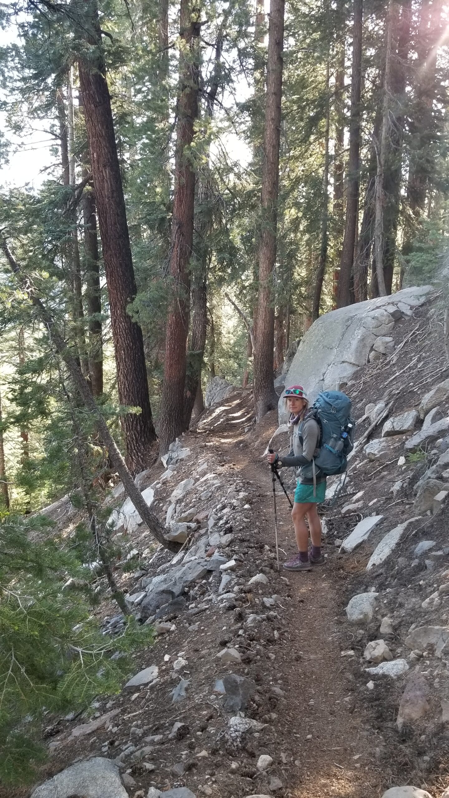
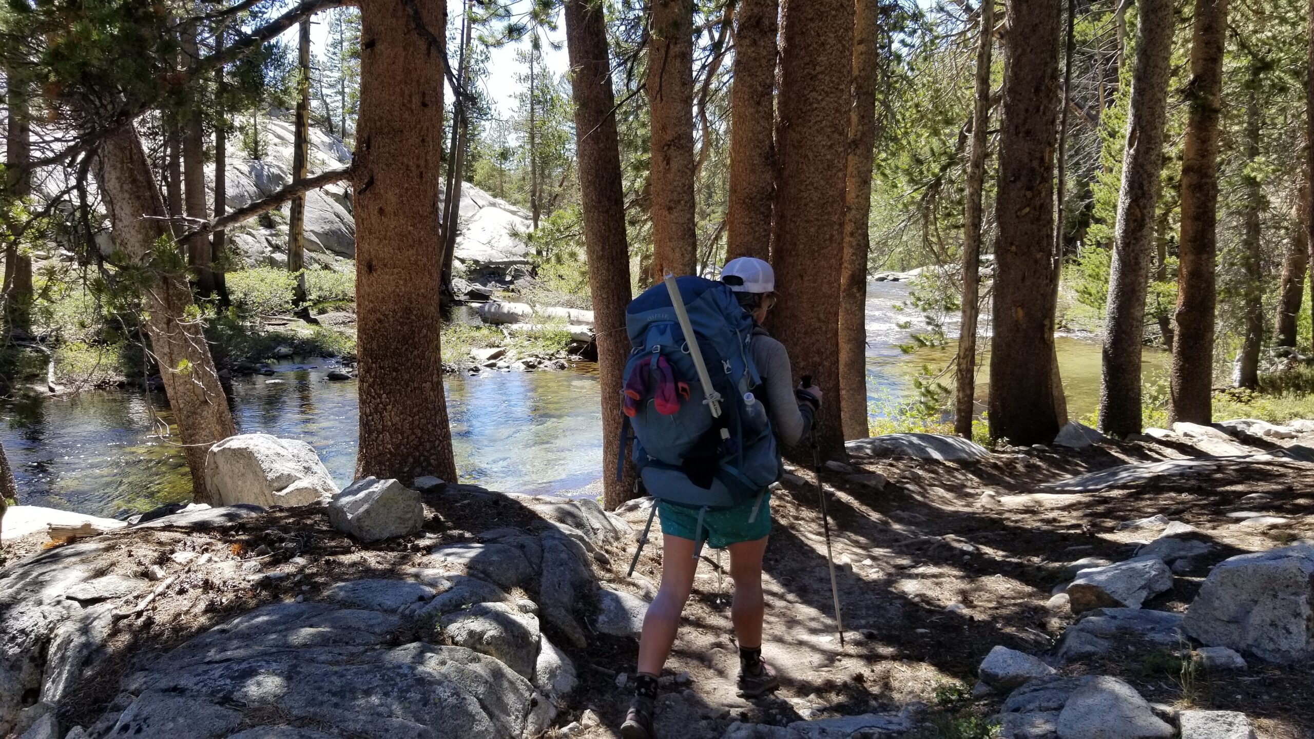
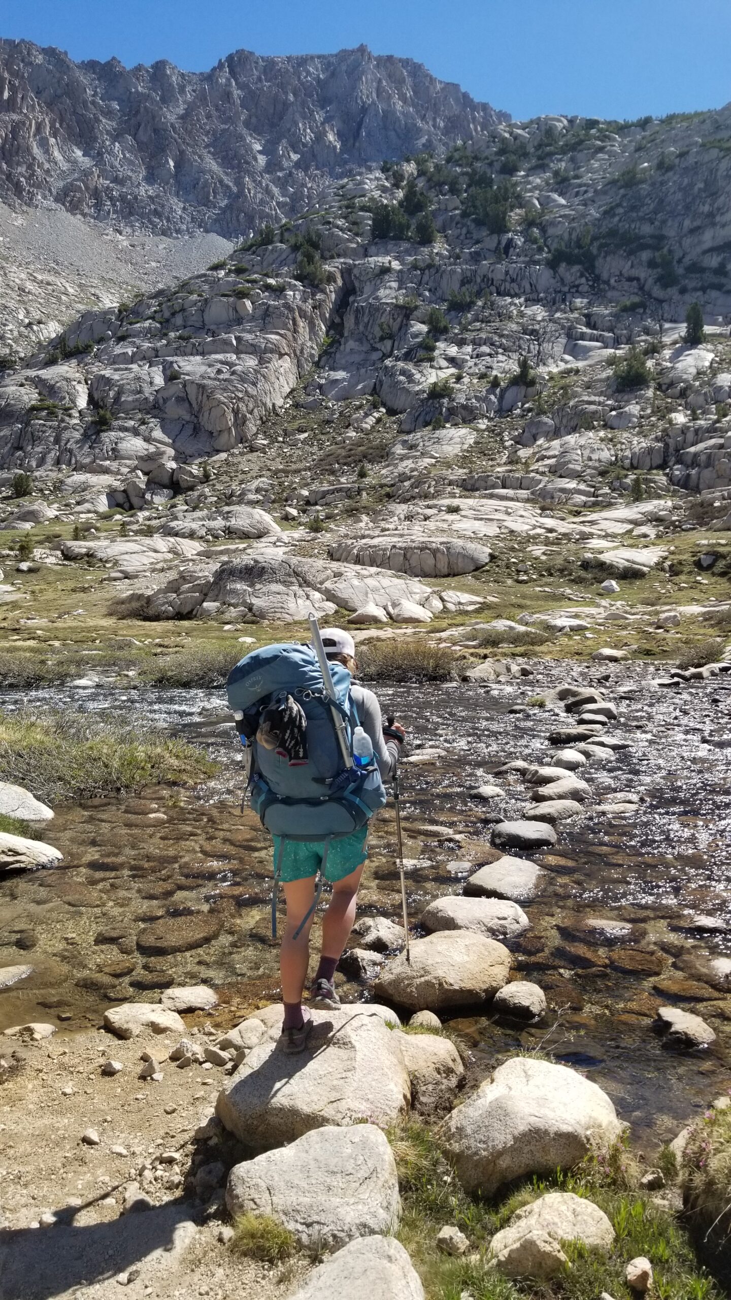
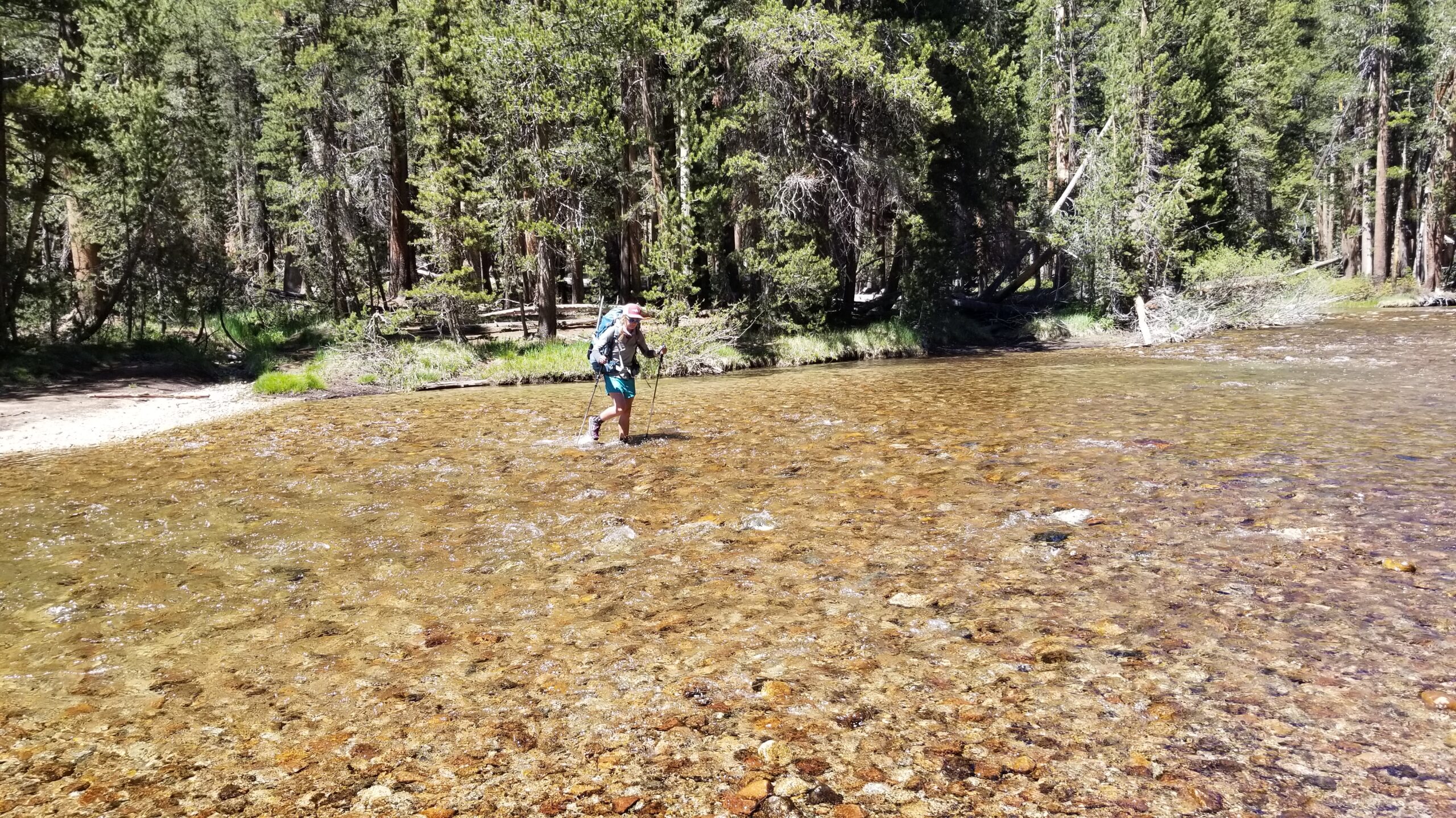
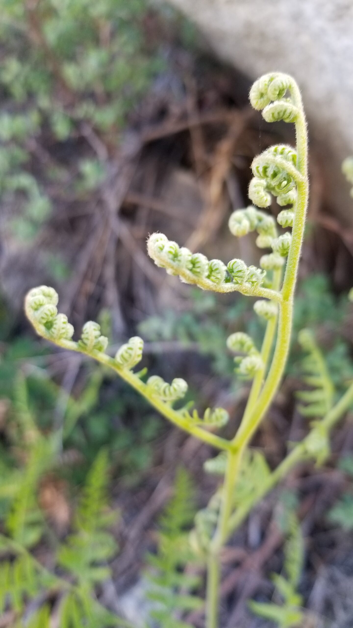
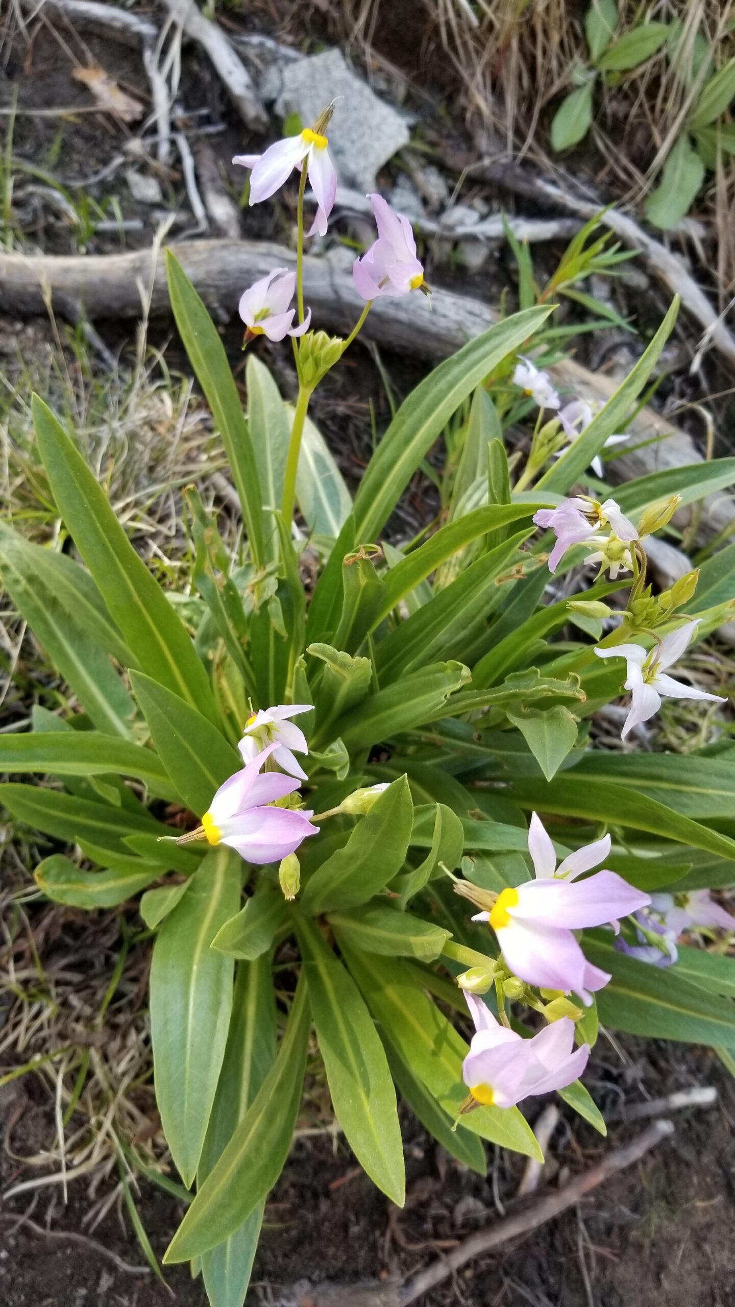
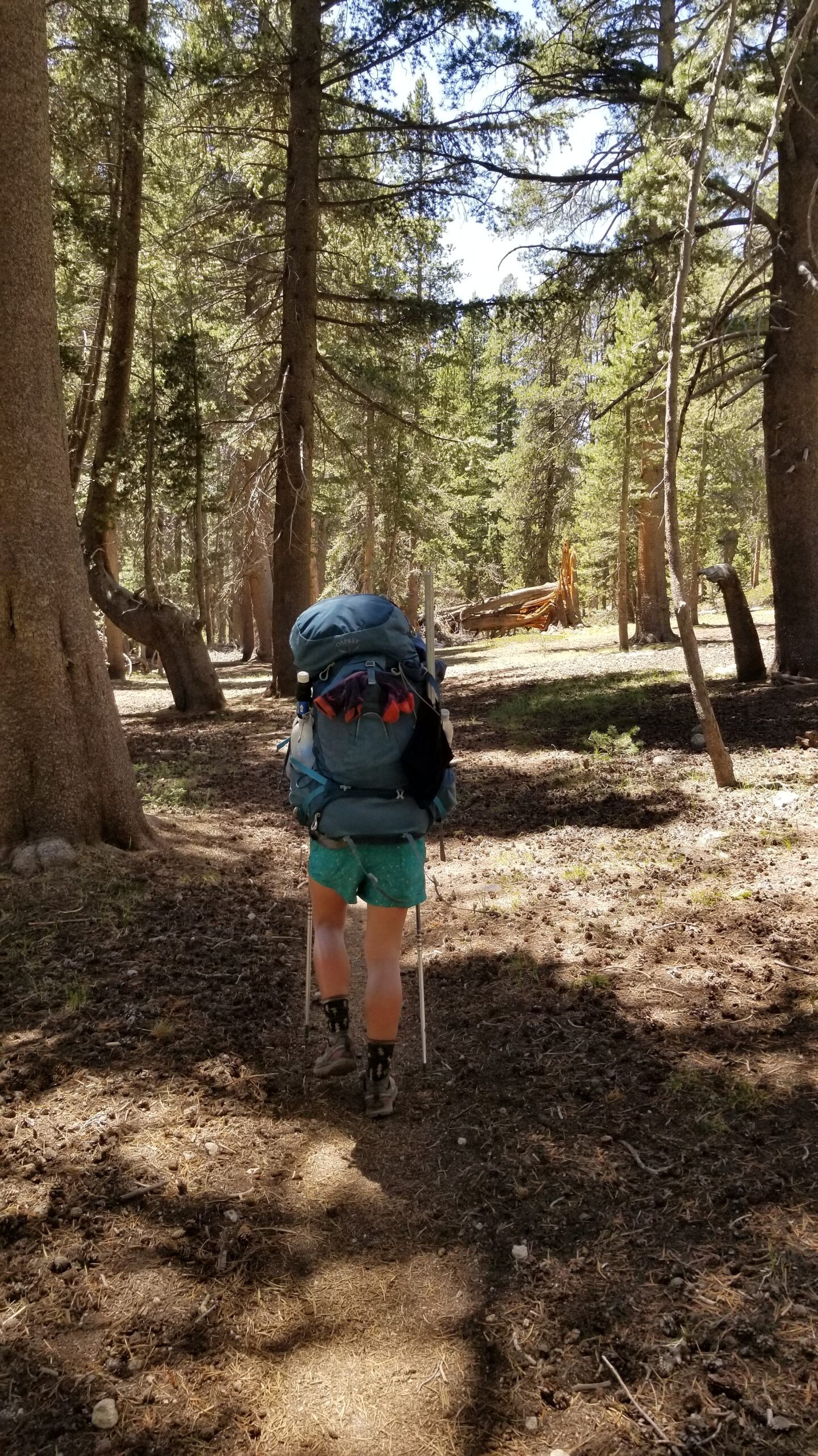
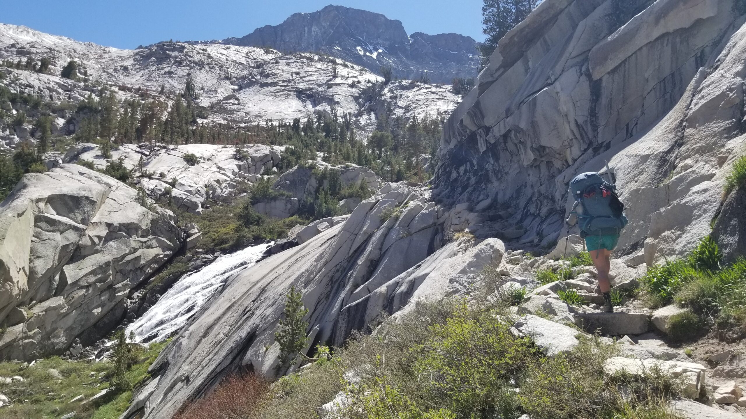
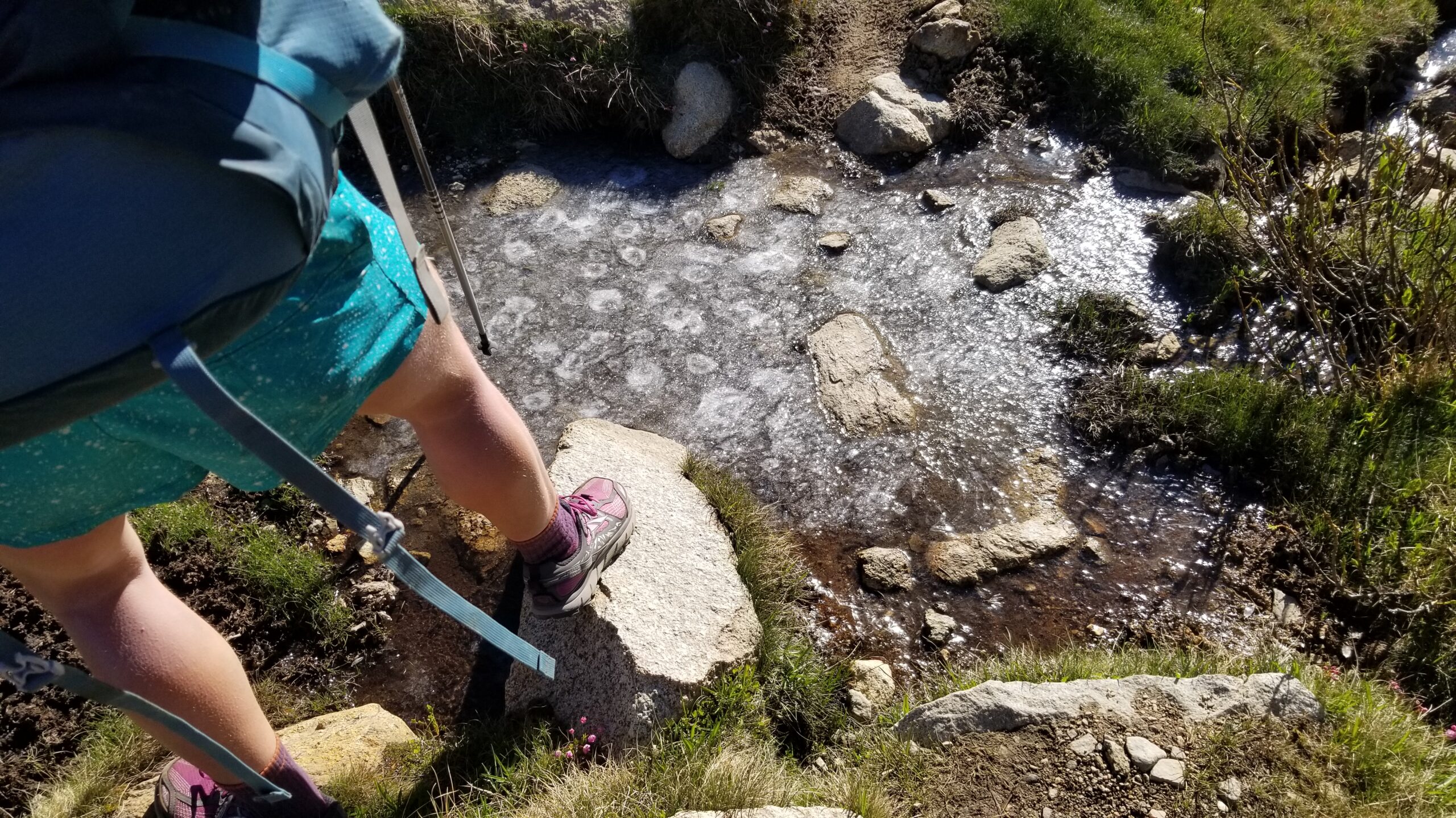
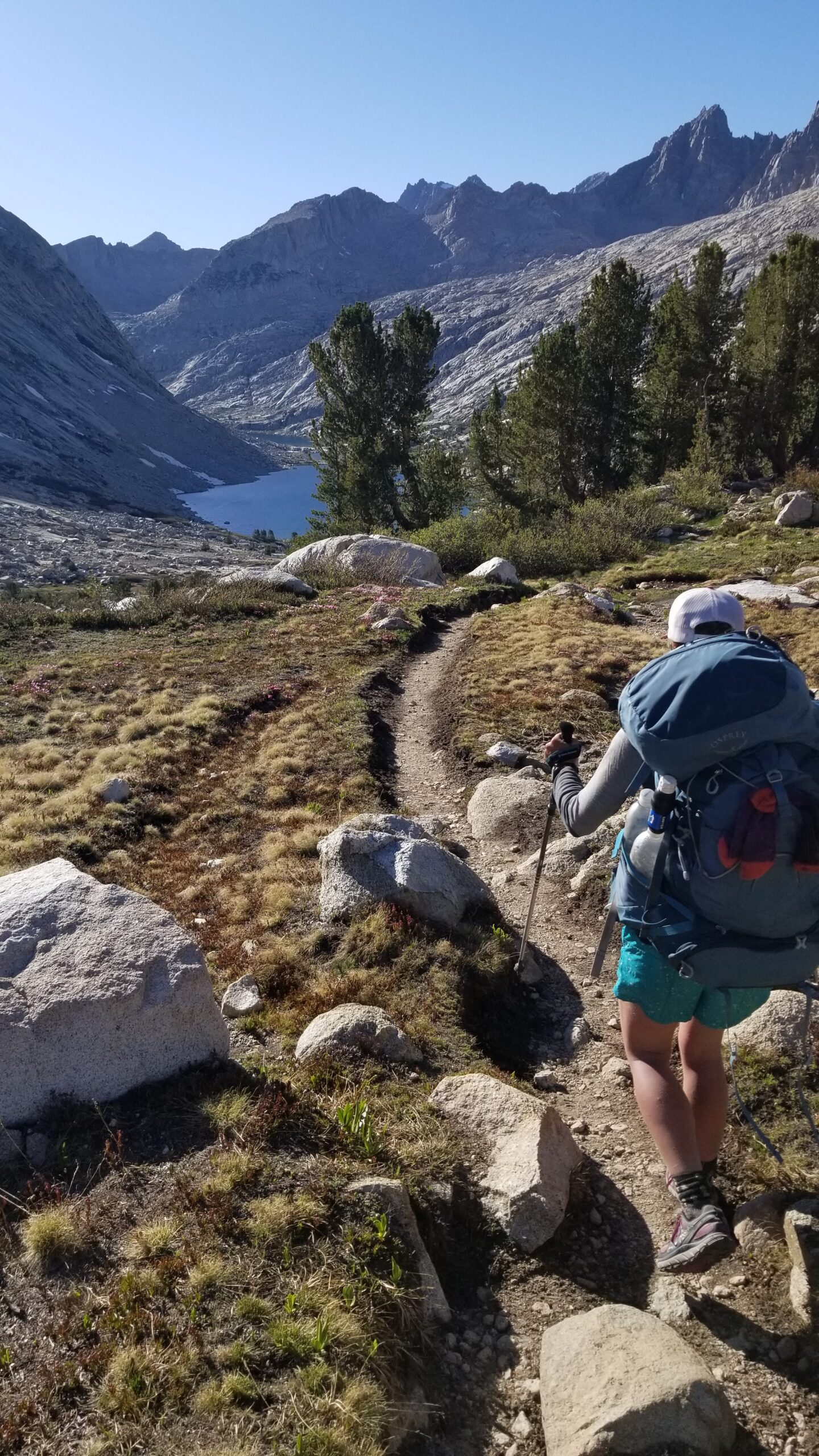
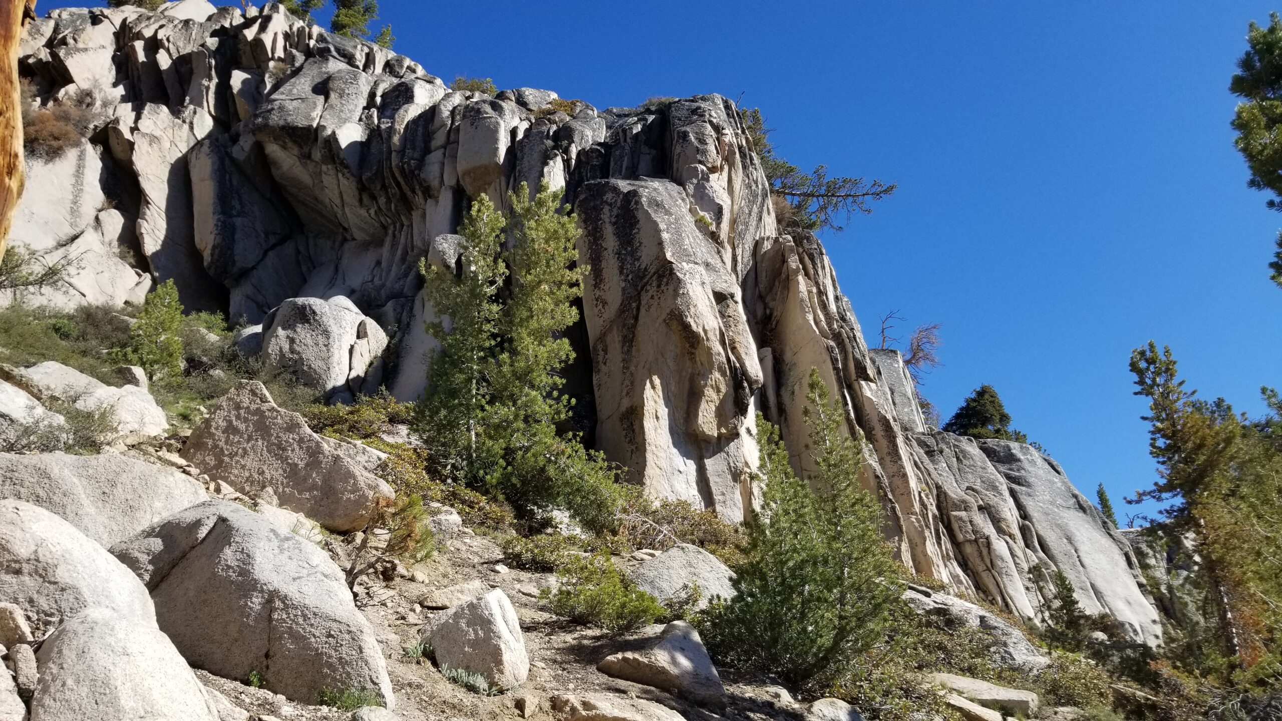
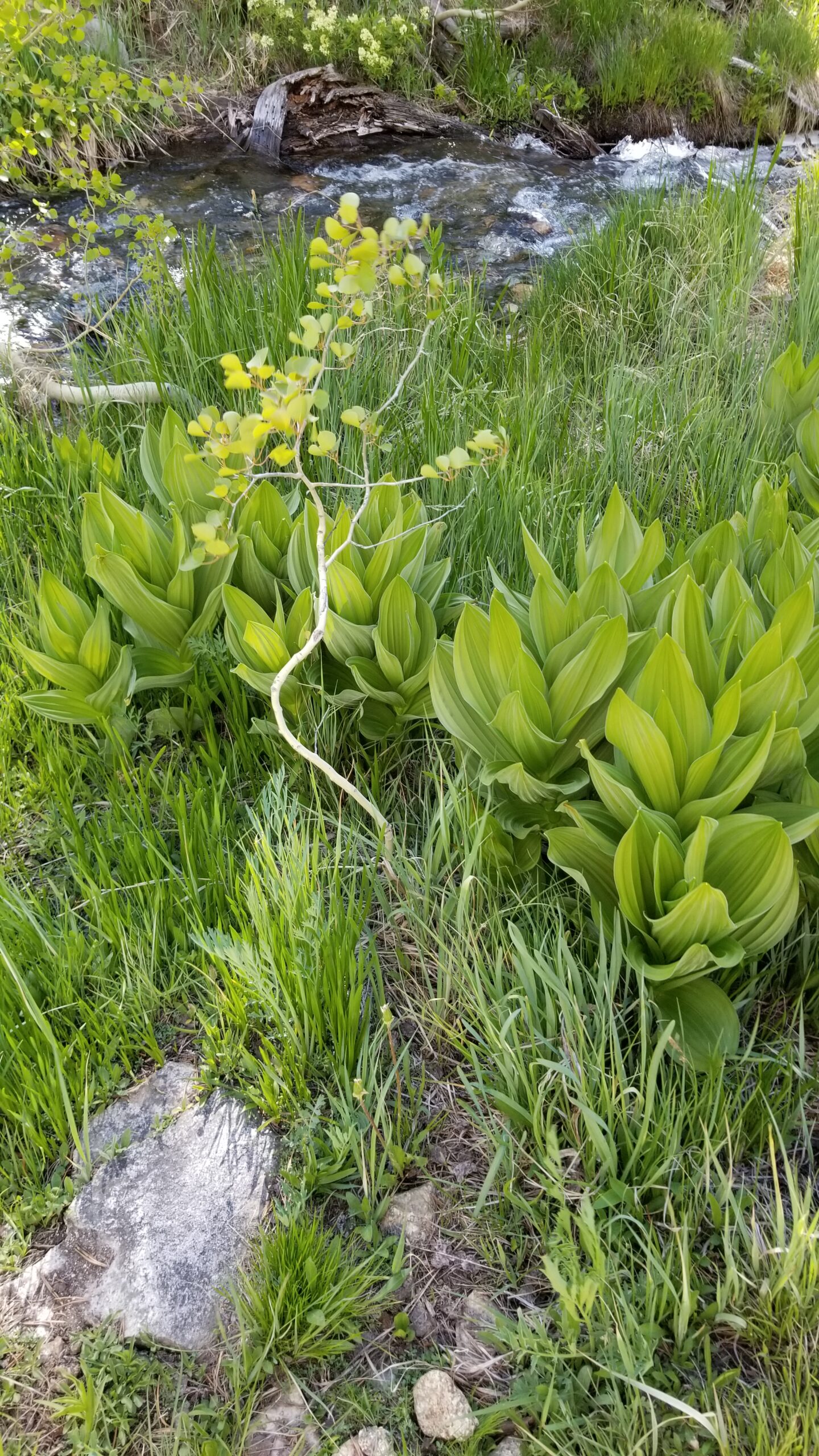
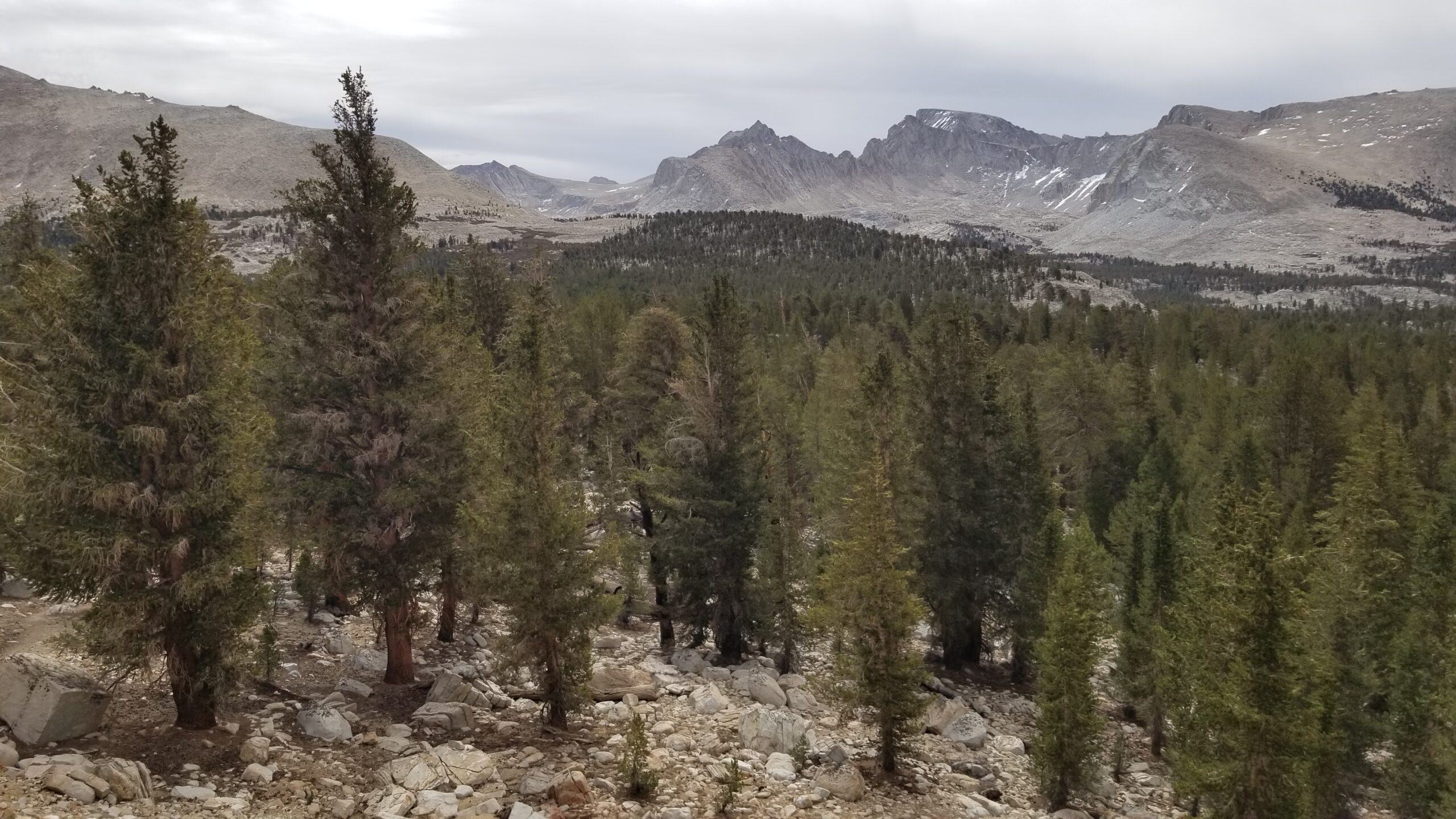
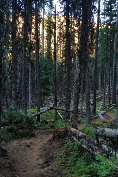
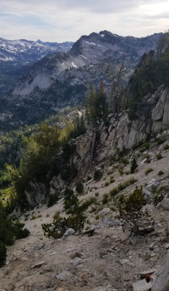
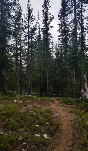
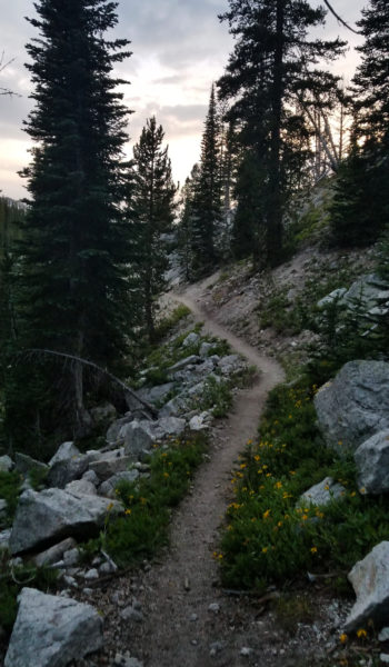
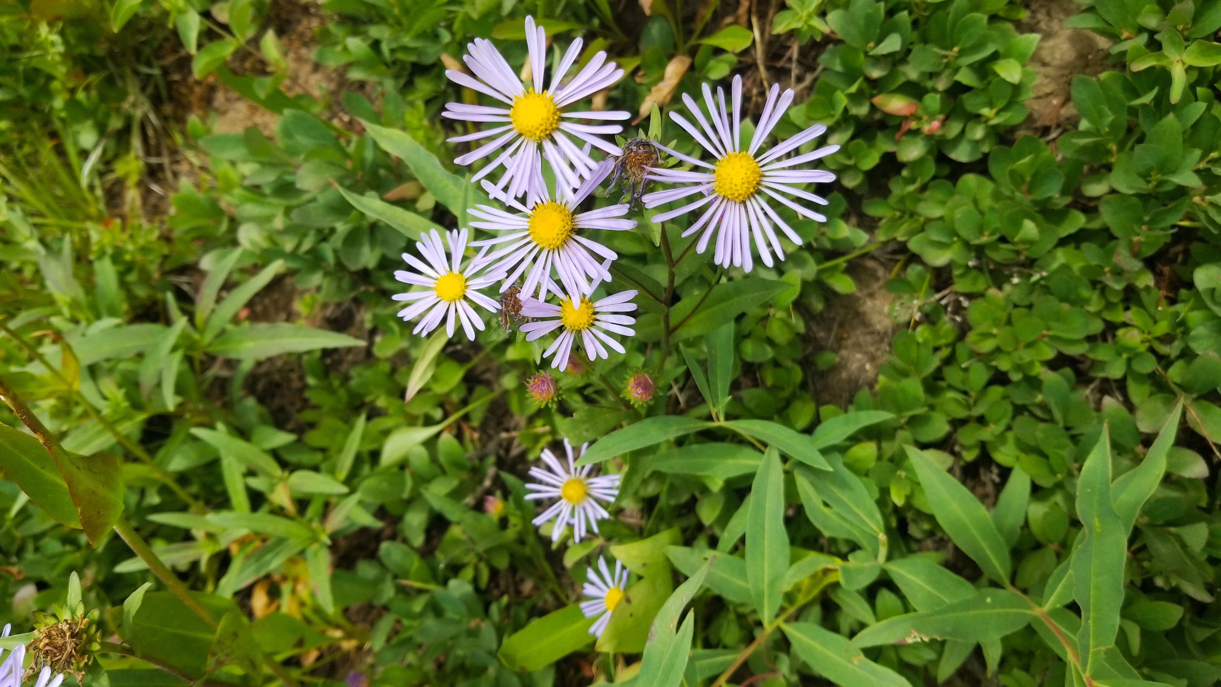
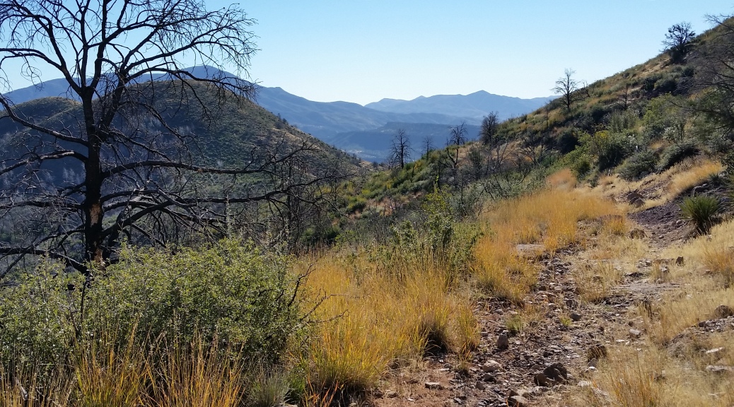
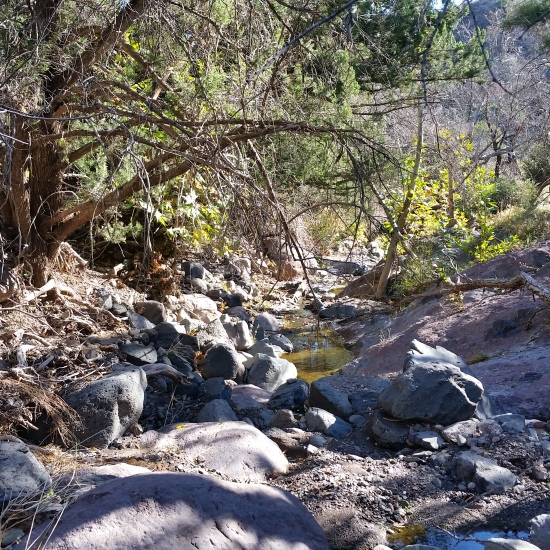
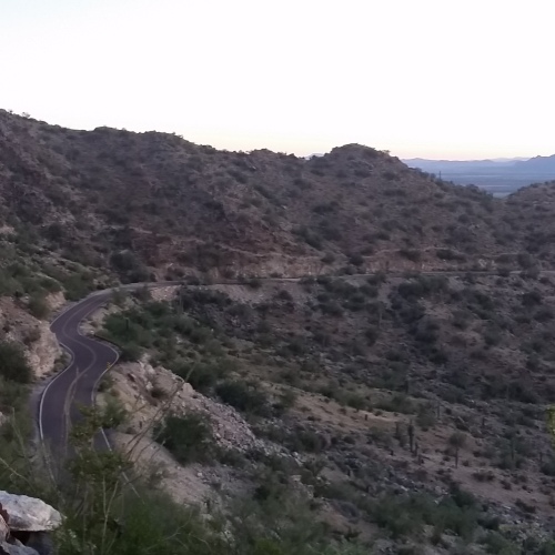
The river snaked through the base of Lyell Canyon proper and our trail descended through granite, into and out of the trees. Not only could you hear the river as it neared the trail but you could also find the Solomon’s seal, the water loving plants, the temperature dropped and we enjoyed the cool walk next to the gurgling creek.
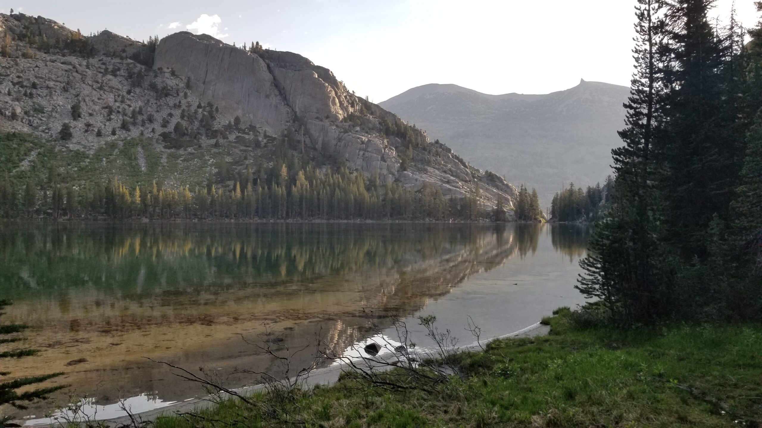
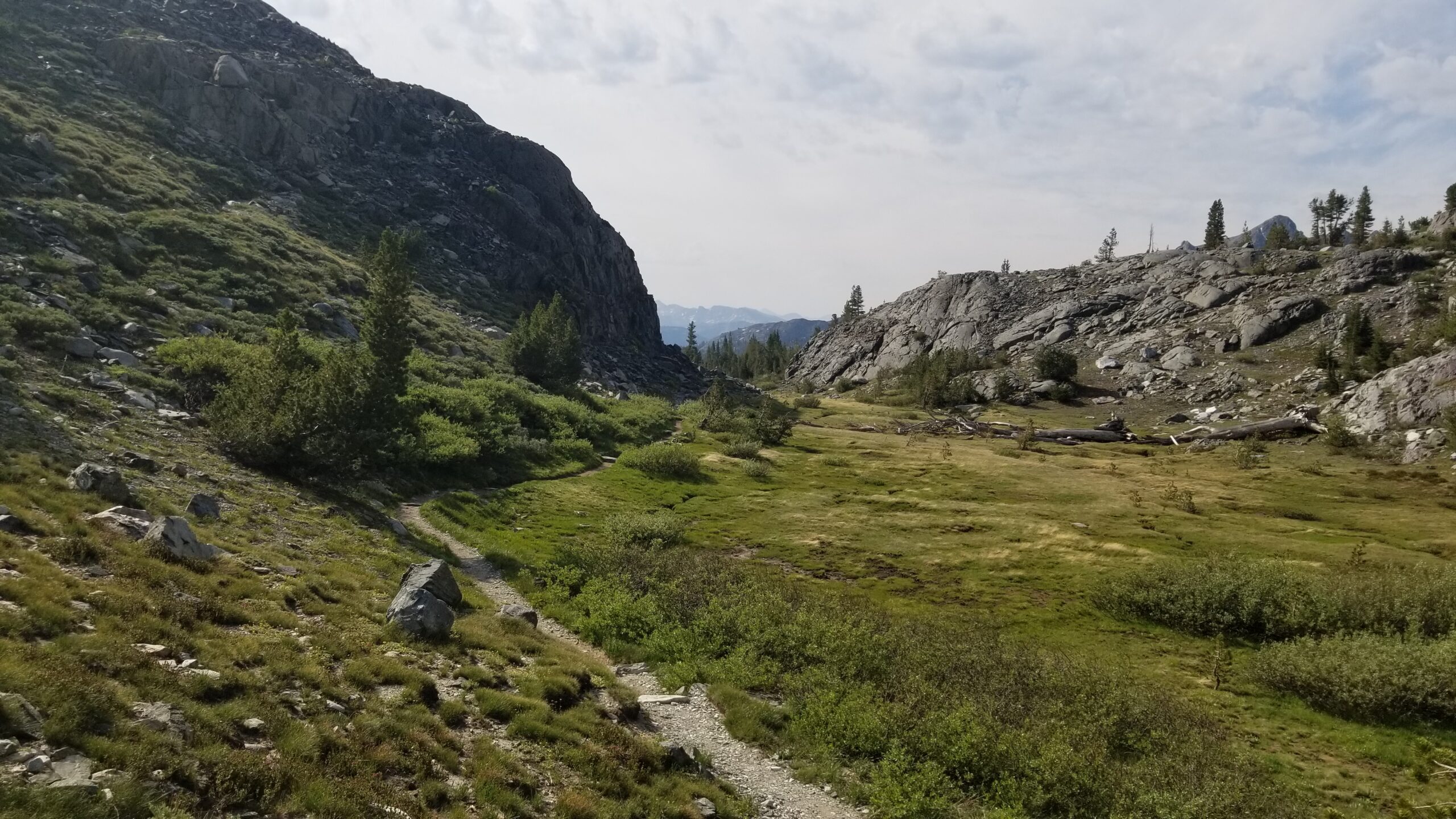
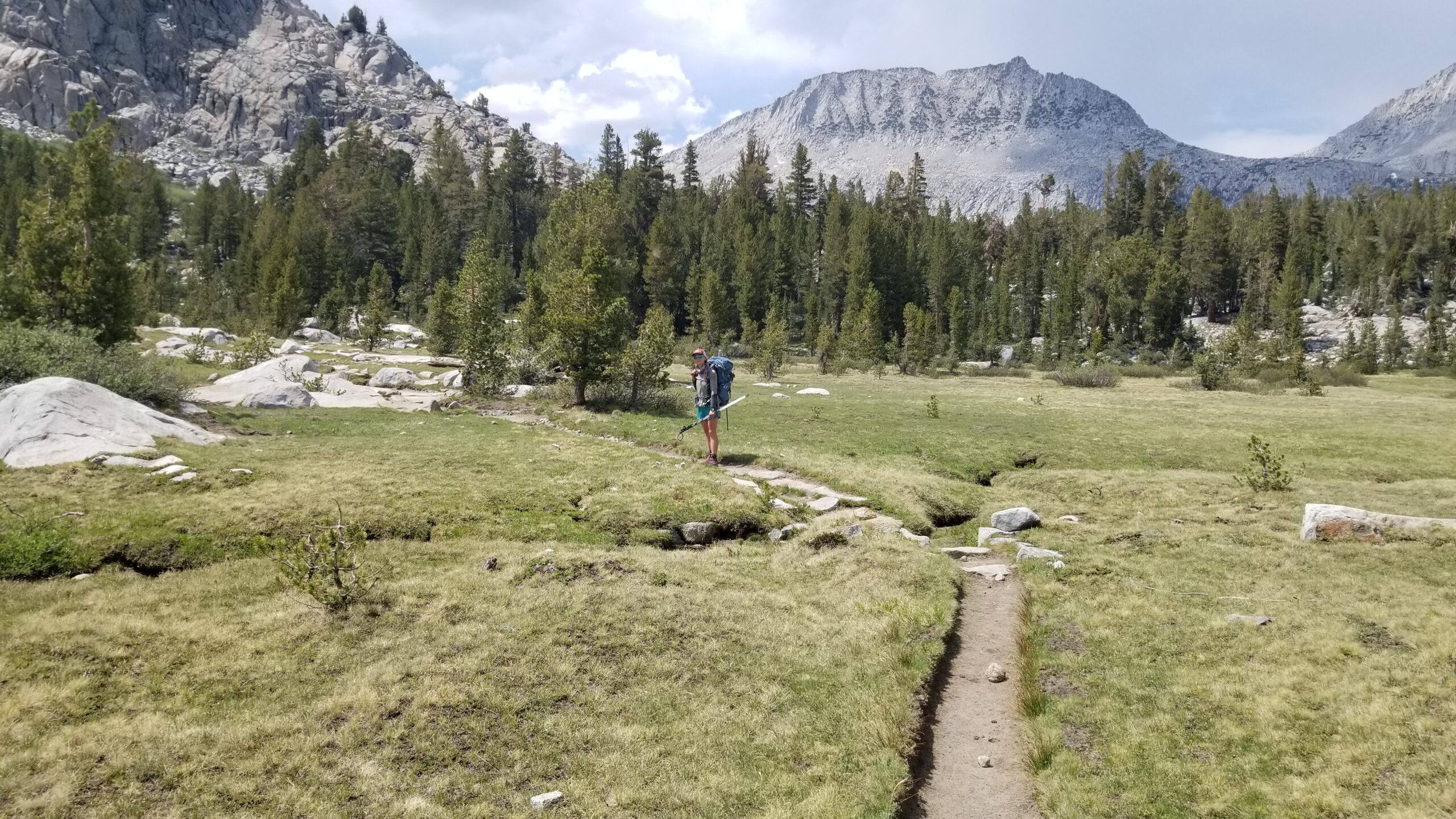
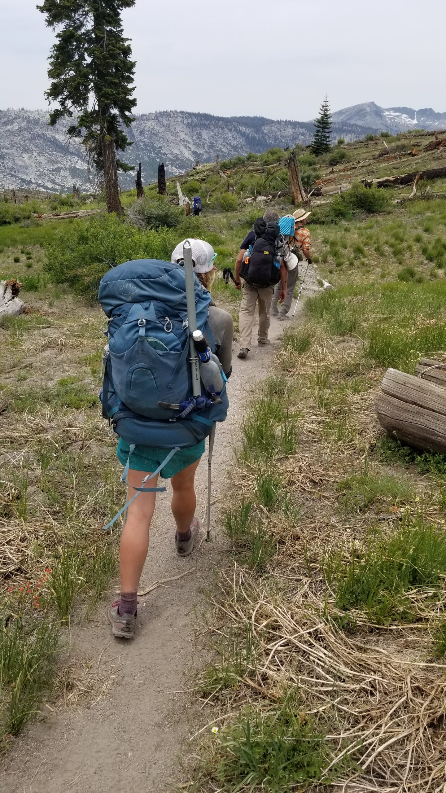
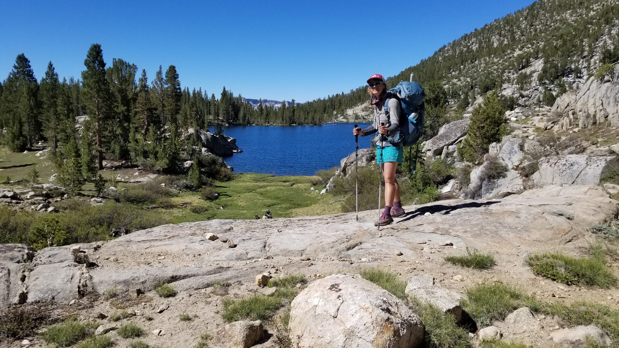
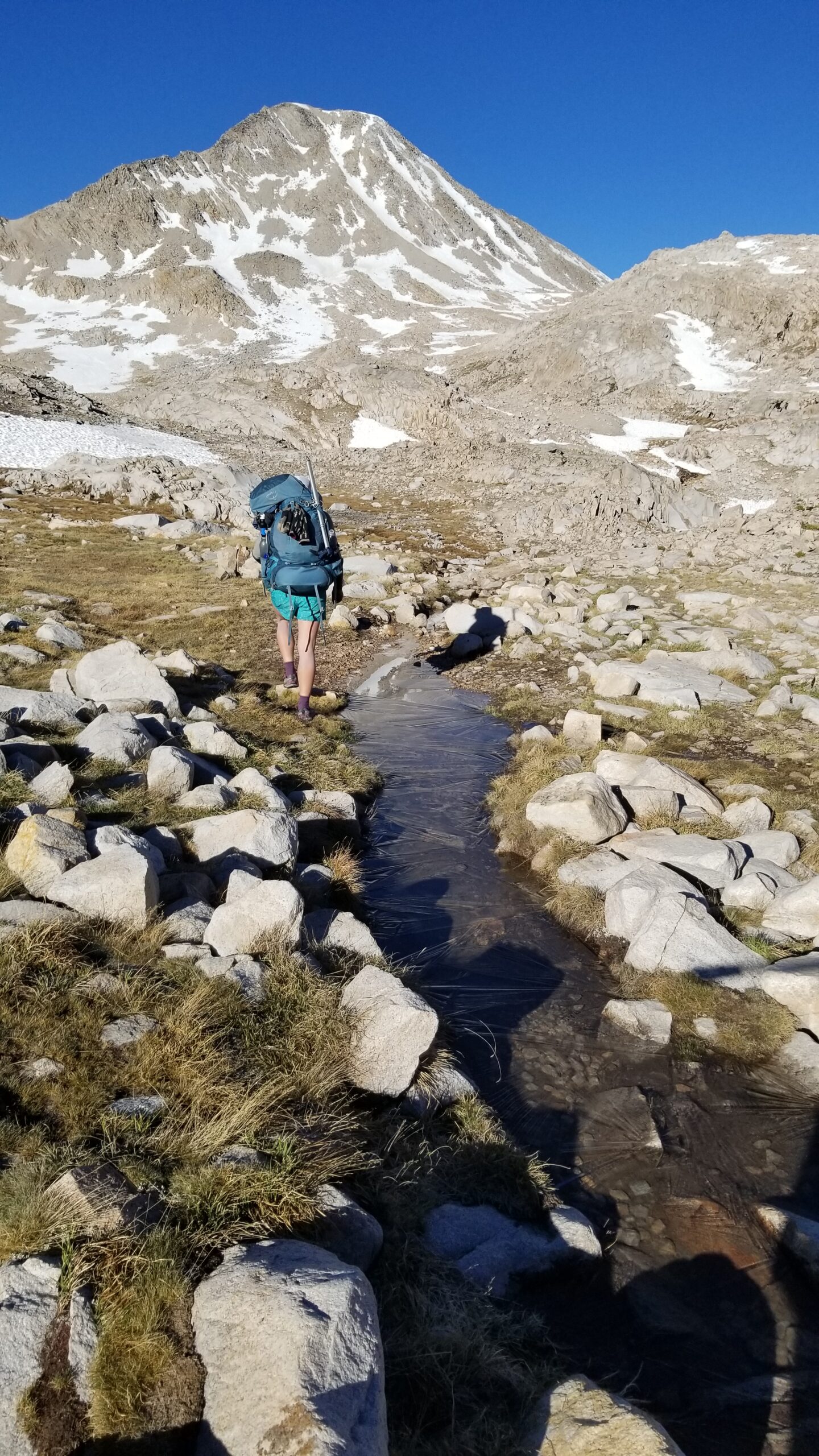
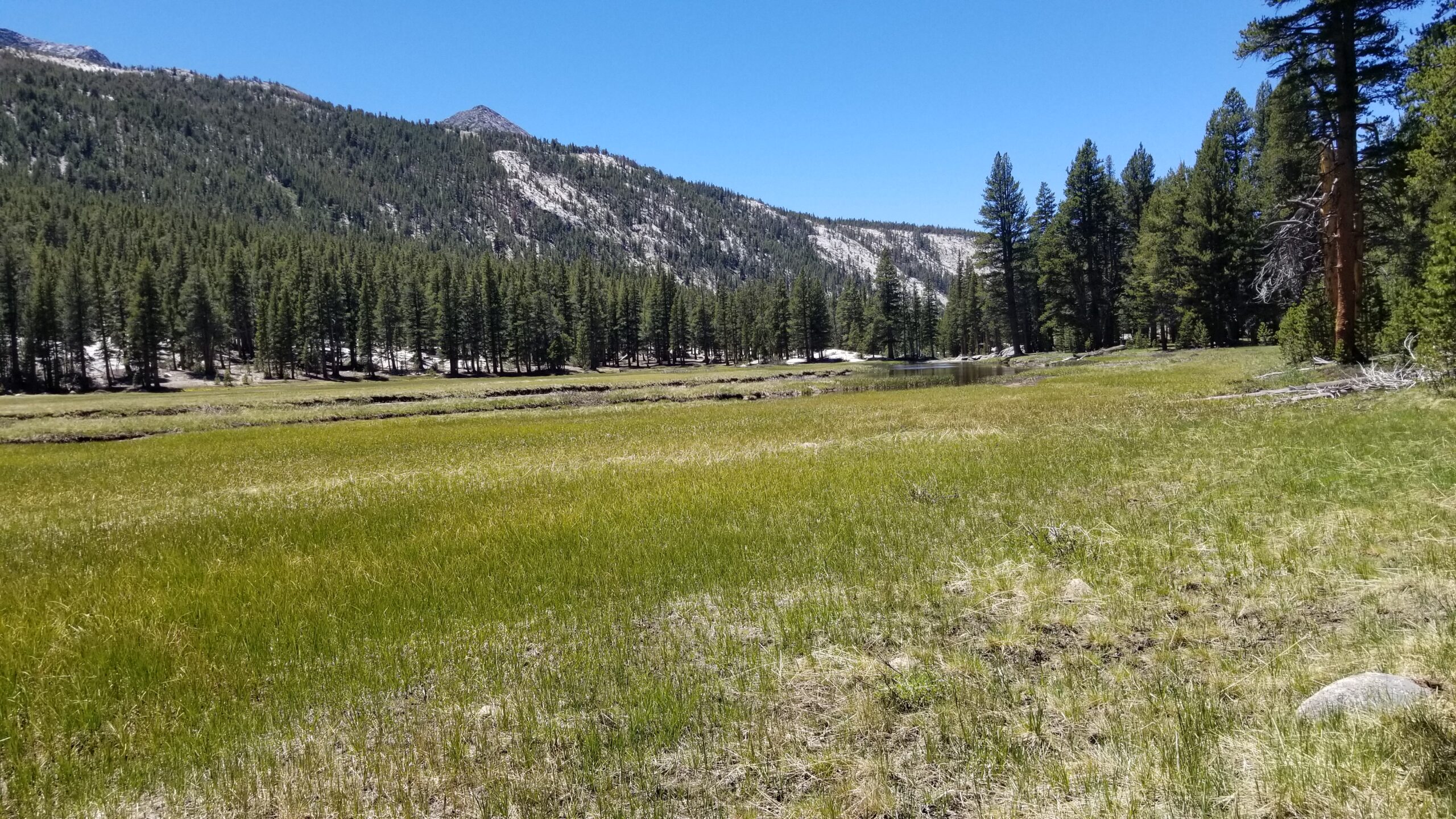
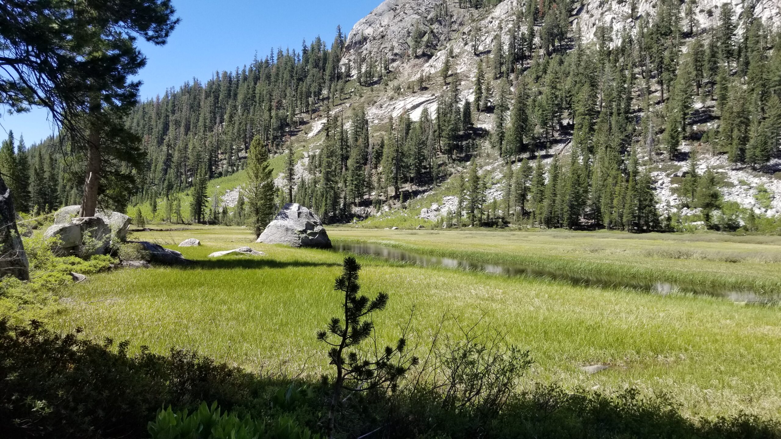
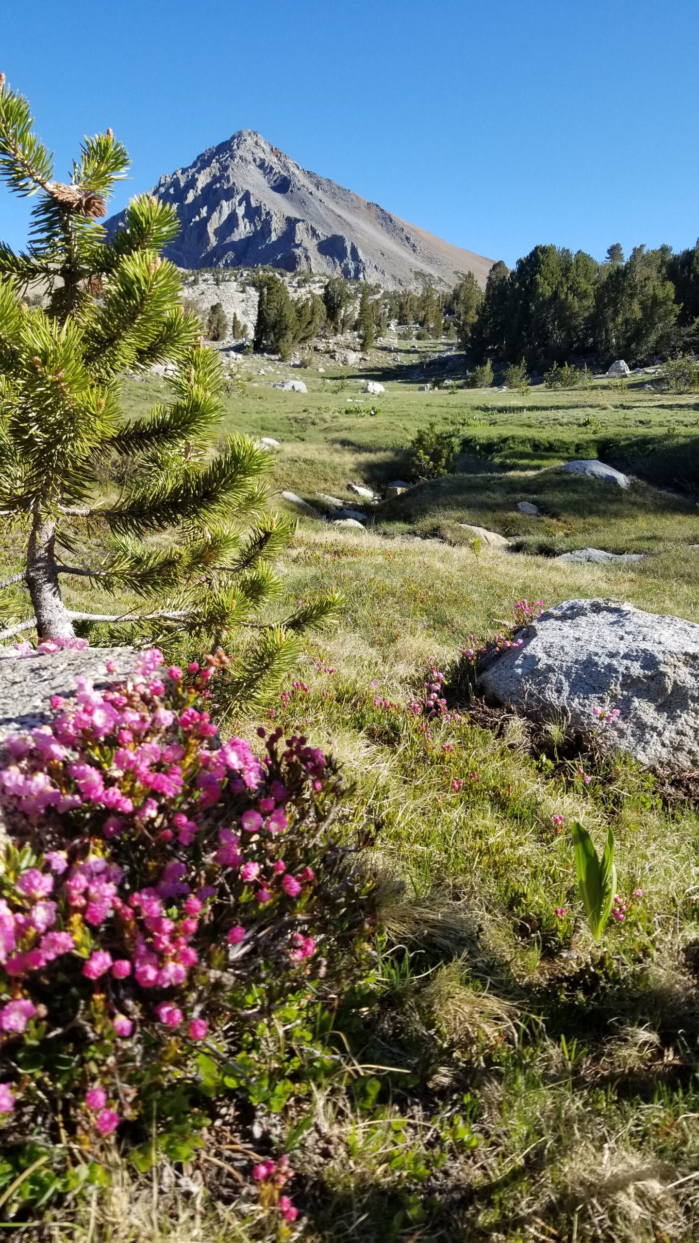
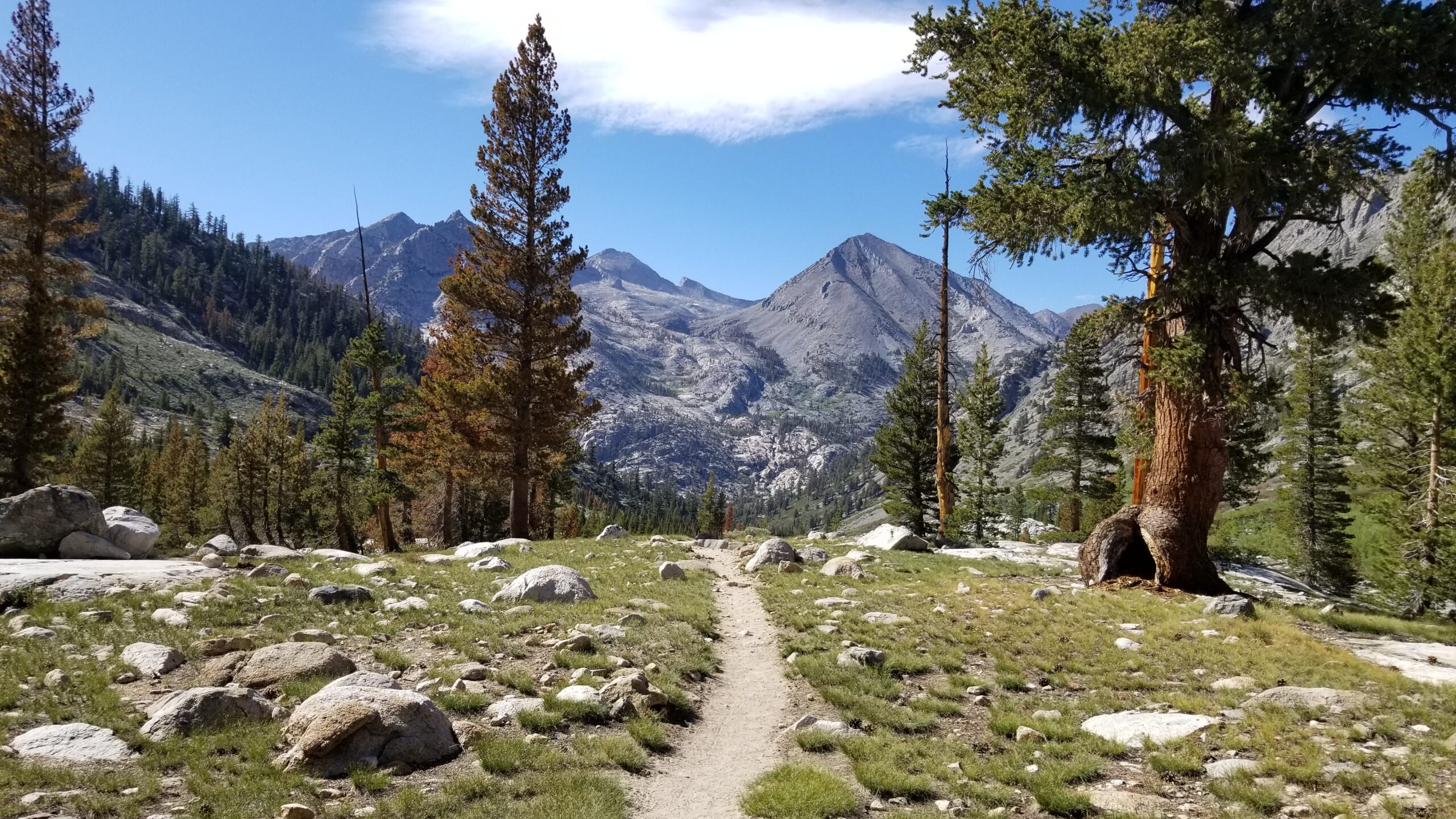
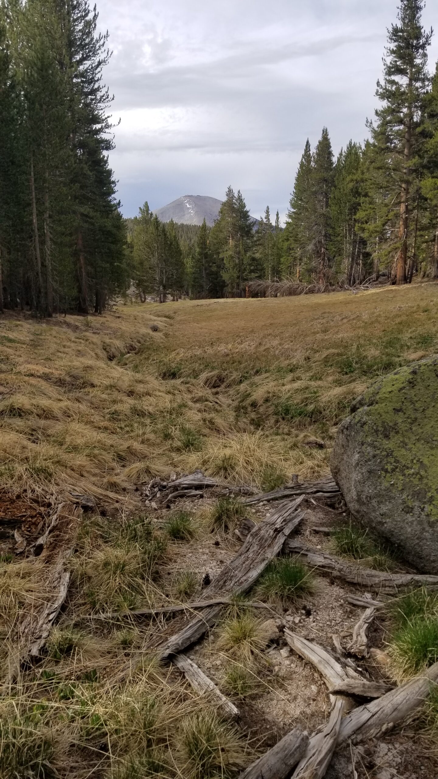
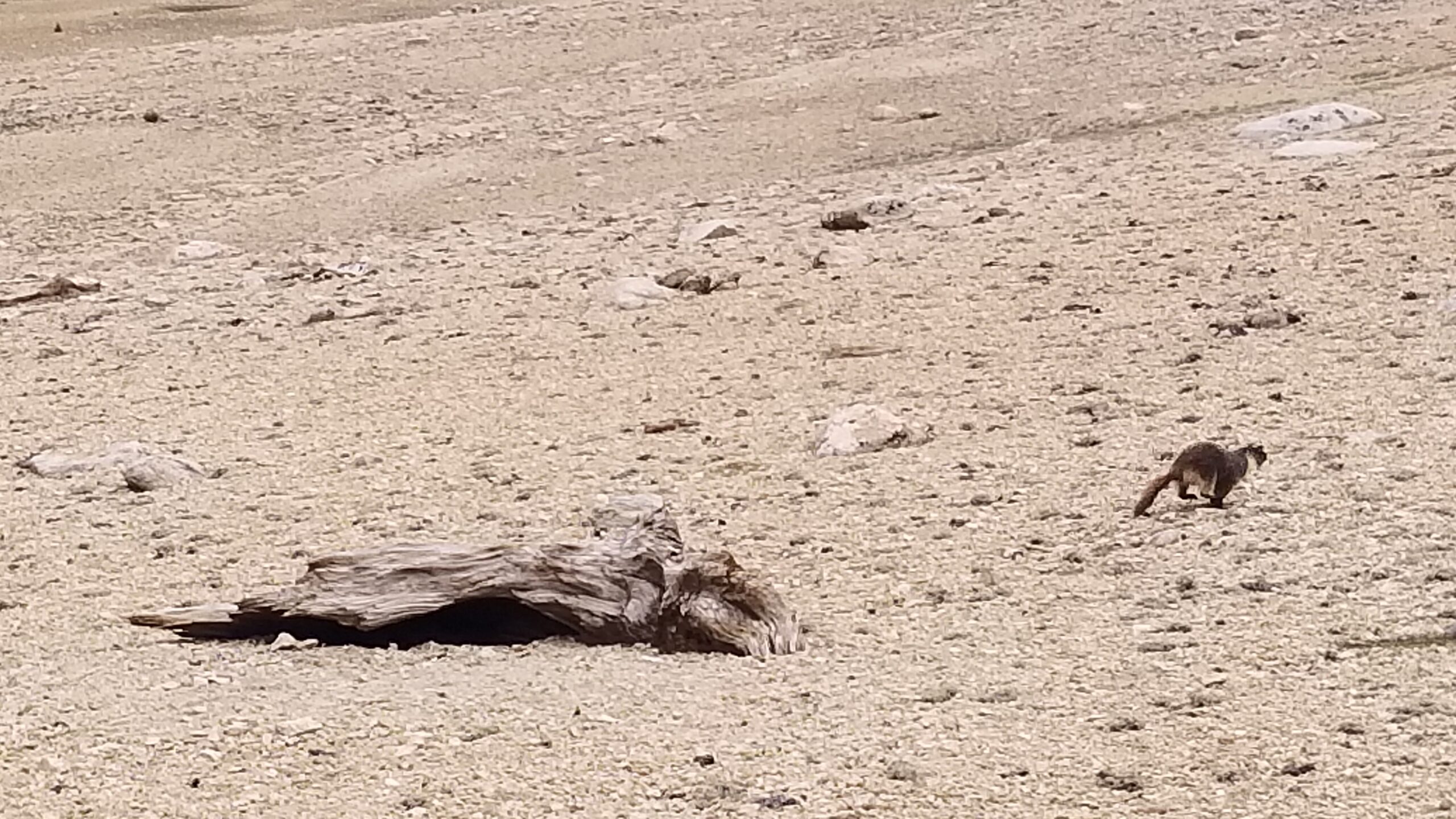
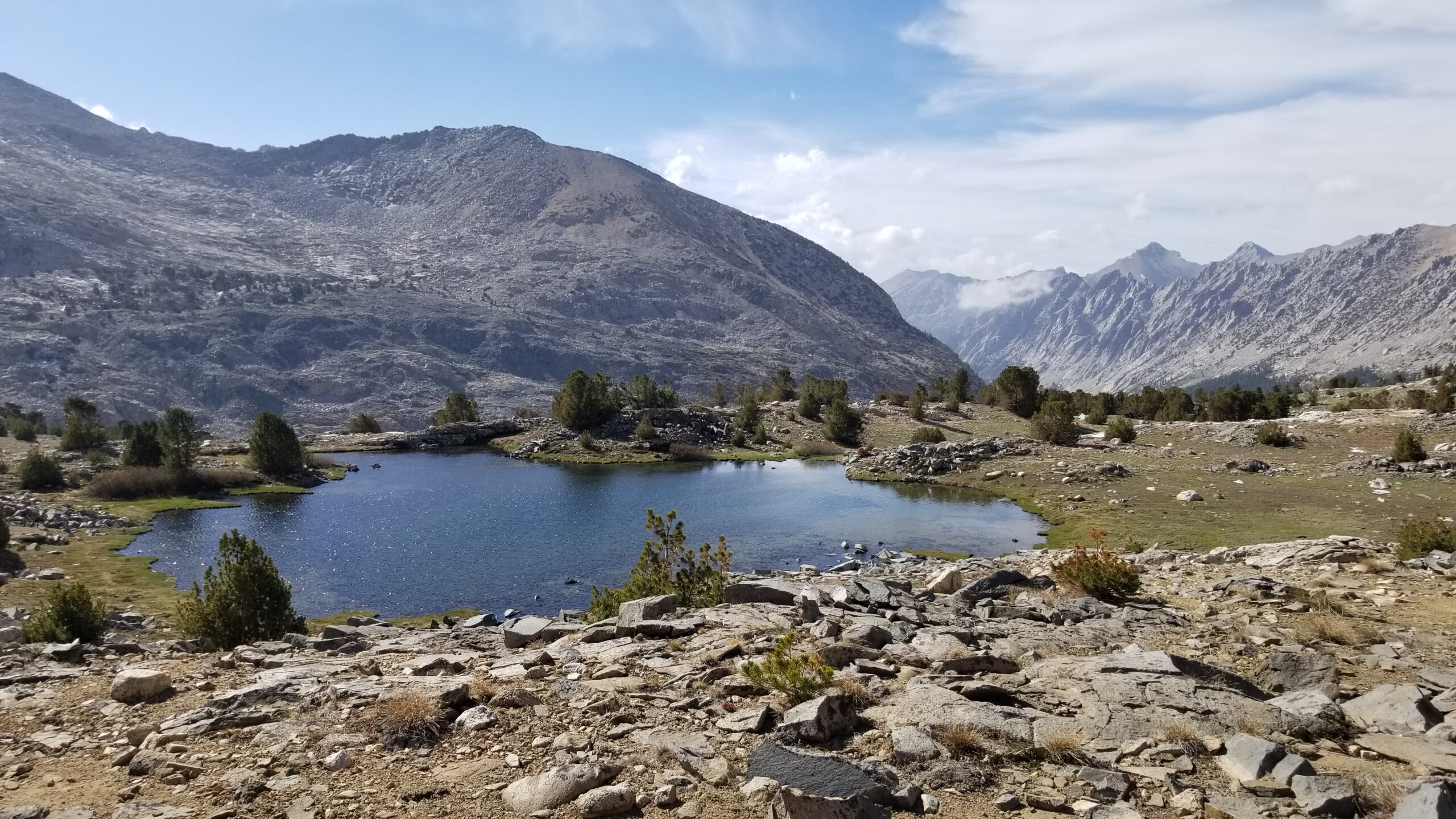
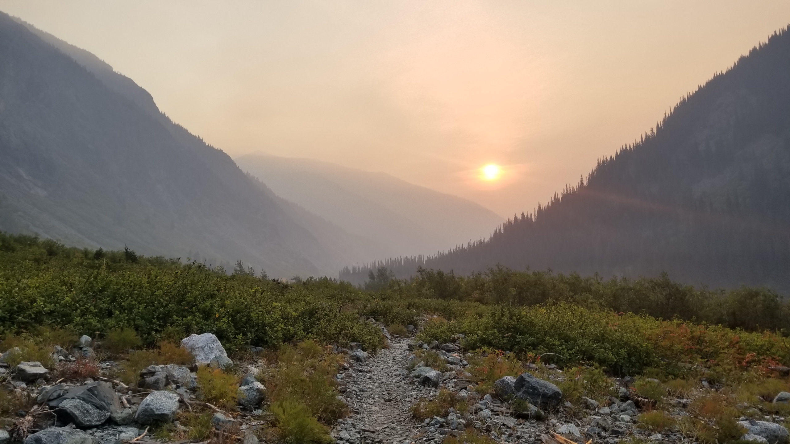
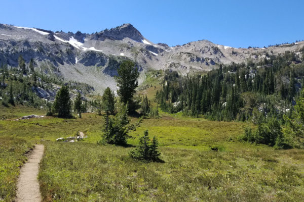
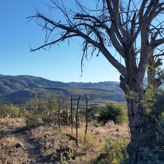
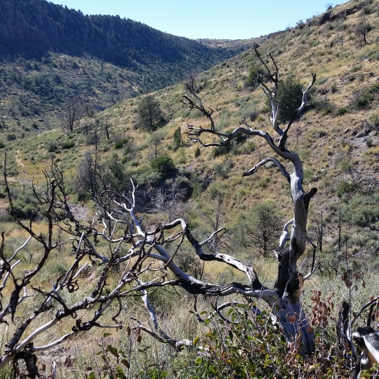
We finally hit Lyell Canyon bottom, which was carpeted with lush green grass, forgiving on the feet, flat, soft, and easy to make miles. There were a few deer grazing near the creek in the distance, we paused for a moment to appreciate them and wondered if there would be more if there wasn’t a trail carved through the valley bottom.

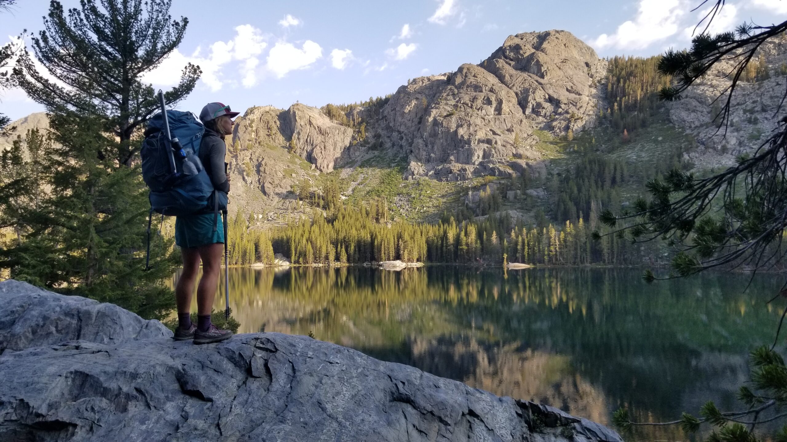
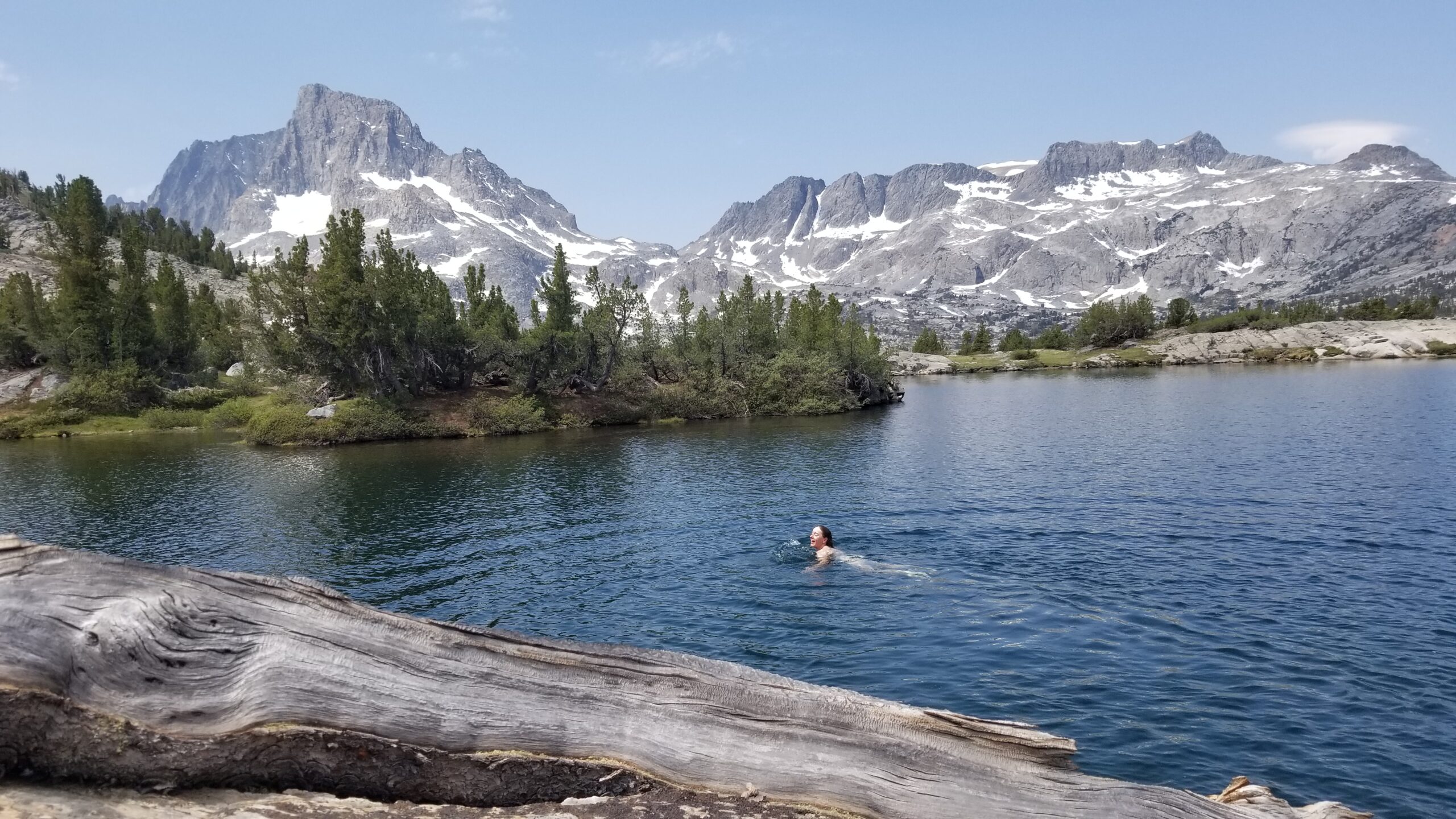
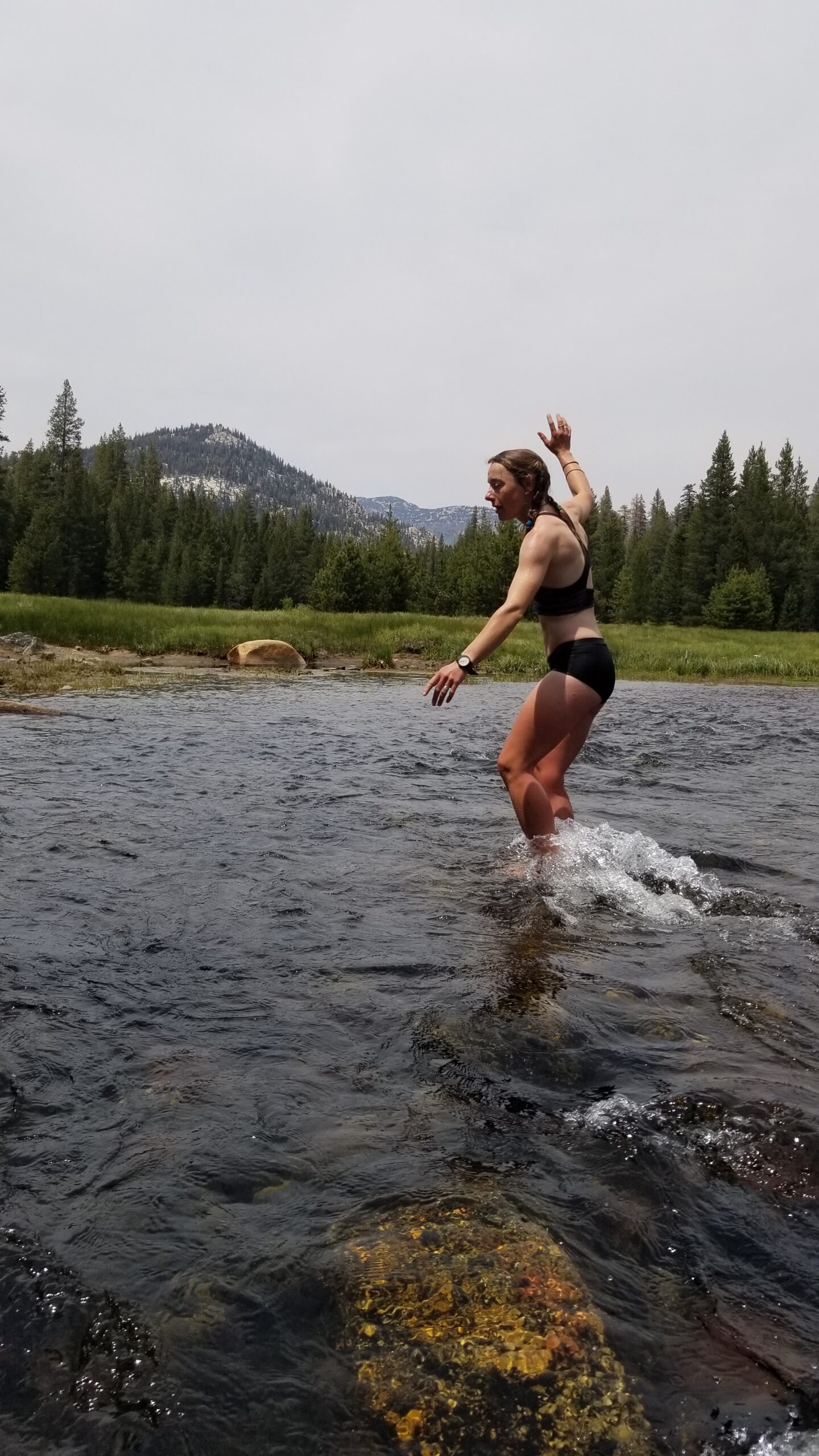
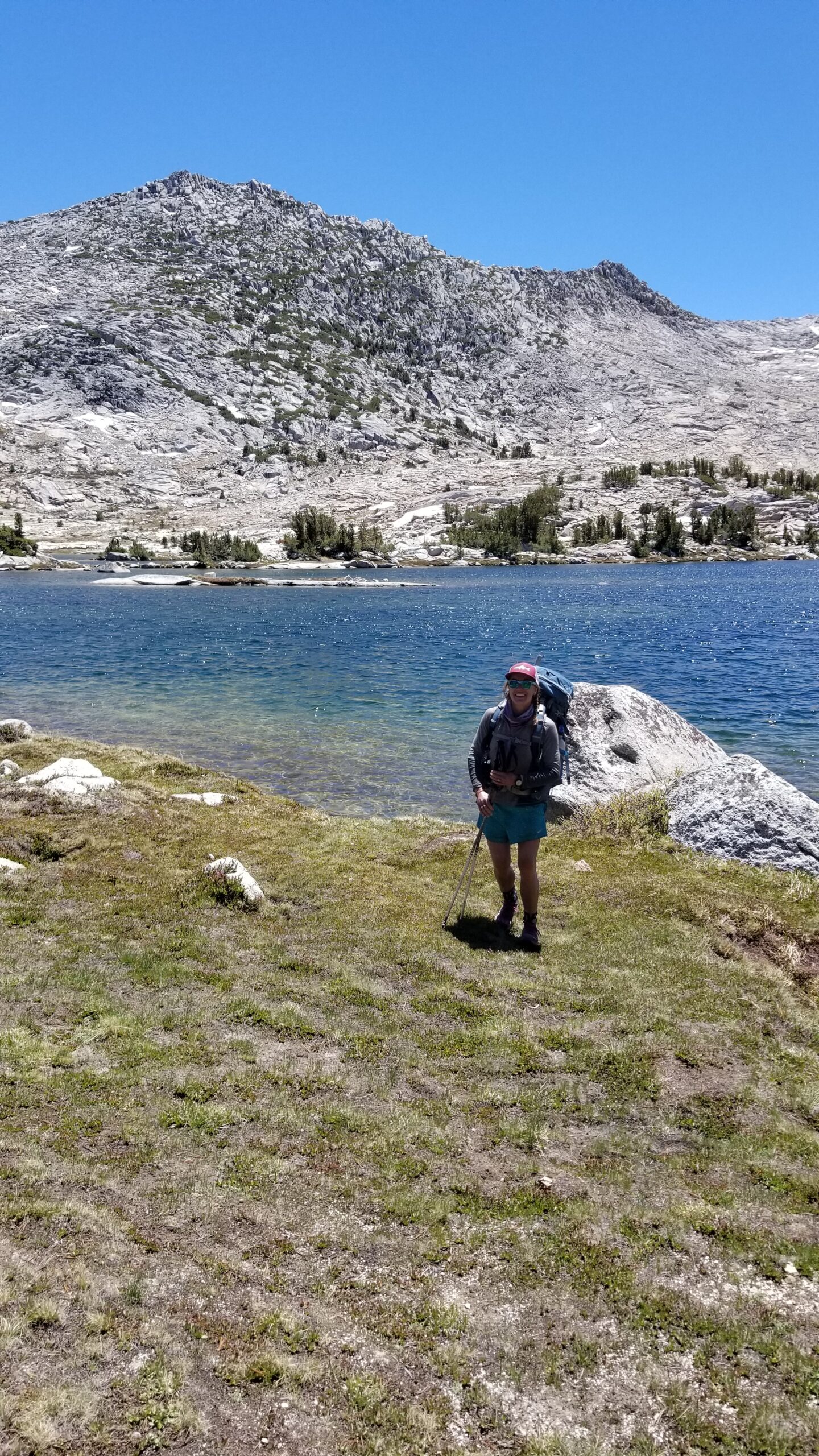
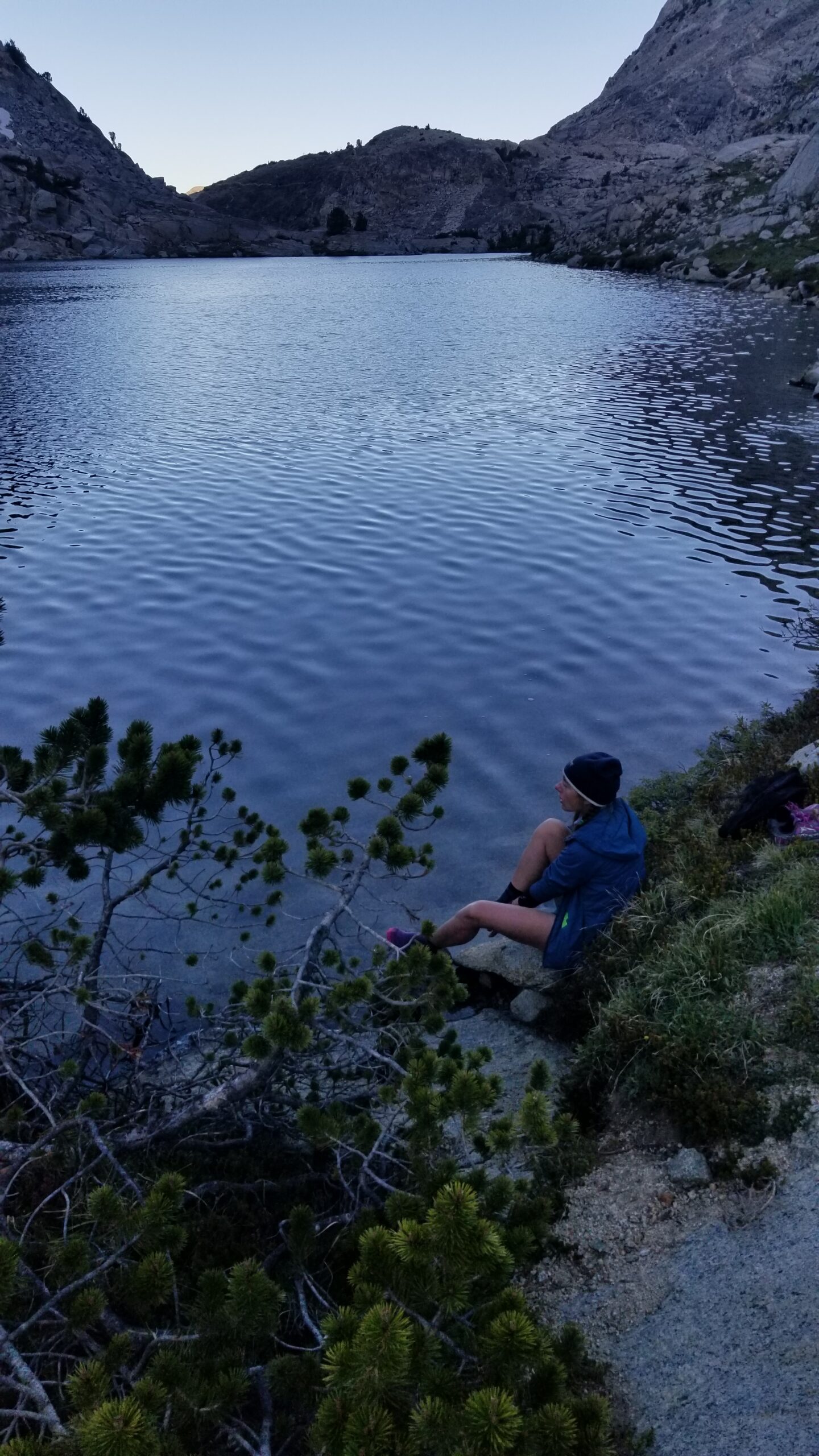
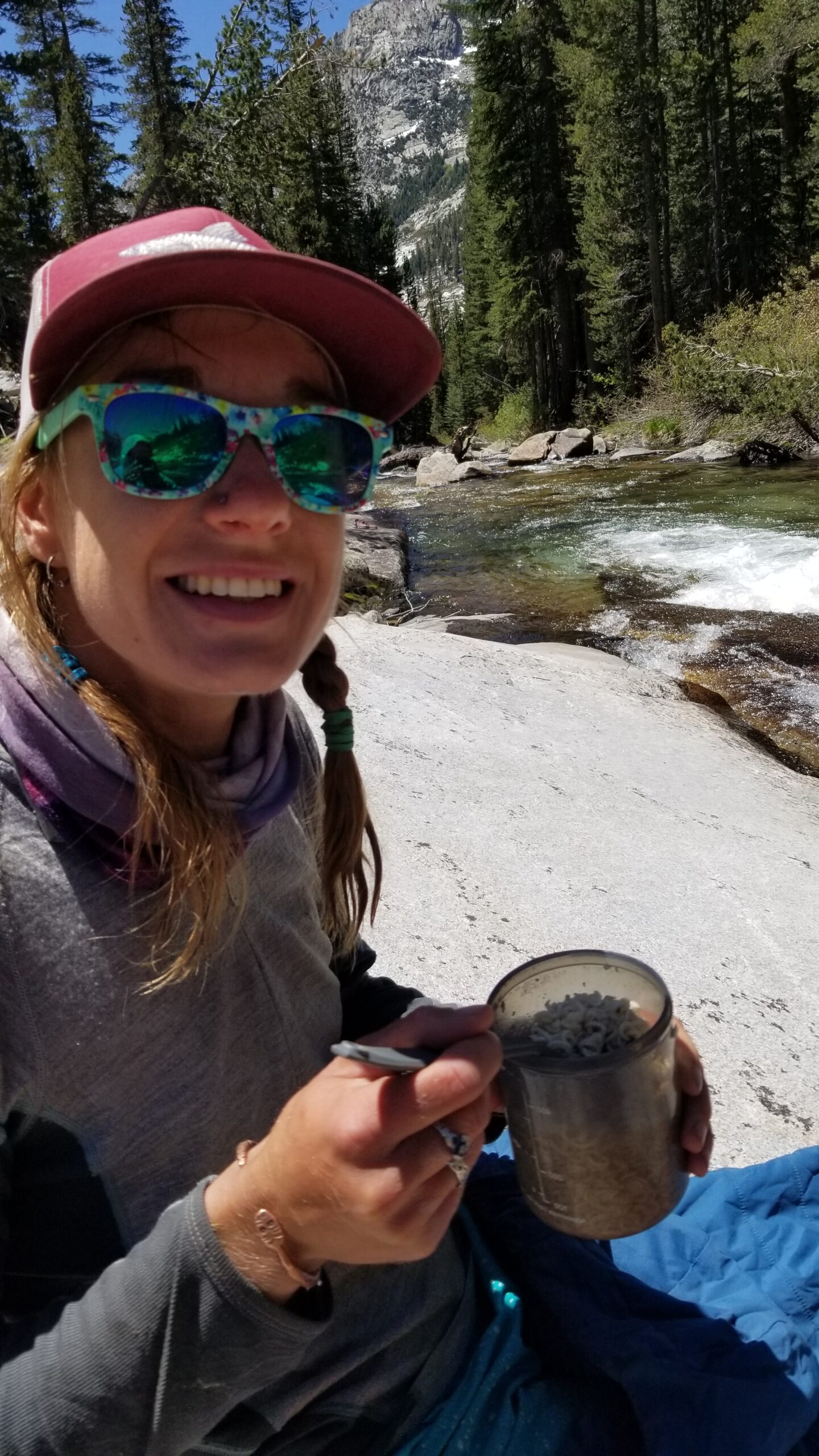
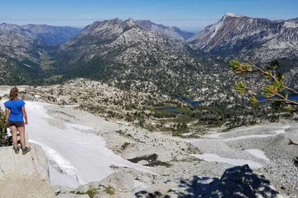
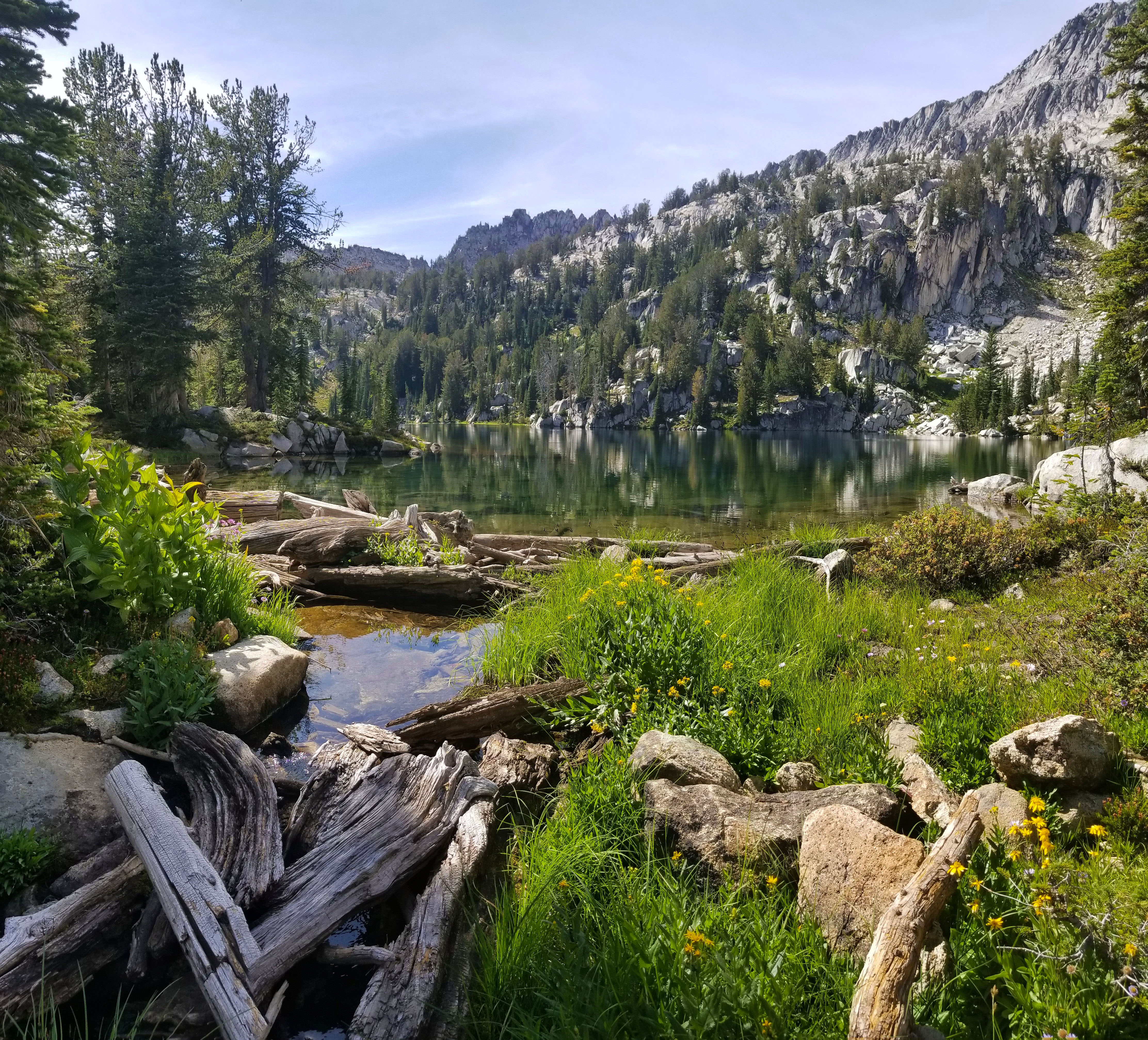
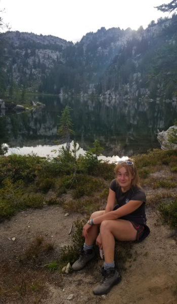
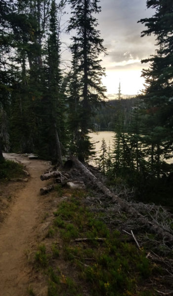
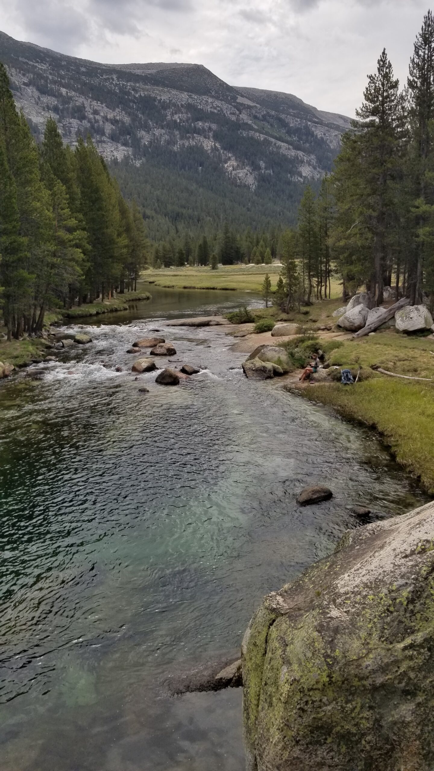
We trekked on until we finally found a beautiful boulder overlooking a deep cool emerald pool where a few trout floated waiting a good meal. We knew this was the last real chance for a dip before the end of the trail. We quickly threw off our smelly clothes and leaped in. The cold water rushed over our bodies and we were soon swimming for the shore to seek refuge from the cold. Replenished by the cold waters we pulled ourselves to the rocks, dried off and threw on our clothes.
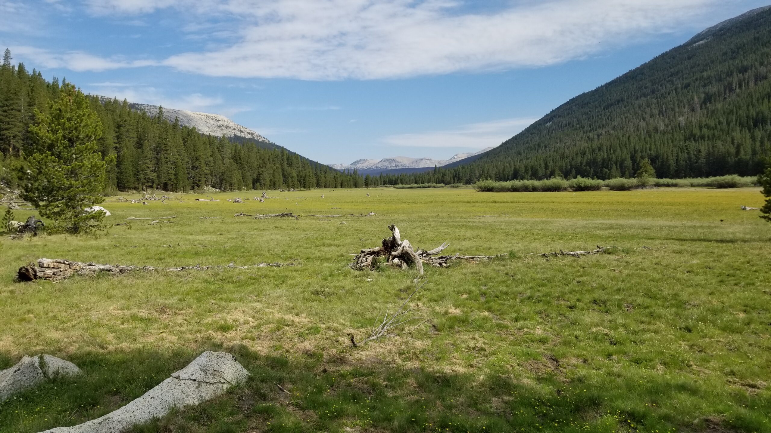
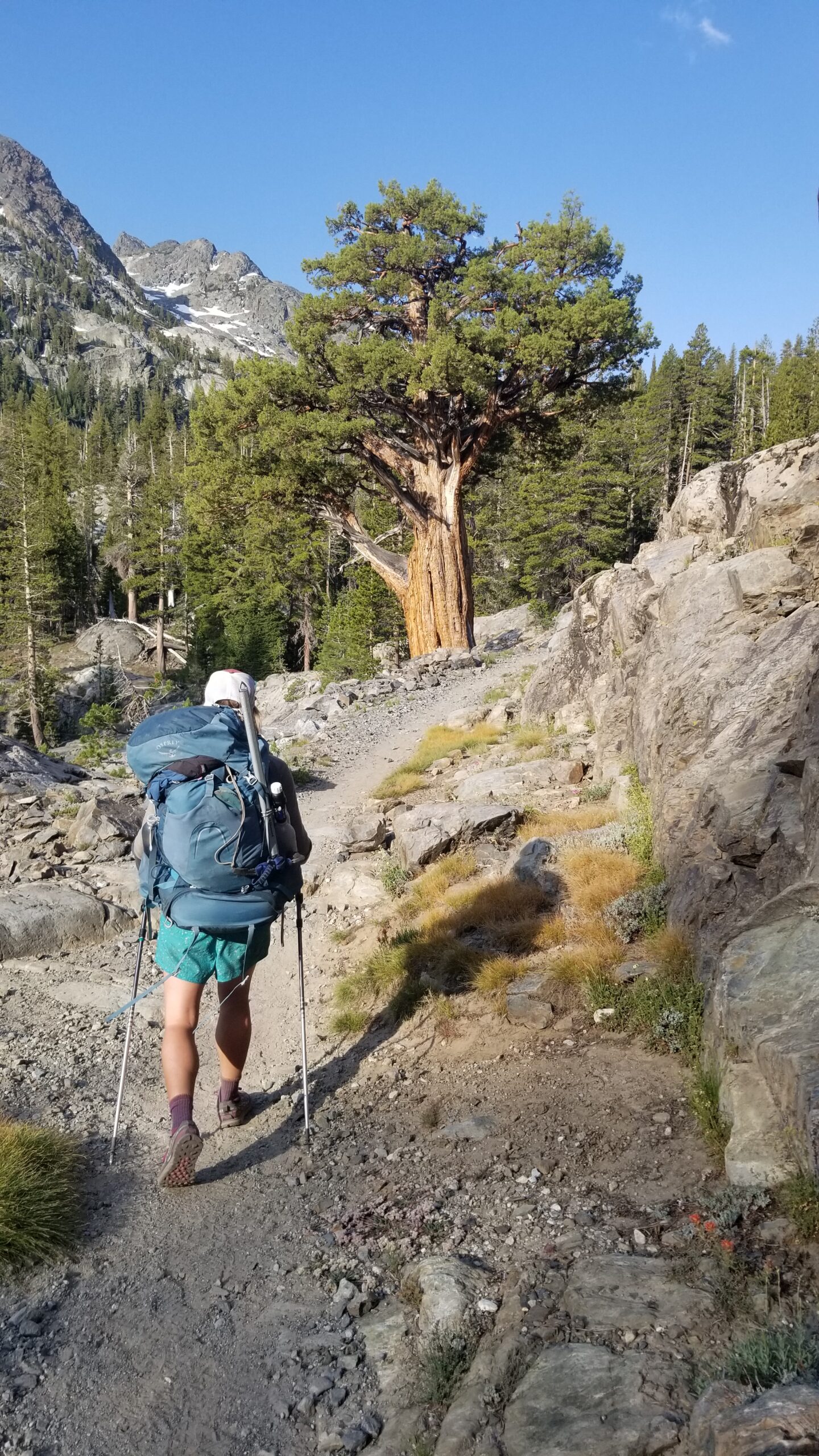
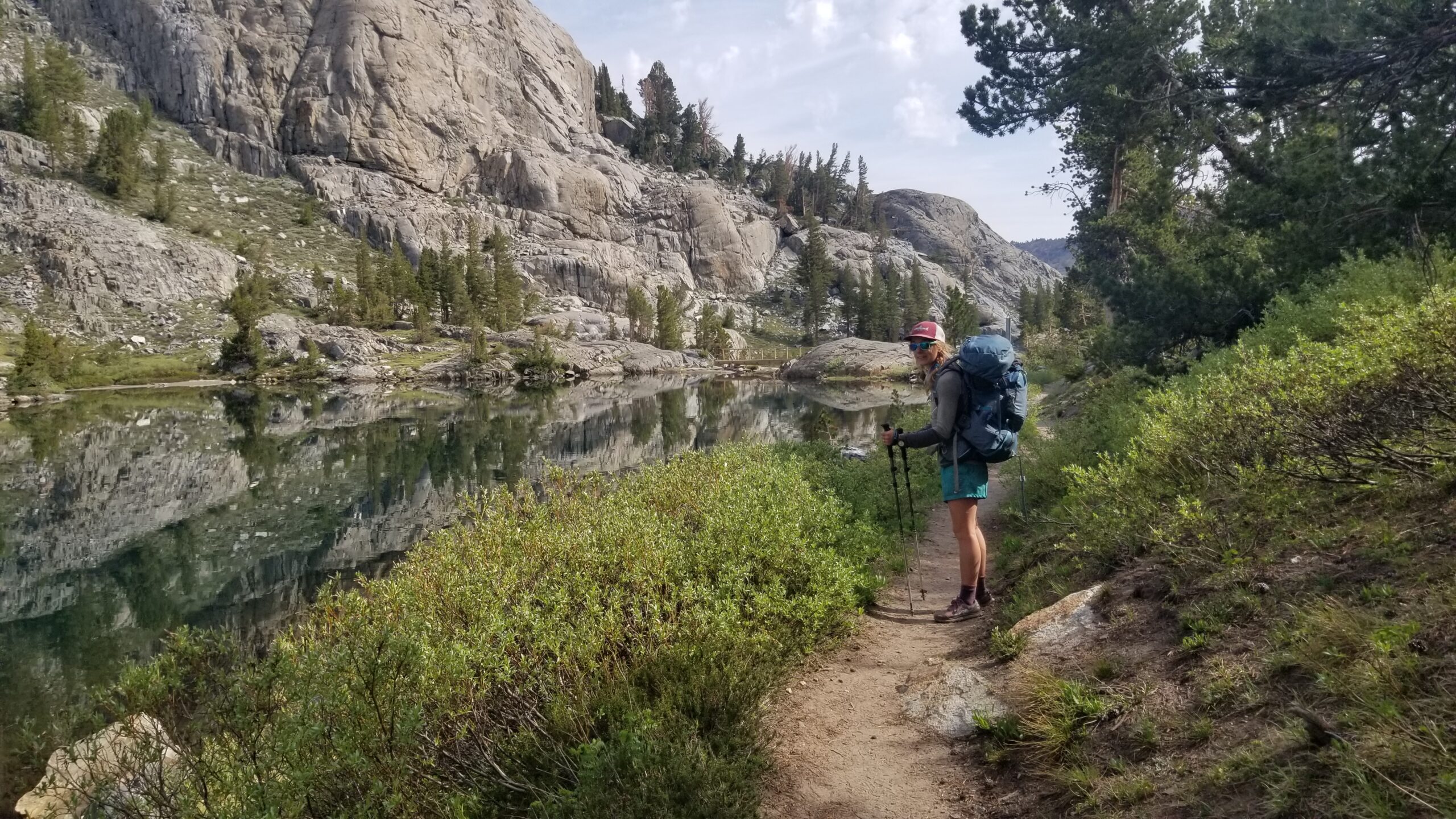
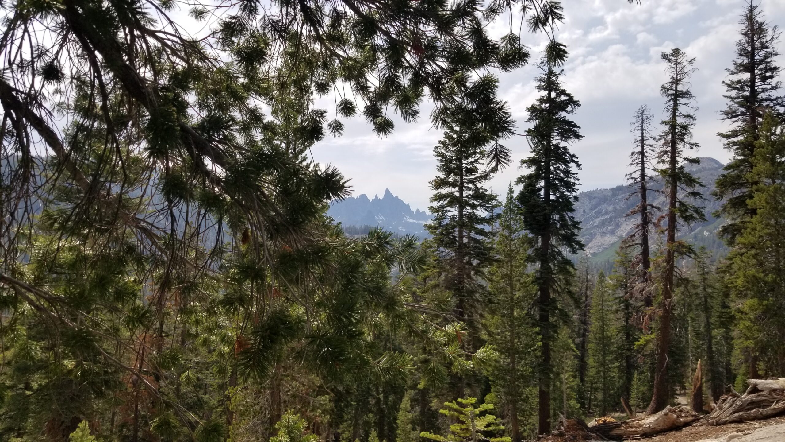
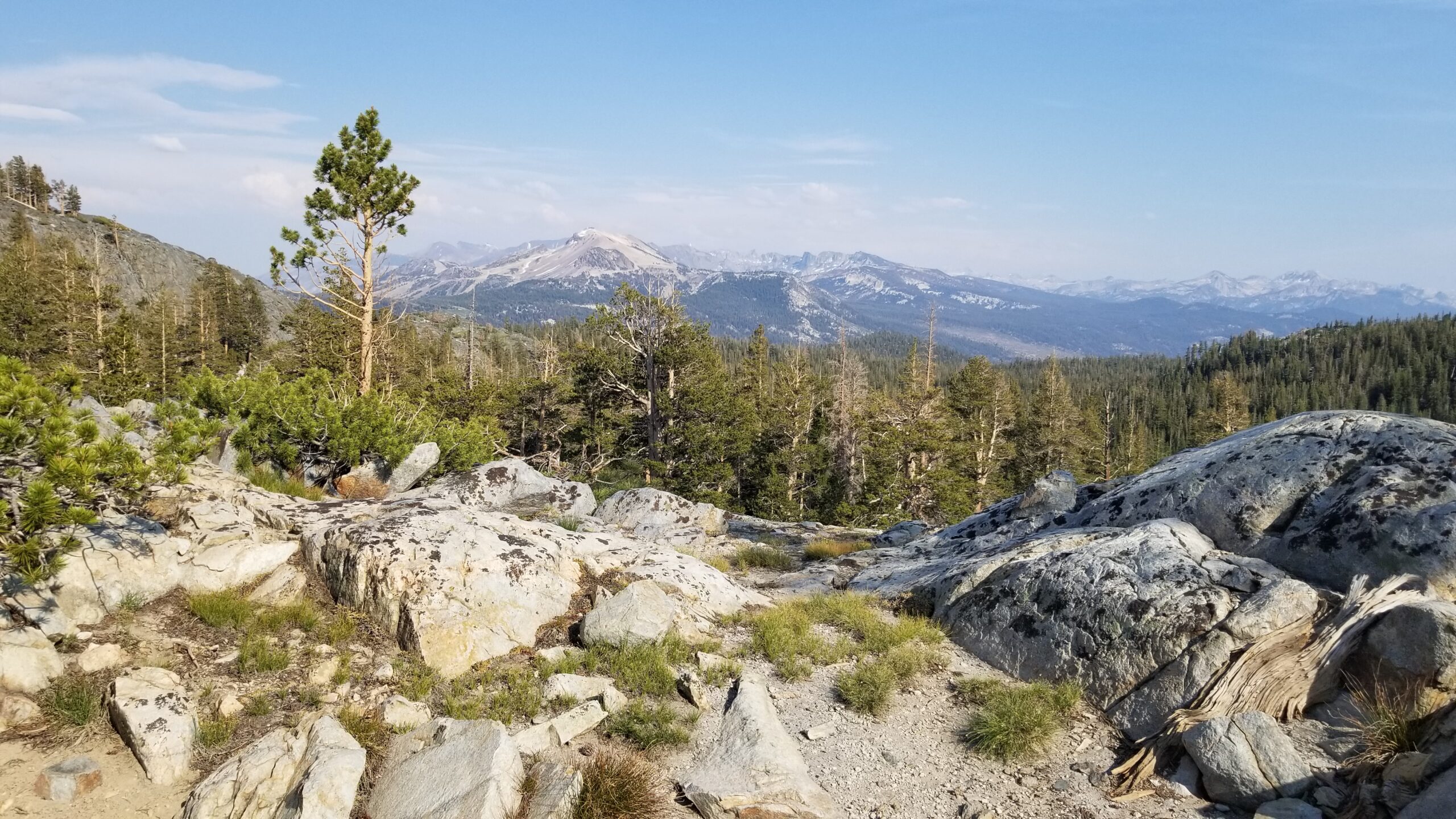
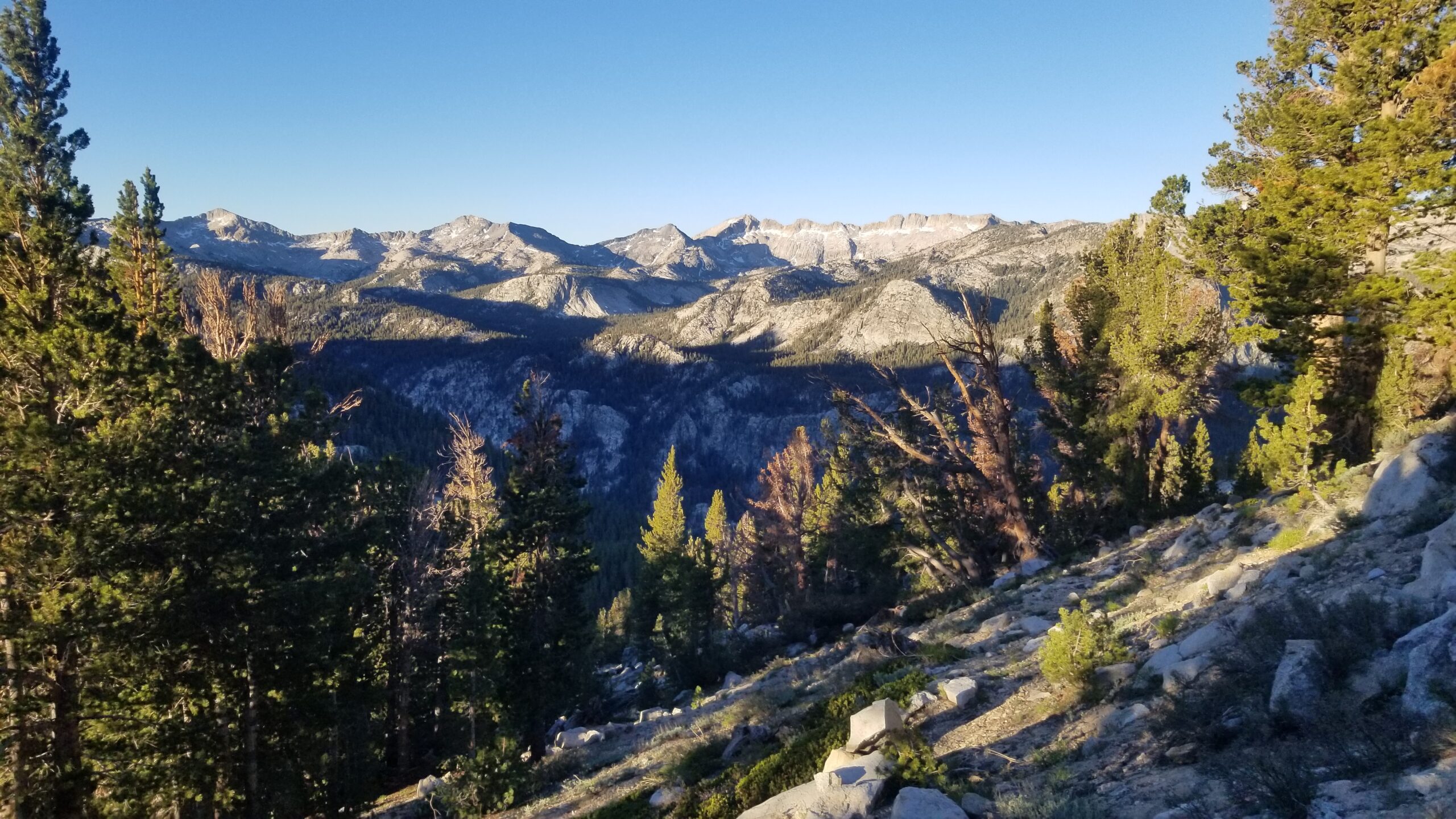
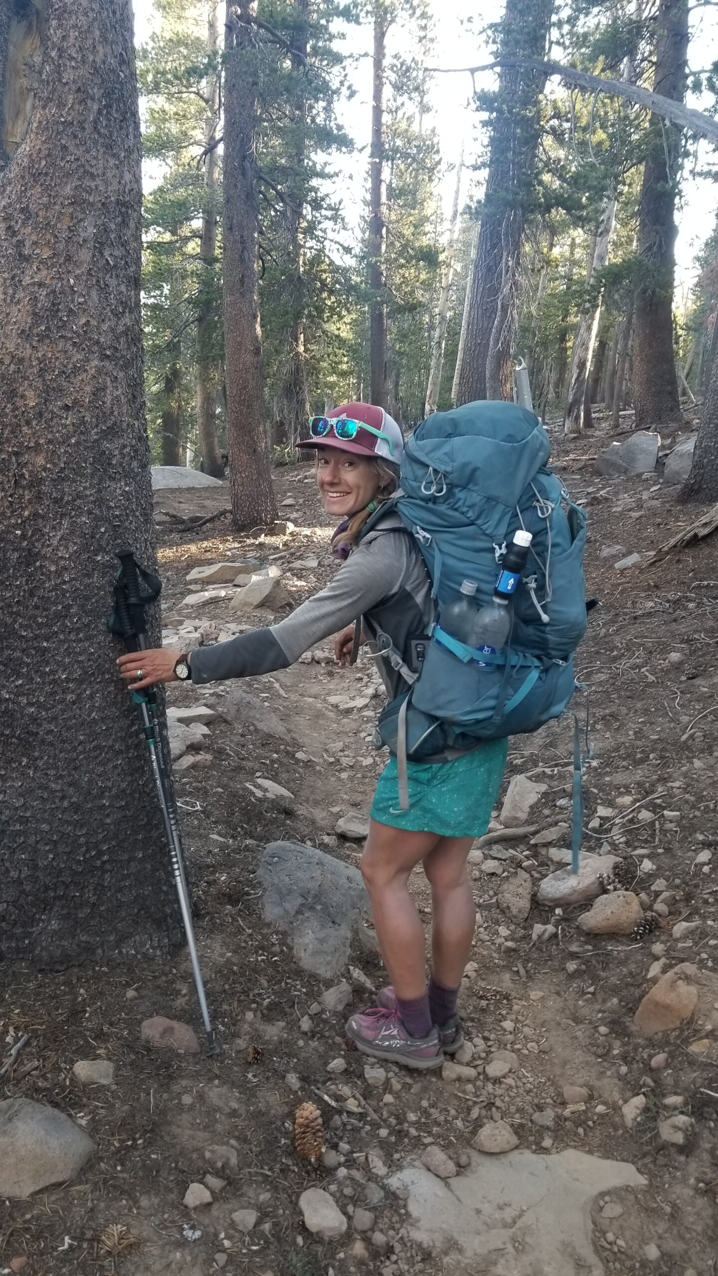
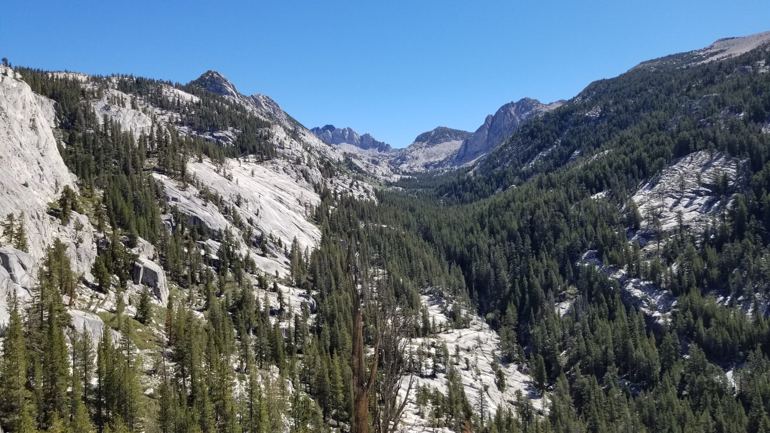
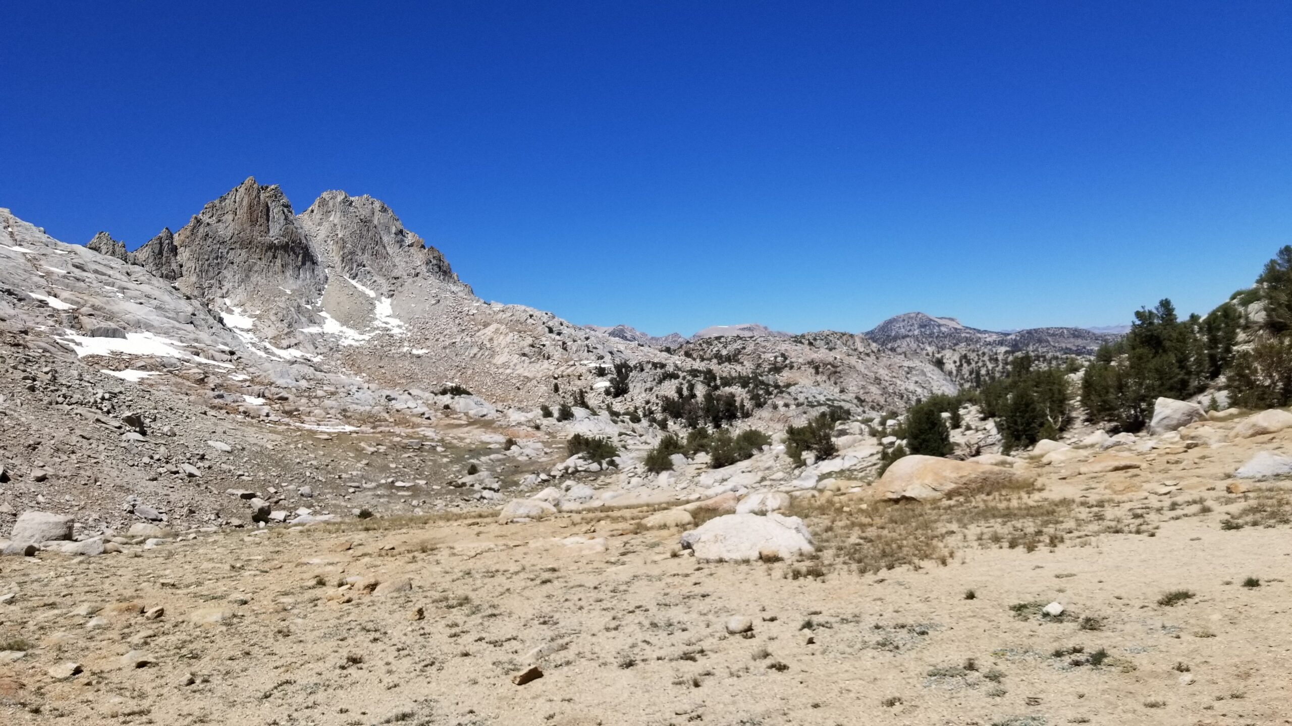
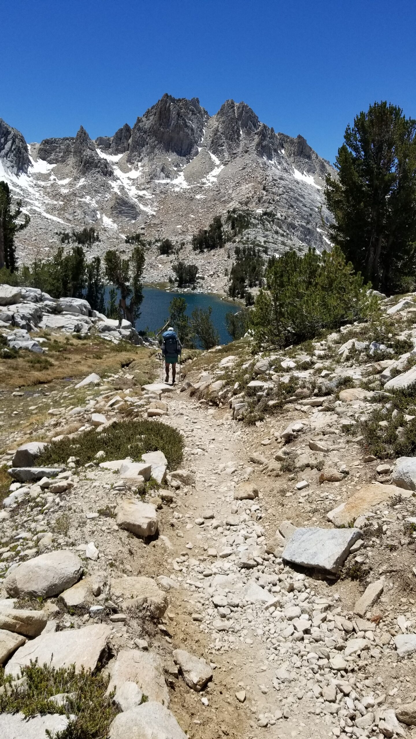
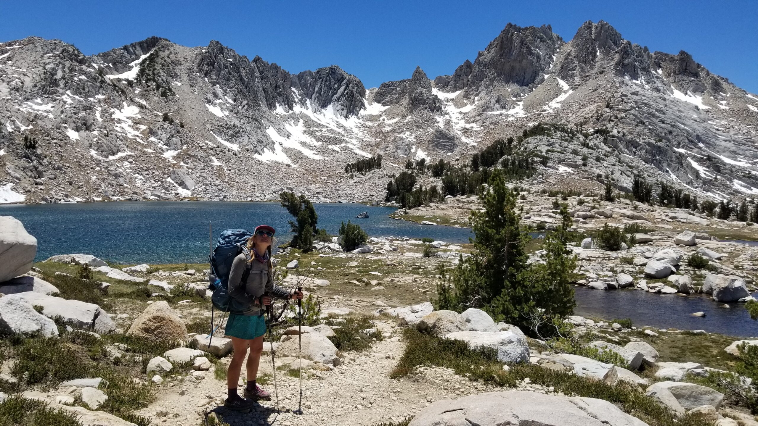
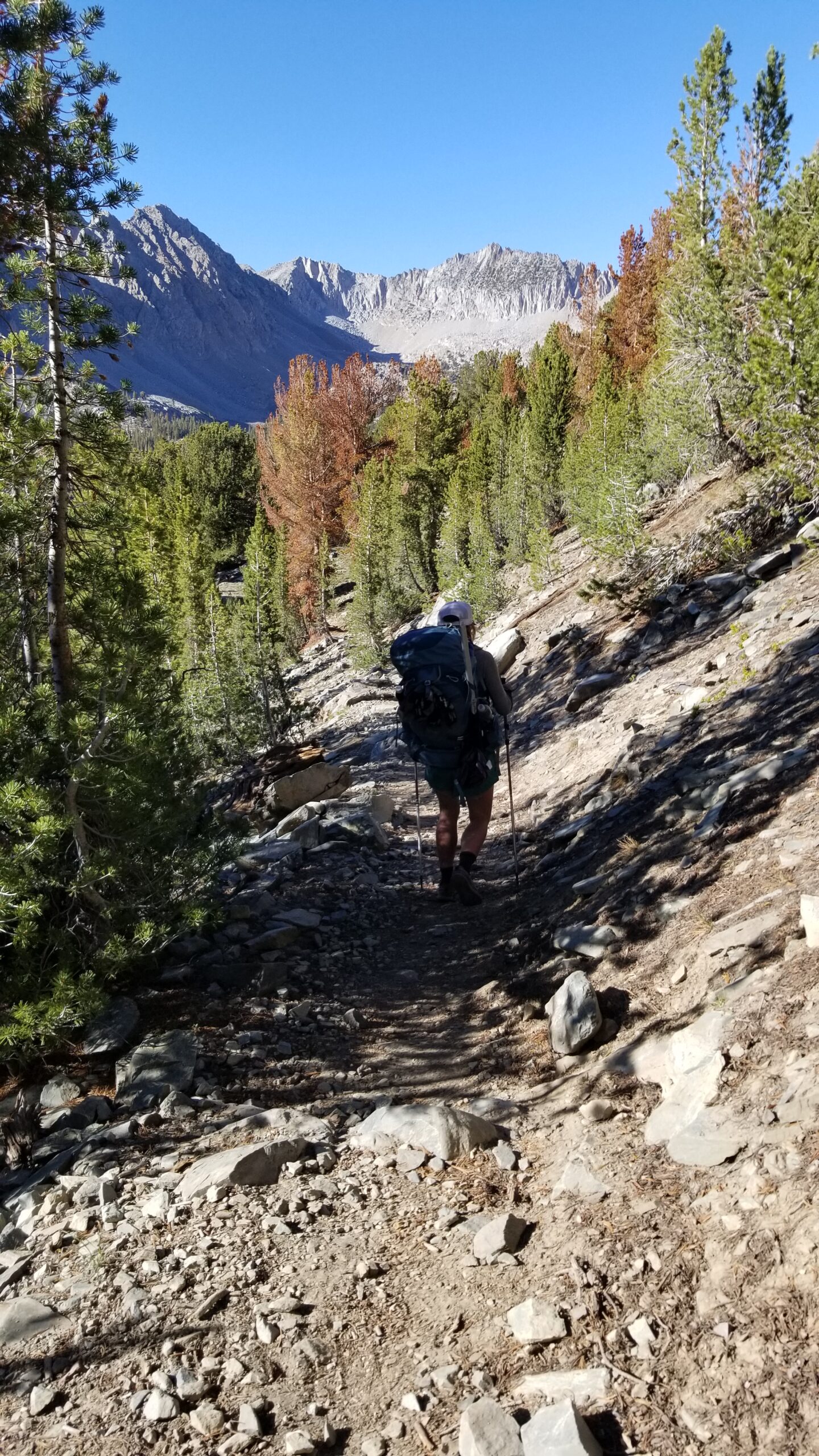
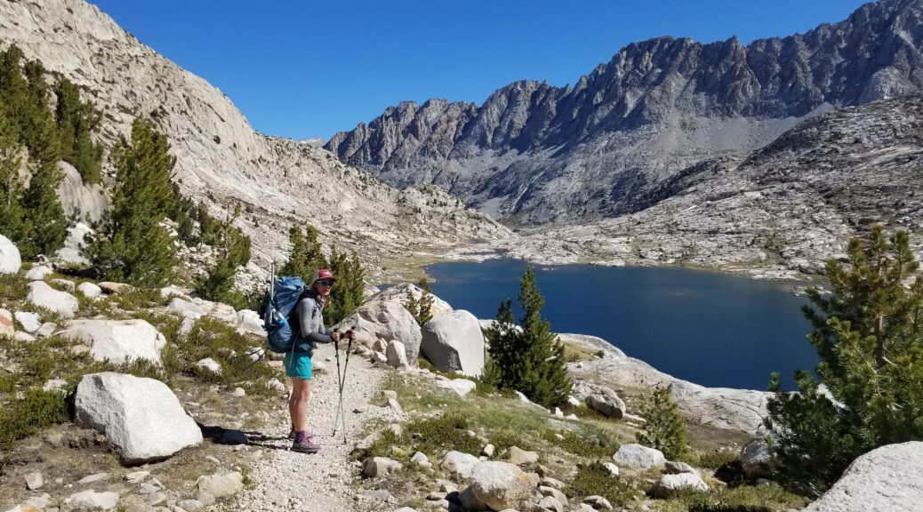
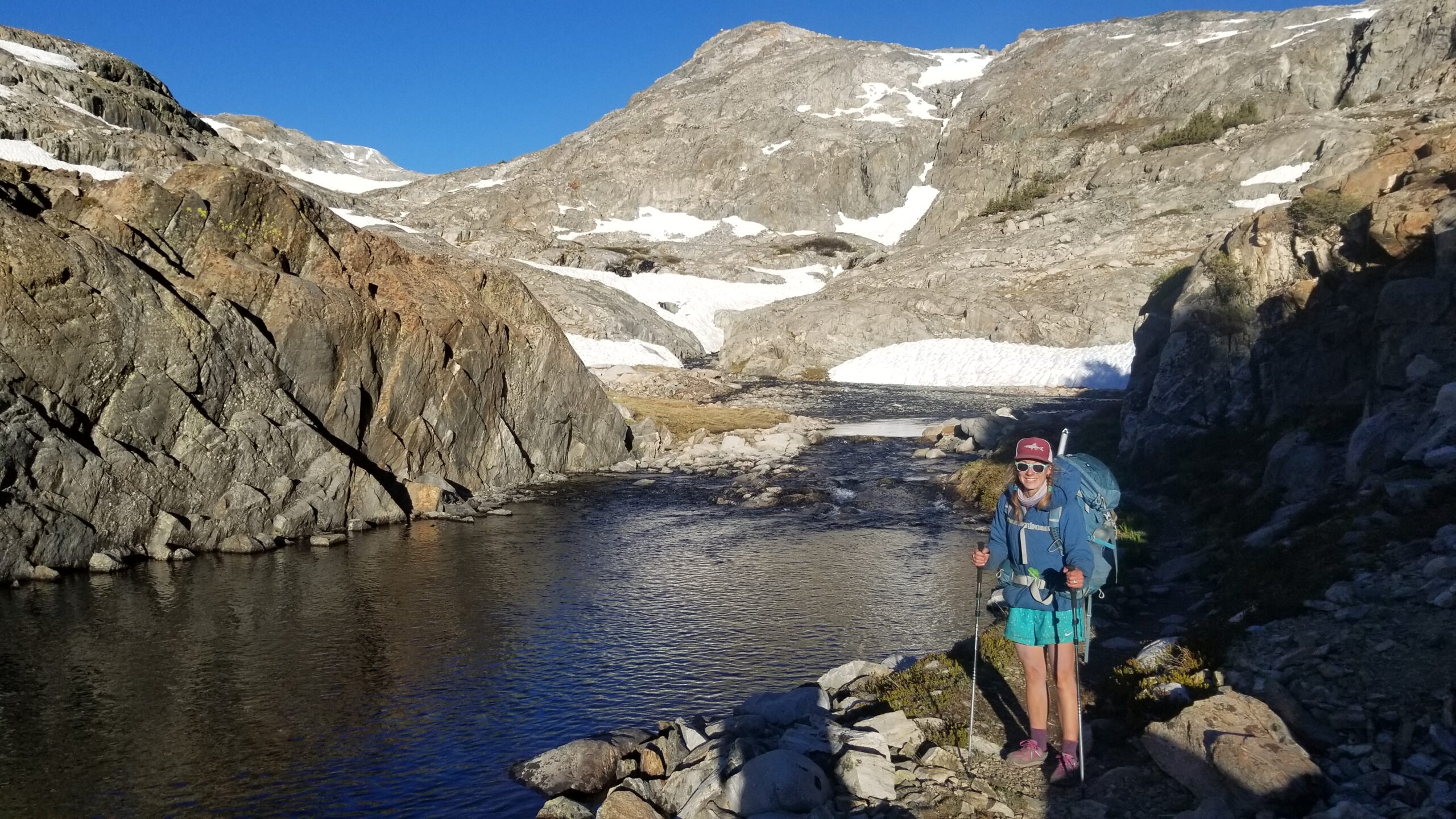
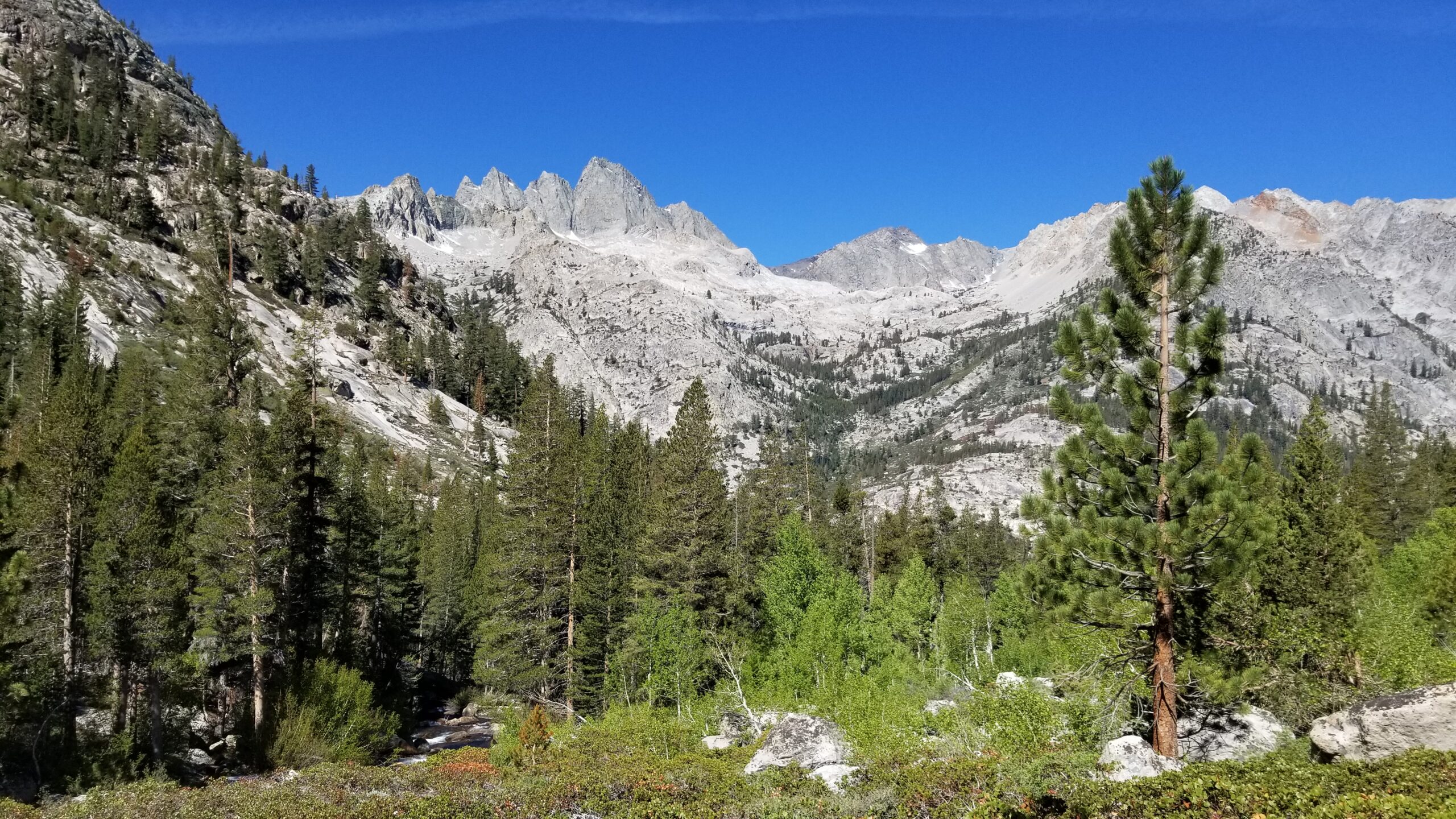
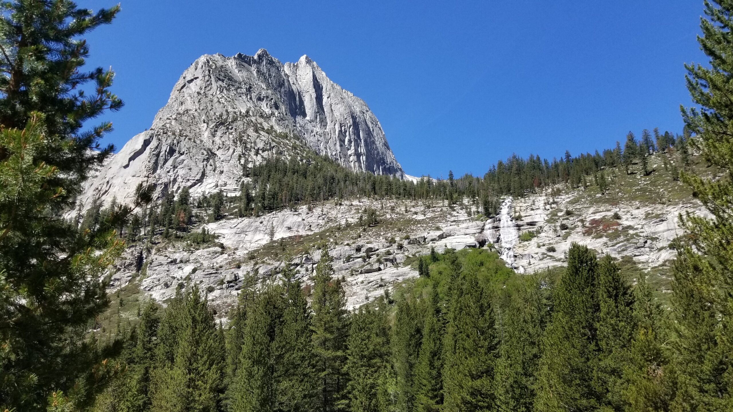
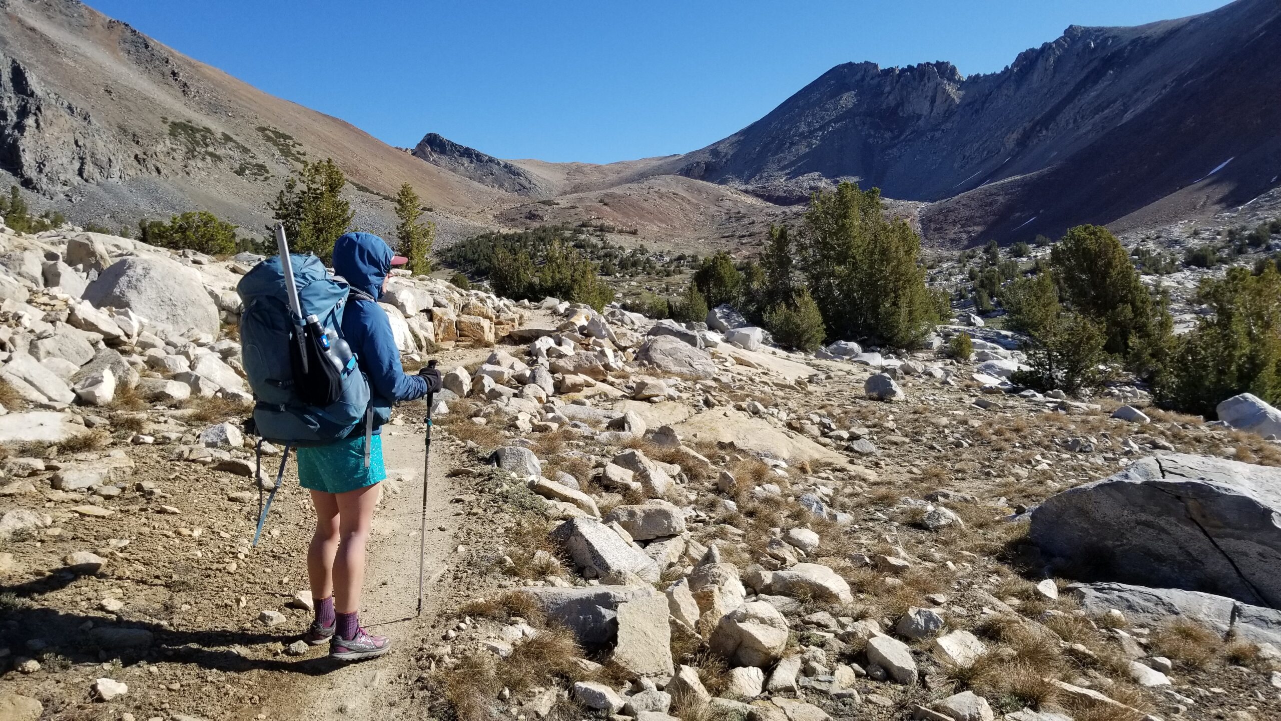
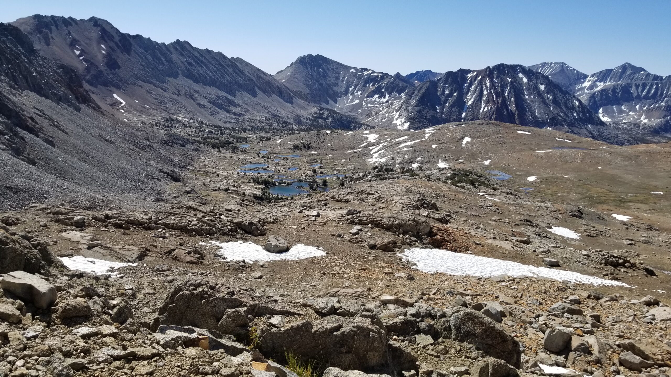
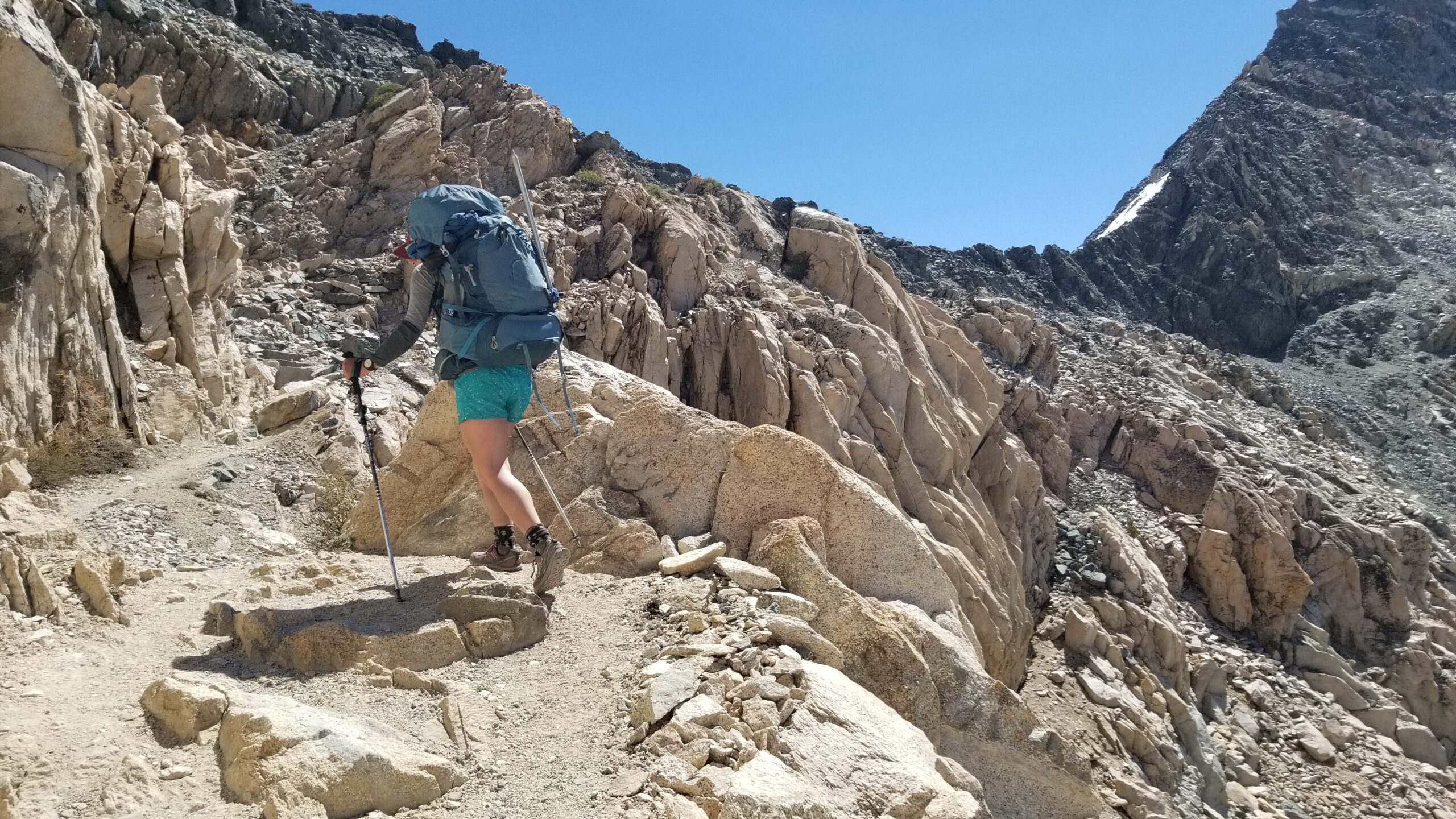
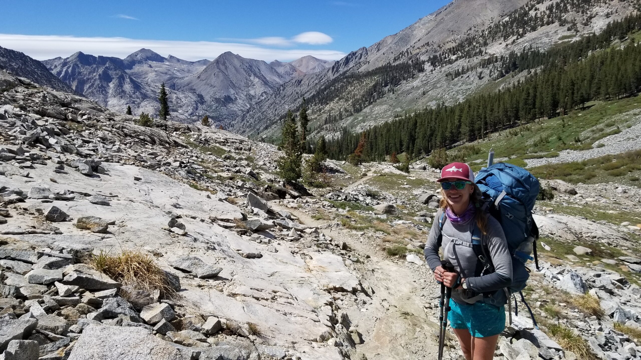
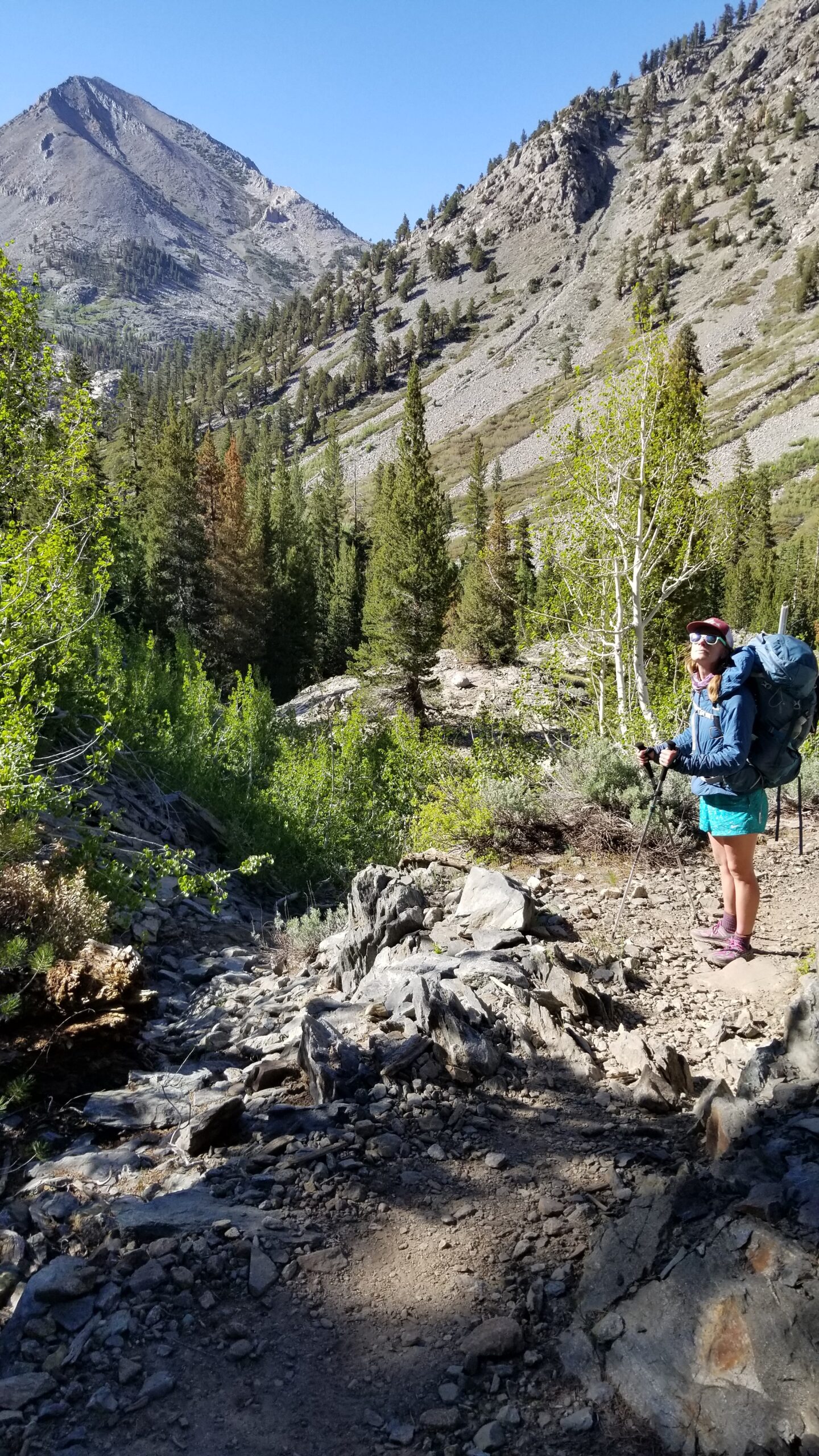
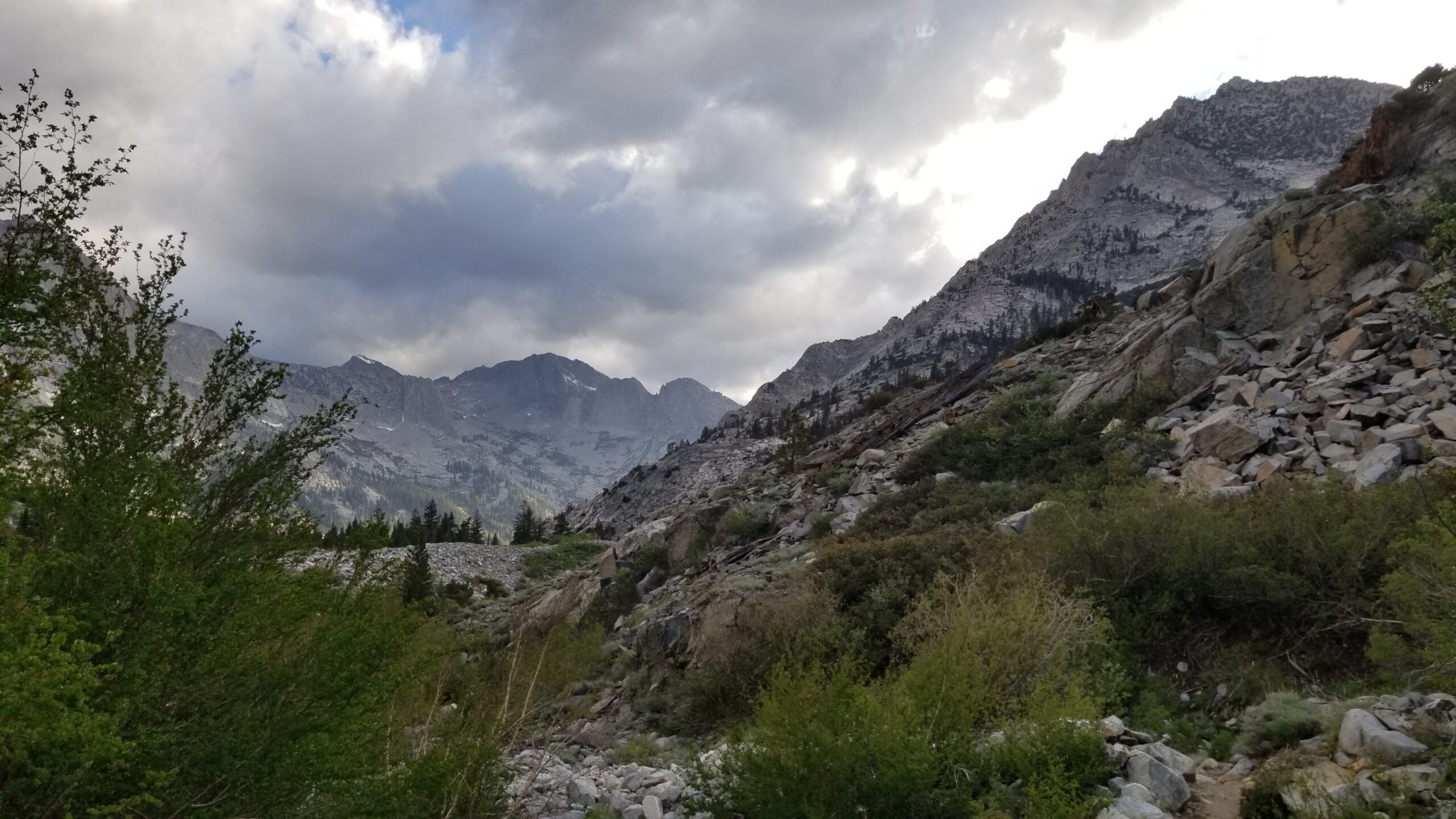
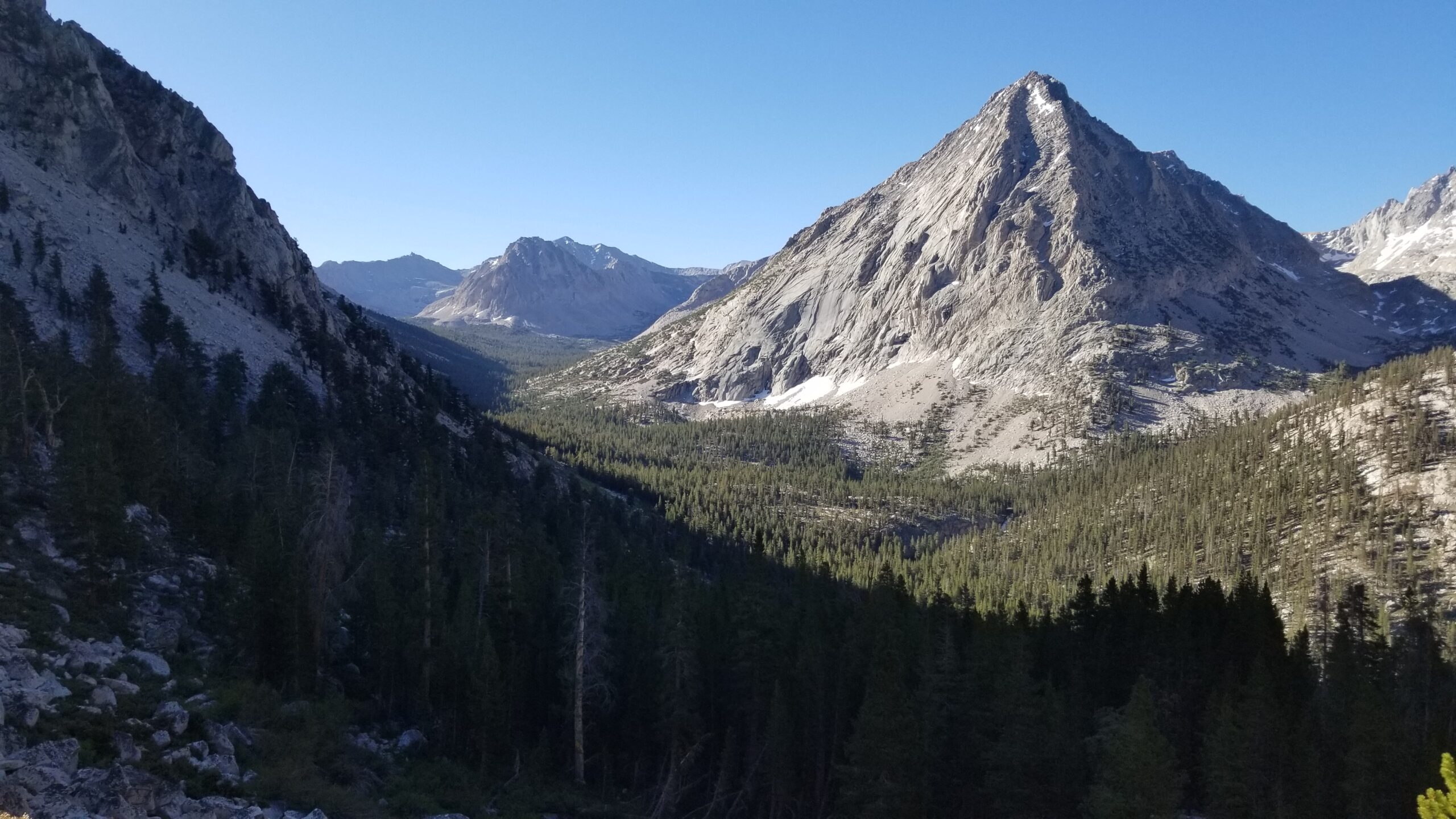
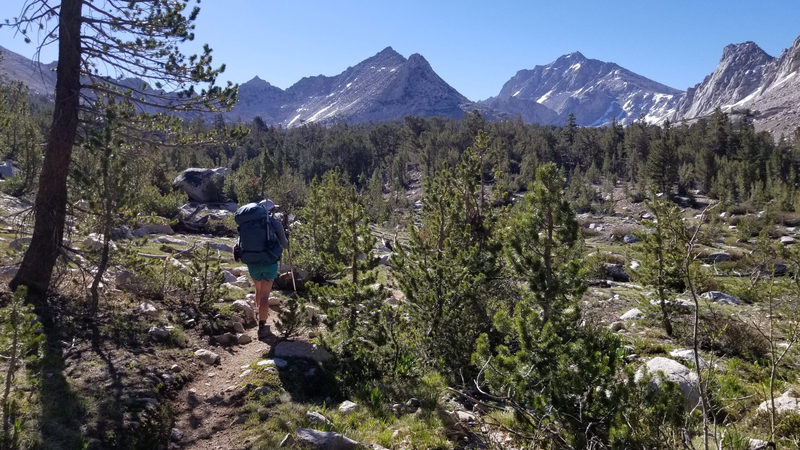
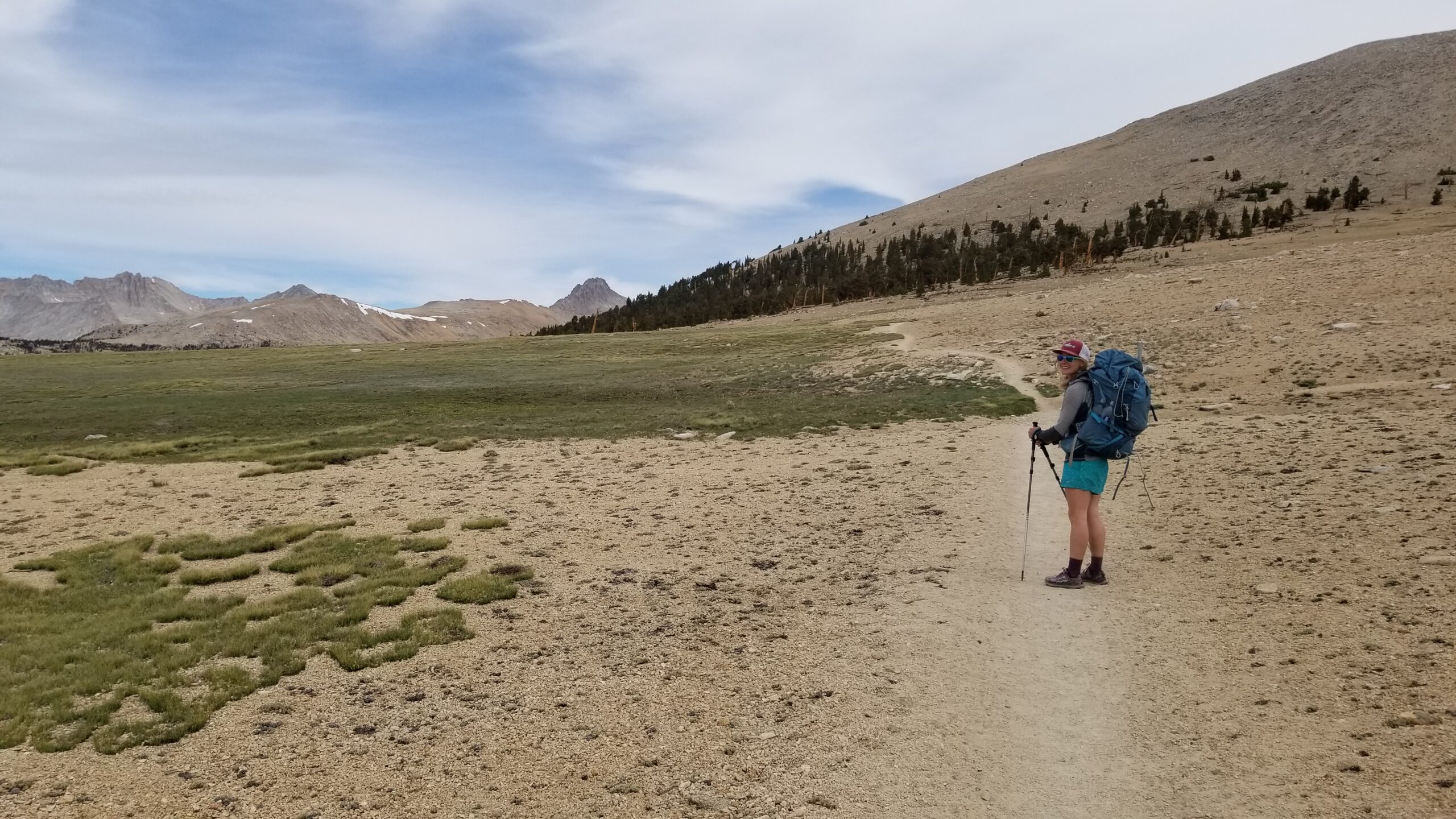
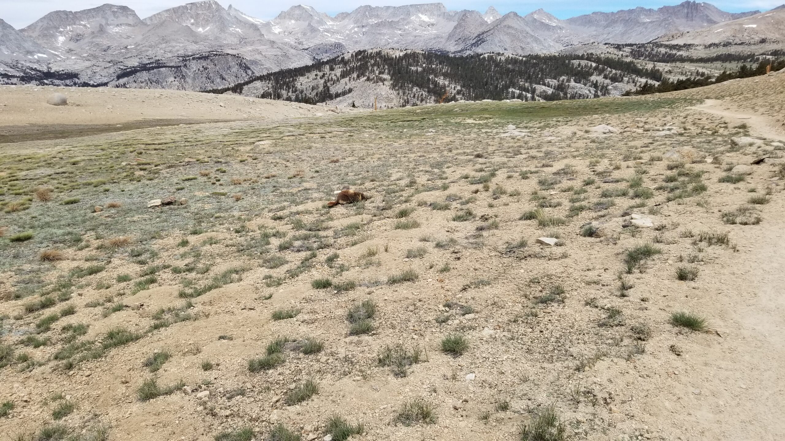
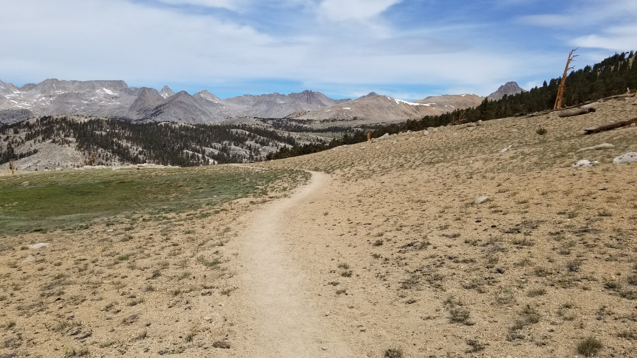
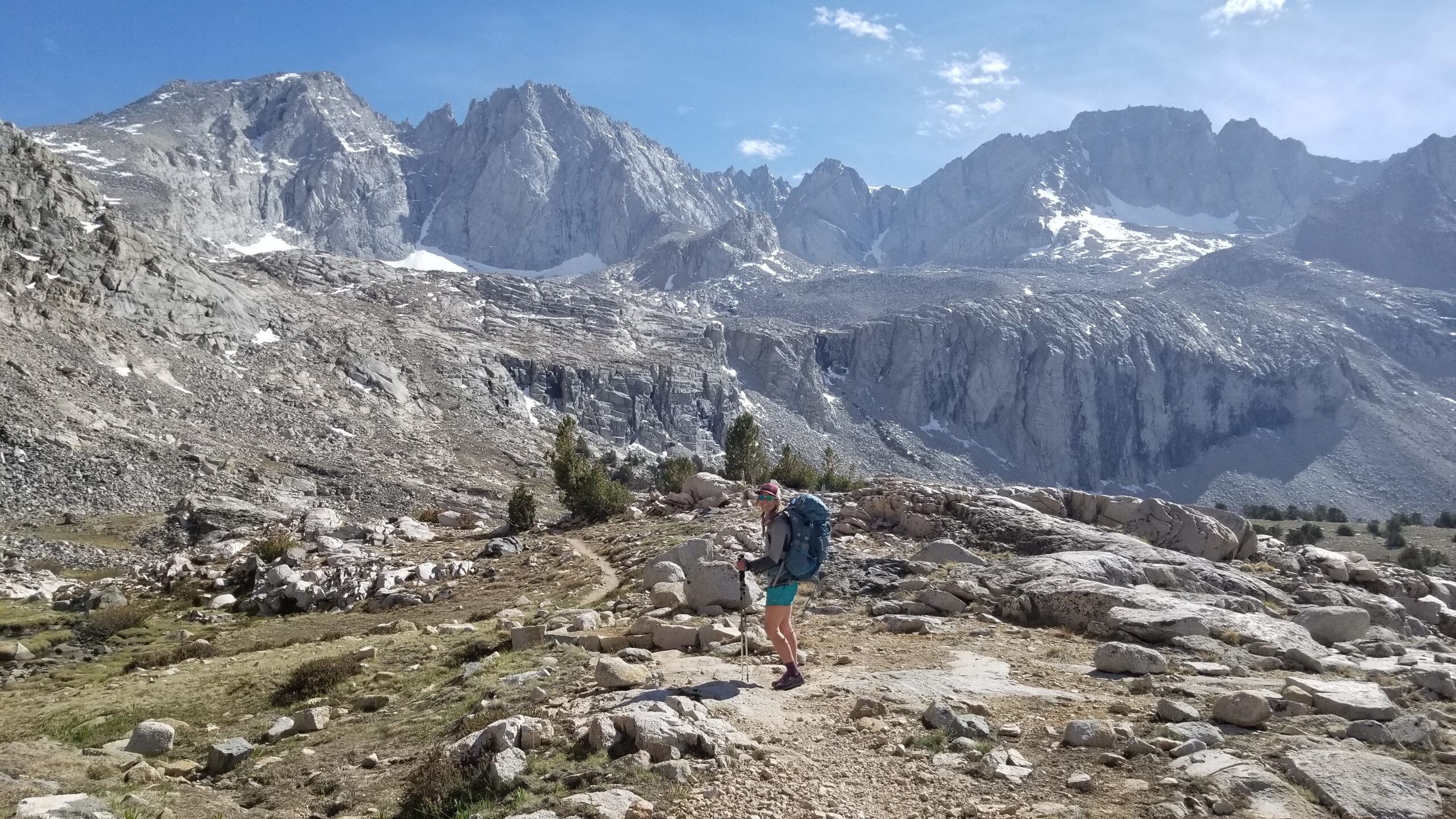
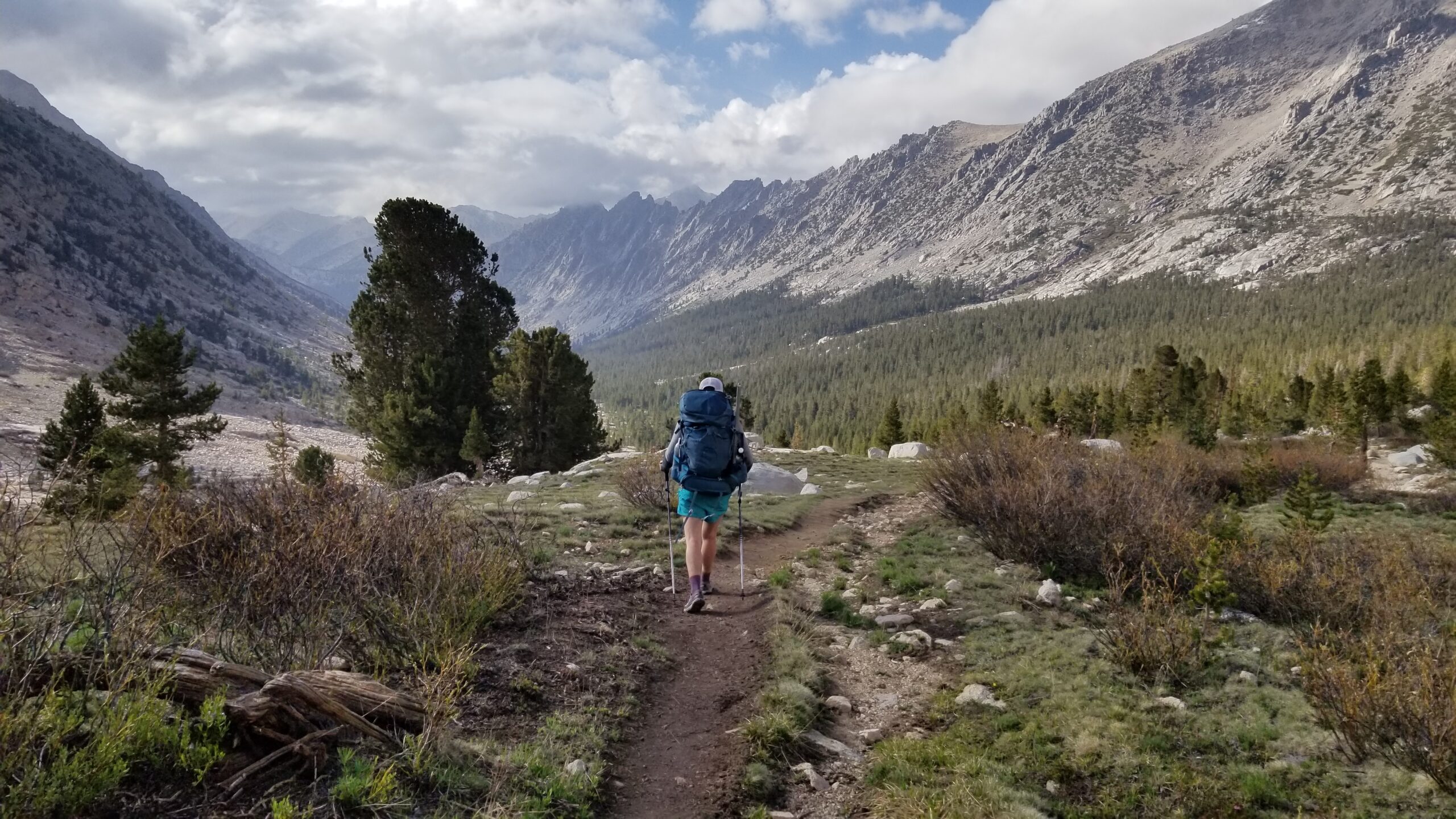
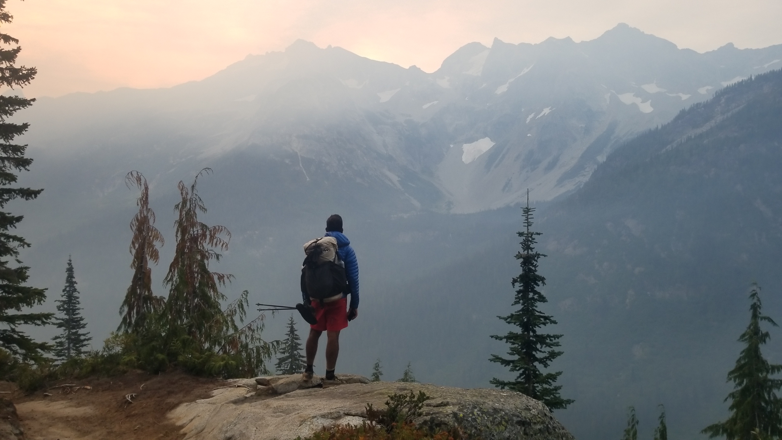
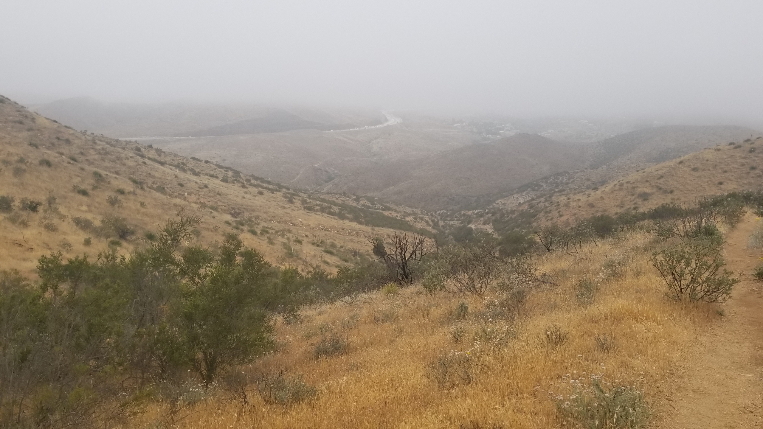
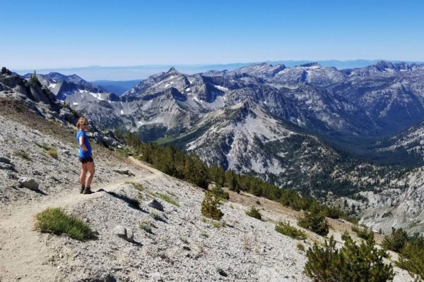
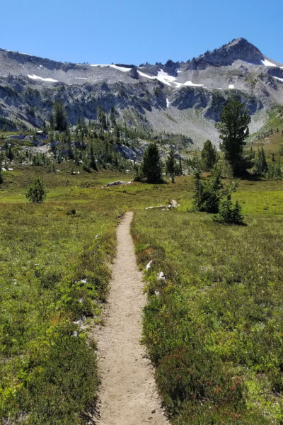
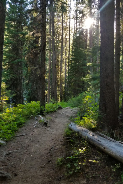
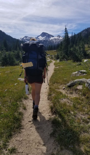
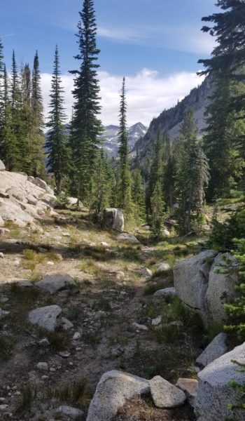
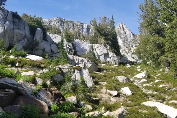
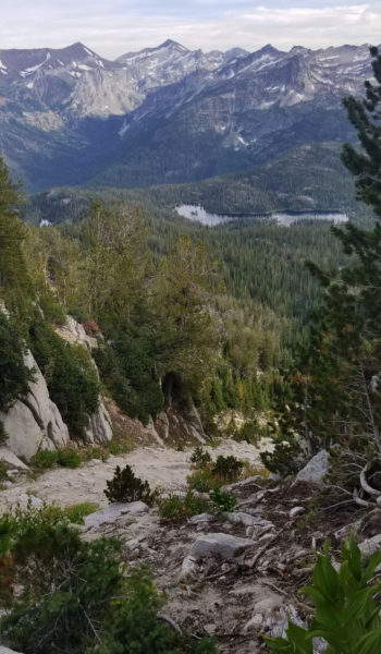
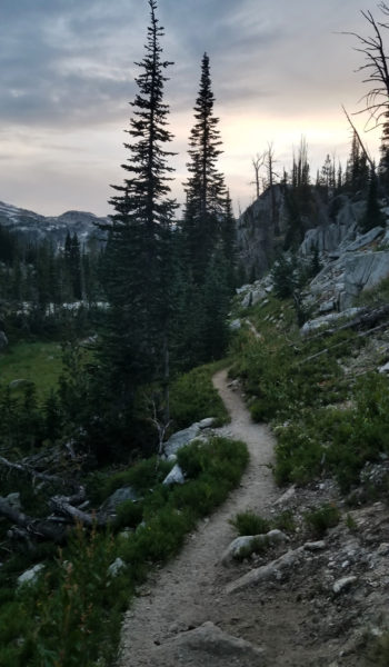
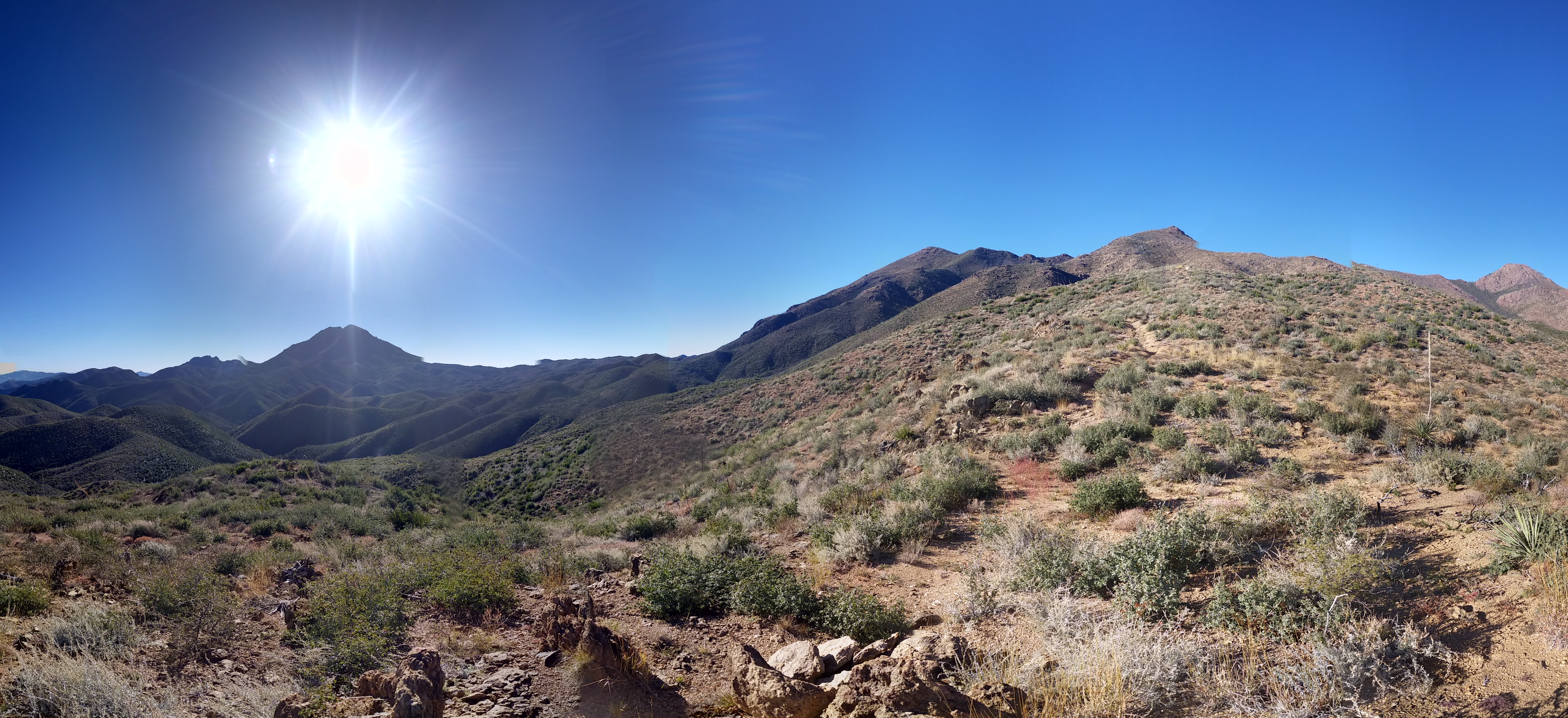
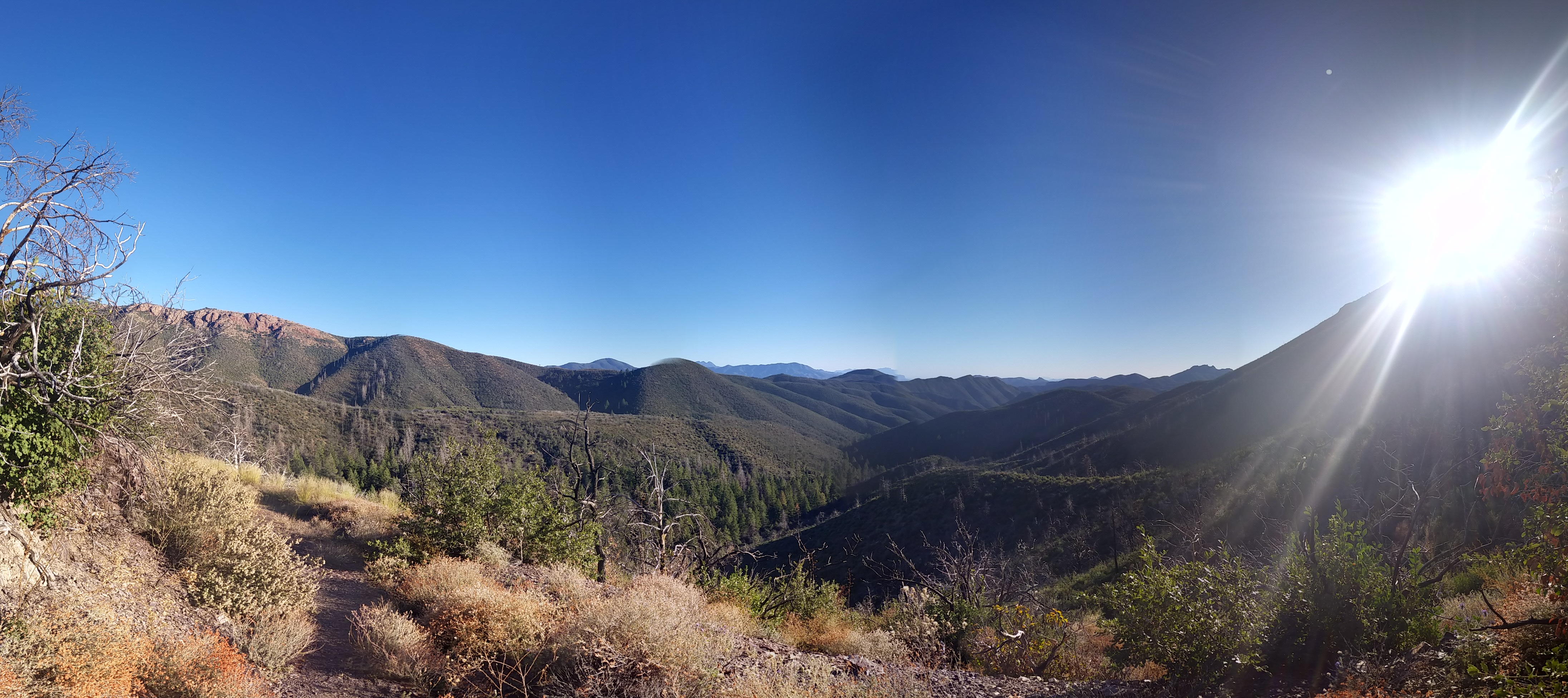
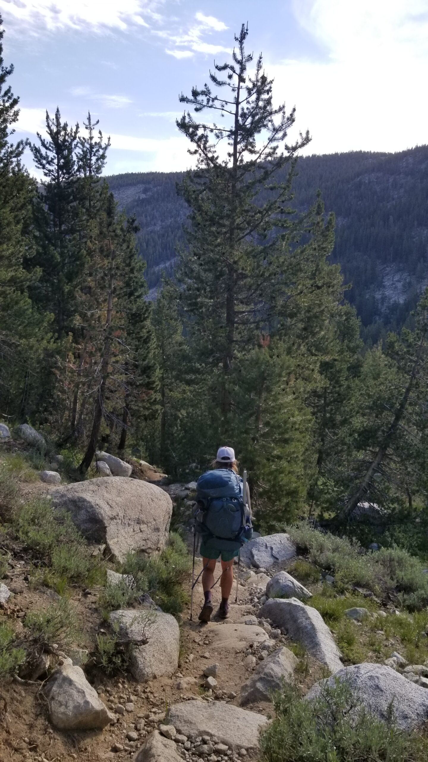
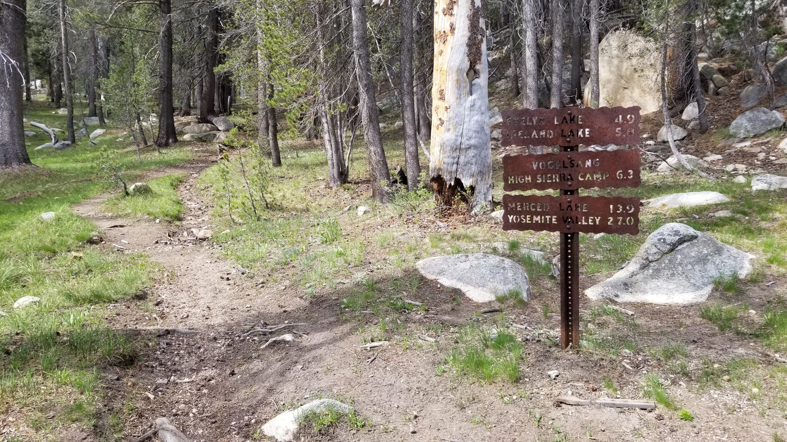
We headed down the trail feeling high from the cold water and took in the landscape. The flat valley was enclosed by two large granite faces that rose up and leaned away from the bottom. They were covered in pines and you could get lost in staring into them. A few miles meandering down the valley we started to meet fresh smelling day hikers and knew we must be close.
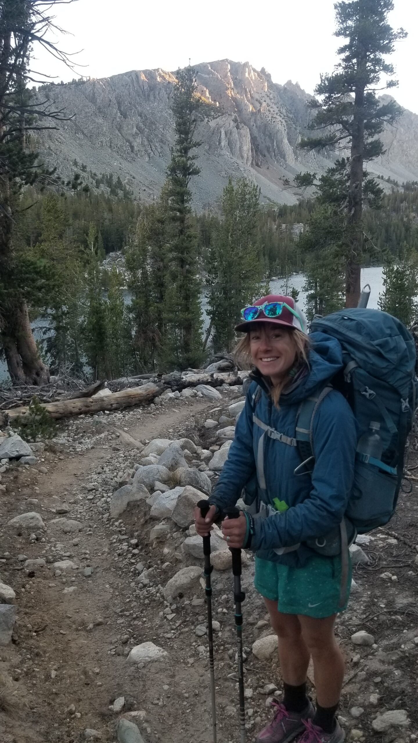
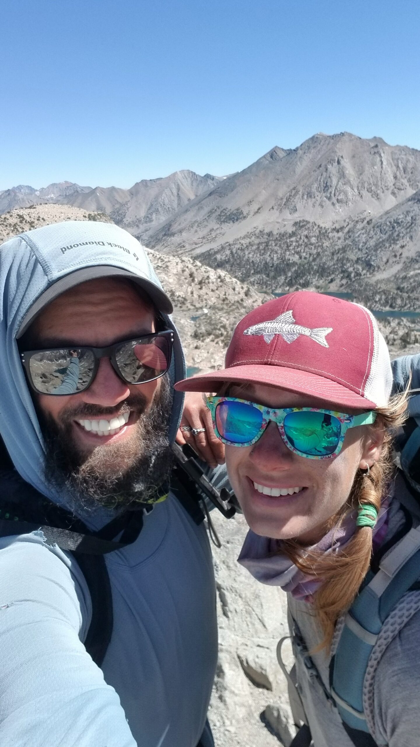
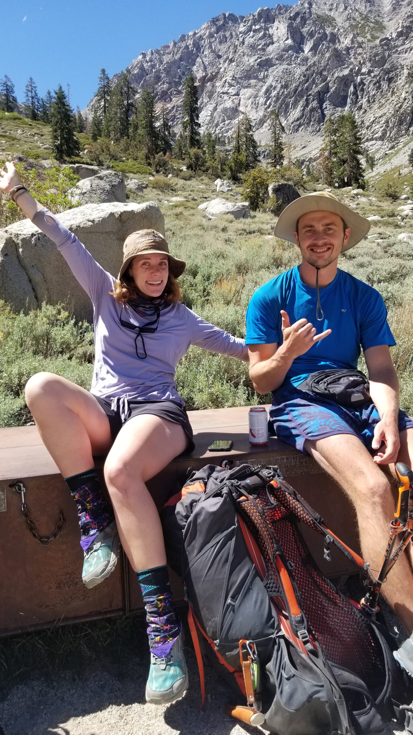
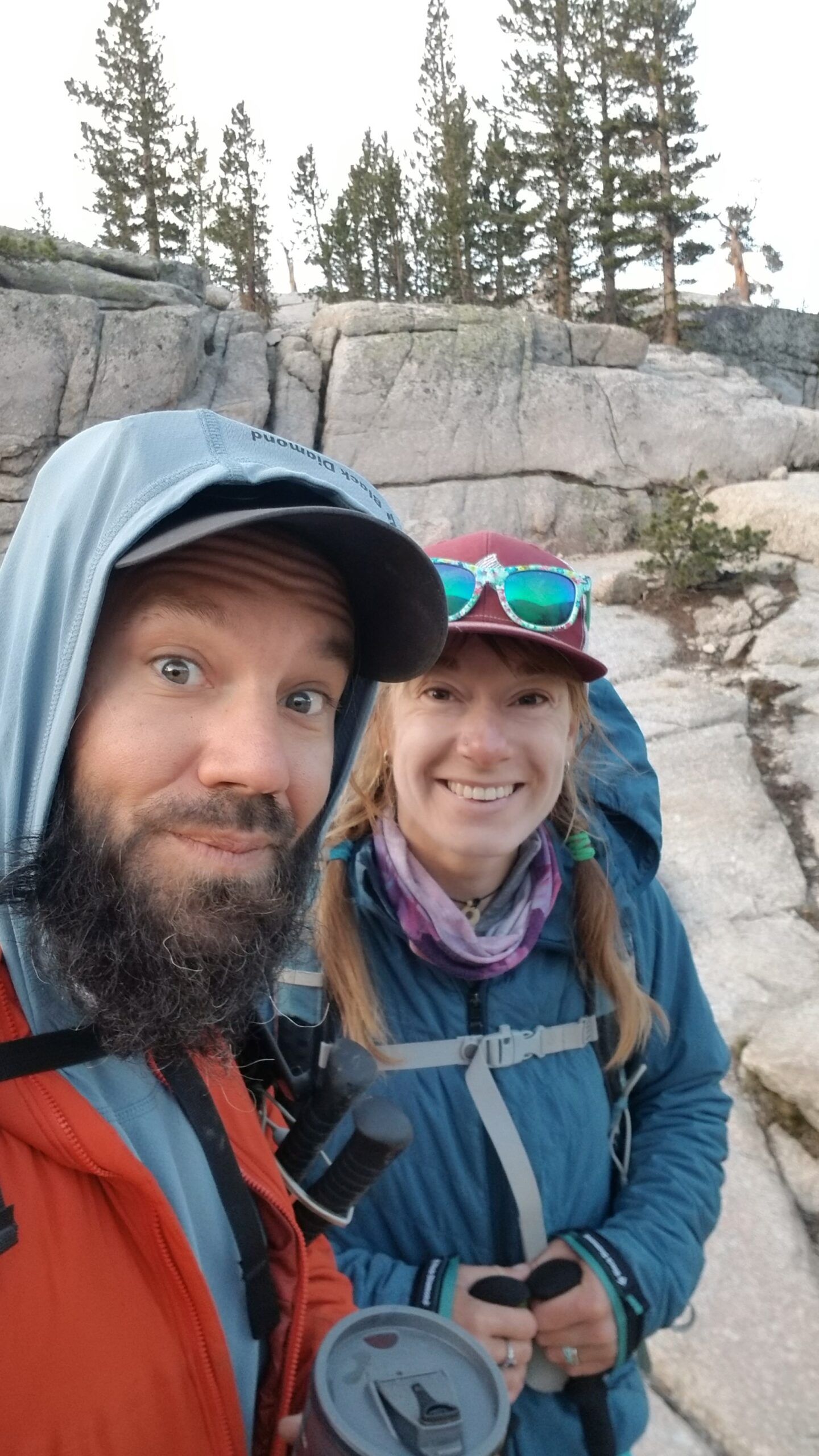
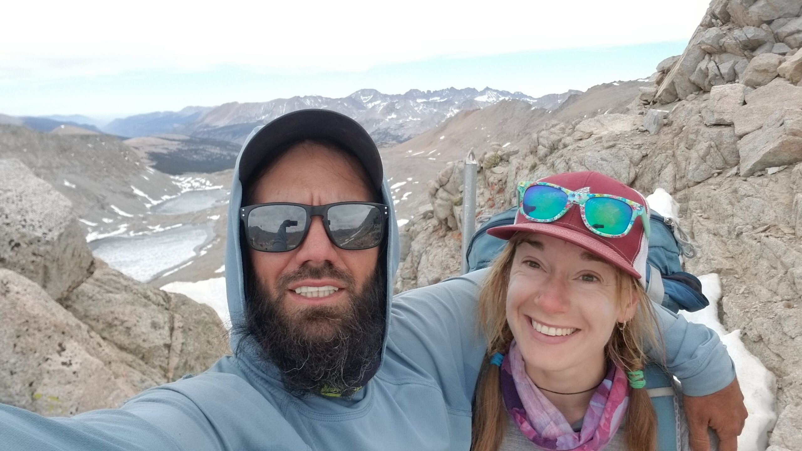
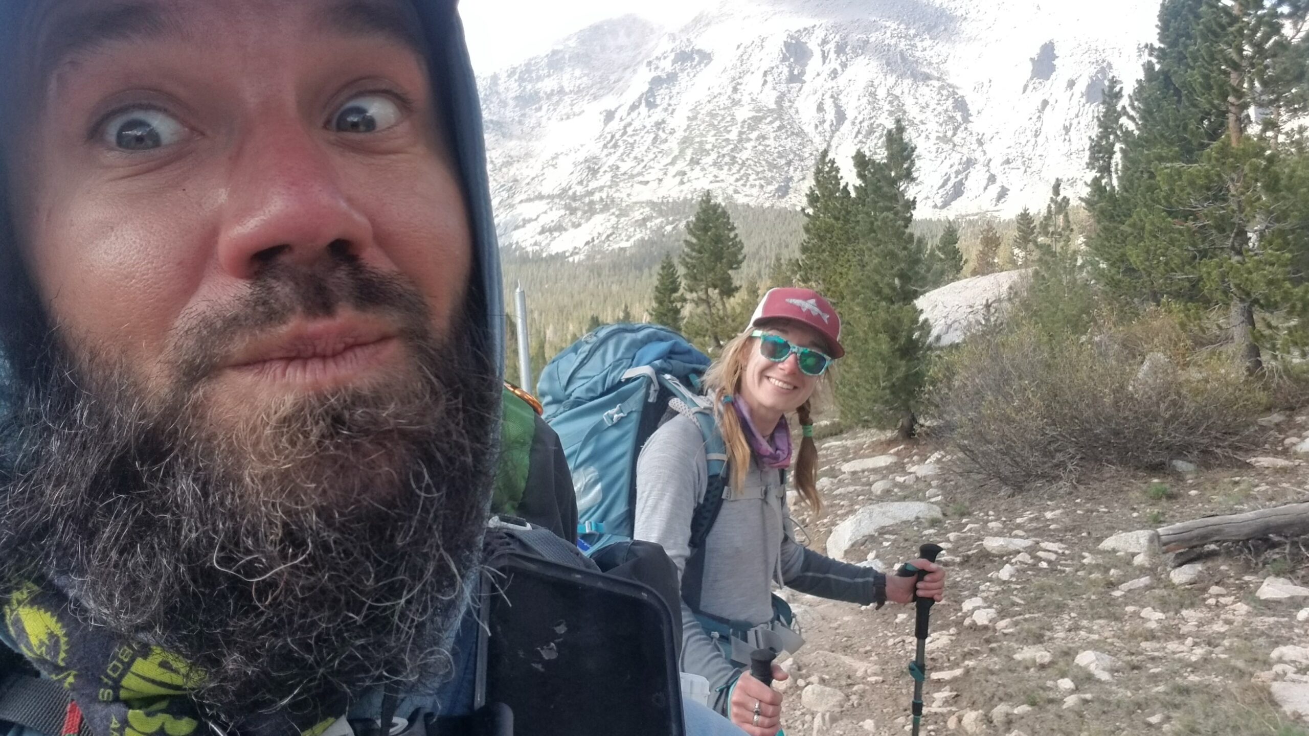
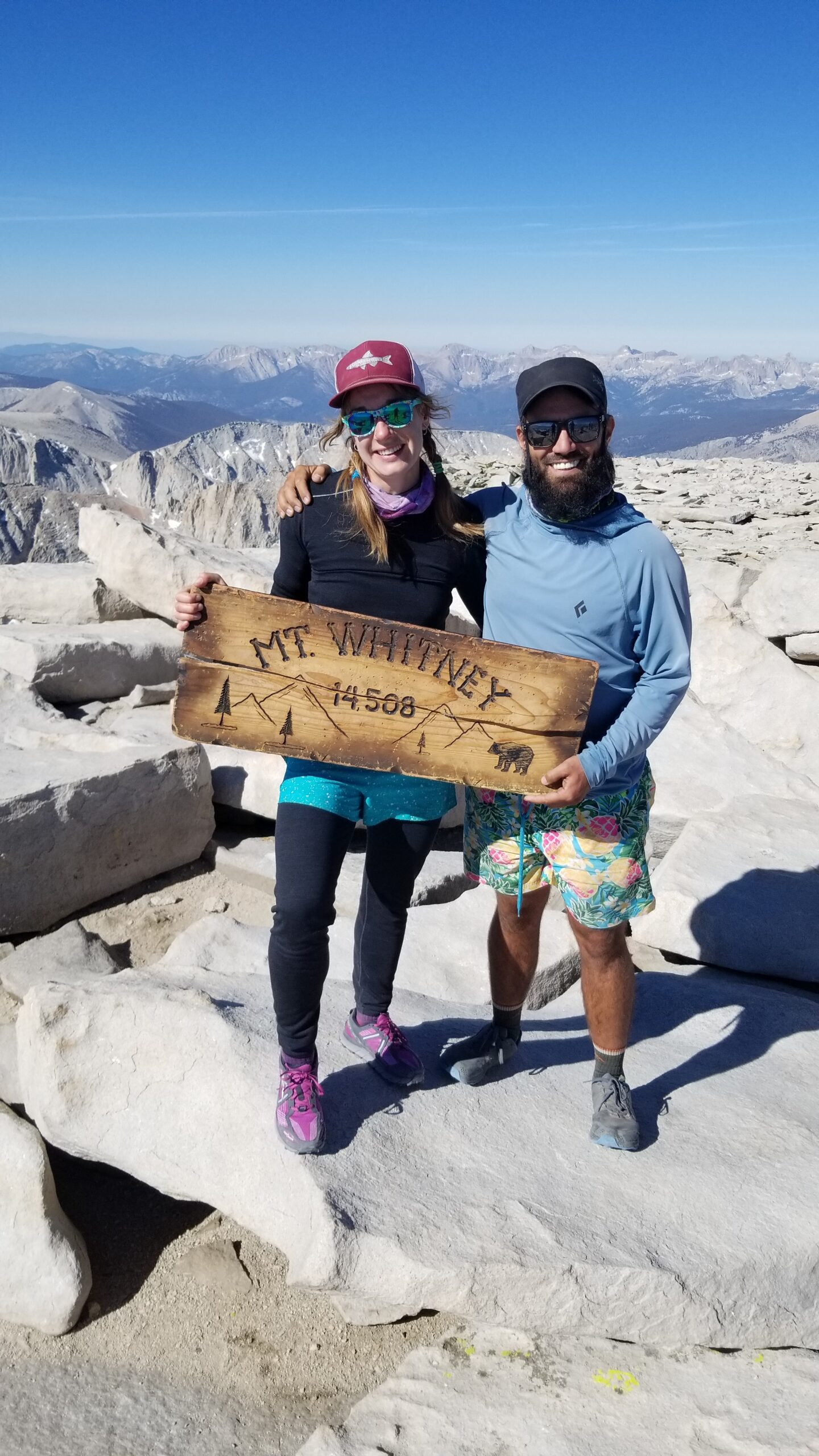
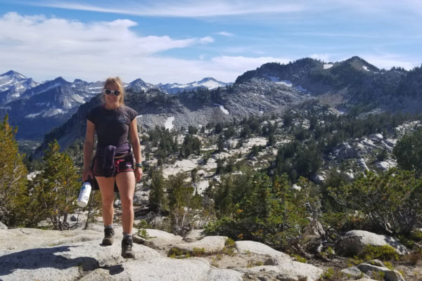
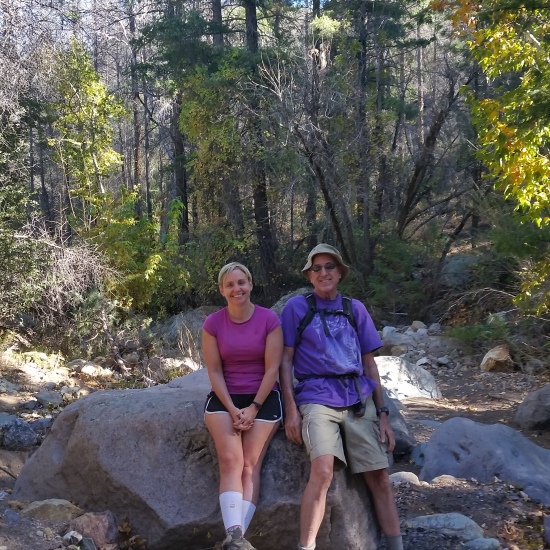
We debated on how we felt about being at the end of our adventure. It seemed pretty bitter sweet, we both knew it was time to end, but really appreciated the experiences that we were privileged to have had in this high altitude paradise. You can’t really put into words what it felt like to wake up in a tent 5 days from nowhere and having the most raw beautiful wilderness outside your tent. We both really appreciated this exclusive experience.

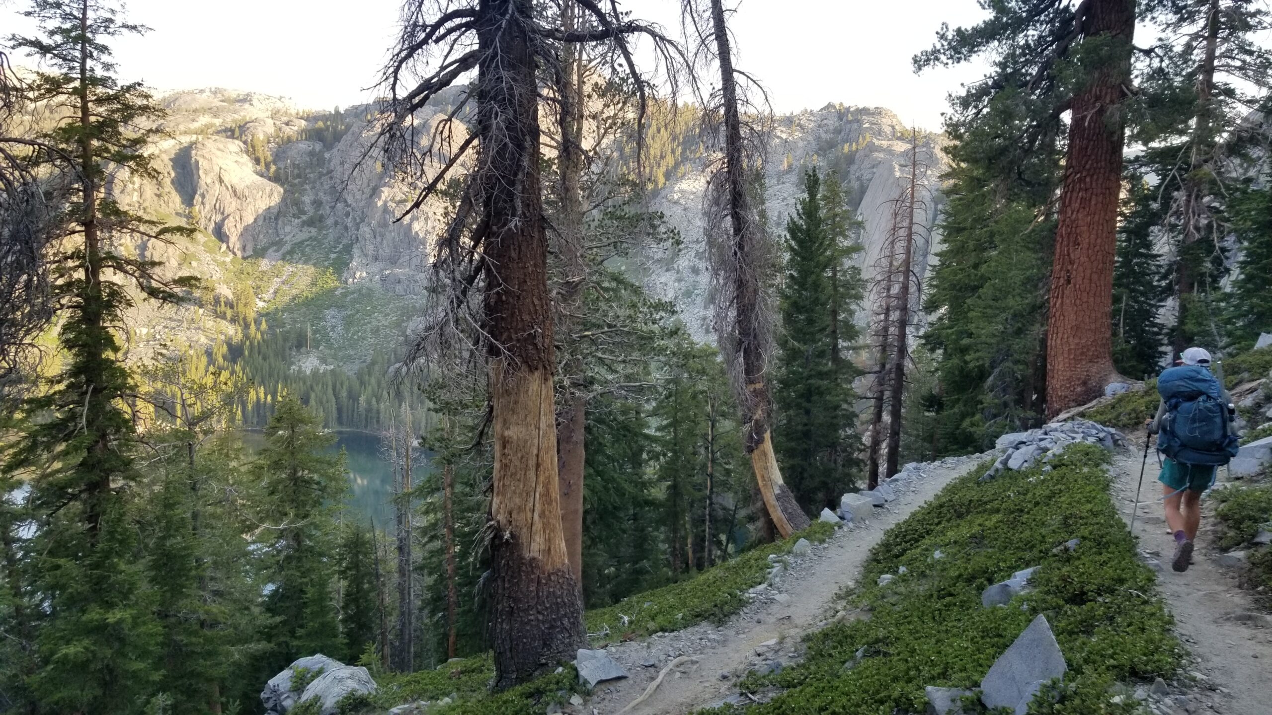
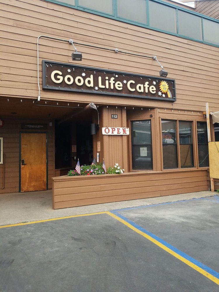
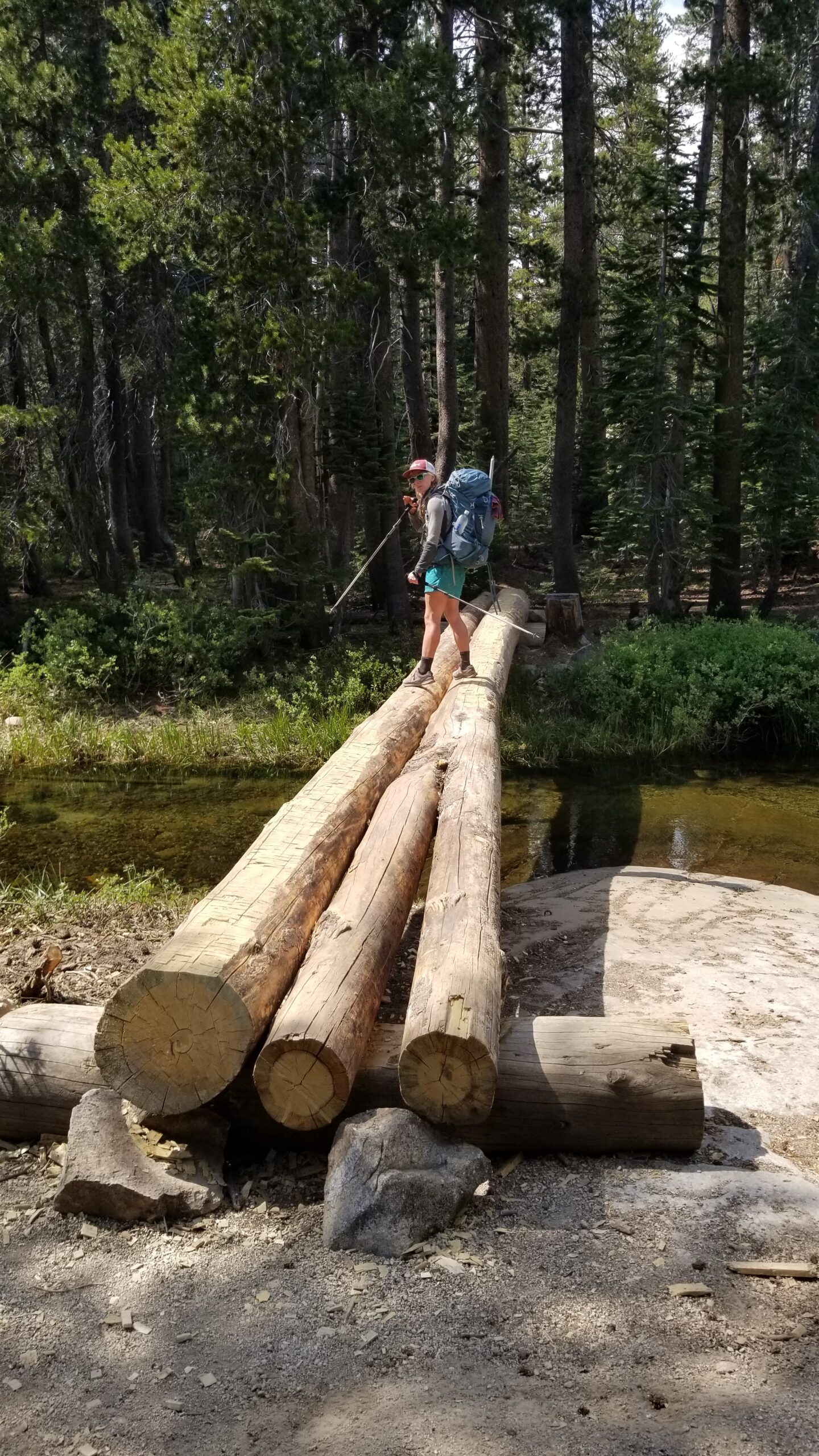
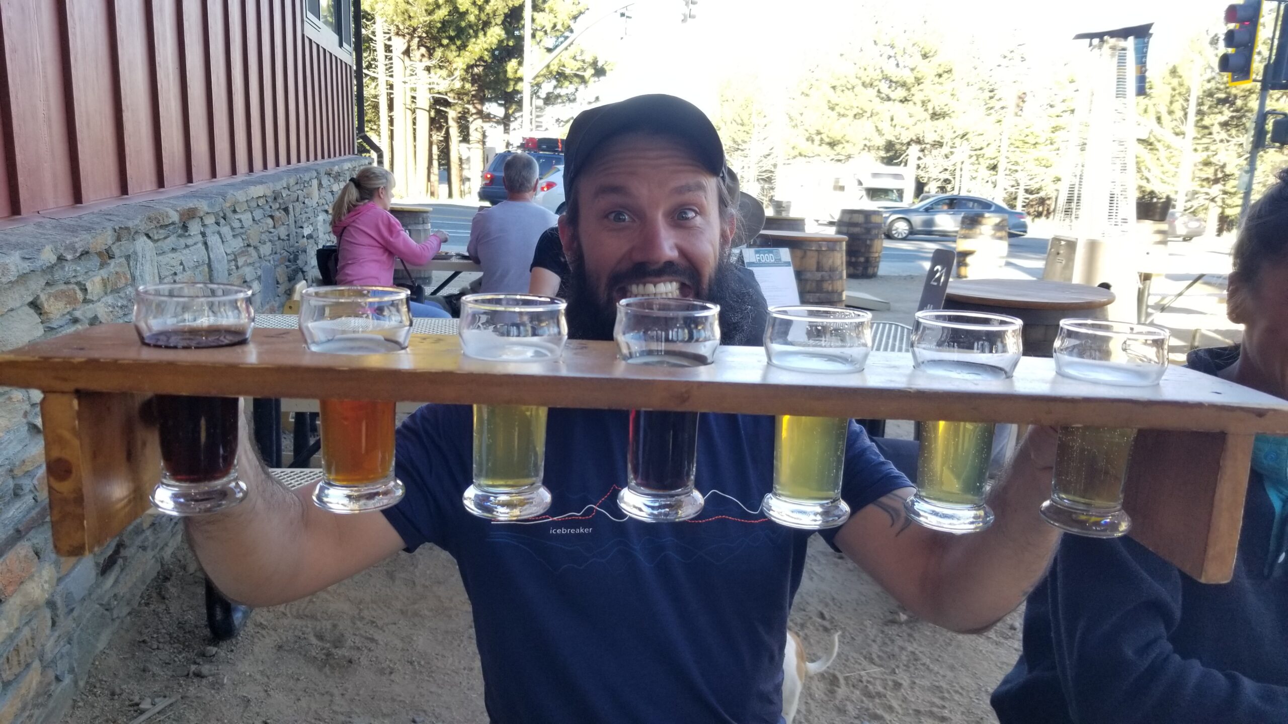
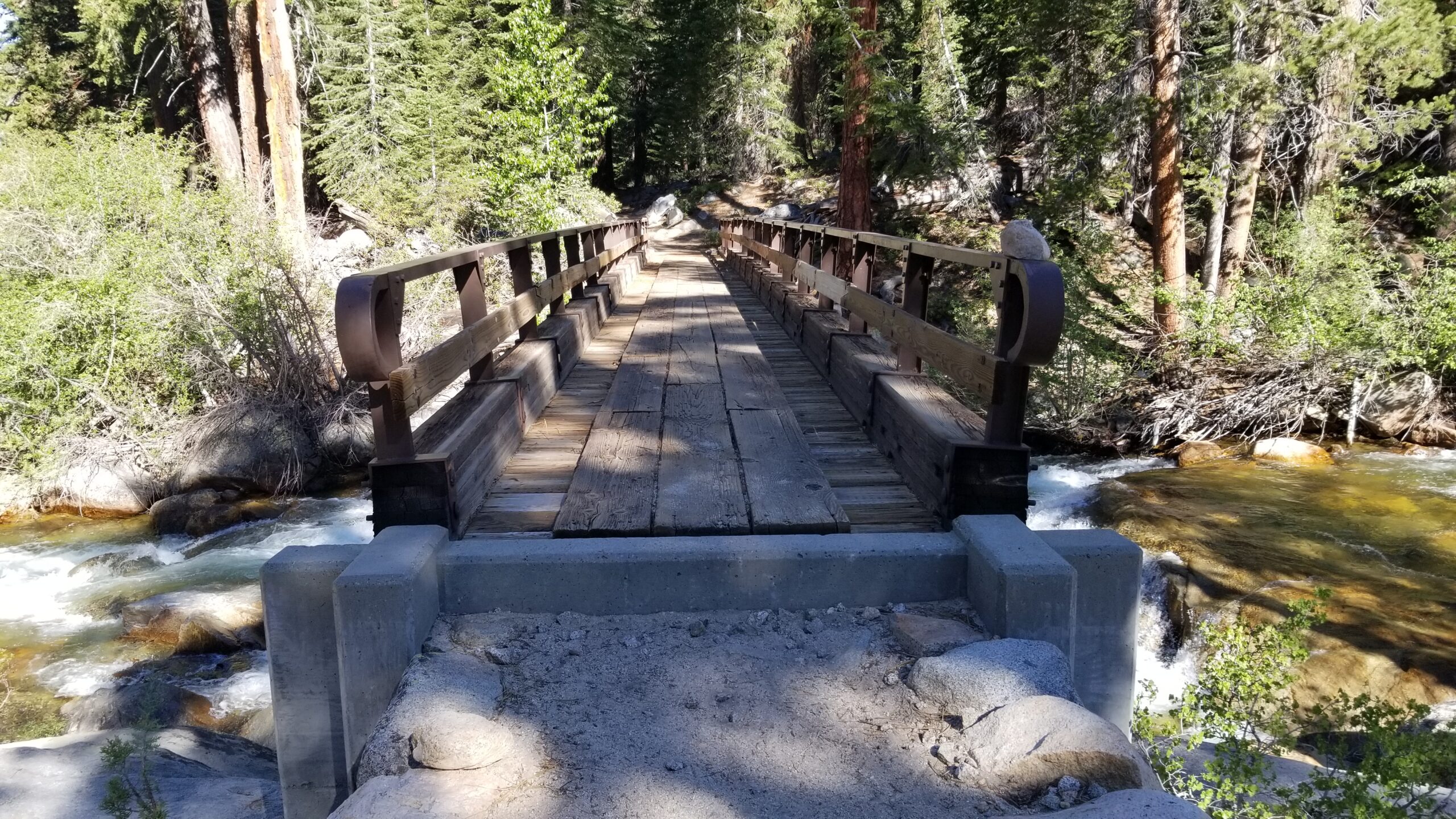
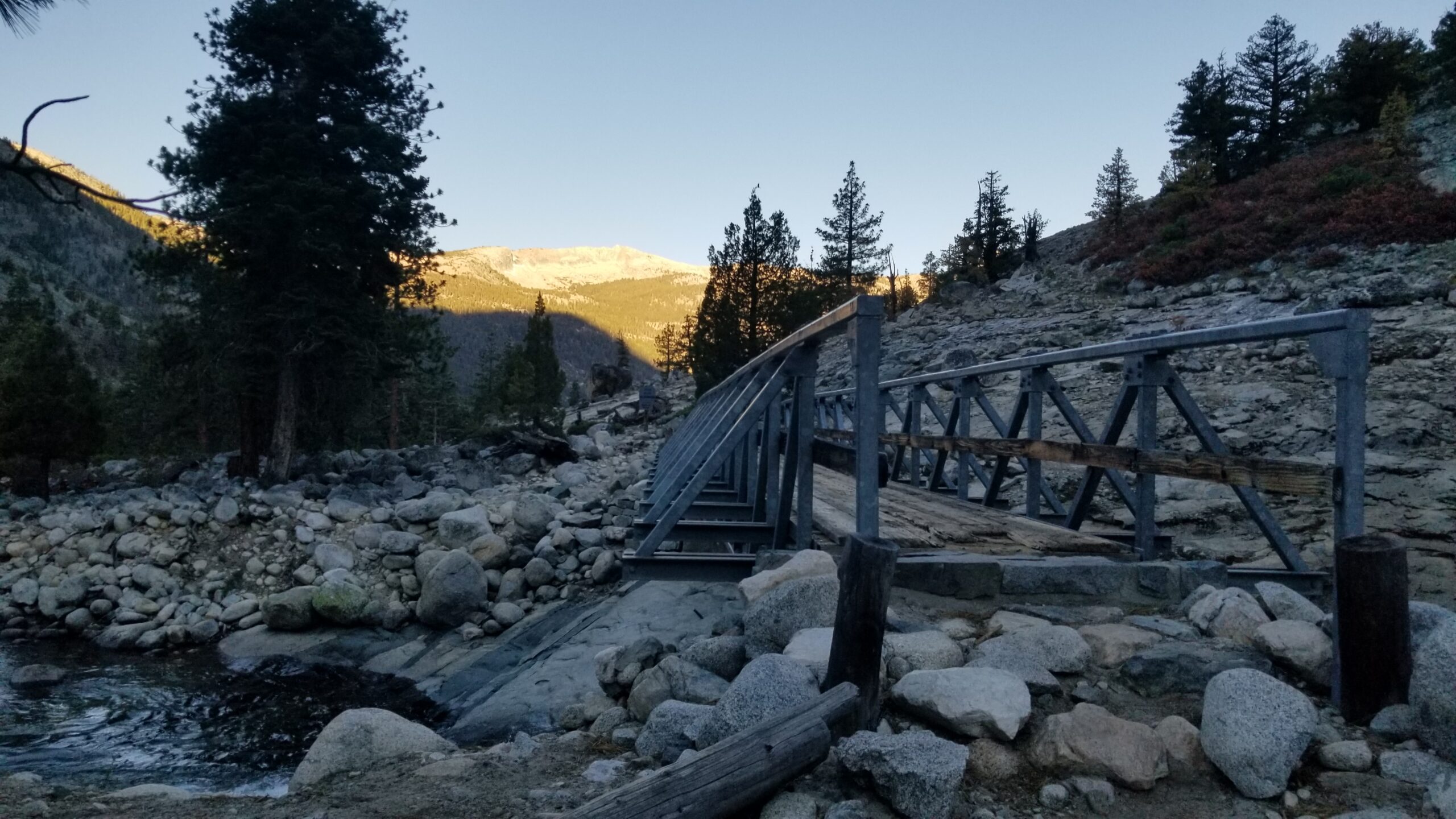
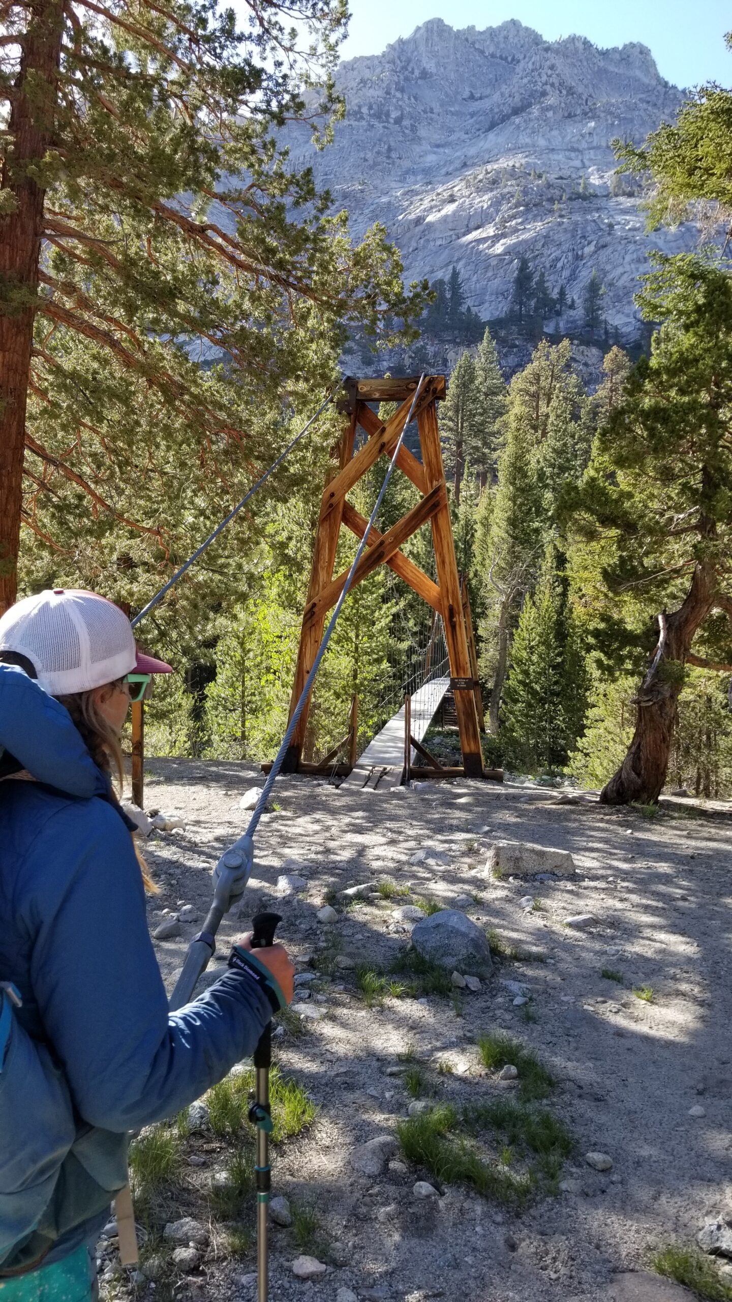
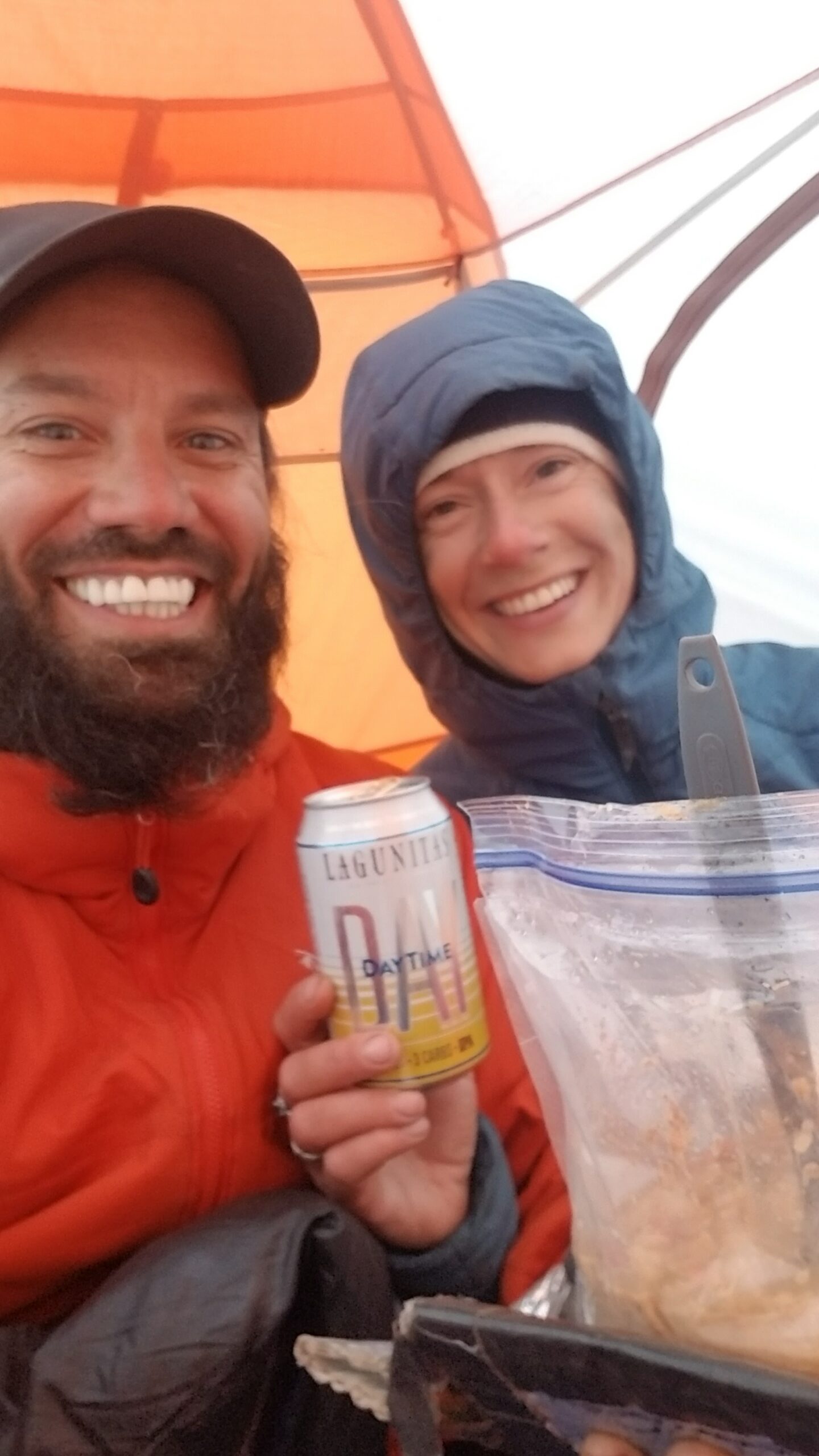
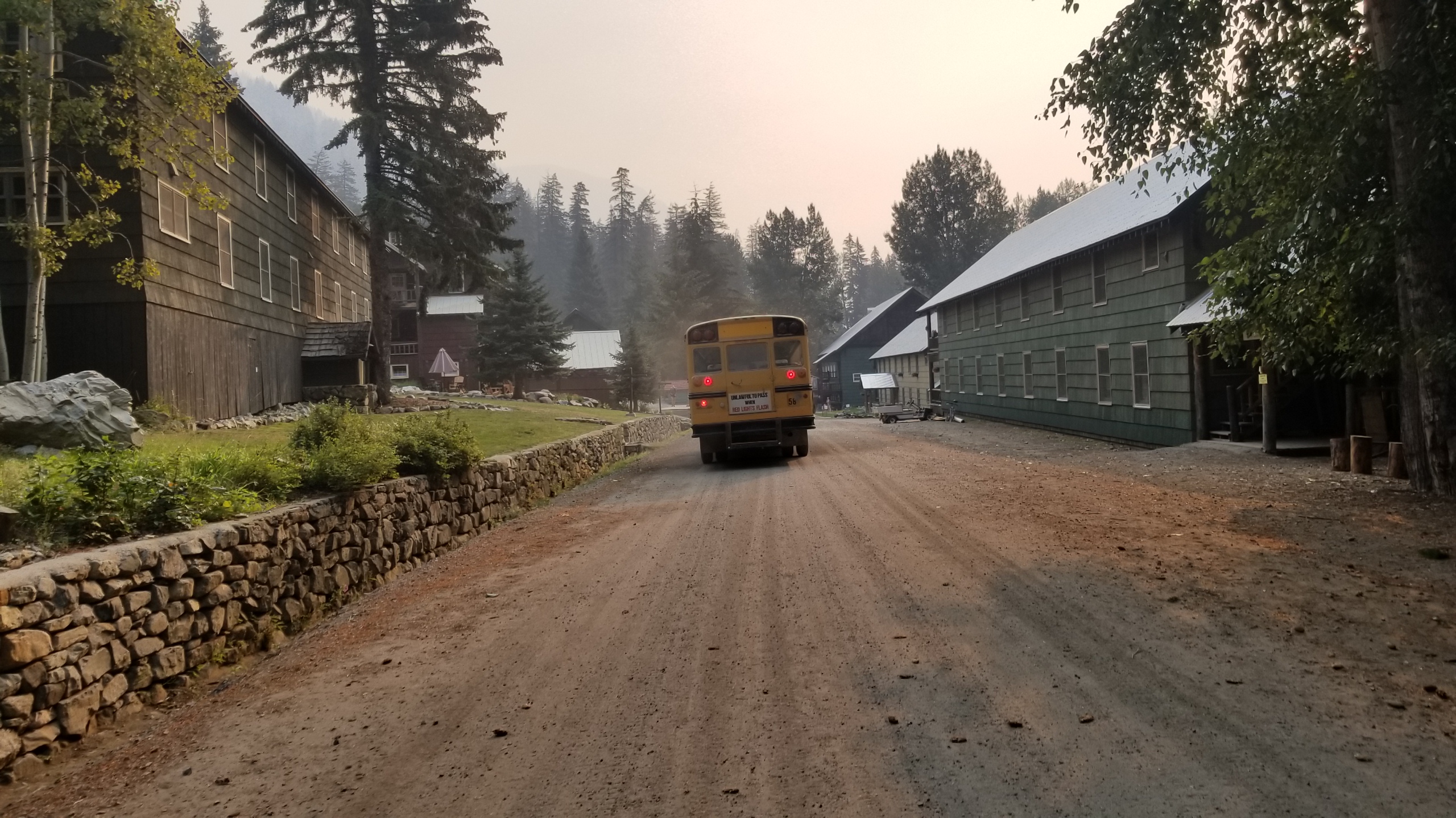
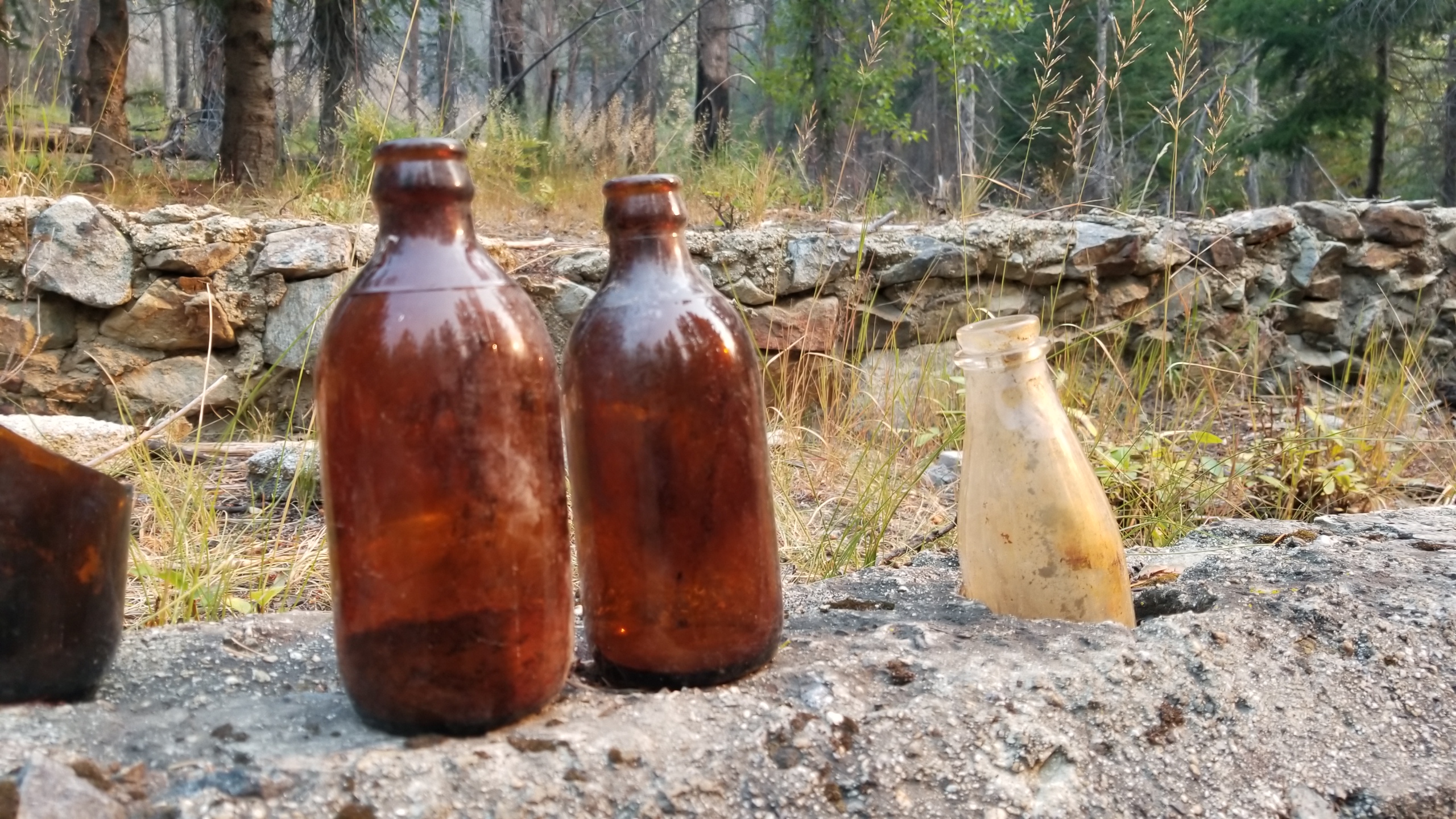
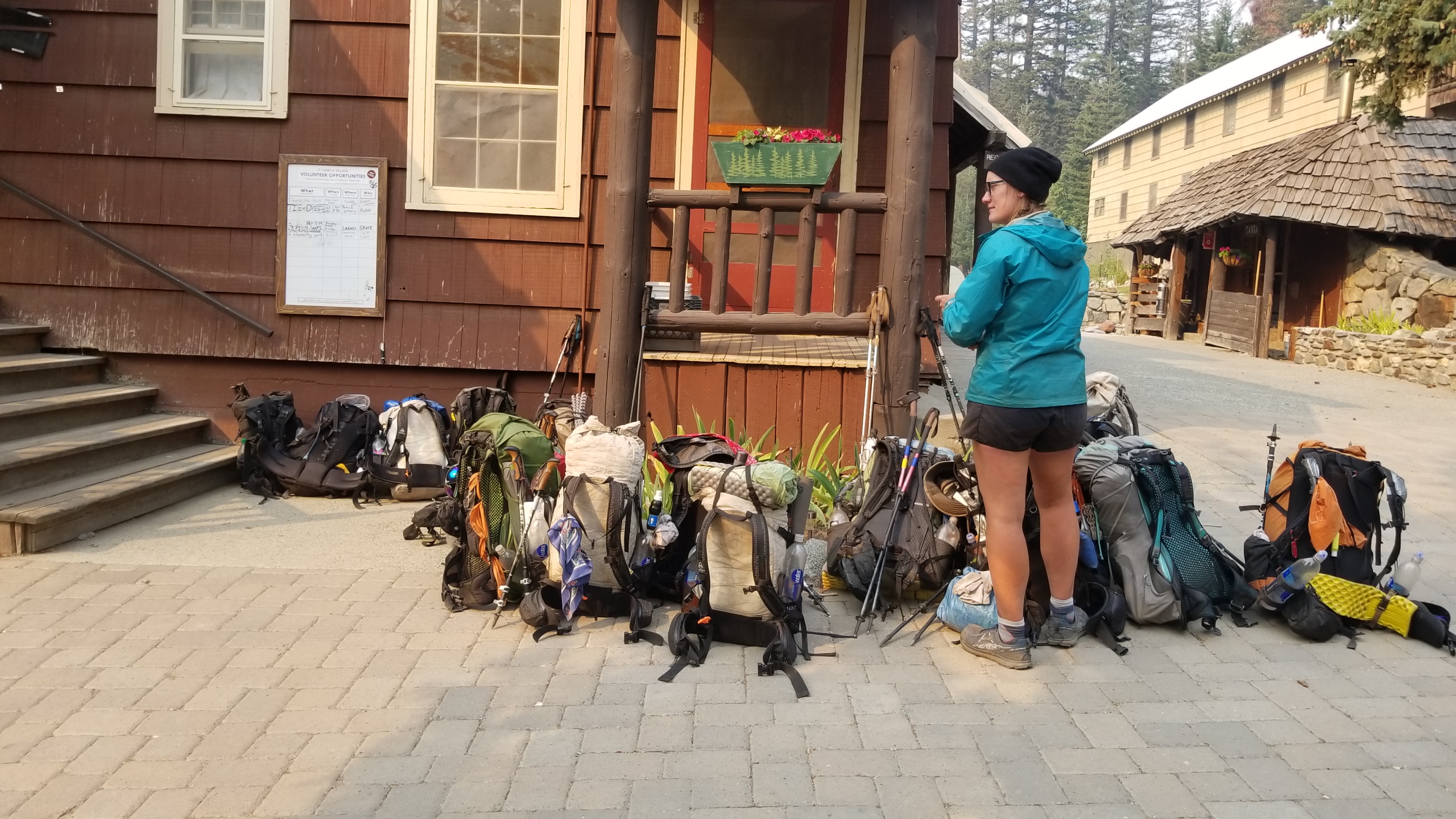
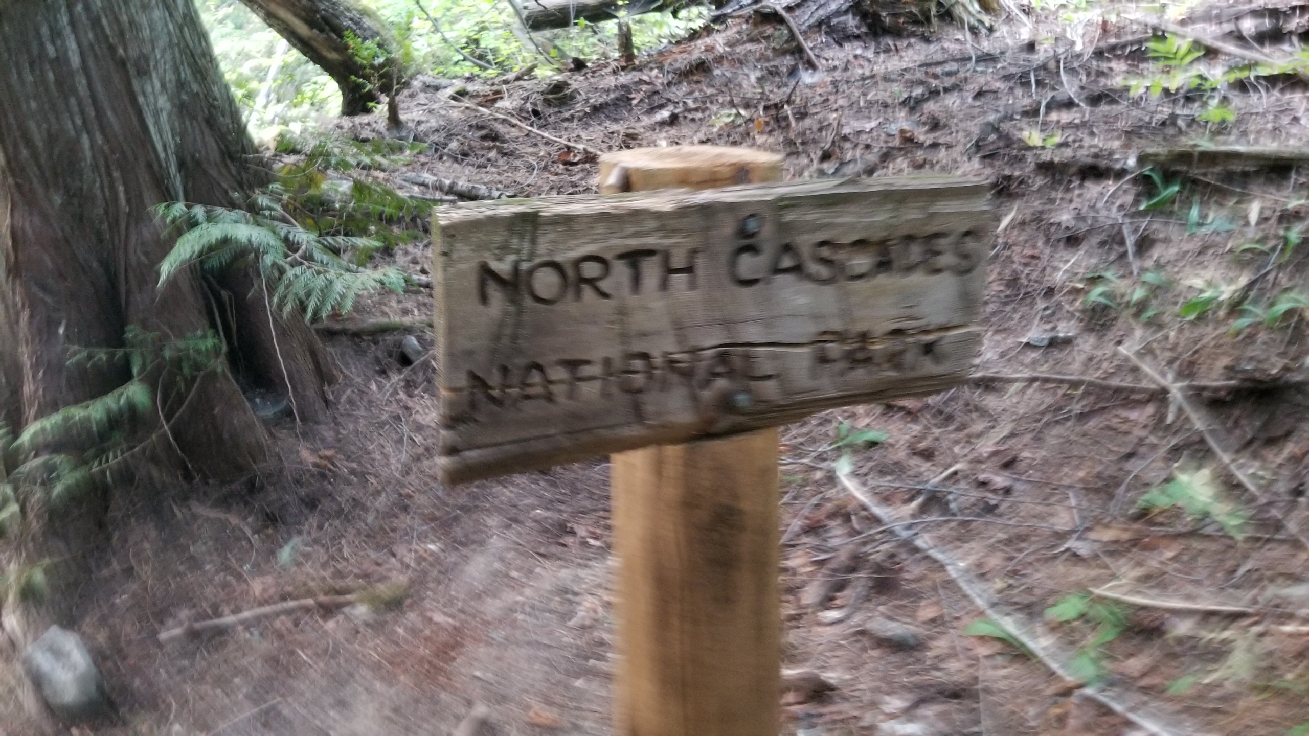
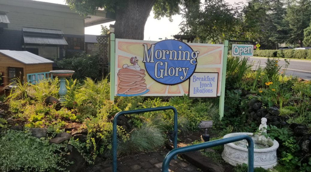
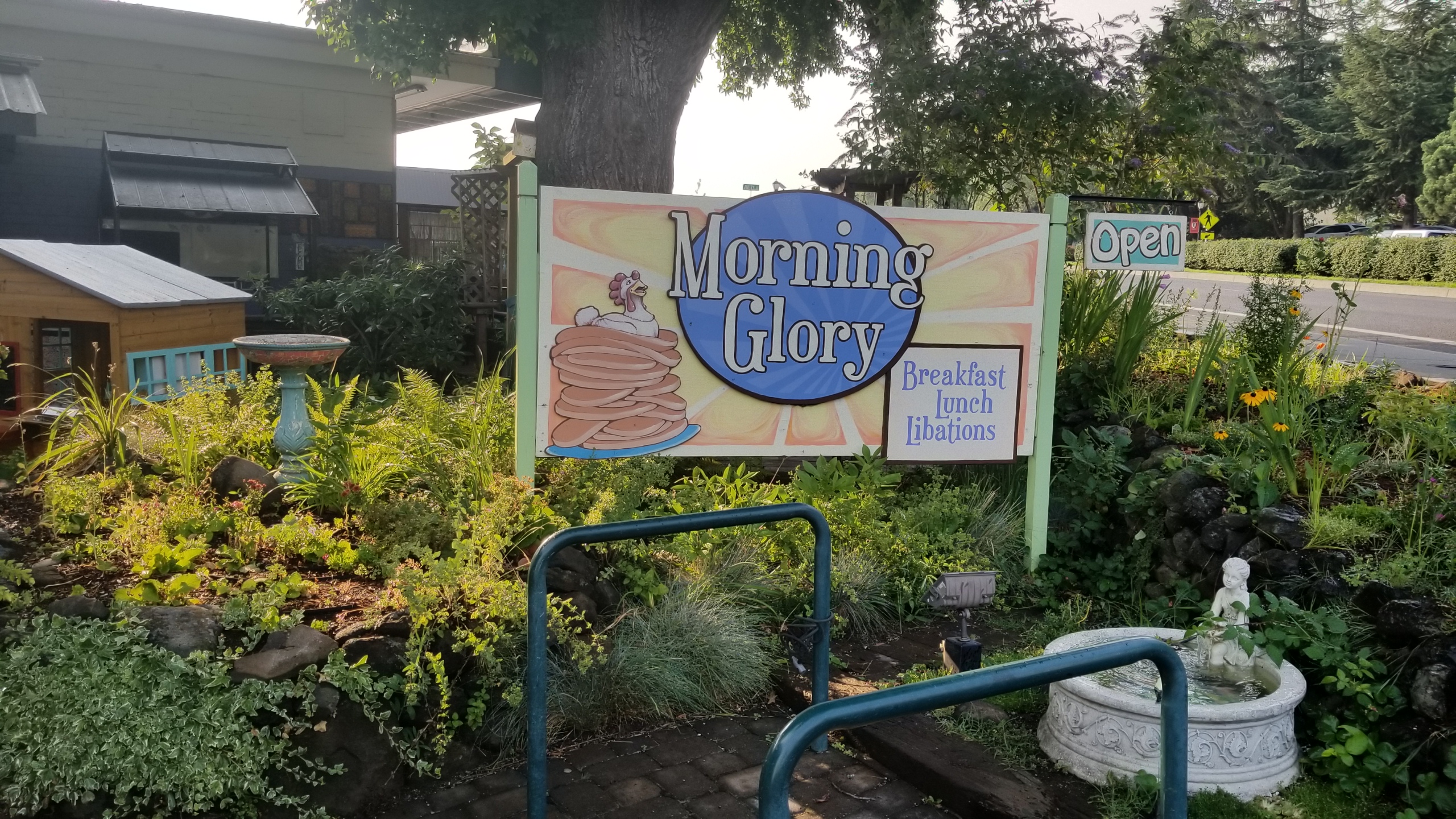
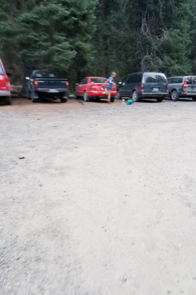
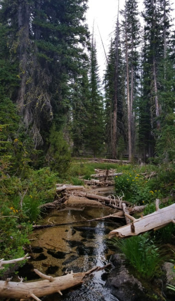
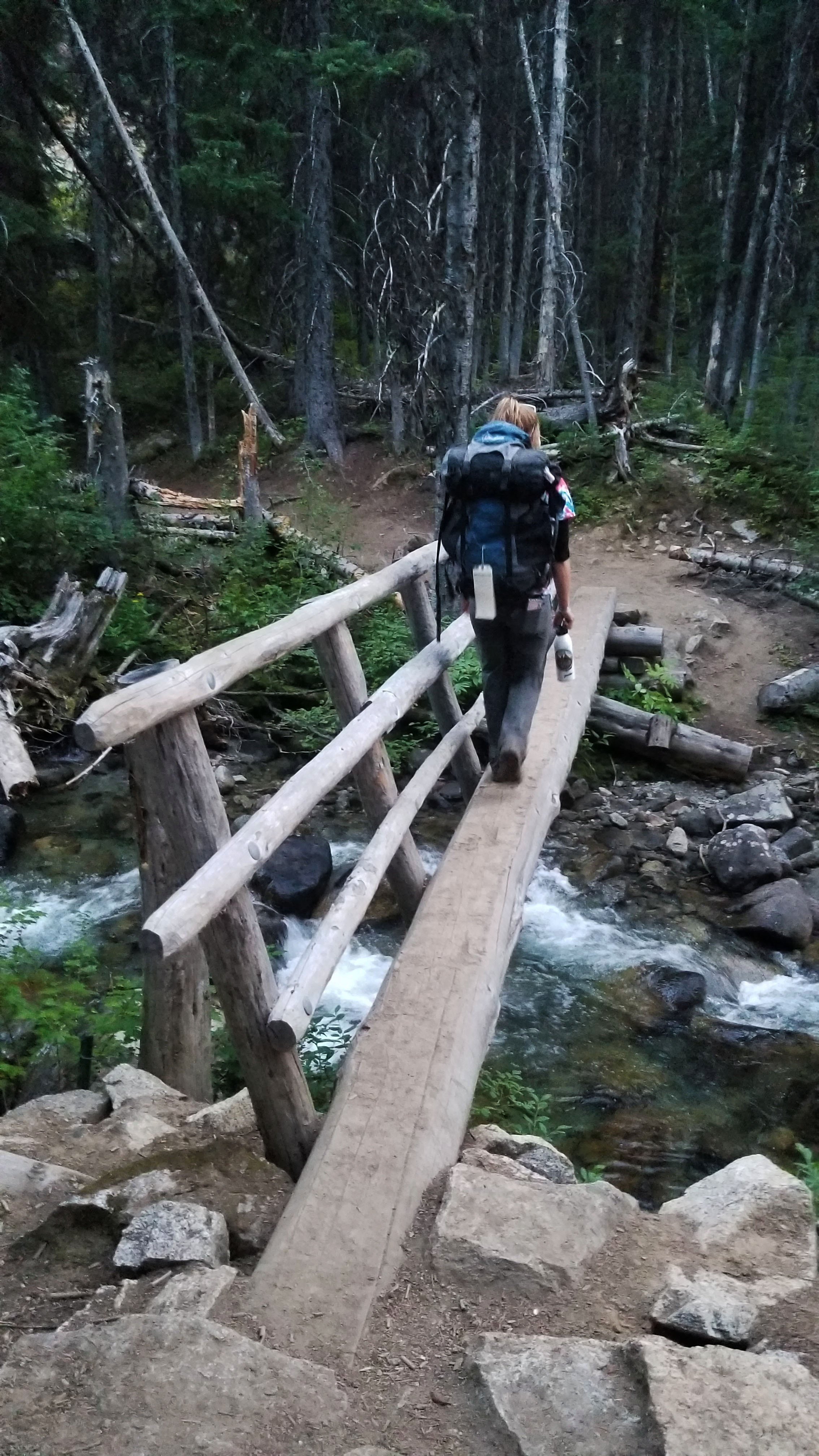
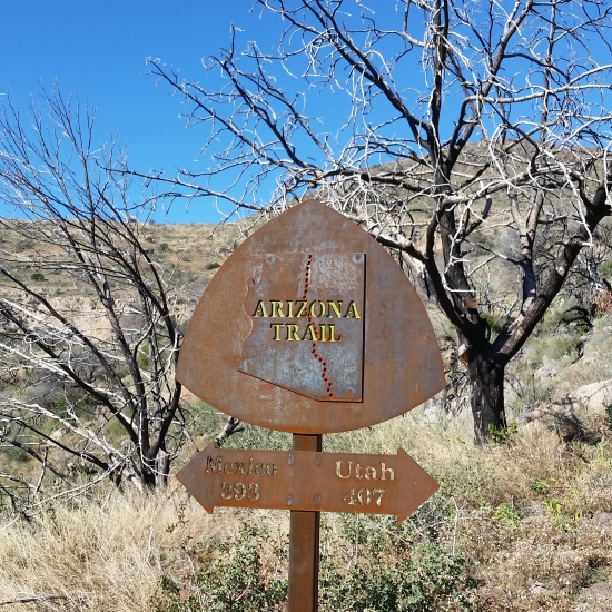
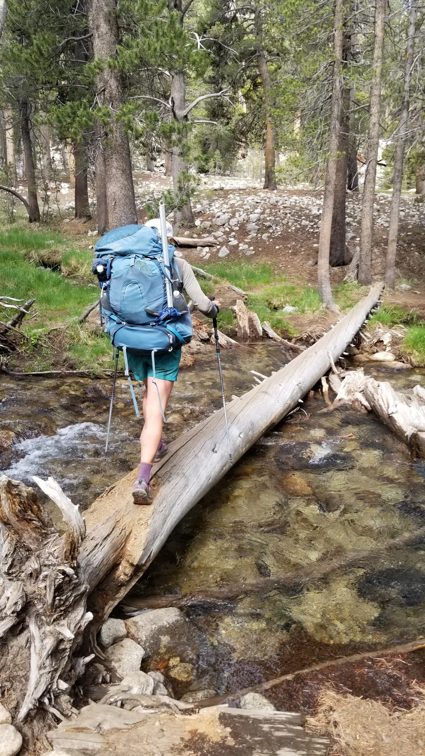
We plodded down the padded trail, crossed the Tuolumne river, and soon crossed the last creek just before the parking lot where our van awaited. We had completed our journey, 200 miles through some of the most untouched beautiful trails in the country in the heart of California. It was another great day, and a good meal and beer awaited us at the general store!
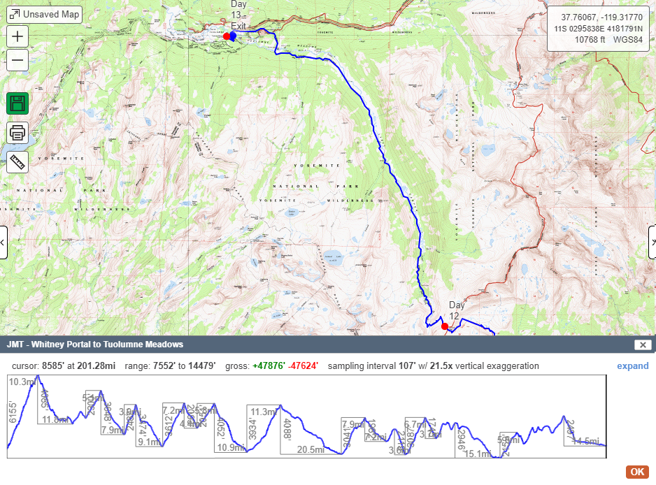
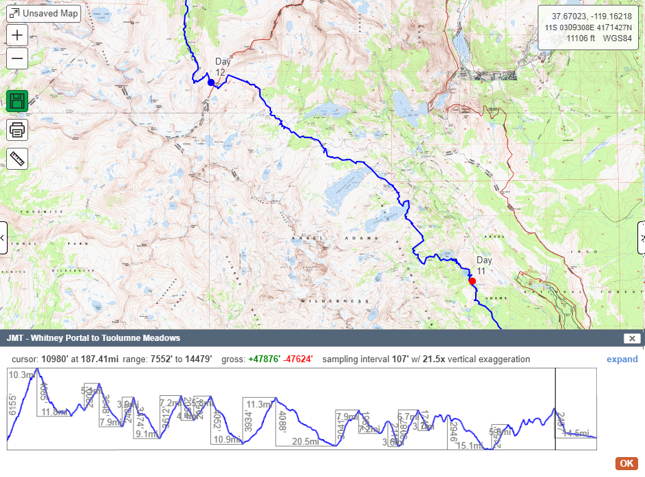
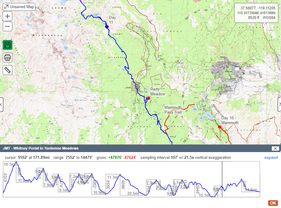
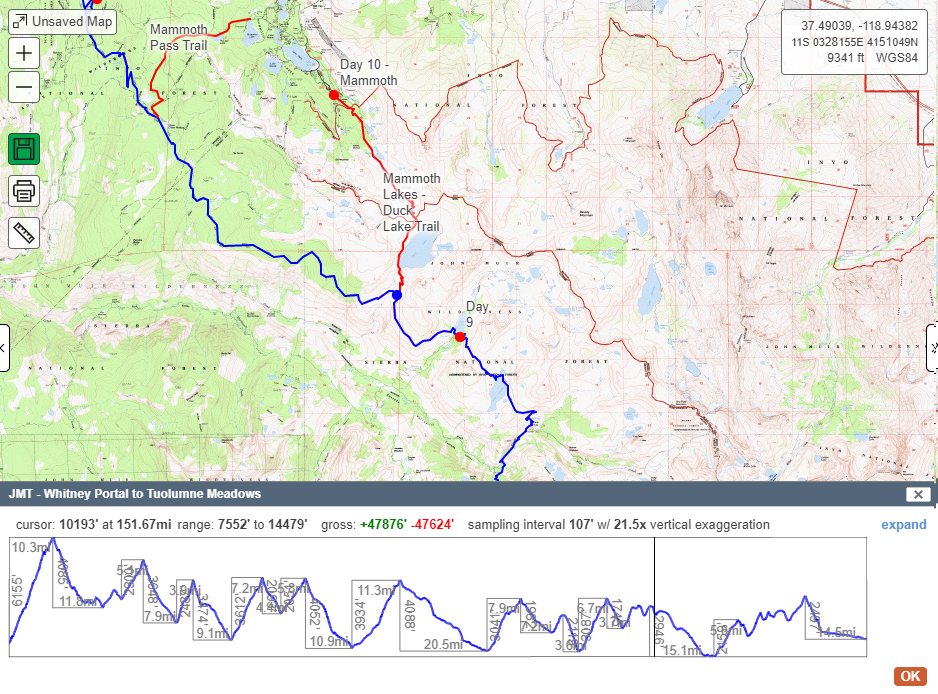
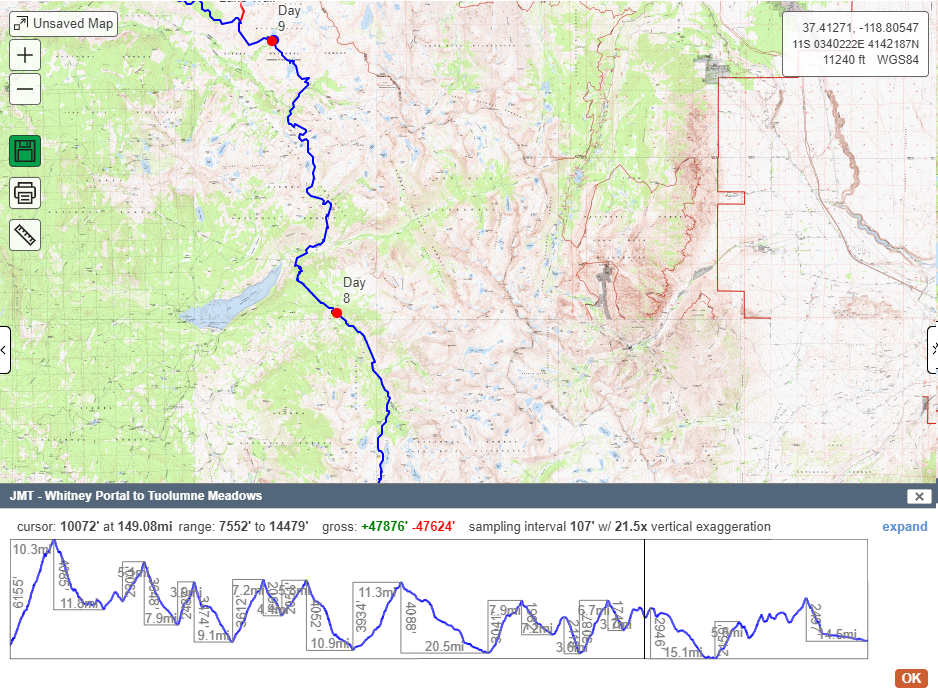
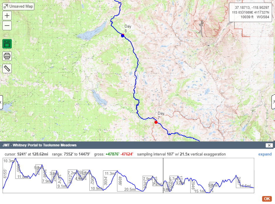
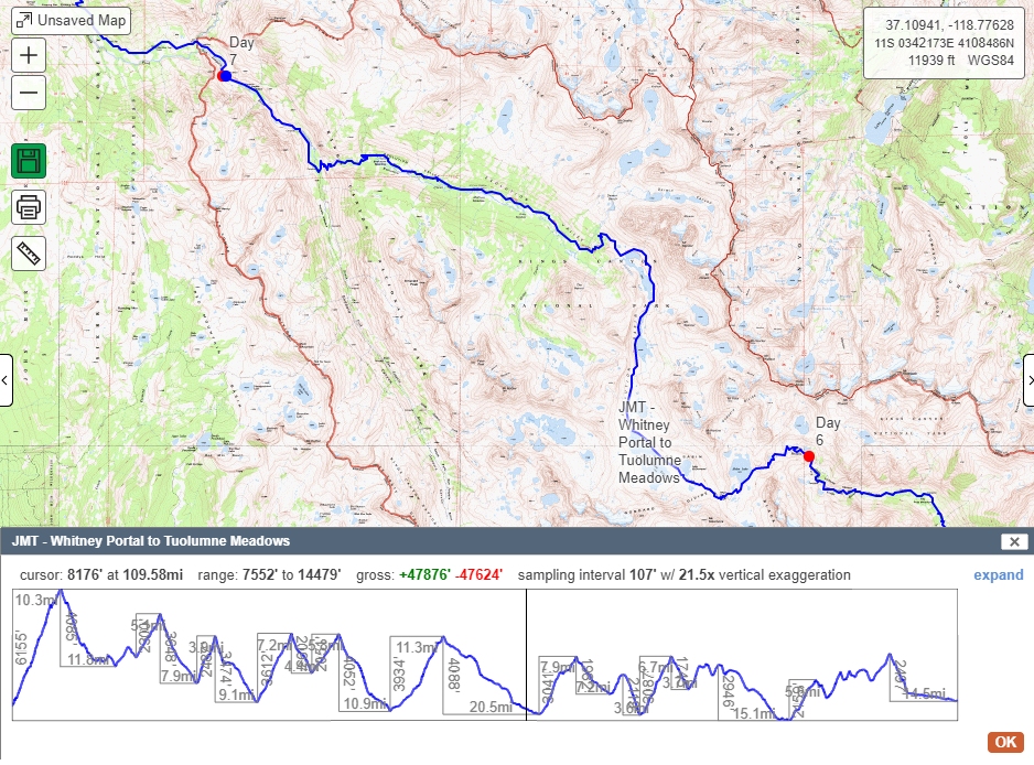
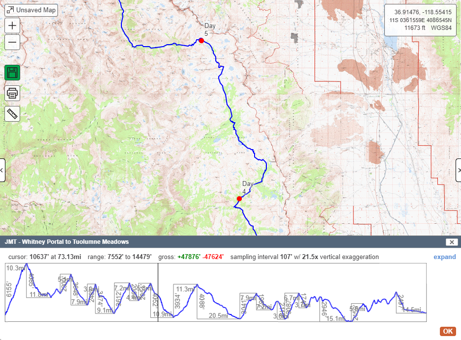
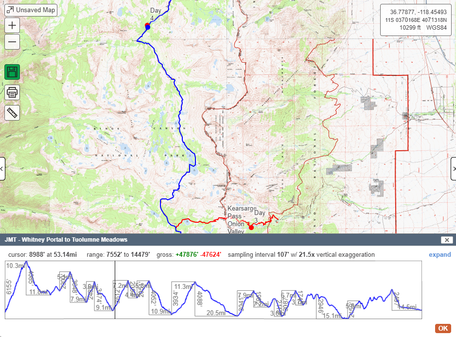
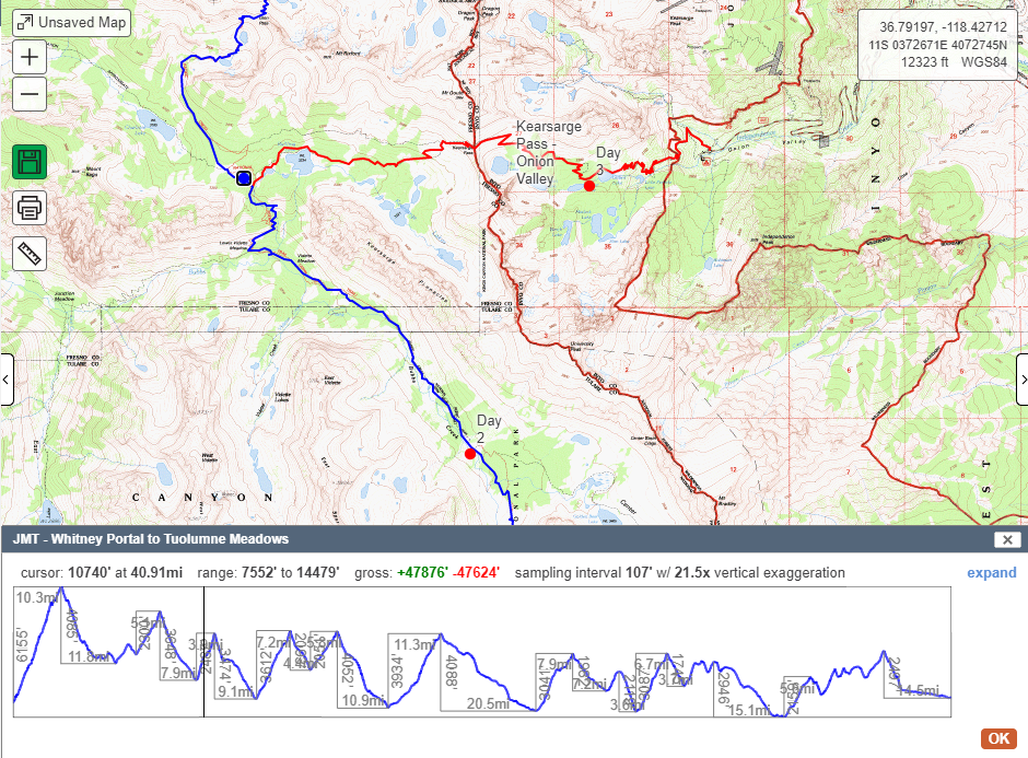
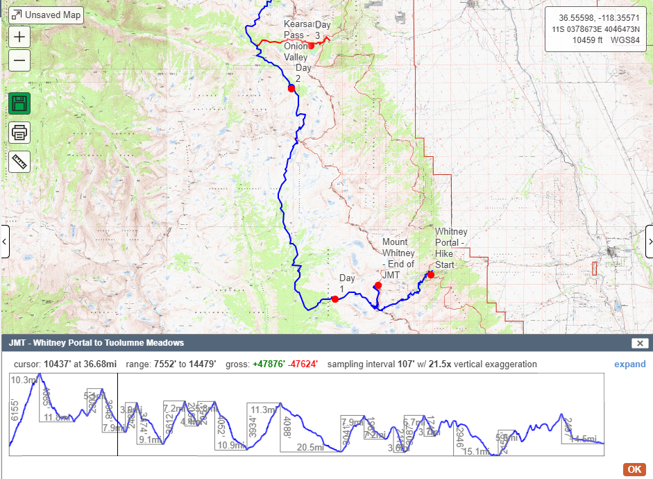
- Hike Stats – Total Miles: 12
- JMT Miles: 12 (188-200)