
11:30 pm and the alarm blasted. The trees were all black now with some stars peeping through as I checked the time, nudged Izzie to start getting ready, and fired up the JetBoil for the much needed coffee to shake off the 3 hour nap we took under the forest at Whitney Portal. We were soon sorted, packs on, taking our first steps on the trail guided by our little bubbles of headlamp light. The town of Independence gleamed behind us to the west in the undoubtedly hot valley below, I was glad we were headed up into the alpine.
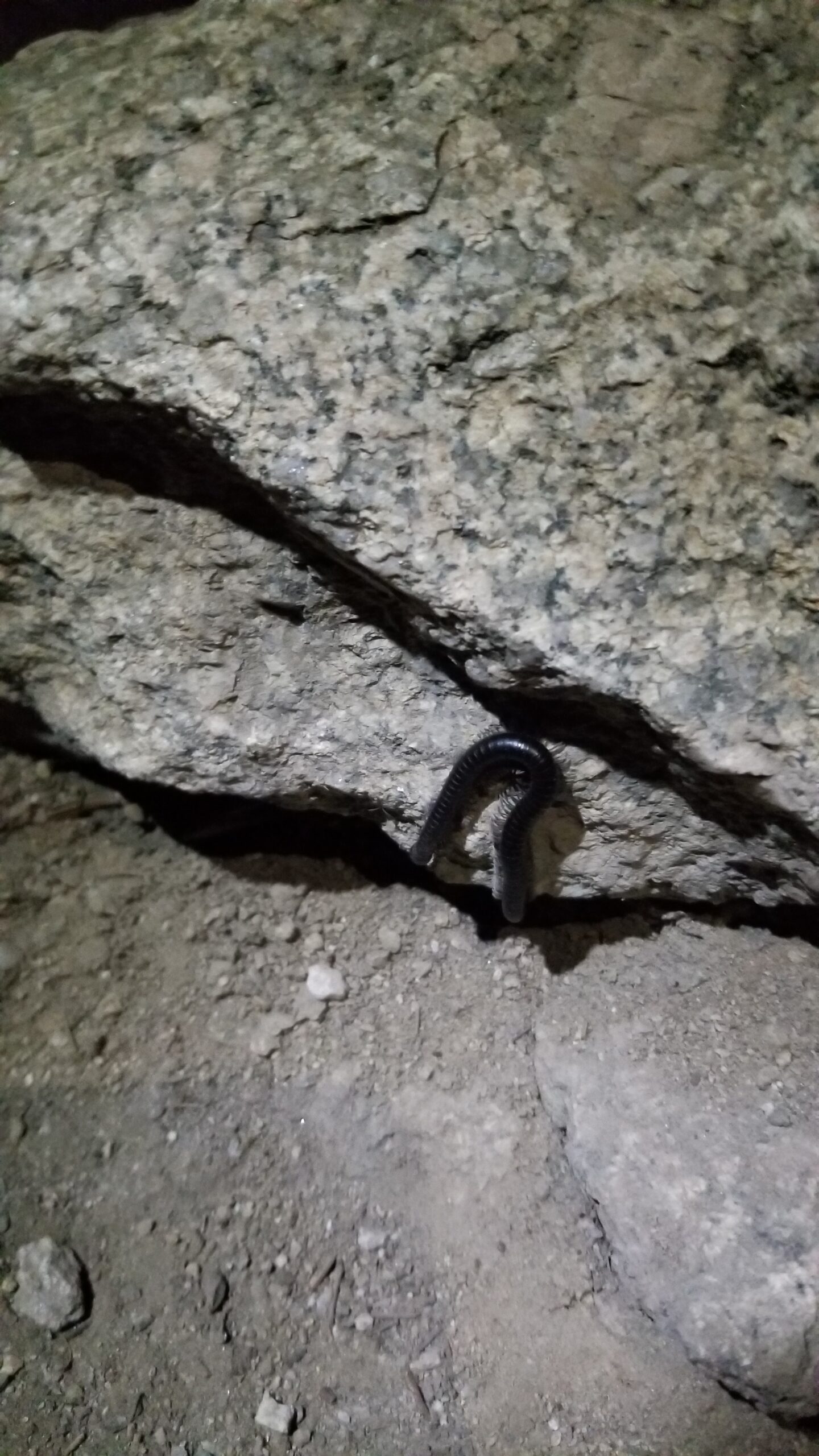
Miles went quick to the soundtrack of Lone Pine Creek roaring like a ferocious tiger in the night as we plodded up the canyon. The stars shone high above, blocked out only by the giant stone faces lurking in the dark. The dusty trail slithered through huge foxtail pines, up and around a maze of granite boulders. Sometimes we found millipedes on the trail, or the occasional flash of a mouse all under an amazing blanket of stars.
It was 3pm before we found our first snow patch, and in the dead of night the exhaustion started scratching at the back of our eyes, a stumble here or there shocked us back into alertness for fear of twisting an ankle.
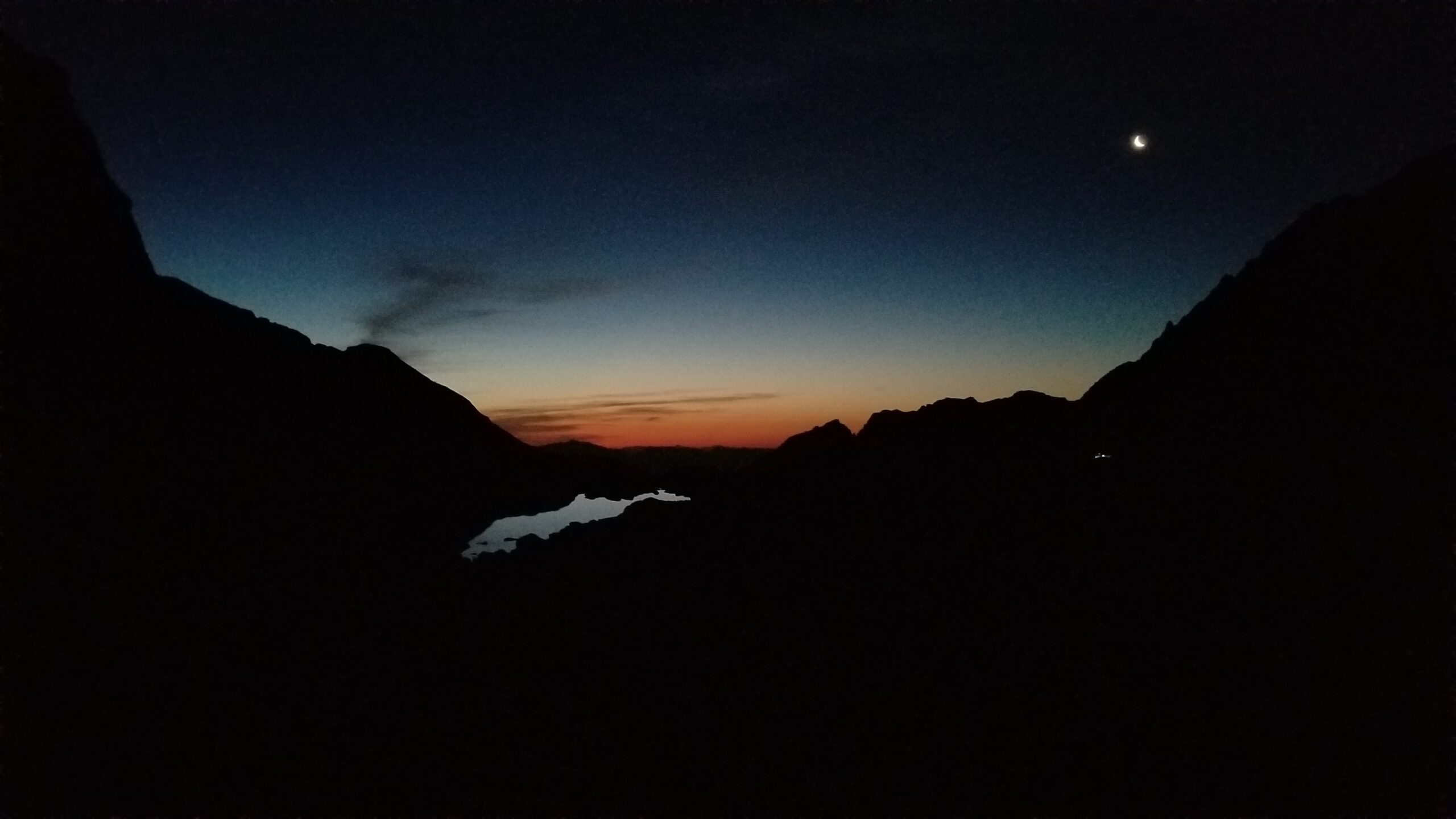
Finally the moon started to rise, and soon behind it the gleam of pink twilight from the rising sun revitalized our steady march. We were soon at the base of the 99 switchbacks and stopped to break out the Jetboil for a round of oatmeal and another instant cup of coffee. We watched the sun rise and stuffed our faces as we looked over the small camp below us, the mirror lake, and the gigantic granite faces coming into light with orange glow.
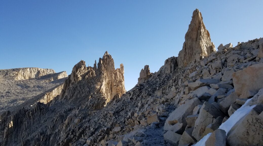
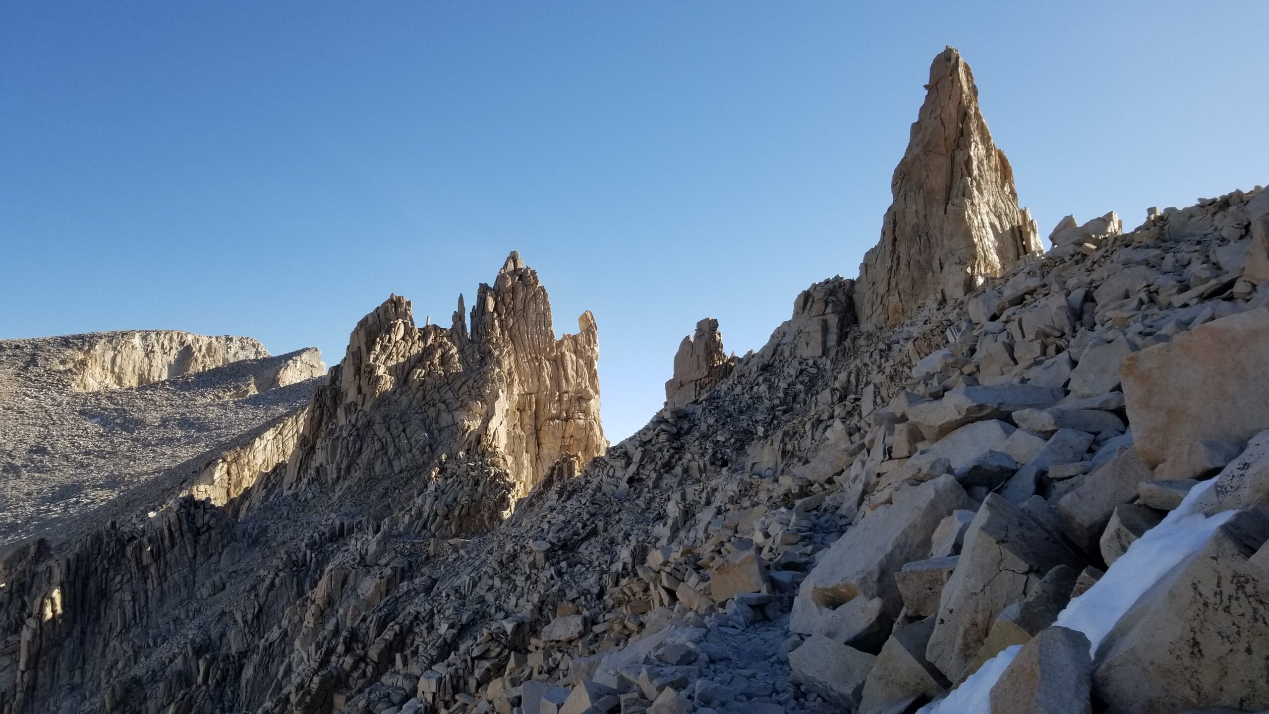
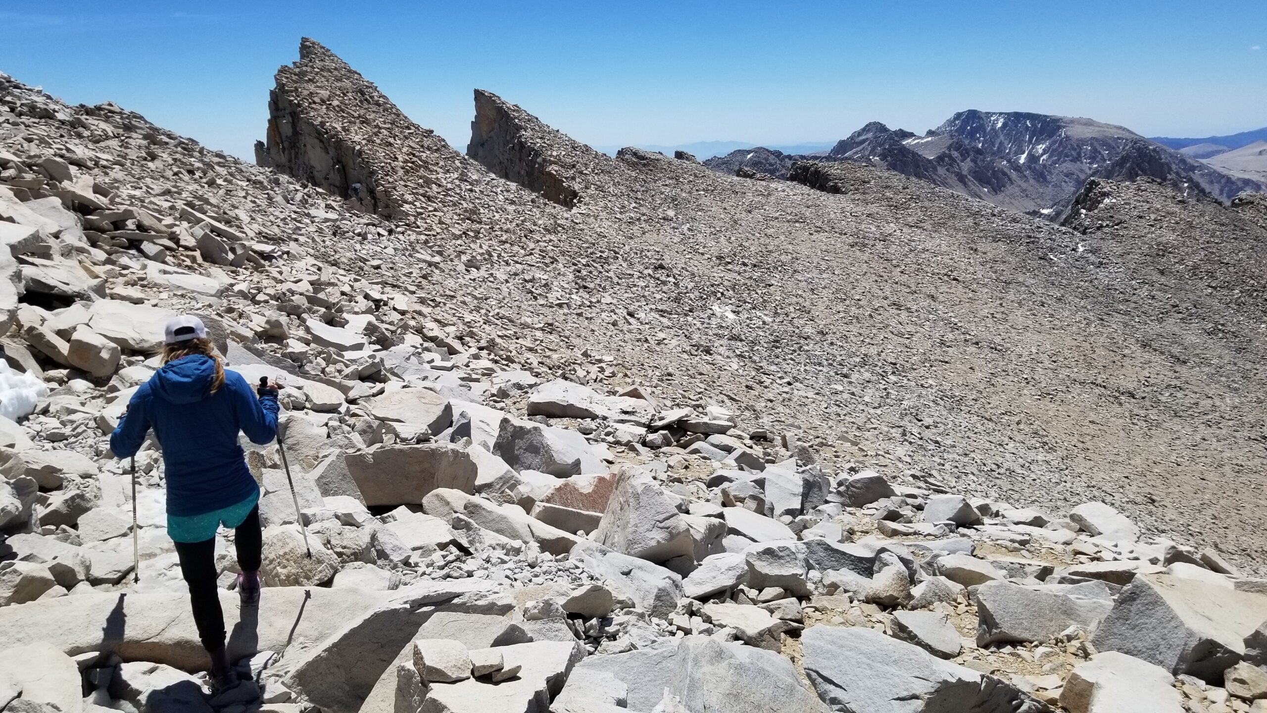
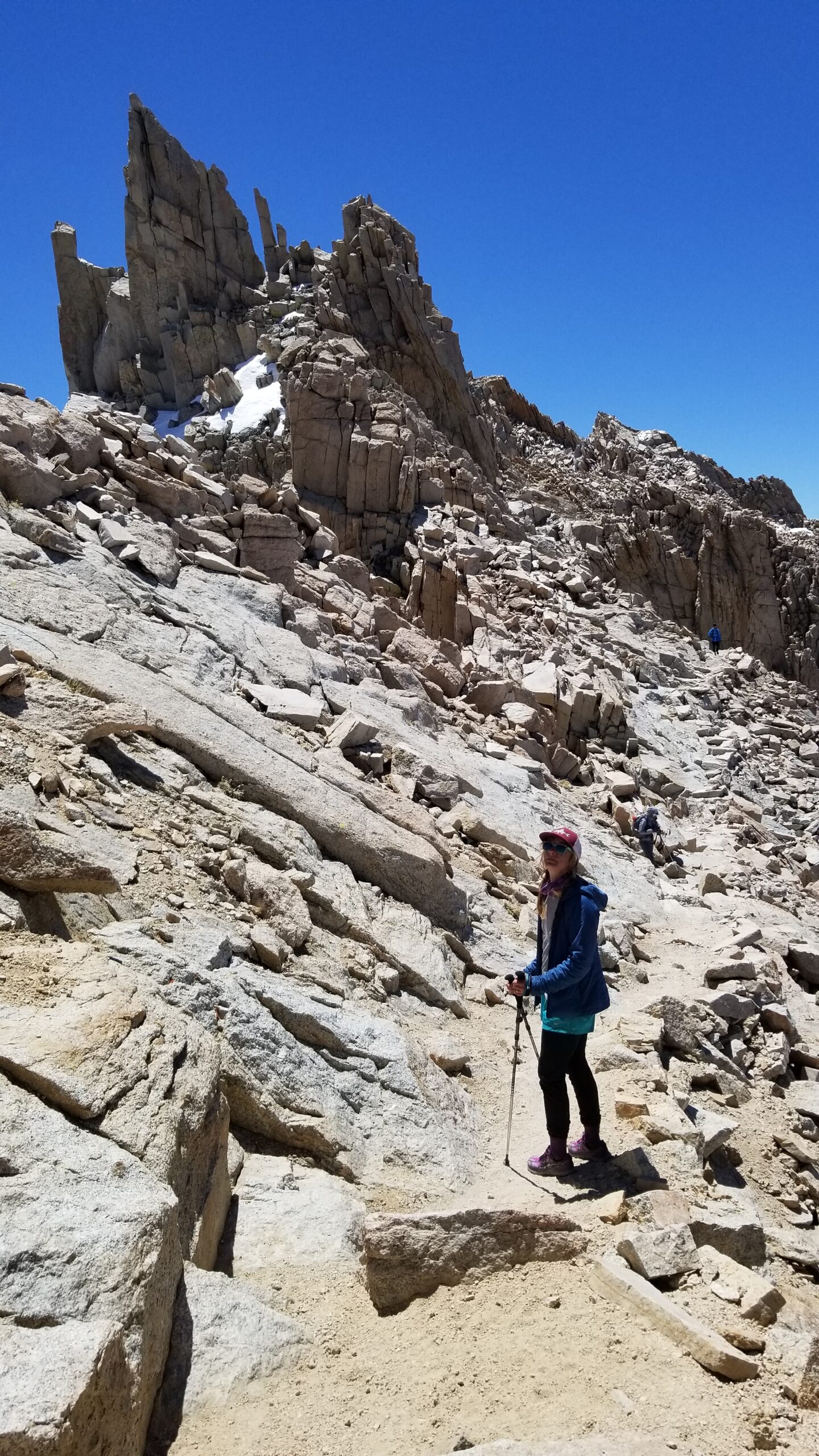
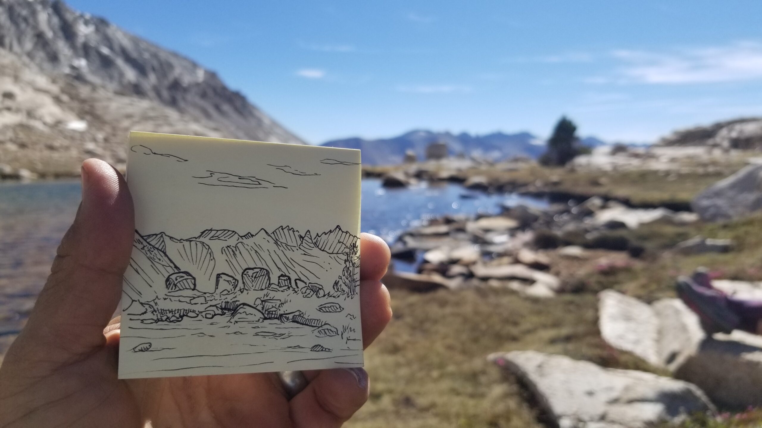
We were on the move again and as we rose in altitude, so did our heartrates. Even hiking a slow steady pace made you feel your heartbeat in your ears. We slowed, but finally made it to the pass just south of Mount Muir. Peering to the west we were slapped in the face with a sea of granite. It seemed to rise and fall all around us, yet frozen in time. Some great faces looked like a great granite pipe organ, while others looked like a million fingers reaching for heaven.
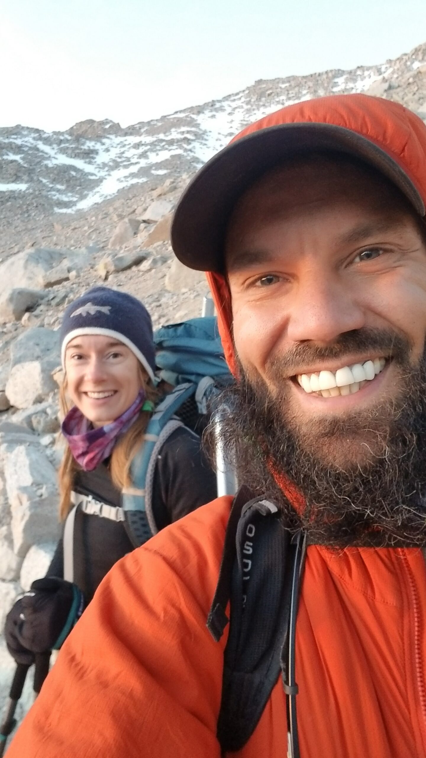
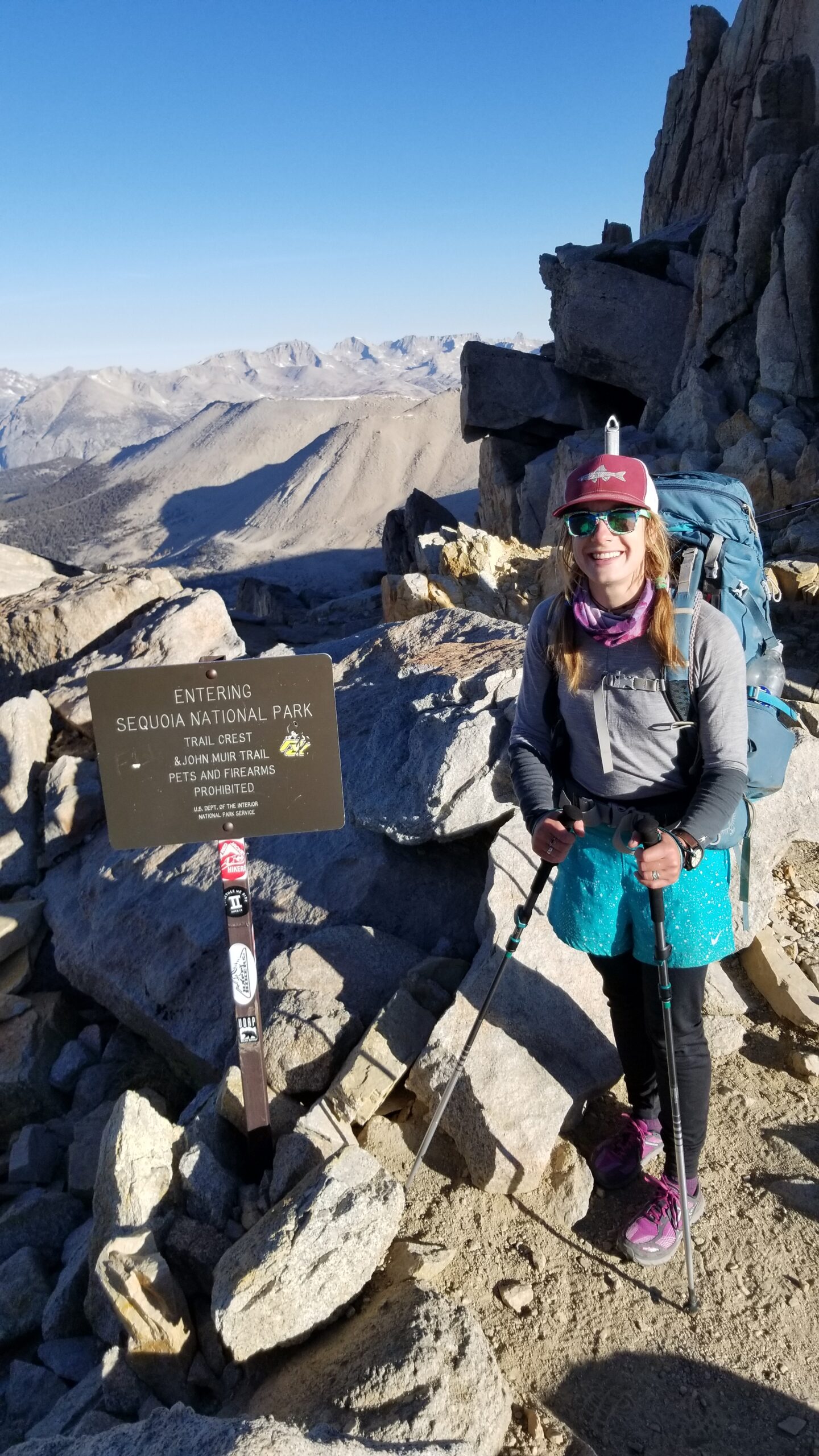
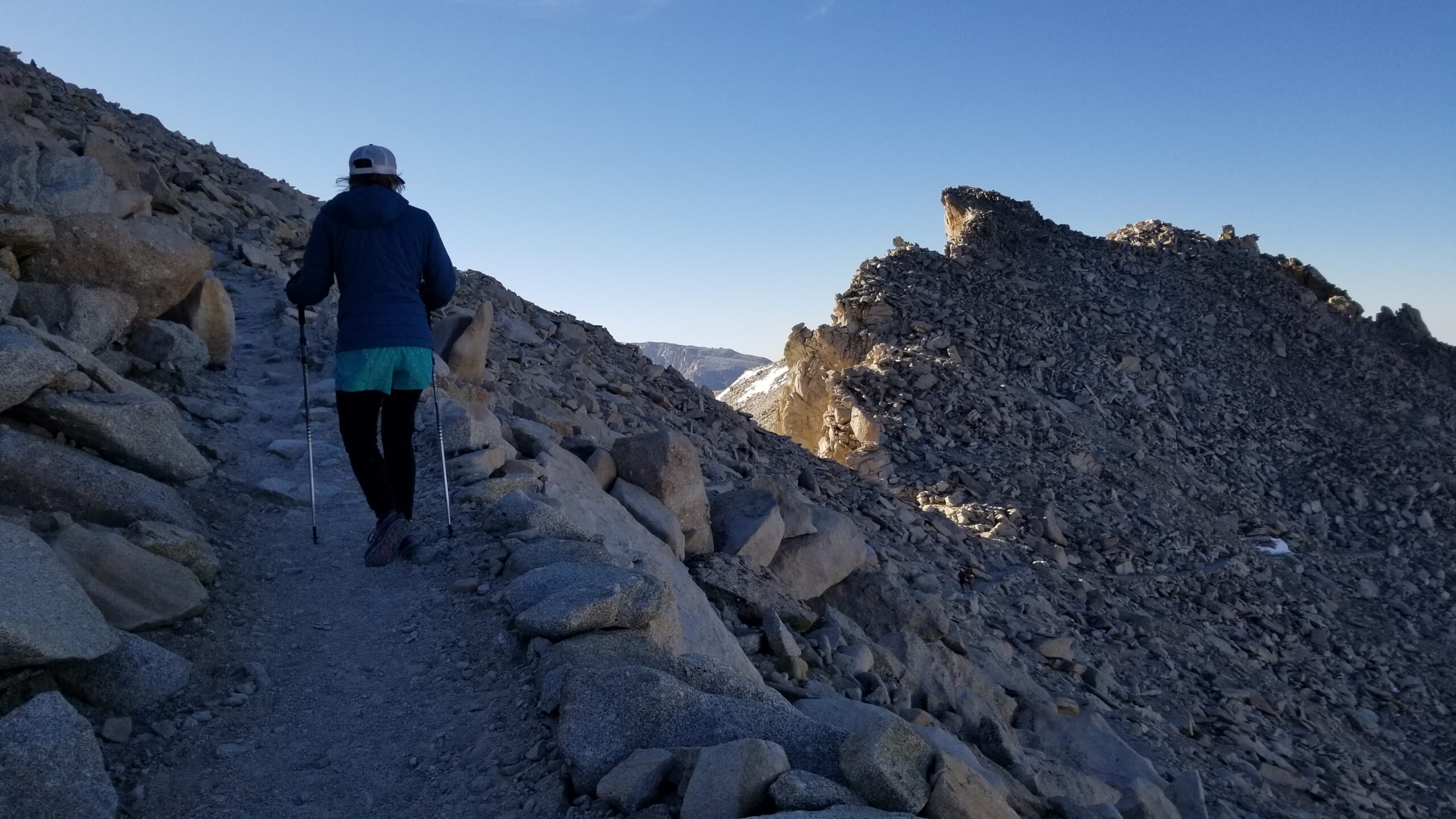
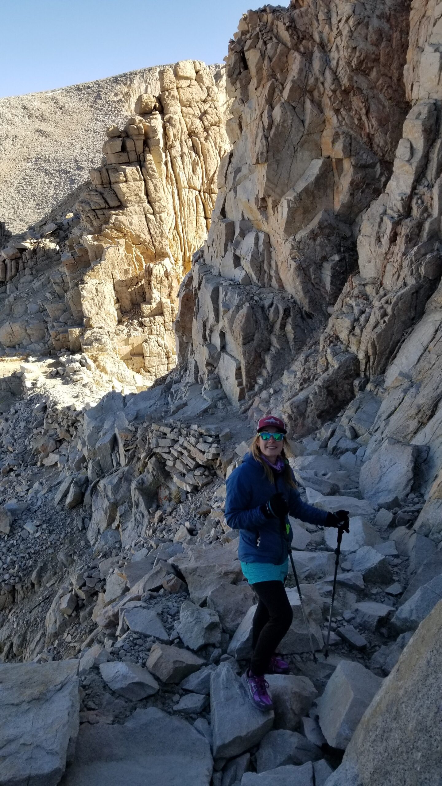
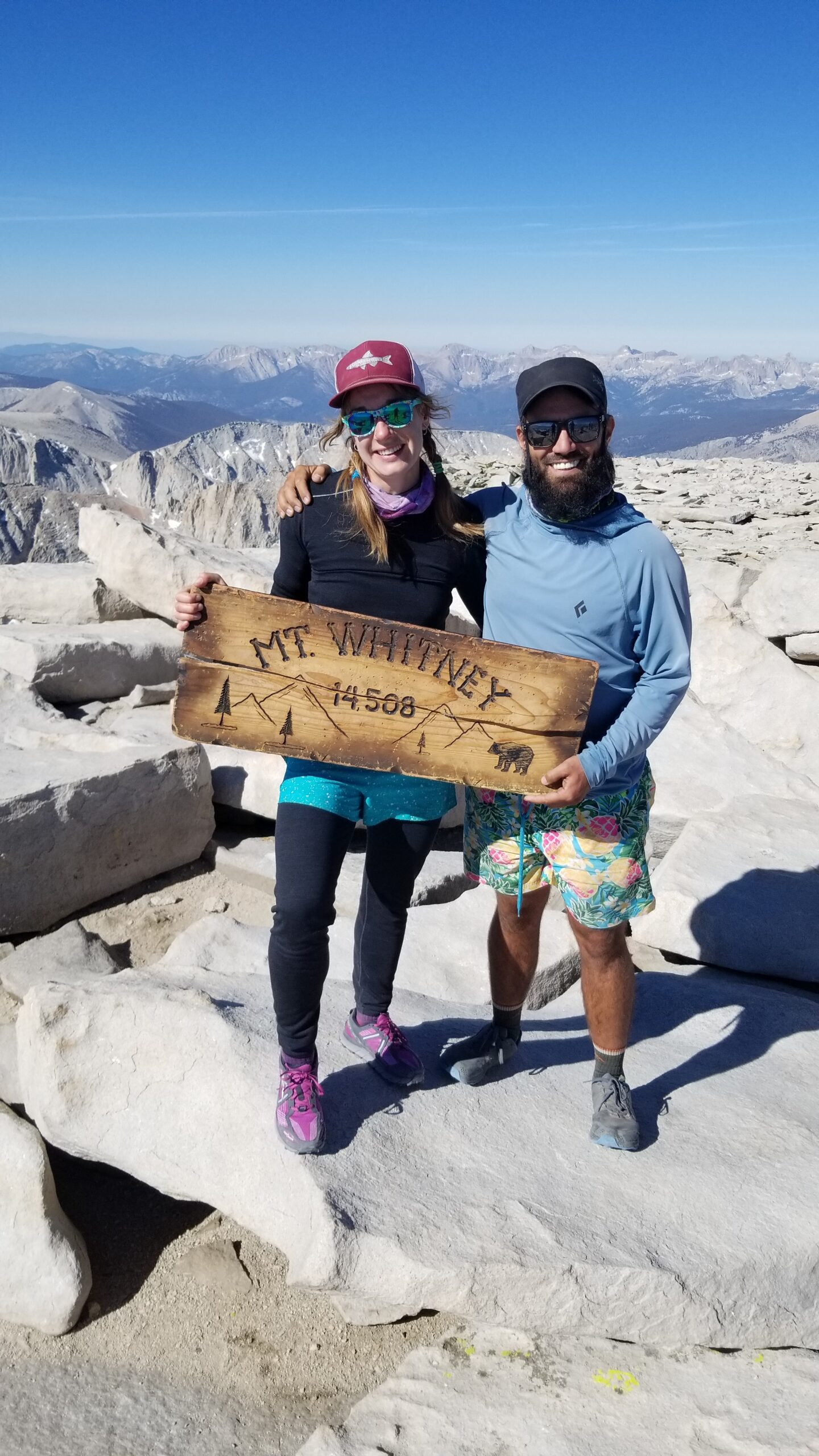
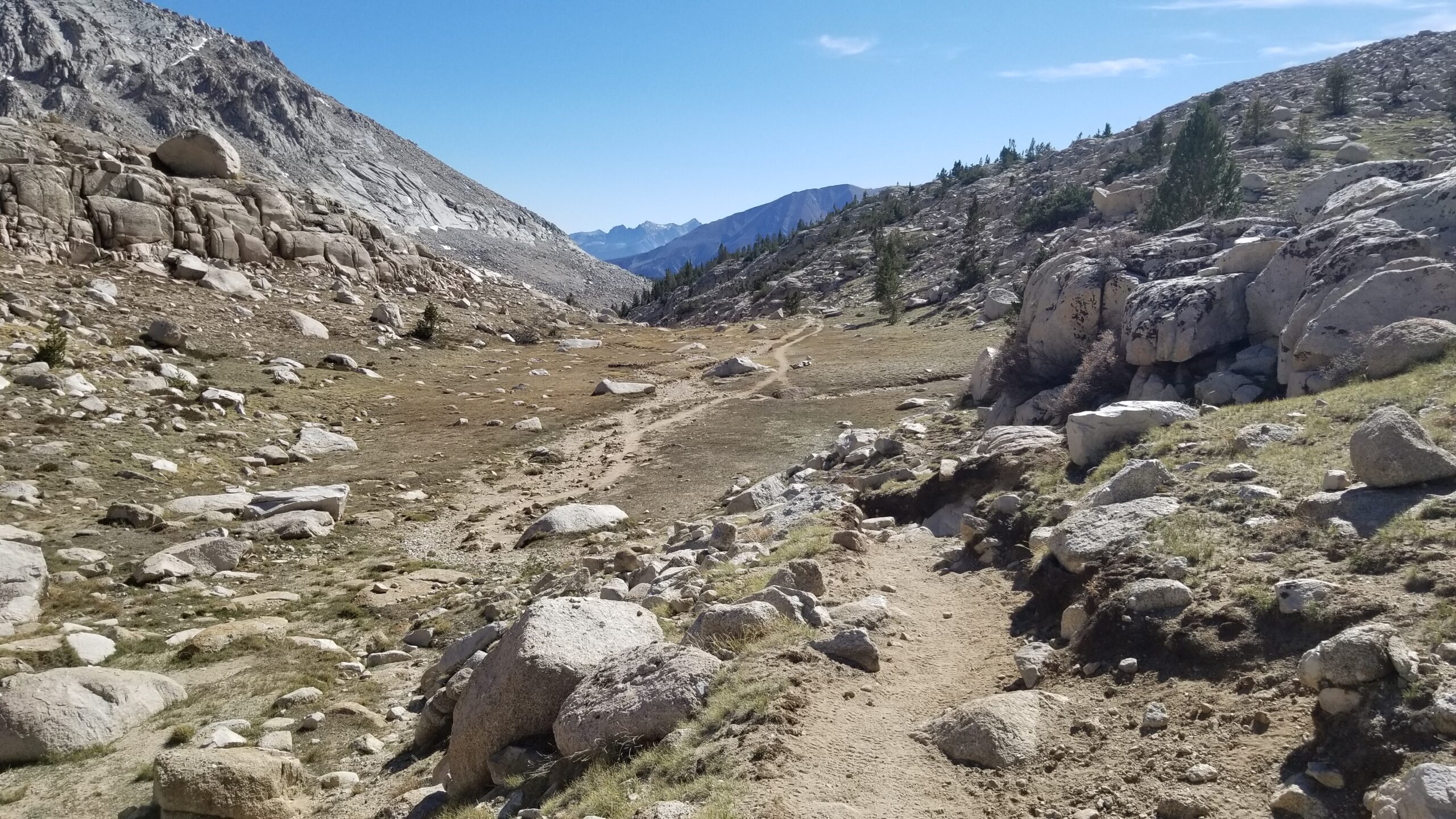
We trekked on, stopping at the trail junction where the JMT heads west and the Whitney summit trail continues north to drop a pack and consolidate snacks and water. The trail itself was pretty easy, just some boulders here and there to navigate, but the pressure from the altitude felt immense, always trying to hold back your next step, making every inch an effort. It became a game of “not too much”. Not too much speed, not too much water, not too much heavy breathing, not too much food. Felt like making the wrong move would leave you trailside gasping for air. We pressed on, past the Needles, peering down the gaps between to look down on Owens Valley far below. One step at a time, and finally after what seemed like a long 1.9 miles from the junction, we saw the house at the summit.
Relieved we had made it, we plopped down, pulled out our sleeping bags for quick warmth, water to rehydrate from the arid alpine, and snacks to fuel our journey down and north, further along the JMT. We had a quick nap, and finally decided our high altitude life had to be put on pause for the next adventure, and we headed down.
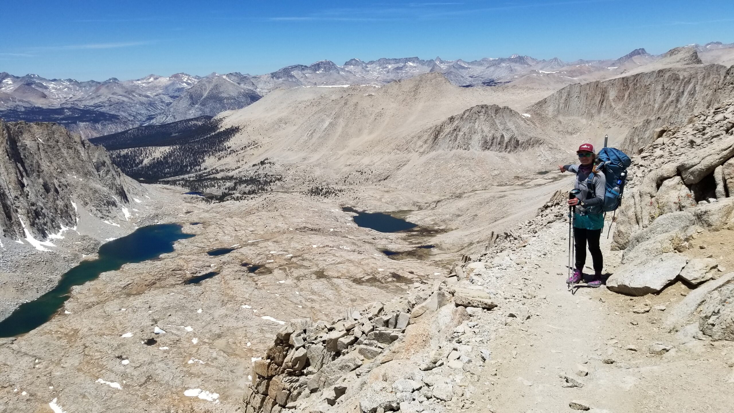
The air was still chilly but the sun warmed you, so we plodded down, back to our packs in hoodies taking in the scenery and admiring the vast granite frozen sea. Little lakelets could be seen from the ridge, and eventually pines down in the lower valleys. We reached our packs, shouldered our belongings and headed north down towards the valley floor.
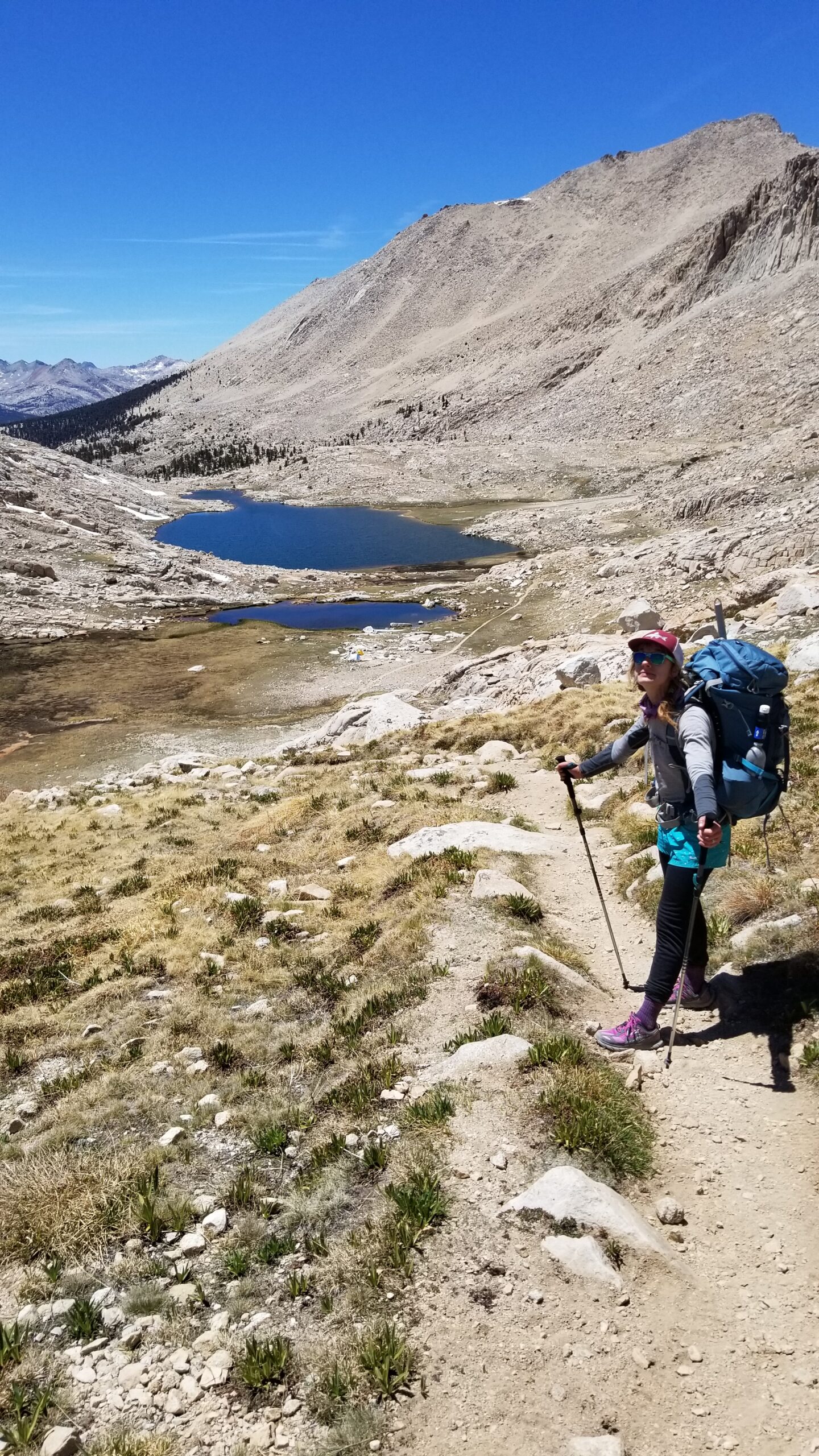
An oversight we made was not filtering enough water before our Whitney ascent, so now, as we headed down, we began rationing our last liter of water. I had remembered there were creeks below, but every creek bed we came to was dry . . . we plodded on with parched tongues. Soon Guitar Lake came into view and we counted the seconds before we reached its only running stream. We were delighted to see flow, and quickly broke out our bottles for a fill. After the long dry last 3 miles, not to mention the rationing during the miles before, this was a godsend and our stomachs rejoiced.
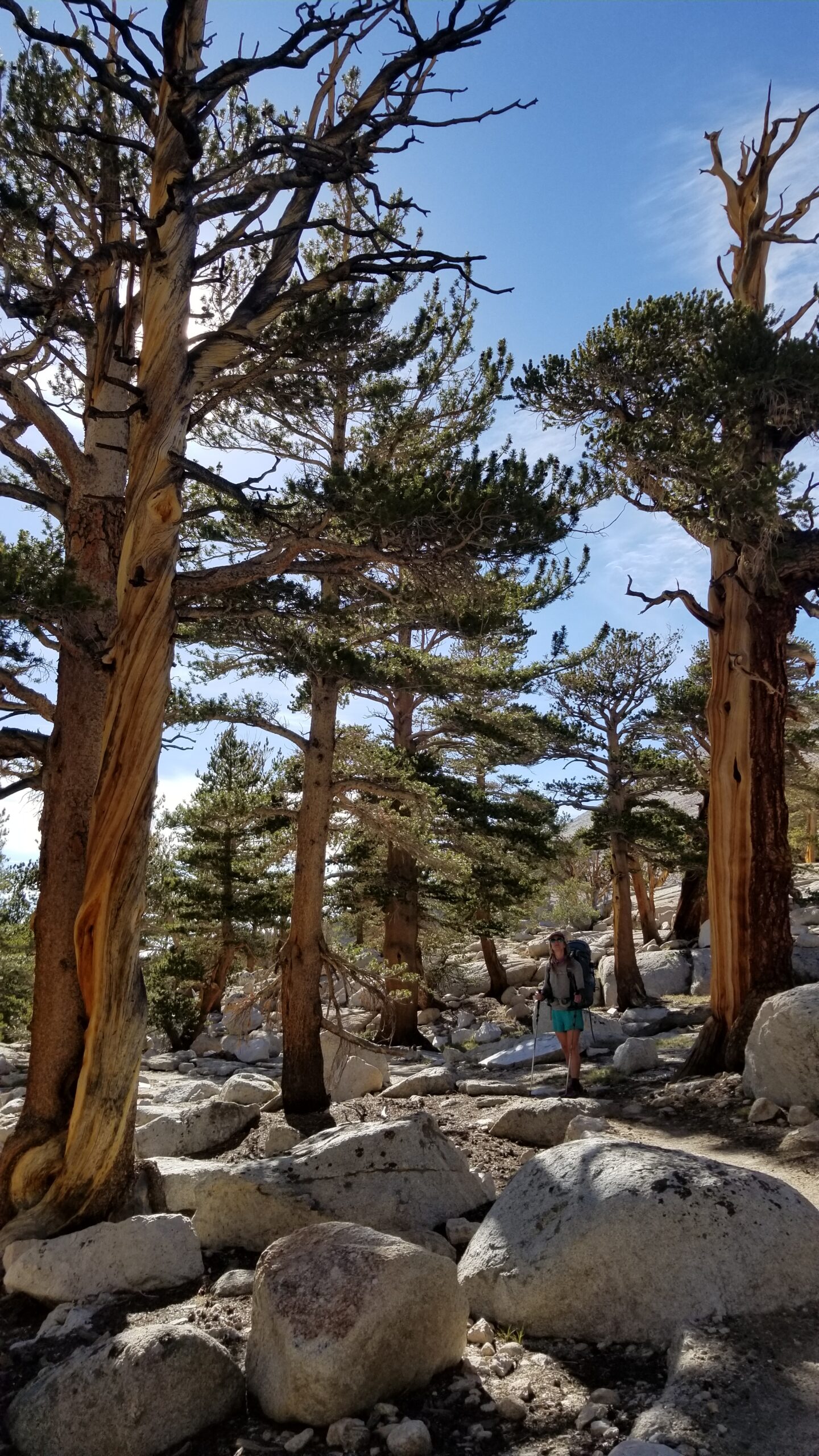
We meandered over to Guitar Lake, found a nice spot for lunch and had yet another nap, should I be feeling guilty by now? Nah, we had a midnight start after all! We packed up once again and wandered on down the trail until we found a nice group of foxtail pines, singing birds, and a view of the meadow below. Soon with a tent pitched, dinner made, and stretches done, we crawled into our tent for some much needed rest after a very long day.
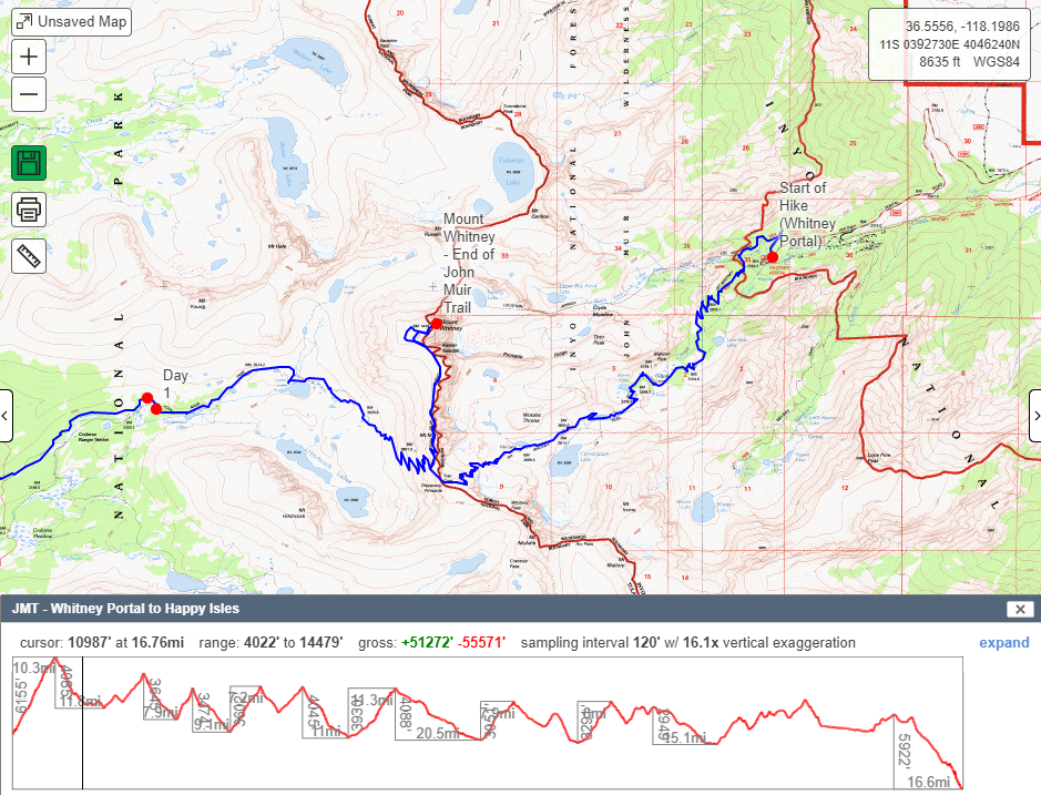
- Hike Stats – Total Miles: 16.5
- JMT Miles: 16.5 (0-16.5)