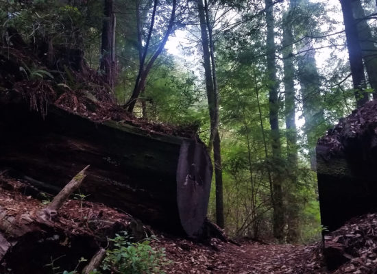

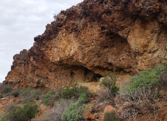
The Phoenix air was cool and brisk as I walked out the front door to meet Sam, Matt, and Mark to start the days trek. We threw our gear and ourselves into Sam’s 4Runner, ready to head towards the Supes in search for another adventure. It had been raining the last few weekends, which cut the option of rock climbing out, so instead we decided to do a nice hike/scramble to make up for it. The target for the day was Battleship Mountain in the Superstition Mountains. This route had been on my ‘to do’ list for quite some time, due to its “scramble” and position as a prominent feature of the Superstitions wilderness.
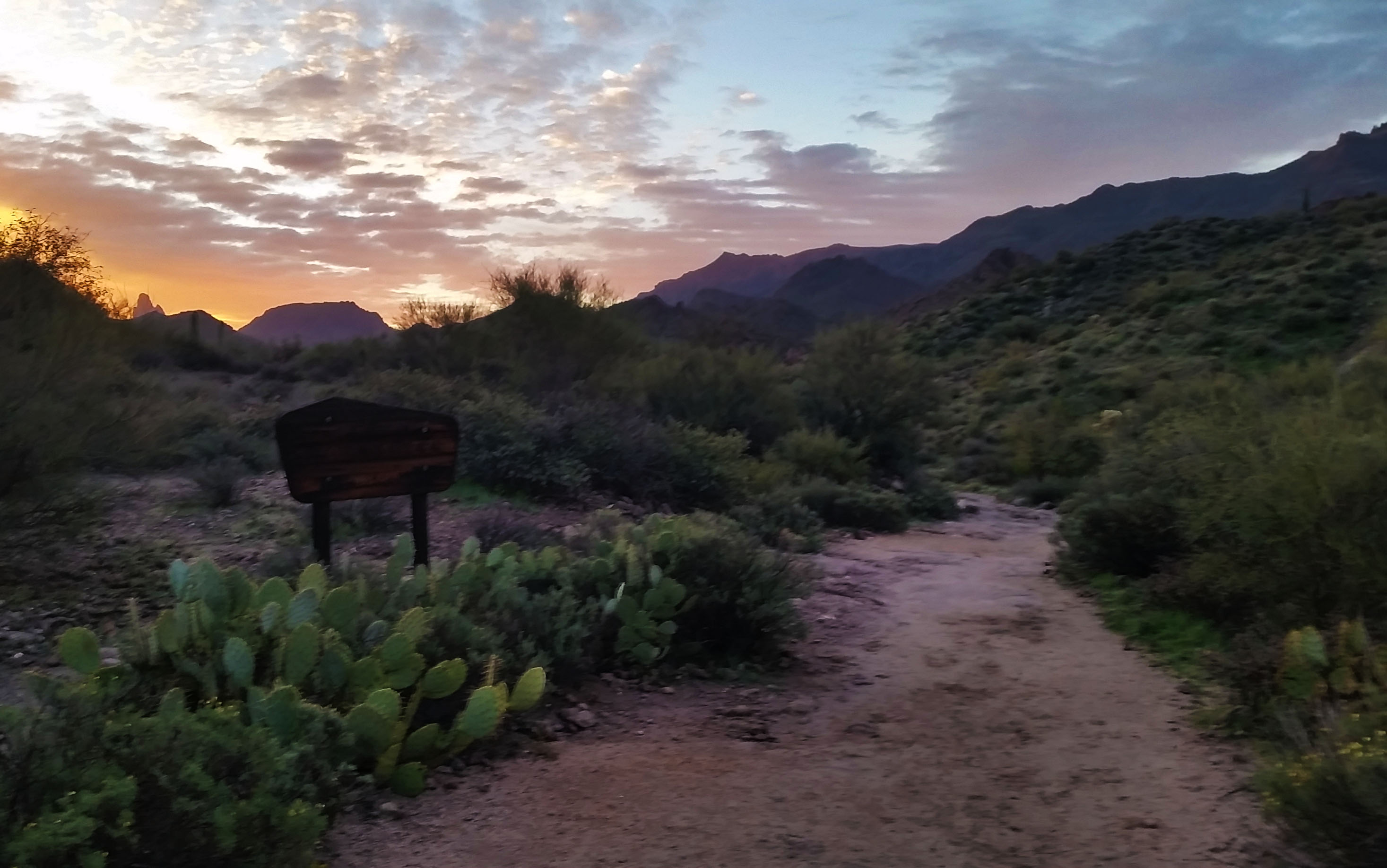
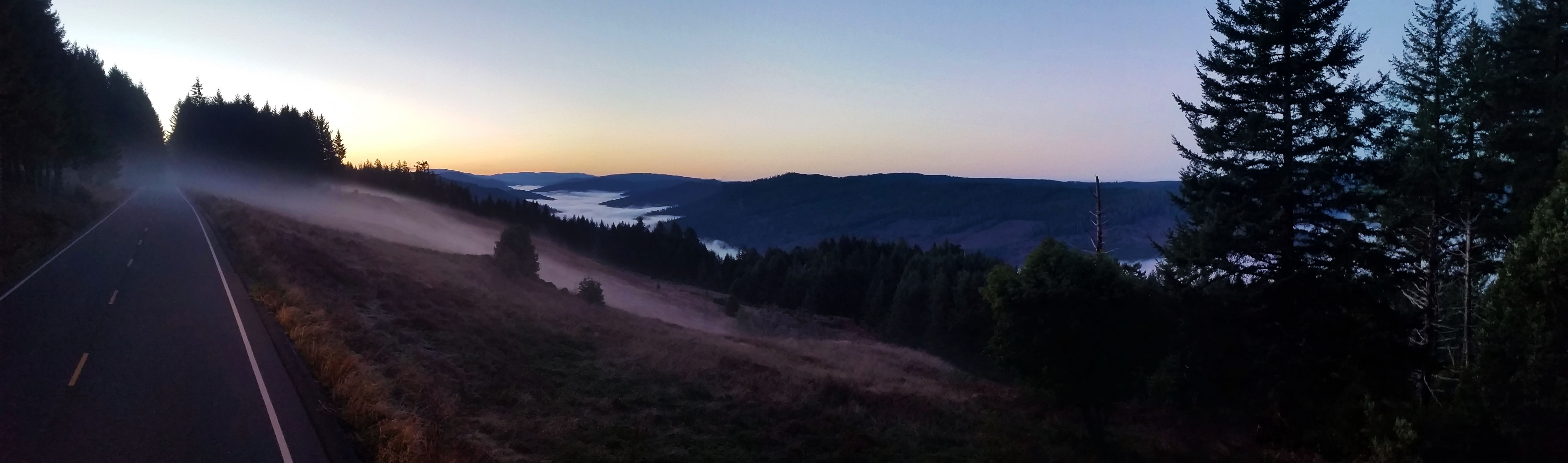
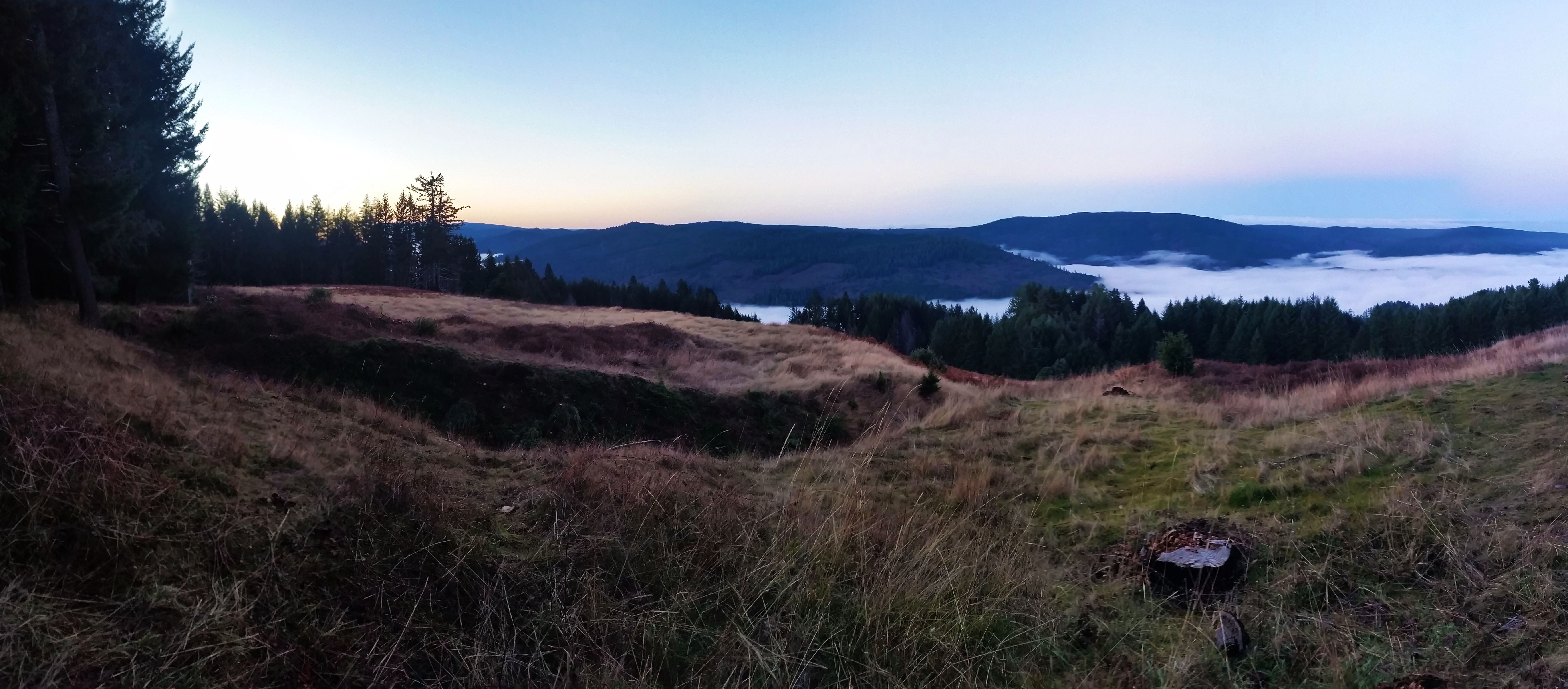
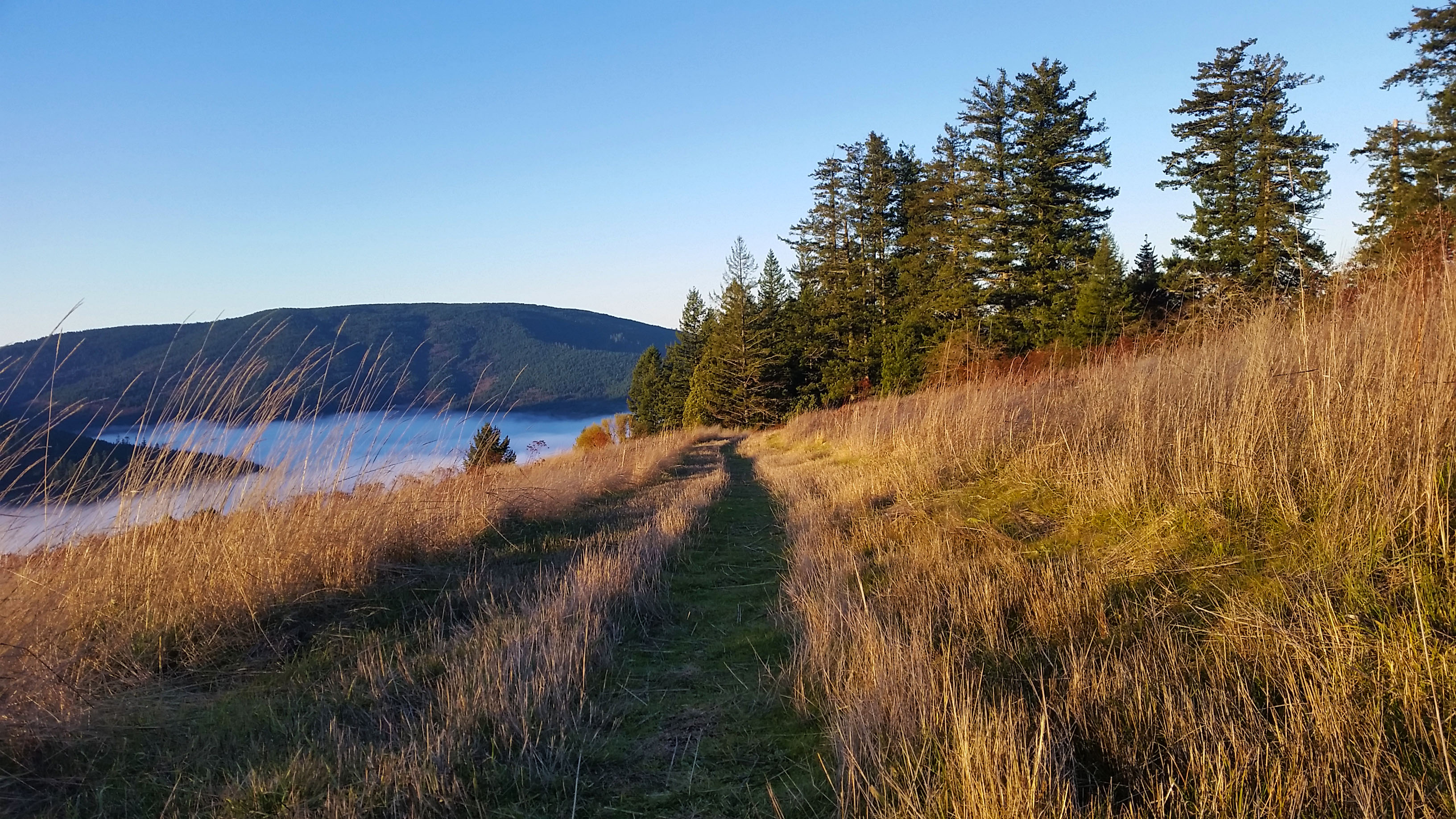
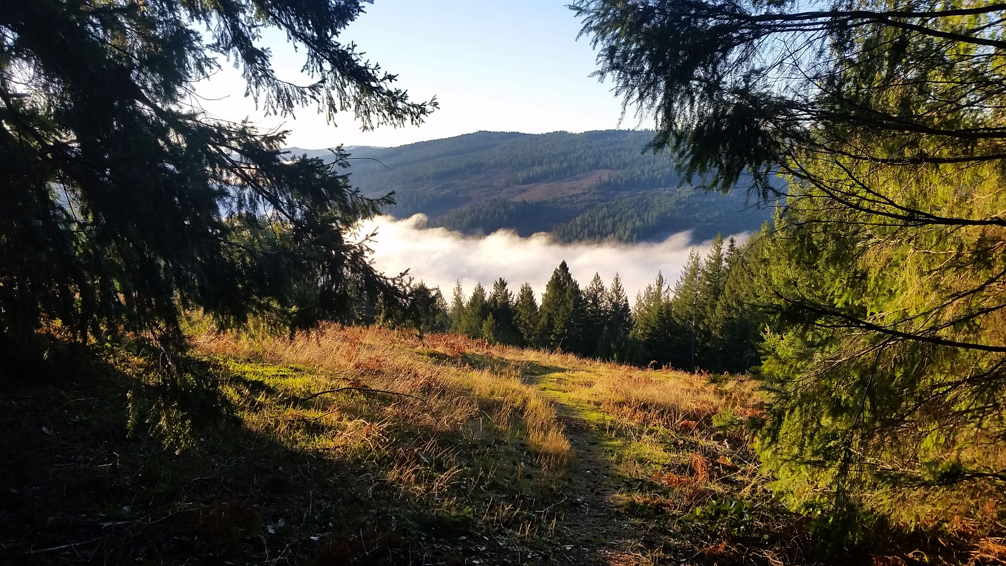
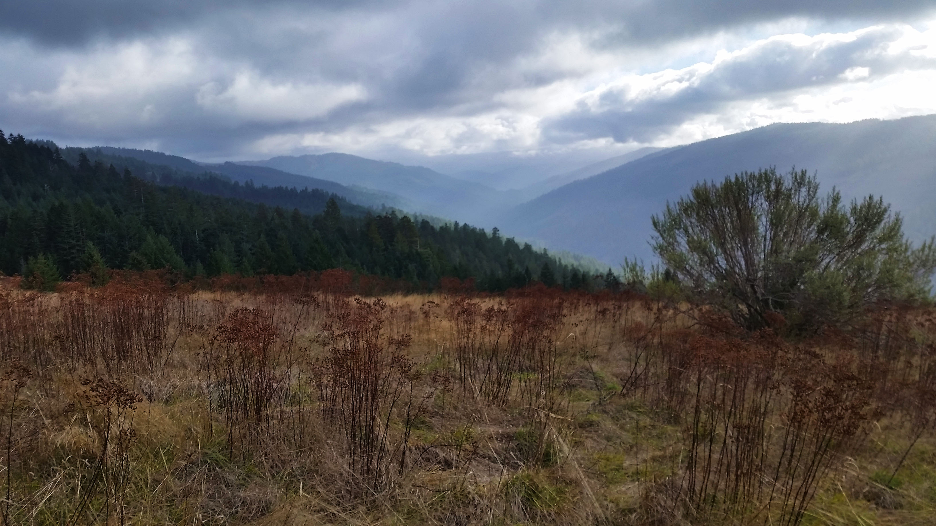
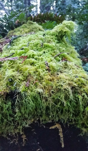
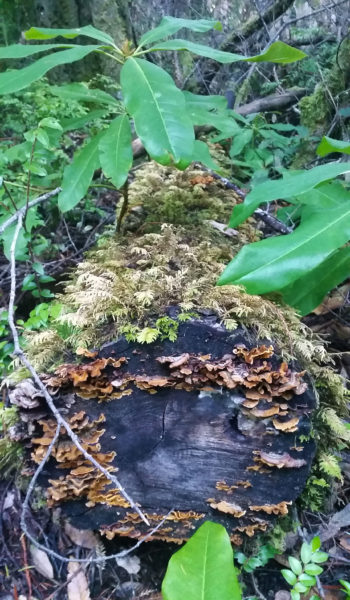
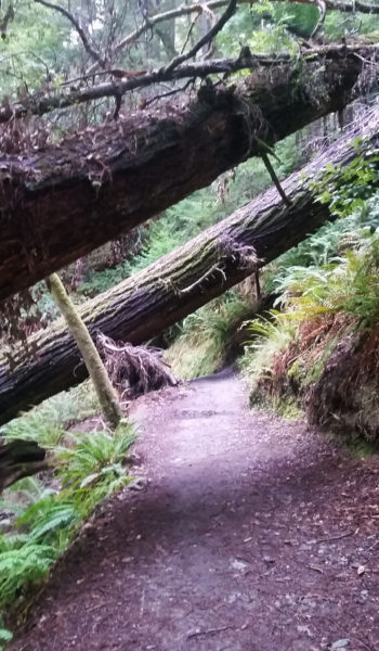
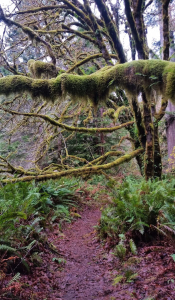
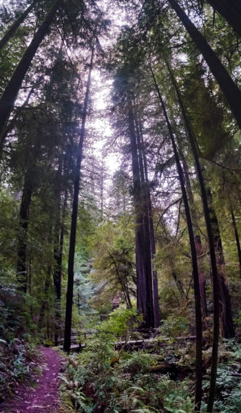
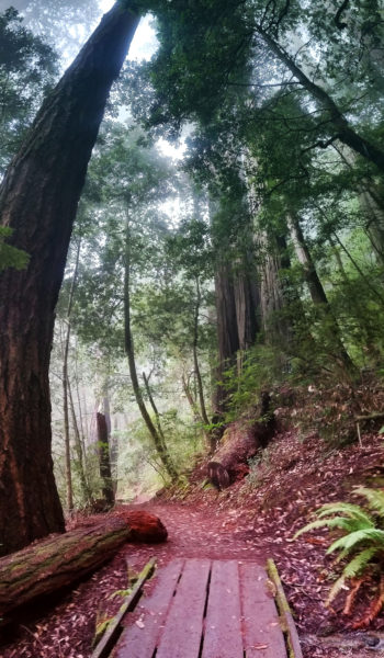
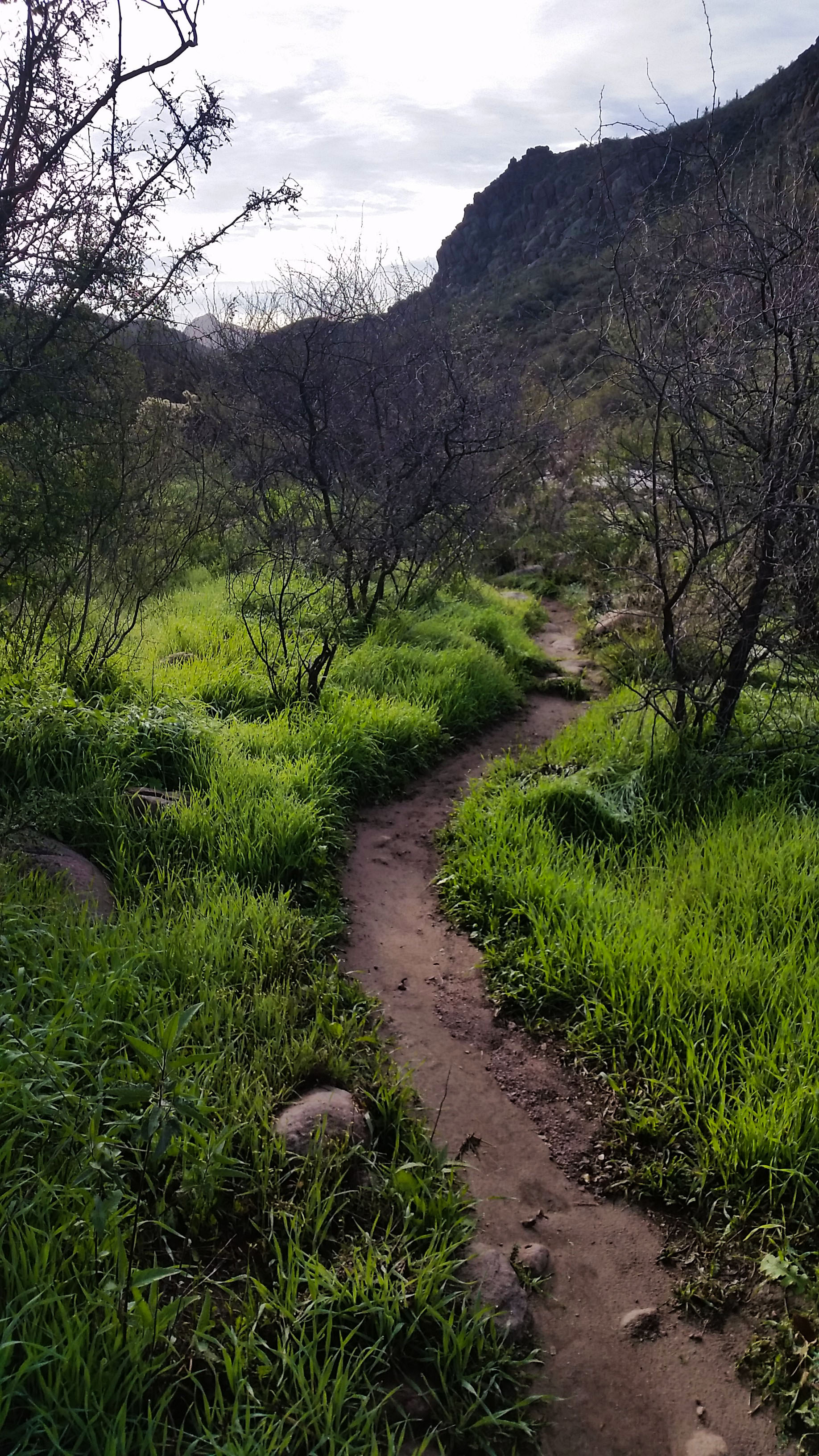
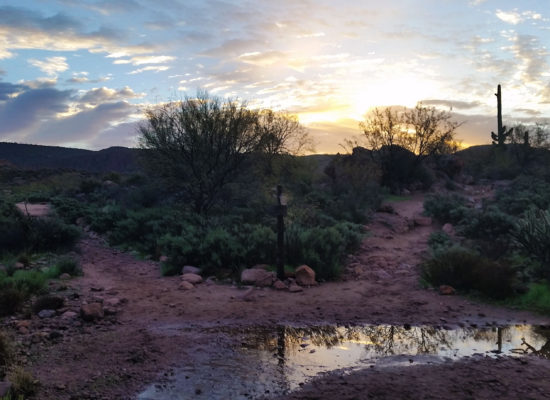
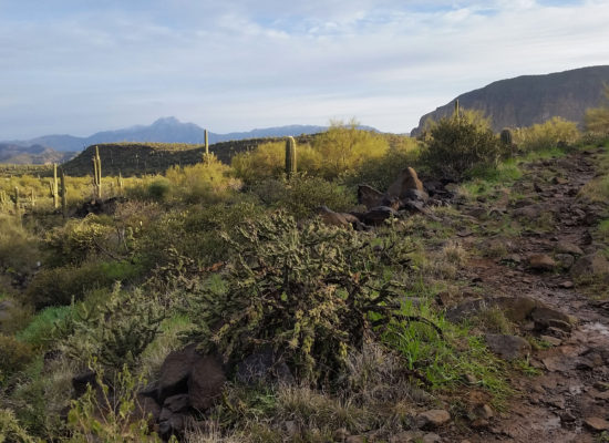
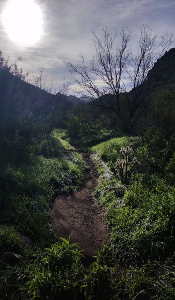
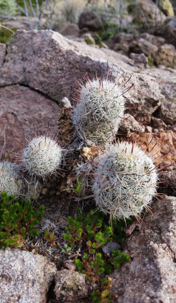
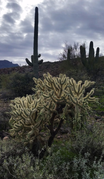
We headed to the trail-head, coffee in hands, chatting about the previous treks and what brought us all to Phoenix. The drive flew by and before we knew it, the car doors swung open, hoodies were zipped up, we were ready to put feet to trail. The sun was rising as we set out, but not quite over the mountains to our east yet. The golden haze filled the valley as we trekked forward. With all the rain, the Supes were alive with lush green color. We trekked the relatively easy rolling trail 236 through the Garden Valley. Golden sun, great views of the snow covered Tonto Mountains to the north, and the live breathing desert around us. What more could you want?!
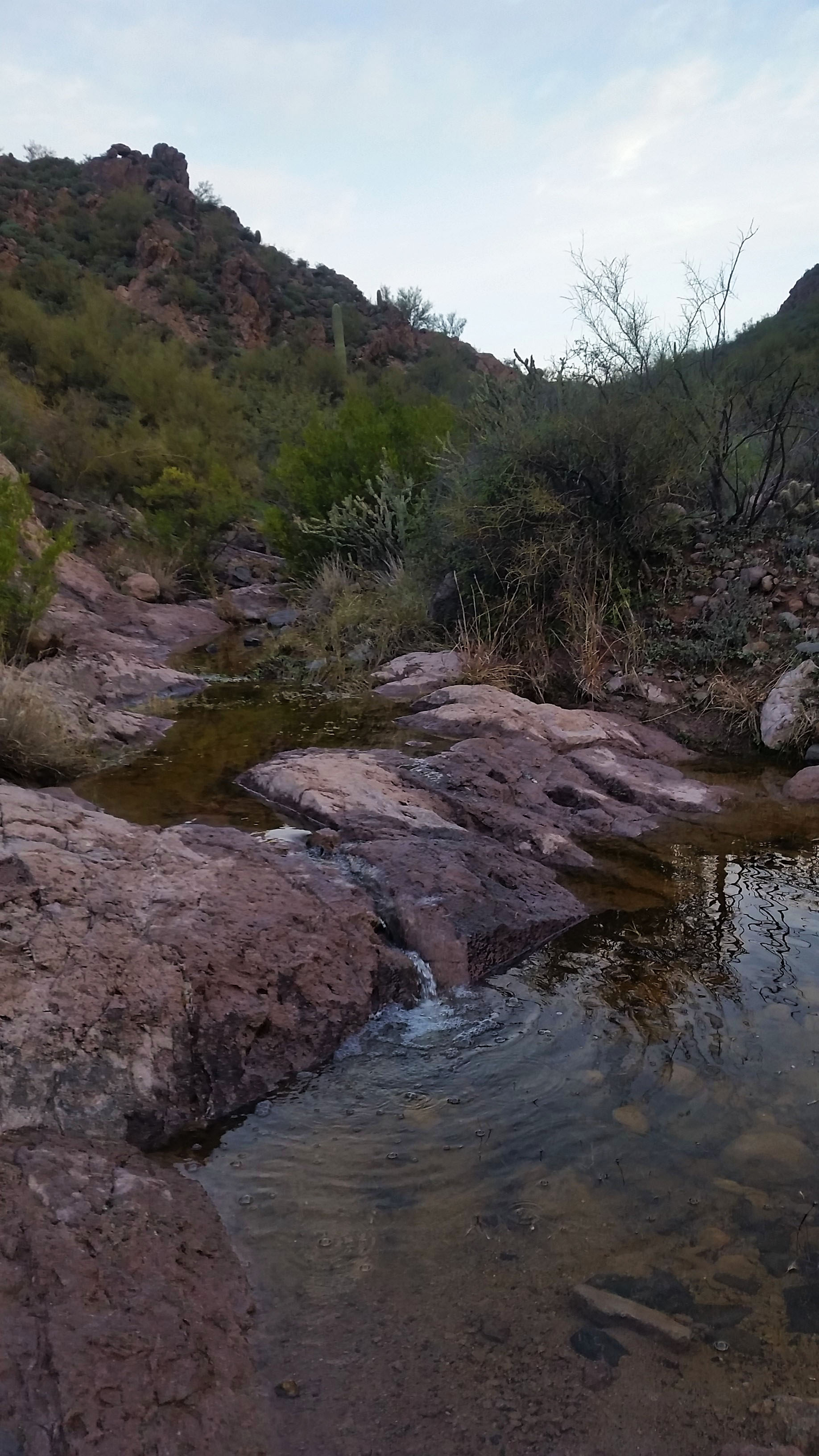
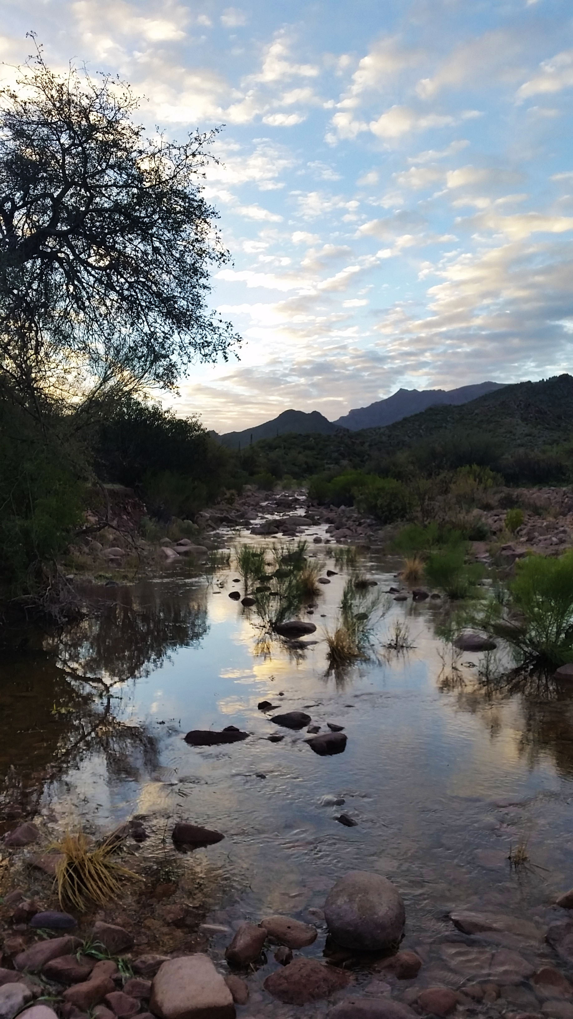
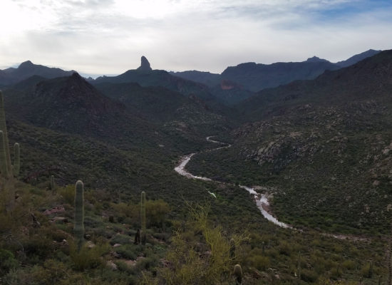
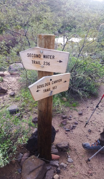
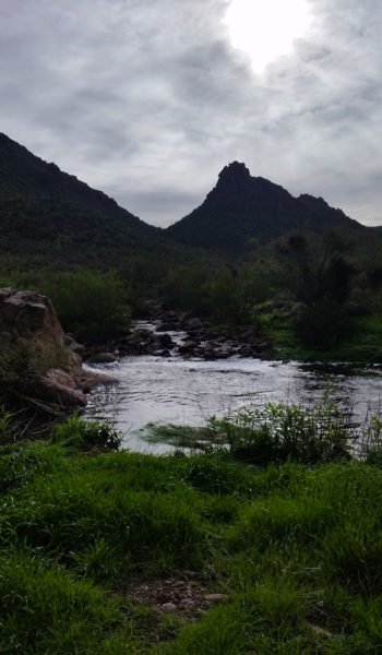
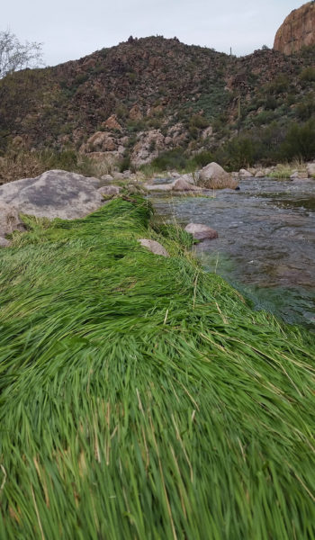
The trail was muddy in places, but as we hiked on the padded trail went from smooth to baby ankle buster boulders. We continued downhill until finally reaching the junction with trail 103 which wasn’t a trail at all, it was a raging creek! Undoubtedly, this was a byproduct of the weeks’ worth of rain. Green grass on the creek edge laid flat as a pancake as a tribute to the powerful flows rolling through just days before. We followed the trail to the southeast. Hopping from boulder to boulder, we attempted to stay dry.
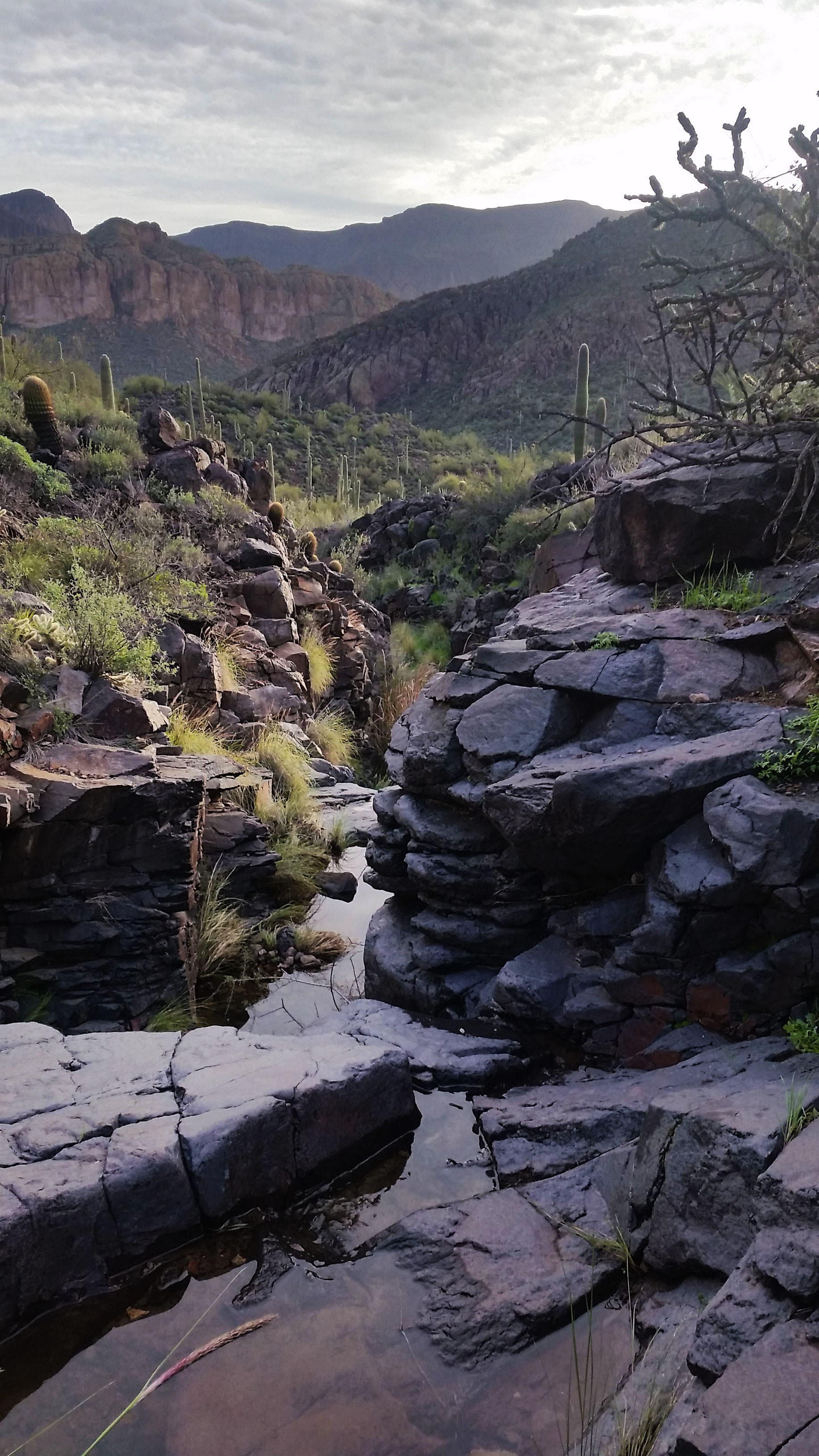
The temps were still cold, so I was like a cat on the edge of a pool, using all my will to stay dry. Mark and I crossed the river early where Sam and Matt decided to stay on the west side for some time. Almost to the other side I heard a large plop behind me. I turn to find Mark with his leg in a cascading waterfall up to his knee. A large rock had shifted (and not in his favor) plunging him into the creek. “Whelp there went that!” He trudged the rest of the creek without a care of being wet anymore. We made it to the other side and continued to find our way up the bank. Sam and Matt did the same, hopping from rock to rock until we all finally met back up further upstream. There was a good half mile of this silliness before we finally reached our turnoff: the end of the spine of Battleship Mountain.
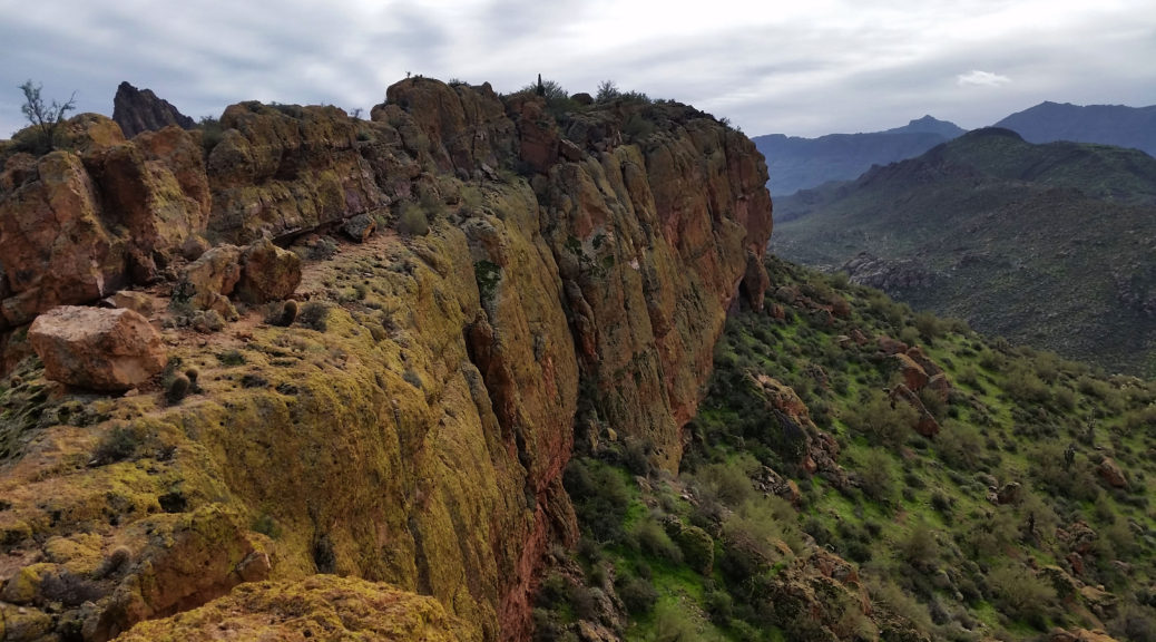
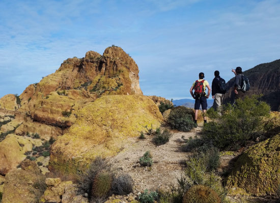
Happy to see a cairn or two headed uphill, and we got after it. We split from the creek and started to gain the ridgeline. I was tired of boulder hopping, and looked forward to the view of the surrounding area so the climb was much welcomed. We got made our way up the rock, and soon with hearts pumping and heavy breaths we gained the spine. We followed the cairns towards the head of the ridge-line and the summit. We would walk the ridge in some places, then get kicked off to the west in a small goat trail that bypassed a cliffed out ridge walk.
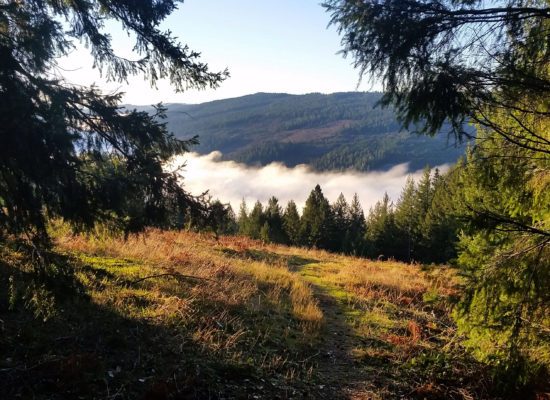
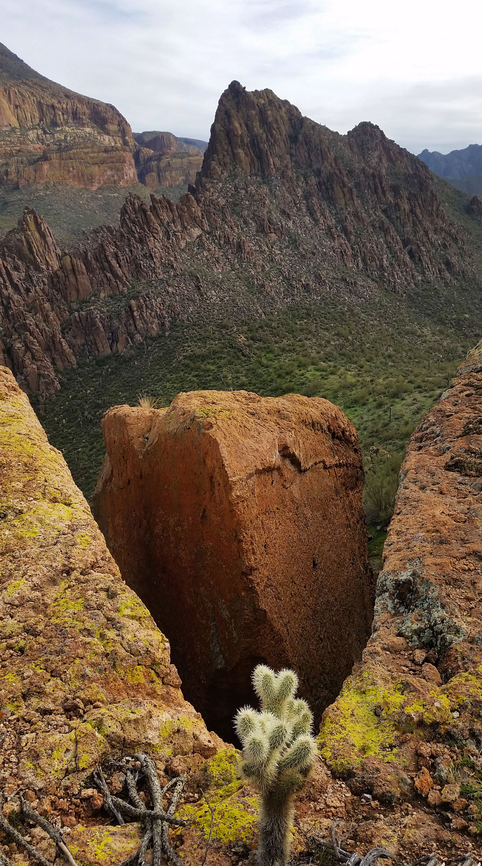
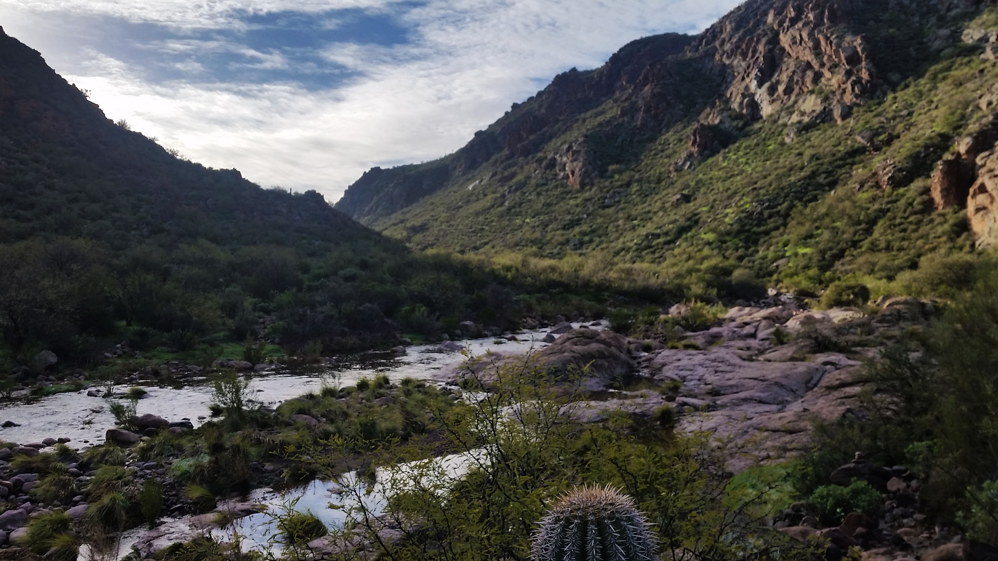
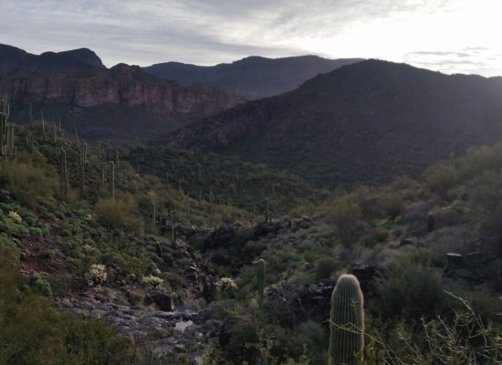
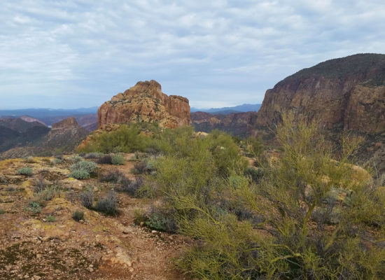
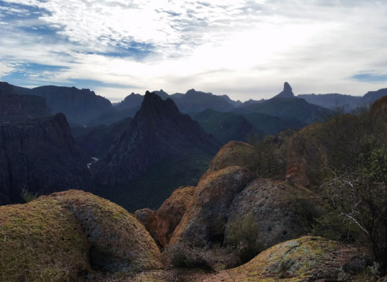
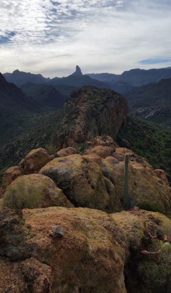
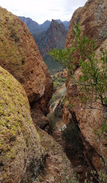
We pressed on to the first of three small climbs. After a short deliberation, we gained the face quickly and kept trekking towards the peak. The views were fantastic! The Supes were so green and alive. From the ridge of Battleship, you could see for miles, including the water that was everywhere. Canyon Lake, Weavers Needle, Flatiron, the Superstitions in all their glory! We paused looking at all the different formations surrounding us. The sights inspired fascination as to how they were formed and changed over time. Everyone was in good spirits and even some of the exposed scrambles didn’t seem to faze anyone in the group. Perhaps we were all too busy chatting and taking in the sights to notice.
After some good trail finding and a few scrambles, we found ourselves standing at the peak, simultaneously touching the highest rock with grins on our faces. We signed the registry, had a snack, and chilled for a while just taking it all in. It was so nice to be out there, amongst the rocks with some good dudes on a beautiful Saturday.
We turned back towards the trail-head and marched back the way we came. This time we had a little less regard for the cold of the creek and a few of us trudged right through. Mark and I couldn’t resist the 40 degree temptation at a neck deep pool on the trek back, so decided to get our Polar Plunge on. It’s definitely one way to wake up! Afterwards, we trekked our soggy selves back to the trail-head. Dried by arrival, we jumped in Sam’s 4Runner and headed back to Phoenix with another good story to tell in our pockets!
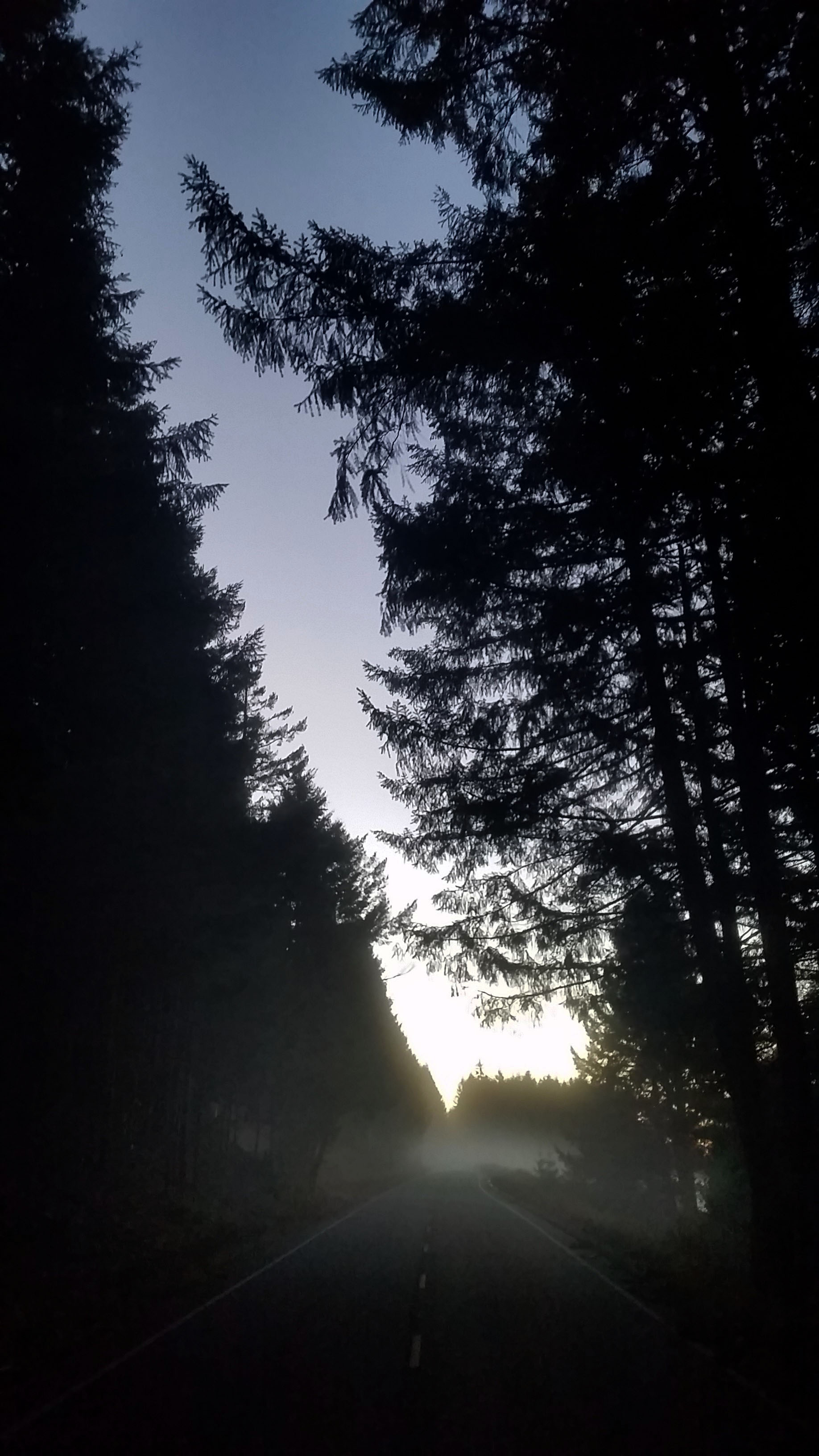
 Lets get moving!
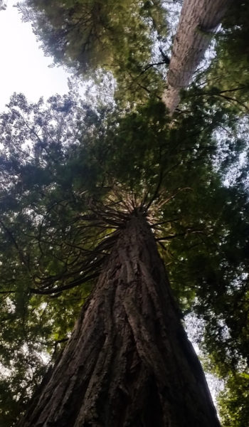
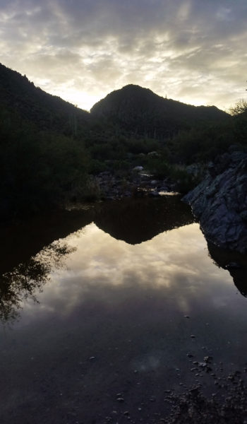 Morning View
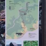
HIKE INFO:
https://hikearizona.com/decoder.php?ZTN=261
HIKE STATS:
- Weather: Hi 70s, Low 50s, Sunny, Overcast, Sprinkled rain
- Water: 2.5 liters
- Food: 2 Protien Bars, 1 Cliff Bar, 1 apple, 1 bag of jerky, bag of salt and vennigar chips, PB&J
- Time: 6 hours
- Distance: 12 miles Round Trip
- Accumulated Gain: 1,200 feet
GEAR:
- Mule Camelback backpack (3 liter bladder)
- SPOT Tracker
CLOTHING:
- Cotton Handkerchief + Flatbill hat
- Smart Wool Long sleeve shirt 195
- Patagonia pants
- Merrell Mid Moab Hiking Boots
- Darn Tough Medium Wool Sox
- Arcteryx Atom hoody