
My eyes popped open. No alarm had sounded, the twilight was starting to open up in the sky. I jumped up frantically searching for my phone; it was dead as a doornail. The 10 degree temps had helped to suck whatever battery I had left and I had overslept almost an hour. I jumped up, threw on my hiking clothes, and stuffed my bag with food for the day. There was no time for coffee or a warm breakfast…I needed to finish my hike and drive back to Phoenix for work the next day. I pulled on my jacket and ski mask and let out on the trail.
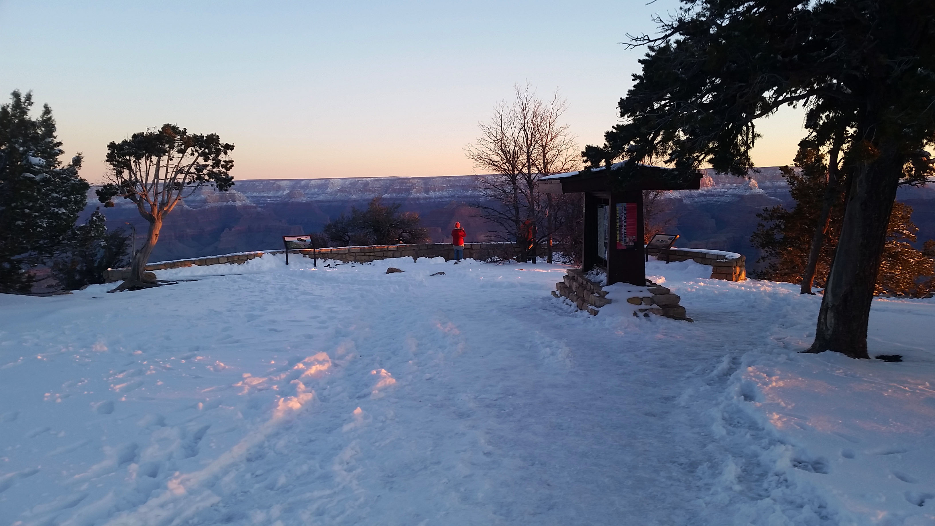
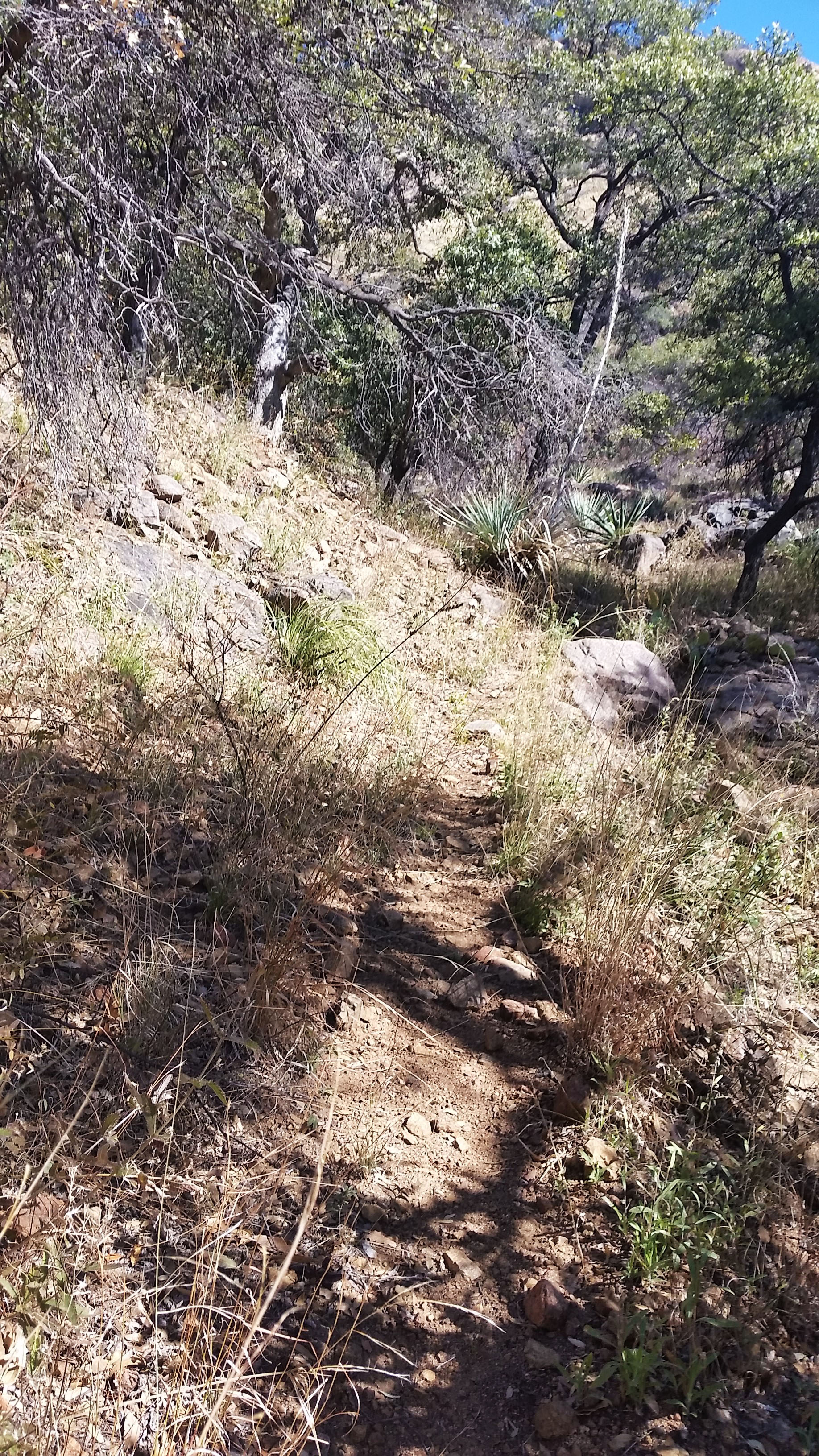
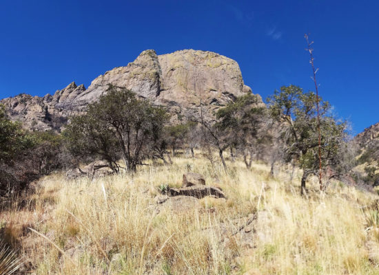
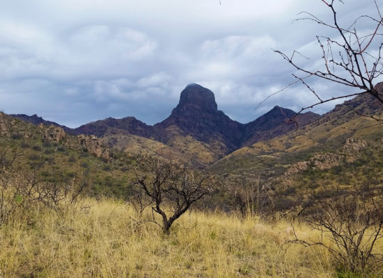
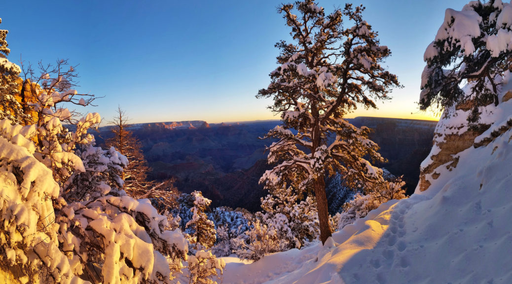
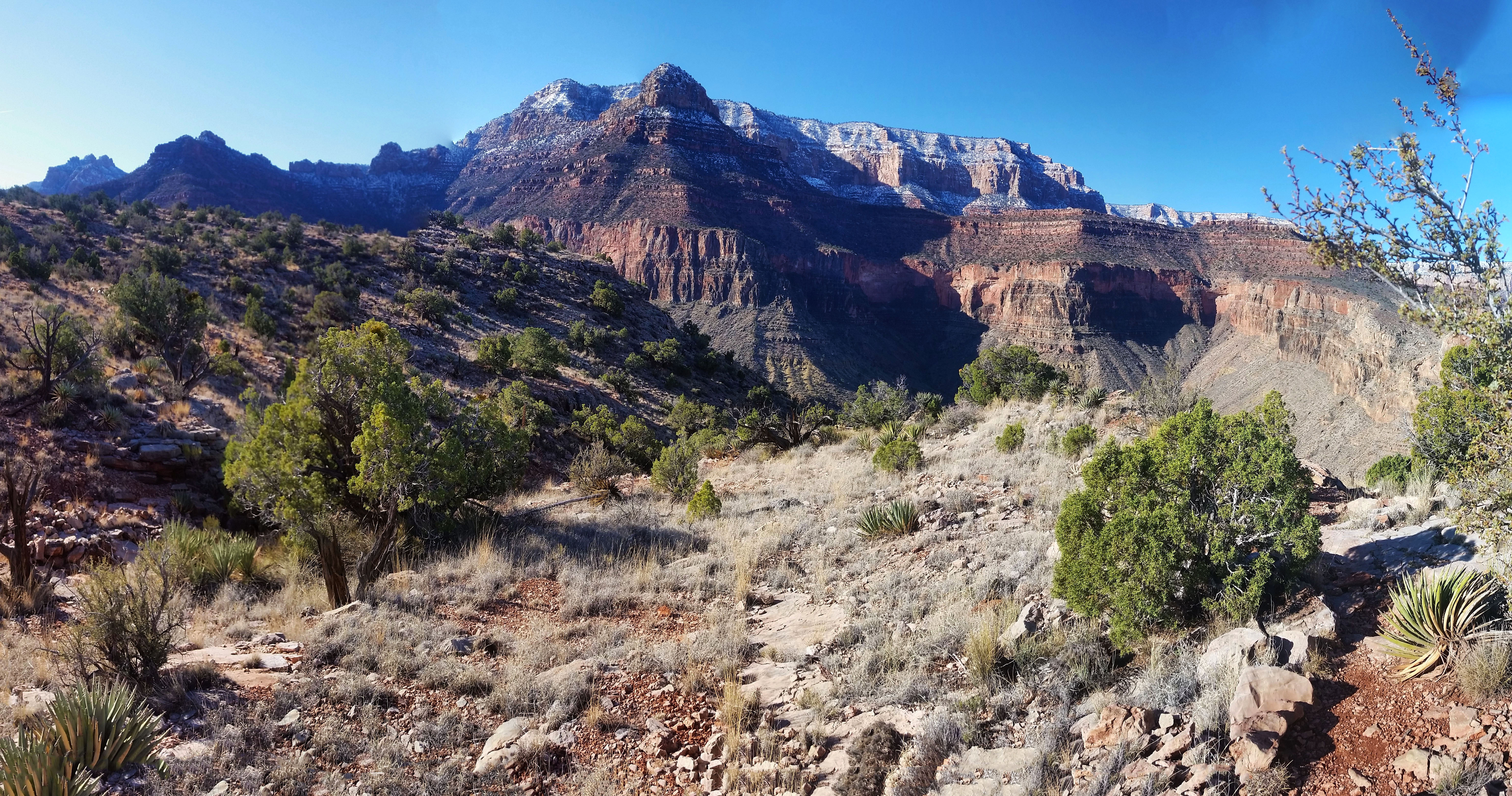
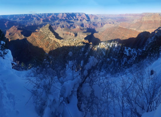
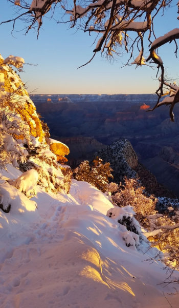
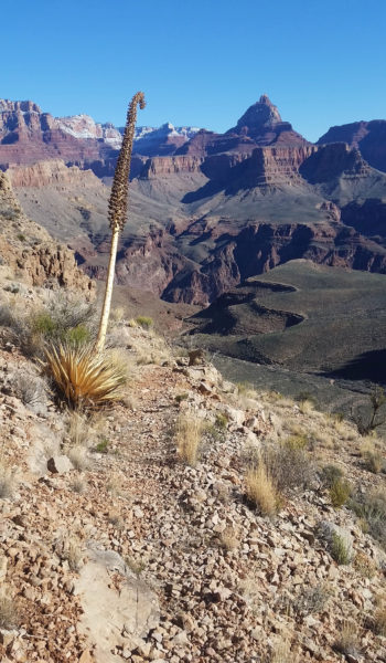
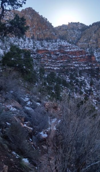
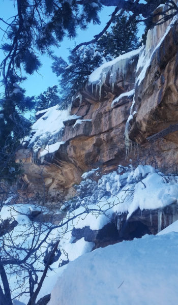
The air was chilly and a few people hung about at the start of the hike, taking pictures of the sunrise. Once I passed them, there was no one else. No birds, no people, no sounds… just me and the canyon and the snow. The snow was a good 12 inches deep at the beginning of the trail. I had my microspikes on, so I trudged through the snow knowing that once I dropped low enough, it would give way to rocks and dirt again. What a peaceful sight, the canyon undisturbed in the fresh fallen snow.
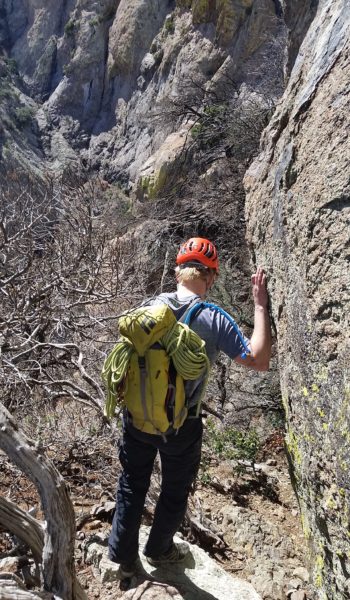
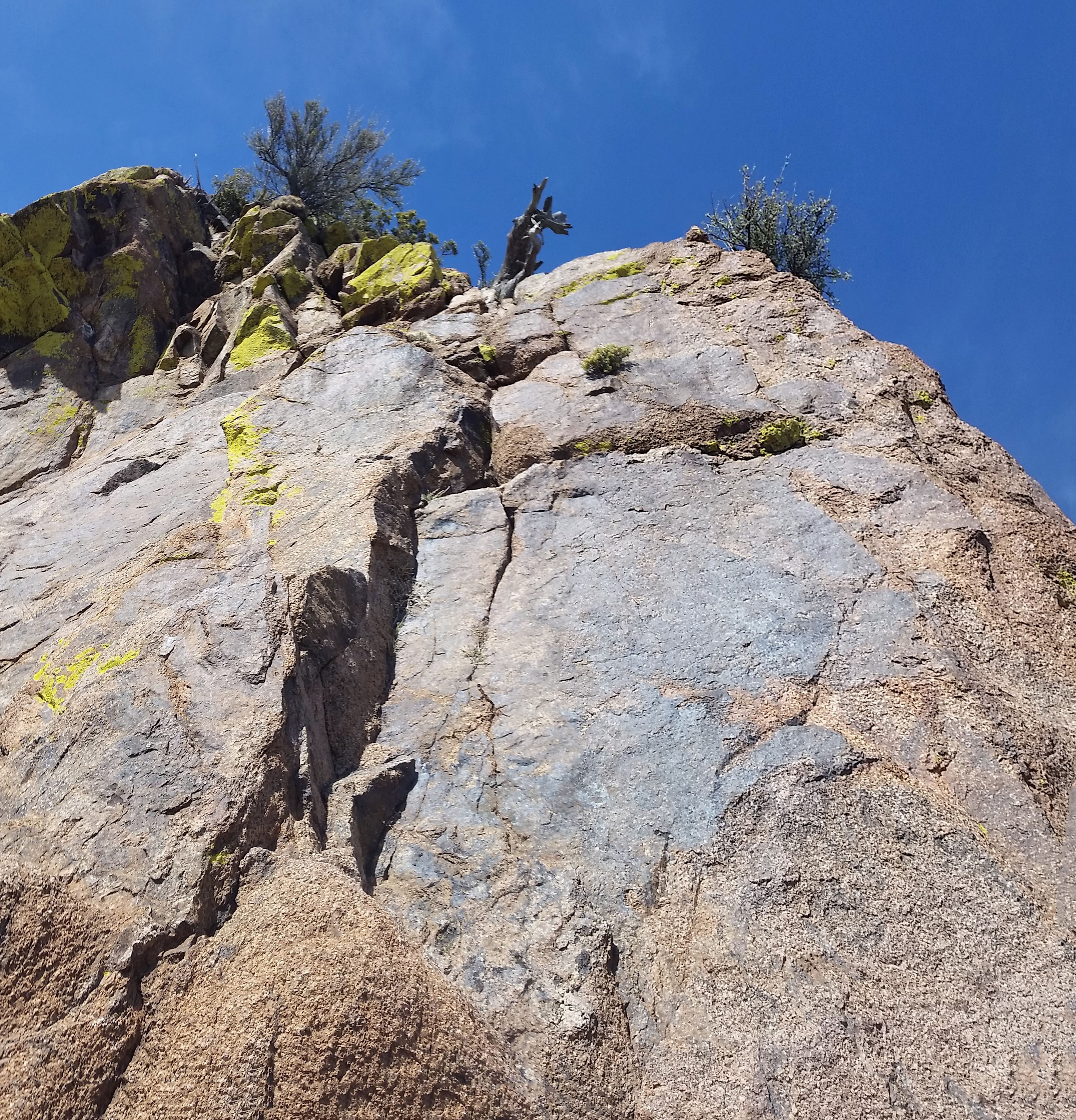
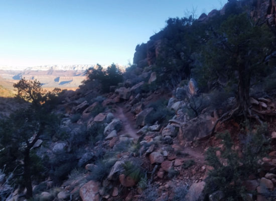
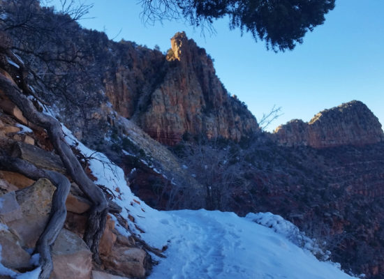
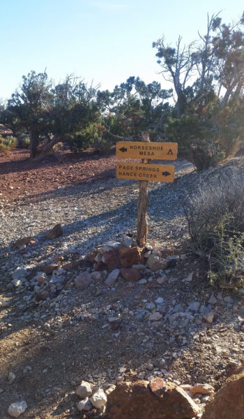
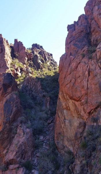
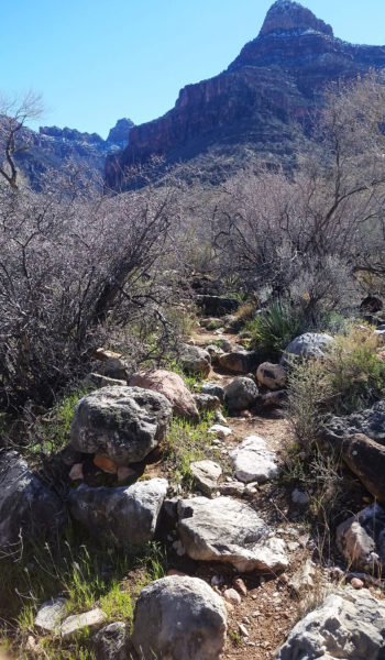
The trail was steep and I quickly descended through the switchbacks on the south rim cliff. I soon skirted the arm that jetted out to meet horseshoe mesa where the most padded part of Grandview trail ended. I broke out of the shade and the sun warmed me, so I pulled off the ski mask and hoody and trekked the bridge to the mesa. As I neared the Horseshoe I noticed a sign to the right that stated that there was radioactive area nearby, the sign read “Do not enter”. Hmmm . . . I highly doubted there was actually radioactive material in there, but I knew the sign served as a deterrent to keep people out of the Last Chance Mine (founded in 1890 by Pete Berry when copper was discovered there) and it was not on my list of things to do so I trekked on.
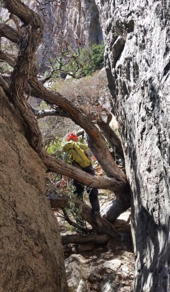
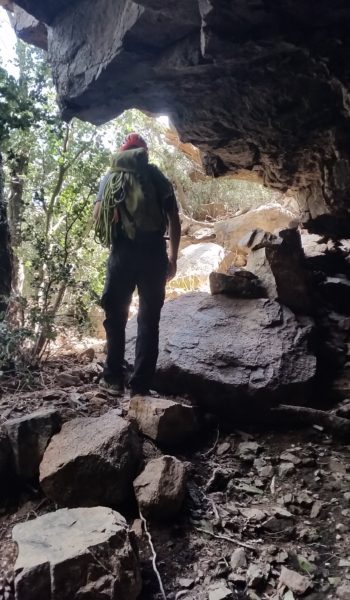
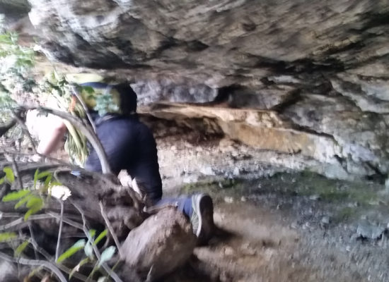
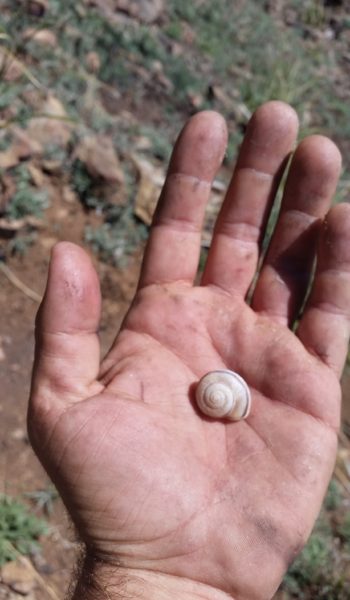
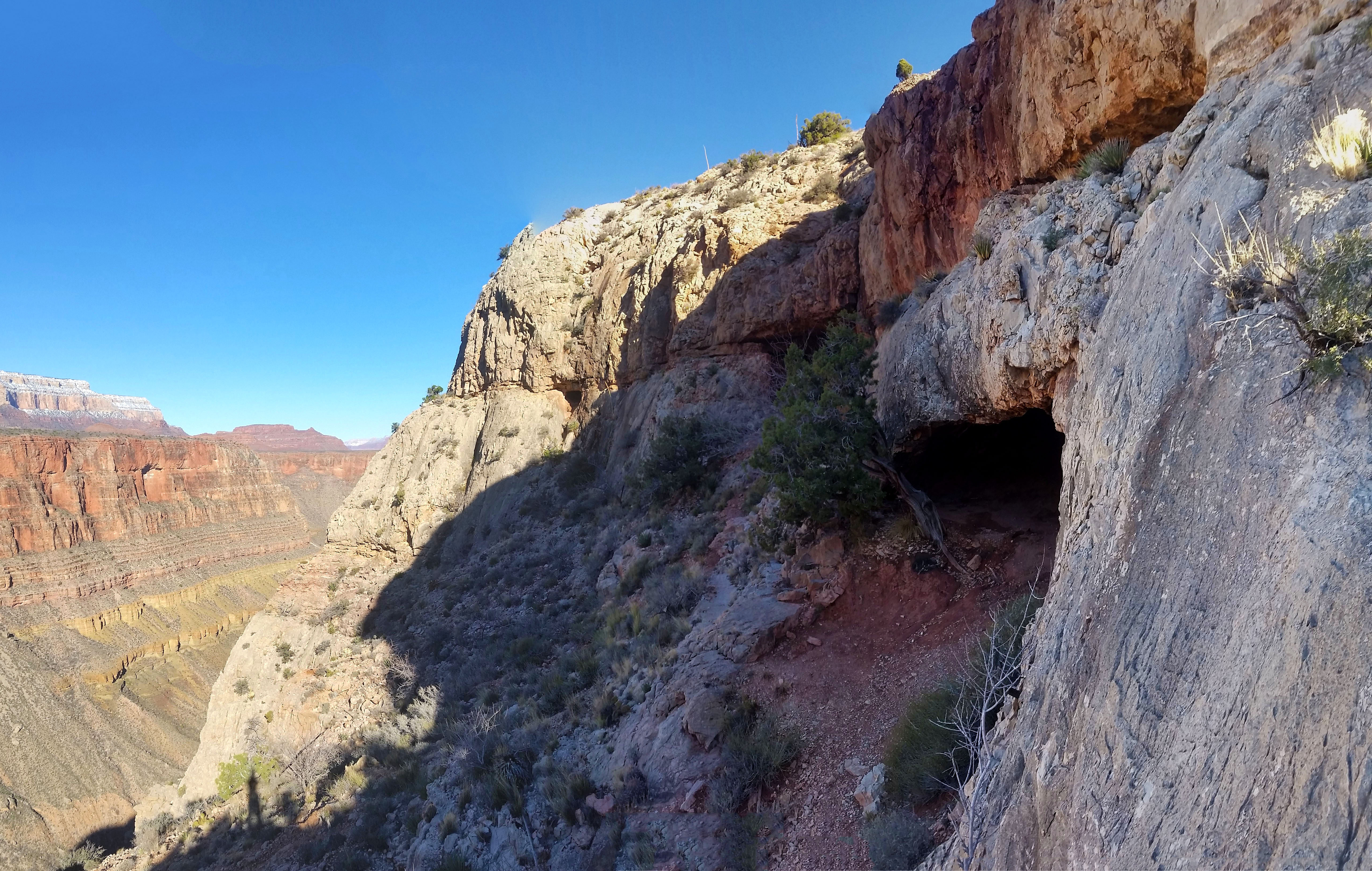
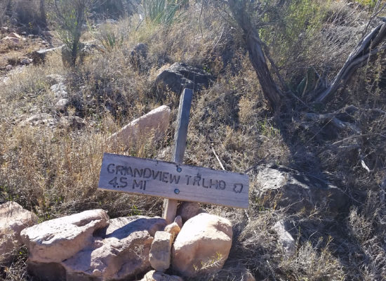
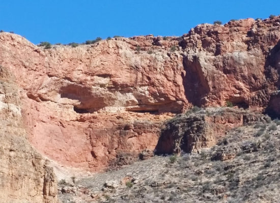
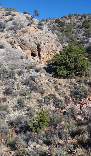
I found the mesa and the remaining foundation of what I could only imagine was a miner’s house. After a short pause and some pictures I kept trekking north. Eventually I came to a seldom used trail that went directly west. I heard that the only cave in the canyon that didn’t require a special permit was located there. I figured “why not, let’s check it out” and took the trail. Soon after the trail had walked all the way to the edge and off the west side of the cliff I found Cave of the Domes.
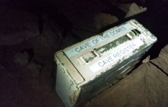 Cove of the Domes Registry
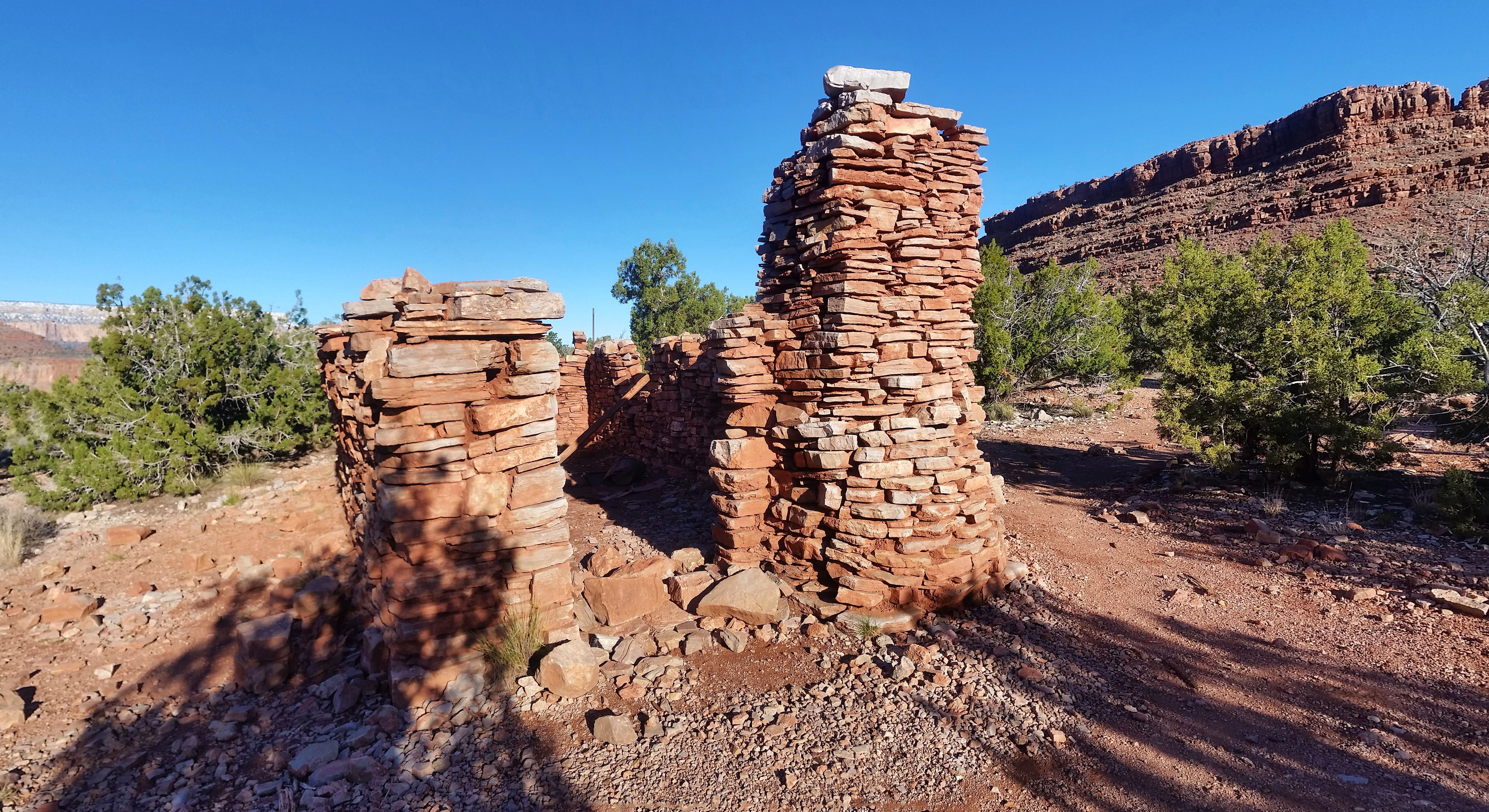
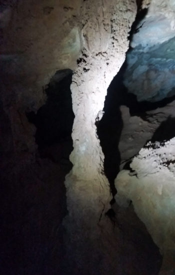
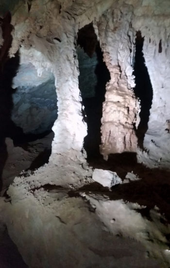 Like Rome, columns out front!
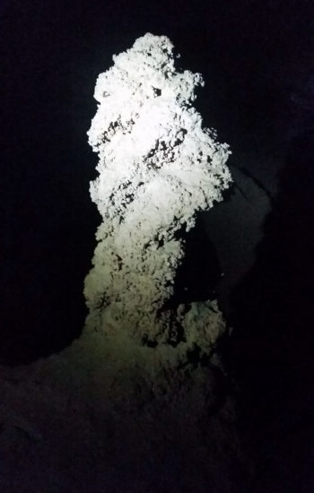
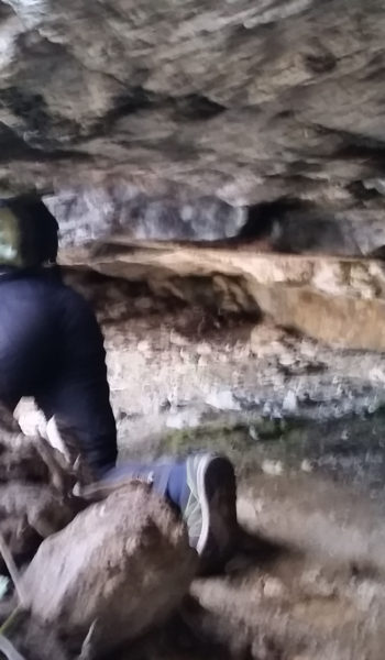
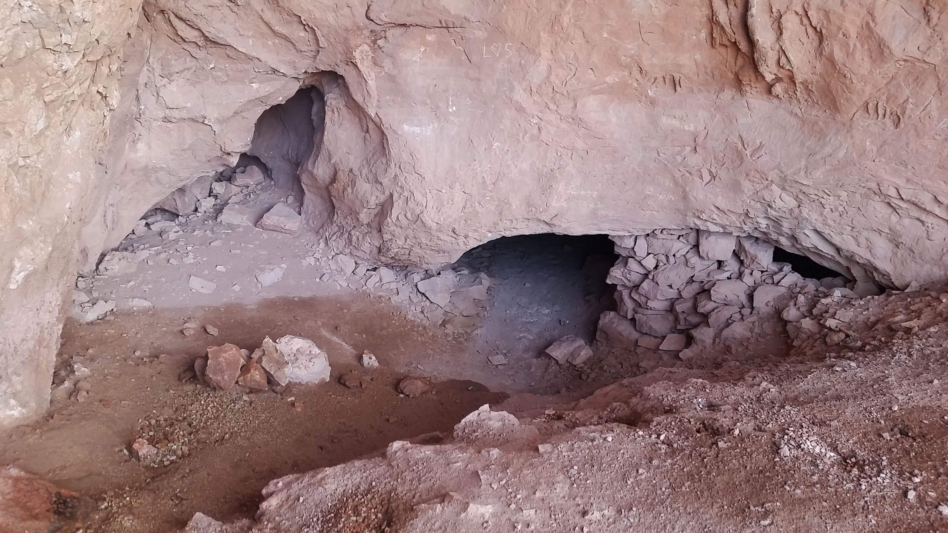
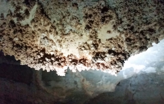
There I found a small entry to the cave. Sporting my headlamp and camera, I entered. The cave was much warmer, probably mid 50’s compared to low 40’s outside. It was also dusty and the air was a bit stagnant. I searched around and found the typical formations, stalactite and stalagmites, but also found some bacon, popcorn…a little bit of everything. I poked around the main chamber of the cove, trying to look down all the legs of the cave. I found quite a few that undoubtedly went further into the ground, warranting further exploration. Curiosity began to rear its head, but I quickly squashed the idea. I didn’t have much time, and the cave was not my primary goal of the trek. I was already breaking quite a few caving rules (running solo, with only 2 sources of light, and no helmet), so I thought it best to move on and come back another time. I emerged from the cave the same way I entered and was soon back on the trail headed towards the river.
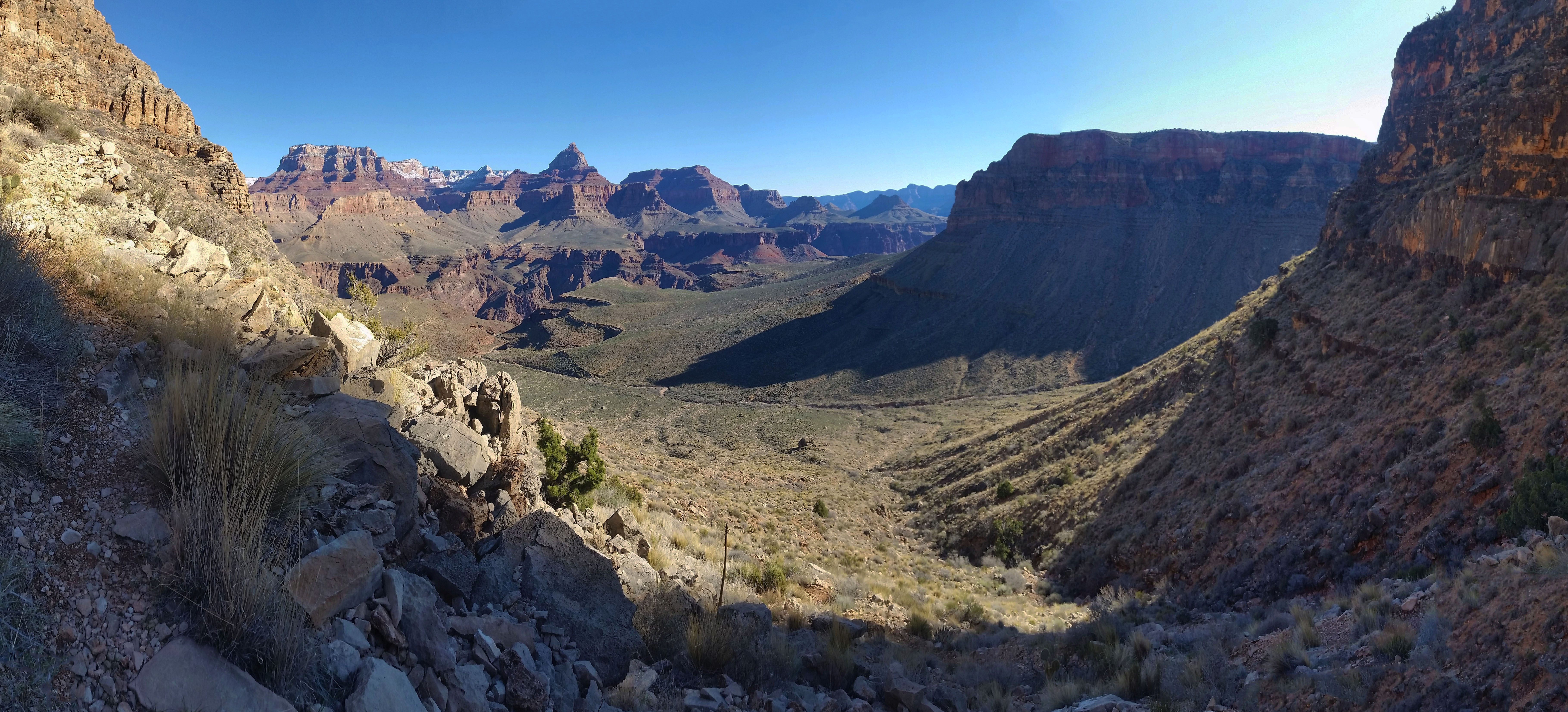
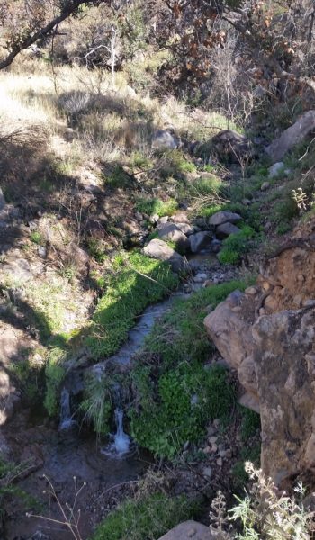
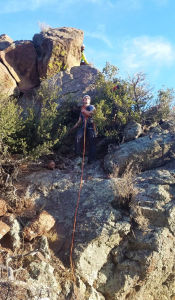
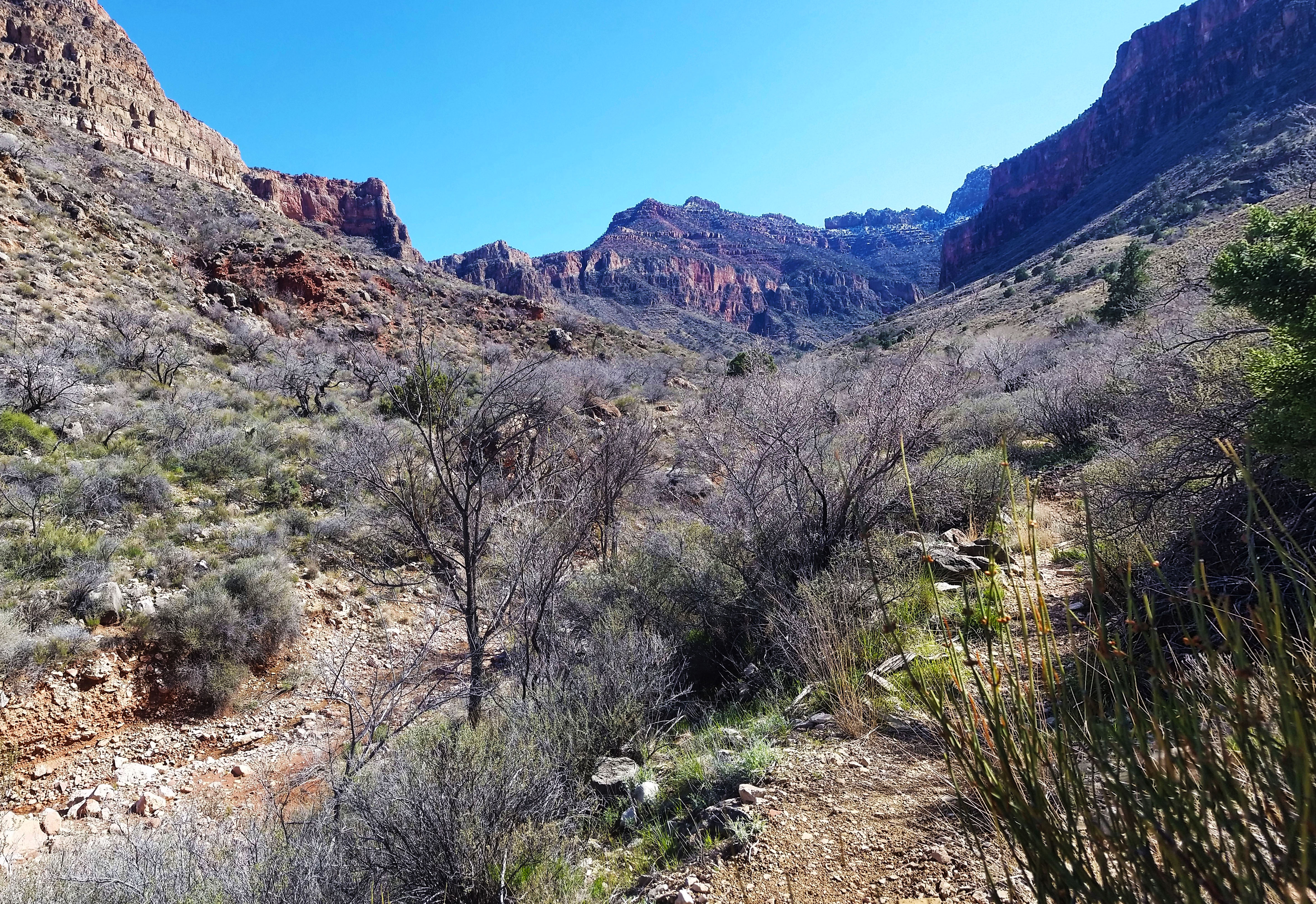
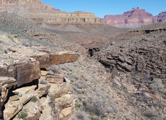
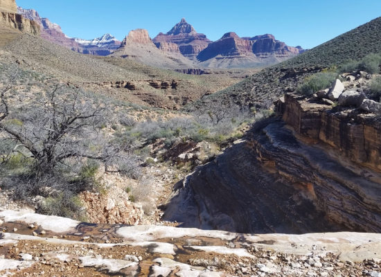
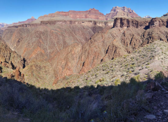
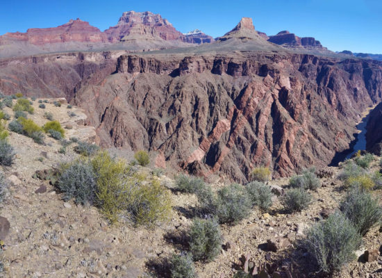
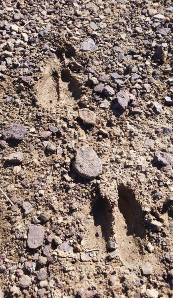
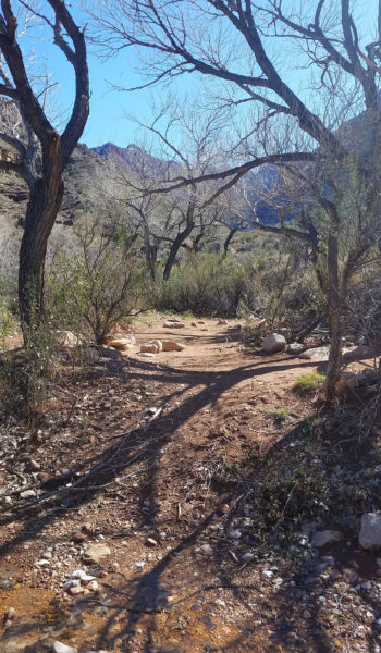
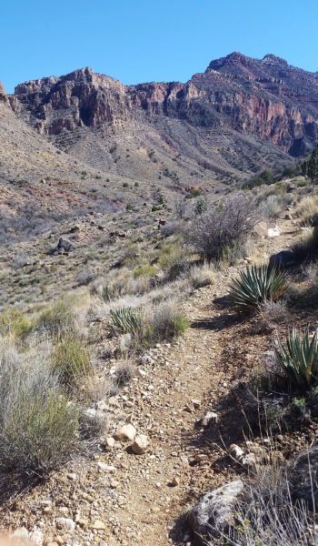
I dumped off the front side of the Horseshoe Mesa, tying into the Tonto trail skirting west towards the Old Grandview trail. The trail down from the mesa was quite different that the beaten trail above. It was much more sparse and I had to follow cairns until finally reaching Tonto. By this time the temps were perfect… still chilly, but just right while moving with some sun on me. I rounded a corner and saw my first sign of life. A pack of small brown birds erupted in flight, all chirping and fluttering. It was such a nice day. The Tonto trail moved quickly and I pushed on passing Cottonwood creek, which to my surprise was running. It seemed like a little oasis. I could see some lush green foliage clinging to life near the small creek.
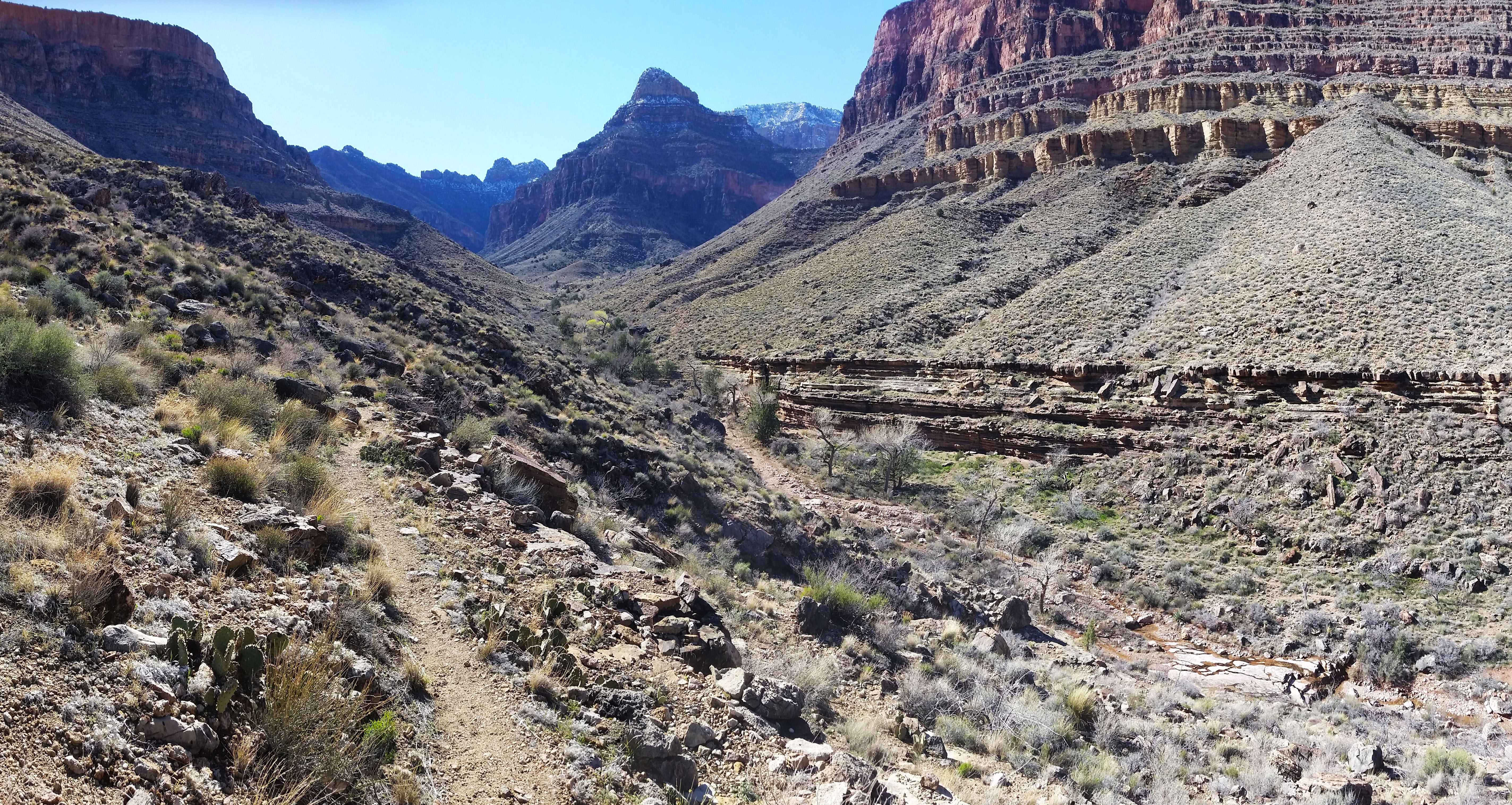
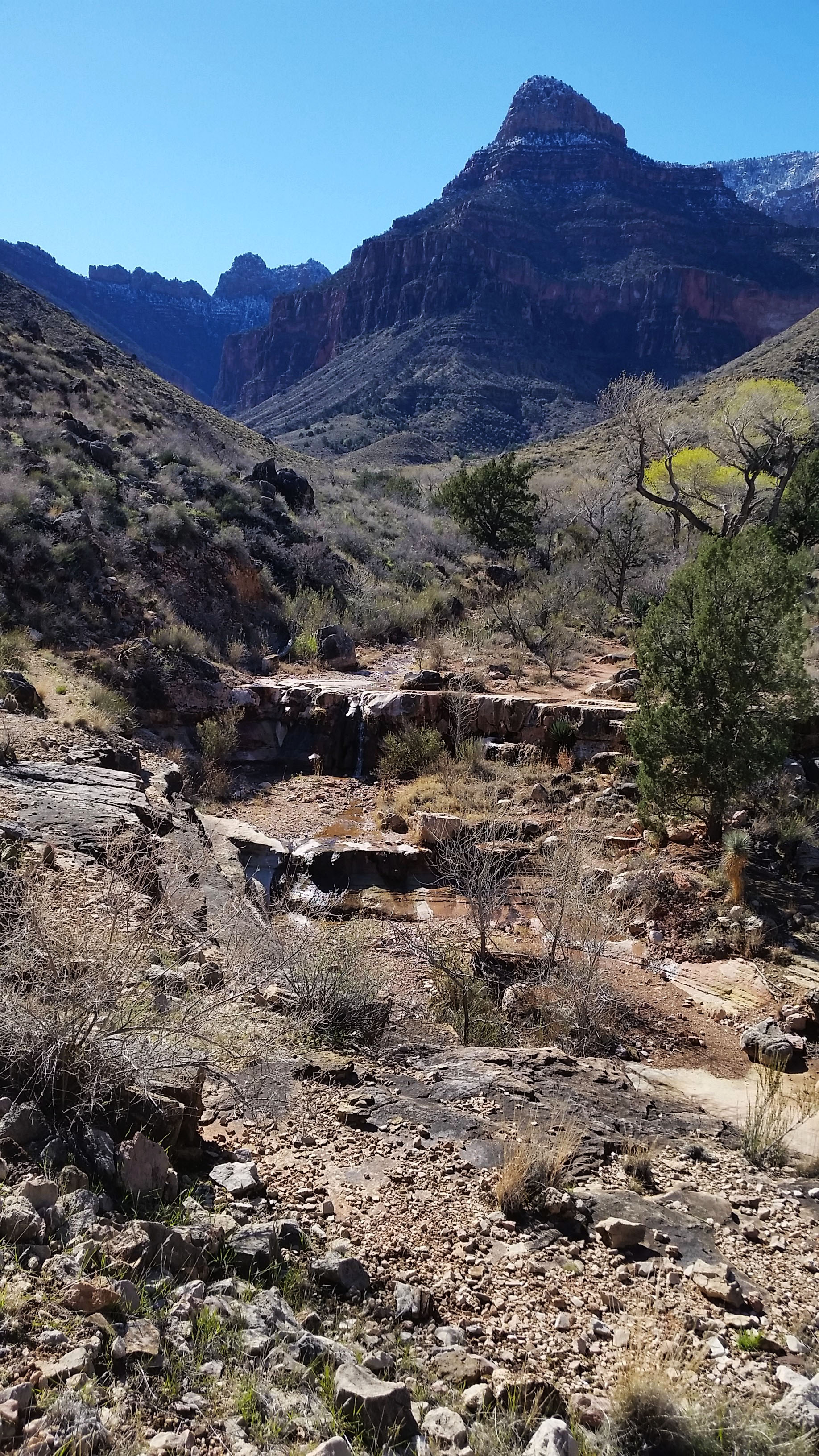
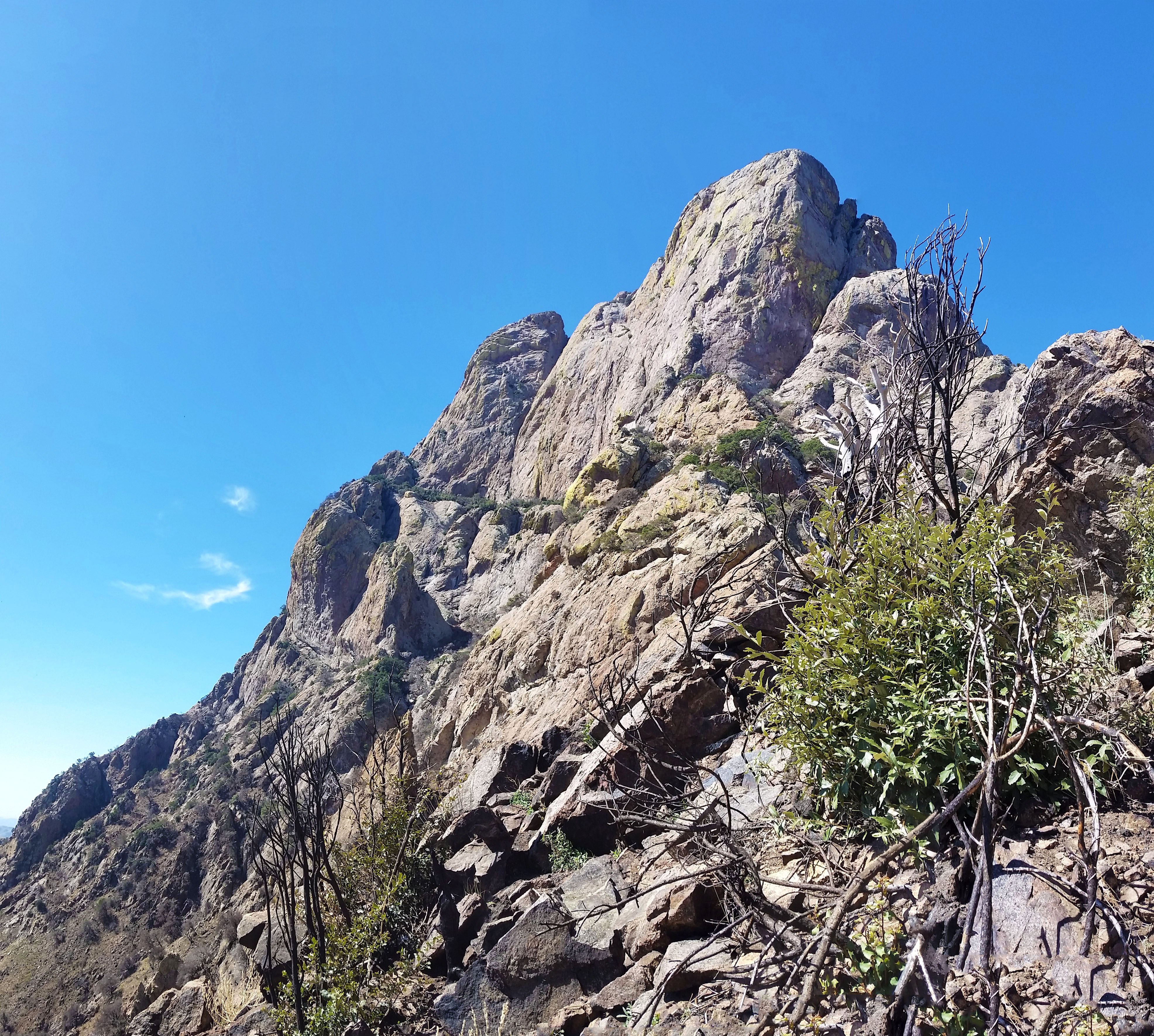
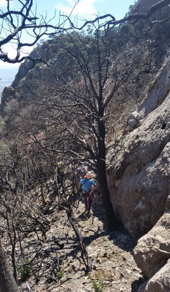
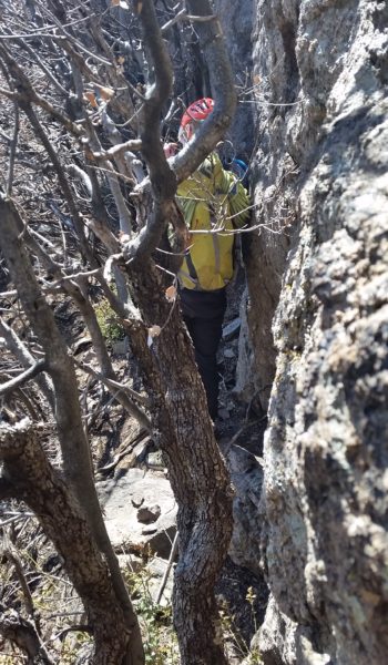
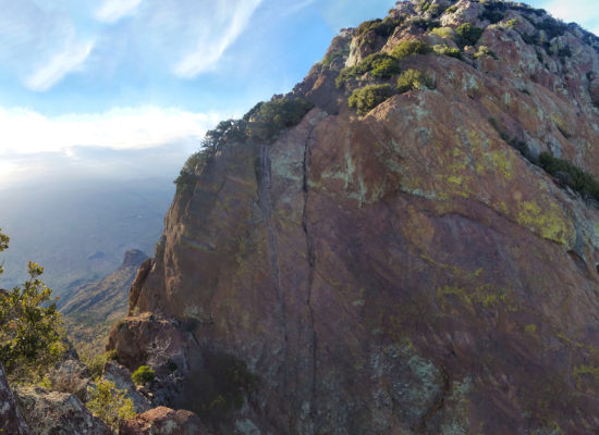
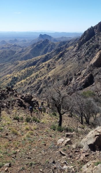
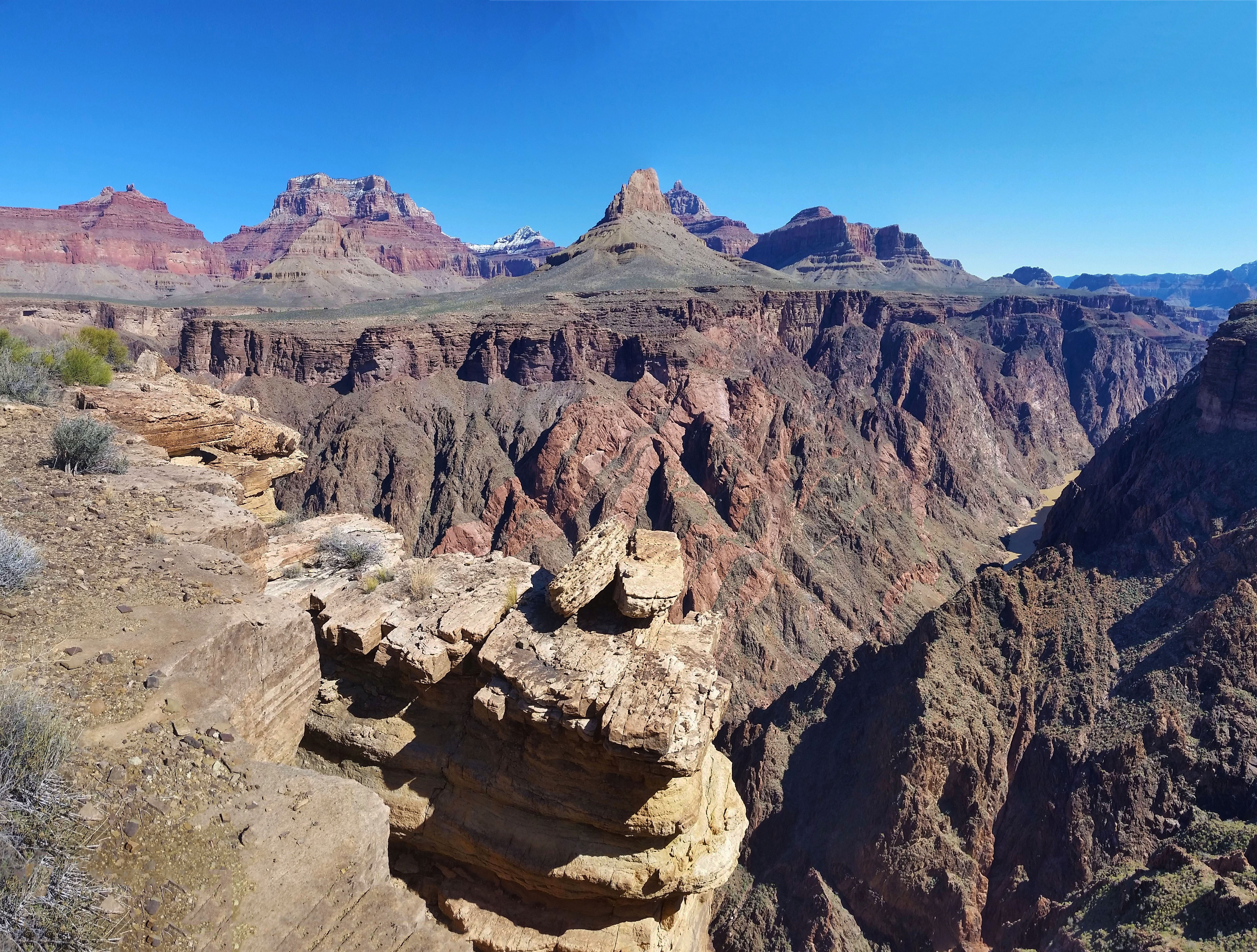
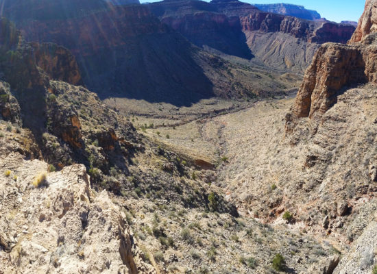
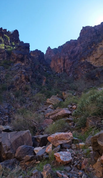
The Tonto snaked back and forth in and out of canyons until I finally reached a large cairn signifying the Old Grandview Trail. I looked down at the inner gorge in awe. The rock here was hard and impenetrable, which is why there are only a very few trails that lead all the way to the river as the rocks offered a type of protection. Skeptical of the difficulty, I cautiously proceeded down the steep embankment which dropped down to the river with 1,200 foot drop in just under half a mile. “Oh look a cairn!” I thought as I descended, and I was very surprised how good the trail was. Another cairn, and another, “Man this isn’t nearly as bad as I thought it was going to be” I thought as I pushed on. I found myself climbing over the first notch into a shadowed wash, everything was pretty smooth. I passed the second notch and entered the final wash which would take me all the way to the river. A little loose but very doable, and I hardly had to use my hand.
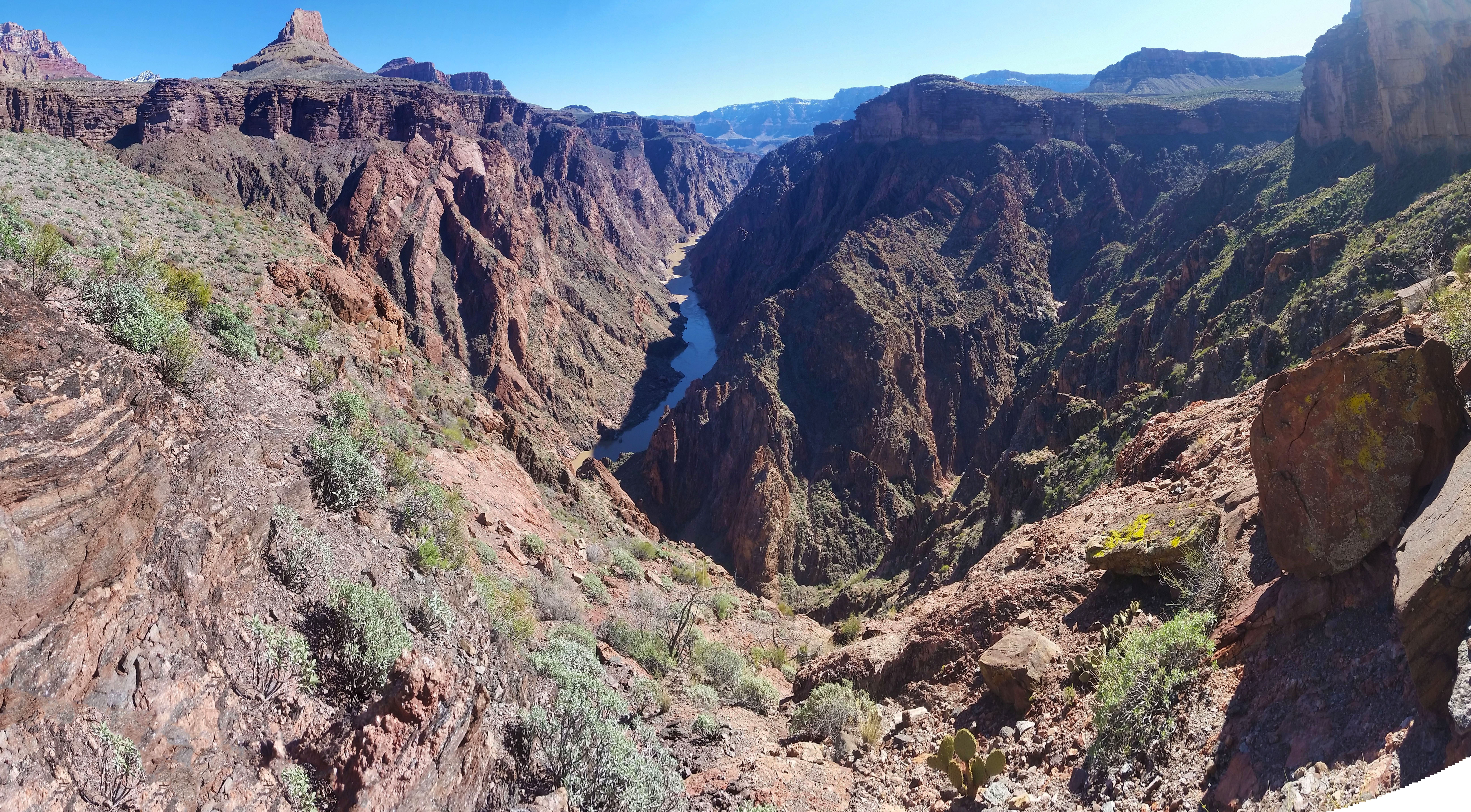
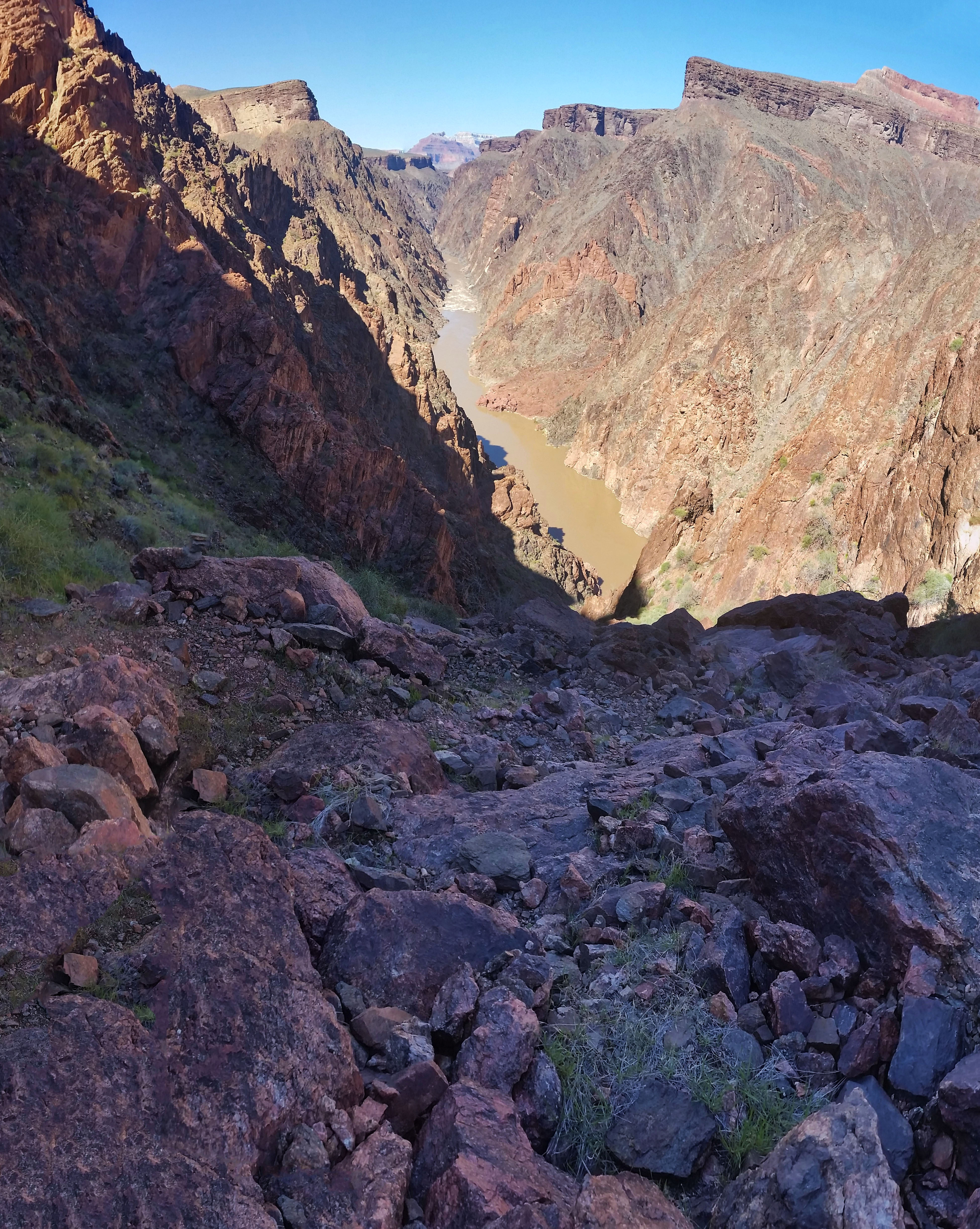
Soon enough I found myself sitting on the beach of the Colorado River. The water was murky, but powerful and cold as hell! The Colorado is always an impressive sight. I sat, ate a snack and had a nice break before finally packing up and heading back out. On the trek out I decided to take the Cottonwood Creek trail and I wasn’t disappointed. There weren ample opportunities to camp creekside, which was shaded by the namesake cottonwood trees that lined the edge. The gain was good, but it secretly became my favorite part of any trip. I pushed hard and trekked at a good clip. It was just me, so no one to catch up to or wait on. Sometimes it’s nice to have a little 1-on-1 time with the canyon. I finally pushed out and ascended the last snowy switches to find a few people at the trailhead taking in the view and taking pictures with their families. Another trek successfully completed. Man I love the canyon! I hope you will get the chance to see it too, trek on!

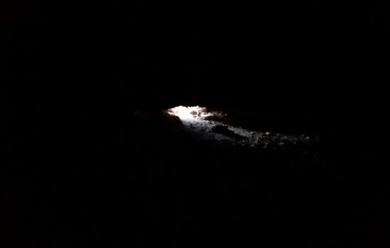
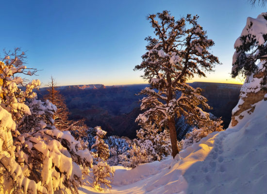 Snow?! Heck yes, gotta love that golden light!
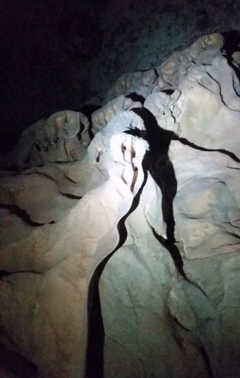
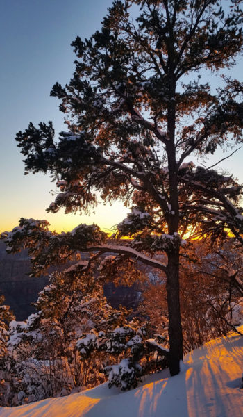 Golden goodness!
HIKE INFO:
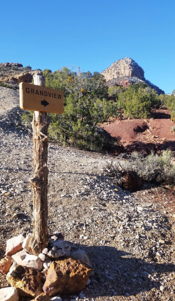
- Grandview Trail – https://hikearizona.com/decoder.php?ZTN=227
- Cave of the Domes – https://hikearizona.com/decoder.php?ZTN=549
- Old Grandview – https://hikearizona.com/decoder.php?ZTN=17517
- Tonto Connector Trial (I only used this to get from Grandview to Old Grandview Trail) – https://hikearizona.com/decoder.php?ZTN=1449
- Cottonwood from Tonto to Horseshoe Mesa – https://hikearizona.com/map.php?GPS=35850
HIKE STATS:
- Weather: Hi 60s, Low 10s, Sunny
- Water: 3 liters
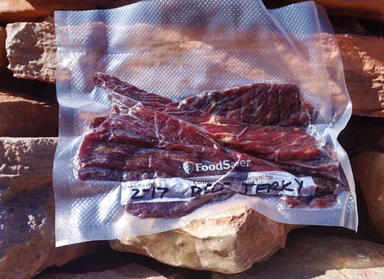
- Food: Snickers, 2 Cliff Builder Protien Bars, 2 Kroger Protien Bars, 1 apple, 1 bag of jerky, bag of salt and vennigar chips, 1 bag of cheetos, 2 granola bars, 1 bag of neon sour gummy worms
- Time: 10 hours
- Distance: 17 miles Round Trip
- Accumulated Gain: 5,000 feet
GEAR:
- Mule Camelback backpack (3 liter bladder)
- SPOT Tracker
- Black Diamond Trekking Poles
CLOTHING:
- Cotton Handkerchief
- Smart Wool Long sleeve shirt 195
- Smart Wool Beanie
- Smart Wool glove liners
- Patagonia pants
- Merrell Mid Moab Hiking Boots
- Darn Tough Medium Wool Sox
- Arcteryx Atom hoody
- Facemask