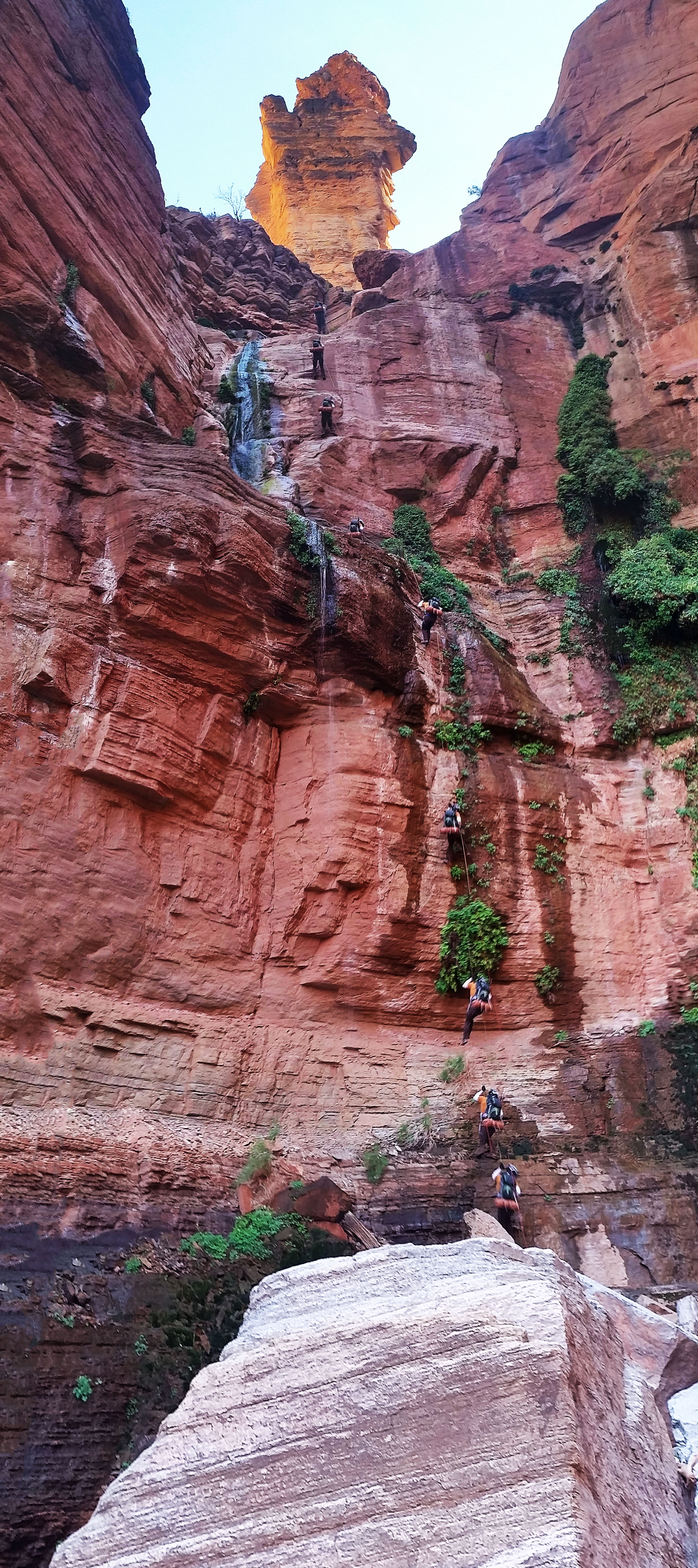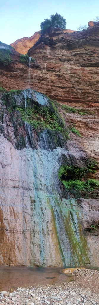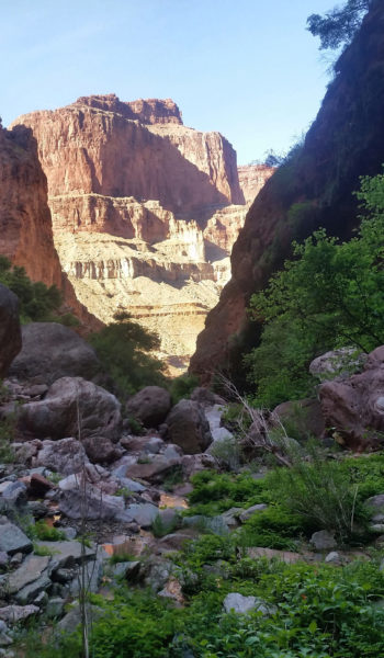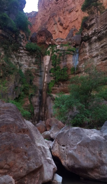

- Day 1: Royal Arch via Huitzil Point
- Day 2: Elves Chasm to Bass Beach Traverse
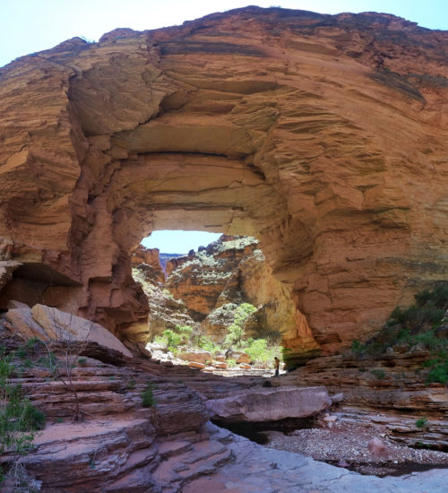
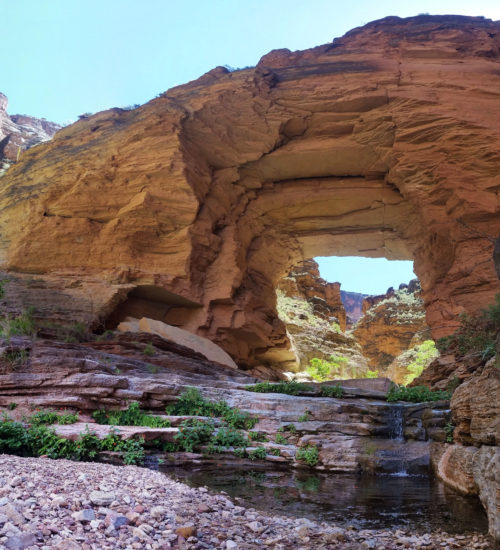
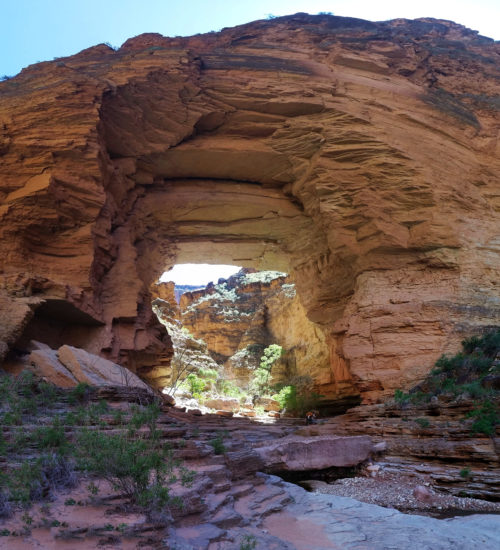
- Day 3: Bass Trail w Mount Huethawali
The alarm blasted once again. This morning was much cooler than the last. The cold air was pouring in off the Colorado River, and with nothing but silk liners for summer bags, both Mark and I were chilled. In the middle of the night I had put every piece of clothing on I had, attempting to ward off the nipping cold. It was no matter, I still woke several times in the night and was once again robbed of precious sleep. Sam was huddled up in his warm bag inside his one man, sleeping like a champ as we poured out of the tents to get moving in the twilight hour.
Today we planned to not only ascend to the south rim, but we also planned to bag Mount Huethewali, a quick side trek right off the trail! We stirred up breakfast and once again strapped on our bags for the haul out of the canyon. They were lighter than the days before but, still weighed heavy on your shoulders knowing the hard push we had ahead of us. Secretly the ascents out of the canyon are always my favorite, and I smiled as we let out from the beautiful secluded Bass Beach!
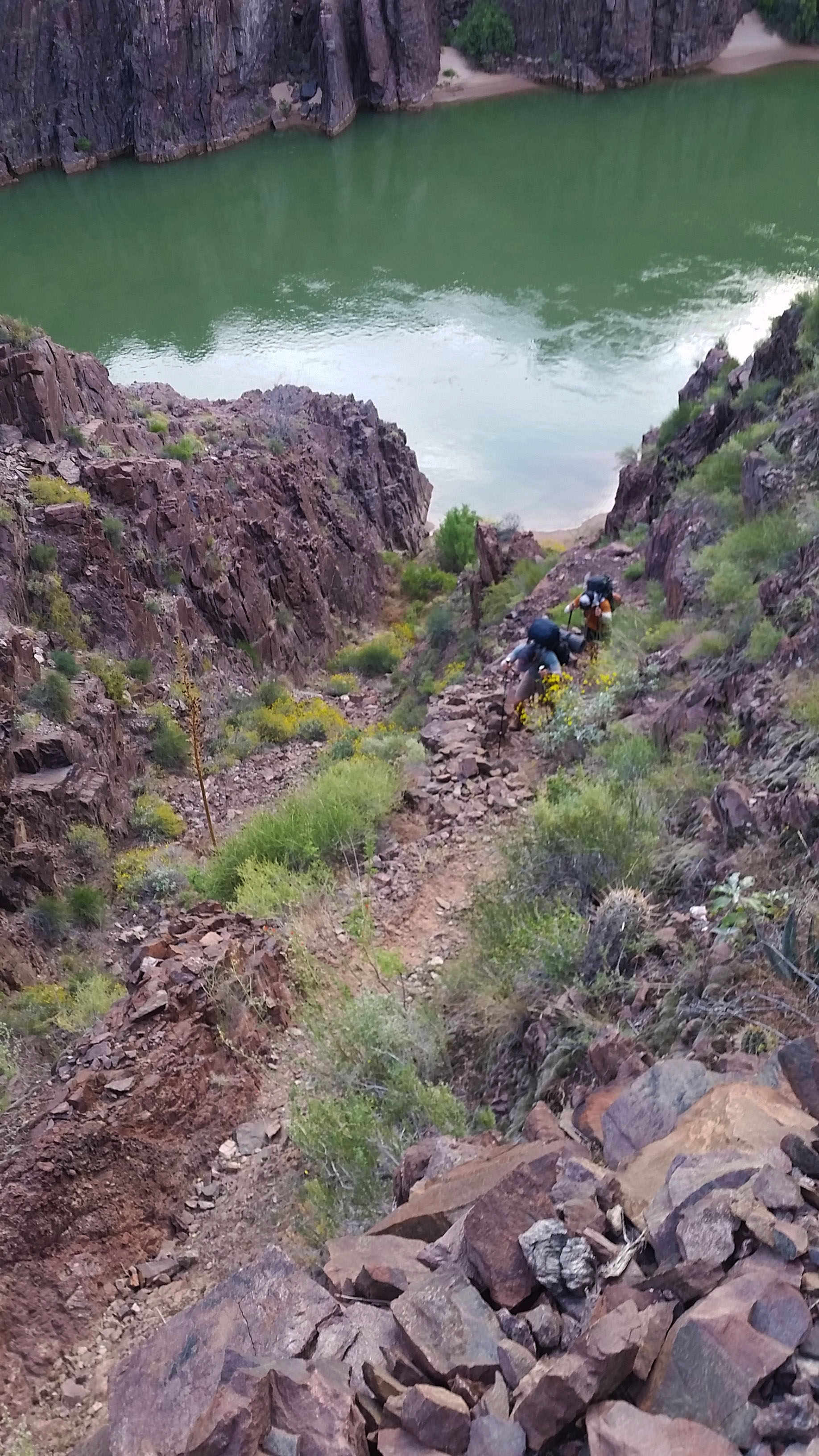
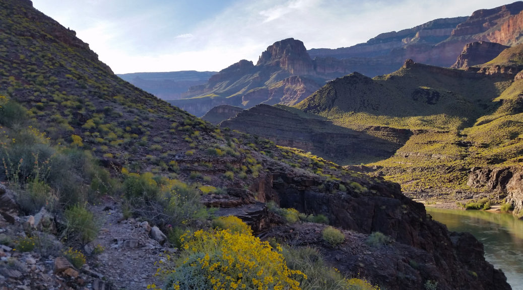
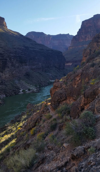
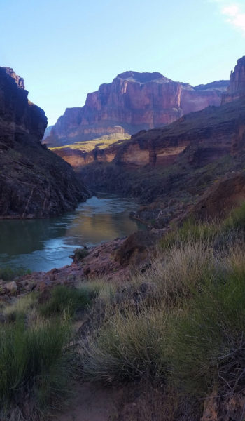
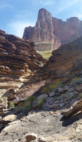
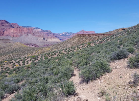
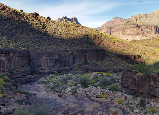
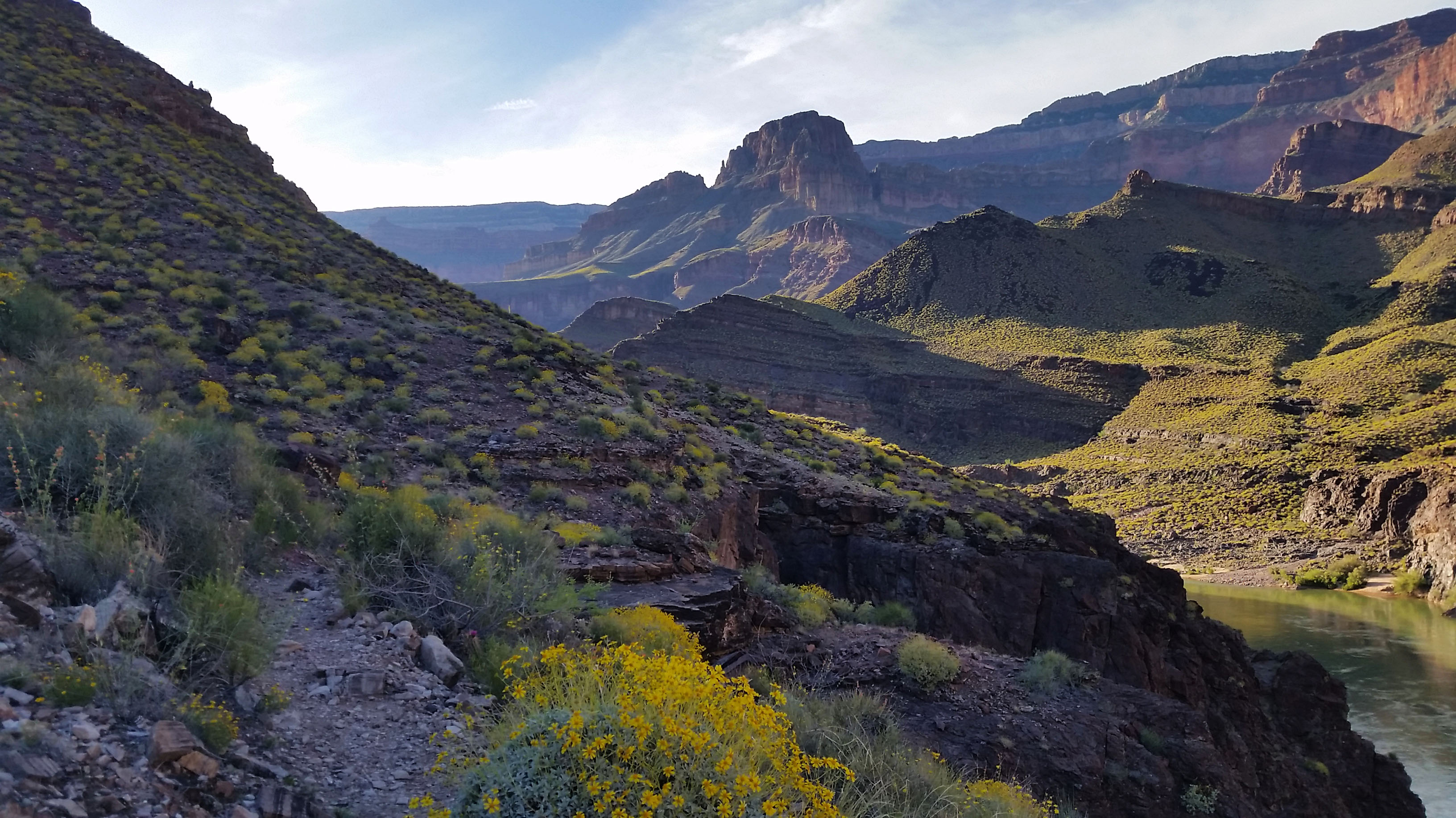
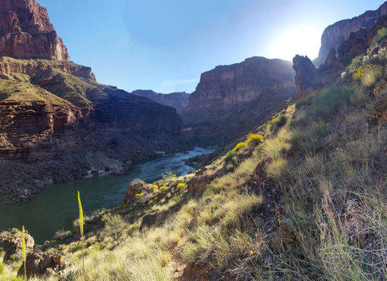
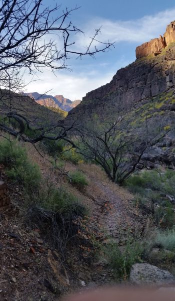
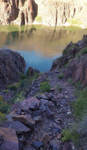
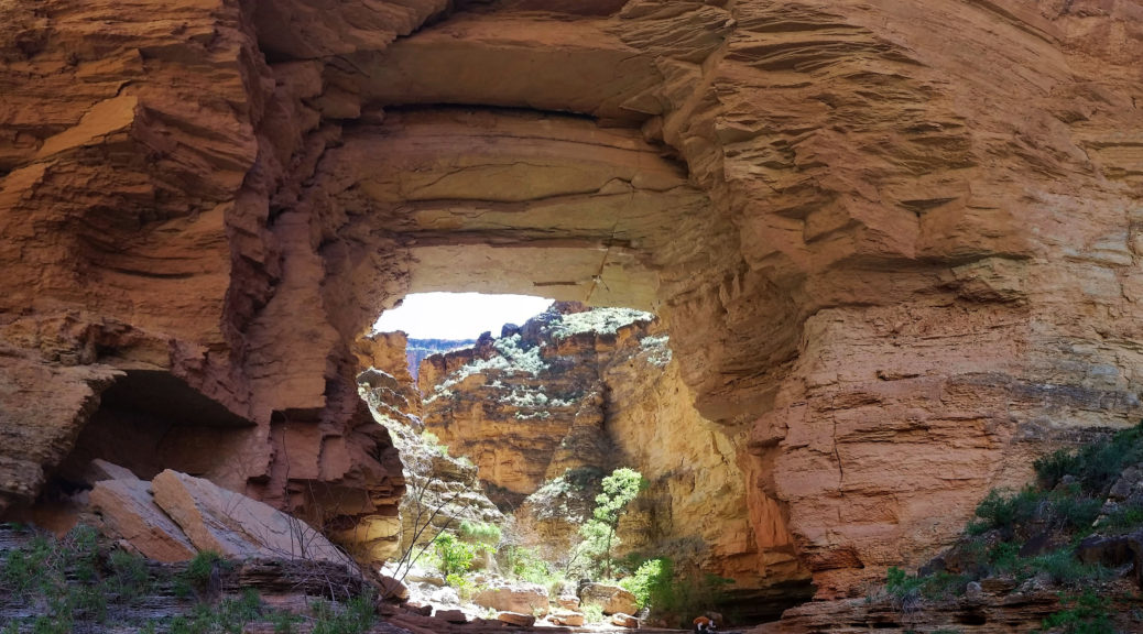
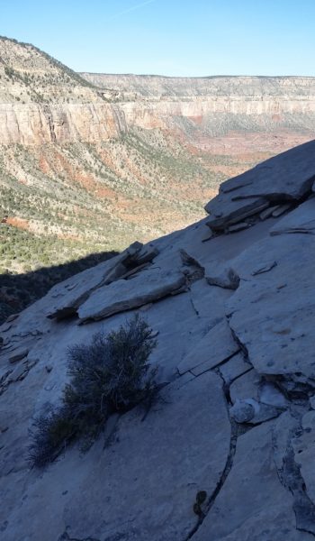
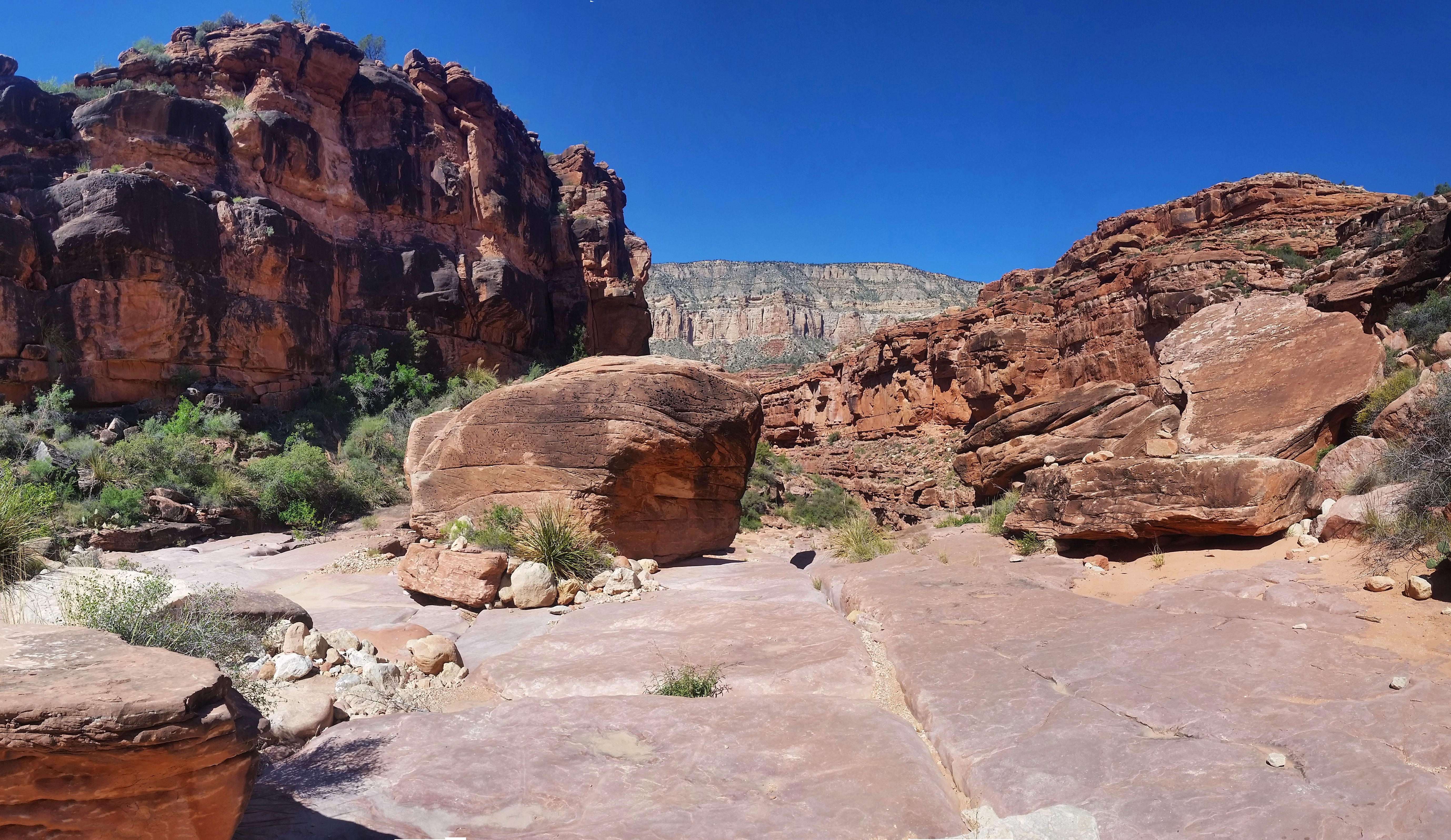
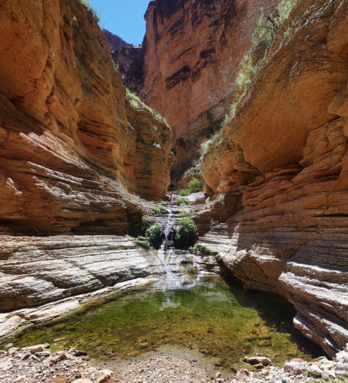
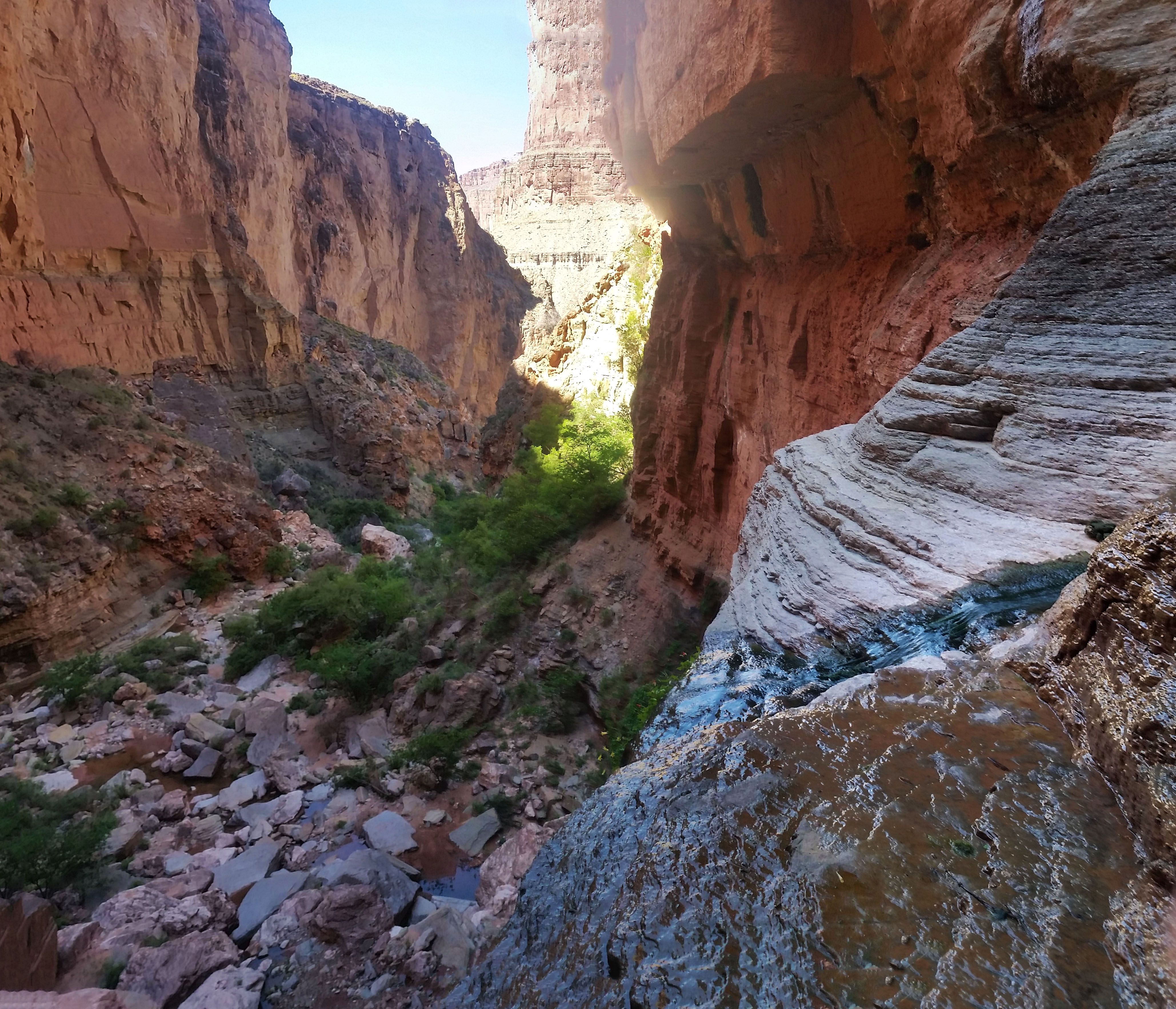
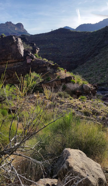
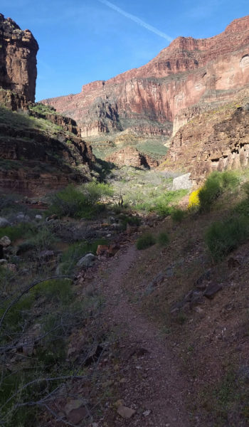
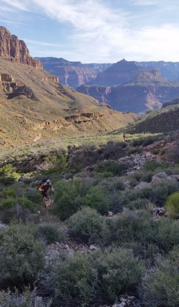
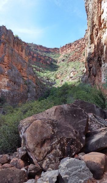
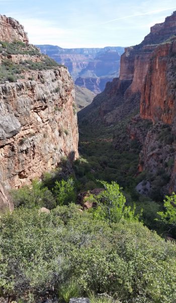
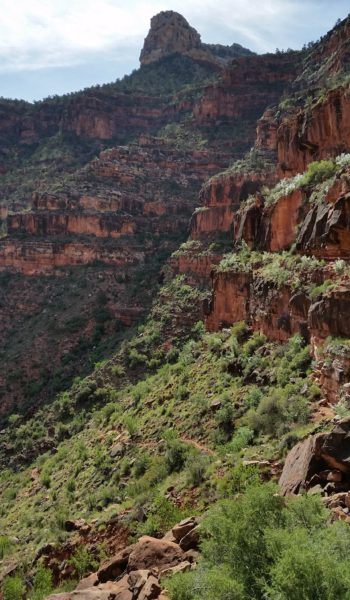
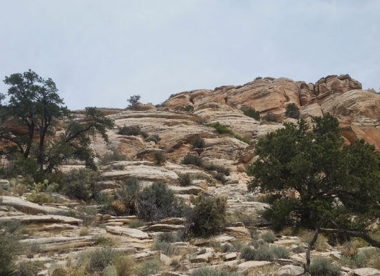
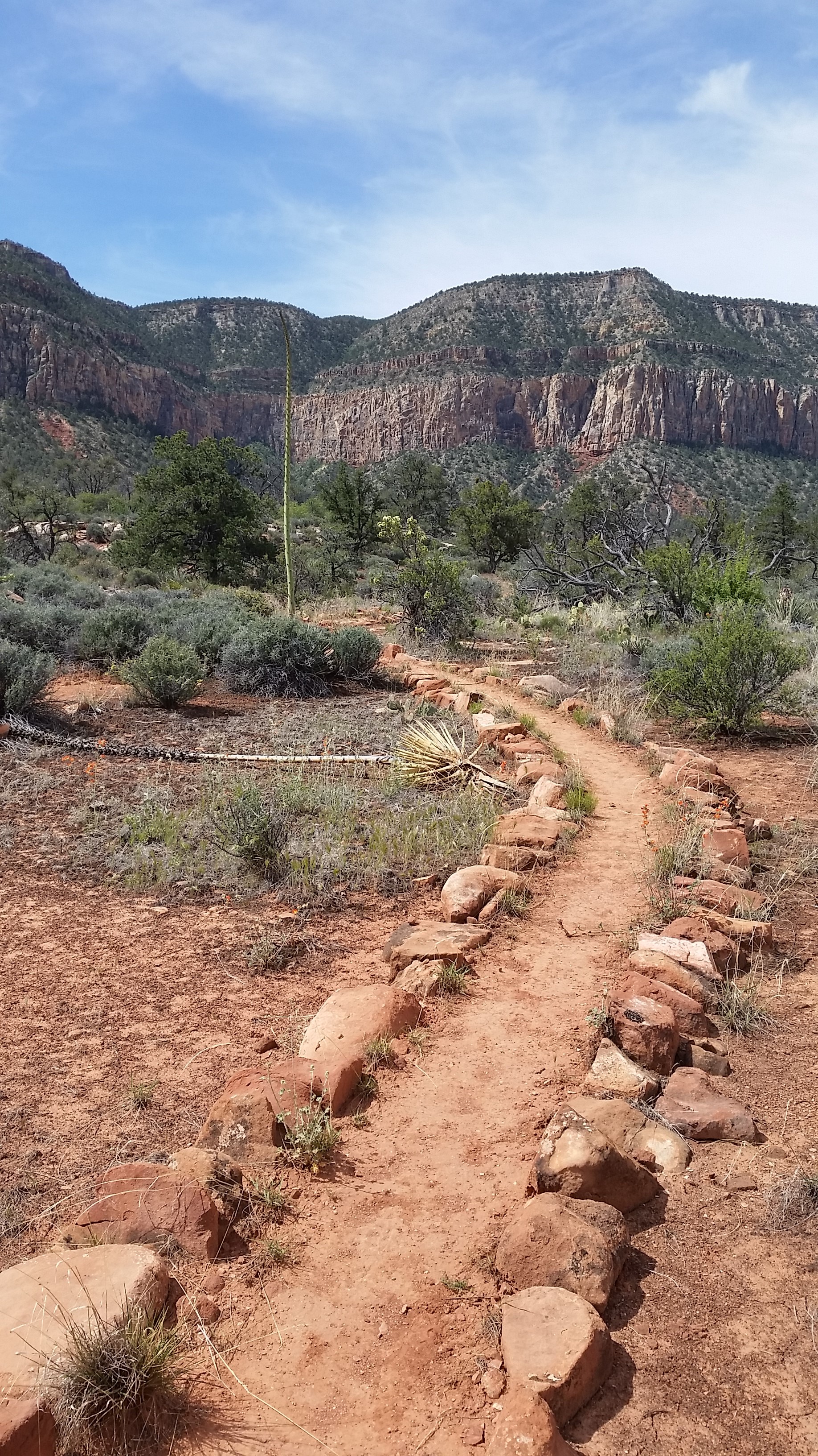
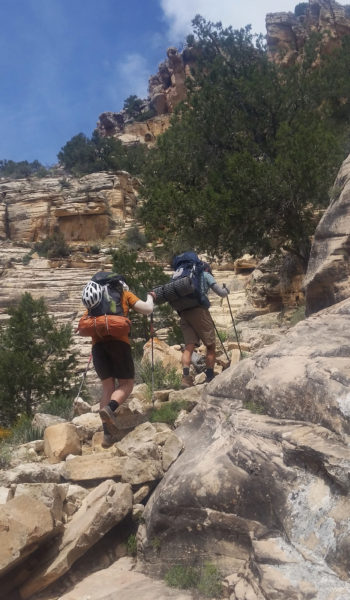
We trekked up, gaining quickly and we were soon skirting east along the inner gorge trail headed for Bass Canyon. The River Runners were leisurely having breakfast in the morning and we waved from high above the Colorado down to their position. The morning light bathed the canyon as we ascended and soon the sun once again shined on our faces. We turned up South into Bass canyon, hiding from the light as long as we could before the bake was on.
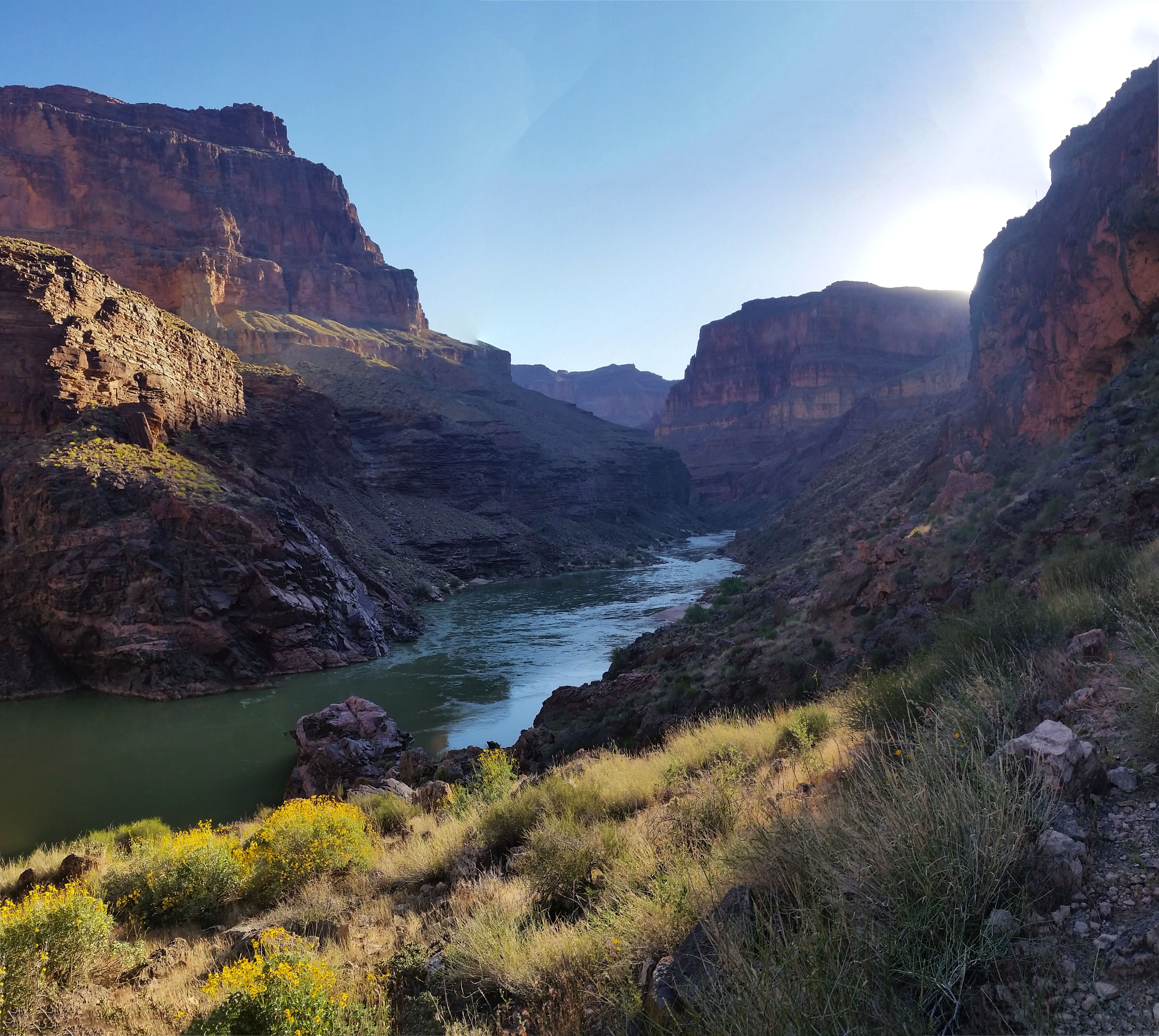
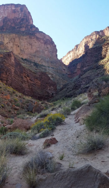
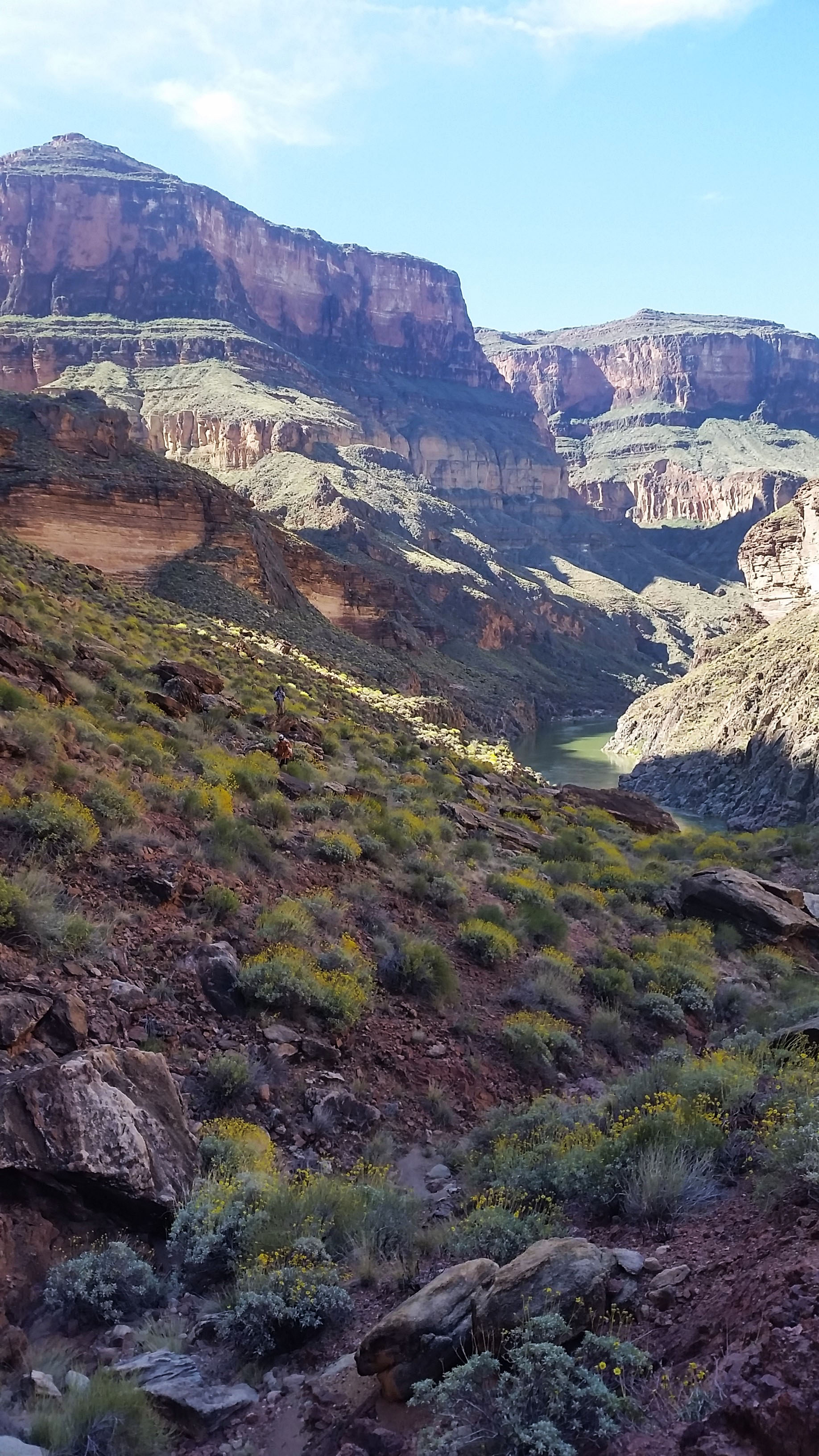
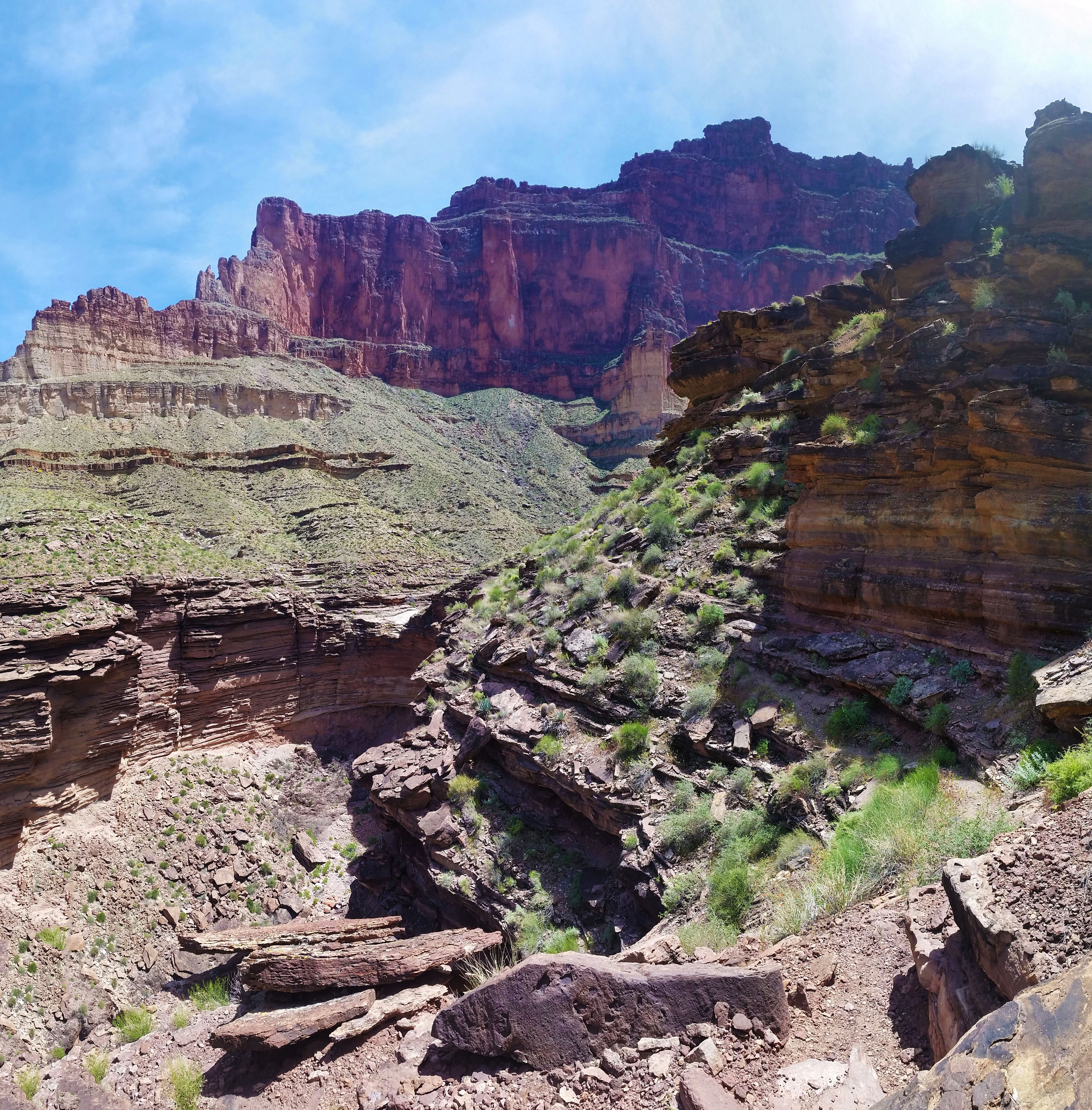
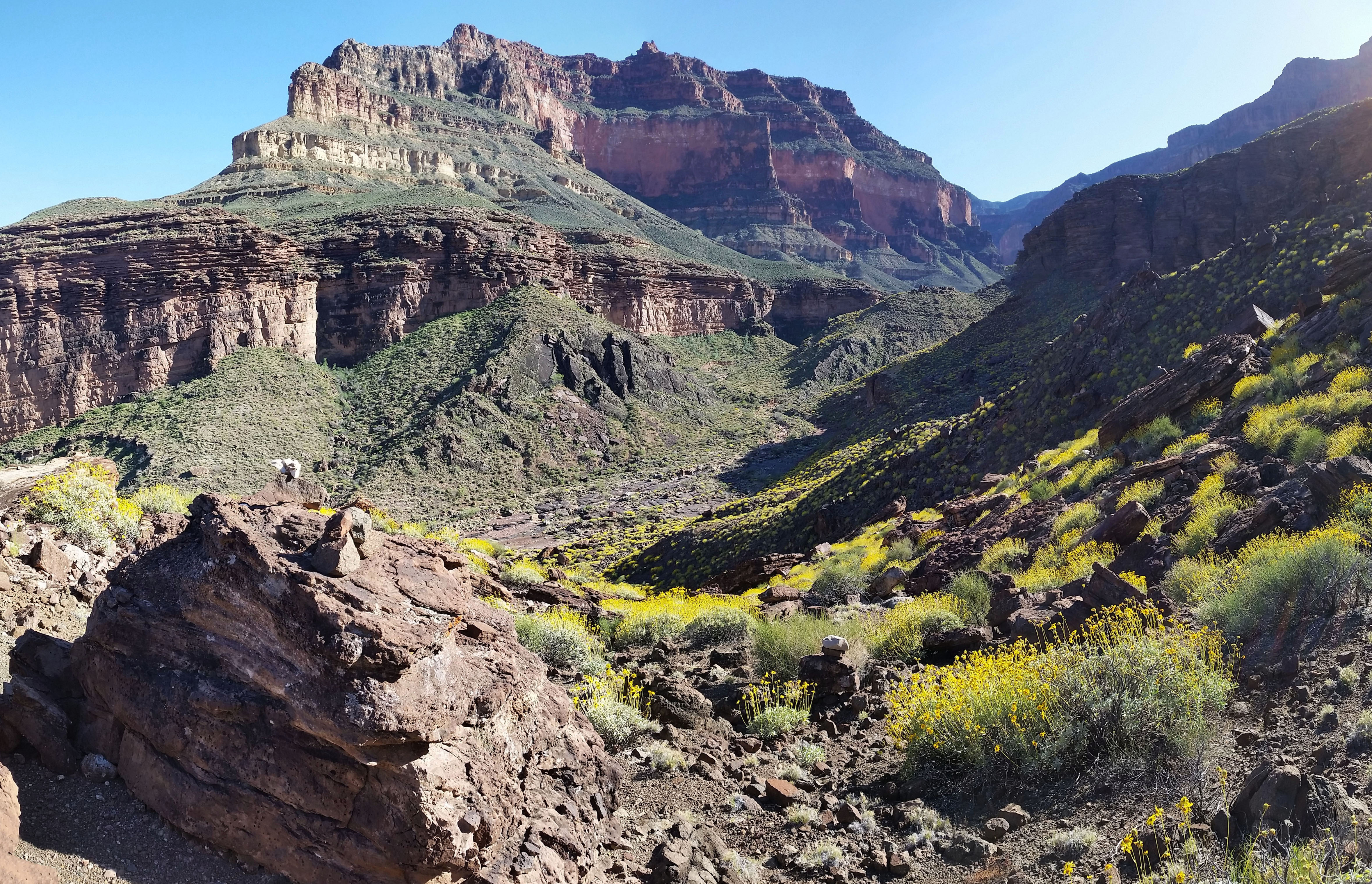
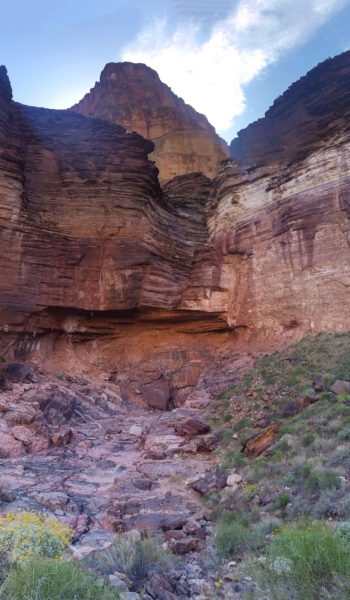
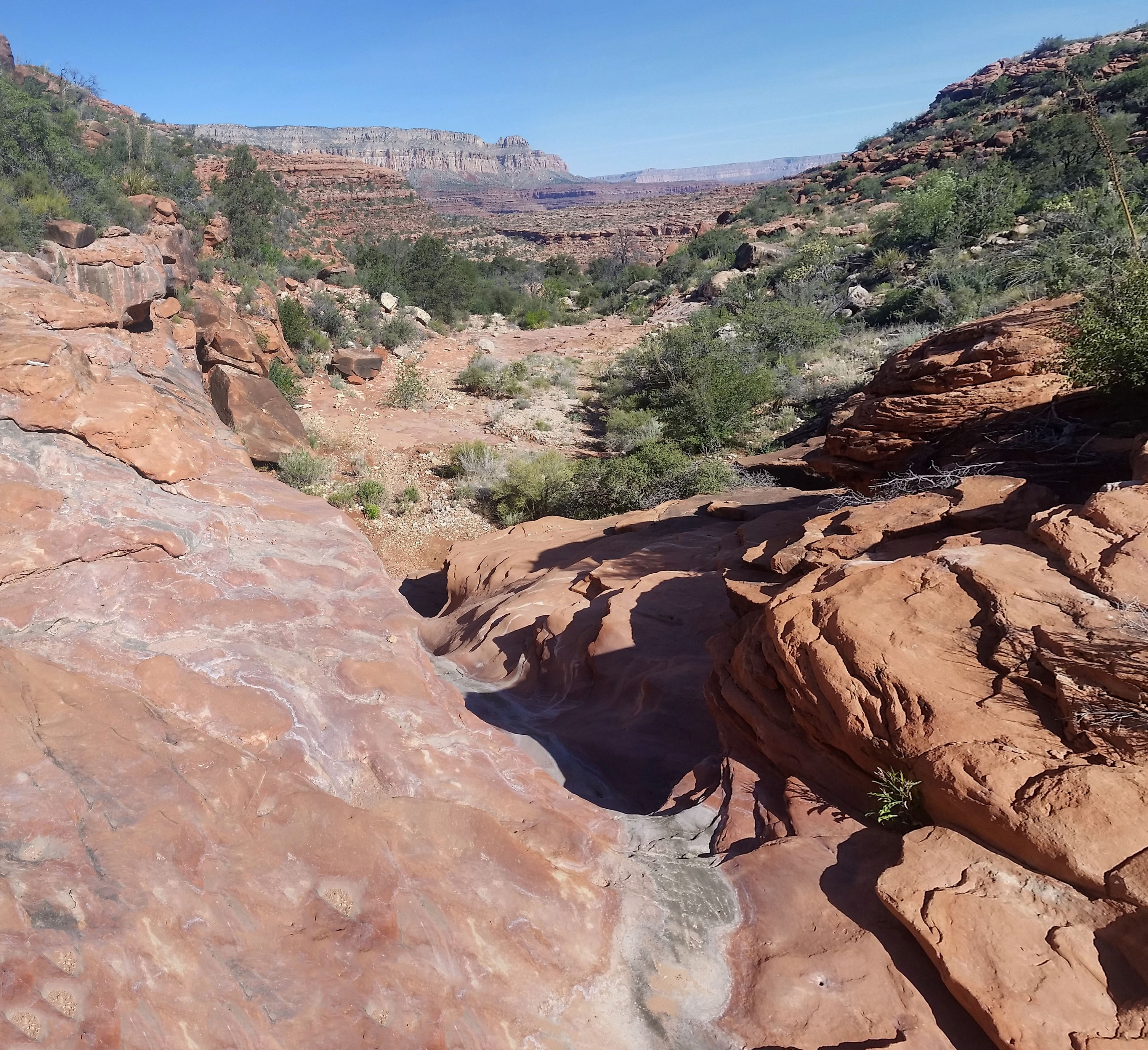
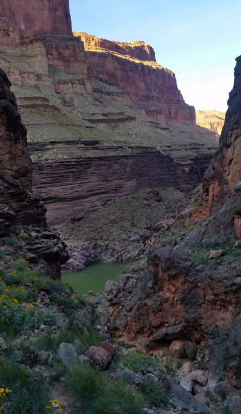
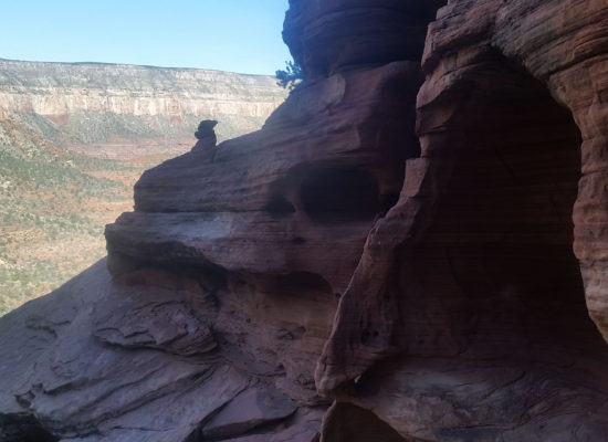
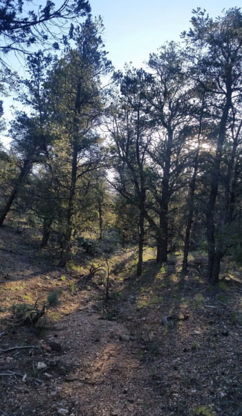
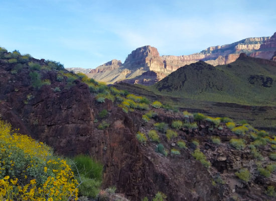 Morning light looking west
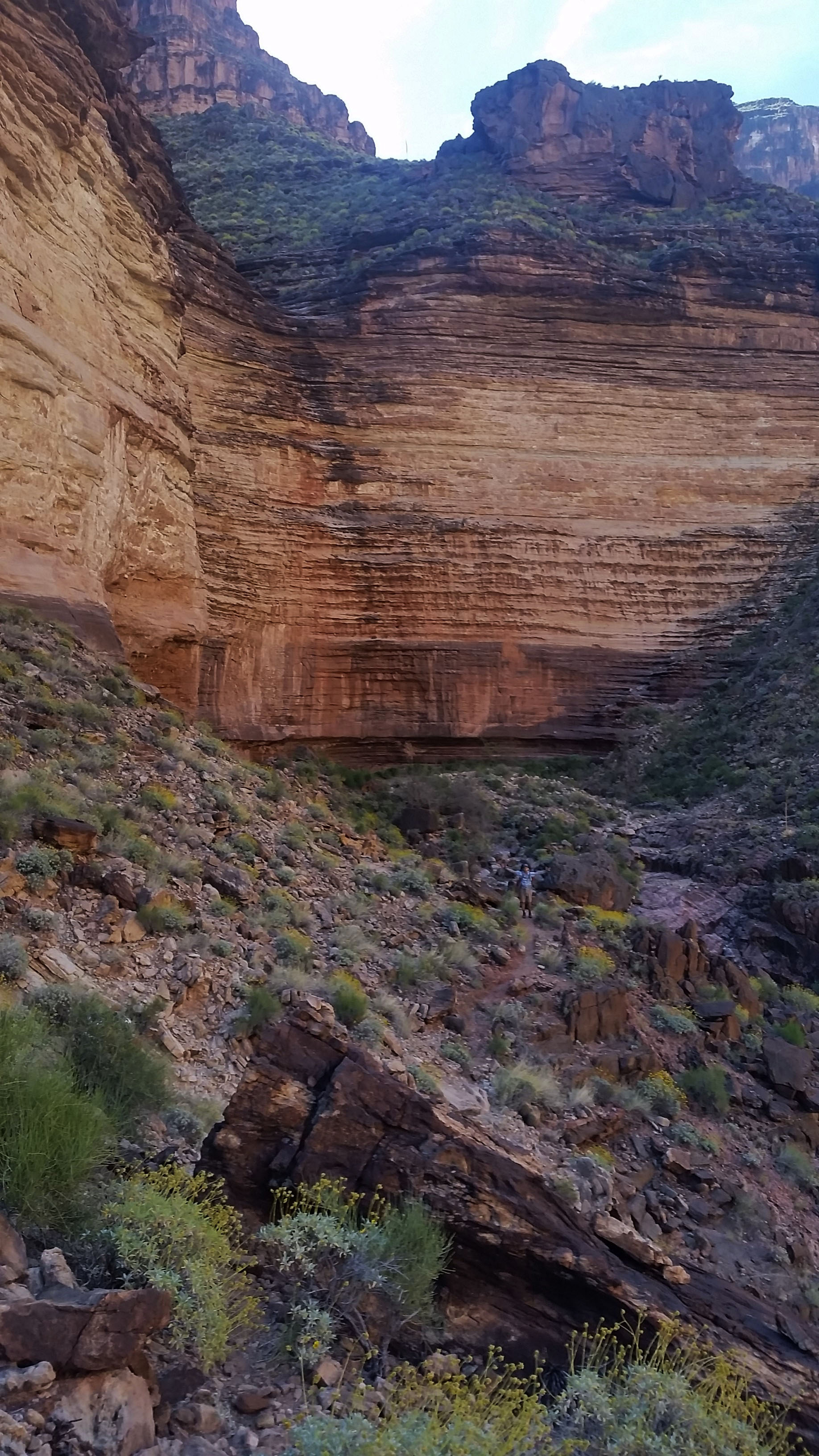
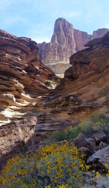
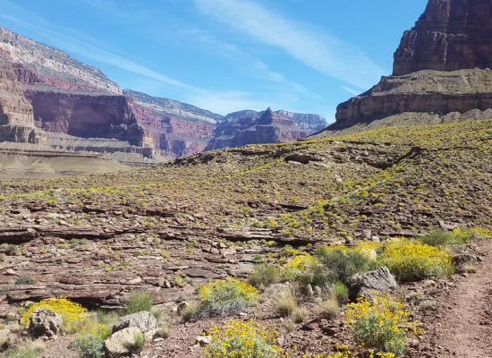
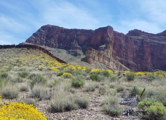
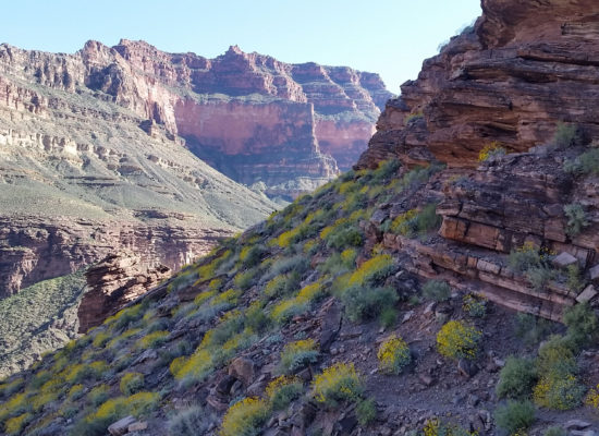
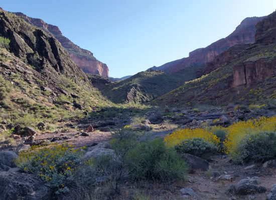
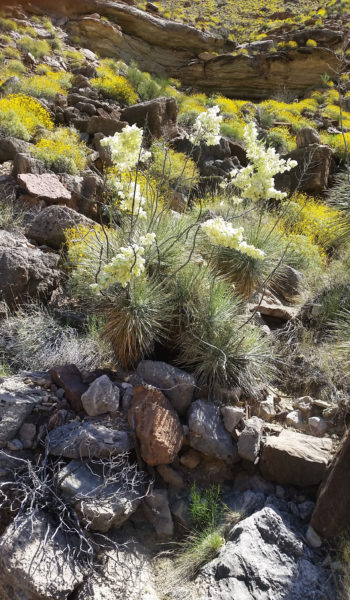
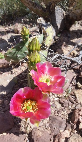
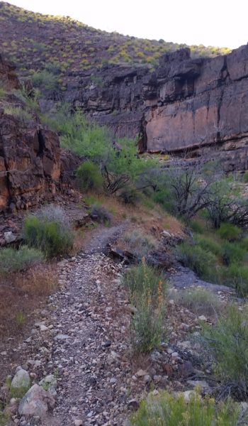
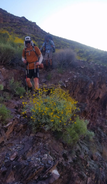
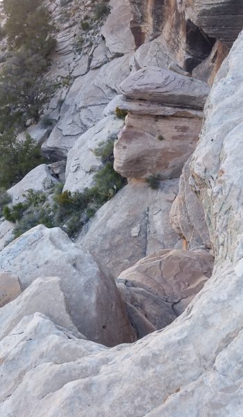
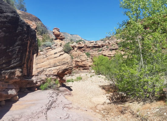
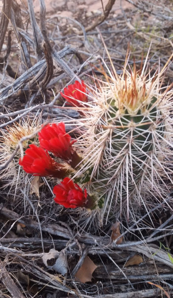
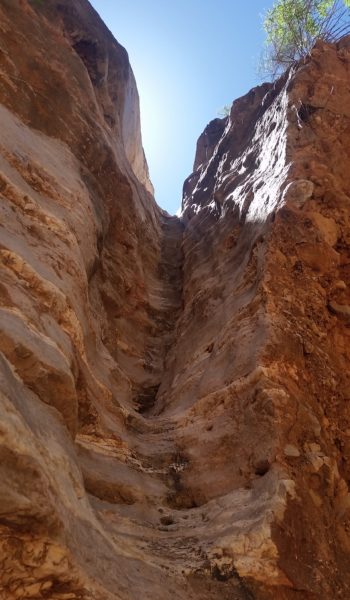
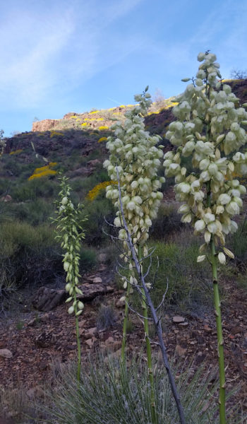
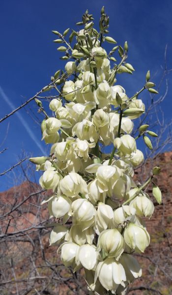
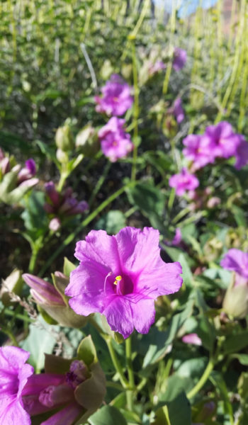
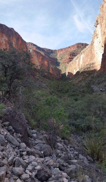
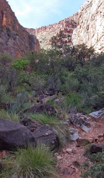
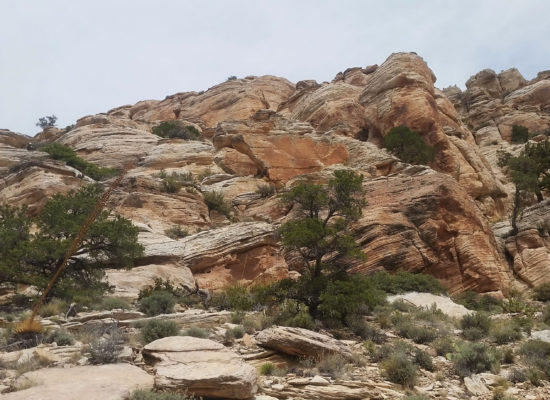
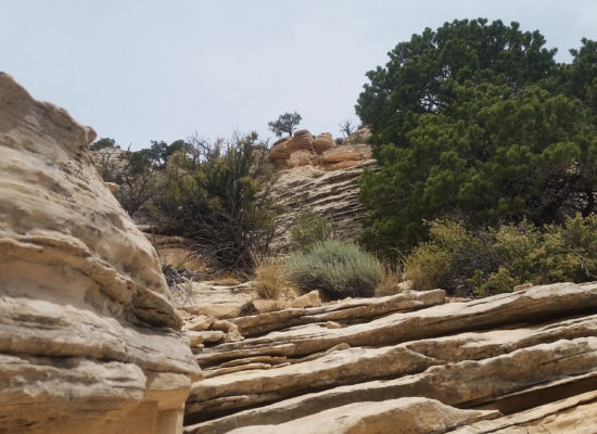
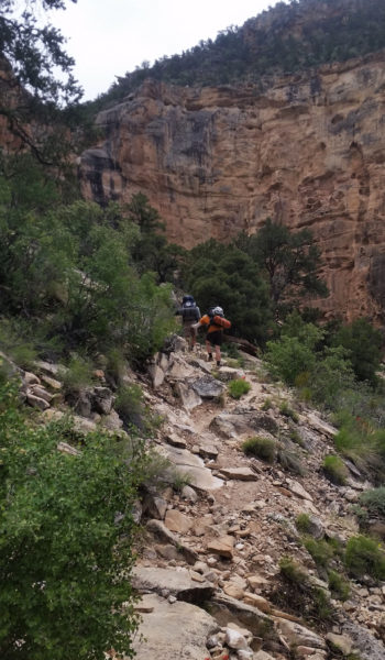
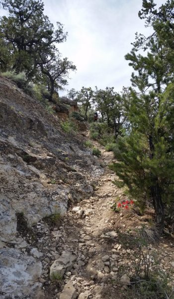
We snaked our way back up the trail we had trekked on the day before. At almost every turn there was another breathtaking view of the canyon riddled in spring flowers. We soon reached the confluence of the Bass and Tonto trail, we had actually planned to camp here the night before but had decided to push all the way to the river. By this time we were all in our own heads, just taking in the sights, and pressing up the ascending trail. As we gained up further, the canyon once again gave us a break and shaded our trail. We knew this wouldn’t last long.
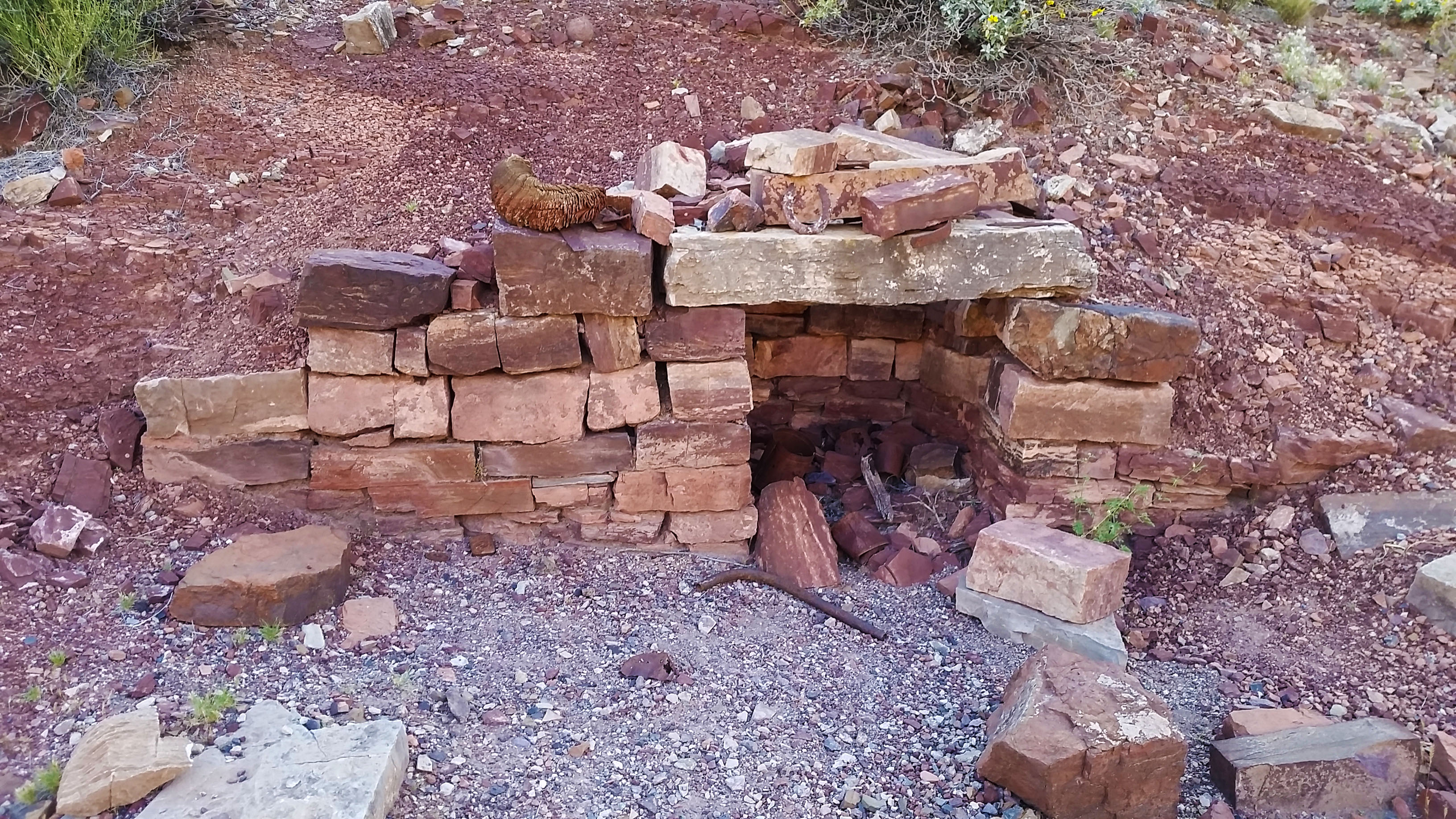
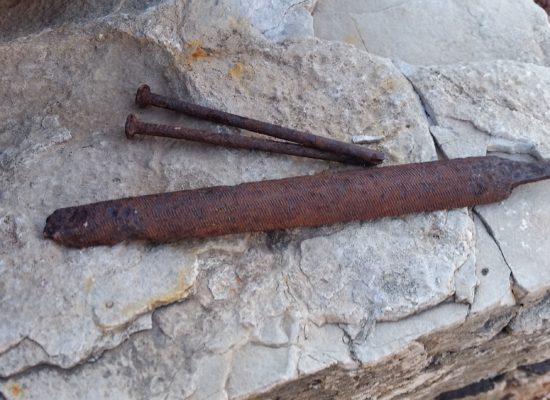
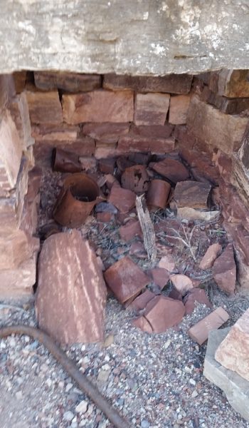
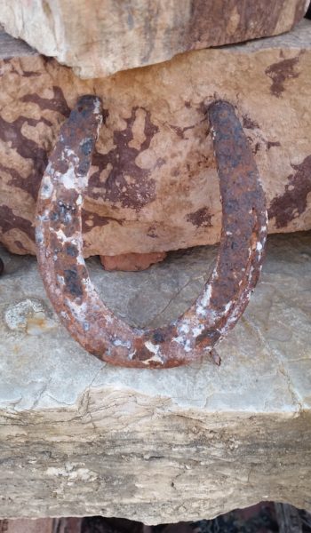
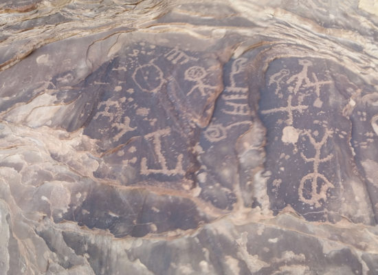
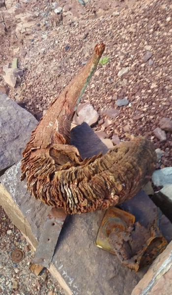 Bighorn sheep horn on the Cowboy fireplace we passed the day before . . . sooo cooolllll
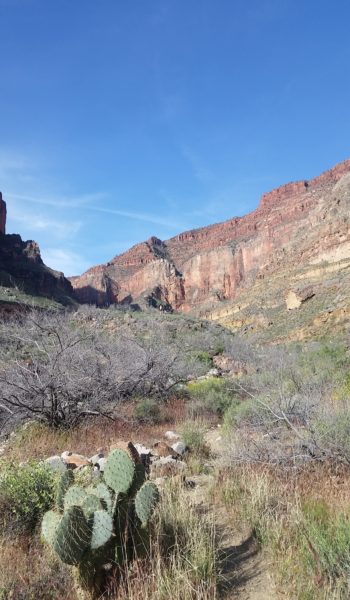
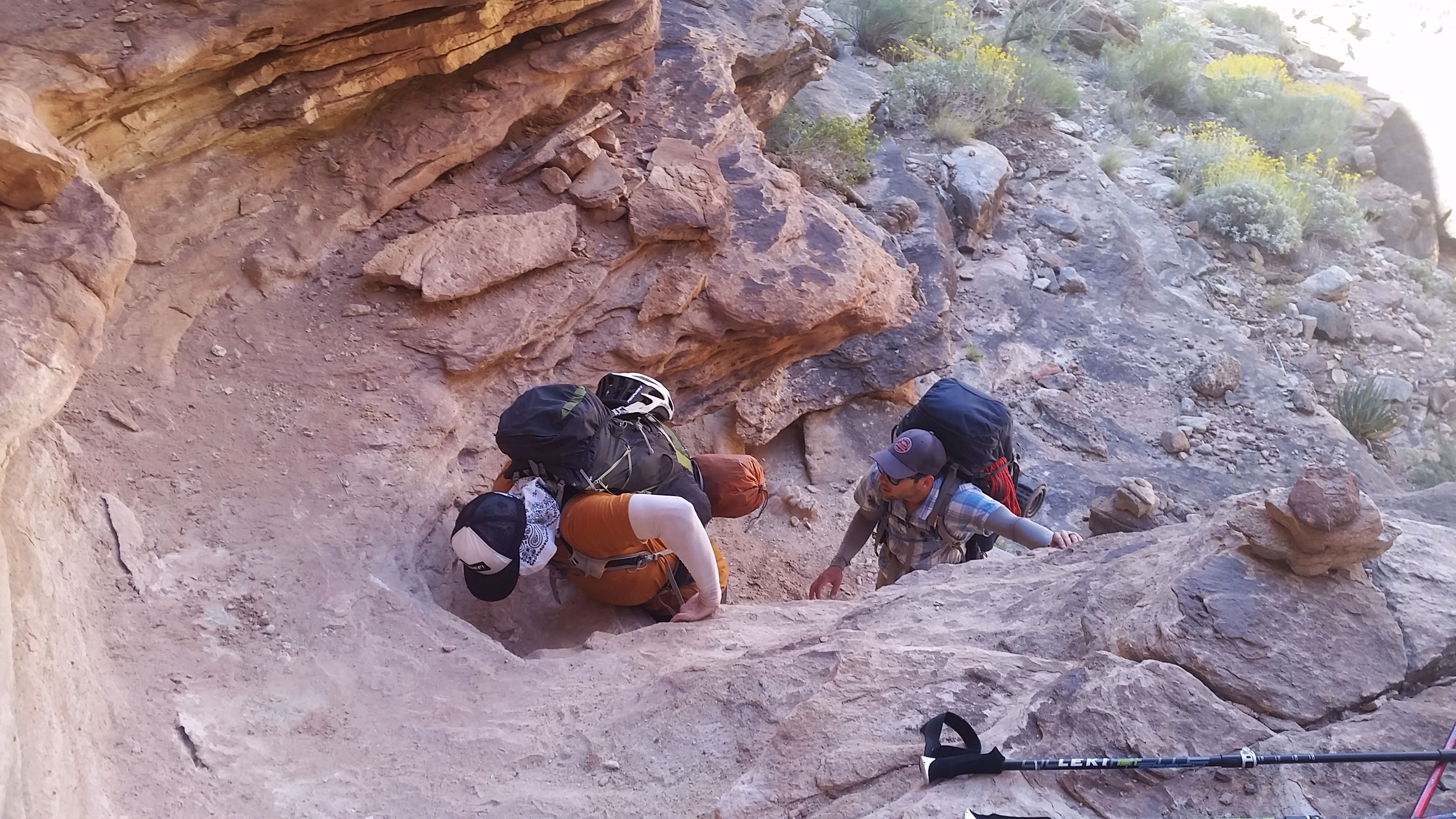
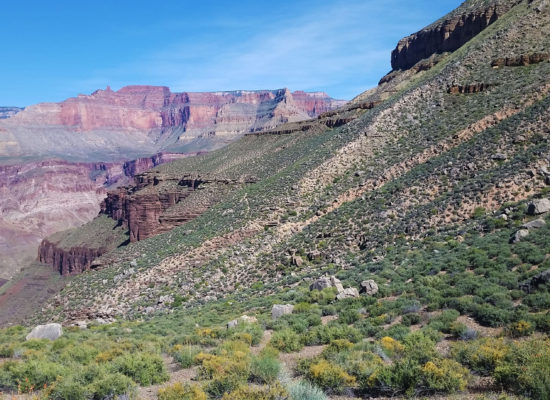
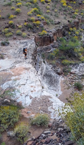
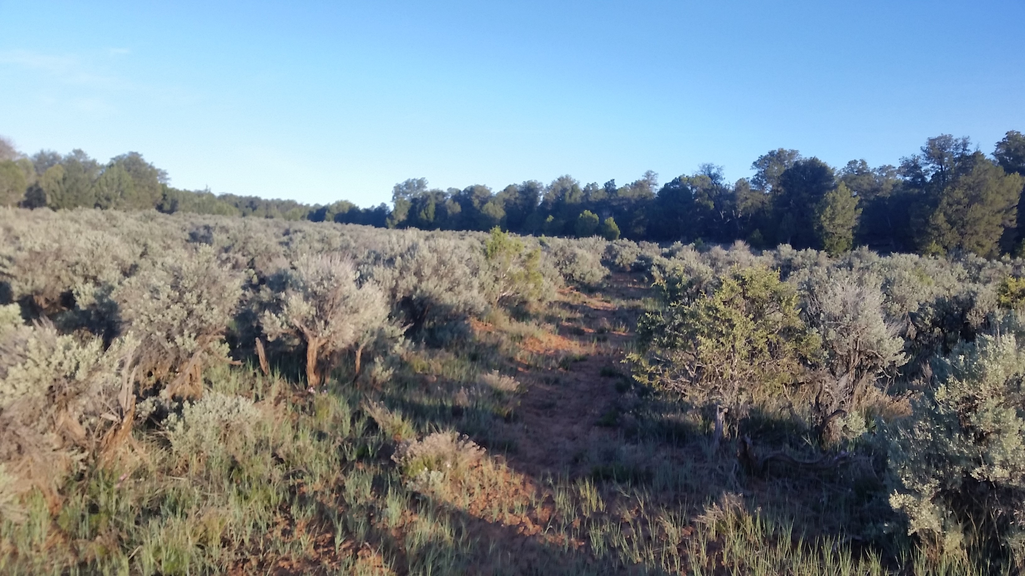
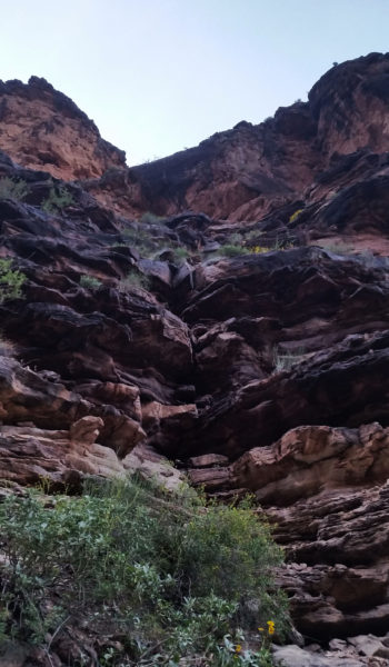
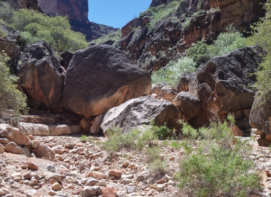
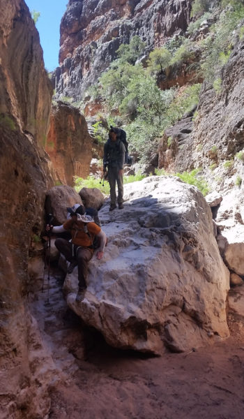
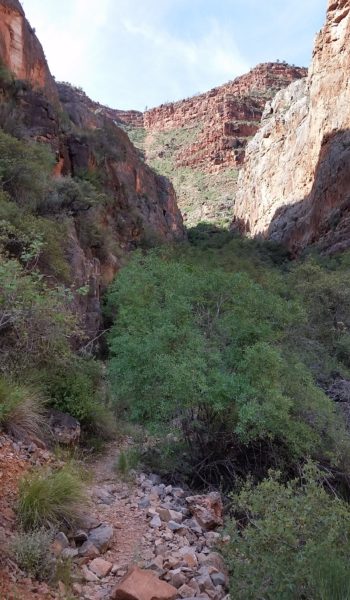
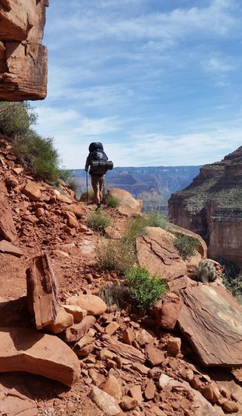
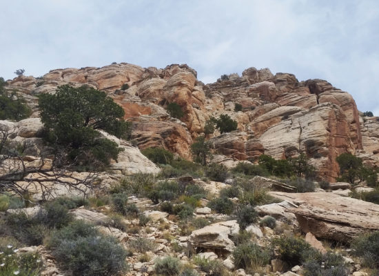
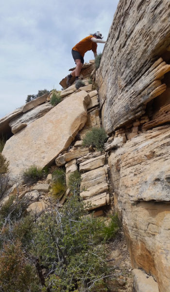
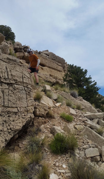
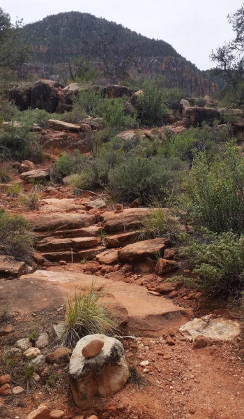
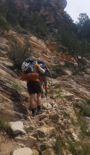
Suddenly a patch of trees popped up almost out of nowhere. This signified the hard push up the switchbacks through the bush towards the sundrenched Darwin’s Plateau. Once we pushed through the trees the baking sun was on full blast, and so was the grueling ascent to the plateau. Switchback after switchback we ascended, taking in the glorious expansive views as we did. Towards the top of the climb we found a nice large boulder to have a quick rest under and replenished our tired bodies. We ran into two other backpackers going in for an eight day trek hoping to get a ride to the other side of the canyon for some cave exploration. We wished them luck and were soon strapping our bags back on and headed up.
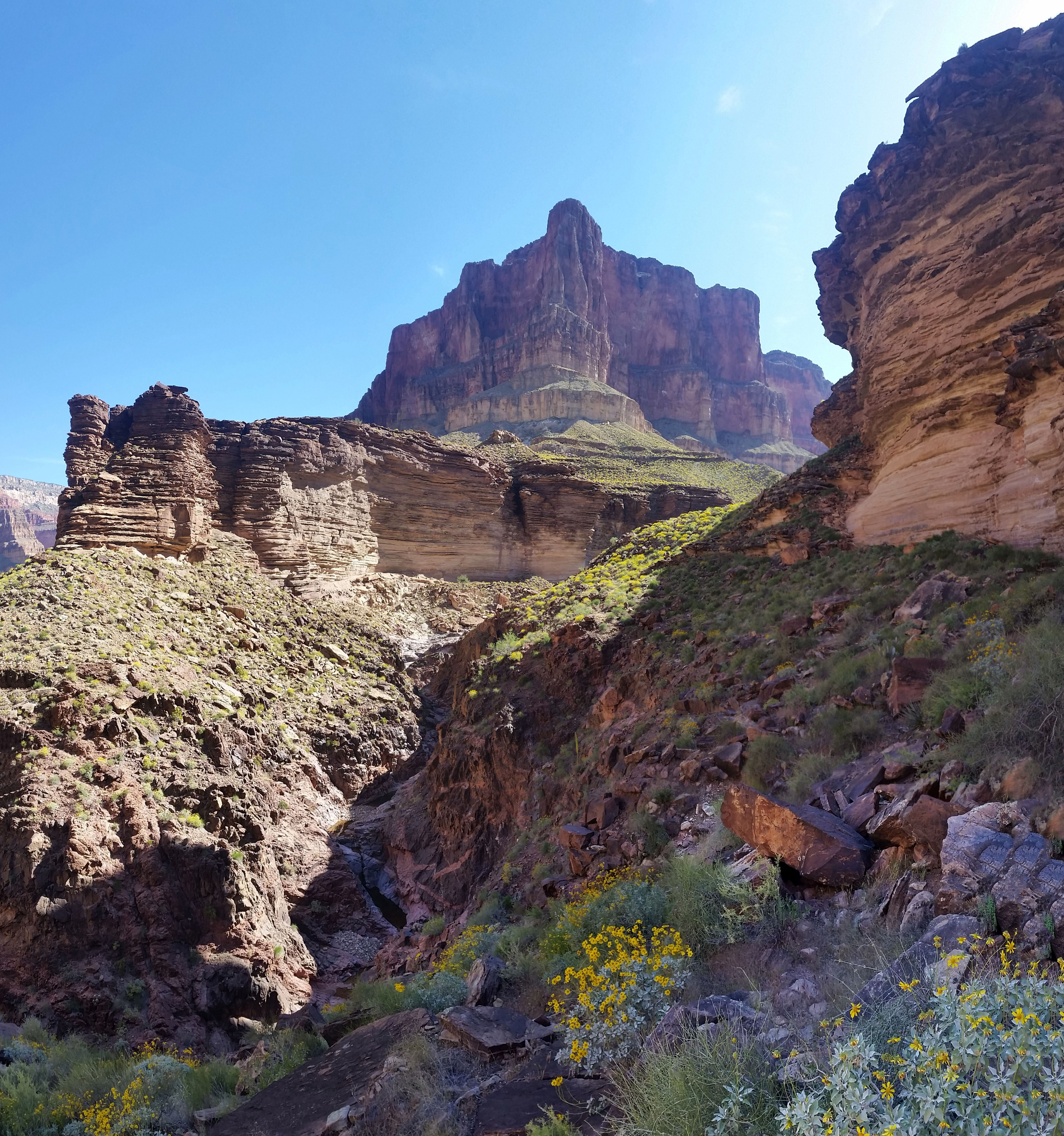
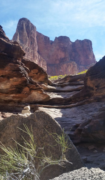
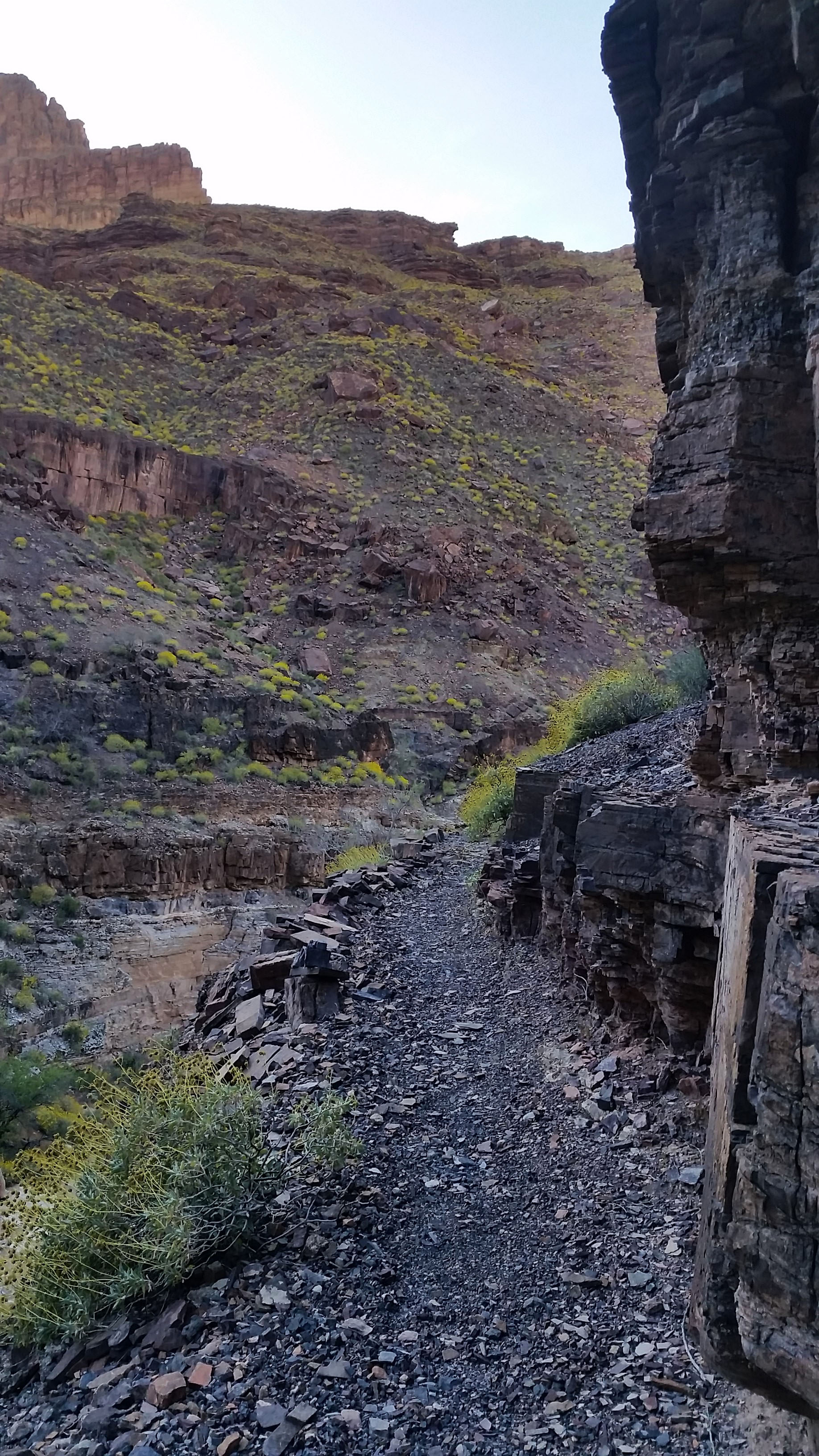
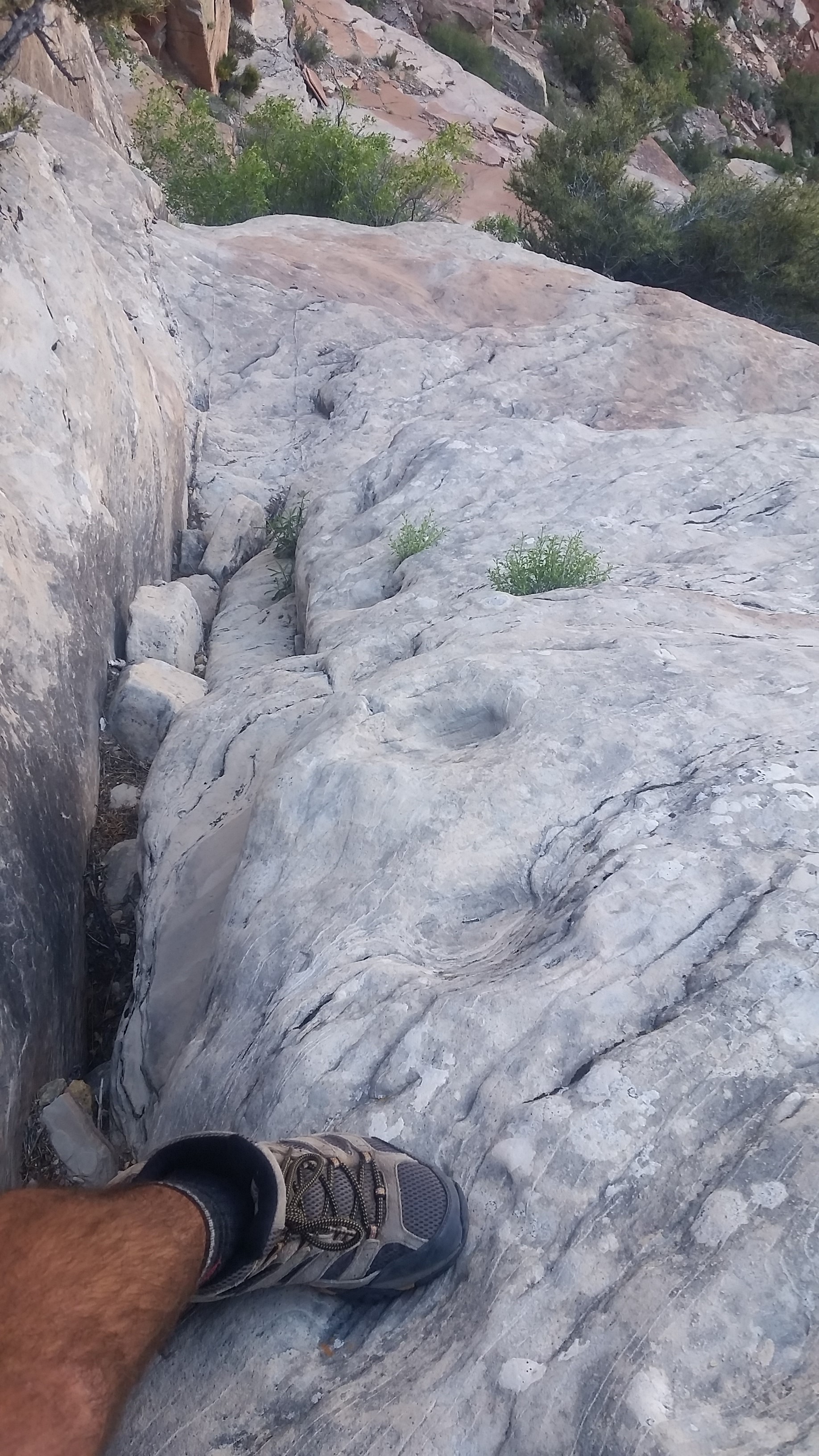
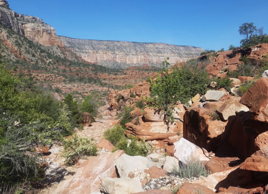
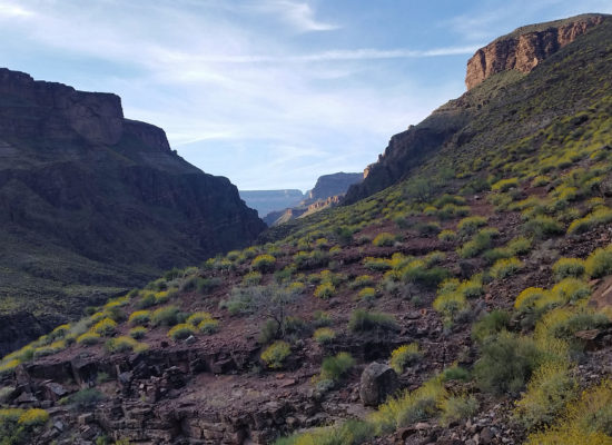
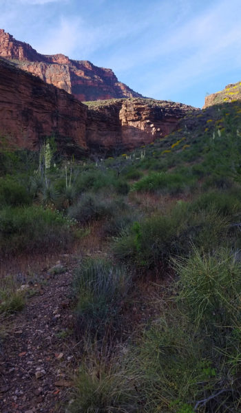
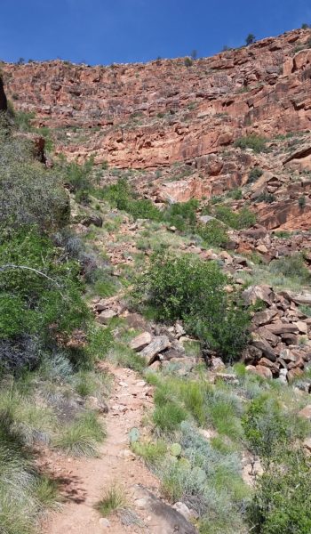
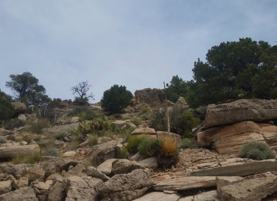
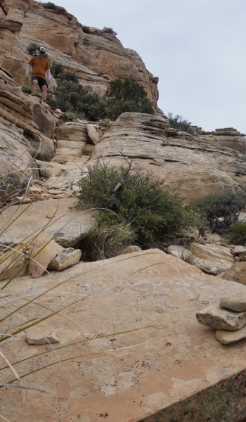
 Girnding up the Bass Canyon
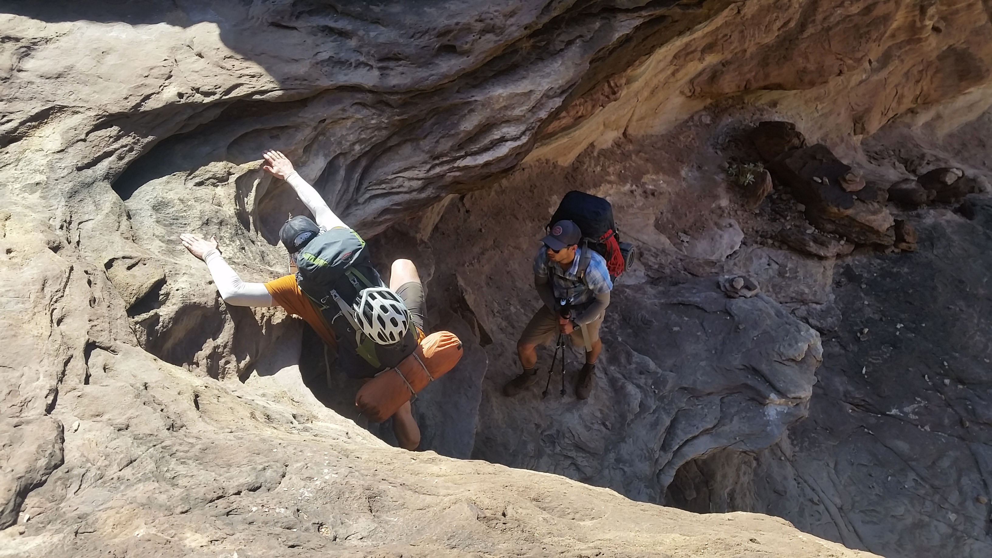
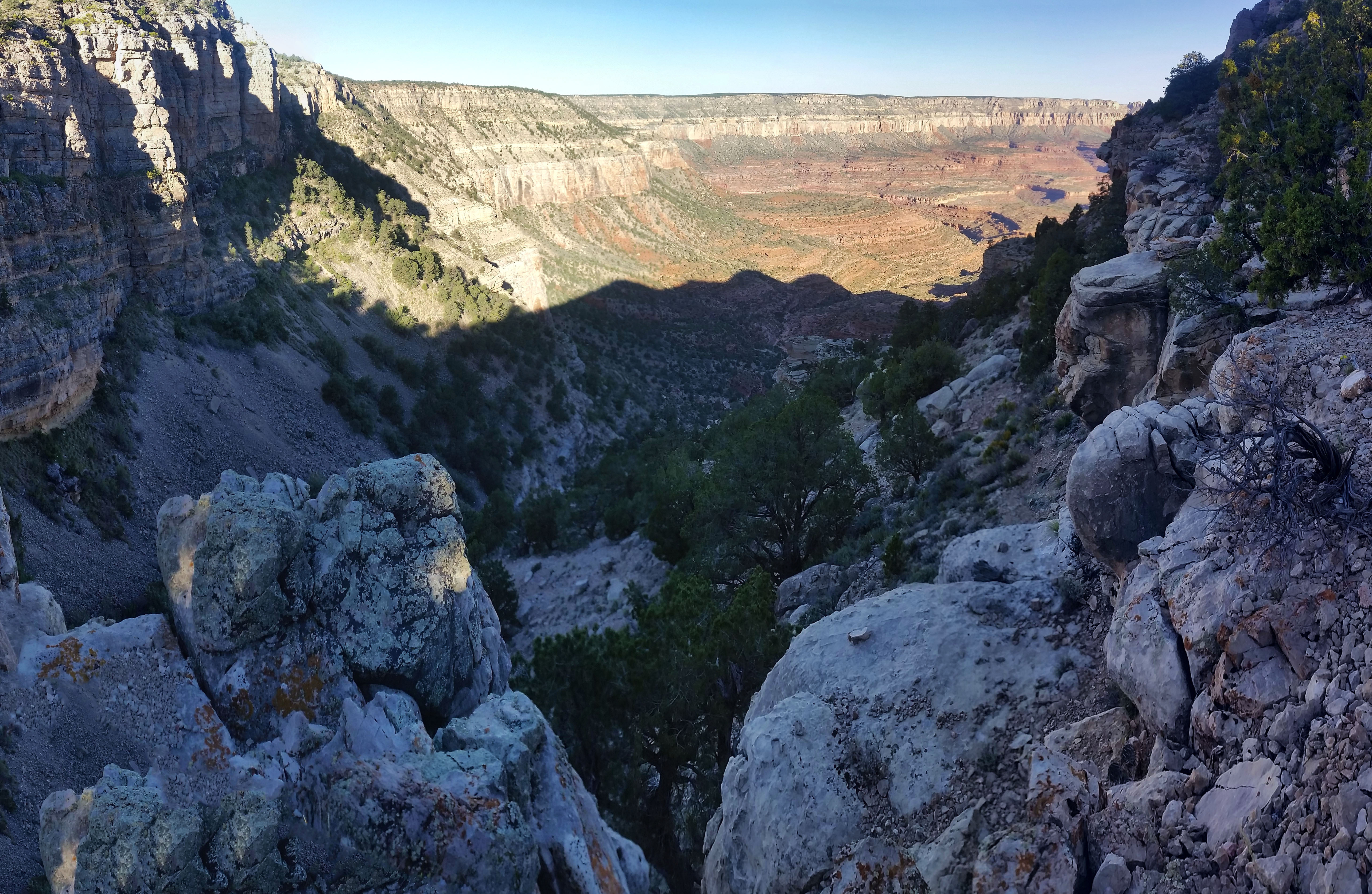
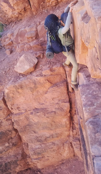
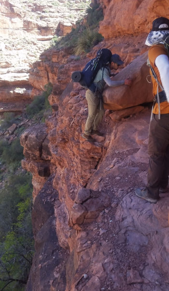
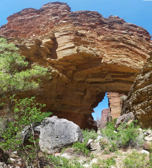
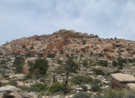
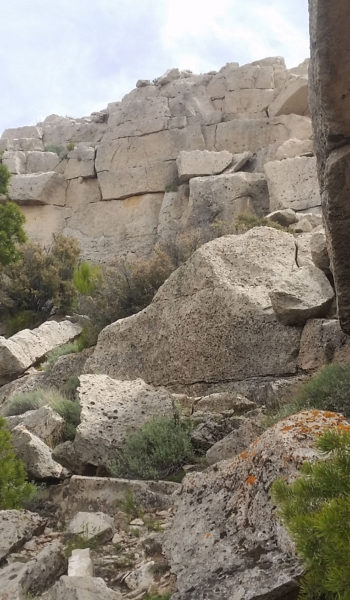
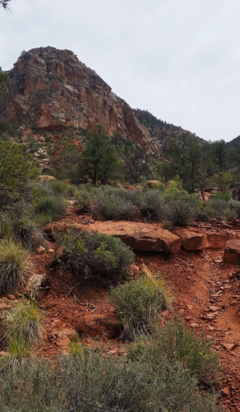
Finally after a good long push, we reached the plateau and were faced with the intimidating massive beast that was Mount Huethewali. It stood far above the plateau, looking as though there were only a few class 3 lines that would go. Sam was pretty worked and decided to stay behind as Mark and myself made the push for the peak. We dropped everything except one pack with some water and let out up the steep sandstone slopes. We trekked up quickly and found a few sparse cairns. We picked our way through as we went, every time the route looked as though it were to end, we found another cairn hiding around a corner. Before we knew it we were standing atop the huge mountain whooping and hollering and taking in the 360 incredible views!
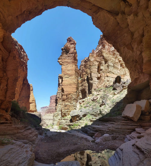
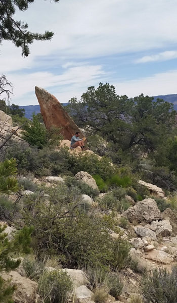
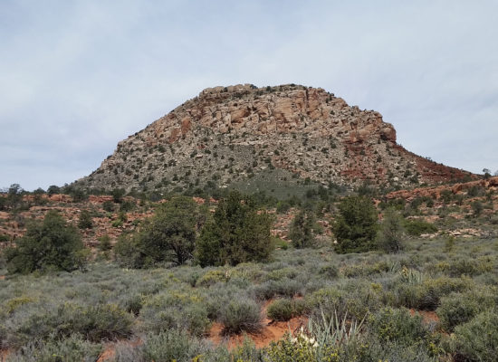 There she is, Mount Huethawali!
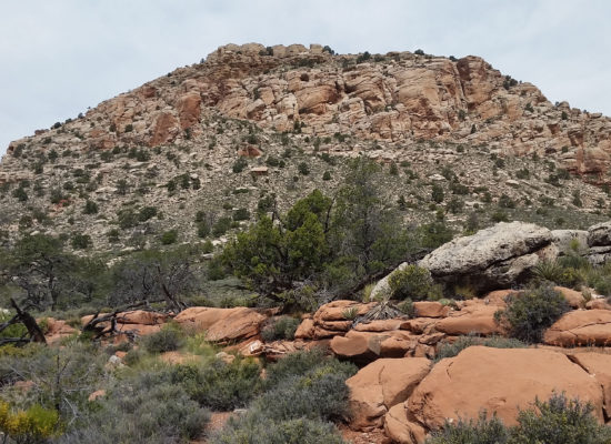
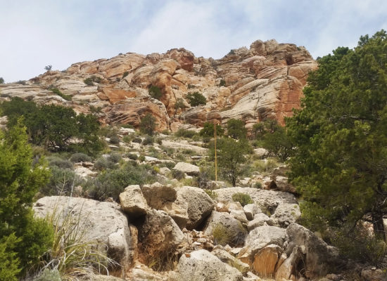
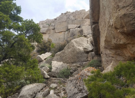
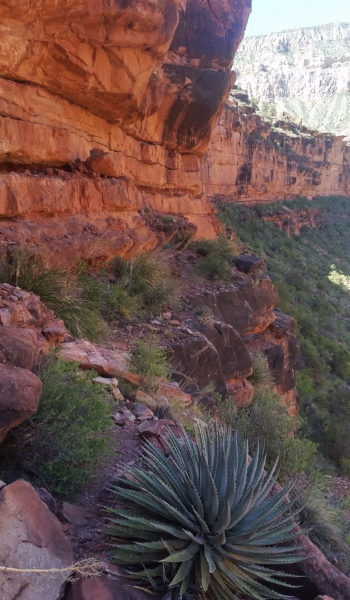
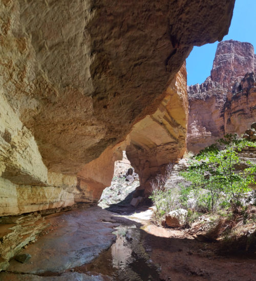
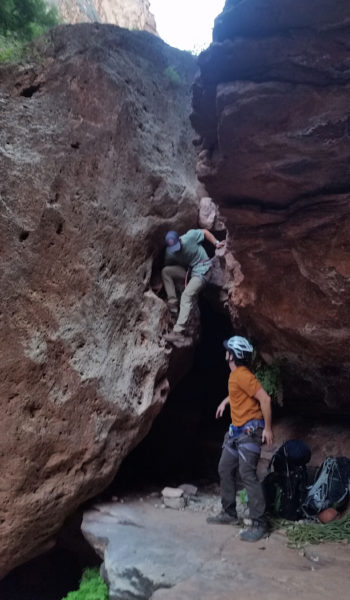
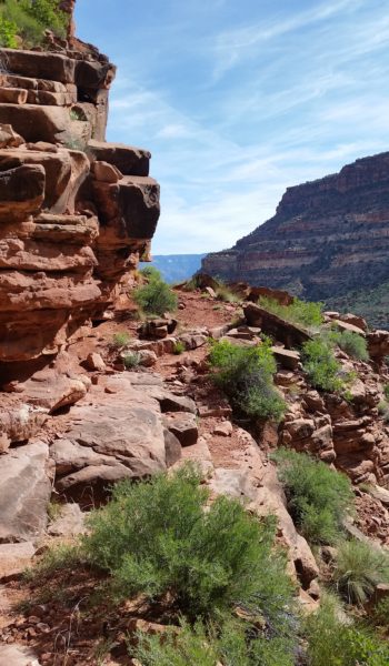
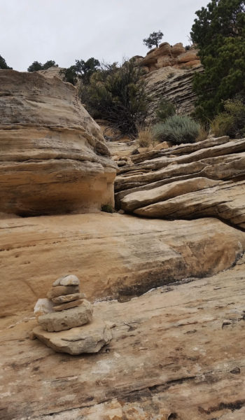 Cairned route
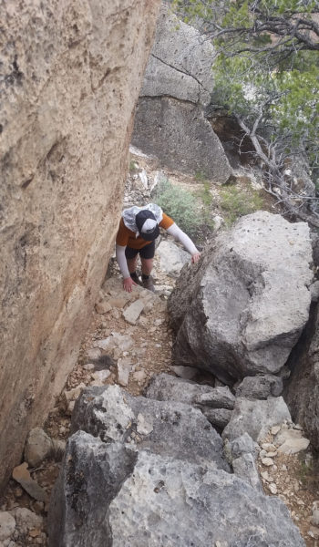
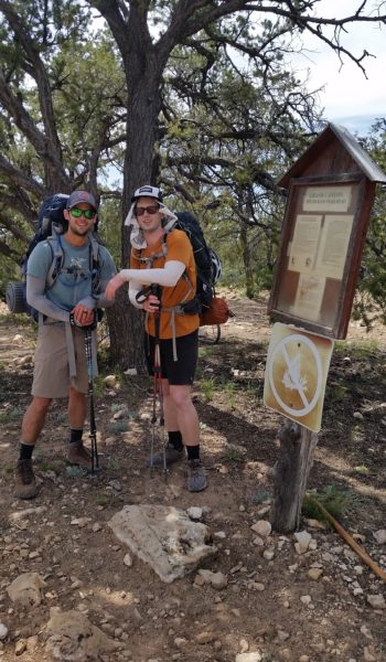
After claiming the peak, we headed back down, grabbed Sam along the way and slowly trekked our way up the remaining switchbacks to the rim of the canyon. Everyone was smiles and we stopped at the trailhead for pictures and a quick snack of whatever we had left in our packs before heading back the 3.5 mile walk on a dirt road to the car.
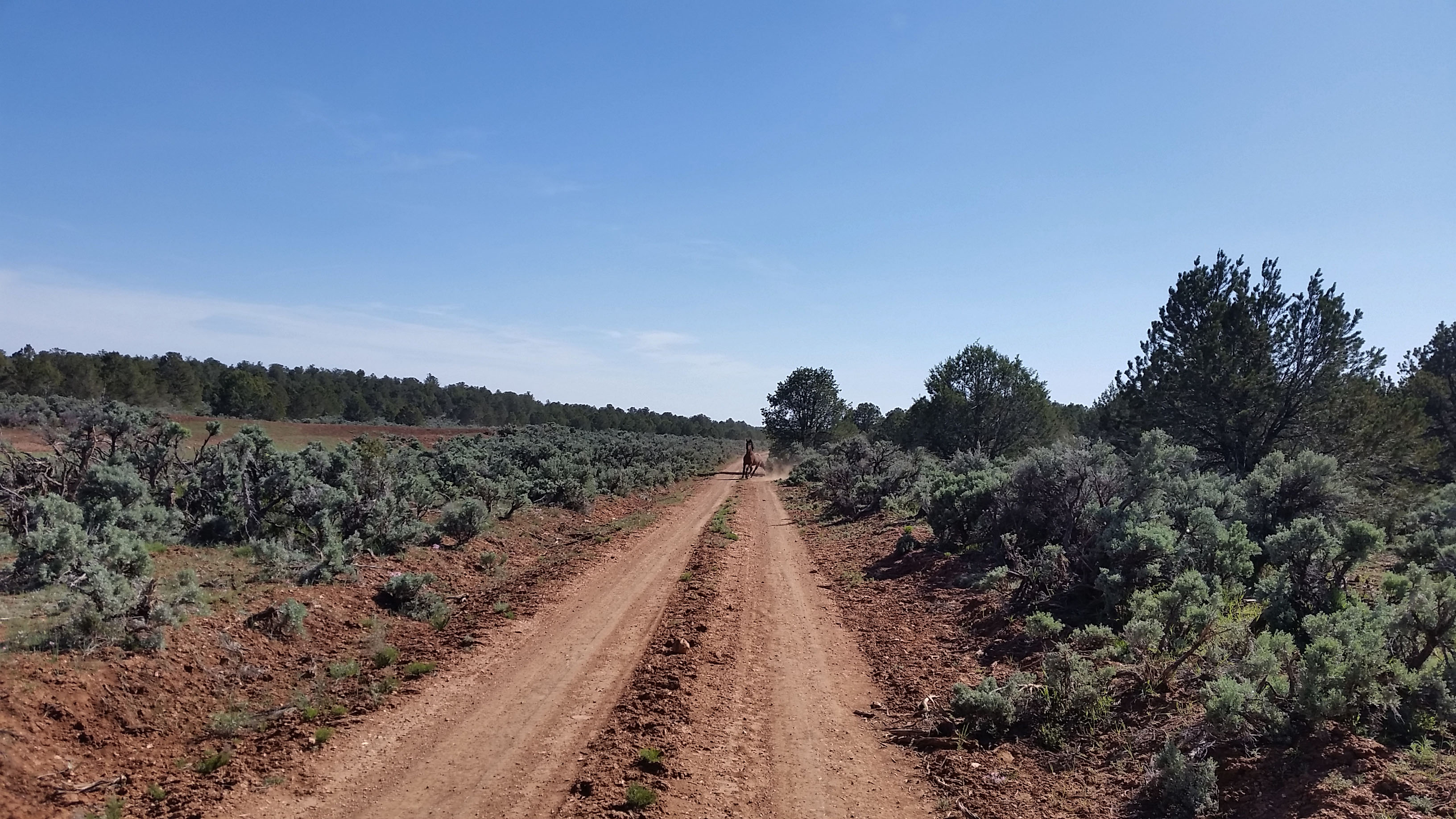
Just before reaching our truck a wild stallion quickly crossed the road. In the distance, his mare and foal were in the field across the road. He noticed us walking and neighed back to his family who quickly trotted away from us. The stallion came blistering back to the road, looked straight at us, and took a few steps towards us as if he were going to charge. Then stopped, turned, and hauled butt towards his family. Whewwww, what an awesome finish to another crazy trek in the canyon! We soon found our way back to the truck, piled in, and drove home.
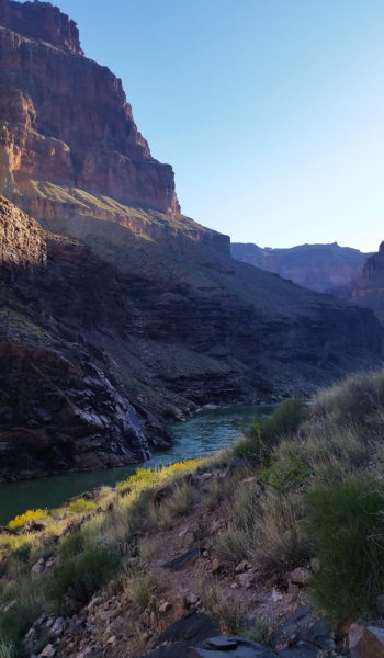
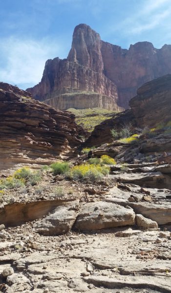
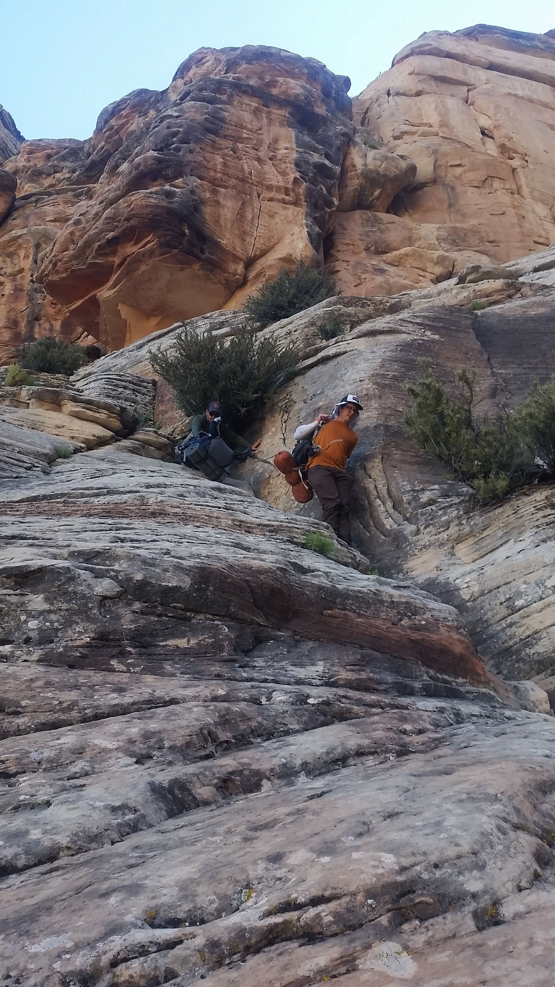
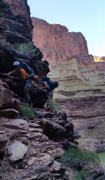
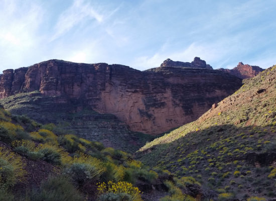
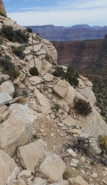
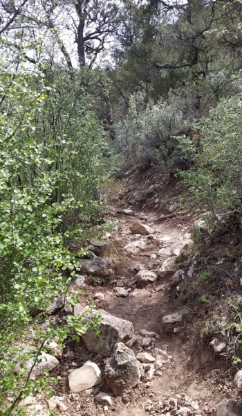
 Lets get moving up the final push!
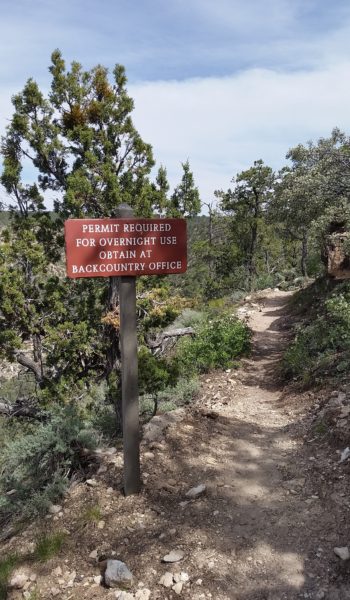
HIKE INFO:
- GPX Track: Full loop – https://hikearizona.com/map.php?GPS=36525
-
Route Description:Royal Arch Route Loop – https://hikearizona.com/decoder.php?ZTN=813Arch Rival: Article – http://www.regionalmagazines.org/downloads/competition/AHM-2012-ctgy05-Trav-Fea.pdf
HIKE STATS:
- Weather: Hi in mid 90s, Low in upper 40s, Sunny
- Water: 6 Liters (including dinner)
- Food: 1 Power Bar, 1 Kroger Protien bars, 1 Cliff Protien Bars, 1 granola bar, 1/2 bag of gummyworms, Apple, 1 Mountain House: Chicken and Mashed Potatoes, 1/2 bag of Salt and Veinagr Chips, 1/2 bag of Pizza Pringles, 1/2 bag of trailmix, 1/2 bag Boston baked beans, 1 PB&J sandwich, 1/2 bag of Quinoa.
- Time: 8 hours
- Distance: 13 miles
- Accumulated Gain: ~4354 accumulated
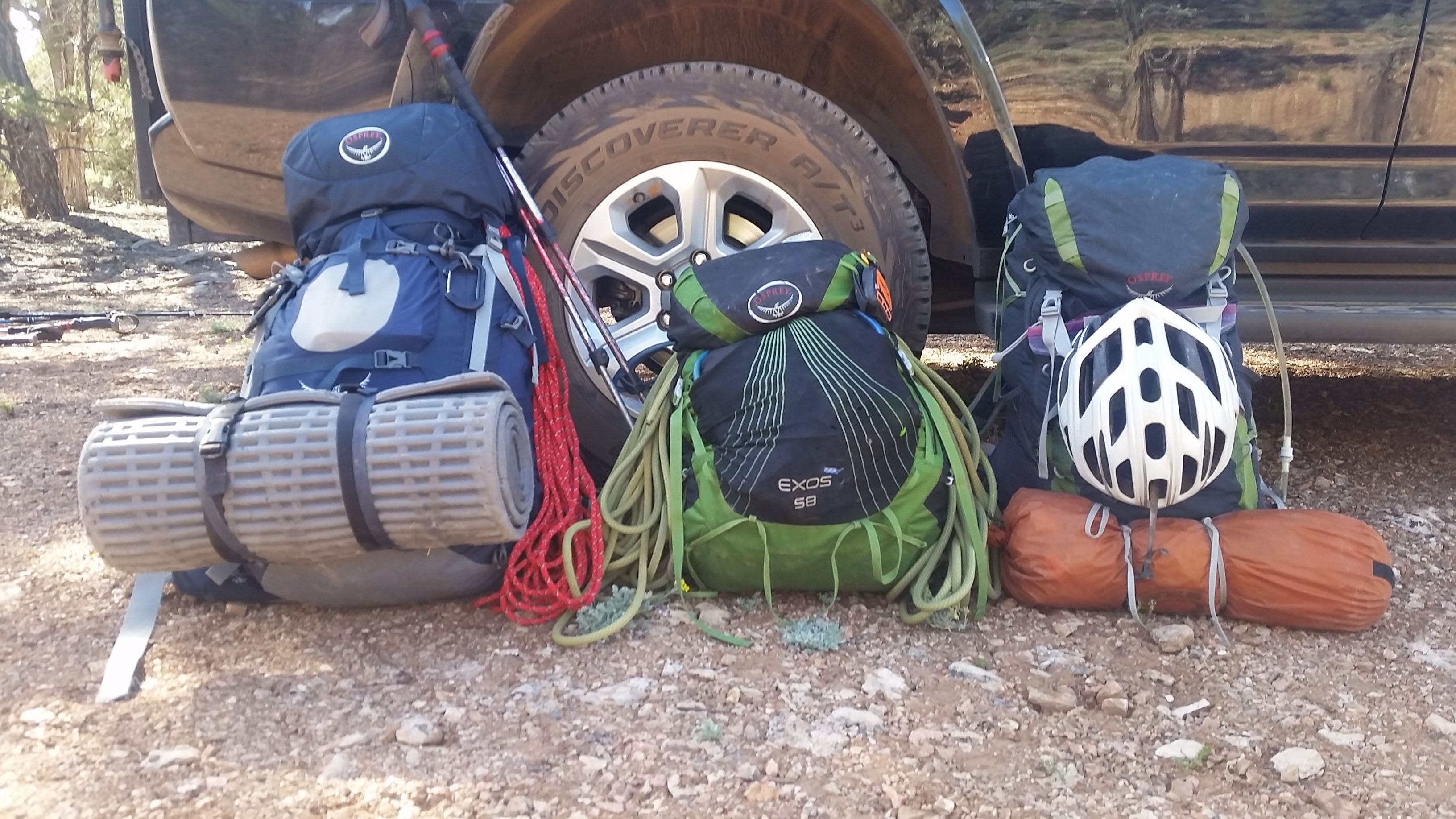
GEAR:
- 58 liter exos osprey backpack
- Big Agnes Copper Spur UL2 tent
- Big Agnes QCORE SLX sleeping pad
- Cosmic Down Kelty Sleeping Bag (rated to 20 deg F)
- Jet Boil – Sol
- Black Diamond trekking poles
- SPOT Gen3 Tracker
- Sawyer Squeeze – Water Filter
- Black Diamond Helmet
- Petzl Corax Climbing Harness
- 2 Black Diamond screw carabiner
- 4 Phantom DMM screw carabiner
- Black Diaimond ATC Guide
- 60 meter 9.8mm Mammut rope
- Webbing, personal anchor
- 200 ft 6mm pull cord
- 4 rap rings
CLOTHING:
- Wool T shirt – IceBreaker
- Cotton hankerchief
- Pearl Azumi arm coolers
- Arc’teryx hoody
- Nike running shorts
- Merrell Mid Moab Hiking Boots
- Darn Tough wool medium weight socks
- Threadless hoody