

We woke to birds chirping in the trees as twilight gleamed its first light. We started up the morning ritual, of making breakfast and packing up. The pink sky watched over our labor and as we finished putting away the last piece of gear, the ridgeline to the west lit up in a golden orange lightshow.
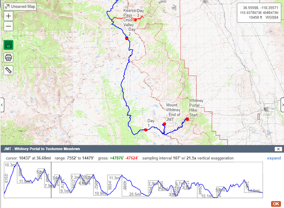
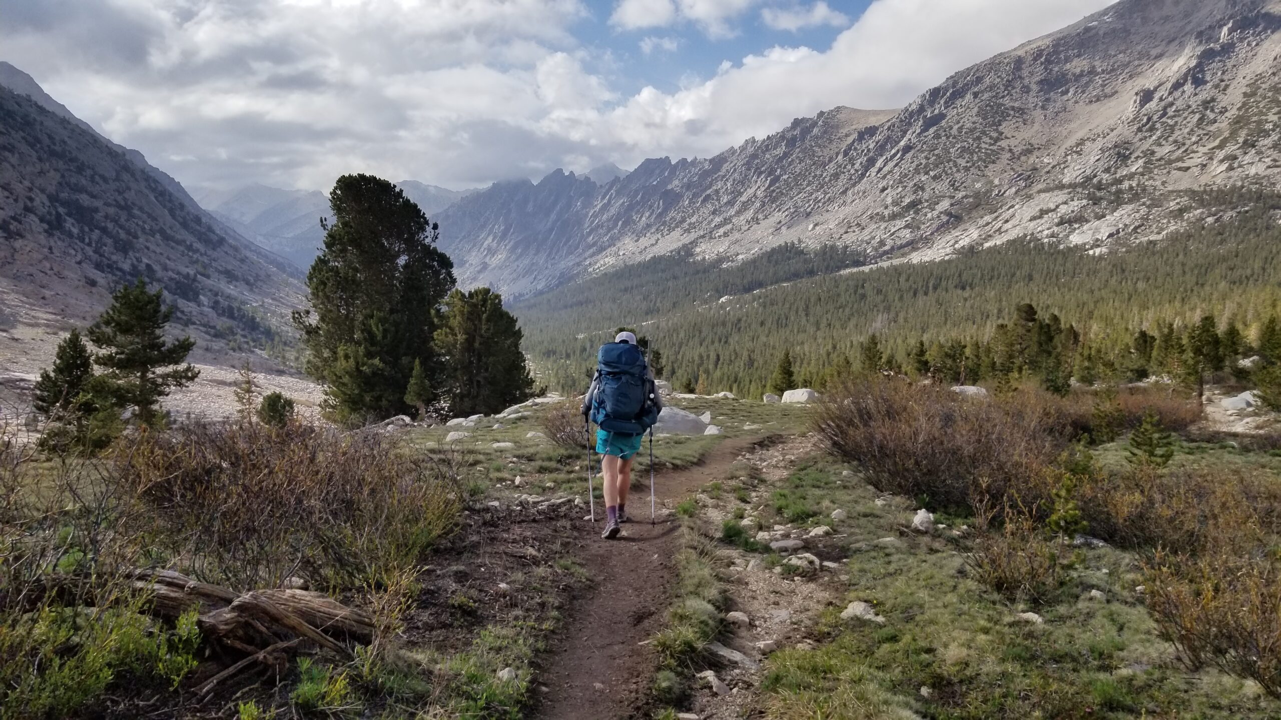
We led out from camp and gleefully headed down valley overlooking gurgling meadow streams where cutthroat trout played. The ridgelines towering above were as varied as the faces of the twisted trees we passed trailside.
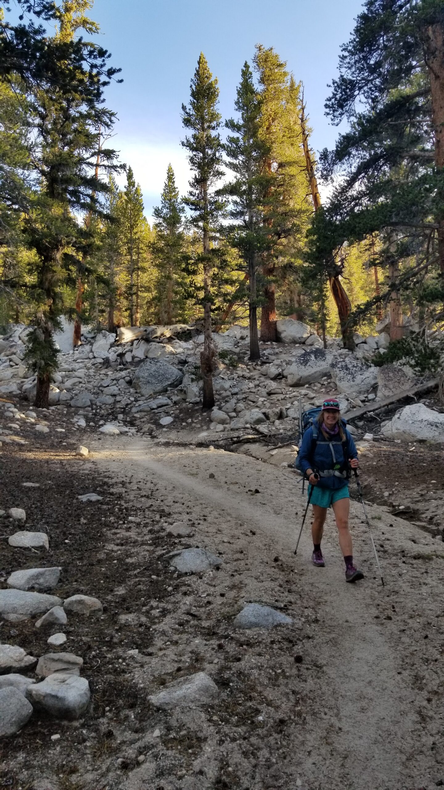
The Ranger Station soon came into view on the far side of a beautiful green meadow. A creek bubbled and gurgled in its belly and song birds accompanied its tune. The air was delightfully cool and the sun had just started to reach the valley bottom as we passed by. Soon we turned north where the JMT and PCT meet and we rolled with the rising and falling of its hills as we went.
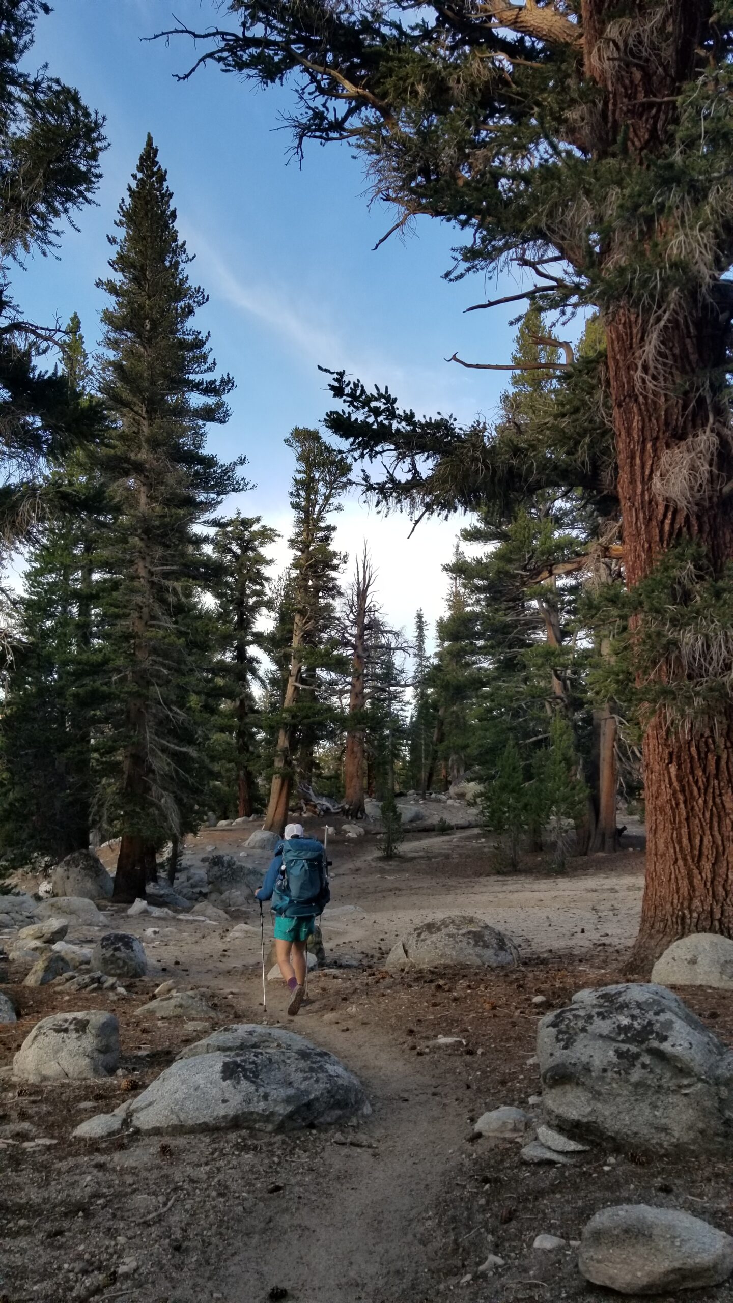
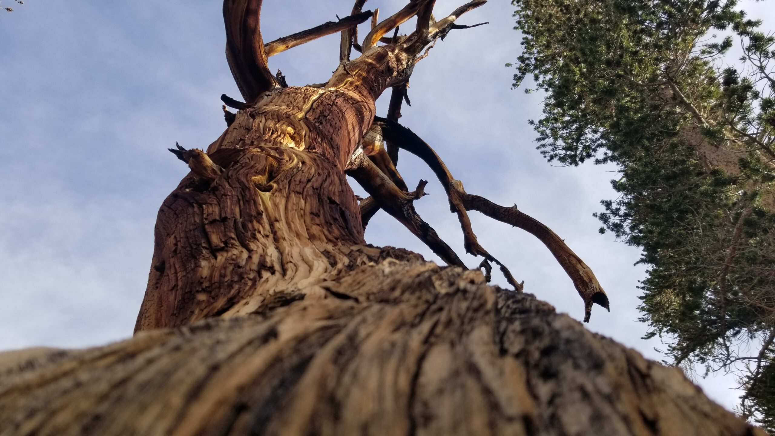
It was interesting to observe the felled trees across the hillside. Thinking about their lifecycles: downed dead trees with branches twisted and broken, thrust from the tree’s body as they fell; to baby trees growing next to their parents, guarded and well fed.
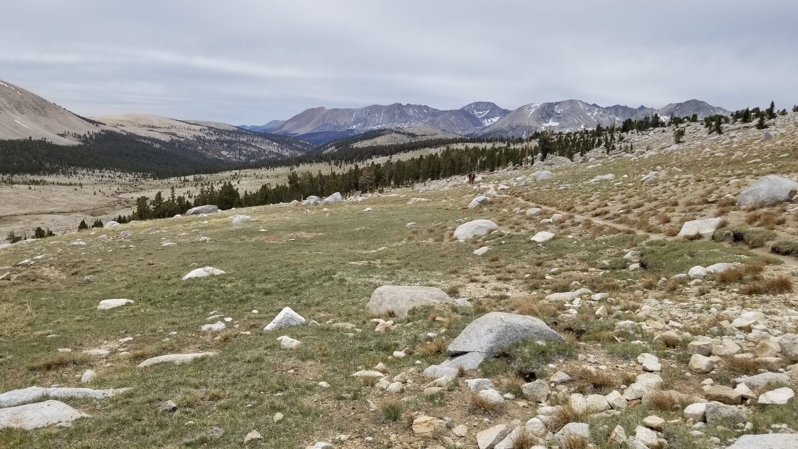
The skies had become overcast and grey as the morning pressed on, yet as we we gained a saddle a window of bluebird sky glimmered some hope in the distance. The landscape was a granite boulder field and the trail was a dirty grey, like ground up granite with a flash of dirt, sprinkled with pinecones and bordered by boulders. As we descended towards Wallace Creek we heard a grouse call, a repeated low wooshing like someone swinging an enormous fan through the air. We finally reached the creek, filtered some water and took a moment to try and clean our dirty socks.
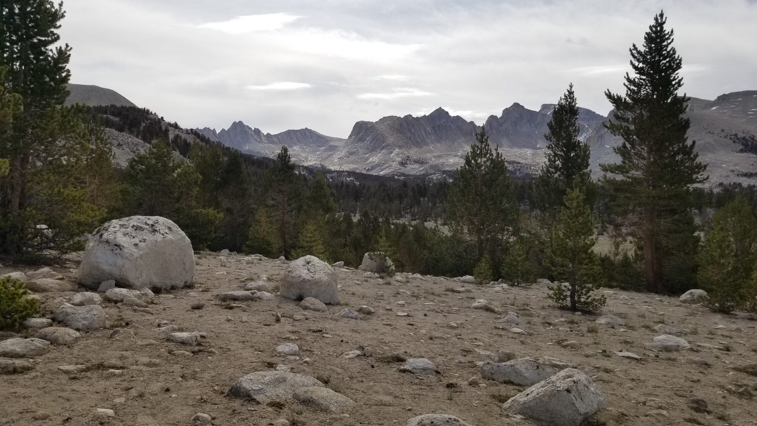
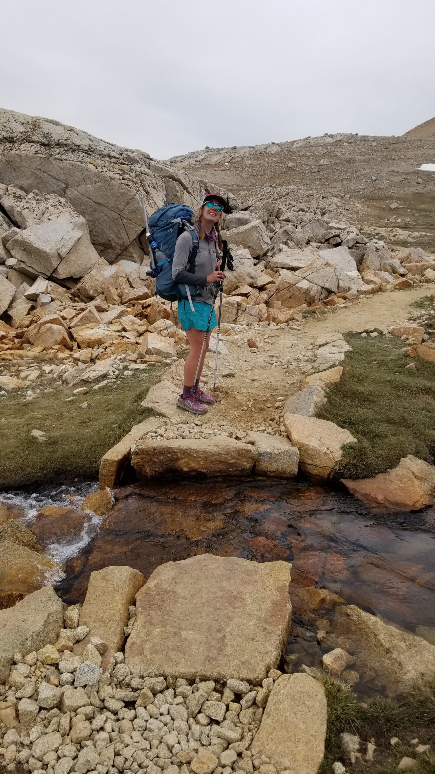
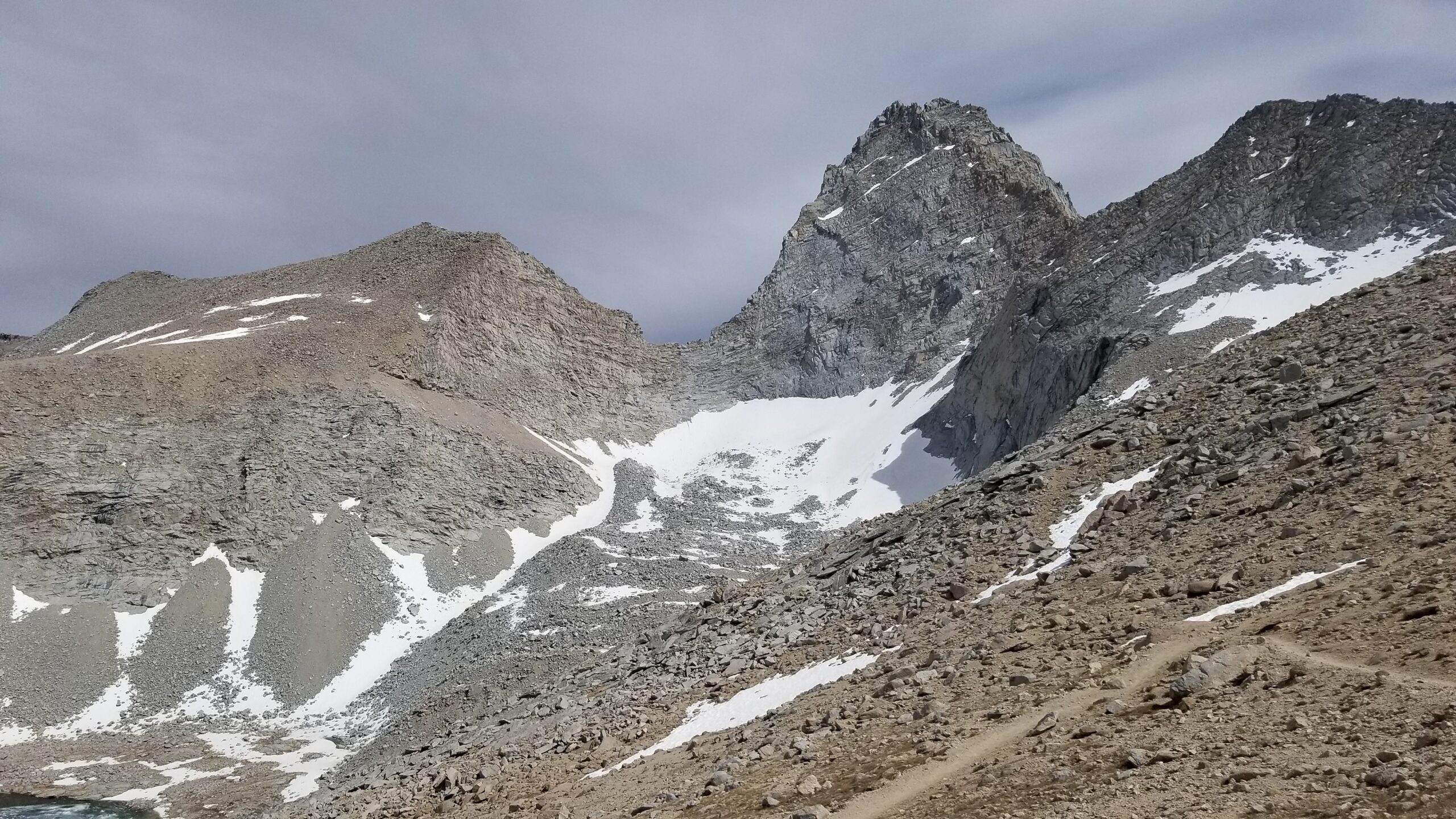
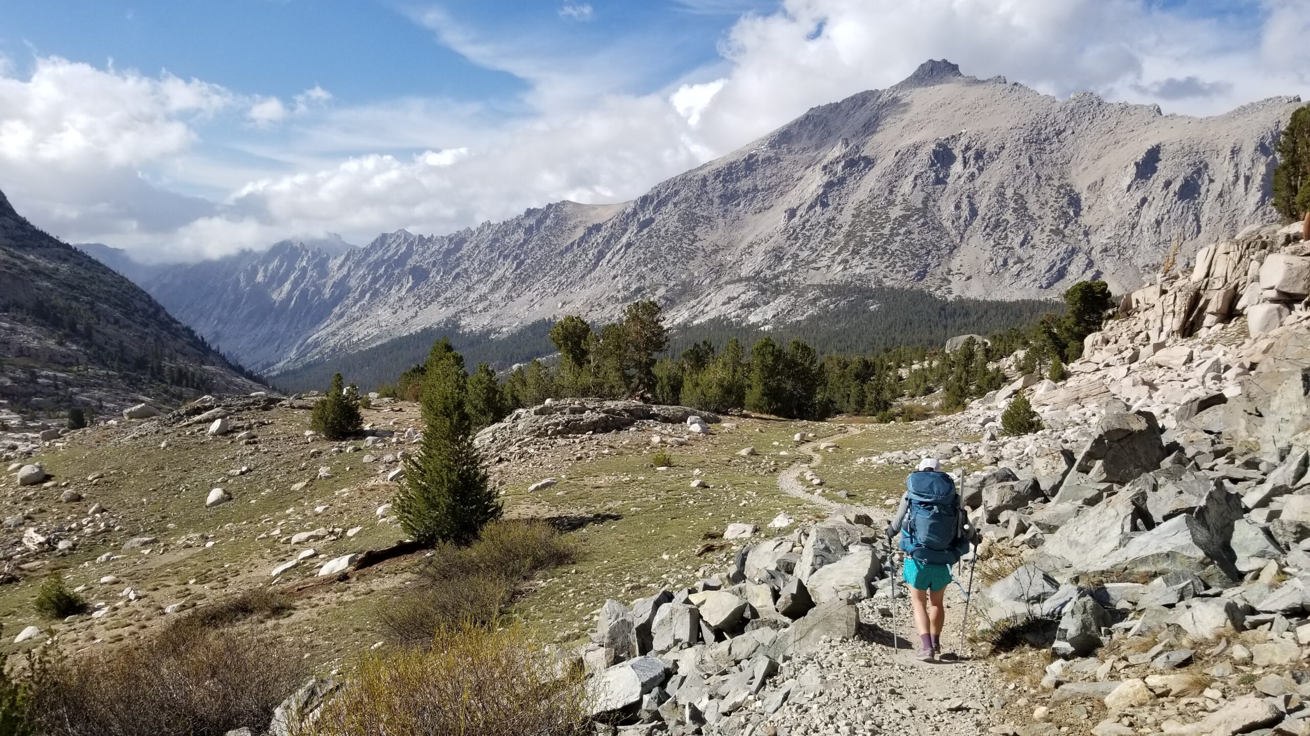
After the creek crossing, we started a long steady climb, and at the top were rewarded with incredible vistas of a jagged ridgeline in the distance. We vowed to look up its name later, as if to get to know it better. We soon found the valley floor and the beautiful crossing of Wright Creek.
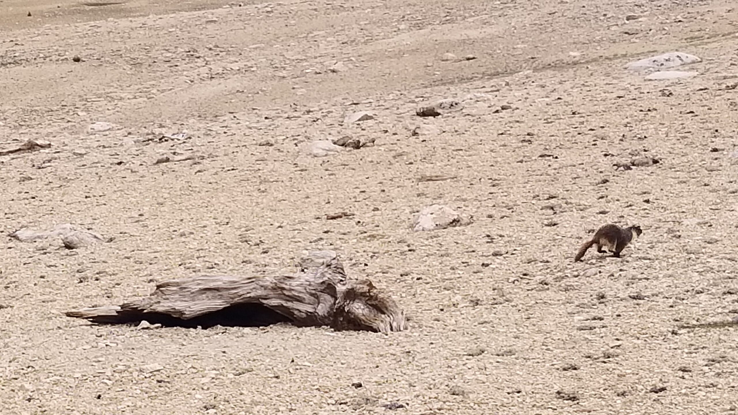
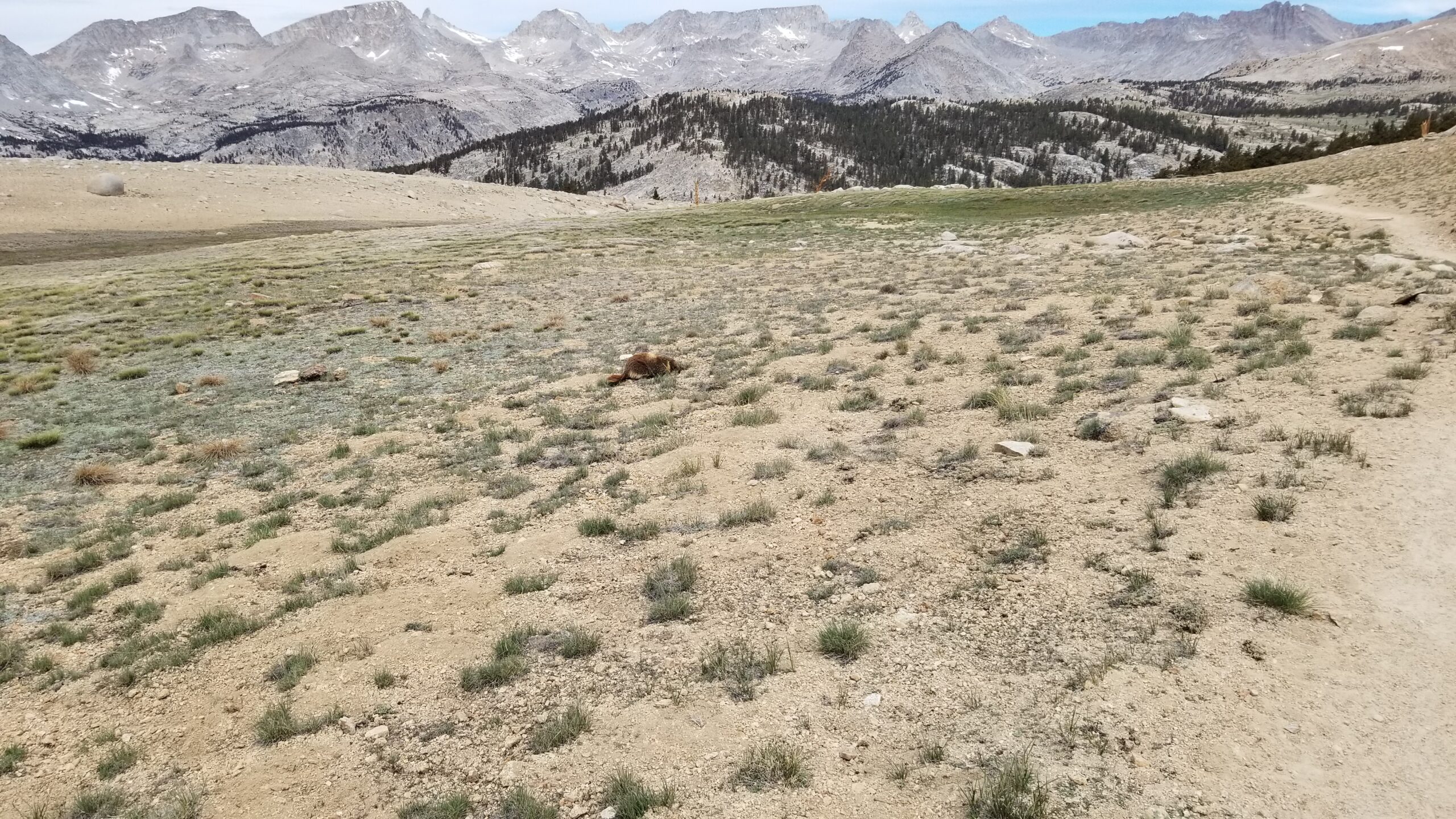
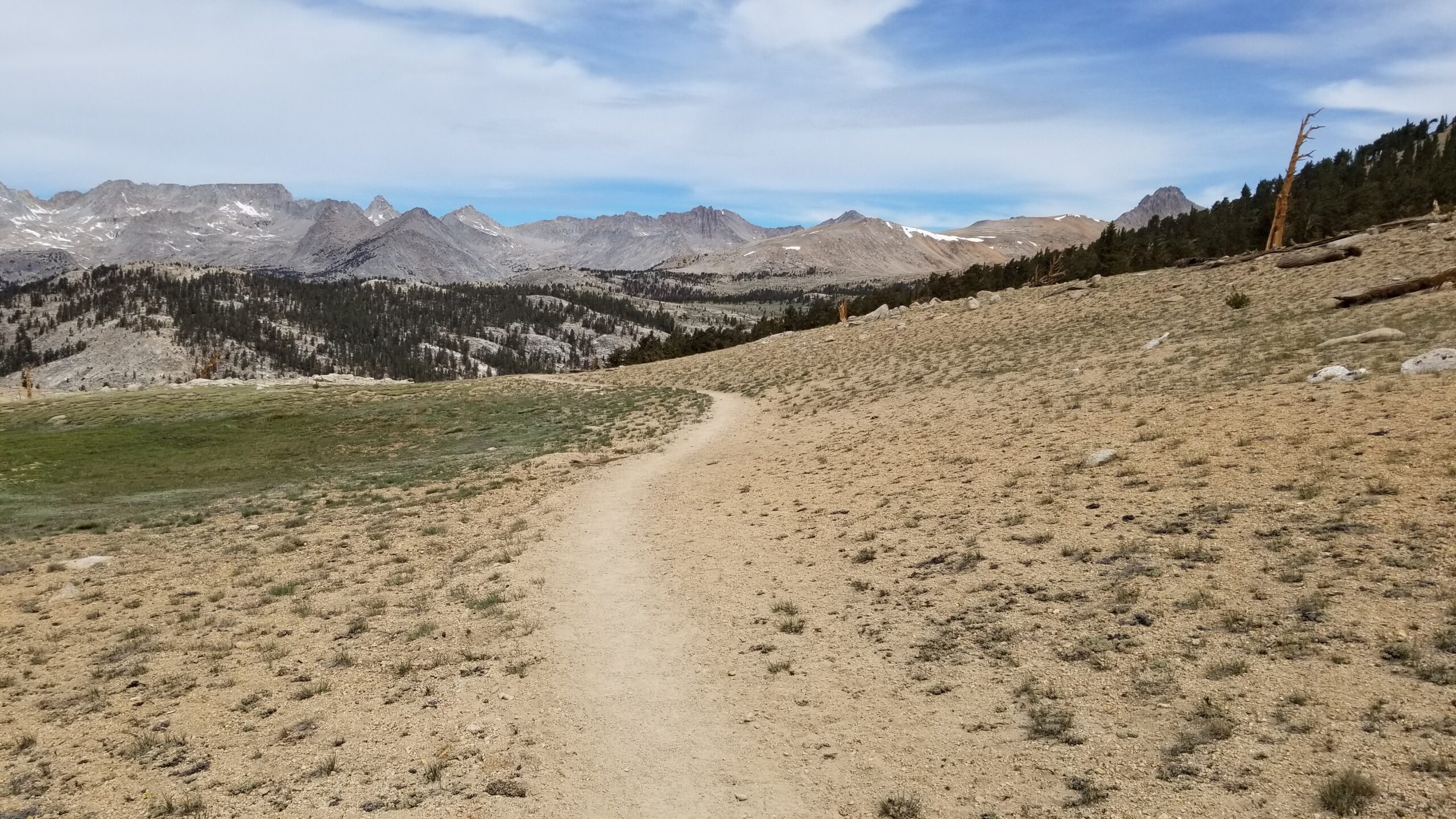
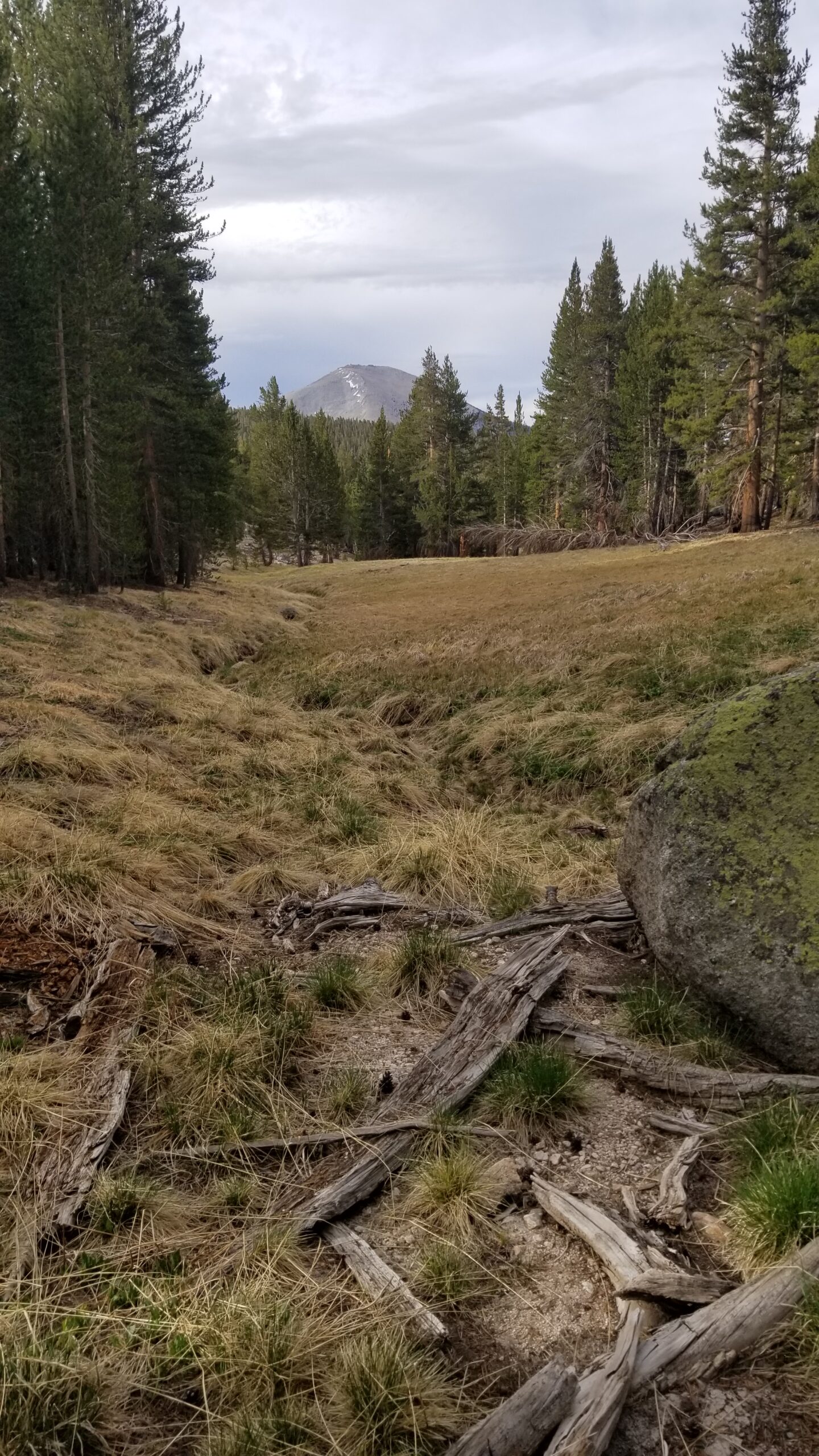
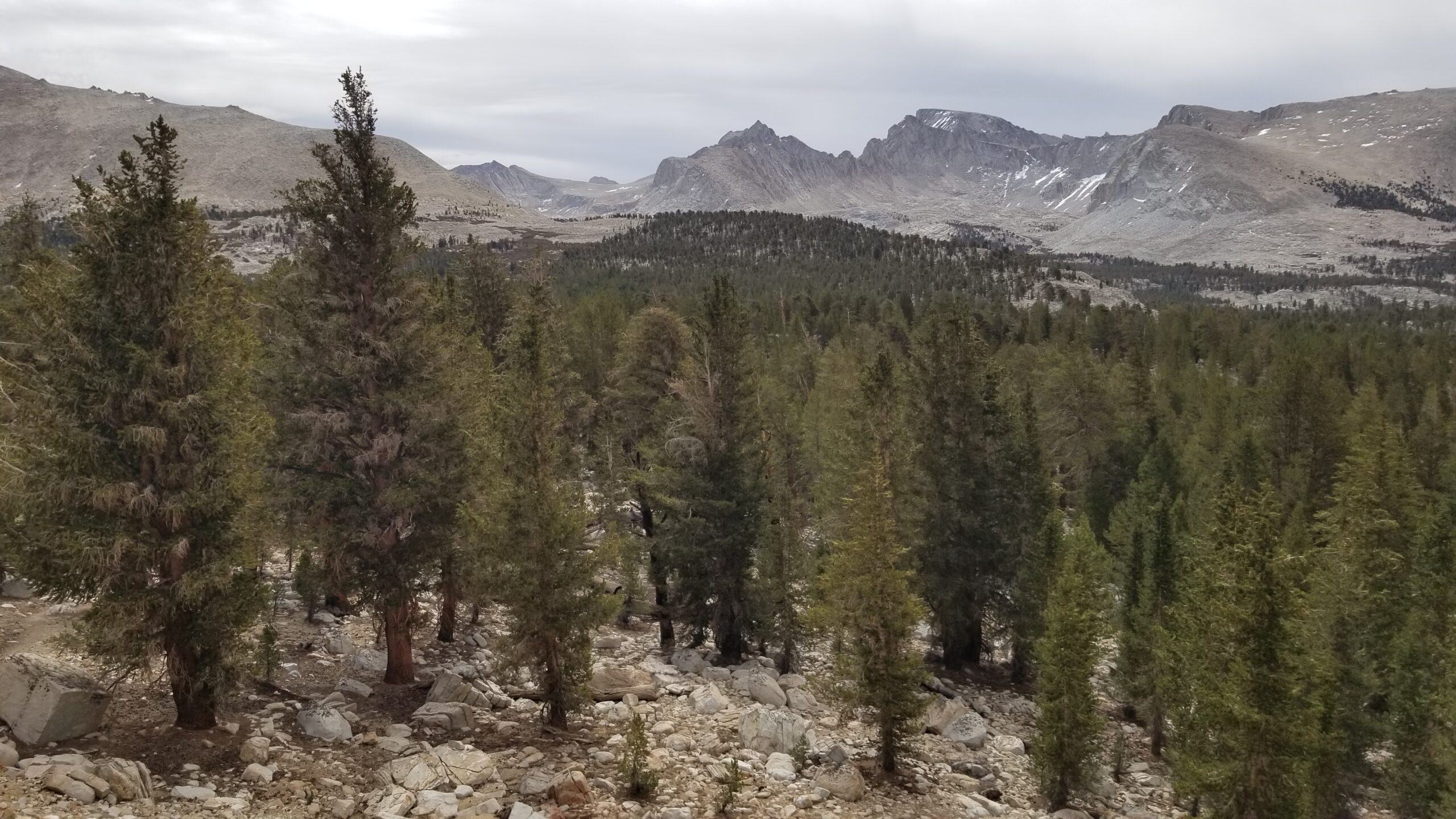
We struck out on another long climb, and we watched as trees slowly started to fade out below until finally finding ourselves on Bighorn Plateau. We kept our eyes peeled for bighorn sheep, but we found only expectant marmots waiting for a feed from a careless traveler. Vistas were abound, Mount Whitney to the southeast, Barnard to the East, Mt Williamson and Tyndall to the northeast, the Kern Ridge to the west and Kings Kern Divide to the north. Moments like this are why we started the trail in the first place, absolutely breathtaking!
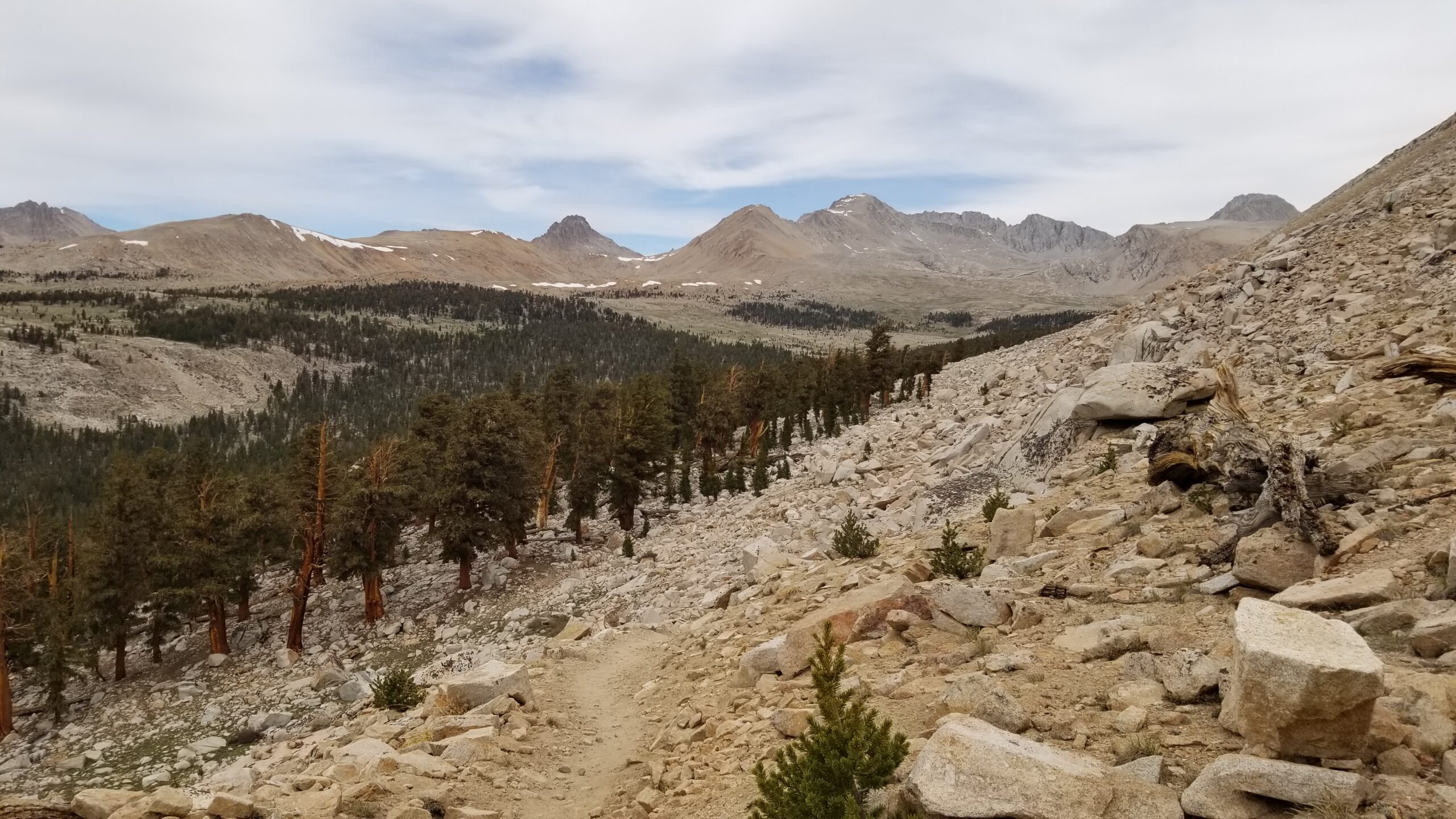
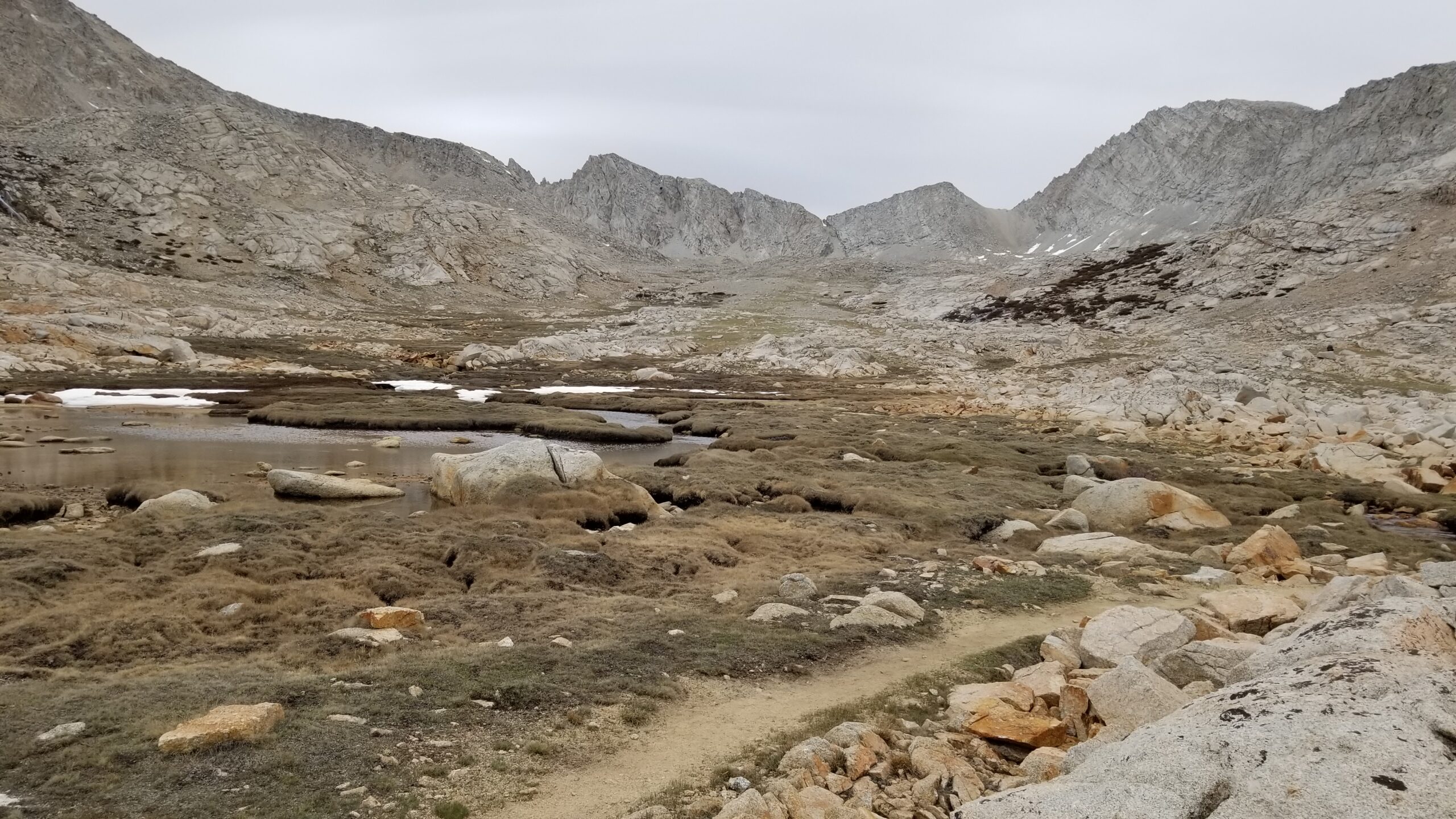
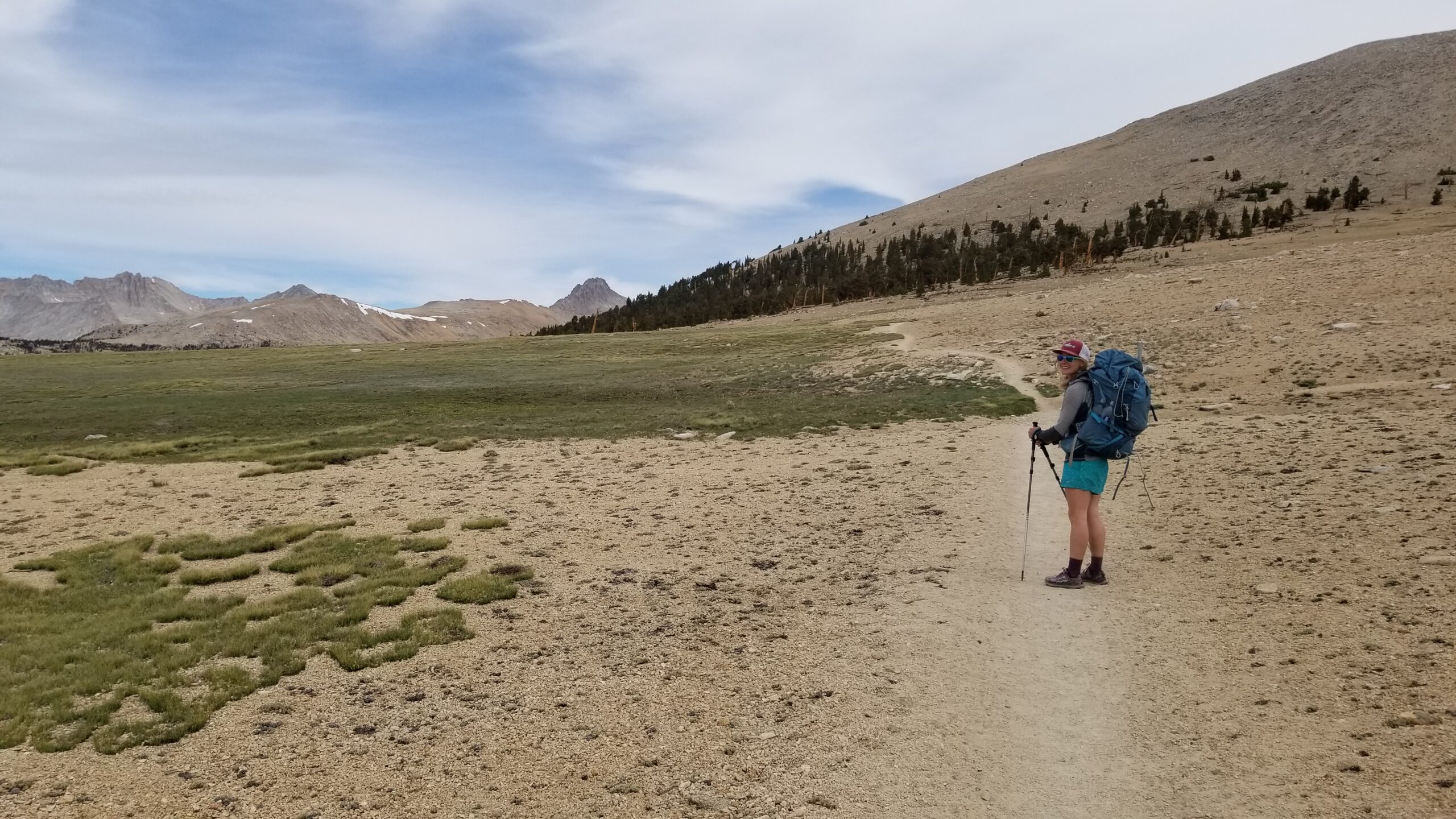
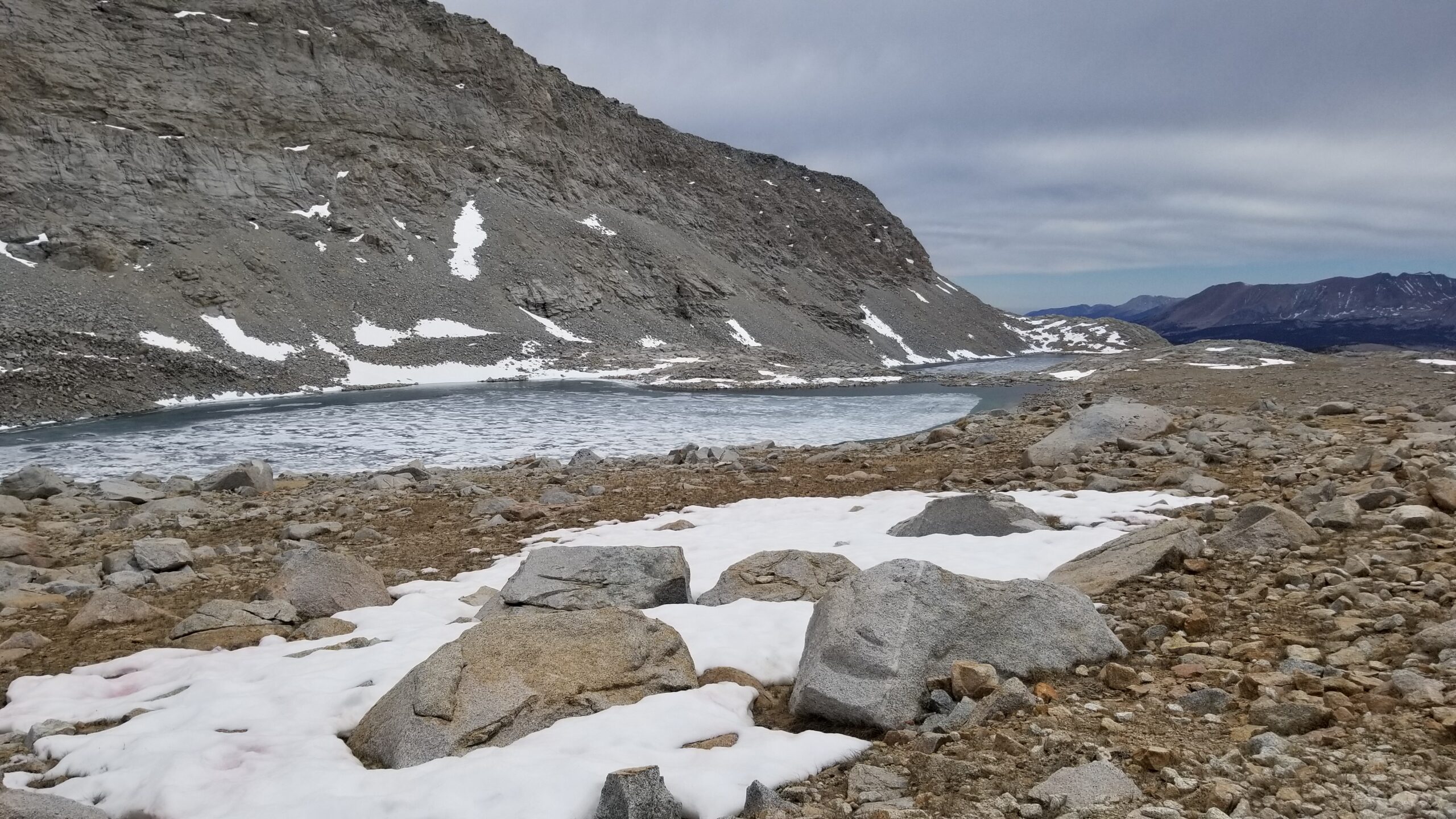
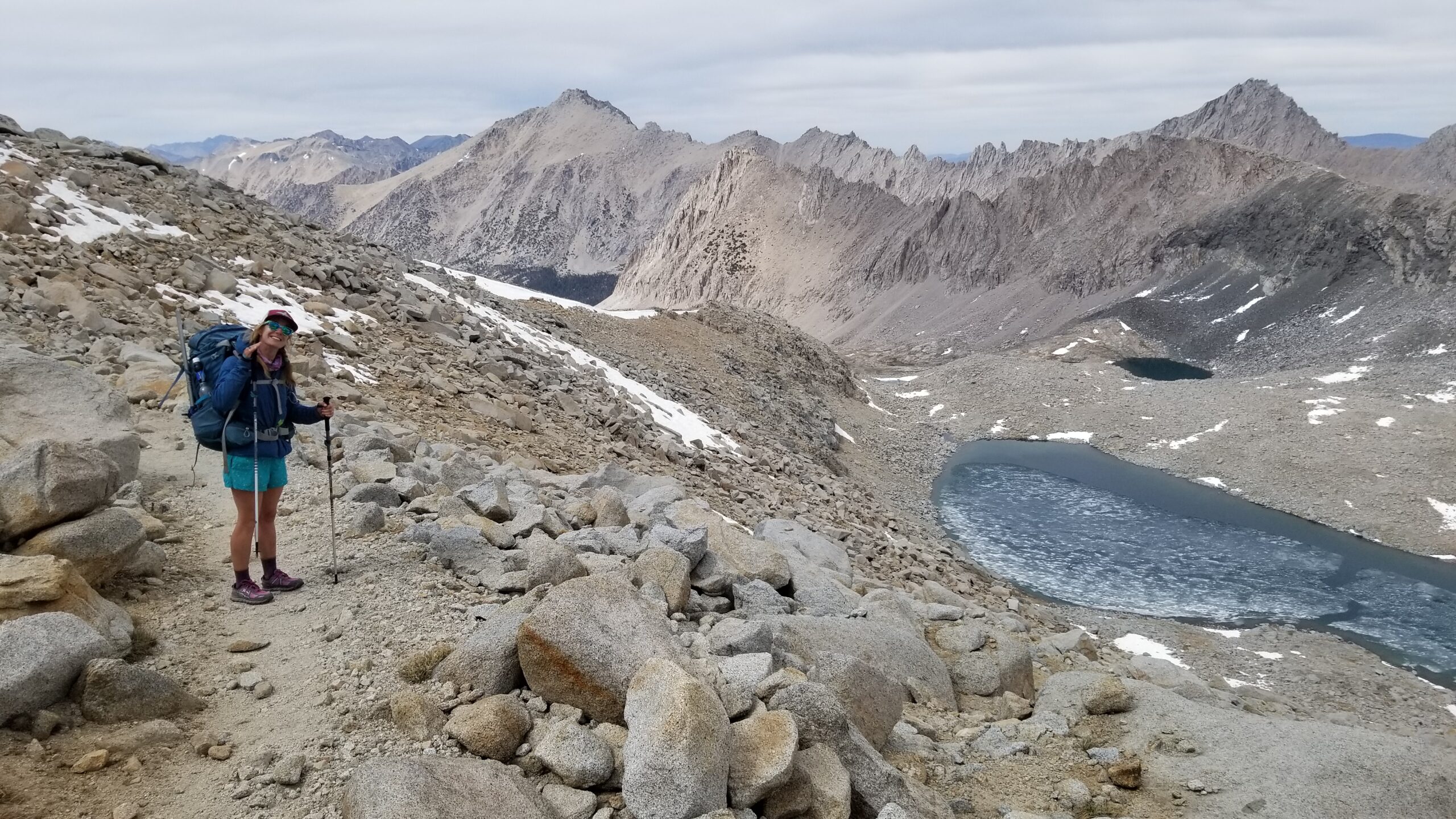
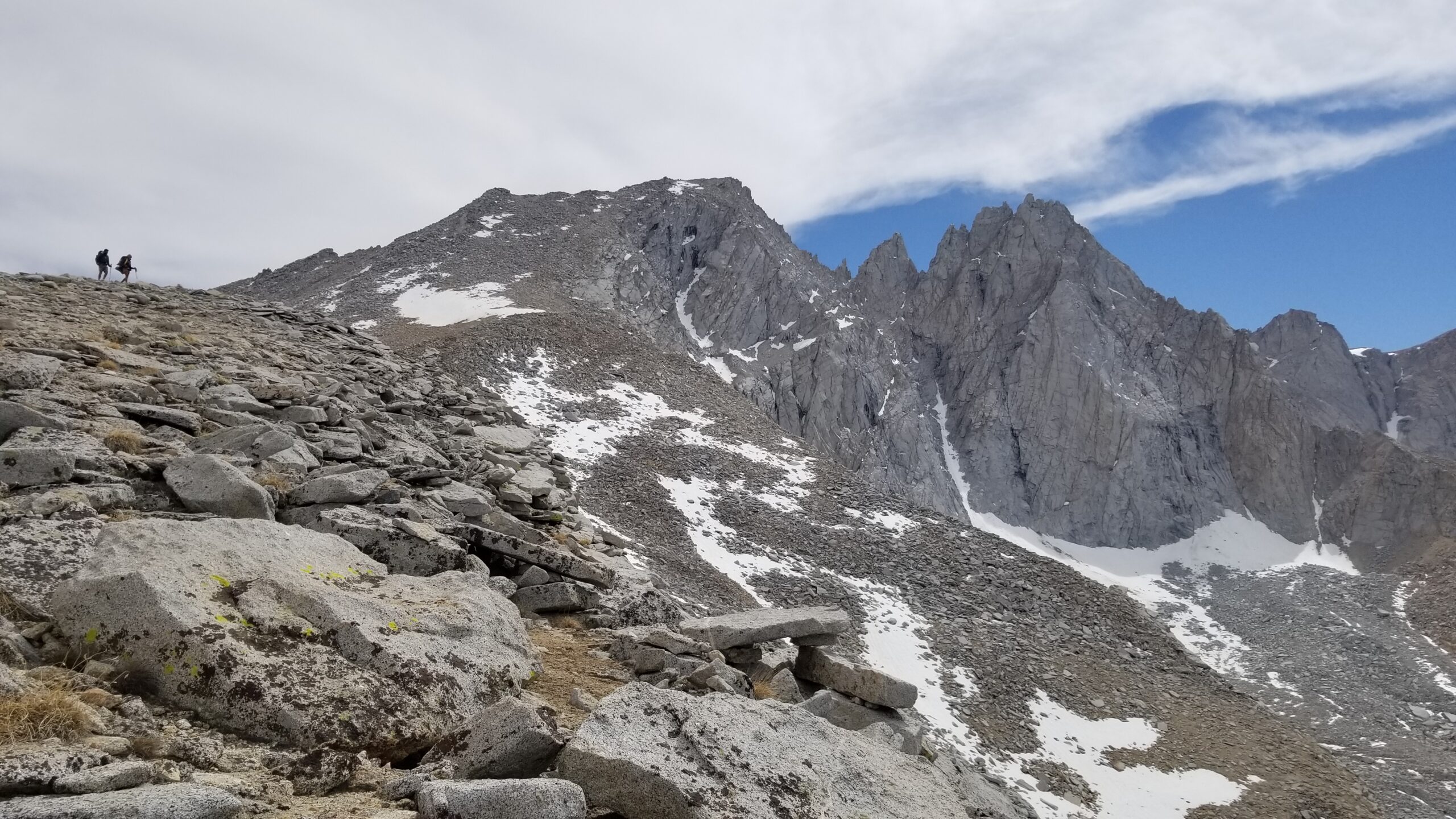
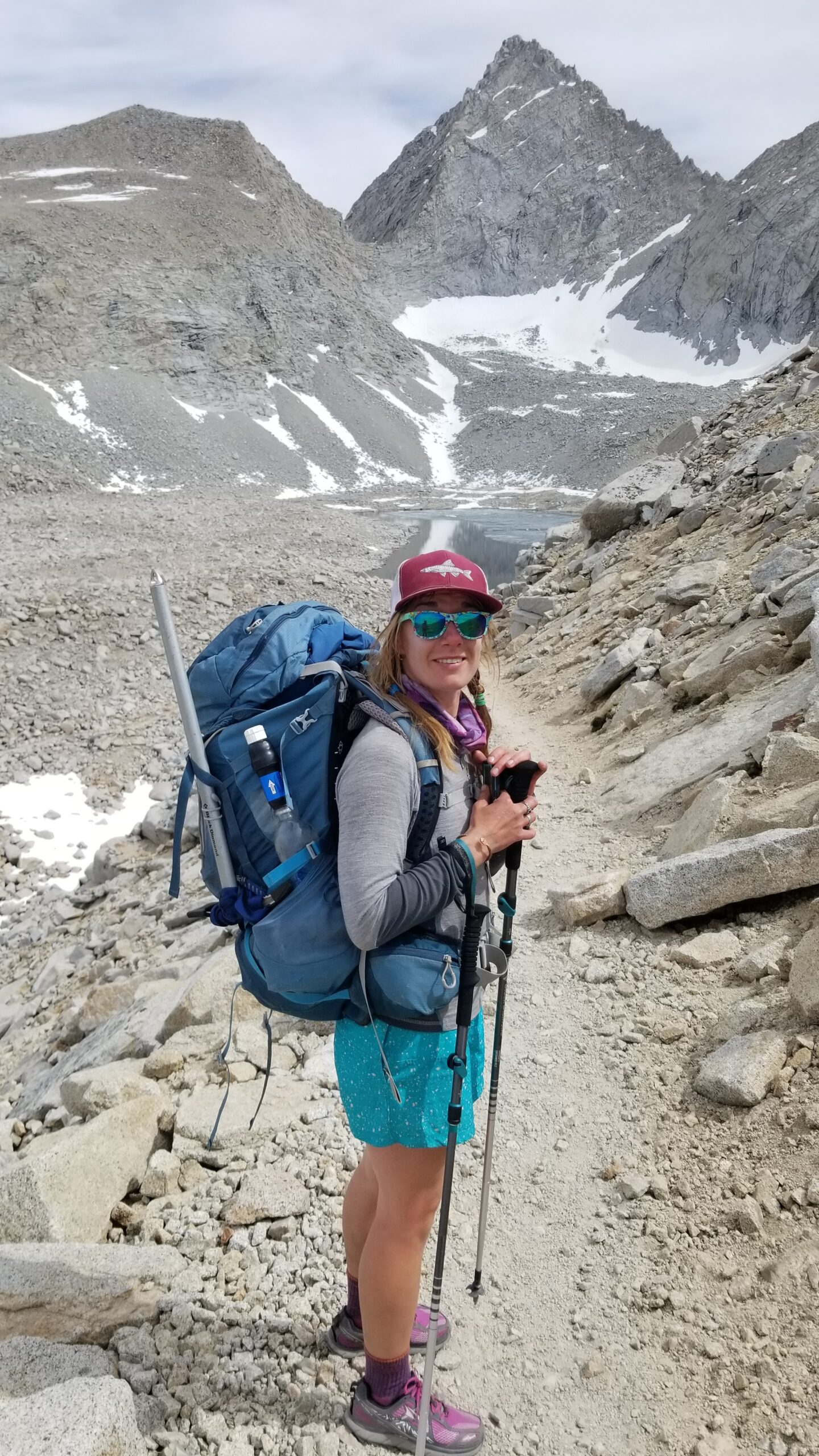
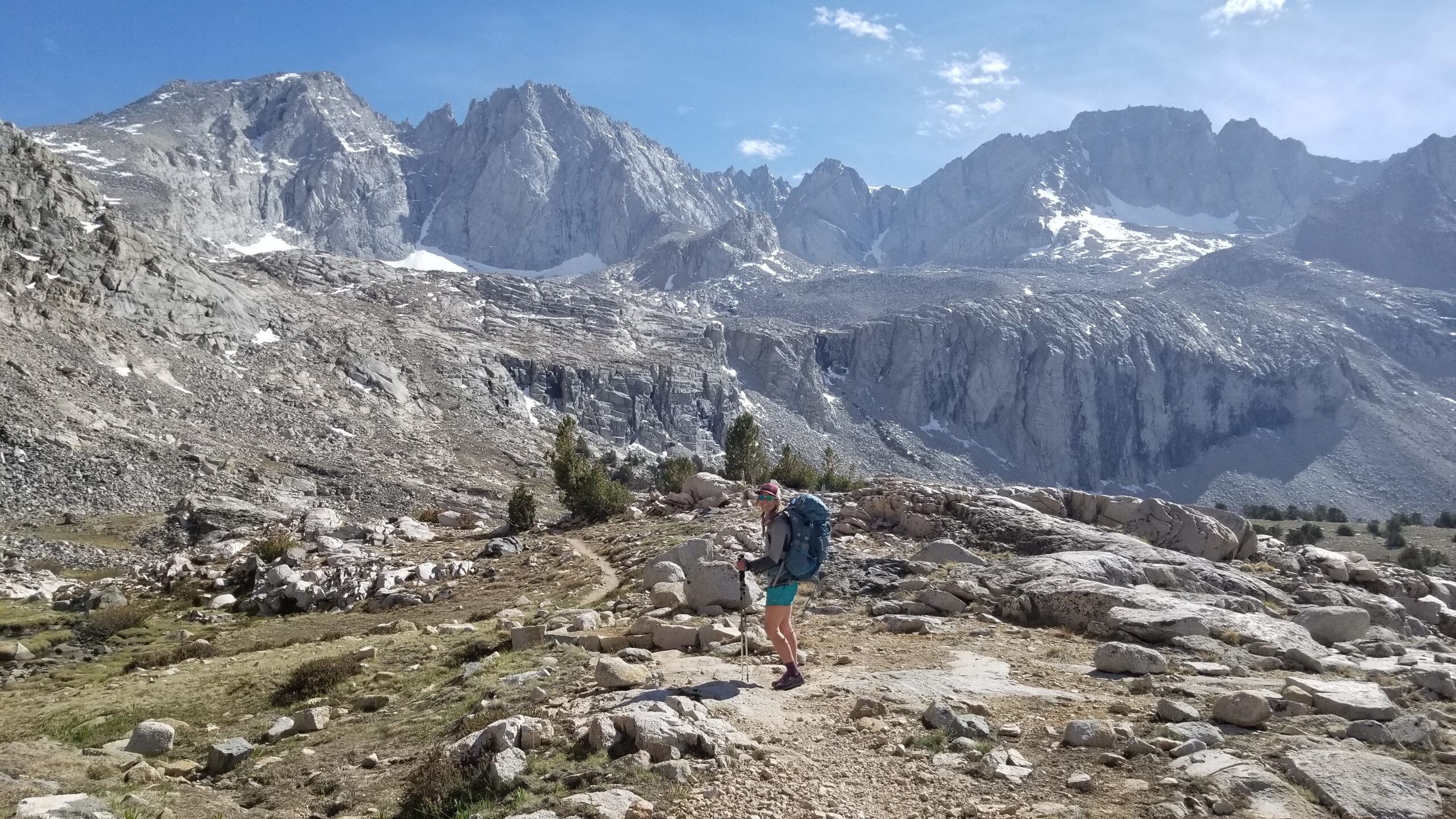
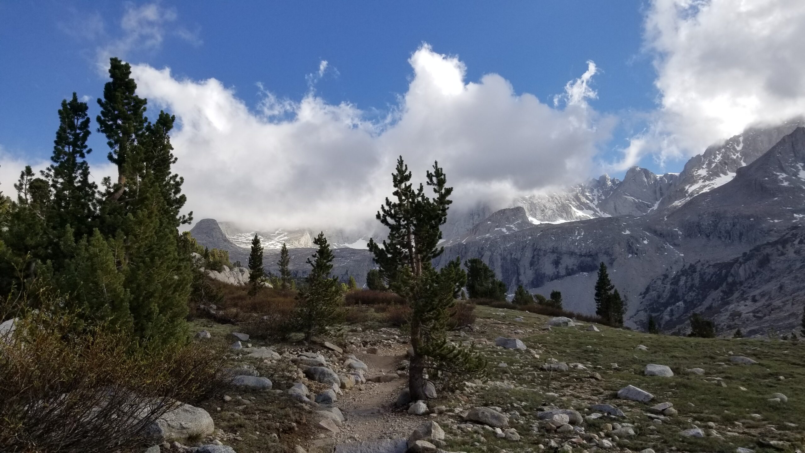
Coming down from our Bighorn Plateau high, we found Tyndall Creek flowing well and a few hikers sitting nearby enjoying a snack. We joined them, chatting about Forester Pass ahead and where they were from. We were interested to hear the Forester pass was clear of snow, although hard to believe, we would soon find out first hand. We pressed on up out of the creek valley and onto an approach plateau just below the pass. Once again trees began to fade out, and ice covered lakes took their place. We climbed slow and steady up to the pass. We must have already begun to adapt to altitude as this ascent was much easier then Whitney the day before! We found no snow on the trail all the way to the saddle, which was very surprising, indicative of the dry winter this past year.
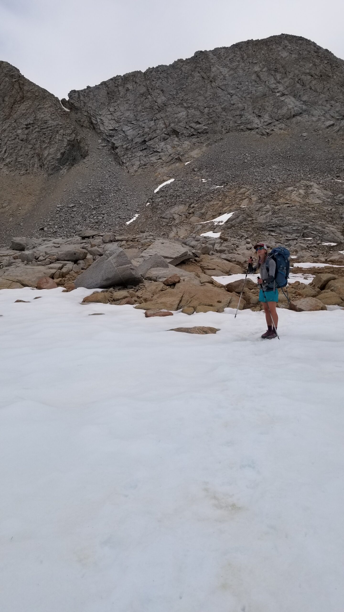
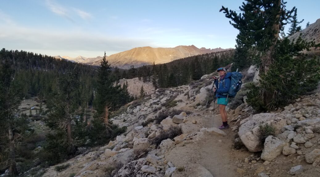
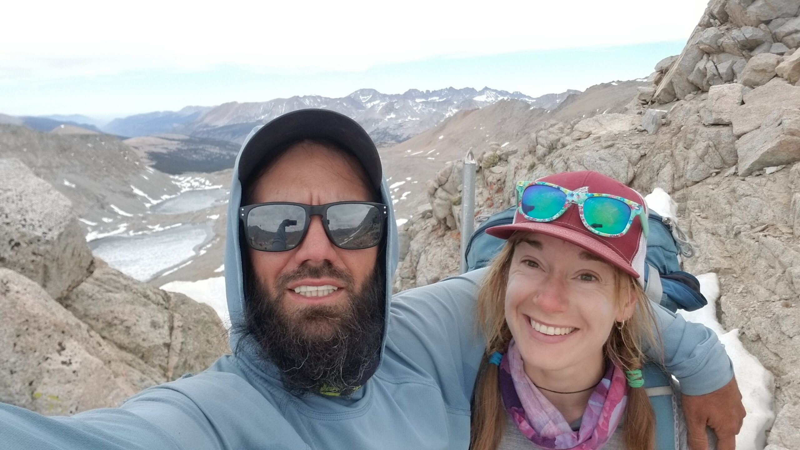
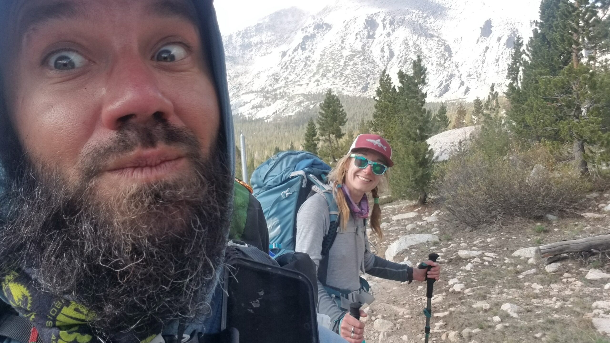
We found some new friends on top of the pass and chatted on about the low snow, the fires to come, and treks present, past, and future. We soon bid farewill and started down the north side of Forester. There were only a few snow patches to be found and the trail was quick and windy.
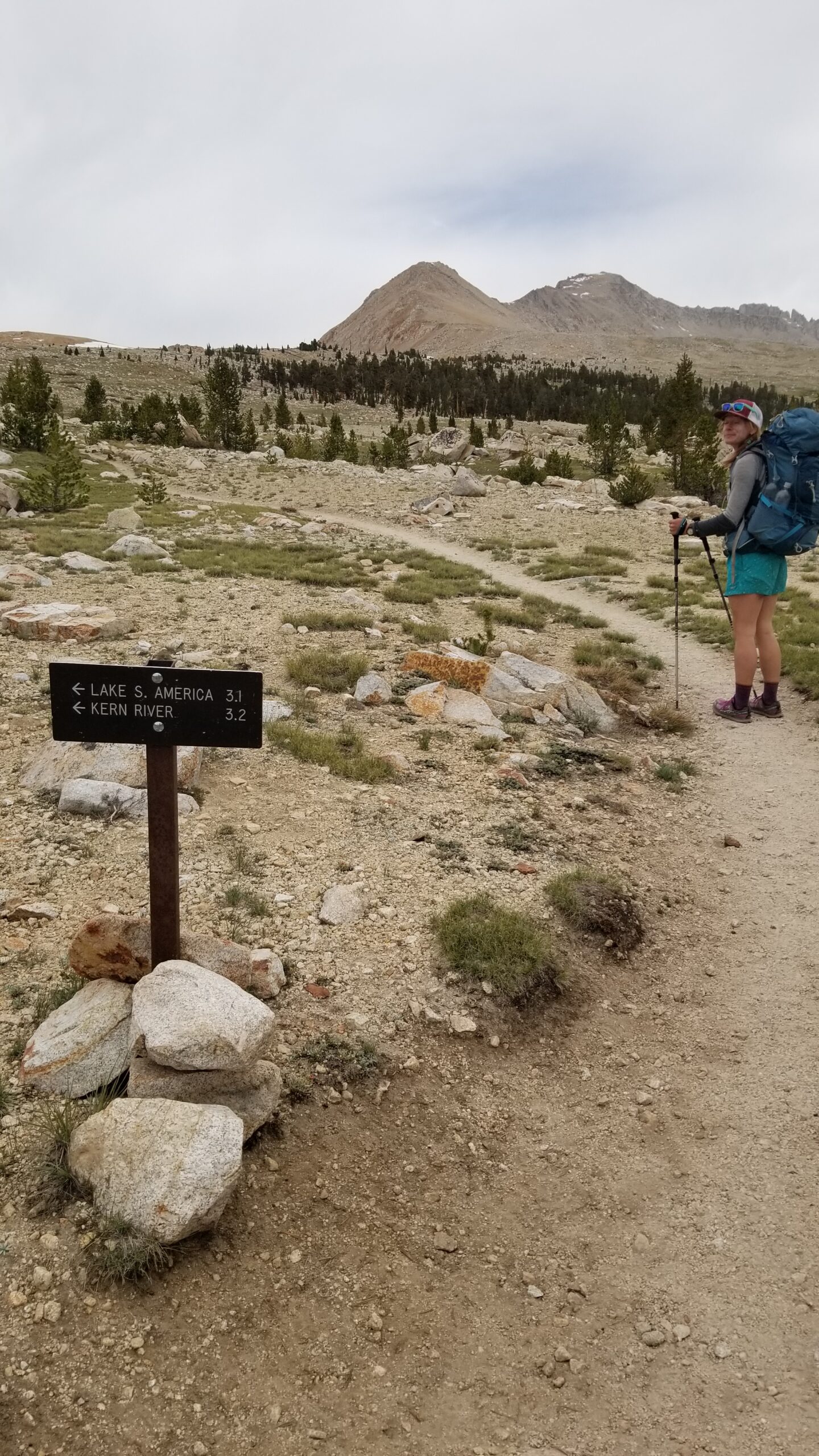
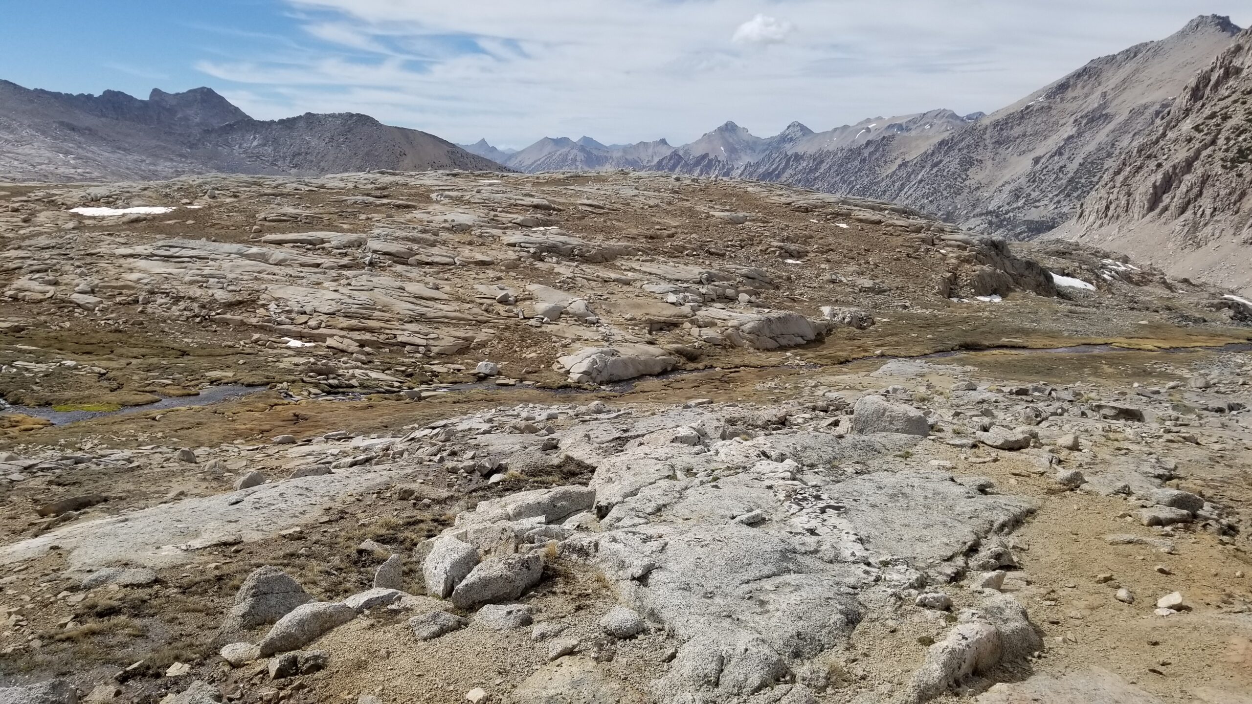
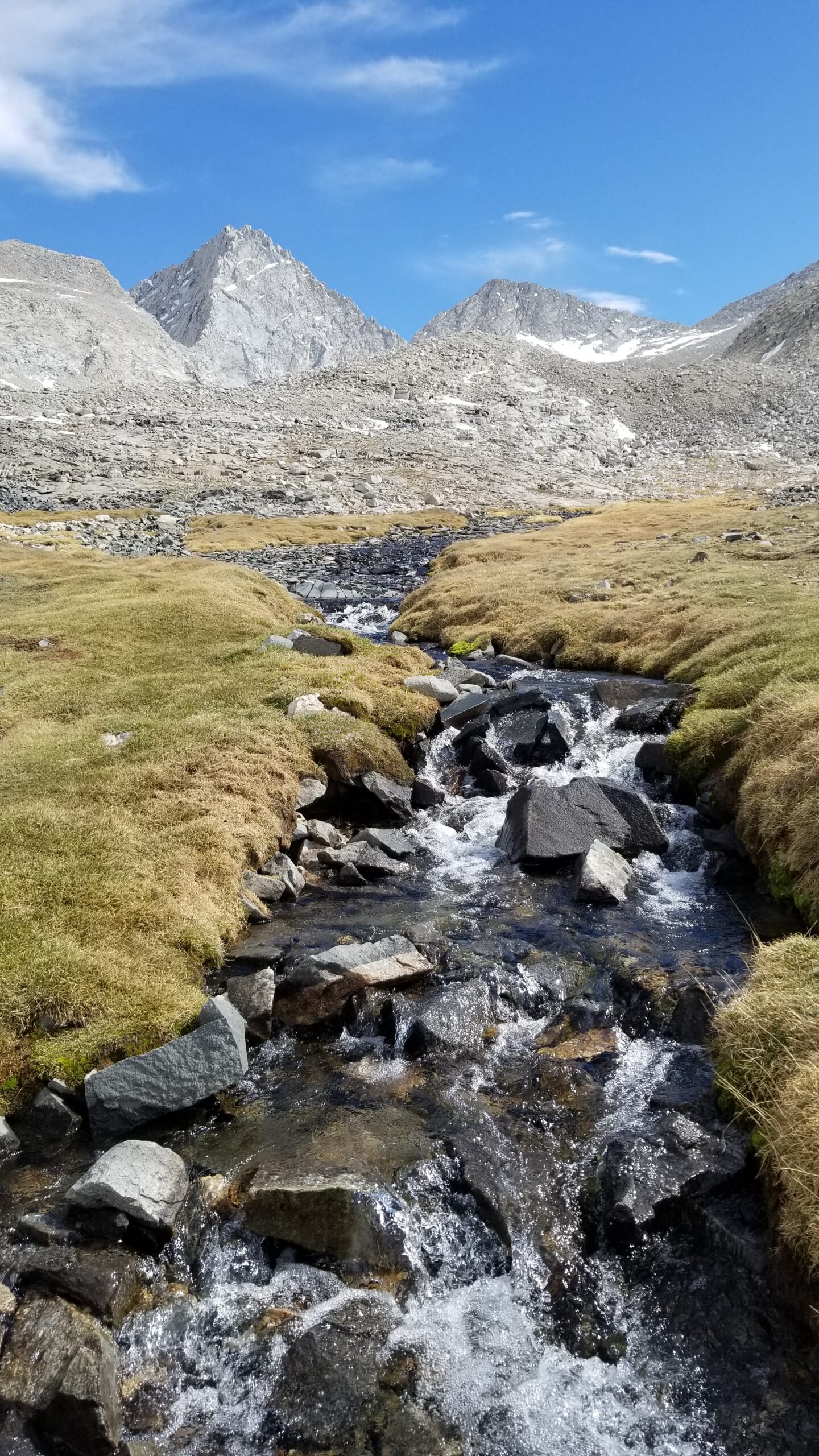
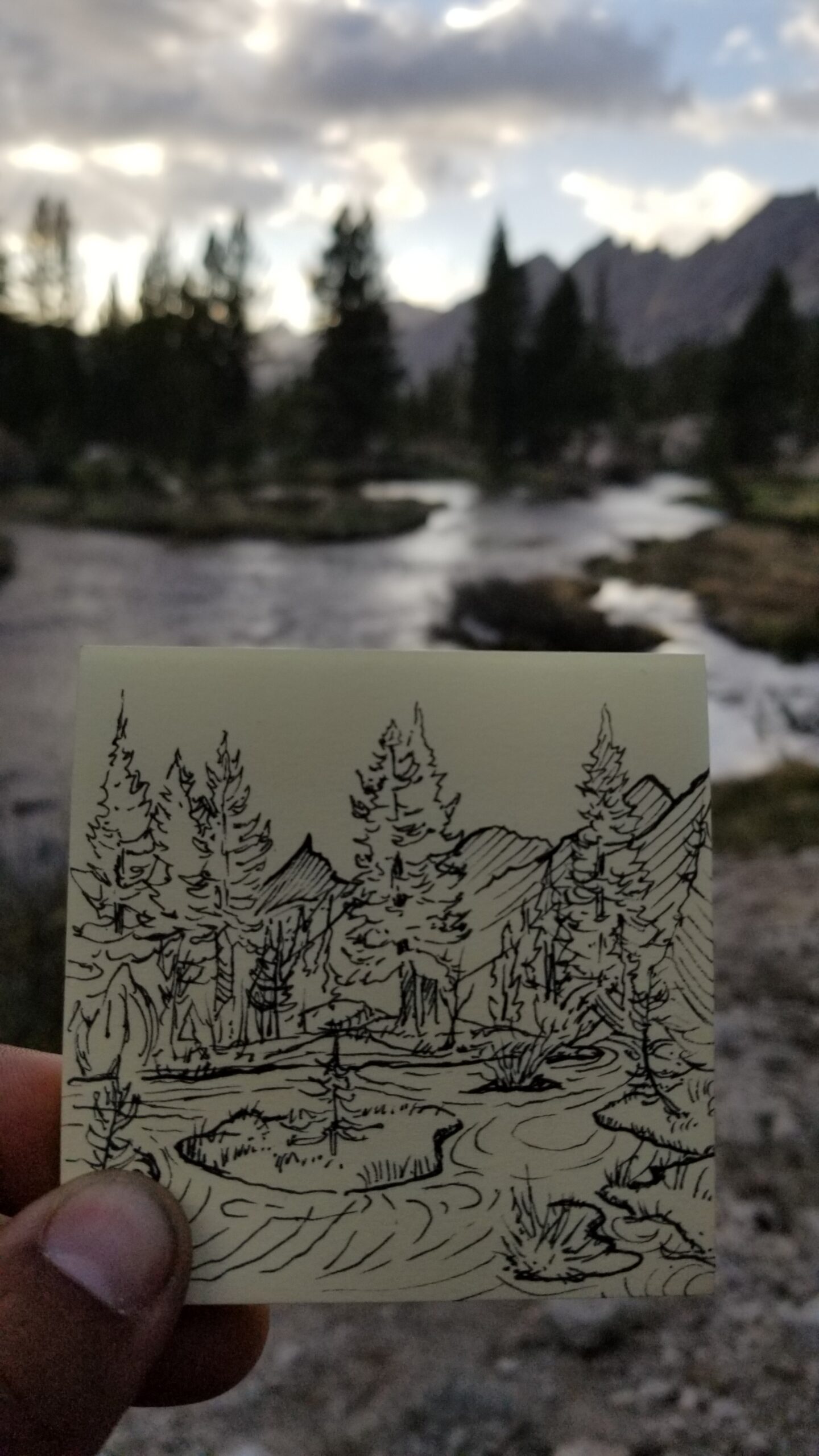
We soon passed that magic 10,000 ft altitude and trees immediately sprung up. The valley we were entering was gorgeous, covered in moss, and cut through with gurgling braided streams. It was stark and beautiful, the tall strong granite mountains above fed the streams, like veins of the valley pumping the lifeblood to all the vegetation and animals here.
We continued north, dropping lower and lower into the valley ahead until reaching Golden Bear Creek. We stopped to top off our water before camp and rest our feet. By now some ominous clouds had moved in and the temperature started to drop rapidly. I didn’t suspect rain, but was perplexed by the strange white cloud looming over the peaks blocking out the sun’s warmth, and the distant peal of thunder.
We trekked on and found a gorgeous camp perched just above Golden Bear Creek. The jagged ridgeline lined the sky, beautiful pine trees and granite boulders scattered the landscape. We set up our tent, cooked up our dinner, finished the obligatory pre-dinner stretches before slinking off to our cozy tent in refuge from the cold night that was starting to set in on us. What a magical day.
- Hike Stats – Total Miles: 20.0
- JMT Miles: 20 (16.5-36.5)