Tag Archives: AZT

AZT #21 – Pine Mountain – AZ (3.20.16)

Share
20160320_061232
Good morning!

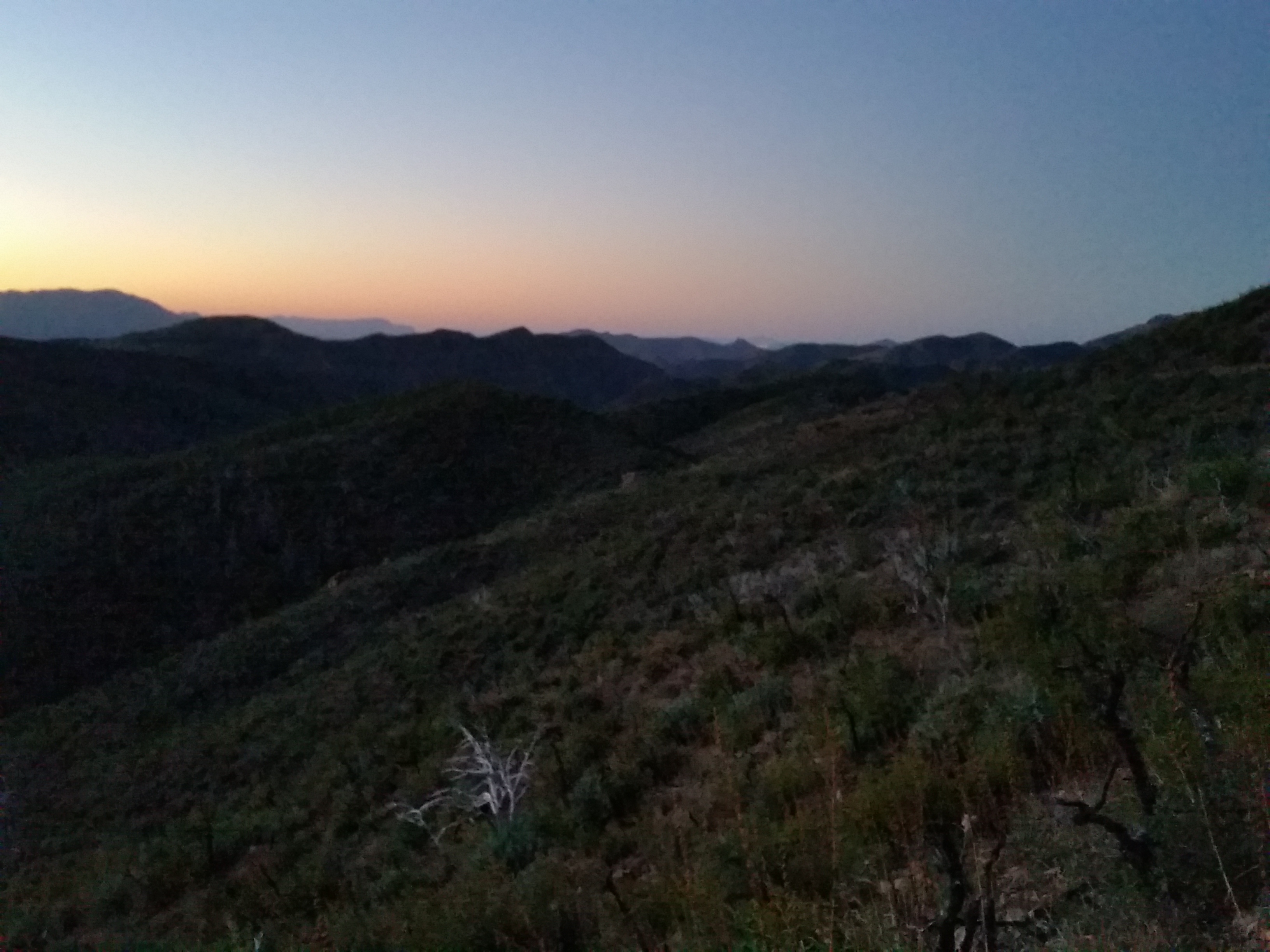
I woke early, before the sun was up, and my eyes cracked open from my 10 hour slumber like Sleeping Beauty ready to start the day! There’s something about backpacking…the sun goes down, you crawl in your tent after a long day and try to read and be productive, but instead you’re instantly drowsy and sleep seems to strike before your head even hits the pillow (for me at least).

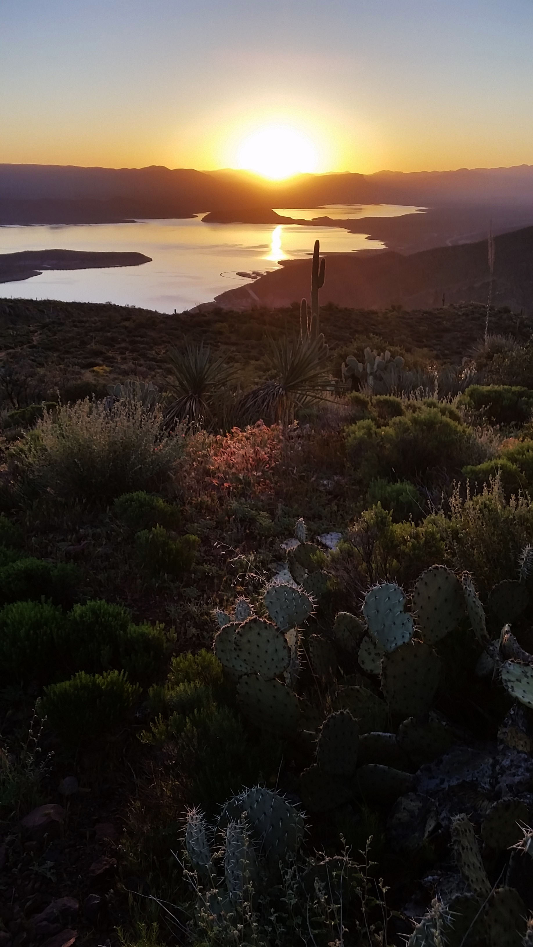
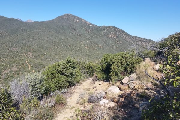
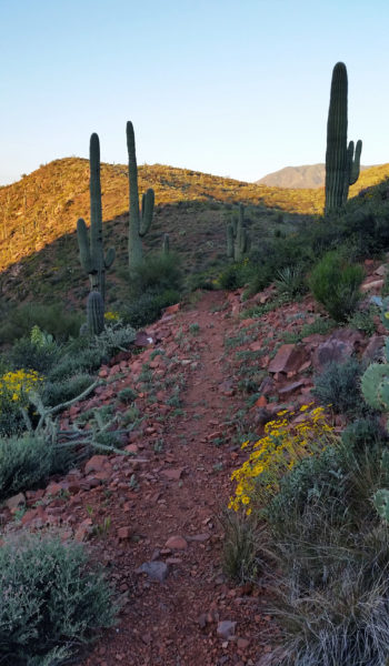
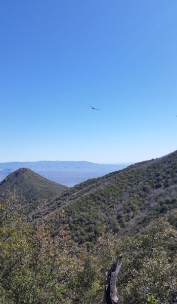
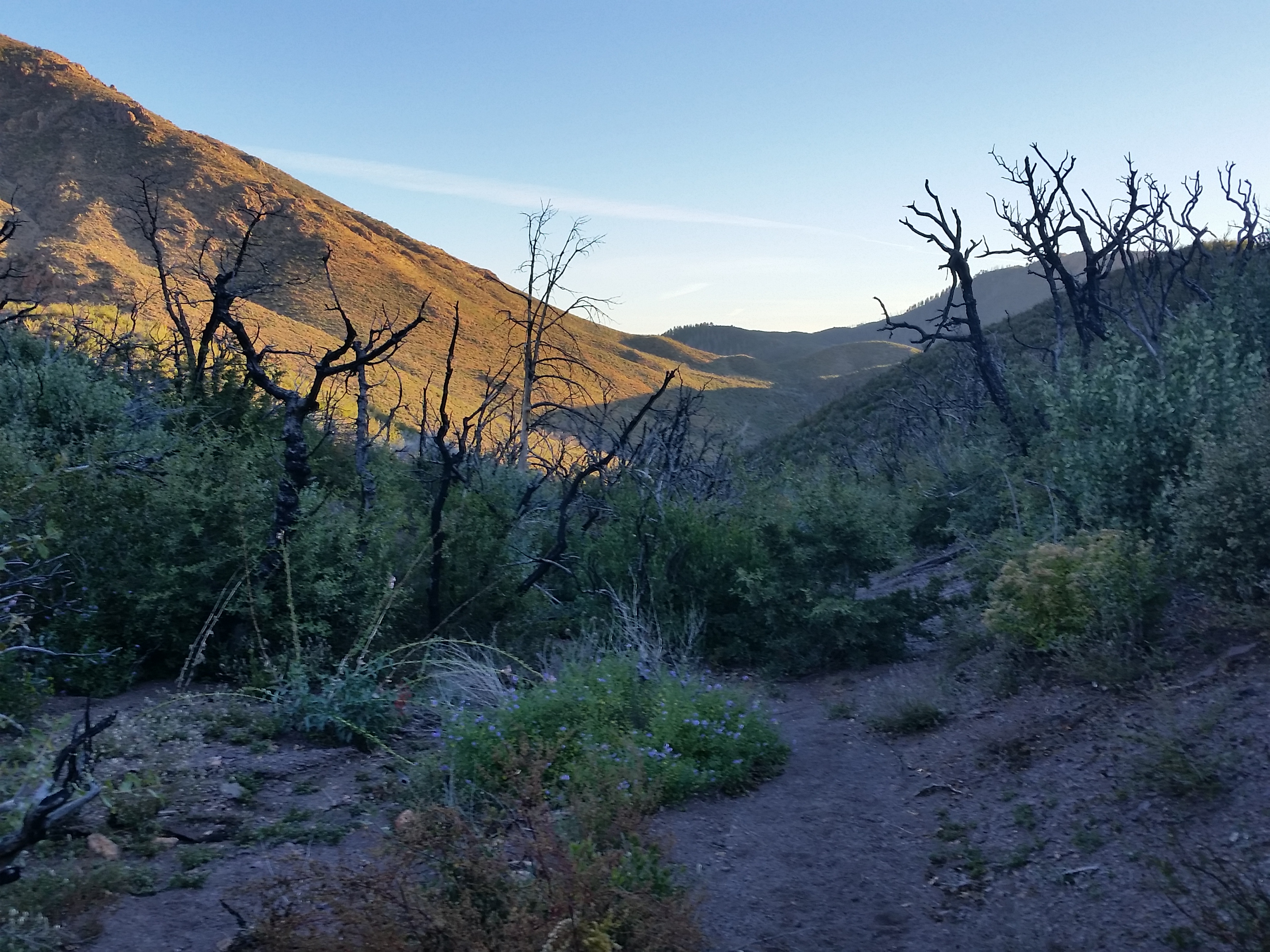
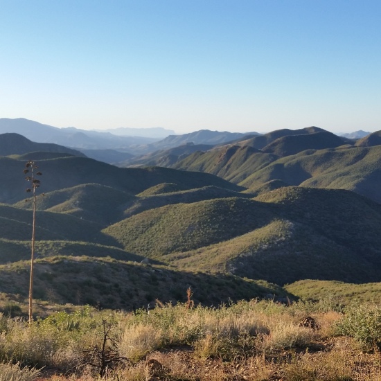
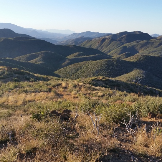
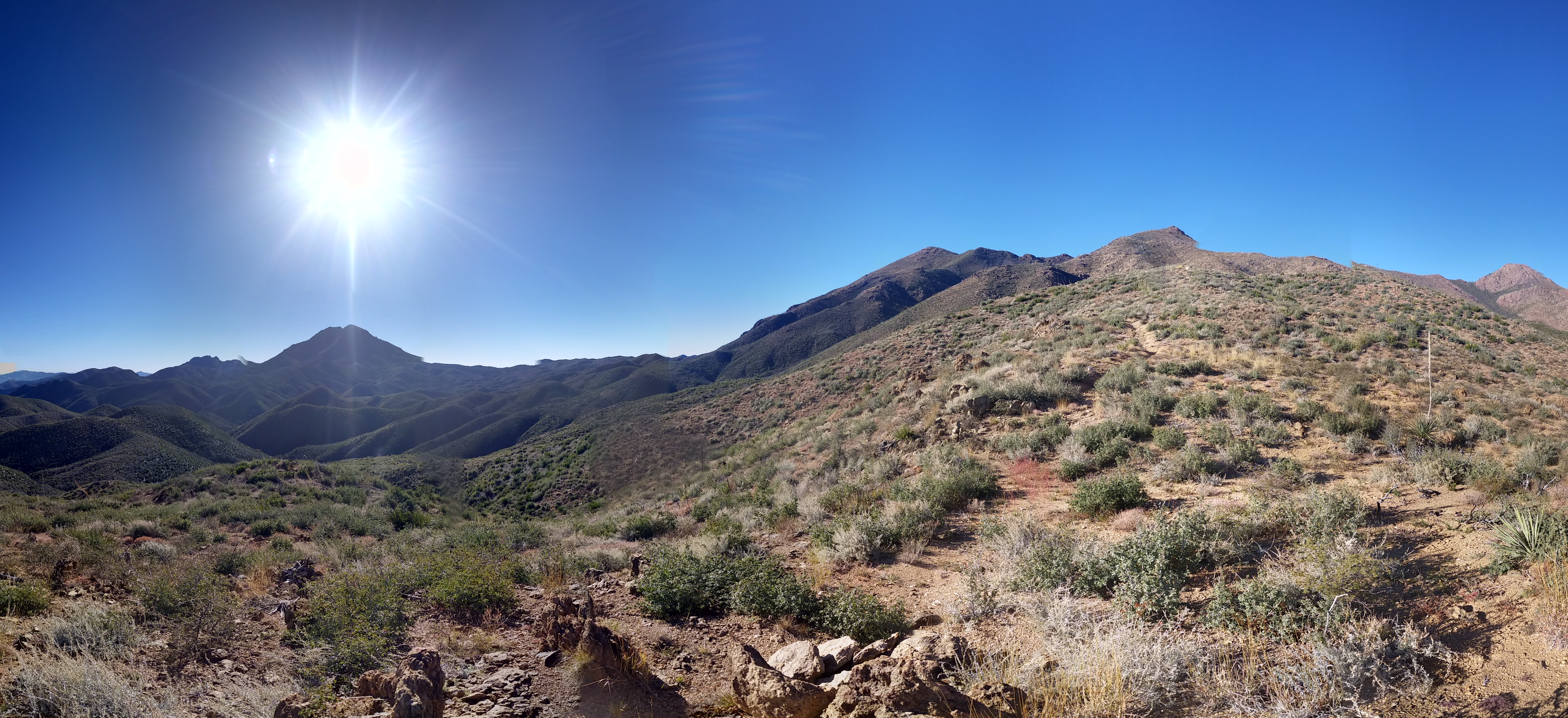
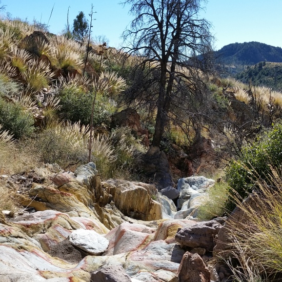
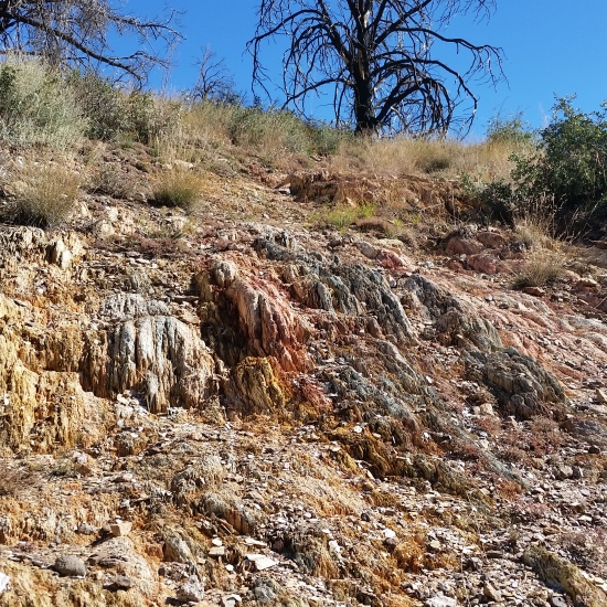
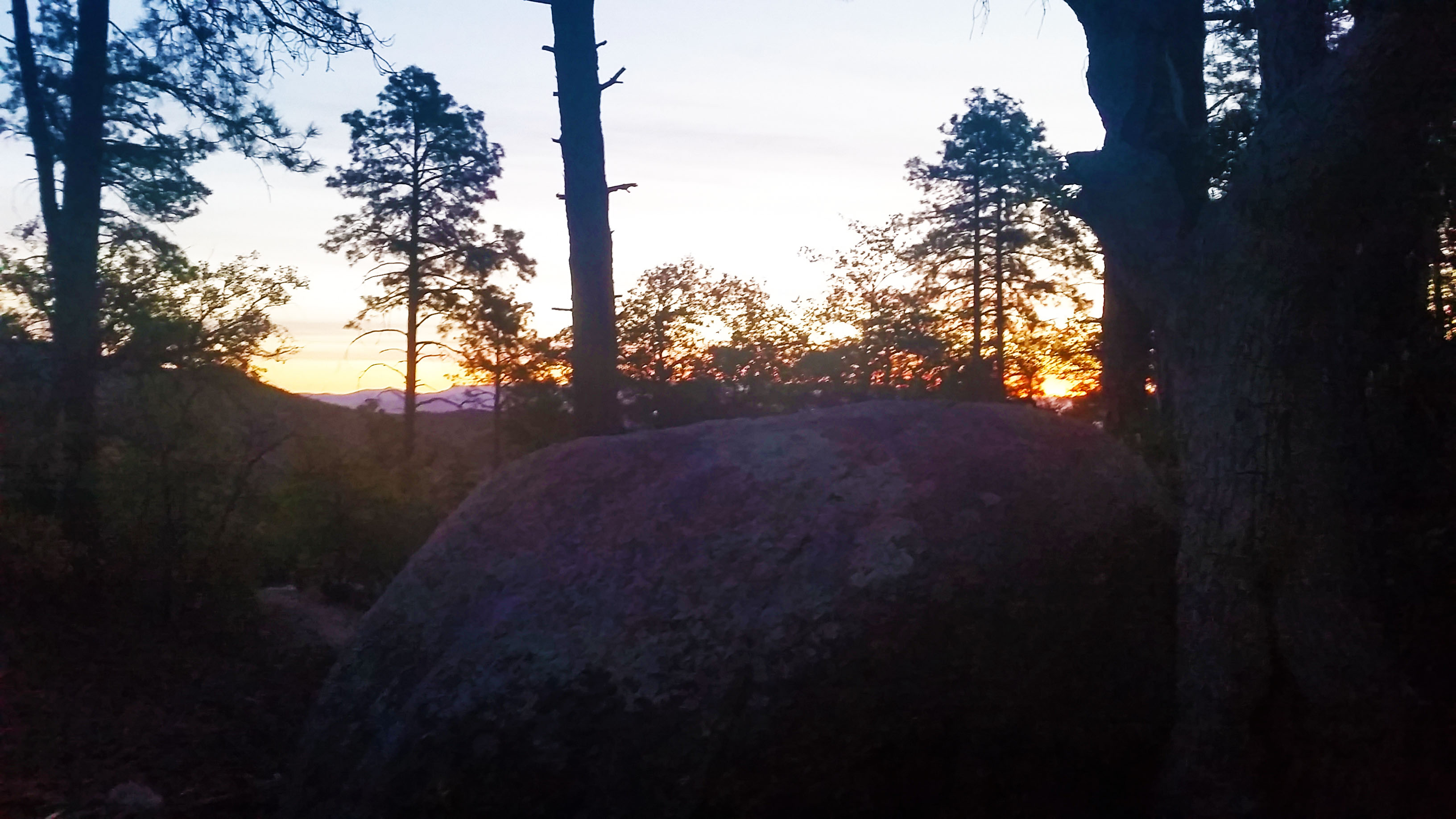
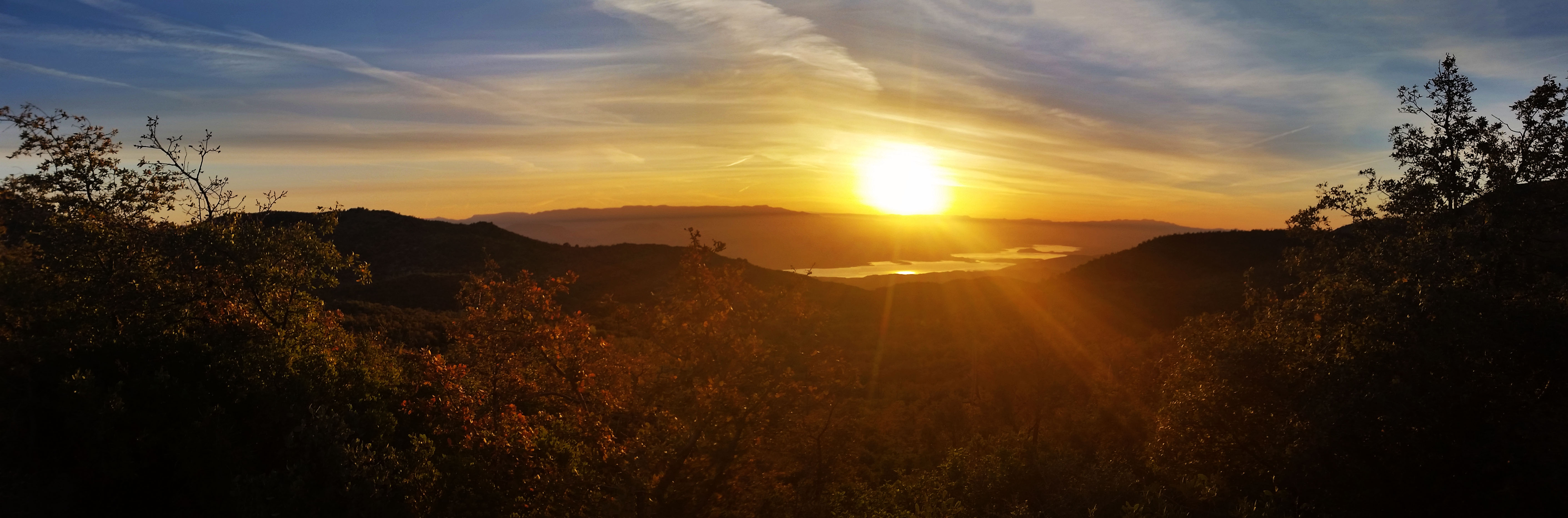
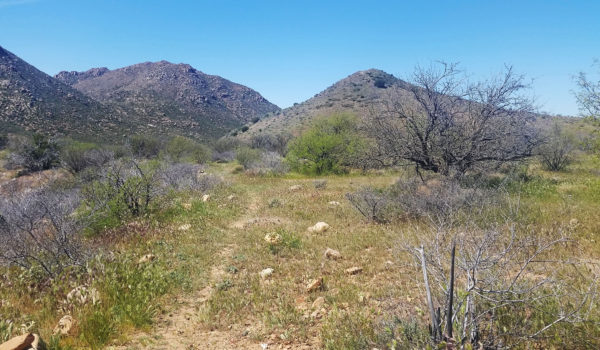
I went through the motions, making breakfast, packing up, and getting everything in my bag, before finally standing. I was in a personal race with the sun as some of my favorite times on the trail are just as it peeks over the horizon. The golden light bathes everything around you, illuminating rock faces making cool shadows, and snakes through the trees, giving some beautiful views that you can only capture for that brief moment before it’s gone. Sunrise and sunset are some of my favorite views on a trail.

untitled_panorama16
Pushing out on the trail as the sun greeted me over Roosevelt Lake in the distance

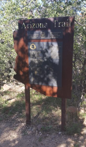
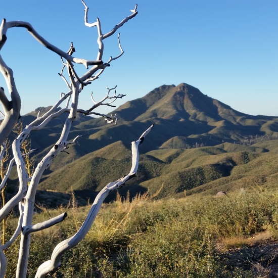
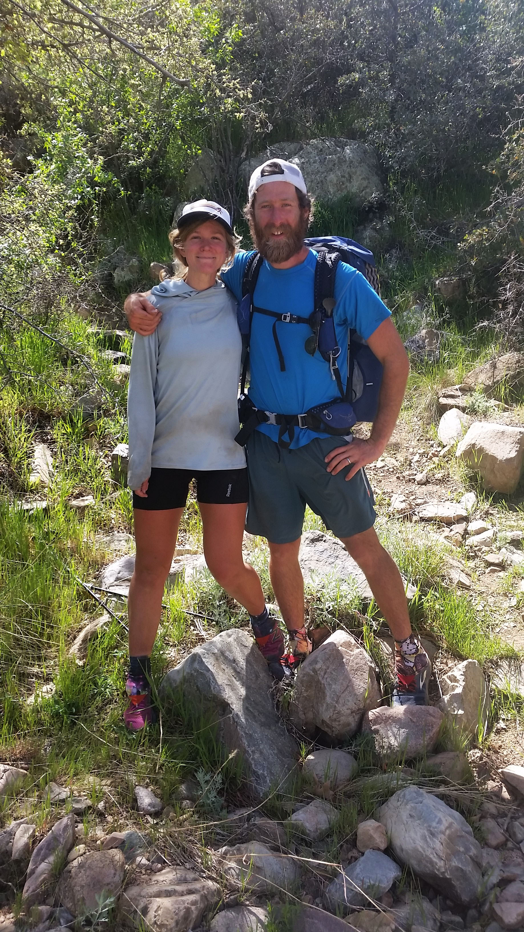
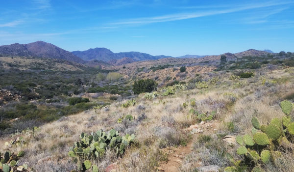
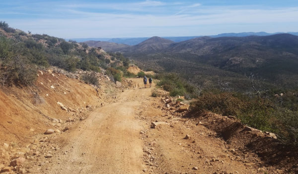
Strapped up, I stepped onto the dirt road where the AZT would wind and rise and fall for the next 11 miles before I would reach the trail cutoff to Kitty Joe Canyon and eventually my truck (hopefully still waiting for me un-vandalized and un-ticketed in the parking lot). With no idea what the day would hold for me, I headed out on my road walk. Not a soul was in sight, it was like the zombie apocalypse had happened while I was away and I was the last to know.  Road walking gives you an opportunity to crank the pace wide open without worry, but it’s also one of my least favorite ways to hike. After 7 miles I took a break and had a quick snack on a rock, looking out the valley below. Just then I heard voices behind me…I turned quickly to see two hikers with big bags on their backs trudging my way. I stood on the rock, waved to the couple, and soon discovered that “Barking Spider” and “Stretch” were taking on the AZT in its entirety before continuing on to the PCT.  Having not seen anyone for more than a day, I was glad for the company.

untitled_panorama17
Morning glow on the mountains in the distance, so beautiful

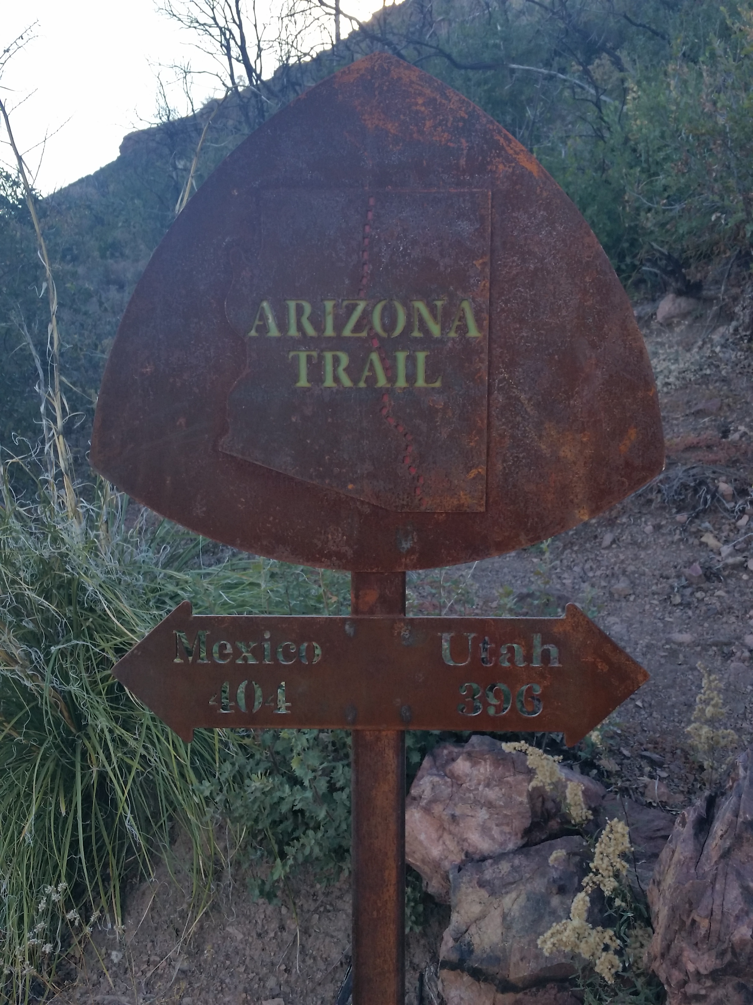
It was both of their first times visiting AZ and they mentioned that they were blown away by the state’s diversity. They were on Day 21 of their trek and making great time. There are 43 sections for the AZT, each about 20 miles long, and their pace showed they could easily keep a solid 20 mile per day average going. We chatted about through hikes, saving up for the treks, working seasonal jobs, and of course AZ.  “How about that water at Pigeon Springs?” Barking Spider asked. “Oh yeah, it wasn’t horrible, but I’ll take what I can get out here!” I responded.  Apparently they had chosen the worse of the two troughs, not seeing the other, and got the blunt of the funk.

untitled_panorama19
Vast wilderness!

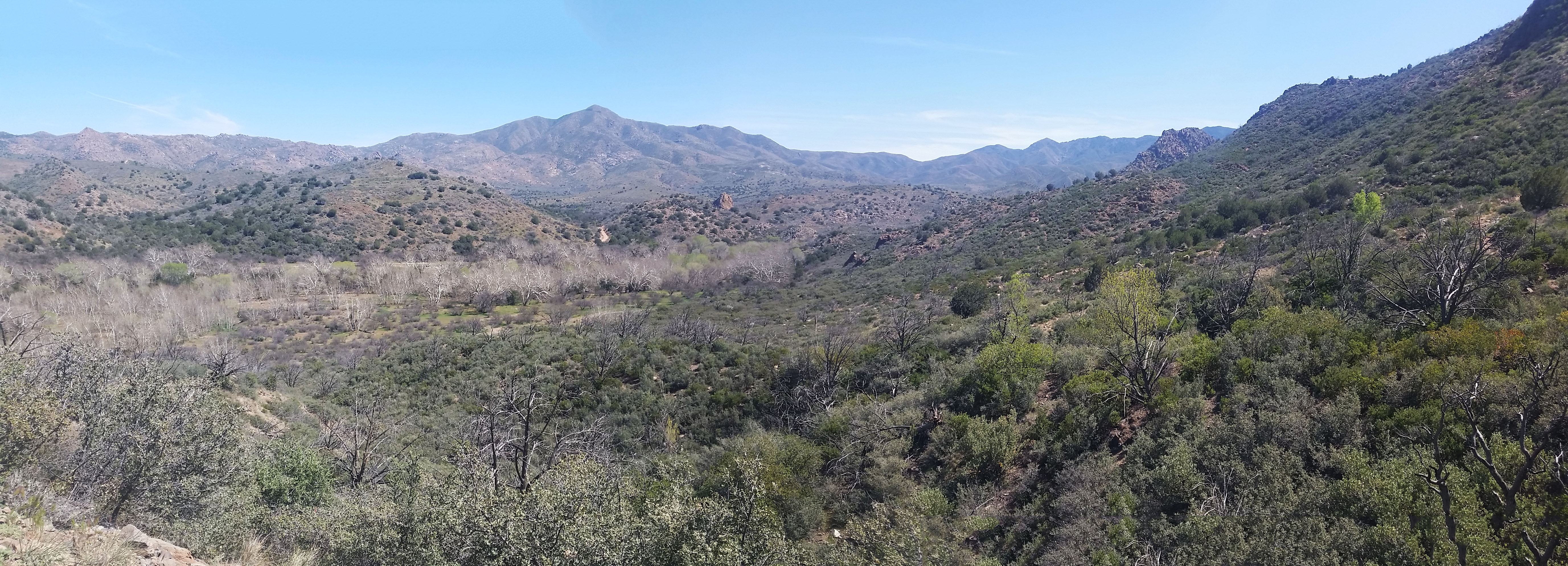
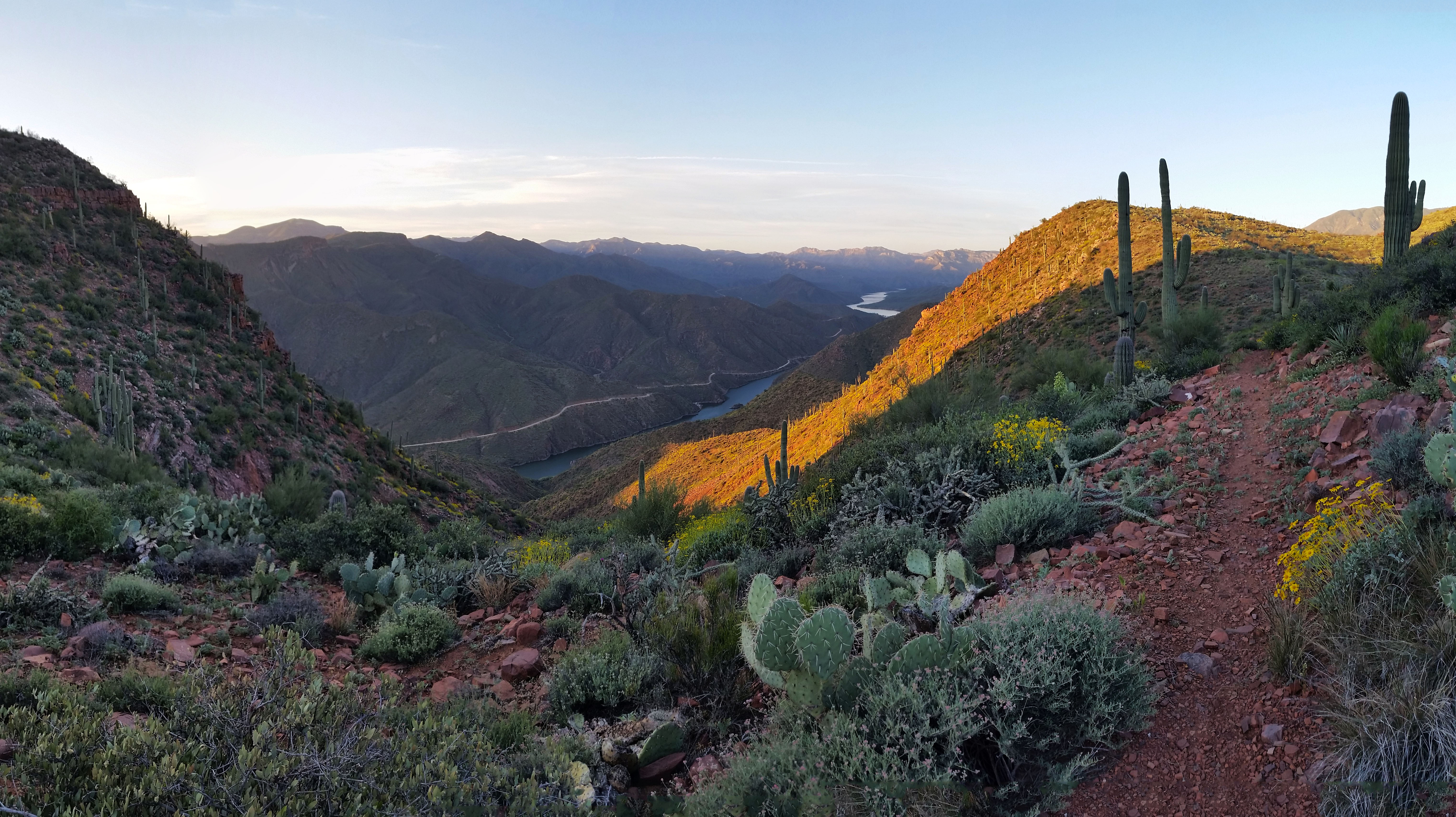
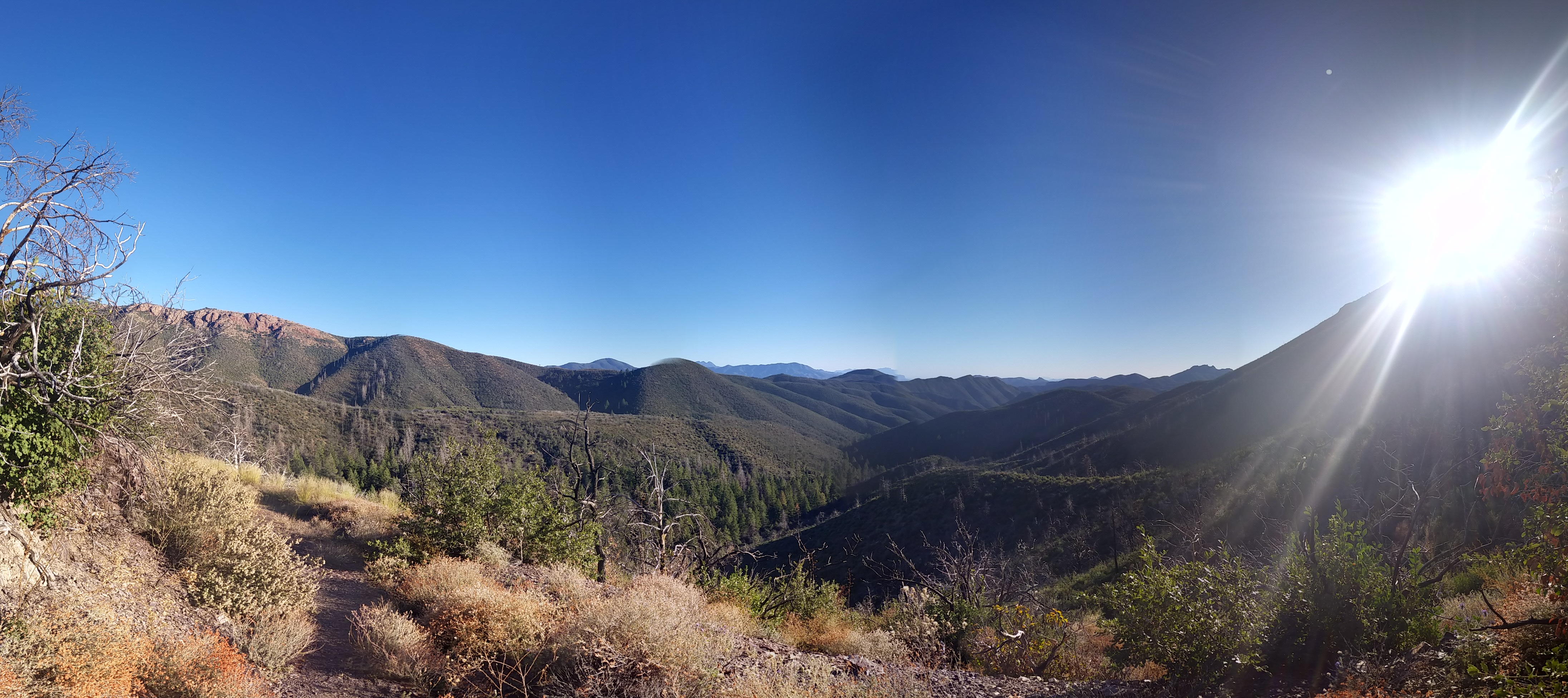
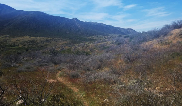
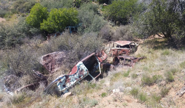
All in good spirits, we kept trekking and the 11 mile slog quickly melted away.  We made it to the cutoff and bombed down the canyon. I could see some old remains of a farm’s cattle watering trough in the distance. I snapped pictures as often as I could while trying to keep the pace going. Stretch held true to her name, man she could really move! At first glance you wouldn’t think it to look at her, but she took the lead and was quick as lightning, pushing a good 3.5 to 4 mph pace (this of course with a 20-30 lb pack on her back). We kept trekking until finally crossing a tributary to Boulder Creek. Here we parted ways as Stretch and Spider decided to take lunch and I pushed on.  The cool creek was calling my name, but I wasn’t ready to rest yet, I wanted a few more miles under my belt.

20160320_111624
Barking Spider and Stretch

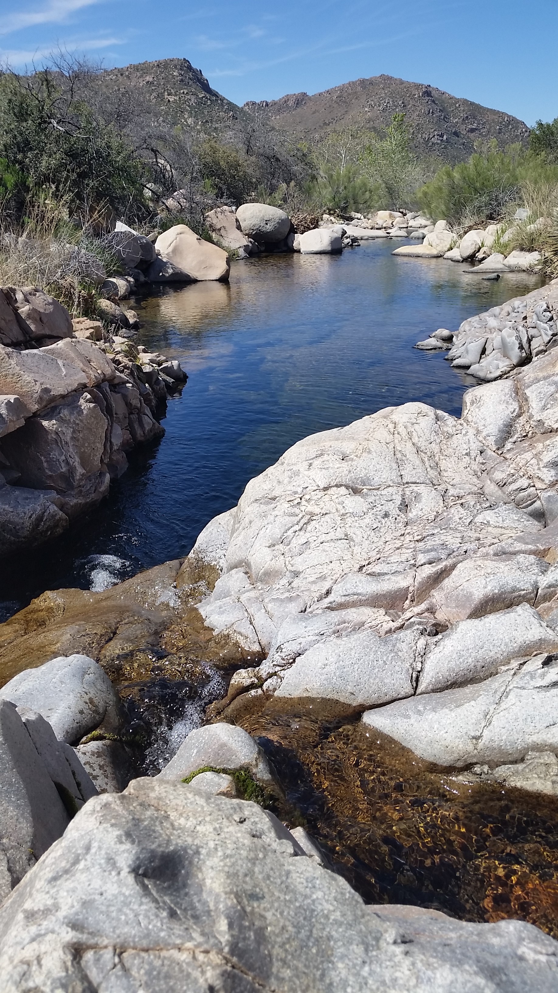
I kept pushing onward, up over into open plains. The sun once again began to beat on my head as I approached Boulder Creek, and this time I was ready to hang out for a few minutes. I pulled my bag off and plopped down on a nice big grey rock next to a deep pool in the sluggish creek. The longer I looked at it the more inviting it became. I was making great time and I figured what the heck, a little dip after 2 days in the middle of nowhere would do me some good. I stripped (almost) all the way down and jumped in. Whheeeewwww boy was it cold! Springs from snowmelt were undoubtedly feeding the creek and it was exactly what I needed to rejuvenate my spirits, cool off, and have a minute to soak the feet.

20160320_115610
This pool regenerated my soul!

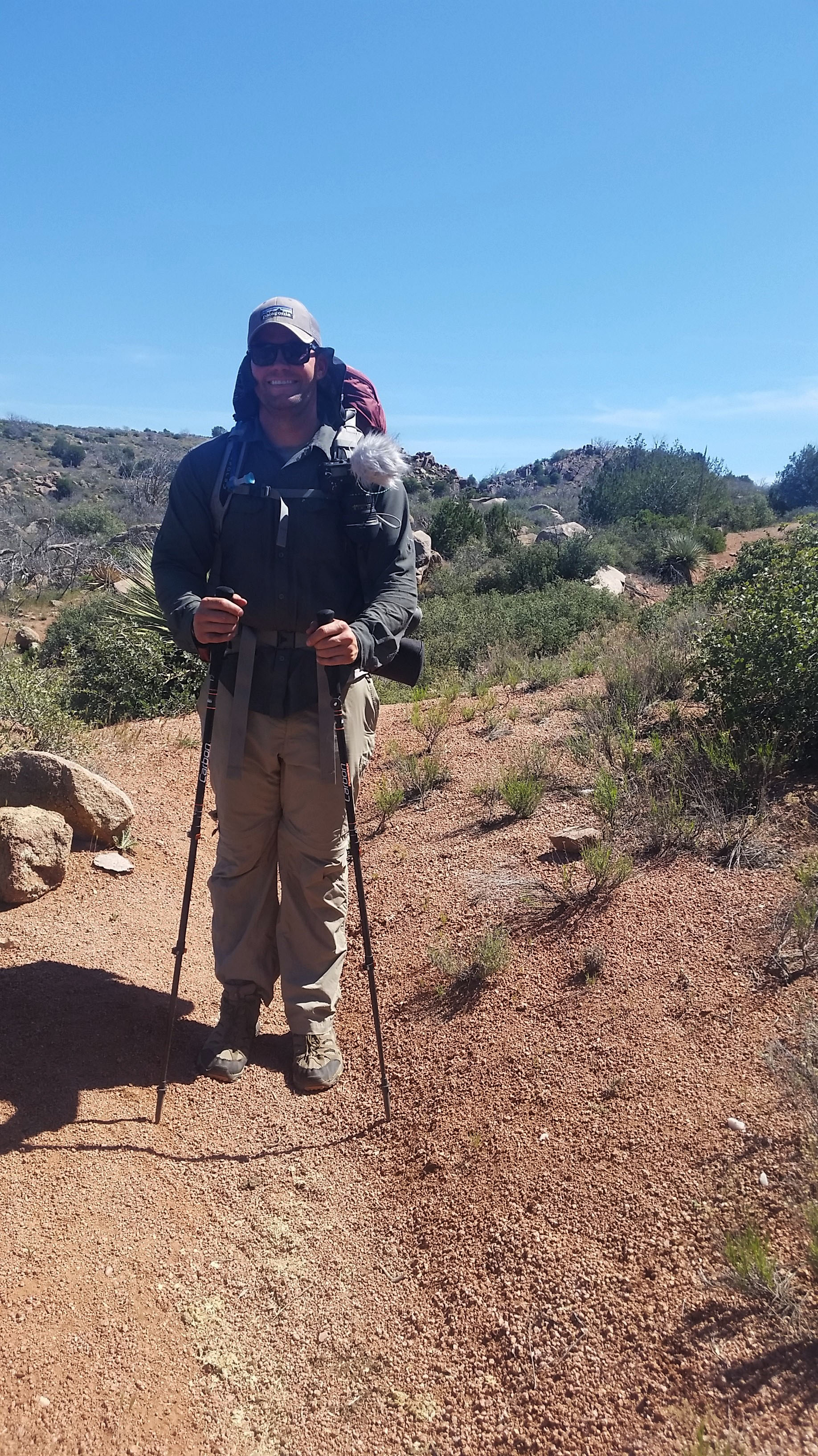
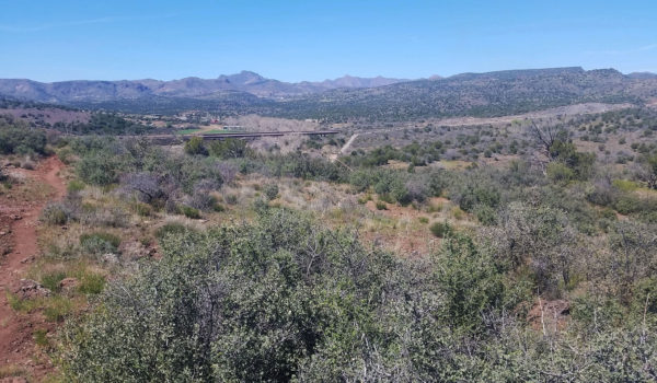
I pulled myself from the creek, threw my cloths and boots back on, and strapped up my bag again and before long was back on the trail. I was all smiles at this point, feeling refreshed and ready to close out the journey. I trekked on until I saw a figure in the distance. I figured it was one of the through hikers, but began to second-guess that conclusion as the hiker was alone. Catching up, it turned out to be another section hiker named Stephen Cox from Phoenix. He was a firefighter and was out for an extended weekend to take in the sights and make some nature videos. He was loaded down with gear, which all in all he told me he probably weighed 300 lbs between his own weight, the camera gear, and his backpacking gear. What a trooper! With my small frame I couldn’t imagine holding that much weight. We chatted for a while before I headed on, towards Sycamore creek and further on Highway 87 where my truck waited on me. I wasn’t in a hurry to finish but matching the pace of the two through hikers had gotten me into a rhythm.  I crossed Sycamore Creek, lined with cottonwoods, and before I knew it the highway came into view. The end was within sight! I wasn’t ready for the day to be done, but I had already pushed this far and figured I might as well finish strong.

20160320_125515
Stephen Cox! @mrsteohencox – Here is his Vid: https://www.youtube.com/watch?v=w1mm-eMSoPM

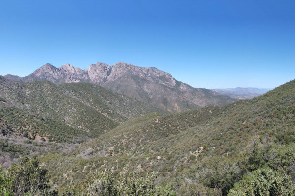
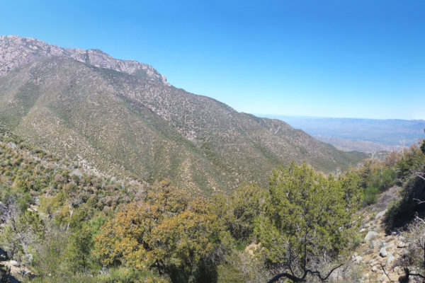
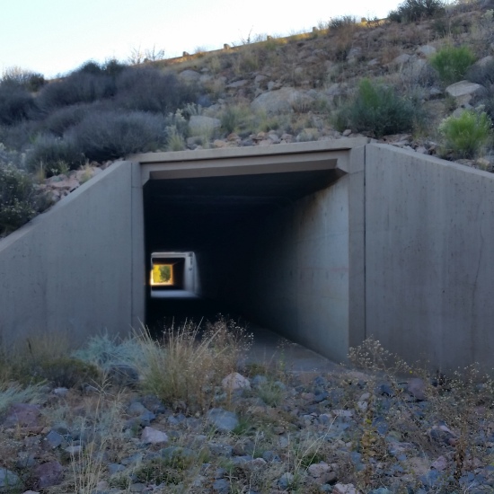
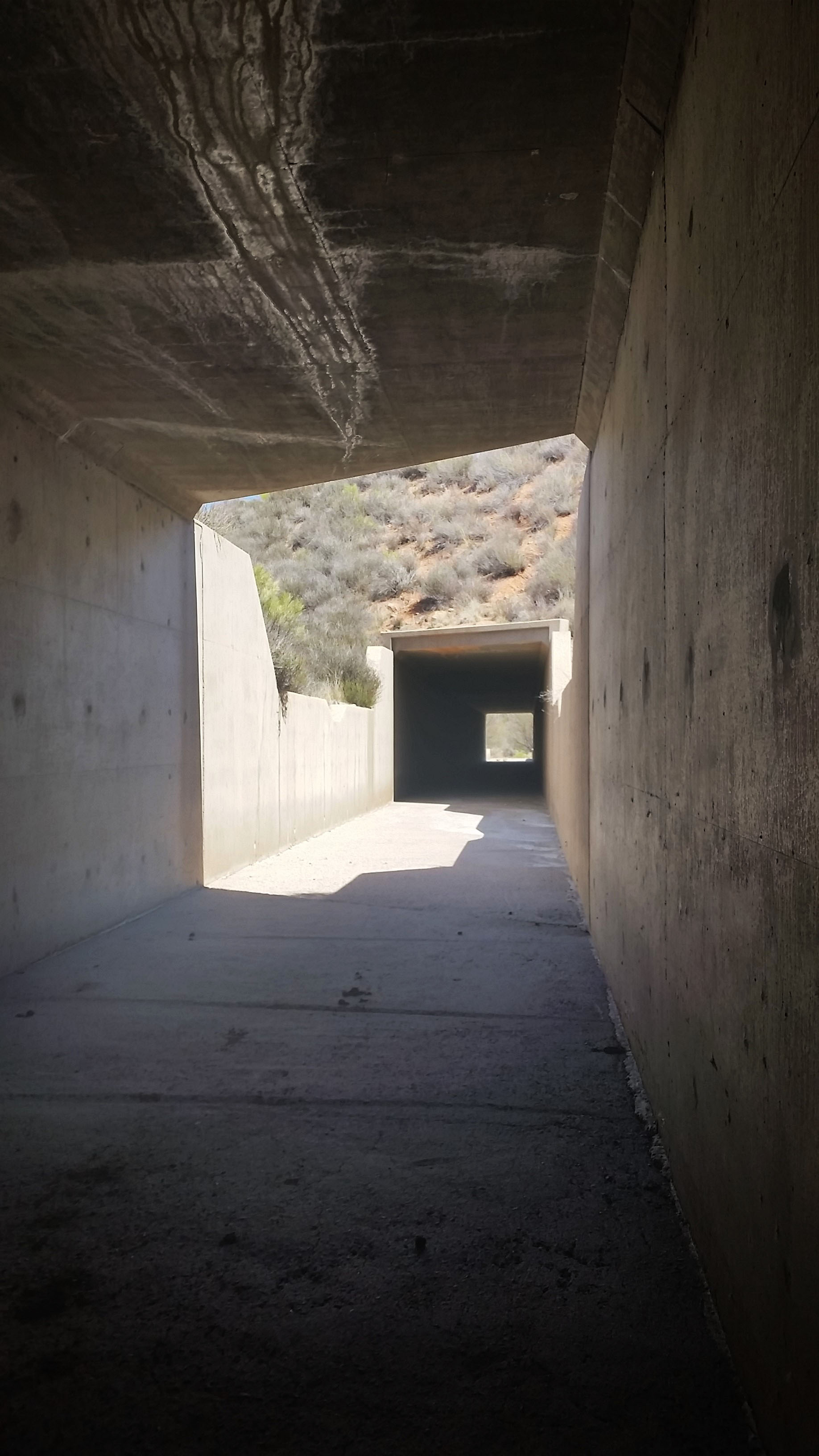
I hiked on until finally passing under the highway which marked the official finish to my Section of the AZT. I had recently completed Section 22 last year, and it was nice to be able to connect the two. I was dirty, smelly, and tired from the two day trek, but otherwise felt great as I approached my truck. Arizona is such a diverse and gorgeous place. There is so much to see and experience out there, and there is no better way to see it than walking every inch on the AZT (even if you have to section hike it)!

20160320_134514
The Finish Line (for now)! !
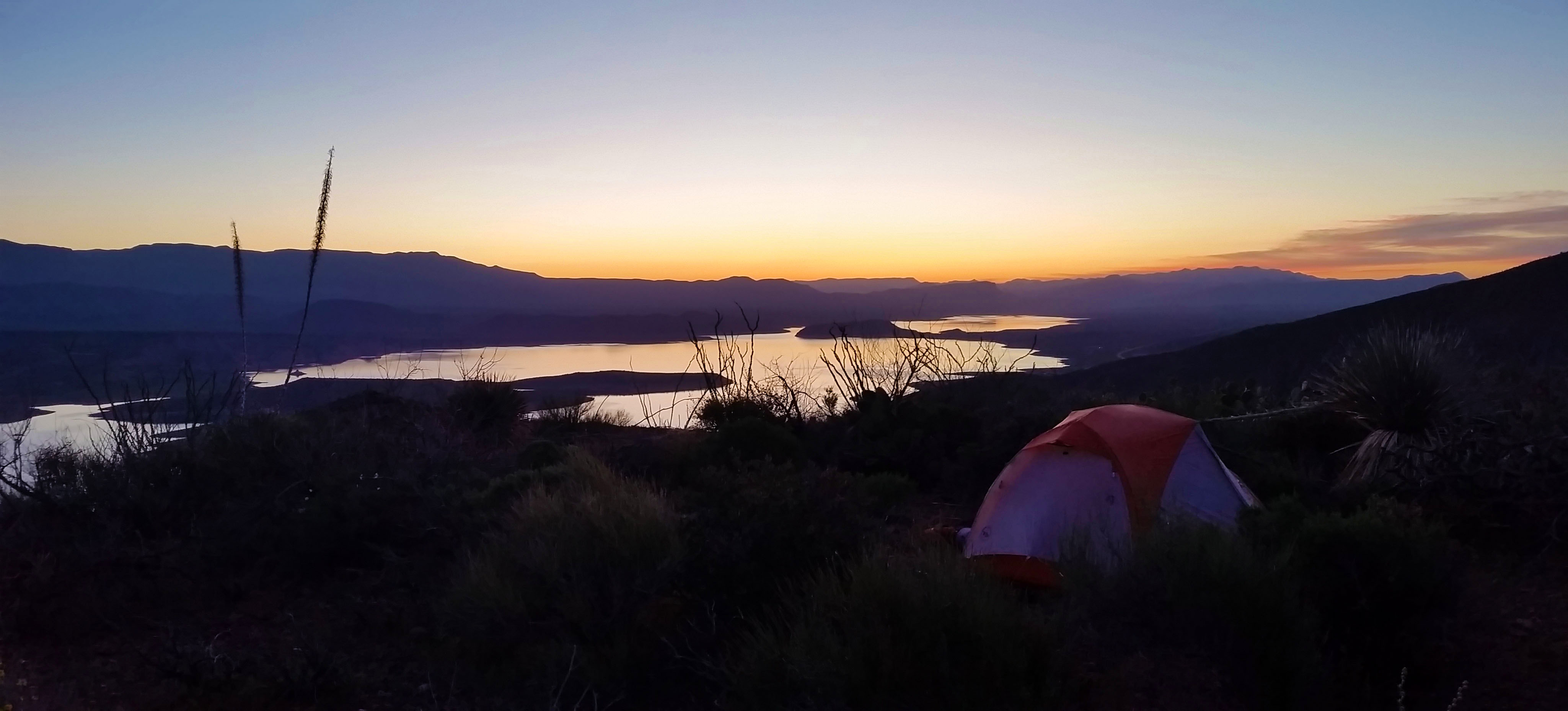
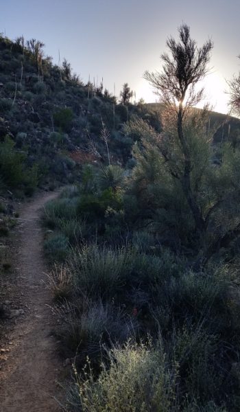
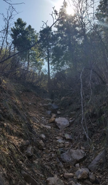
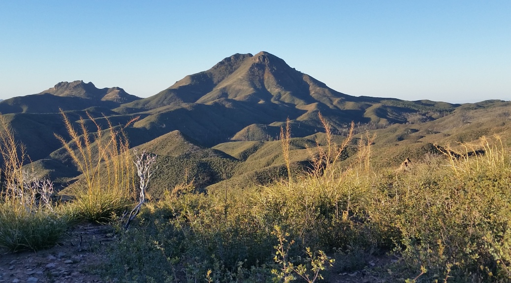
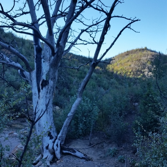
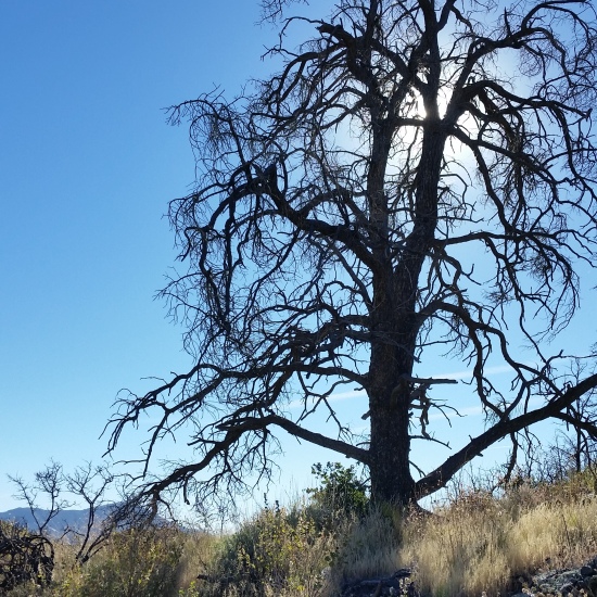
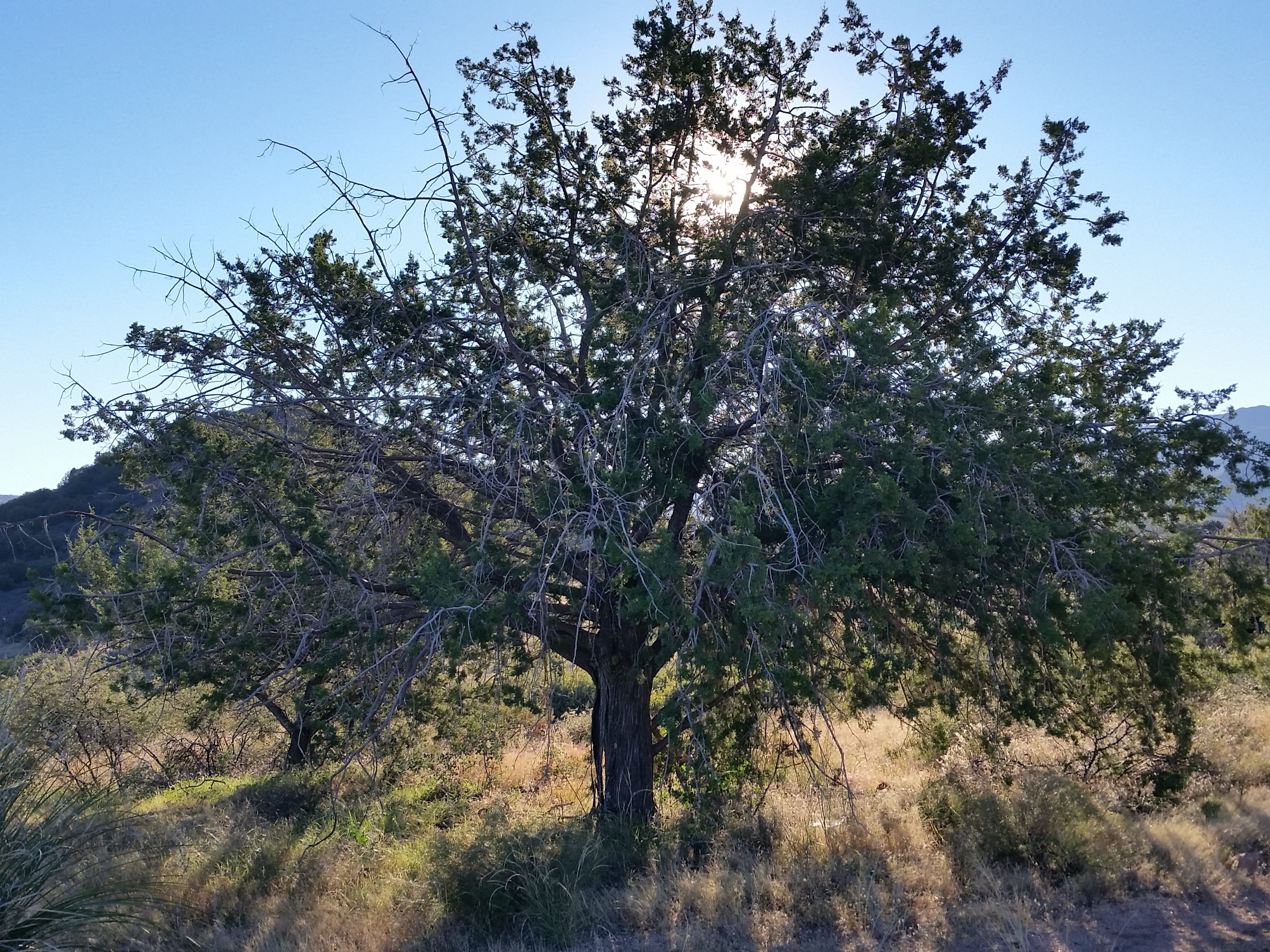
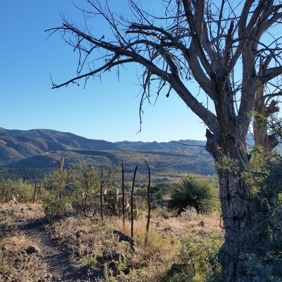
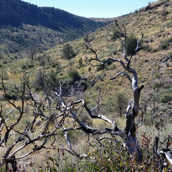
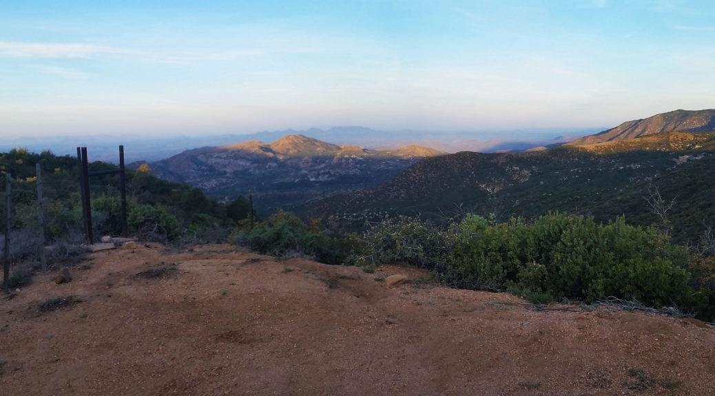
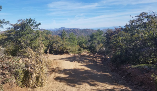
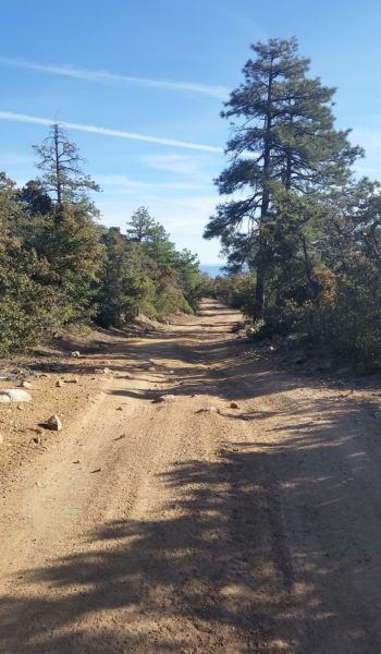
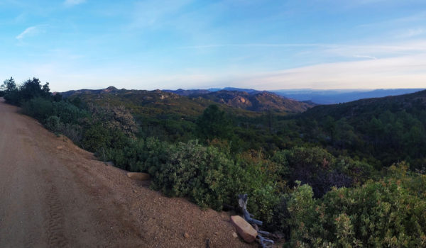
  • Golden light in the morning
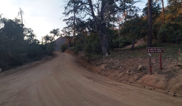
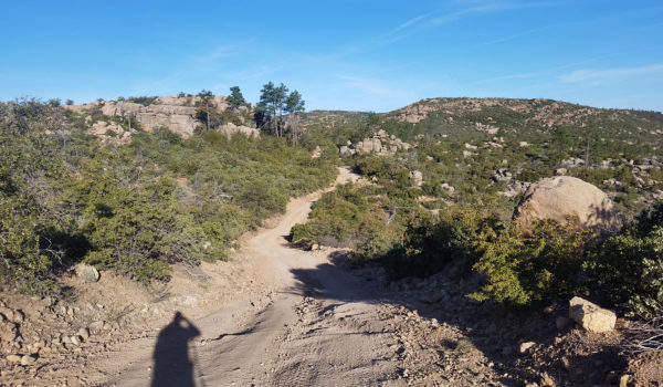
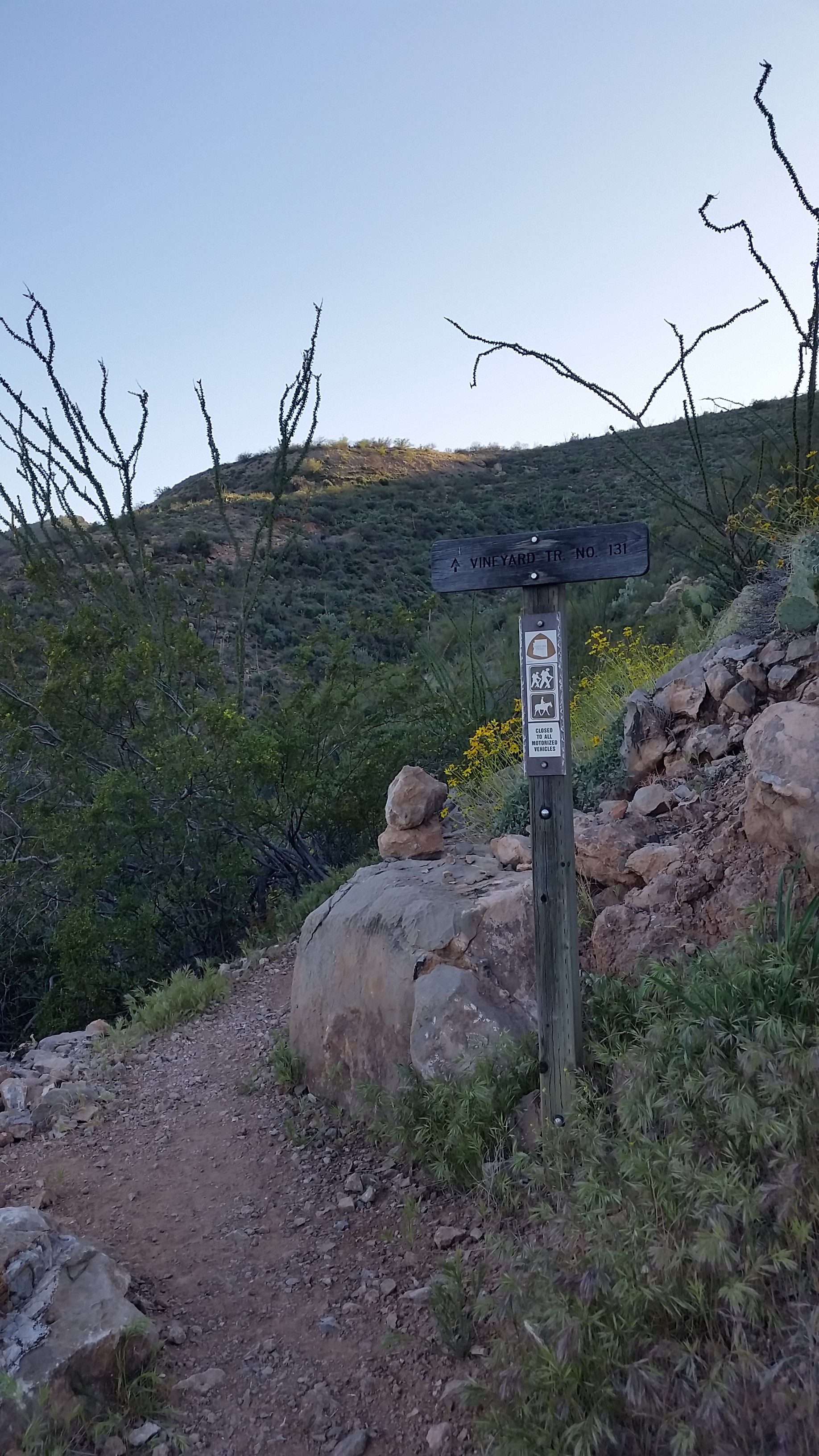
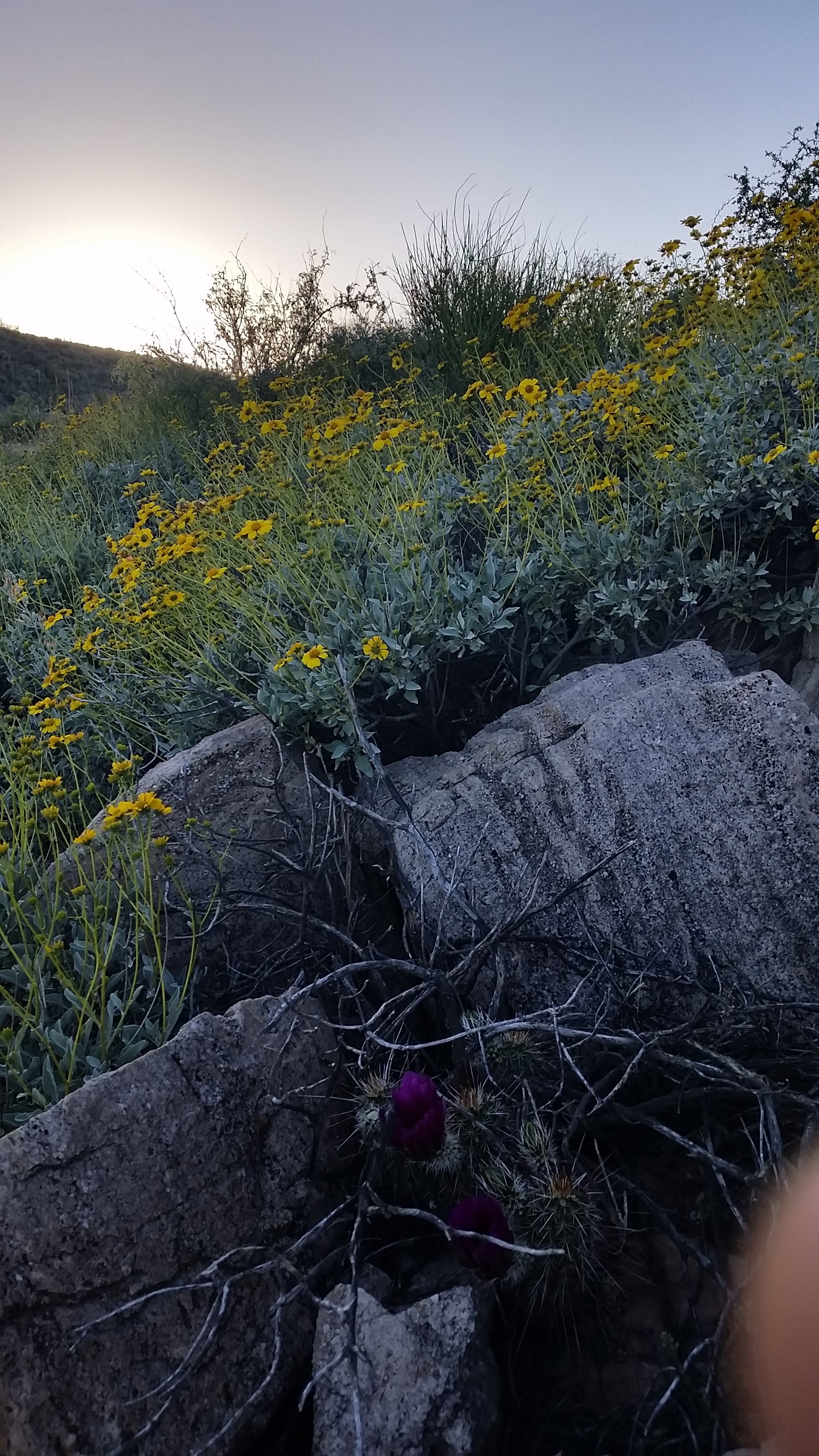
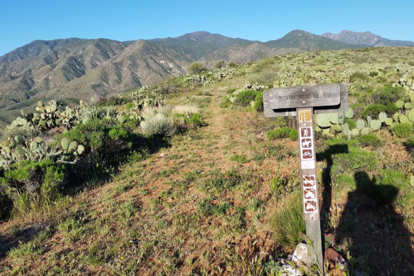
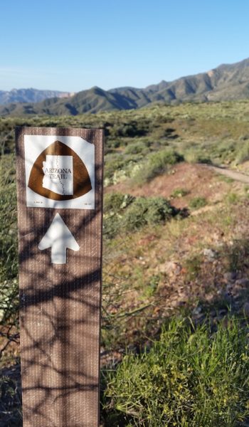
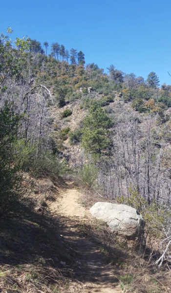
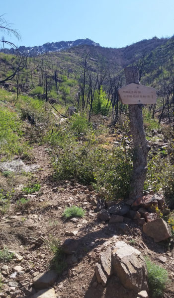
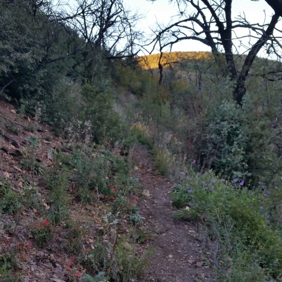
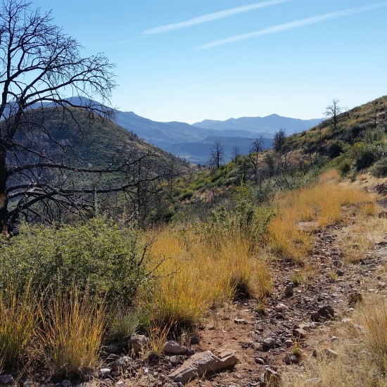
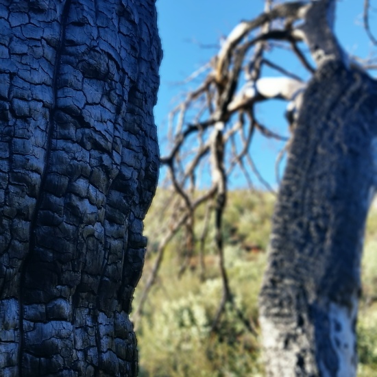
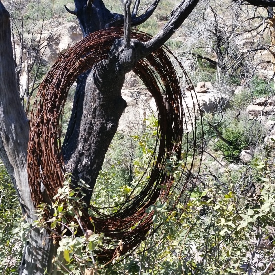
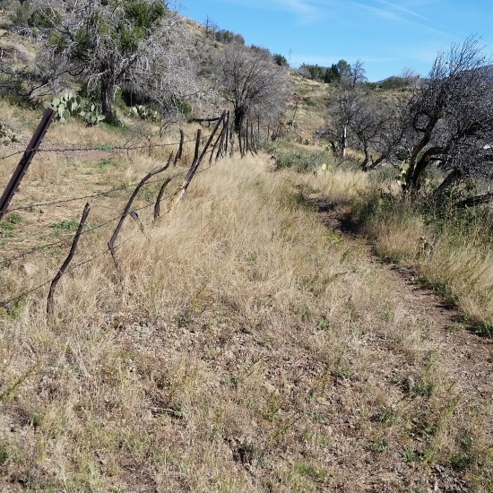
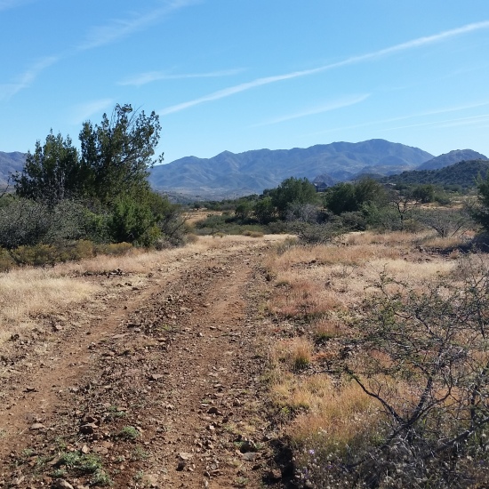
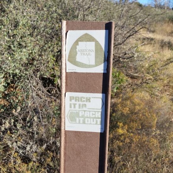
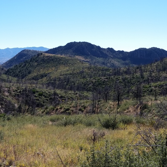
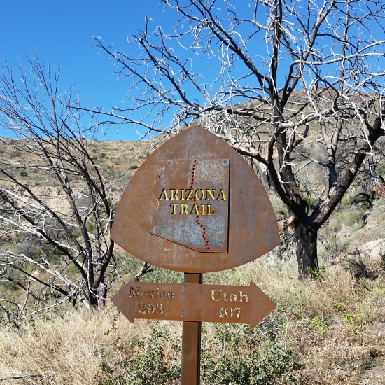
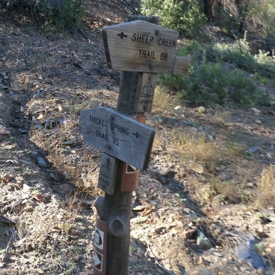
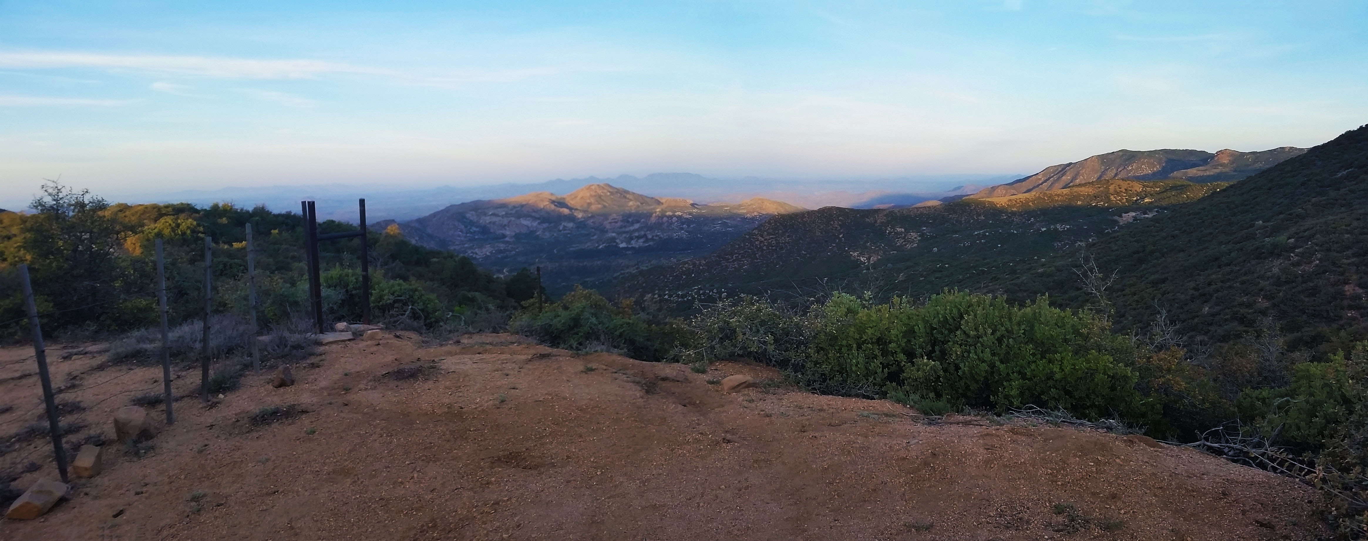
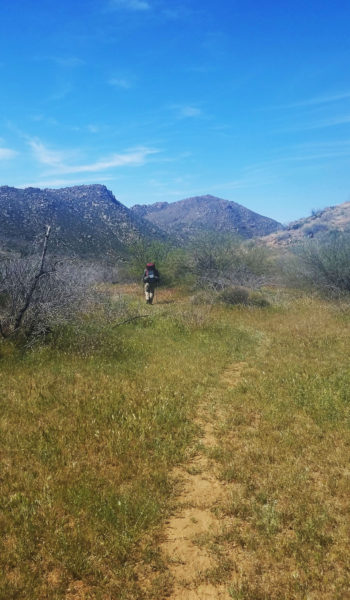
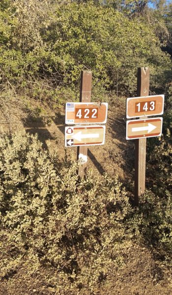
  • Which way to go???

HIKE INFO: http://hikearizona.com/decoder.php?ZTN=2435

HIKE STATS:

  • Weather: Hi in low 80s, Low in the 50s, Sunny
  • Water: 3 Liters (including breakfast)
  • Food: 1 Power Bar, 1 Clif Builder Bar, 1 Granola Bar, 1 Protien bars, 1 Clif Bars, 1 Kind Bars, 1/2 bag of pringles, 1/2 bag of trail mix, 1 bag of Quinoa, 1 Oatmeal, 1/2 Avocado, 1 Pear, 1/2 bag of gummy worms, 2 bgas of Welches gummys, 1/2 bag of jerky, 1 Mountain House.
  • Time: 8 hours
  • Distance: 19.8 miles
  • Accumulated Gain: ~700 feet (loss of 2,200 feet)

GEAR:

  • 58 liter exos osprey backpack
  • Big Anges Copper Spur UL2 tent
  • Flash REI sleeping pad
  • Cosmic Down Kelty Sleeping Bag (rated to 20 deg F)
  • Jet Boil – Sol
  • Black Diamond trekking poles
  • Sawyer Squeeze Filter
  • SPOT Gen3 Tracker

CLOTHING:

  • Smart wool 195 long sleeve shirt
  • Arc’teryx hoody
  • Patagonia Pants
  • Merrell Mid Moab Hiking Boots
  • Darn Tough wool medium weight socks
  • Threadless hoody
Share

AZT #20 – Four Peak Wilderness – AZ (3.19.16)

Share

20160318_171520

Once again I found myself on a Friday post-work drive to a trailhead. This time my buddy Stevo was gracious enough to help me set up the shuttle trek which put me in position to take down two sections of the AZT in one weekend! The plan was to drive to Sunflower first and dump my truck.  I would then hop in his car and we would circumvent the Four Peaks Wilderness back to “the Bridge” on the west side of Roosevelt Lake, where it feeds the Apache, Canyon, and Saguaro Lakes via the Salt River.

Untitled_Panorama1
View over Roosevelt from the trail (Click to enlarge)

All was going to plan as we pulled up to the trailhead just an hour before sunset.  We said our farewells and I stood there, backpack heavy and trekking poles in hand, knowing I had no other choice but to trek 40 miles on the AZT back to my truck.  It’s a funny feeling sometimes when you go backpacking, knowing you have to survive with only what is on your back.  Funny, but also liberating!

20160318_171841
Vinyard 131, lets get to work!

I took my first steps on the AZT at Vineyard Trail #131, anxious to get started. The trail took no time at all getting some quick gain up over the lake for some gorgeous sunset views.  I pushed in just over a mile before I found a relatively flat spot just west of Vineyard Mountain (not much to choose from out here) to camp and plopped for the night. On the way I figured I would touch off on Inspiration Point to get a nice 360 degree view of the lake and mountains to come, totally worth the side trip! With the tent set up and camp made for the night, I watched the sun set over the lake. What a view!

Untitled_Panorama5
Sunset from Inspiration Point (Click to enlarge)
Untitled_Panorama7
Sunrise, from camp overlooking Roosevelt Lake

The alarm blasted in my ear, as usual, waking me from my peaceful slumber signaling the time to get moving! Packing up camp in a zombie-like state (its pretty much a brainless task from continued repetition at this point), before I knew it I was already throwing my pack on my back, ready to start the first of two 20 mile days. I pushed out and up a hill as the sun rose, and once again in regular fashion, it took no time to hit some good gain!

20160319_063718
Getting moving, looking back at the sunrise

The trail was lined with freshly blooming yellow flowers, and for a moment I started singing in my head “follow the yellow brick r….” Nope! I’m not going to have that song stuck in my head the rest of the day! I kept tracking on the Vineyard Trail not really knowing what to expect. At first, the trail paralleled the Salt River, high above in the morning before taking a northerly sweep, until finally finding its way through the saguaros jetting up from the grass-fed landscape surrounding the trail. The trail was awesome and I had it all to myself!

20160318_174938
Yellow wild flowers, dont mind the thumb in the lower corner =)
Untitled_Panorama9
Hiking further in, the Salt River dumbing into Apache Lake from Roosevelt

I kept trekking through the morning deeper into the desert, crossing open fields, and just taking in the views. I came across a dirt road, which the AZT followed just briefly before springing back on its own single track. I hiked on, up and though the fields, stumbling upon wild plants, wildflowers, and the occasional wild life. Once again I came upon a road, but this time it was a dead end and a large AZT sign stood next to the trailhead. I had made it to Mills Ridge trailhead! By that time the sun had risen pretty high and the temps had started creeping up, which of course was just in time for the trail to take off in the vertical! Up through high desert grass and Manzanita I pushed, my head down, fighting through the gain and the weight of the pack on my back. It couldn’t last forever, I knew, and finally the trail leveled off. I dropped down into a small canyon, finding a small flowing Buckhorn creek trickling by, and stopped for a much needed rest.

20160319_070423
My Target, from a far, 4 peaks!
20160319_080448
On Vineyard trail, just before Mills Ridge (click to enlarge)
20160319_082410
Mills Ridge Trailhead, the trail really took off after this

Listening to the cool creek trickle by made me forget about the sun beating down on my head as I opened a bag of Quinoa and began munching down. Snack time is always welcome on the trail, everything always seems to taste that much better when you are on a long haul. I knew I couldn’t sit there all day though, so I stood, threw my food back in my pack, and pushed up the next ridge.  I caught glimpses of Roosevelt Lake as a hit a few switchbacks, it seemed so far away now.  I popped up over another ridge and saw my first real sights of Four Peaks. They were poking out from the hills ahead as though it were playing peek-a-boo. All I thought was “I’m coming for you fellas!”.

20160319_104543
Peek-a-boo! Here I come!

I was up in the best of the Manzanita at this point, skirting the mountains, not another soul in sight.  I turned a corner and saw pines and it put a big grin on my face! I was getting closer to my goal and I decided to take another quick break. Looking up, I watched a few screeching eagles circling back and forth overhead.  I figured there must have been a nest nearby, and I continued to rest in the shade of the pines.  Being outside all day by yourself brings you to a good calm place, and sometimes you need to disconnect with civilization and reconnect with nature.

20160319_131313
Trailside Cactus in bloom
Untitled_Panorama13
Beautiful Pines! Definitely a change form the desert below

It was go time once again.  I passed Black Bear Saddle, grey rock jetting up from the surrounding Manzanita, and started skirting the back side of the peaks. The trail was tight and hardly traveled, and the drop-off became more severe as I got closer to the peaks. After rounding a corner, I hit trees again and an open grass meadow. I knew I was getting closer to the end of the day’s journey. Trekking along, tired from the day, I crossed a few rolling creeks. Shake Spring was rolling well and Bear Spring had a nice trickle. As I reached Pigeon Springs though, I wished that I had filtered at one of the previous two as Pigeon wasn’t flowing.  It was barely a dribble, two murky concrete troughs that had bugs, leaves, and god knows what else swimming around.  I had trekked too far to go back, though, so I selected the lesser of the two evils and filtered. That “tasty” flavor came through a little bit, but flowing water in Arizona is hard to come by and I was grateful to get what I could!

Untitled_Panorama14
Getting closer
20160319_131857
Nearing the final skirt

I set up camp just a half mile up from the spring. I didn’t want to be right next to a water source just in case some wildlife came in late for a sip. Exhausted, I fixed up a mountain house and had a small fire in a nearby pit. I didn’t see a soul all day, and I couldn’t have been happier. I bedded down after my meal and crashed like a tranquilized wildebeest. It was a long day, but the trip was only half over. I love Arizona, and the Arizona Trail is a great way to really experience what it has to offer.

  • Oh Sunrise, how awesome you are!
  • Push on!

HIKE INFO: http://hikearizona.com/decoder.php?ZTN=2434

HIKE STATS:

  • Weather: Hi in low 80s, Low in the 50s, Sunny
  • Water: 5 Liters (including meals)
  • Food: 1 Power Bar, 1 Clif Builder Bar, 1 Granola Bar, 1 Protien bars, 1 Clif Bars, 1 Kind Bars, 1/2 bag of pringles, 1/2 bag of trail mix, 1 bag of Quinoa, 1 Oatmeal, 1/2 Avocado, 1 Pear, 1/2 bag of gummy worms, 2 bgas of Welches gummys, 1/2 bag of jerky, 1 Mountain House.
  • Time: 10 hours
  • Distance: 19.5 miles
  • Accumulated Gain: 7,000 feet

GEAR:

  • 58 liter exos osprey backpack
  • Big Anges Copper Spur UL2 tent
  • Flash REI sleeping pad
  • Cosmic Down Kelty Sleeping Bag (rated to 20 deg F)
  • Jet Boil – Sol
  • Black Diamond trekking poles
  • Sawyer Squeeze Filter
  • SPOT Gen3 Tracker

CLOTHING:

  • Smart wool 195 long sleeve shirt
  • Arc’teryx hoody
  • Patagonia Pants
  • Merrell Mid Moab Hiking Boots
  • Darn Tough wool medium weight socks
  • Threadless hoody
Share

AZT #22 – Day 2of2 – Saddle Mountain in the Mazatzal Mountains (11.08.14 – 11.09.14)

Share

20141109_072513

I woke in the middle of the night to a noise outside my tent. My tent was sent up at a trailhead flat downhill from the entry road. Out of the corner of my eye I see a bright light approaching my tent and I immediately became very awake and alert. The light came down the hill and hovered right over my tent. I grabbed my Kabar knife and strapped my headlamp on. Taking a deep breath I grabbed the tent zipper and like lighting pulled the zipper open and came out ready to face whoever was on the other side. To my surprise I was faced with a huge big bright moon . . . I felt pretty silly.

The moon just so happened to rise just over the entry road and the noise I head was the wind pushing on the sides of my tent. I went back to sleep and was woken again by the sound of my alarm going off. Today I had to boogy out of the mountains and get back home for a dose of reality that the work week was quickly approaching. I got up, packed up the sleeping gear, and made breakfast. Soon I was putting the last bit of my camp into my backpack and throwing on some sunscreen for the day to come. It was still dark out but it was time to boogy on!

Morning!
Morning!

I headed back to my truck the same way I came in, this trek has so many open mind blowing views! I saw not a soul on the trail until about 6 hours into my trek when came across the trail maintenance crew who I had seen the day before. They were taking the afternoon to do a quick day hike before heading back home. I chatted for a few minutes before tackling the last 6 miles of my journey.

360 at a saddle looking towards Saddle Mountain. Click to enlarge
360 at a saddle looking towards Saddle Mountain. (Click to enlarge)

Lesson learned here: Go prepared! Of course this is common sense, but everyone makes mistakes . . . let just hope the consequences are minor! On this trek I opted to leave my water filter behind and carry all my water for the 2 day journey (8.5 liters of water). I wanted to simulate a similar pack weight for a trip I have been planning for which would require food for 5 days. Long story short, I underestimated my water. I should have carried 10.5 liters and knew it the morning when I woke and broke camp. I was 4.5 miles out when I sucked down the last drop of water from my osprey 3 liter bladder. I was 1 o’clock and the sun was high, and temps were much warmer than the day before.  My dried mouth and cracking lips for the last stretch of this trip was a reminder that its better to overestimate water consumption. I finished out my trek and got back to the truck where I guzzled a half full warm water bottle I had sitting in the cab of my truck. I was so thankful that I got off trail without getting too dehydrated. After chilling for a minute, I turned the key to my truck, headed for the closest gas station to re-supply on water and gator-aid. Another gorgeous trip completed!

  • uphill grind in the morning

Hike information: http://hikearizona.com/decoder.php?ZTN=2436

HIKE STATS:

  • Weather: Hi 60s, Low in the upper 40s, Sunny
  • Water: 8.5 liters
  • Food: 2 Nature Valley Peanut butter granola bar, 2 Clif Bars, 1 Clif Builder bar, 1 Meal replacement protein bar, 2 Nature Valley Protien bars, 1 bag of beef jerky (3oz), 1 avocado, 1 via starbucks instant coffee, 1 Quaker Real Medleys, 1 Mountain House Beef Stew meal
  • Time: 8 hours day 1, 7 hours day 2
  • Distance:16.5 Miles one way

GEAR:

  • 58 liter exos osprey backpack
  • Big Anges UL2 tent
  • Flash REI sleeping pad
  • Cosmic Down Kelty Sleeping Bag (rated to 20 deg F)
  • Jet Boil – Sol
  • Black Daimond trekking poles
  • No water filter – I carried all my water in (8.5 liters – I should have brought 10) to train for a hike coming up where I would be carrying a lot of excess weight. Advise: Bring a filter! There are creeks and opportunities to use it.


Share

AZT #22 – Day 1of2 – Saddle Mountain in the Mazatzal Mountains (11.08.14 – 11.09.14)

Share

20141108_081642

The AZT (Arizona Trail – 800 miles) spanning from Mexico to Utah across the great state of Arizona was added to my list of wish hikes as soon as I found out about it. Unfortunately I don’t have the vacation or off time to be able to through hike it straight for 60 days, so instead I have been section hiking it when I can. I had the opportunity to knock out the 22nd section this weekend and I jumped at the chance!

I dumped my truck right off of Bee line highway 87 Saturday morning and set out on the trail. After navigating a wash that goes under the highway I popped out in rolling hills and wide open views. There are a few cattle gates to navigate, just be sure to leave them as you found them, be it opened or closed. The trek starts flat to begin with on a few 4X4 roads, the pushes you into some canyon washes that are hardly ever traveled. A small creek was running through the wash to my surprise. I pushed through the canyon around a few switchers where I was once again greeted with huge wide open views. There are some power lines here, what seems to be the last sign of civilization looking forward, turning back there are a few small farm houses in sight.

Pushing further on, the trail gets back to single track hopping up on creek banks and back into washes until once again your greeted with huge wide open views and a trail that meanders along through it all. I found myself skirting the lower portion of Saddle Mountain when I came across Kim and Norm, 2 hikers from Phoenix who were turned around and looking for Squaw flats. I was happy to have the company and invited them to join me until we passed their junction. We pushed on as a trio talking about experience in the “hiking business” and how long they have both been at it.

Wide open spaces
Wide open spaces – Saddle Mountain – Click to Enlarge

As the trail skirted further we came across Ranger Mark Suban and his trail maintenance crew of about 8 old and young. I had never seen a crew out working before and was delighted to stop for a second and chat with them and thank them for their service to the AZT. Those guys keep the trail going and it’s always on a volunteer basis!

Incredible views!
Incredible views! click to enlarge

Leaving the maintenance crew behind we trekked on until we found the switch back drop off into a patch of pines where the 3 amigos would split ways. We stopped for a quick lunch and chatted about our jobs and hikes we wish we could do. Soon I packed up and pushed the last 4 miles out to Peeley trail head where I would camp for the night. Those 4 miles were definitely not as forgiving as an easy trail skirt around the base of Saddle Mountain! Drop offs, washes, a section I affectionately call the ‘tunnel of love’ with manzanita and holly bushes surrounding a water channel. Big grind elevation gains with astonishing views and quite a bit of bushwhacking and trail finding through tricky washes finally brought me to the intersection of AZT#22 and #23.

20141108_155622(0)

The Peeley trailhead was just a 0.5 mile push ahead. It was only 4pm by the time I reached it and I was ready to just set up camp, make a Beef Stew Mountain house, and kick back for a bit finally cracking a book I purchased a month ago. What a good first day, as temps began to drop I crawled into my tent and read by headlamp for a few hours until I finally crashed. The next day would mean my return journey back to the truck with another section of the AZT in my pocket. (Post Continued on Day 2/2)

  • Tunnel that goes under highway 87 - this is a portion of the AZT!

Hike information: http://hikearizona.com/decoder.php?ZTN=2436

HIKE STATS:

  • Weather: Hi 60s, Low in the upper 40s, Sunny
  • Water: 8.5 liters
  • Food: 2 Nature Valley Peanut butter granola bar, 2 Clif Bars, 1 Clif Builder bar, 1 Meal replacement protein bar, 2 Nature Valley Protien bars, 1 bag of beef jerky (3oz), 1/2 sandwich ziplock of trail mix, 1 avocado, 1 via Starbucks instant coffee, 1 Quaker Real Medleys, 1 Mountain House Beef Stew meal
  • Time: 8 hours day 1, 7 hours day 2
  • Distance:16.5 Miles one way

GEAR:

  • 58 liter Exos Osprey backpack
  • Big Anges UL2 tent
  • Flash REI sleeping pad
  • Cosmic Down Kelty Sleeping Bag (rated to 20 deg F)
  • Jet Boil – Sol
  • Black Diamond trekking poles
  • No water filter – I carried all my water in (8.5 liters – I should have brought 10) to train for a hike coming up where I would be carrying a lot of excess weight. Advise: Bring a filter! There are creeks and opportunities to use it.
Share