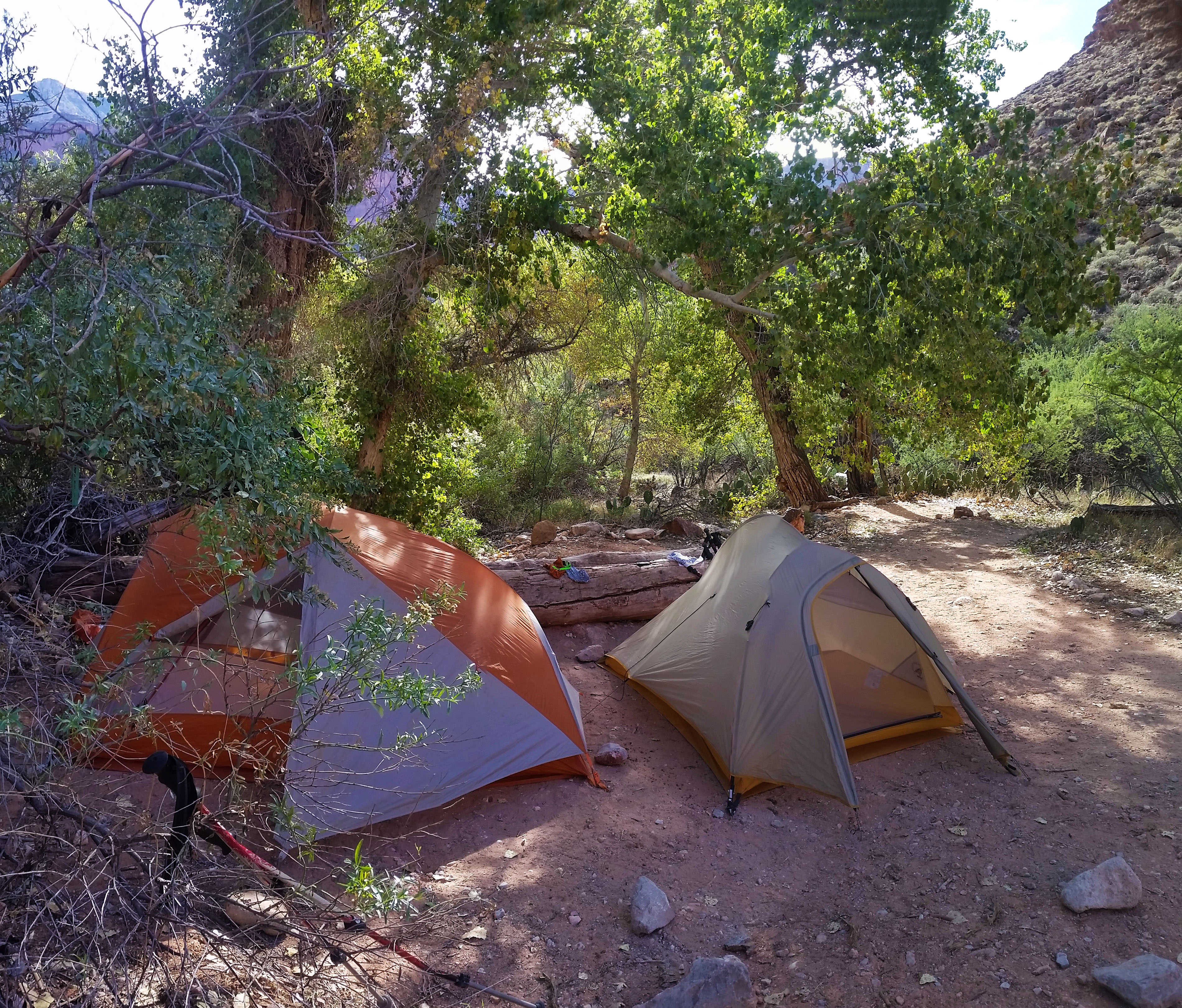

- Day 1: Bill Hall Trail head to Tepeats Cave and Thunder River
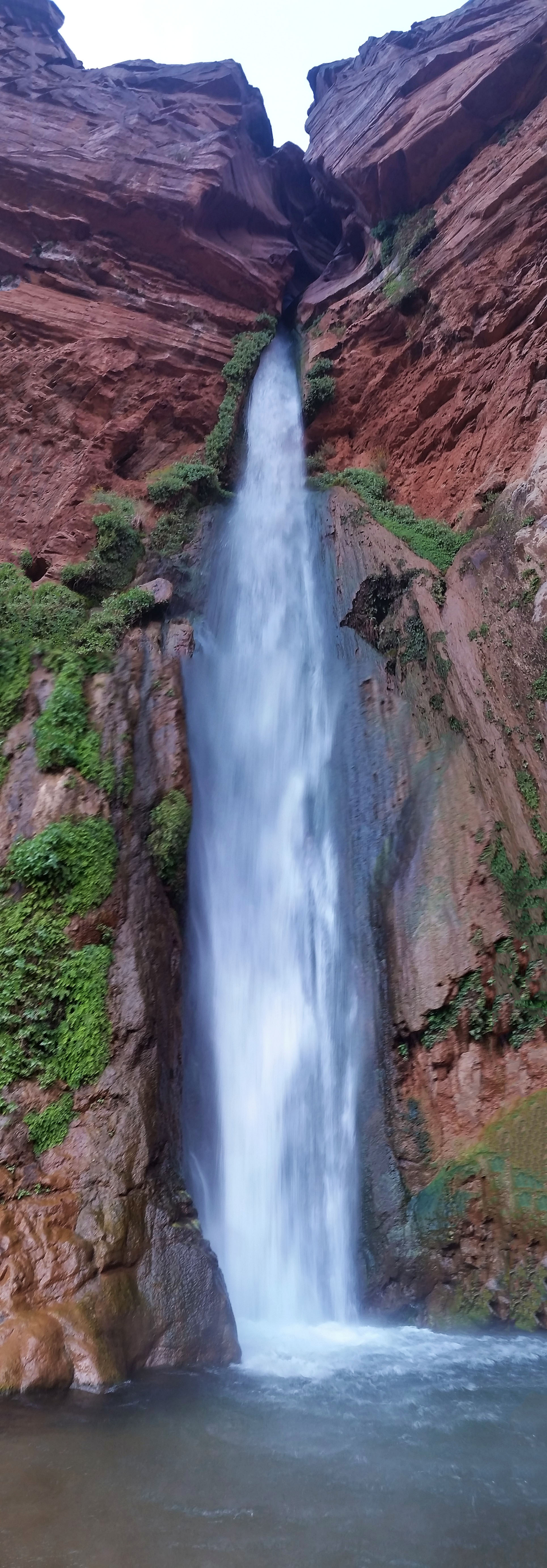
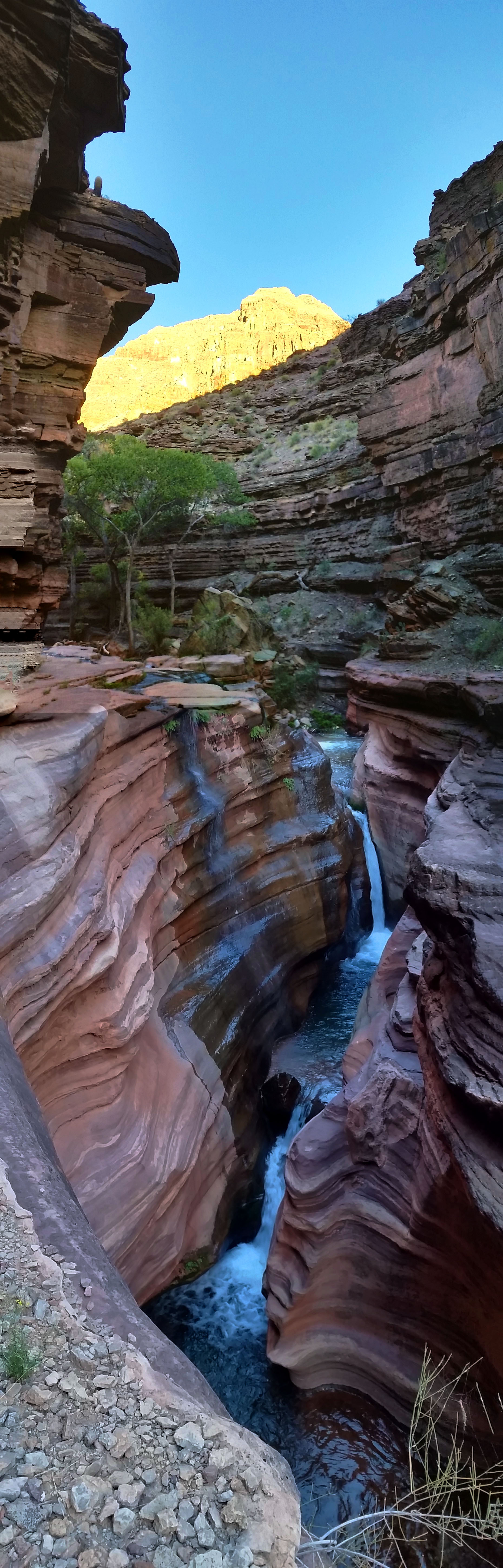
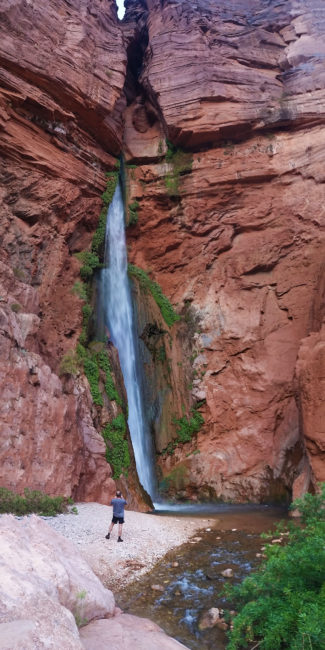
- Day 2: Thunder River to Deer Creek Traverse
- Day 3: Deer Creek to Bill Hall Trailhead
The alarm went off blasting at 3:45am, demanding we get up and get moving. The sun was far from ready to greet us and darkness didn’t provide much encouragement. Stevo was already sitting up in a crouched position gathering his thoughts and gear. “I didn’t sleep too well last night” was about the only thing he said the first 20 minutes. I don’t think any of us did…the night was warm, almost too warm for sleeping bags, and I tossed and turned several times through the night. It was tough getting going and none of us really wanted to leave yet, but there was nothing else to do but suck it up.
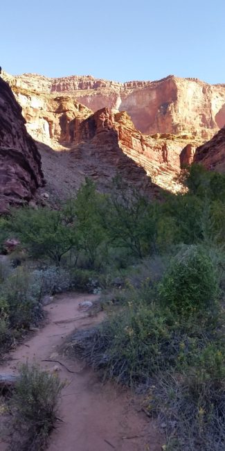
We went through the morning ritual of cooking breakfast and packing for the day. Night hiking is one of things you just get used to out of necessity…getting up for an early hike out, beating the heat, and getting back to Phoenix before midnight was the name of the game. We strapped on our headlamps, packs, and trekking poles and set out. I looked back one last time to admire our vacant camp and reminisced of the last time I had been here the previous year. After taking a moment, I turned and headed up the trail.
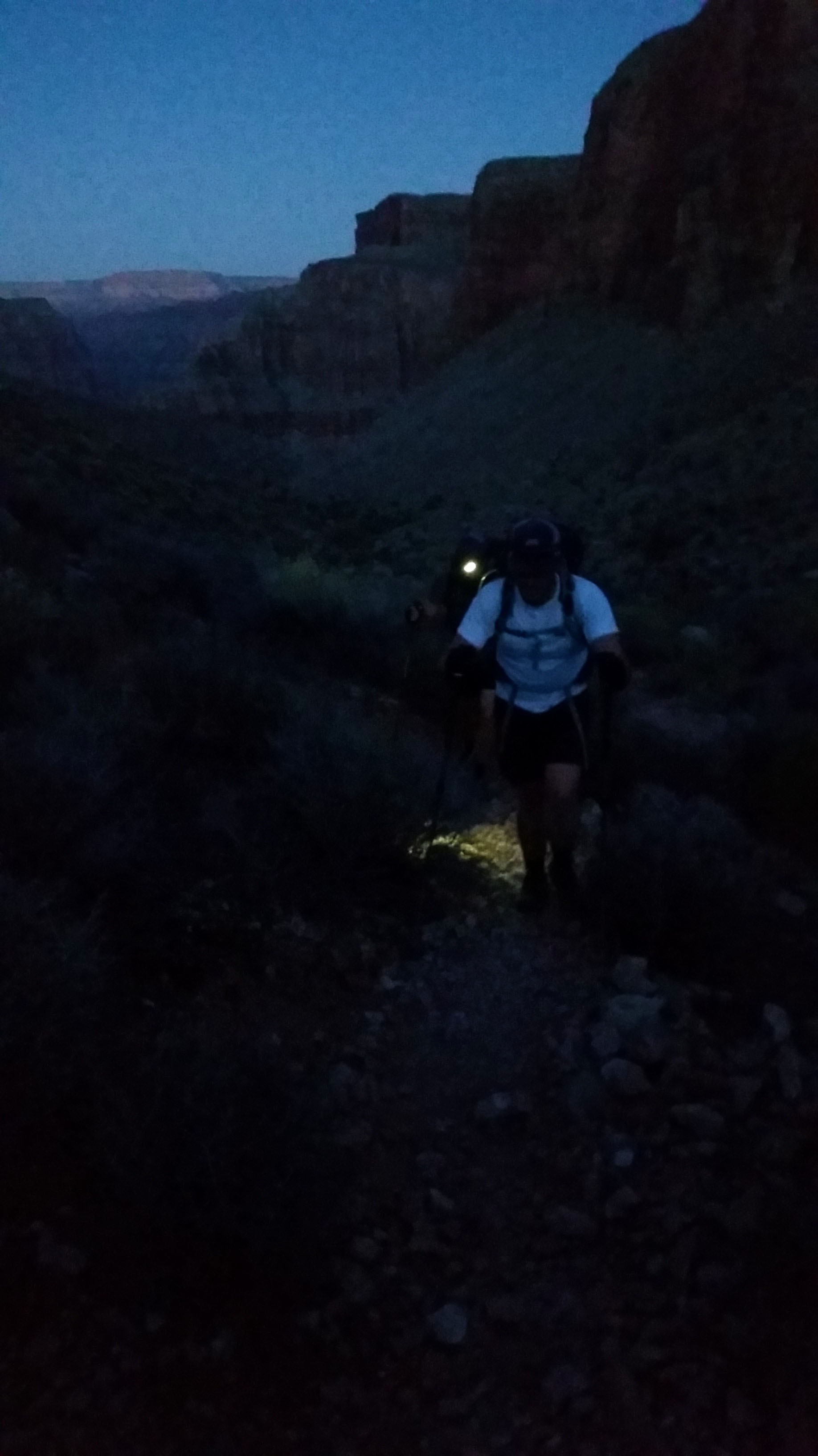
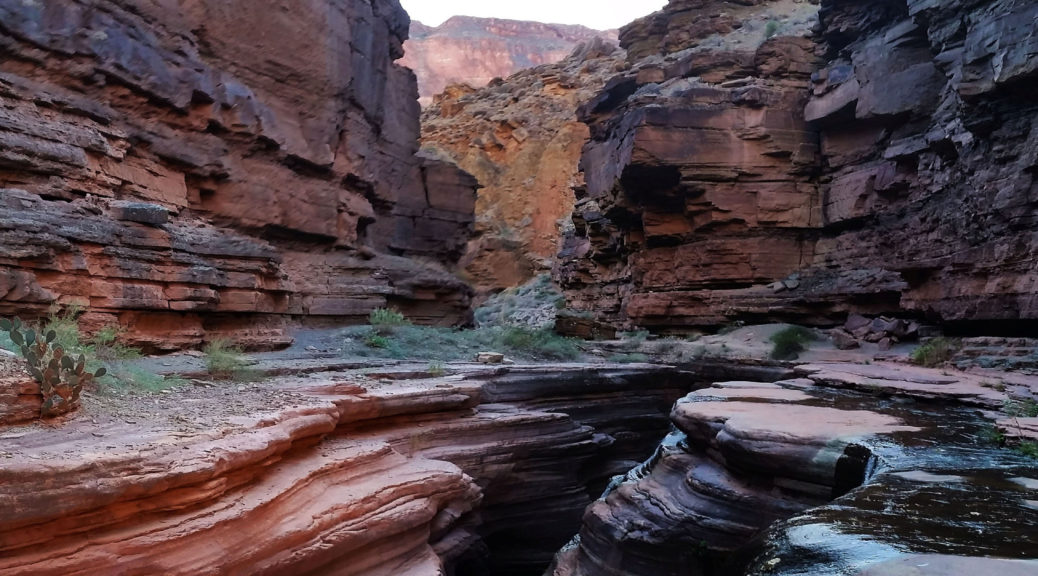
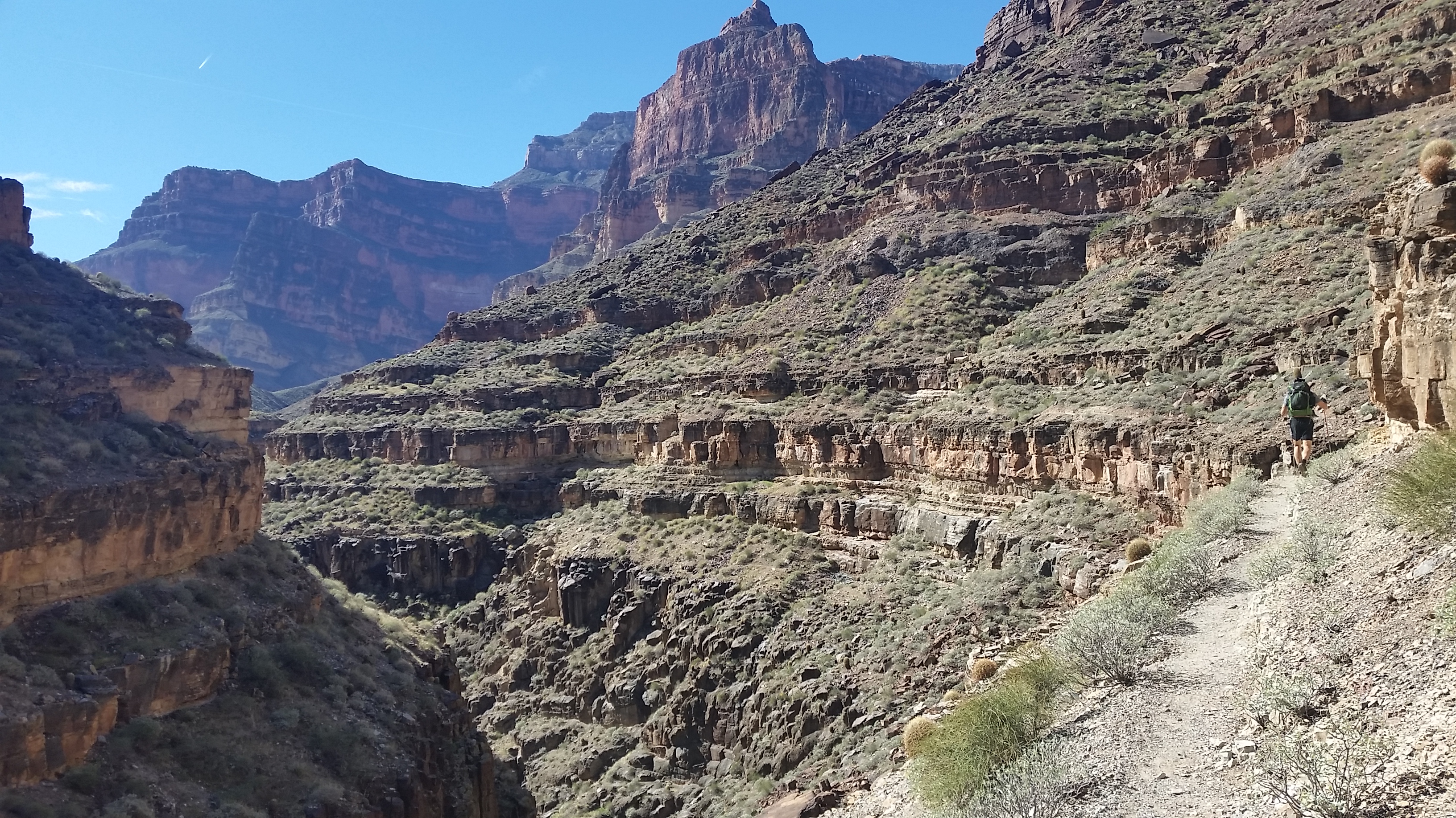
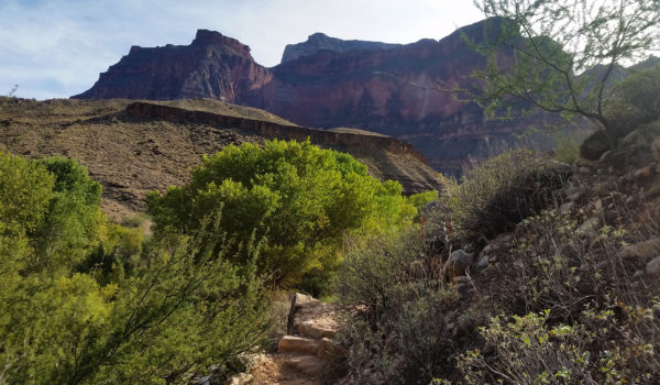
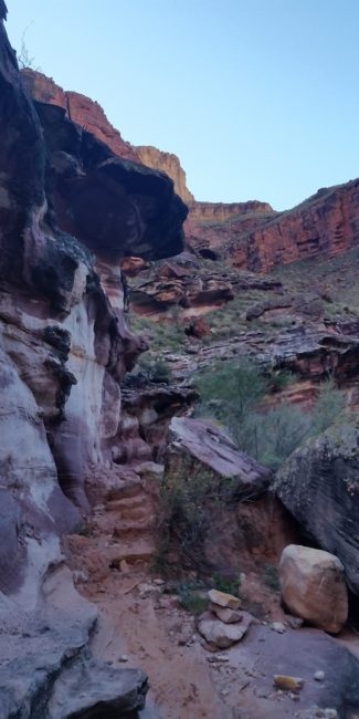
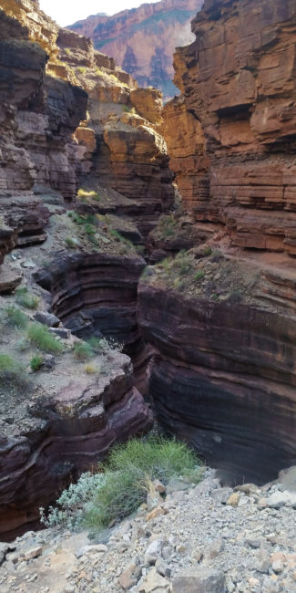
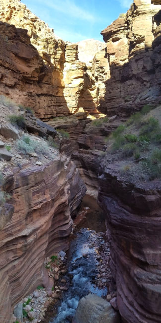
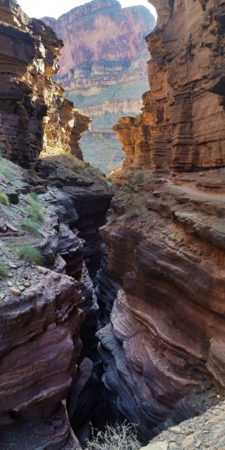
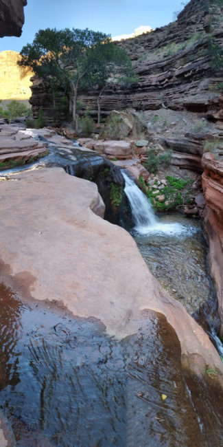
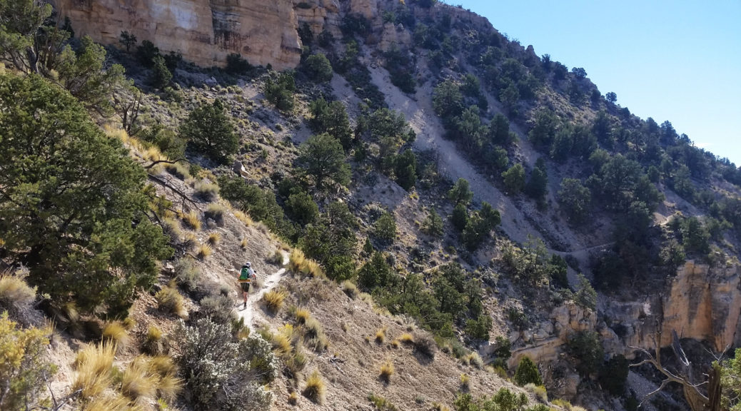
We pushed up the trail hugging the west side of the creek until finally being forced to cross over to the east. From there the trail turned away from the creek and began to climb. We pushed through reeds of the lush foliage lining the creek and were soon back in open desert with cat claw acacia and cactus pleading for us to give them a hug. Pushing on and up through the darkness we ascended the switchbacks and I really started generating heat as we climbed. Soon we hit a switchback, turned right, and began descending across a small wash. “This is strange” I thought as we descended a few more feet. We kept pushing and the hit a rock wall… no way up. We turned and pushed further down . . . cliff. “Something is wrong”, I thought as we continued walking the trail. After some searching, I realized we were at Deer Spring and had taken a wrong turn. We about-faced and headed back the way we came until we found the missing switchback. We were back on pace and back to sweating out the climb.
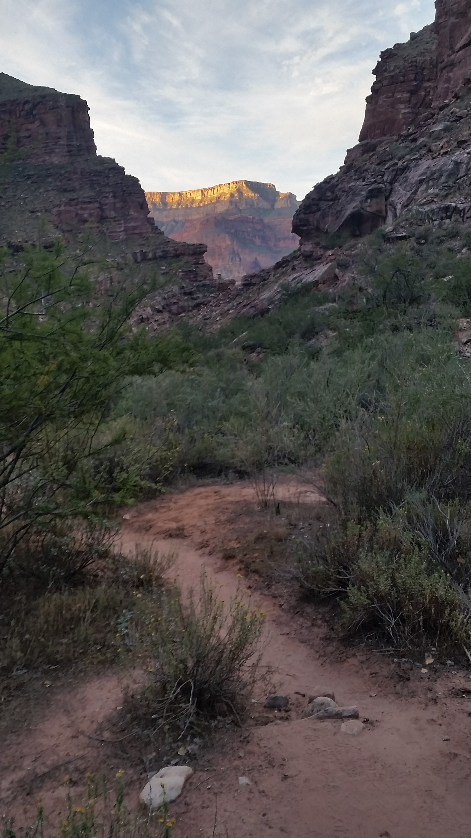
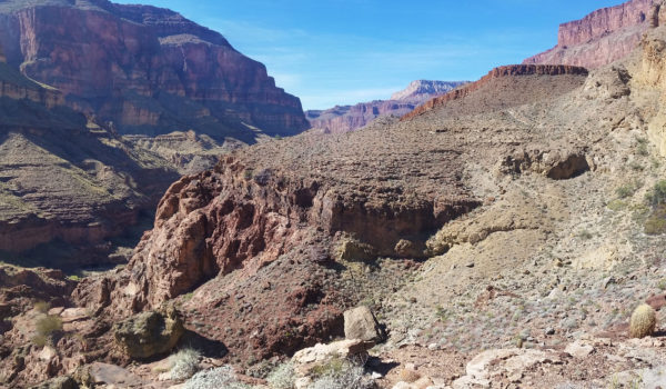
We were soon above the spring, skirting the wall across a narrow trail headed east to Surprise Valley. Our goal was to get out of the valley and atop the red wall before the sun peaked and turned the heat on high. We pushed up and on, hard and fast as the morning’s twilight began. Sweaty and still tired from the restless night we reached the saddle at Surprise Valley and stopped to take in the views. Pulling off our headlamps and prepping for the climb ahead, we looked up at the large amount of gain left in the day. Press on guys! Taking on big gain is almost as enjoyable to me as seeing the views at the top of a climb. We let out, switch backing up the red wall, until finally reaching the head. Out in the open the wind was whipping and as soon as I stopped I pulled my jacket out to keep warm.
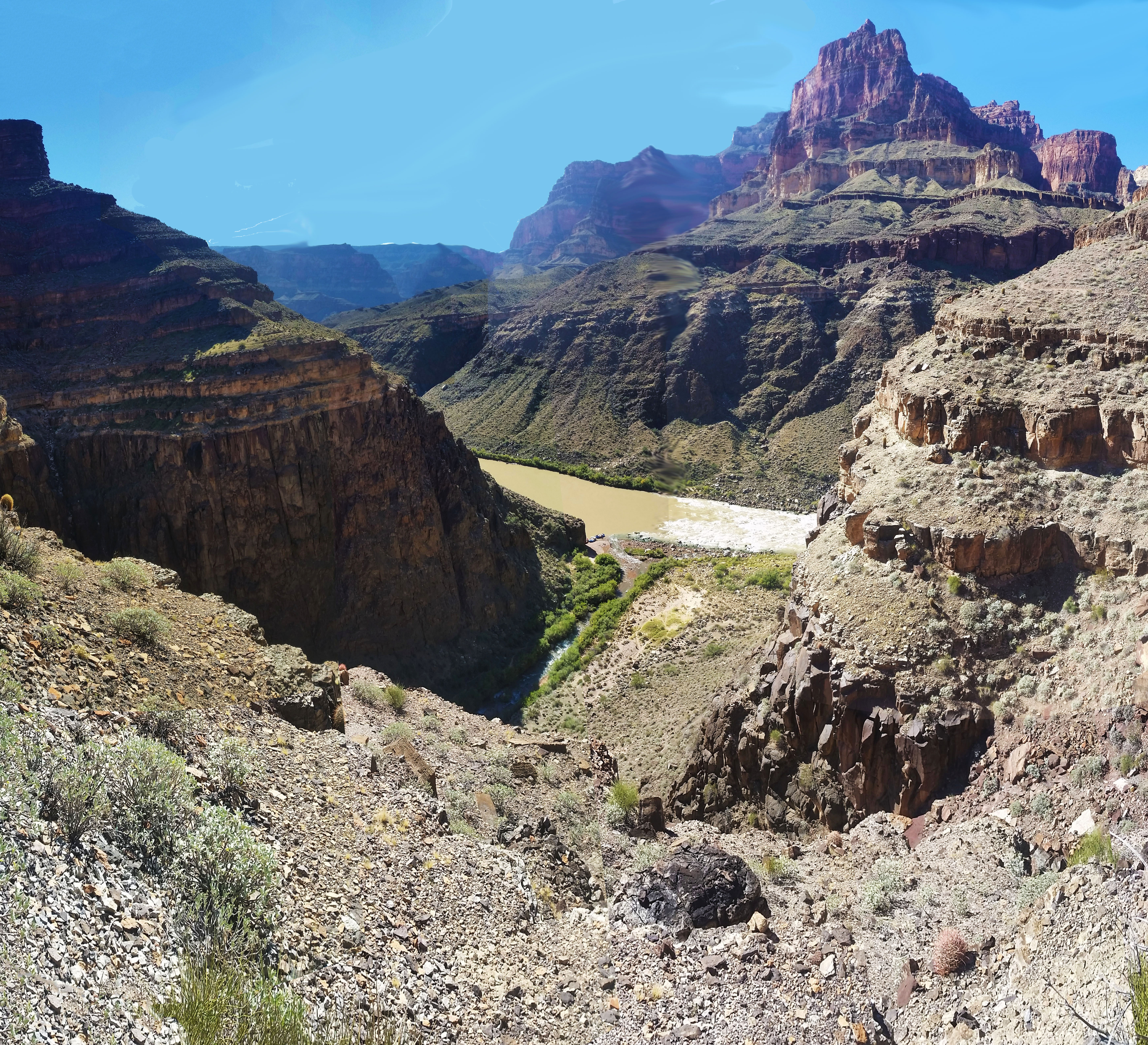
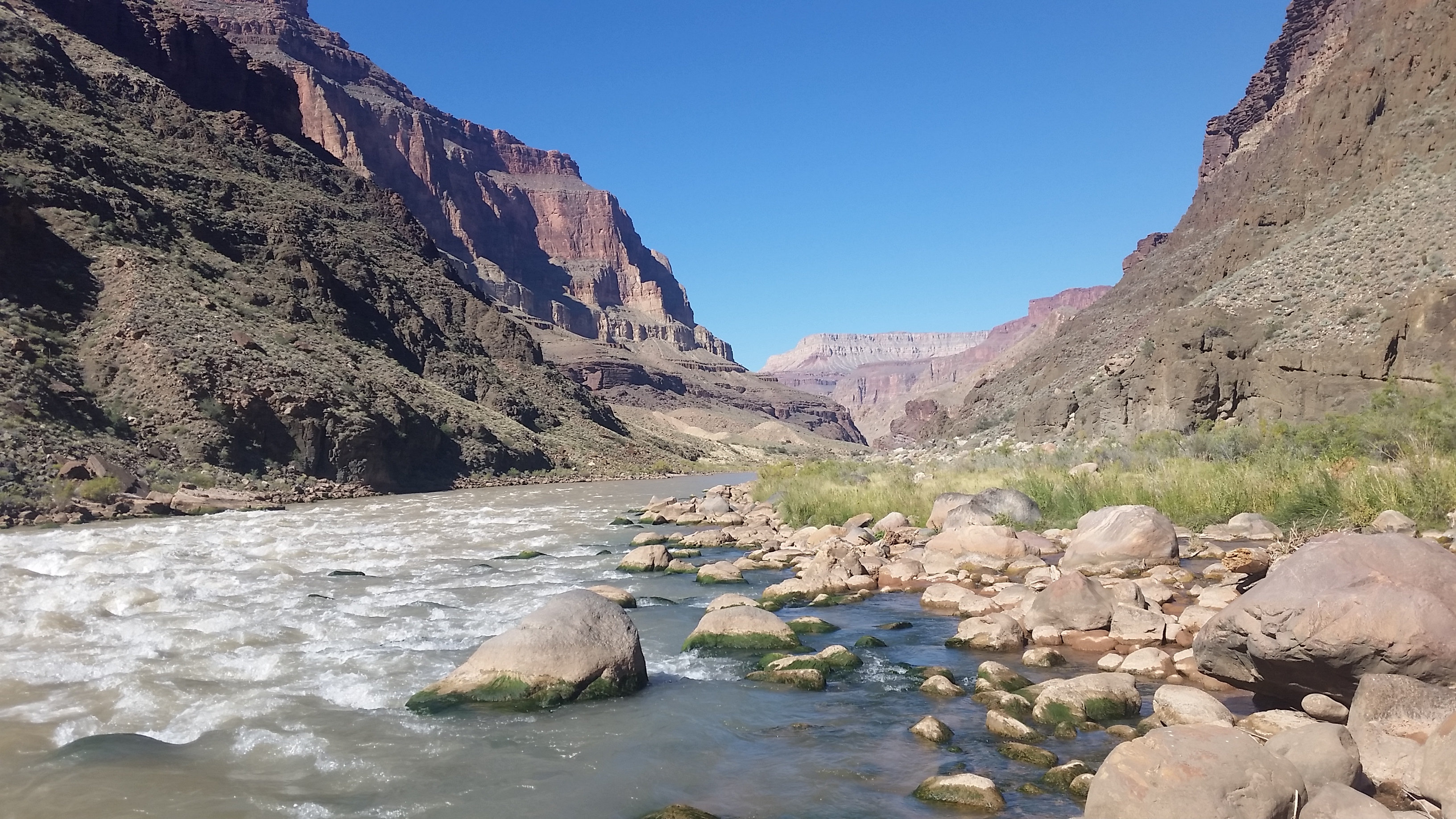
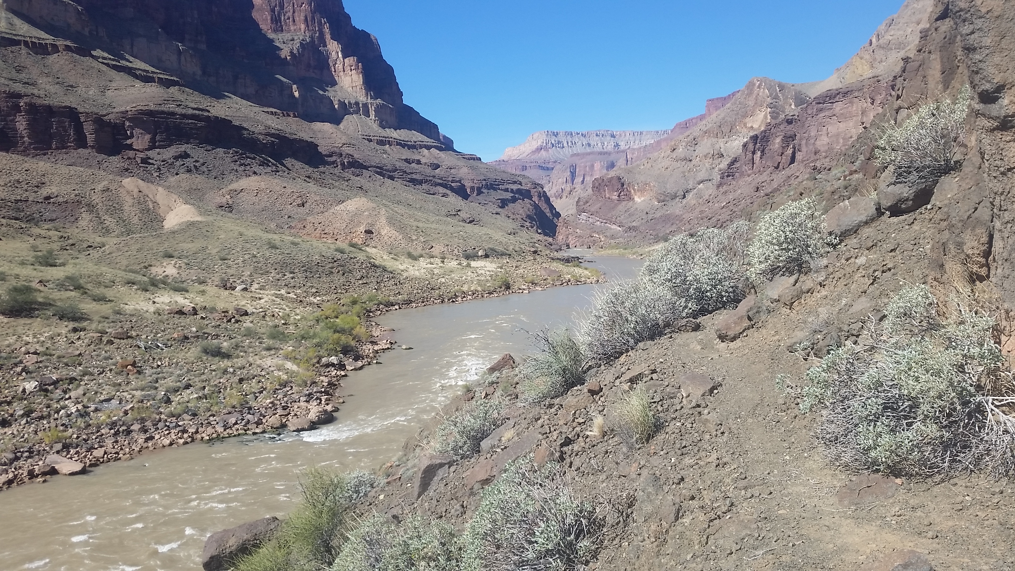
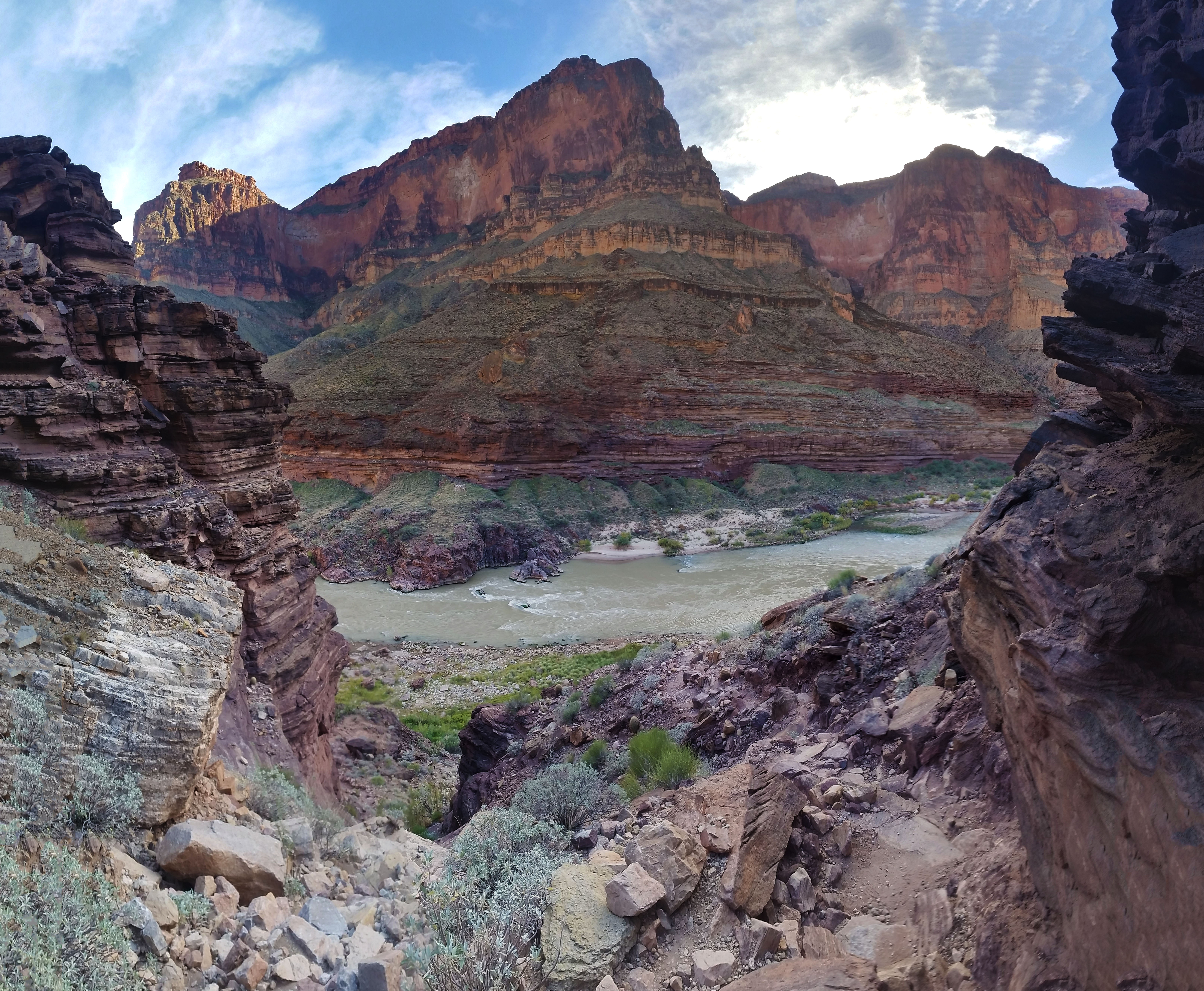
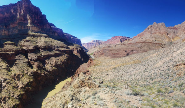
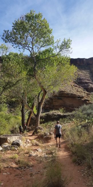
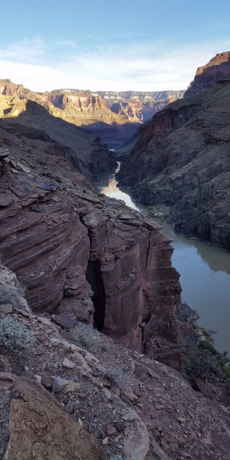
We looked over the valley below, back to the canyon where we slept, and attempted to see the Colorado River with no luck. We had a nice jump on the day by making it to the red wall before the sunlight hit us and the temperatures were good for climbing. We finished our snack break, pulled off our jackets, lathered up with sunscreen, and continued our push across the Escalante and the final ascent towards the rim.
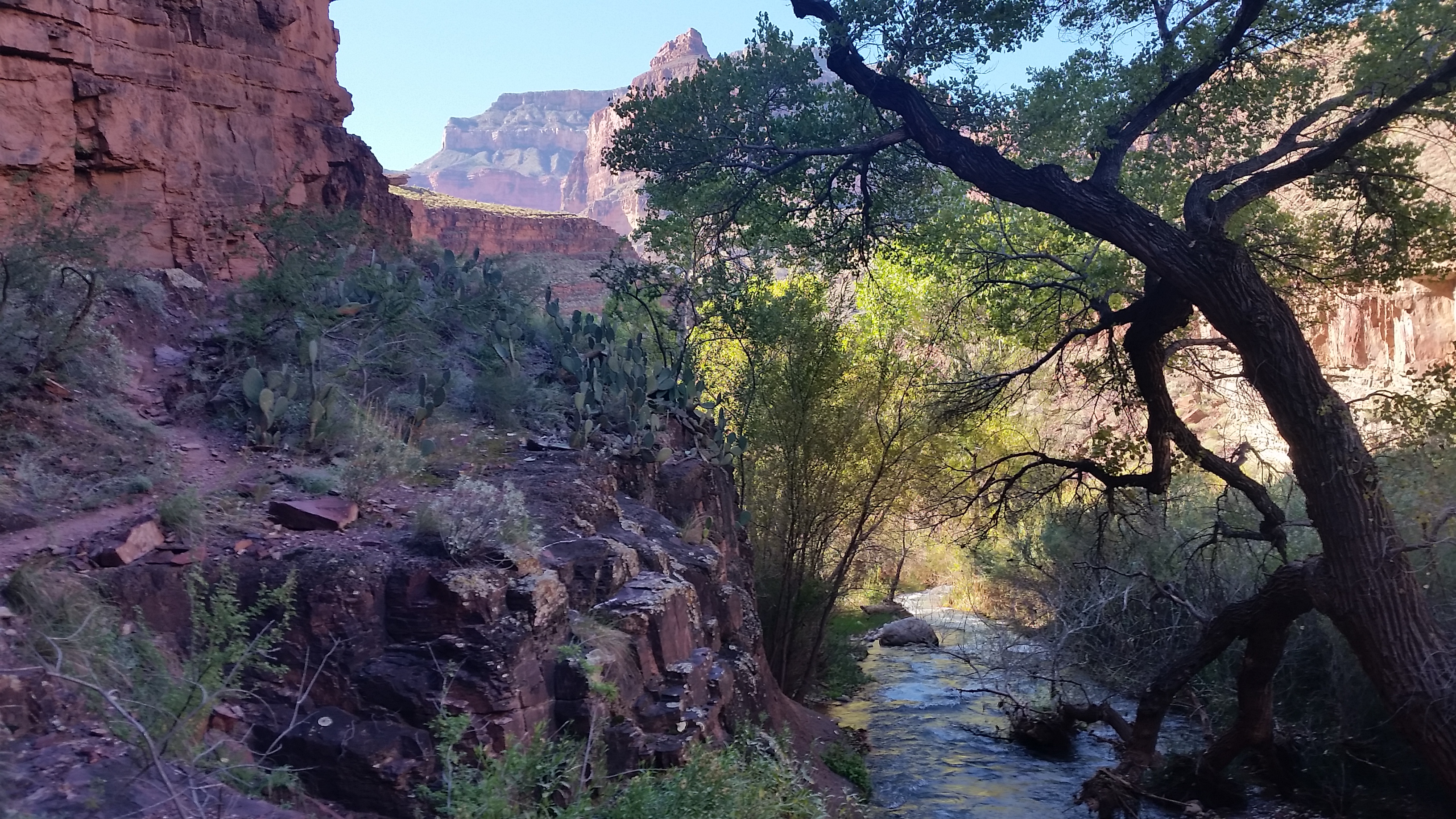
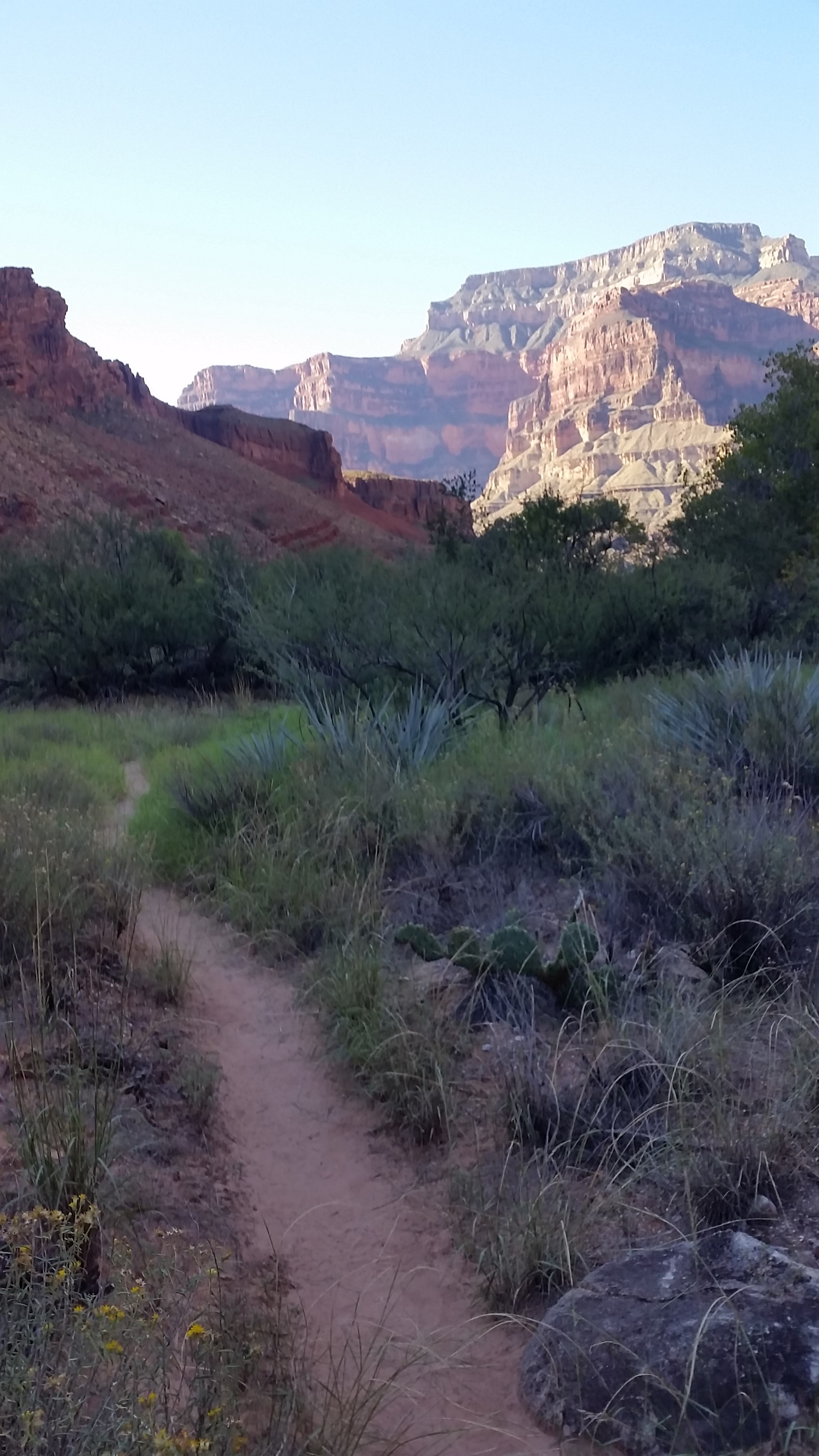
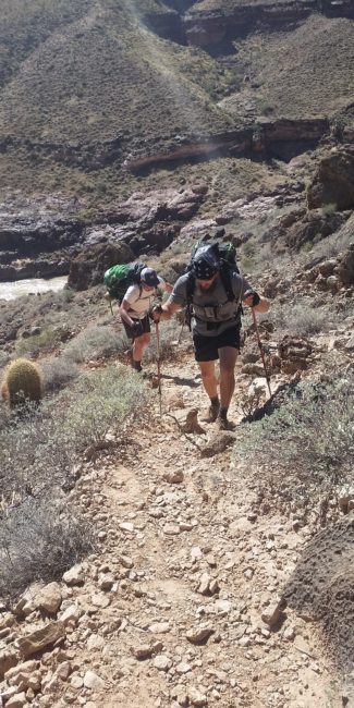
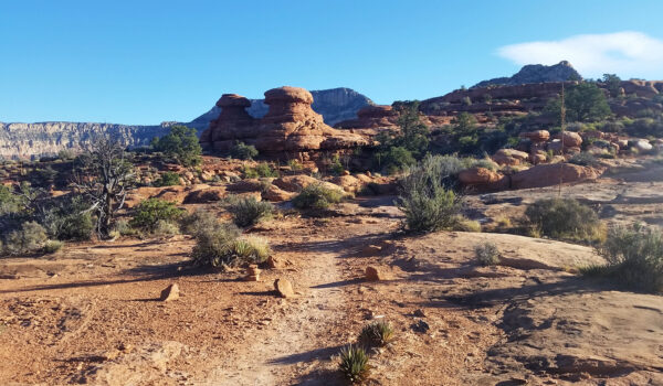
The traverse of the flat Escalante was rather quick and soon it was a trek across the open desert, checking out the sandstone formations as we went. We turned another corner on the trail and the large formation where we stashed water came into view. Breaktime! We had been pushing hard since the top of the red wall at a good clip, so everyone peeled off their bags and tossed them aside for a quick rest. Our water supply of 2 liters from Deer Creek was still going strong so we took a few swigs of our stashed water and dumped the rest. Stevo was still tired from the intermittent night’s sleep and Mark’s shoulders were rubbed red from the older Osprey pack he had packed to the gills for this trip. It seemed as if everyone was ready to just get back to the truck, but a nice 1800 foot climb up the white rocks of Monument Point up Bill Hall Trail and the final decent to the trailhead still stood in the way. We strapped up once again and headed for the final push.
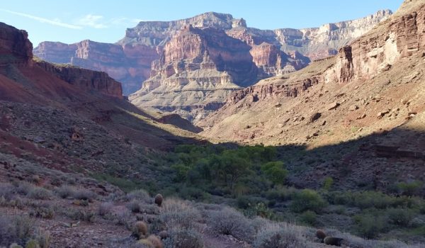
Stevo took lead and started the push up to the white rock faces ahead. This was where everyone went into their suffer cave and huddled in the corner for a while until it was all over. To pass the time I started a conversation about how people have limited time on the earth and how interesting it is that some people work all week just to come outside on the weekend and suffer. There is a price for getting to see cool things like the bottom of the Grand Canyon, mainly 4500 feet of elevation gain inside 10 miles or less. We labored on, pushing hard up the switchbacks until finally reaching the face and plopped down for another quick rest. The views of course were incredible and well worth it. You could hardly make out the canyon where we had started from just hours before.

Once again we saddled up after taking in the views and completed the final push out. We skirted the thin trail on the face until finally pushing up the last set of ascending switchbacks. It was nearly 1pm when we topped Monument Point and we slowly made our way back to the truck. Packs on the ground, shoes off, water in hand, smelly, and tired, we finally made it! I looked back to the rim where we had just come to contemplate the journey we had just completed. Man I wish I had more time out there . . .
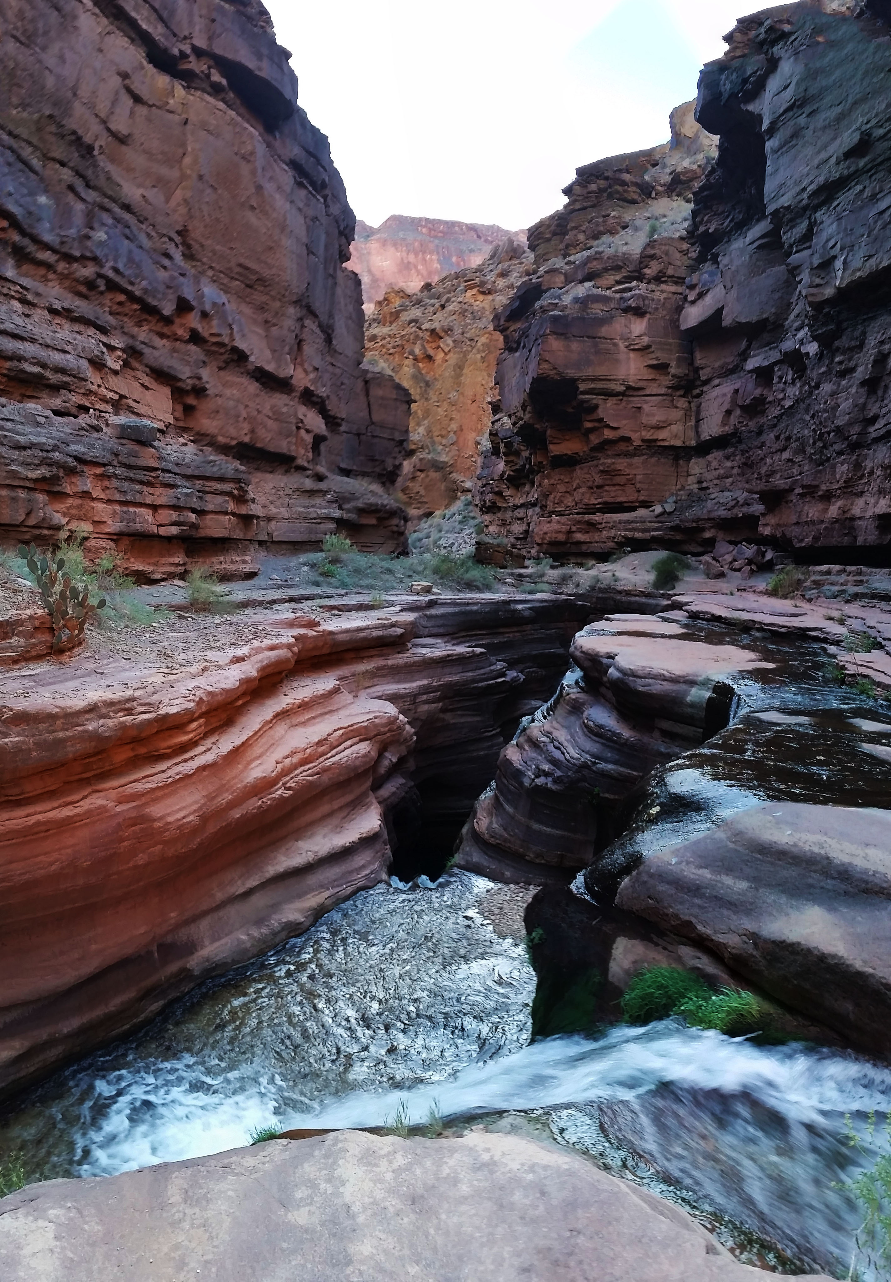
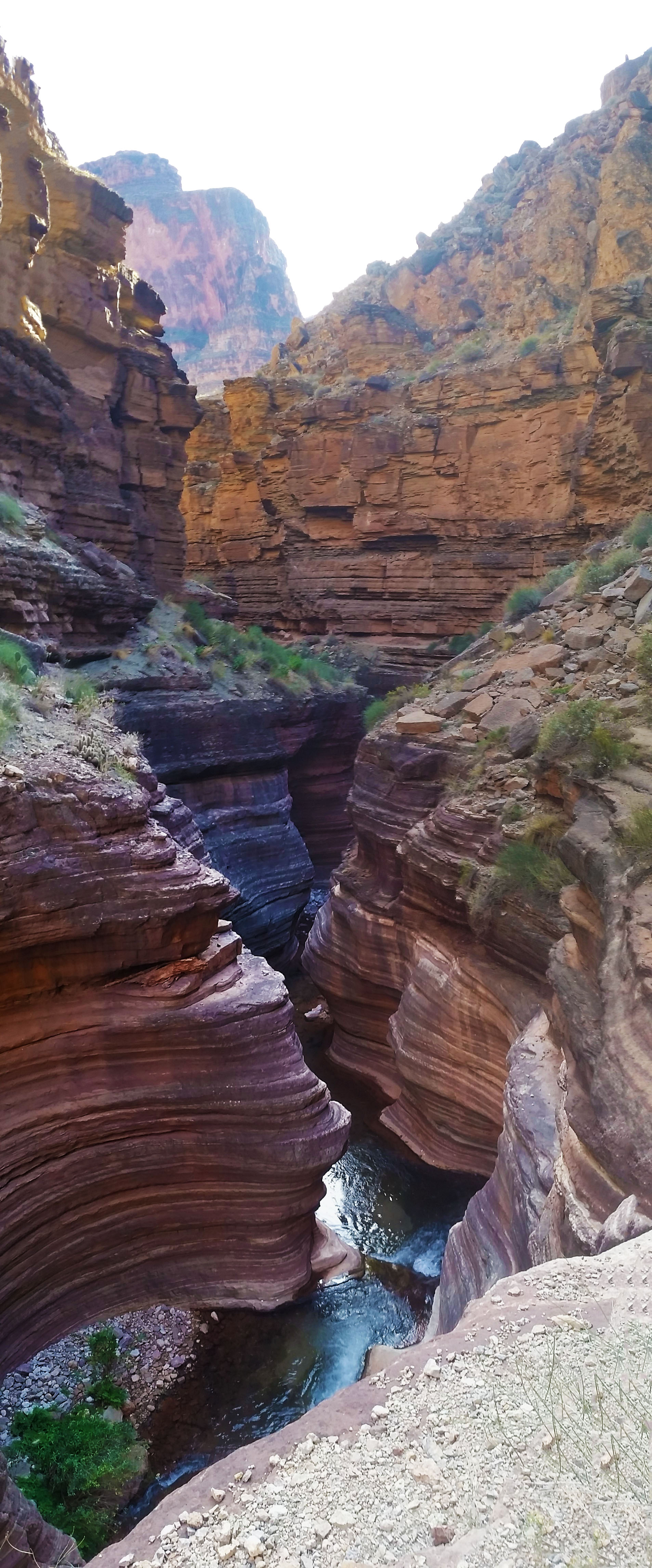
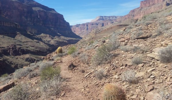
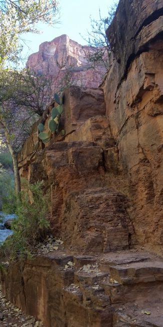
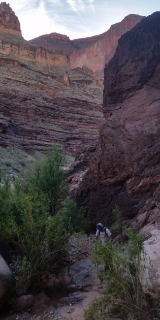
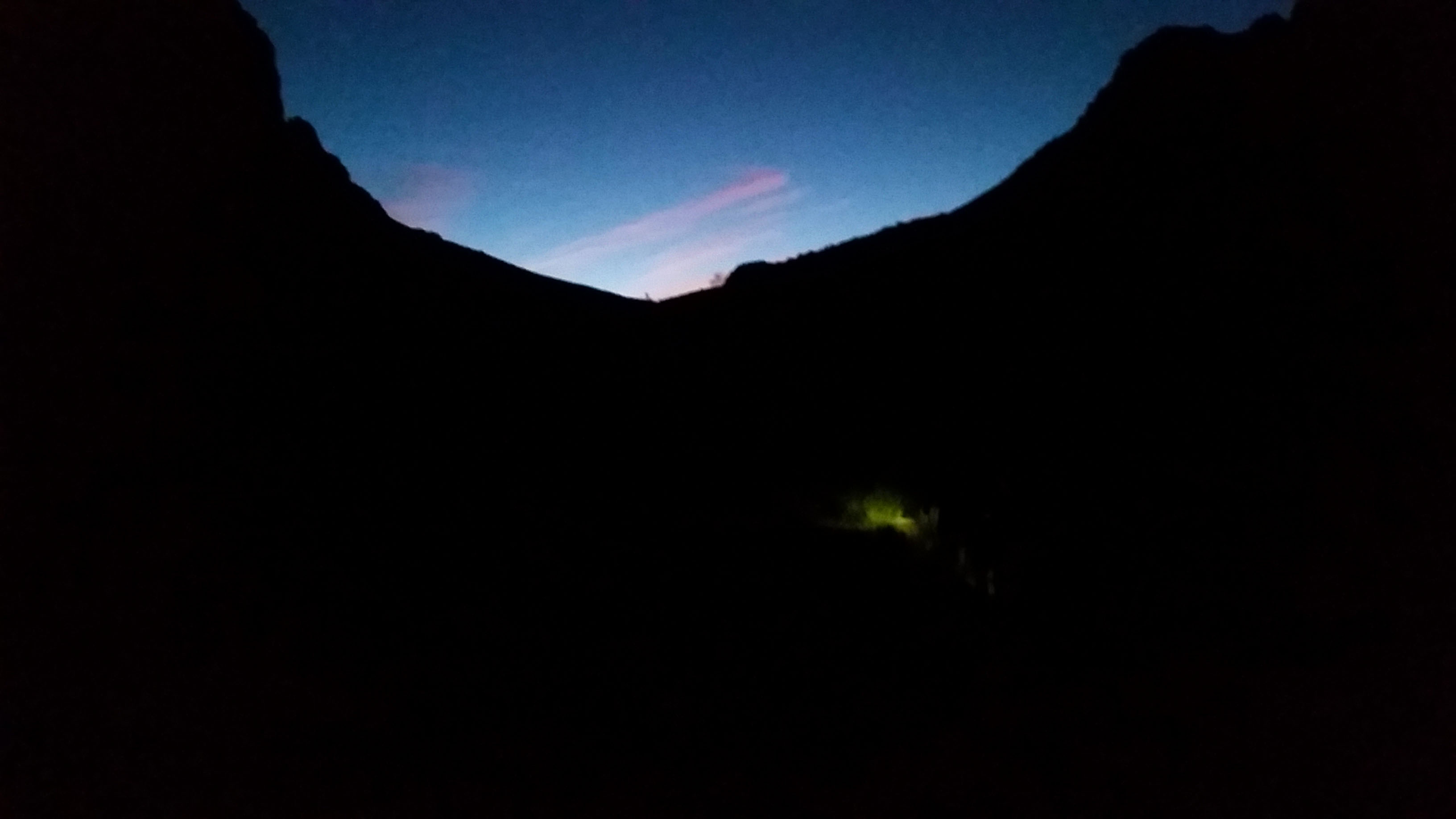
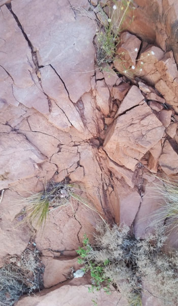
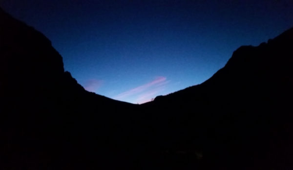 Morning light
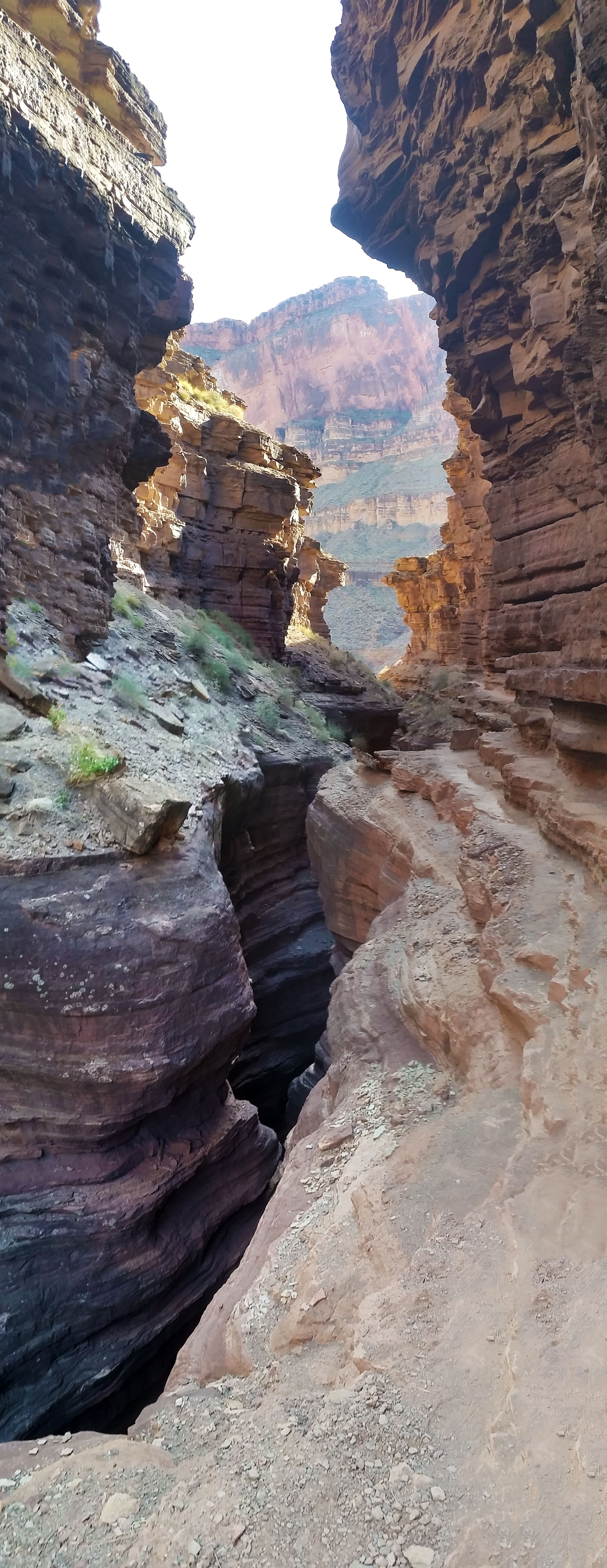
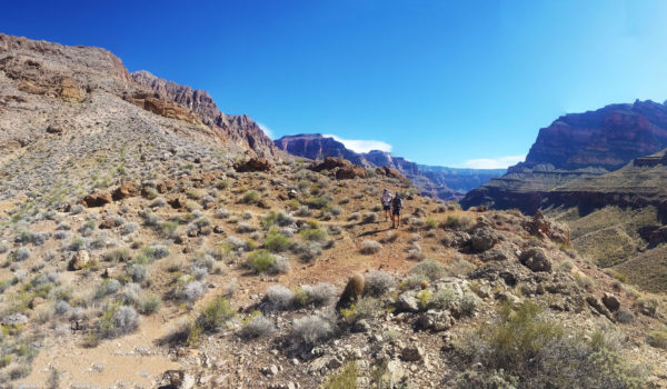
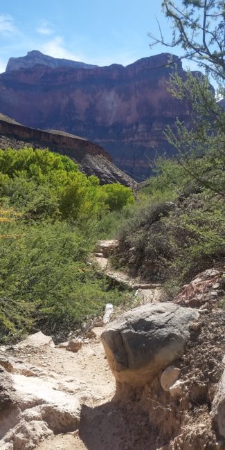
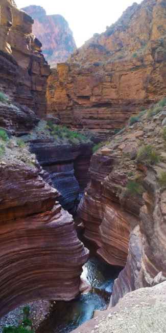
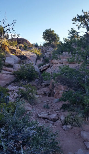
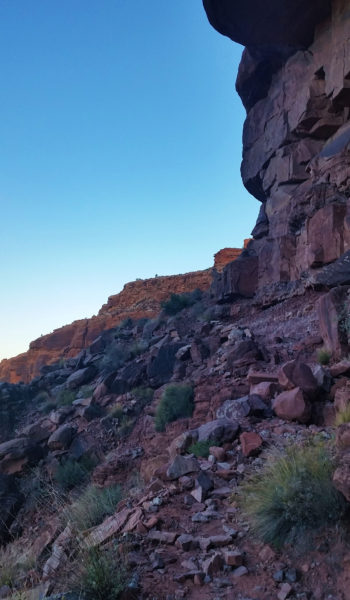 Last push out of the Red Wall
- The GPX Loop: http://hikearizona.com/
gps=25256 - Thunder River: http://hikearizona.com/
decoder.php?ZTN=1008 - Bill Hall Trail: http://hikearizona.com/
decoder.php?ZTN=612 - Tepeats Side Trek: http://hikearizona.com/
decoder.php?ZTN=19576 - Tepeats Cave – http://www.teamcrowbar.com/b82.php
HIKE STATS:
- Weather: Hi in upper 70s, Low in upper 60s, Sunny
- Water: 2 Liters
- Food: 1 Power Bar, 1 Protien bars, 2 bags of Welches gummys, 1 Mountain House Breakfast.
- Time: 6 hours
- Distance: 10.4 miles
- Accumulated Gain: ~4900 feet
GEAR:
- 58 liter exos osprey backpack
- Big Agnes Copper Spur UL2 tent
- Big Agnes QCORE SLX sleeping pad
- Cosmic Down Kelty Sleeping Bag (rated to 20 deg F)
- Jet Boil – Sol
- Black Diamond trekking poles
- Sawyer Squeeze Filter
- SPOT Gen3 Tracker
CLOTHING:
- Wool T shirt
- Cotton hankerchief
- Pearl Azumi arm coolers
- Arc’teryx hoody
- Nike running shorts
- Merrell Mid Moab Hiking Boots
- Darn Tough wool medium weight socks
- Threadless hoody