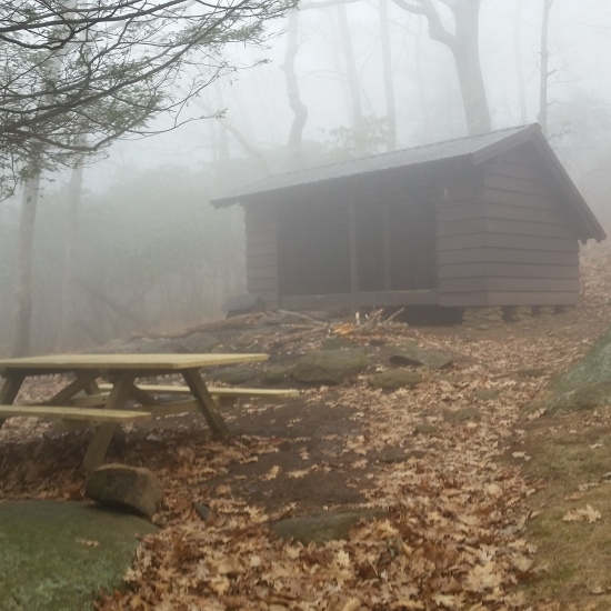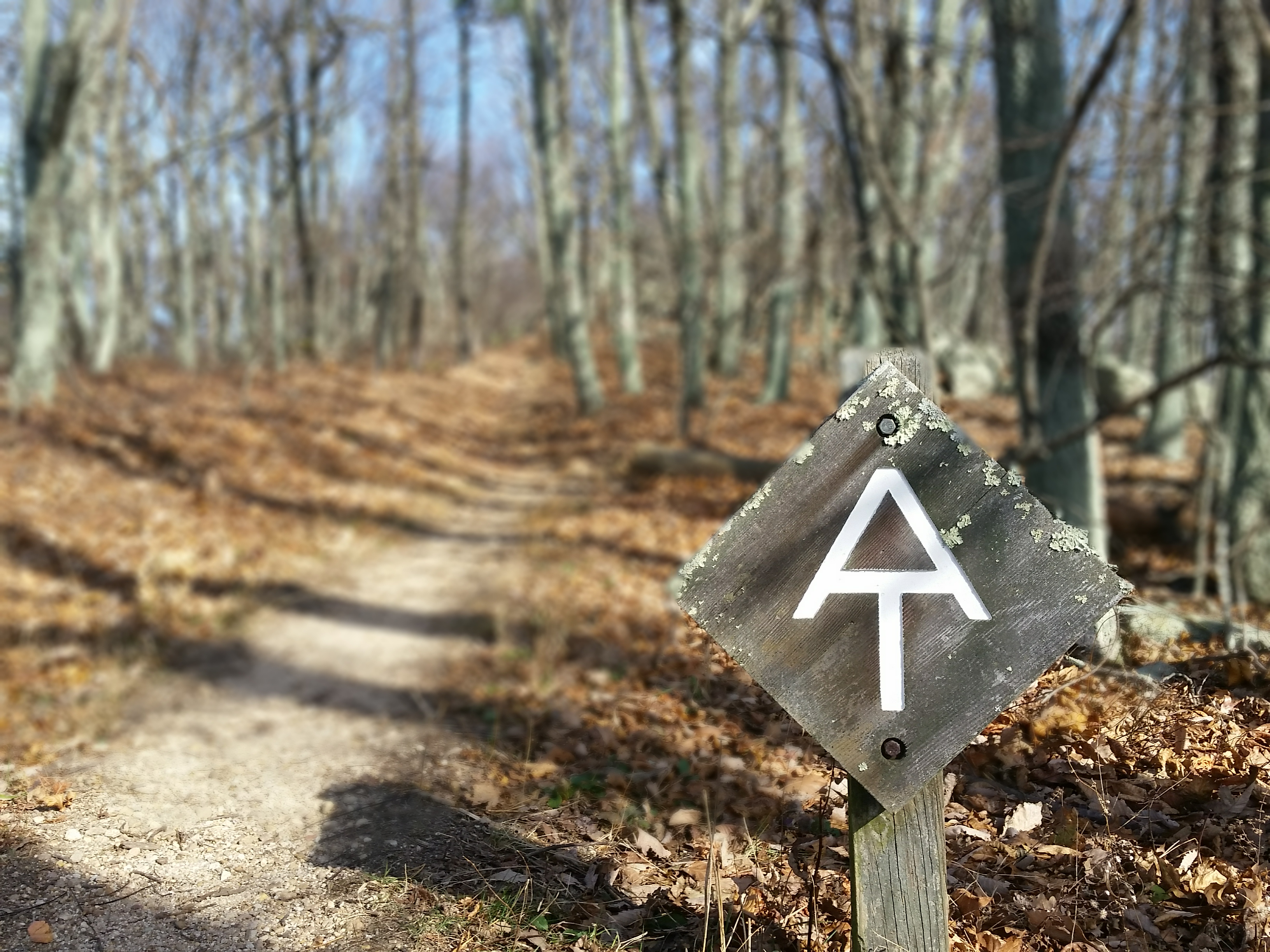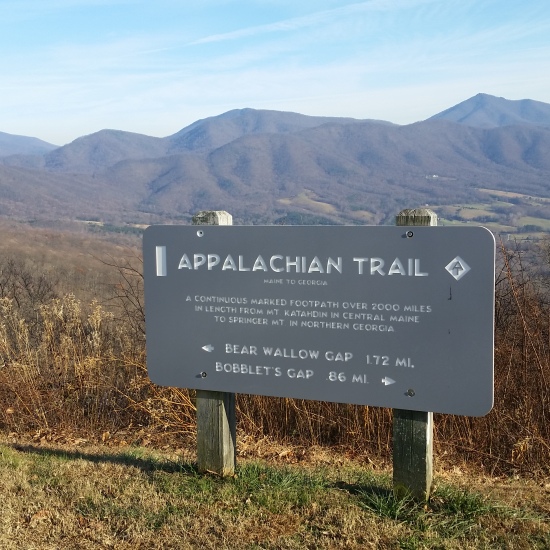

- Day 1: Highway 81 to Cove Mountain shelter (22 miles)
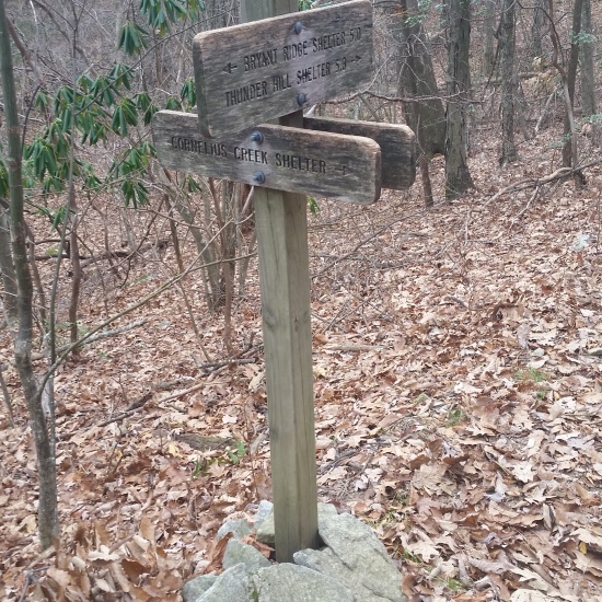
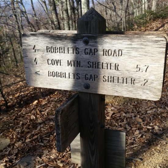
- Day 2: Cove Mountain Shelter to Thunder Hill shelter (16 miles)
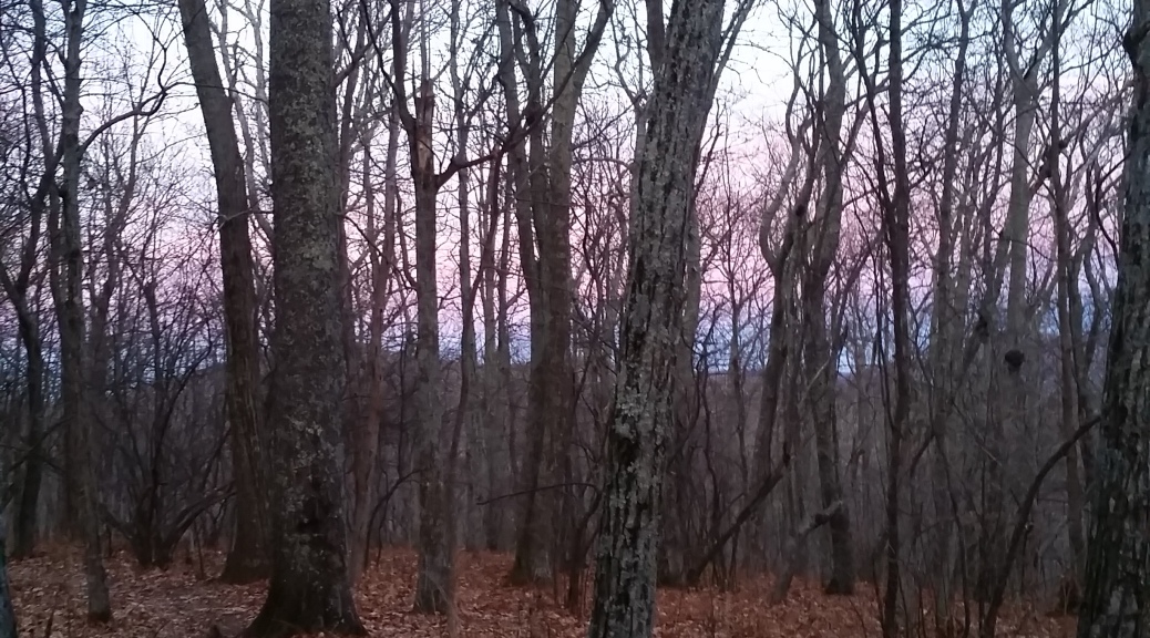
- Day 3: Thunder Hill to Punchbowl shelter (25 miles)
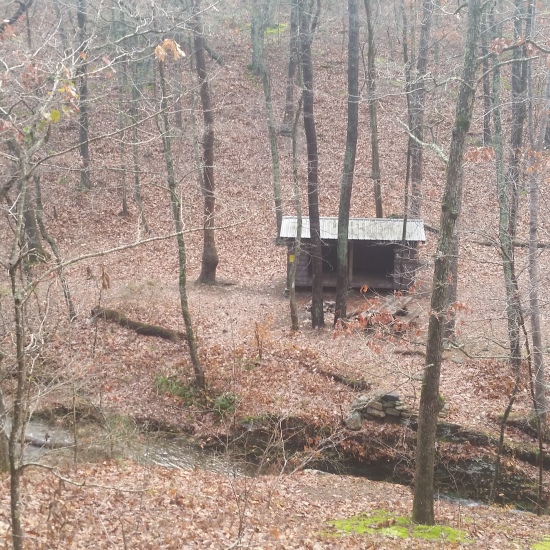
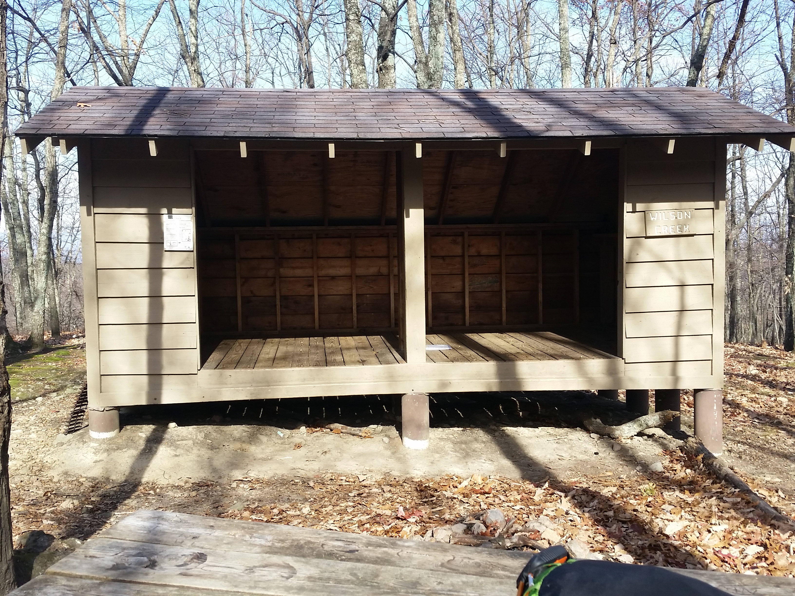
- Day 4: Punchbowl Shelter to Seely Woodward shelter (24 miles)
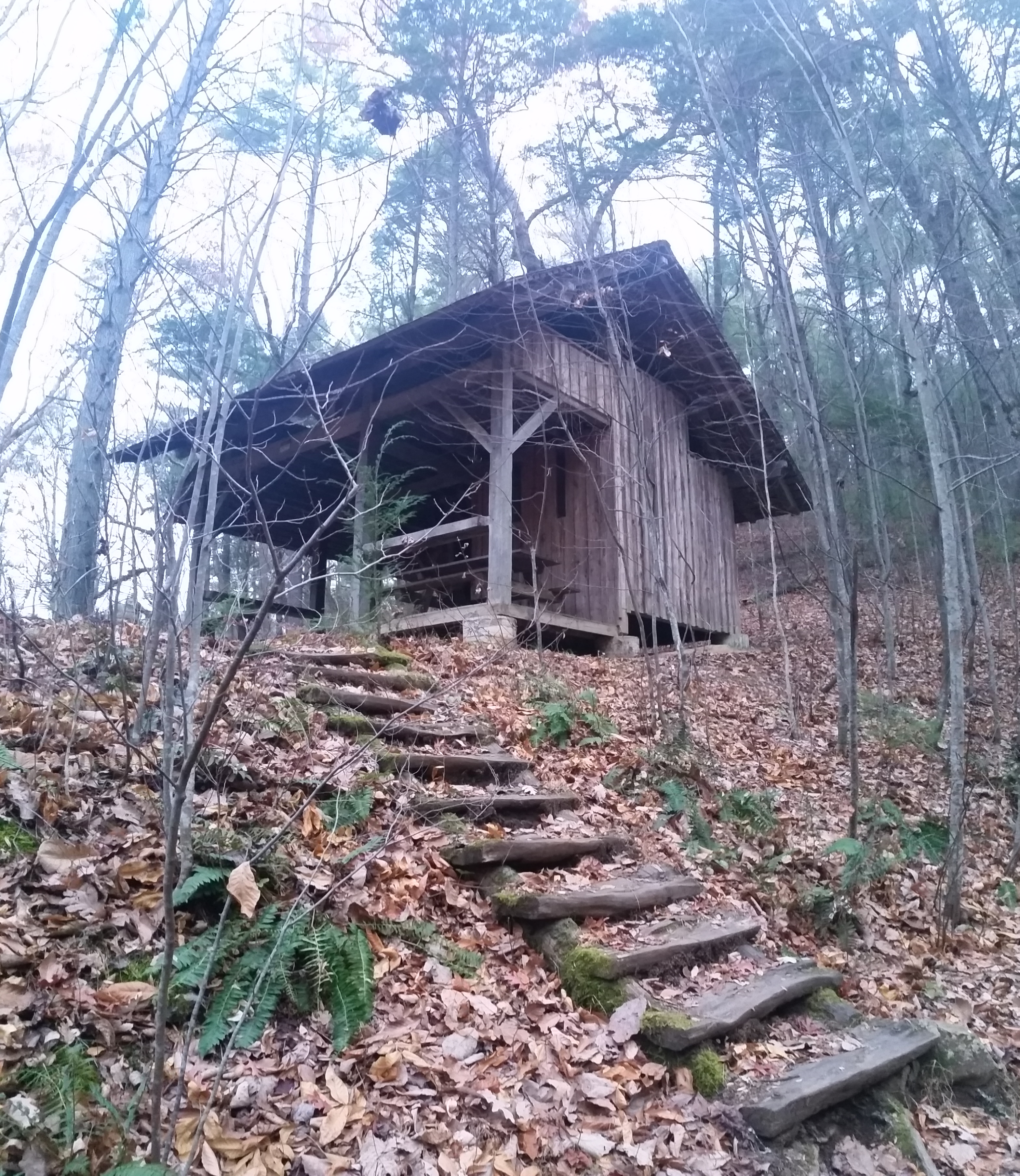
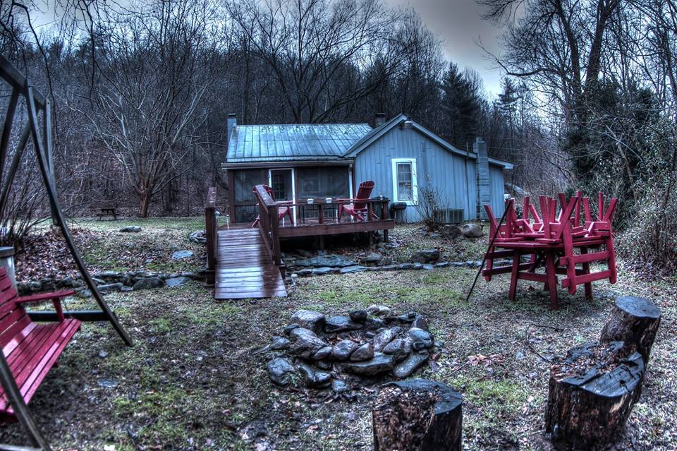
- Day 5: Seely Woodward shelter to Spicewood Cabin [on Highway 56] (12 miles)
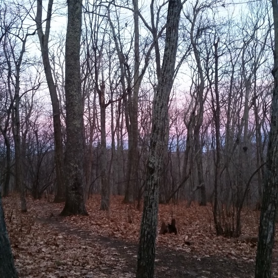
Early in the morning of the 5th day, I woke to a sound outside the shelter. I poked my head out of my tent and beamed my headlamp light into the darkness to see the wind blowing snow across the shelter opening. I knew it was coming, I just wasn’t sure how much would accumulate on the trail before I started trekking. I pulled my head back into the tent and receded into the warmth of my bag for a few more hours of sleep before I started my morning ritual of packing up and making breakfast.
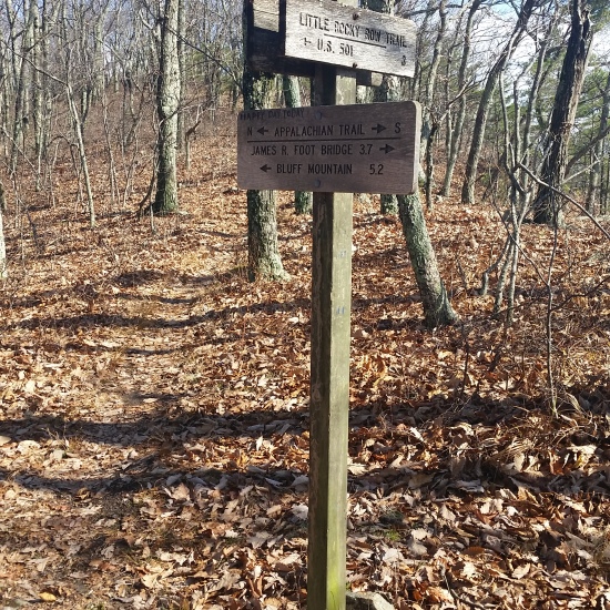
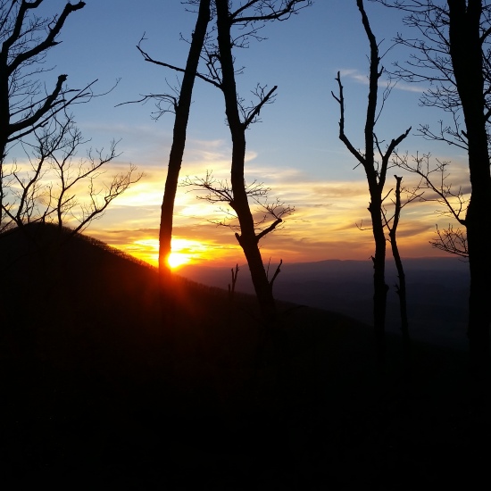
Before I knew it I was sipping hot coffee, throwing on my pack, and saying goodbyes to my temporary roommate “Just Jim”. I had a little over 7 miles of the ridge roller coaster left before I would reach “The Priest” shelter and peak. The path would then take me on my final descent to the Tye River and Highway 56, where I would walk a half mile to the cabin where my family was staying.
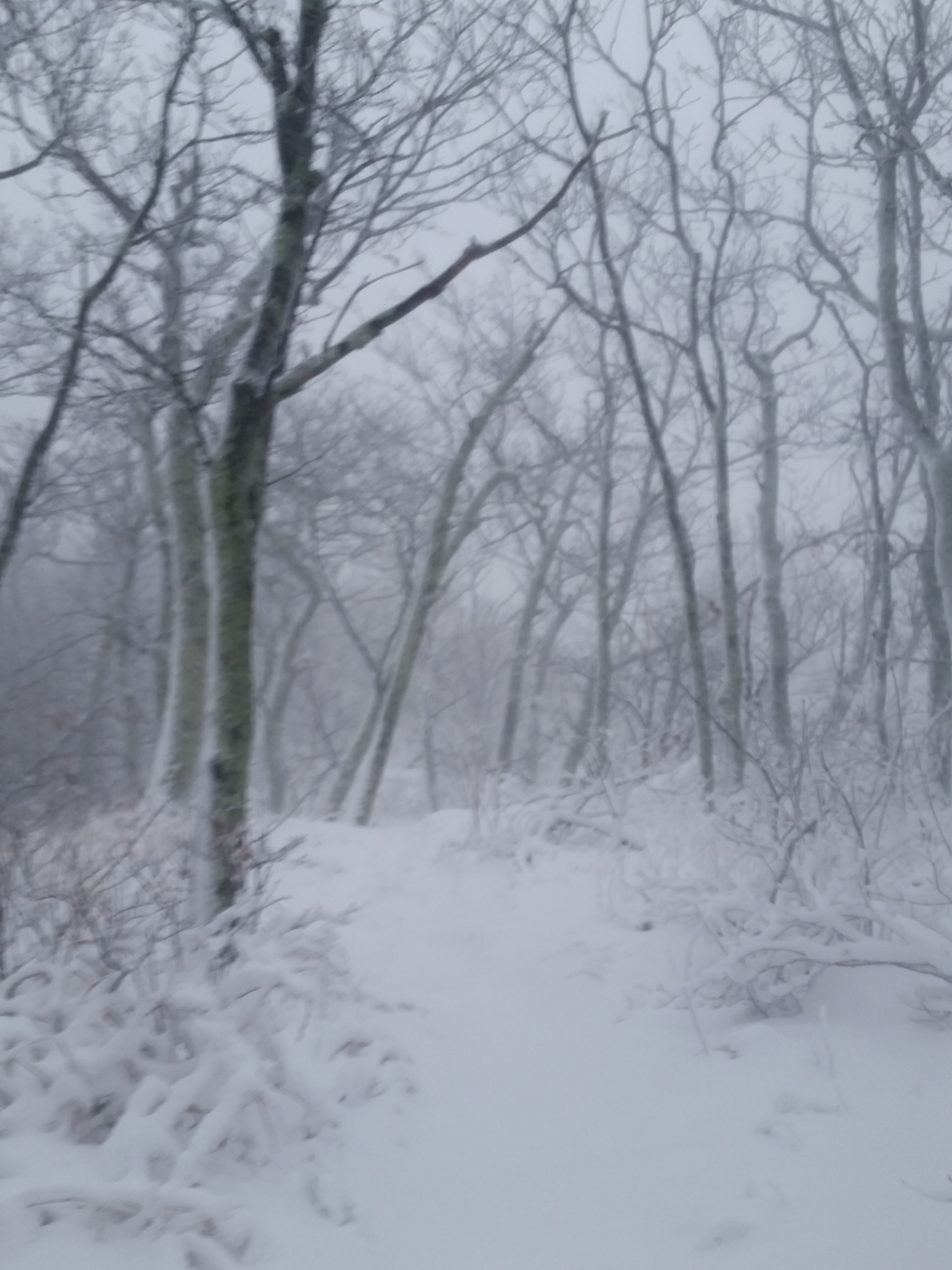
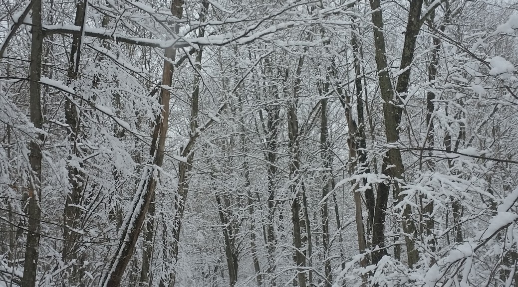
The morning was bitter cold, the kind that bites at any exposed flesh, and when I started walking there was already 3-4 inches of snow on the ground. I had my facemask pulled on tight to combat the swirling, whipping wind. The socks I had would soon be completely soaked from walking through the snow, and I knew that the only thing I could do to keep warm was to keep walking. The Merrell boots I was wearing were not waterproof, and I didn’t want to go back to the trailrunners on a big downhill and risk rolling an ankle again.
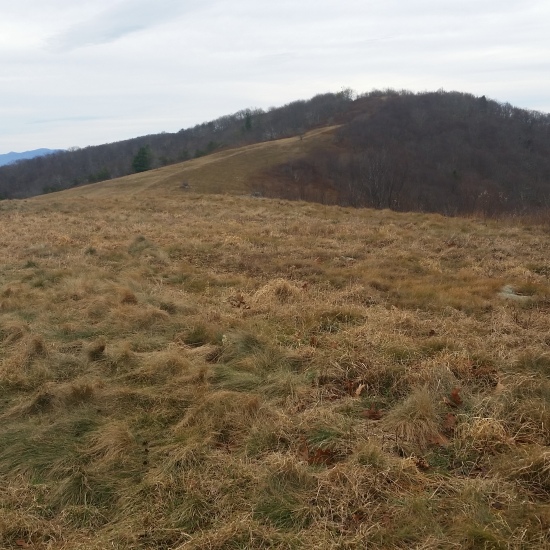
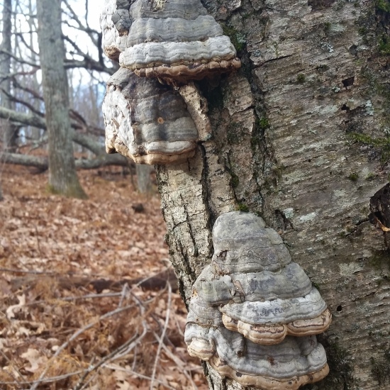
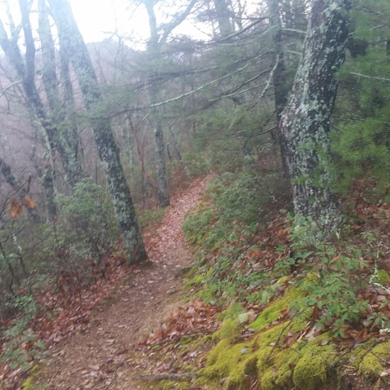
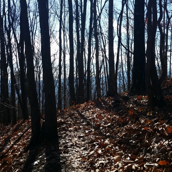
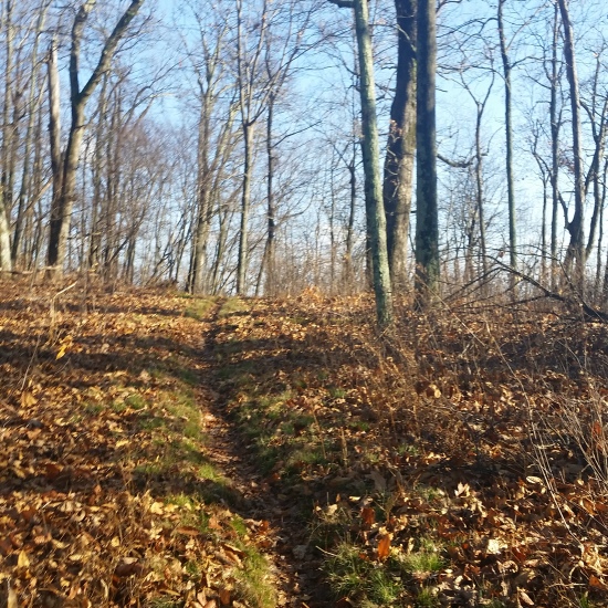
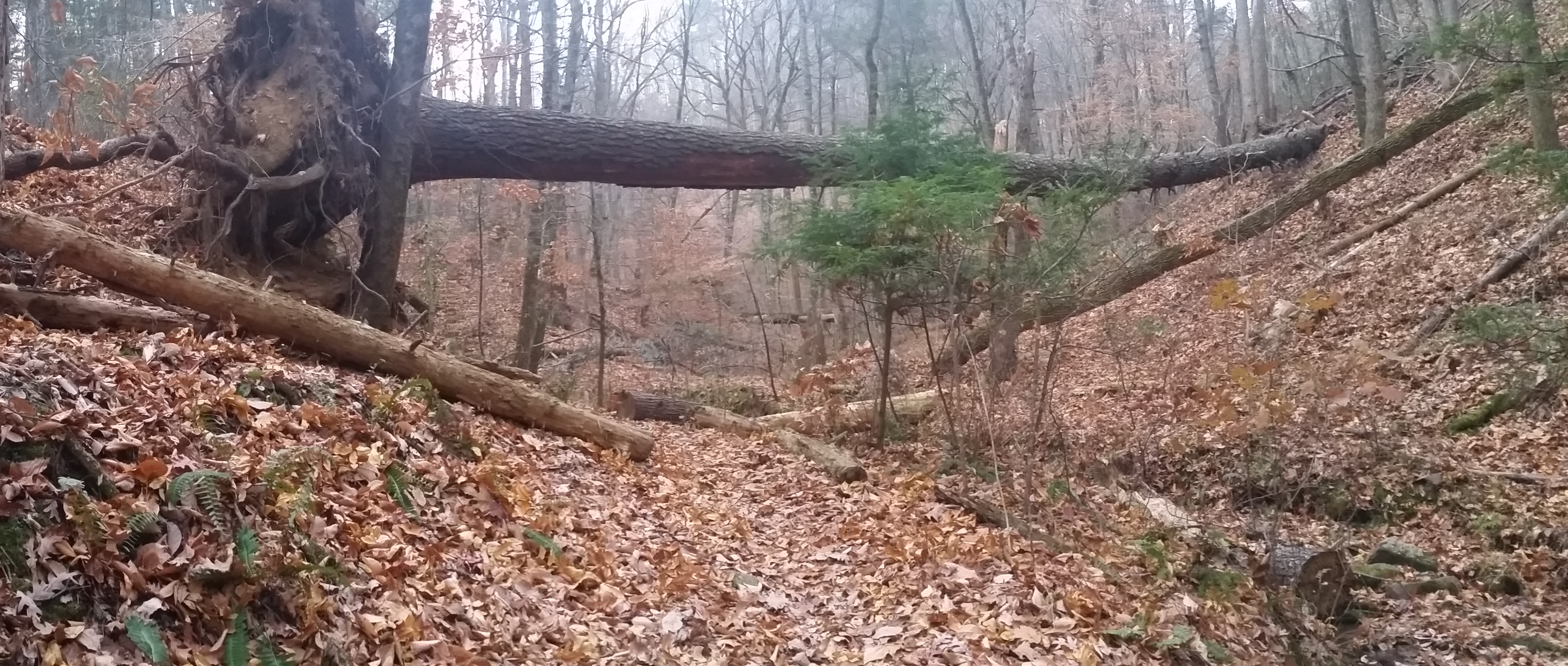
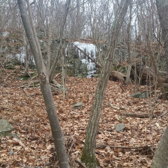
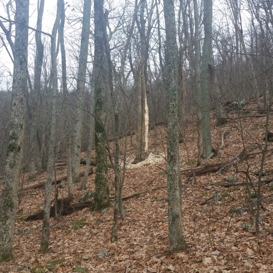
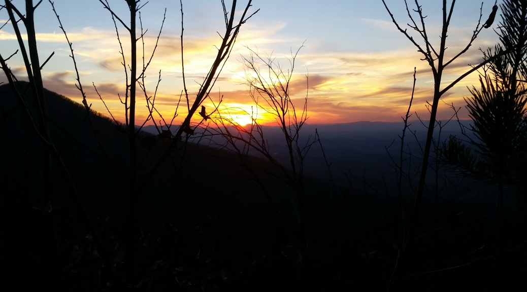
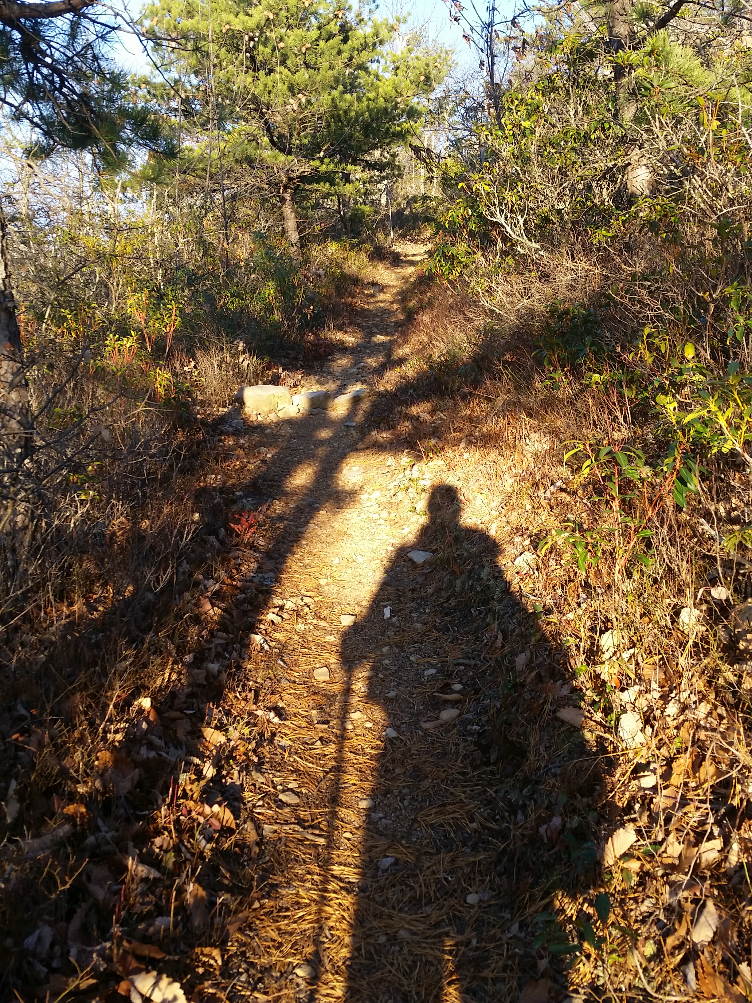
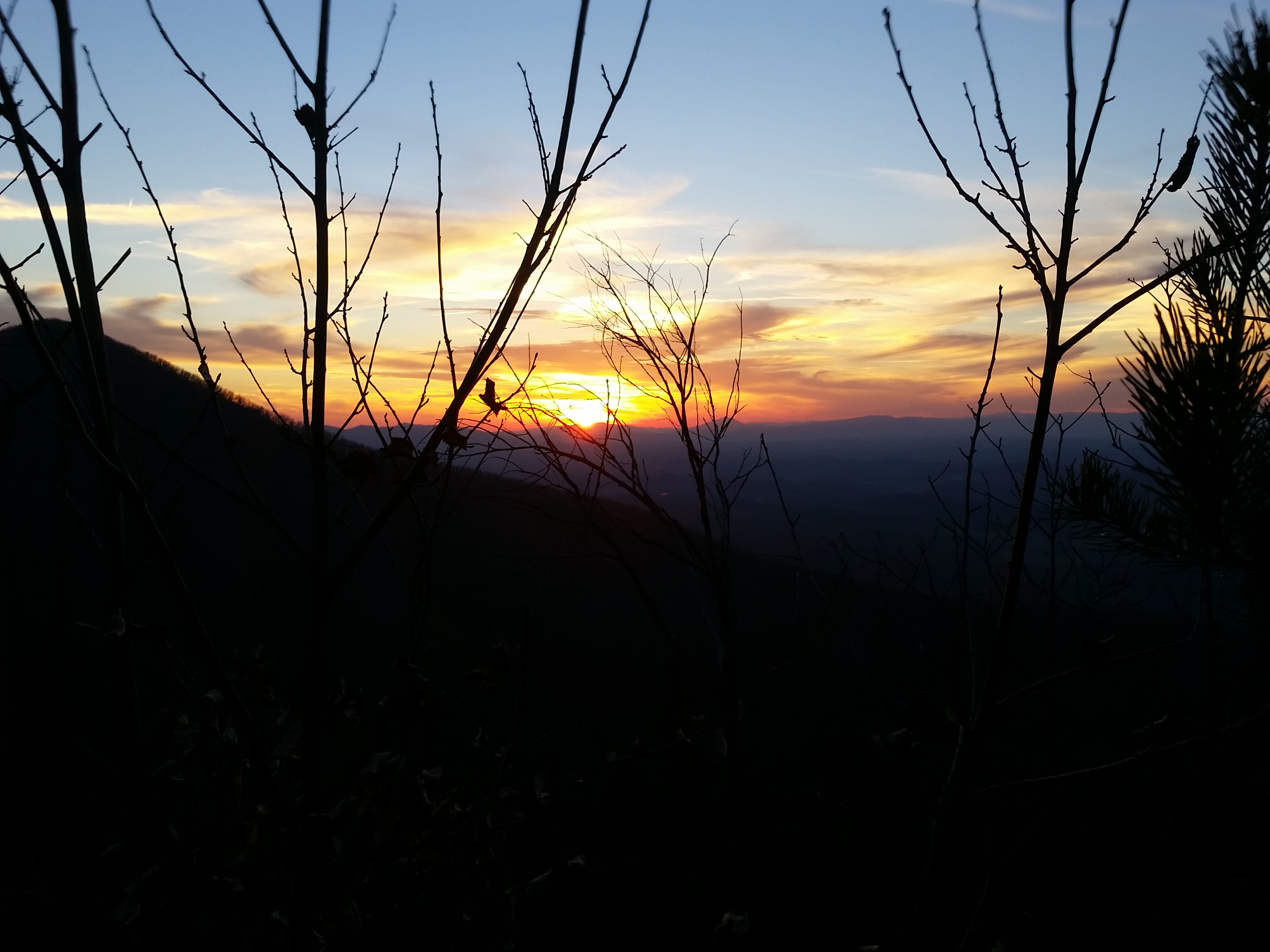
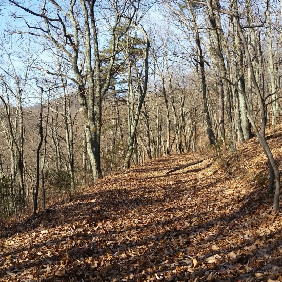
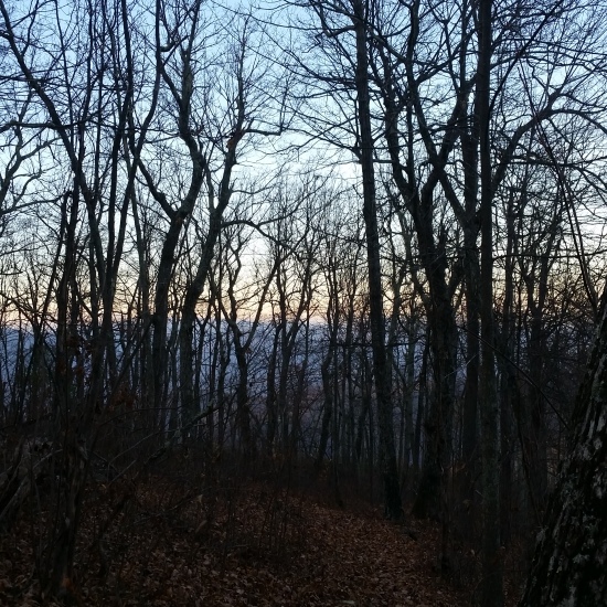
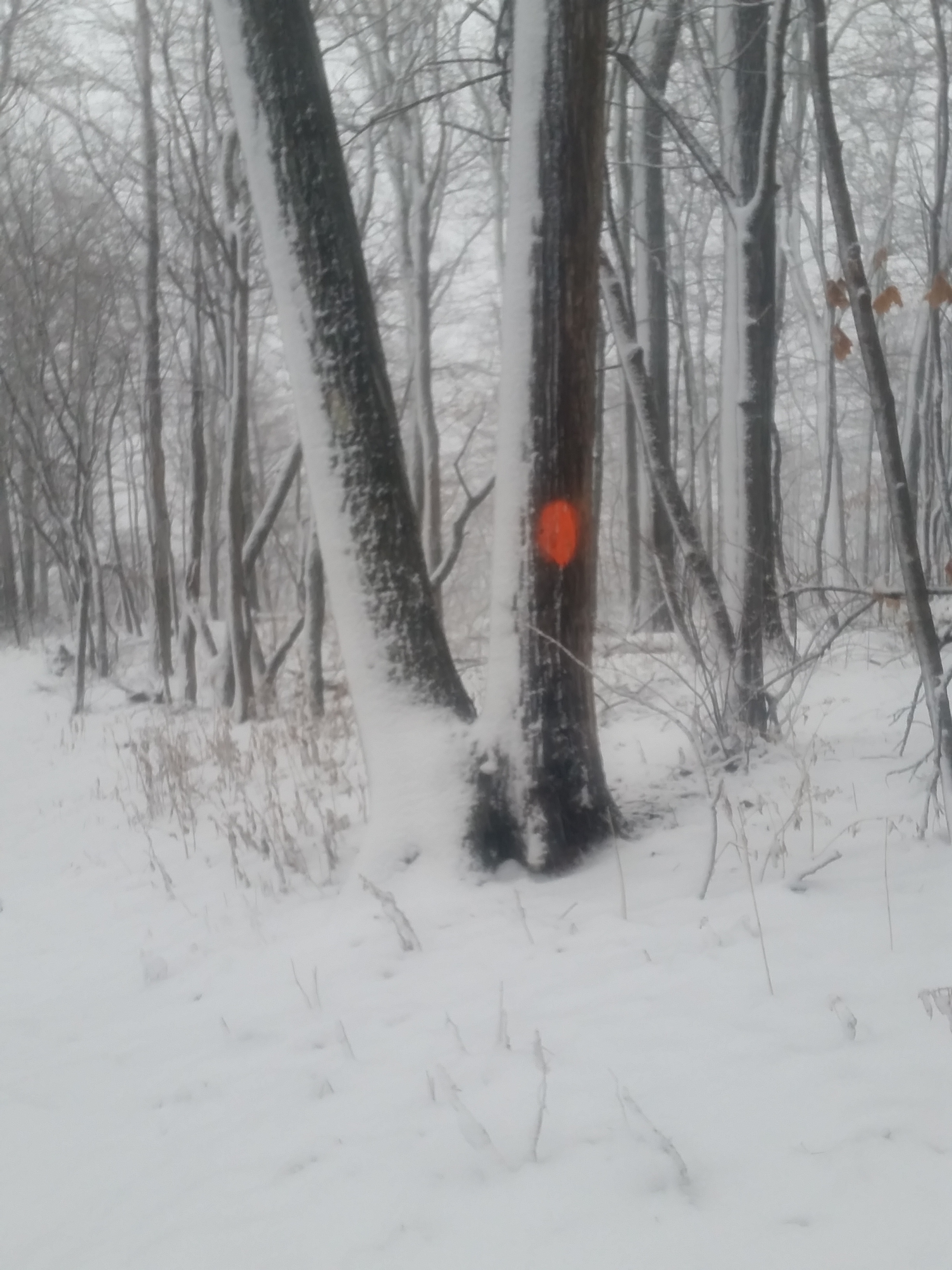
I trudged through the snow along the ridge, breaking trail as I went. Although it was cold, it was absolutely beautiful! The snow continued to fall and everywhere I looked, the landscape was covered in a perfect blanket of undisturbed snow. I trekked on stopping only momentarily to pull my hand from the wet gloves, fish out my phone, and shakily snap a few pictures before the screen became too wet to pick up my fingerprint. After a few minutes of standing still the chill began to creep on. I quickly stuffed the camera away, not knowing if the pictures I was taking were actually decent, and moved on.
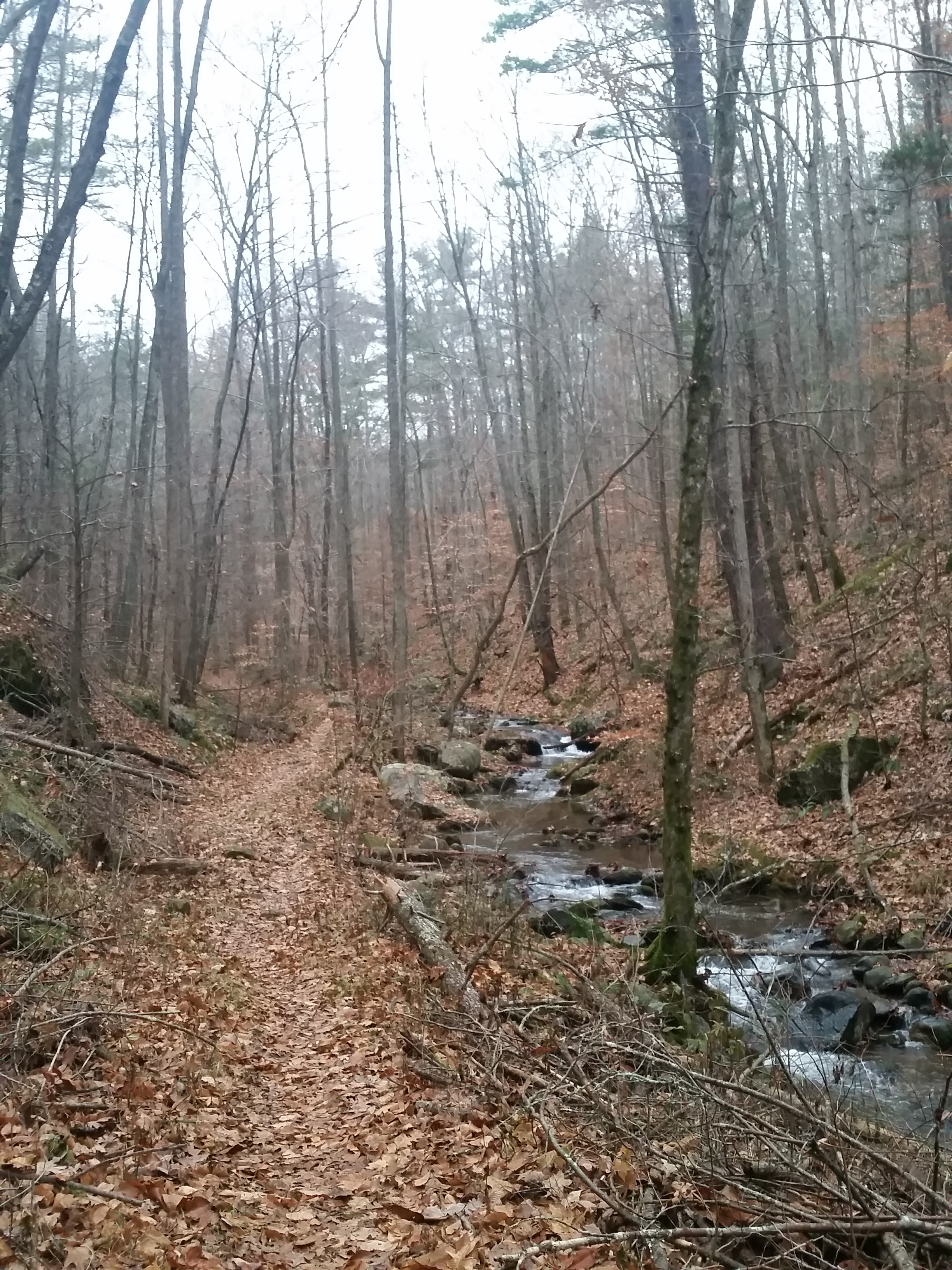
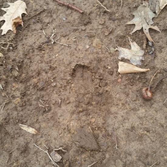
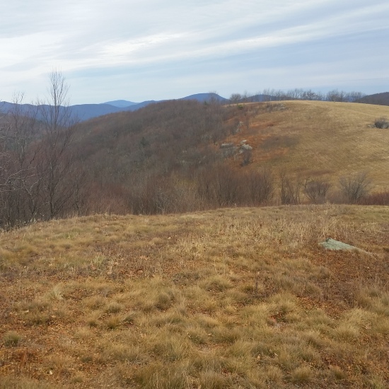
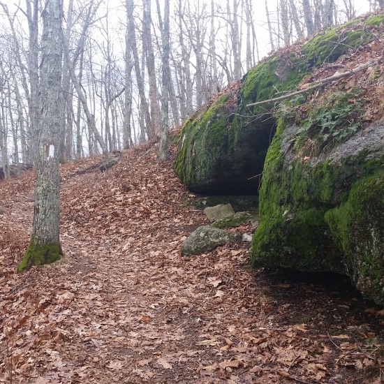
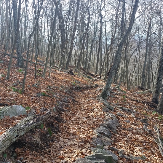
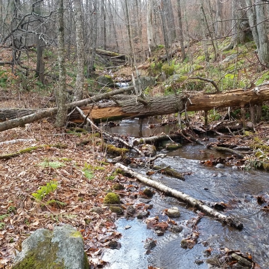
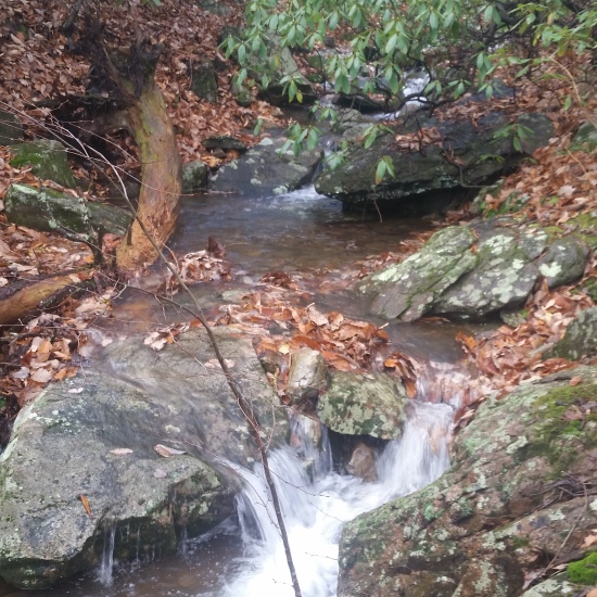
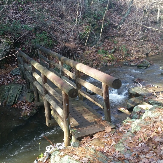
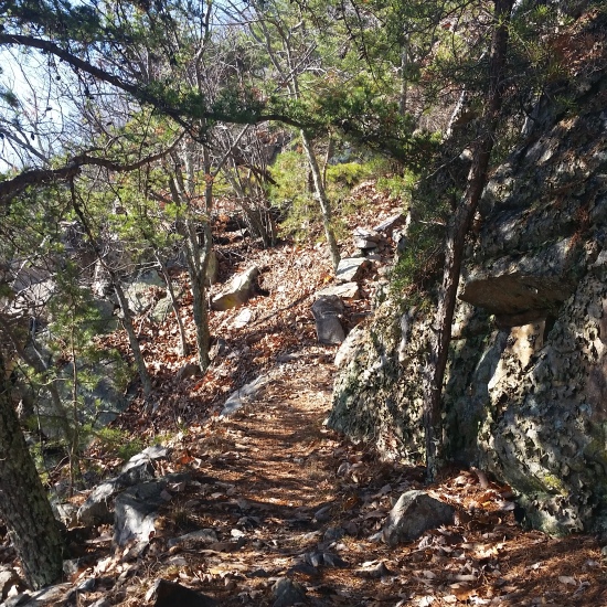
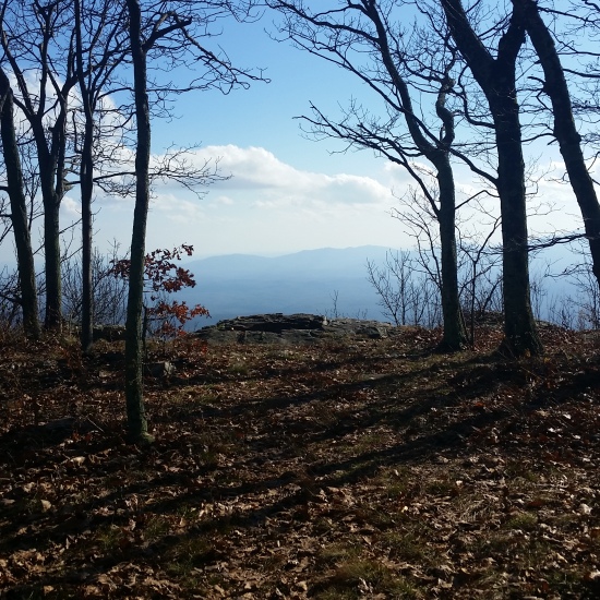
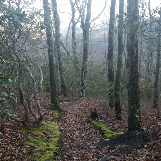
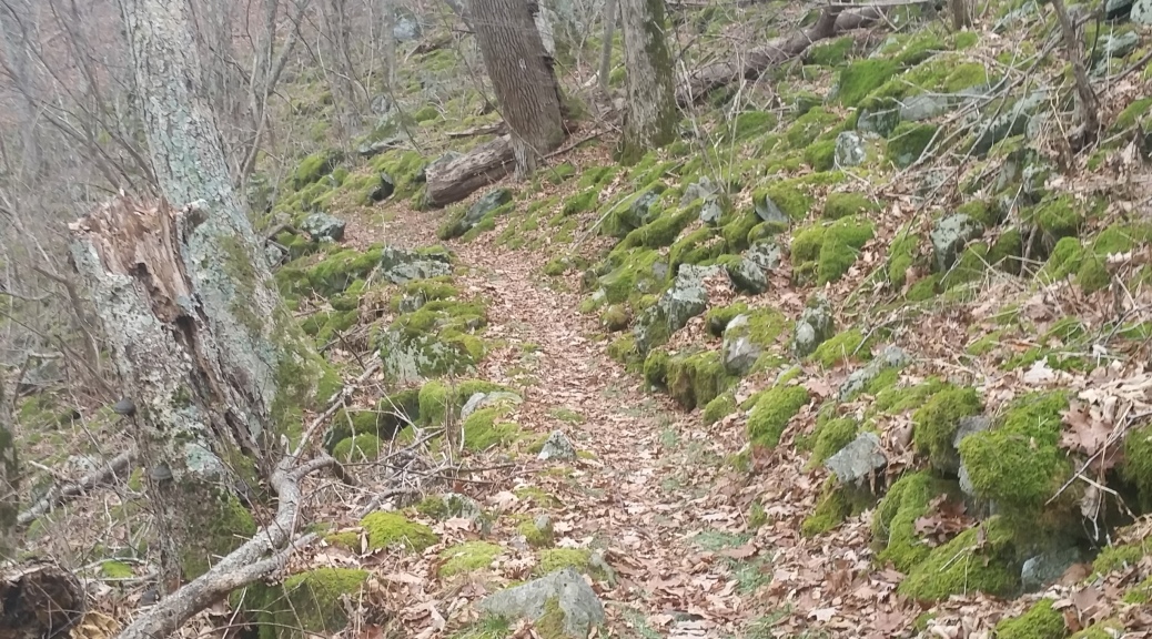
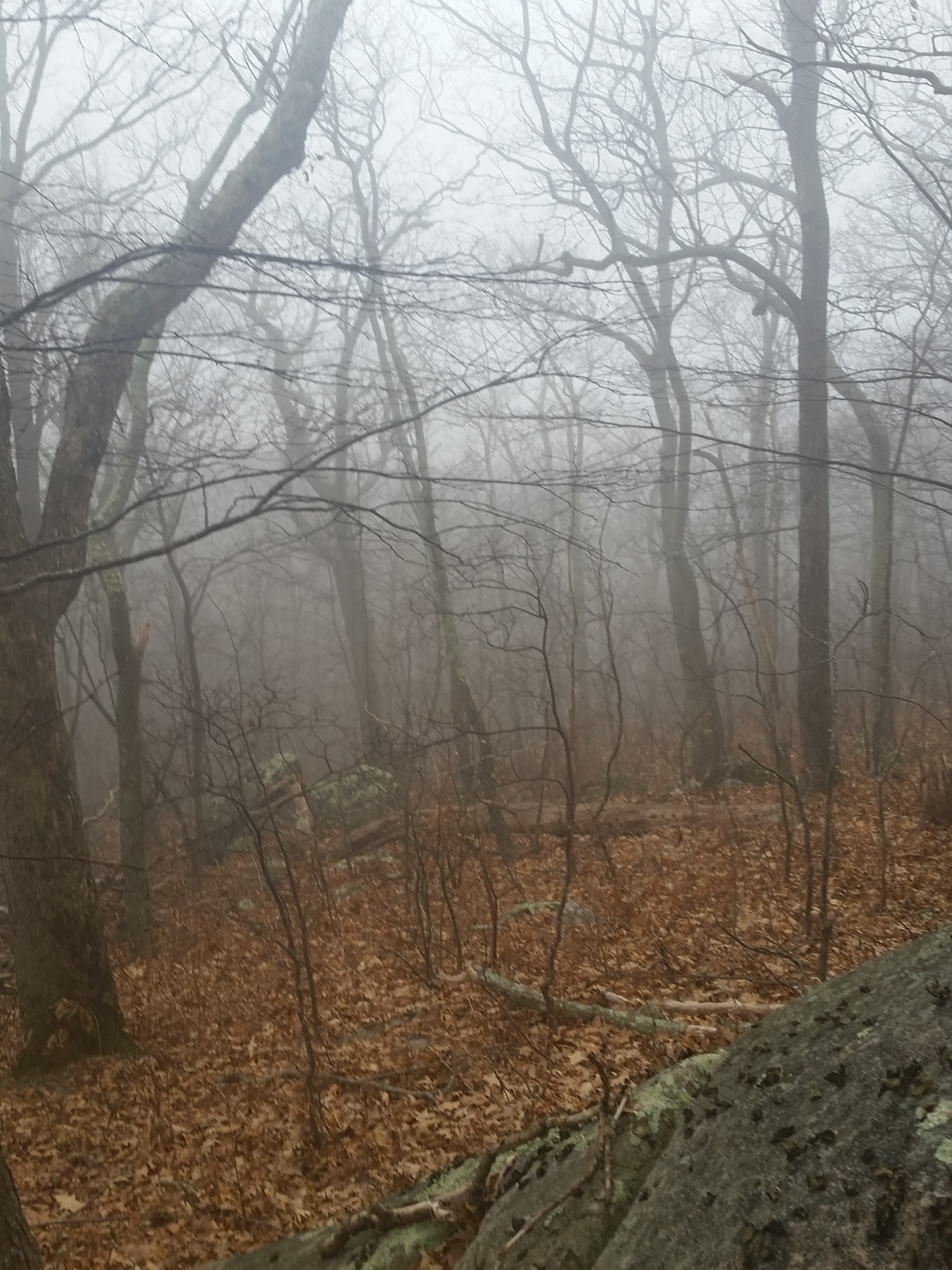
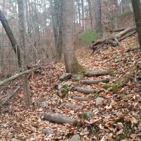
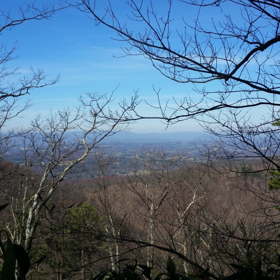
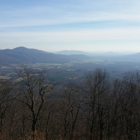
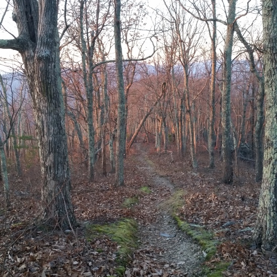
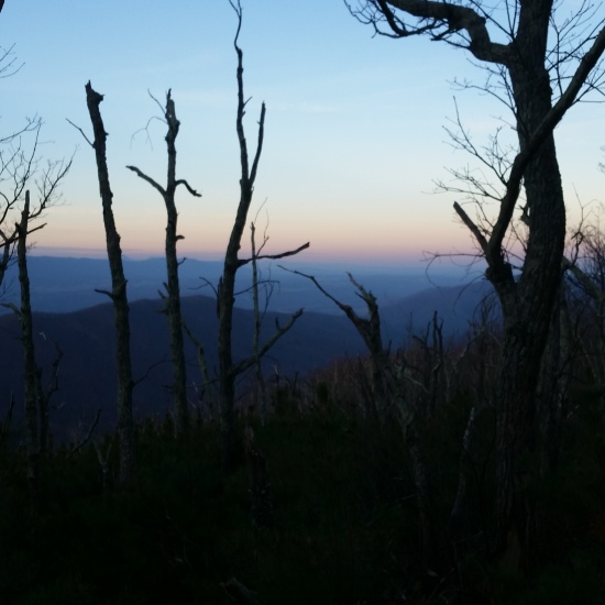
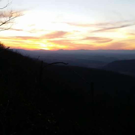
I finally reached The Priest and knew the rest of the trip would be a slippery downhill to the highway and eventually the cabin. (I could only speculate why they called it “The Priest”, but if I had to guess it’s because if you were climbing the opposite direction from the Tye River up to the ridge, you would need a Priest when you reached the top! Its a serious ascent!) I pressed on, seeing random rabbit and bird tracks in the snow but no sign of the creatures themselves. I came upon one expansive view on the downclimb. I looked out, attempting to peer out past the foggy morning, but was only slightly able to make out a few lakes in the distance. I had no depth perception at this point but I knew I had only a few miles left.I kept descending and as I dropped elevation the snow turned to freezing rain. The snowline was at about 1500 feet and everything below that was sopping wet. The path weaved in and out of canyons, crossing a few heavy running creeks.
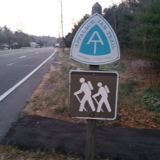
I turned a corner and saw an old farm house with a few sheds and old machinery in the back. I knew I wasn’t far from the road! I traversed the next few switchbacks with childlike excitement! I soon walked out of the trail and onto Crabtree Falls Highway 56, just 0.4 miles from my destination. I was hit by an overwhelming feeling that words can’t describe when I realized how close I was to finishing. I was just moments away from walking 100 miles in 5 days. I remember repeating “a hundred miles in five days” out loud to no one in particular, and every time I said it a wave of inexplicable emotion washed over me. With just this small personal accomplishment, I could only imagine what true through hikers that push 2000+ miles straight must feel when they finally reach the end of their journey. I trekked the last section along the road with ease. I reached the cabin, half expecting to see no one there. I walked to the door and knocked eagerly to see my mom soon appear in the doorway. I was so excited I threw my arms around her and half yelled “A hundred miles in 5 days!” I was drenched through from the snow and cold to the bone, but I couldn’t have been happier. It was nice to hit the mark and surprise myself. My AT trek ended there, but it is far from my last! What a wonderful journey!
HIKE STATS:
- Weather: Hi 50s, Low in the lower 30s, Overcast / Snow 6-10 inches at 4000 feet, ice rain below 1,500 feet
- Water: 1 liters
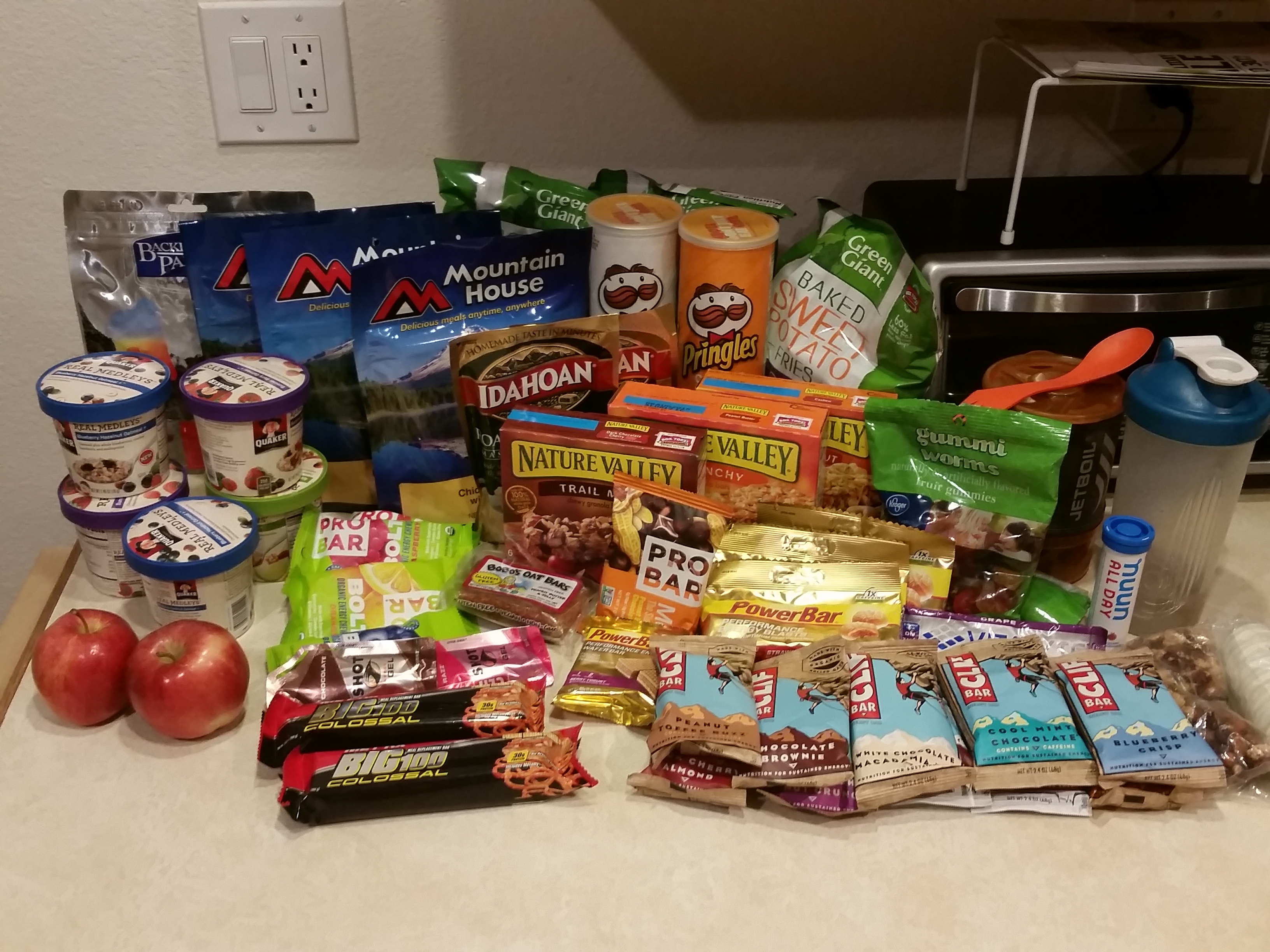
- Food: 2 Clif Bars, 1 via starbucks instant coffee, 1 Quaker Real Medleys
- Time: 4 hours day 5
- Distance: 12 Miles one way from Seely Woodward shelter to Spicewood Cabin
GEAR:
- 58 liter exos osprey backpack
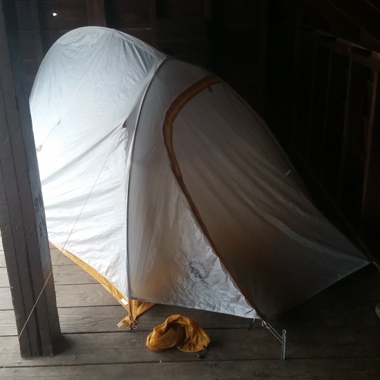
- Big Anges UL2 tent
- Flash REI sleeping pad
- Cosmic Down Kelty Sleeping Bag (rated to 20 deg F)
- Cocoon Sleeping Bag liner
- Jet Boil – Sol
- Black Diamond trekking poles
- Sawyer squeeze water filter
CLOTHING:
- Smart wool 195 long sleeve shirt
- Smart wool 150 long bottoms
- Smart wool beanie cap
- Serius Ski Facemask
- Patagonia Rain Pants
- Patagonis Rain Jacket
- Merrell Mid Moab Hiking Boots
- Smart wool medium weight sox and liners
- Giro Mountain Biking Gloves