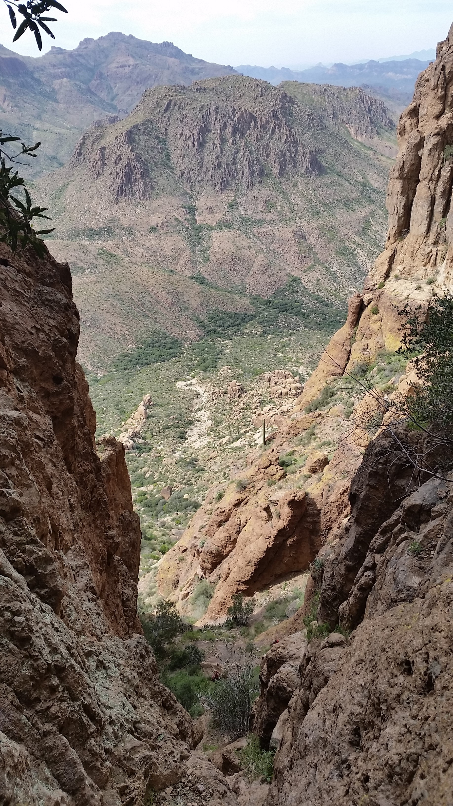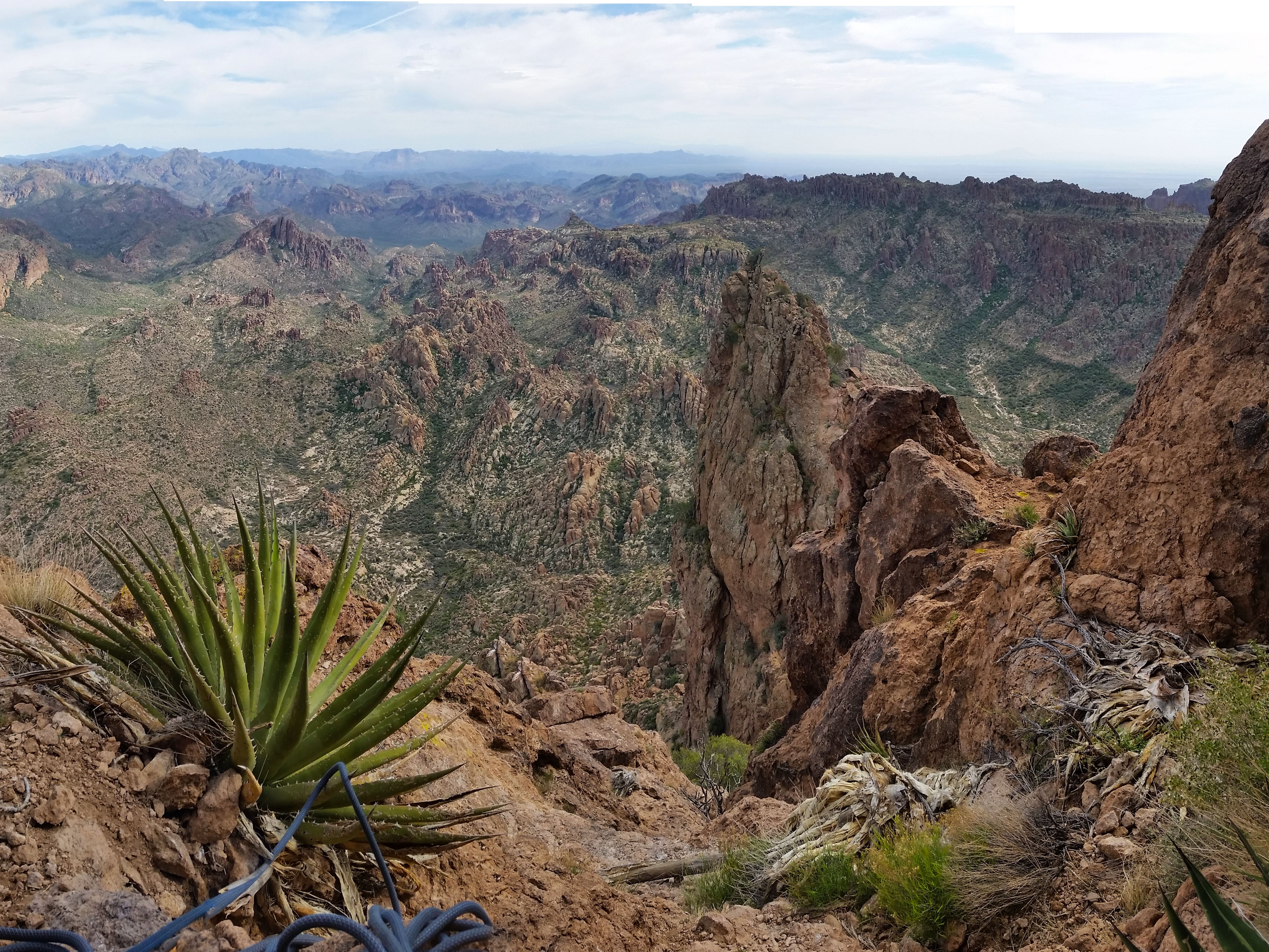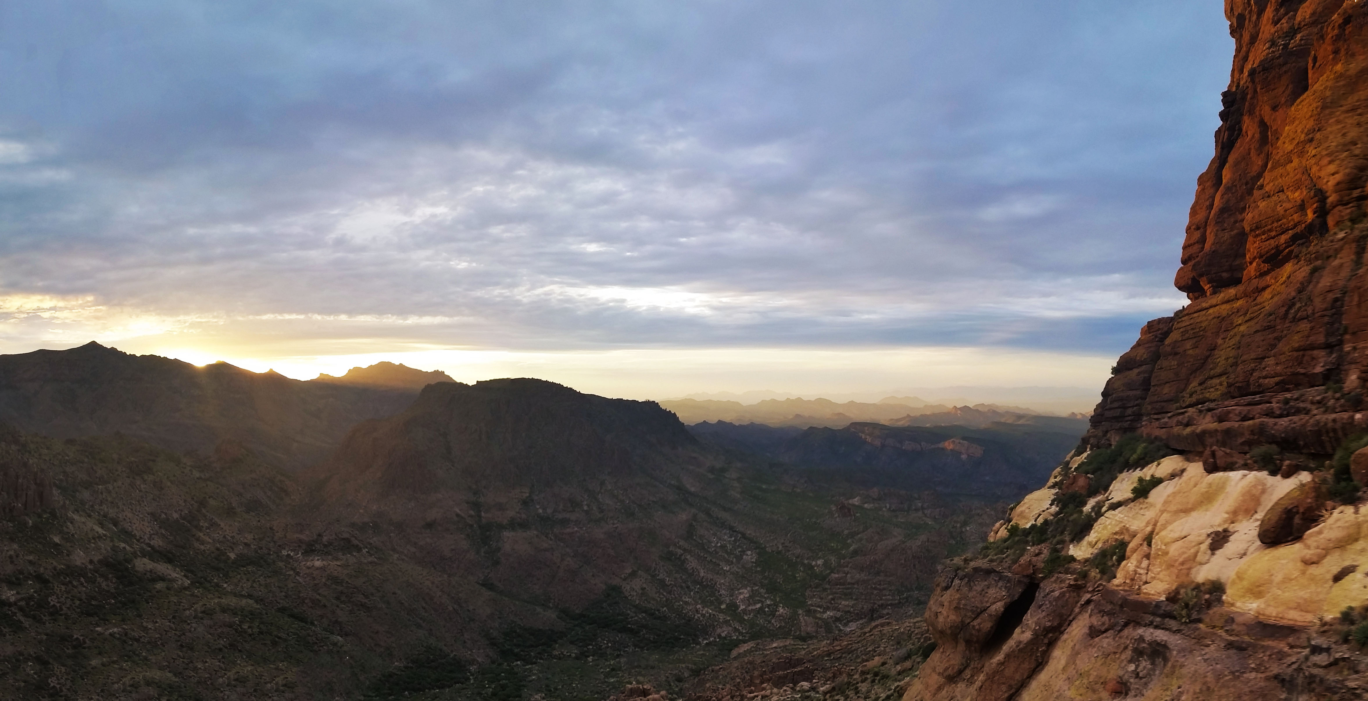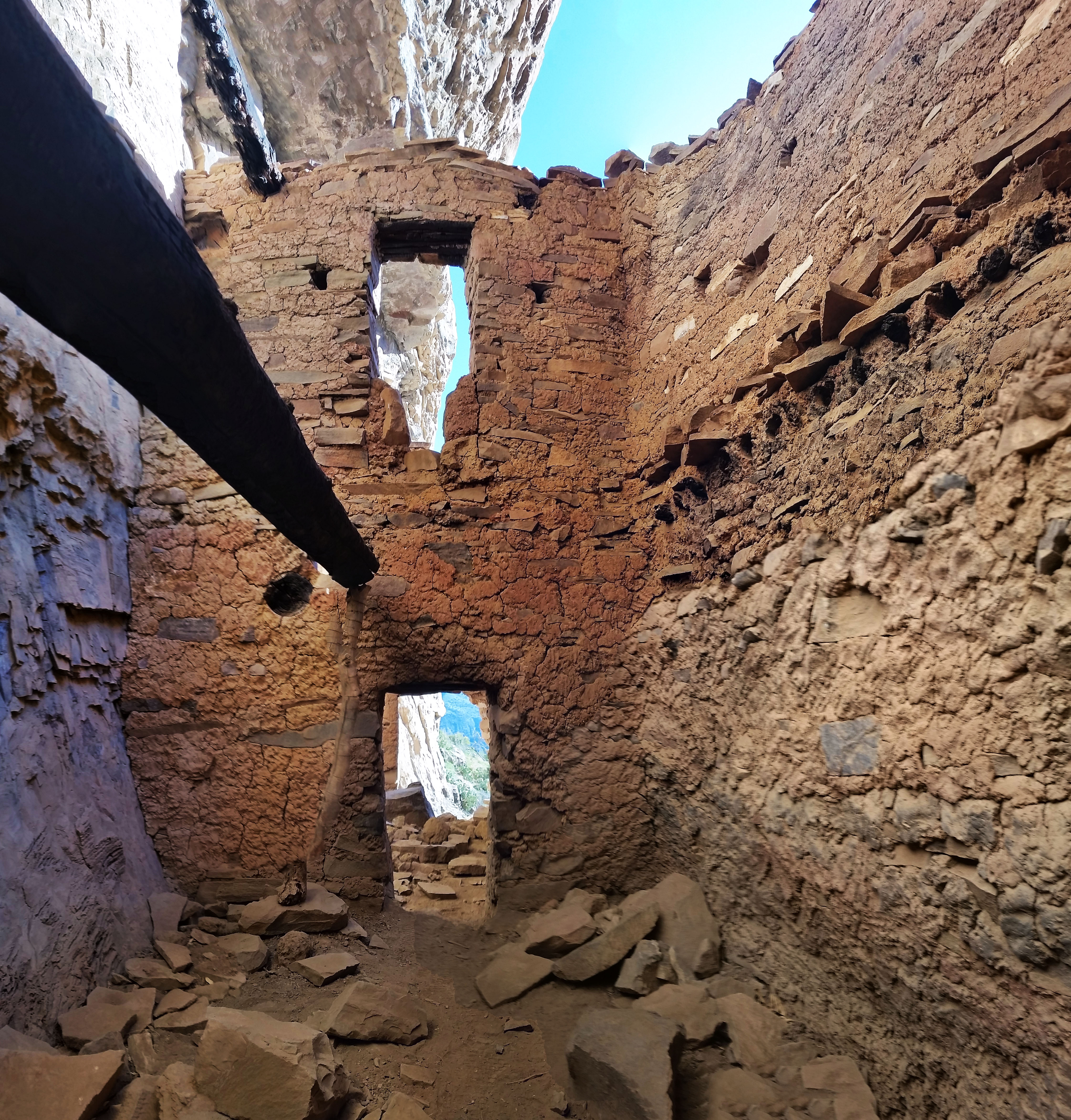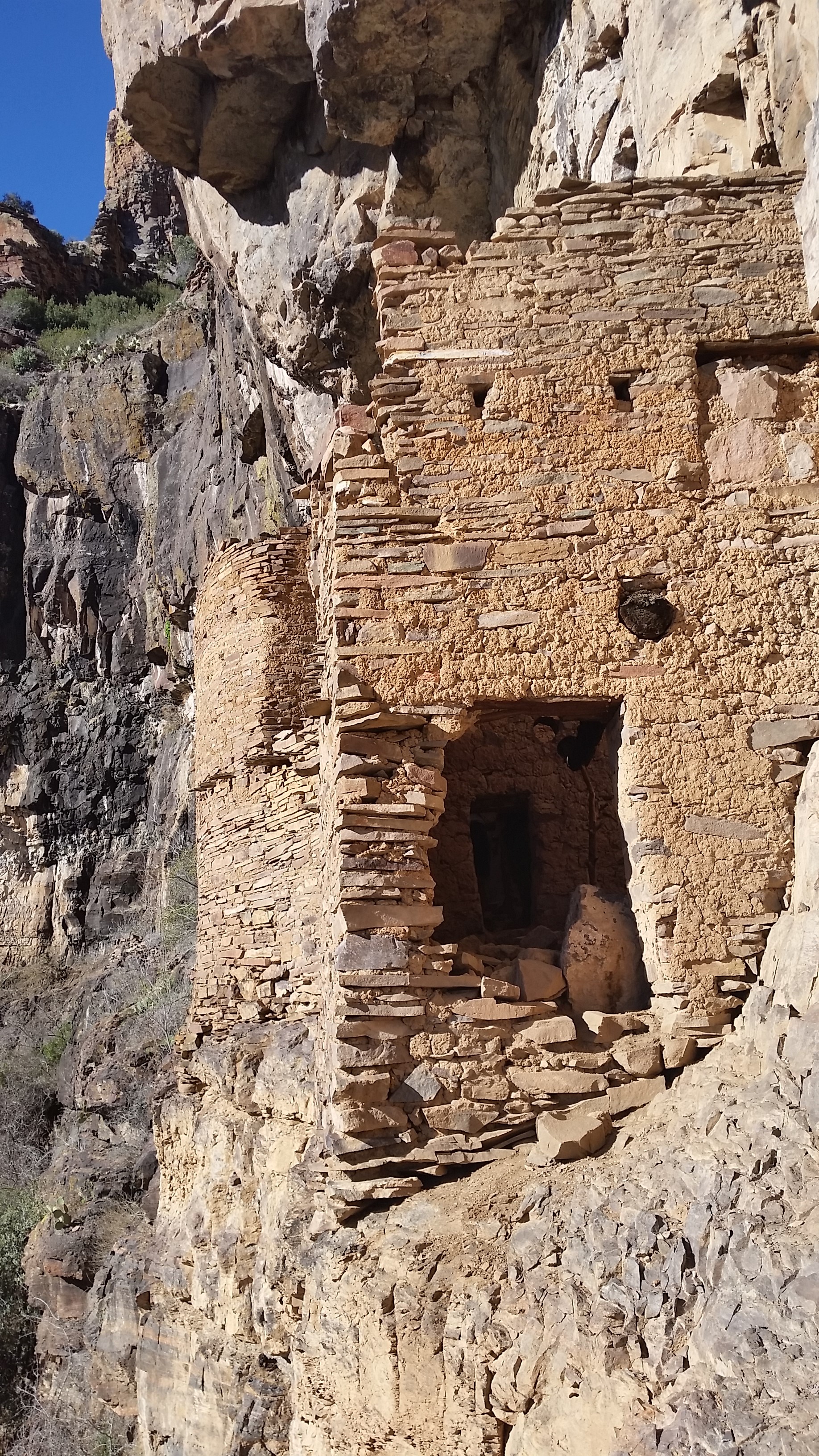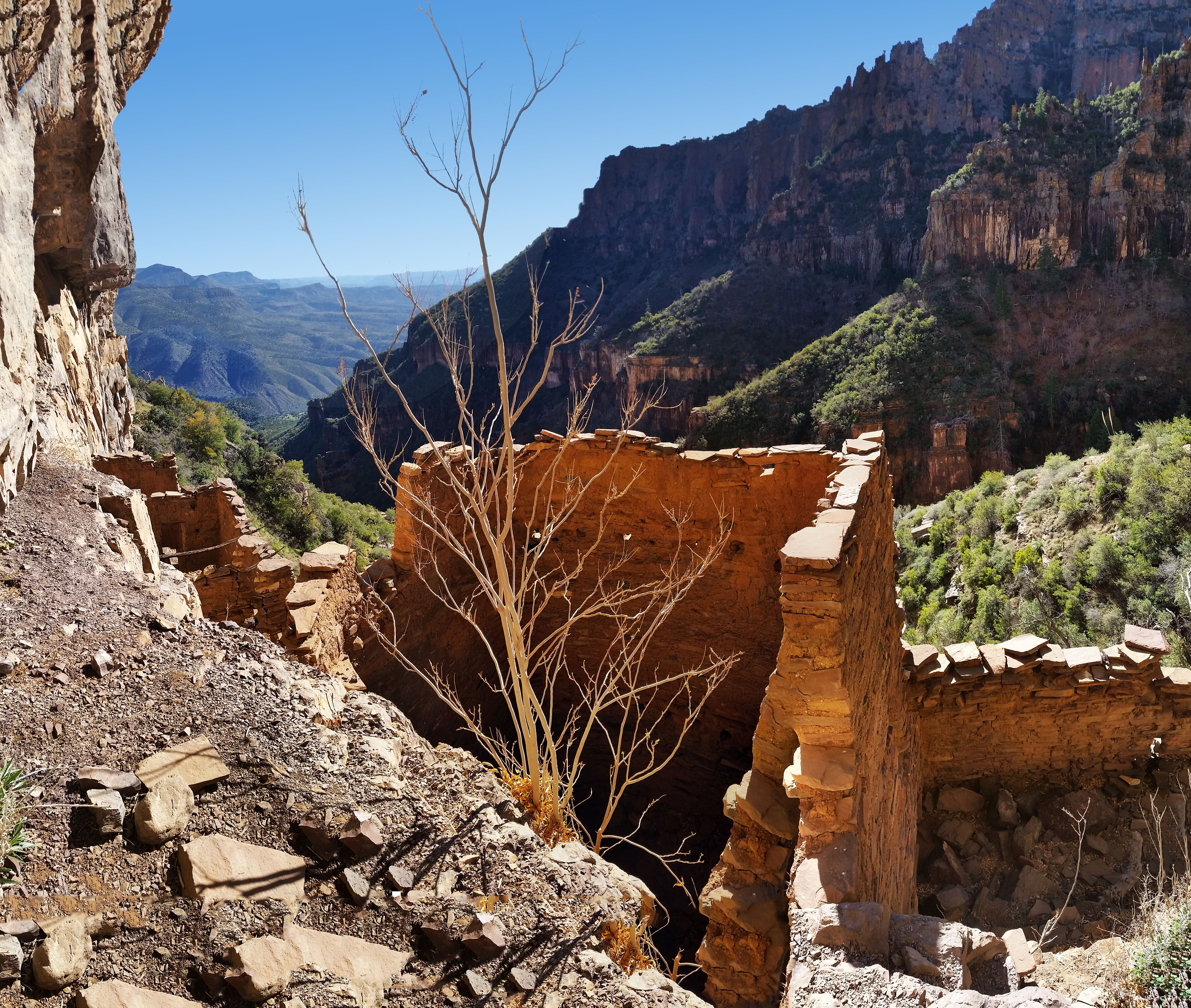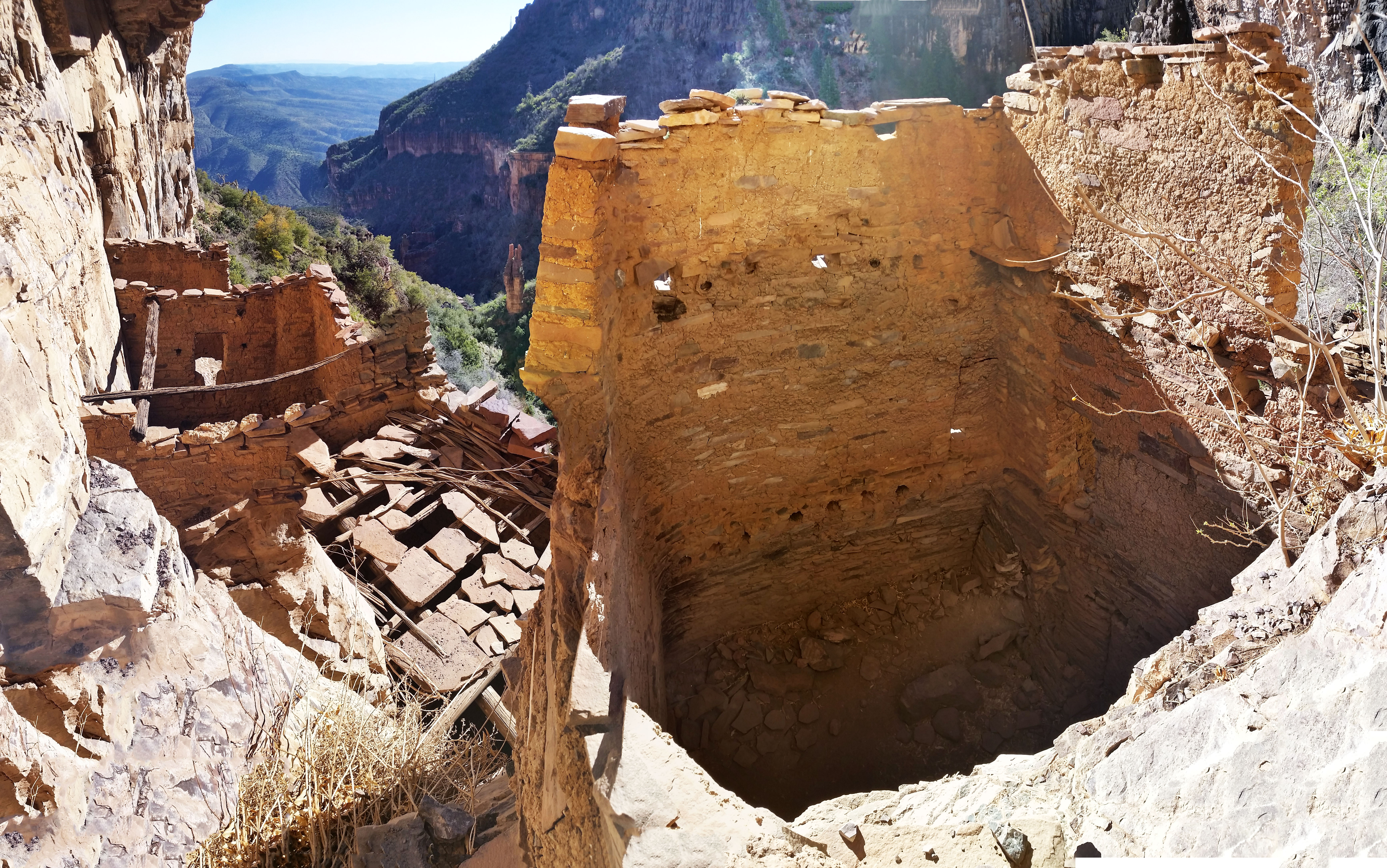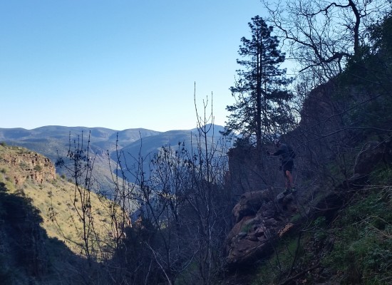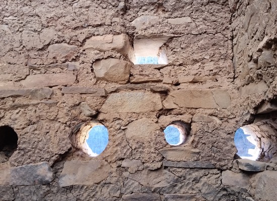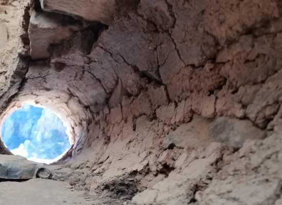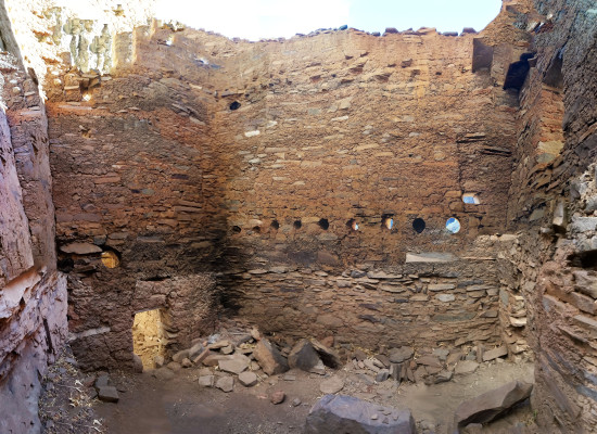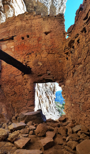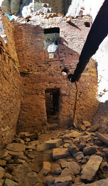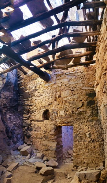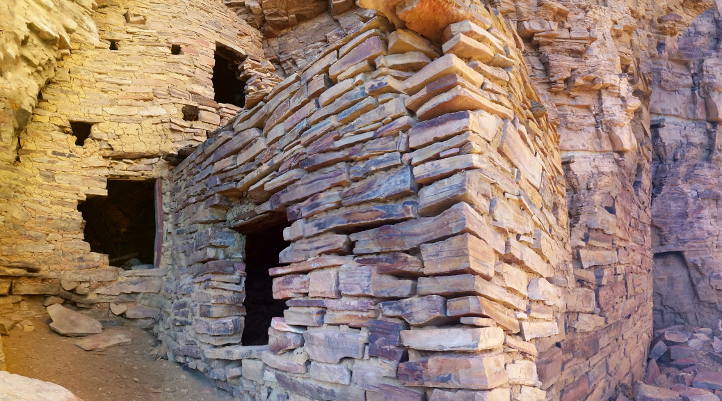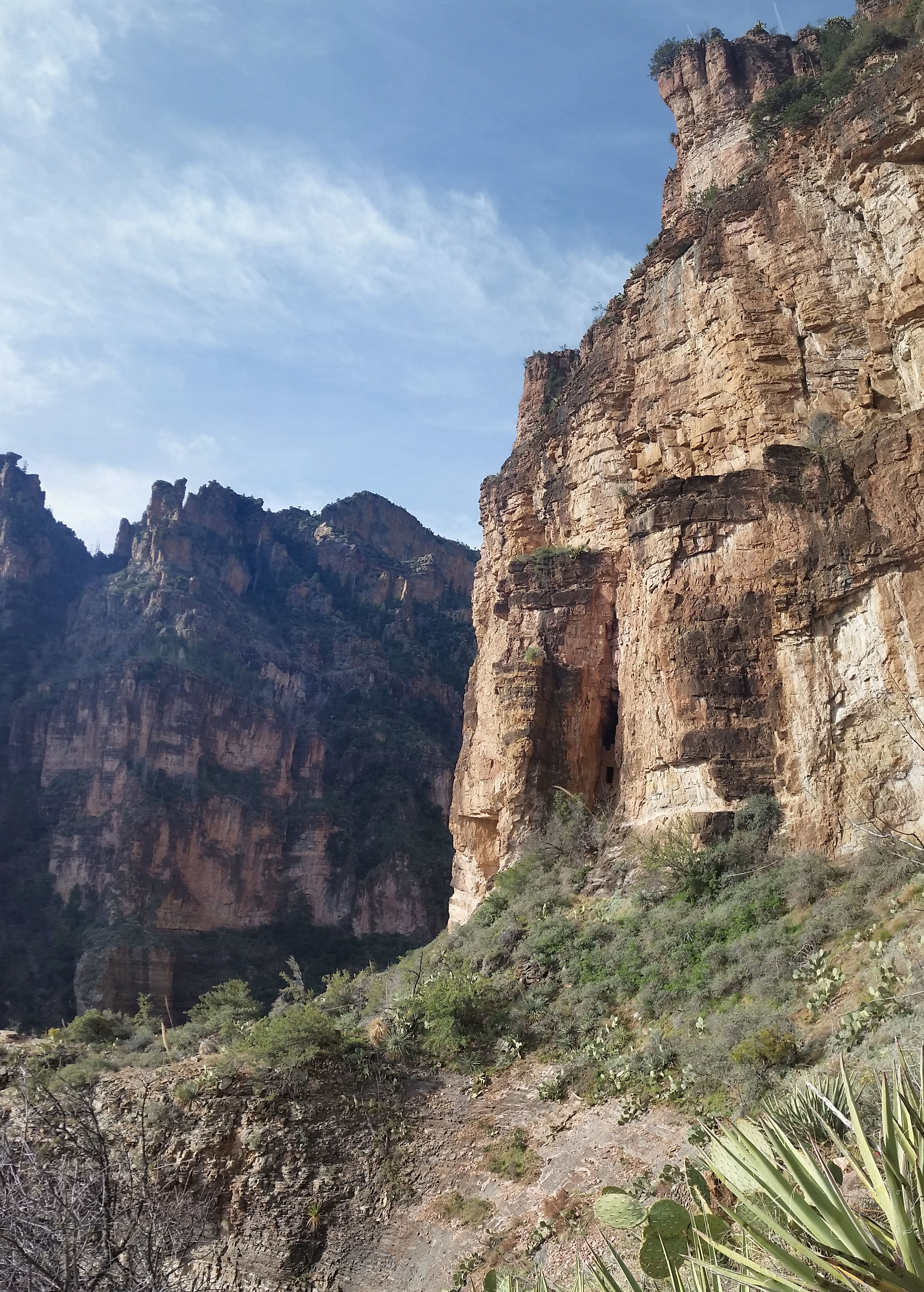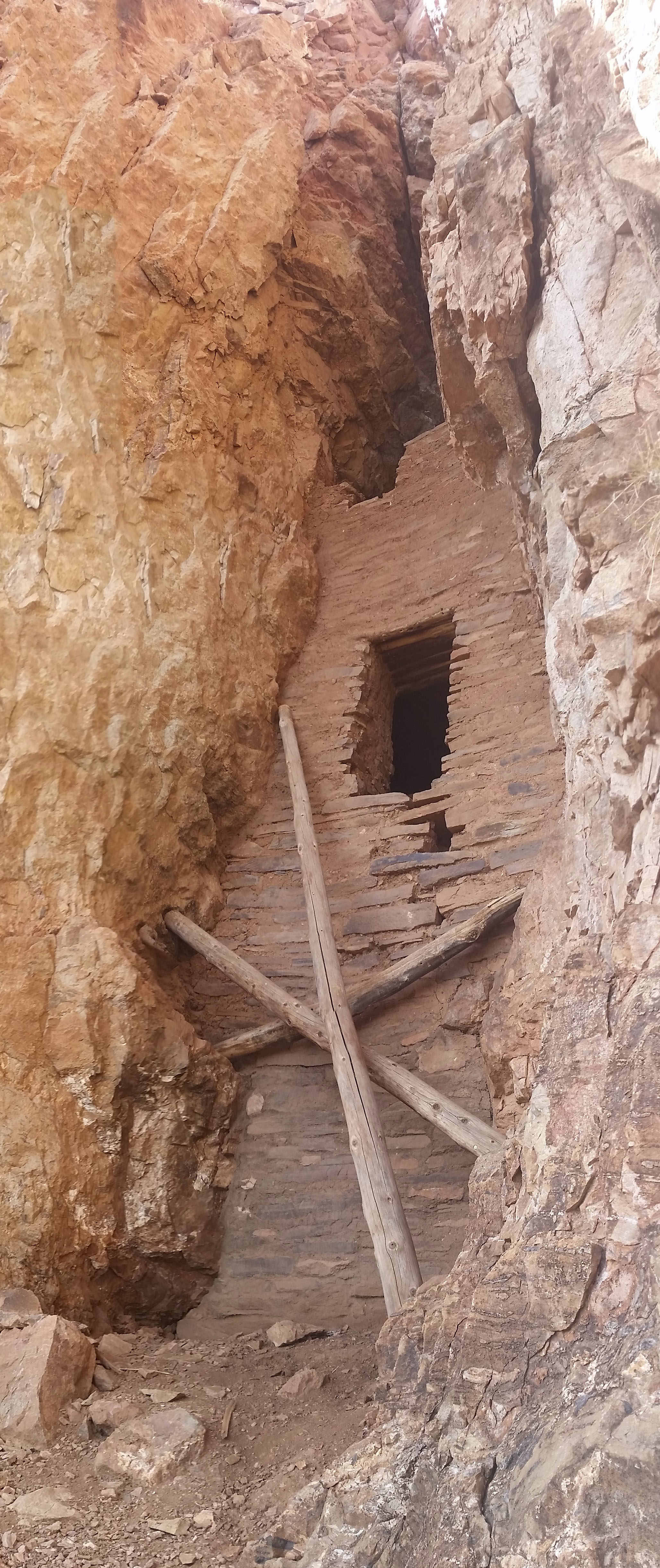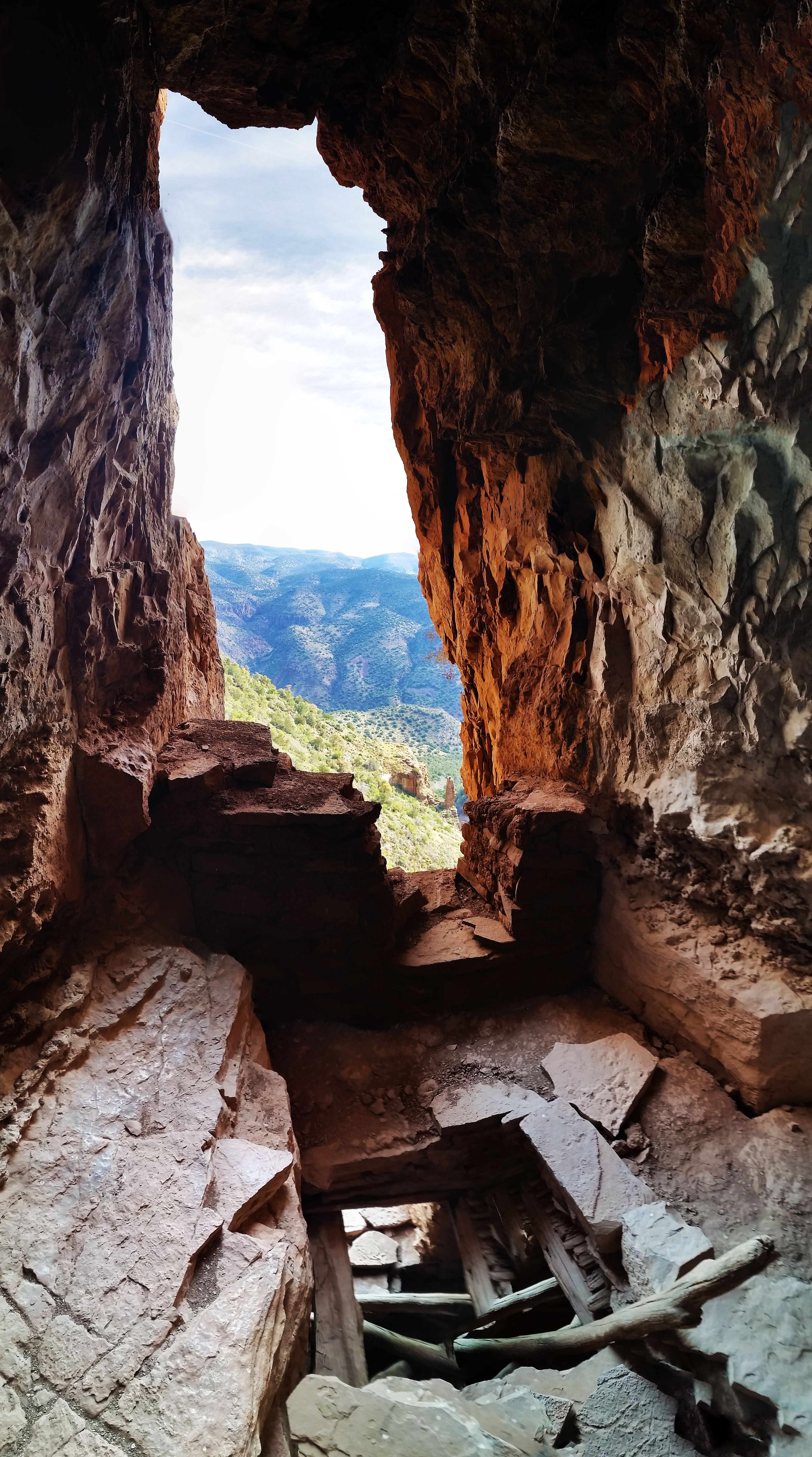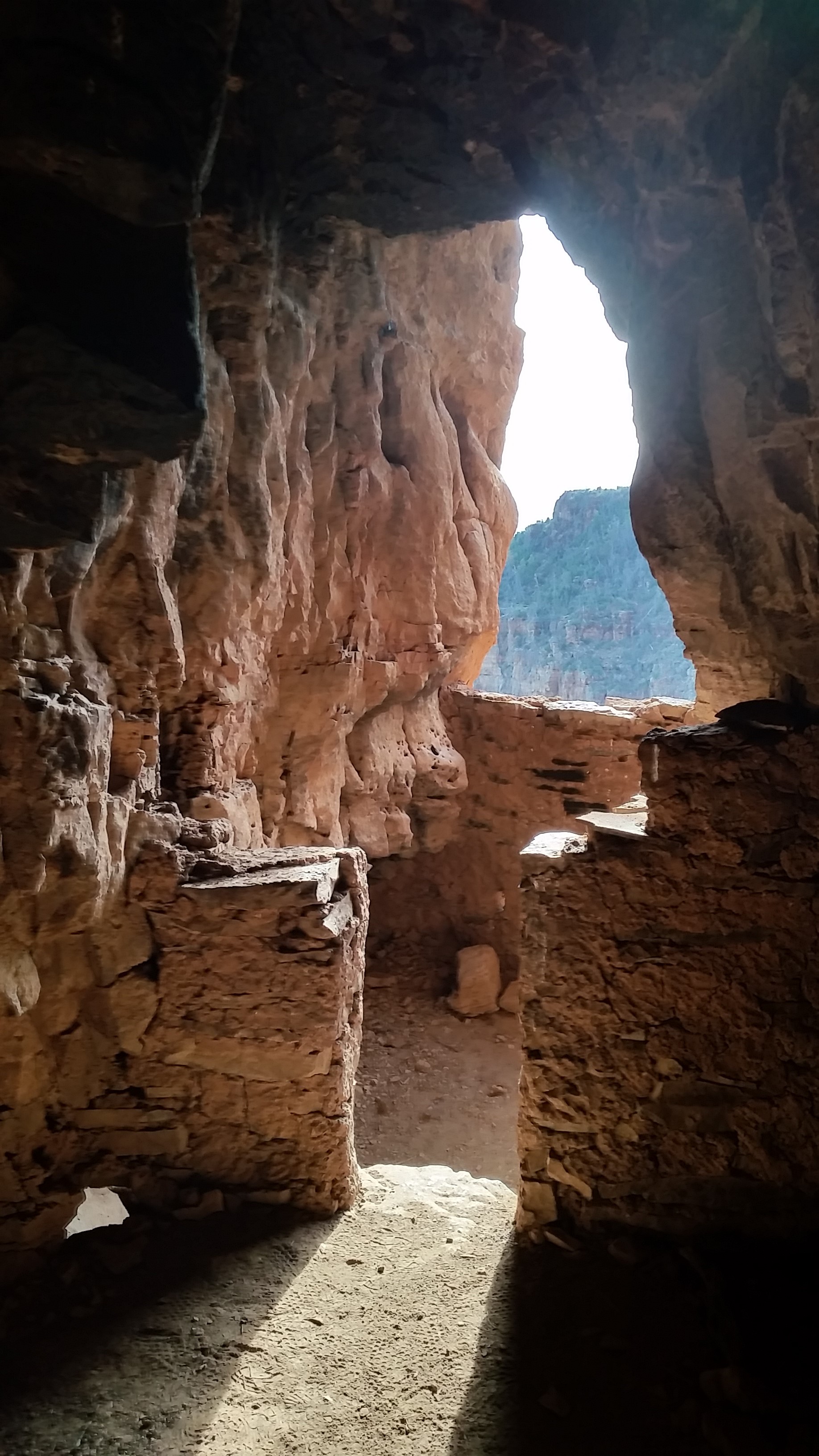
Blunt Force Brahma – Grand Canyon AZ (3.25.16 – 3.26.16) (Brahma Temple)

Share
?
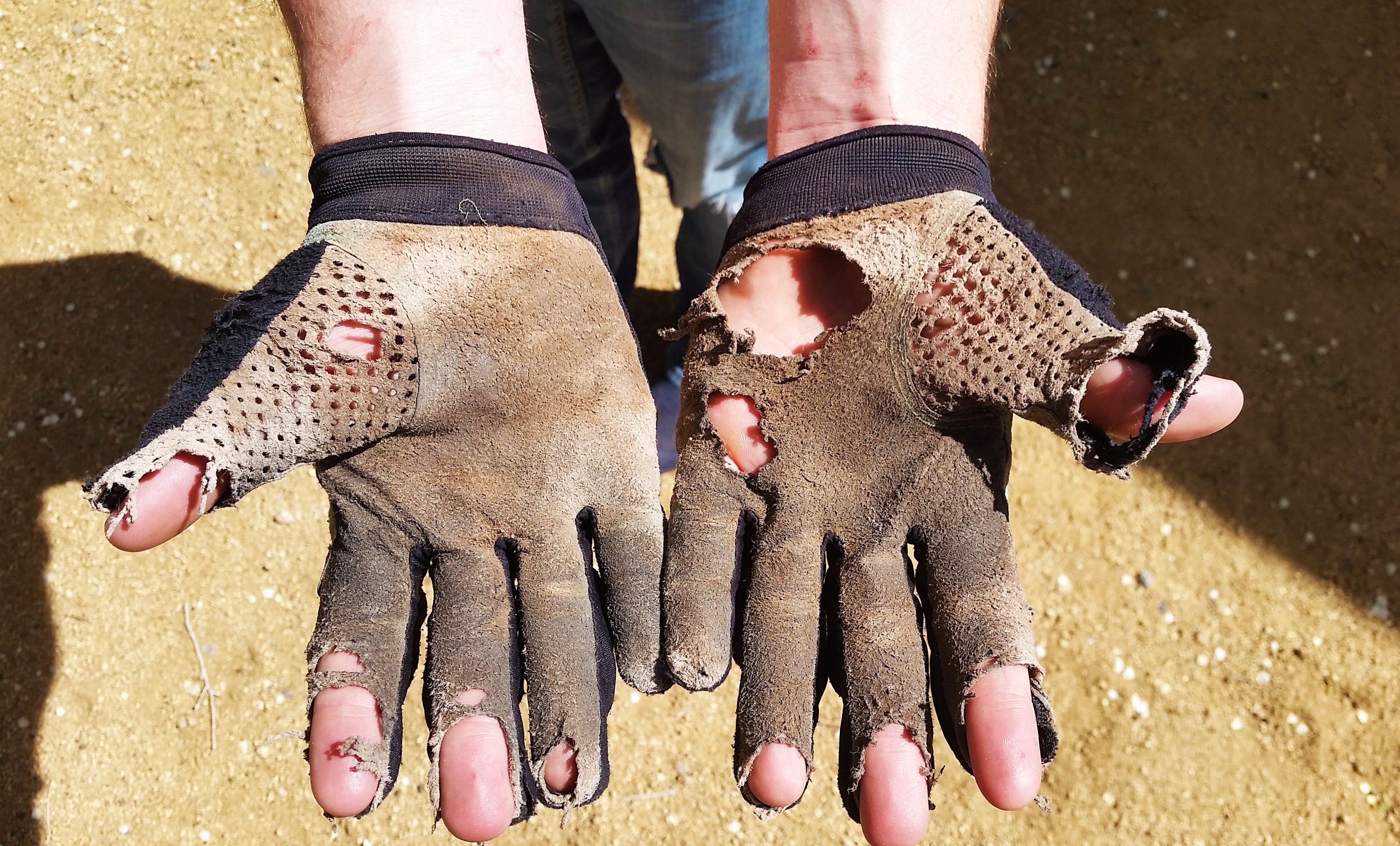
What is left of Mark’s gloves after the trek

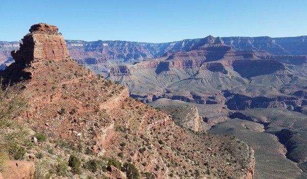
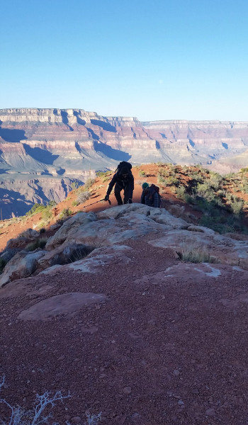
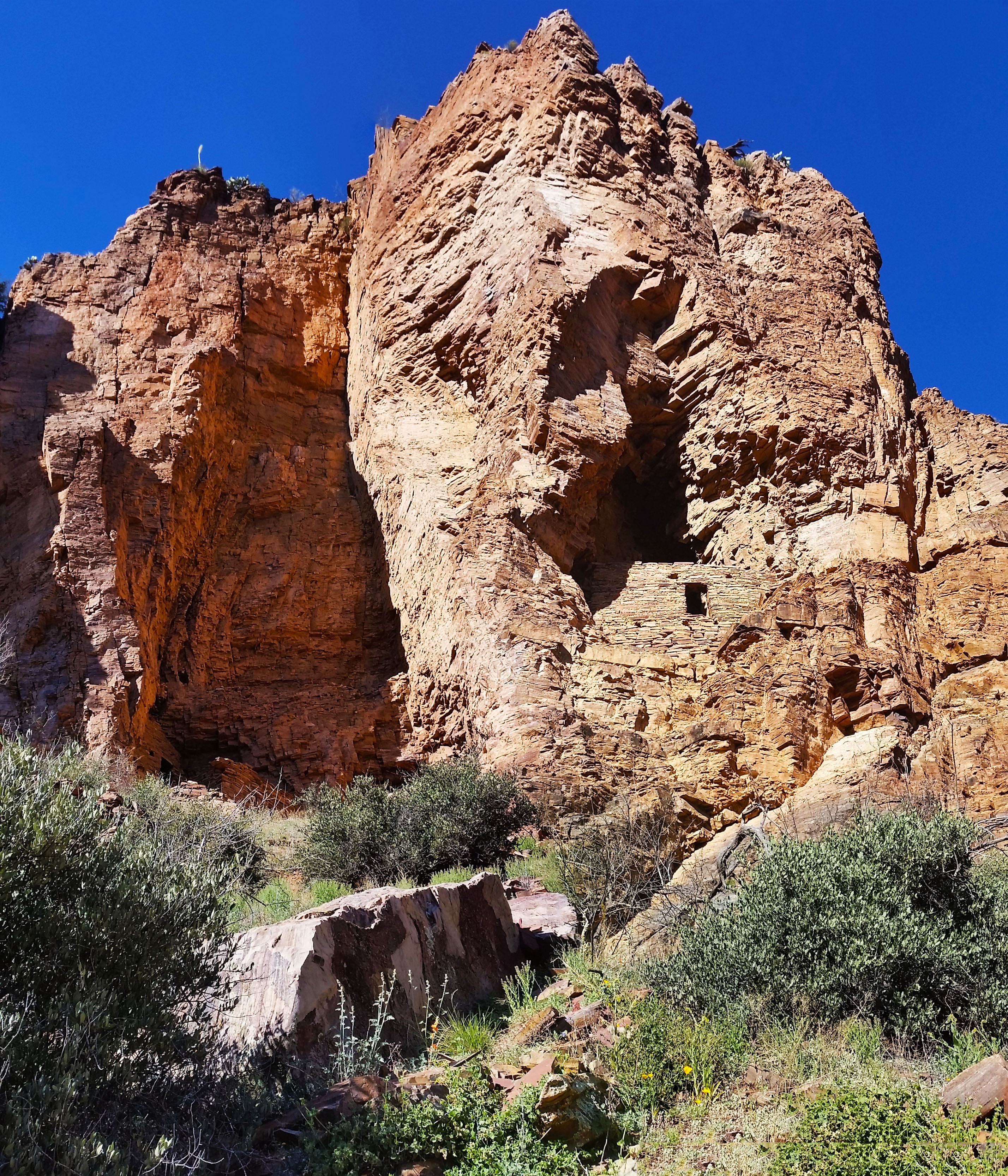
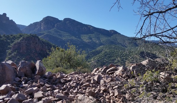
Some years ago, a few geologists (namely Charles Dutton, Charles Walcott, Ian Cambel and John Maxton, amongst others) with some extra time on their hands went about naming some of the buttes, mesas, and temples that are scattered across the Grand Canyon.  For many of these rock structures, they chose to name them after prominent figures across many different religions (i.e. Vishnu Temple, Shiva Temple, Rama Temple, Isis Temple, ect).  This particular adventure would take us up the Temple named after Brahma, the Hindu God of creation or birth.  The hike (if you can call it that) lived up to its name because I felt like a new man after!
7756263632_d6855713ce_b
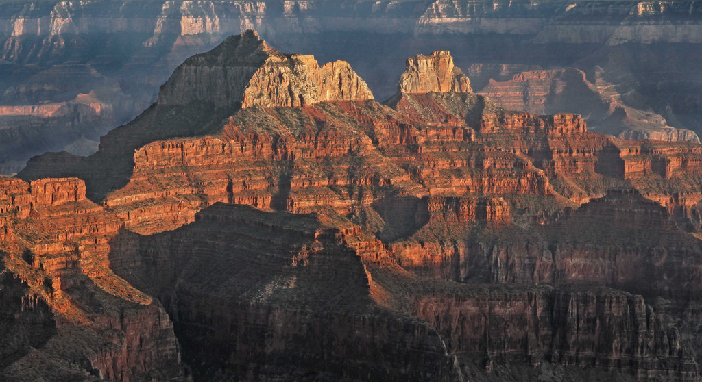
View of Brahma Temple (left) and Zoroaster Temple (right) from the North rim (thank you internet)

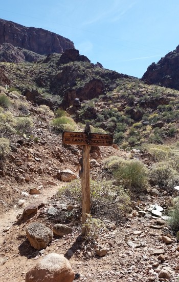
Mark, Rene, and I planned to take on the Temple as a one night backpack, but had no idea what was truly in store for us. We all did our research on the trek, knew it would be pushing class 4, low class 5 in places, but at the end of the day it’s like reading a book about how to ride a bike; you just have to get out there and fall over a couple of times. The plan was to hike down South Kaibab, cut across the canyon to Clear Creek trail, head north up the crack from Sumner wash through the red wall, break up through the Supai layer, and then camp on the western arm of Zoroaster.  The next day we would then hike through the Hermit Shale across the Zoroaster/Brahma saddle, skirt the base of Brahma, ascend the formation from a chute on the west side, and follow the ridgeline north to the peak.  We just prayed we could get down the same way unscathed by the monstrous mountain!

20160327_150001
View from South Kaibab as we dropped in (click to enlarge)

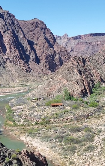
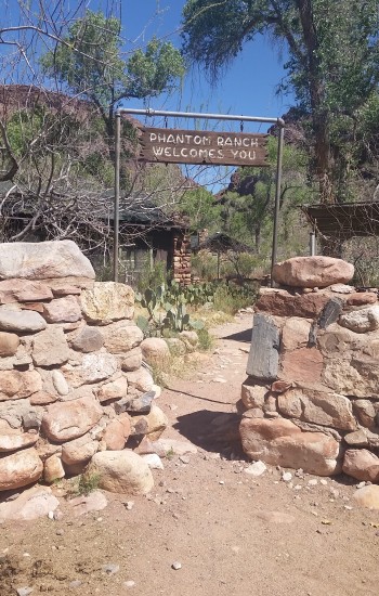
Friday morning was crisp and cool, just above freezing, as we prepared to drop in. I always get that Christmas morning feeling when I drop into the canyon, giddy with excitement.  It’s like I’m 5 years old all over again, standing over a pile of neatly wrapped presents, blood pumping with the excitement of not knowing what’s to come. We had all hiked the canyon a few times so the descent down South Kaibab was no surprise.  After a few hours, we reached Phantom Ranch and took a quick break to fill up on water that was to sustain us until the next day and into the afternoon. Sipping on lemonade from the canteen and writing some post cards to home, we were all in good spirits and ready to push onward to camp.
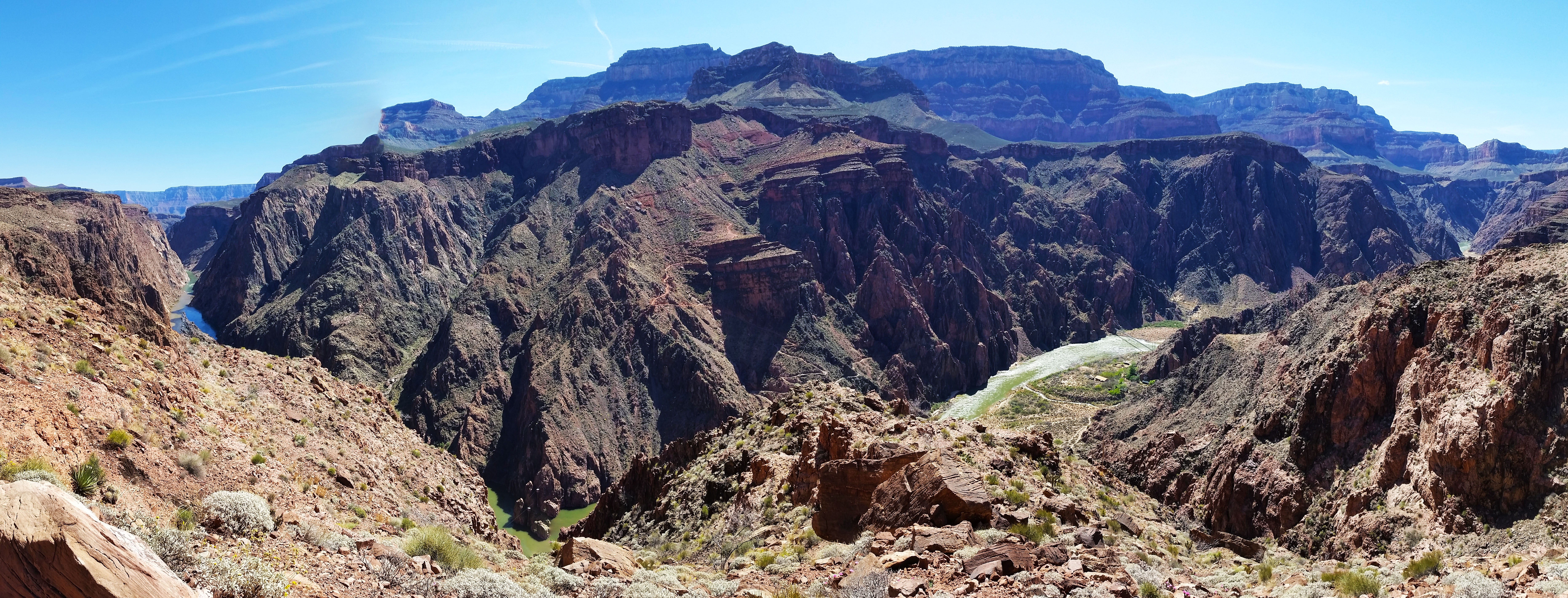
  • First glimpse of Phantom Ranch from South Kaiab
20160327_150002
View of the river from Clear Creek (click to enlarge)

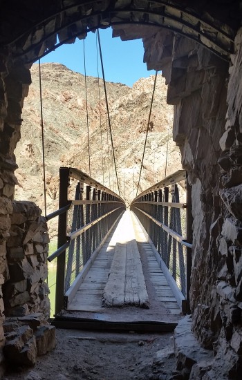
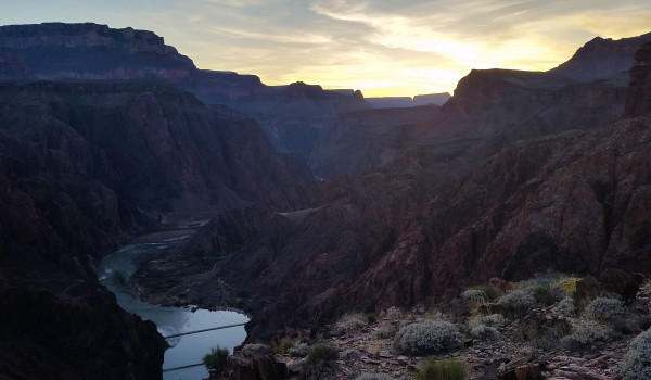
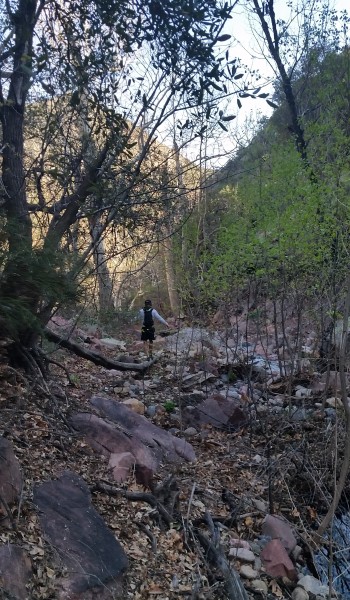
As we headed out from Phantom, the morning had finally warmed up.  The added weight from the water really sunk into our shoulders as we took on the first good gain of Clear Creek trail. As we made our way up onto Sumner wash, the views from the skirting trail over the Colorado River were incredible. You could look clear up and down the river, both the black and silver bridges visible to the naked eye.  After another good push, we were finally at the point to head “offtrail”. As expected the route went right to work with quick gain up the wash to the base of the crack.  We were soon faced with our first obstacle:  an 80 foot repel staring right back at us, daring us to climb.
20160325_134716
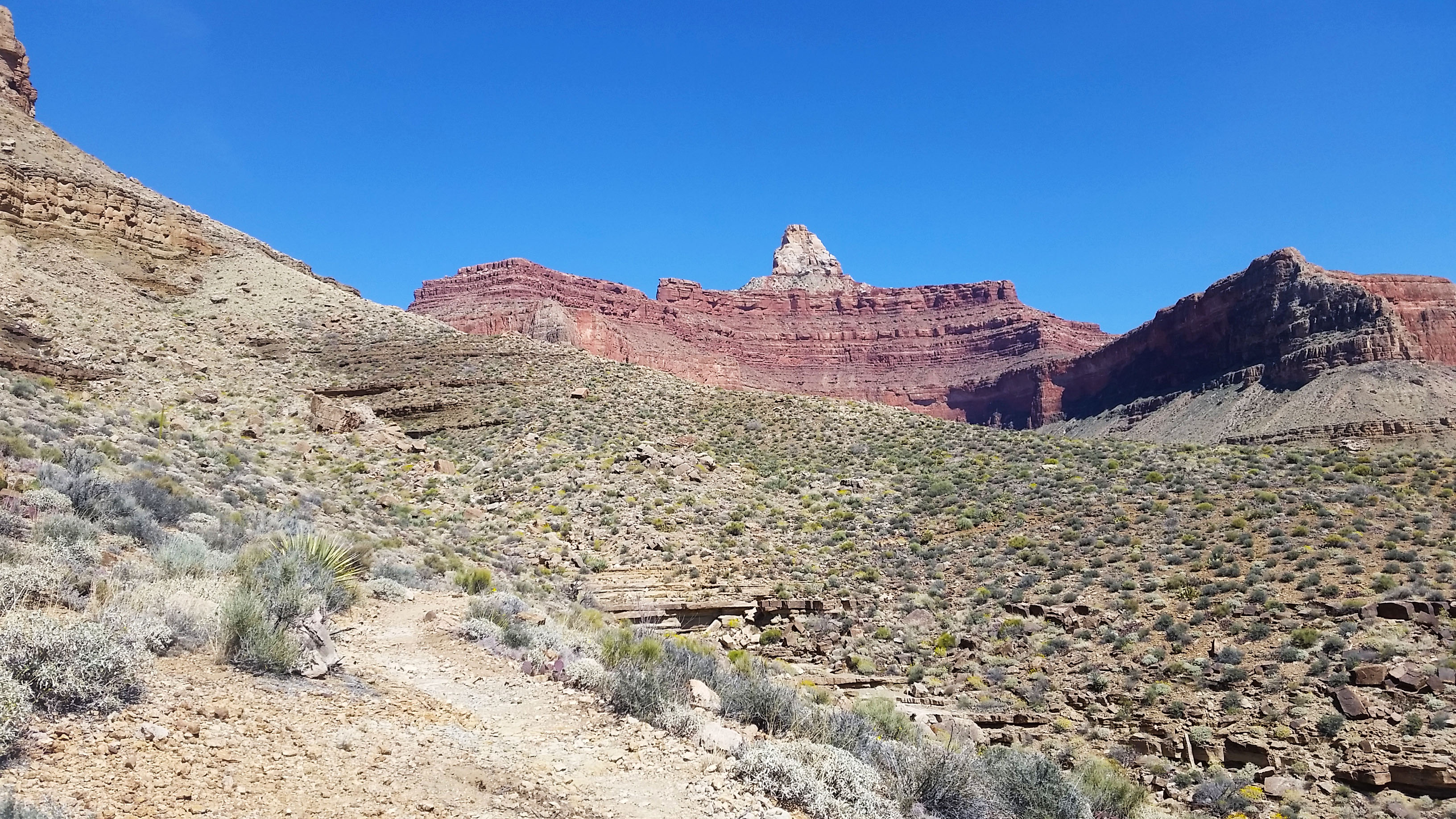
View of Zoroaster from Clear Creek, Brahma hides in the back
11laoc
Climb from Clear creek to the crack
20160327_150003
Close up of the crack and exposed climb to come

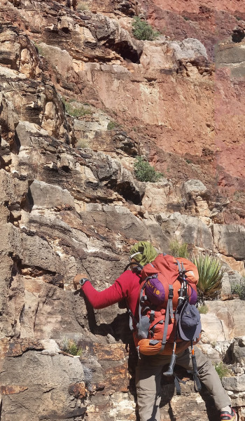
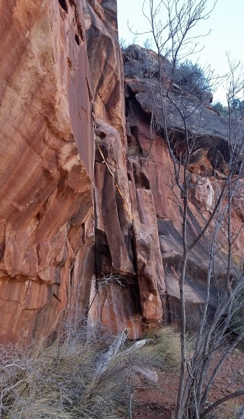
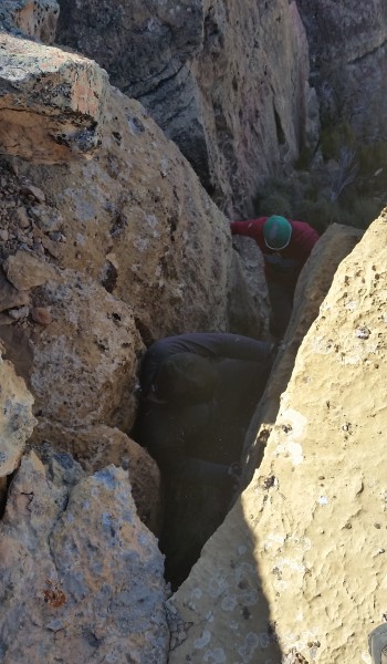
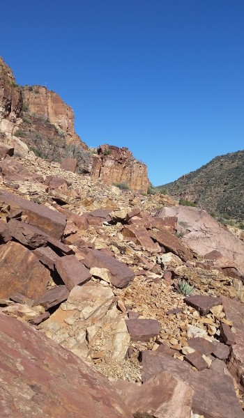
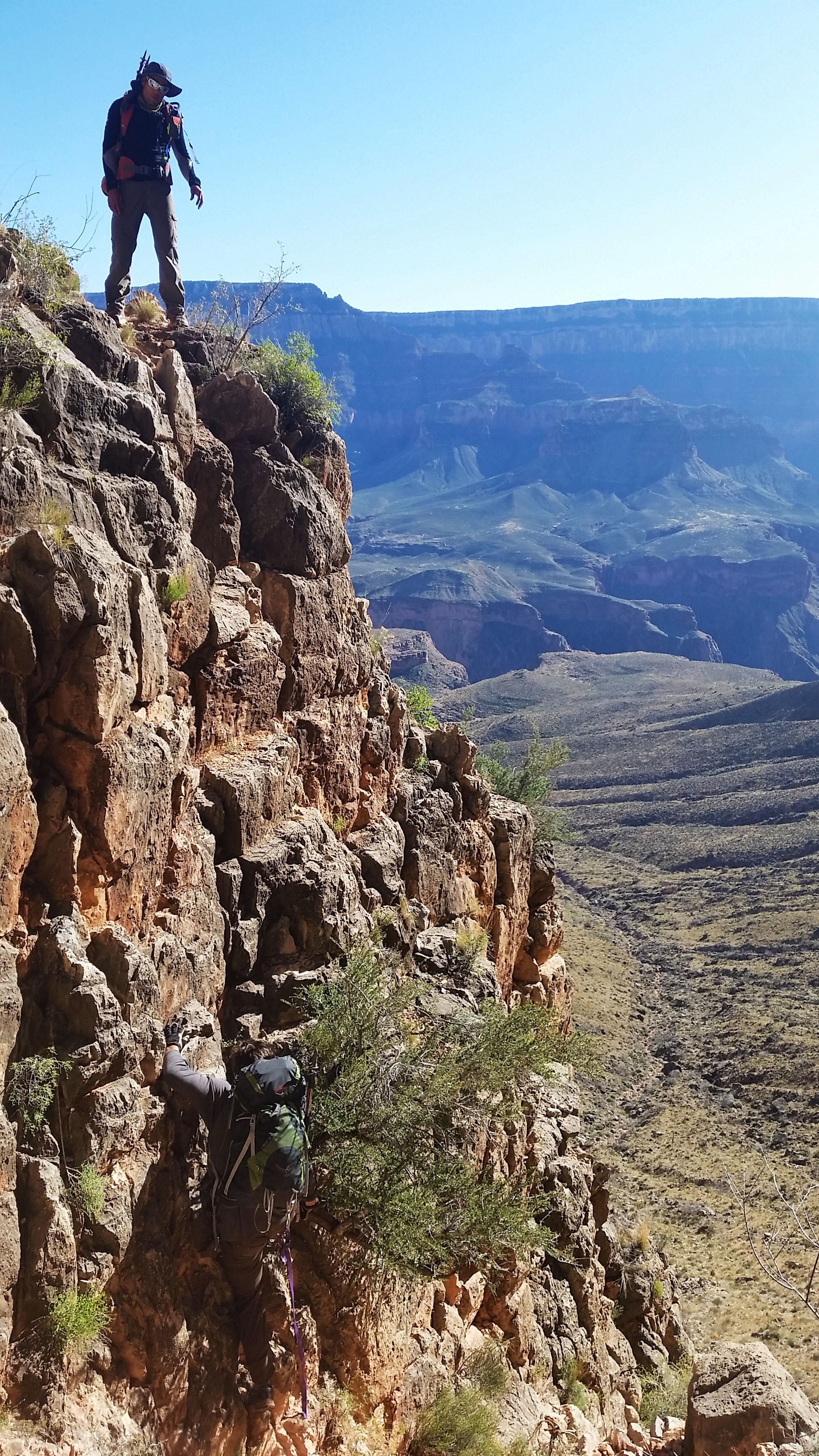
After careful deliberation we decided to take an exposed ledge, hopping to the right side of the crack (which had a skin ripping rock covered with sharp tater). At the top of the ledge, there was a small 20-foot down climb that dumped us back into the crack. Whew!! We made it past the first obstacle.  After that I knew that Brahma was really going to pack a punch! Not but a short 10-foot scramble later we hit the crux of the red wall crack. It was another climb that had a few options of ascent, all with troublesome penalties for failure.
20160326_161040
20 foot downclimb after the exposed first obstacle bypass of the red wall crack

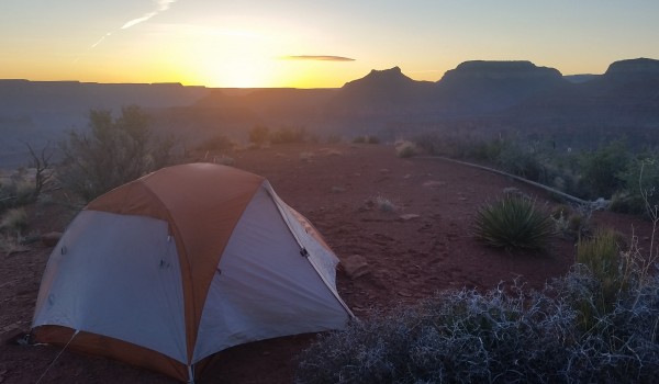
Once again we deliberated, found a route we liked, and with sweaty hands made the ascent, afterward tying off the packs and handing them up. Whew, another climb completed! After another short scramble we popped up out of the crack and made our way across the bottom side of the western Zoroaster arm. Some trail finding and a chimney crack was all that stood between us and our camp for the night. We kept reminding ourselves “slow and steady wins the race” as we methodically tackled each obstacle the climb threw at us.  There was no point trying to hurry through if it meant a being taken out of commission for a while (or worse). Before we knew it we were setting up camp, boiling water for Mountain House meals, cracking jokes, and enjoying the setting sun.  It was only the first day and we were all beat, ready for a good night’s sleep.
20160327_150007
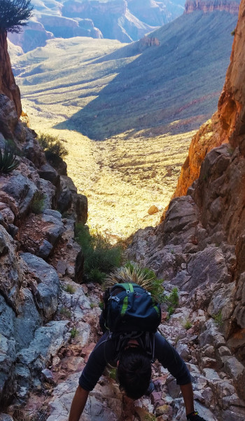
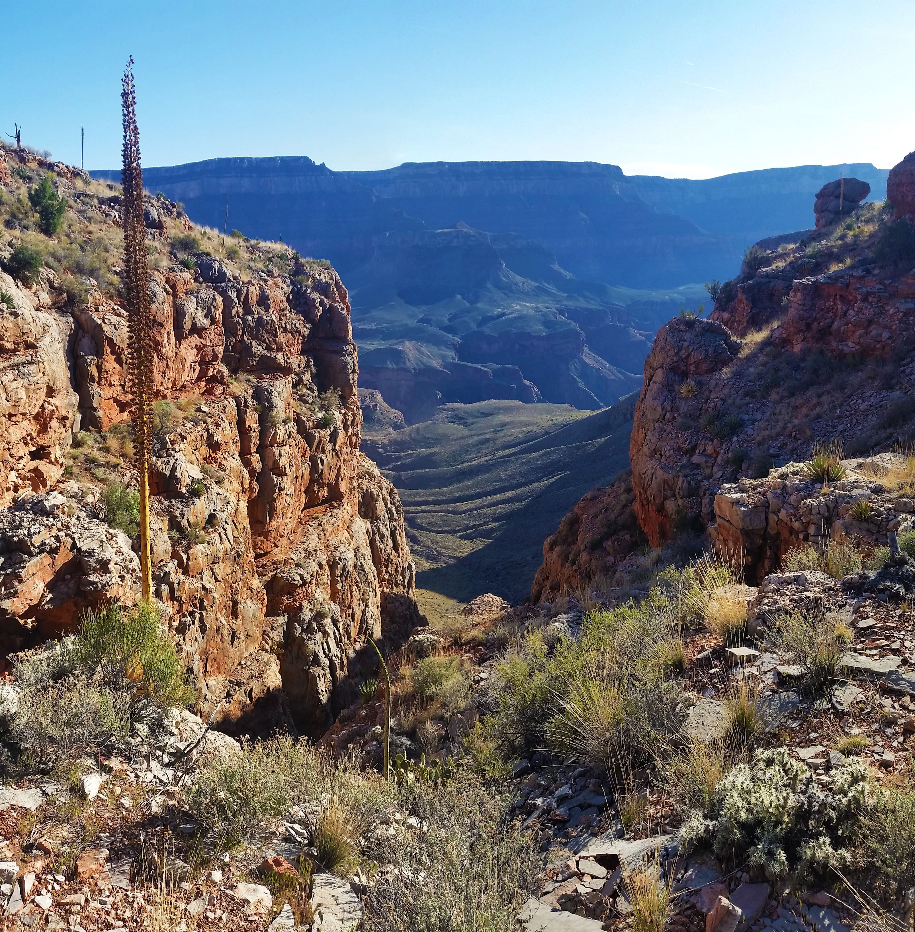
View down the Red wall crack form the top

Or so I thought…I woke in the middle of the night to the sides of the tent shaking violently! The wind ripped across the open face where we were camped, but the tent was well staked and held sturdy.  Just as fast as the wind had come it dissipated, and this cycle repeated itself quite a few times through the rest of the night.
20160327_150010
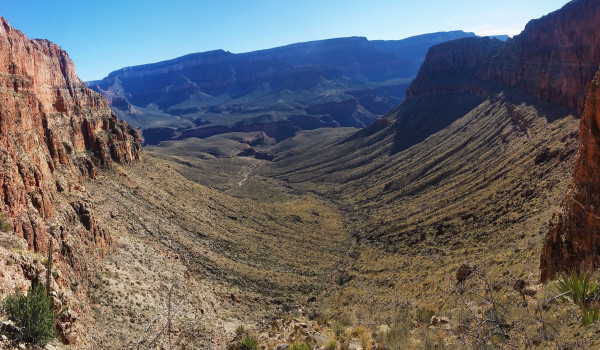
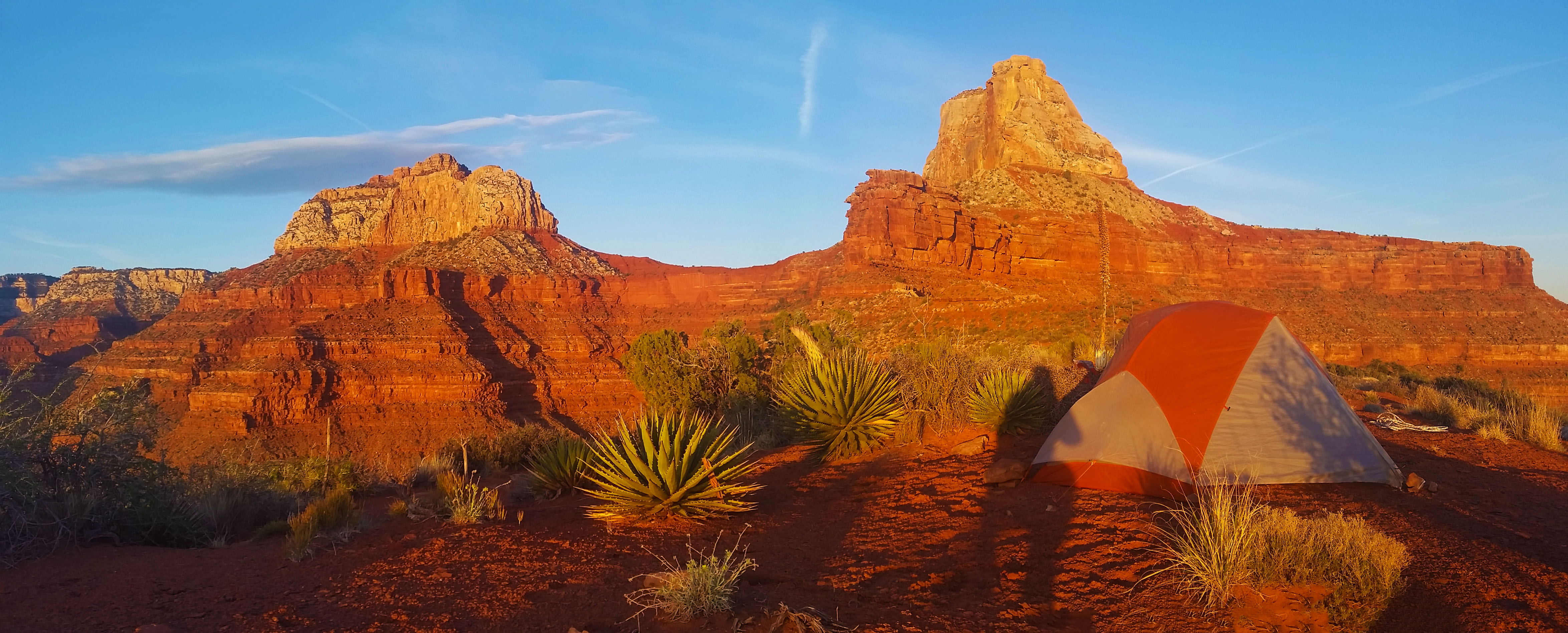
View from camp, Brahma on the left, Zoroaster on the right
20160327_150012
Sunset from camp (click to enlarge)
20160327_150013
Sunrise from camp (click to enlarge)

Soon, always too soon, my alarm blared, signaling the start of Day 2. Not only did we still have to summit (which was hours away from completion), but also find the energy to descend back to the river and hike out of the canyon via Bright Angel trail. We had our work cut out for us!
20160327_150015
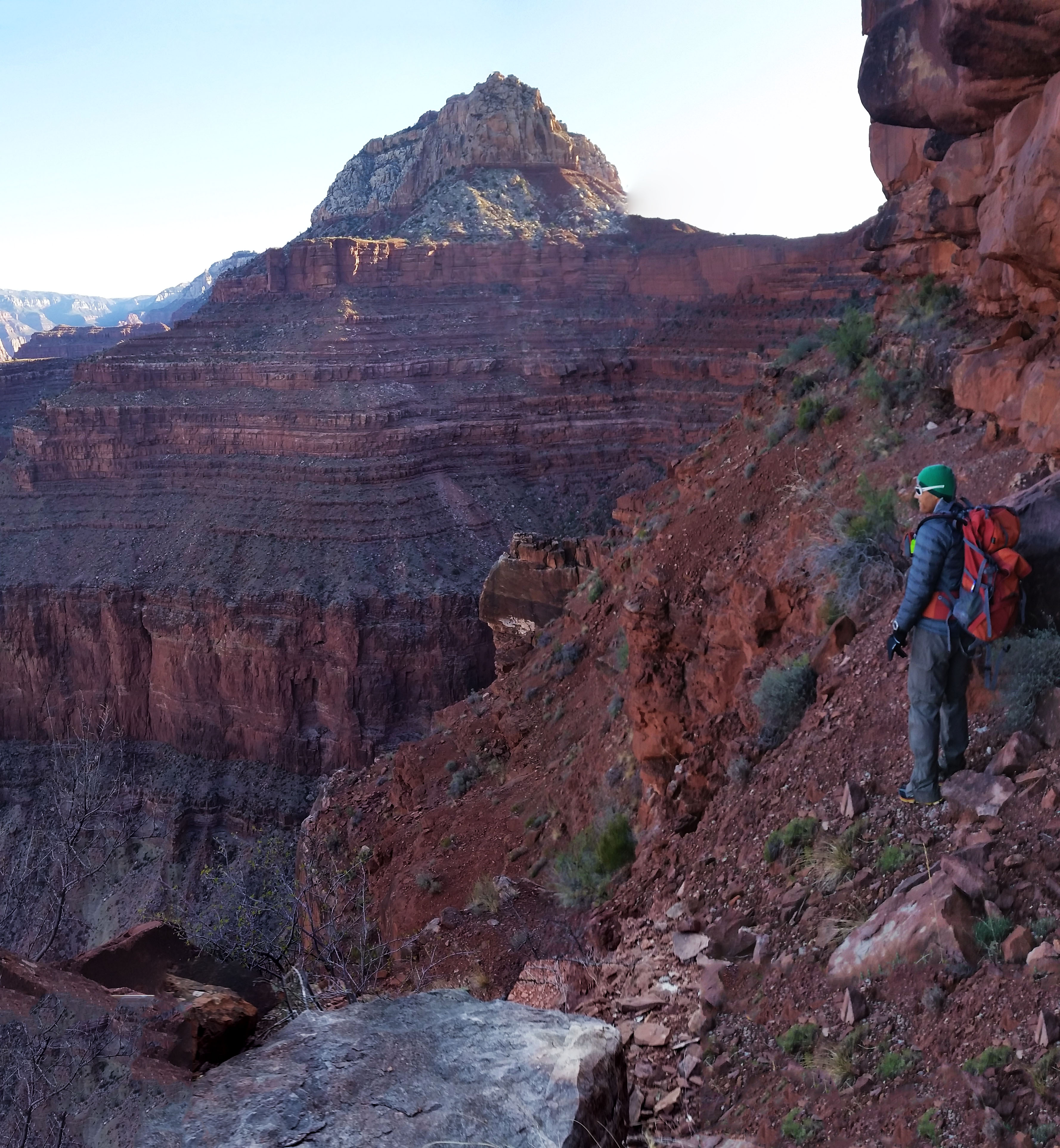
Slim skirt across the base of Zoroaster towards the Brahma saddle, tough penalties for a misstep

After breakfast and packing up camp we piled our camp gear off to the side in hopes that with lighter packs it would help us with our summit time. We quickly spanned the western arm and chimneyed up a 10 foot obstruction to start skirting the base of Zoroaster.  The trail narrowed from a short 10 foot slope to a 300 foot sheer drop in some sections. I nervously placed one foot in front of the other, clutching tight to the trekking pole in my hand for balance, trying not to think about the consequences of a misstep. Not soon enough, we cleared the first section and it was on to the 3 obstacles in the Supai layer.
20160327_150019
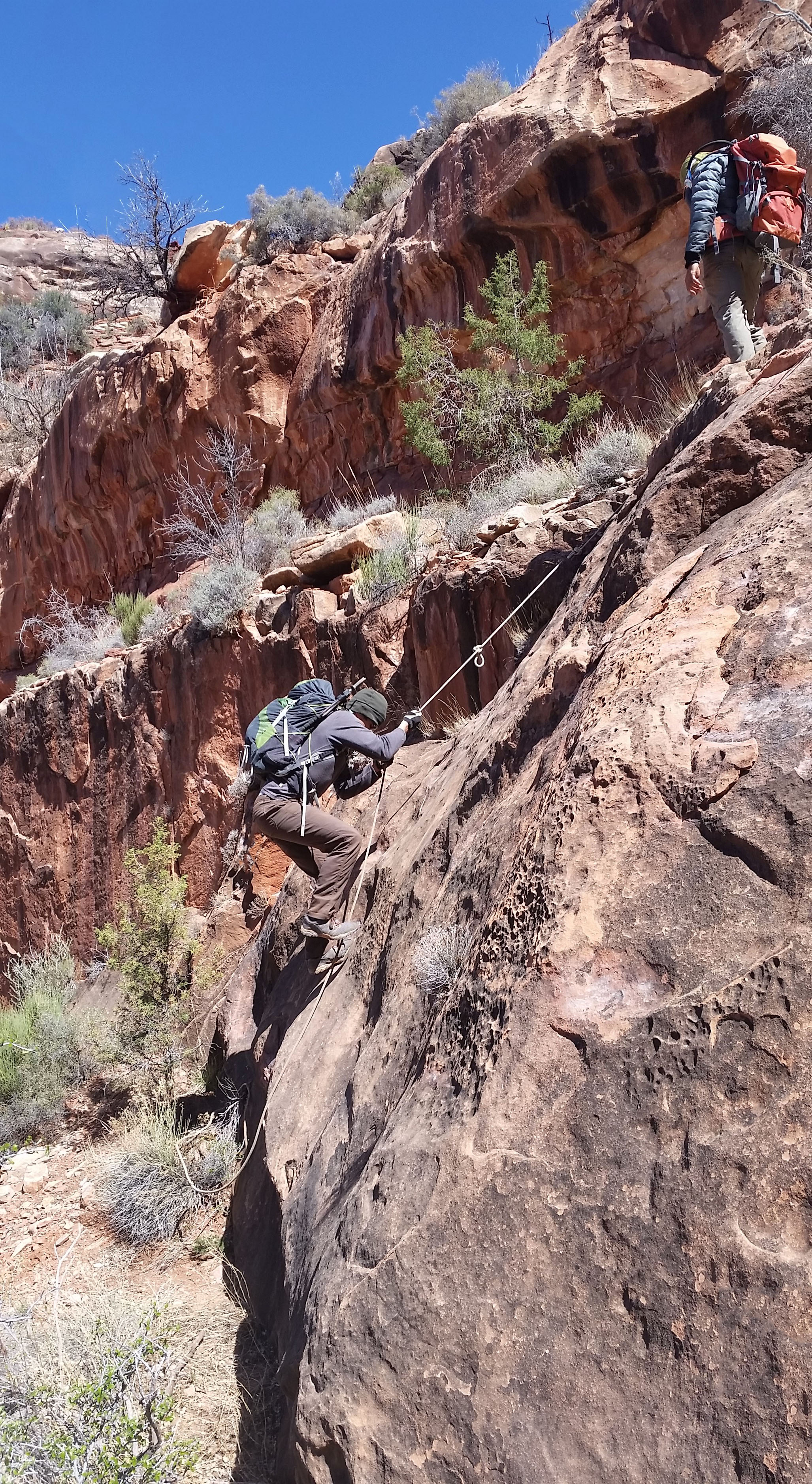
One of the Supai obstacles, easier of the three

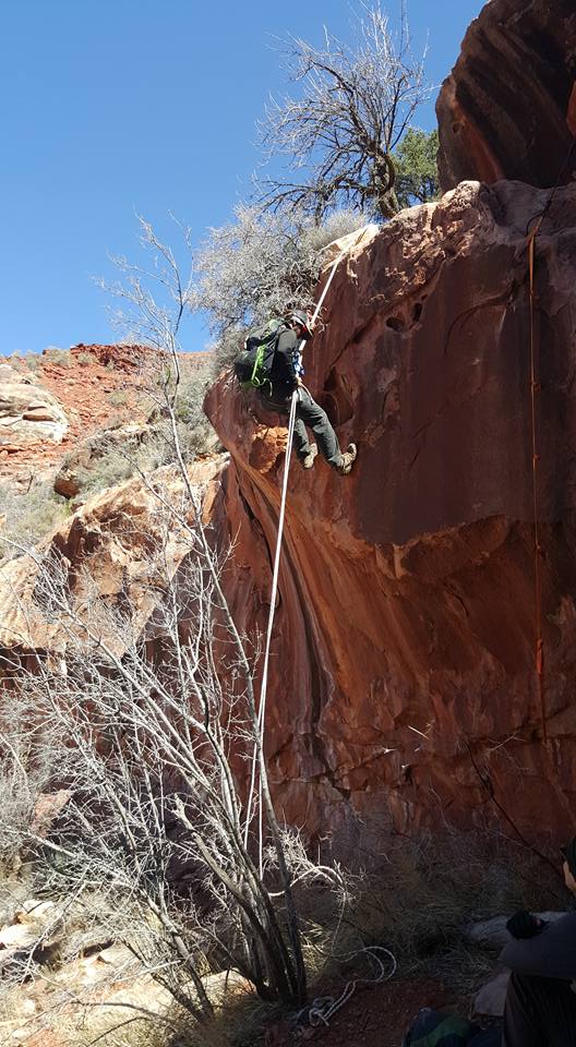
After quickly scaling the first two, which had seemed pretty mild even without relying solely on a rope, we came upon the third. This one was a little spicier in nature. Good footing on the right led to a slick rock face.  This demanded full commitment to the rope which had been left hanging…in the sun…for god knows how long…with little way of inspection. Of the 3 of us, I was the first up and have the least upper body strength. Standing half way up the climb on the ledge my leg began to shake. At this point is was show up or go home, so I put my feet on the wall and my full weight onto the rope.  I felt it stretch, along with something in the pit of my stomach.  My buddies below had their hands up just in case the worst should happen, but I knew it was pointless if I actually fell.   I pulled with everything I had, the knotted rope stayed true, and soon I was over the obstacle and onto the ledge.
401_1292998944047091_7993794652845092263_n
Repelling the 3rd obstacle, the ascent (seen on the right) is pretty spicy

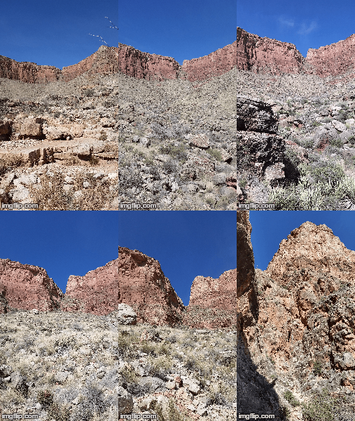
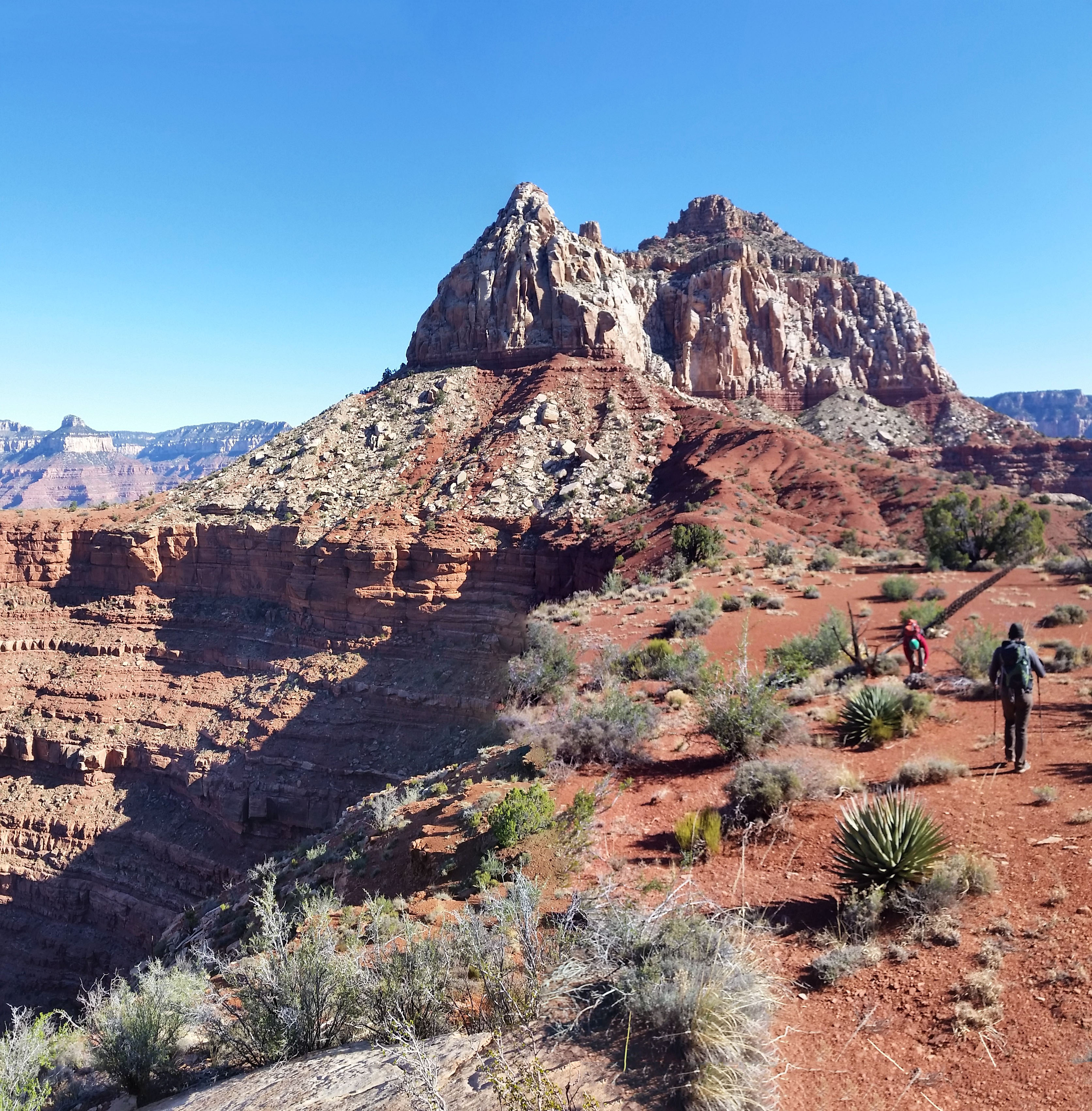
After the other two followed suit, all three of us took a moment to catch our breath, nervous and happy we had completed yet another climb. We skirted the rest of the base of Zoroaster across a long, loose sloping face which, of course as everything else had on this hike, ended in a 300 foot drop into the canyon below. Whew, the nerves were not shot but they were definitely getting their exercise. We exited onto the saddle to Brahma and after a good climb started skirting the base of Brahma. In the description it says “Easy Peasy Skirt” along the base.  The wisdom, however, is that everything should be taken with a grain of salt when it comes to summiting a Temple. The skirt went up and down, but overall wasn’t too bad except for the 3 or 4 spots where the slope ended in a downward spiral to an early grave. As we reached what we thought was the end of the skirt (according to the GPS track), we looked right to find the canyon we were supposed to ascend. There was nothing in sight.
20160327_150016
Zoroaster/Brahma saddle!

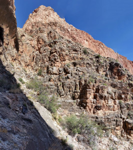
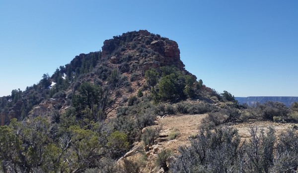
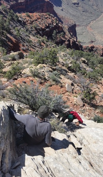
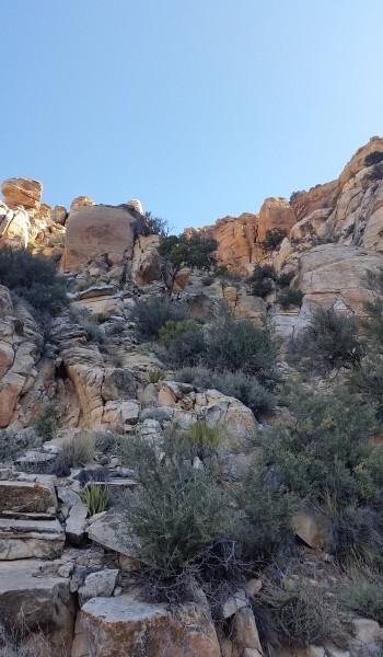
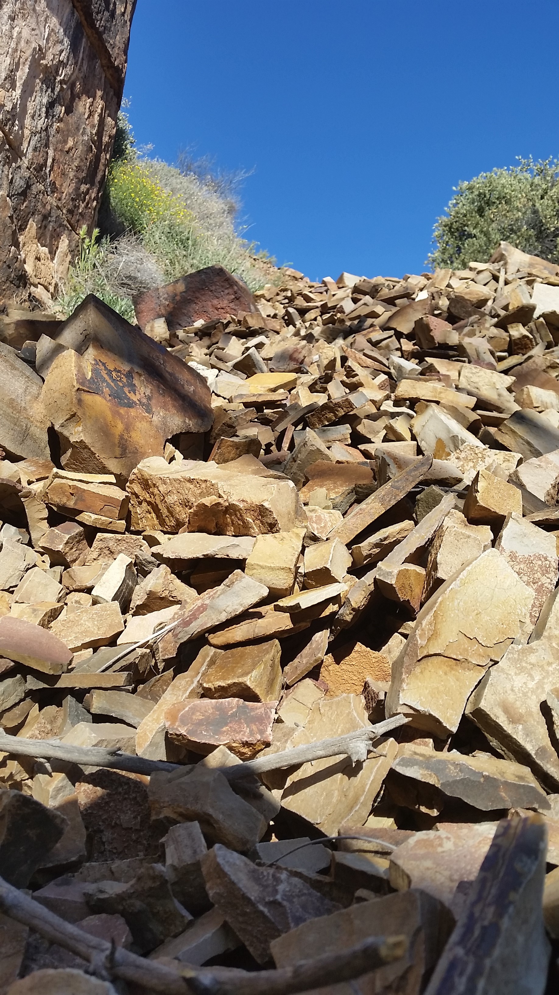
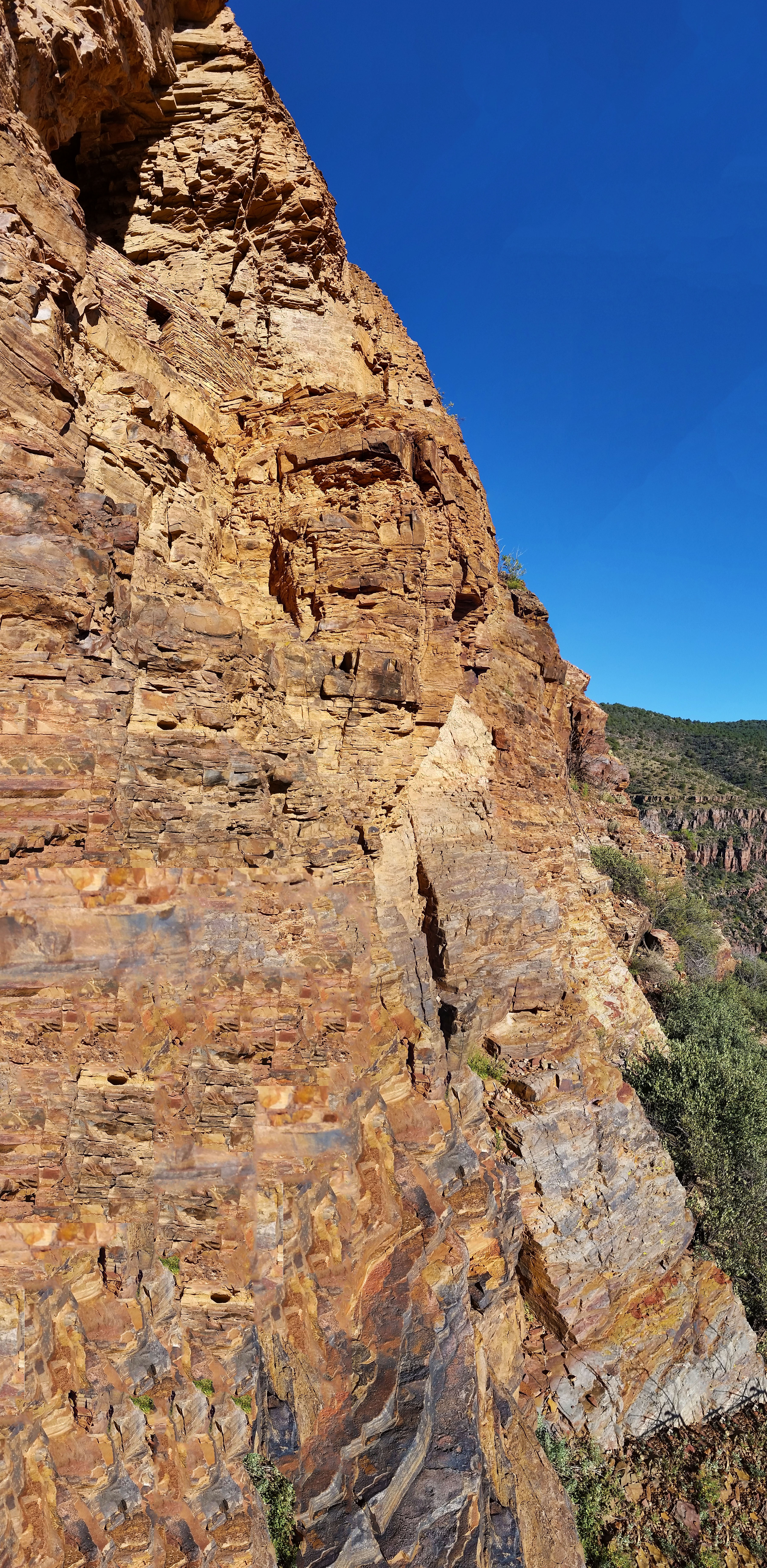
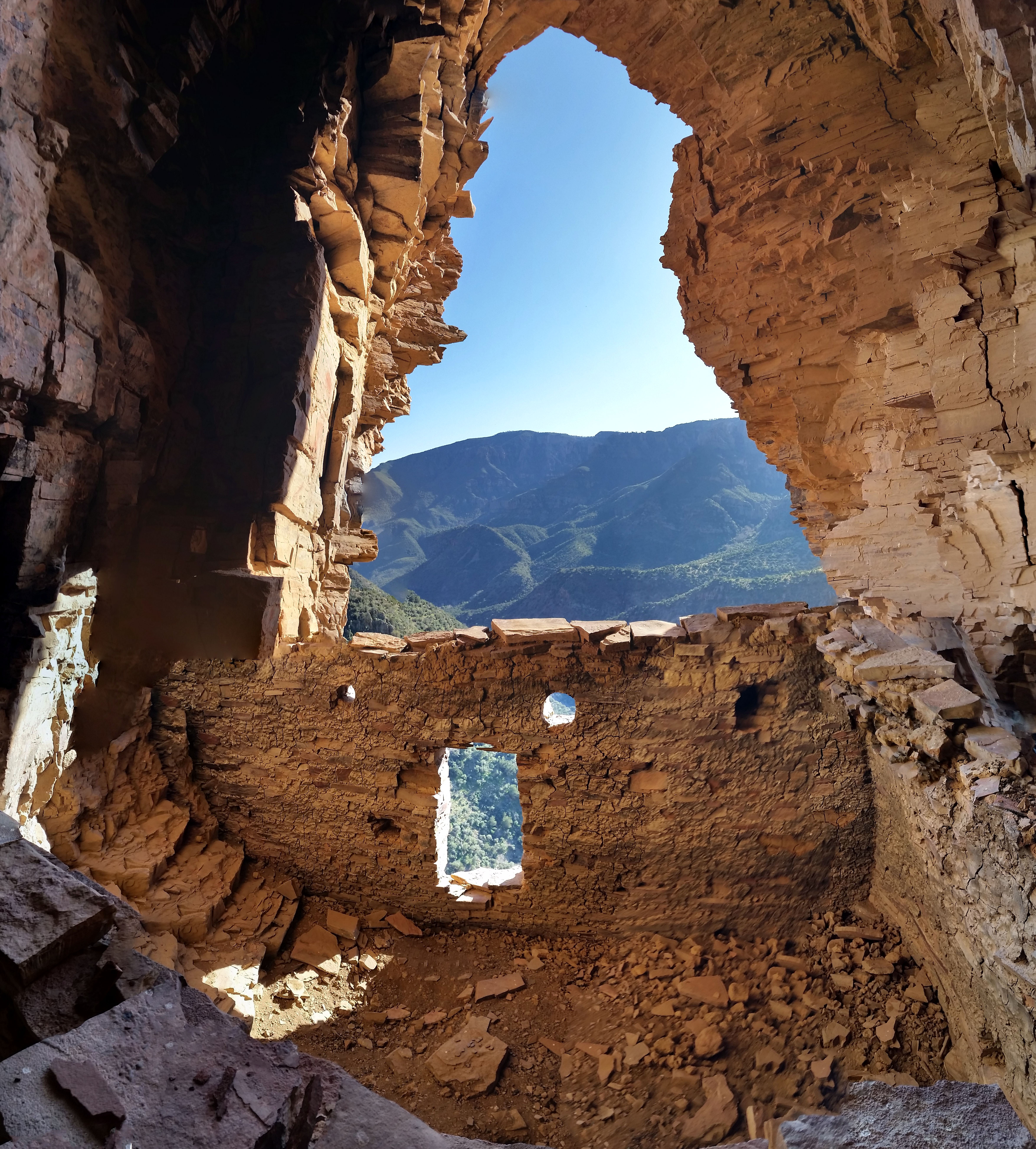
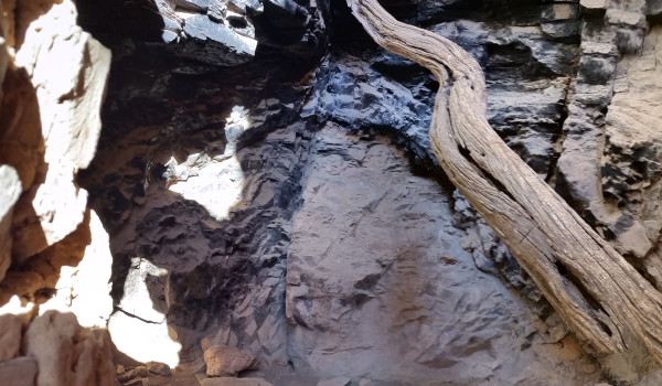
After careful consideration and close inspection, we found the only line that didn’t look like a 5.10 climb or seemed as though it could “go”. We dropped pack, chugged water, and prepped for the unknown.  In all the research we did, there wasn’t much note given to the canyon that leads to the north ridge to the summit. Let’s just say that was a slight oversight! The first 15 foot climb ended in an exposed shelf skirt that the word “sketchy” cannot truly describe. After the skirt we tucked into the canyon, carefully and slowly choosing our line, ascending obstacle after obstacle, before reaching the north ridgeline and finally the sunny summit. My god what an ascent!  By far my hardest to date. It definitely pushed my limits, but I couldn’t really fully enjoy it because I wasn’t actually sure if we were going to make it down safely, which of course is always the primary goal.
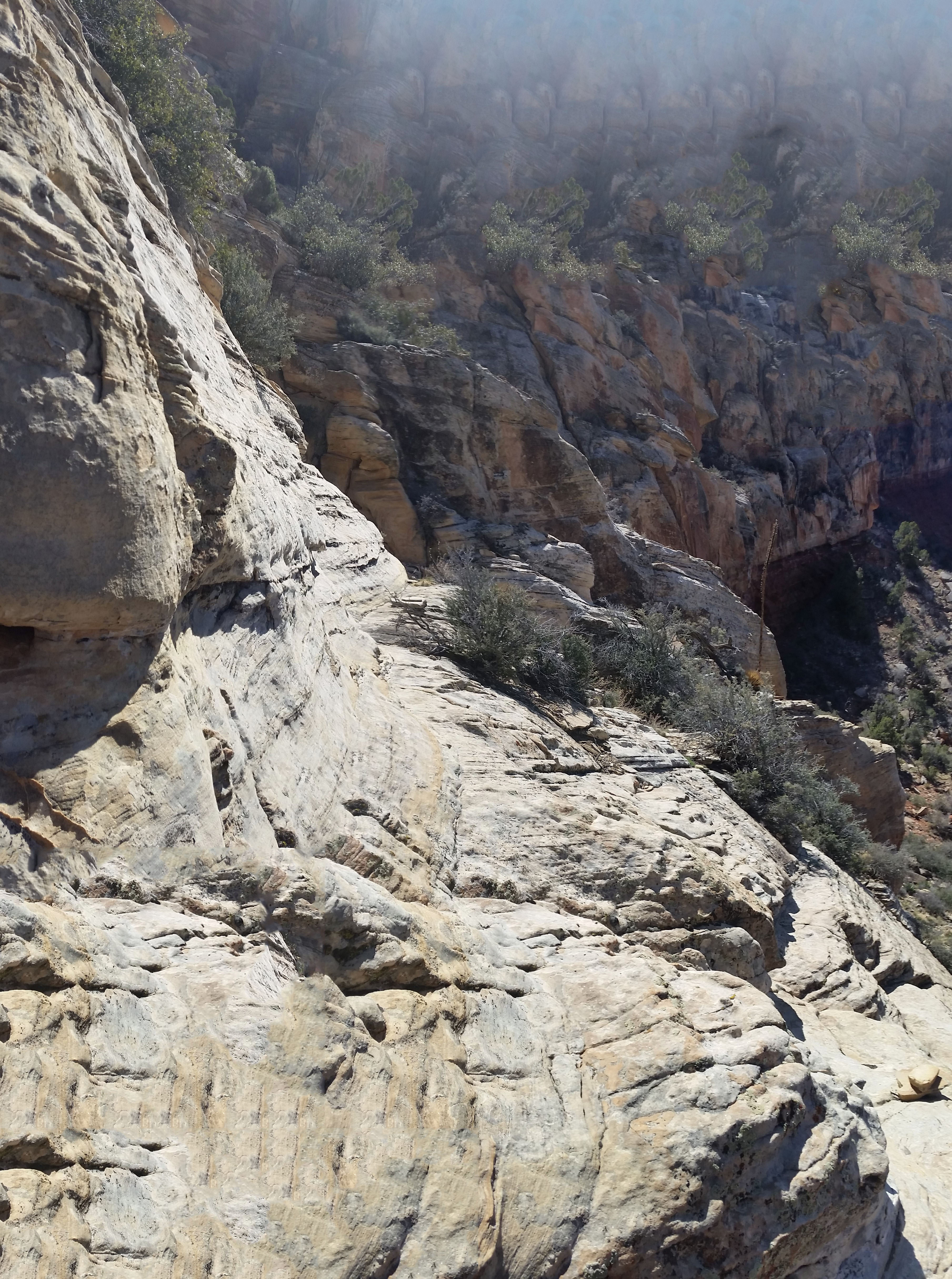
20160327_150018
Showing the sloped shelf skirt traverse, nice sliding dropoff to the right, hold on tight! Oh wait there are almost no hand holds . . .

The mind is a strange thing, though. Once you challenge it, it expands. Every section where I was worried or nervous that we couldn’t return that same way felt grades lower in toughness on the return trip. Each down climb seemed doable, and repels that bypassed 2 of the hardest obstacles made the descent much more livable. After an exhausting day, we finally reached Clear Creek trail. We cracked a few brews to celebrate that the hardest part was over. It didn’t matter that we still had 13 miles to hike out in the dark, which we knew we wouldn’t complete until almost 2 am, because we had just summited our first Grand Canyon Temple. What an incredible journey, no words or pictures can begin to describe its brutal beauty.  Despite the mental and physical toll the climb exacted on me, I can’t help but be excited to start planning the next one.

  • South Kaibab
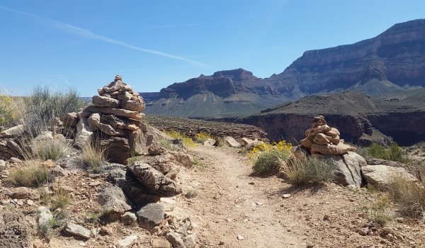
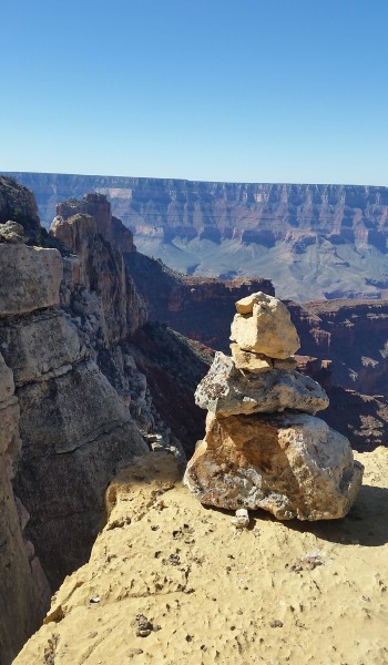
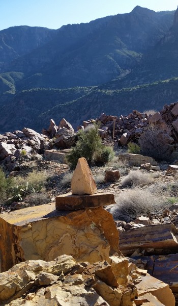
  • Cairn noting the exposed bypass for the fist obstacle

HIKE INFO:

http://hikearizona.com/decoder.php?ZTN=1070

HIKE STATS:

  • Weather: Hi 60s, Low in the lower 20s, Sunny, Slightly windy
  • Water: 8 liters (2 days)
  • Food: 4 protien bars, 6 Clif Bars, 2 granola bars, 2 via starbucks instant coffee, 1 Mountain House, 2 bags of Quinoa, instant mashed potatoes, 1 bag ProBar gummies, ProBar Meal bar, 2 bags of trailmix, Haribo gummy bears, 2 Kind bars, bag of Pringles, bag of salt and vinegar chips
  • Time: 2 Days (Hiking time – 9 hours, Day 1; 19 hours, Day 2)
  • Distance: 30 Miles round trip
  • Accumulated Gain: 10,700 feet

GEAR:

  • 58 liter exos osprey backpack
  • Big Anges Copper Spur UL2 tent
  • Flash REI sleeping pad
  • Cosmic Down Kelty Sleeping Bag (rated to 20 deg F)
  • Jet Boil – Sol
  • Black Diamond trekking poles
  • Corax Harness
  • ATC belay devise
  • Black Diamond carabiner
  • Phantom carabiner
  • 10mm Rope – 60 feet
  • 6mm prusik
  • 2 – 180 mm slings

CLOTHING:

  • Smart wool 195 long sleeve shirt
  • Arc’teryx hoody
  • Cloth bandana
  • Patagonia Pants
  • Merrell Mid Moab Hiking Boots
  • Darn Tough wool medium weight socks
  • Threadless hoody
Share

Mazatzal Peak Redux – Central AZ (3.12.16)

Share

So I figured I’d do a quick addition to my Mazatzal Peak post (original post: https://goatmanmike.com/2016/01/mazatzal-peak-central-az-12-30-15/). The first time I took the peak, I went up Y-bar trail and summited from the south side before returning the same way to the trailhead. I decided to come back (since the rugged Manzanita bushwhack wasn’t enough the first time) three months later with a group I hike with (TLC) and give it another go.  I was glad I did!

20160312_112216
Peaking down the canyon descent route to the north

Instead of climbing down the southern ascent route, the crew planned to take a non-technical canyoneering route to the north that would tie into Barnhardt trail for the return loop to the trailhead.  I was pleasantly surprised with what the trail had to offer. Taylor and I led the charge up to the peak, and along the way found a cool climb (upper class 4 scramble) to bypass a long section of the leg scratching Manzanita! Once we popped back out onto the main path, we found our way to the top where the rest of the group soon gathered. It was chilly as the wind nipped at everyone’s faces, and all I could think was “man I’m glad I brought my hoody!” as I snitched it on tight.

20160312_103124
View from the peak – Taylor on the left (click to enlarge)

After a quick register signing everyone was ready to get off the windswept peak. Eric, Rick, and I had a quick route/GPS coordination then headed north, following suicide ridge until we found the correct canyon to bomb down. This is where the fun began. Before coming on the trip I had read that it was a total bushwhack and pain in the ass. So far it didn’t seem too bad, just an innocent walk down a canyon with a creek in the bottom!  As we plunged further down, we soon encountered a few nice drop-offs with icy waterfalls and great views. The first few drops were easy to bypass, but the open and inviting sides of the canyon soon turned to rock face and began to close in on us as we descended.

20160312_114141
Looking back up the canyon at the ledges

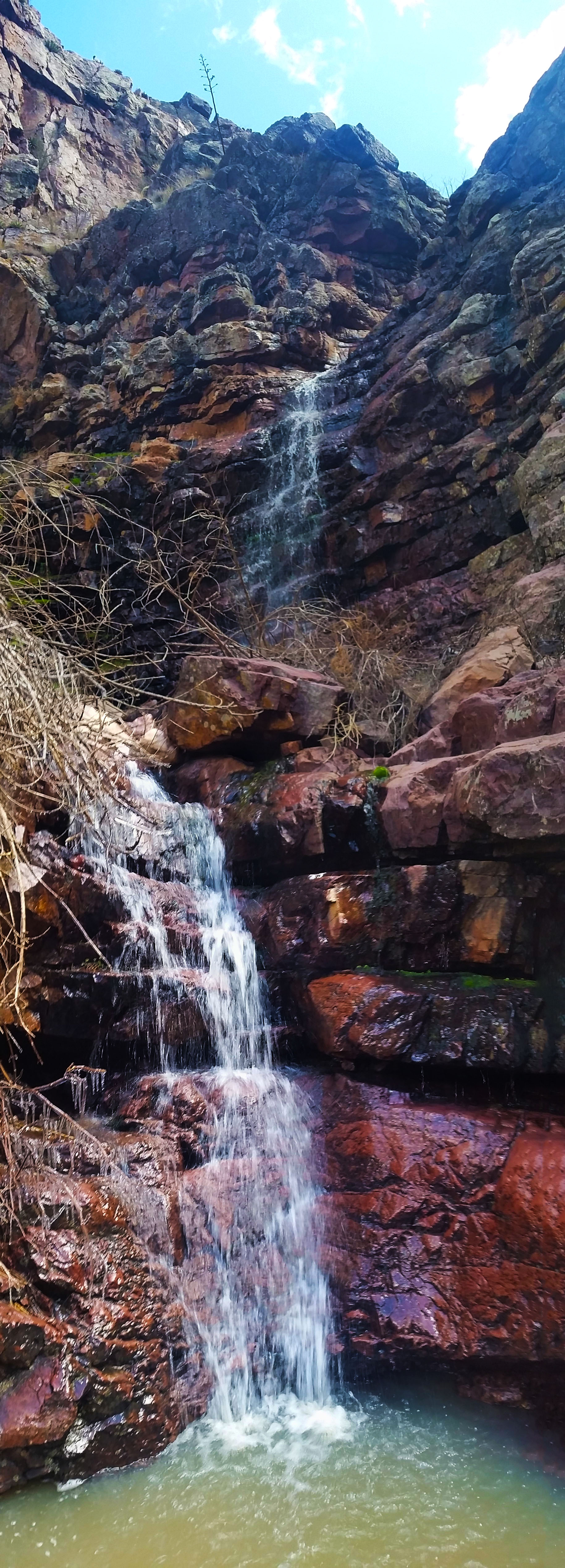
The bushwhack became thicker.  The trees and thorned bushes grasped at our clothes, attempting to hamper our progress and spirits, until we finally escaped onto a ledge overlooking a 120-foot cascading waterfall. What a view! On one hand I was blown away by the beauty of what I would have missed had I not descended this route with the crew, but on the other hand I couldn’t help but think “how the heck are we going to get down!?” After some quick searching we found a cairn stack (oh you awesome trusty cairn you!) and hopped over into the next canyon.  That gave way to a muddy trail, eventually throwing us into the creek itself and further down the canyon.

Untitled_Panorama1
looking up from the bottom of the cascading waterfall
It became a boulder hop from there; trying to stay out of the creek for fear of wet feet, while safely descending rock faces slick with moss and no grip. The canyon was beautiful! Bushwacky (is that a real word? oh who cares), but beautiful. Down and down we went until miraculously running into two more group members! Medal and Amy were heading up the canyon we were trying to fight our way out of. They had decided to camp for the night and ascend from the north instead of Y-Bar trail to the south.  After a quick greeting (and a warning of what was to come), we pushed onward.  More bushwhacking finally let us out to the Barnhardt trail where we all stopped for rest and a quick snack. Everyone was in good spirits, bantering back and forth about previous treks, current events, etc…the usual “trail talk”.
20160312_124216
Looking back up the canyon we descended

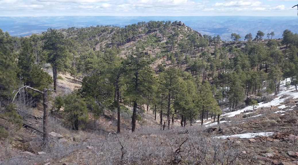
Feeling recharged, we were all back on our feet and ready to face the final 3 miles to the trailhead. The canyon wasn’t the only pleasant surprise on this trek, Barnhardt was a far more beautiful trail than I expected. Y-bar is a sun-drenched mountain skirt providing expansive views, but is mostly covered in shrub and manzanita (though the small patch of pines found ¾ of the way up is pretty cool). Barnhardt, on the other hand, is tucked away on the north side of the peak. Shaded from the sun and sipping on creeks and falls from winter snowmelt, the vegetation here was totally different. Lush and green, it was like a little desert oasis! Talk about a tale of two trails, night and day difference.

20160312_150735
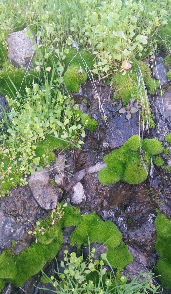
Some of that lush green goodness

The rest of the crew pushed ahead while I lingered behind snapping pictures and taking in the sights. After getting my fill, I picked up the pace to try and catch up.  At the Barnhardt falls, the trail descended rapidly with a few switchbacks before finally settling out, skirting the base of the mountain and back to the trailhead. What another awesome trek with good people!

20160312_113547
Hey look its Brain Mildener

P.S. Brain Mildener was there too =)

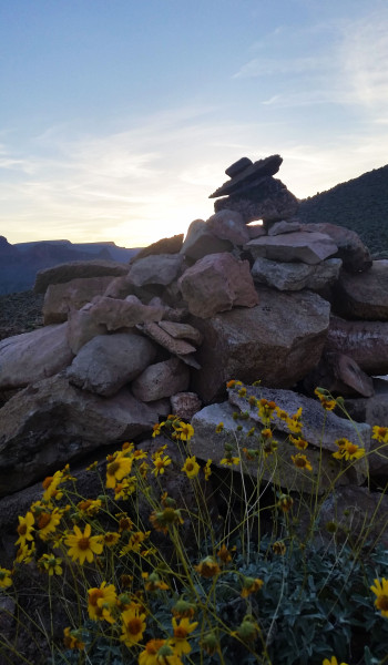
  • Desert Flowers on Y-Bar
Untitled_Panorama3
Another awesome waterfall coming down Barnhardt

HIKE INFO:

https://hikearizona.com/decoder.php?ZTN=202

HIKE STATS:

  • Weather: Hi 70s, Low 50s, Sunny
  • Water: 2.0 liters
  • Food: 1 Cliff Builders Bar, 1 Bag Trailmix with Macadamia nuts and pretzels, 1 Nature valley sweet and salty bar, mixed 1 bag of salt and vinegar chips, Pro Bar strawberry gummies
  • Time: 8 hours
  • Distance: 14.8 miles Round Trip
  • Accumulated Gain: 3,200 feet

GEAR:

  • Mule Camelback backpack (3 liter bladder)

CLOTHING:

  • Smart Wool 195 weight long sleeve shirt
  • Arc’teryx Hoody
  • Cotton Handkerchief
  • Underarmor shorts
  • Merrell Mid Moab Hiking Boots
  • Darn Tough Medium Wool Sox
Share

Weaver’s Needle Ascent – AZ (3.5.16)

Share

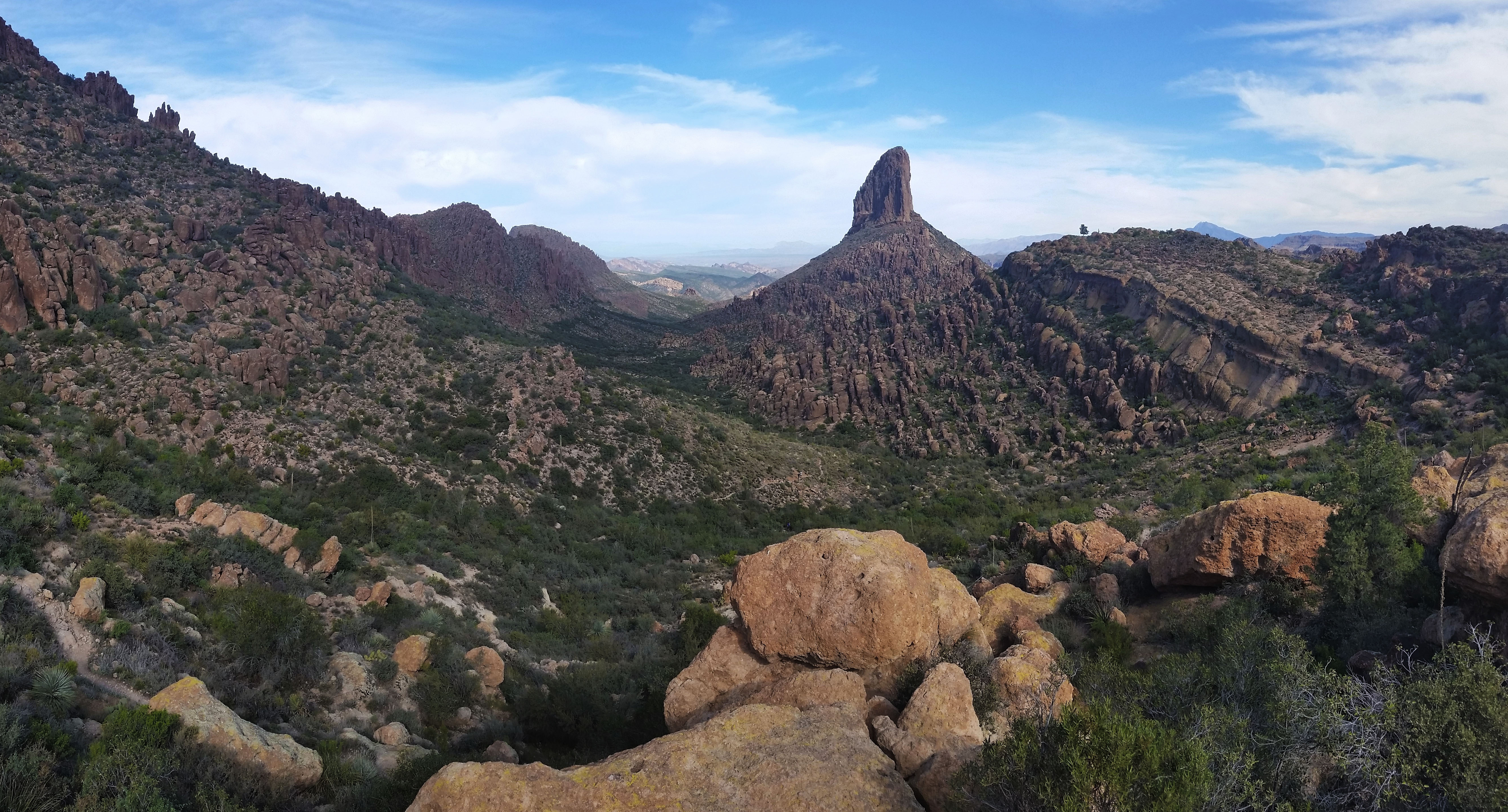
I have been hiking in the Superstition Mountains for the past few years and I knew Weaver’s Needle on sight. The formation was massive and jetted out of the earth like the final breath of a dying volcano. It was always on my list to reach the top (more of a bucket list due to the rock climbing gear required) and I never thought it would be more than a dream until I got a text from a buddy with an invite. I started rock climbing in a gym a few months back, and this bucket list item was about to become my first outdoor climbing experience!  Needless to say I was pretty ecstatic!

?
Peralta Trail-head, our adventure begins!

Kári, Inga, Craig and I met early in the morning, threw our gear into the back of Craig’s 4Runner, and headed for the Supes! We finally got to Peralta trailhead and started putting feet to trail around 8:30am. Little did we know, the day ahead of us was going to turn out to be a long one! I had Kári’s climbing rope draped over my shoulder as my day bag was already packed to the brim with food, water, and climbing gear. At the sight of the rope quite a number of people descending Peralta trail stopped and chatted; “looks like you guys are going to have some fun!”, “what are you going to repel?”. I was all grins but as Craig explained where we were headed I bit my tongue (didn’t want to jinx it). After short chats, we continued to sweat up the climb. The sun was already going to work on us as we approached Fremont Saddle.

Untitled_Panorama2
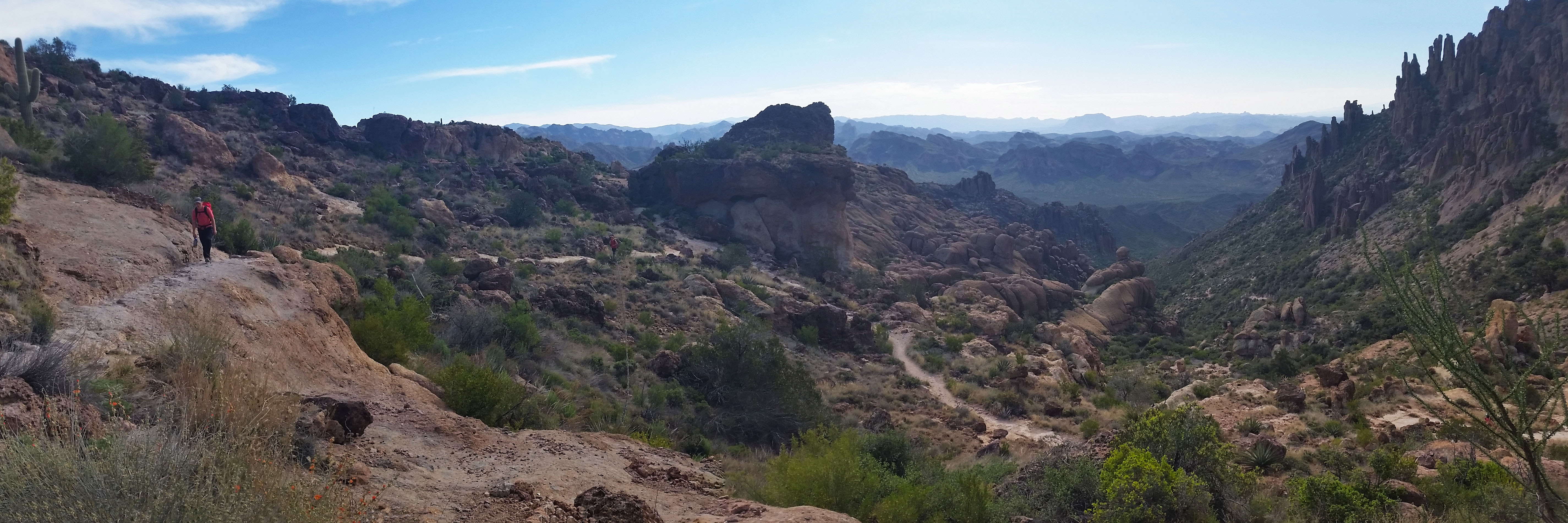
Looking south just before from Fremont Saddle, Kari ascends (click to enlarge)
Untitled_Panorama1
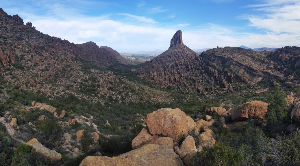
First sight of Weavers Needle from Fremont Saddle

Finally reaching the saddle and we laid eyes on our target: Weaver’s Needle! Every time I looked at it before it was a point of reference or landmark, this time it was a much more ominous beast as I started to wonder what the climb would be like, and how we were going to find our way up what seemed to be an impossible exposed climb. We bombed down Peralta on the north side from saddle headed for the west side of Weavers. As we approached it became more and more apparent we had a large amount of gain to take on just to approach the start of the technical climb.

10rgfw

We found our way to the climber’s cutoff approach rout and crossed the dry creek. After a little bit of bushwhacking I luckily stumbled onto the trail. “Trail”, I yelled to the crew who were in the bushes nearby. Soon we were all back together making the big push towards the base of a notch in the formation. As we hiked up the rock became a little less ominous. The steep, but clearly cairned trail walked right up to the start of the climb. Time for a nice break in the shade! We all plopped down, grabbing out our snacks and munching down.

20160305_111116
Beginning of the first pitch scramble just below our snack break area

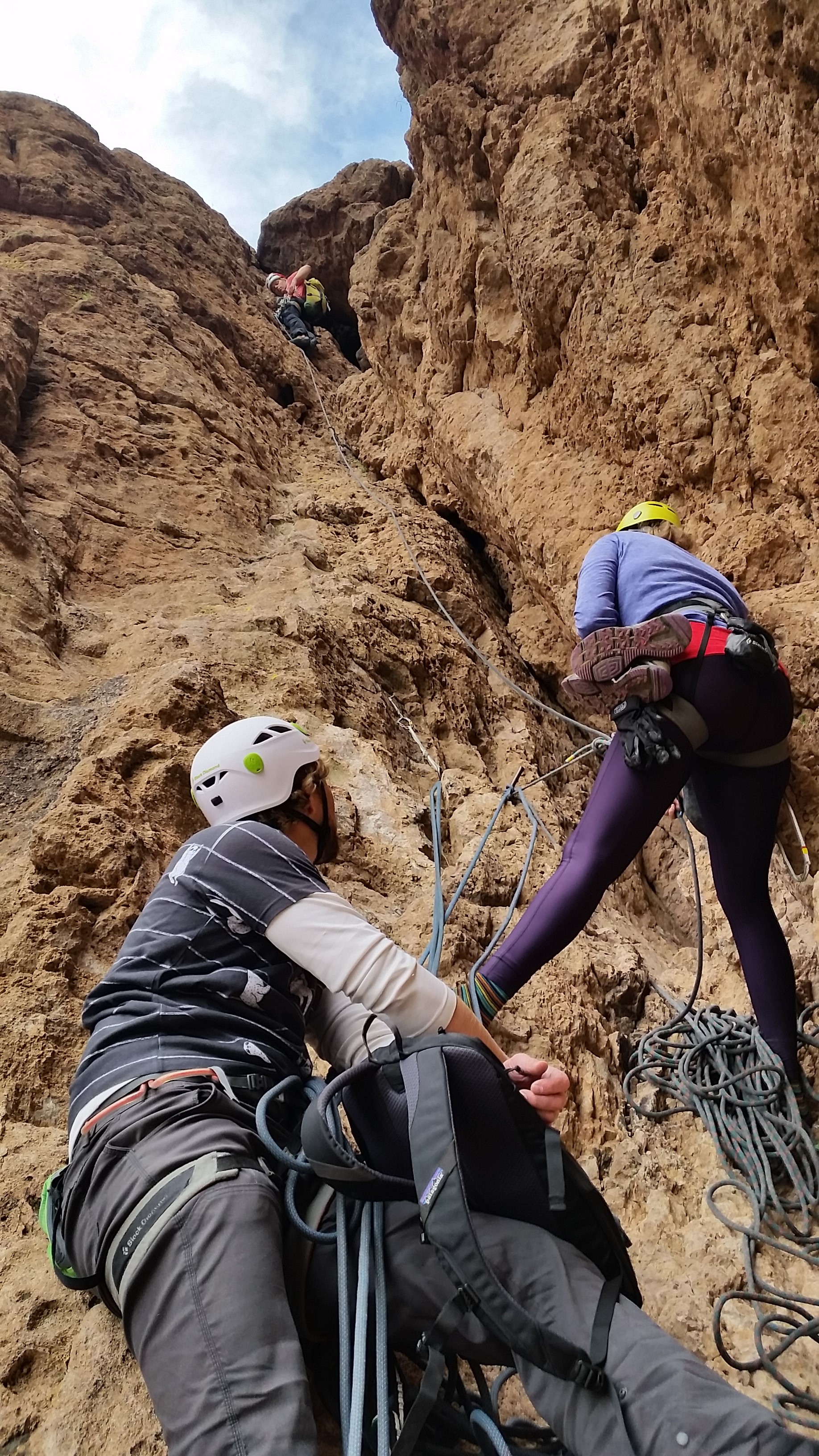
After the break we got our climbing gear out and began to scramble up the first pitch (lesson learned here, bring your hiking shoes with you when you climb, repelling in climbing shoes is no fun!). We scrambled up the first pitch to the next anchor, it was time to climb! Kári took lead; he has a ton of experience in traditional climbing and knows the technical correct way to do things as he was in Mountain Rescue for many years with Inga. Craig is a seasoned sport climber and walked me through the ins and out of belaying, removing gear, and the general etiquette for climbing.

20160305_125344
Second Pitch, Kari Leading, Inga belaying and Craig and myself eagerly waiting

I watched as Kári and soon Inga and Craig disappeared above the chalk-stone at the top of the climb. I was alone at the bottom of the shoot looking up at my first attempt at outdoor rock climbing. Admittedly a little intimidated I made my first few moves up the climb. My hands were sweaty and I plunged them into my chalk bag. After focusing solely on the holds and where I was going the nervousness went away. Before I knew it I made it to the first piece of trad gear and pulled it from the rock clipping it to the side of my harness. It was cool to see the strategic placement of the gear, but it was strange concept to think I was removing the gear knowing it could be the difference in life and death for anyone lead climbing. Being as I was the last one up and tied into top rope this wasn’t an issue.

20160305_125321
Looking back down the chute to the valley below

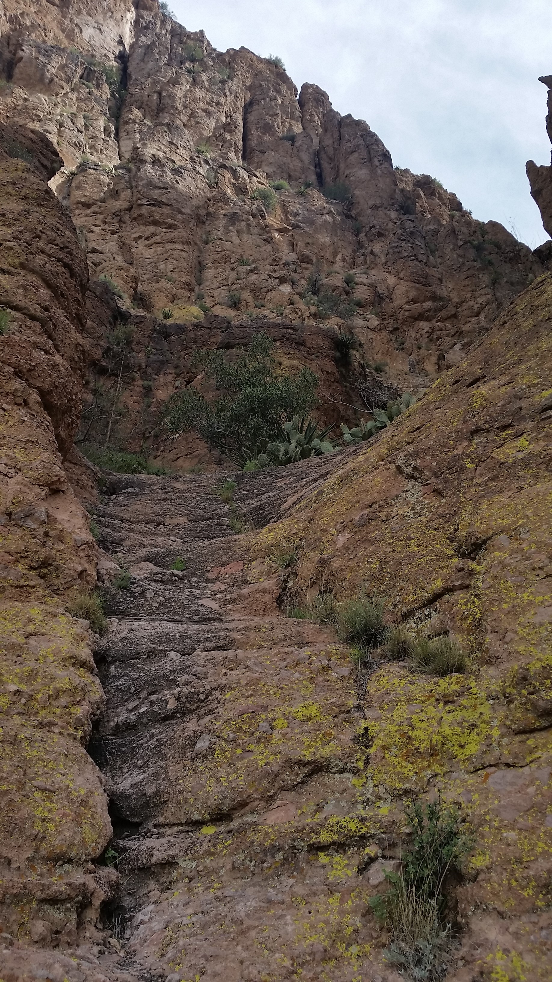
Some of the rock on the right felt as though with enough force it would pry from the wall, the left was solid. I climbed up, brushing small pebbles from the holds as I did. I went to put my right foot up on the next foothold, as I did I felt it. There was a rock in my climbing shoe, just under the ball of my foot. This was no bueno! Luckily I was close to a ledge and took a rest to pull my shoe off to empty it. As I did I looked down, yup it would most definitely suck not to be tied in! Some people can freeclimb this pitch, definitely not the case for me! I threw my shoe back on, stood up, found my feet, hands, and soon myself climbing over the chalk-stone! With the crux of the climb out of the way the whole crew scrambled their way to the summit for some incredible views!

Untitled_Panorama4
View from the top of the 3rd pitch looking south east, what a view!
Untitled_Panorama8
View form the peak!!! (click to enlarge)

We hung out for a half hour or so and soon realized we needed to get going in order to try and get to phoenix at a descent hour! We packed up our gear, and headed back down the climb. All four of us repelled all 4 pitches of the climb which took some time but was really fun (except for catching a few cacti in the leg). Repelling was a blast, especially down the length of the second pitch over the edge of the chalkstone to the bottom of the climb below. Soon when we had out hiking shoes back on and walked off the formation as the sun set. Once we were back on Peralta trail, we broke our headlamps out and trekked the 3.5 miles back to the car in the dark. It tuned into a 12 hour adventure, but I’d rather spend a day outside than any other way! What an awesome incredible unforgettable trek!

Untitled_Panorama10
Sunset over the valley below as we down climbed back to Peralta Trail, golden goodness!
  • Freemon Saddle Here we come!
  • Lets begin!

HIKE INFO:

http://hikearizona.com/decoder.php?ZTN=545

HIKE STATS:

  • Weather: Hi 70s, Low 60s, Sunny
  • Water: 2.5 liters
  • Food: 1 Nature valley sweet and salty bar, mixed 1 bag of chips (Salt and Vinegar), 1 Cliff Builders bar, apple, Power Protein Bar
  • Time: 12 hours
  • Distance: 8.1 miles Round Trip from trailhead
  • Accumulated Gain: 3,400 feet
  • Climbing Rating: 5.6
  • Number of Pitches: 4

GEAR:

  • Mule Camelback backpack (3 liter bladder)
  • Black Diamond Helmet
  • Petzl Corax Climbing Harness
  • Black Diamond screw carabiner
  • Phantom DMM screw carabiner
  • Webbing for personal anchor
  • Black Diamond ATC
  • Arc’teryx Chalk Bag
  • SPOT Tracker

CLOTHING:

  • Cotton T-Shirt (Nom Nom Nom Shirt)
  • Arc’teryx Hoody
  • Arm coolers
  • Cotton Handkerchief
  • Nike running shorts
  • Darn Tough Medium Wool Sox
  • Merrell Mid Moab Hiking Boots
  • 5.10 Rouge Climbing Shoes
Share

Salado Indian Ruin Hunt (3of3) Sierra Ancha – AZ (2.28.16)

Share
20150308_093518
Looking back down the canyon from the first waterfall

We save the best for last, don’t we? Our last day in the Sierra Ancha area I woke in my tent to the hue of the rising sun fighting back the darkness of night. It was time to get up, no alarm this time, just the peepers opened and the morning ritual began. With a chill and a hoody on I brewed coffee and threw the rest of the kindling and wood from the night before on the still warm buried coals of the fire. With a little coaxing, the fire lit again jumping onto the twigs and limbs heating us during breakfast. This morning Stevo, Annalise, and myself had our sights in Devils Chasm ruins. Soon after breakfast we snuffed the fire and threw our packs on heading up the canyon for our last trek of the weekend.
20150308_085541
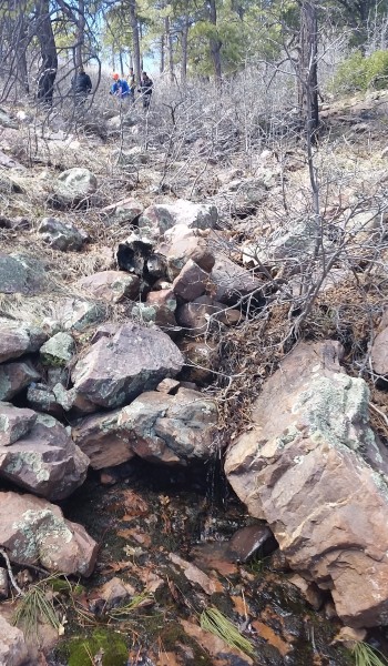
The lower section of the trail, nice and padded

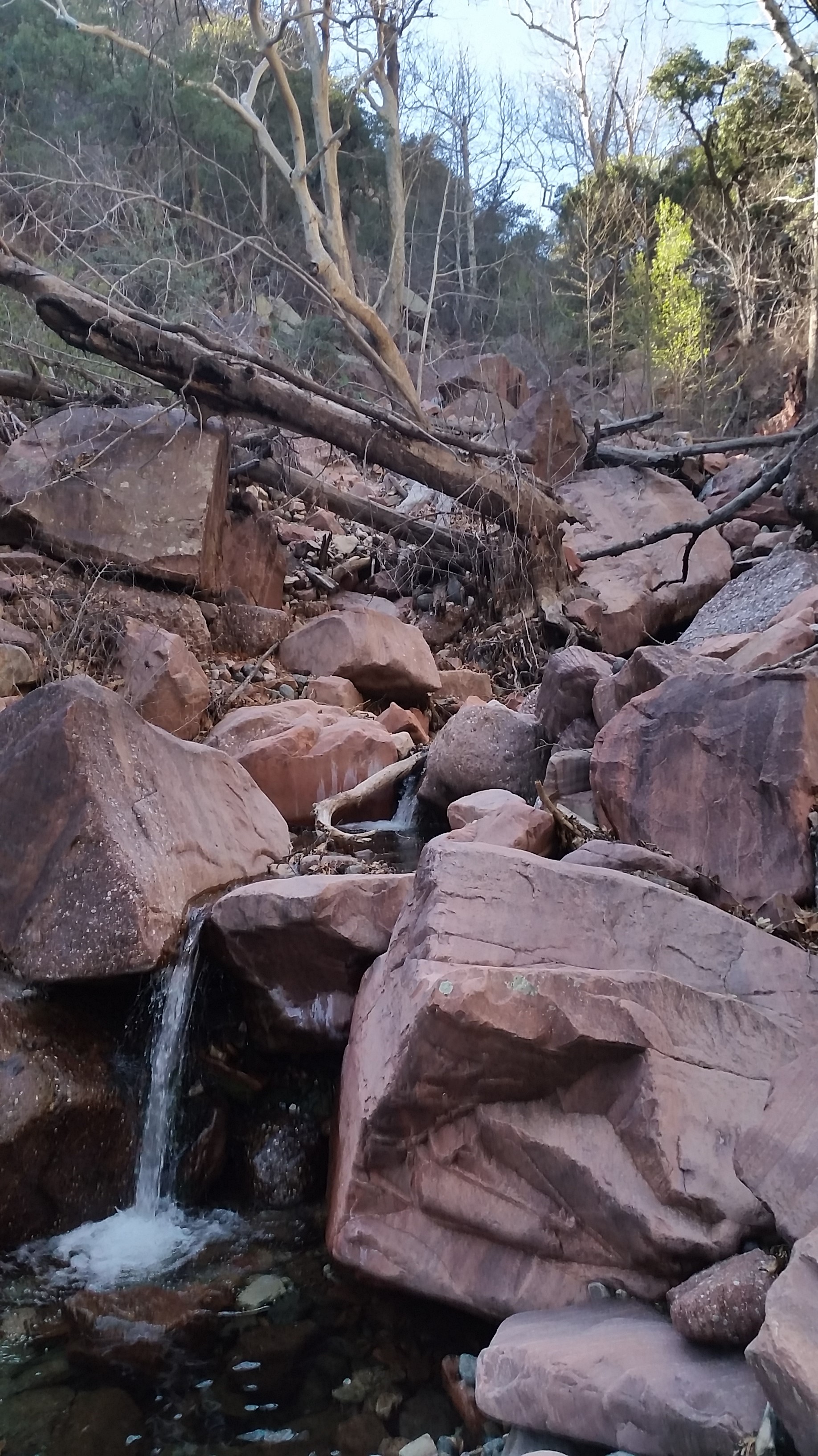
As always I was excited to get my feet on the trail. In the beginning the trail twisted back and forth on padded dirt paralleling the creek feeding the canyon. It has a pretty good climb to it and after a one good hardy pushes, we were all peeling off layers. The trail lush and green at the sides was totally different than the hikes the day before. Devils Chasm is a sheltered oasis in the high desert, lush green grass, thriving vegetation, and a cool running creek transports you miles away from any desert. We kept climbing until the trail dumped us down into the creek and the canyon walls began to close in. Let the boulder hopping begin!

20150308_092241
Lets start boulder hopping!

It wasn’t long before we came to the first of two climbs/scrambles. On the right side of the canyon a rope dangles below a chalkstone to the right of a small waterfall. The climb is easily accomplished with the aid of the rope (rope was newly replaced). Once atop the climb we turned the corner to a much larger waterfall/slick rock area. What a view! The golden sun bared down on the red rock face while the cool canyon stayed shaded and blue. The second waterfall is easily climbable to the left with aid of a rope (this rope was not as good as the first and honestly should be replaced).

20150308_093741
2nd waterfall
20150308_093957
Stevo and Annalise ascending the 2nd waterfall

After taking in the views and a few pictures we hiked on and up the canyon knowing there was a good push to get to the ruins. Boulder hopping and canyon skirting continued for a half mile or so before finally a padded steep dirt trail appeared to the right, it really took off! Talk about steep; once again we were grabbing at lodged rocks, strong branches, and roots to ascend the incredibly steep trail. We were careful to not kick dirt and rocks down on one another.

Untitled_Panorama24
Entrance from the canyon, first room

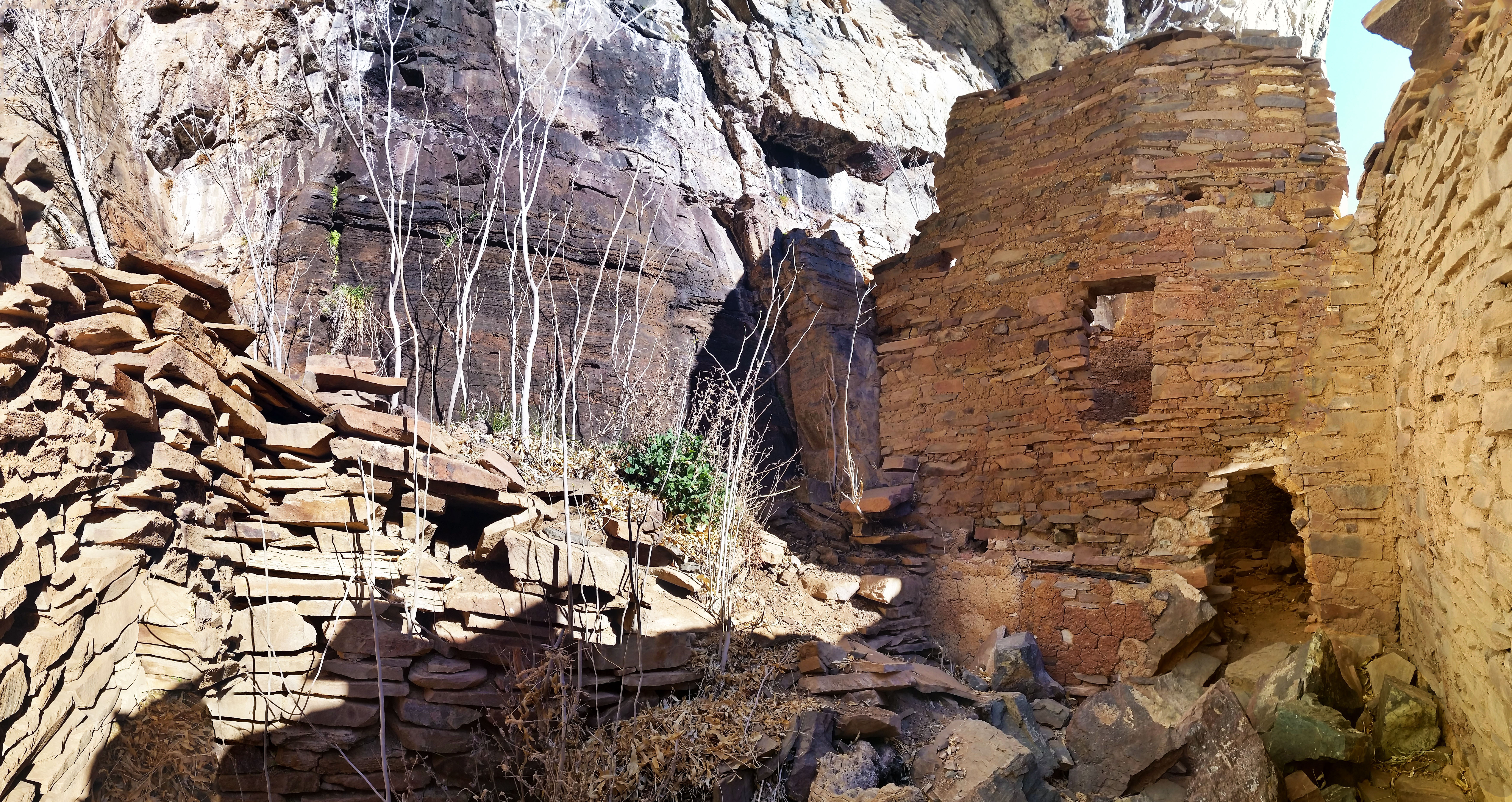
Finally we popped out from the brush letting way to high canyon walls and an enormous (and almost camouflaged) ruin on the rock face in front of us. From the face it looked as the highest wall was 30 feet tall and the entire building spanned 60 feet. Excited we pushed forward on the winding trail to the ruin. The climb is exhausting but the sight of the ruin made every step worth it! The ruin was five rooms wide, four of which still had fully standing walls, and one had a partially intact roof. The last room let out to a high exposed ledge like a side porch. Inside the rooms we found some small pottery shards and two grinding stones.

Untitled_Panorama4
Looking inside the 4rd room to the east, such a cool sight to see
20160308_093358
Looking back to the ruin from the exposed ledge

Like tourists we snapped pictures up, down, left, right, checking out every crevice of the ruin. How impressive that almost 650 years later this mud and rock structure still stood the test of time. The Salado Indians built a fortress standing against erosion, storms, and of course the most destructive force: the occasional visit from man. Places like this are to be respected and preserved, but that doesn’t mean you can’t visit them. Respect it, leave no trace, and it will be here down the road for others to enjoy too.

Untitled_Panorama123
Top view of all 5 rooms and the canyon
Untitled_Panorama11
Peering down into the 2nd room along the ledge behind the ruin

Having our fill from the journey and needing to head back to Phoenix, we turned back down the steep trail and made our way back. We didn’t see one other soul on the trail, what a nice way to spend a Sunday. On a great trail, in an incredible place, with good friends.

  • Looking back down the canyon (see Stevo?)
  • Looking down the hallway

HIKE INFO:

Sierra Anchas – Devils Chasm Ruins

HIKE STATS:

  • Weather: Hi 70s, Low 40s, Sunny
  • Water: 2.0 liters
  • Food: 1 Nature valley sweet and salty bar, mixed 1 bag of chips (Salt and Vinegar, corn chips, and pretzles), Cliff Builders bar, 1 trail-mix bag, Sun-dried Cranberries
  • Time: 3 hours
  • Distance: approx 4 miles Round Trip from camp
  • Accumulated Gain: 2,100 feet

GEAR:

  • Mule Camelback backpack (3 liter bladder)

CLOTHING:

  • Cotton T-Shirt
  • Arc’teryx Hoody
  • Arm coolers
  • Cotton Handkerchief
  • Nike running shorts
  • Merrell Mid Moab Hiking Boots
  • Darn Tough Medium Wool Sox
Share

Salado Indian Ruin Hunt (2of3) Sierra Ancha – AZ (2.27.16)

Share
20160227_141350
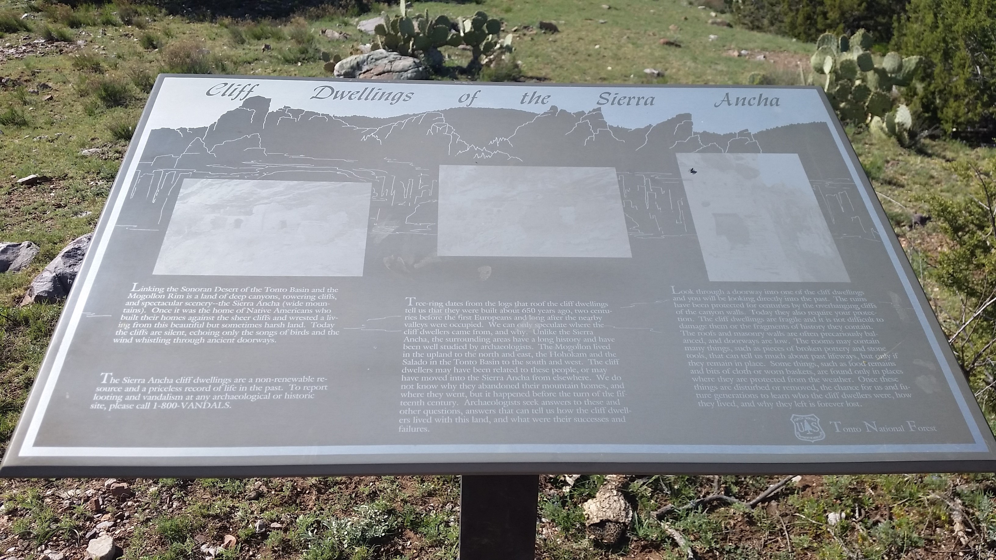
Tonto National Forest sign, faded form the sun

After doing some extra credit exploring up Cold Springs Canyon I returned to basecamp at the mouth of Devils Chasm. Admittedly I was ready for food and a sit down. I kicked my shoes off, grabbed some grub and cracked a brew for kicks. The campsite is shaded with these trees sipping on the canyons creek shading us from the sun. The temps were perfect and everyone was in good spirits! Annalise opted to stay at camp so Stevo and myself set our sights for the next ruin of the day: Cooper Forks Canyon Ruins. Not knowing it, Annalise did well in choosing just to hang out, because the next trek was nothing she signed up for!
20160227_142929
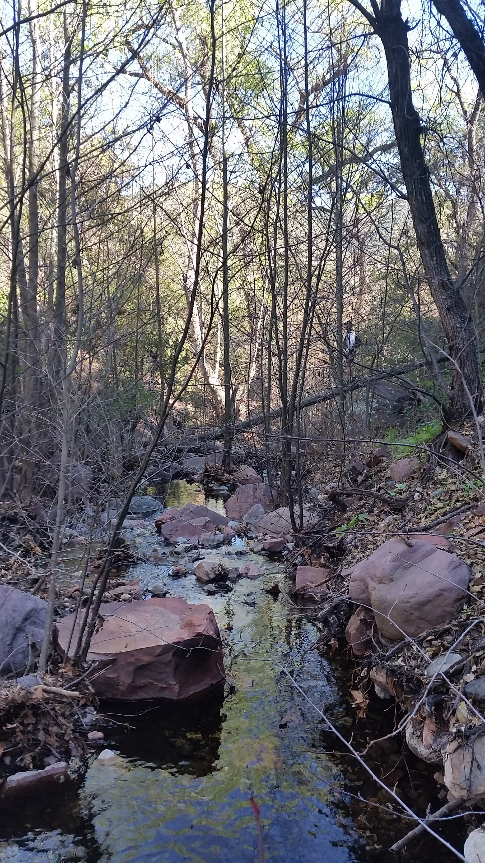
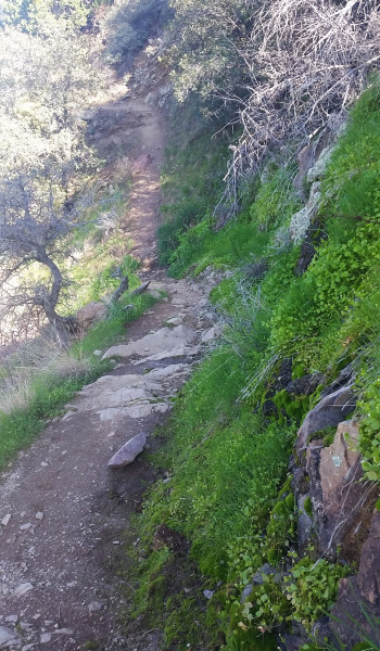
Its bushwacking time! Down the tributary canyon (can you see Stevo?)

We headed out from camp back up the road in the warmest part of the day. We skirted on in and out of the canyon until we finally came across an old sign from Tonto National Forest. It stated that there were Indian Cliff Dwellings nearby, lucky it didn’t give away their location! Be soon bumped off the ridge into a canyon housing a tributary creek to Cherry Creek. Let the bushwack begin! We headed doen the canon, boulder hopping, crossing logs, and avoiding getting wet in the creek. We hopped, jumped, and down climbed until finally we hit Cherry Creek. We soon found a way to cross the creek and headed upstream boulder hopping once again following a few sparce cairns. Before we know it we found a rockface jetting into the water imeding our further progression. We decided to take it up and over, the climb was on!

20160227_143729
What an awesome place!

Once we topped out the rock we weaved in and out bushes and trees, in and out finding no real trail, only sparse areas of low vegetation. We continued pushing forward and were faced with a dropoff into another tributary canyon to Cherry Creek. This bushwack was tuning out to be a little less straightforward than we planned. We bombed down steeply into the canyon and up the other side knowing this was the only way to begin the climb to the ruins.

20160227_145403
Ridge to the ruins

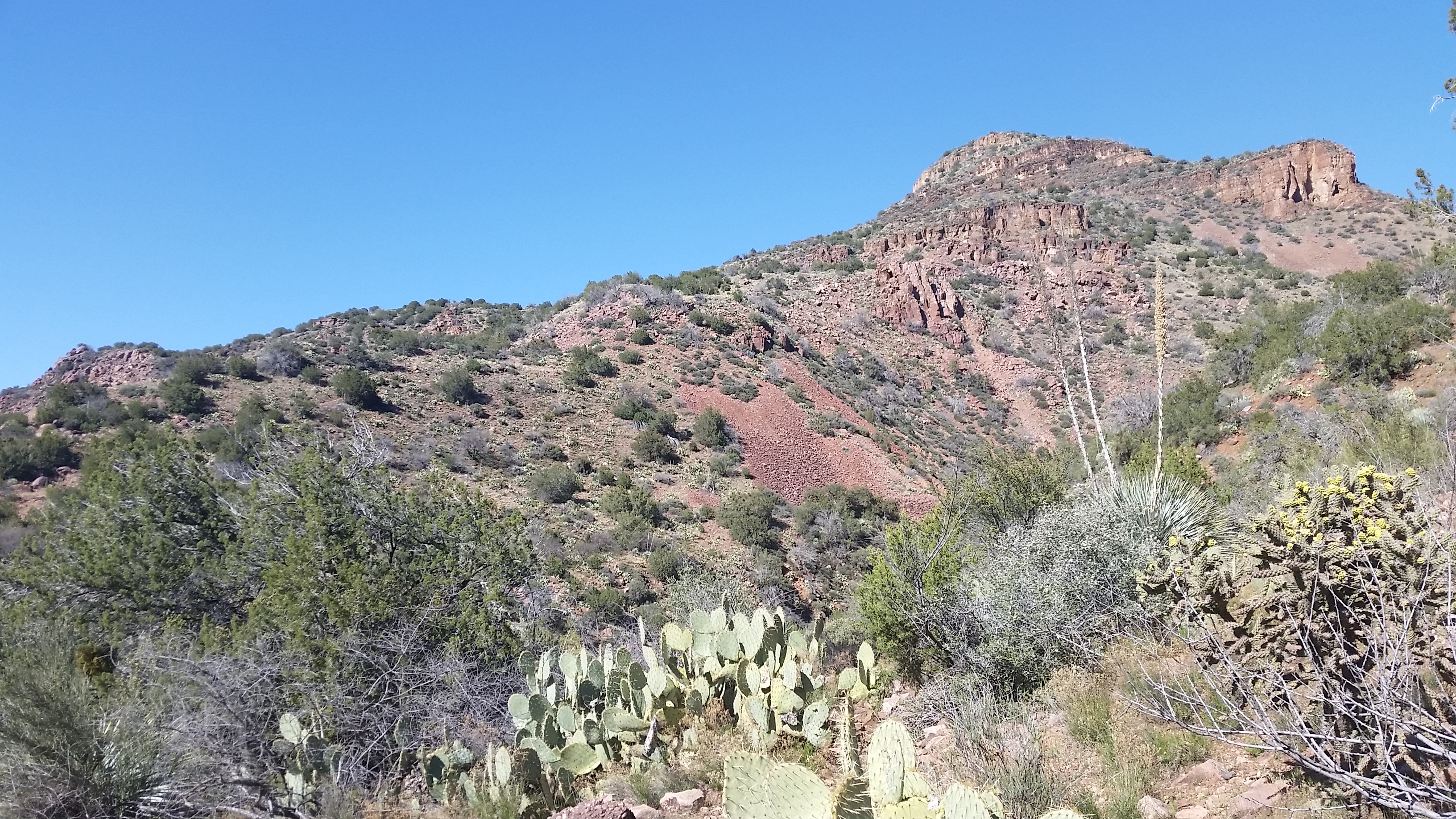
Once we reached the top of the base of the ridge that would lead us to the ruin, we stopped under a shaded tree and decided to grub. Stevo was starving and it was time to feast! We garbled down snacks and sandwiches, undoubtedly looking like two cavemen in the woods. Soon replenished for the hike ahead we set our sights forward up the right. Soon we found a well cairned trail that wasted no time climbing up and onward! We pushed up and on for a good ways. Just as the clear trail appeared before us, it vanished. I pulled out my GPS and found the right direction and kept pushing on. Soon the trail turned from boulder hopping to straight shale. It reminded me of being in the Sierras above treeline, only the rock here was red. Maybe that’s why they called it the Sierra Ancha (its actually Spanish meaning ‘broad range’, but what the heck I can dream).

20160227_153952
Shale city!

We pushed on and up in the beating sun, before finally skirting a large rockface to find the ruins, tucked away. This set was pretty big, I counted 3 main strictures, and 8 rooms, 4 of which were left intact. The rooms furthest west were almost completely lost with only fragments of the walls that stood. The middle set had another caved in area where the second floor finally fell against the test of time. The connecting room was fully intact and even had a grinding stone in the floor.

Untitled_Panorama2
Finally made it! Initial view of the ruins from the trail (middle right, lower left)
Untitled_Panorama4
Pano if the furthest west rooms or whats left of the rather

The last room furthest east was the most impressive of this ruin. The approach to the room had a nice exposed 10-15 foot climb with some pretty serious penalty for failure as the drop kept going eventually dropping into the canyon below. We both successfully made the careful climb and were soon in the main room taking in the incredibly impressive architecture of the Salado. It seemed as though there were main rooms for sleeping and a smaller build room towards the back where fires were burned, for food and heat we speculated.

Untitled_Panorama5
Middle ruins, still intact!
Untitled_Panorama6
View from inside, see the grinding stone?

The Indians were truly gifted, not only in their climbing skills but their resourcefulness to gather and survive such a hostile area. These special places should be shared, but above all respected. Soon after taking in the views and a few pictures we headed back for camp. What another well spent day outdoors!

Untitled_Panorama14
Nice sketchball climb to the last furthest room
Untitled_Panorama1
From the inside of the furthest east room, awesome views!
  • Looking back to the est side of Cherry Creek
  • Look a Stevo!

HIKE INFO:

Sierra Anchas – Cooper Forks Canyon Ruins

HIKE STATS:

  • Weather: Hi 70s, Low 40s, Sunny
  • Water: 2.0 liters
  • Food: 1 Nature valley sweet and salty bar, 1 bag of Salt and Vinegar chips, 1 orange, Clif Builders bar, 1 trailmix bag
  • Time: 3 hours
  • Distance: approx 5 miles Round Trip from camp
  • Accumulated Gain: 1,800 feet

GEAR:

  • Mule Camelback backpack (3 liter bladder)

CLOTHING:

  • Cotton T-Shirt
  • Arm coolers
  • Cotton Handkerchief
  • Nike running shorts
  • Merrell Mid Moab Hiking Boots
  • Darn Tough Medium Wool Sox
Share

Salado Indian Ruin Hunt (1of3) Sierra Ancha – AZ (2.27.16)

Share
?
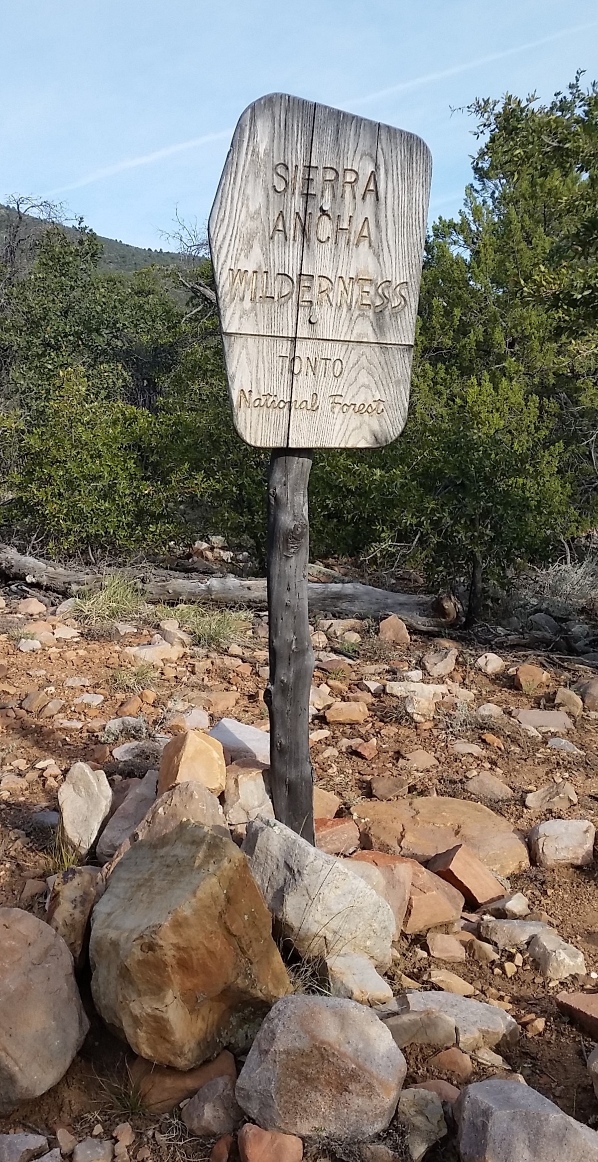
Sierra Ancha Wilderness boundary

Cold Springs Canyon Ruins (1of3). I woke before the sun came up. The usual scenario, alarm blasting at the walls of my tent letting me know it’s time to go to work! Stevo, Annalise, and myself drove up the long road to the Sierra Anchas the night before finally arriving to surprisingly an empty campground. The camping here can be pretty sparce as there are not many flat spots just below Devils Chasm. Luckily we grabbed the primo one at the top, set up camp, ramped up a fire and crashed. Not another soul out there!

20160227_074149
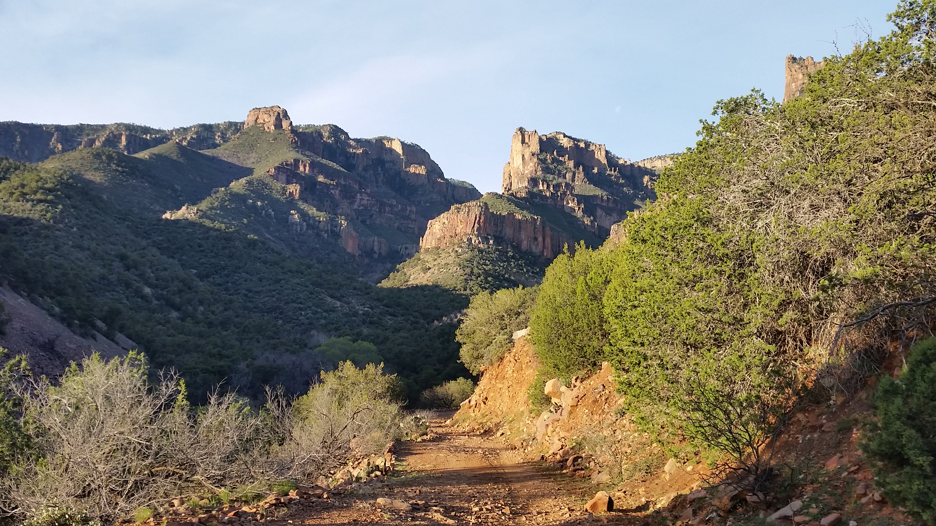
Looking back from the road up Devils Chasm Canyon

Back to getting moving; I stretched my legs like a lazy cat, threw on my hiking clothes, and got breakfast brewing. Stevo and Annelise soon appeared from his trucktop tent and we got the morning underway. Once breakfast was through it was time to put feet to trail and walk the road north to the trailhead. The morning light was awesome, peering through the leaves kissing the rocks around us. Just before hitting the first turn in the road we turned and peered up Devils Chasm, what an incredible sight. It would have to wait until tomorrow, as our sights for the day were set on Cold Springs Canyon Indian Ruins.

20160227_115027
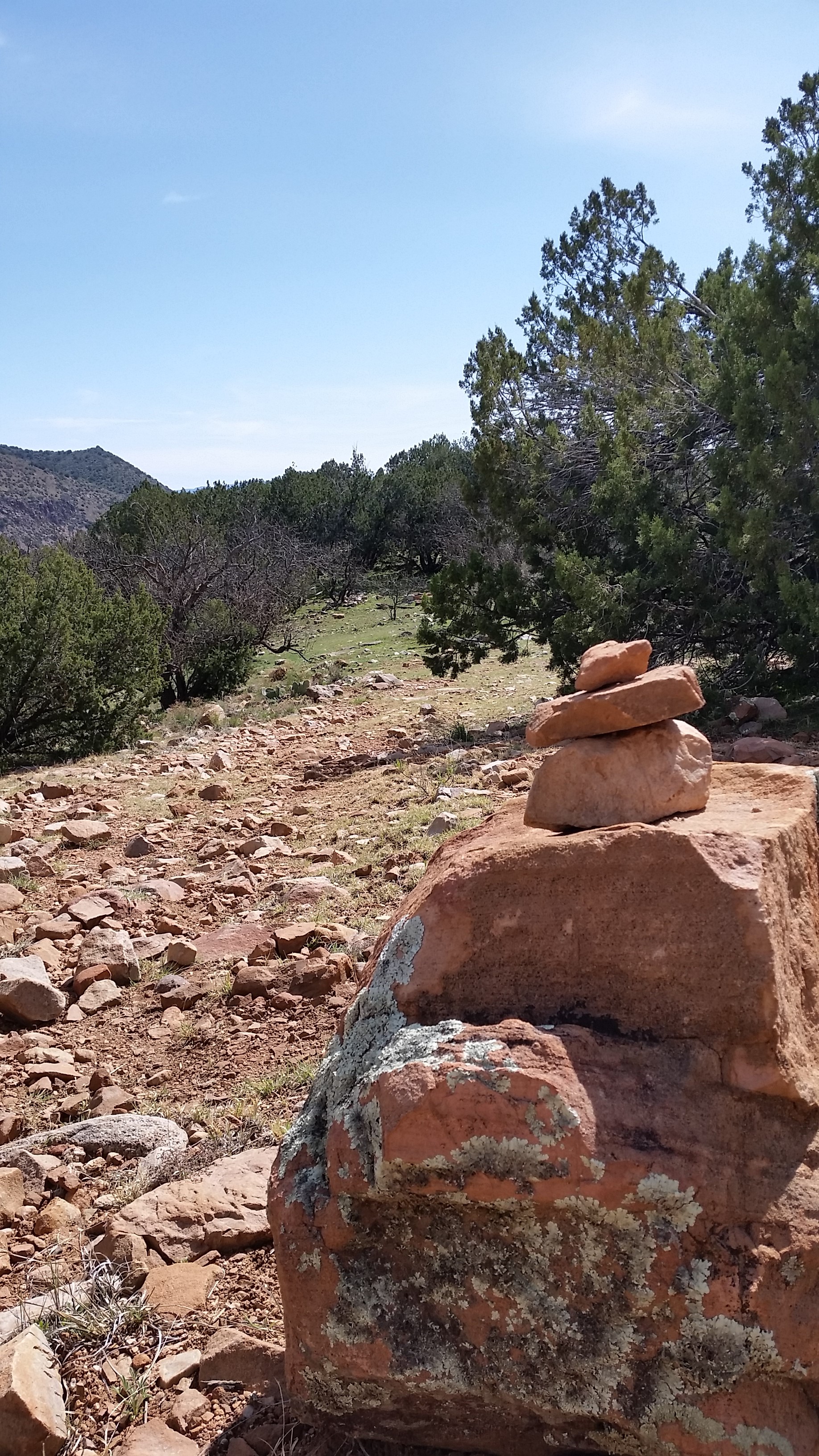
Cairn at the top of the 4 wheeler road before the wilderness boundary

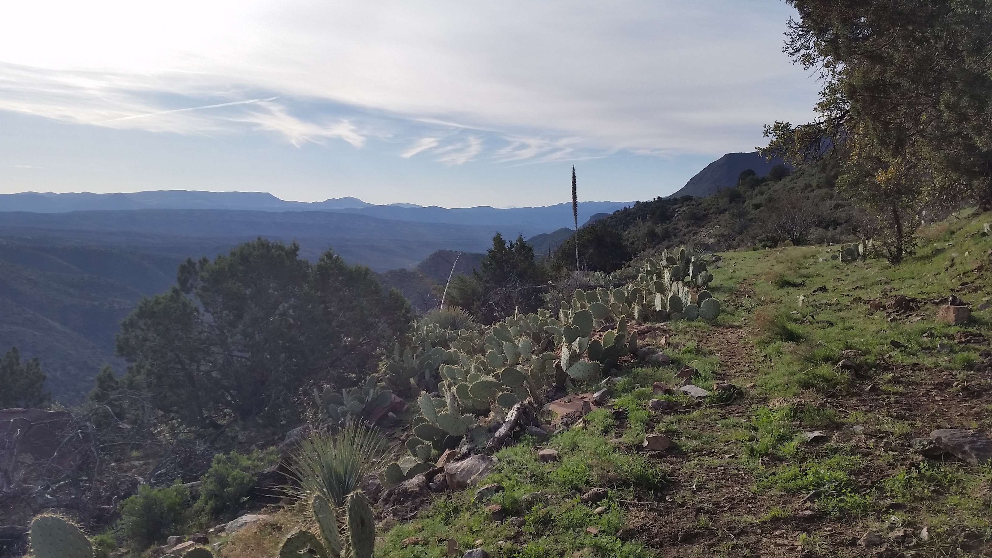
We climbed on, trekking up the road until the small 4wheeler road jetted off west, turning up we trekked up the good grade to nice hidden luscious green paradise atop a saddle. If we couldn’t find the spot we did, we would most certainly camp here. Views from this saddle were incredible, looking out over the Anchas just made me think about how people could survive here hundreds of years ago. The Salado Indians got it right, what a beautiful place!

20160227_083756
Looking across the Sierra Anchas from the trail to Cold Springs Canyon

We trekked on, pausing at the Sierra Ancha Wilderness sign for a quick picture. The open pastures soon turned into a twisting and winding trail through manzanita. Signs of the cattle ranched in the area were all across the trail; footprints, cow patties, broken branches, but luckily no cattle. We trekked up and on until we got to the plitoff for cold canyon. We pushed around the ridge into the next canyon, looking up into the rocks its wasn’t clear where the ruins were at first. As we got closer we could see a crack in the rocks to the west on the north side of the canyon that could hold something promising. Hoping around manzanita, century plants, and agave that riddles the trail. Finally we were close enough to see a doorway, almost perfectly square. I pointed it out with a giddy smile. This is where the trail really started to get fun!
Untitled_Panorama3
First good view of the entrance of the Ruins from the trail

The trail jetted up right, up the side of the canyon gaining a quick 400 feet in less than 0.2 miles. I grabbed at branches, roots, wedged in trailside rocks, anything that was stable enough to hold my weight to pull up on. The trail was a slippery mess, loose rock, dirt was the bed for the ascent. Soon after some good sweat and grunting, we all topped out at the base of the ruins where we could clearly see the entrance. Approaching the ruins requires some climbing skills, but what waiting inside was truly incredible.

Untitled_Panorama4
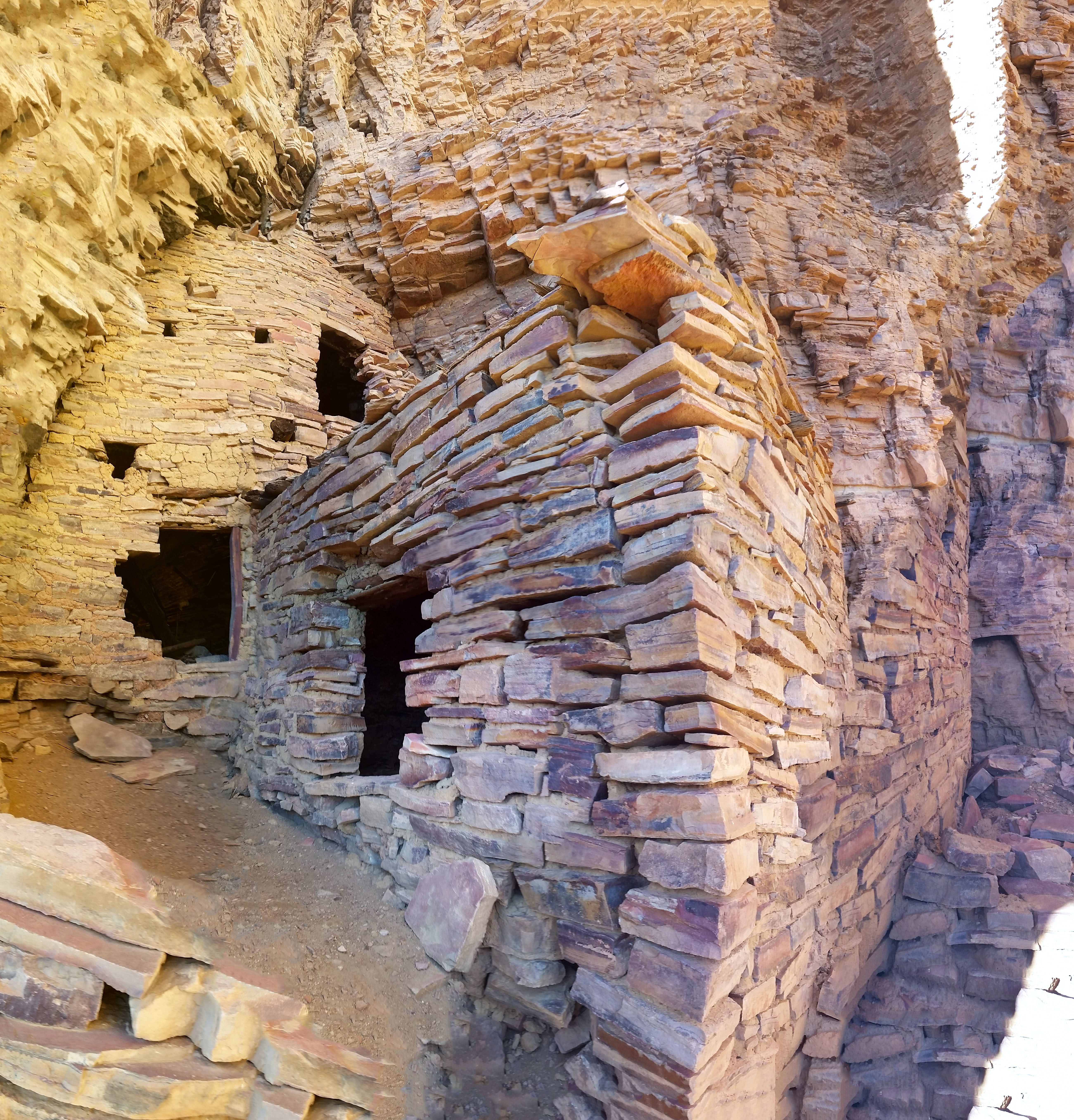
Entrance, some light climbing required

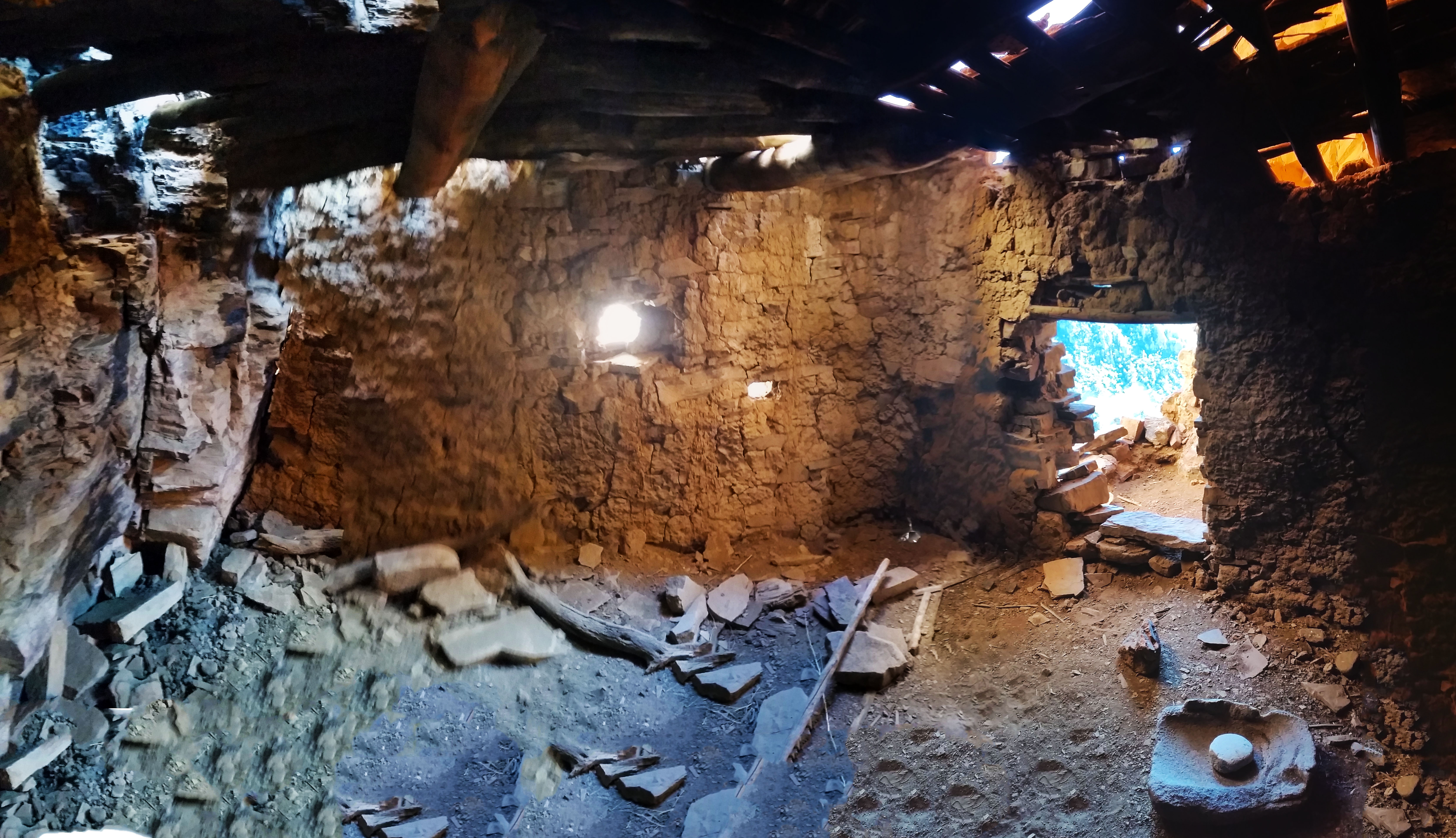
The ruin was a triple decker. The lowest level could have been storage while the mid level and upper levels were most likely sleeping quarters. Traversing the upper level held a secret back room the a balcony facing Cold Springs Canyon, it was a special find and sights from the balcony were gorgeous. The entire ruin was built on the mouth of a large cave. The second level went back and opened up into a smaller cave like room. Fallen rocks and stalactites were on the floor, I peered my head into the thin cracks that had any chance of leading anywhere. Both of them went about 15 feet, then knife edged into a dead end.  Satisfied we had exhausted exploring the extents of the ruin we headed back for the downclimb out of the exit.

Untitled_Panorama1
Once inside, looking out from the mid level, incredible views!

What an awesome day! Stevo and Annalise headed back to camp as I did a little more exploration up Cold Springs Canyon. The walk back was nice, temps were perfect, sky was clear and blue. I couldn’t ask for a better way to spend a Saturday! Soon after my solo exploration journey a few miles up the canyon I found my way back to camp for lunch and a quick rest before the next trek out into the Sierra Anchas in search for more Salado Indian Ruins!

20160227_092311
Secret balcony at the back of the upper level
  • Road walk from camp

HIKE INFO:

Sierra Anchas – Cold Springs Canyon Ruins

HIKE STATS:

  • Weather: Hi 70s, Low 40s, Sunny
  • Water: 1.0 liters
  • Food: 1 bag of Salt and Venigar chips, 1 apple, Clif Builders bar, 1 trailmix bar
  • Time: 3 hours
  • Distance: approx 6 miles Round Trip from camp
  • Accumulated Gain: 1,500 feet

GEAR:

  • Mule Camelback backpack (3 liter bladder)

CLOTHING:

  • Cotton T-Shirt
  • Cotton Handkerchief
  • Nike running shorts
  • Merrell Mid Moab Hiking Boots
  • Darn Tough Medium Wool Sox
Share