

After doing some extra credit exploring up Cold Springs Canyon I returned to basecamp at the mouth of Devils Chasm. Admittedly I was ready for food and a sit down. I kicked my shoes off, grabbed some grub and cracked a brew for kicks. The campsite is shaded with these trees sipping on the canyons creek shading us from the sun. The temps were perfect and everyone was in good spirits! Annalise opted to stay at camp so Stevo and myself set our sights for the next ruin of the day: Cooper Forks Canyon Ruins. Not knowing it, Annalise did well in choosing just to hang out, because the next trek was nothing she signed up for!
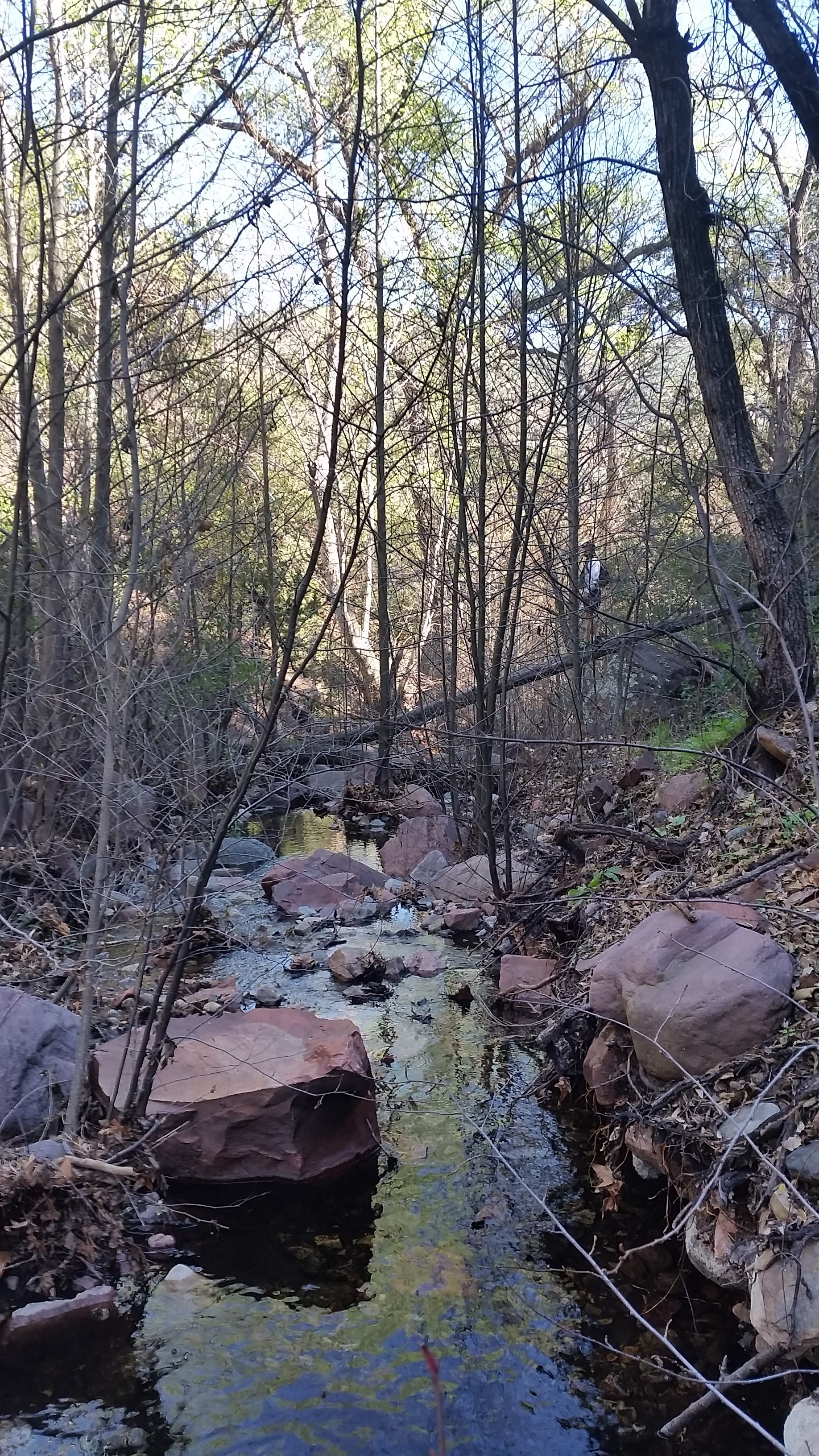
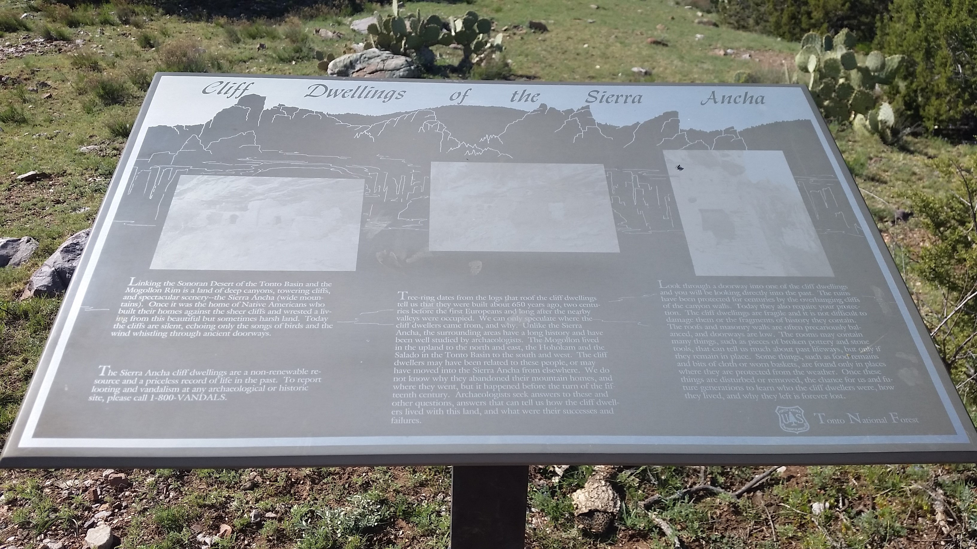
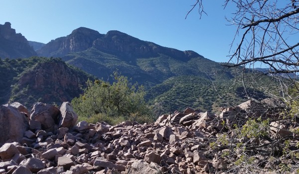
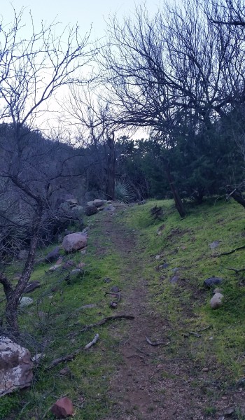
We headed out from camp back up the road in the warmest part of the day. We skirted on in and out of the canyon until we finally came across an old sign from Tonto National Forest. It stated that there were Indian Cliff Dwellings nearby, lucky it didn’t give away their location! Be soon bumped off the ridge into a canyon housing a tributary creek to Cherry Creek. Let the bushwack begin! We headed doen the canon, boulder hopping, crossing logs, and avoiding getting wet in the creek. We hopped, jumped, and down climbed until finally we hit Cherry Creek. We soon found a way to cross the creek and headed upstream boulder hopping once again following a few sparce cairns. Before we know it we found a rockface jetting into the water imeding our further progression. We decided to take it up and over, the climb was on!
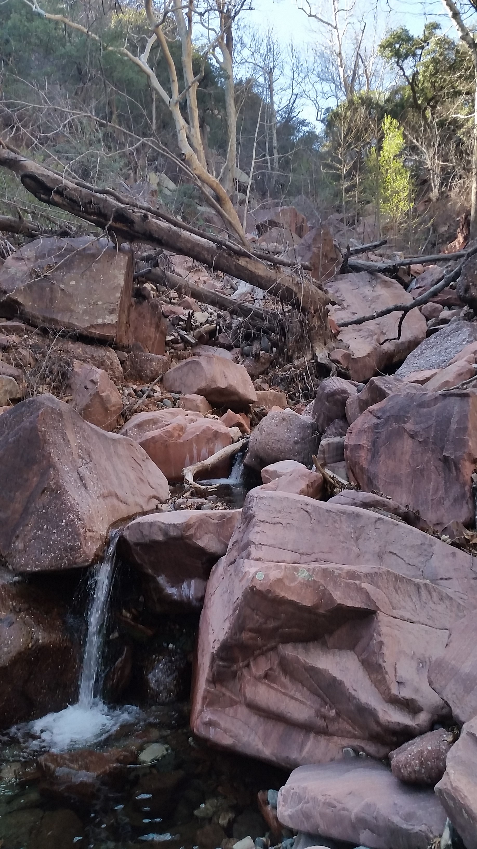
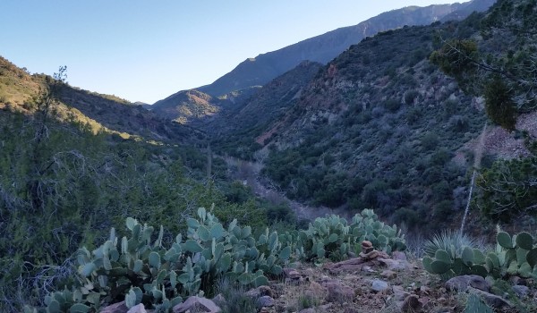
Once we topped out the rock we weaved in and out bushes and trees, in and out finding no real trail, only sparse areas of low vegetation. We continued pushing forward and were faced with a dropoff into another tributary canyon to Cherry Creek. This bushwack was tuning out to be a little less straightforward than we planned. We bombed down steeply into the canyon and up the other side knowing this was the only way to begin the climb to the ruins.
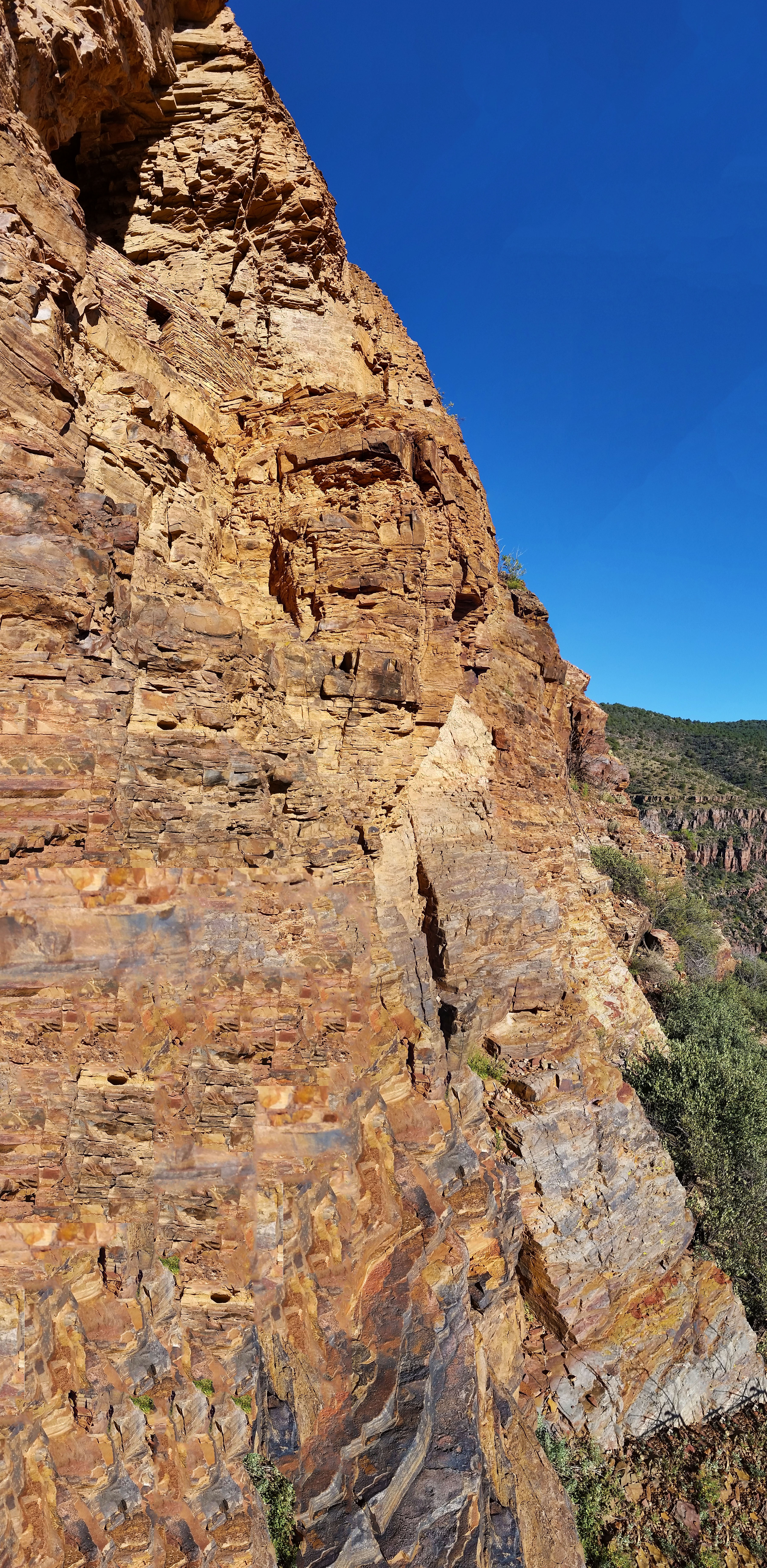
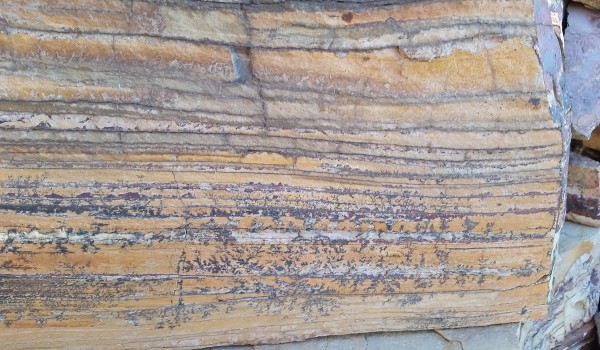
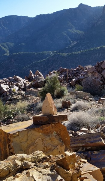
Once we reached the top of the base of the ridge that would lead us to the ruin, we stopped under a shaded tree and decided to grub. Stevo was starving and it was time to feast! We garbled down snacks and sandwiches, undoubtedly looking like two cavemen in the woods. Soon replenished for the hike ahead we set our sights forward up the right. Soon we found a well cairned trail that wasted no time climbing up and onward! We pushed up and on for a good ways. Just as the clear trail appeared before us, it vanished. I pulled out my GPS and found the right direction and kept pushing on. Soon the trail turned from boulder hopping to straight shale. It reminded me of being in the Sierras above treeline, only the rock here was red. Maybe that’s why they called it the Sierra Ancha (its actually Spanish meaning ‘broad range’, but what the heck I can dream).
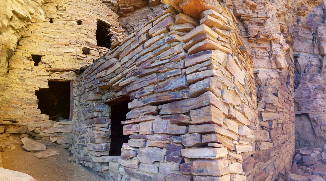
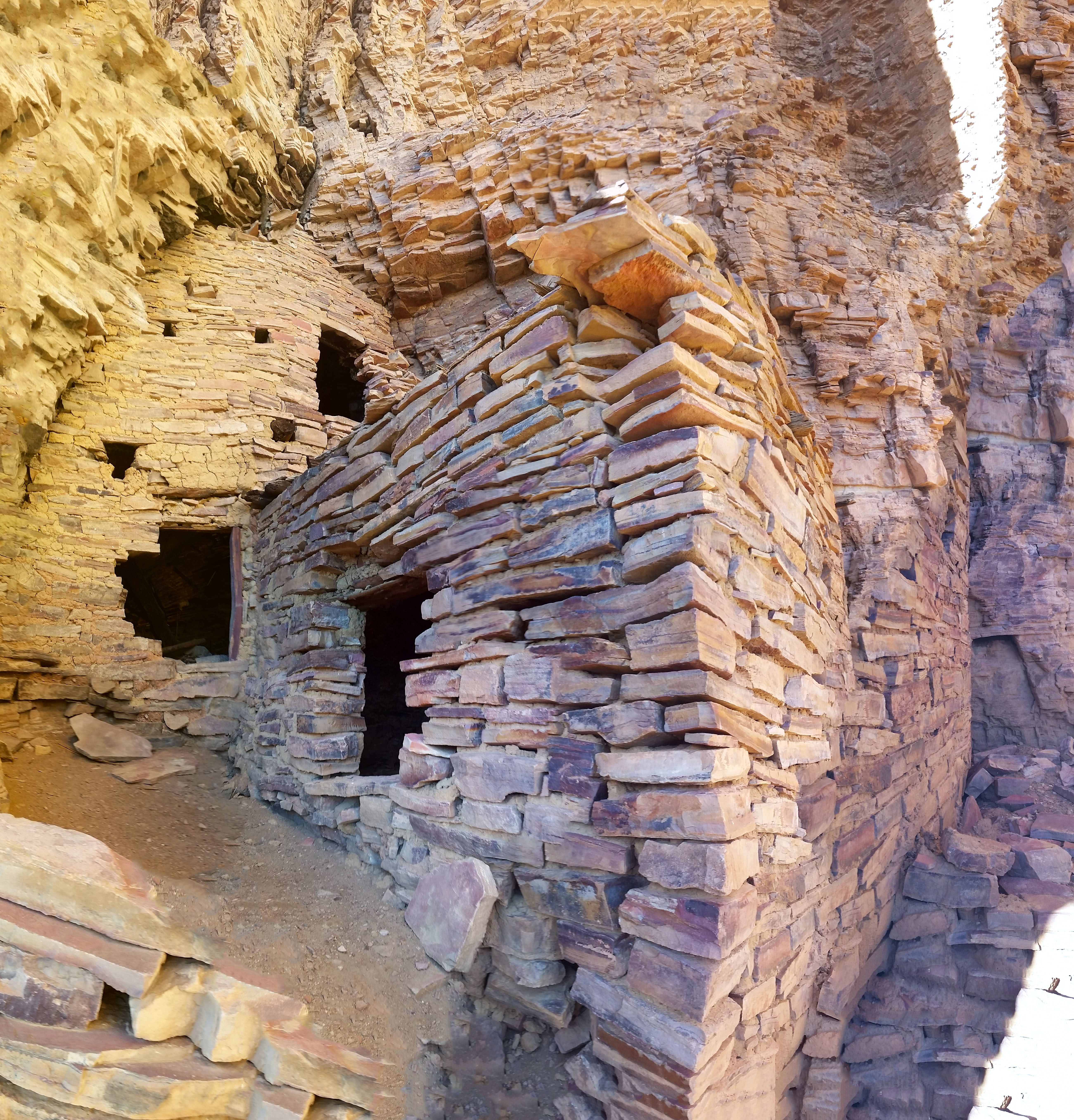
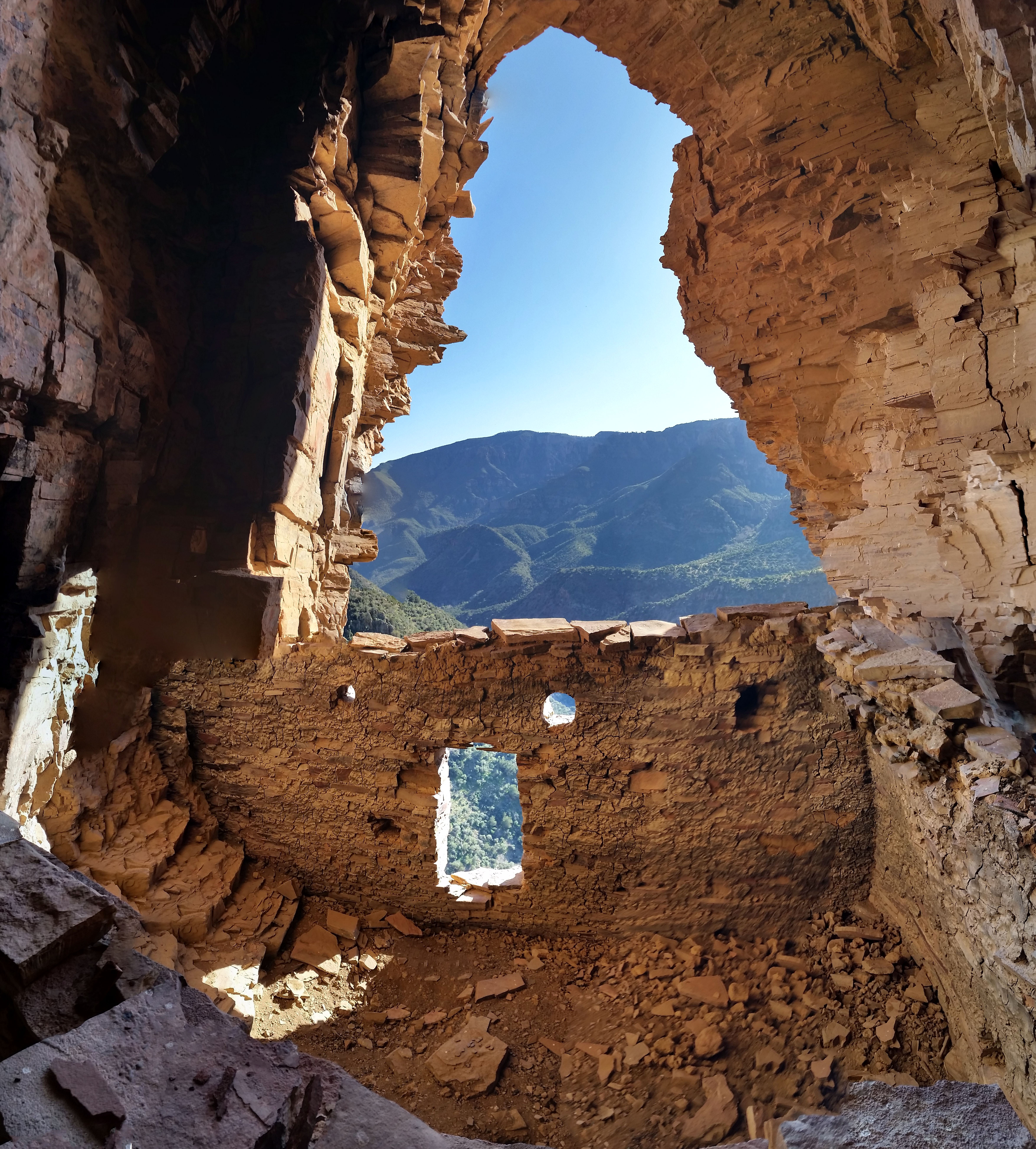
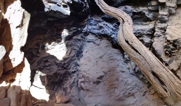
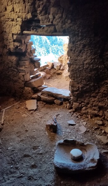
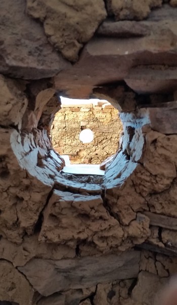
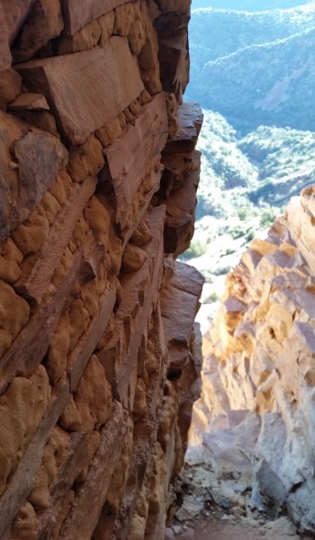
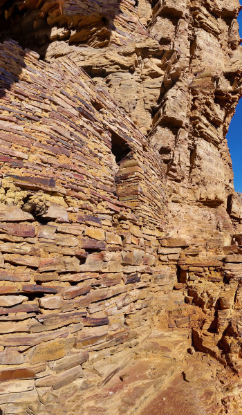
We pushed on and up in the beating sun, before finally skirting a large rockface to find the ruins, tucked away. This set was pretty big, I counted 3 main strictures, and 8 rooms, 4 of which were left intact. The rooms furthest west were almost completely lost with only fragments of the walls that stood. The middle set had another caved in area where the second floor finally fell against the test of time. The connecting room was fully intact and even had a grinding stone in the floor.
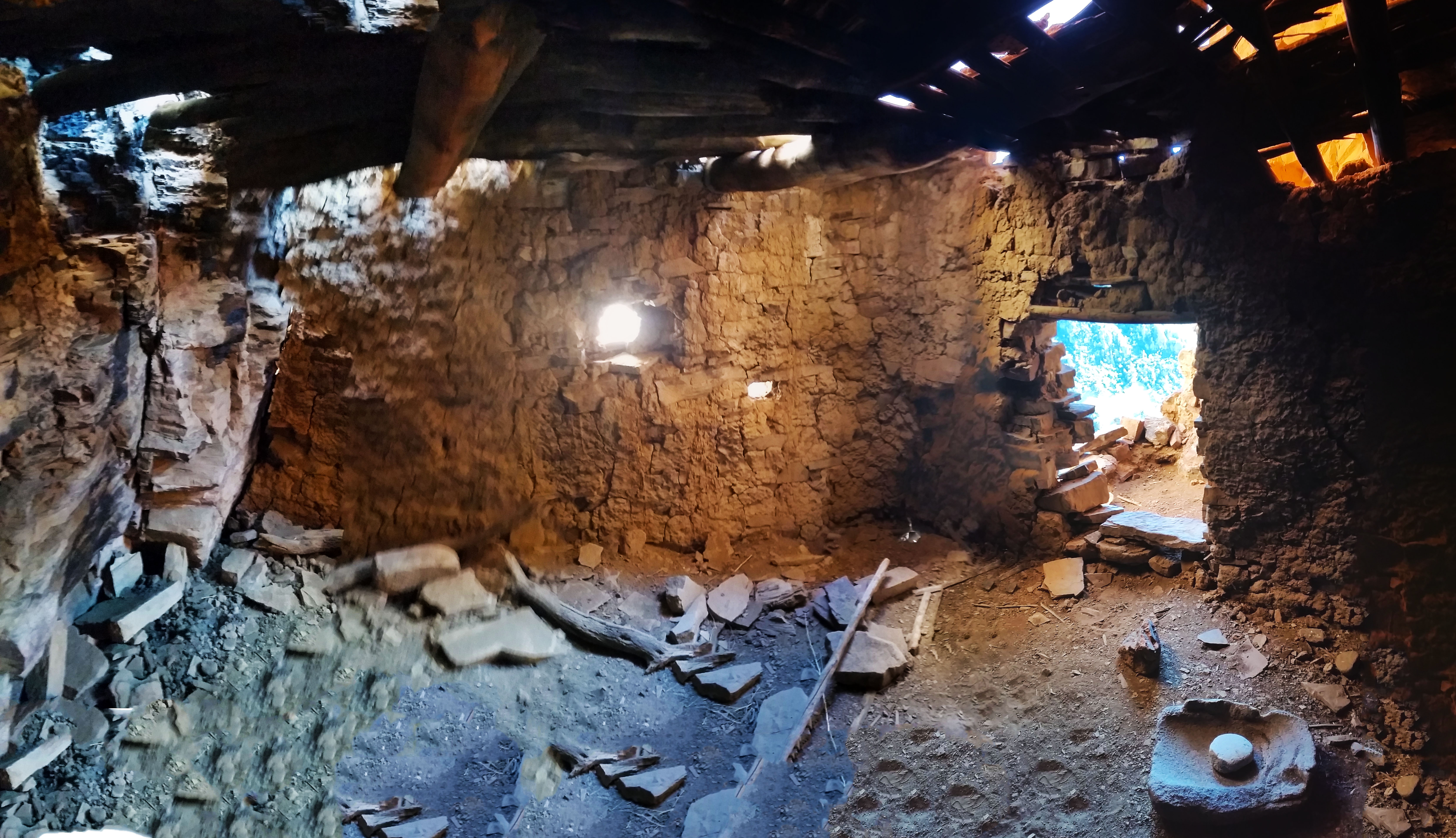
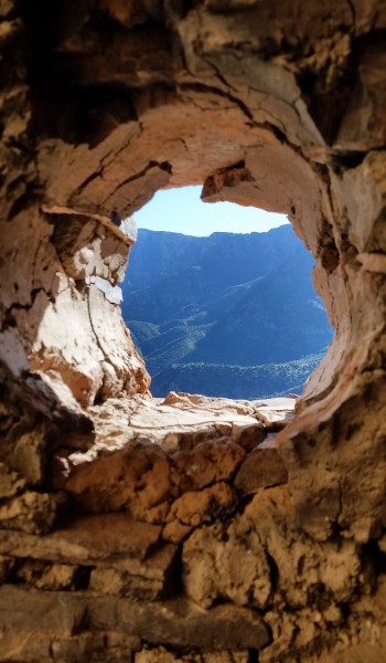
The last room furthest east was the most impressive of this ruin. The approach to the room had a nice exposed 10-15 foot climb with some pretty serious penalty for failure as the drop kept going eventually dropping into the canyon below. We both successfully made the careful climb and were soon in the main room taking in the incredibly impressive architecture of the Salado. It seemed as though there were main rooms for sleeping and a smaller build room towards the back where fires were burned, for food and heat we speculated.
The Indians were truly gifted, not only in their climbing skills but their resourcefulness to gather and survive such a hostile area. These special places should be shared, but above all respected. Soon after taking in the views and a few pictures we headed back for camp. What another well spent day outdoors!
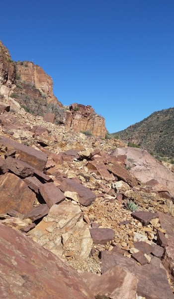
 Looking back to the est side of Cherry Creek
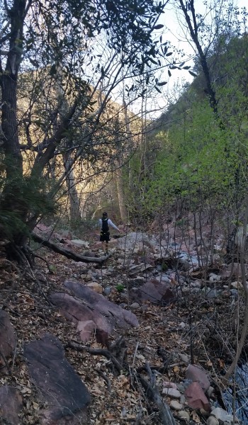 Look a Stevo!
HIKE INFO:
Sierra Anchas – Cooper Forks Canyon Ruins
HIKE STATS:
- Weather: Hi 70s, Low 40s, Sunny
- Water: 2.0 liters
- Food: 1 Nature valley sweet and salty bar, 1 bag of Salt and Vinegar chips, 1 orange, Clif Builders bar, 1 trailmix bag
- Time: 3 hours
- Distance: approx 5 miles Round Trip from camp
- Accumulated Gain: 1,800 feet
GEAR:
- Mule Camelback backpack (3 liter bladder)
CLOTHING:
- Cotton T-Shirt
- Arm coolers
- Cotton Handkerchief
- Nike running shorts
- Merrell Mid Moab Hiking Boots
- Darn Tough Medium Wool Sox
