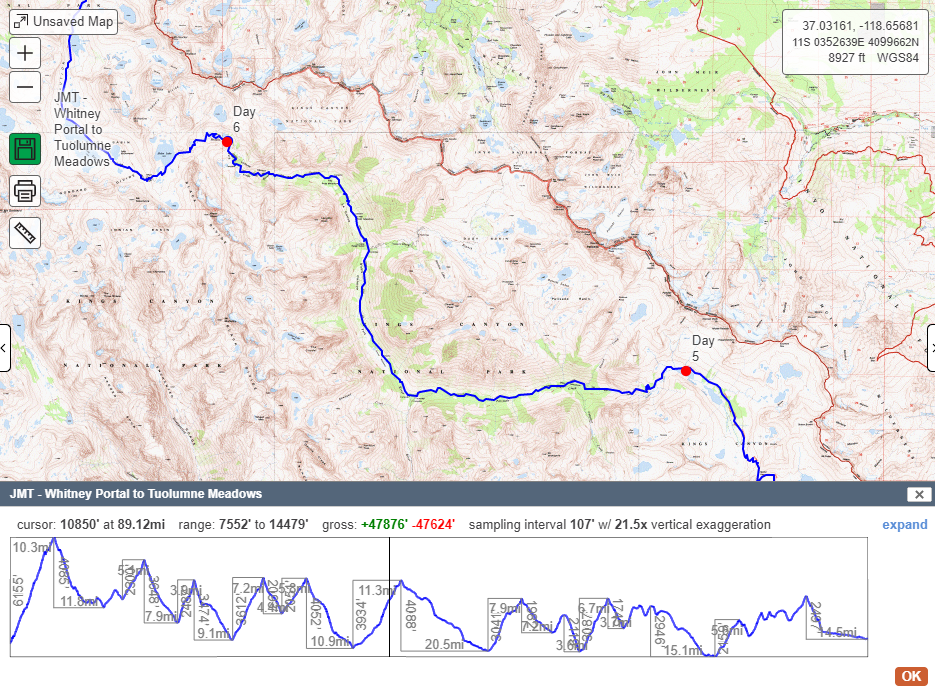
As a bonus, we met up with our friend Lis at the end of the trail in Tuolumne Meadows. We had just finished a 2 week push across the Sierras, and Lis was nice enough to take us up Cathedral Peak for a quick finale romp! Our trail legs were strong, but our climbing skills were a bit rusty, good thing we had Lis at the helm as our Rope Gun!
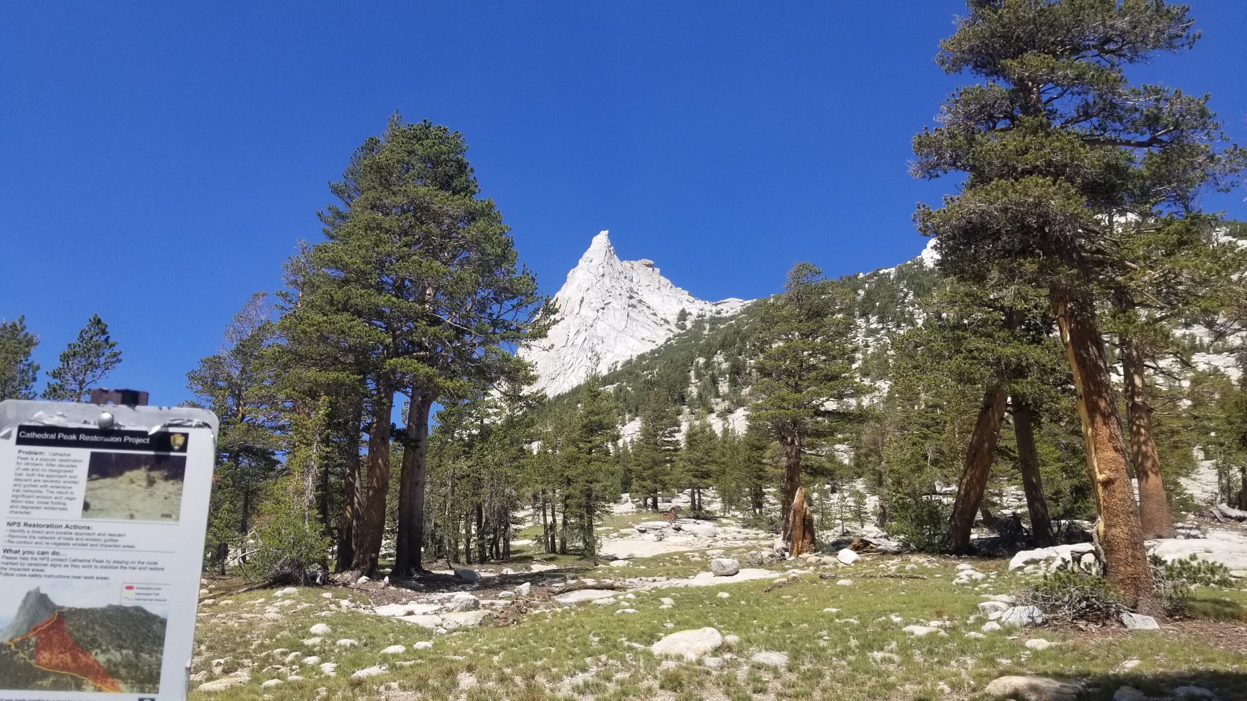
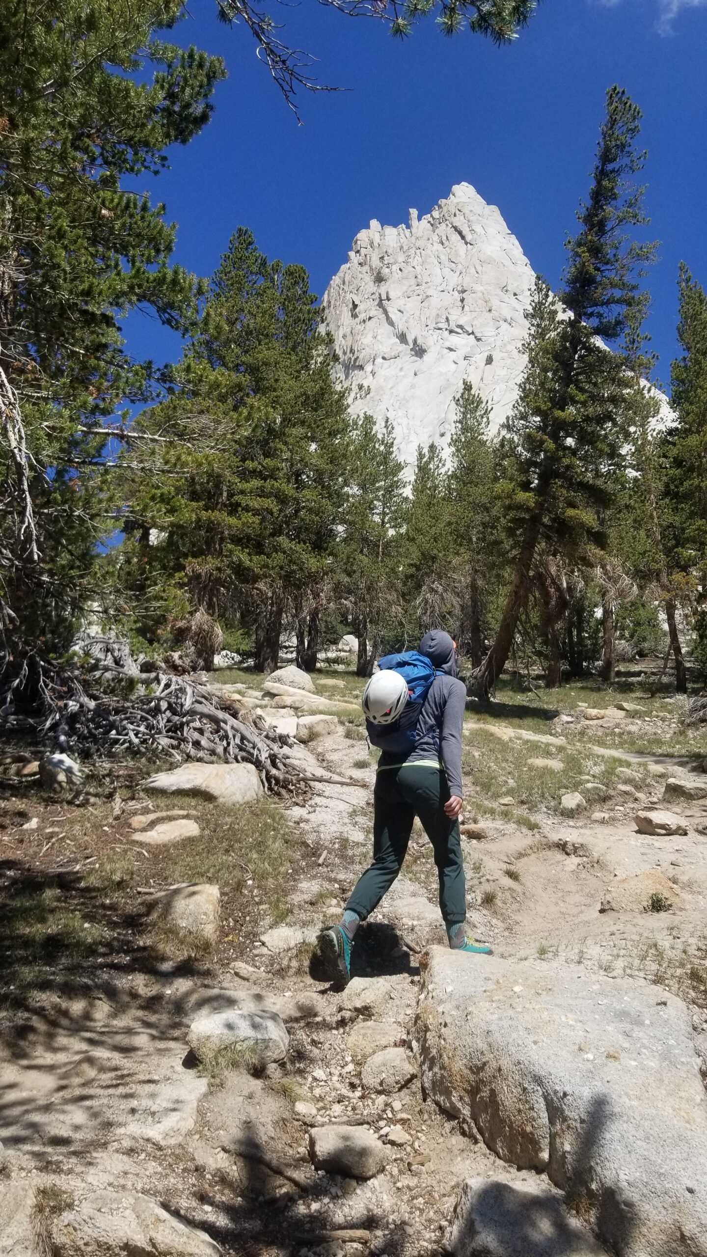
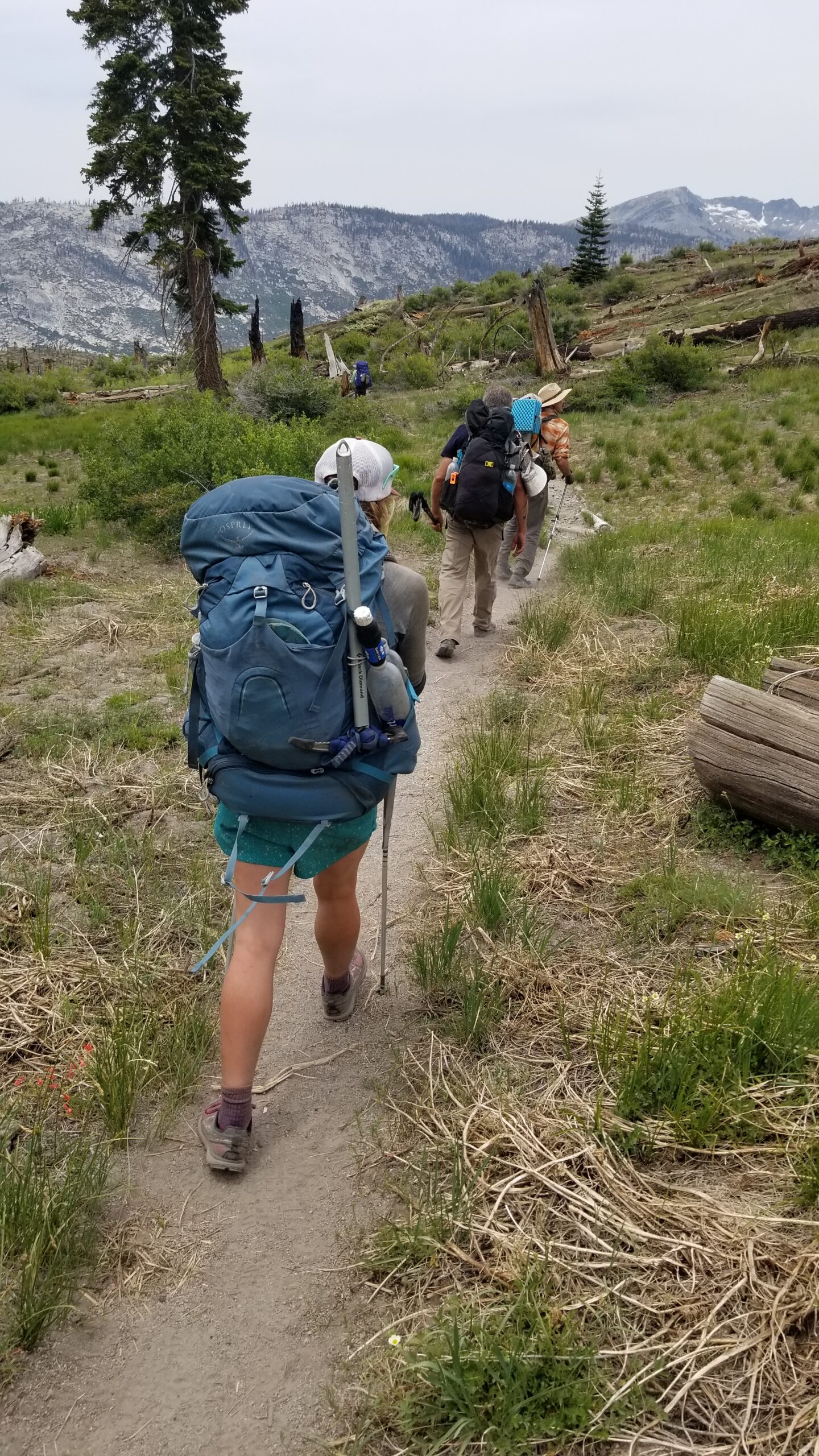
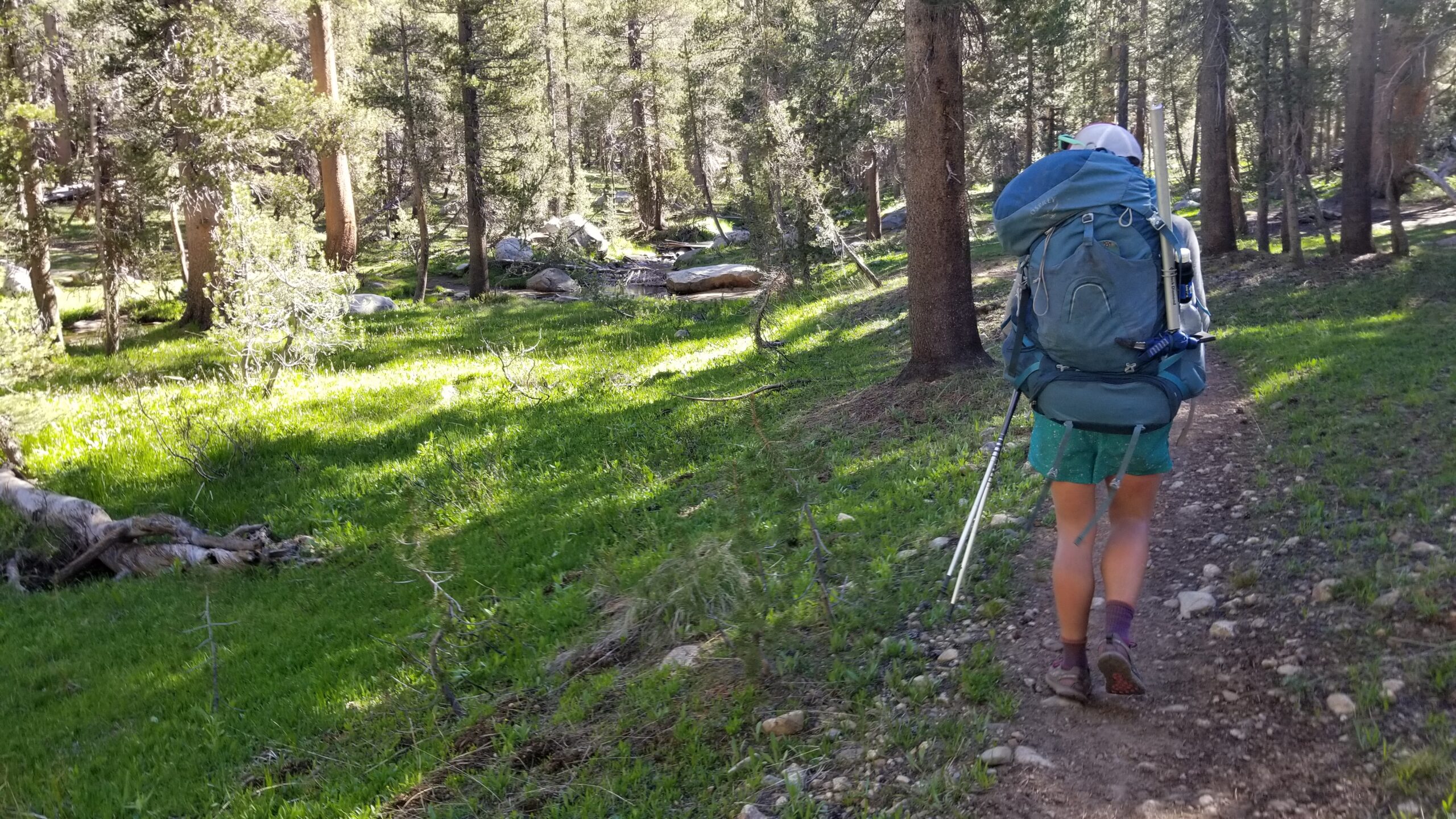
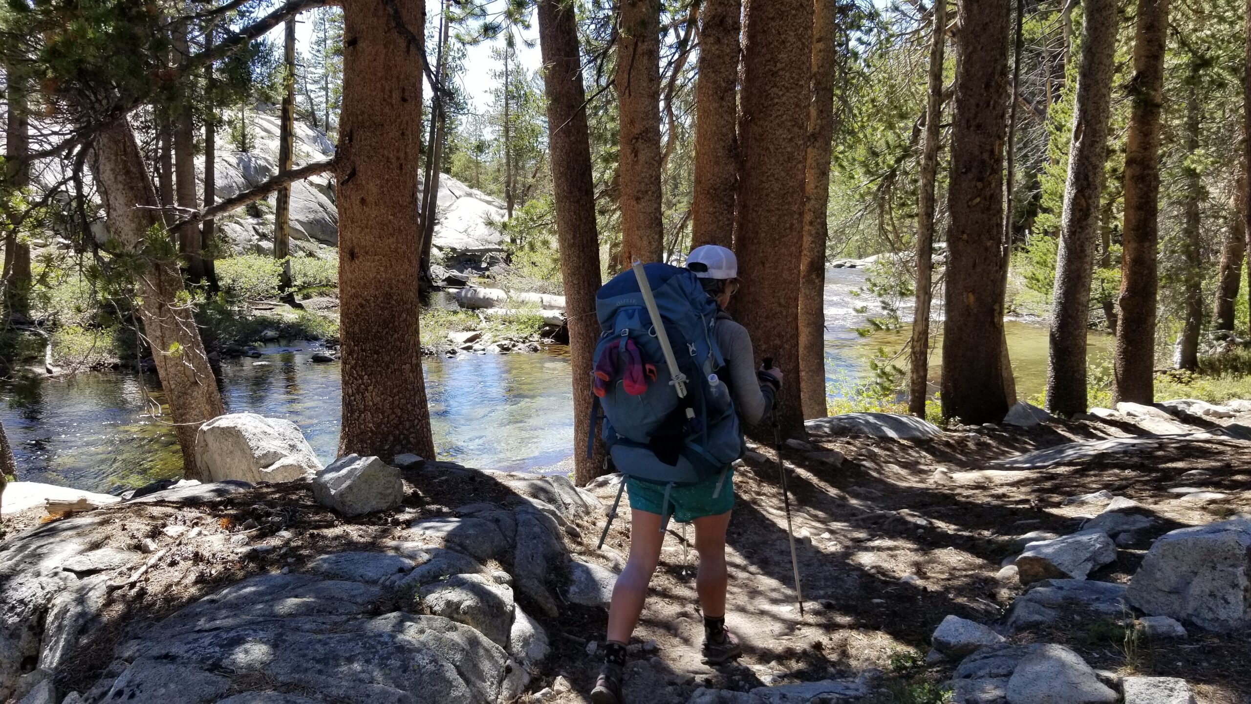
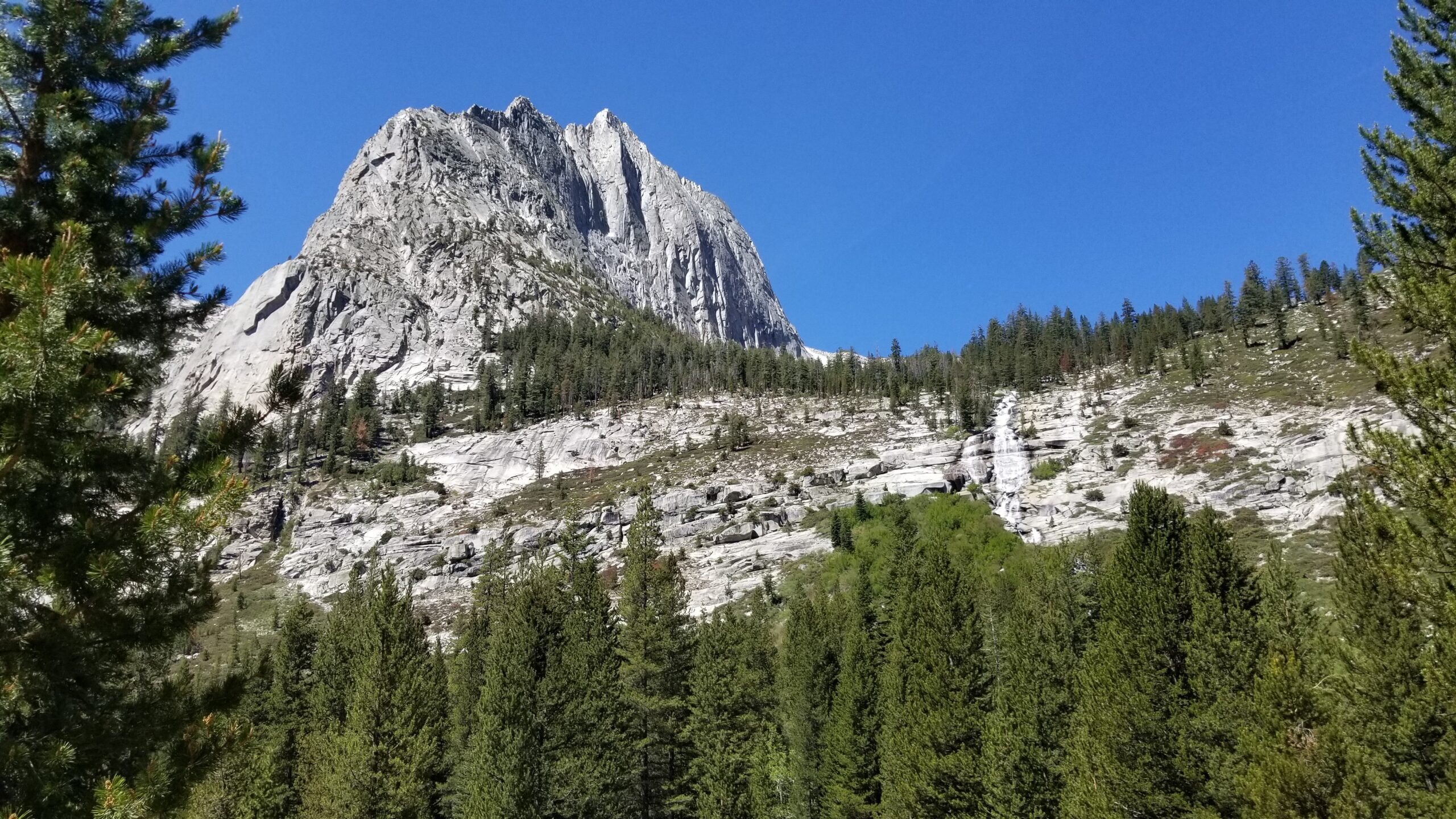
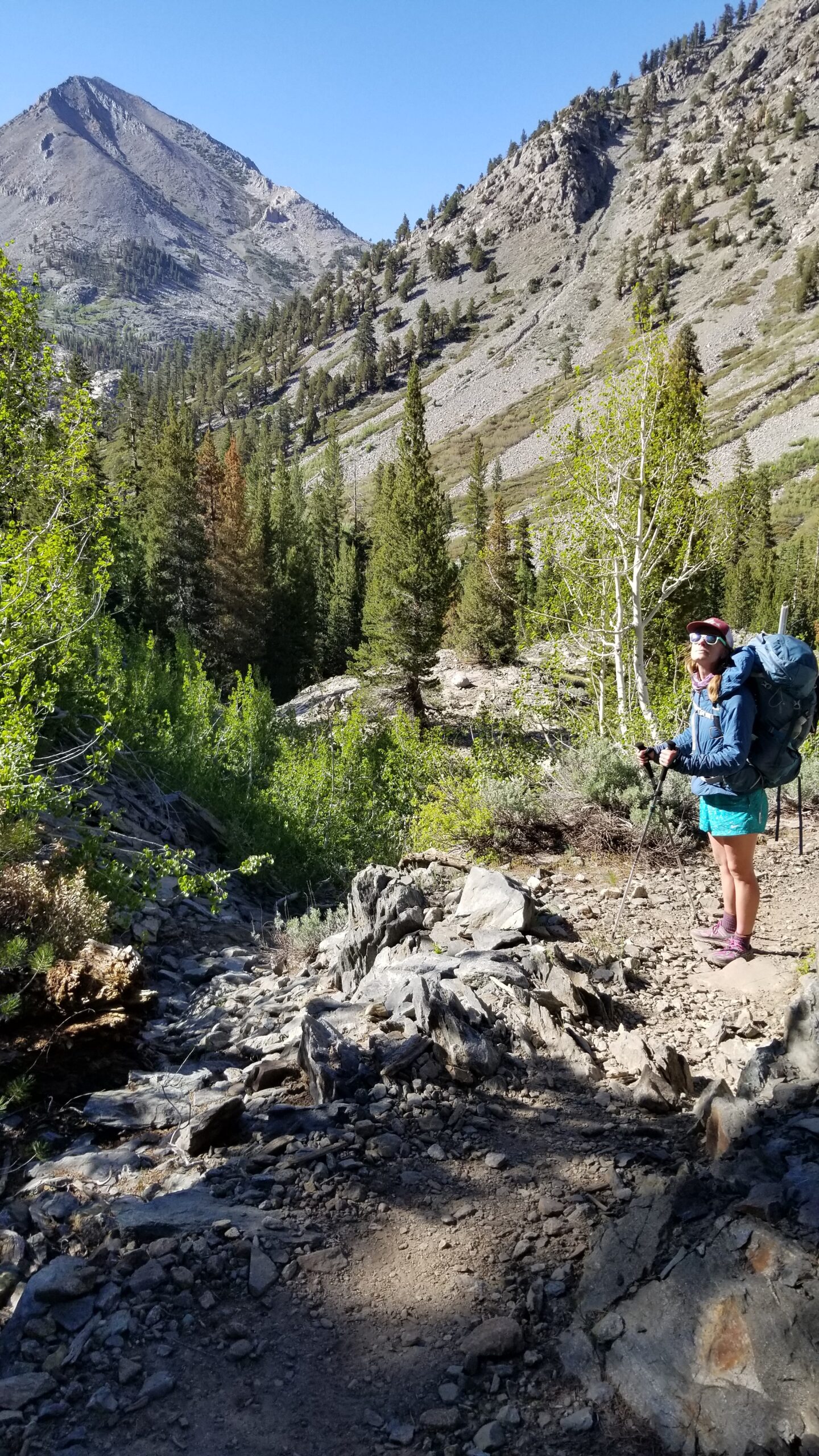
We left our camp early and headed towards the trailhead of the Cathedral Peak nestled in the heart of Tuolumne Meadows. We could see the large peak jutting into the sky from a long way off, it looked like a white pyramid beckoning all climbers in the immediate vicinity towards it. We made quick work of the approach across creek-laden meadows and soon found ourselves on the final push to the base of the huge granite peak. We could already see quite a few parties on the wall, plus some commotion at the start of the climb.
As we made our way closer, we realized there was a Search and Rescue (SAR) event unfolding before our eyes. A young lady had fallen on the first pitch, and broken her ankle. Already on the stretcher, being tended to by the medical personnel, we decided to push on and try not to let it rattle us on the climb.
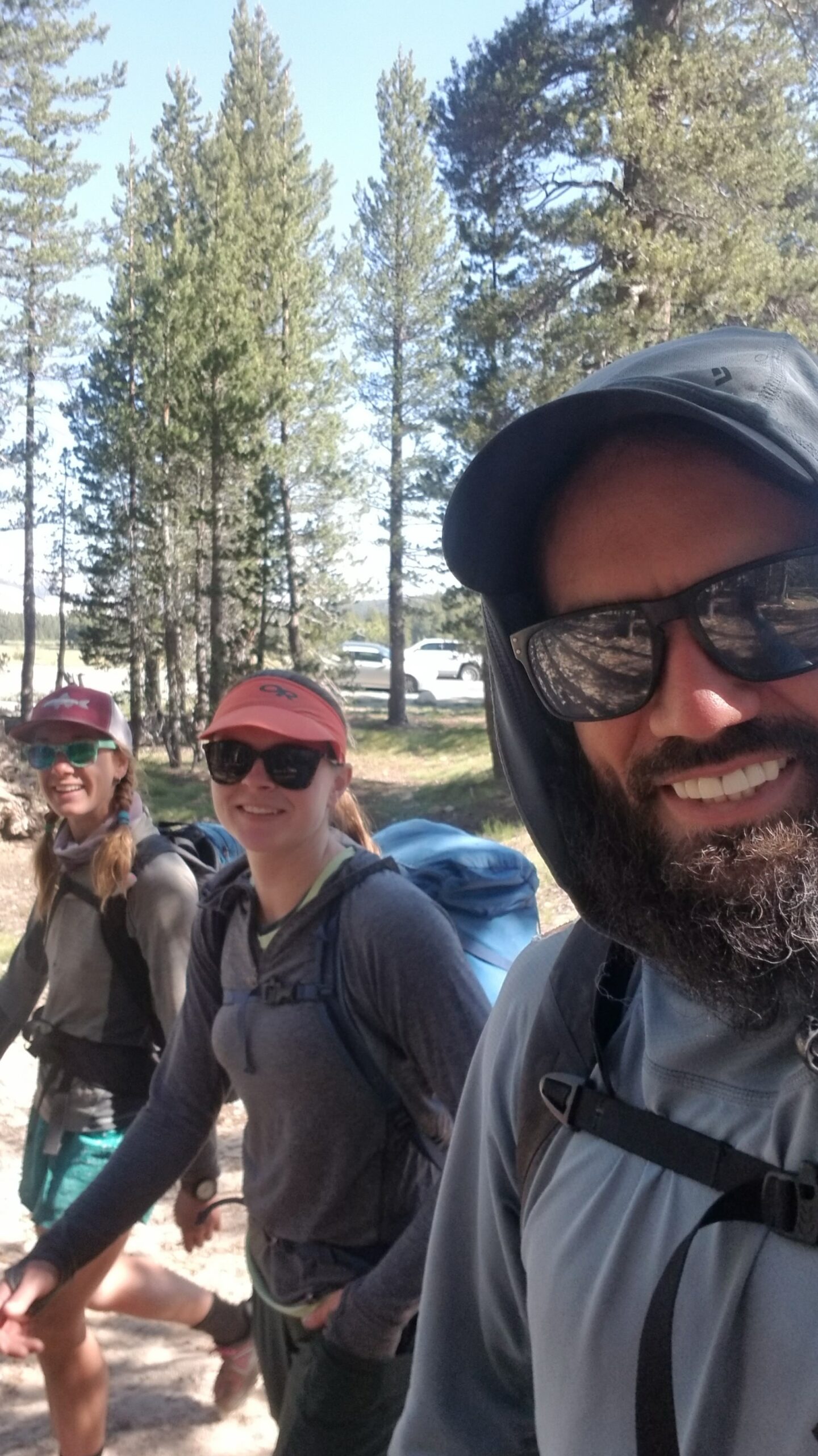
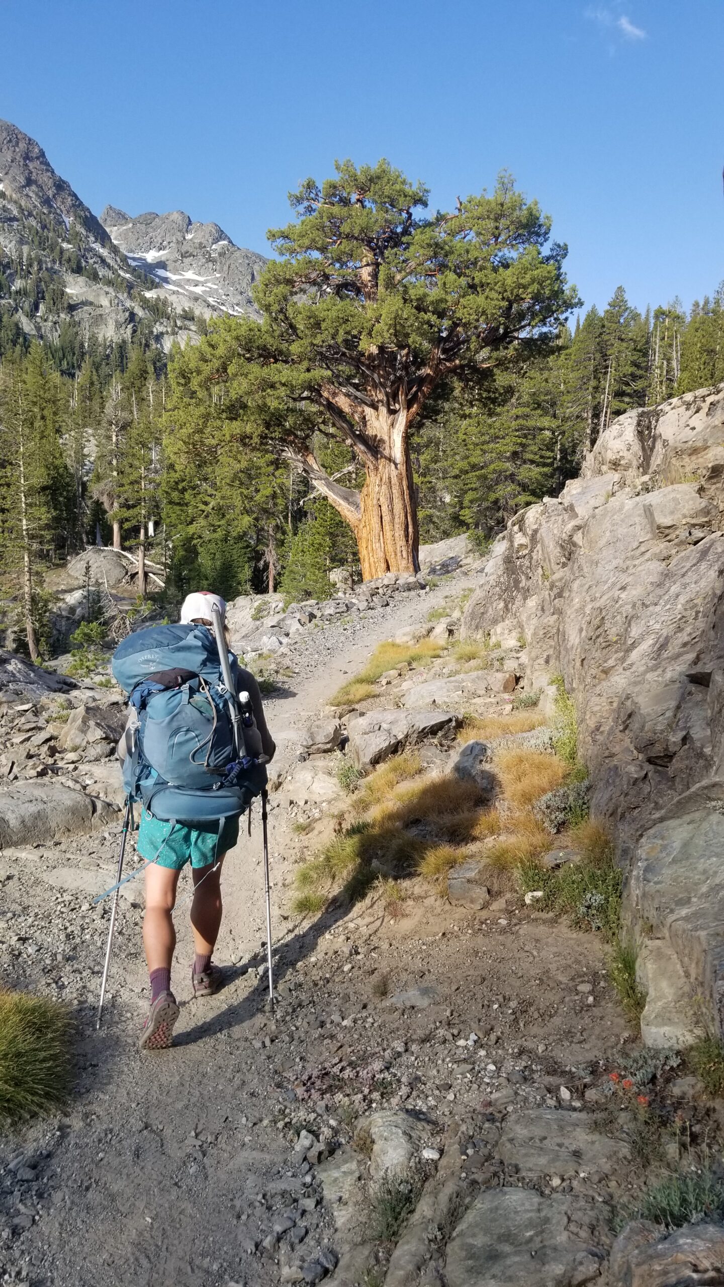
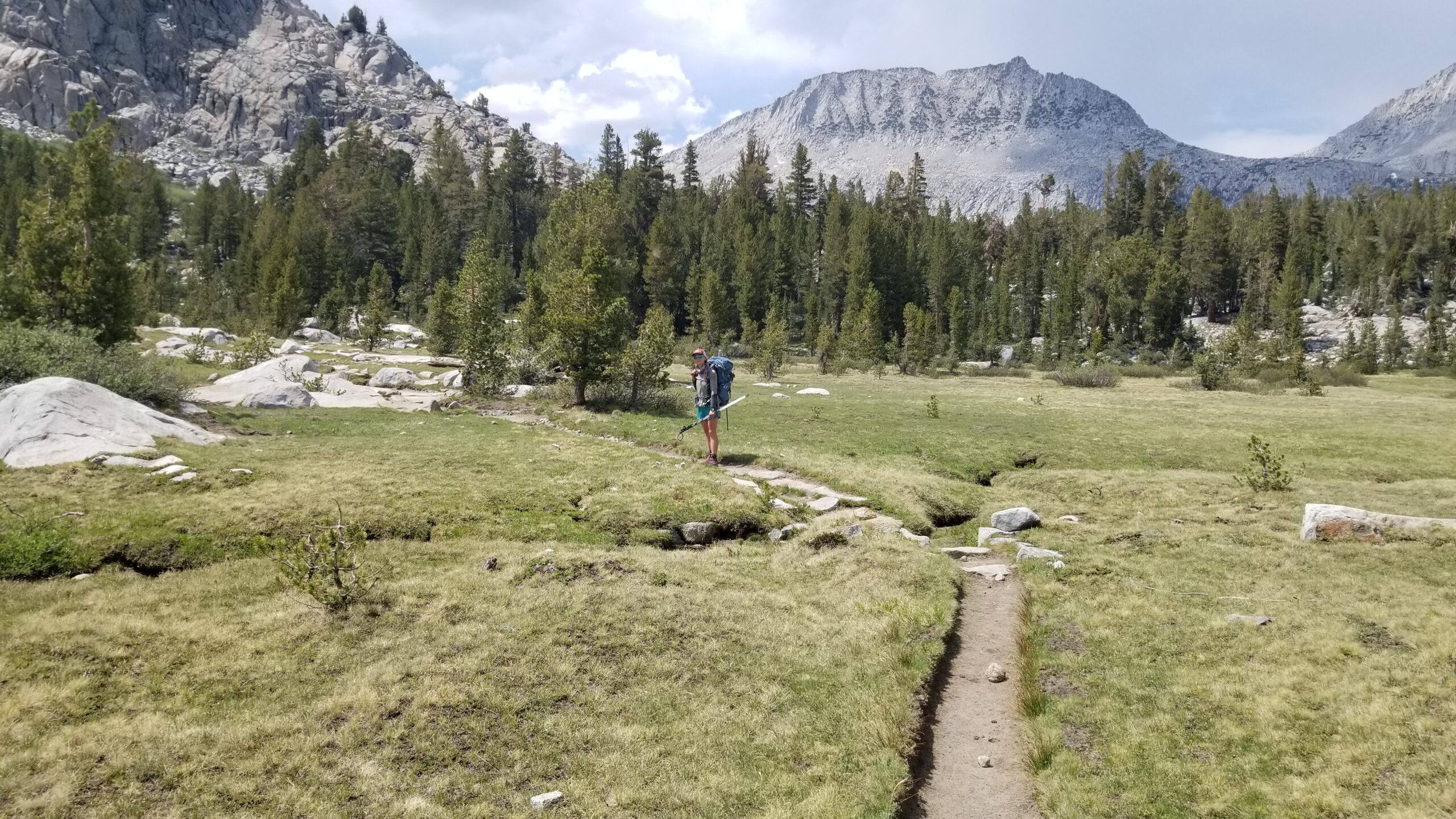
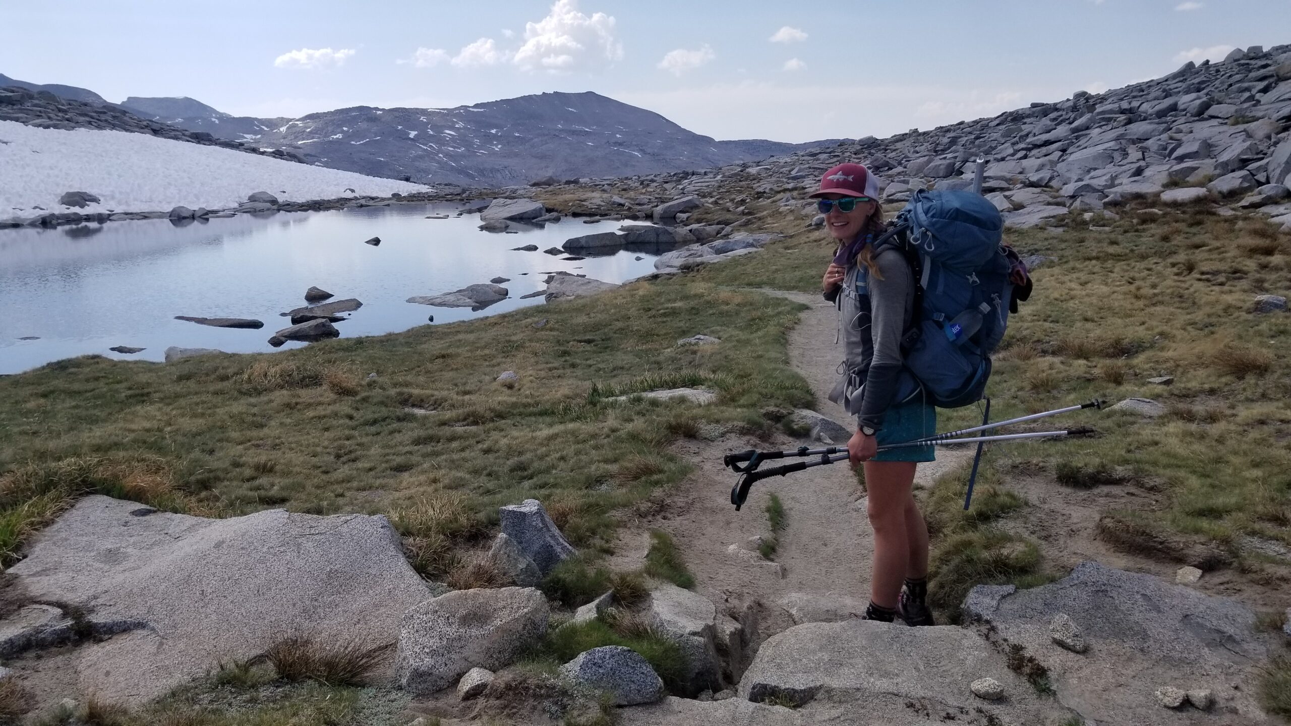
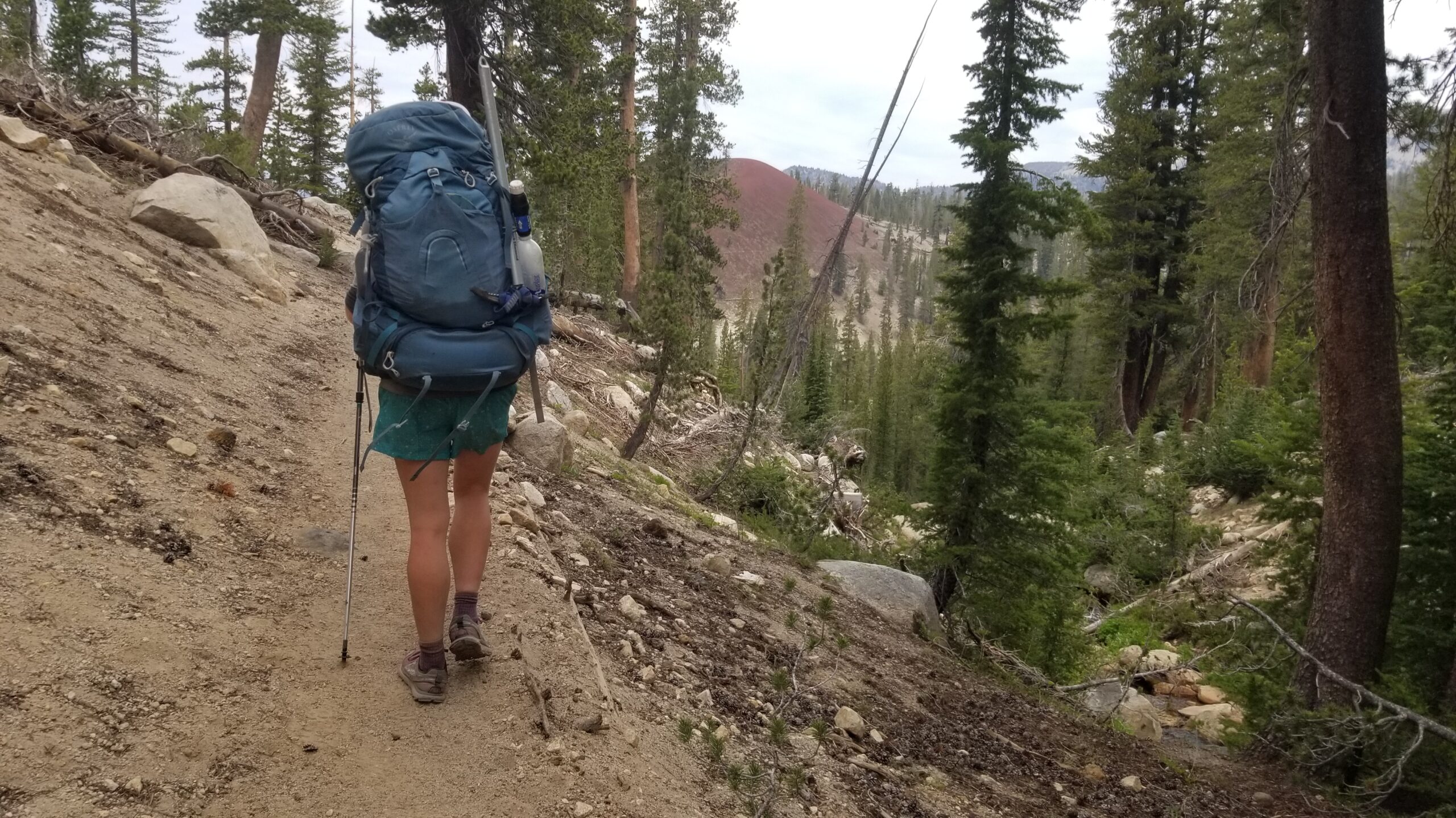
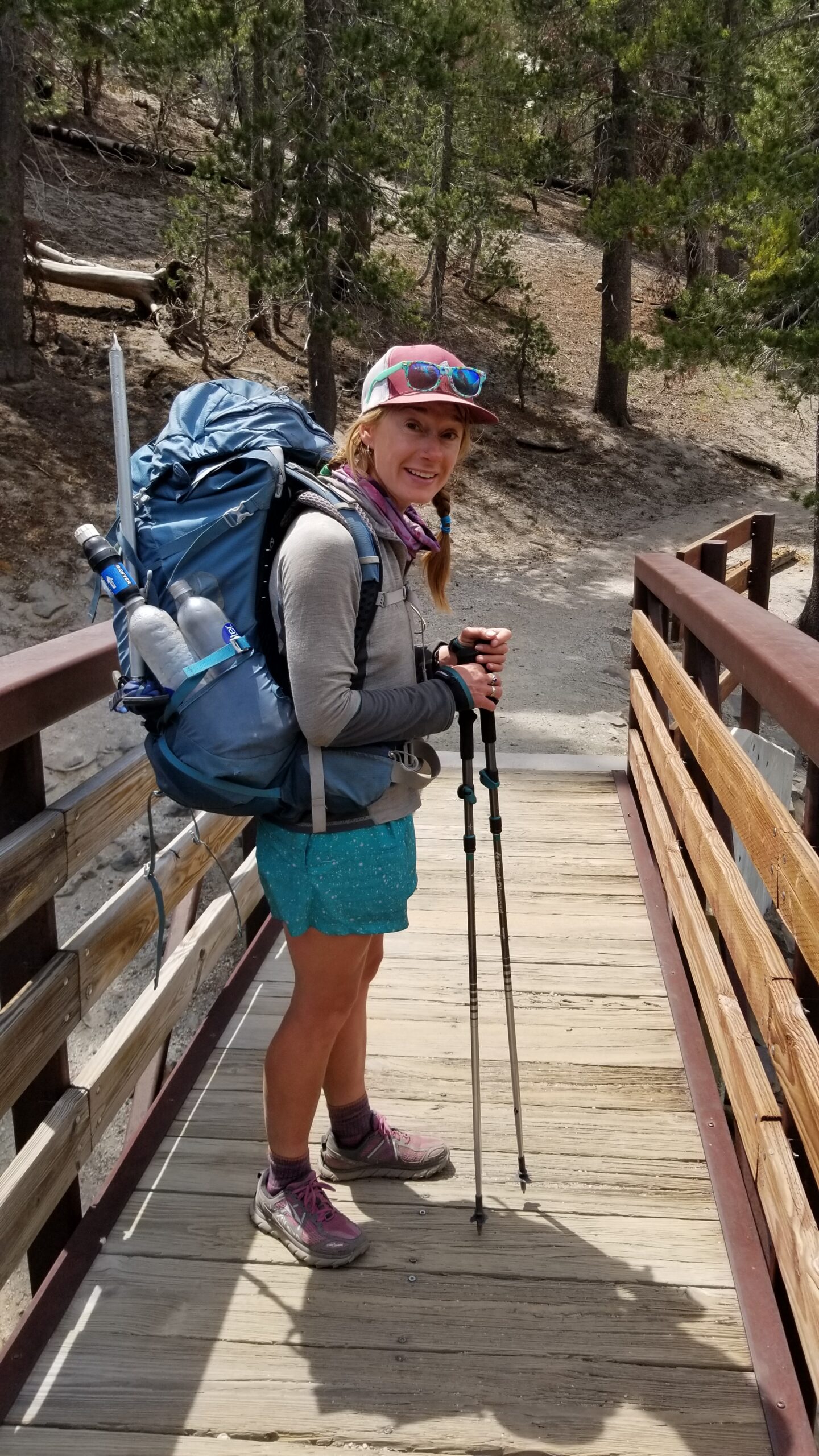
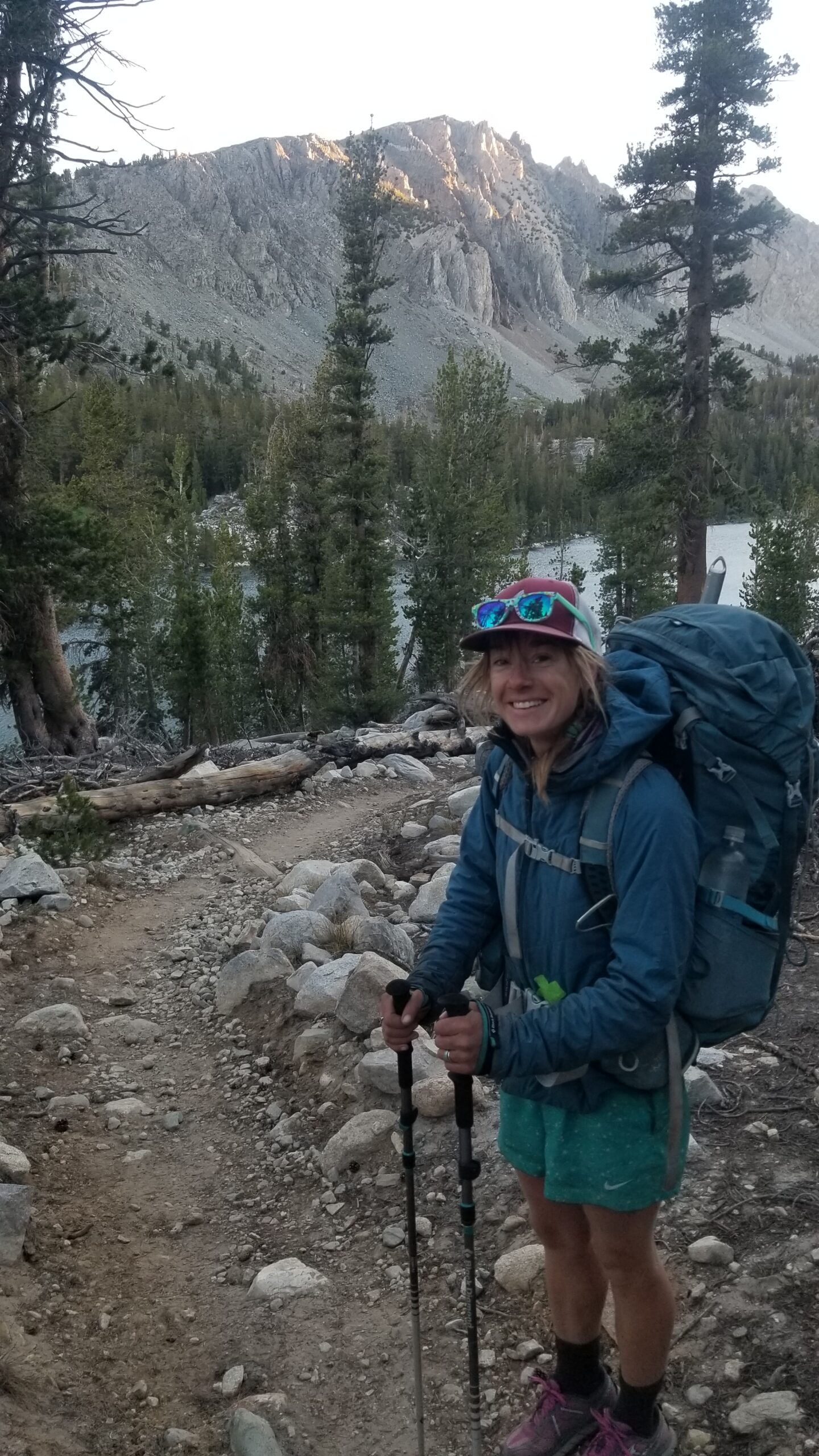
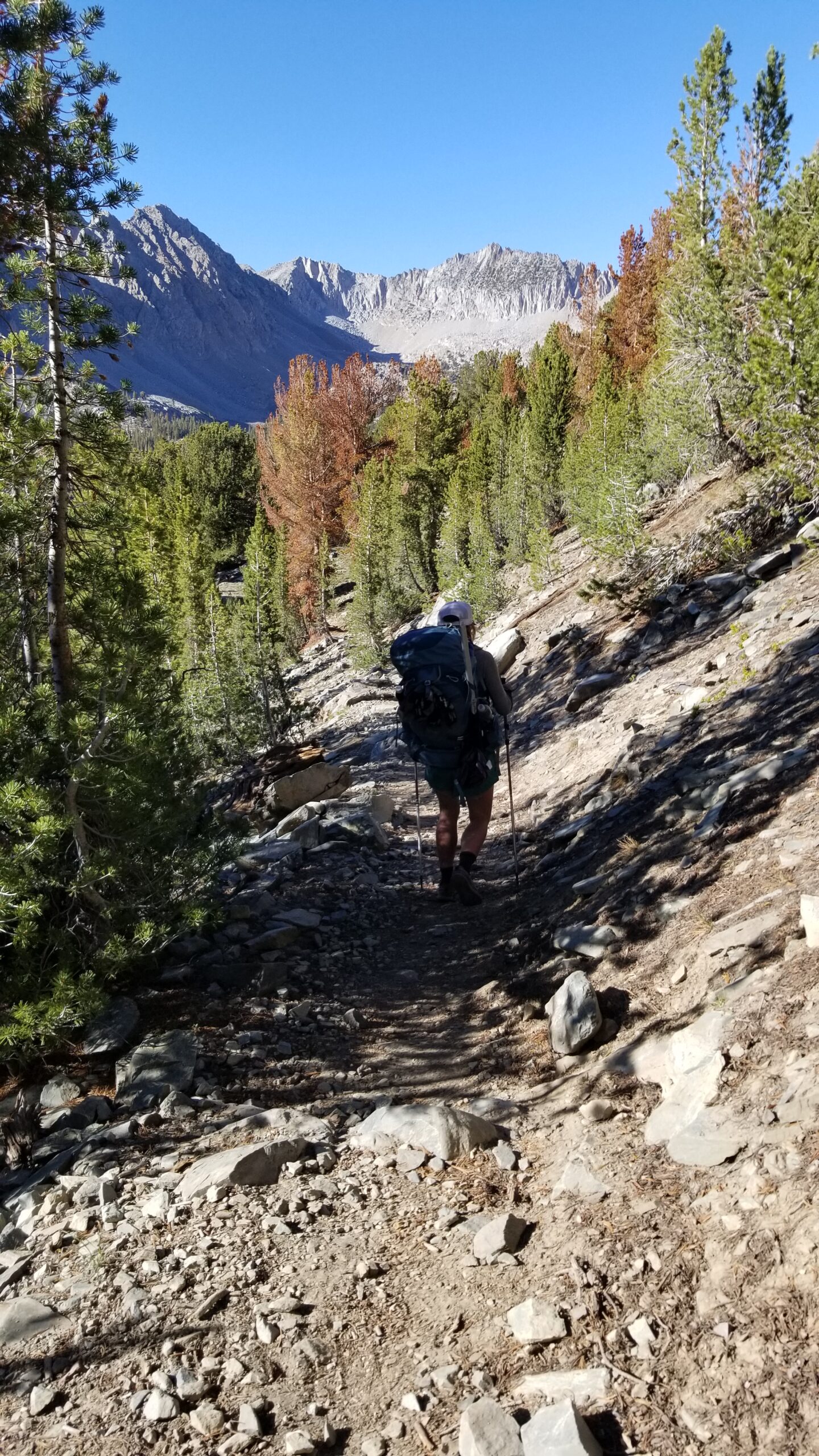
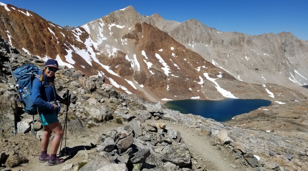
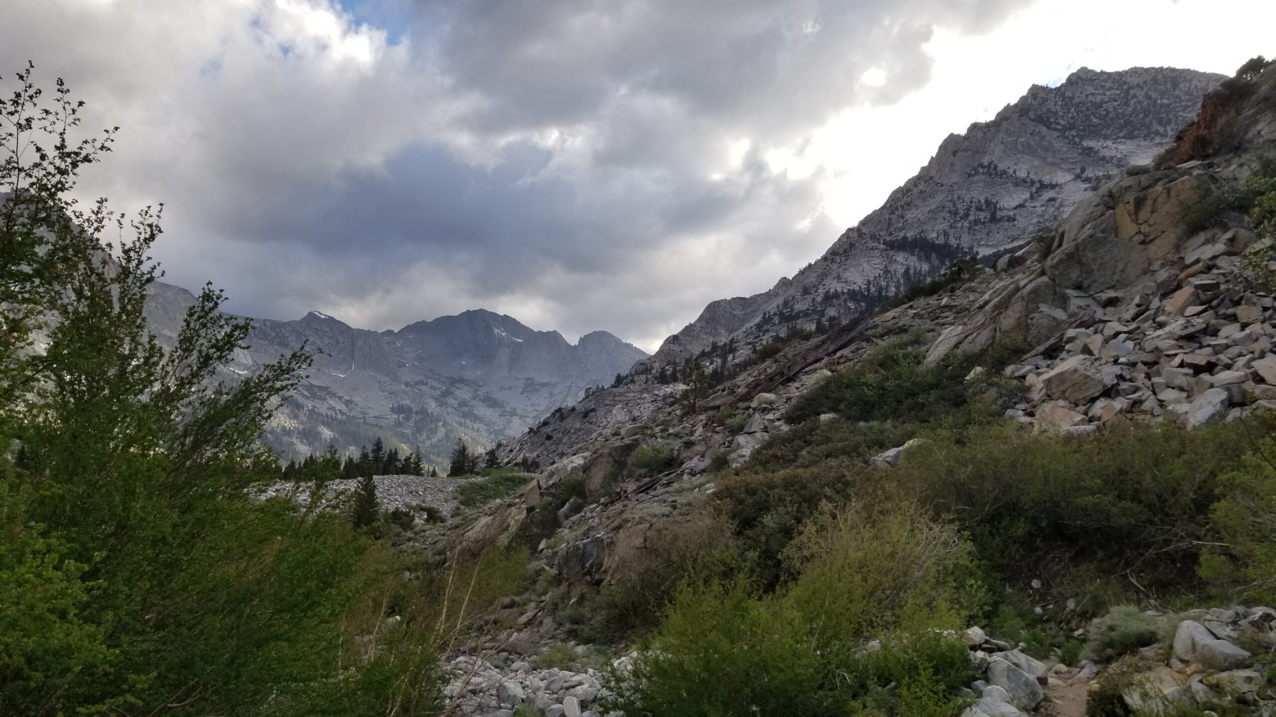
Objective spotted!Rolling strong on the approach
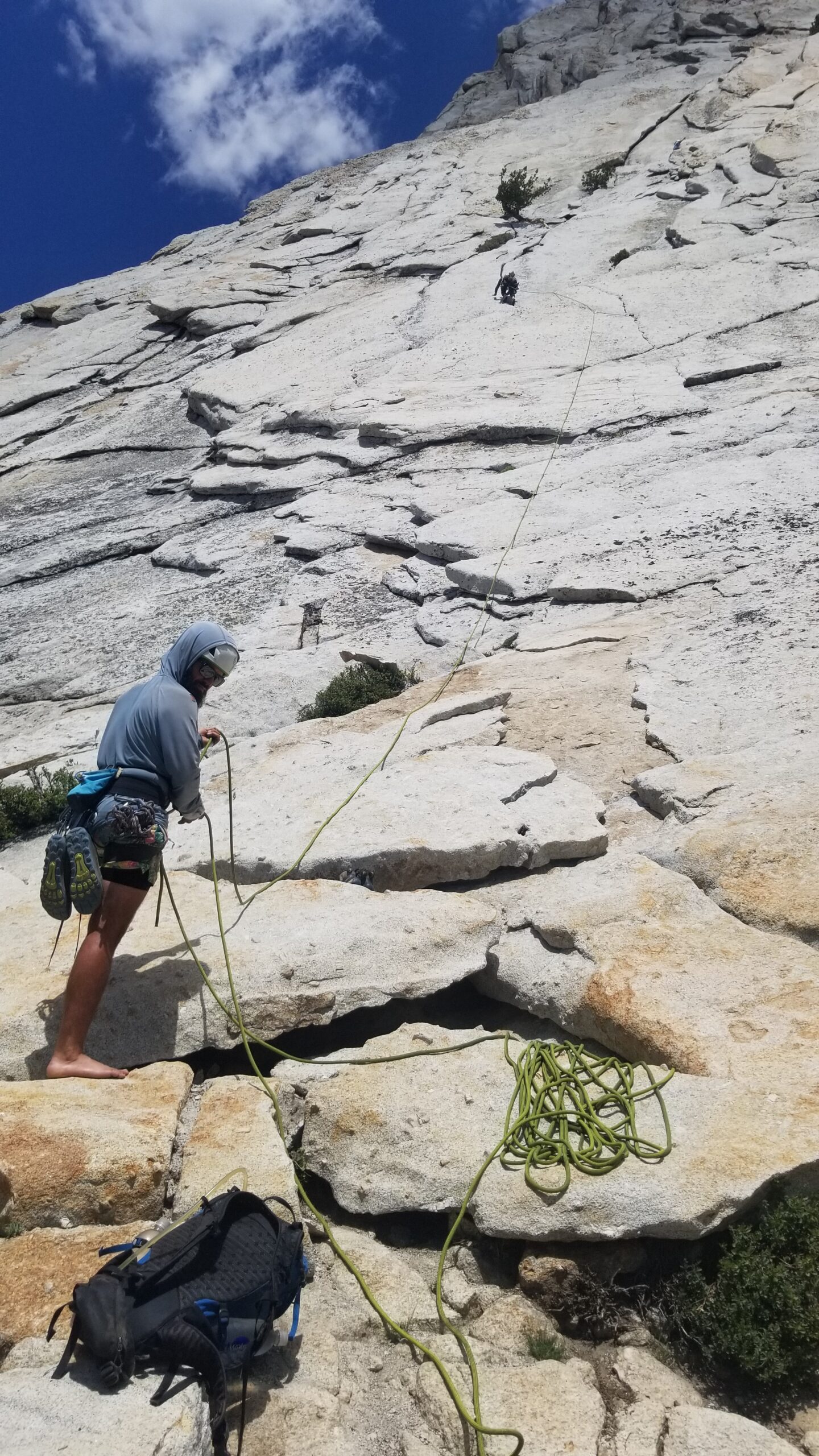
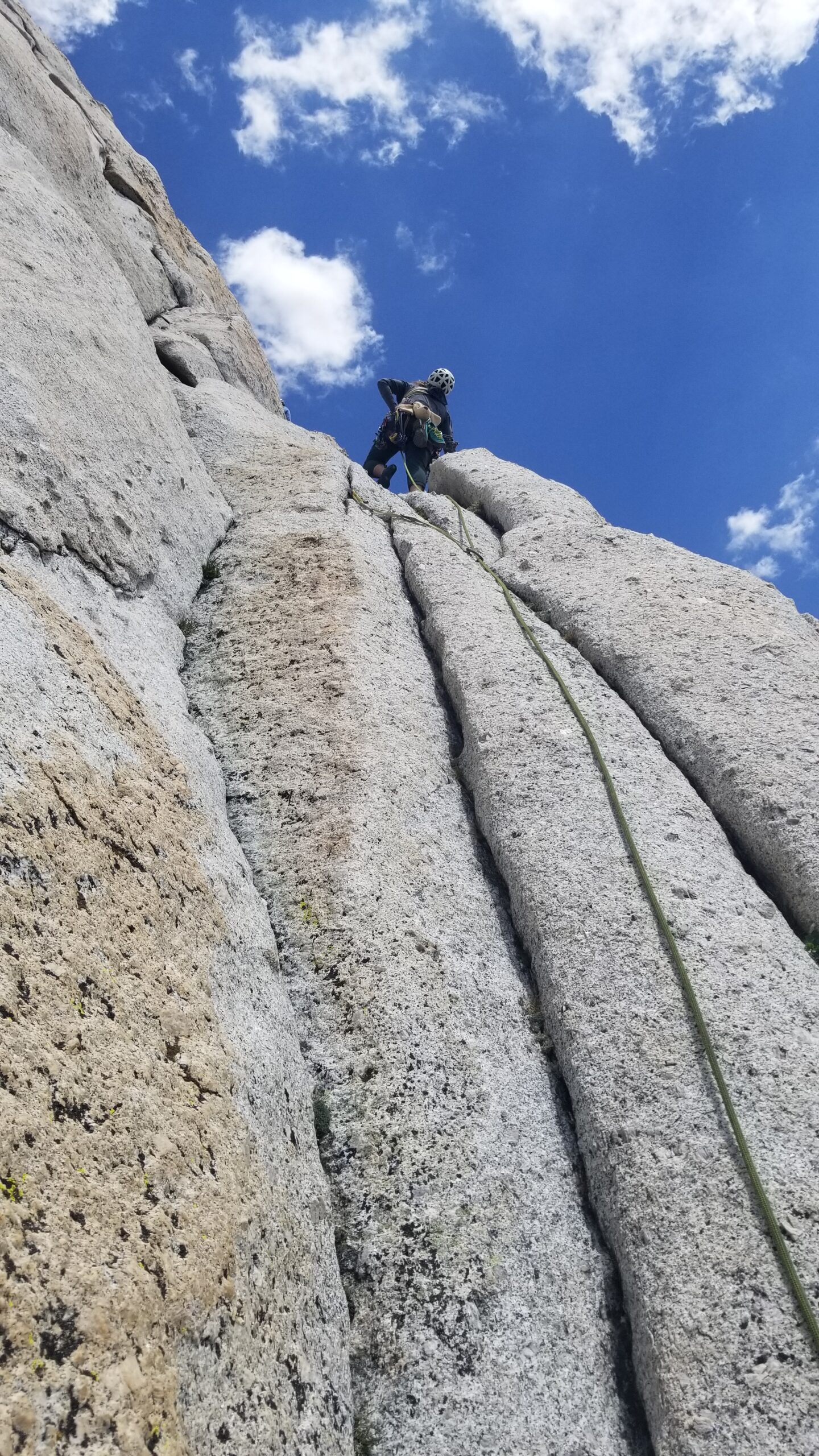
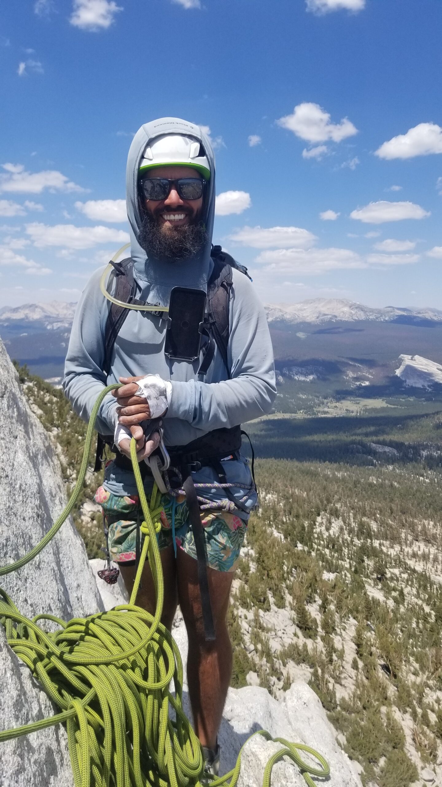
We flaked the rope, tied in, and Lis was off! She made quick work of the run out protection of the first pitch, found a good ledge, made a gear anchor, and yelled down “Off Belay!” It was time for Izzie and me to get to work. Izzie tied in short, just 15 feet before the end of the rope, and I followed tied in at the end. It had been a while since either of us had climbed, so we were both very focused and moving slowly over the fine granite face. This was a wonderful way for Izzie and me to experience the climb together, supporting each other as we ascended the huge granite monolith.
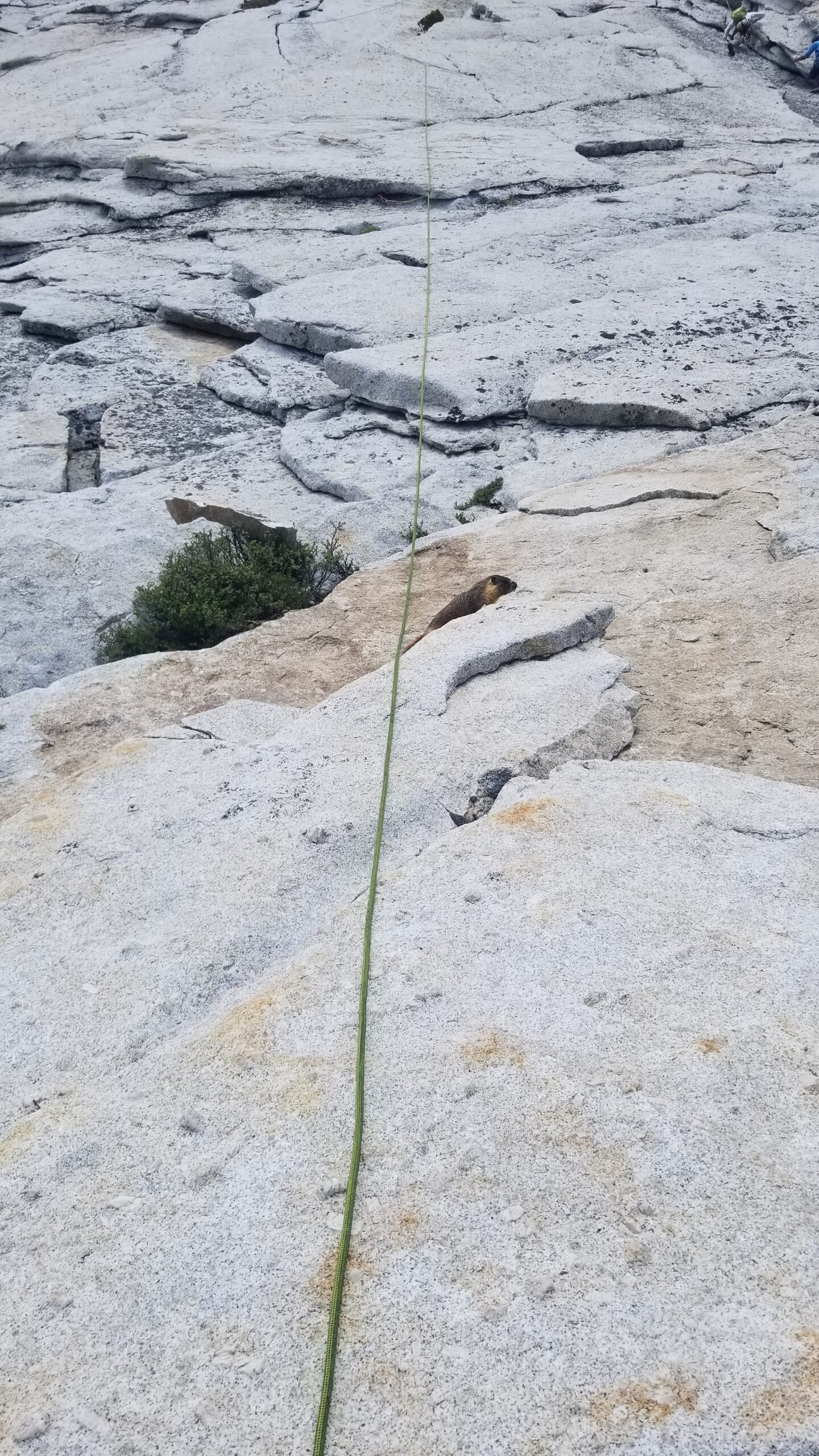
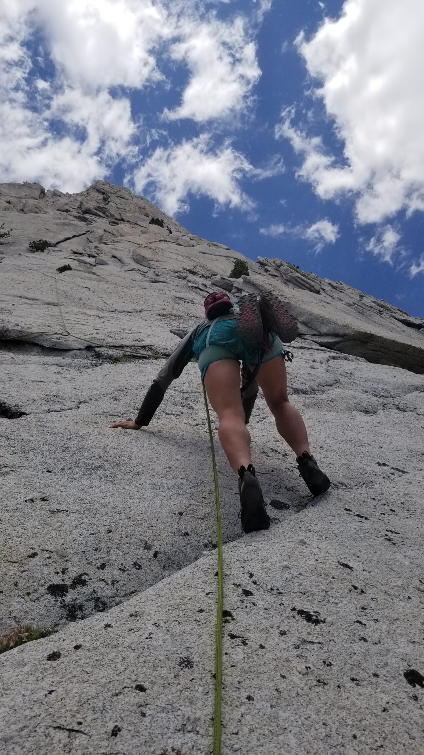
Belaying Lis up P1Marmot having not a care in the worldIzzie taking off, making the slabs look chill.Not a ton of crack training on the JMT, but we were loving the movement in the vertical terrainTo the next belay!
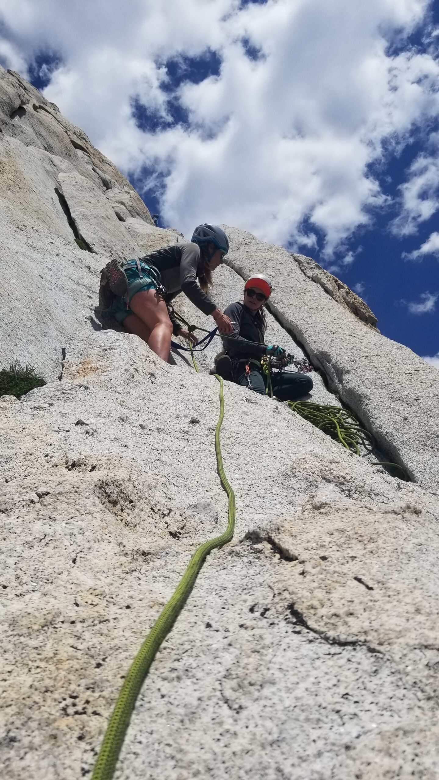
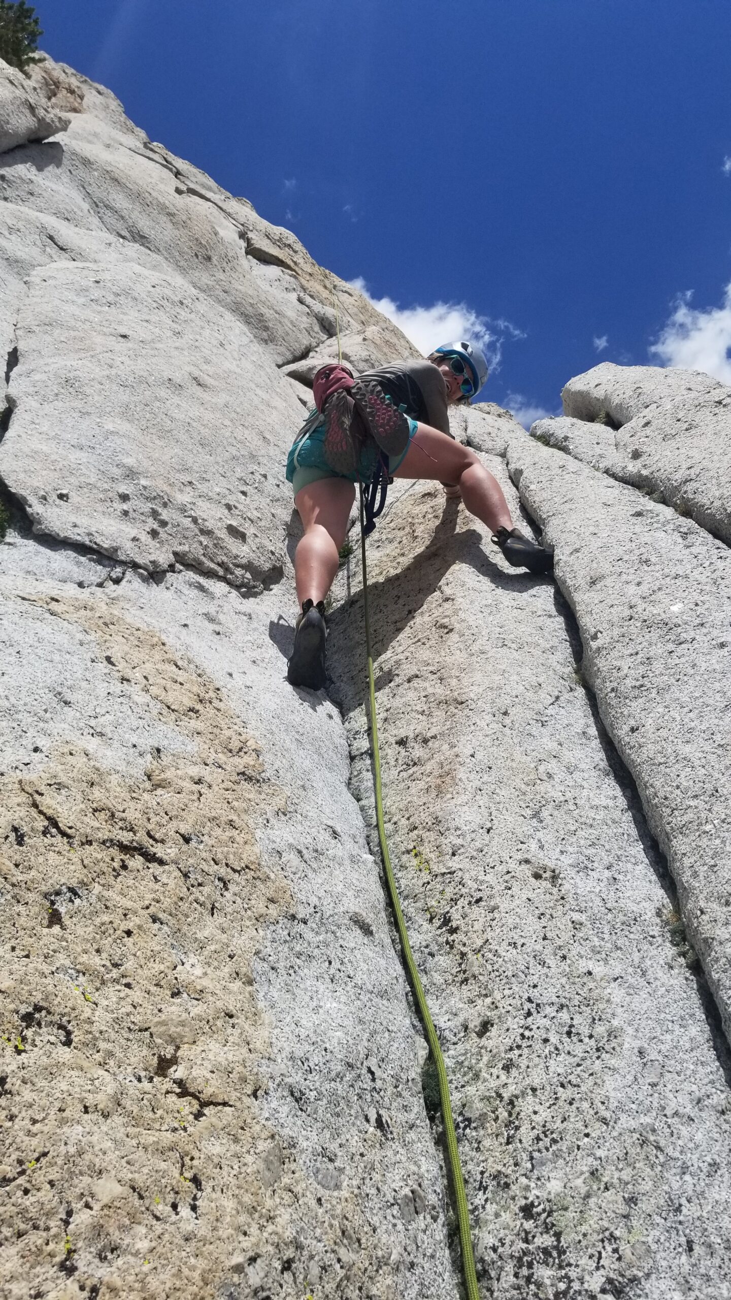
After we reached the next belay, Lis gathered the gear and took off again! We were flying up the peak despite waiting for other climbing groups to make their way up the face. Lis picked different lines than most, really charging the lead, making the run out pitch look effortless as she danced up the endless grey face of rock.
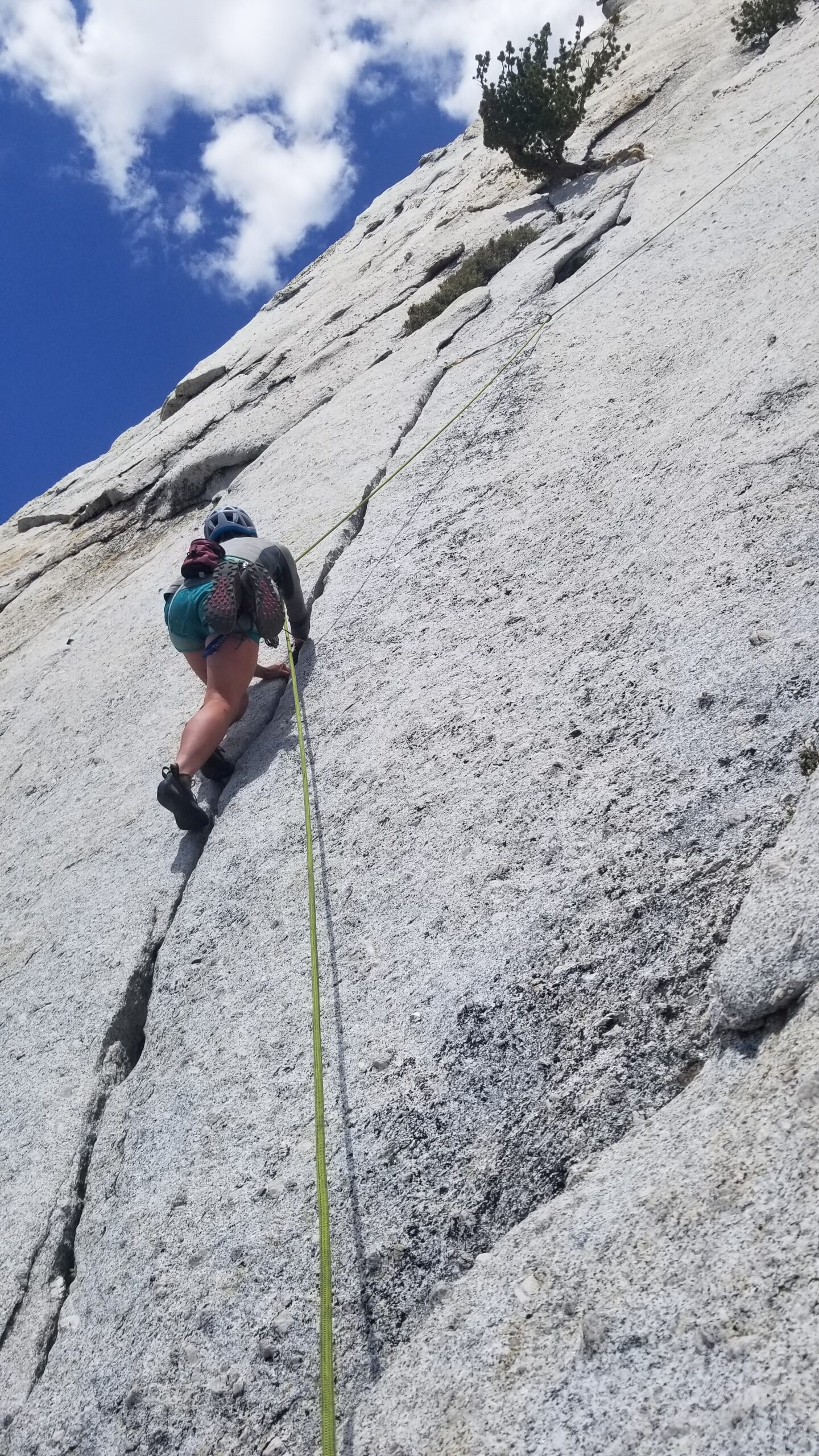
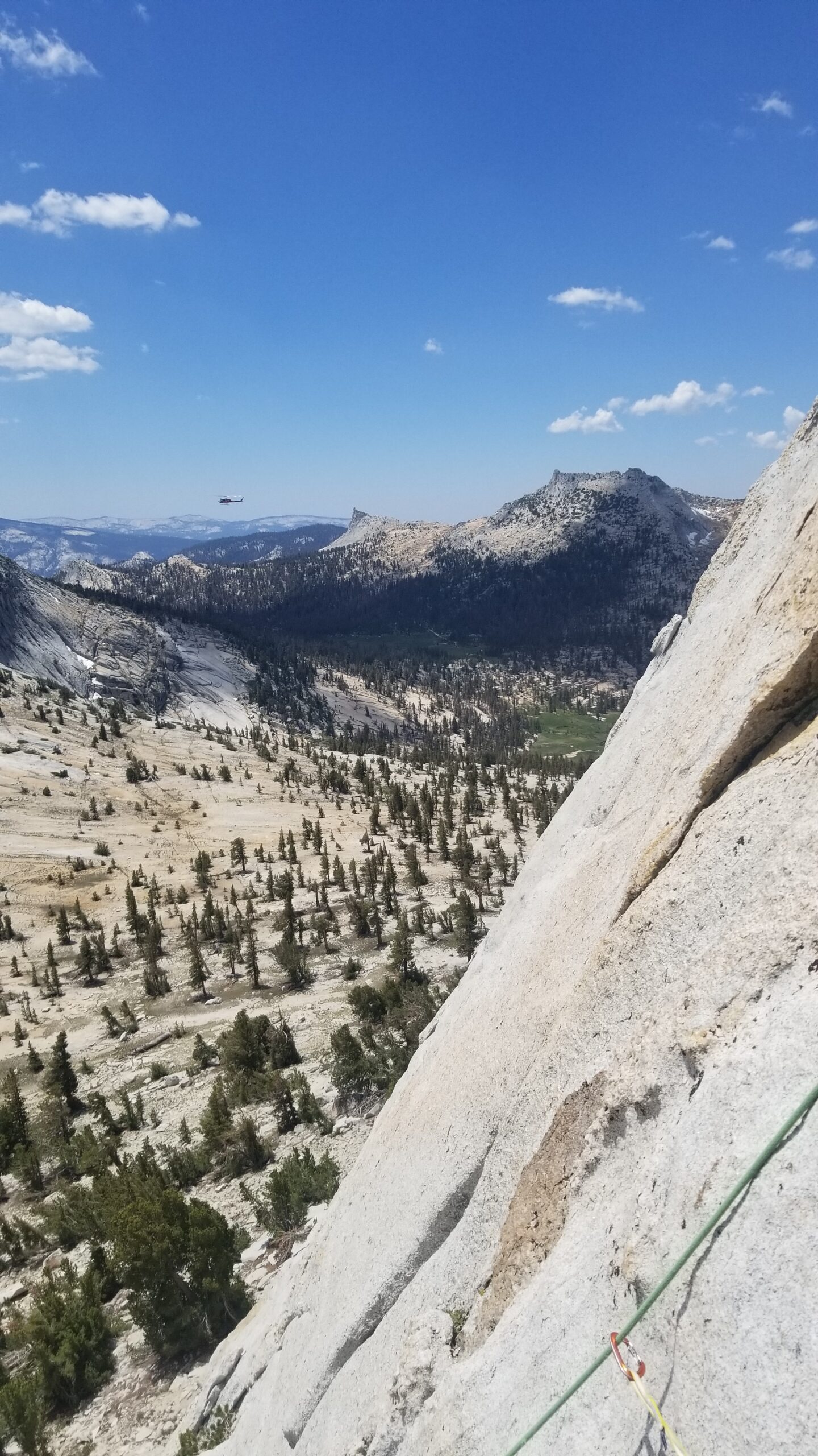
Off Lis goes for another pitch!Izzie soon following behind LisBeautiful views and a large mechanical bird on patrolThe Crew taking a short beak waiting for the next party to move upwardsBelay on P3
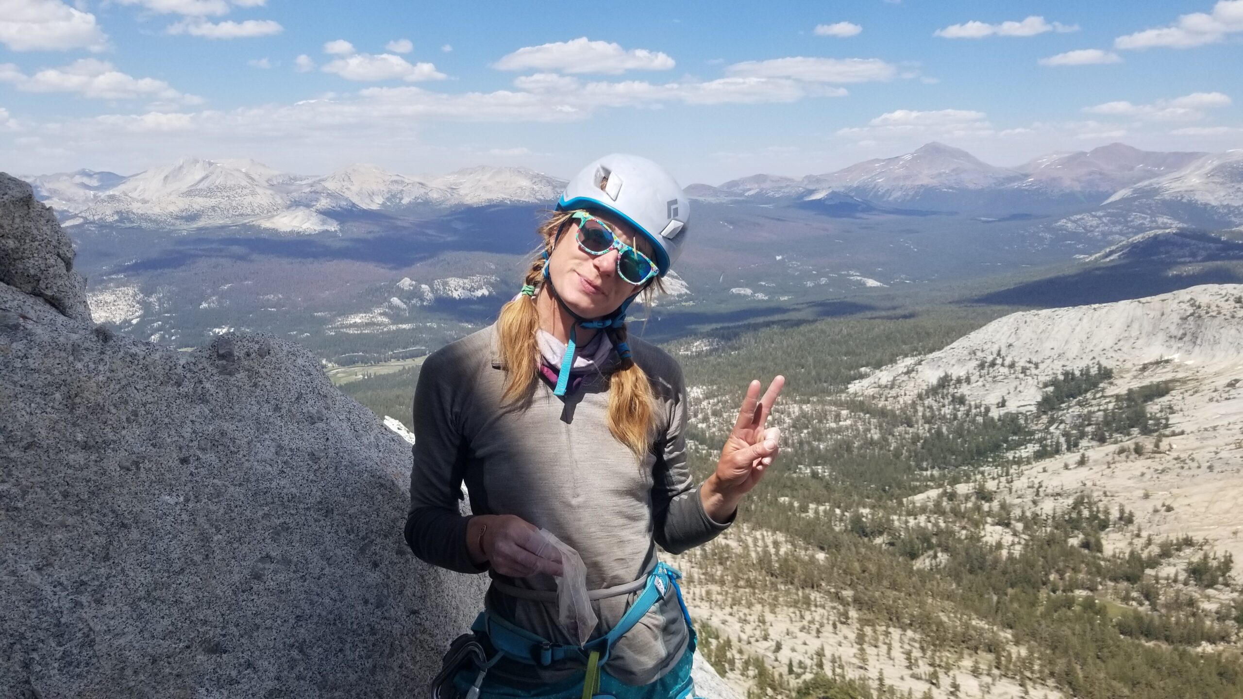
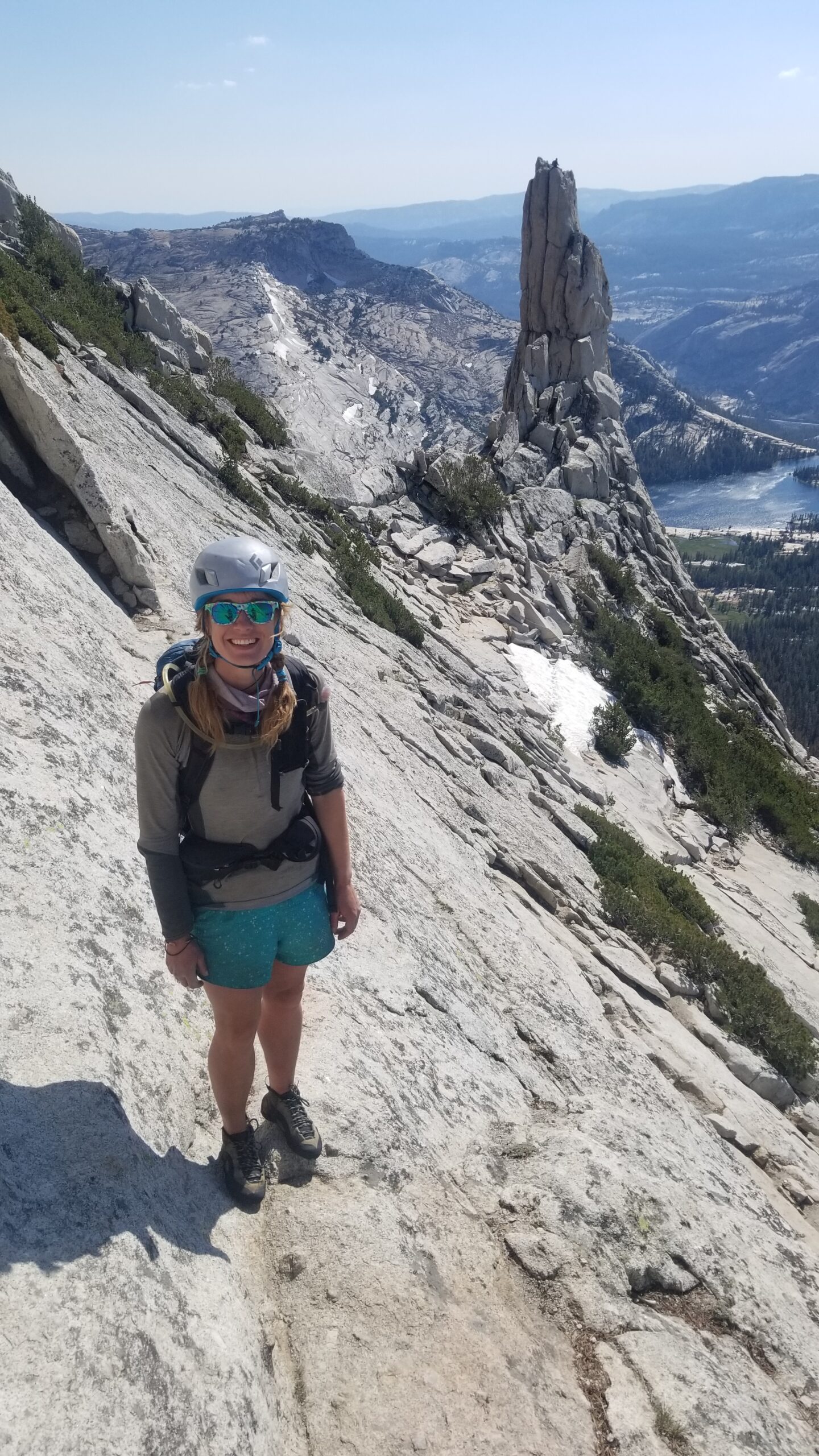
We were chatting as we went and really taking in the views at the belays; this was a great way to spend our last day of the trip. Climbing in the Sierras feels like your swimming in a sea of grey rock. Granite everywhere! It can be good and grippy in some places, and slippery as a wet snake in others. It definitely keeps you on your toes, even on an entry grade such as the south face of Cathedral. While waiting on the final pitch for the group ahead of us to summit the peak, we took a moment to snap a few pics before Lis took off for the final pitch to the top.
Straight chillin!Summit selfie!
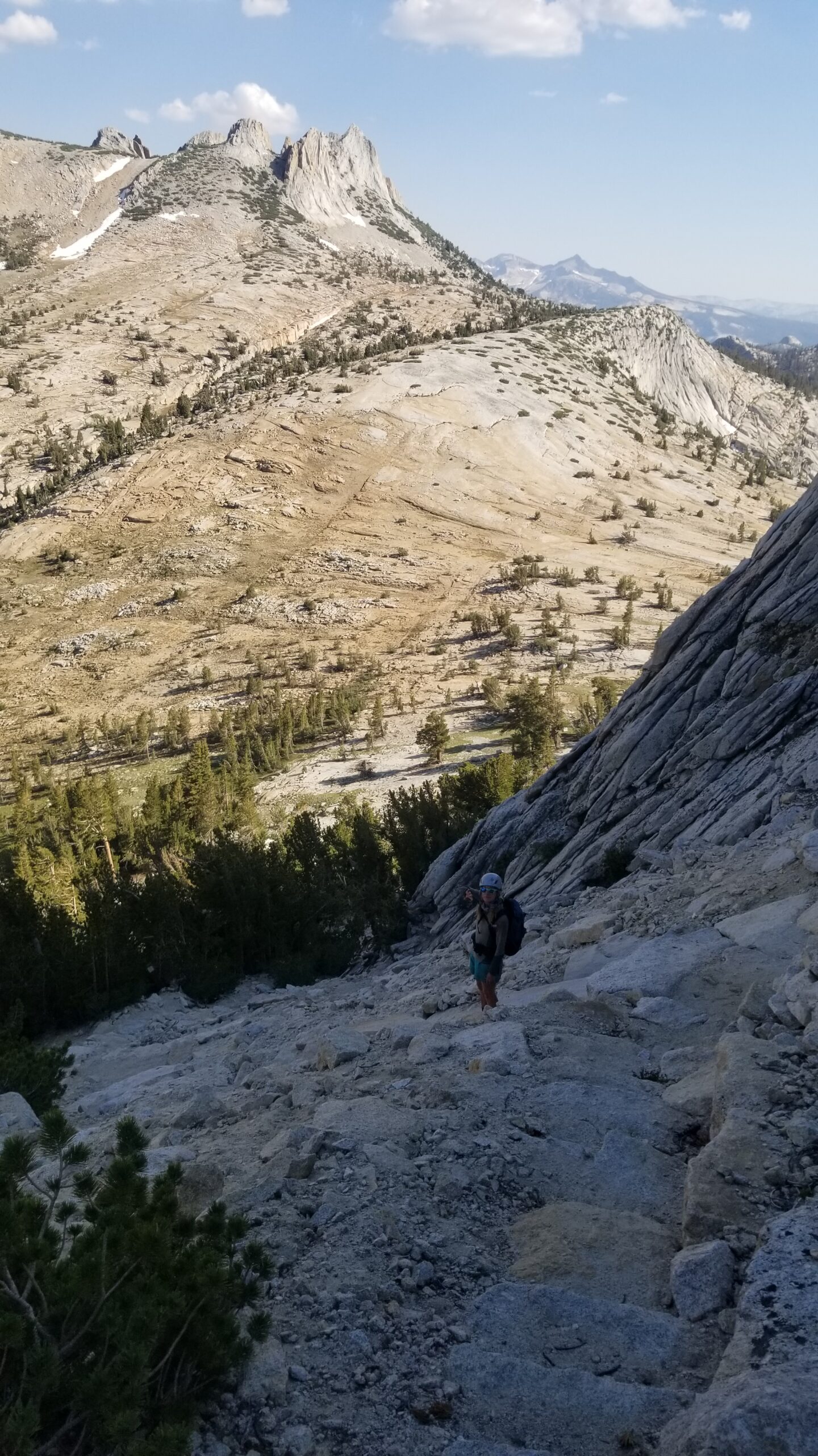
Once on top we took a moment to call Christian, Lis’s partner to tell him we’d made the summit. After some pictures and appreciating the Sierras in the far distance, we packed up and headed down the north face of the mountain. Picking our way down slowly through a few technical scrambles, we quickly found the top of the climbers’ path headed down to the valley below.
Time to descend, enjoying a beautiful backdropAfter a short scramble we find the decent trailThanks for the good times Cathedral Peak!
We soon found ourselves back in the valley below, peering back to the peak from which we had just descended. Man, what a good way to put the cherry on top of an incredible journey across the Sierras! Nothing left to do but grab some food at the Whoa Nelly Deli and head home!
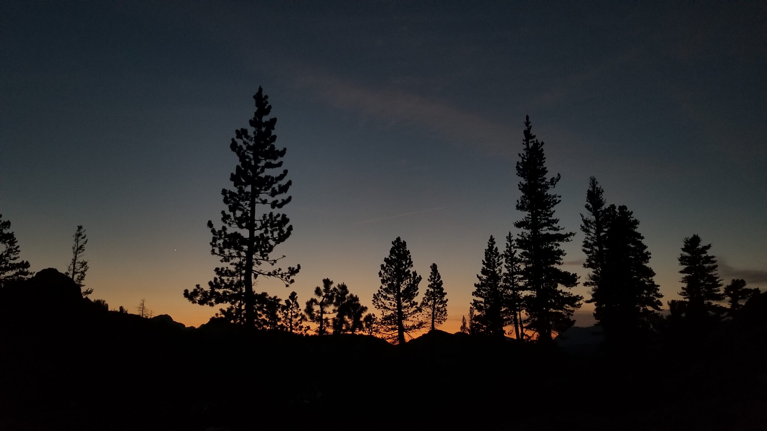
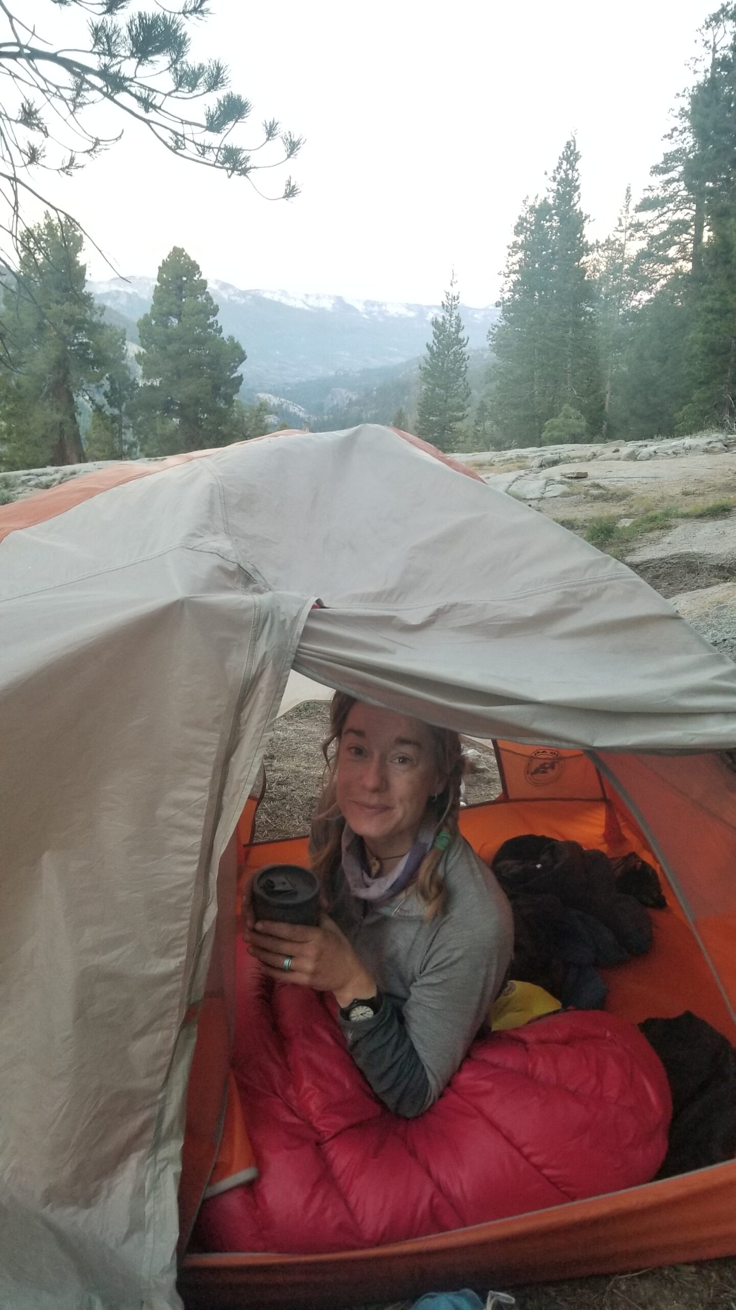
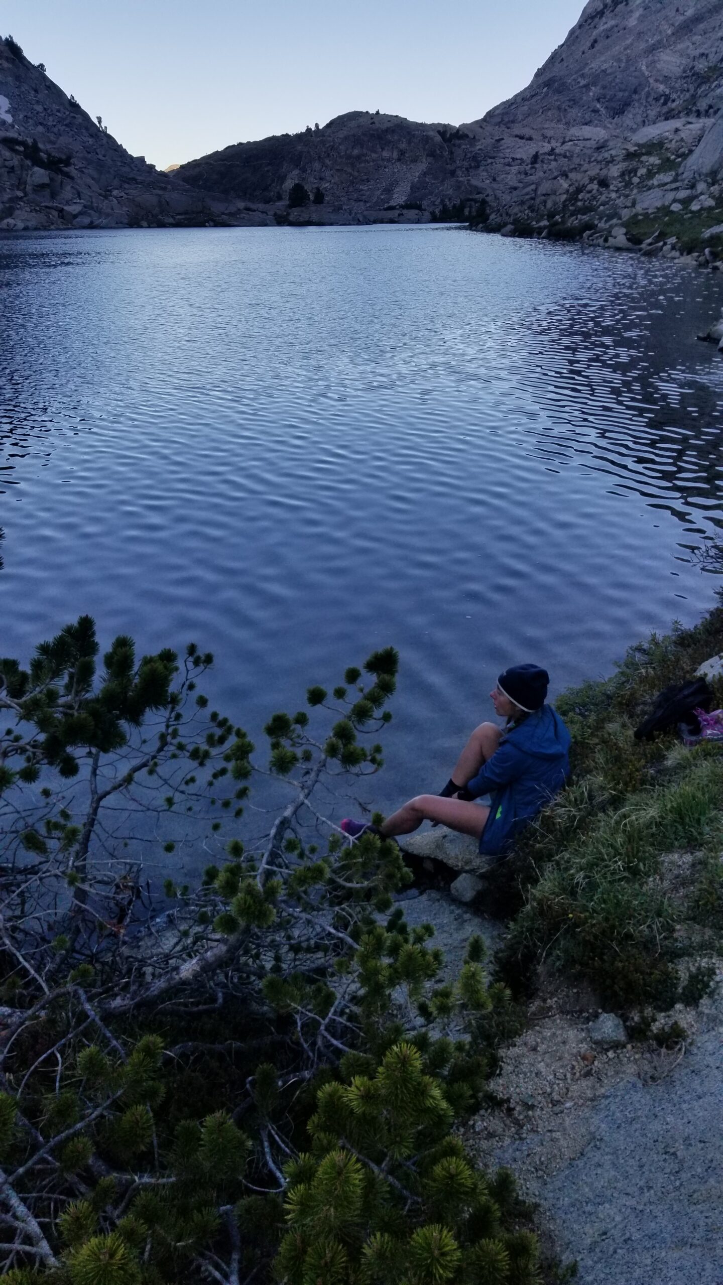
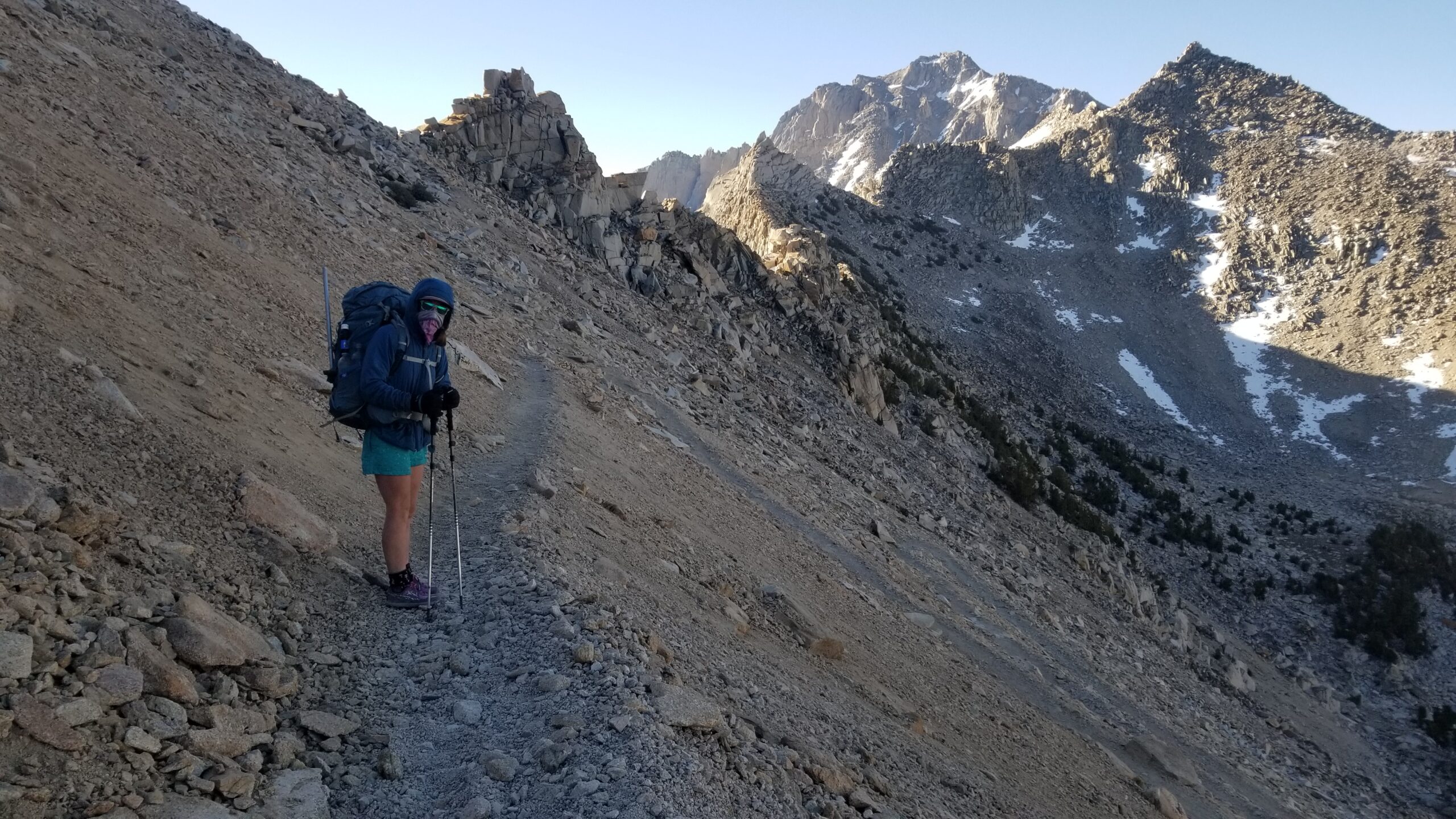
We woke up in the middle of the night to the sound of wind beating on the side of our tent like a landlord looking for overdue rent. The wind soon turned to sparse rain, and we assumed a cold front was passing through. The wind took its time settling down and we finally got back to sleep. The alarm went off, and it went to snooze. Needless to say, we had a late start. I think we just weren’t in any hurry to get back to crowds of people, loud cars on the road, and the hum of the daily news.
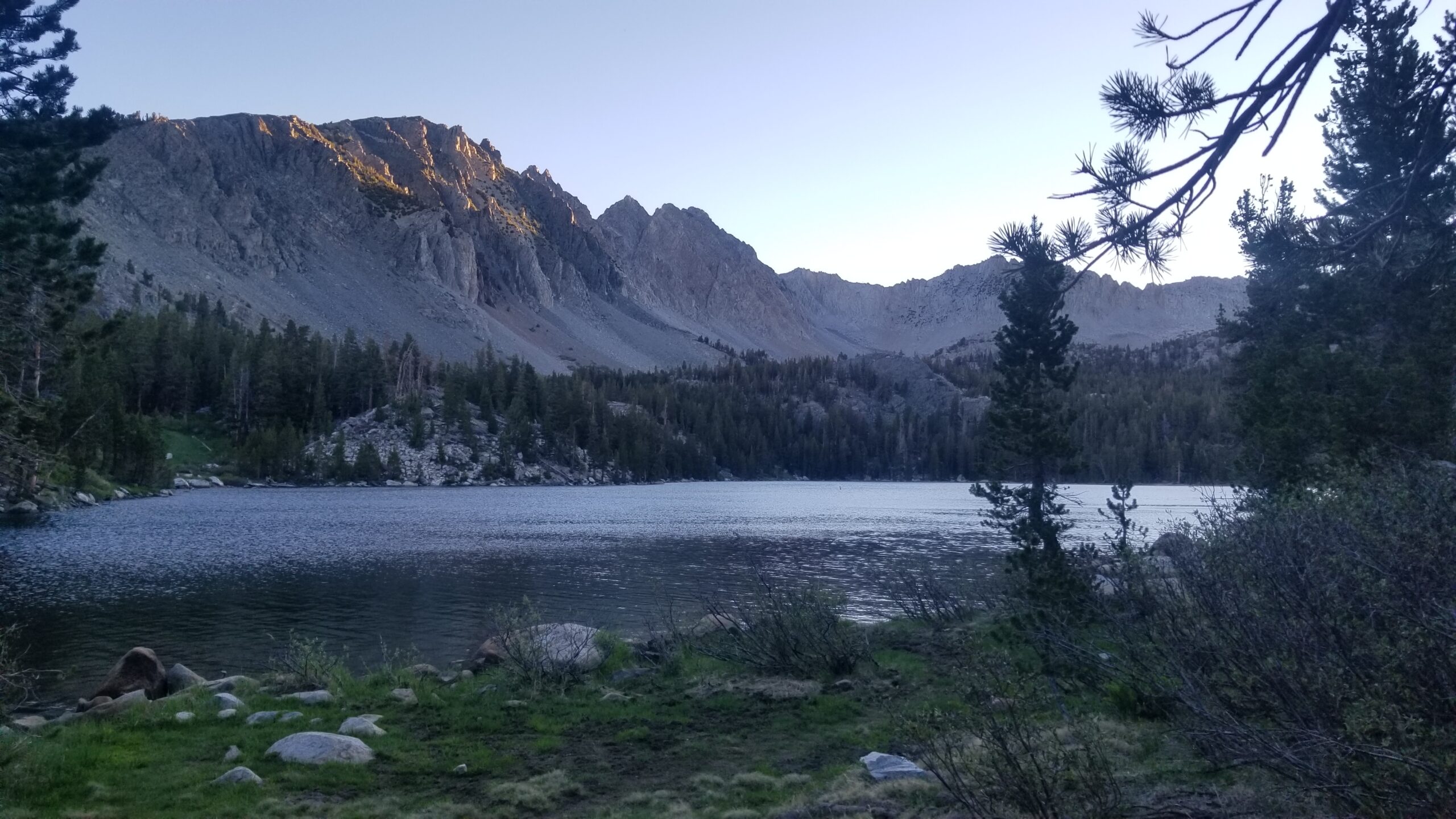
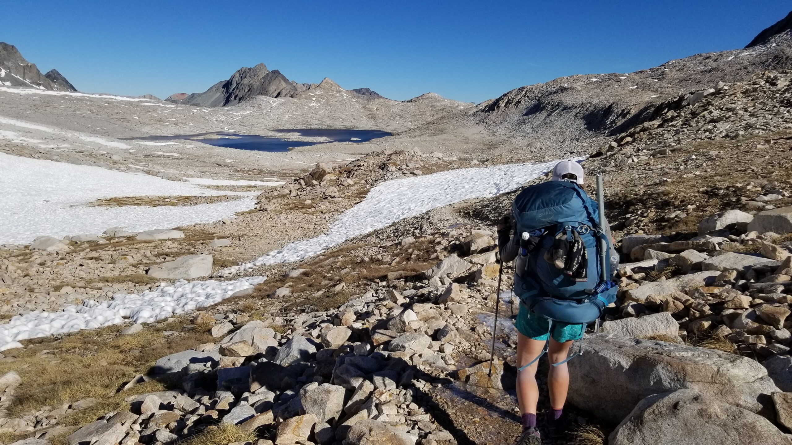
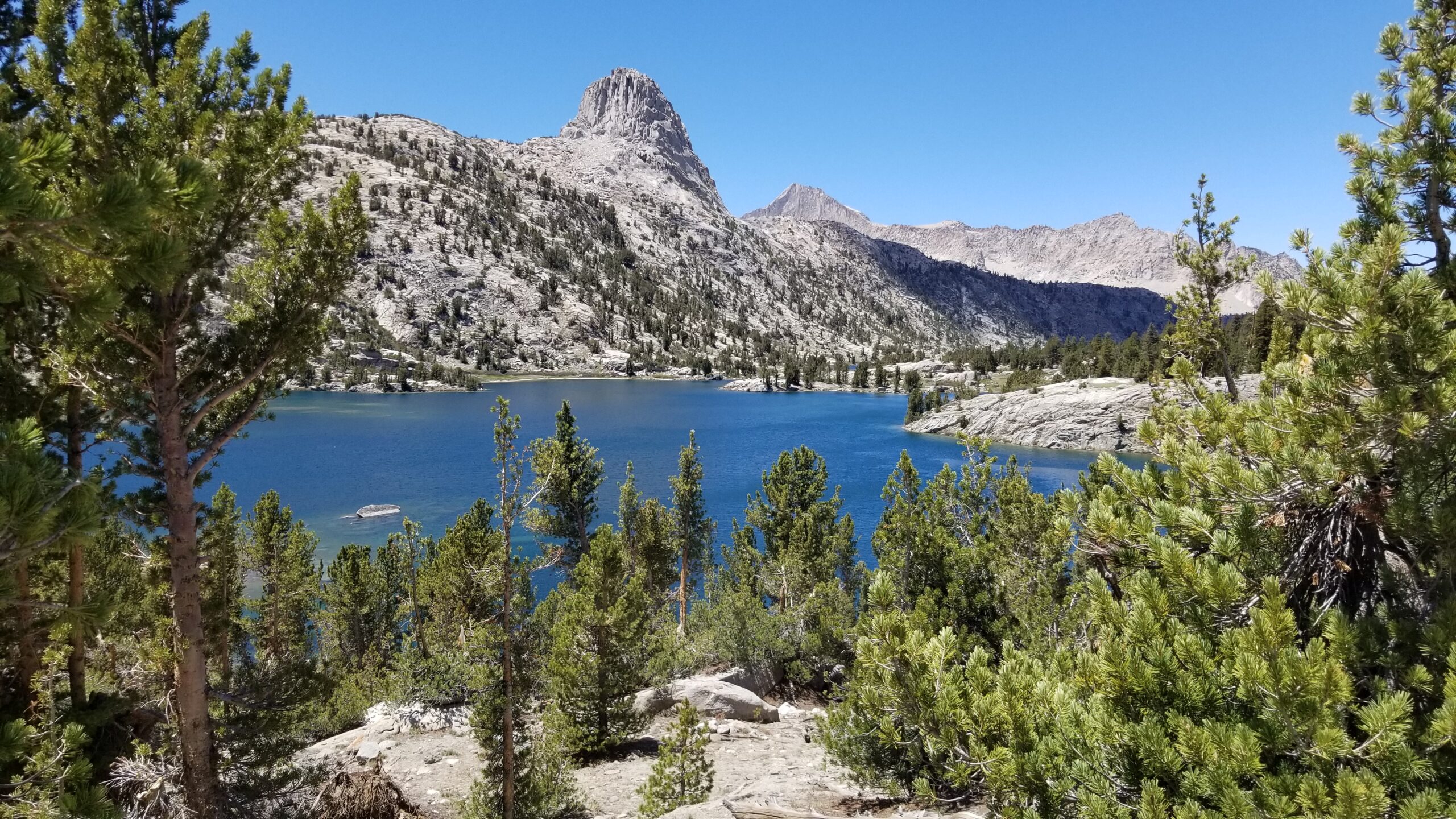
An old glacier valley still covered in late summer snowTaking in the last few breaths of the high country
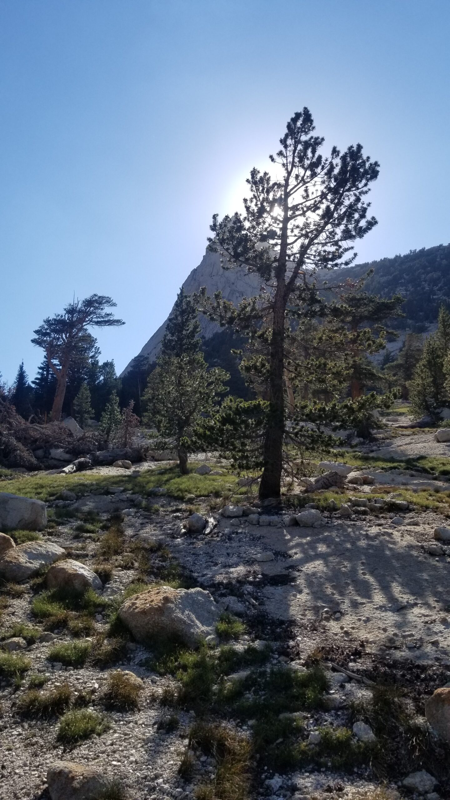
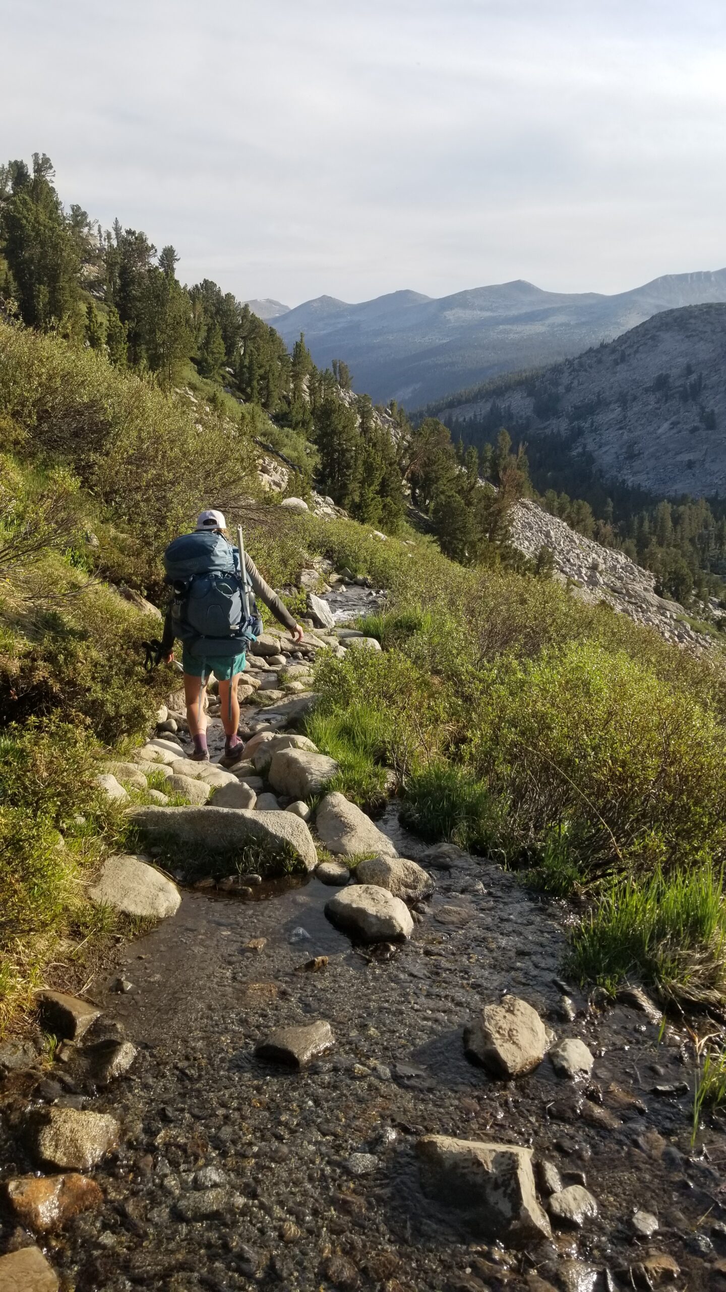
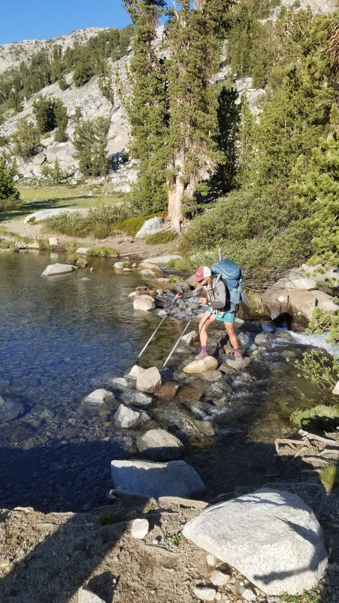
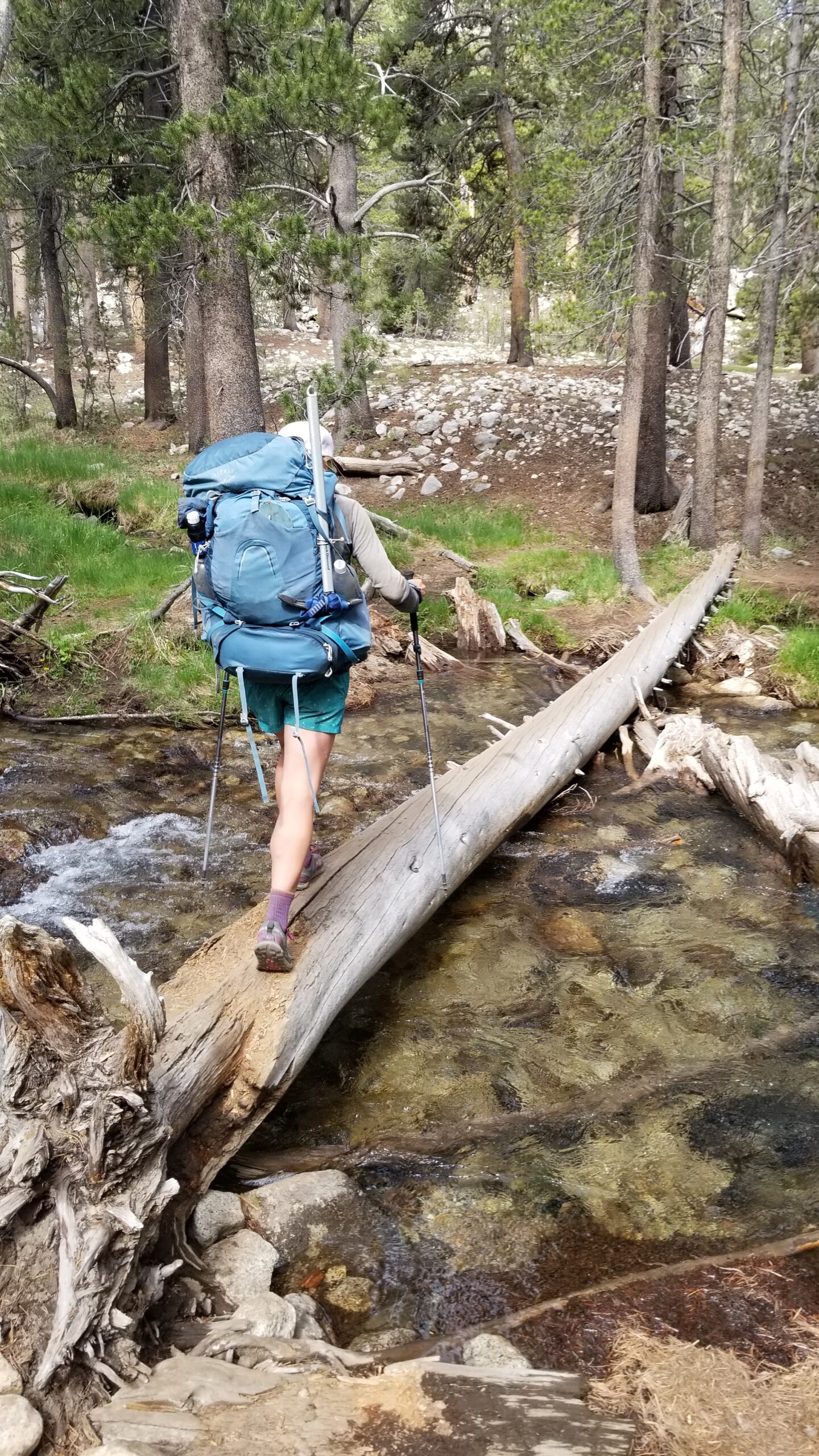
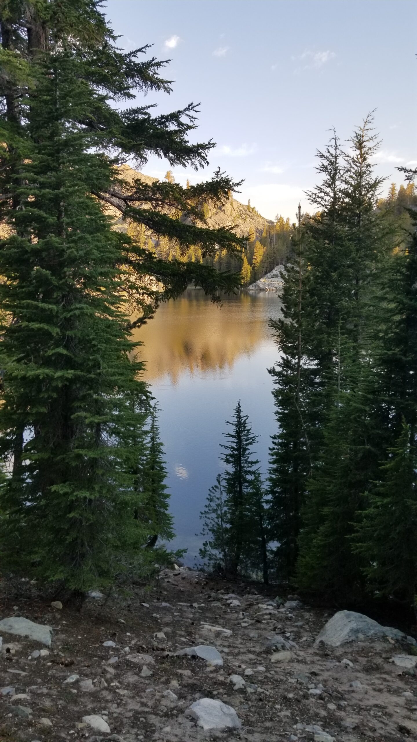
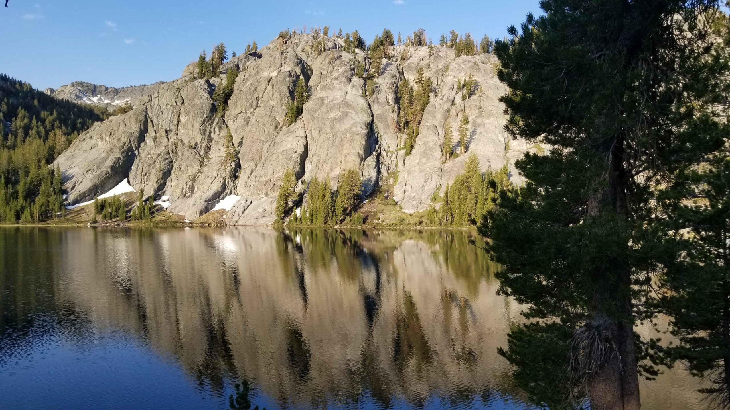
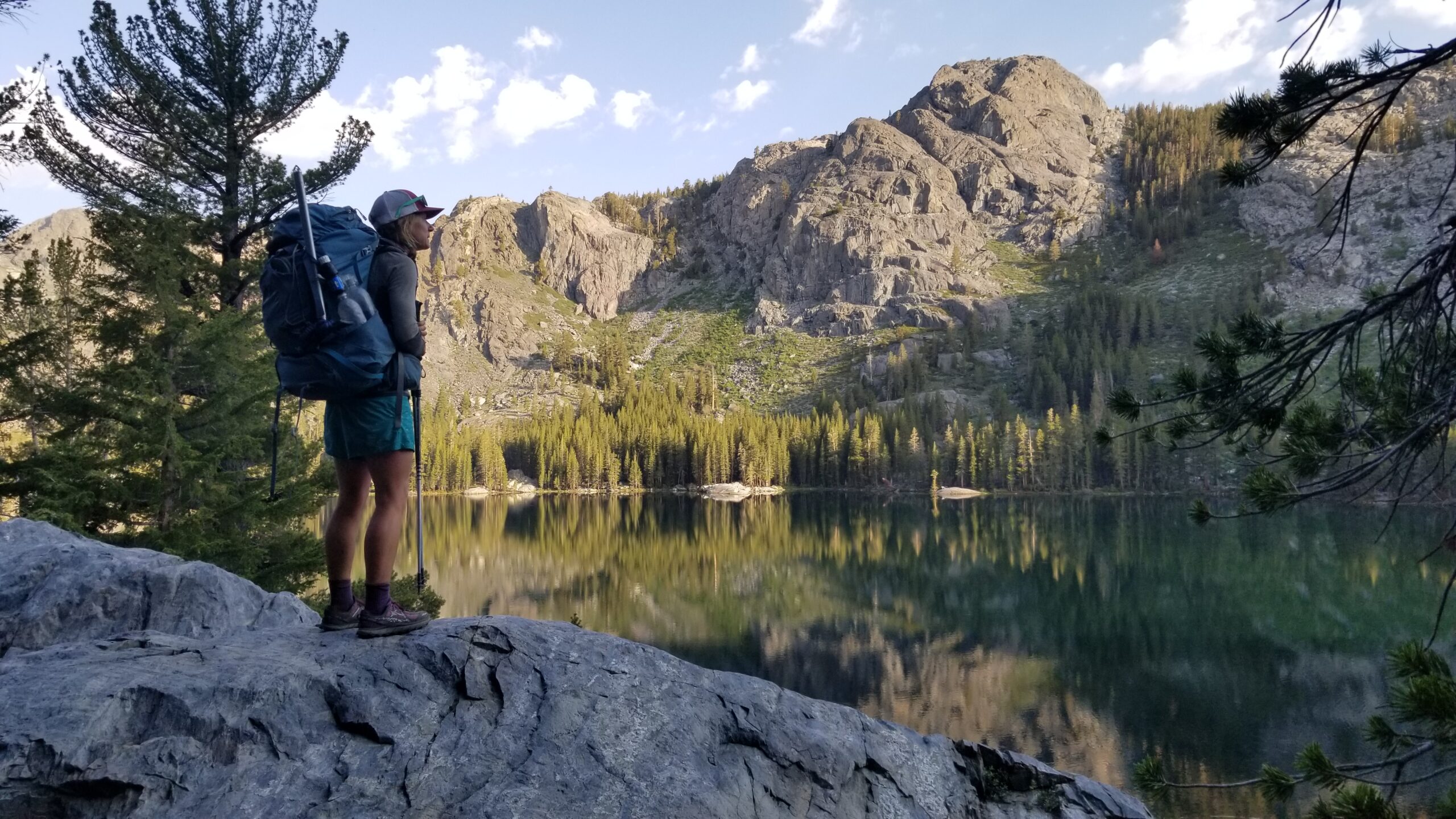
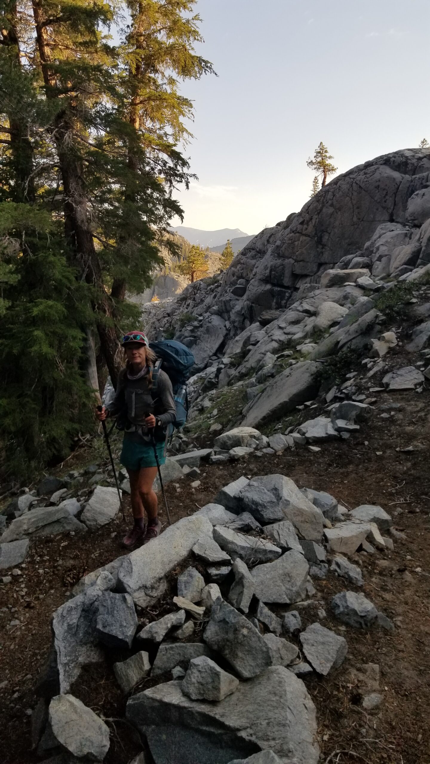
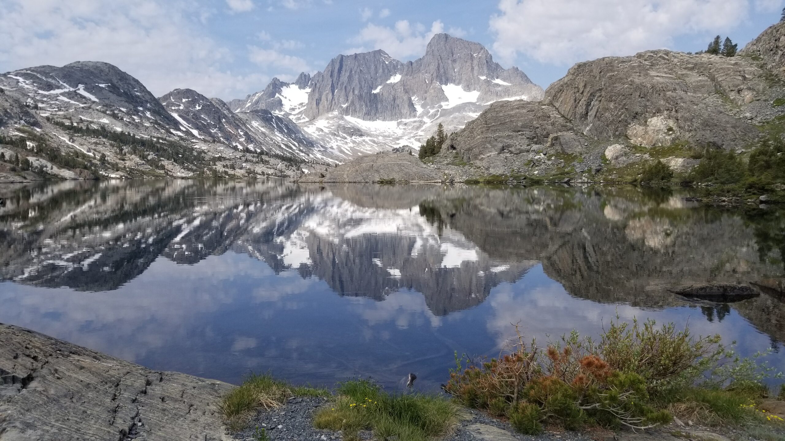
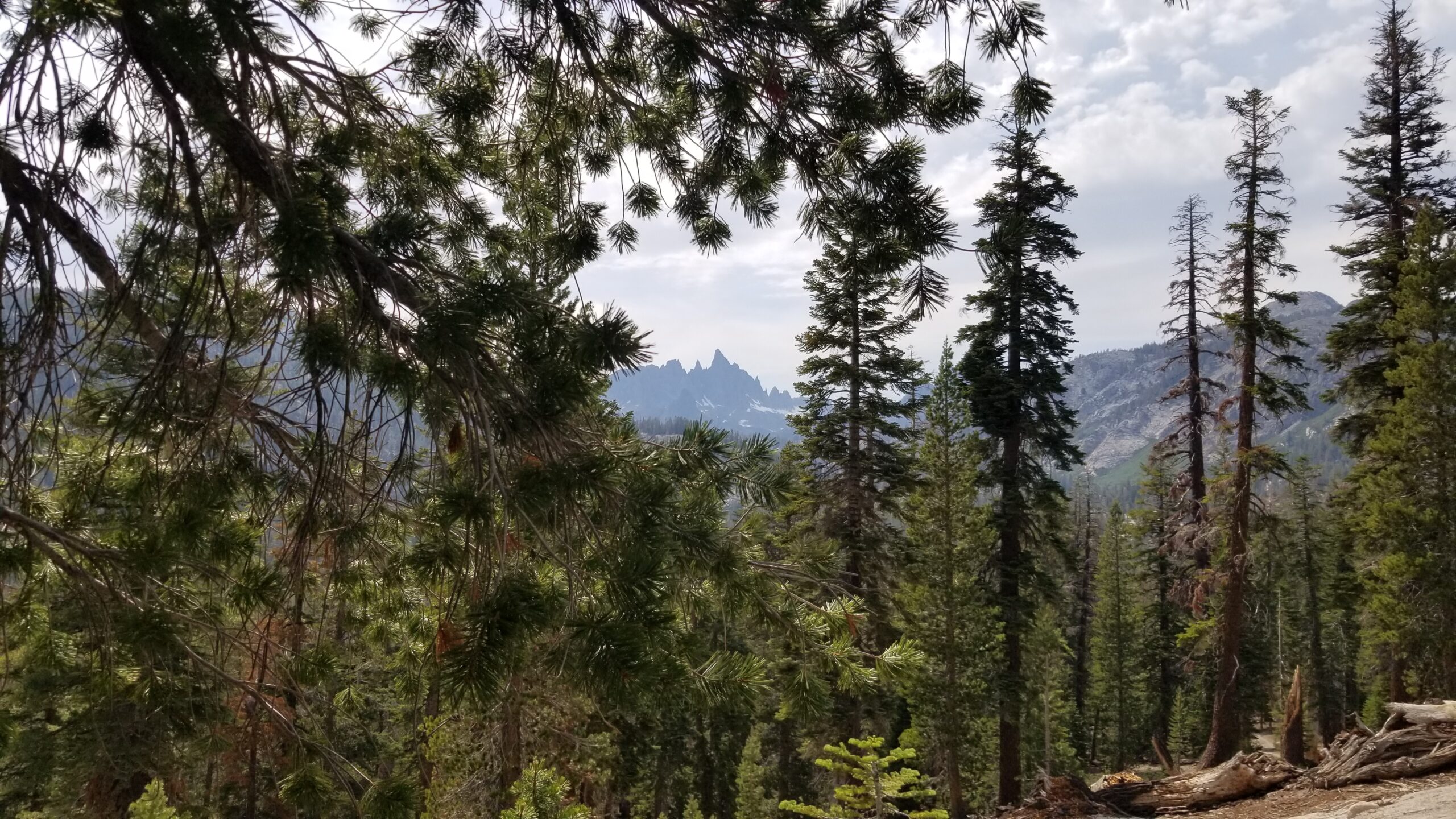
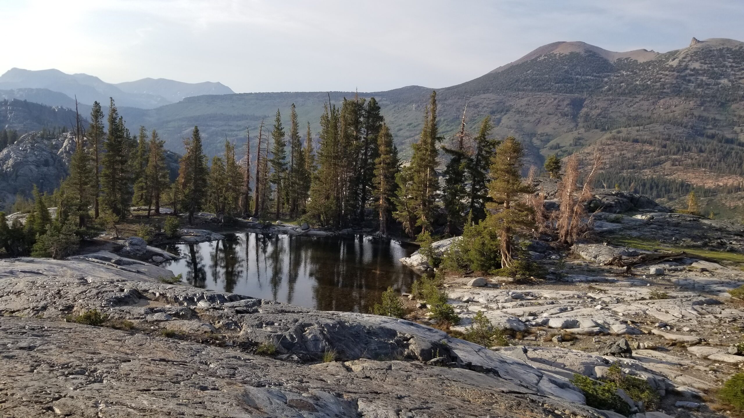
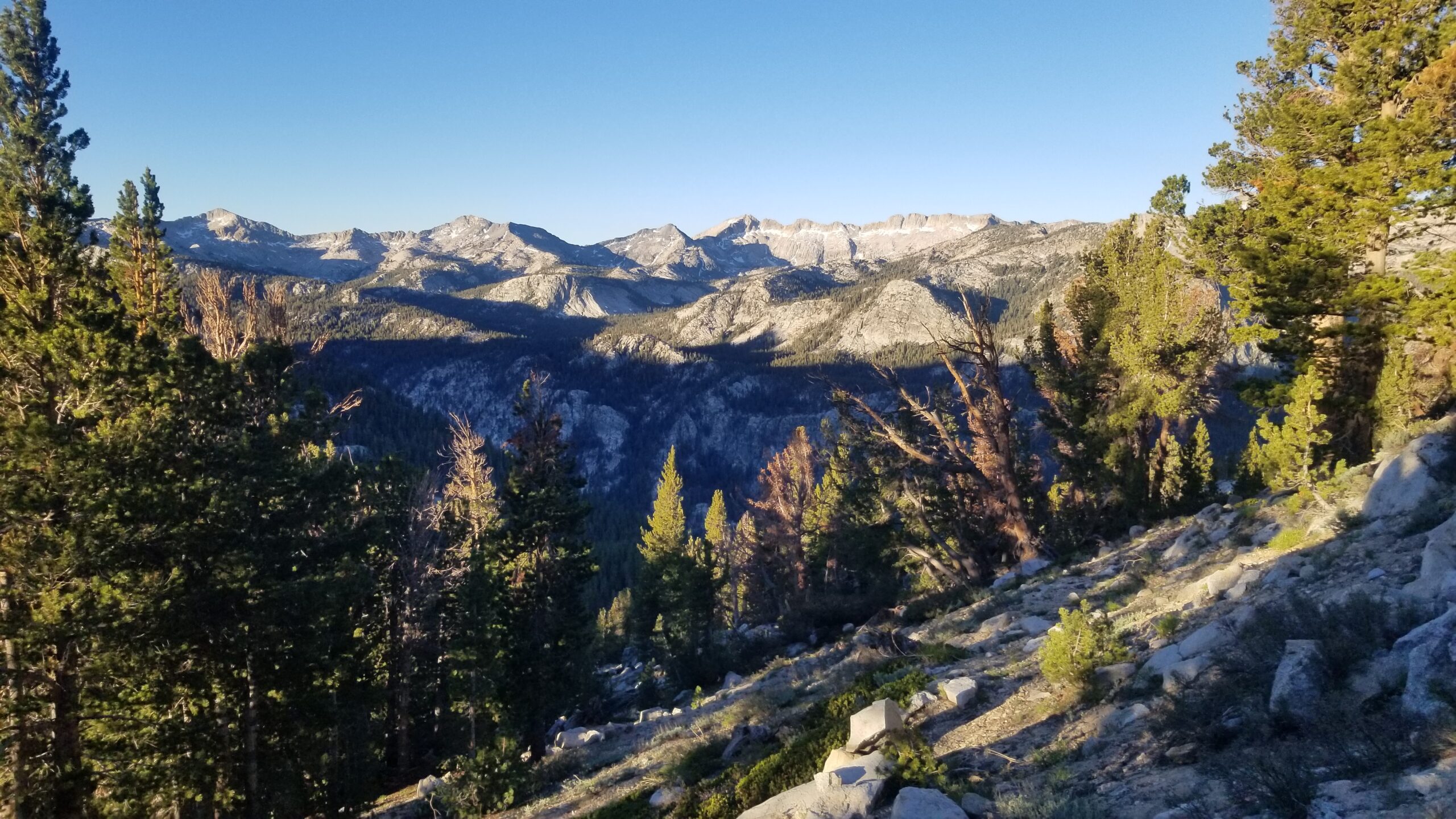
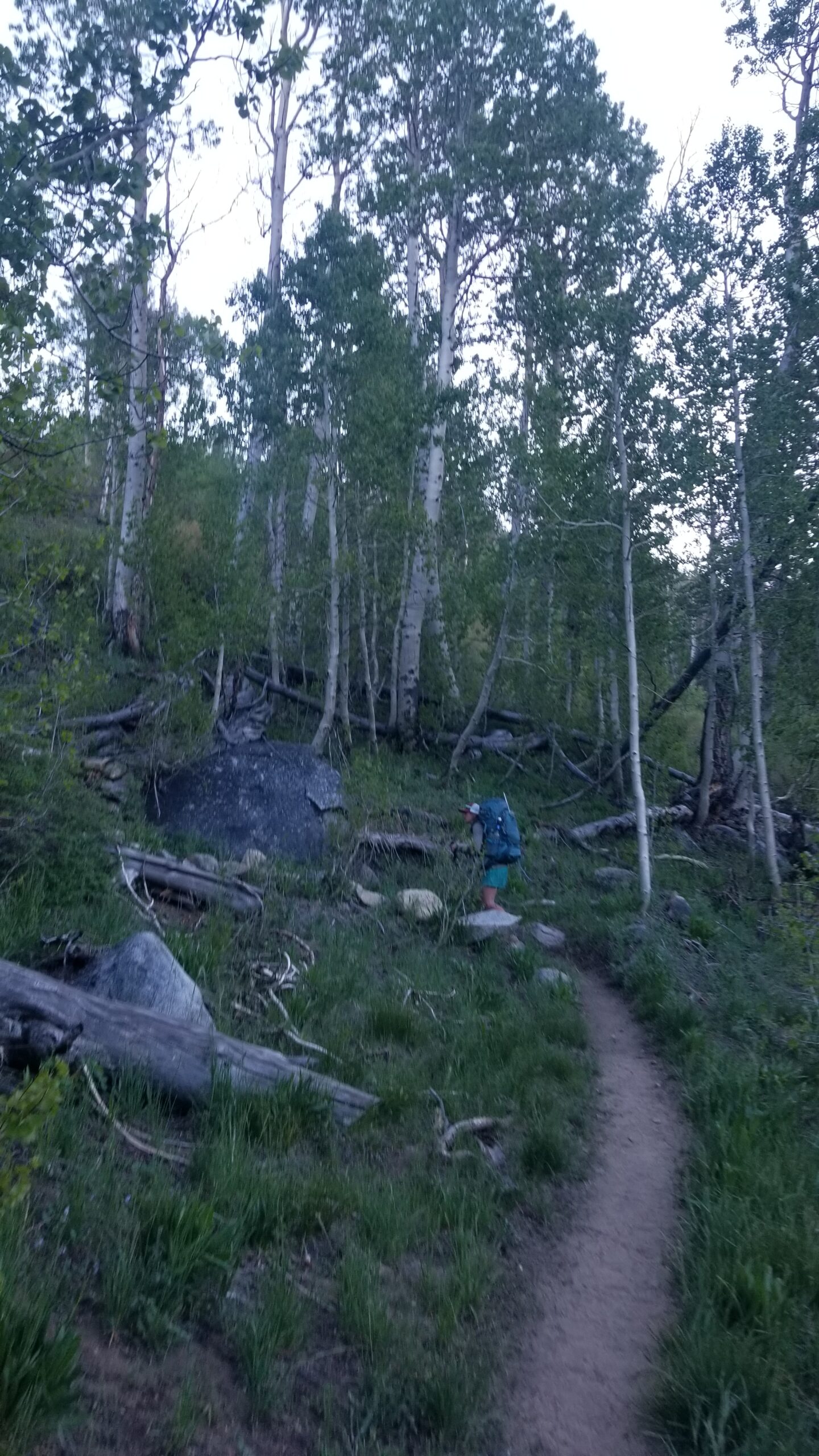
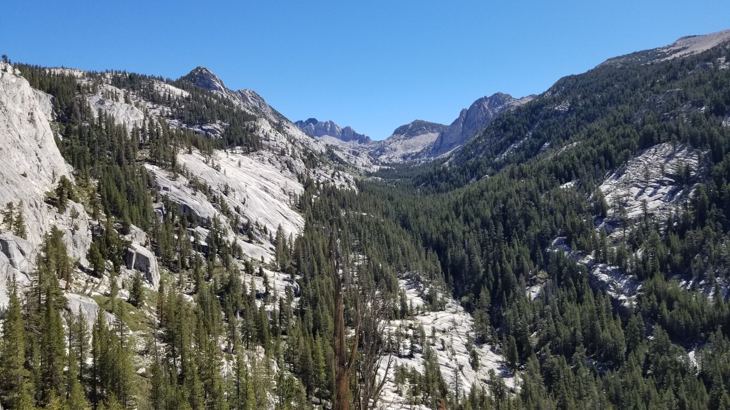
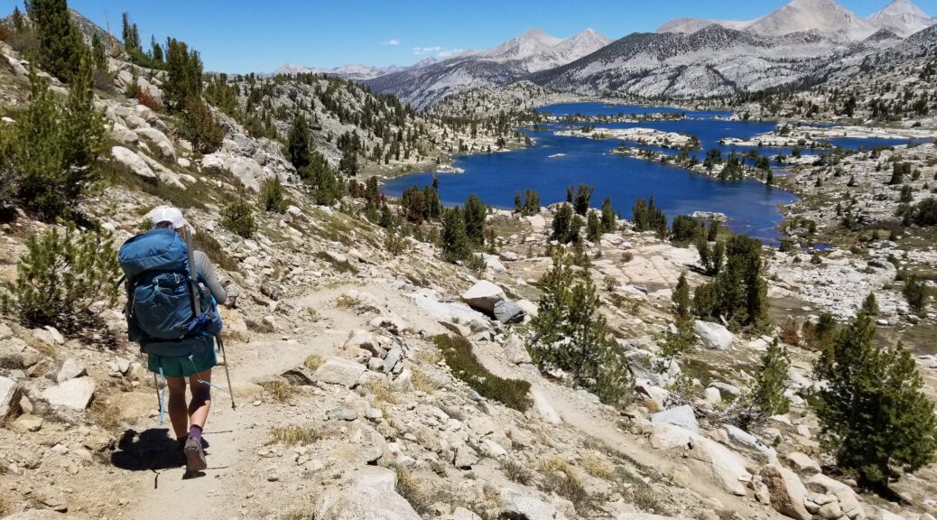
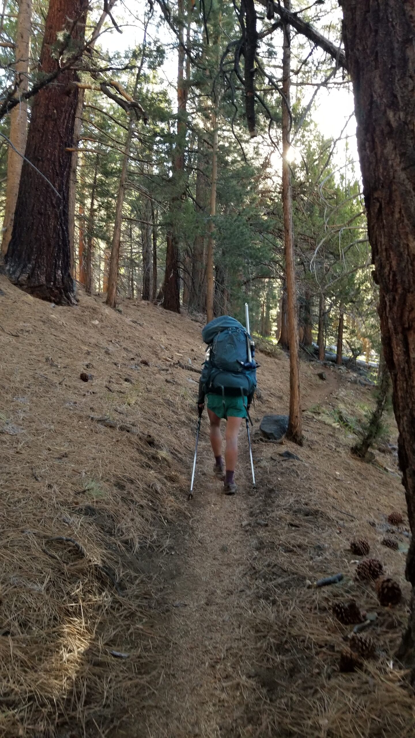
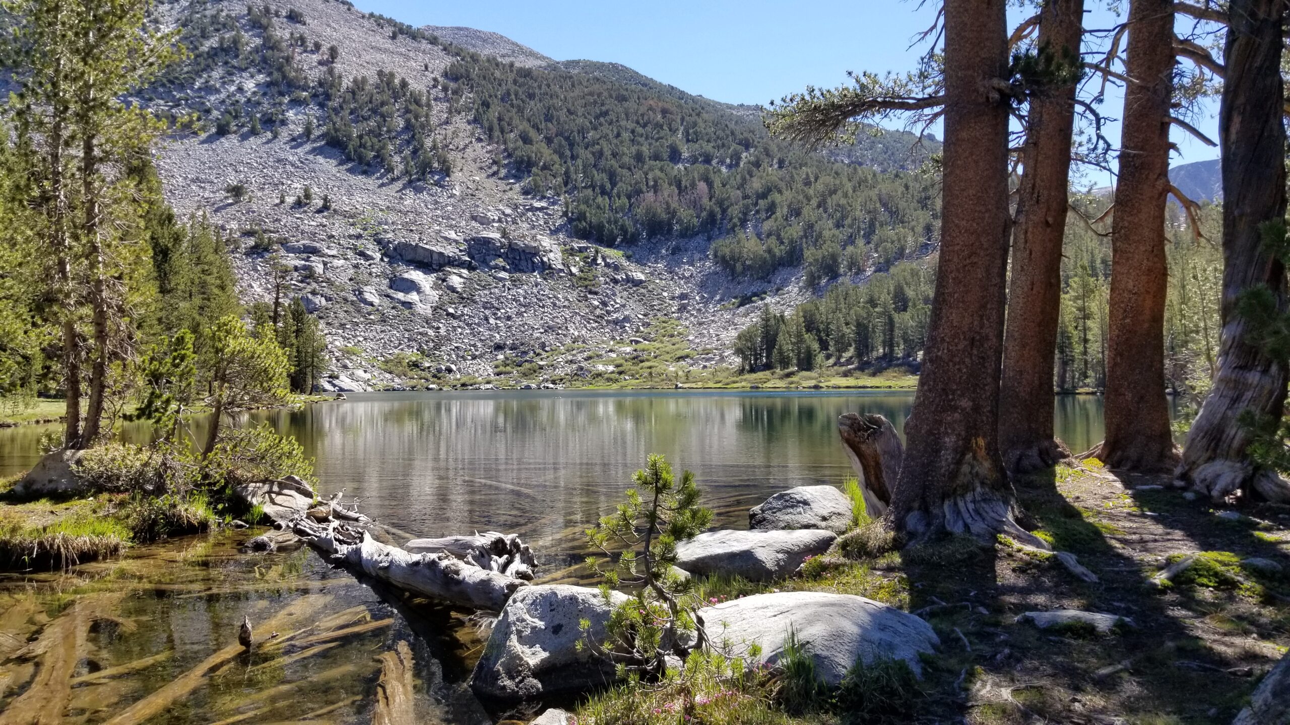
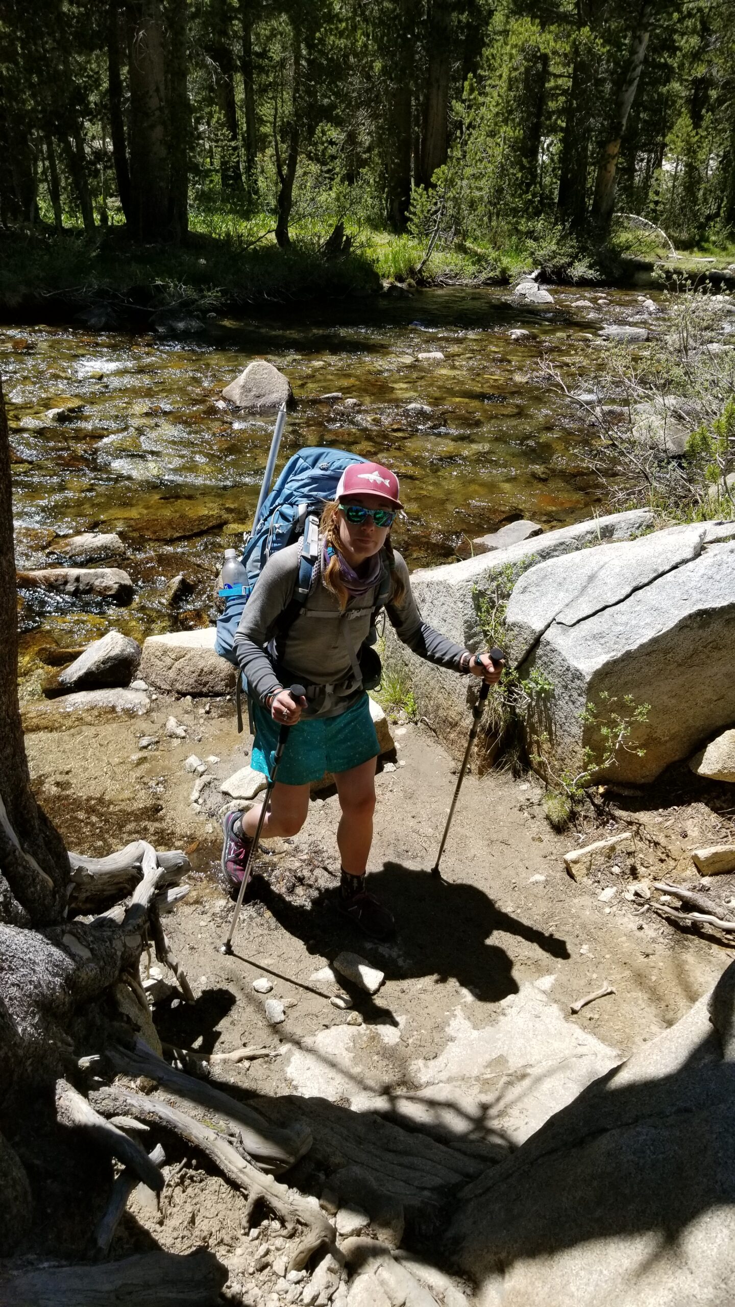
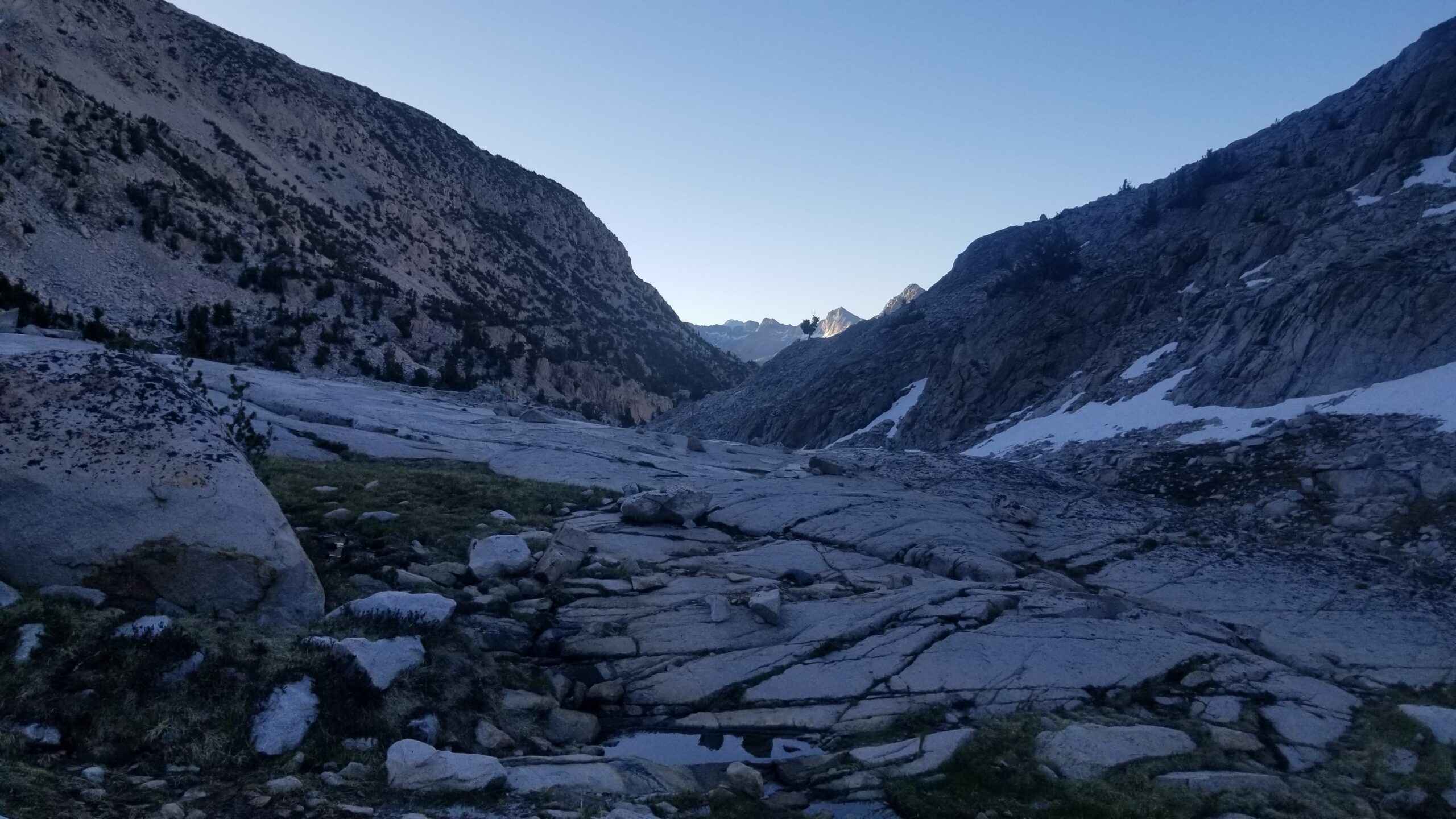
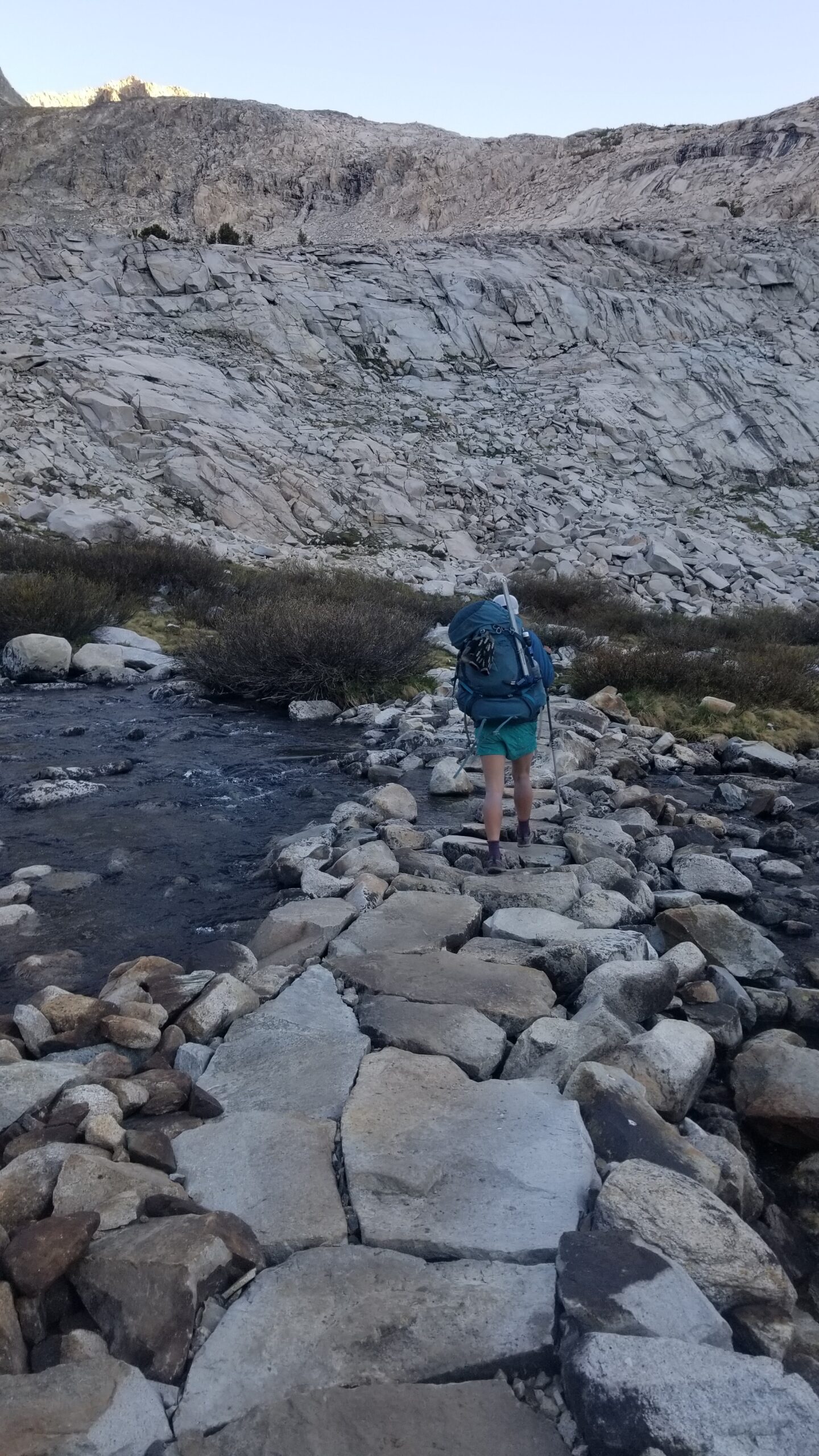
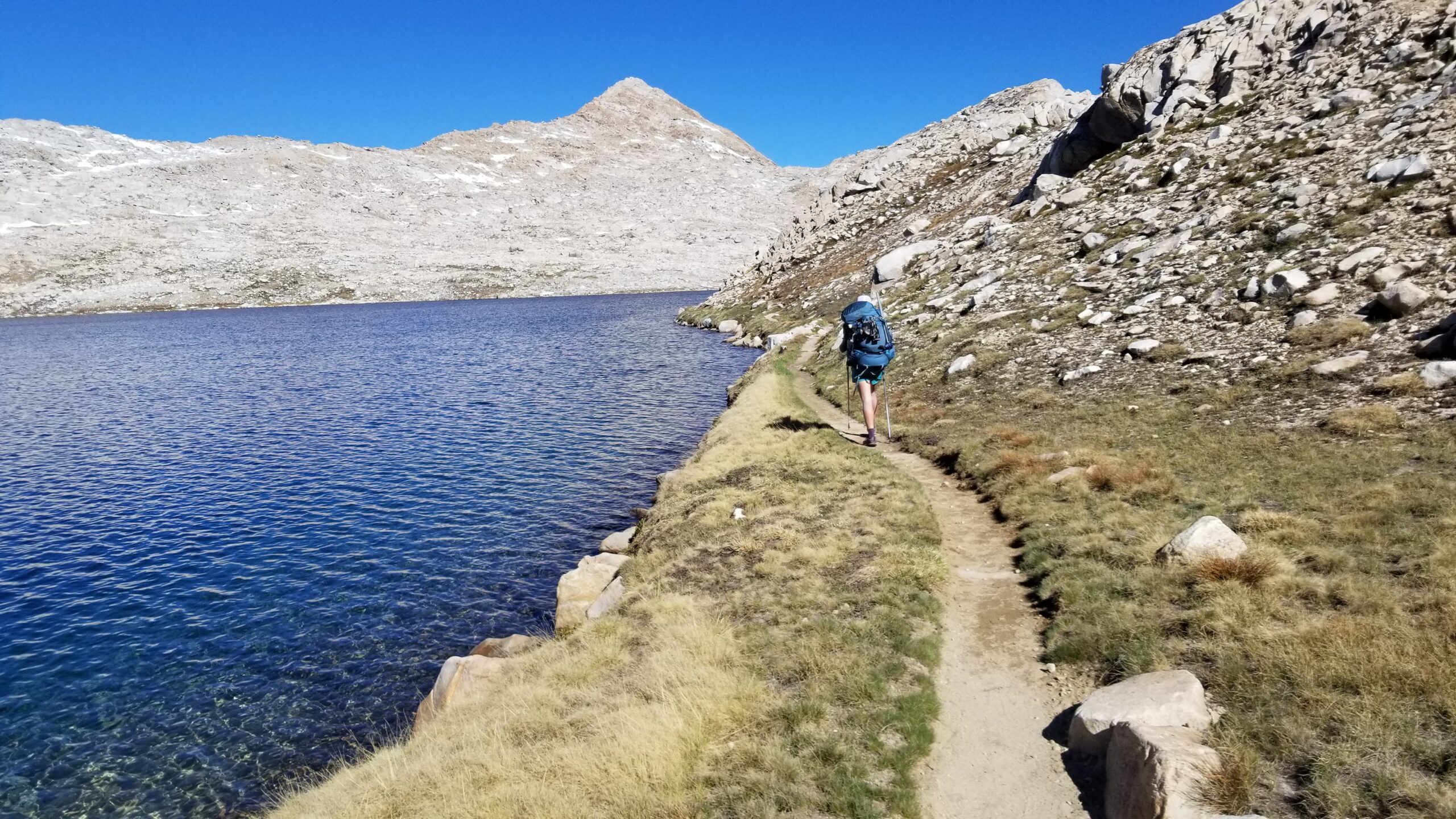
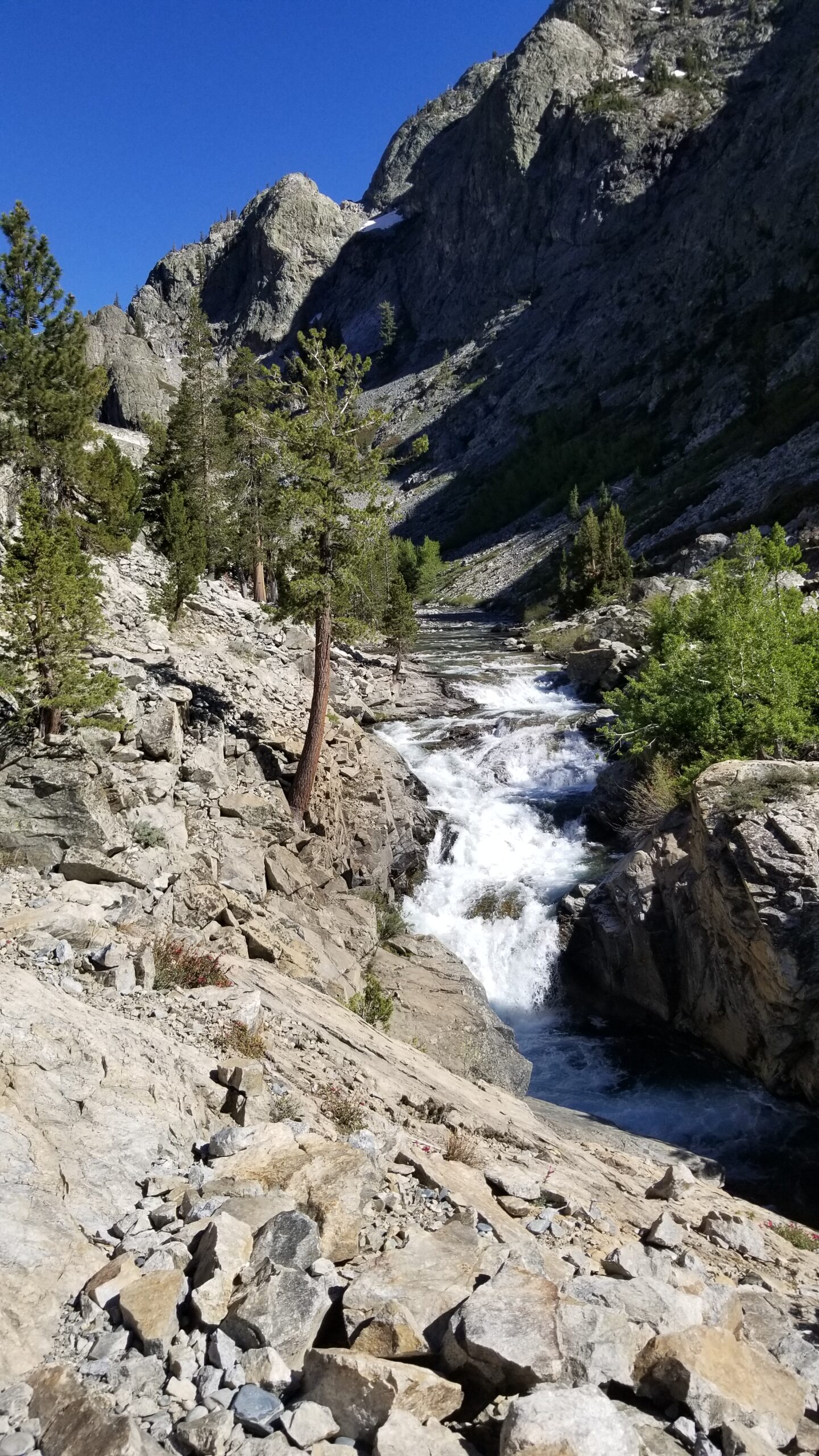
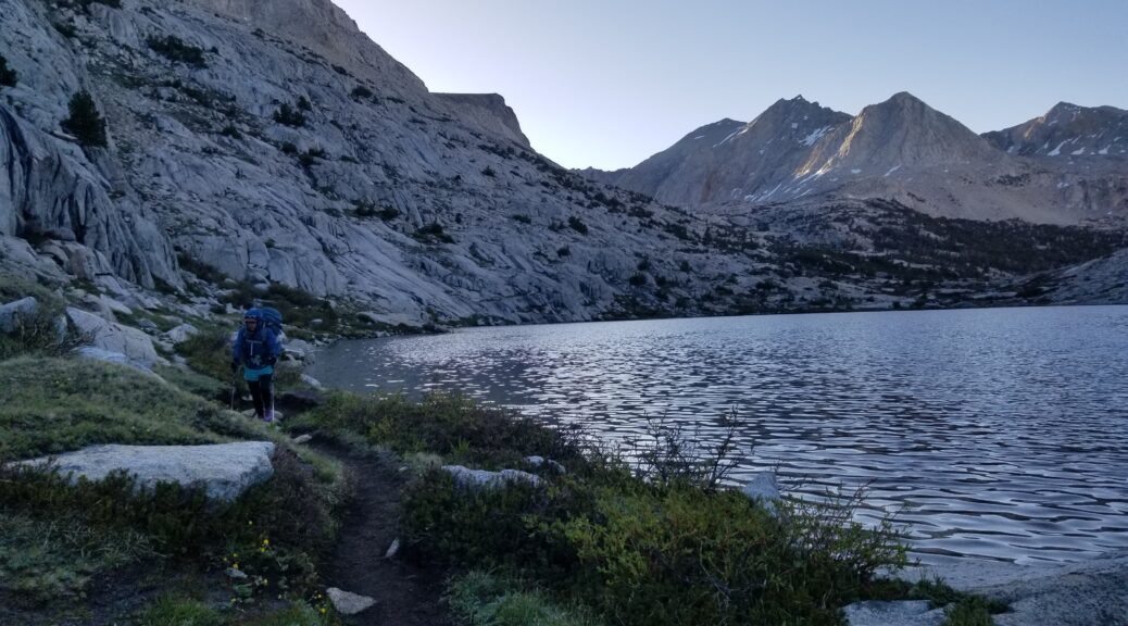
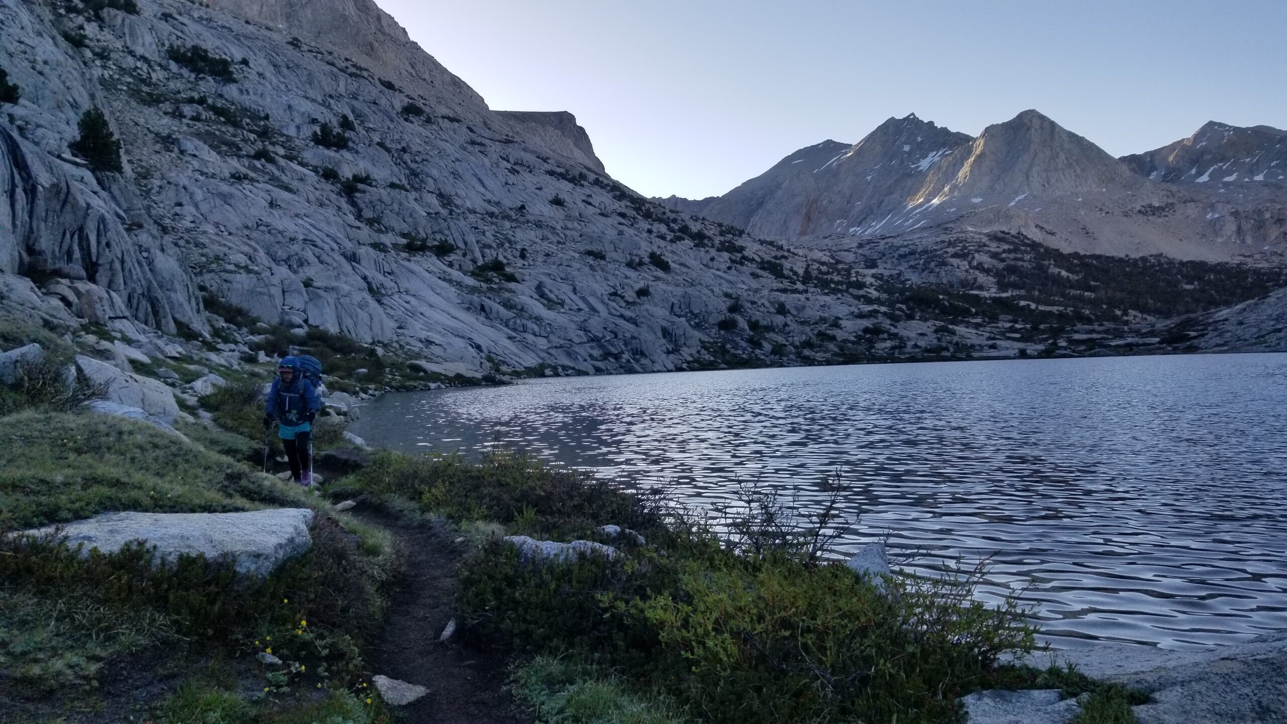
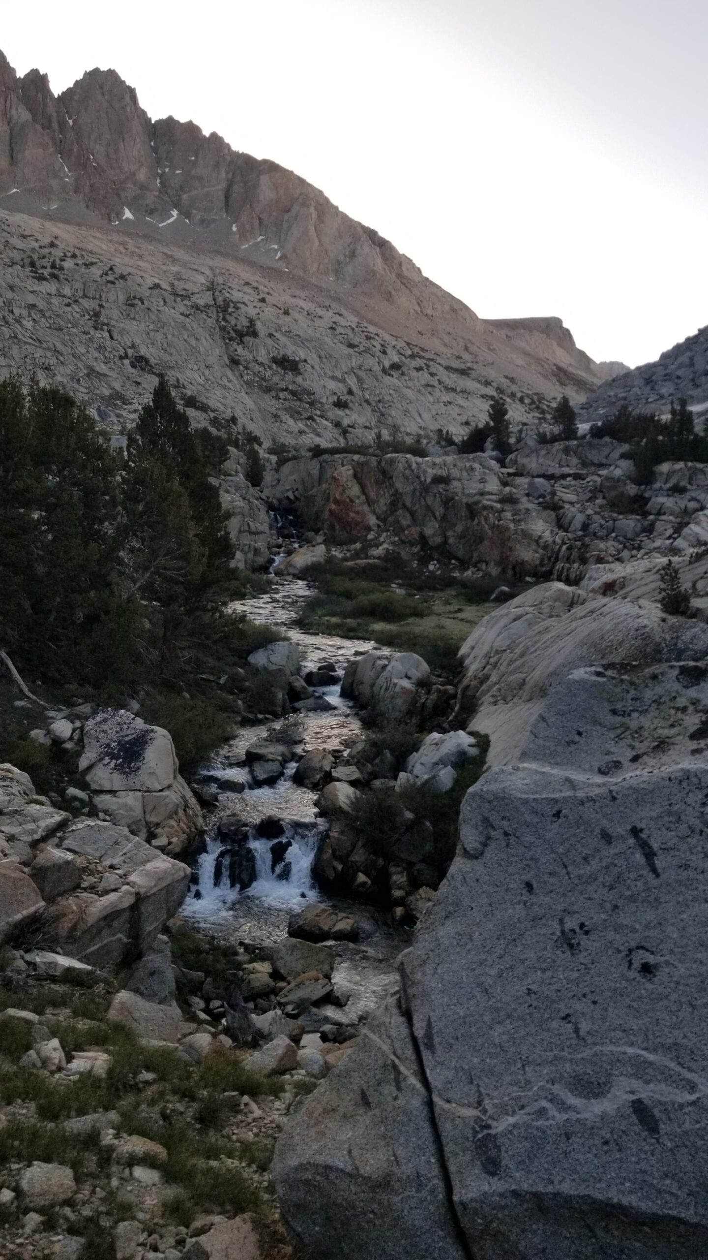
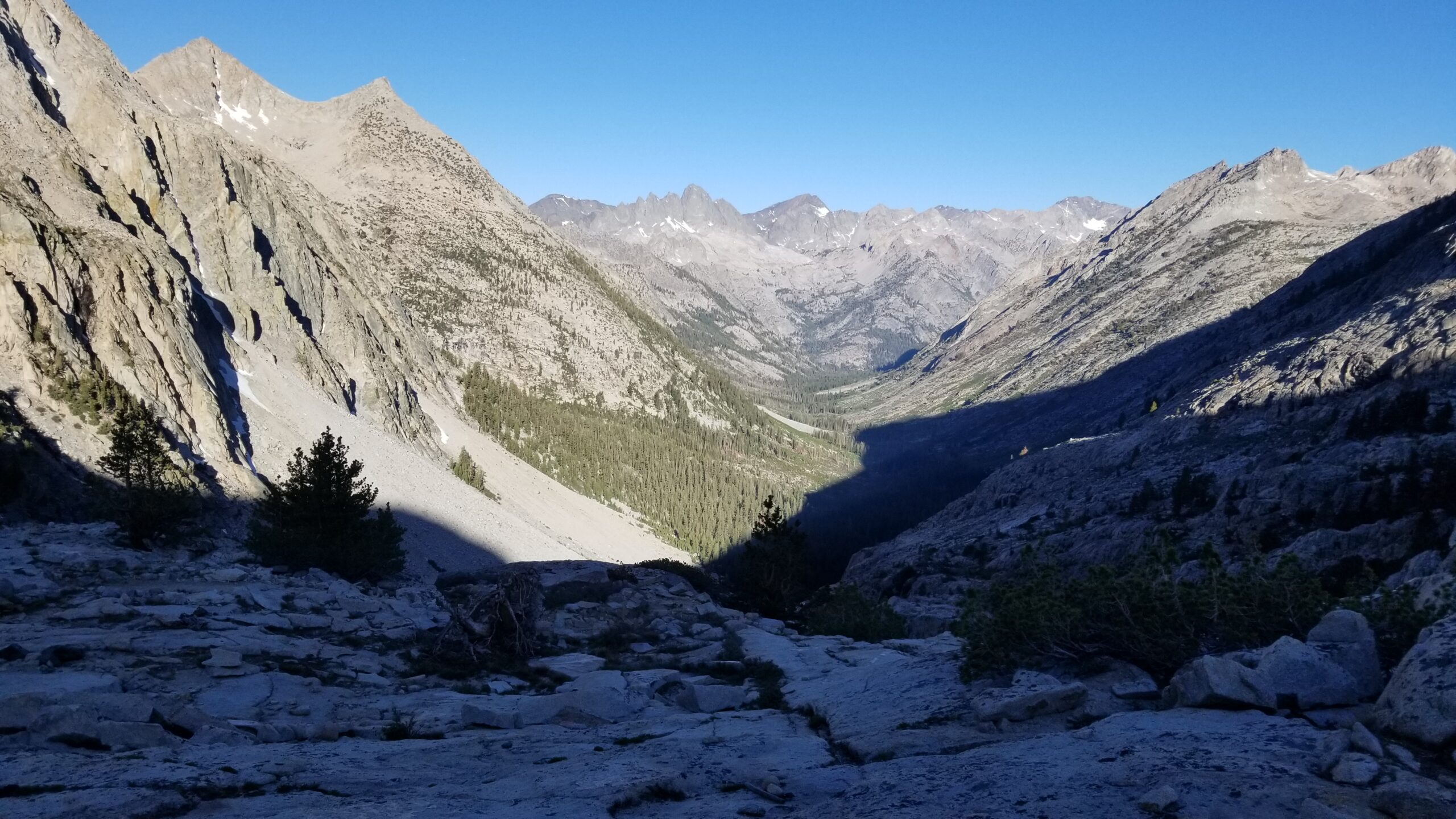
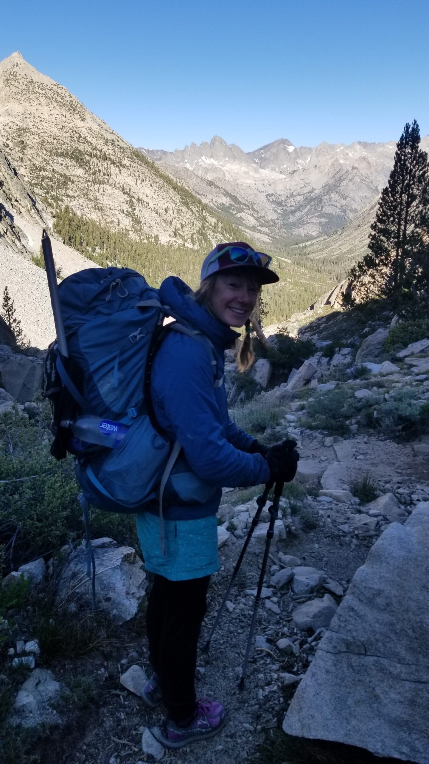
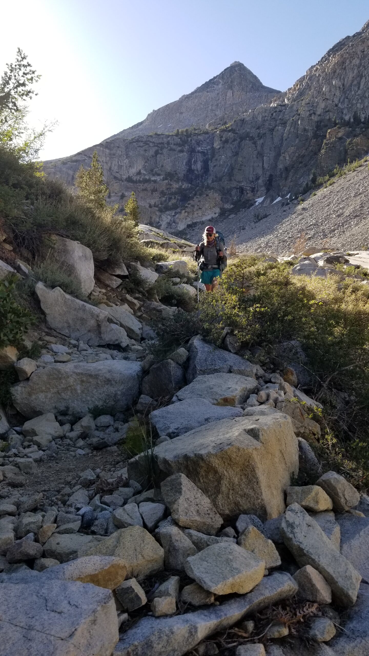
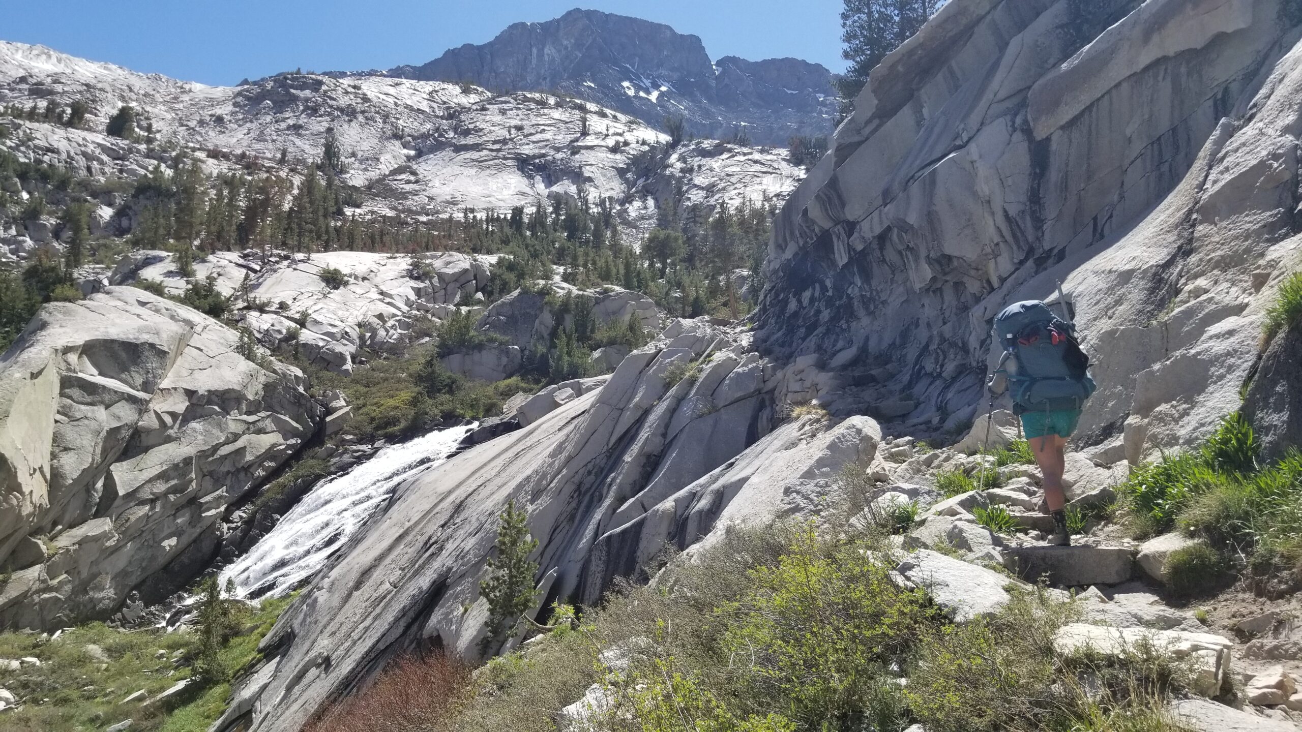
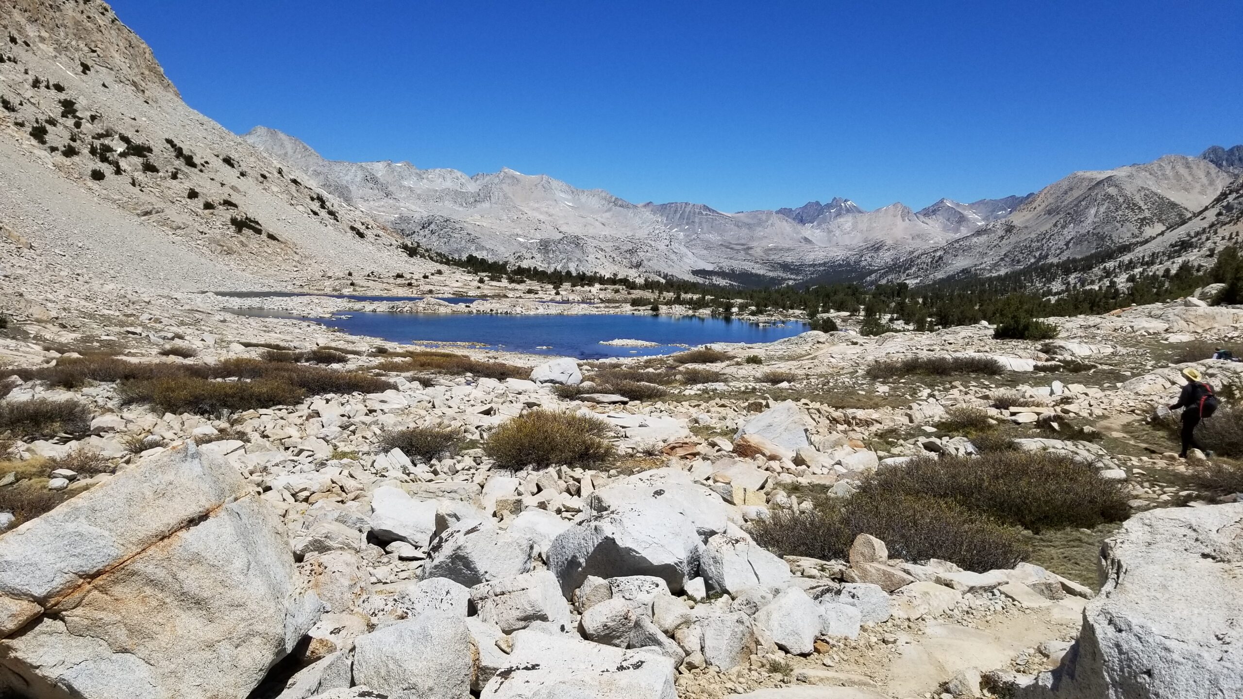
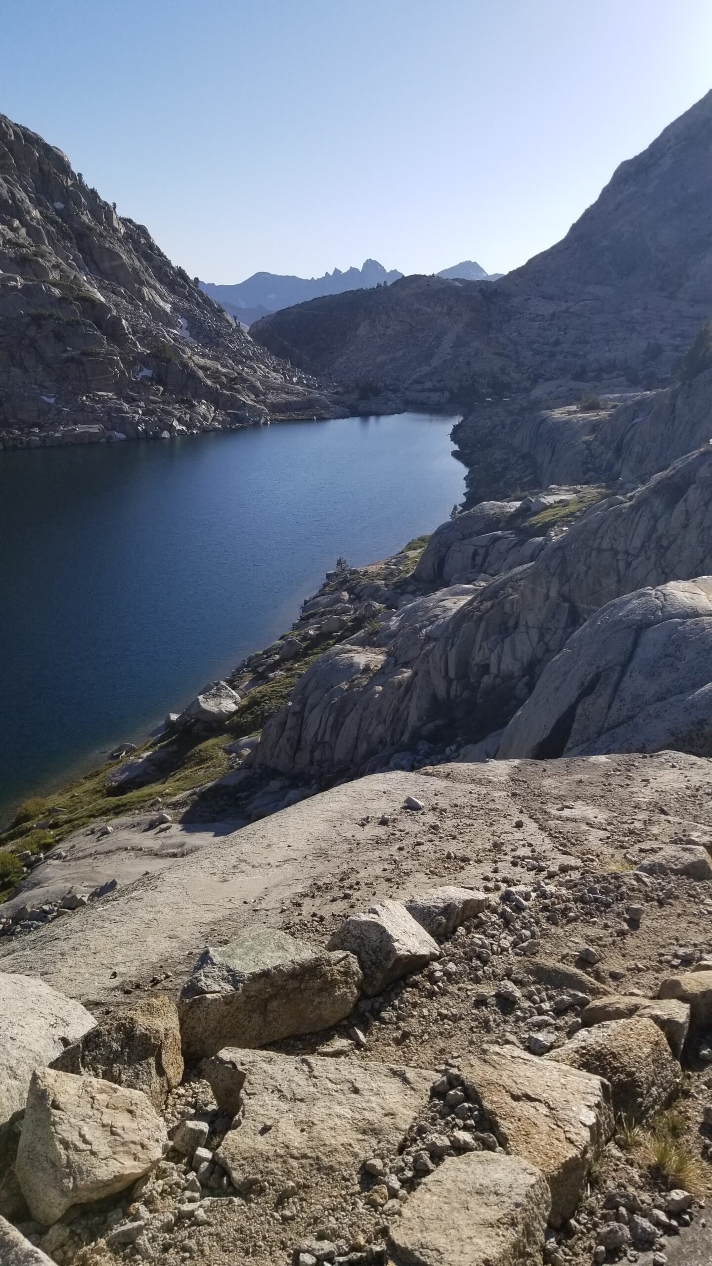
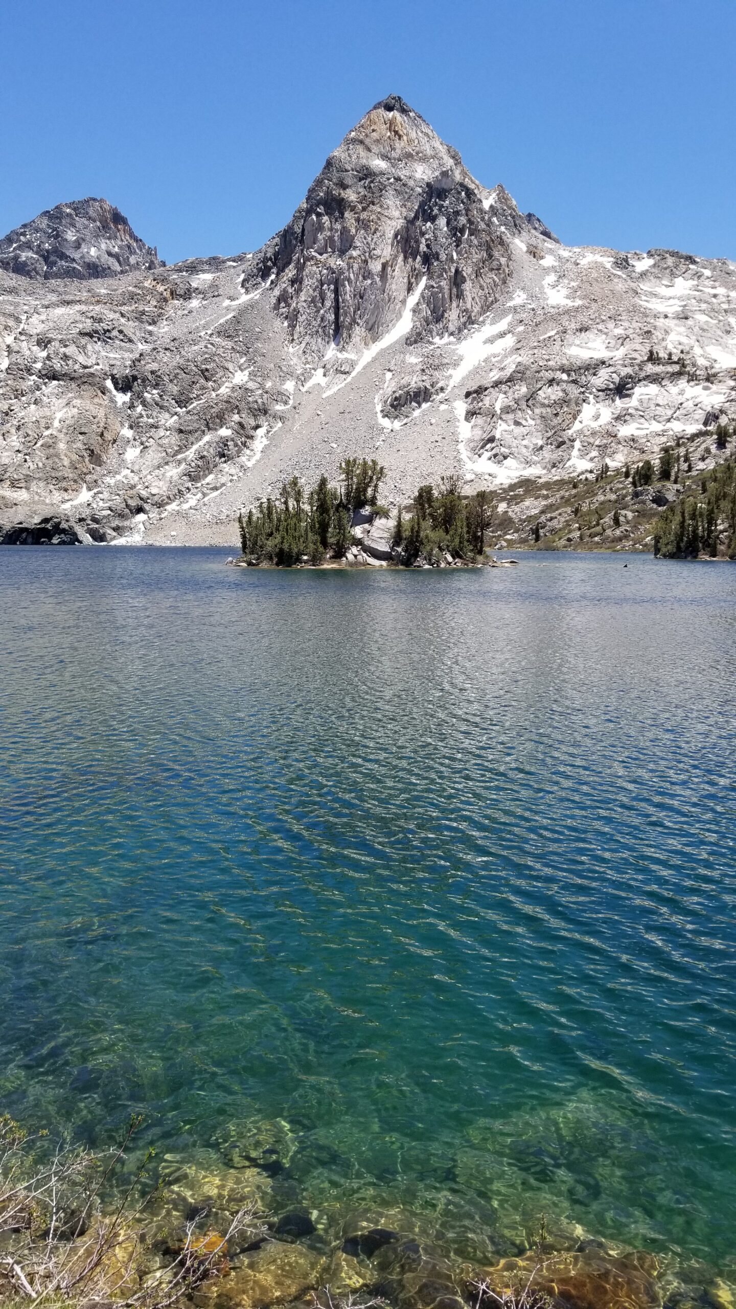
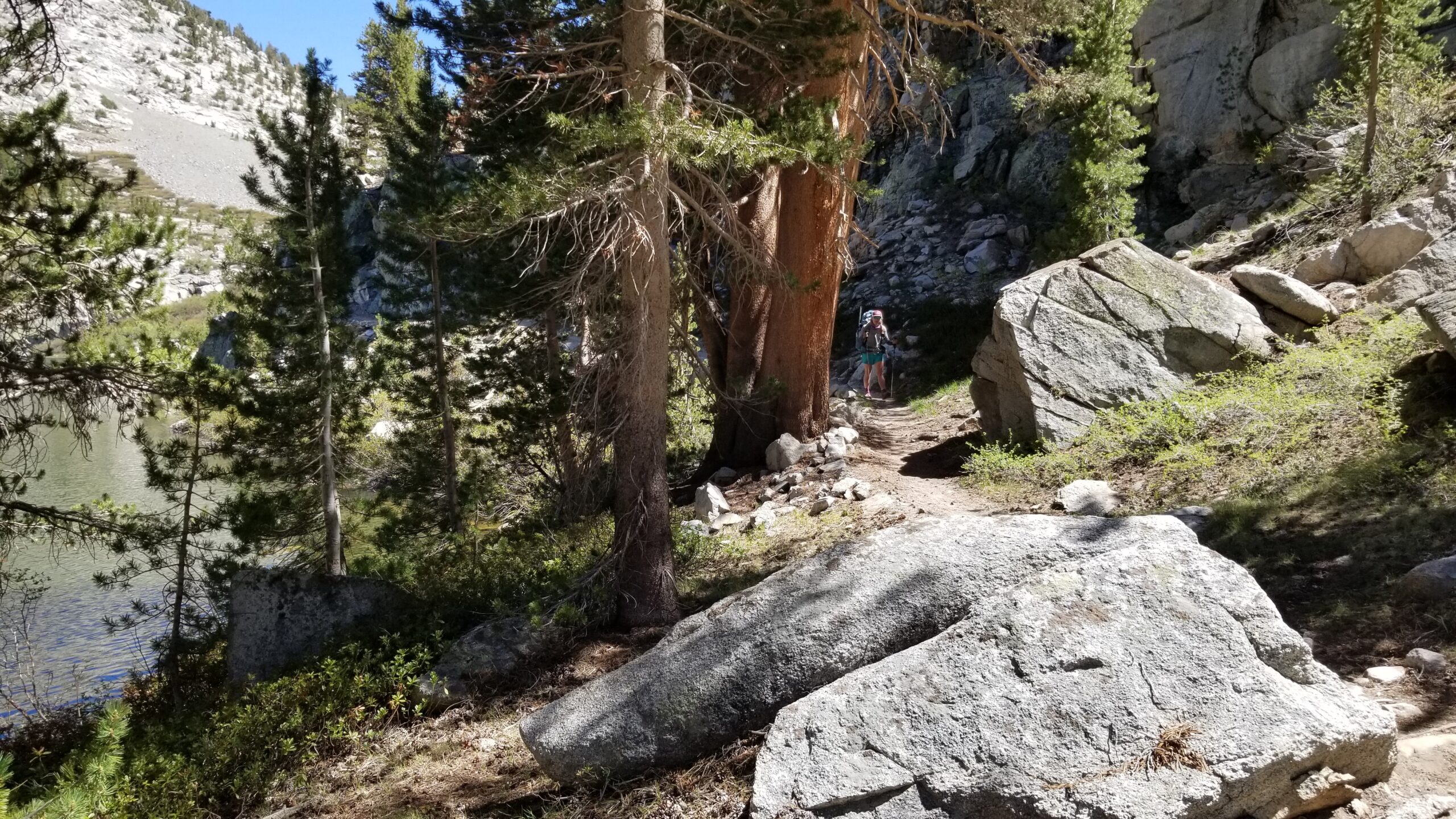
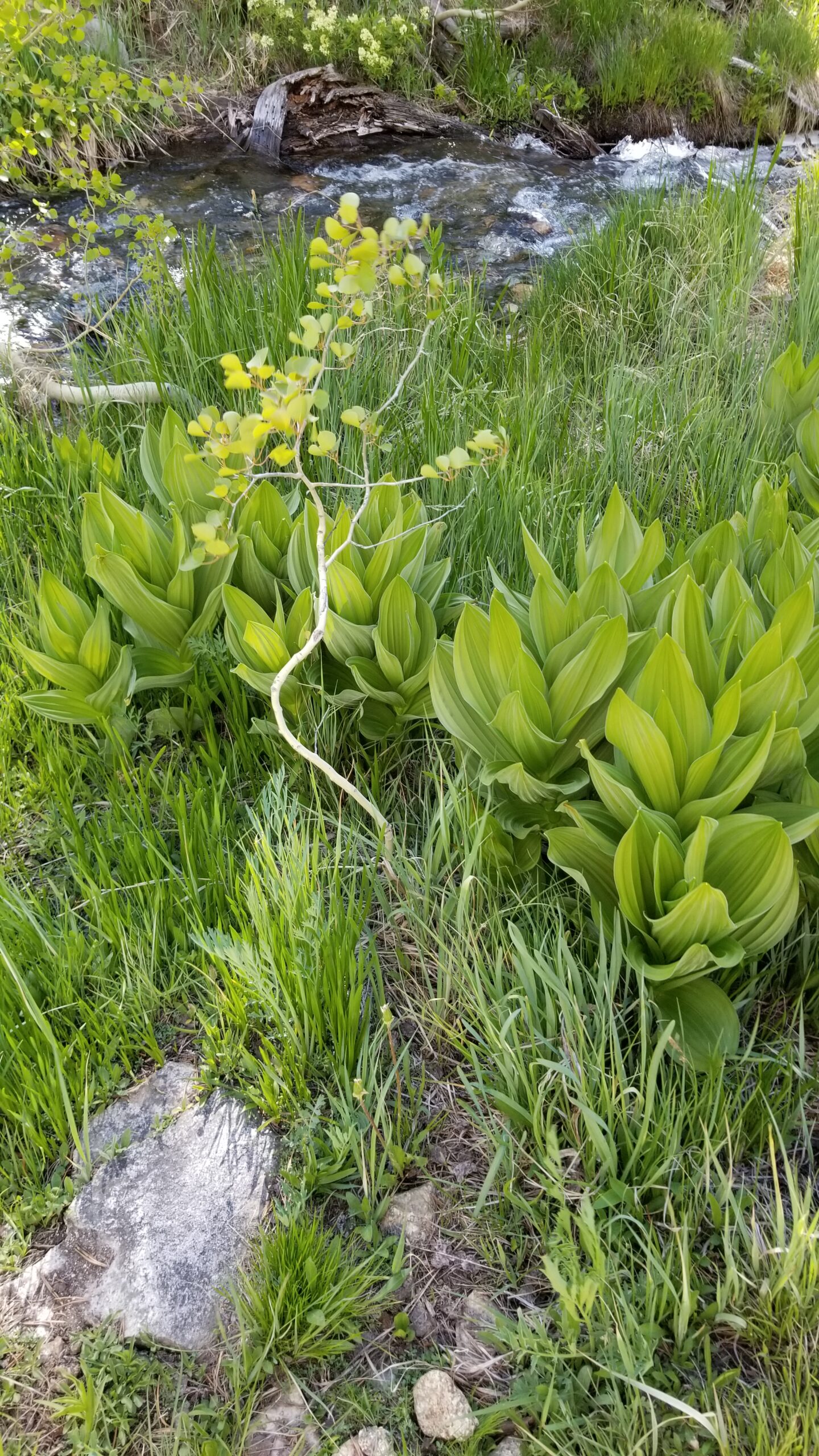
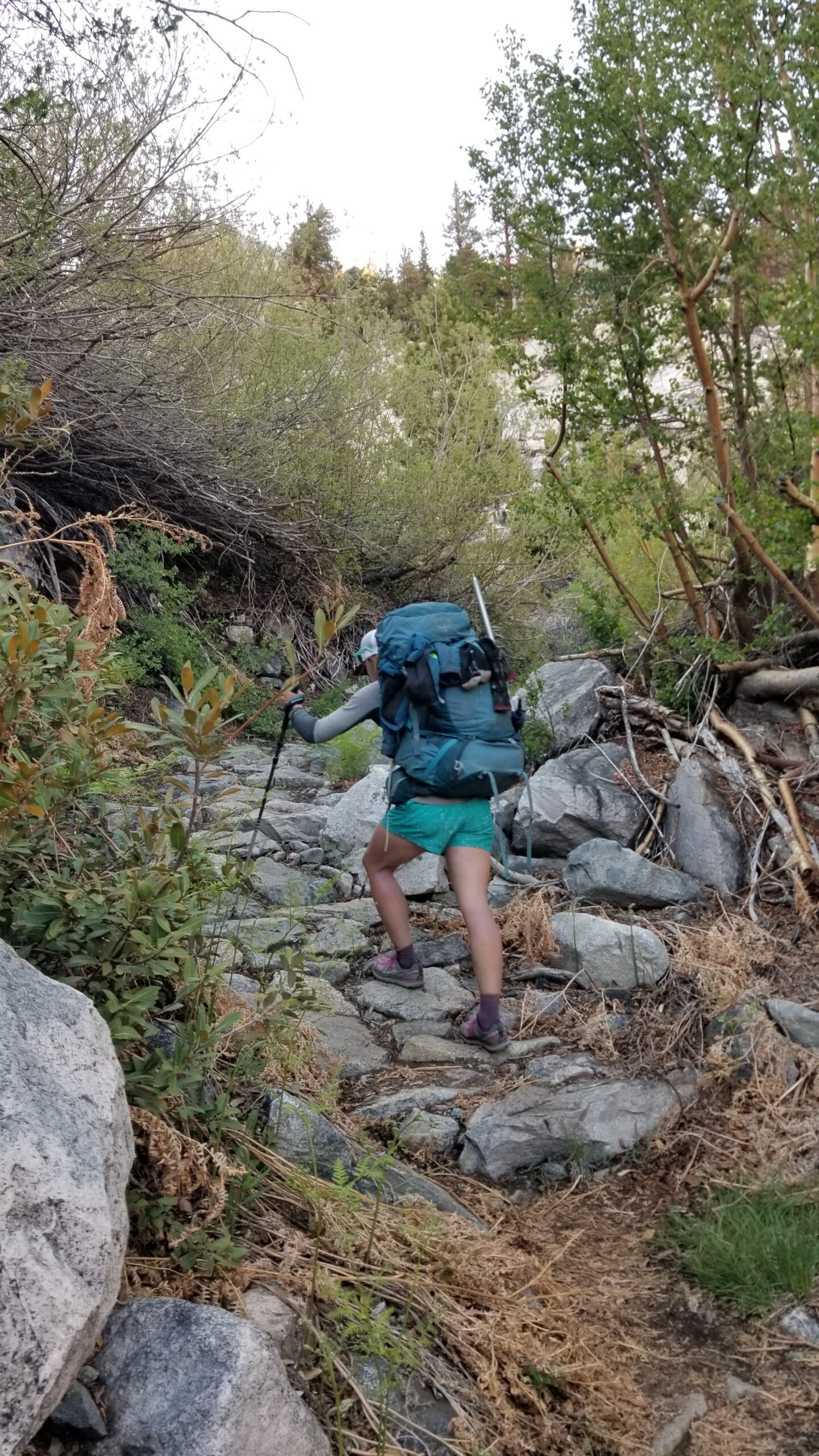
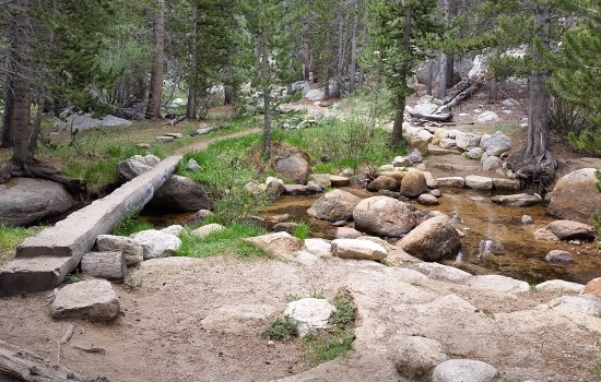
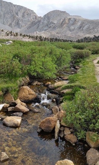
When we finally popped out of the tent we were greeted by a beautiful pastel sky. Morning bluebird skies finally poked through as we strapped our packs on and headed down the trail. The trail skirted a beautiful lake at the foot of Lyell Glacier just below Lyell Peak. Just after the trail quickly leaped off the edge for the descent to the canyon below. A cool clear creek crossed the trail and descended into the Lyell Fork Creek below. At the bottom of the first drop we found a forest of lodgepole pines. The creek sometimes walked side by side down the descent, other times it went off to play by itself. Granite boulders speckled the trail, birds chirped in the background, and best of all it was less buggy.
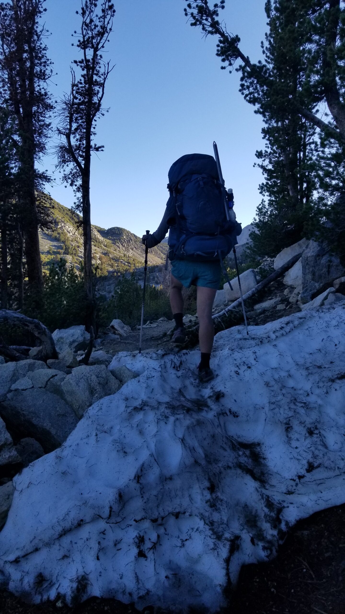
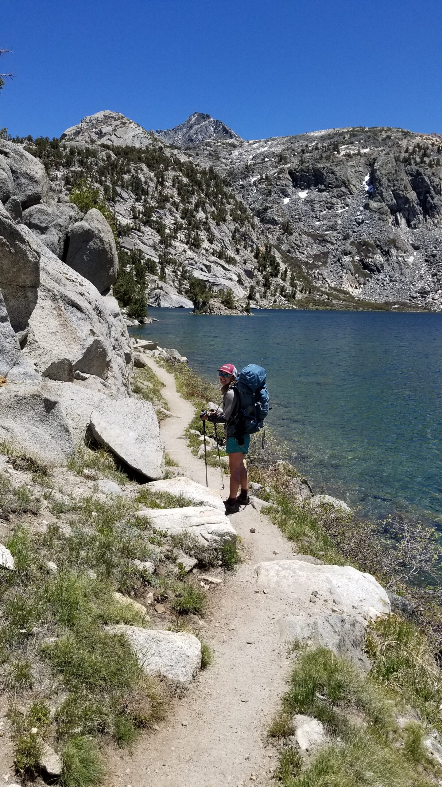
Enjoying the last few high alpine lakesDown we descend into the valley bottomFew good creek crossings to keep us on our toes
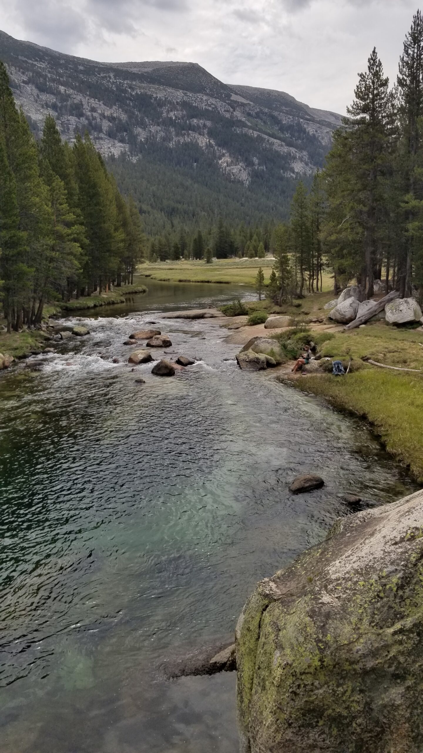
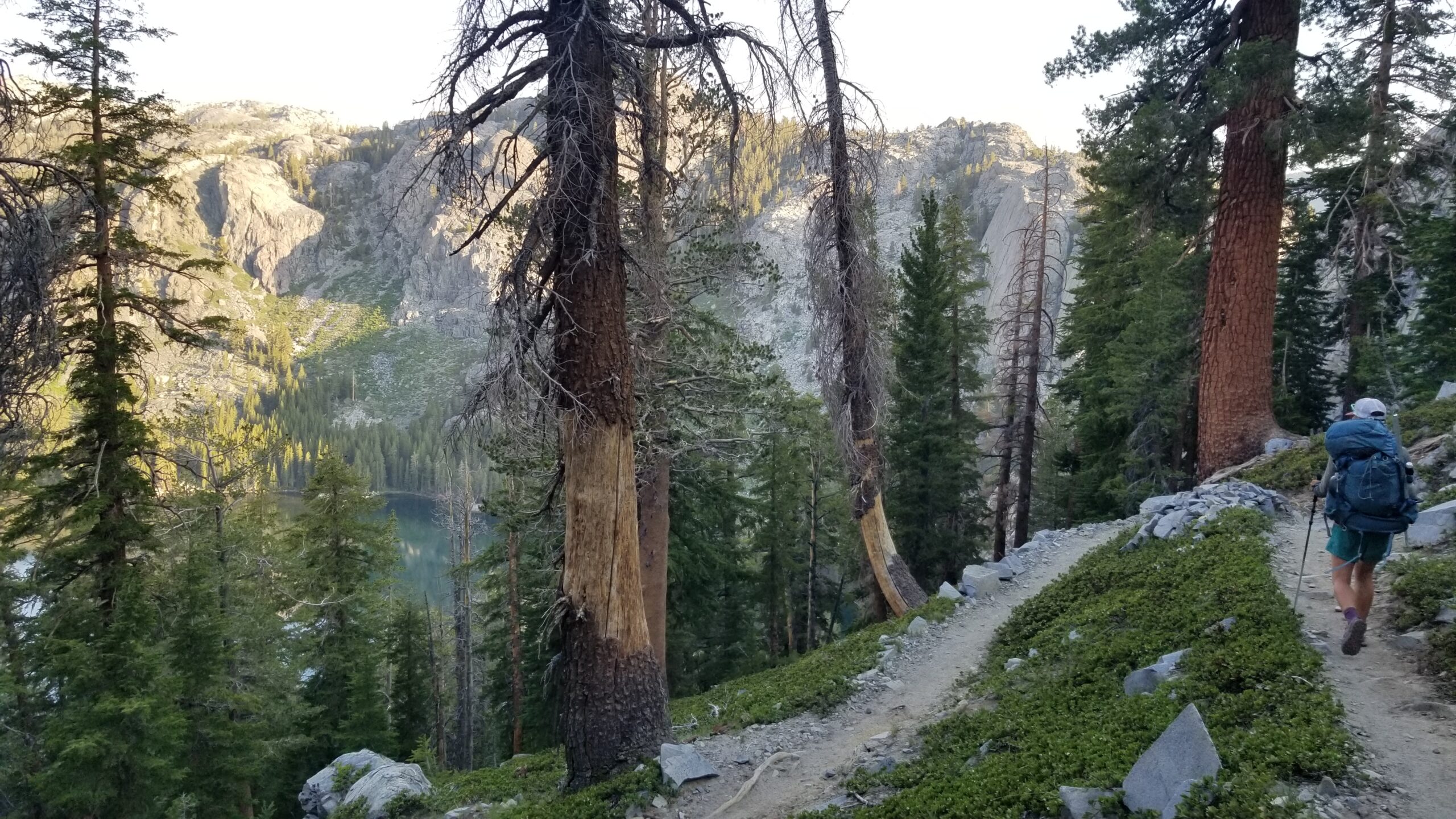
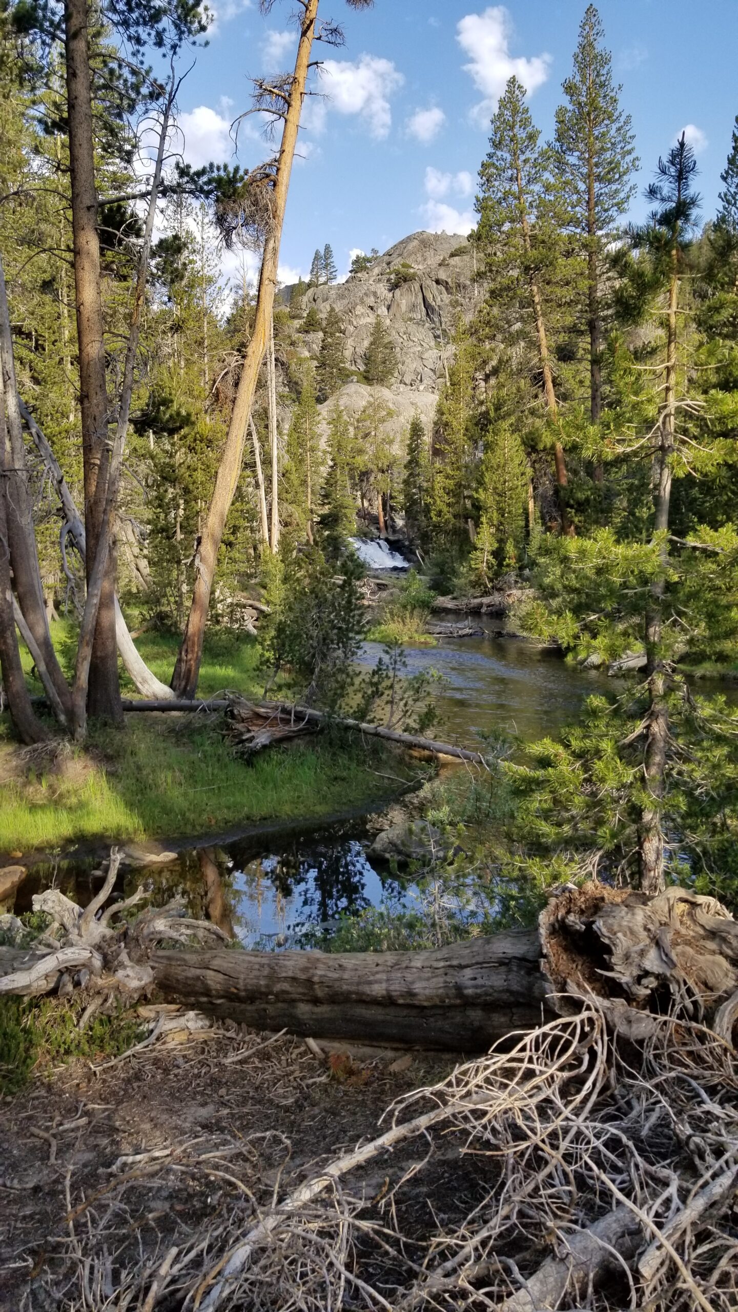
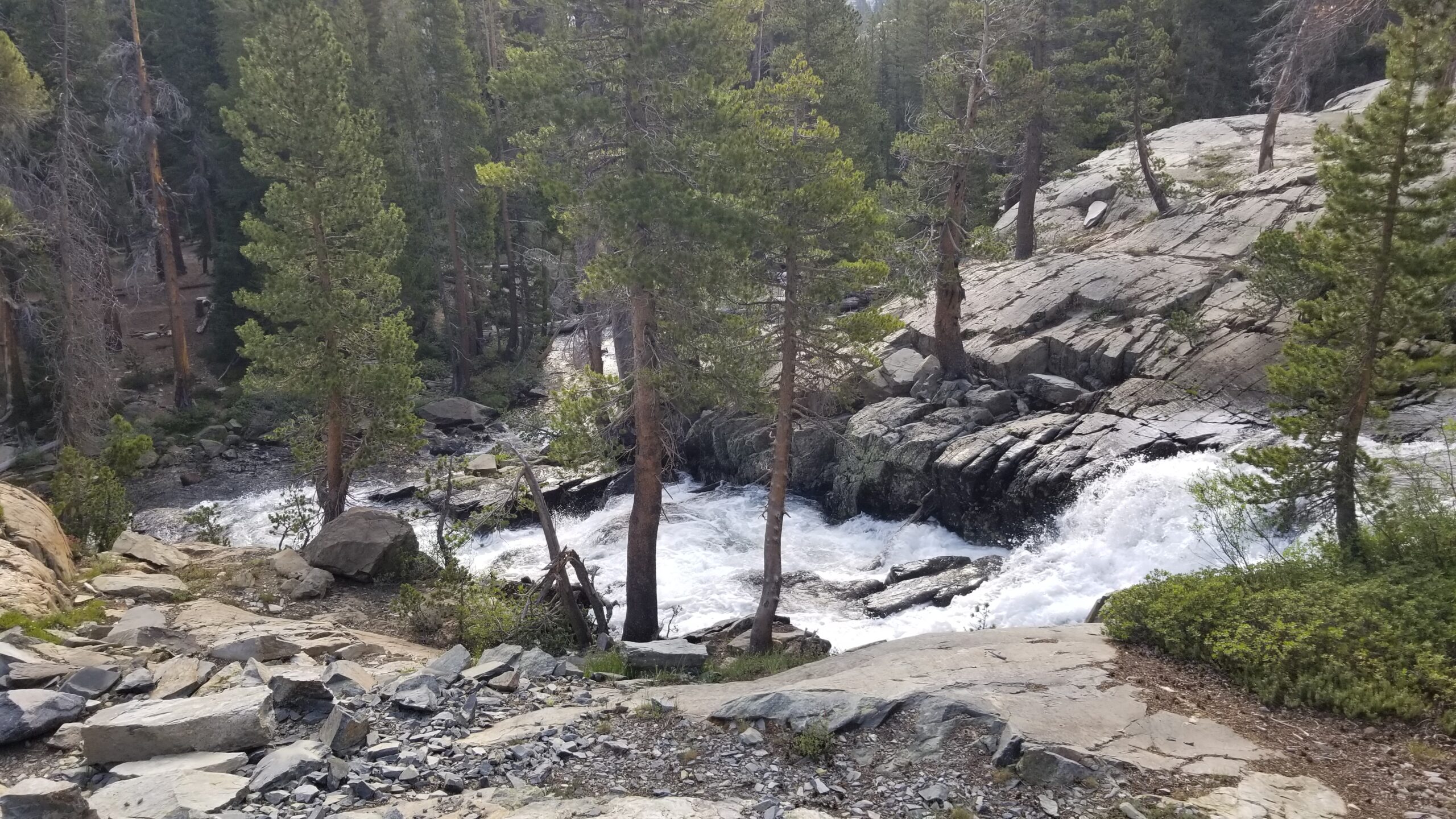
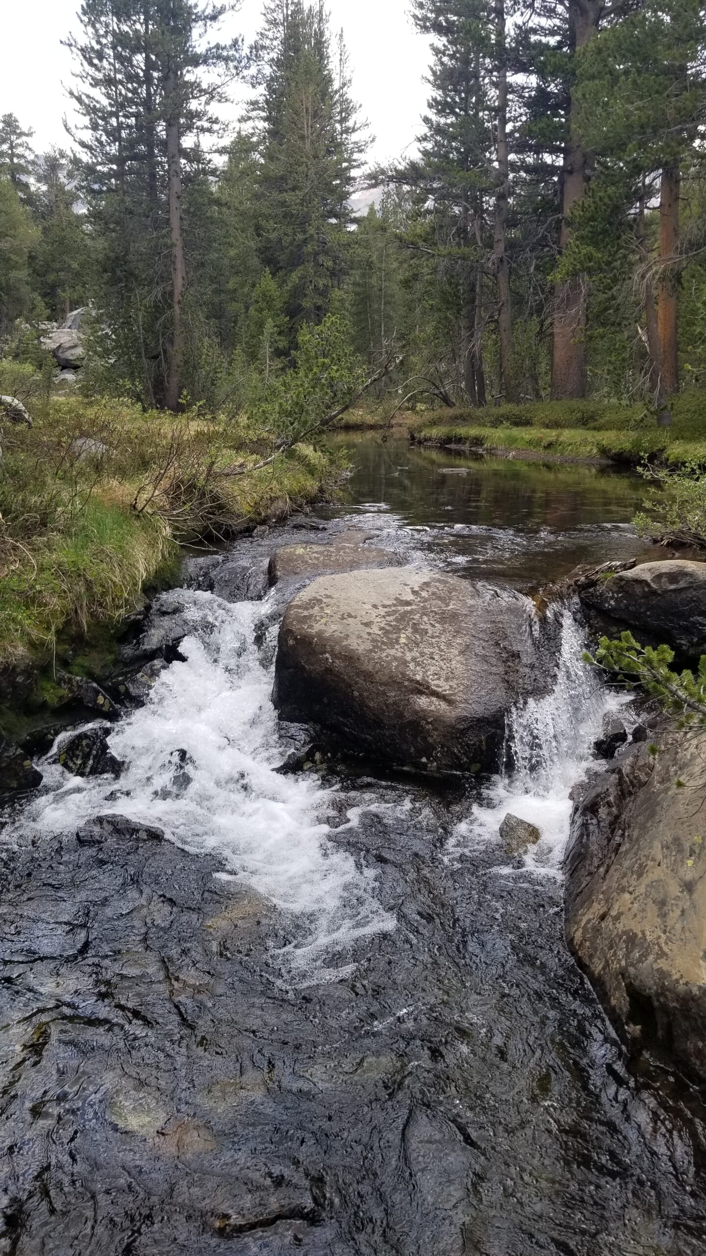
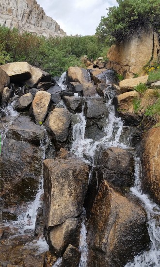
The river snaked through the base of Lyell Canyon proper and our trail descended through granite, into and out of the trees. Not only could you hear the river as it neared the trail but you could also find the Solomon’s seal, the water loving plants, the temperature dropped and we enjoyed the cool walk next to the gurgling creek.
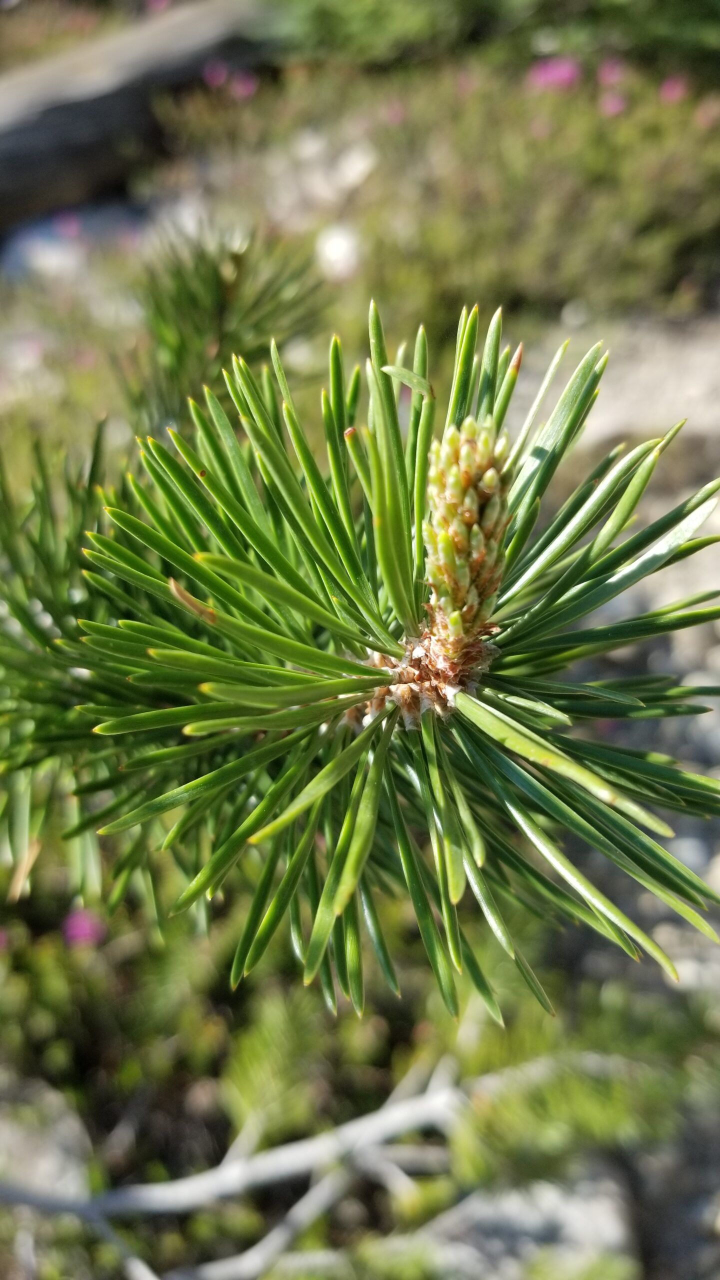
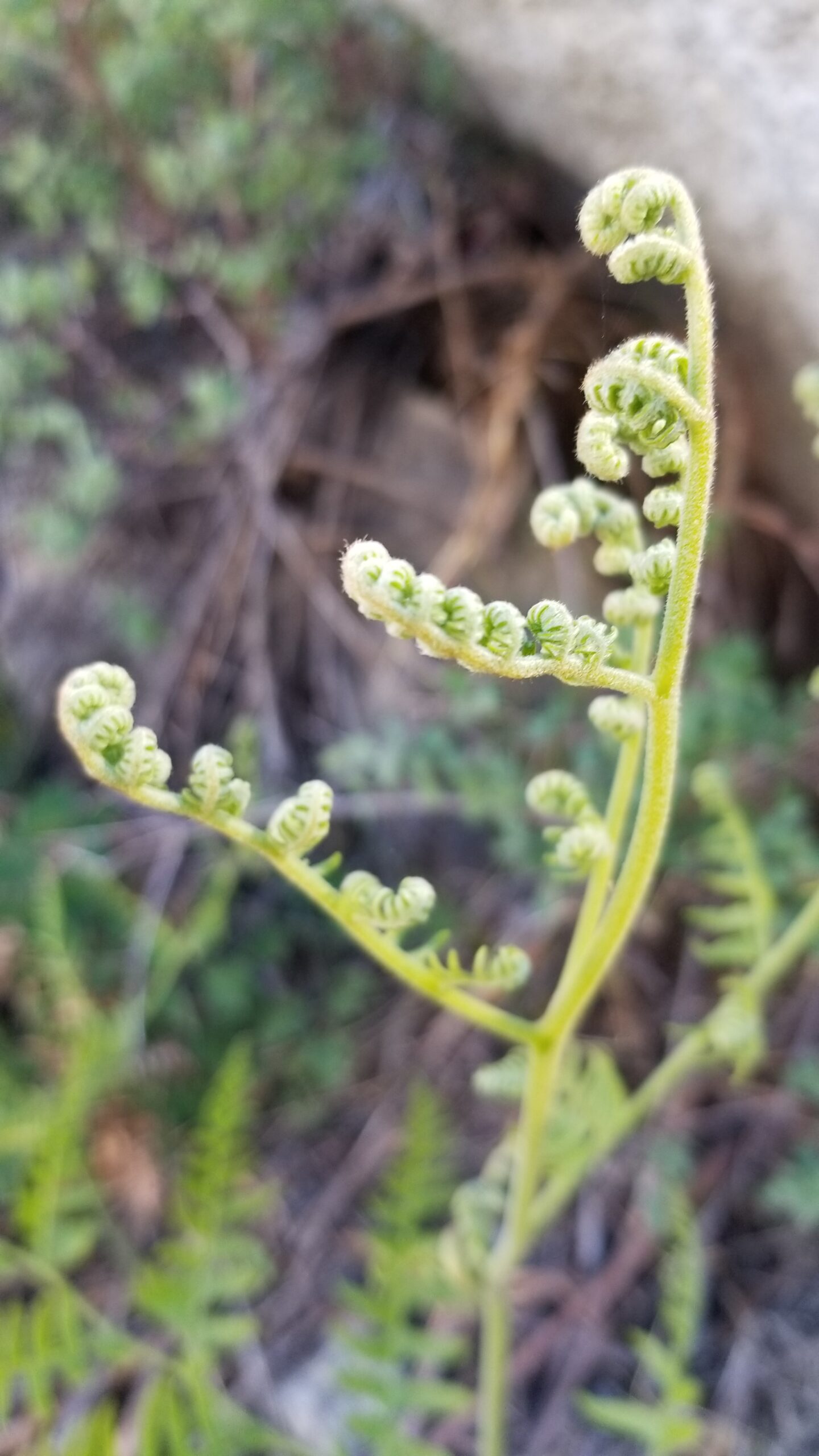
Nature hard at work hereNew pine growth, showing its greeneryLyell Canyon bottom just below
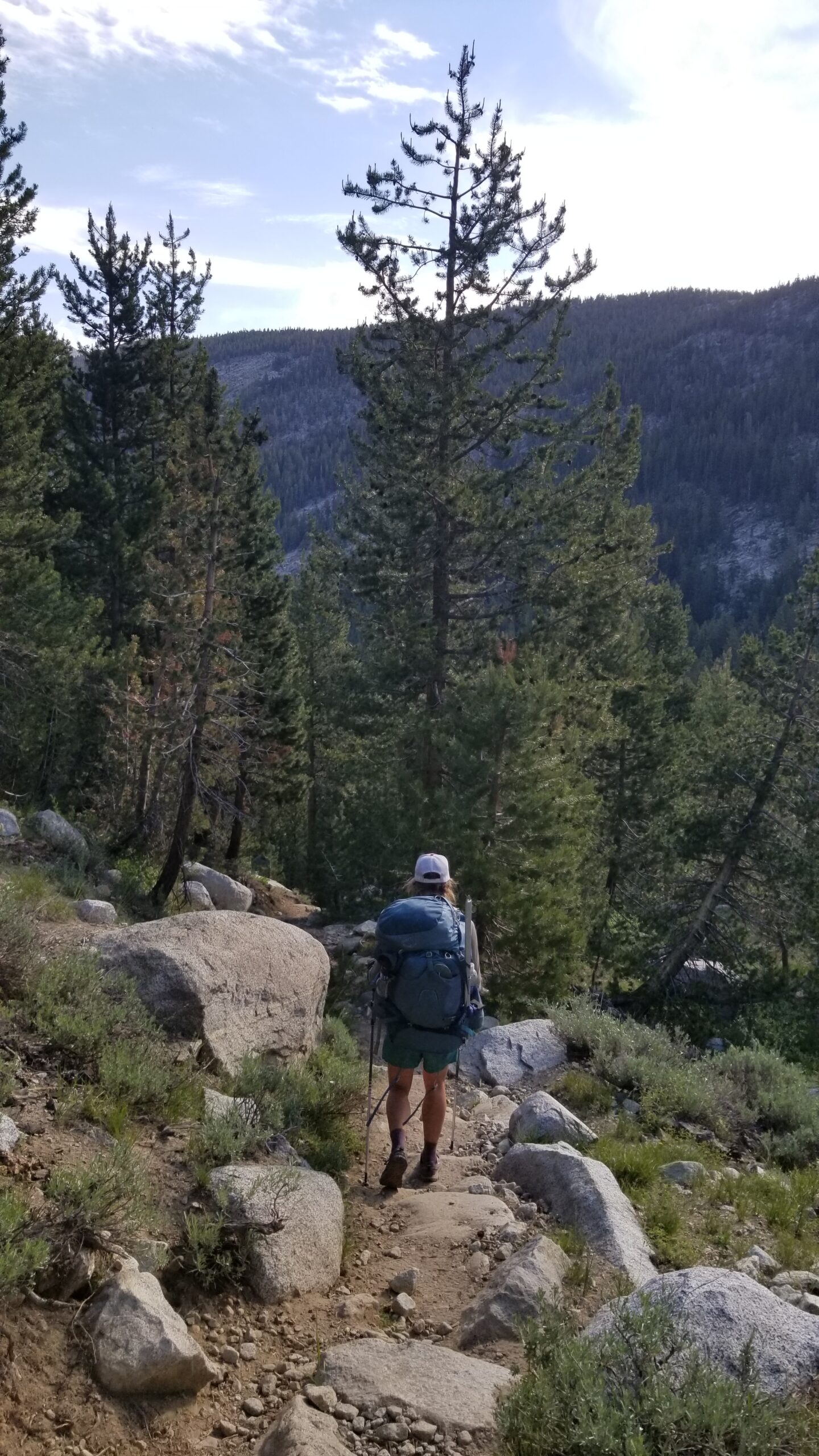
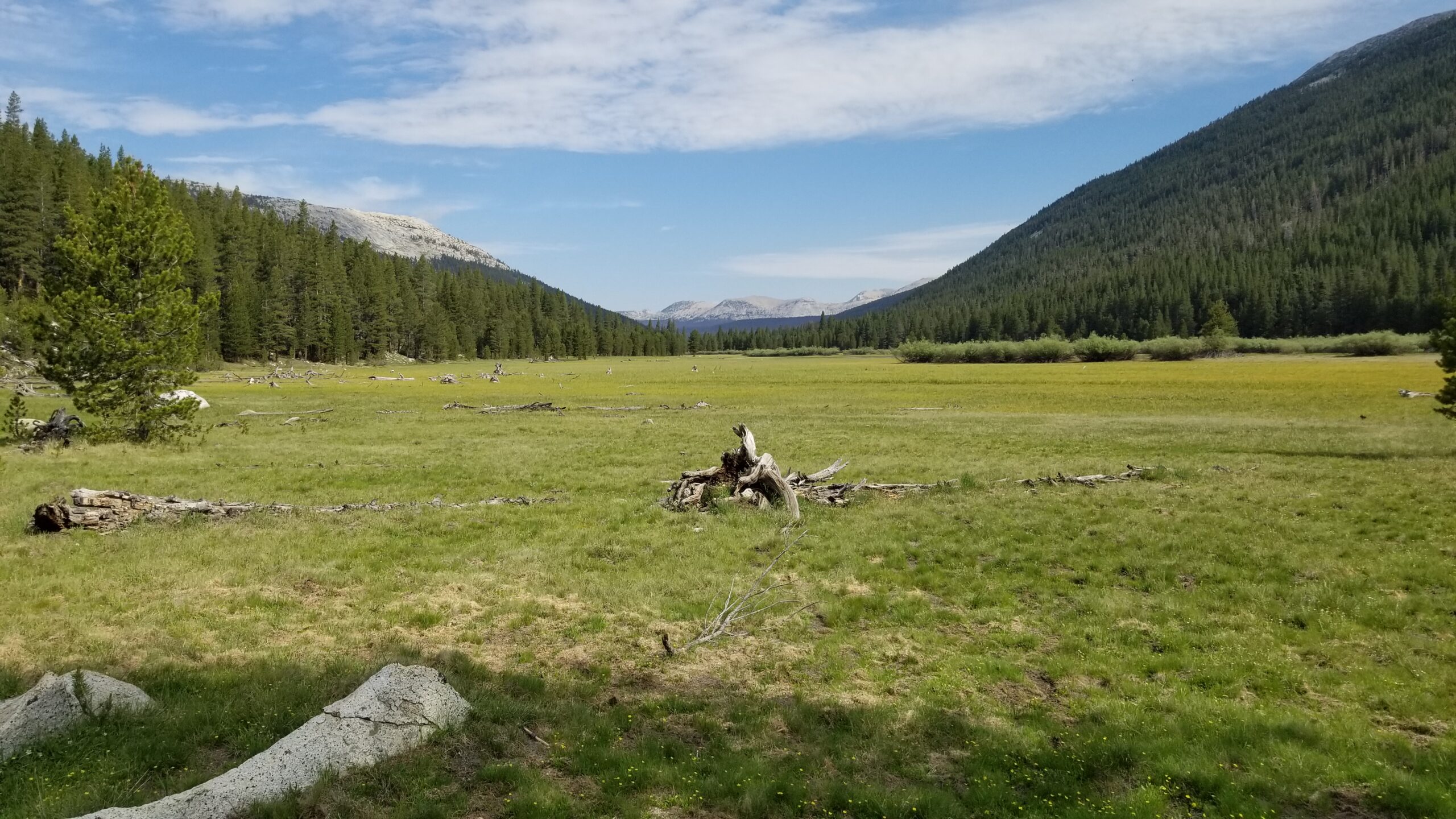
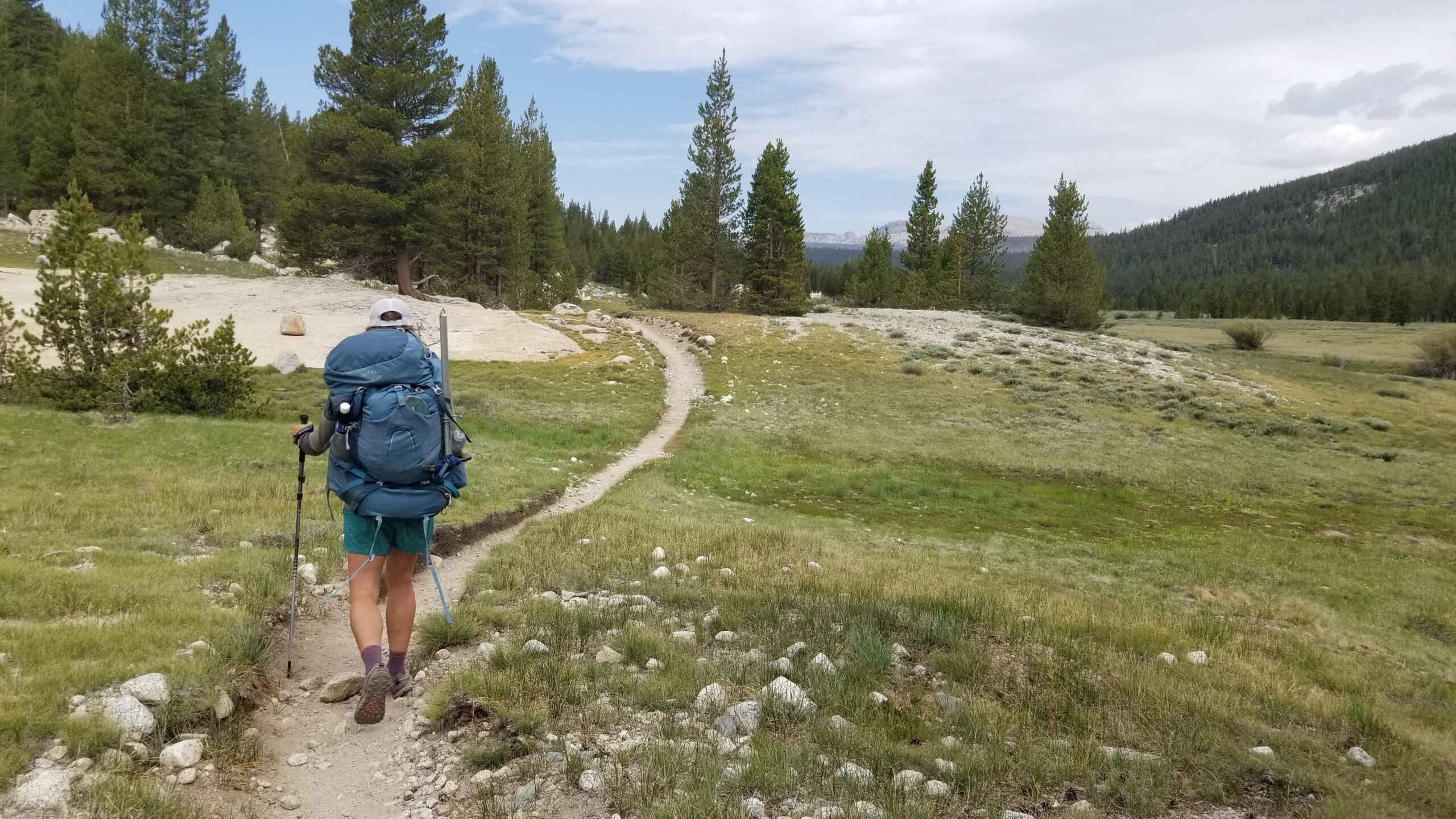
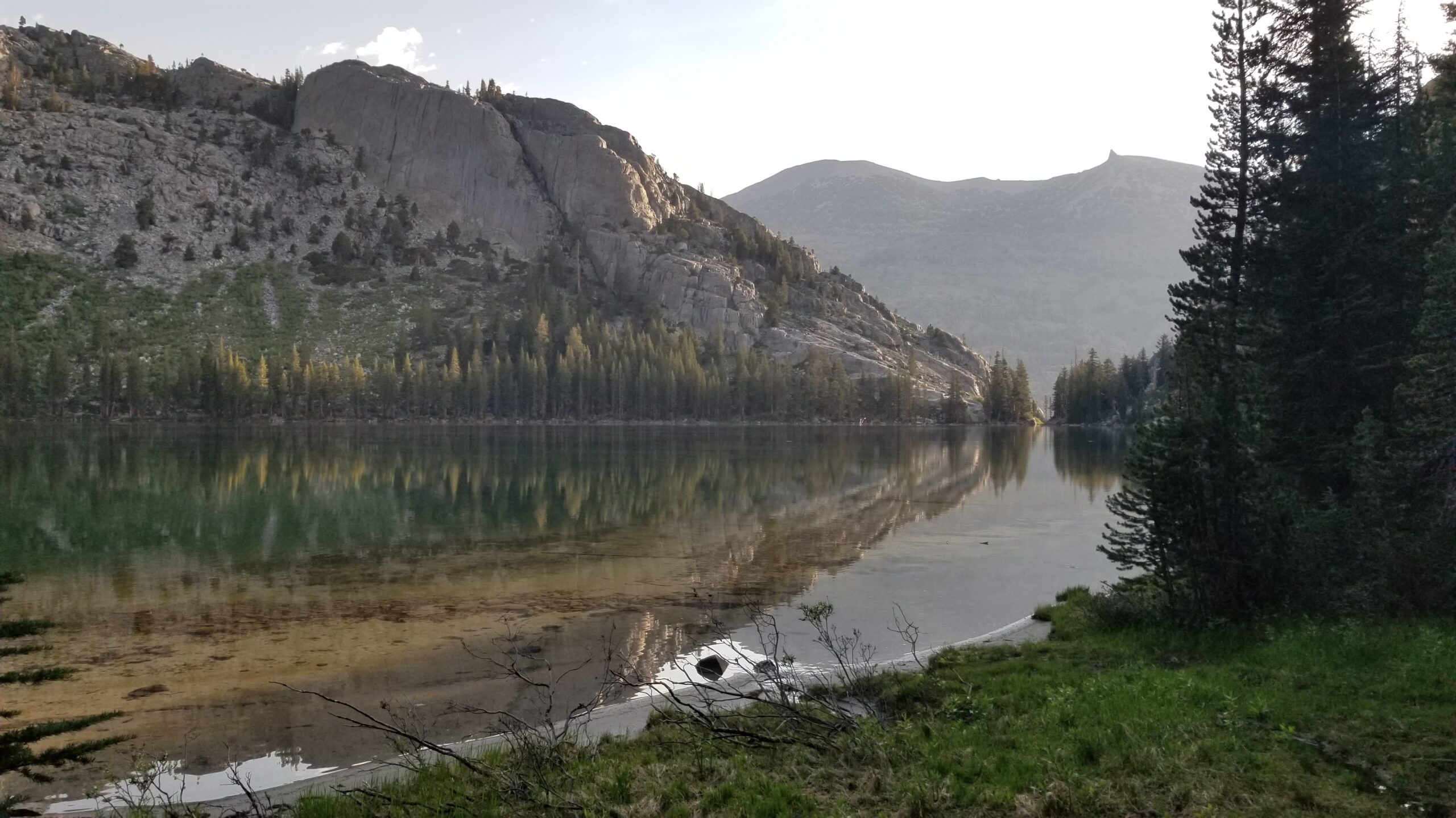
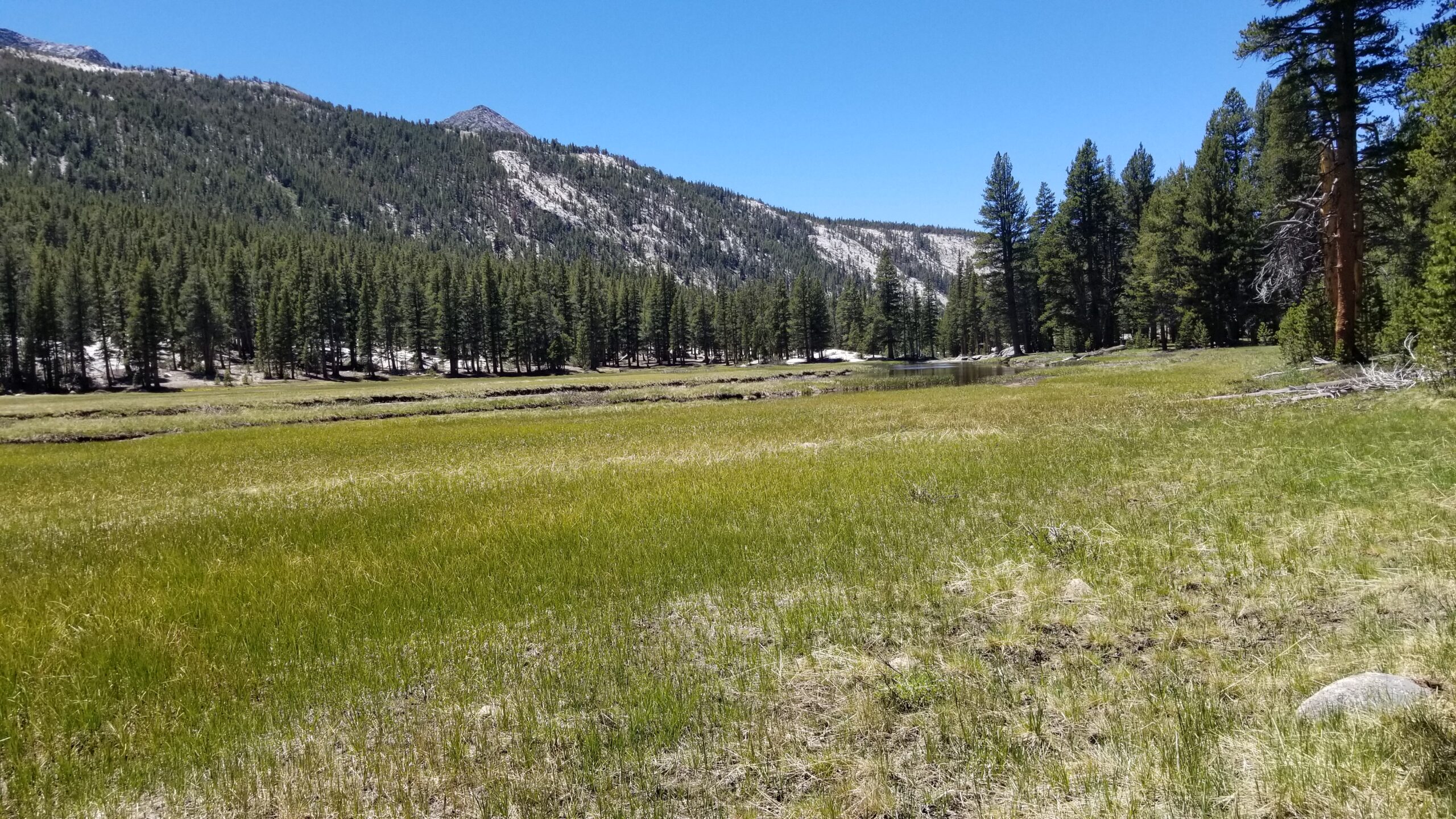
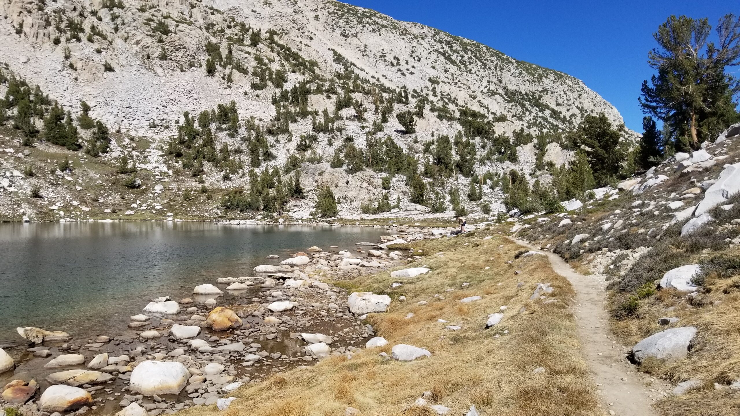
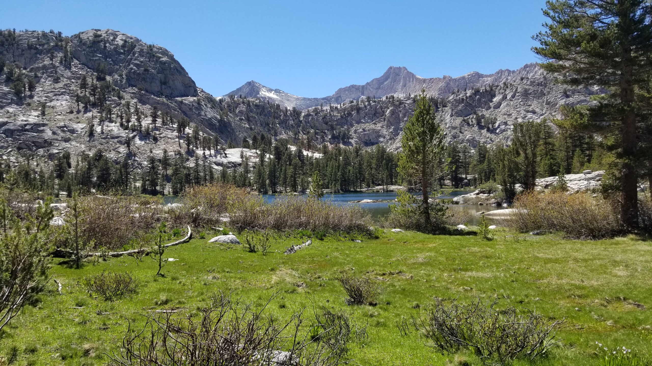
We finally hit Lyell Canyon bottom, which was carpeted with lush green grass, forgiving on the feet, flat, soft, and easy to make miles. There were a few deer grazing near the creek in the distance, we paused for a moment to appreciate them and wondered if there would be more if there wasn’t a trail carved through the valley bottom.
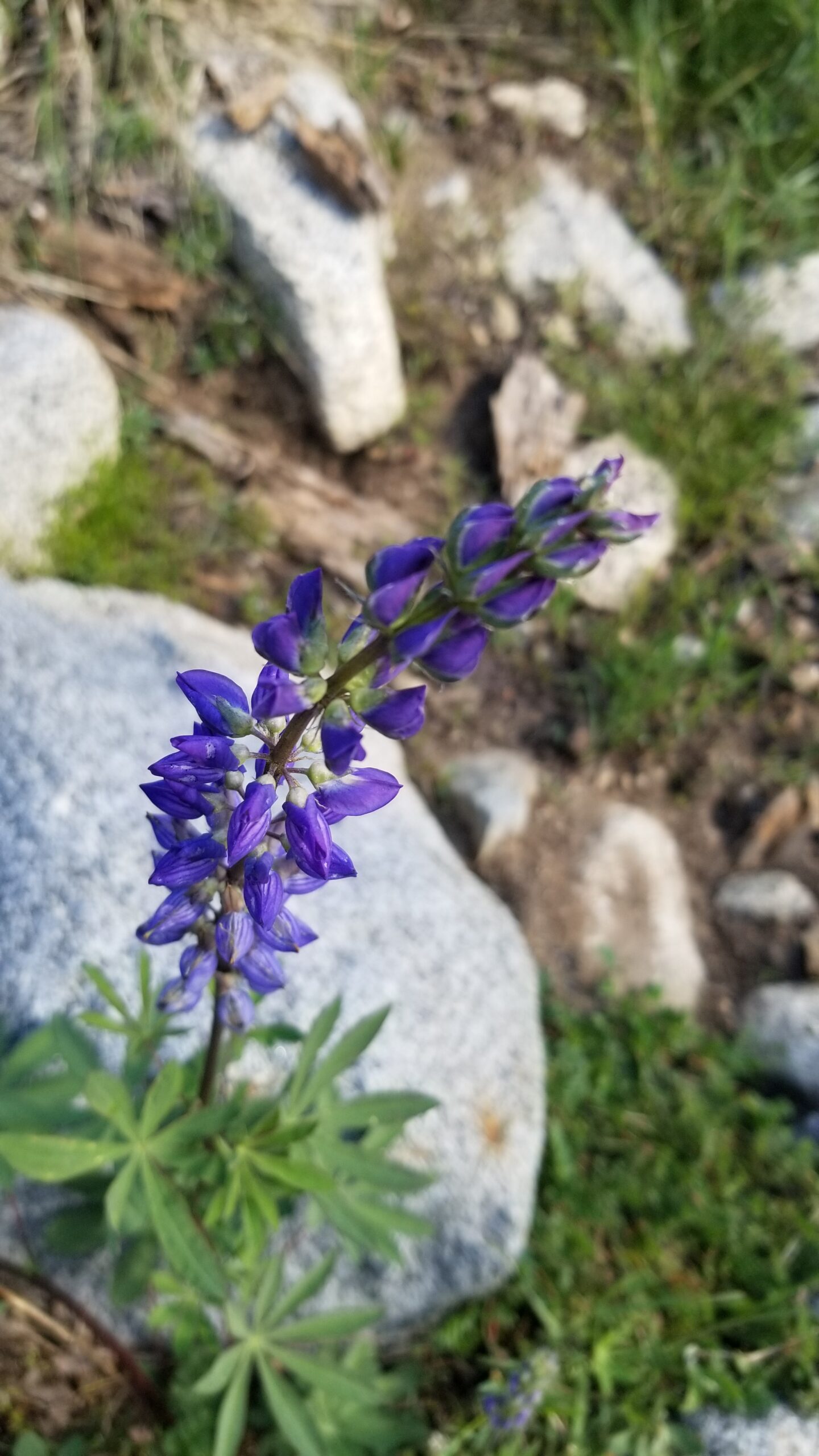
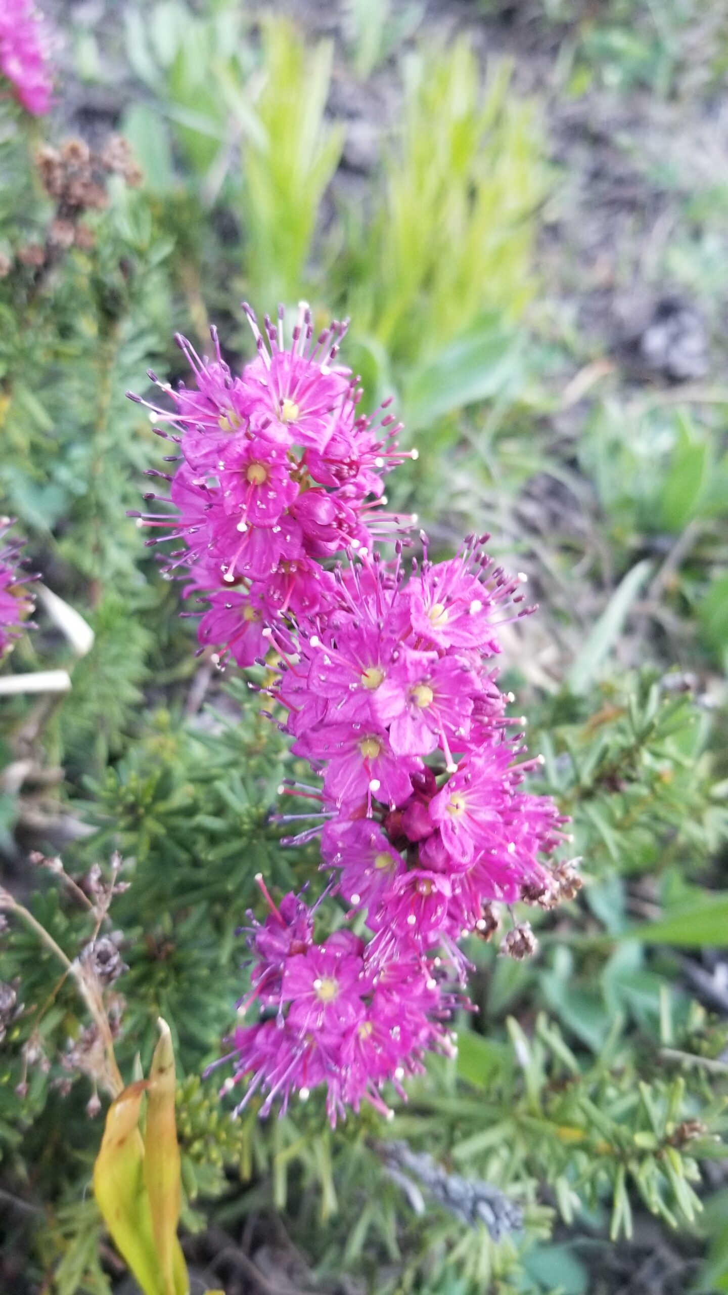
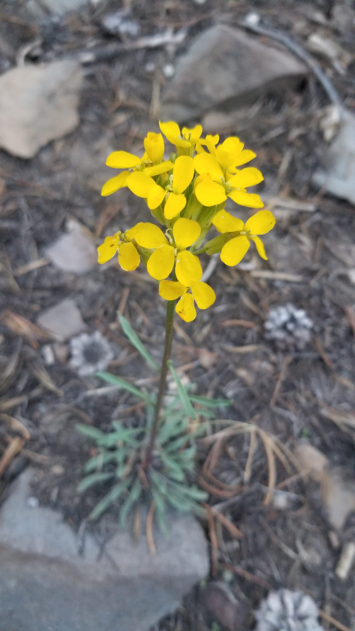
Beautiful lupins welcome us to the meadowsThe flat meadow was quite a change from our terrain over the trip
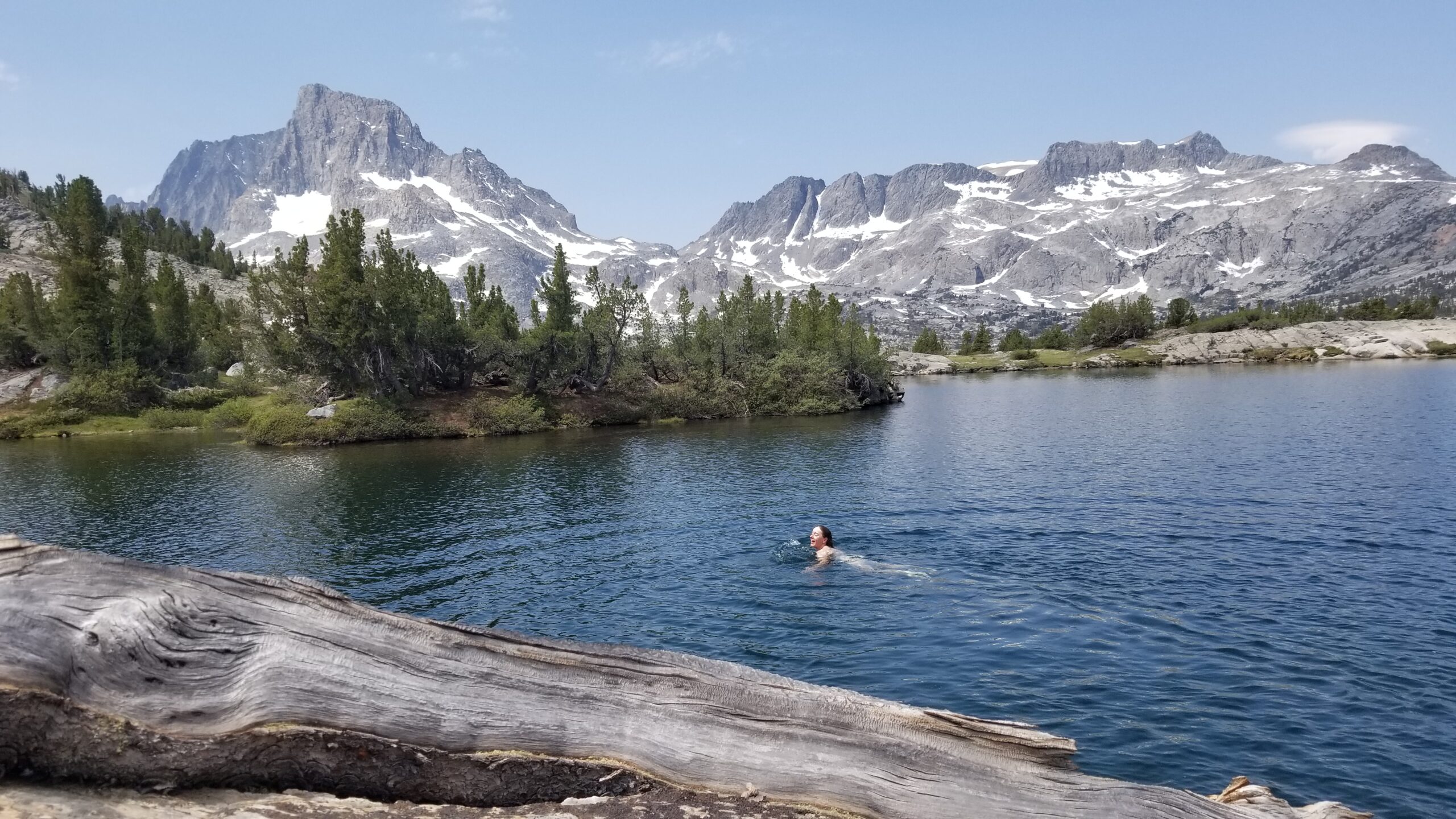
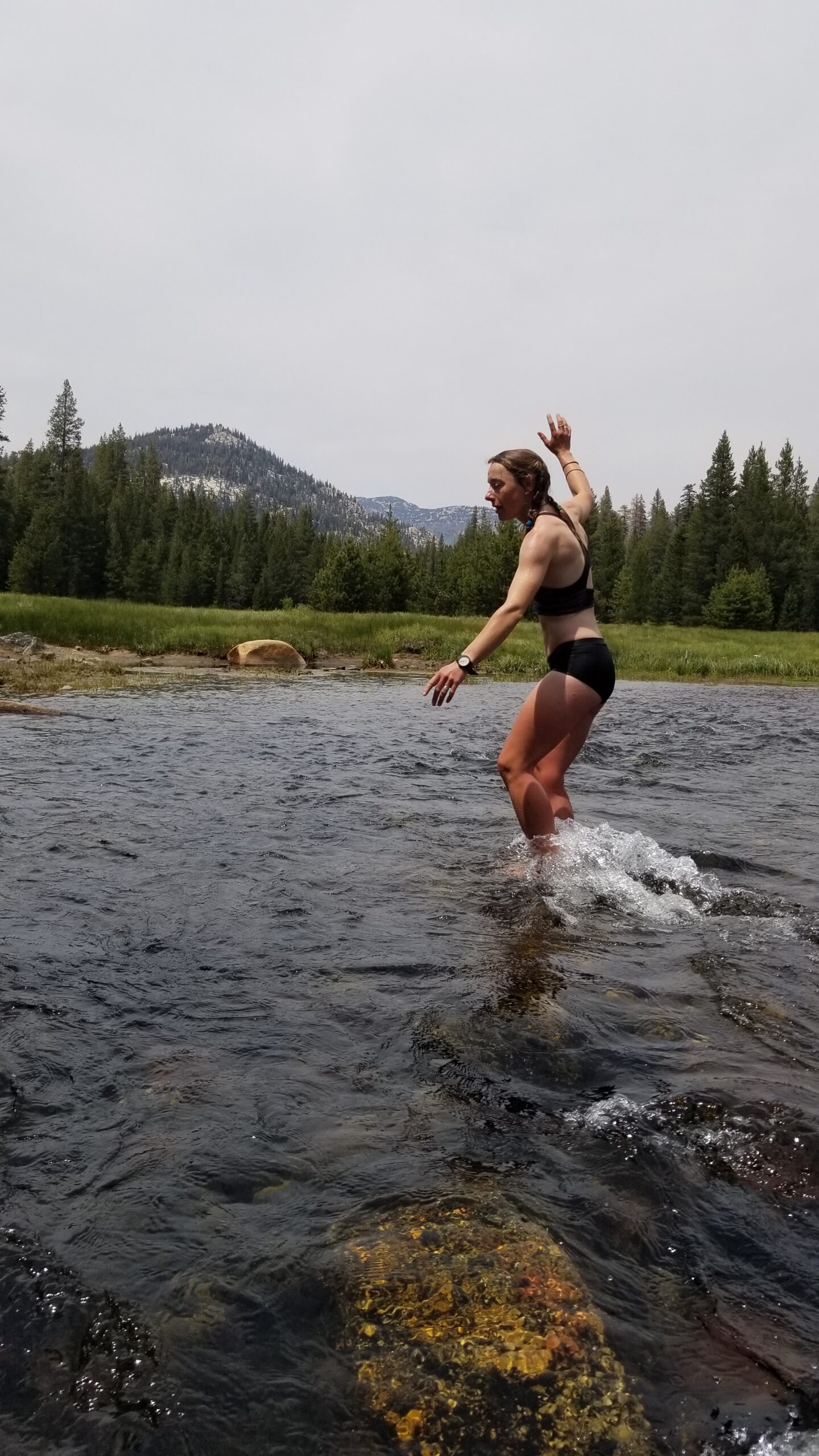
We trekked on until we finally found a beautiful boulder overlooking a deep cool emerald pool where a few trout floated waiting a good meal. We knew this was the last real chance for a dip before the end of the trail. We quickly threw off our smelly clothes and leaped in. The cold water rushed over our bodies and we were soon swimming for the shore to seek refuge from the cold. Replenished by the cold waters we pulled ourselves to the rocks, dried off and threw on our clothes.
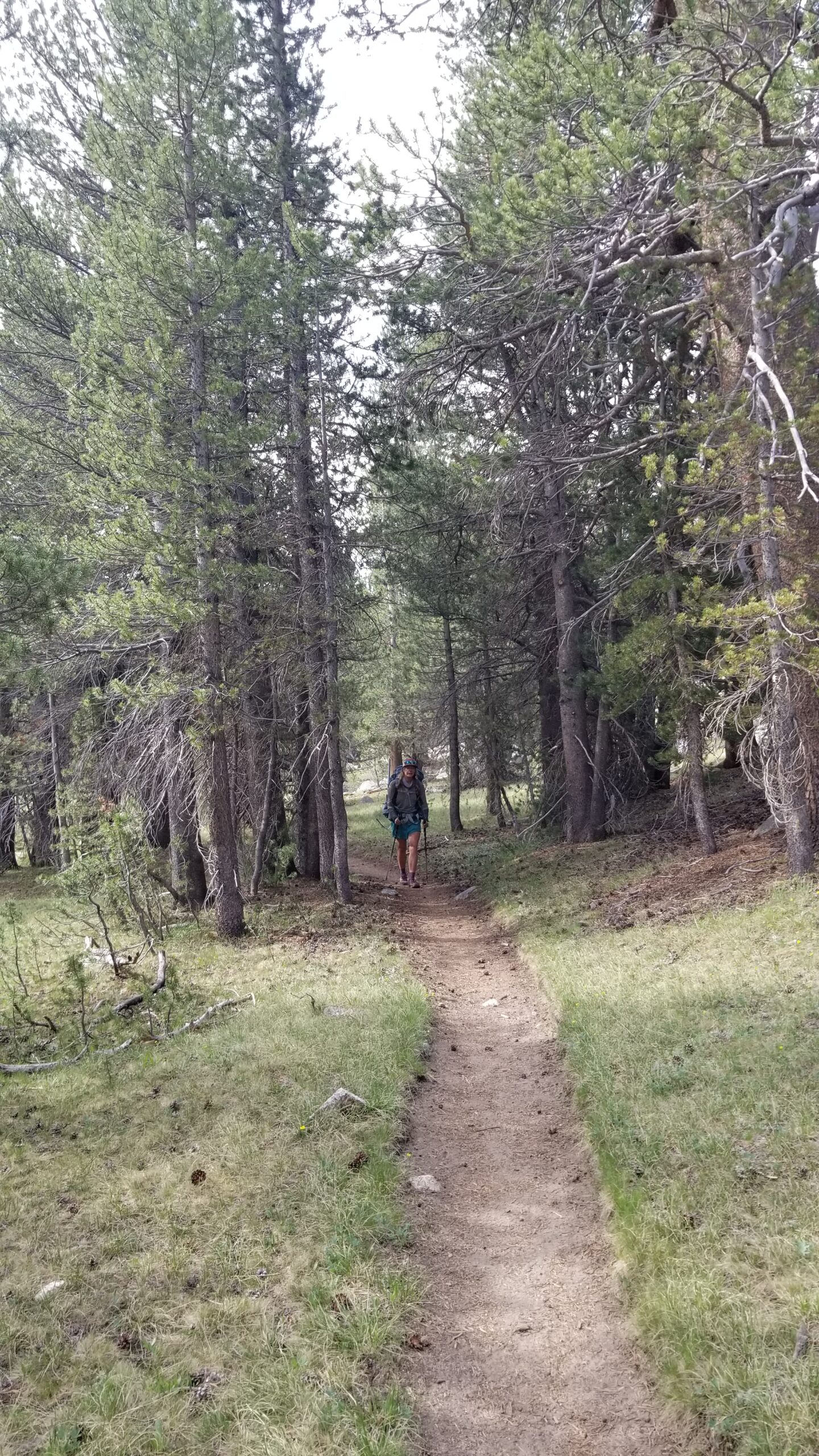
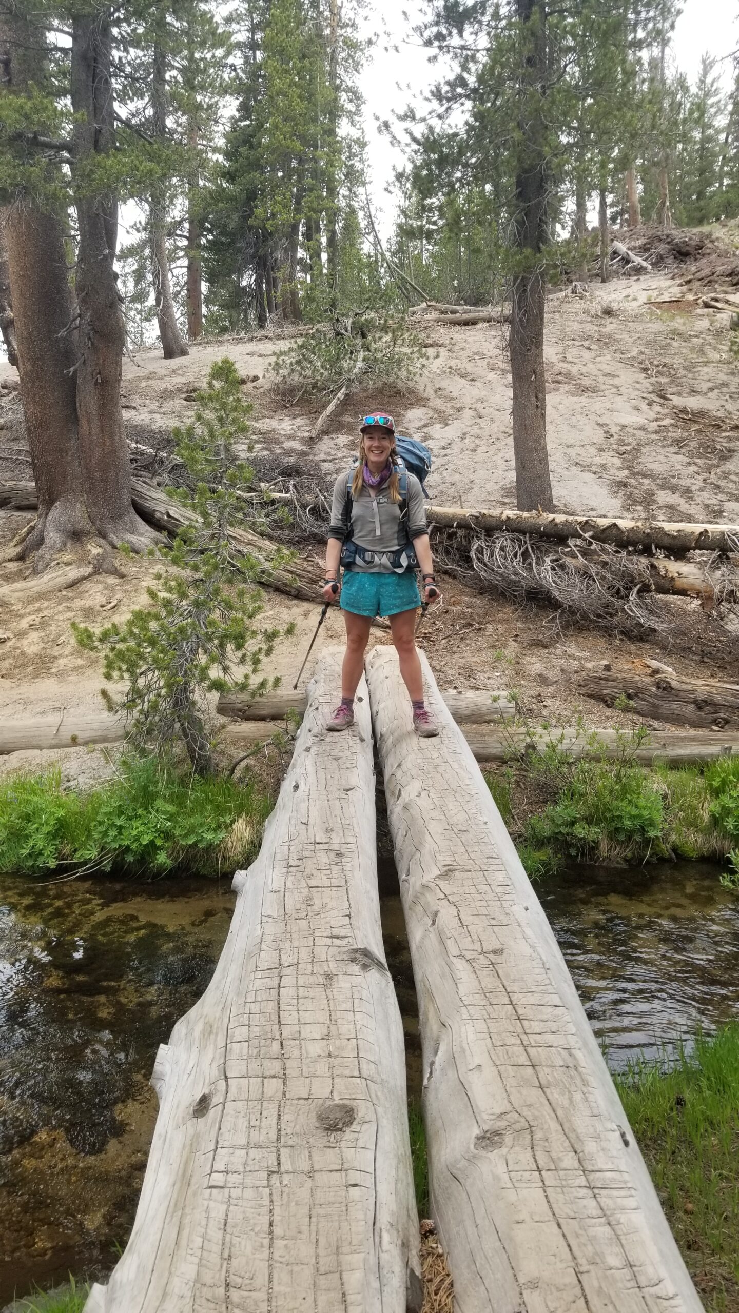
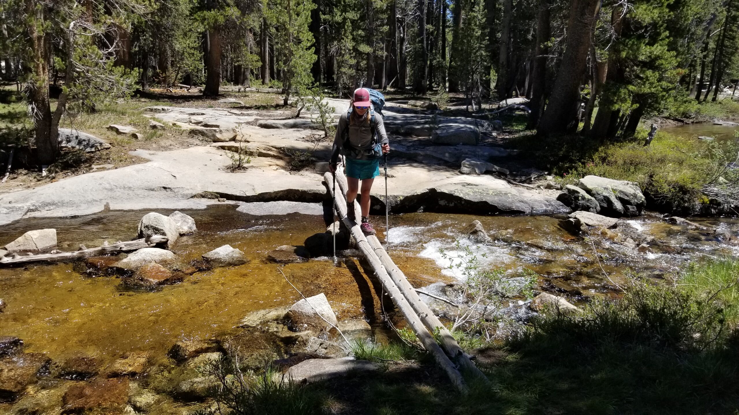
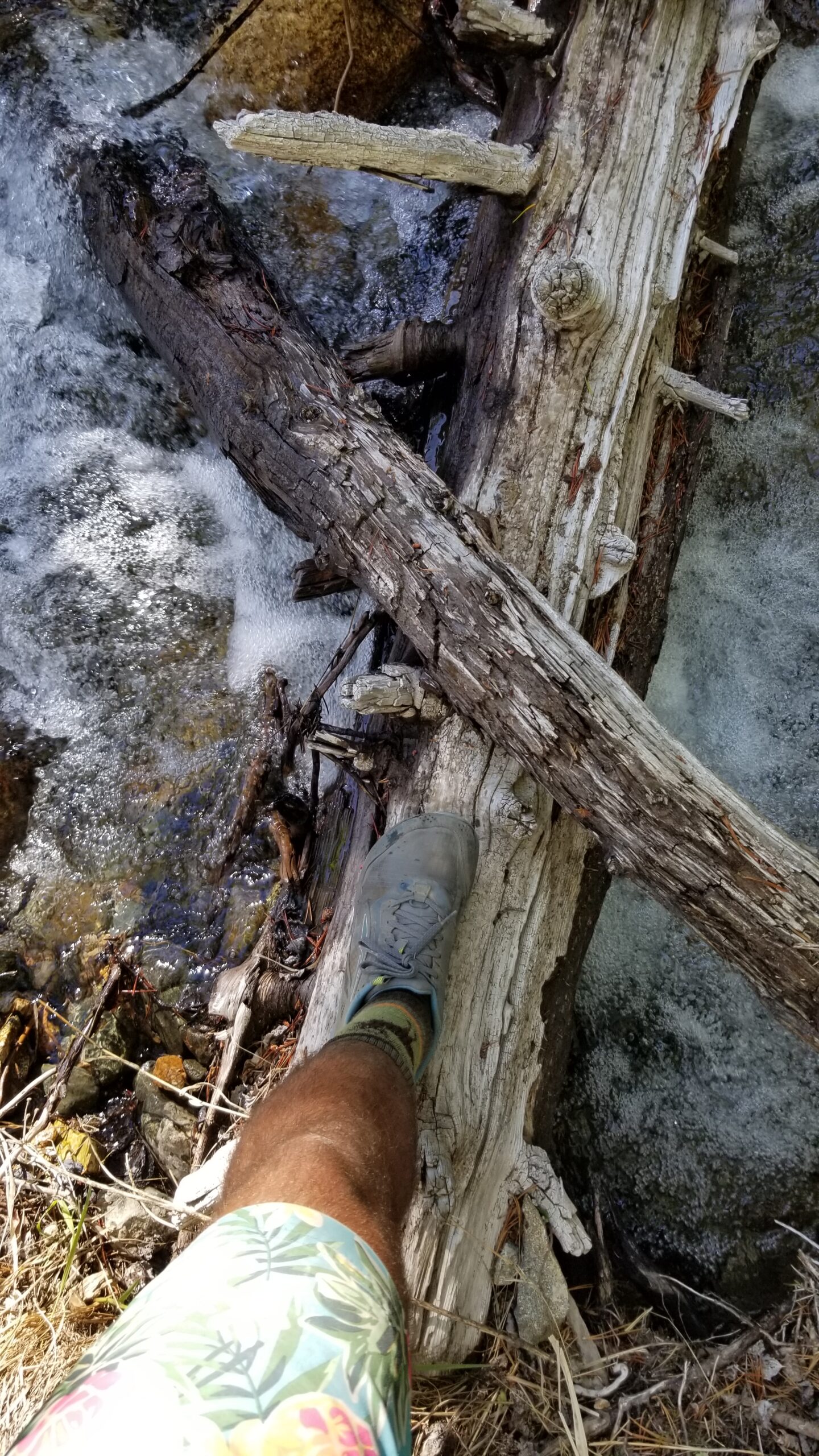
We meandered, sometimes quietly, reflecting back to the mountains aboveStill enjoying the meadows in front of usLog crossings and clear creek water
We headed down the trail feeling high from the cold water and took in the landscape. The flat valley was enclosed by two large granite faces that rose up and leaned away from the bottom. They were covered in pines and you could get lost in staring into them. A few miles meandering down the valley we started to meet fresh smelling day hikers and knew we must be close.
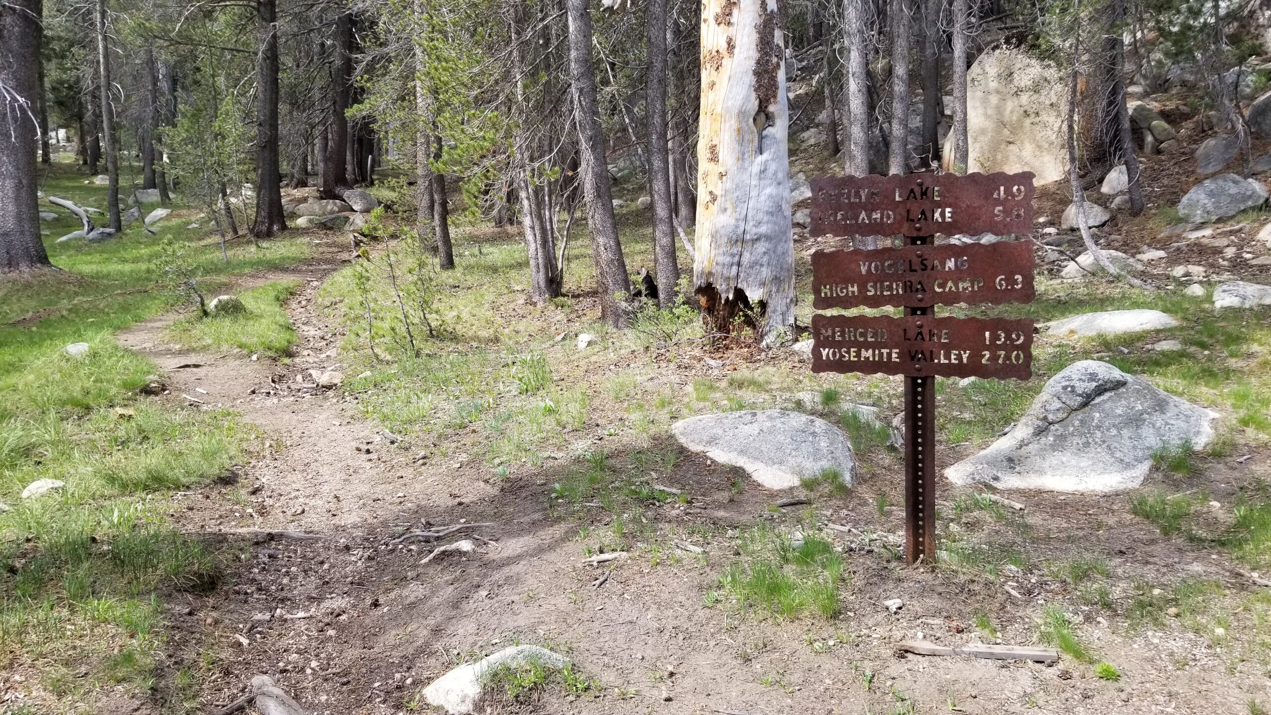
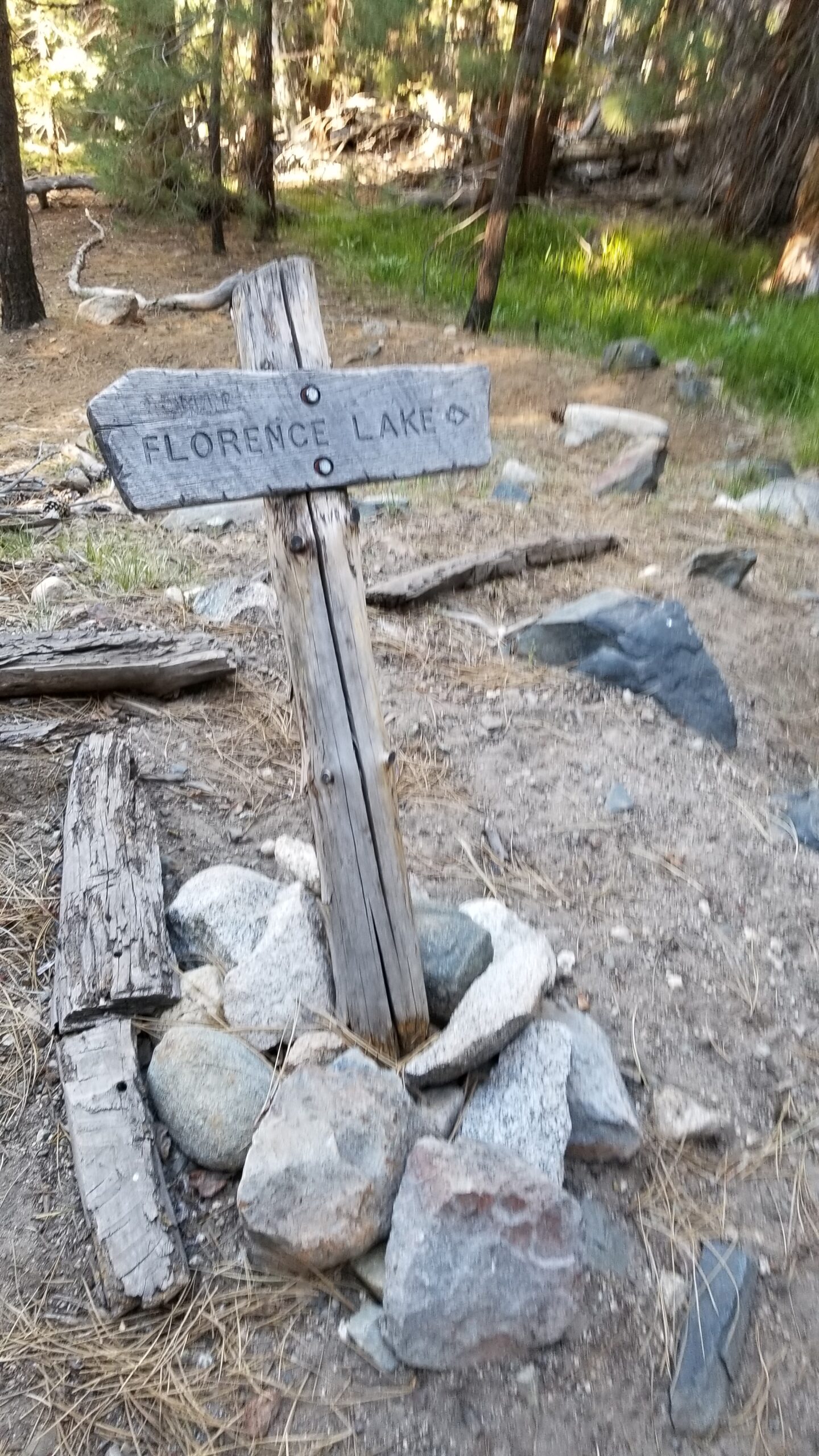
Finally we saw a sign beckoning us back to realityWe meanderedHad another good dip in the cool Sierra fed creeksTook in the sweet smells of the flowers
We debated on how we felt about being at the end of our adventure. It seemed pretty bitter sweet, we both knew it was time to end, but really appreciated the experiences that we were privileged to have had in this high altitude paradise. You can’t really put into words what it felt like to wake up in a tent 5 days from nowhere and having the most raw beautiful wilderness outside your tent. We both really appreciated this exclusive experience.
Alas we found the end of our adventure, at least for this trip
We plodded down the padded trail, crossed the Tuolumne river, and soon crossed the last creek just before the parking lot where our van awaited. We had completed our journey, 200 miles through some of the most untouched beautiful trails in the country in the heart of California. It was another great day, and a good meal and beer awaited us at the general store!
We awoke to another beautiful morning. Mountains surrounding us, the golden hue of sunrise started reaching its fingers through the night sky. This morning, we were no longer hikers, we were recruits of Lieutenant Ripley from the Alien movies and we were facing a remorseless cold blooded foe (the mosquitoes), however we had no flamethrower . . . only our ability to attempt to outrun them. We packed up as quickly as humanly possible and hauled butt down the trail.
Getting the day going!
The descent was fast and we soon found ourselves overlooking Rosalie Lake. Fish leapt from its depths making small rippling circles on the calm surface of the lake. There were dozens of them, momentarily disrupting the mirror lake. Pines stood lakeside but also climbed the granite face on the far side of the lake. We would have loved to stay longer but the mosquitoes wouldn’t allow it, we were again on the move!
Fish jumping from the calm Rosalie LakeCrags on the far side of the lake rise to meet the sky
We climbed the small hillock behind the headwall and were soon descending towards the slightly larger Shadow Lake. We looked up and saw another NoBo PCTer swiftly bombing down the switchbacks. We waved and said good morning. He slightly acknowledged our presence as he skated by. You can hike the whole trail with headphones in and your eyes on the ground, but I don’t think you’ll see too much.
Calm serene Shadow LakeDown we go!Taking time to take it all in!Can’t complain with views like these!
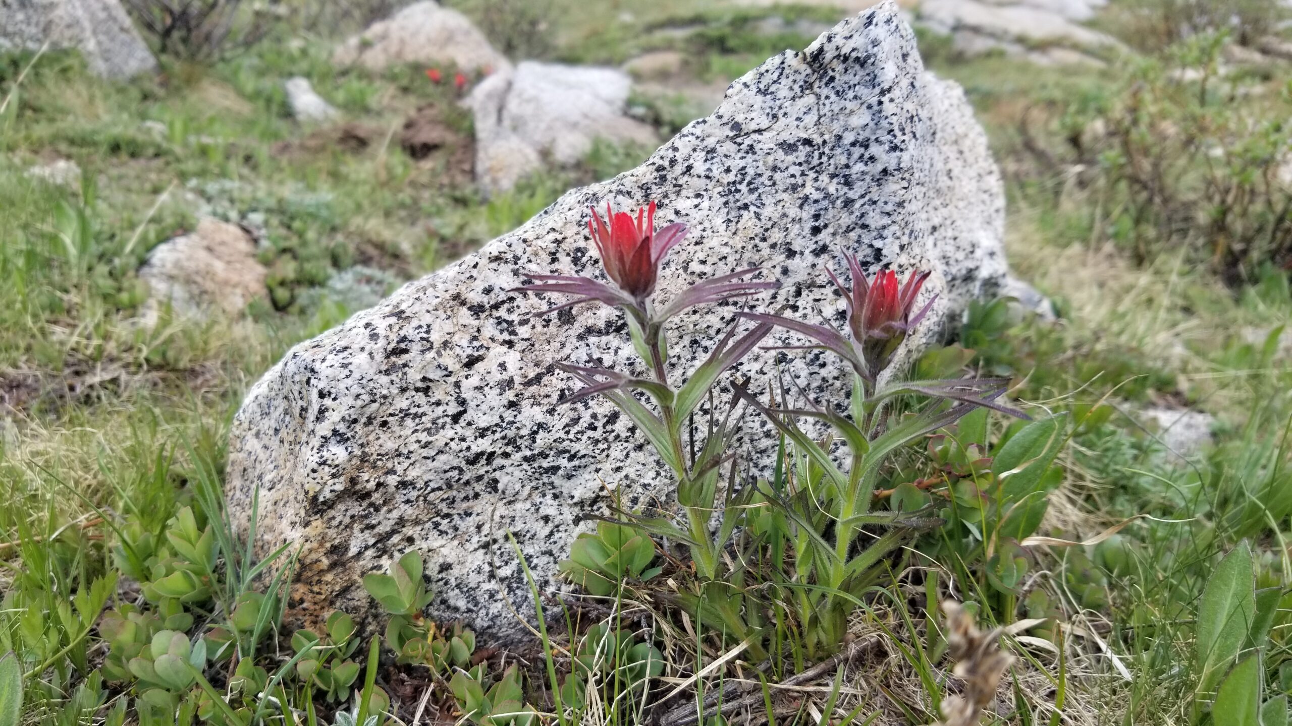
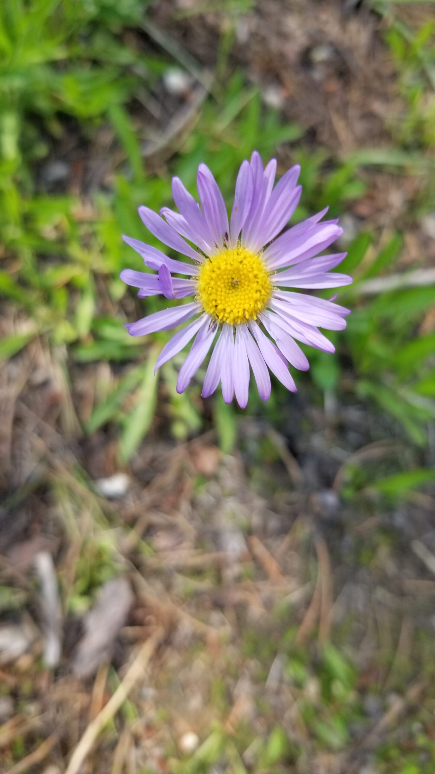
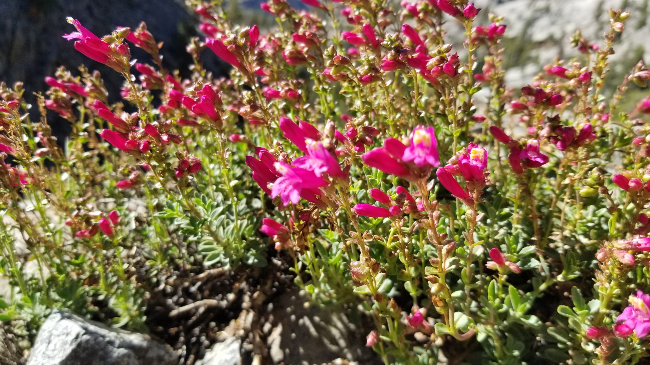
We reached Shadow Lake, it was another beautiful lake and we took it in as long as we could stand the mosquito onslaught. We headed to its inflow stream and started up the trail, following it up towards another saddle. Shadow Creek raged with glorious waterfall after waterfall after waterfall! I watched the white water swirl and buck against the large rocks, sometimes forming recirculating calm pools, other tines diving down towards the lake in a hurry with a flash of white. We climbed on sure to keep moving to minimize the mosquito bites. The trail twisted as it climbed and was lined with Indian paintbrush and purple flower tundra at its sides.
Back into the meadows belowImpressive creeks crash over the granite faces belowIzzie in the lead!
It was warm and the sound of cicadas only seemed to reinforce the hot sun beating down as we climbed. Regardless the landscape was still as beautiful as ever, and we finally popped out just above Garnet Lake. Small clear streams fed it from its sides and at the east end a small wooden bridge spanned its outlet flow down canyon.
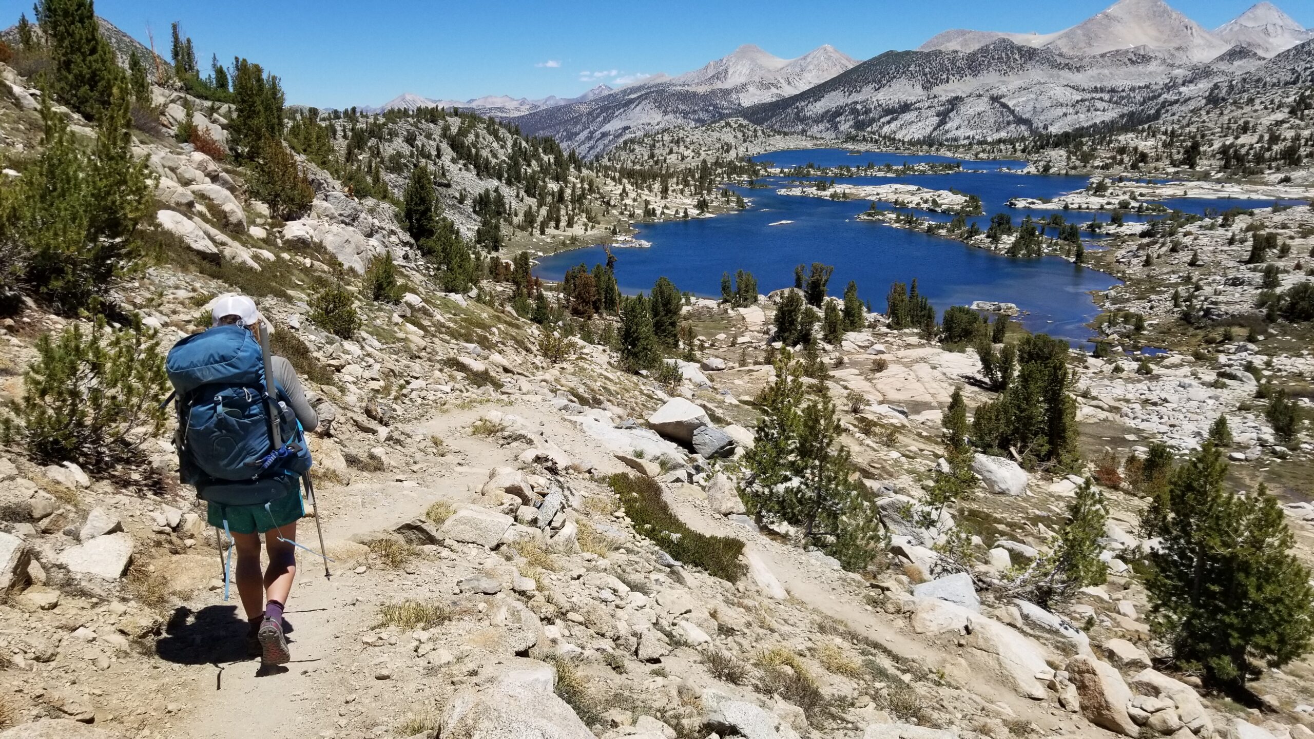
Trekking through tall treed meadowsMeandering meadows lead us to another incredible viewOverlooking Garnet Lake
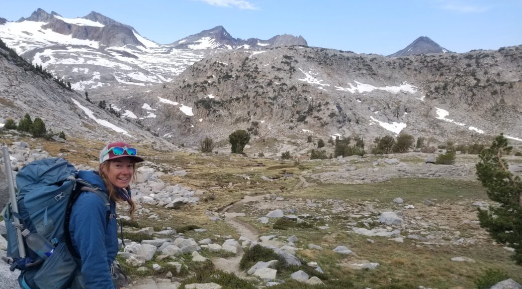
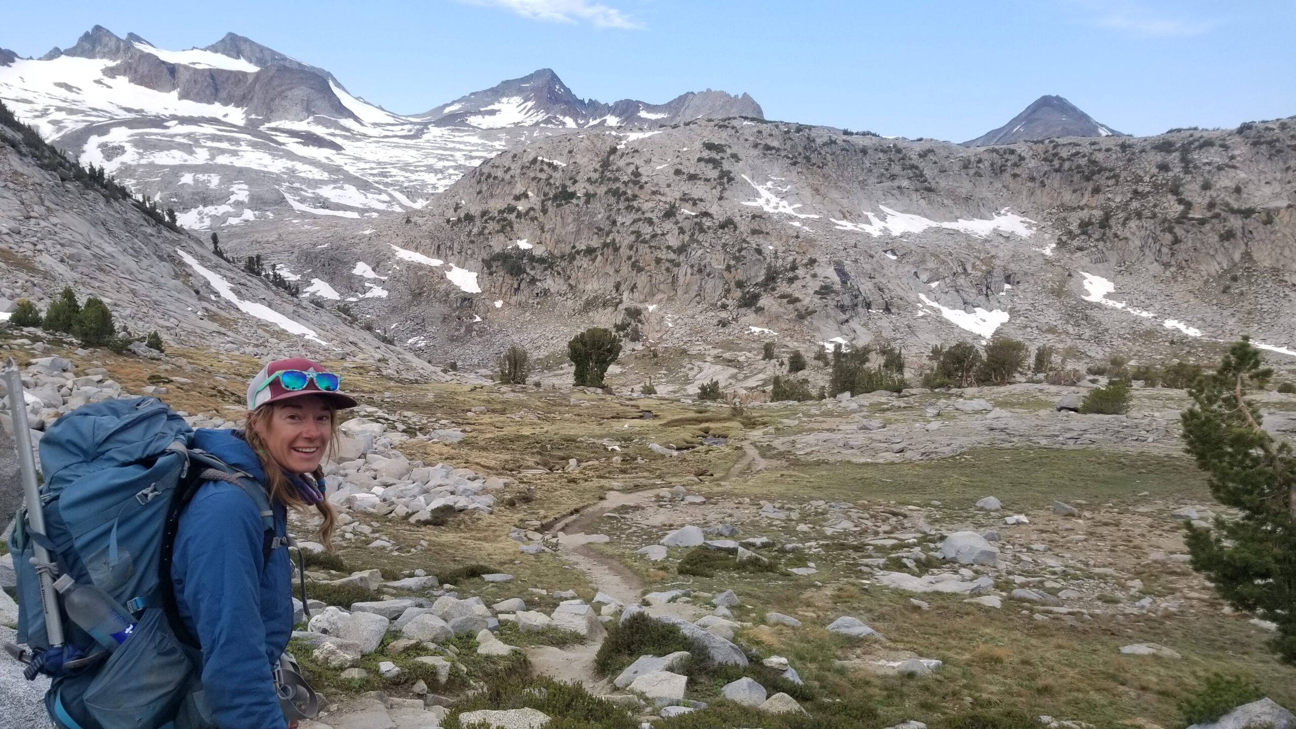
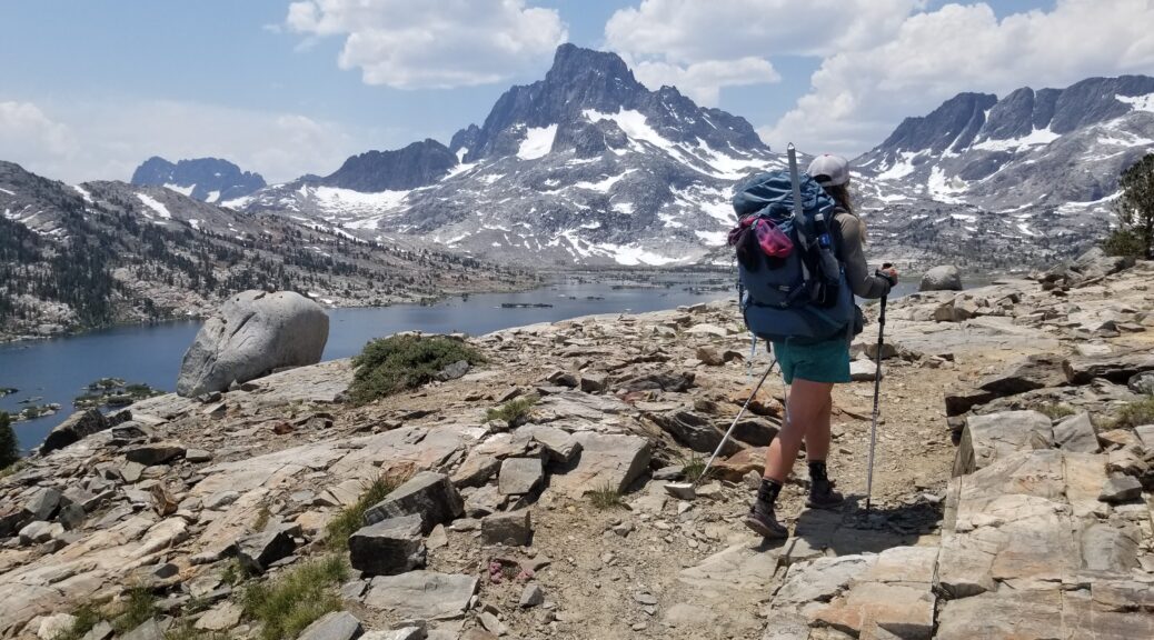
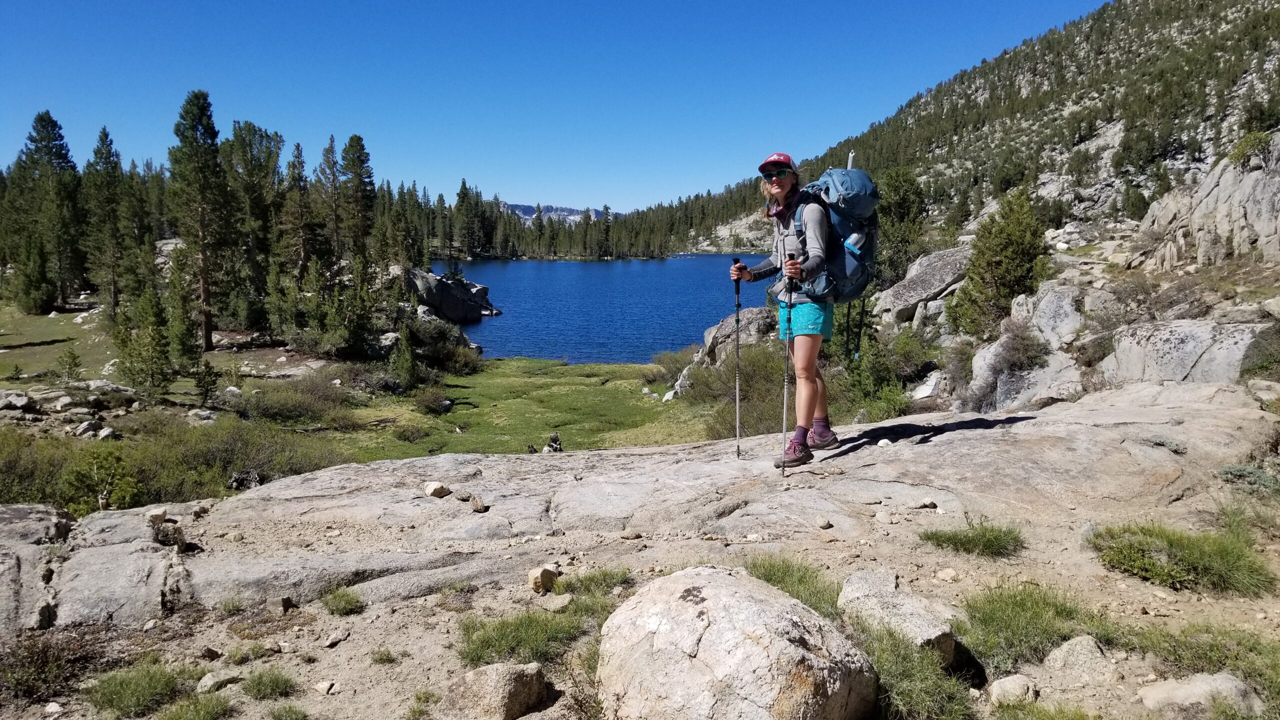
We climbed another saddle and started to drop towards Ruby Lake, then Emerald. Emerald’s lakeside rocks blasted with color, reds, browns, oranges, so much more variety than the previous granite lakes had provided. We even saw our first two mallard ducks on the trail, floating happily and gobbling up snacks from the lake’s bottom. A short climb brought us over the saddle and we finally feasted our eyes on the huge Thousand Island Lake. We stopped for a much needed dip and some lunch to replenish our hungered stomachs. The water was cold, but not as bad as some of the higher lakes, you could even take a stoke or two before running for the shore. We sat like lizards on rocks, well wrapped up lizards as the mosquitoes still hadn’t let up their barrage!
Headed down from Garnet LakeMount Davis and the Thousand Island Lake!Couldn’t pass up a quick swim!Cool crisp clean water does wonders for the soul
We finished lunch as the wind picked up and we started the climb to Island Pass. Clouds started mounting and a distant sound of thunder had us wondering if it would actually rain. We pressed on, finally finding the unremarkable Island Pass that seemed just like any other hill we had climbed before, only this one had a name. We descended down into a lush creek-laden meadow.
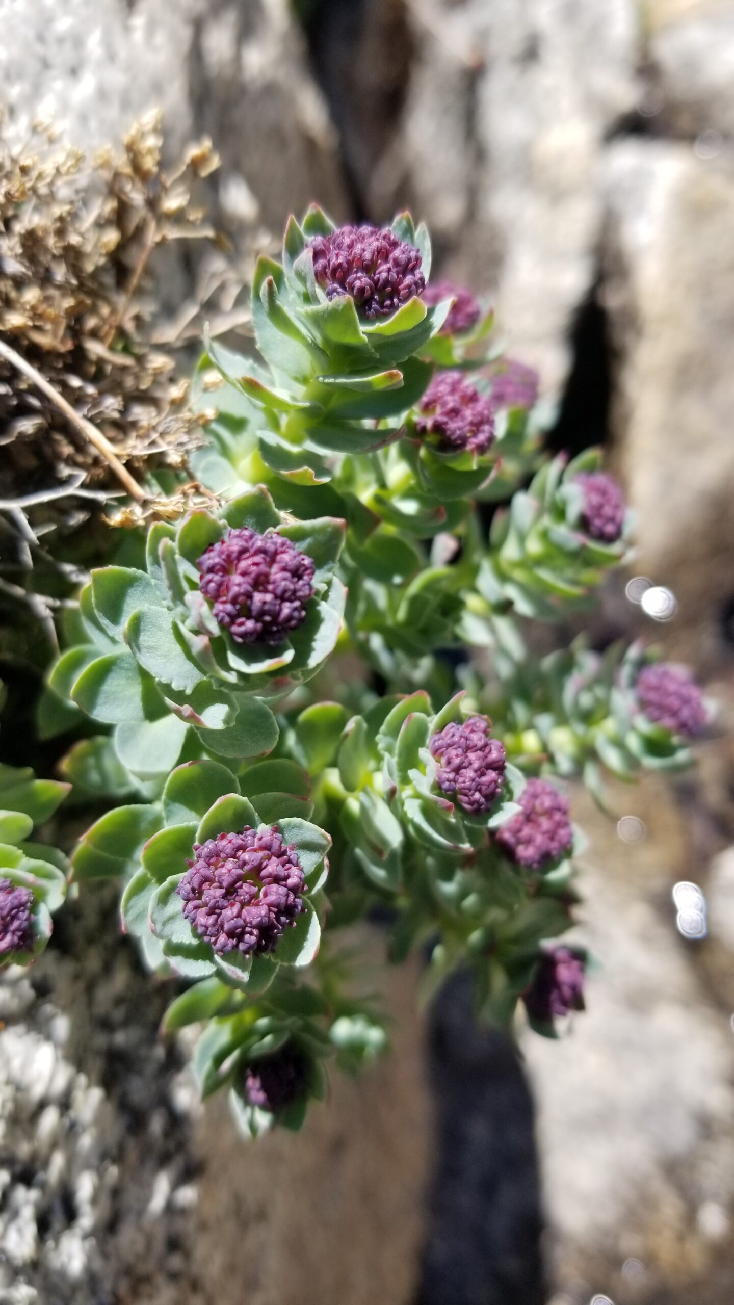
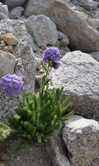
Alpine flowers are the best flowers!
Headed towards the path through the lush meadowsUp we go!
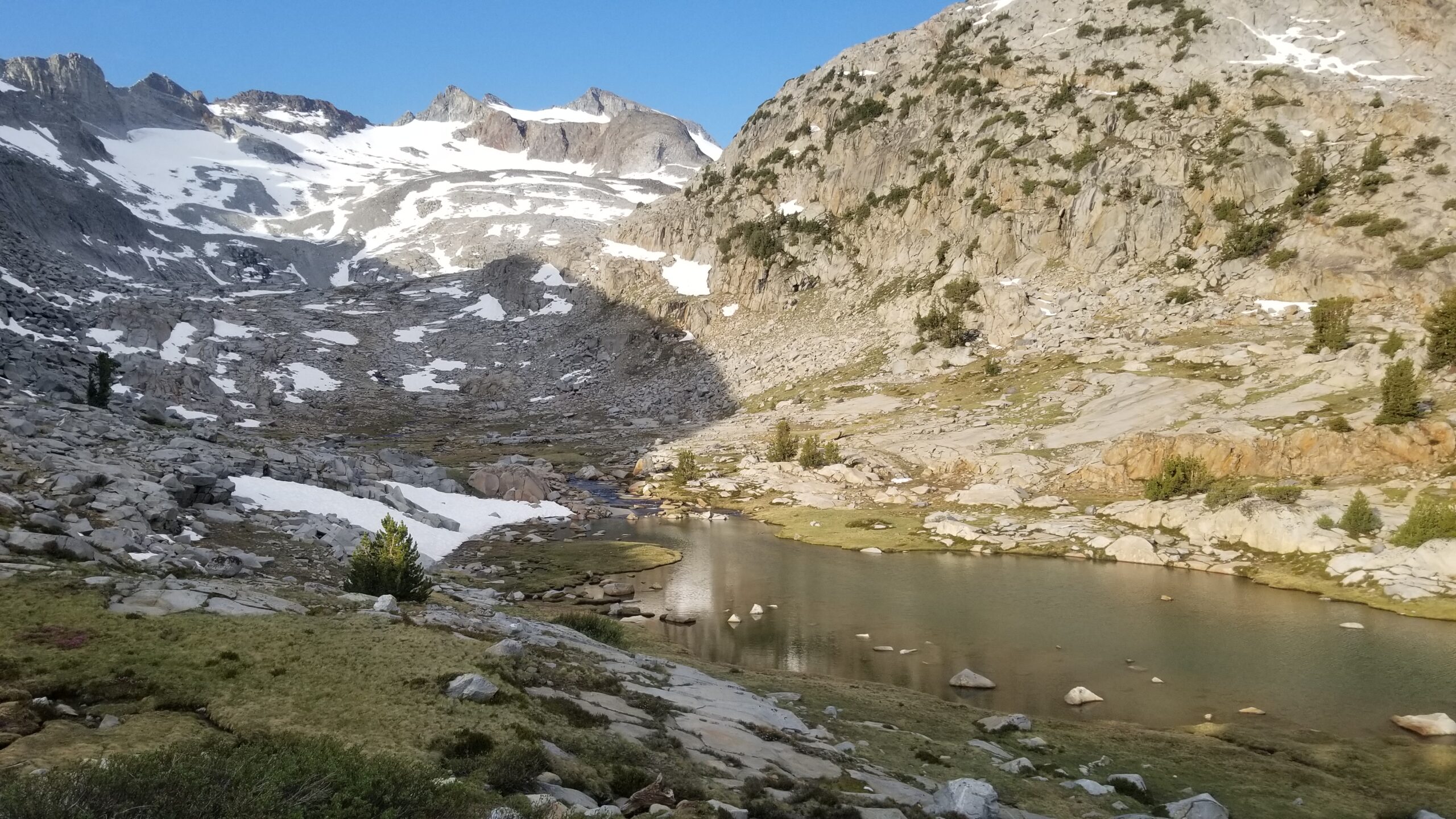
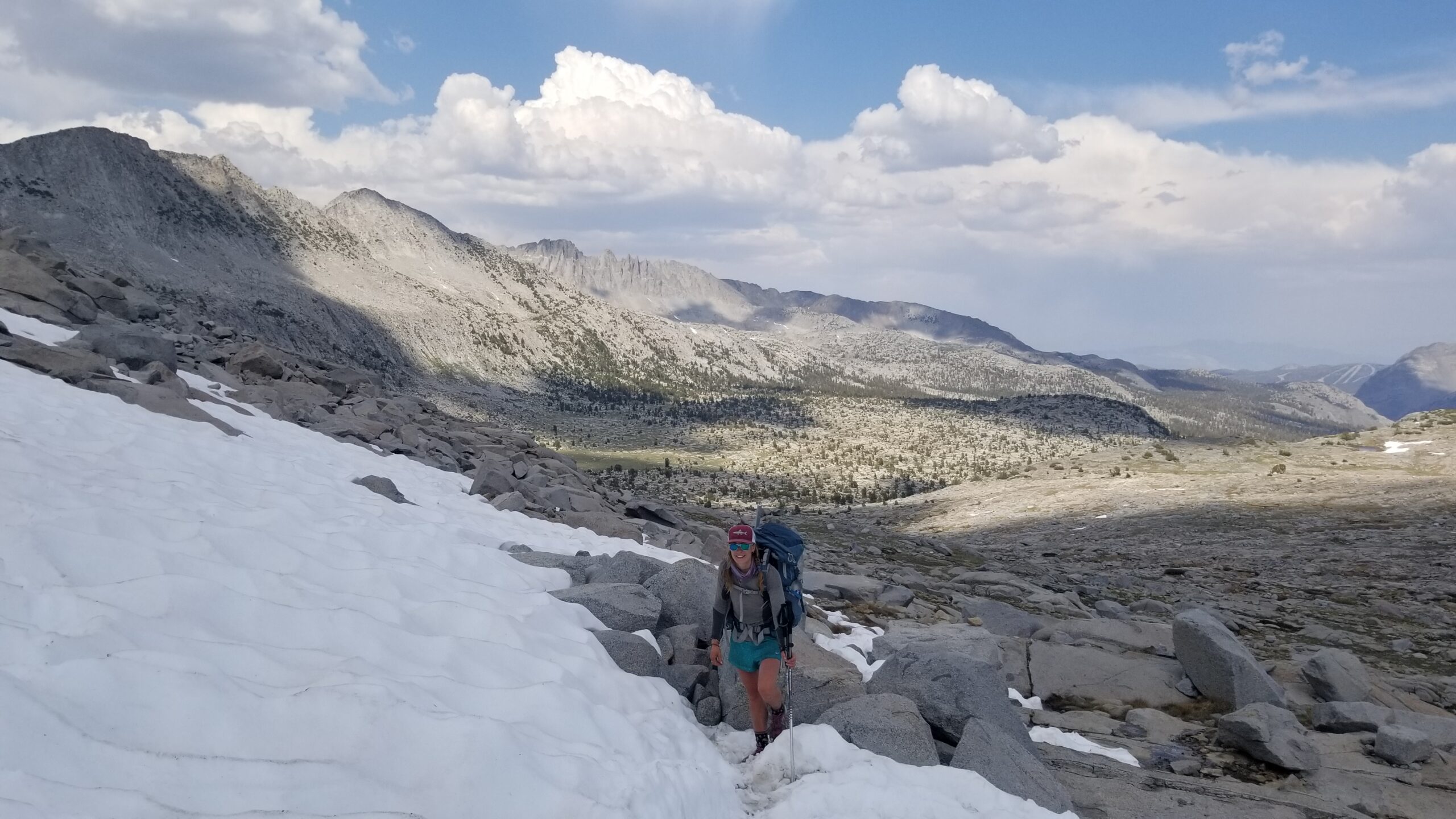
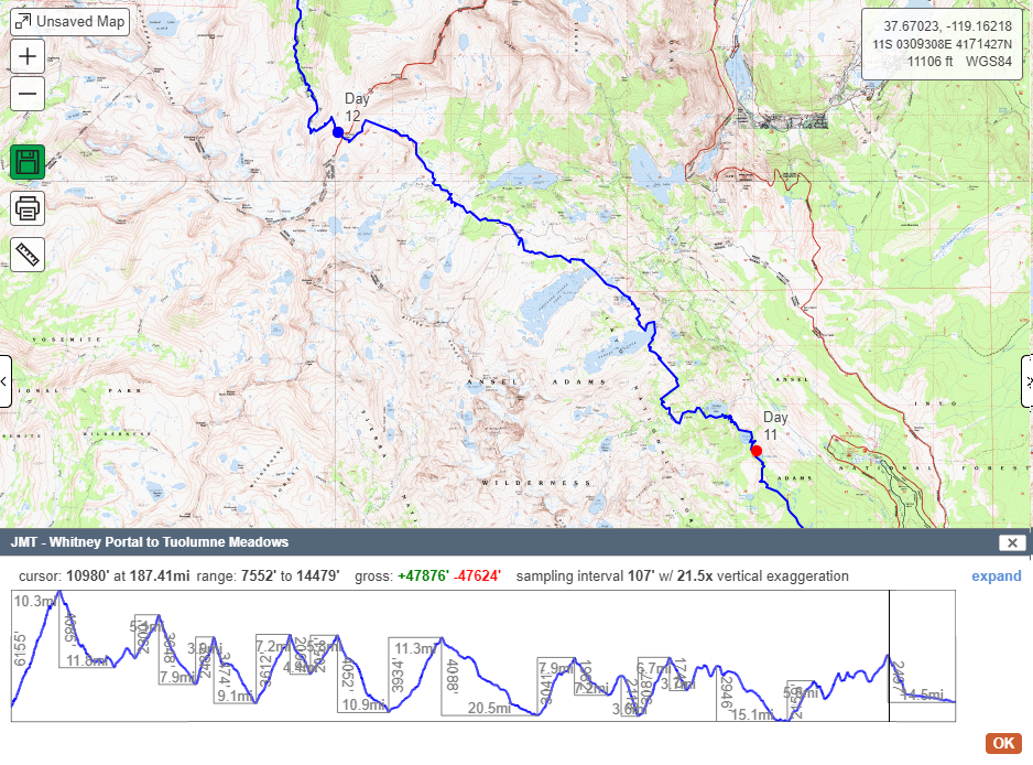
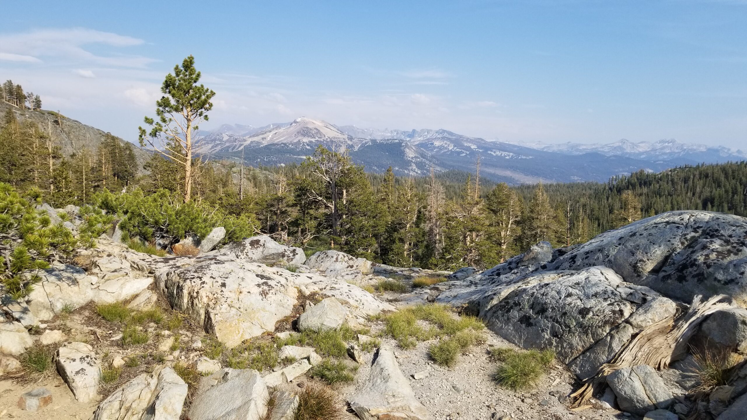
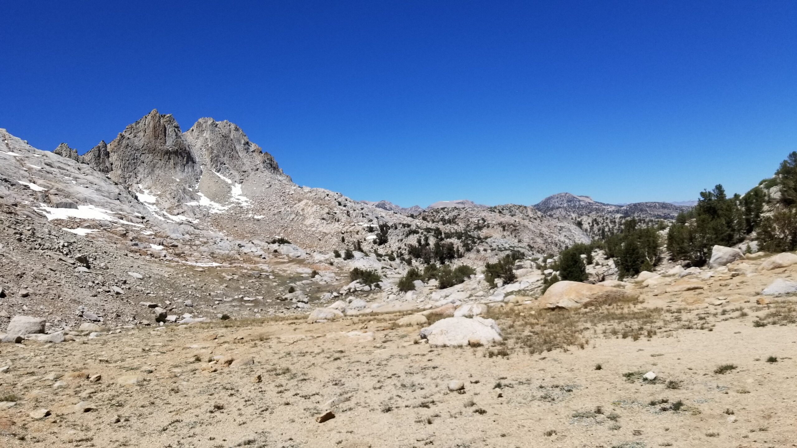
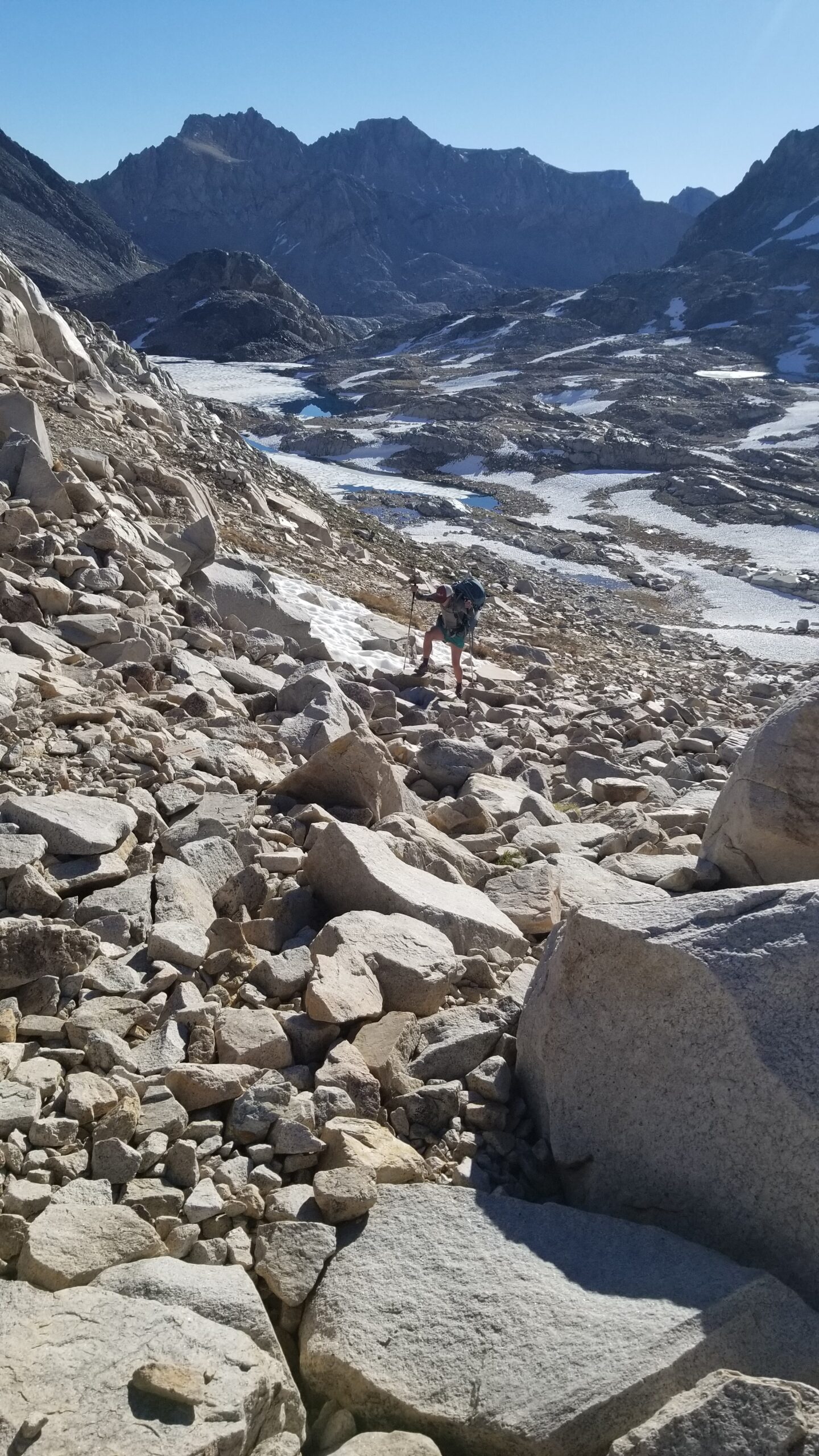
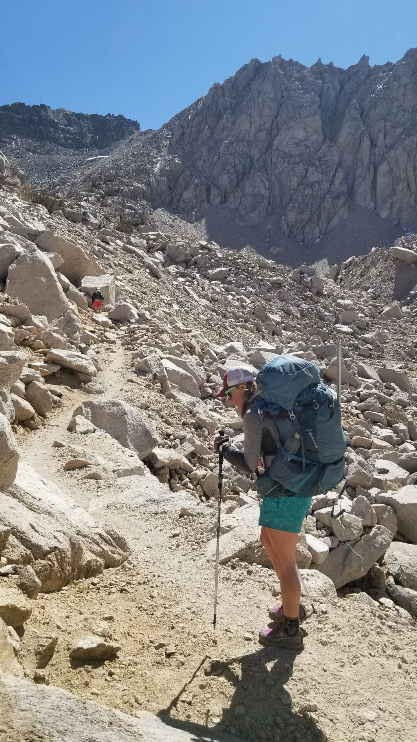
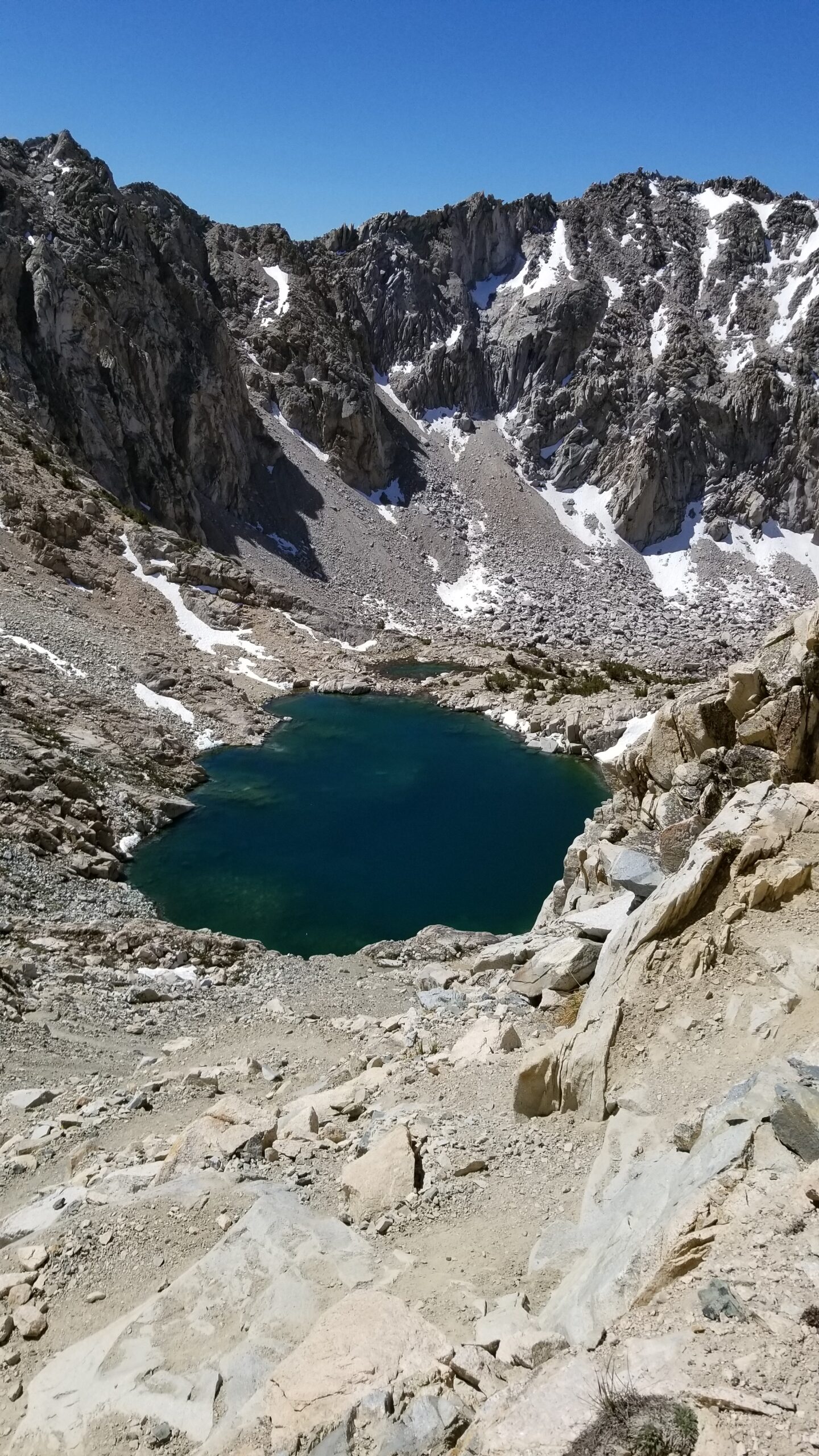
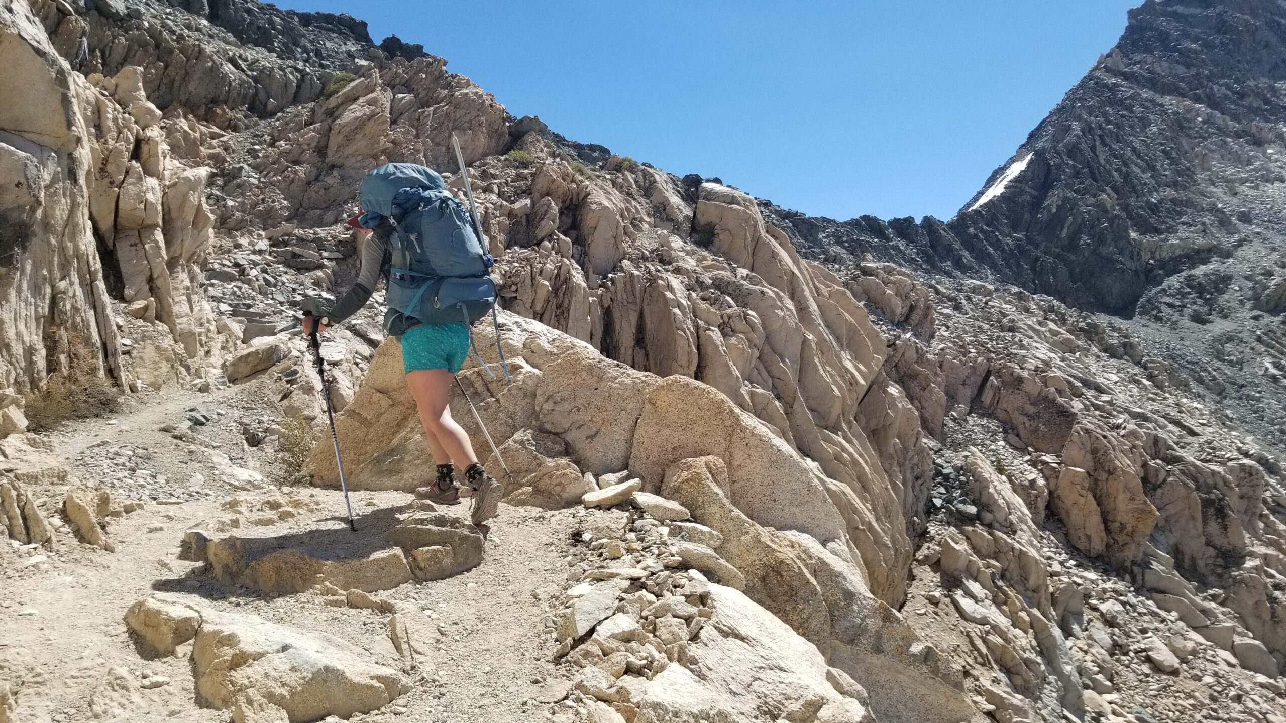
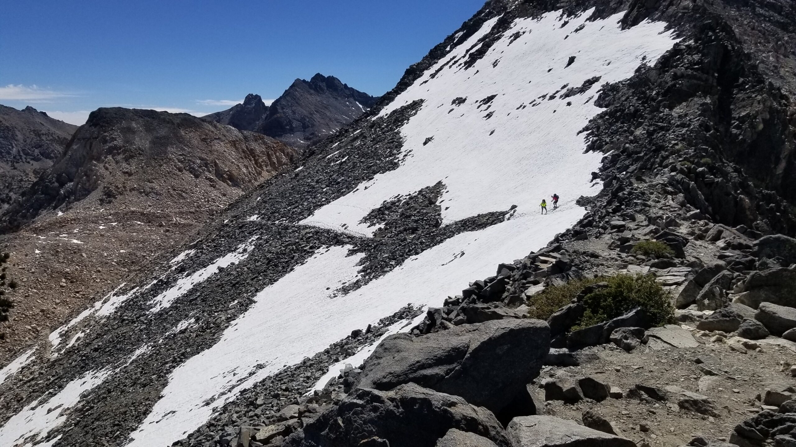
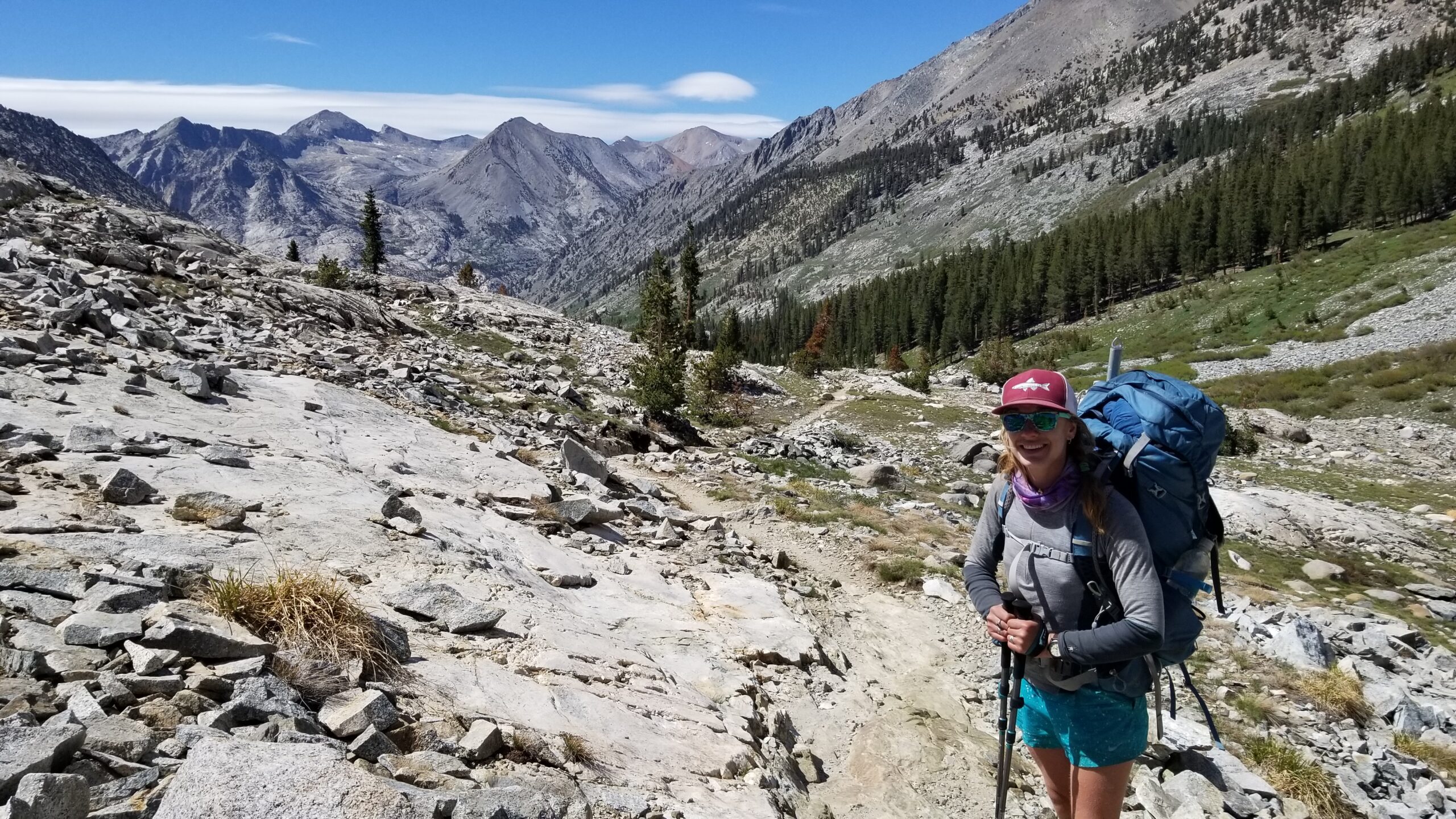
At last, the long walk up Donohue began. The clouds rolled in, and the wind picked up, which we were grateful for in the afternoon heat. The creek crossings left us thirsty for a rest but our work wasn’t done. We climbed on up, up, up into the alpine leaving the trees behind. Crystal clear runoff from snowmelt crossed the trail from time to time and sometimes the trail itself became a creek. We labored on, seeing a few backpackers in the distance. It gave us a little motivation to get moving, step after step we climbed, a light rain spattered on us for a brief moment, cooling us momentarily, but we pressed on, having no stop in mind but the top of the pass. We hit snow patches and finally after hours of work, we found the view down Lyell Canyon from Donohue Pass. Lyell was the final stretch home to Tuolumne, and we took a moment to soak it in.
Clouds are really showing as we push closer to the pass!Made it to the top!Surprise lakelets!
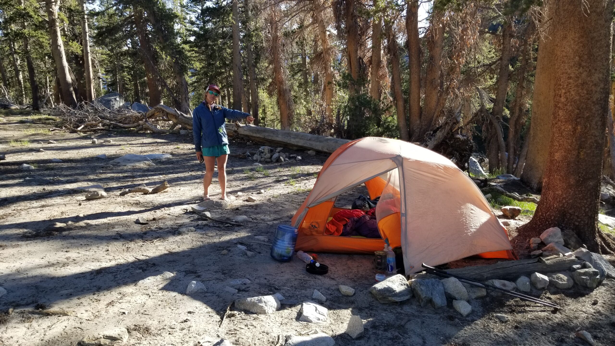
We filtered water for our dry camp and hiked down to find a nice spot for putting up our mosquito refuge and a well deserved hot meal. We hadn’t hiked as many miles as we had trekked on previous days, but this one seemed to really have gone to work on us and we were glad to rest. Nevertheless, we found a beautiful sandy pad with a great view from our camp for the night. I hope I don’t dream of mosquitoes . . . .
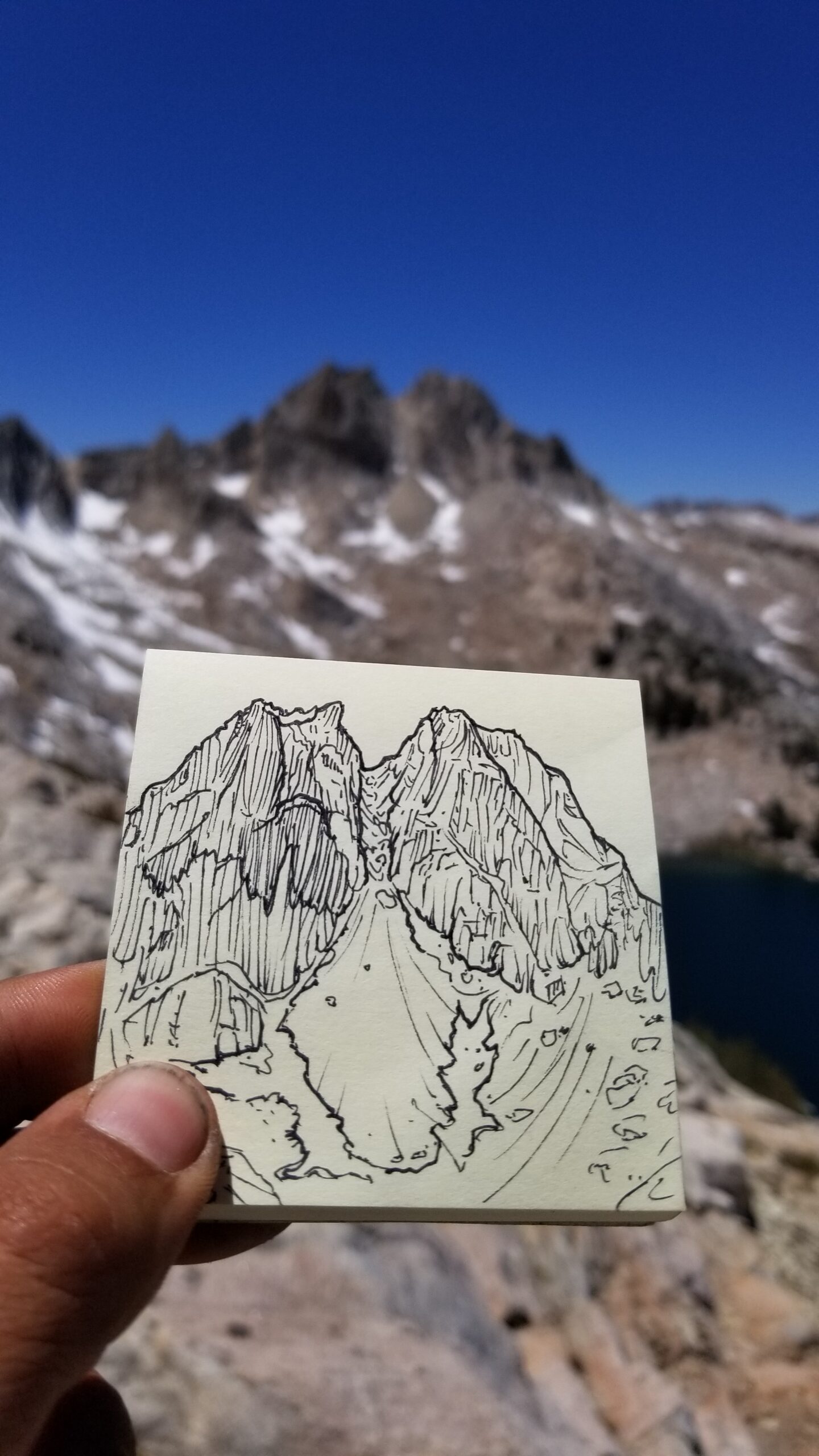
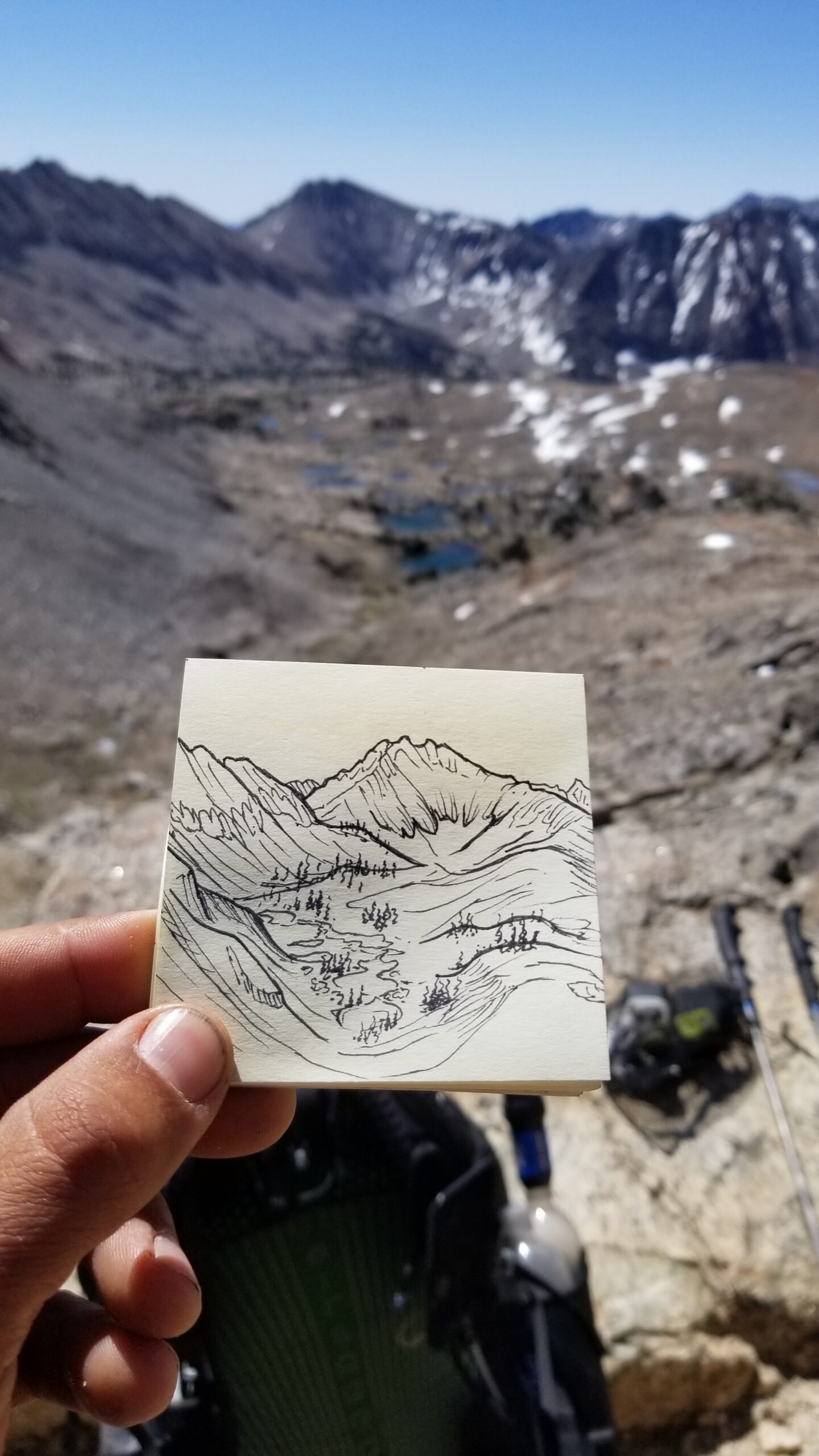
Found a little time for an end of day sketch!Gotta love little surprises!
We woke in the hotel a little later than usual, it was nice to sleep in for once and enjoy the soft cosy bed! The nearest breakfast diner didn’t open until 7 and the first trolley up the mountain didn’t leave until 9am. Felt pretty lazy in comparison to any other day on trail, but none the less we packed up our things, strapped on our shoes and packs, and left the hotel before they even opened the lobby.
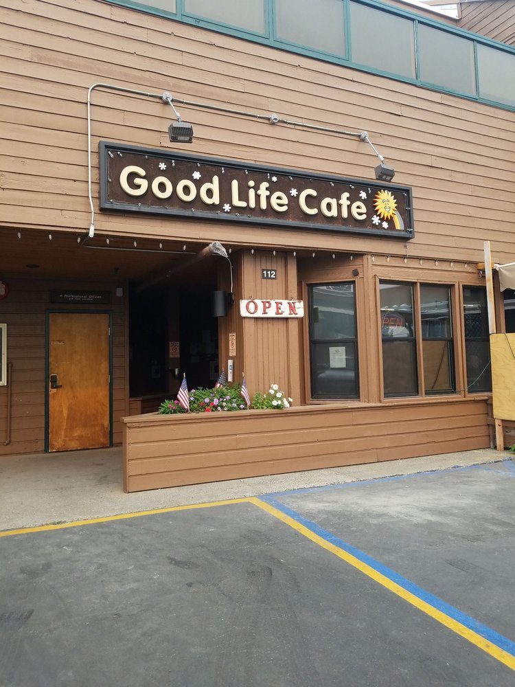
The Good Life
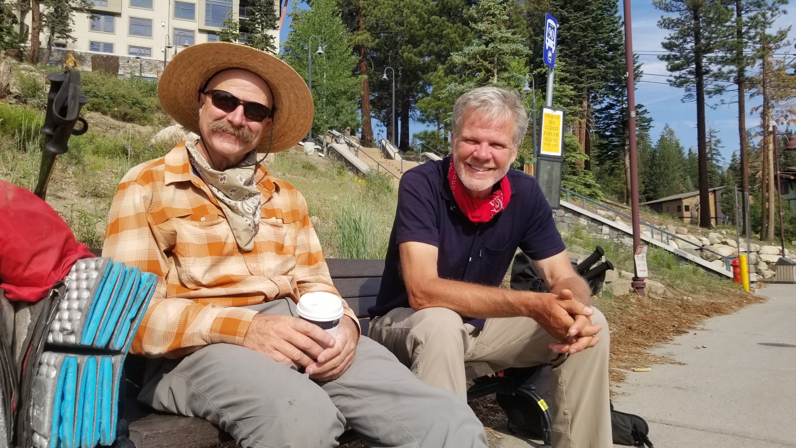
We hit up The Good Life for breakfast and stuffed ourselves to the gills before rolling our satiated bodies to the nearest bus stop. We hopped on the first line early, then as we walked to our changeover we met Cowboy Dave and Tristan sitting happily on the bench waiting for the trolley to take them up the hill. They were both delightful, both retirement age, but so full of life, energy, and charisma. We chatted on about where they were from, what challenges they have faced, where their favorite town eatery was, and of course let them in on our JMT plans and hopes to finish by the weekend.
Cowboy Dave and Tristan
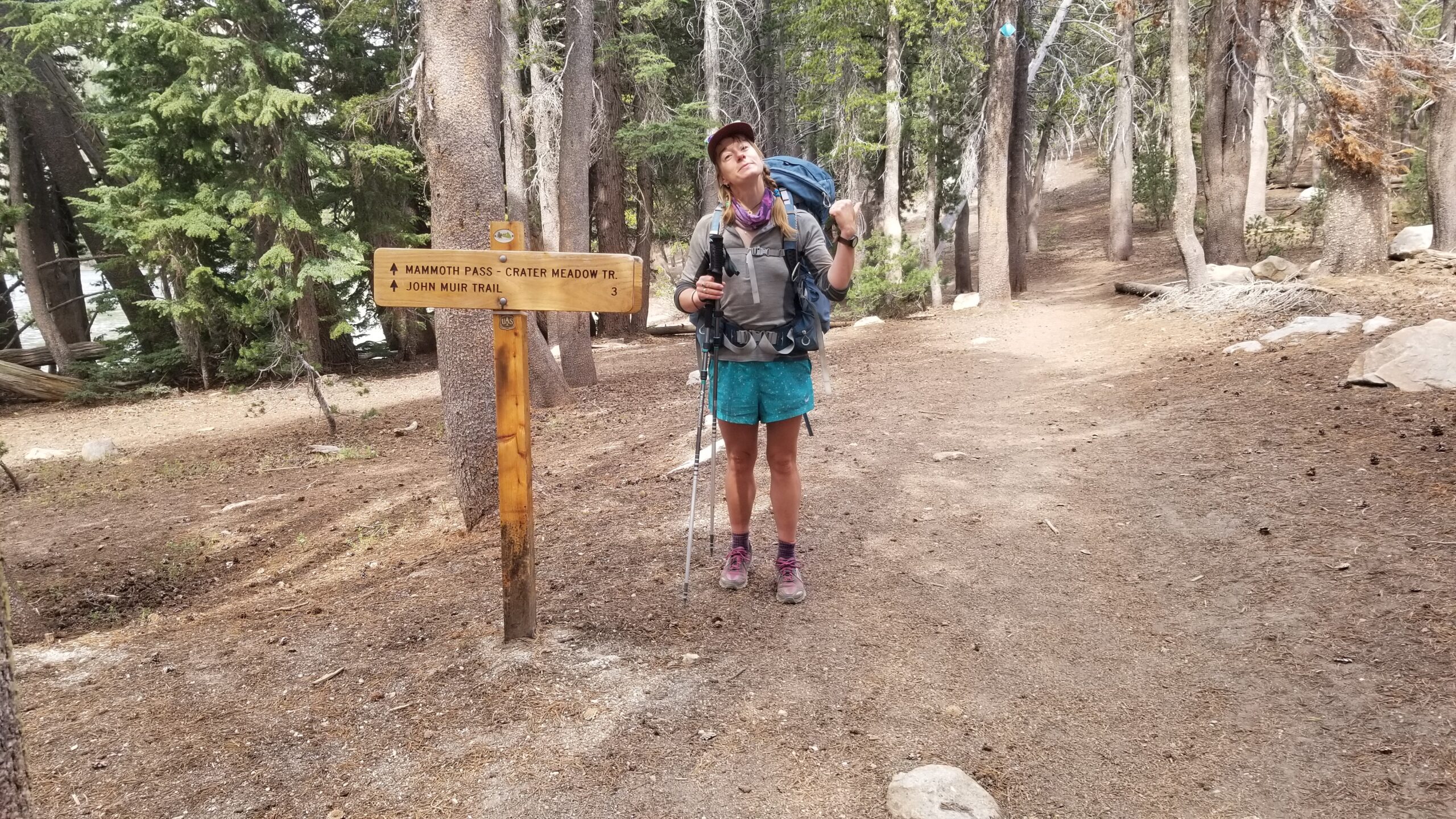
We all got off the trolley at Horseshoe Lake after a chat filled ride. The sky was overcast and there were a whole horde of hikers waiting to get on and head into Mammoth. We bid them adieu and started trekking up towards Mammoth Pass for the 3 mile connector trail that would take us back to the JMT.
Time to get back to the trail!!!Back in the Wild!
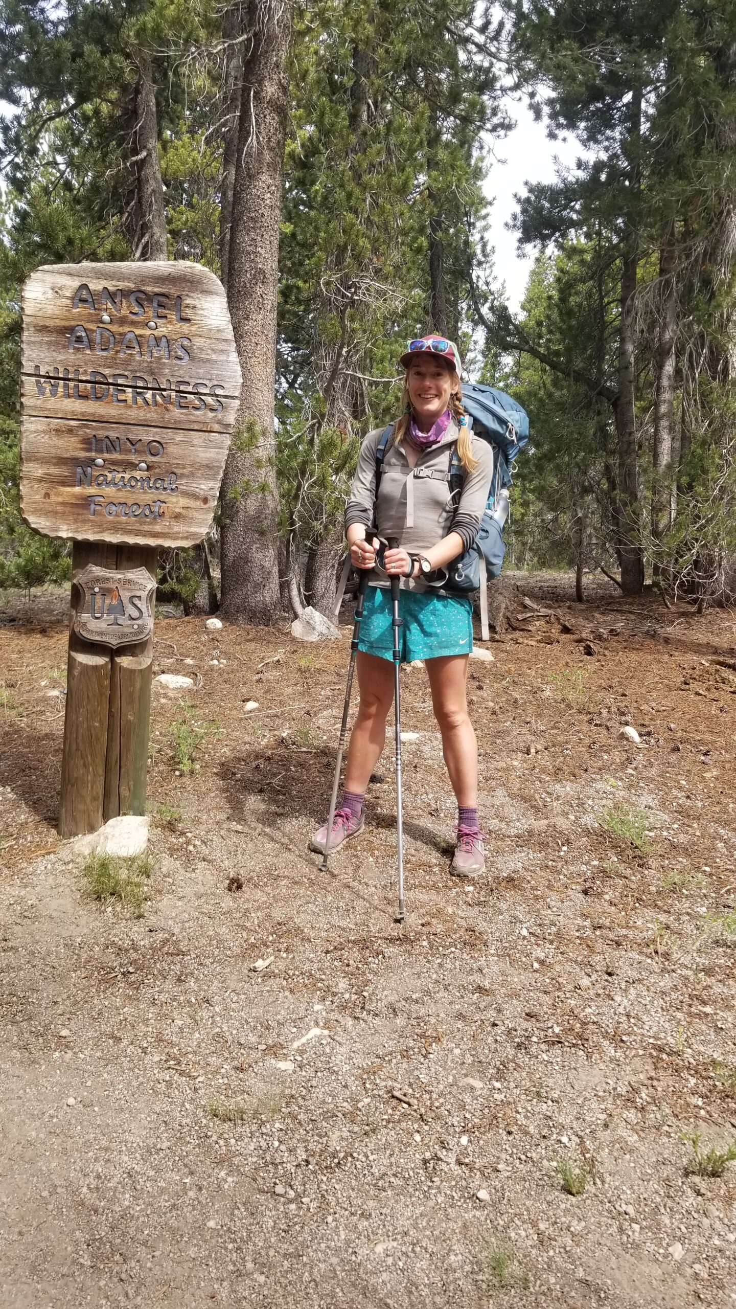
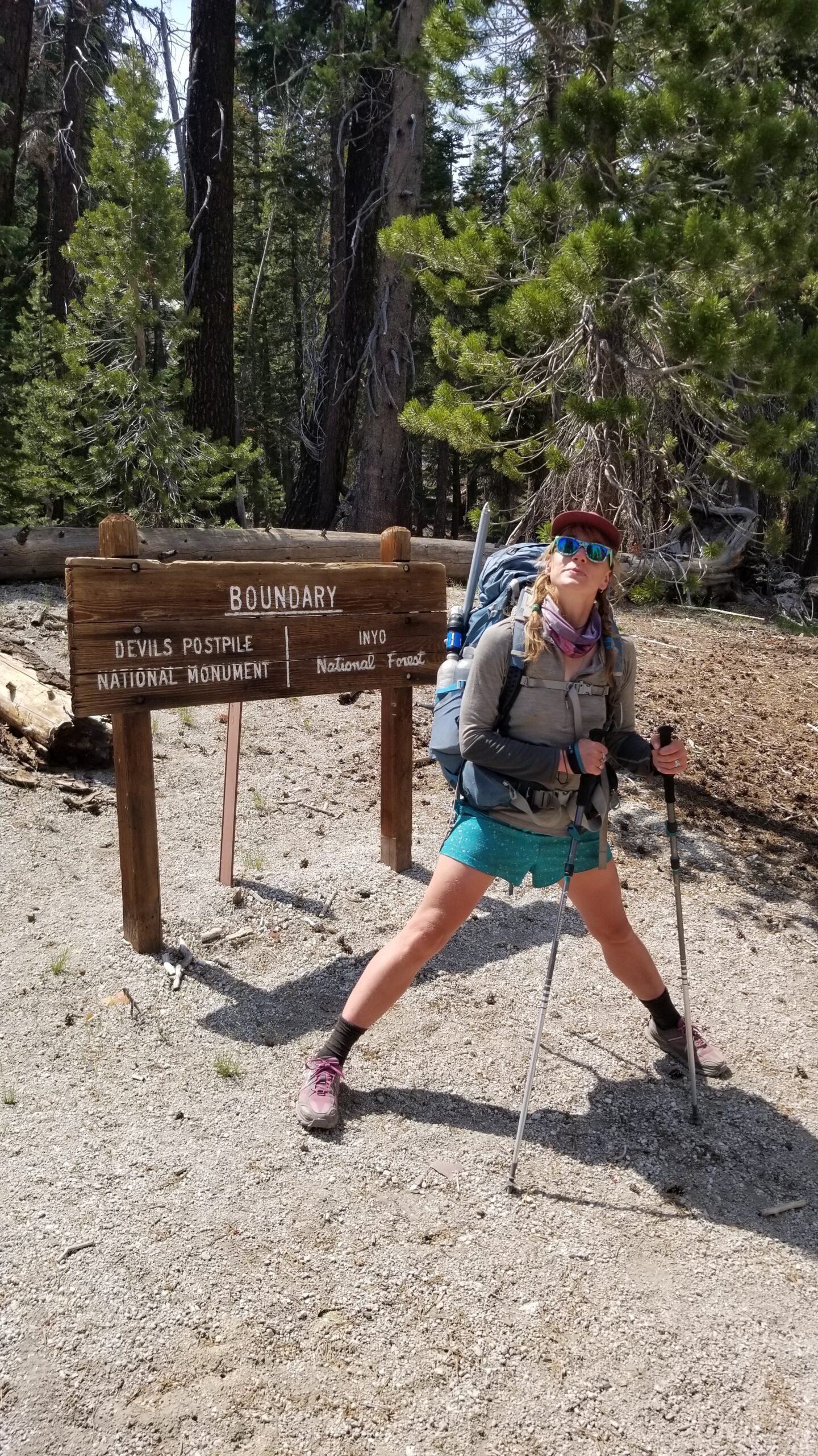
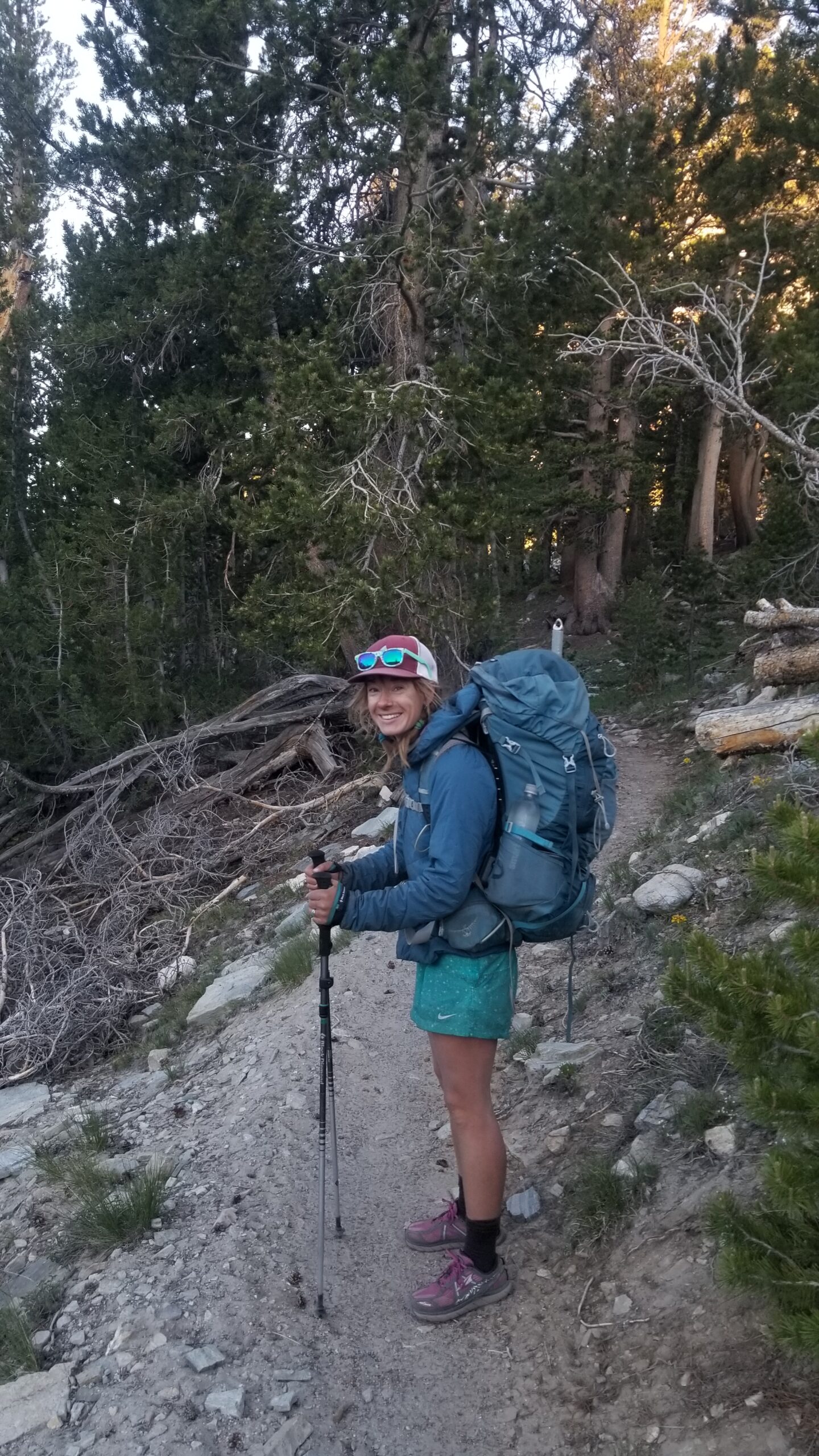
For those of you who are keeping score, you will notice we hiked into Mammoth on the Duck Lake trail which was our fastest route into town so we could be sure that Izzie was on time for her interview, however we came back out the Horseshoe Lake trail. This means we will have missed 7 miles of the JMT. We both made peace with this decision. It was nice to come out a different way than going in to see new trail and we had already made up the difference in off trail miles, plus I did the whole purist mile thing on the PCT in 2018 and Izzie was more interested in the experience and enjoying herself than counting every inch of the JMT. Plus we had already decided not to go down into Yosemite Valley and instead finish in Tuolumne because we didn’t want a beautiful wilderness adventure tainted by a gridlocked tourist infested trail system.
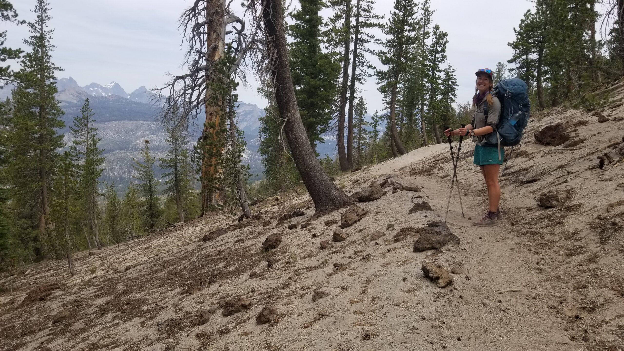
Beautiful red hills coming on, the landscape is changing from the typical Granite everywhere!Two tree trunks!Wonderful jagged ridgeline in the distance!
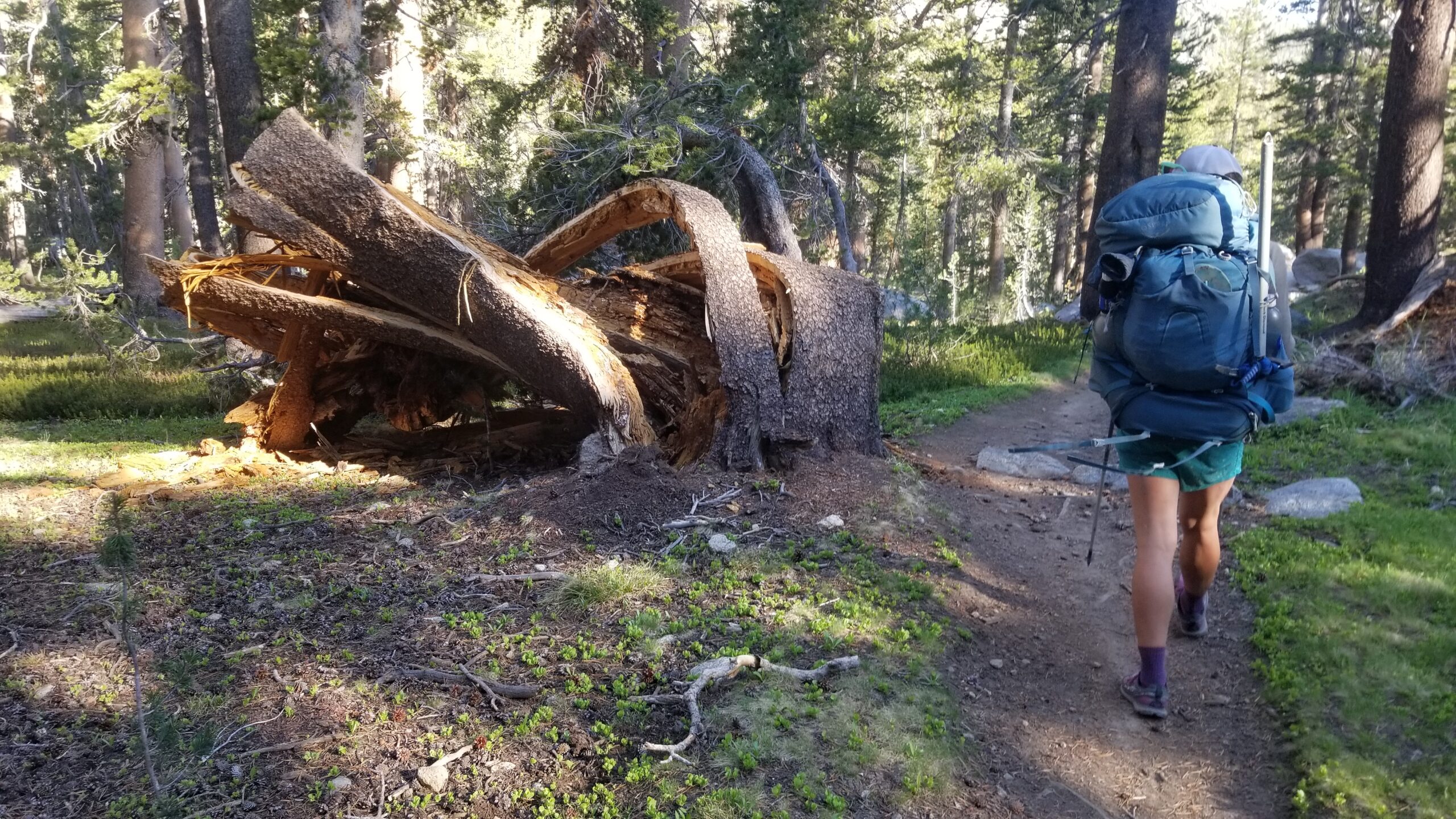
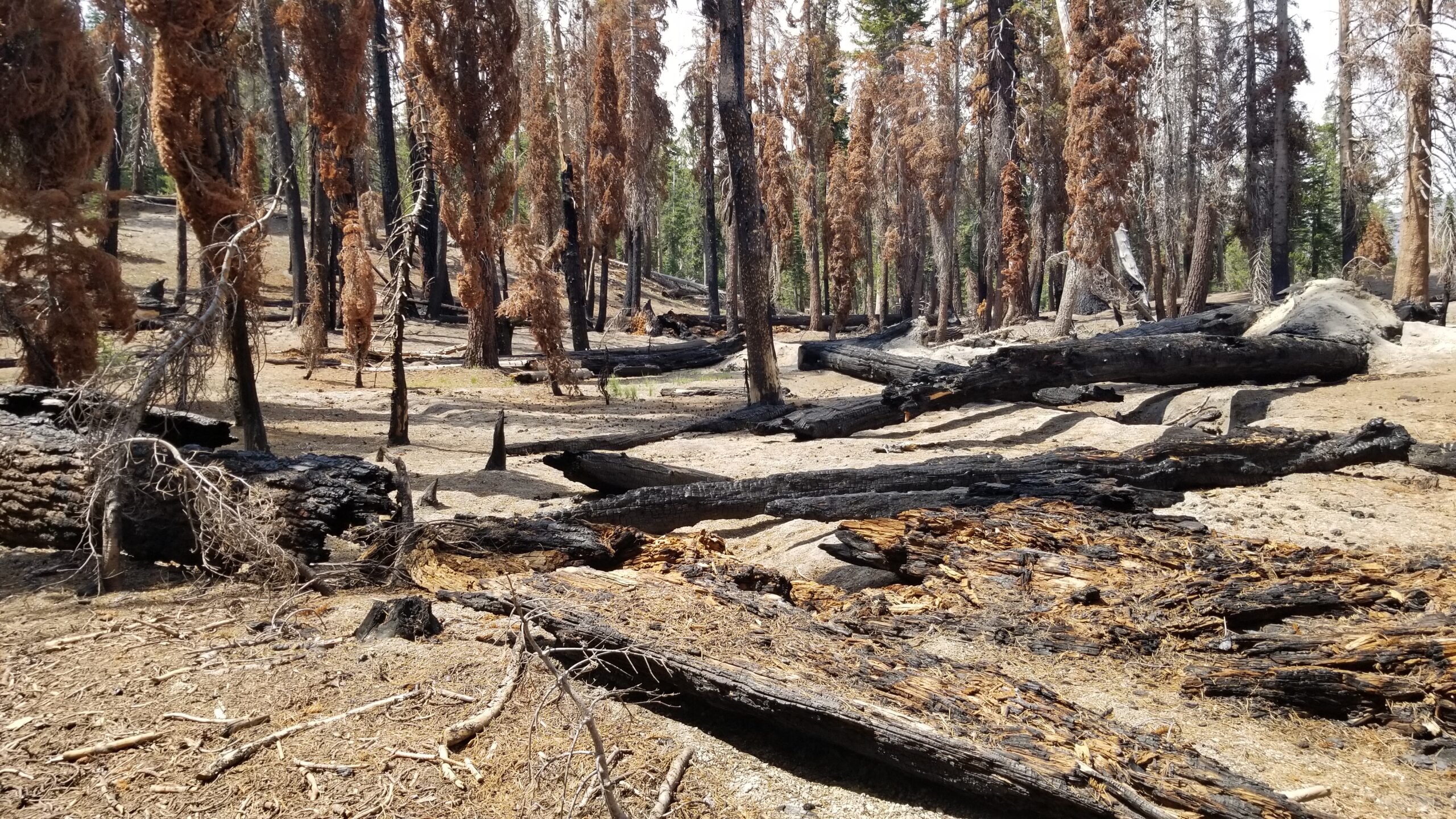
We chatted on with Cowboy Dave and Tristan the whole 3 miles of the connector trail, and when we joined back with the JMT we were all happy and relieved to be back on trail. It’s like an old friend that needs a little care, you almost worry something has happened to it while you were away. We trekked on and a red cindercone came into view to the north. We skirted it and dropped into a green lush meadow at its base. We continued to descend and saw that a strong windstorm had felled a path of carnage through the forest and cracked a huge swath of trees in two, leaving a jagged sea of stumps to walk through. It gave a morose mood to the already overcast grey sky.
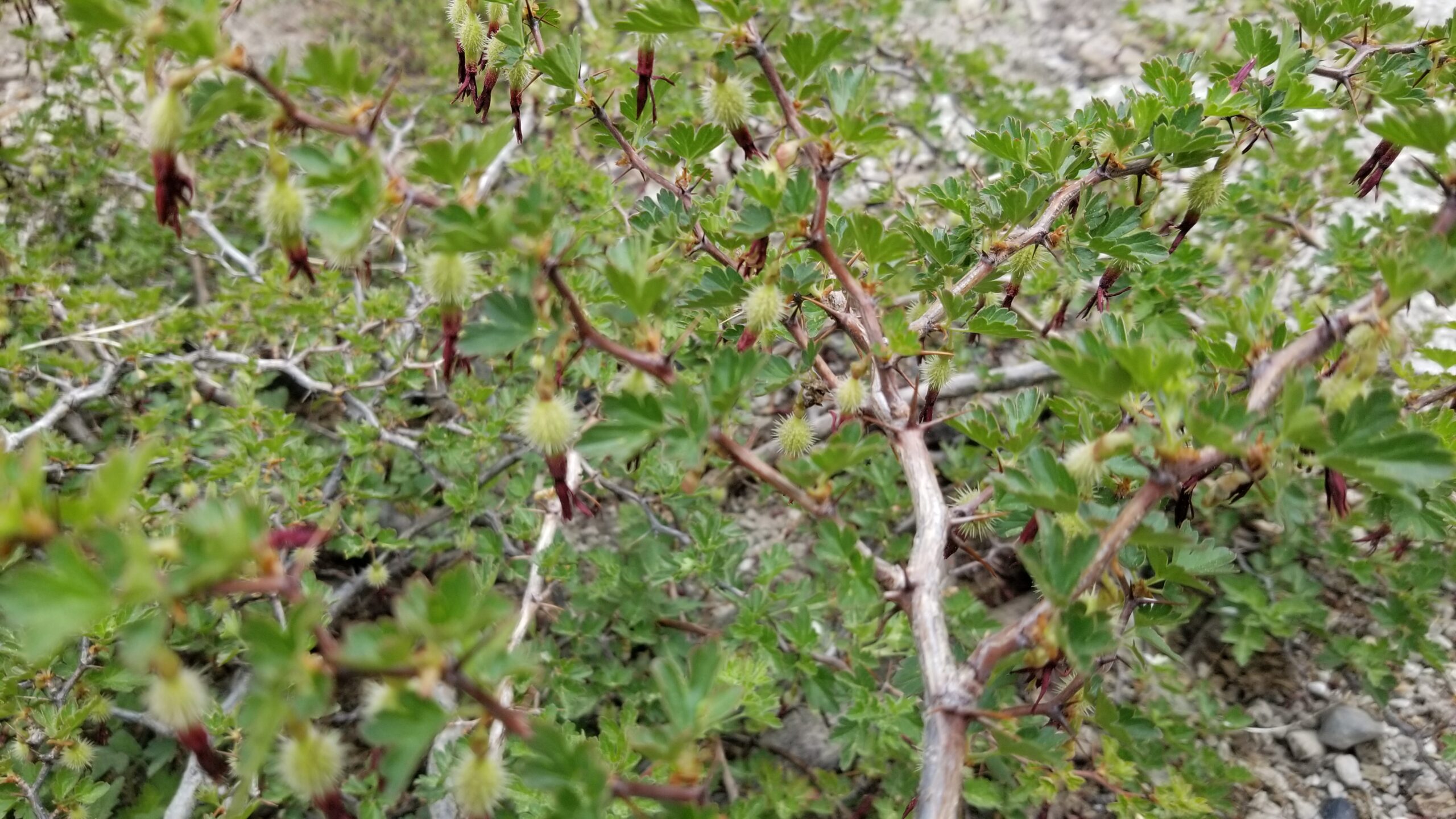
Spiny!Trekkin with Cowboy Dave and Tristan
There were a few patches of lush green life in the tree graveyard. We found monkeyflowers and mosses clinging to lush creeks, and gooseberries just starting the first stages of plumping up their hairy fruits. Amongst the windblown downed trees we found regrowth starting. Small saplings had sprouted up and grasses and flowers had begun to cover the ground again, bringing hope of new life to come.
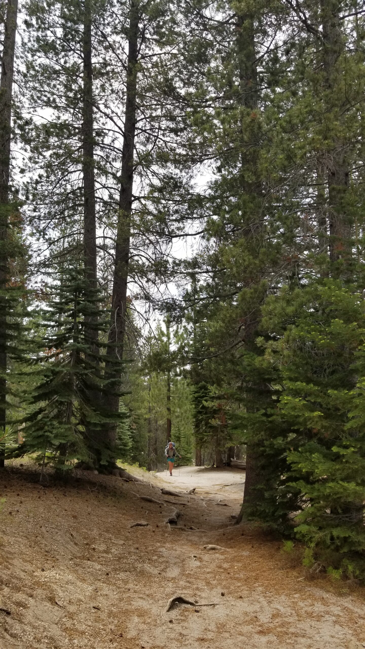
Tree graveyardIzzie on the move
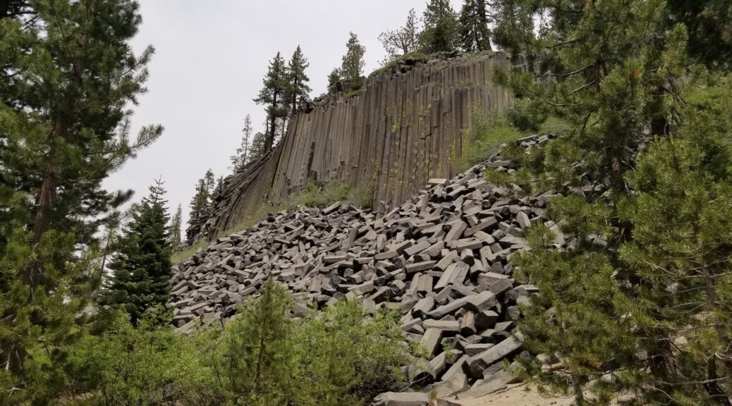
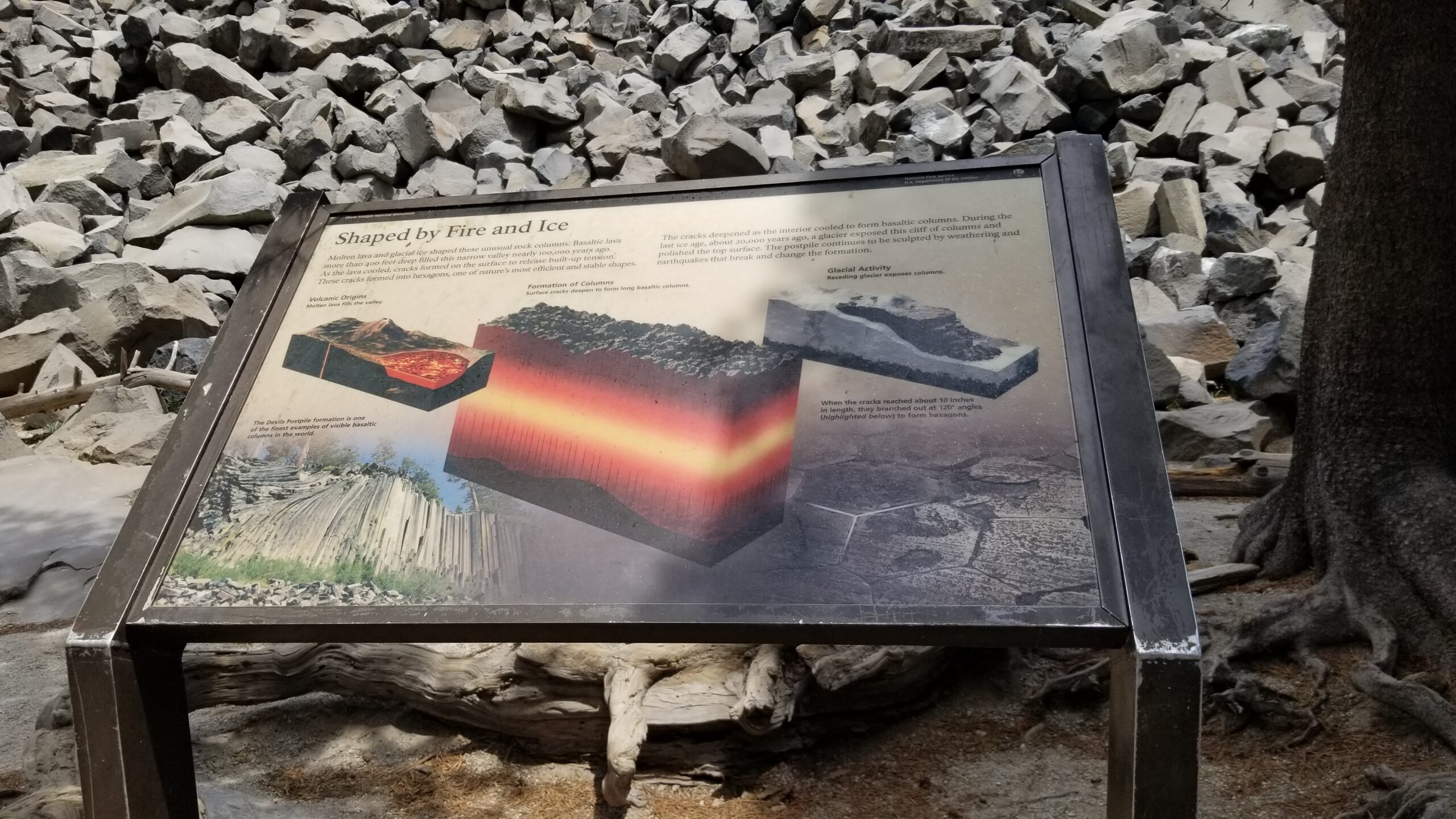
We neared Devil’s Postpile National Monument and the Jeffery pines and aspen started to take over the basalt bedrock outcrops that started to appear. We snaked through the padded paths until finally we saw the signs and the huge 70 foot tall formation of basalt columns, perfectly fitting together like honeycomb, that they call The Devil’s Postpile. Cowboy Dave, Tristan, Izzie and myself stopped to have lunch and take in the strange and beautiful formation.
The Post pile!Geology is fun!
After stuffing ourselves again we waved goodbye to Cowboy and Tristan as they headed back to the PCT and Izzie and myself decided to climb to the top of Devil’s Postpile to get a better look. The top was slightly domed and smoothed over, scraped flat by a glacier long ago. It looked like an armadillo’s back where all the tops of the basalt columns came together like interlocking scales. After taking our time and appreciating it, we pressed on. But not before taking a quick dip in King Creek just before the edge of the National Monument!
Armadillo back?!Izzie spots water!Much needed creek time
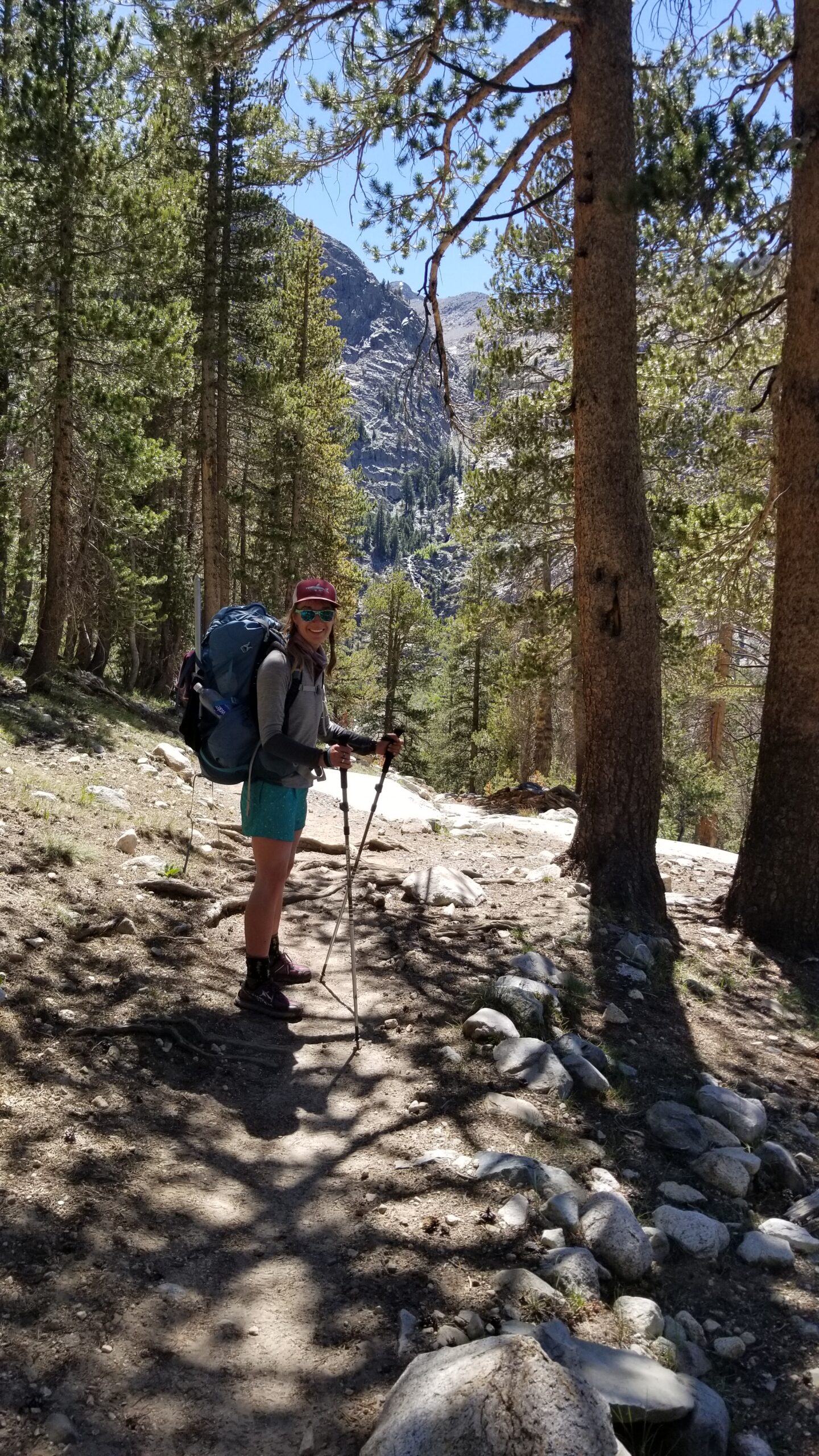
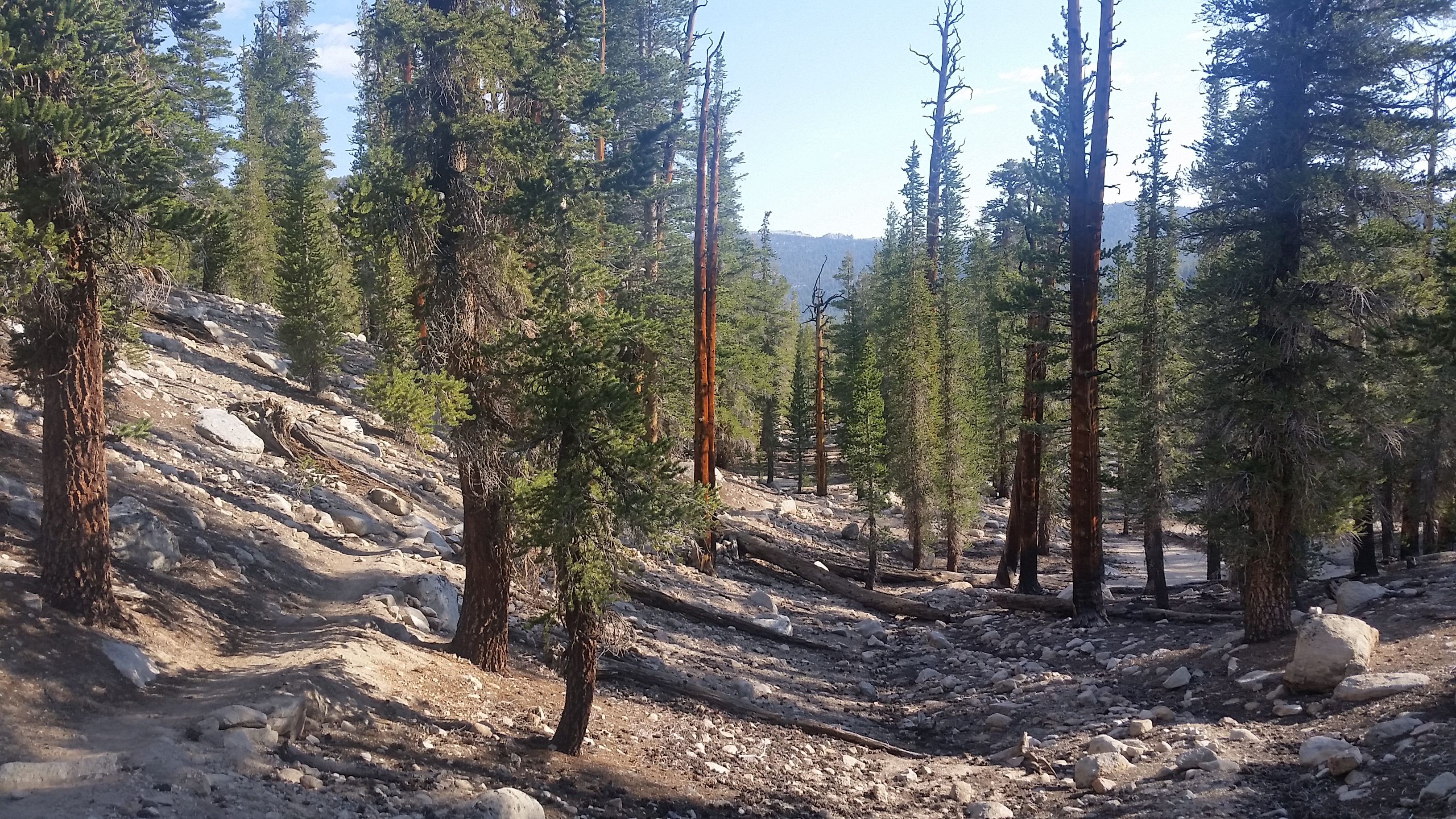
We soon found the segment of the JMT which totally diverges from the PCT and scales its way up a ridge to some alpine lakes. We started climbing while the sun started beating down on our heads. Only a half mile in we met a Forest Service employee doing some trail work. She levered a boulder from the side of the trail into position for a new step she was creating. We thanked her for all her work and kept climbing!
So many places at once!
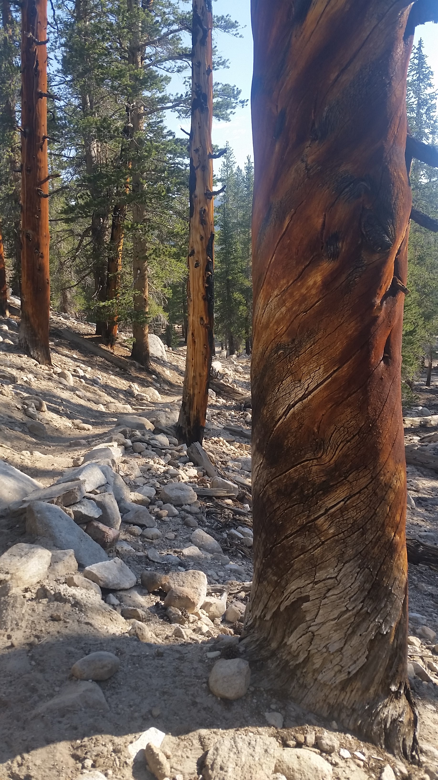
The forest here seemed to be predominantly fir trees, and many of them were downed by either wind or root rot. Chunks of dried tree limbs like fragments of kindling riddled the understory of the forest and the edges of the trail. In the distance we could see a jagged ridge like shark teeth standing dark and strong in the distance, with Iron Mountain standing prominently from amongst the Ritter Range.
As we continued to climb we found the first stagnant lake and soon were mobbed by a gang of mosquitos. Little did we know that this first incursion was only the first salvo with respect to the mosquito hordes that awaited us at higher lakes. We climbed on in the hot afternoon and continually were attacked. Legs, face, butt, hands, neck, cheeks, arms, nothing was safe. Izzie even broke out the DEET, but it almost didn’t seem to faze them. Their lust for their blood meal was stronger than our chemicals and constant smacks.
Delicate purple flowersLakes and log crossings!
We climbed higher and still they didn’t give up. Lake after lake passed by as we pressed on higher up the long climb. We soon found the top out and a place above the tree line that could be safe from the flying vampires and dropped our bags in search of water for the dry camp (the further away we slept from stagnant water the better!). But they clung to us like we were stealing their life savings. Wave after wave of buzzing, stinging, blood-filled proboscis-poking parasites came at us as we stopped to filter. You would smack 8 or 9 off at a time and when you looked back another 8 or 9 had taken their place.
Moving on up to higher ground!Alpine Lakes and views to boot!Goodnight Sierras!
We quickly finished filtering and made a mad dash for a high camp hoping for gusting winds to keep them at bay. No refuge, it wasn’t until we finally pitched and dove into our tent that we had any respite from their relentless assault. We could finally relax, but not before almost every inch of our legs, arms, and faces had welts from the mosquito bites. Not exactly the glitzy picture-perfect image you see on a JMT Instagram post, but such is the reality of life. We settled in with some hot dinner and were thankful for our shelter, our tasty food, and a great new friendship with Tristan and Cowboy Dave, so all in all another great day on the trail!
We woke stoked to get moving on our short day into Mammoth to meet up with our friend Kira in town. We popped our heads out of the tent to see the sunrise basking the surrounding peaks in golden light. It was windier than expected as we packed out things up and moved out of camp. However, the lake was stunning and the stellar views on the climb towards the pass were keeping our spirits high!
Town day stoke!Purple Lake looking crisp in the morning light!Purple Flowers to go along with purple lake, not too shabby!
We trekked up out of the valley that cradled Purple Lake to a stellar ridgeline where we were blasted with incredible views of Sharktooth, Silver, and Graveyard peaks to the west. What an incredible ridgeline we thought, just as the wind stared to pick up. We quickly dipped into the next valley that housed Duck Lake which was still draped in the night’s shadow and the morning sun hadn’t yet found its surface. On the far side of the lake there were beautiful peaks with a large waterfall feeding the lake’s source. Sadly, no ducks were in Duck Lake, the only letdown of the day!
Surprise snow patch!
Duck Lake coming into view!Duck Lake!
We finally found our turnoff for Duck Pass and our descent into Mammoth Valley. We crossed a few creeks stemming from small waterfalls over grey slate faces at the rim of the shaded valley. We waved goodbye to the lake and climbed up and out towards the pass.
Barney Lake coming into view from the pass
So close to a shower se can taste it!
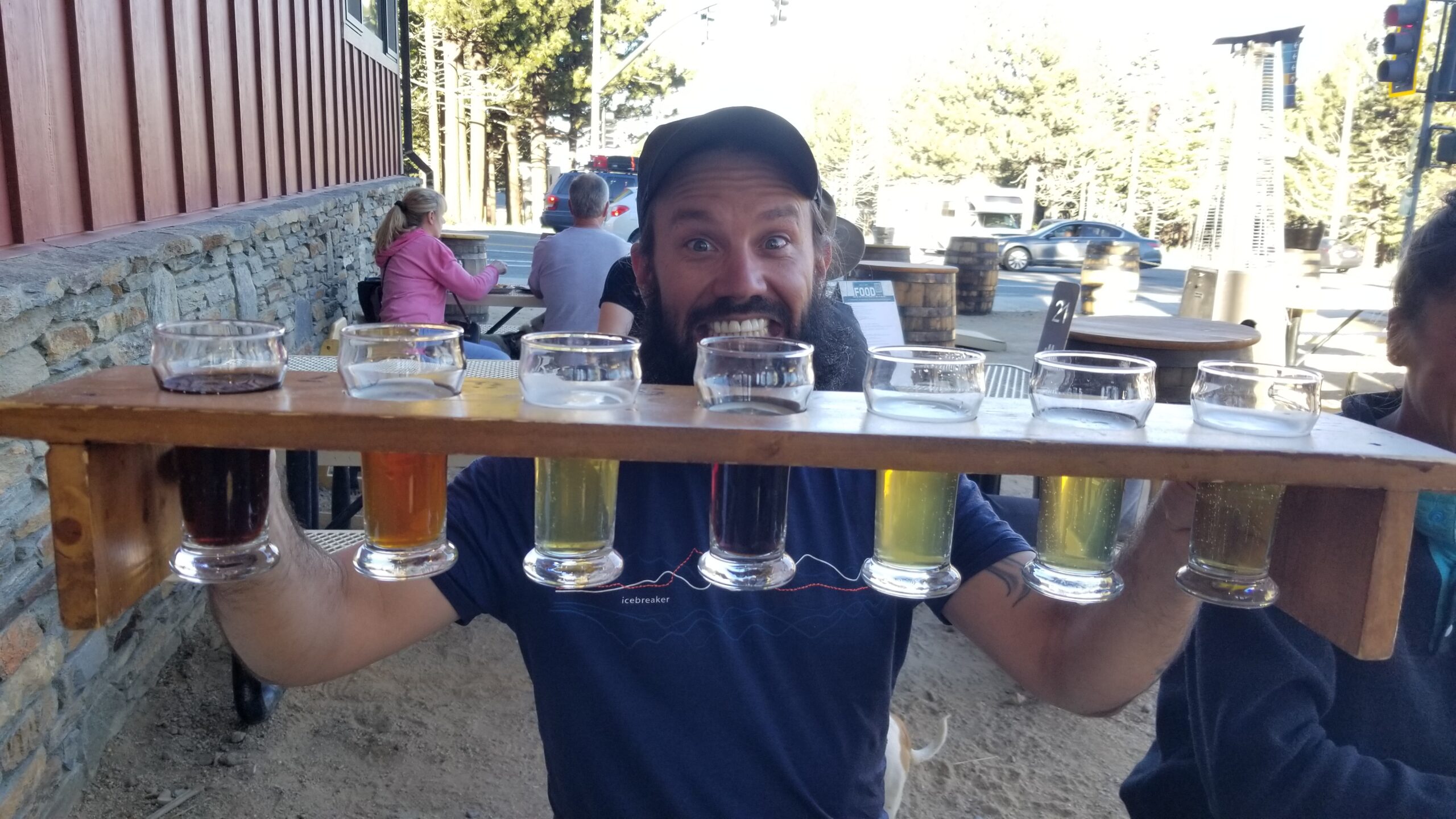
After a good short climb we found Duck Pass and were not disappointed with the views. Barney Lake and the lakes below were a welcome sight as we both knew a warm shower was not far away. We had a few small creek crossings as we excitedly descended down the grey valley toward Mammoth. Day hikers started coming into view who smelled of fresh laundry and we knew we were close. We finally got a glimpse of a trailhead and our first sight of a car in several days. Kira was waiting with a huge smile at the trailhead! We piled into her sweet converted van and headed into town for a shower, some food, and maybe a beer sampler!? It was a good day!
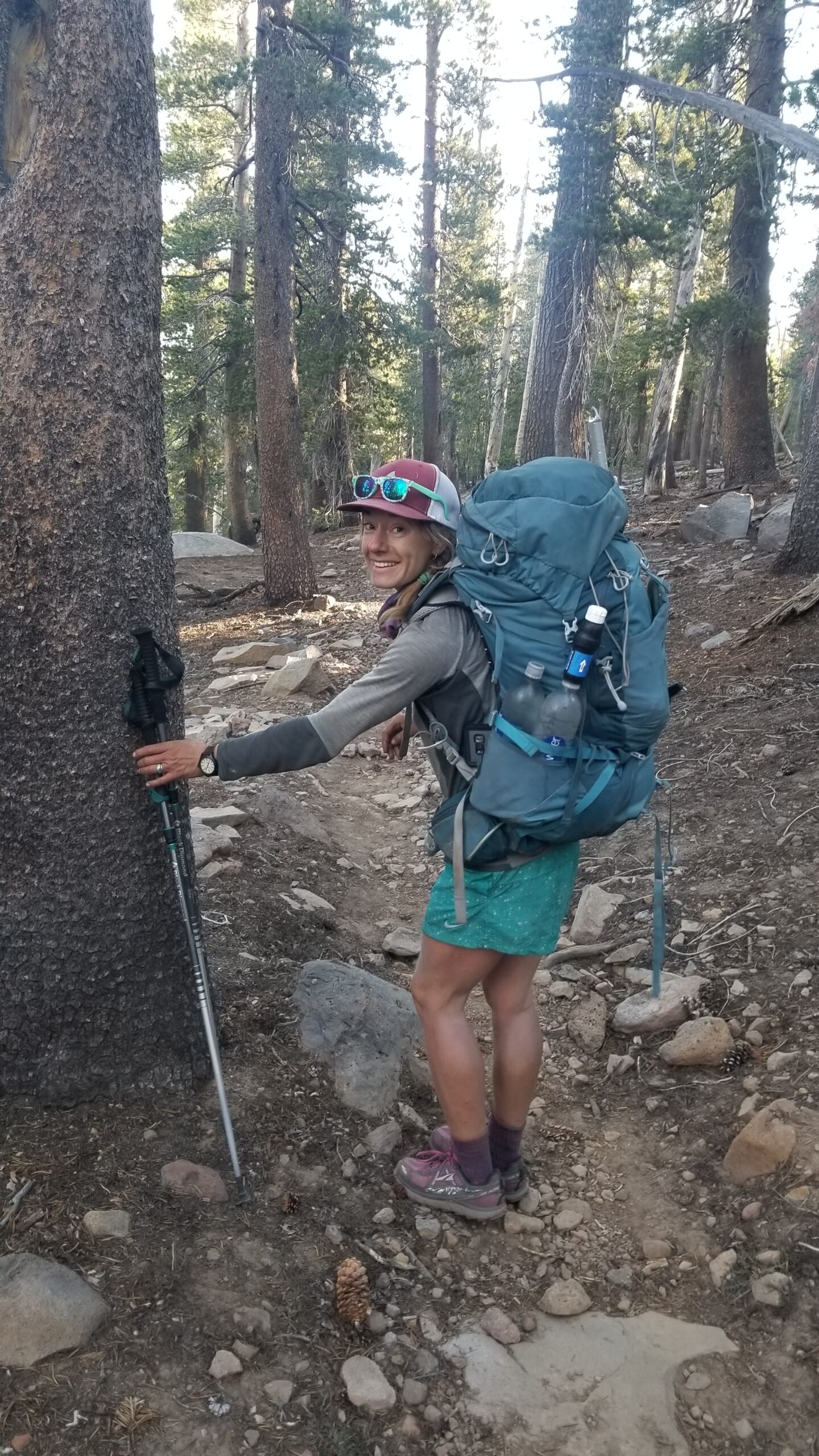
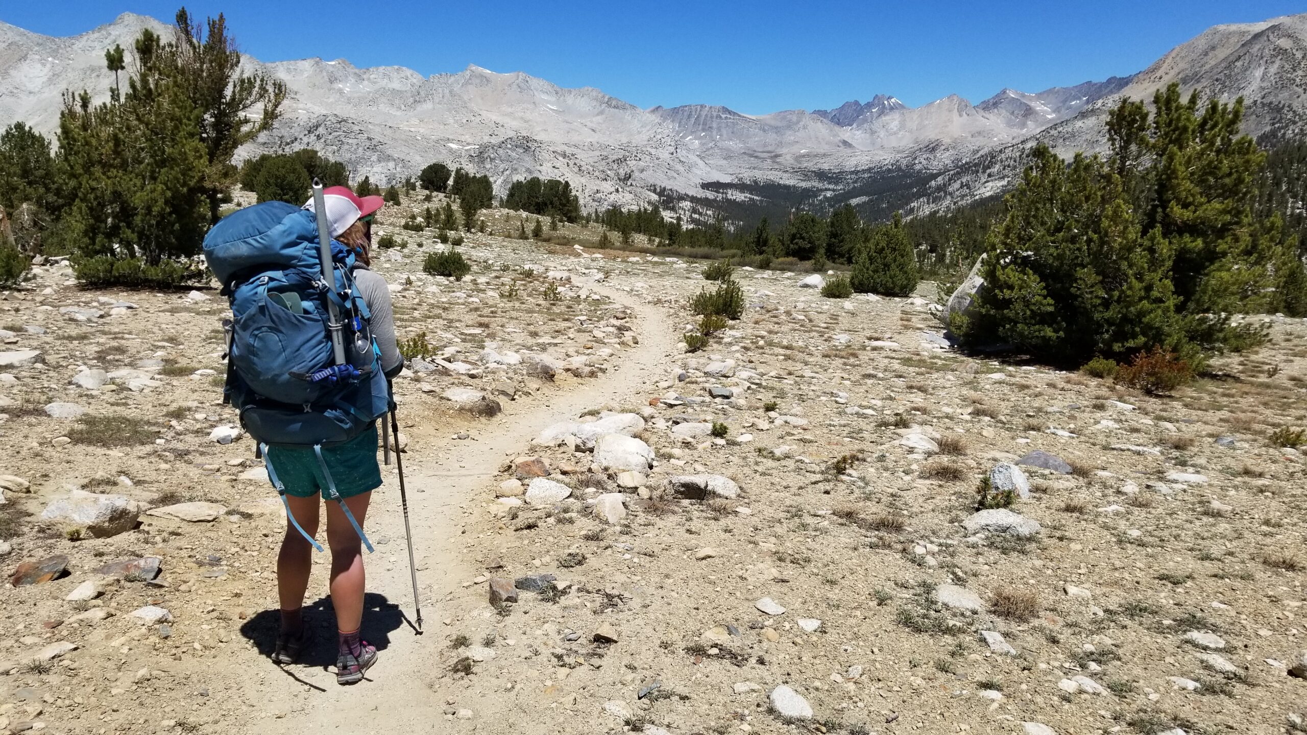
Yesterday we got our trail legs, today we used them! It was chilly first thing in the morning so no mosquitoes, thank god. Izzie had been corresponding with a potential employer in the UK and we had a pocket of signal and found out she had an online interview scheduled on Tuesday at 1:30pm. We originally did not plan on arriving in Mammoth until Tuesday evening around 6 so this drastically accelerated our plans! We only had a day and a half to make the 27 miles and get into town with enough time to find a hotel to clean up and get ready for the interview. So needless to say, the nitro was on!
Time to start the day!
The morning light was on the peaks as we broke camp. Rabbit ears and aspens lined the switchbacks as we ascended from camp steeply to reach the top of a long hillock called Bear Ridge. It was covered in lodgepole pine and good shade. Our hoodies were still on to fight off the morning chill and soon we were descending the other side of the steep Bear Ridge. We could see Silver Pass across the valley and it loomed large in the distance with sun on its peaks interspersed with patches of shade up its climb. It was a long descent, and we fretted every step knowing each was another step we would just have to climb to ascend Silver.
Flowers are poppin!Hello old PCT Sign!Beaming this morning!
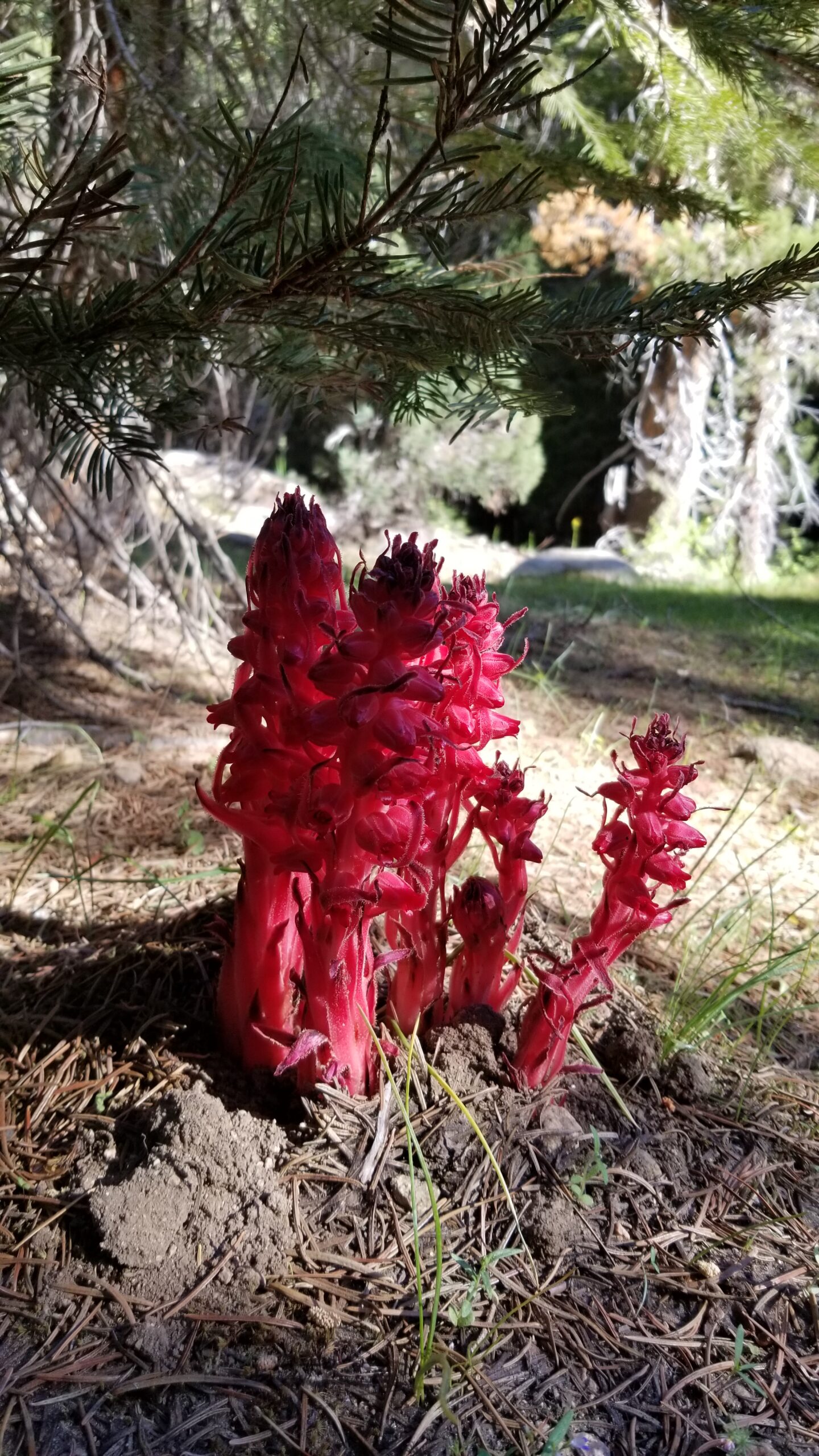
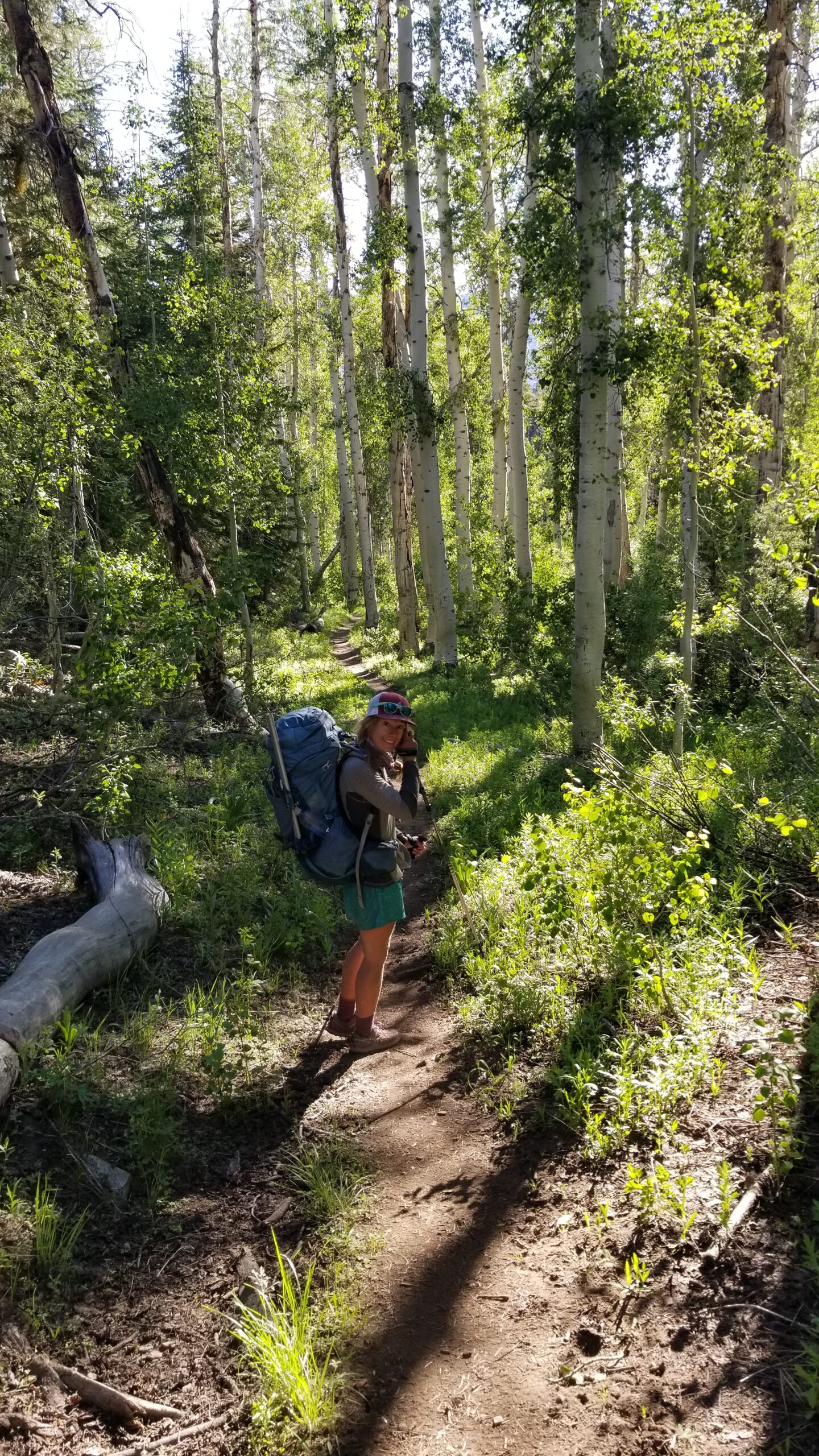
We spotted a few small red parasitic snow plants while bombing down the switchbacks. They grow by attaching themselves to the roots of conifers, stealing nutrients while the red flowering part of the plant bursts through the leaf litter to spread its offspring. We dove further down into a beautiful fern gully, there were aspens overhead and everything seemed to glow in a light green. Columbine flowers stared showing up trailside and soon alders, letting us know that water was close.
Suckling away from the neighboring tree roots!Aspens giving off that green green shimmerNot so stoked on mosquitoes, but still great to be outside!
We bumped into Goldie and Workout again at the bottom of the descent filtering water with all their rain gear on. It was their best attempt to thwart off the mosquitoes that loved this lush wet paradise. We waved goodbye after a short chat and grabbed some water at the large bridge that crossed Mono Creek. We figured its fast moving waters might attract fewer flying vampires. Soon after we began the climb. Juniper, manzanita, aspen, ferns, Indian paintbrush, and sage appeared on the south face of the ascent. Luckily we found refuge in shade from time to time. We kept steadily climbing and soon huge granite walls emerged, forming the sides of a shallow canyon.
Pretty nice bridge for the backcountryThe desert really makes you appreciate running water in the SierrasWater water everywhere, amongst the granite cliffs!
The climb continued still, and we found a few crystal clear creek crossings to navigate just before a beautiful tall cascading waterfall. Granite rocks had lain siege to the path, and the sun began to beat down hard. We sought 3 things: the shade, the breeze, and of course the top. The climb continued and for a short time we were accompanied by a small creek where brook trout played. There was wind in the pines, and soon we lost the cover and pushed further into the alpine. Step after step we finally made it up Silver Pass and stood upon its summit!
Almost to the Pass!Clearly seeing glacial travel forming these valleys from up here, so cool!Sun baked, but still beautiful
It was undeniably lunch time and only a few minutes later Goldie and Workout joined us for some much needed snackage. After stuffing our faces and chatting on about the future, we waved goodbye and pressed on with miles in mind to make the interview!
Quick minute for a sketch!
We dropped down into meadows where lakes lay and the creeks that fed them gurgled down canyon. We saw a grey jay calling from a tall pine, and after mocking him for some time we pressed on. There were quite a few downed trees in this section and the sun went to work on us again. Finally we skirted the granite wall to find the canyon bottom. A small creek followed the trail, yet in spite of its size, it still roared mightily. Green marshy grasslands started popping up as we dropped down the canyon.
Down we descend from Silver PassIzzie stoked on all the lakes!I’ll take that as a sign its going to be a great day!
Finally back under the canopy of lodgepole pines, we found the confluence of the canyon formed by Fish Creek and the ascent was on again. As we climbed the canyon the creek cascaded in brilliant falls, roaring proudly and sometimes creating emerald swimming holes for one to rest one’s body. But there was no time, and the climb diverged from the canyon bottom and headed straight up a side wall. This climb wasn’t long and gentle like Silver, it was fast and steep and almost solely in the sun. If you were only looking down you would have sworn you were in the desert, dusty trail, metamorphic rock, and sage clung to its edges. After a long battle with the beast, we found its top. Man, what a haul!
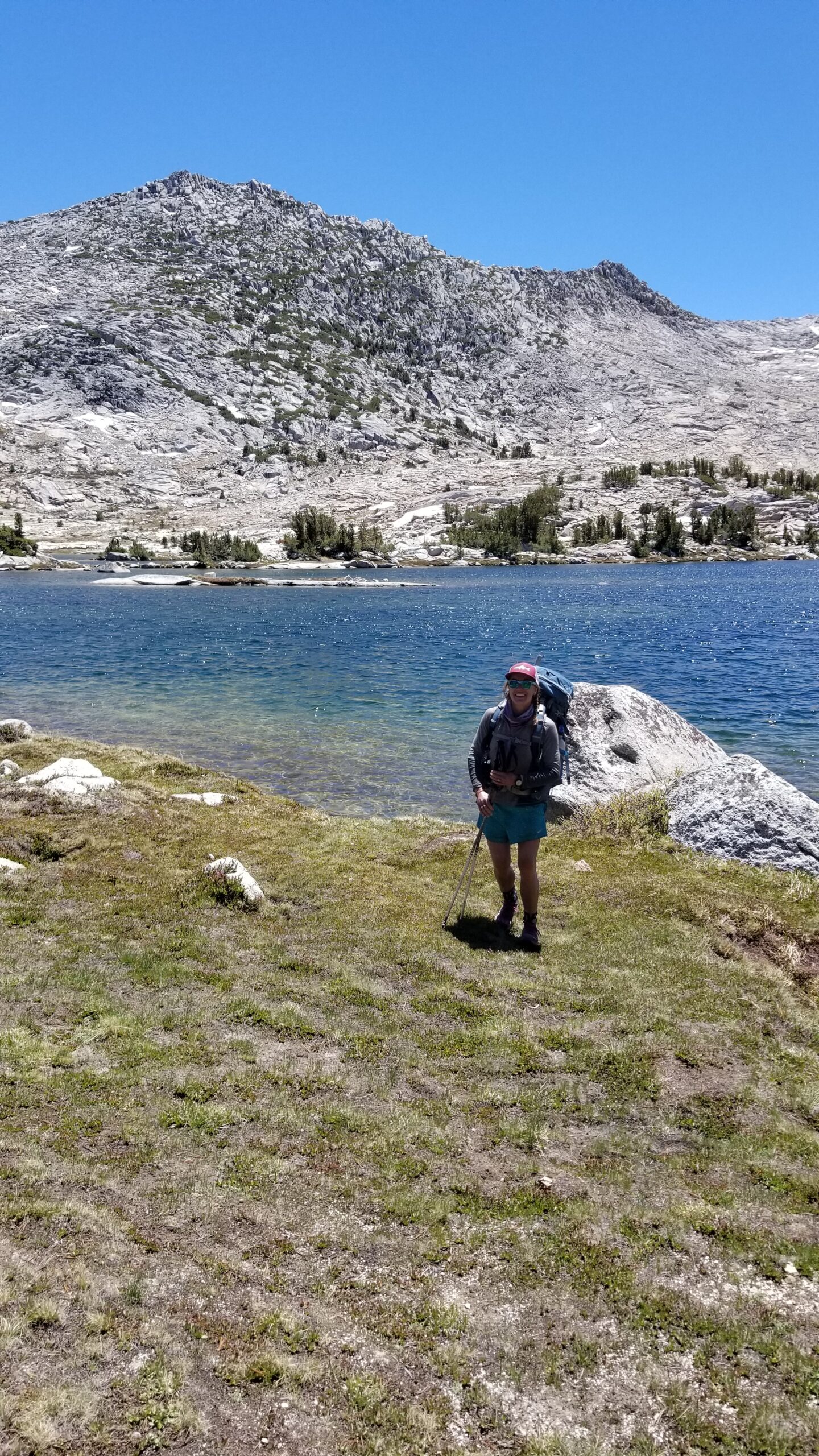
Lake Virginia, wow that’s a big one!Cant beat some time in the sun after a refreshing dip!
After a short climb over a hillock the massive Lake Virginia came into view. It was big, deep, and blue. The wind was whipping through so hard that it was making white crested waves on its surface! When the trail finally met the lake, we had no choice but to jump in. I would not rate this dip amongst the best swims in the Sierras, quite the opposite with the frigid temperatures and hurricane whipping winds. But never the less, it had to be done, and we felt all the better for it!
Decent into the next valley
We dried out, packed up and slowly trudged up the hillock that separated Lake Virginia and Purple Lake. It was a short climb, but a long descent down into the next valley. The lake was stunning from the saddle and we quickly descended until finding a nice secluded camp nestled beneath a tall pine overlooking the lake, and a harbor from the wind. It was a long but satisfying day, and tomorrow, perfectly staged for Mammoth!
Found our camp!Nothing like Ramen in a bag for dinner!
We awoke next to the San Joaquin River, which provided some solid white noise for some deep REM sleep. Our serenity was soon broken by the mosquito ambush awaiting us just outside of the tent. The little critters buzzed our ears and stuck their unwelcome probosces in our legs as we packed up camp.
Onward!
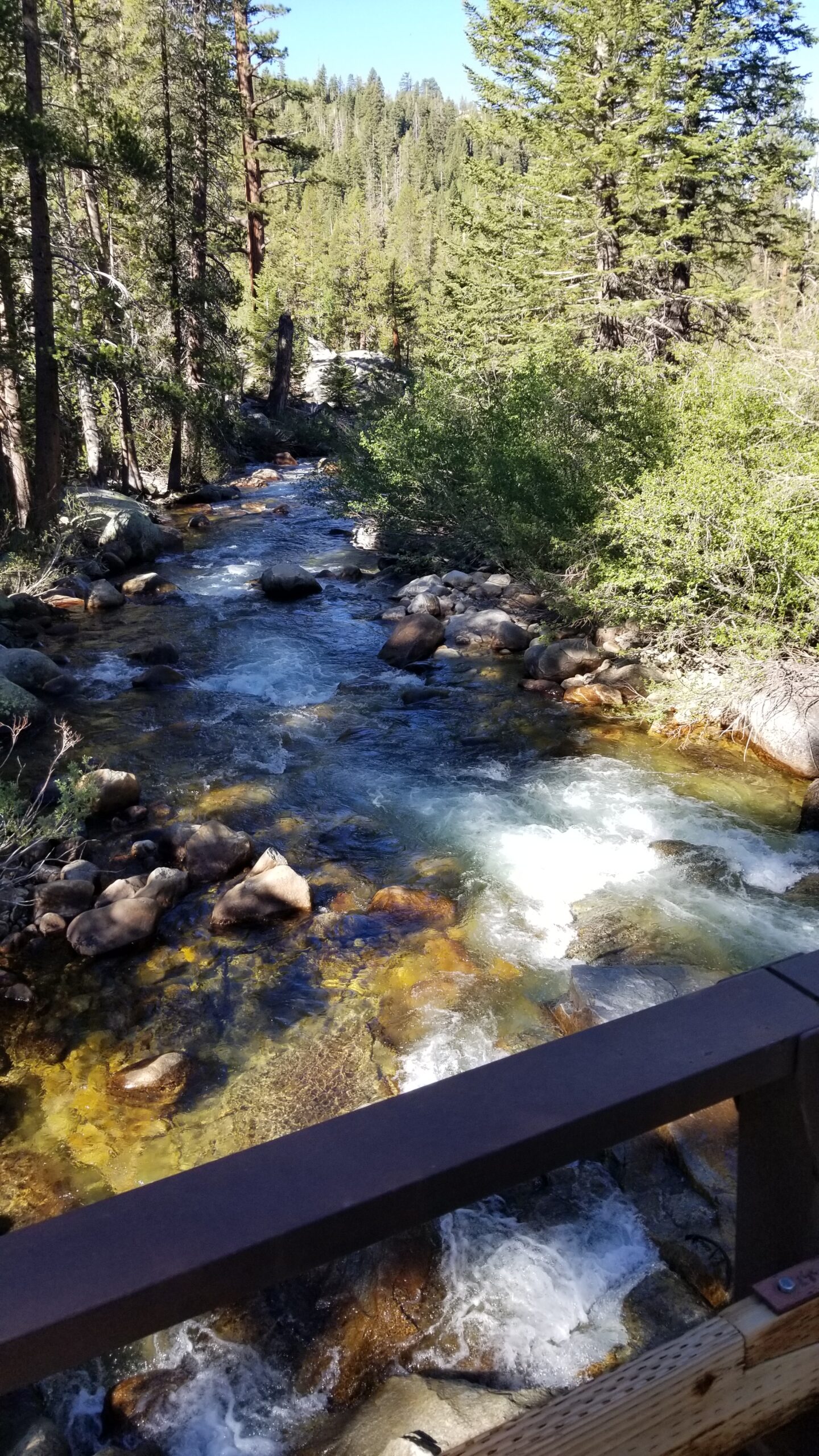
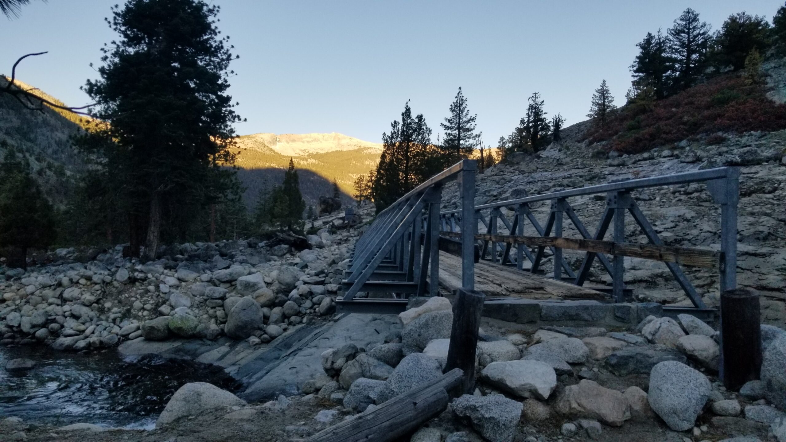
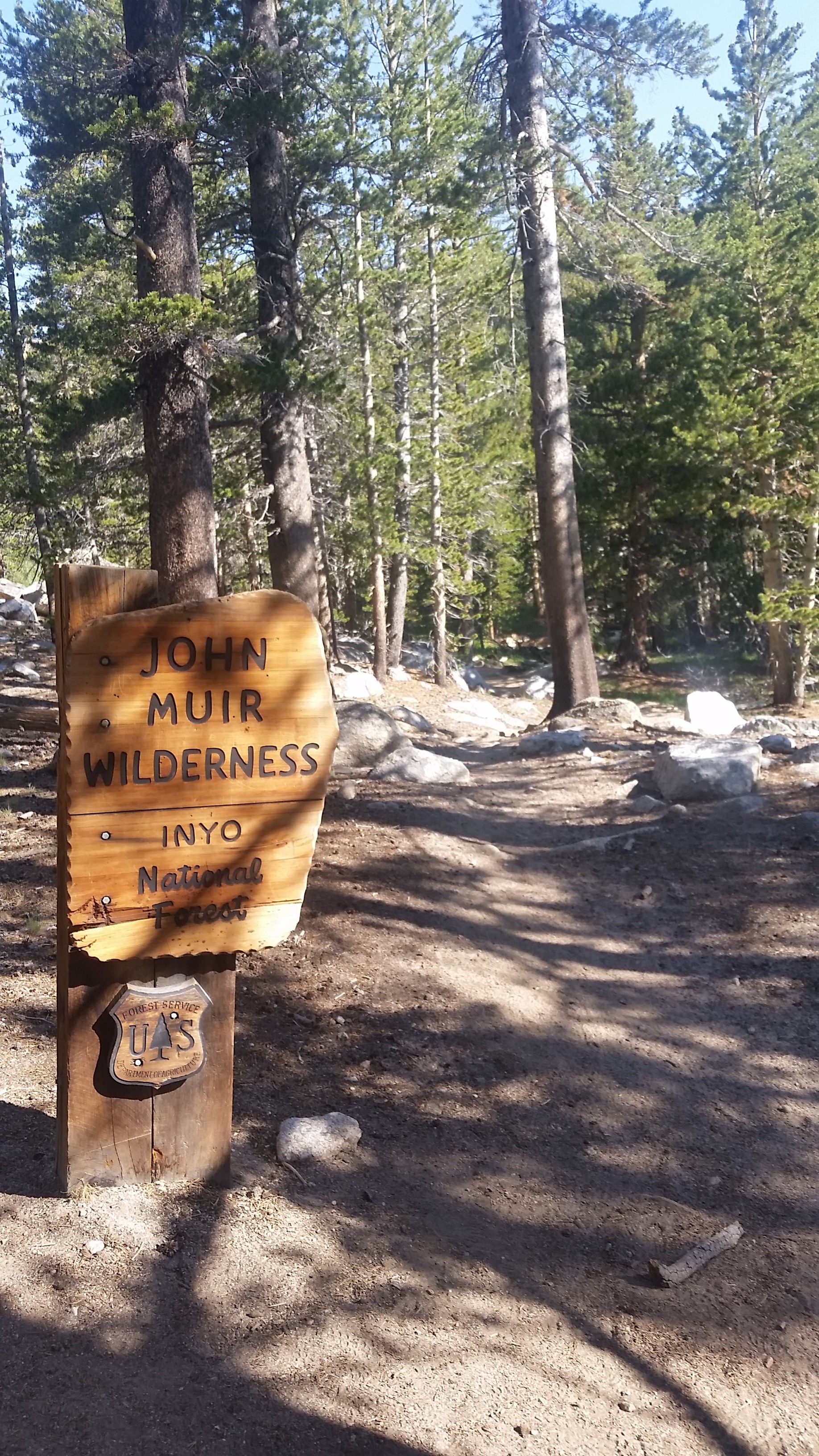
It wasn’t long before we were on our feet fleeing from the aggressive assault. A moment’s pause would just attract another nearby horde of mosquitoes so we had good motivation to keep moving. We soon found a good bridge over Turret Creek with a spiffy new John Muir Wilderness sign standing tall on the other side. We had officially left Kings Canyon NP, and we were delighted to explore this new National Forest.
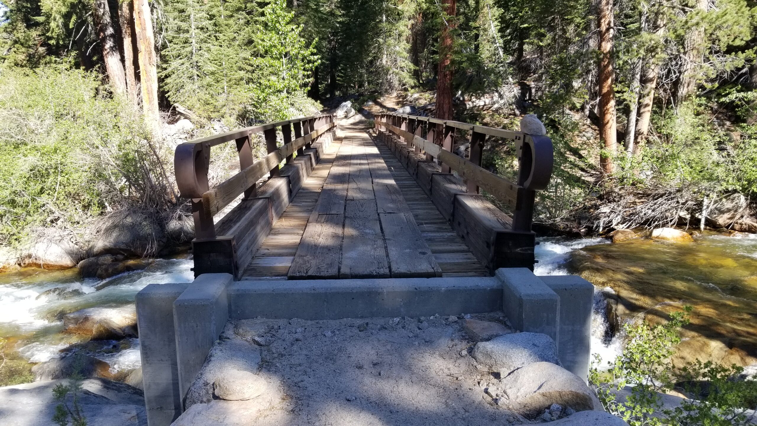
Thanks for the bridge and the fancy craftsmanship
The forest seemed thick with a lot of downed trees and thick underbrush that could be cleared out with a good controlled burn. Pondos stood tall along with junipers, and sprinkled amongst their branches was the parasitic mistletoe and at their feet little blotches of fungi. Aspen groves popped up from time to time looking glorious and green backlit by the morning’s sun.
Calm lake, still and patientThe grass seems a little greener up here
Soon the trail turned to tight steep switchbacks, almost like a threaded stitch that was holding the mountain together at the seam. We soon popped out of the cover of trees and found manzanita and some sparse pines. Up and up we climbed, the trail seemed relentless until finally we found a lush meadow paradise fed by a clear stream. A deer walked silently across the meadow as if undisturbed by our presence.
Pretty serene landscape
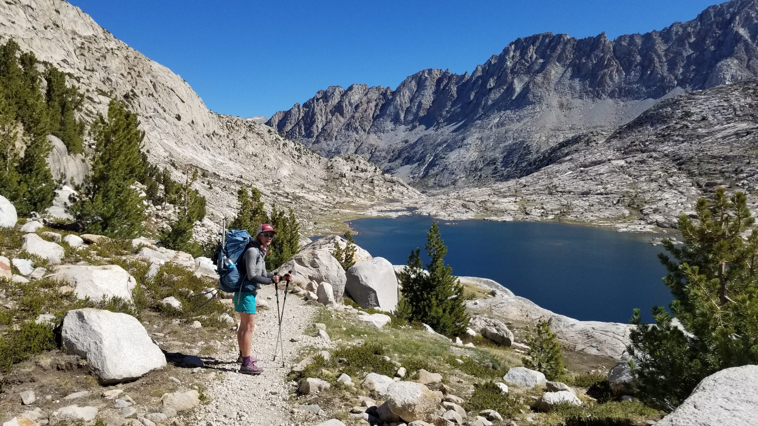
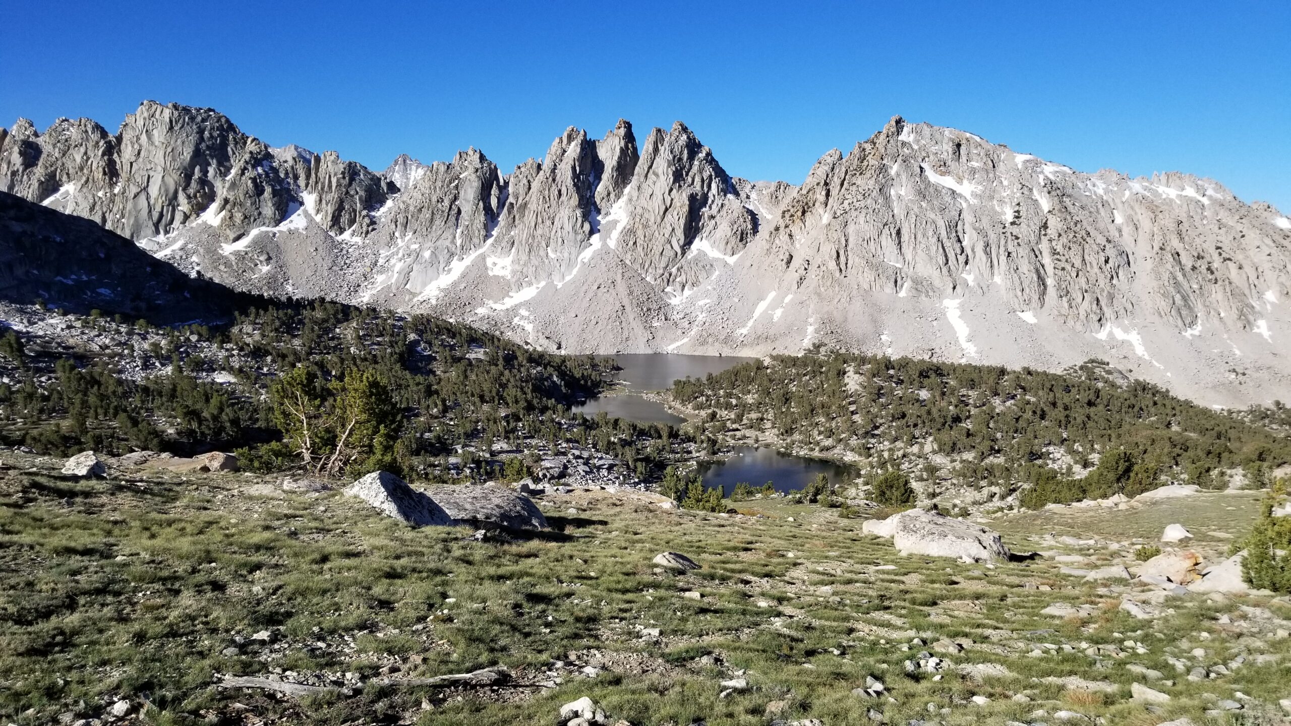
After meandering through the meadow the trail took off climbing again until we popped up onto a higher plateau that sheltered western white pines. Up here we saw 3 more deer, one still had its velvet covering its rack. A few more switchbacks and we found a granite plateau where the Sallie Keys Lakes lay. One fed the other and above them Heart Lake fed them both. We saw a few PCT hikers taking the polar plunge and waved to them as we passed. The final switchbacks took us by clear creeks where we finally found our first Golden Trout! We were so excited to see such a rare threatened fish.
Lakes, clear skies, and trees for days!
We climbed the last switchbacks and finally peaked out at Selden Pass. A small 20 foot stretch of snow awaited us along with our friends Goldie and Workout! We took a break snacking and catching up, chatted about our plans for the rest of the day and went on admiring the view of the lakes below.
Little sketch from the PassIzzie plods on down towards some good swimming holes, ahoiiii!Feeling fresh after a quick dip!
We said goodbye and headed down the north side of the pass pausing at Marie Lake for a quick refreshing swim. As soon as we got out the mosquitoes were on us again, we rushed to get dressed and get moving down the trail. The valley before us descended in a series of small lakes and meadows, pine thickets and aspen groves until finally we reached the beautiful Bear Creek.
More cool downed trees, the growth patterns are so cool!Creeks galore!Crushing those creek crossings!
Much like the day before the trail led down the valley hand in hand with the river, giving us great views of its twisting and windings, waterfalls and moments of still tranquility. Soon we happened upon Goldie and Workout, we stopped and joined them for a quick swim, the emerald pool they chose was just too nice to pass by! Once back on the trail we padded through a green carpet wonderland, with larkspur flowers afoot and aspen overhead, it was like a green tunnel through a fairy woodland.
More fun balance bridges, man its pretty spectacular out here!Cool old burned down tree, you can see the twist growth right through the core!This is a big fella, Izzie seems to approve!
We continued pressing on until Bear Creek decided to turn away from the trail and we stopped to filter some water for camp. Soon after, the climb up Bear Ridge began. It may not have been the full 3000 feet gained in the morning over Selden, but it felt like it packed the same punch in 2 miles. Straight up tight switchbacks soon gave us grand vistas of the valley below. After a hard push we found our camp and our friends Goldie and Workout. We set up our tent, made dinner, stretched, and chatted about movies, the future of fish and fire in the west, and took in the views we were all so appreciative to be seeing. It was a great day, and we both felt like we had finally found our trail legs!
Found a small but doable camp for the night, and time to enjoy the sunset!
Golden light had just started to show on the tips of the peaks as we exited the tent. It was a cool morning, yet felt warmer than the last few. The wind and cold over the last few days must have been holding off the mosquitos we had been warned about. We hoped they would hold off for a few more days until we reached Tuolumne. But for the task at hand, Muir Pass awaited. We strapped on our shoes and packs and marched up trail.
Not a bad river crossing!Alpine lakes are the best lakes.
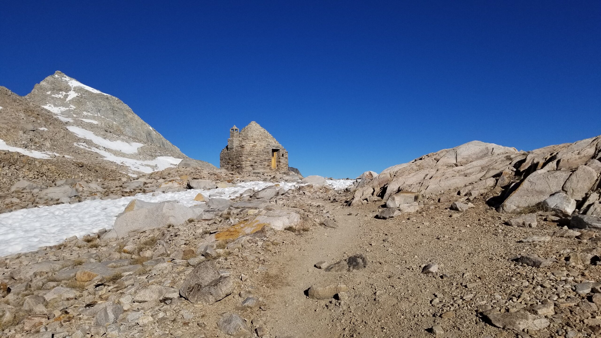
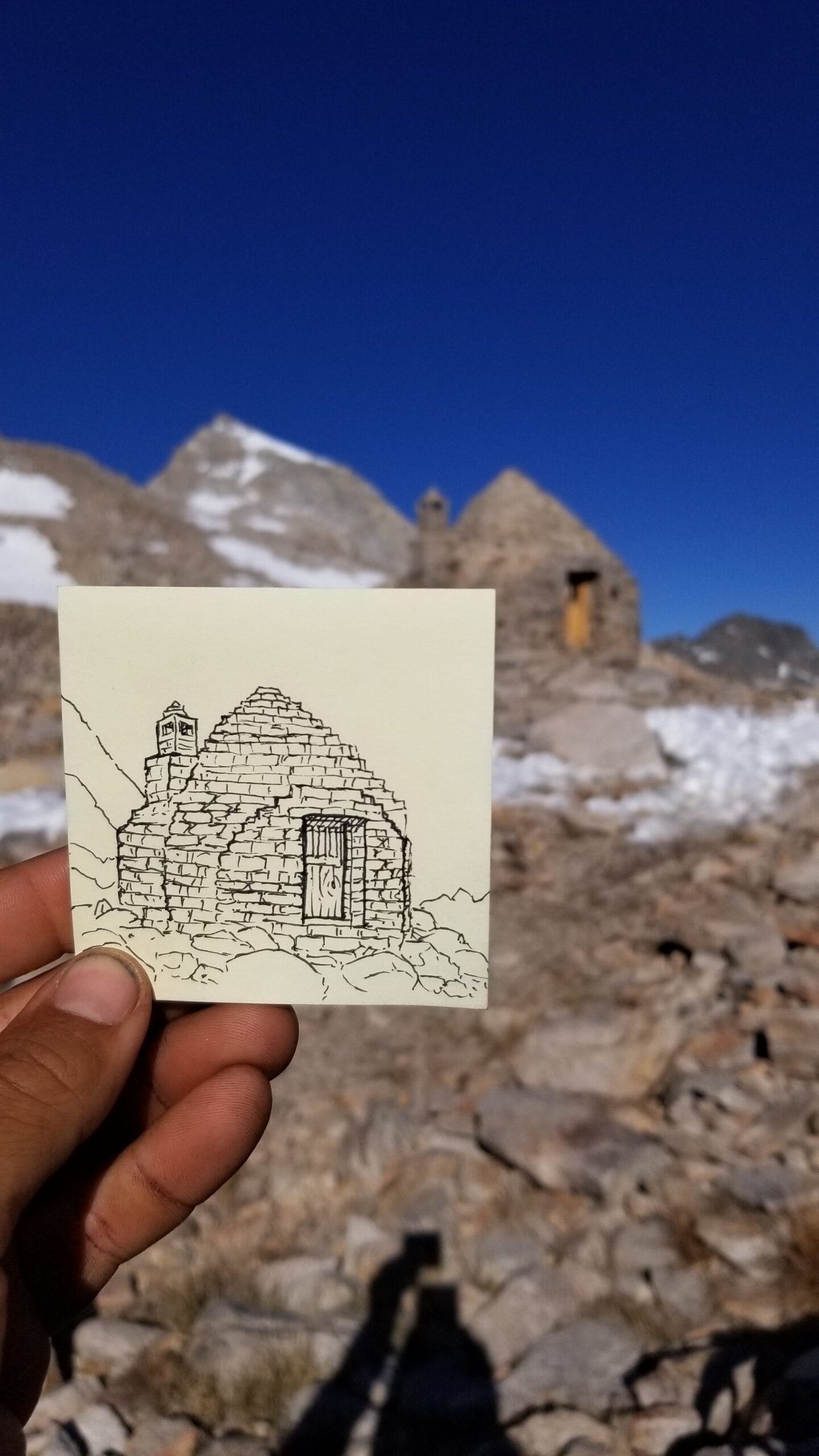
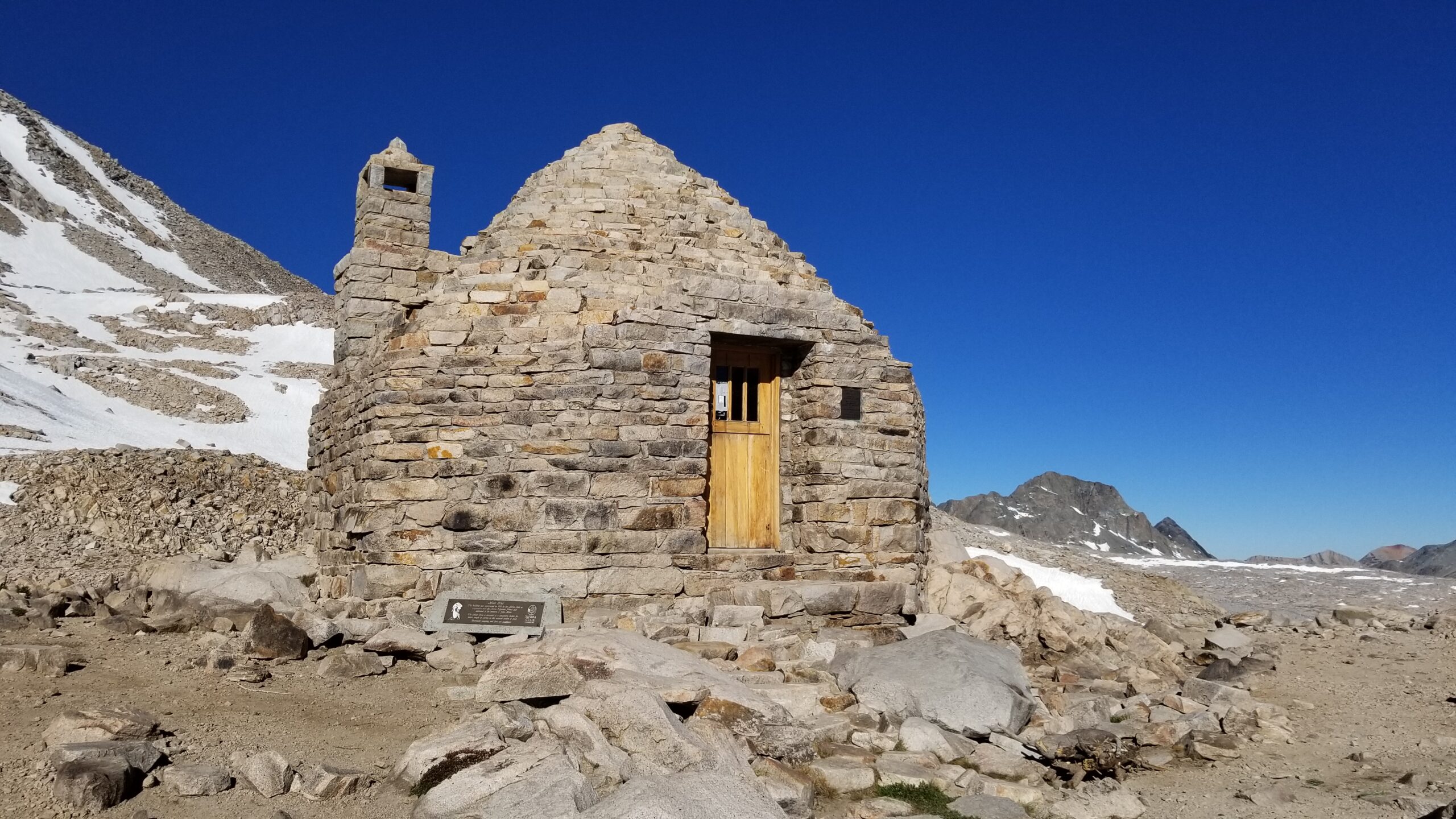
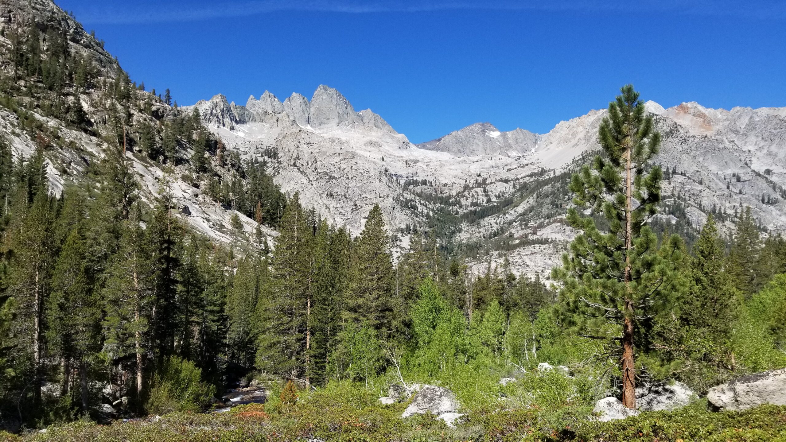
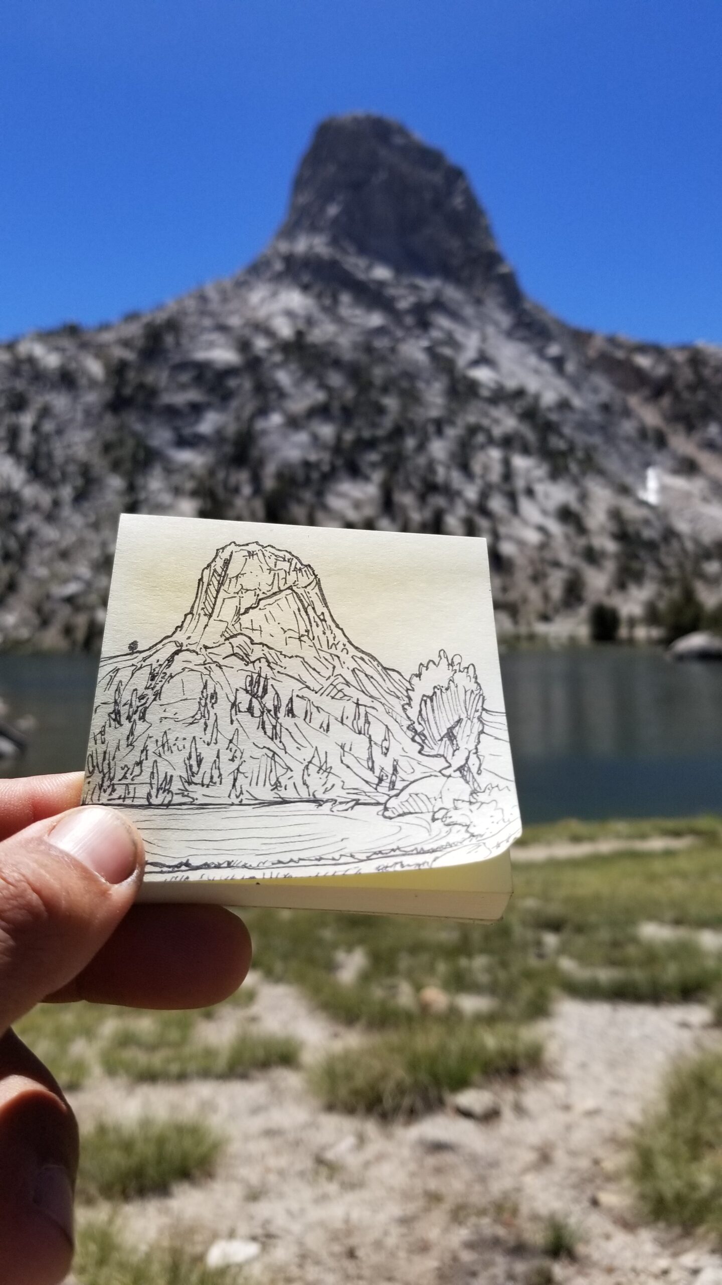
The nameless alpine lake we slept near fell silent except for the cascading creeks that fed it from the northwest. We hiked up out of the basin leaving the last trees behind and found another alpine lake, this one a perfect mirror showing the snowy granite peaks behind. Each lake had a stream that fed it from the top and a stream that drained it from the bottom. It was a long chain of lakes, like pearls on a necklace, from the top of the pass down to the alpine plateau and eventually the Kings River and then on, hopefully, to the ocean. Sometimes traversing a wide snow patch, sometimes avoiding them by going round. Finally we crested a switchback and the tip of Muir Hut came into view. It was a welcome sight and we both were surprised by how quickly we had reached it. I sat and sketched the hut as Izzie inspected its insides. The fireplace had been bricked in, yet it still had an interesting smell that was hard to describe, it wasn’t dingy or moldy or old, it just smelled like stone and wood. A little small square window looked north and I could imagine what it would be like to watch a blizzard blow from the safety of the shelter.
Hiking up towards Muir Pass!Boulders are getting good as we climb higher!Well hello there Muir Pass and Muir Hut!
We picked up our packs once again and headed off, north, down the pass. As we passed the alpine lakes I thought how funny we must seem, like turtles slowly crossing a landscape with everything we needed on our backs. The lakes were beautiful and clear, you could see right down to the bottom. The trail skirted just along the edge of the lowest lake on the alpine plateau and we took a moment to glance back up at the cascading blue turquoise lakes.
Found a little break time after the climb to sketch!Muir HutBack down from the pass towards Evolution Valley!
We continued to descend into the canyon below. Little yellow flowers started popping up trailside, the tundra grew green and finally, to our disappointment a few rude mosquitos came up and sunk their proboscis into each of us without even as much as an introduction! We knew it was time to move, and continued down Evolution Valley.
No fish to be seen, we checked!Izzie, pretty stoked for lunch and a quick dip!
The last lake came into view, willow became more predominant, tundra flourished in flower, and eventually pines started to show. Little creeklets would come down off the canyon walls, strike across the landscape and somehow find their way into the lakes, like finding their way home.
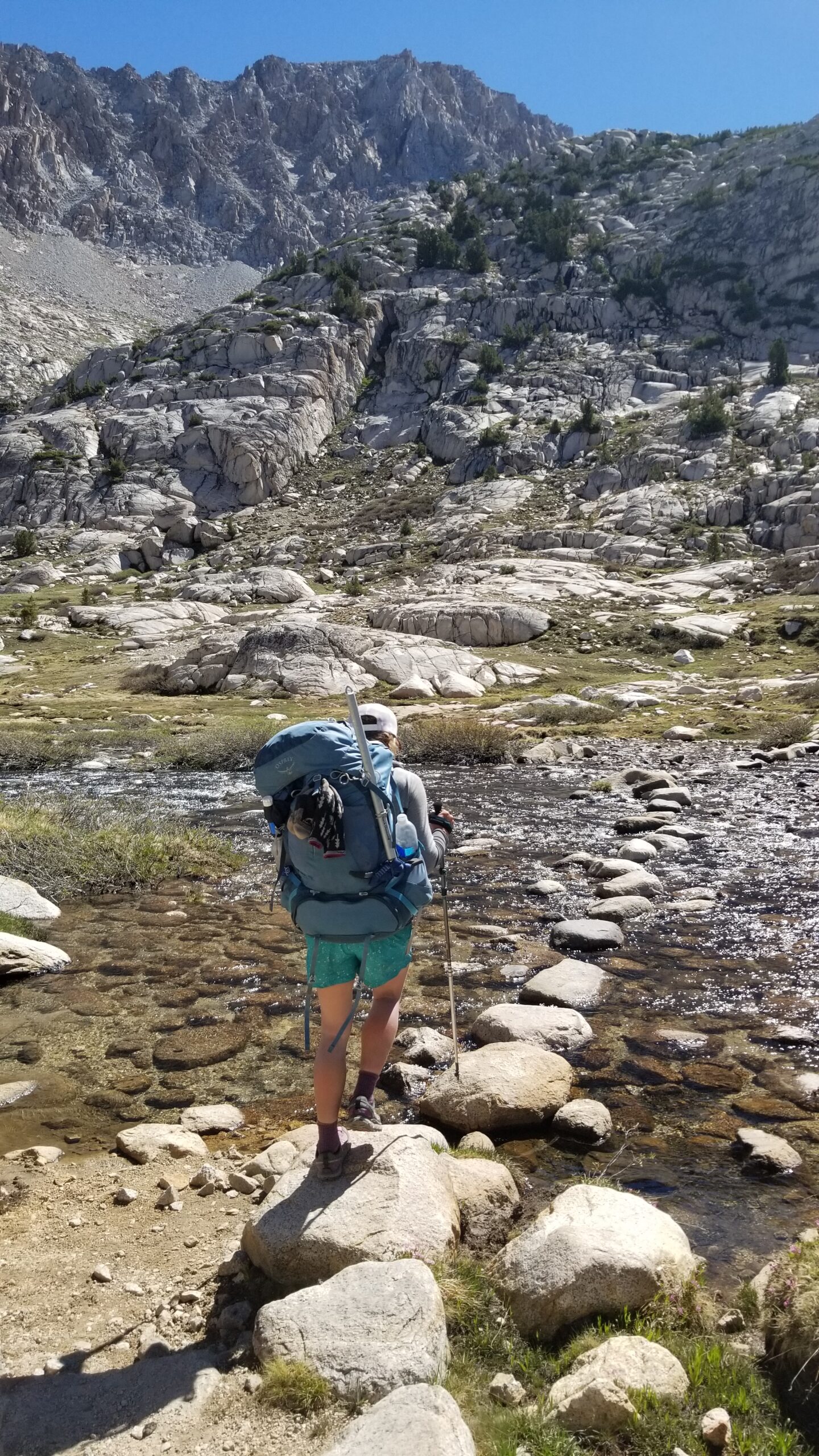
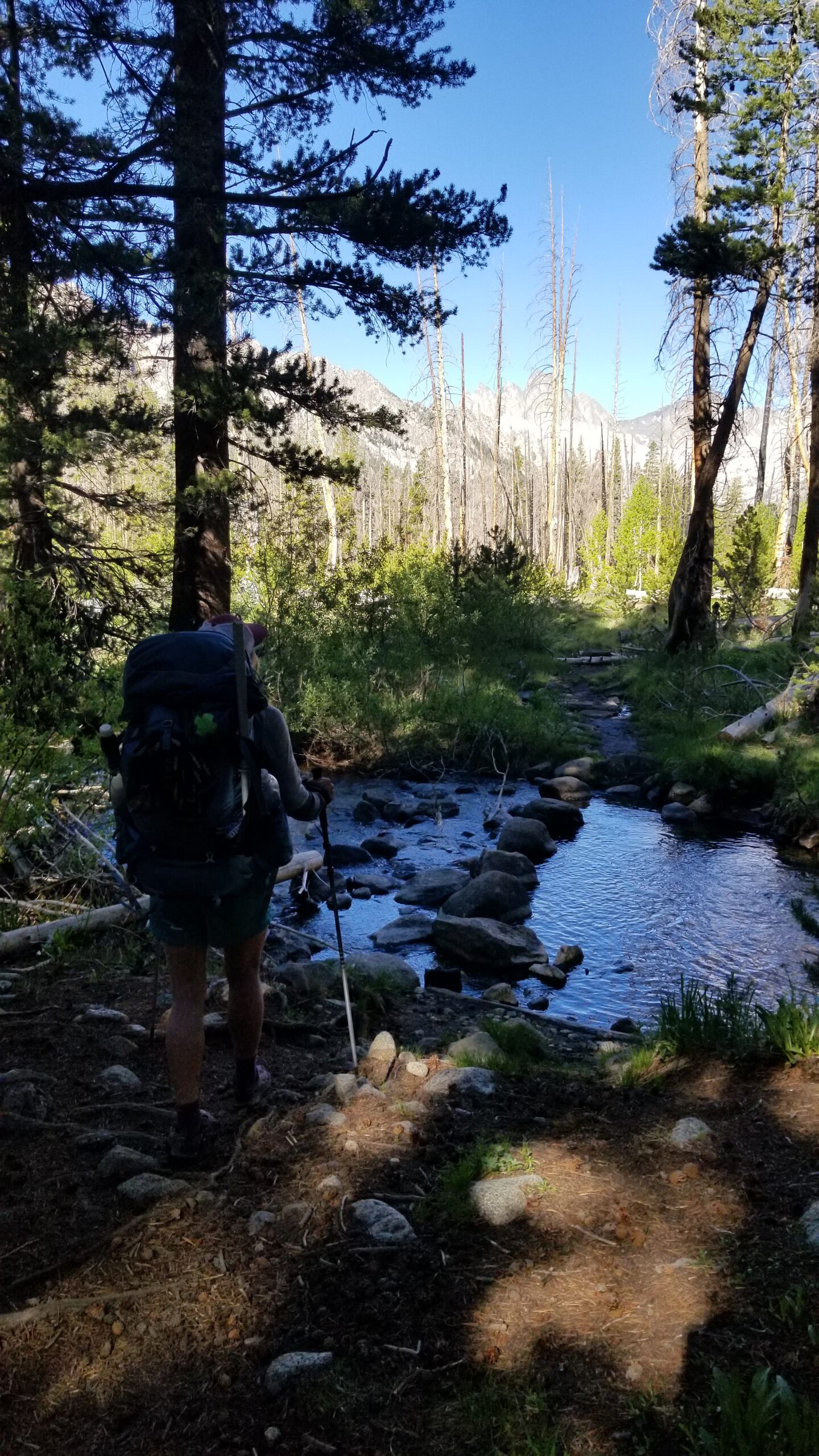
Creeks are such a welcome sight, low need to carry water is pretty clutch!
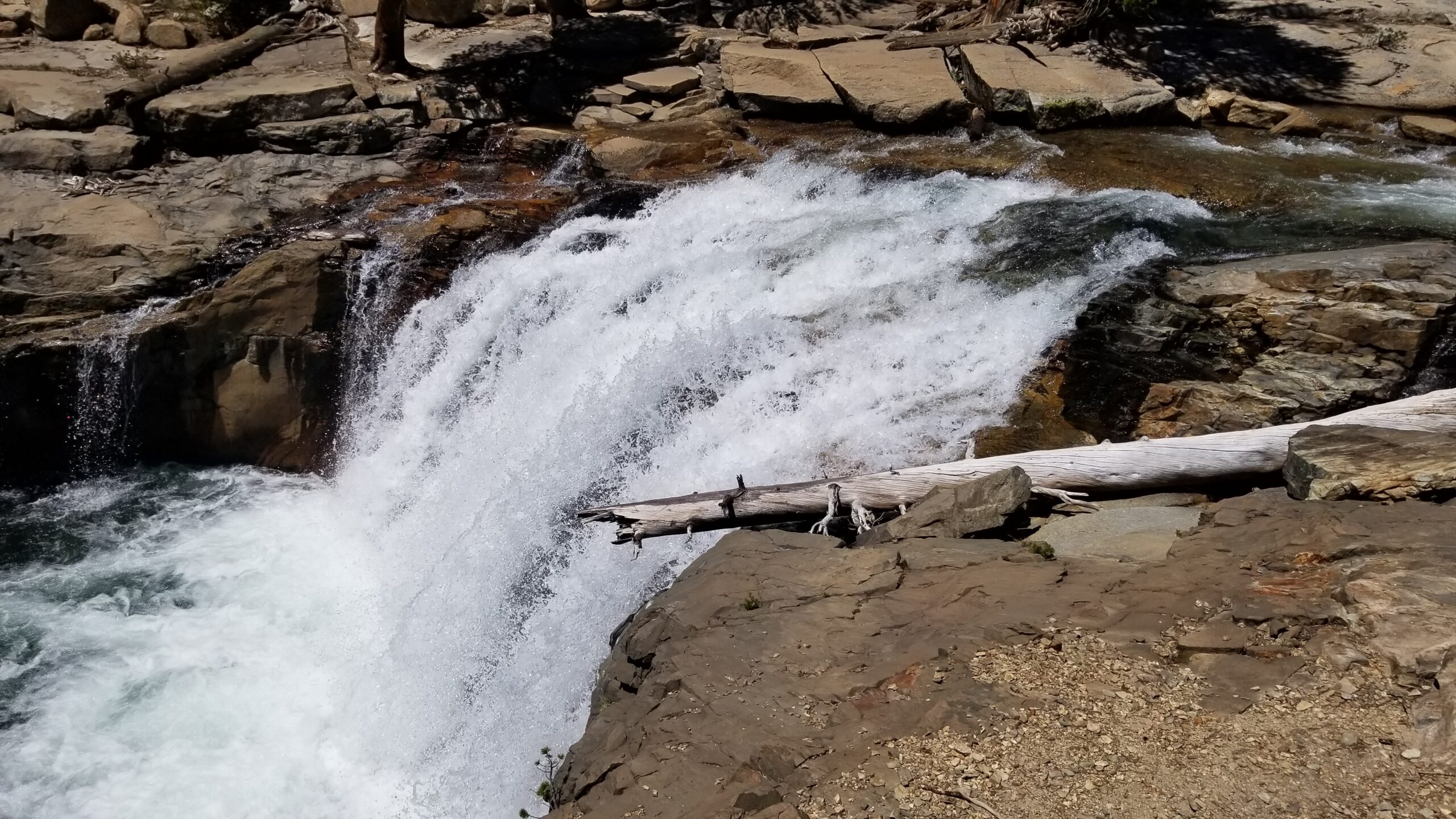
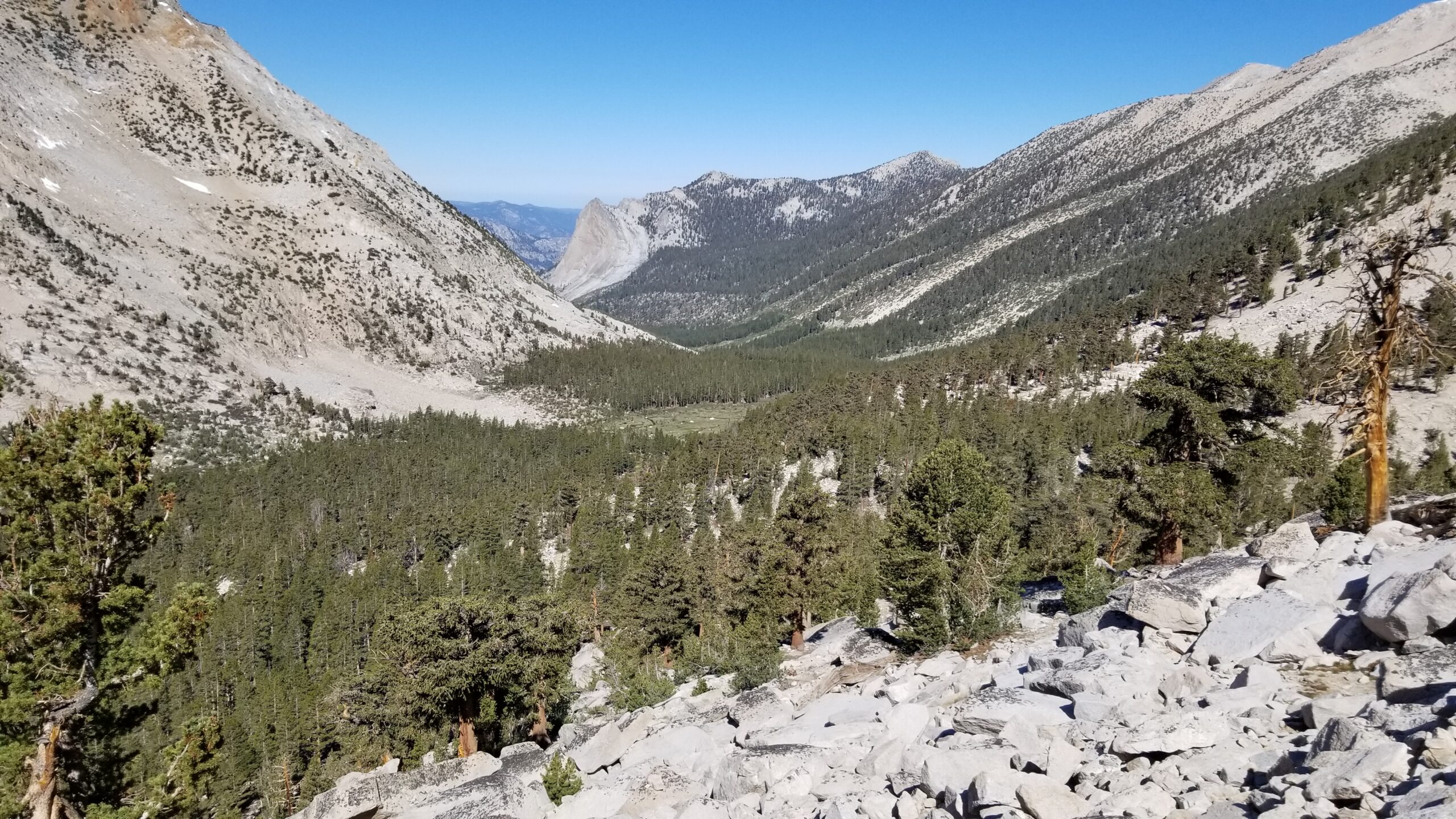
We finally entered a forest of pines, and not a minute too soon as the sun seemed to crank up the heat. We could hear the rumble of a waterfall off in the distance, cicadas buzzing in the trees as we bombed down the switchbacks. We happened upon the beautiful waterfall just a stone’s throw from the trail and stopped for lunch. A swim was almost mandatory at this point being day 7 with no shower, but it didn’t seem much of a chore as it cooled our hot feet and knocked off the dirt from our dusty bodies.
Waterfalls all round!
Back into the cover of trees, nice little respite from the baking sun!
Large granite boulders took over the descent and grassy glades appeared along the flat portions of the crystal clear Evolution Creek. We passed McClure cabin, a tall pine building with not much character, but looked functional for the most part. We dropped further still through gates of granite, canopies of conifers, and crossing crystal clear creeklets. It was a pretty surreal afternoon.
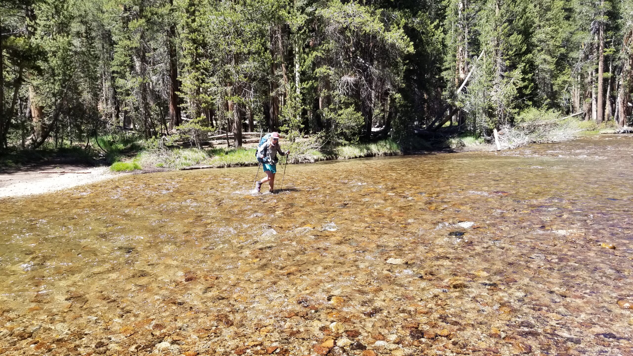
Back under the cover of the canopy, a little respite from the warm sun!We came upon a large creek crossing and I pulled off my shoes and socks, Izzie just stomped on through (ain’t nobody got time for that!). We trekked on soon finding a large waterfall. The water sheets fell over the edge of boulders looking like the baleen plates of a whale. The powerful white frothy water bounded in twisted torrents down the mountain. Soon the trail followed suit and the switchbacks steepened. As we dropped in elevation the flora quickly began to change. Once Lodgepole Pines were now Aspen, Jeffrey Pine, and Juniper covered in lichen, while moss and ferns clung to their feet. The geology changed as well, granite turned to a dark grey metamorphosed gneiss, and finally after a long drop, we found a bridge that spanned the banks of the San Joaquin River.Big creek crossing! Getting soggy on this one for sure!
Evolution Creek poured into the San Joaquin and the trail bounded after the river as it raced down canyon. Aspen and Junipers studded the landscape and every once in a while we would see a small cottonwood clinging to the sunny side of the river. The river would turn from perfectly clear and quiet to a white torrent of rage as it jumped down a 10-15 foot cascading fall. We stood trailside at one of these waterfalls and imagined the line a kayaker might take to safely descend. For a moment I imagined myself in a small hard-shell boat taking the rapid turns and somehow clearing a huge drop. I came back to reality and we continued hiking down the canyon.
Man look at that gnarly run!Flowers sure are poppin!
The river jumped down drops, slid through narrow channels, and went back to being as smooth as glass in just a few miles. We finally chose our camp, just before the river left the trail and we set up our tent beneath the pines. It was a beautiful camp to cap off a beautiful day.
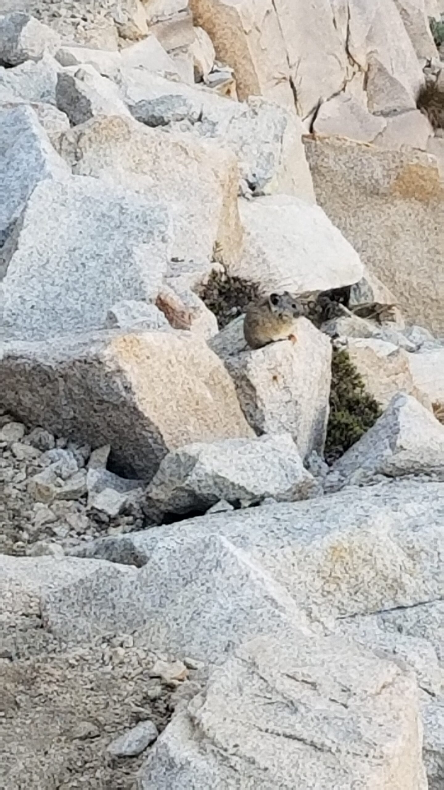
We emerged from the tent ready to start the day! The morning light had not yet fallen in the valley by the time our shoes were on trail. We padded our way toward the northeast end of Palisades Lakes and suddenly saw Goldie and Workout also on the move! We stopped for a quick chat, then headed north bombing down tight steep switchbacks amongst the pikas!
Time to get moving!Peering back up towards the Palisade Lakes feeding the riverPudgy Pika!
Palisade Creek flowed out of Palisade Lake and into the bottom of the canyon as we hiked our way north. The creek itself winded this way and that, sometimes crashing down on jagged rocks like gnashing teeth at pour overs. Rocks marbled dark grey and light stood guard in this upper section of the canyon. We enjoyed the descent in the cool morning and listened to the tune of birds chirping. One such bird hopping along trailside looked like a sparrow, but was almost a crimson brown and had a rosy pink flash on his wing.
Looking down canyon and into the day ahead!Izzie, all smiles 🙂
We continued down a slickrock descent, dropping further into the shaded canyon. We looked up, back from where we had come and saw the sun had made a golden rim at the top of a cliff face, backlighting the trees that stood on its edge. The towering giant granite faces gave way to talus fields and eventually green sage, snow brush, and willows that clung to the bottom of the valley where the river ran. The trail zig zagged just below the cliffs and sometimes cut down just near the creek before turning back and clutching to the cliff’s edge as we descended the canyon. Pikas chirped over the sound of the river from time to time, and finally the sun found us, bounding down the trail.
Still enjoying that morning lightFerns are poppin!Back down into the tree line, the creek takes over the trail
In some places the trail became soggy, delicate ferns took over in the wet shade, and eventually we reached a patch of forested pine trees. The trail went from granite to padded trail, and we listened as two competing grouse whoomphed their mating calls back and forth. The sweet scent of wood smoke drifted through the forest from a nearby camp. It was a great accompaniment to the padded soil trail.
Rock hopping anyone?!Well good morning to you too!
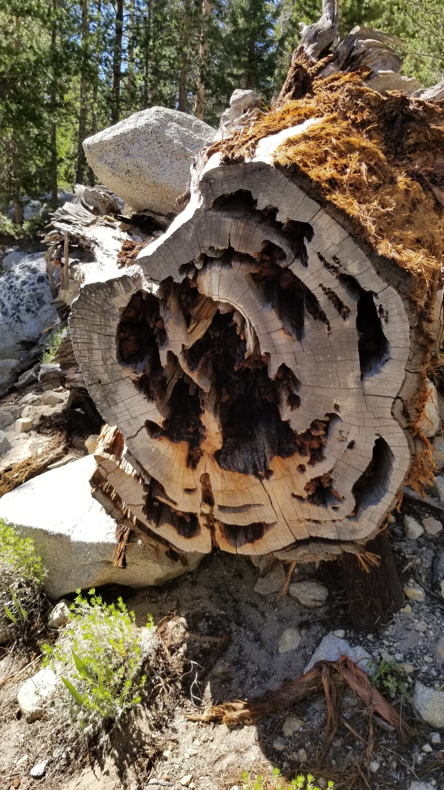
Soon we found aspens hugging the creek crossing in a burn area, as if to make a quick hostile take over where the pines had once stood. A large black lizard (skink?) with a blue underbelly scampered up one of the dead standing trees and a robin in the distance landed on a nearby tree. We were soon back in pines, when all of a sudden we found our first Black Cottonwood of the trip! We were really losing elevation now! The aspen forest grew larger, in both number and size and the sooty grouse seemed happy here as we counted at least 9 different whooopphhss through this section of canyon. We even found what we thought to be fresh bear scratches in aspen!
Distance peaks, standing proud
The going was surprisingly easy given the adventure going over 2 passes the day before. We happily plodded on until we found the Middle Fork of Kings River, which cut across the canyon we had descended. We started paralleling the Middle Fork as we entered Le Conte Canyon, and watched it go from flat and calm in an open meadow to a raging white torrent of a waterfall in a turn of the trail. As we plodded up the trail the creek meandered close then far, and finally when it came close enough we stopped for lunch. We stripped down and took a quick dip in the frigidly cold river and then sunbathed like lizards on the white granite beach as we stuffed our gullets with a tasty lunch.
Those aren’t tiger marks, I can tell you that much
Satiated, we pressed on, all the while watching the river make magical waterfalls, twists and turns, it was a mesmerizing thing to watch. At one point we crossed a small bridge, bent railings on the upstream side as if it had taken a big hit from a boulder being rolled down the river. We saw a small bird with a grey body and bright red head (Ruby Crowned Kinglet?) among the aspens as we climbed. Seemed like wildlife really thrives here.
River life is a good life!Taking in all the meadows!The rising granite never ceases to amazeLunch time!
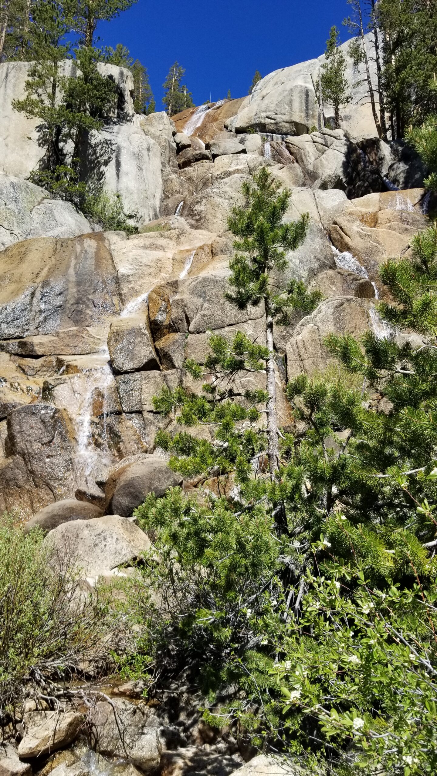
We bumped into our friends Goldie and Workout once again and chatted on about our plans for the rest of the day before setting off again up the trail. The trail then turned up the heat and we started climbing arduously. The creek formed huge waterfalls over slickrock like a rippling curtain, almost looking like a bride’s veil or train of a wedding dress. This section near the falls had blooming tundra, moss and ferns, and reminded both of us so much of the Mist Trail, only without the hundreds of tourists.
Up up and away!Hungry hungry tree!Back down in the lower canyons
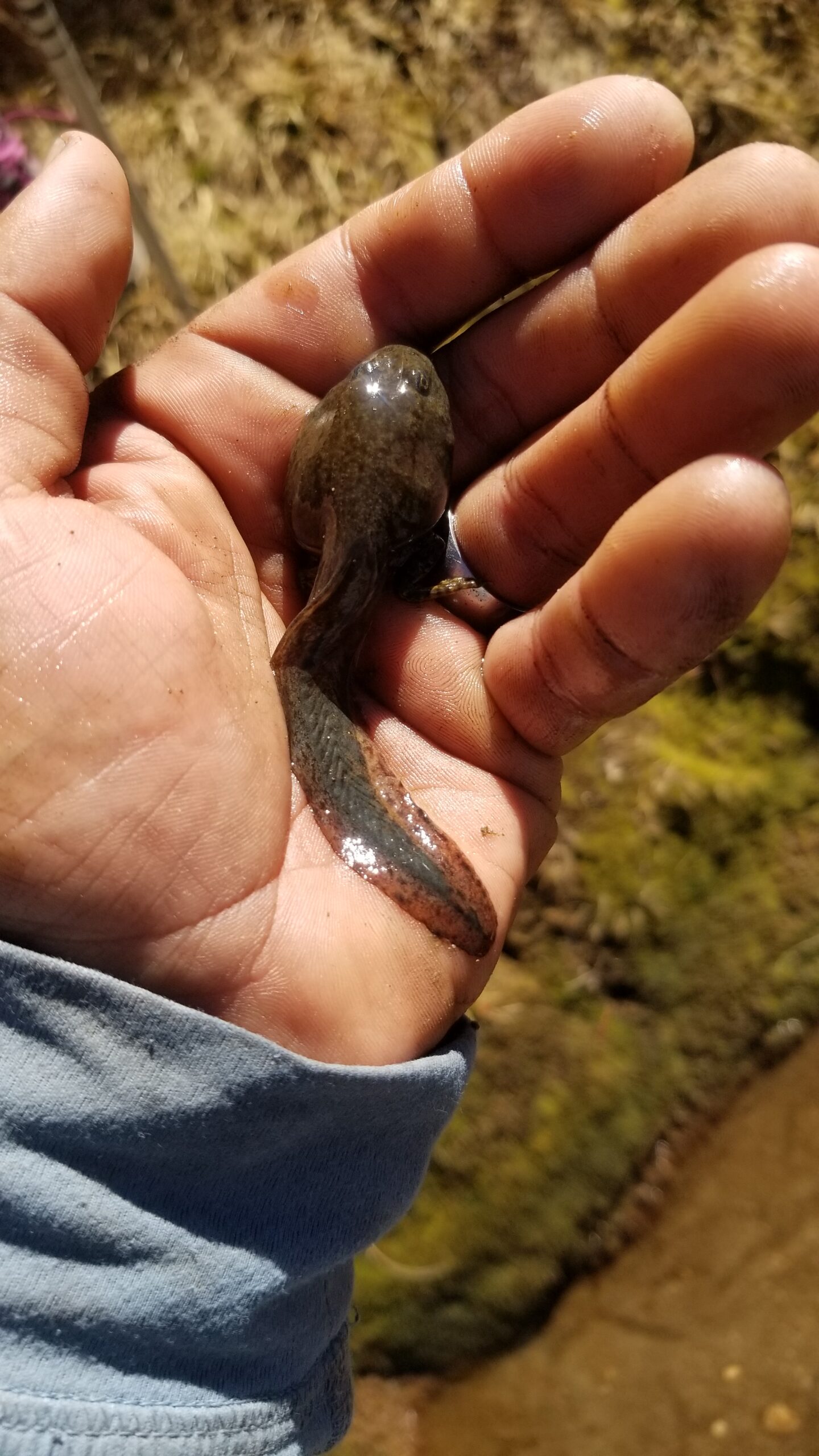
Enjoying the scenery, but working hard for the miles we pressed on, switchback after switchback grew steeper and the trail intensified its gain until finally we reached a large emerald blue lake at the top of La Conte Canyon just before the final climb to Muir Pass. It was stunning, and teaming with bullfrog tadpoles. Although non-native and invasive, it was still interesting to see such huge tadpoles with legs, in the midst of metamorphosis. We found a nice pad below a tree and set up our tent for the evening. Some cooking and stretches later, we found ourselves tucked away snug in bed before the sun went down. Such is the life of a backpacker!
Izzie leading on!Care for a dip!?Wow, these are some big boys!
It was a cool chilly morning, as we packed our things together. Izzie went to soak her foot in the river as I finished packing up the tent. Still not sure how she manages that first thing in the morning, it must be excruciating. The cold wind was low, water white noise high from the nearby creek when we finally strapped our packs on ready to take our first steps.
Waterfall in the valley as we climb towards the pass!
As we hiked up the valley we watched the creek roll down its belly in beautiful white cascading falls, sometimes fanning out, sometimes flowing over slick granite, others crashing onto large rocks. We left our hoods on as we climbed up the valley. Our hands shot with pain as the blood finally flowed back into our hands again. Izzie went to cross a creek and unwittingly placed a foot on an icy rock, slllip, wet feet on an already cold morning. The only saving grace is that we had a large climb to keep us warm.
Izzie, stoked to get moving and shake the frostCamped beneath this little gem for the night.
The sun still hadn’t found our faces as we quietly passed the uppermost trail camp a few miles below the pass. It was the last big forested refuge before the stark landscape above. There were still quite a few tents nestled below the trees, still quiet with sleeping hikers stowed away. As we climbed higher we heard a sooty grouse make his un-deniable mating call, a low woomph woomph woomphhh. I love hearing such interesting birds, especially far out in the backcountry!
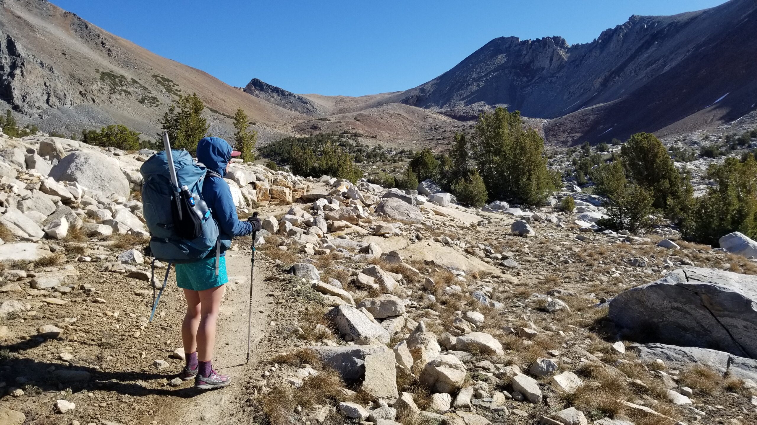
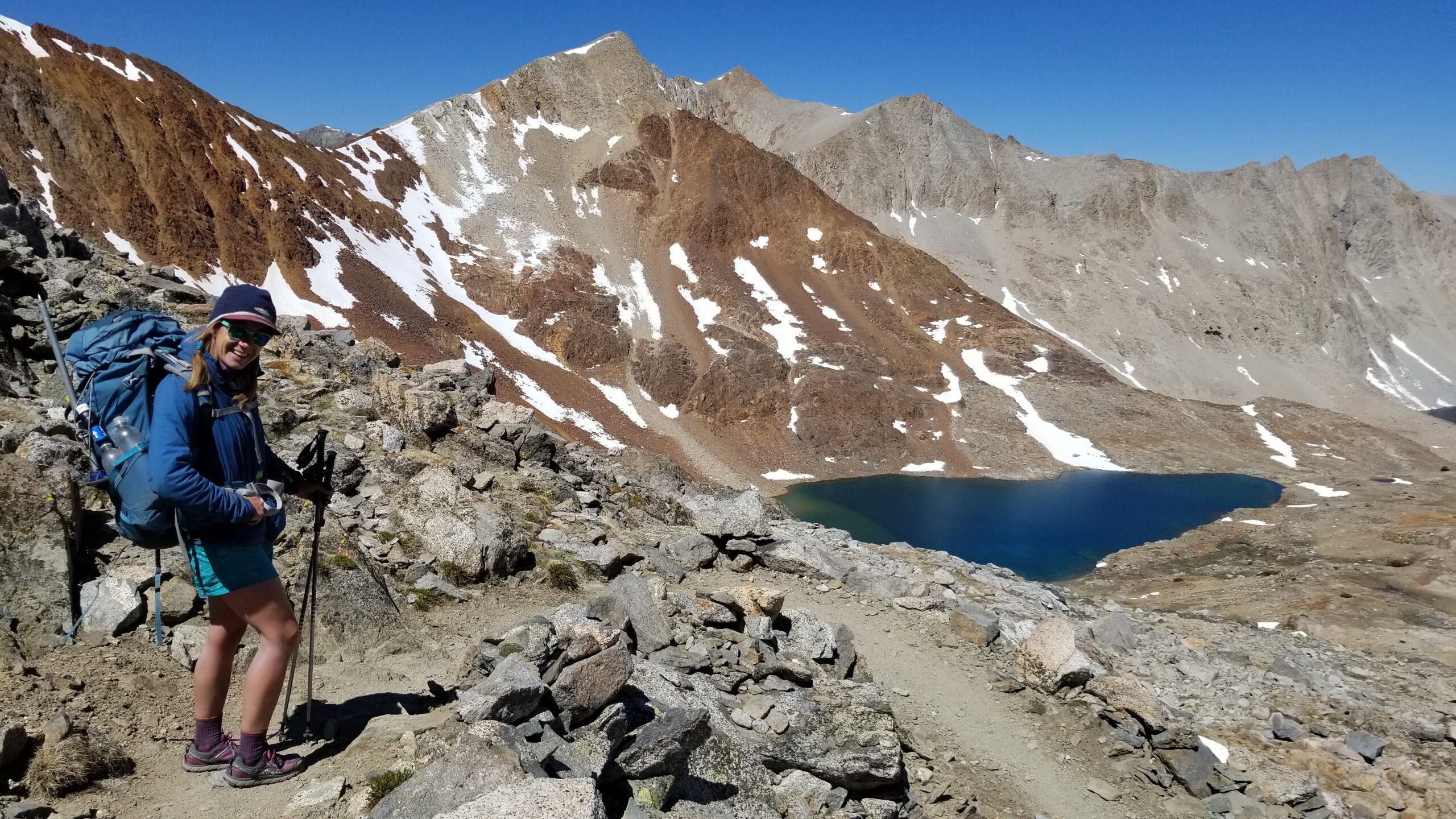
Tall, twisted, and scraggly, guarding the trailUp we go, towards Pinchot Pass!Beautiful flowers, show their colors in the meadow.
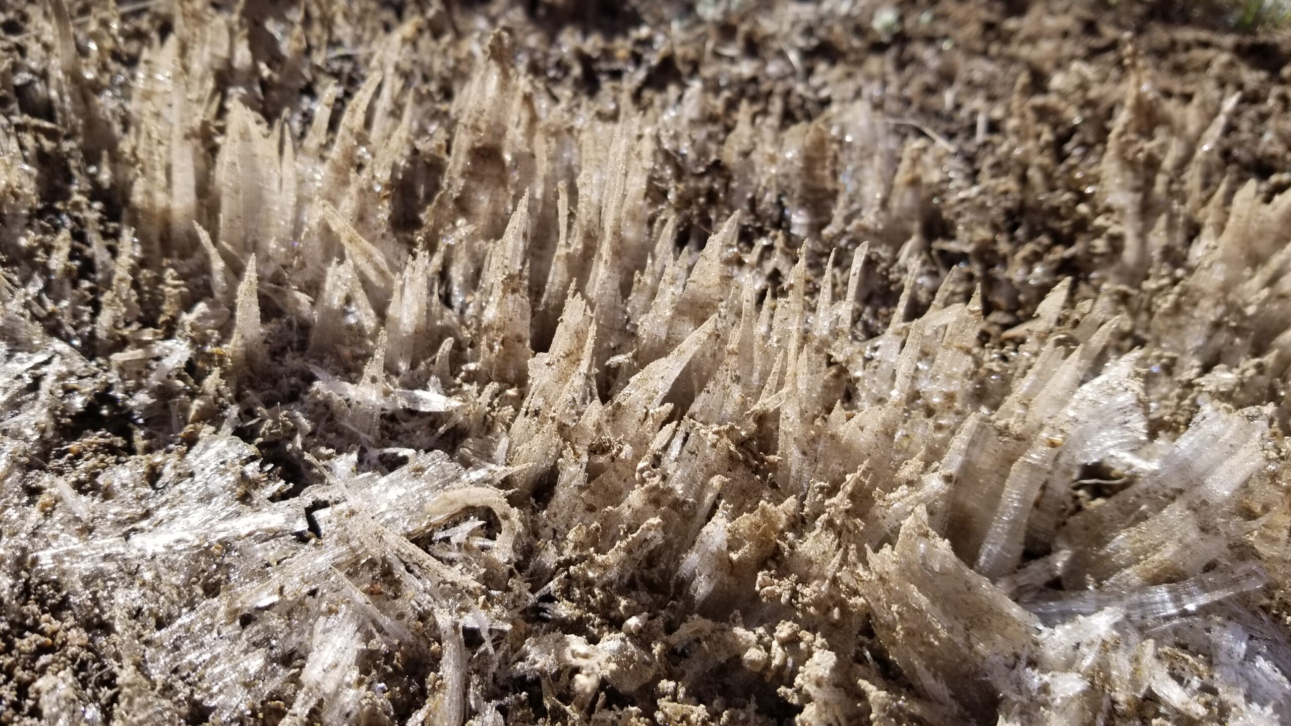
The frosty soil crunched beneath our feet as we ascended to Pinchot Pass. The interesting ice columns that grew below the soil’s surface looked like miniature skyscrapers, glassy crystalline pinnacles crushing beneath our feet!
Just a tad chilly!The sun keeps us company!Ice patterns trailside
When the sun finally reached us, we had a view of a huge red ridge, frozen creeks trickling across the alpine, speckled with lush tundra. The water that flowed below the frozen creek’s surface pulsed like a lava lamp, trapped air bubbling together and flowing slowly beneath the ice. It was such a colorful pass, red iron rocks, green lush tundra with purple flowers, so much more color than the other fully grey granite passes we had encountered.
View back south of the passViews on the other side, beautiful colors in the rocks appear!
We finally reached the pass and sat for a snack to look over the vast landscape we had just traversed. Soon Goldie and Workout surprisingly came into view. We exclaimed welcomes and were glad to meet back up since our brief chat the afternoon before. Once snacks were done, we bid farewell and headed down the north side of Pinchot Pass.
Fun little sketch from the Pinchot Pass!
The valley was slightly different here than the last, small willows grew creekside, ice waterfalls led to beautiful emerald lakes across rolling planes, all under the watchful eye of the great sheets of grey granite that constructed the canyon walls above. Above grey, green and lush below.
Glacier lakes and granite as far as the eye can seePurple flowers pop up sporadically throughout the valley
We bombed down the valley chatting on and enjoying the beautiful views. After a long drop we reached the creek bottom and stopped for lunch near Kings River. It was nice to kick up our feet after a long climb and descent. We finally packed up and headed north past fields of purple shooting stars, so far it seems to be the flower of the JMT.
Onward!
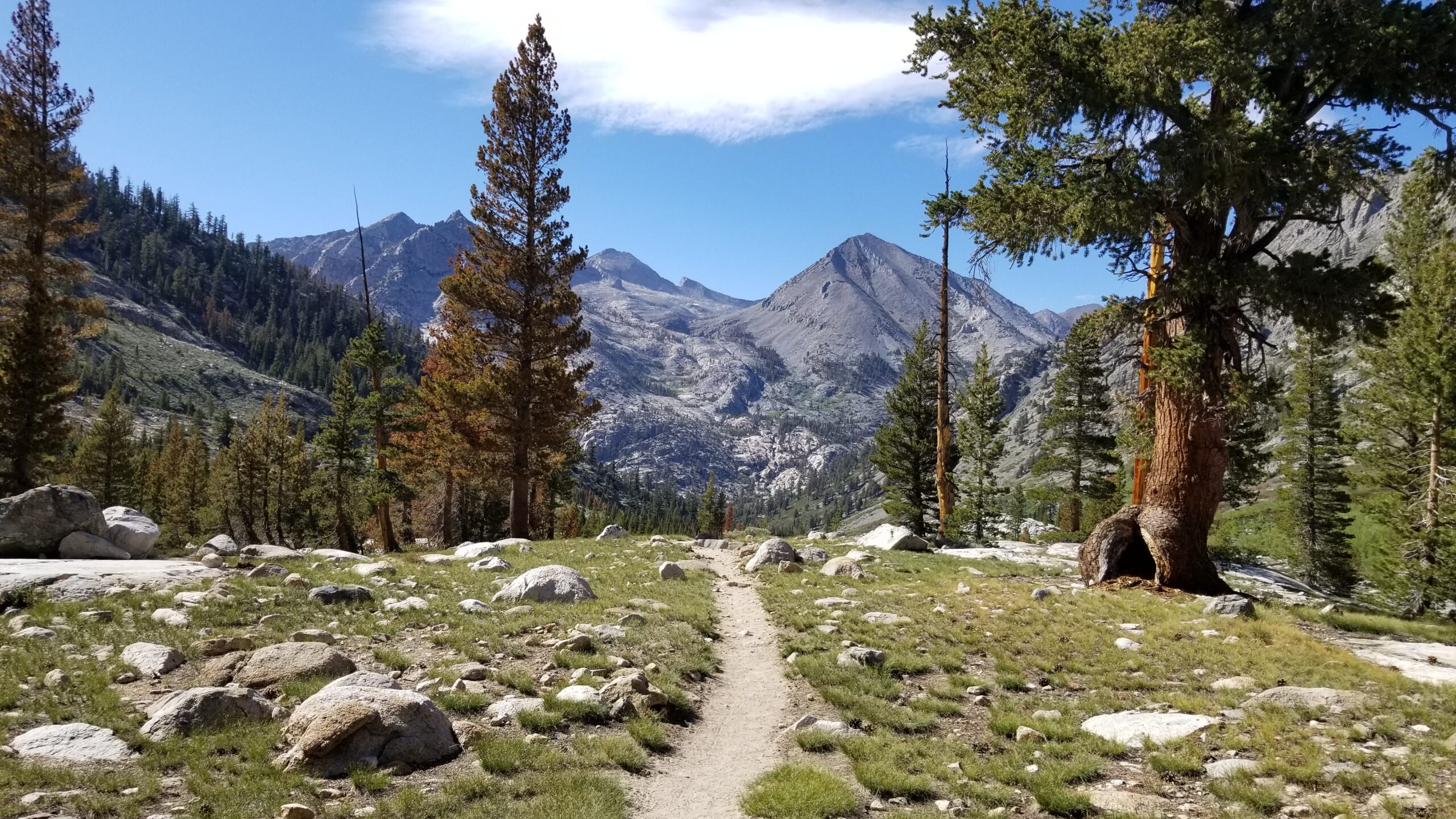
After leaving the river bottom the scene seemed to open up. The green grass field speckled with boulders and lodgepole pines seemed to singularly dominate the landscape. As we climbed the trees thinned, and only sparsely speckled the landscape covered in tundra and a few lakes. The grey granite started to take over again. The padded trail soon changed to chunky rocks and eventually small boulders which we had to dodge. This really started to go to work on our feet as we climbed. Switchback after switchback as we inched up closer to Mather Pass.
The flowers doing their thing!Izzie on another crossing.The climb continues!
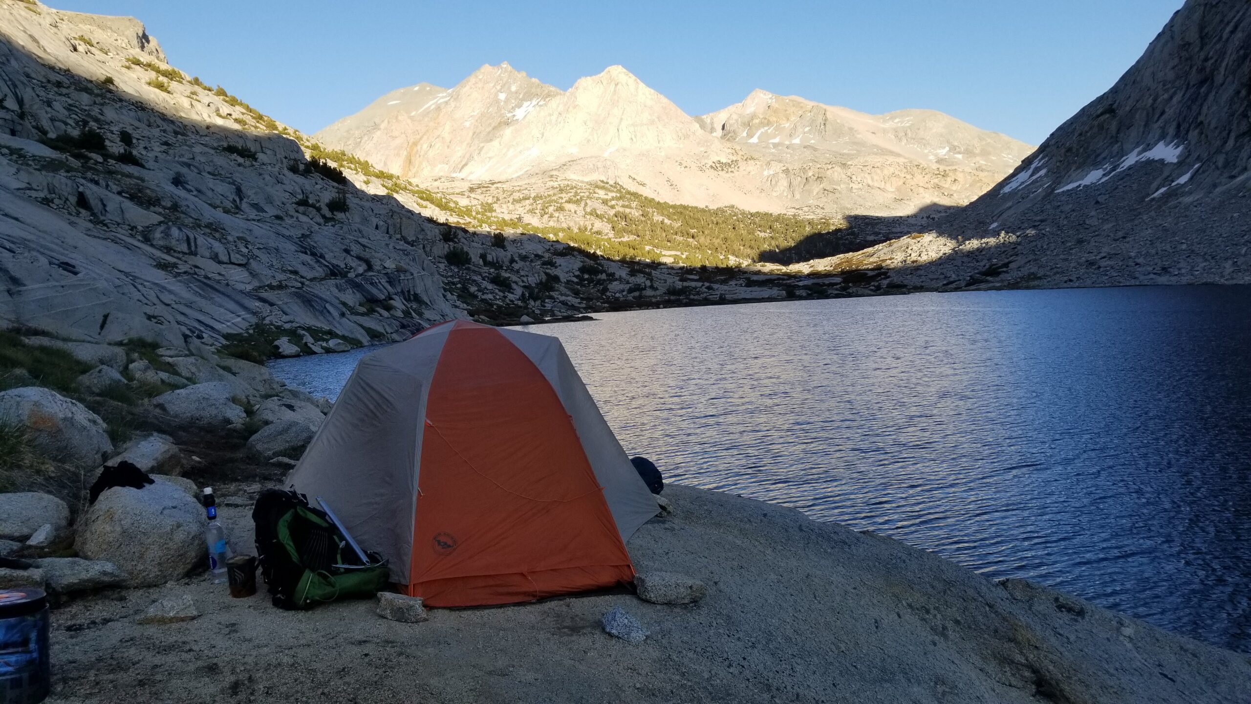
When we finally reached the top it seemed like a sigh of relief was in order, but a sigh too early. The downhill switchbacks were scattered with large rocks and we traveled carefully down trying not to roll an ankle, or stub a toe. The Palisade Lakes came into view but they seemed so far away. Yet, we pushed on, after rolling trail took us on a rollercoaster ride and really gave our feet a true beating we finally found ourselves on the edge of Palisade Lake. We put up our tent, cooked dinner, stretched, and crawled our tired yet satisfied bodies into our small snug tent. Another good day on the JMT!
Descending the Pass, headed to camp!Almost to the lake and finally food and rest for the day =)Camp at Paradise Lakes
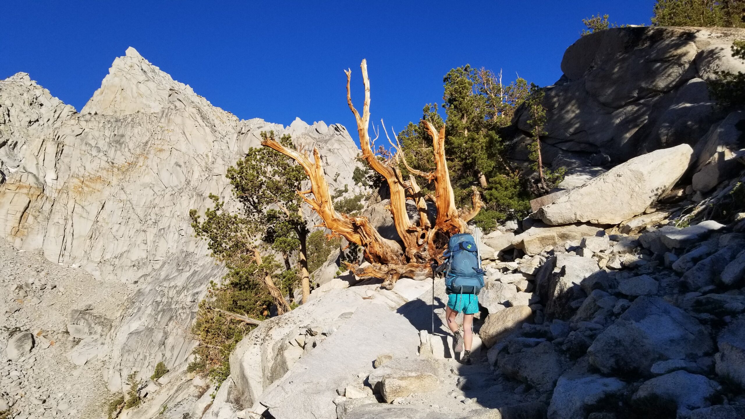
An imposing granite face over Flower Lake was the first to catch the morning’s light. The sun started peaking through the trees and gave all the leaves a golden glow. Another magical morning in the Sierras! We finished packing up after breakfast and quickly got on the trail knowing we had some climbing to do today!
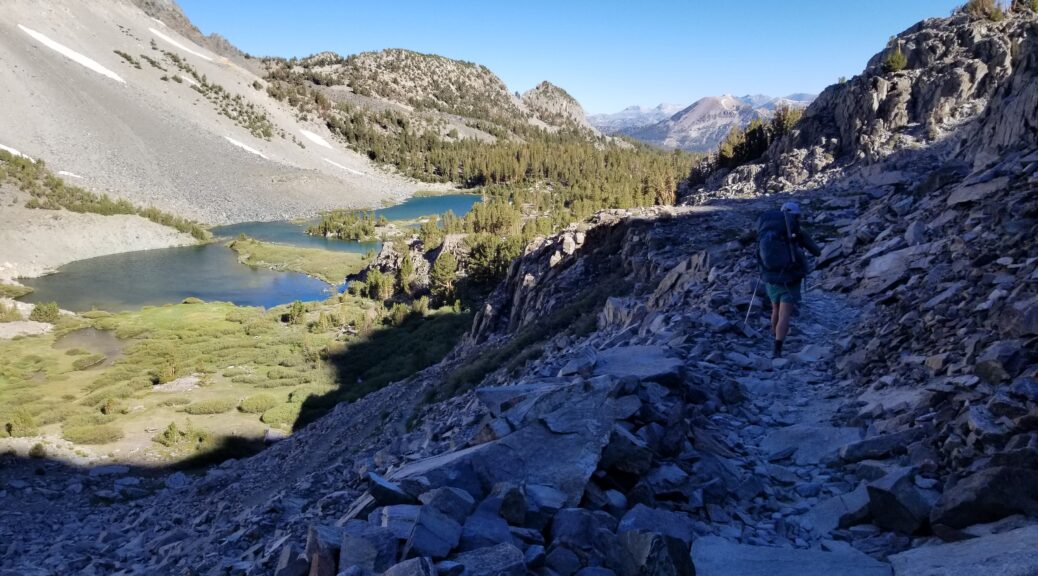
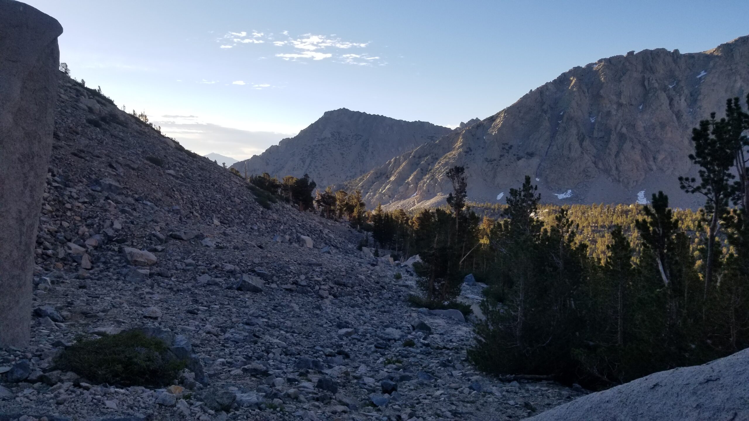
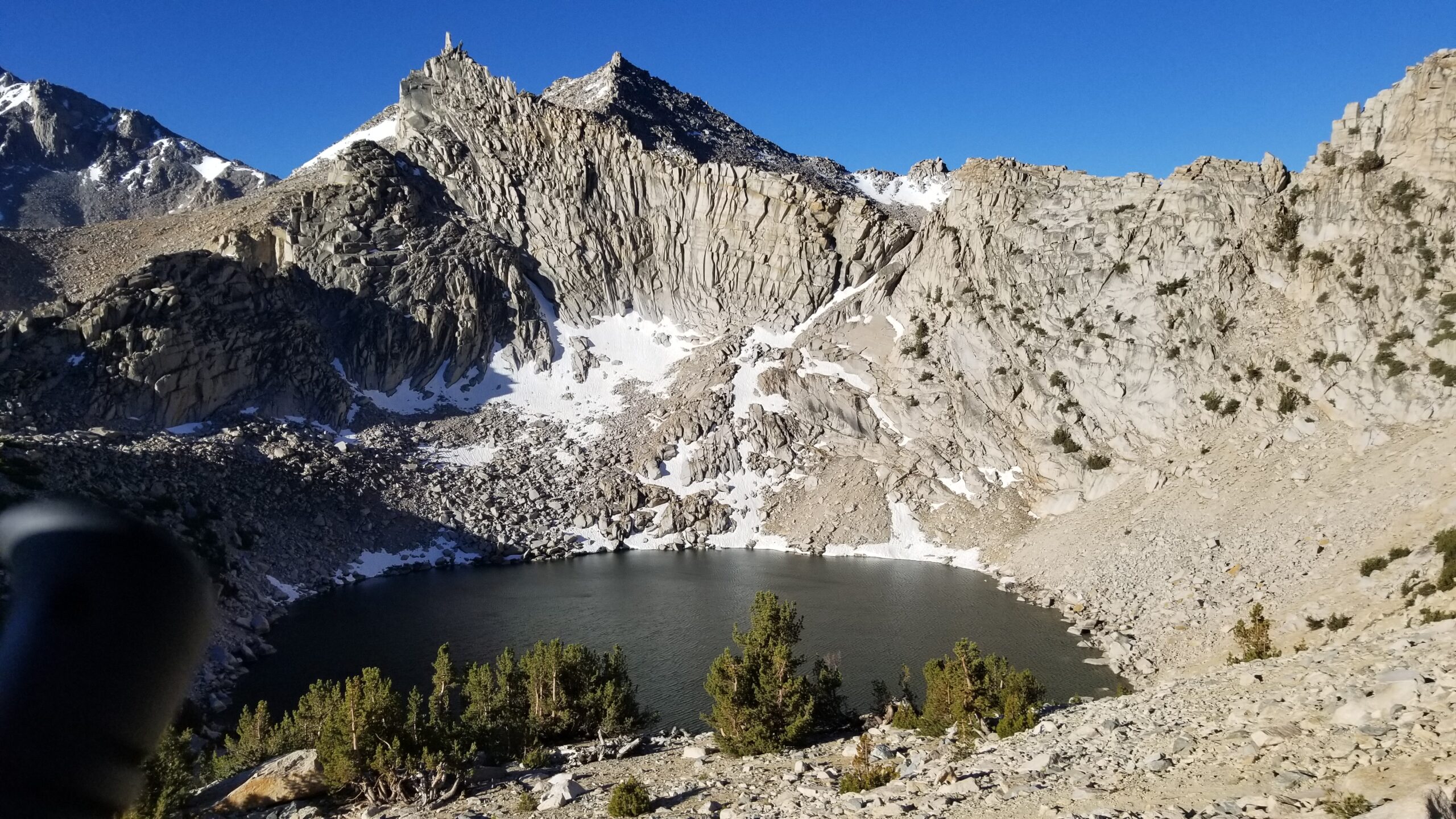
Trekking up towards Kearsarge PassBig Pothole Lake
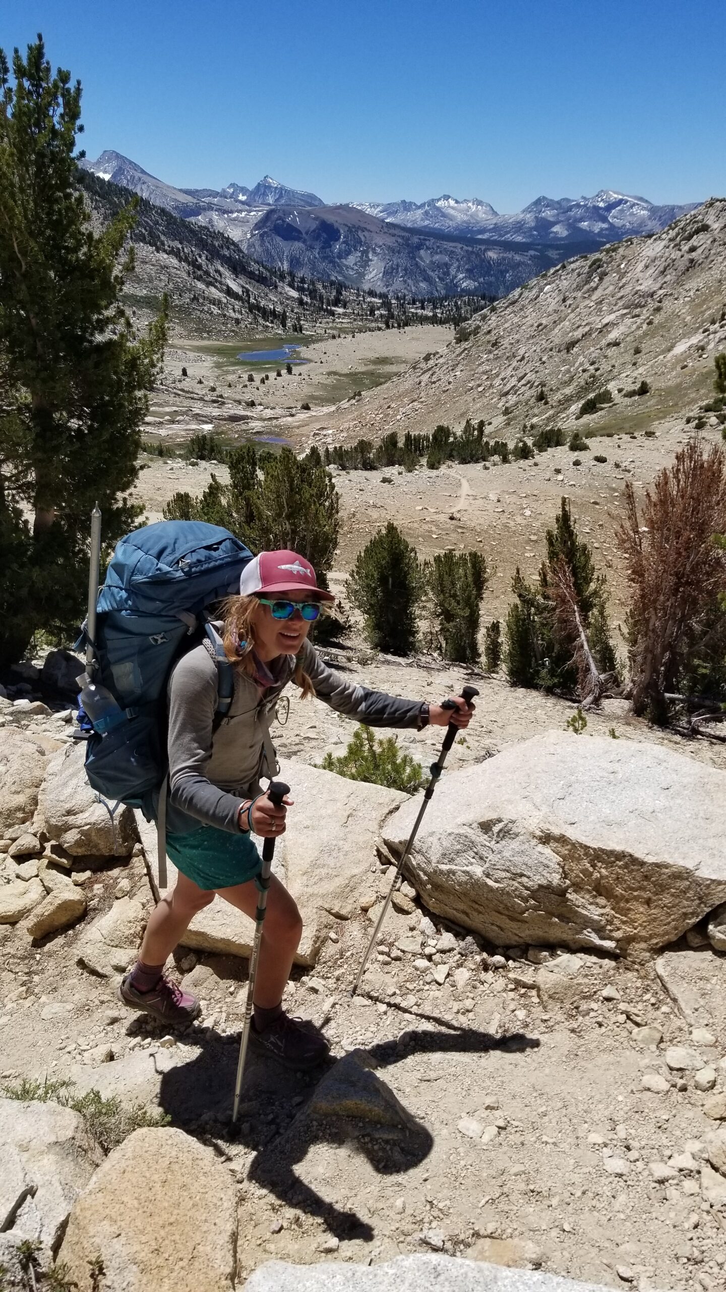
Hoodies off, we set out, Izzie in the lead pushing strong after resting her foot/ankle in the afternoon before periodically forcing it into the shivering lake. We both kept our stride, even when the wind started whipping as we approached Kearsarge Pass. Down in the lake below the switchbacks we could see the wind and sun’s work on the water’s surface. It whipped and swirled while the sun gleamed on its surface making rapid moving shapes like a murmuration of starlings.
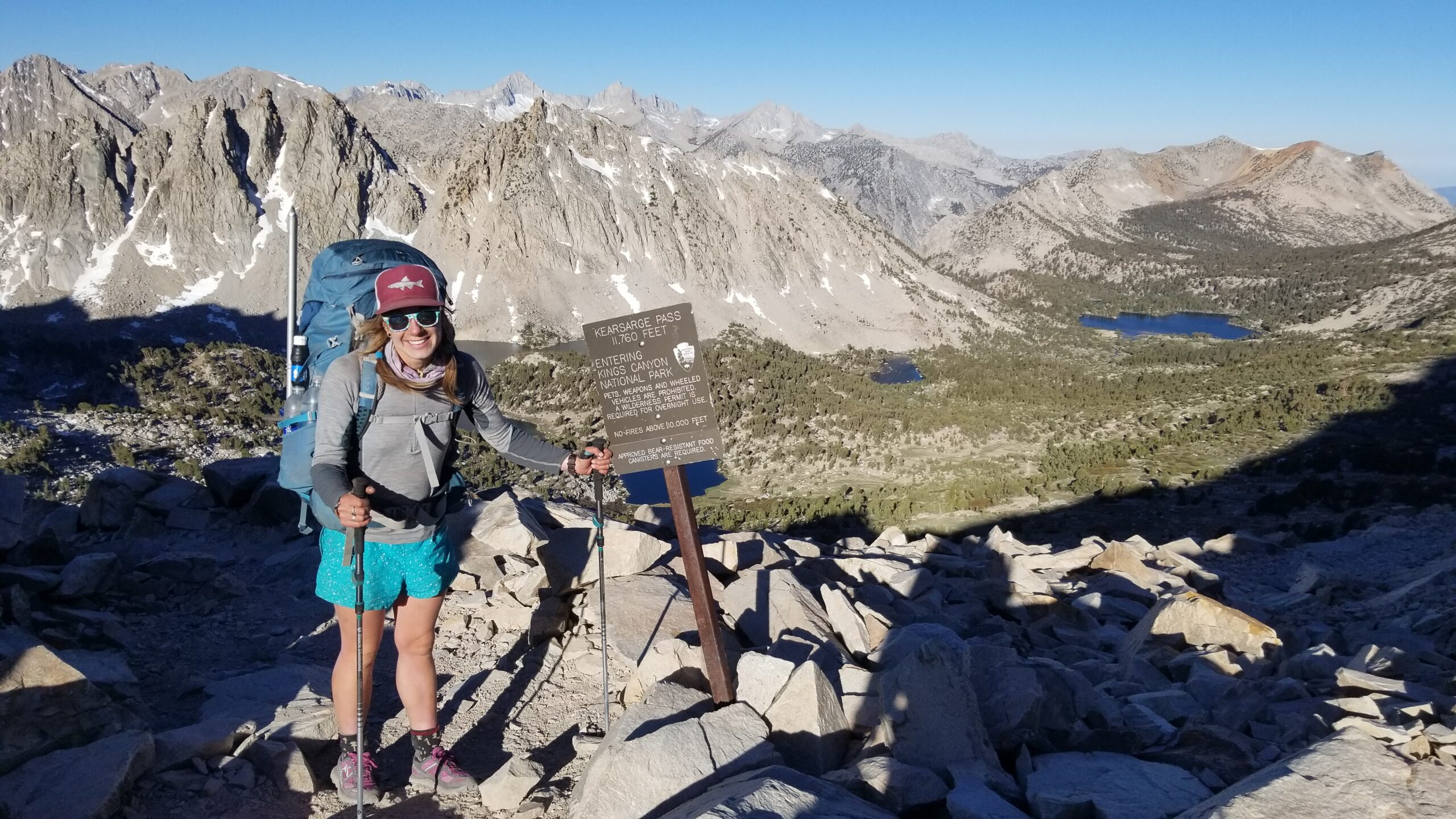
Finally we reached the pass and instantly put hoodies back on, the wind was unforgiving on the west side of the pass and nipped at our heels as we quickly descended, seeking refuge in the trees below. Small patches of ice were surprisingly still present on trail, we carefully navigated around them. Down, down, down, we went until finally reaching the trees, yet the wind still persisted. We could see Kearsarge Lake in the distance, and after a small hillock, the green Bullfrog Lake came into view.
Coming over the pass, nice and windy!Kearsarge Lakes
We trekked on and soon found ourselves back to the junction where the JMT meets the trail to Kearsarge Pass. From there the hoodies were peeled and a good climb soon ensued north on the JMT. Not many people talk about the effort it takes to gain the view from a pass. You can’t get it daydreaming at camp, or really experience the feeling watching a video with some epic sound track in the background, it takes work to get there, and work we did. The work was good, and so were the views!
First thru-hiker we saw all day! Ghost
The climb persisted after a short respite on a leisurely plateau, we climbed up above Charlotte Lake, which was set in a beautiful valley that was clearly shaped by a traveling glacier. On the far end of the valley a U shape was left in the granite face, and it was so cool to see its mark still remained!
U shaped goodness
Climbing still, we entered the final approach plateau to Glenn Pass where all the trees were hooked and bent towards the top of the pass as if to praise it or simply point the way. The way was up! We kept climbing, and after a few false summits we found the jagged lip of the pass and paused for a snack and to soak in the view.
Climbing up towards Glenn PassGlacier lake right before the Pass
We started to run into people, Ghost a NoBo PCT hiker stopped for some small talk, 2 JMTers from Sacramento looking like they were having the time of their life, and finally at the bottom of the snow patched pass we met a couple who had just got engaged at Rae Lakes! The gal beamed with delight and we chatted on for a bit about their 60 Lakes loop.
Almost there!Poking up and over the pass! Fun snow field ahead!
After leaving the couple we bombed down towards Rae Lakes. The upper lake was crystal light blue in the middle, green turquoise towards the edge and finally orange at the rim from the vegetation and shallow bank. It looked almost like a human Iris, glinting in the light, and absolutely breathtaking. We soon found a nice spot for lunch and took a cold plunge in the clear waters. Although the wind still lightly blew, the sun warmed our cold skin and we laid out like lizards hoping for warmth.
Beautiful Rae Lakes belowHappy chilly faces!Snow traverse!
We packed up and headed around the lake. Grey Jays flashed by in streaks of grey, black, and white. Brook trout swam just feet from the water’s edge and in the distance a quaint cabin stood overlooking all this beauty. I could only imagine what it must be like to live there, even for a brief season.
Water bridge between the lakes!Dragon PeakFresh and revived after a good swim =)
We started descending moss filled valleys crisscrossed with creeks, sprinkled with flowers and lush meandering meadows took over the plateaus. We descended a long staircase of plateaus from which each had its own lake and accompanying meadows, each lake would deepen in green as its size grew until towards the lower steps of the stair case the lakes were forest green.
Fin DomeSketchy sketchGreen meadows, headed down valley
On one such stairstep we met a Ranger named Mike and his wife Leanna who were staying in the Ranger Cabin for the summer. It sounded like a dream job, well perhaps not policing the public and making sure they are properly burying their feces, but I guess that’s a small price to pay for living in paradise. We chatted on about fish, fire, browning trees, mountains, all the important things, before finally saying goodbye and heading farther down the valley.
Coming past Arrow and Dollar LakeHeaded down South Fork of Woods CreekCastle Domes in the distance
We headed down and at the far end of the valley a large granite south facing wall named Castle Domes could be seen that was clearly formed by a glacier. It looked like a big blob of ice had slowly slid down its face making new wrinkles and curves that still held up to the test of time. We soon found the flora starting to change. Around 9050 feet we found our first aspen trees of the trip! Soon after our first purple lupin, followed by Indian paintbrush, sage, and beautiful little green ferns. Cedars started to appear and soon after silver firs.
The flora becomes more lush and green as we head below tree lineCreeks are neat!Pines are showing off their stuffSnack ready?!
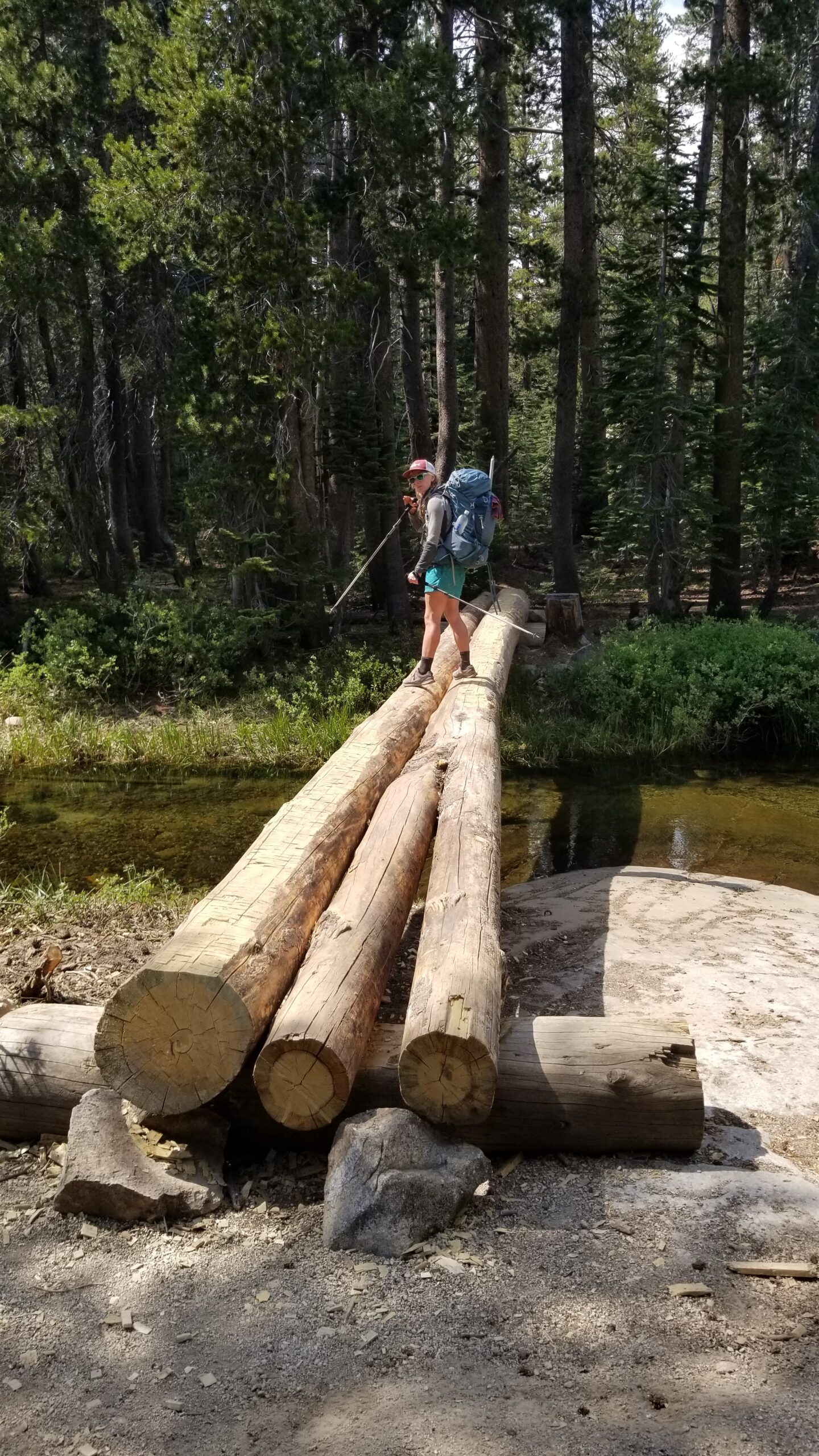
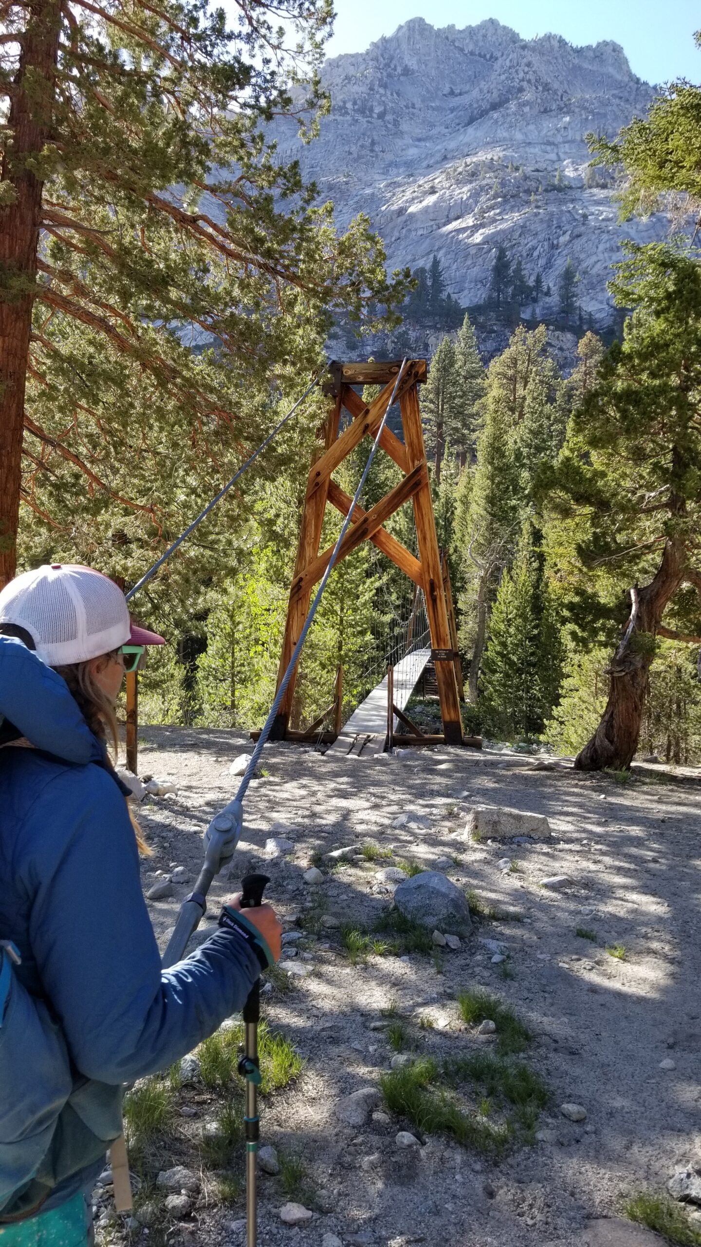
We took it all in until finally we reached the suspension bridge giving passage to hikers over Wood Creek. We passed over one at a time (as recommended by the signage). The bridge swayed as we walked, not only up and down, but also side to side, finding a wave pattern in harmony with the rhythm of our stride, it was a pretty cool experience to have in the middle of nowhere!
Bridge!
After crossing the bridge we started pushing up the final stretch of trail before camp. It immediately amped up the elevation gain. This southern facing hill was dominated by Jeffrey Pines, as it was in full sun most of the day, and only broke by small streams running down towards the canyon bottom where more lush loving foliage clung. A large creek rushed down slickrock in the belly of the canyon trailside as we hiked north. The sun began threatening to hide behind the mountains just before we finally reached camp! It was a mashed potato kind of night and we were both thankful to find refuge in the tent on a flat pad beneath the shelter of a birch tree. Man what another great big day!
Back up we go!Woods Creek proper!Neon moss, yes please!Clouds get moody right before bed!
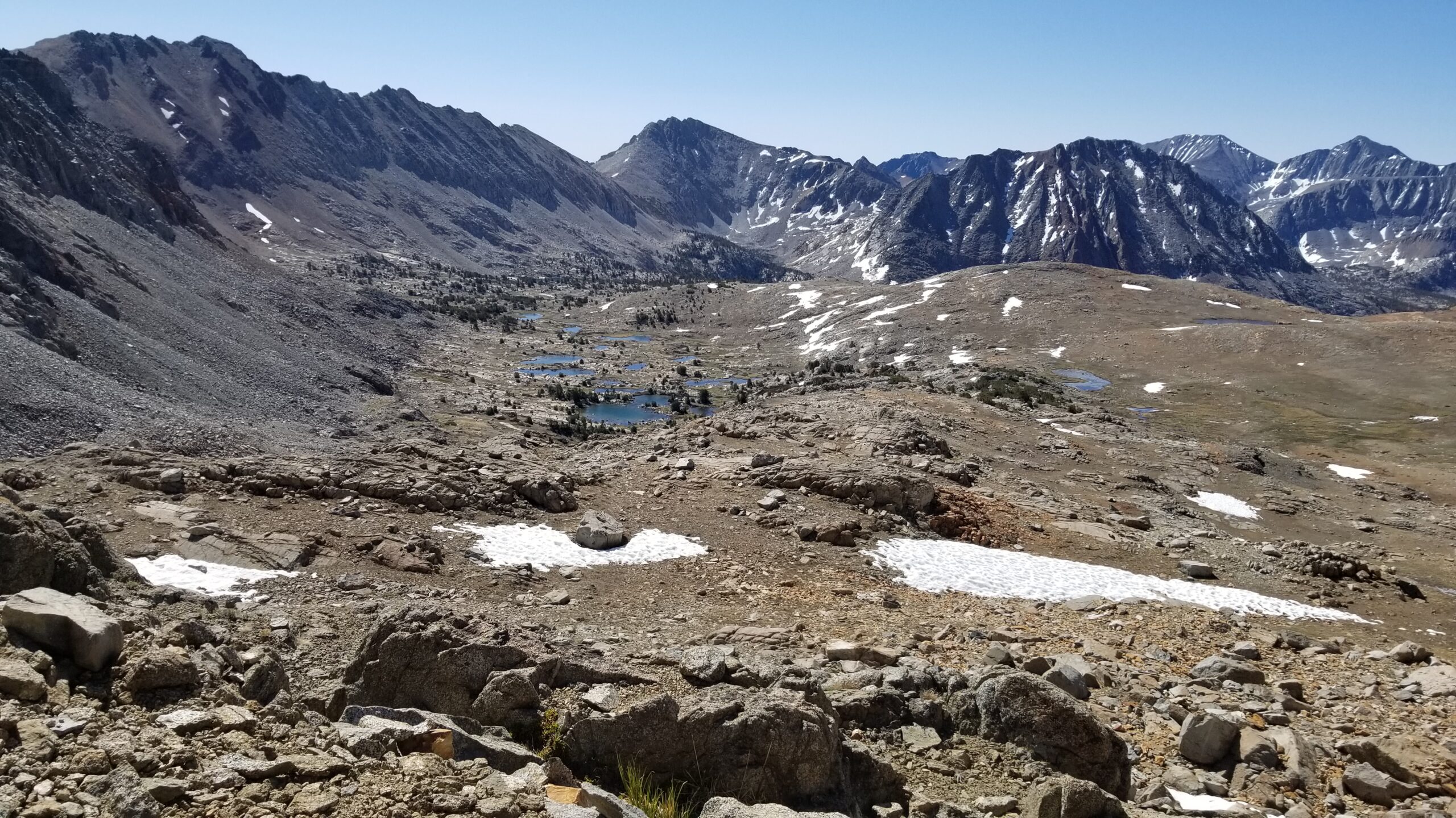
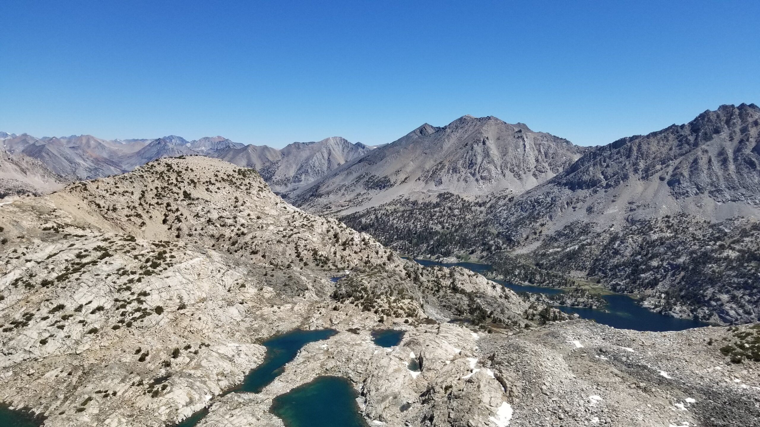
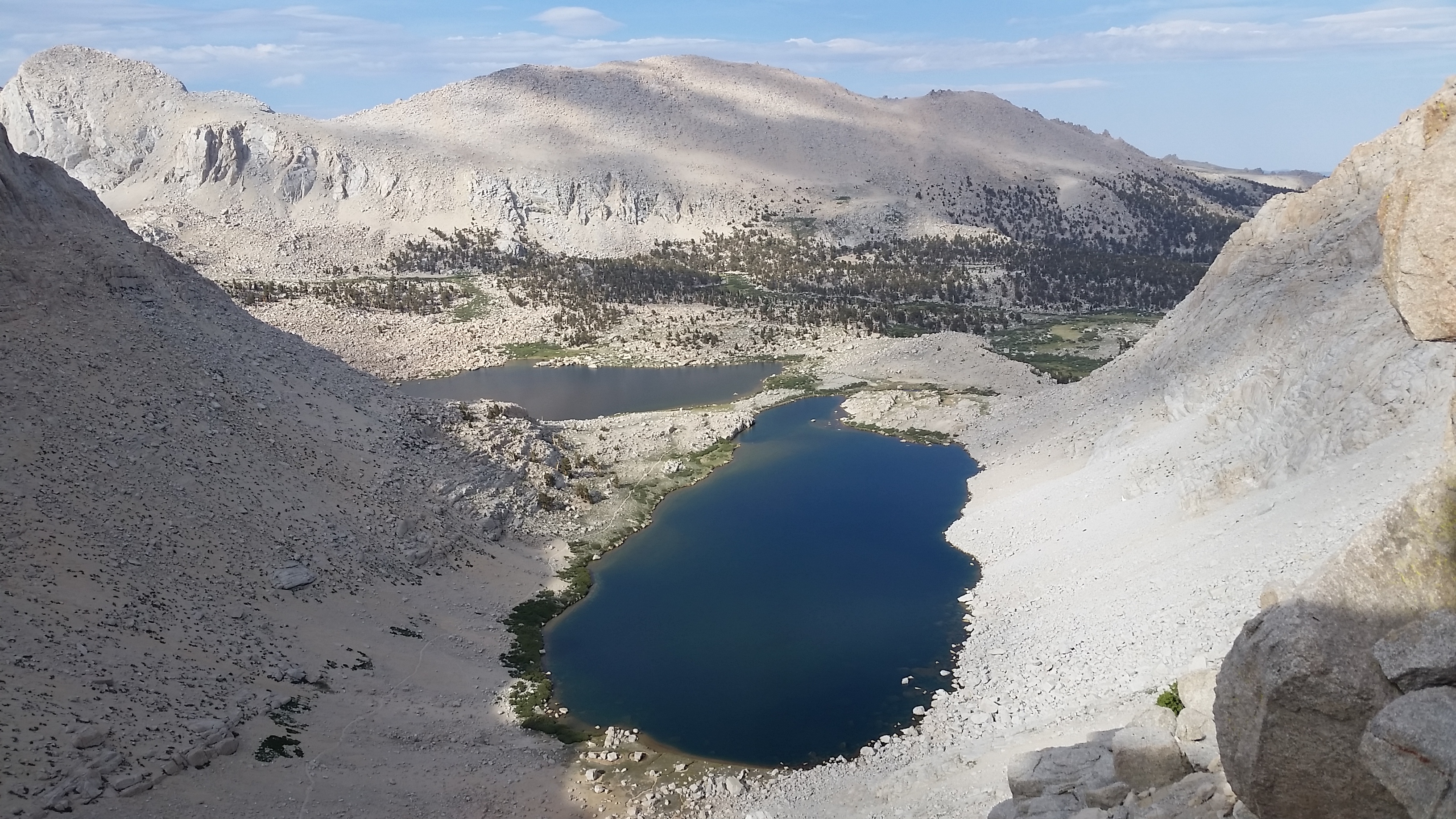
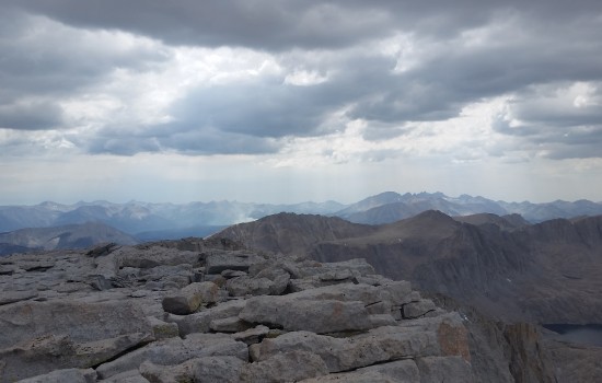
Looking back at lake 4 and 5 from the summit plateau
In usual tradition for any Sierra trip, a buddy Mark and I headed out after work on a Friday to drive the 9 hour trek to the trail head where we would try to sleep for a few hours before the alarm sounding signaling the encroaching daybreak was imminent and the start to our Journey up a 14er would begin. The trip to attempt to summit Mount Langley was no different. Tired and exhausted from the drive with a quick pit stop in San Bernardino to pick up Mark’s brother, we pulled up to the trail head to find every parking spot filled, no empty camp in sight.
Starting out on the trail – beautiful pines
We searched the area, looking for a suitable camp spot, only to find it took a drive down the cattle road and a short jaunt into the woods among the pines to find something worth calling camp. Exhausted we set up shop, packed our gear away, and were quickly sound asleep in a four man tent under the night sky. Morning came early, too early I thought as my alarm sounded. I hopped up, poked my head out of the tent, and knew it was time to go to work. We packed up the site, got our packs together and drove to the trail head strapped up ready to roll. This would be our 3rd California fourteen for all 3 of us; we smiled like exhausted idiots, knowing this was the price to pay to see the top, and took our first steps onto the trail.
Twisted looking pines on trailside
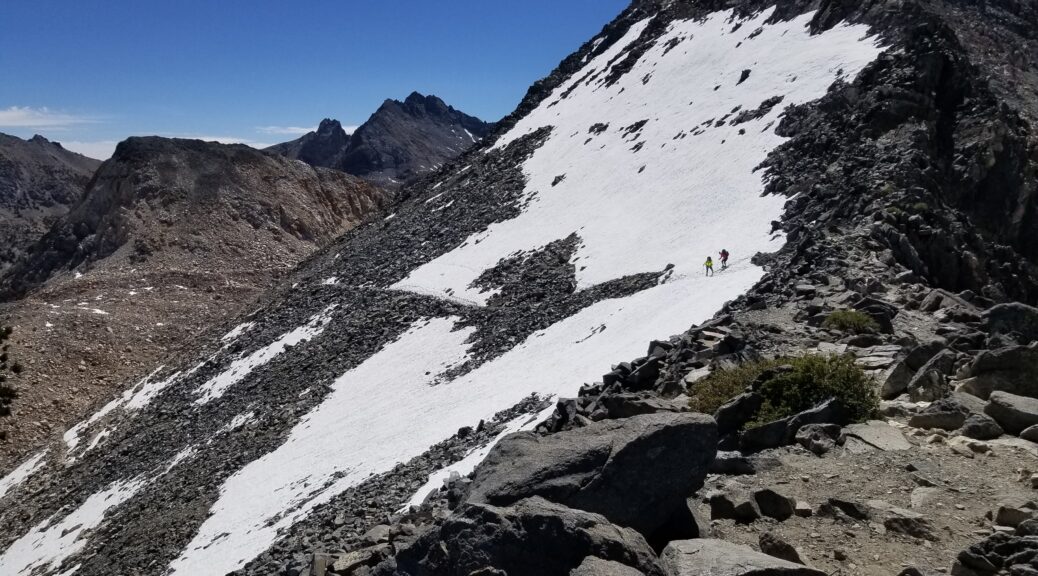
I love being among the pines, the padded trail was lined with them, some dead from a recent forest fire, some dead from lighting strikes, other thriving in the sunlight at 10,000 feet. We trekked on weaving in and out along the trail, open green fields in the distance beyond the pine thicket. There were a lot of backpackers on the trail descending the mountain. We stopped to chat with a couple of them. We planned to take Old Army Pass up to the summit plateau which was the only crux that stood between us and peaking the 14,026 ft Mount Langley. The two fellas we stopped to chat with told us there was a way to circumvent the snow covered pass which would most certainly require crampons and an ice axe. They spoke of a short 60 foot scramble just to the left before the snow drift, we decided to go for it and forego the longer more populated New Army Pass route.
John, you did a good job my friend
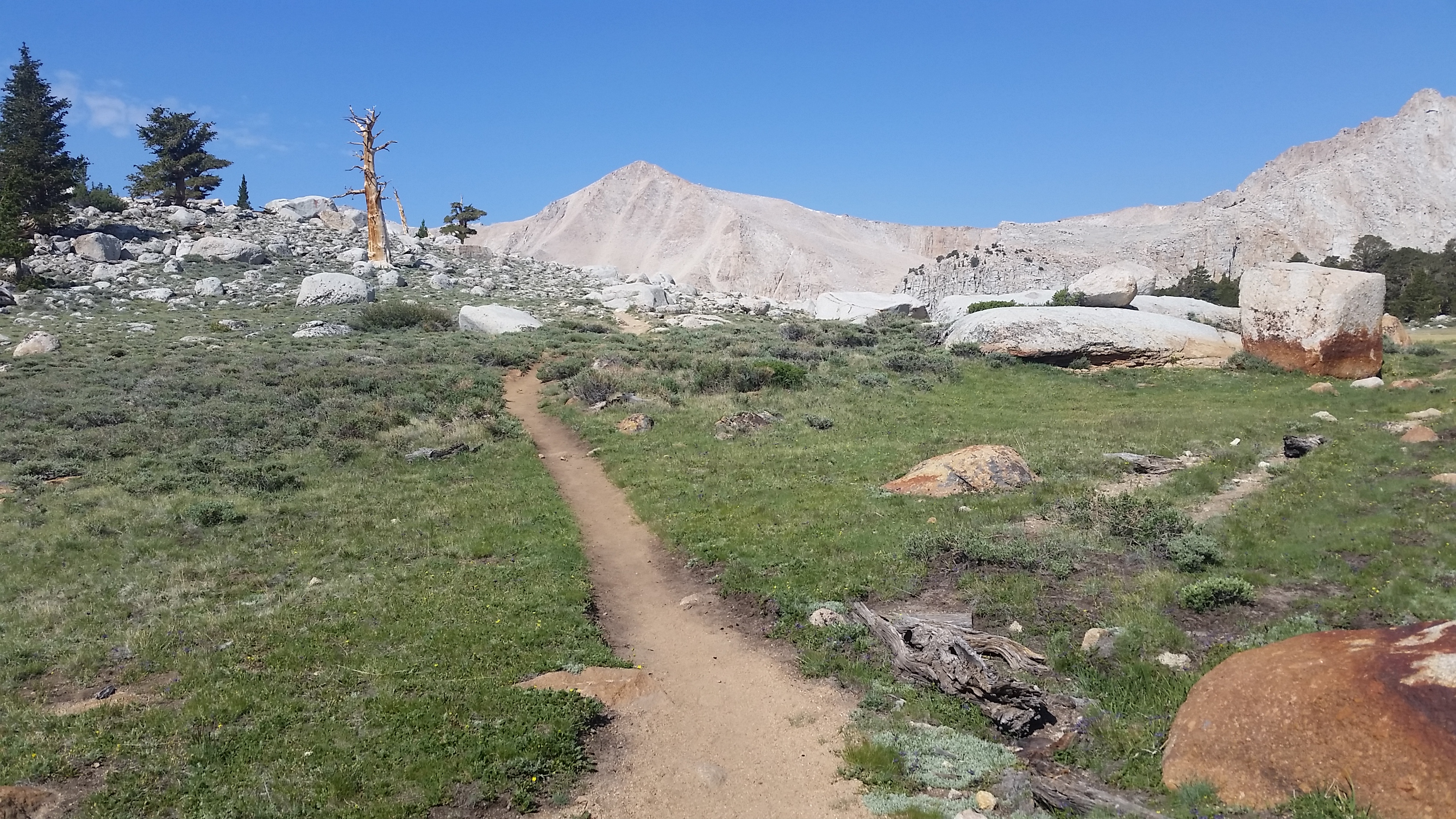
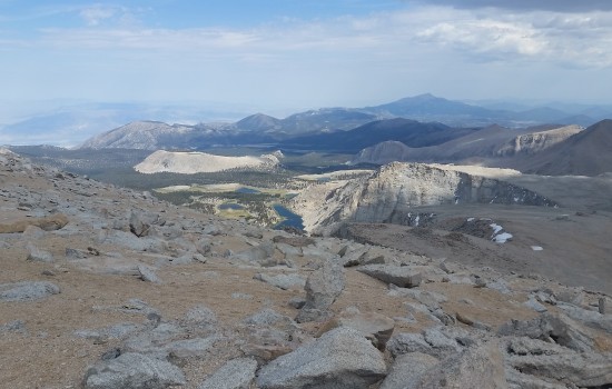
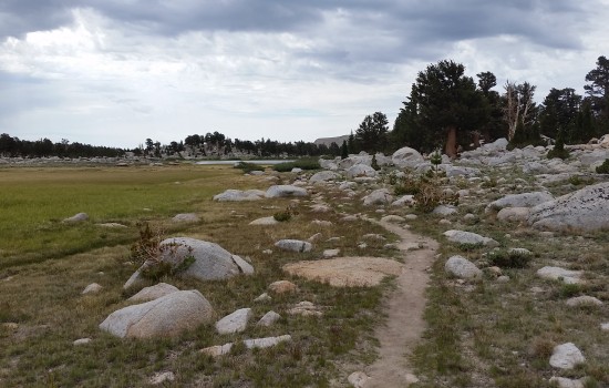
Taking the fork towards Old Army Pass we hit some big switchbacks that really got the heart pumping. We climb up and up exiting in a beautiful open meadow that housed the glacier lakes where we hoped to camp for the night! It was gorgeous and wide open, the pines were more space here given the altitude but the grey rocks were still a beautiful sight to see. We pushed to Lake 5, finding a nice flat area to ditch our gear and take a well needed rest. Marmots and small birds were the only animals we found here, that and the few other trekkers seeking adventure. We looked up at the pass curious if we would be able to reach the summit plateau or if our efforts would be thwarted by an impasse.
hitting the glacier lake meadow after the switchbacks
Where we came from and where we’re going (click to enlarge 360)
After dropping our gear we started ascending the pass, hearts were back to pumping the low oxygenated air through our muscles as we pressed to the crux. I was the first to reach the snow and started to assess the situation. The snow bank left in the shade had a nice 400 foot drop below it, the penalty for a mistake here was certain death, and there had been many who attempted it and didn’t come back. Mark and I found the rock chute and took the scramble, while Mark’s brother Michael (who had the ice axe and crampon) decided to go for it. After the sandy rocky loose chute we reached the summit plateau and began to look for Michael who was nowhere in sight. Fearing the worst we hiked towards the exit of the pass. Just as we did, Michael came into sight and was just sitting, waiting. We regrouped and pushed for the peak.
Rock chute to bypass the death snow luge
The push for any 14er is always tough. The oxygen is thin, your body is tired, and every part of you says stop, except your will. We pressed on, up the huge cairn stacks and beyond to the rock scramble that lead us to the snow patch, and eventually the summit. The granite rock plastered the higher altitude landscape, not many creatures or plants could survive here, but it was still gorgeous. From the summit we could see for miles and miles in all directions. The drop off from the peak’s really got everyone’s nerves on edge.
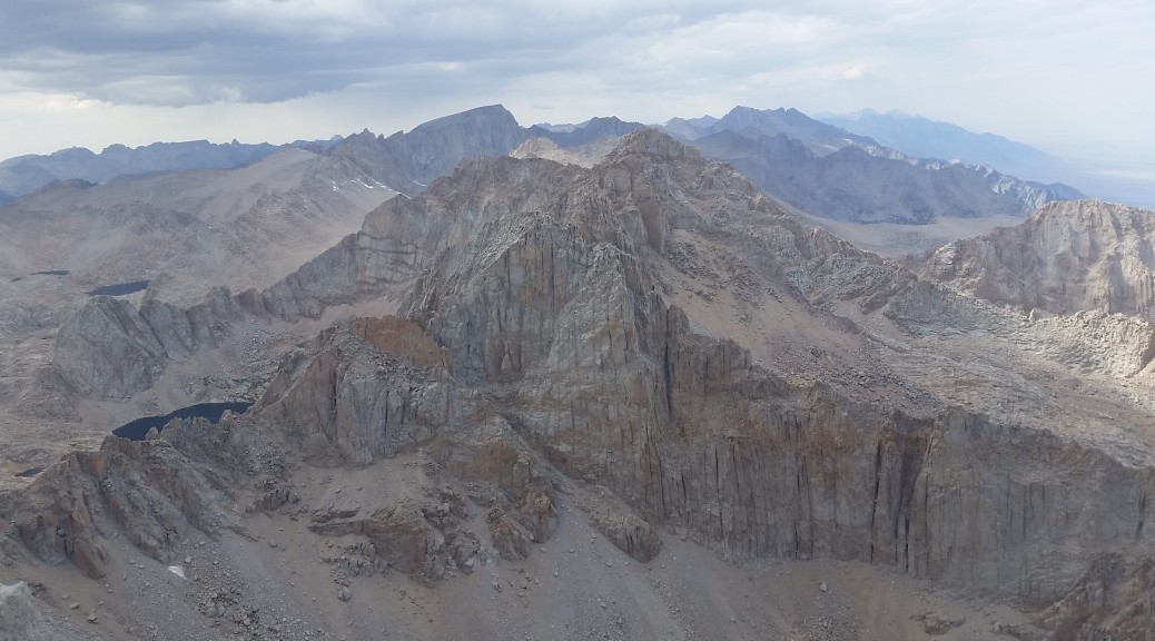
The Sierras, what a killer place, Mount Whitney in the distance
I had only been at 14k a handful of times before this, but for some reason (I guess I was having a good day) the altitude didn’t suffocate me, and I took a nice nap after cheering a celebration brew with my friends post peak. When I woke I looked around to the surrounding area in awe, took pictures like a tourist, and signed the registry with everyone. I put a note in the box for HB; it was her hike to summit after all, even though she couldn’t be there. Said my peace and headed down.
talk about a cairn to guide you way, don’t think we will be missing this one!
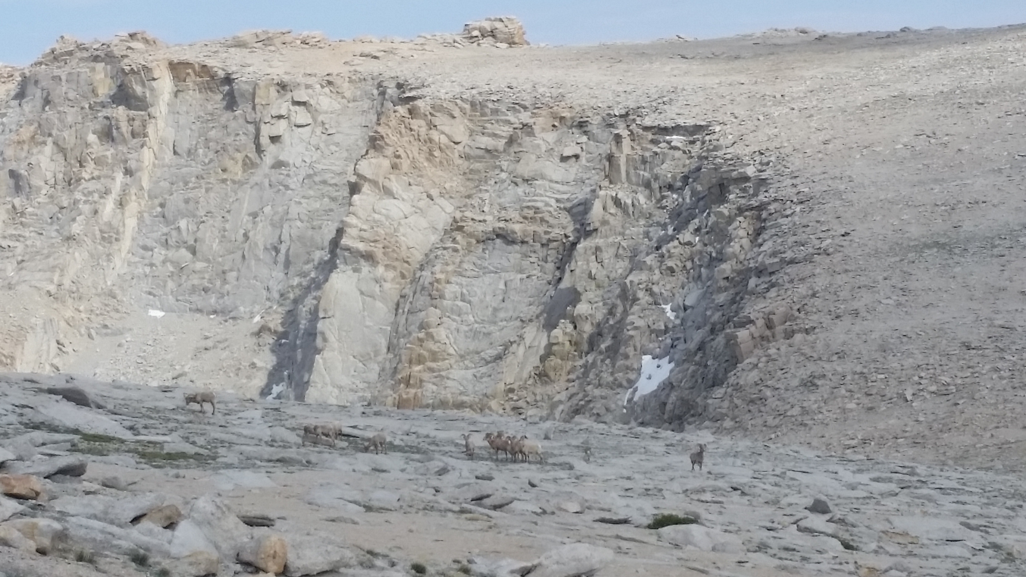
On the way back we decided to take the traditional route down the summit plateau down the west ridge. As I walked down the sandy slopes, loose rocks and dirt would try their best to catch a ride in the bottom of my shoes. I had to stop a few times to clean them out, but nothing would deter me from enjoying the view of the incredible landscape surrounding us. We trekked on and finally rounded the corner to the Old Army Pass. There, standing out in the field between us and our route home were 13 Rams. It was incredible!!! The Alpha male was standing out big bold and strong ready to take on any challenger that dared come too close. We (as passive as possible) made a large circle around them attempting to get to our route down without disturbing the herd. I have never seen so many rams in one place, even in pictures; it was truly a perfect moment on the mountain.
Group of Rams, Alpha is off to the right standing guard ready to take down any challenger
After finding the chute we climbed down back to camp, exhilarated by the days trek. We got back, set everything up and chowed down on some much deserved dinner. What a day! We woke in the morning, had breakfast, snapped pictures and appreciating the landscape, and took our time heading back down to the trail head where we camped again for one more night before the long drive home to Phoenix.
Meadows
Glacier Lake Meadows
Killer views
Killer views from the top
Looking back down towards the lakes and camp
heading back
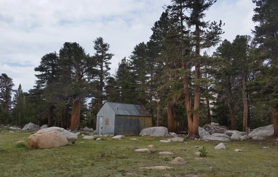
metal shack in the Lake meadow
Creek crossing
Old Army Pass
Headed up the trail
Flowers on Old Army Pass
Plants gathering around the creeks in the lake meadow for a drink
cool waterfall just below Lake 5
Padded trail
Scribbles on the side of the tin building in the glacier lake meadow
ohh pines
Fallen fella
wood beatles going to work
looking back at what we accomplished
love me some pines!
HIKE STATS:
Weather: Hi 60s, Low in the lower 40s, Overcast/Sunny
Cosmic Down Kelty Sleeping Bag (rated to 20 deg F)
Jet Boil – Sol
Black Diamond trekking poles
Sawyer squeeze water filter
CLOTHING:
Smart wool 195 long sleeve shirt
Arc’teryx hoody
Smart wool beanie cap
Patagonia Pants
Merrell Mid Moab Hiking Boots
Darn Tough wool medium weight sox
Giro Mountain Biking Gloves
Seeking Outdoor Adventure
Find an Adventure
There are TONS of resources out there. Books, websites, word of mouth. These are just a few Go To sites I use to find hike, climbs, and all around adventure.
Do your research on your hike! ALWAYS bring a paper map, do not EVER solely rely on a GPS track to get you there. Alright, now that the “spiel” is out of the way . . . here is how you create some killer custom GPS tracks for yourself that you cannot already download online (and just straight up don’t want to pay for).
Put your GPS tracks to work. You should technically use an actual GPS devise for your tracks. Garmin’s are super solid, accurate, waterproof, and wont break when you drop them. If you don’t have $300 to drop on a GPS, and you are just hiking around town, there are a few good phone Apps will serve the same purpose. The following Apps will allow you to pre-download maps and overlay both GPS tracks and your current GPS location (you don’t need a cell signal, just a clear view to the sky for GPS):
Go prepared! Places like slot canyons or river crossings could quickly swell, or turn into flash flood areas, leaving you stranded or worse. As a part of prepping for your trek, choosing the appropriate gear for weather is critical so you aren’t caught with your pants down.
I like to use a few different sources to cross reference. Here are some great sites I use regularly to check for weather: