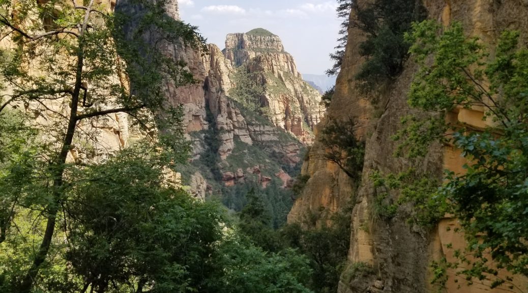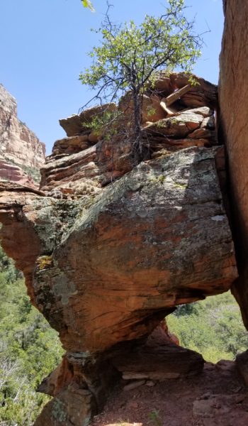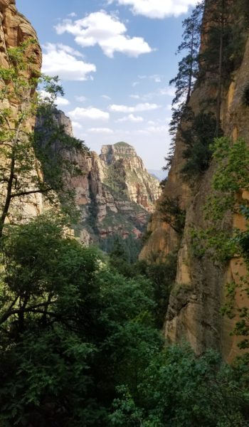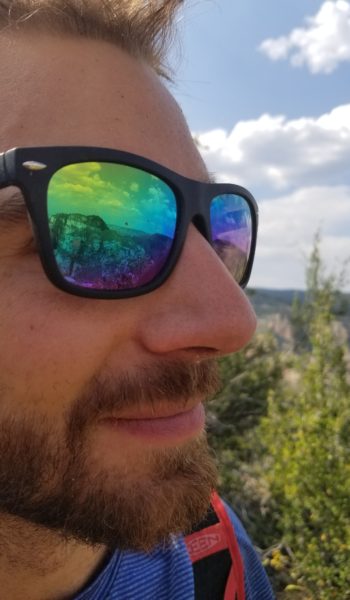

I met my buddy Chris in the parking lot just near Yosemite Falls, waiting with a big smile! There I met Jeff, a new friend, as we gathered our gear. We initially planned to climb a fun multi-pitch traditional (trad) route called Sunnyside Bench near Yosemite Falls. We racked up in the parking lot, grabbed our ropes and packs and headed for the base of the climb. As we approached the falls we noticed the water was raging! This was a record year for snow and thus the flow was on epic proportions. The huge waterfall thundered down before us and its spray covered a huge area around the base. We walked across the bridge, getting wet as we did, towards the base of the climb.
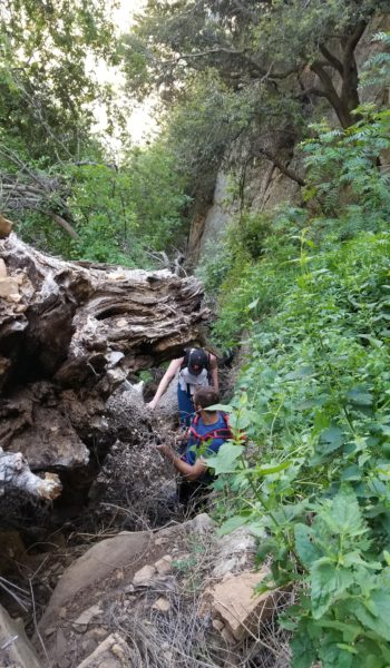
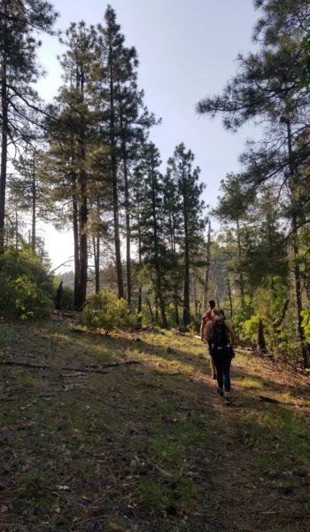
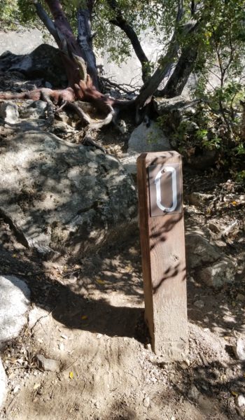
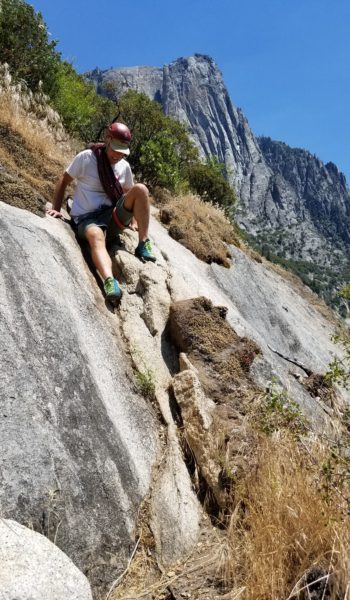
We reached the start and noticed the entire first pitch was drenched in water. Let down, but not beat, we went for plan B just on the other side of the falls, called Munginella. It was a fun trad route (5.6), and a good introduction to Yosemite multi-pitch climbs – and a chance to get my feet wet on Yosemite granite rock. We took off up the climber trail and soon found ourselves at the base of the first pitch zero (P0 – scramble pitch) of the climb. We tossed anything we didn’t plan on carrying with us in the nearby trees, threw our helmets and climbing shoes on and headed up the chill class 3 scramble to the base of P1, signified by a nice large tree.
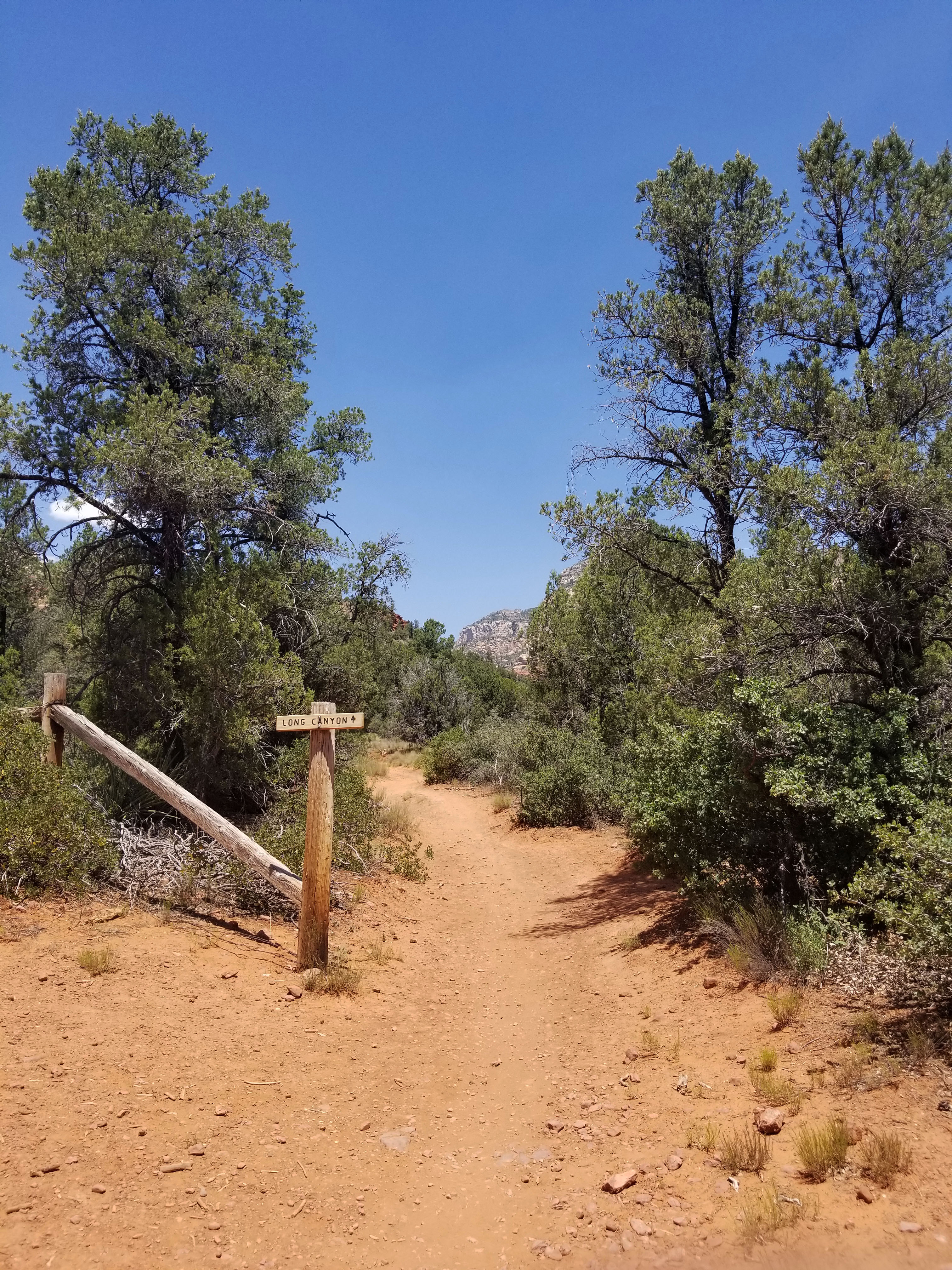
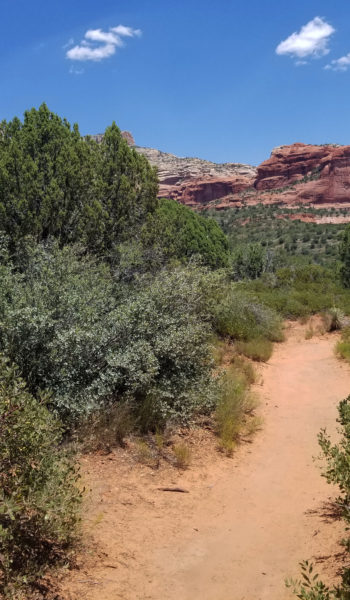
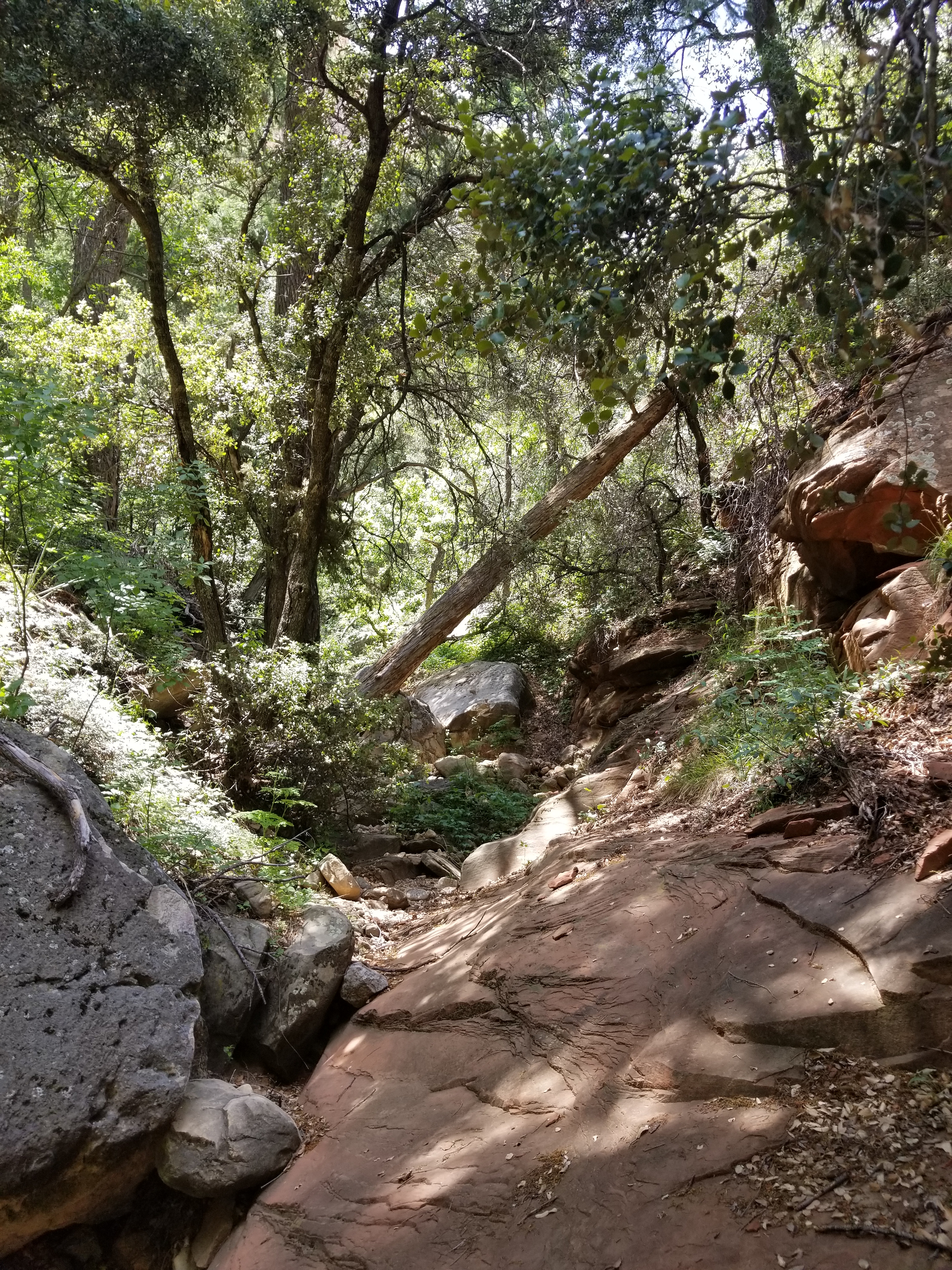
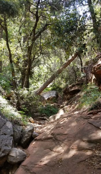
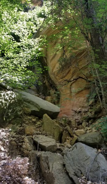
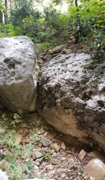
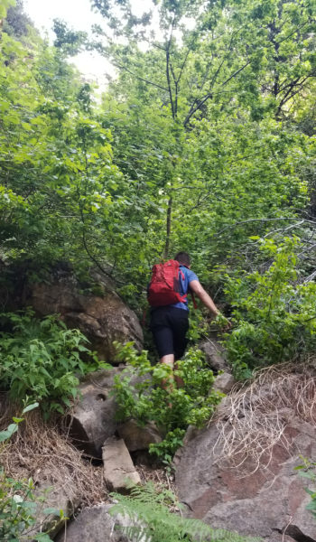
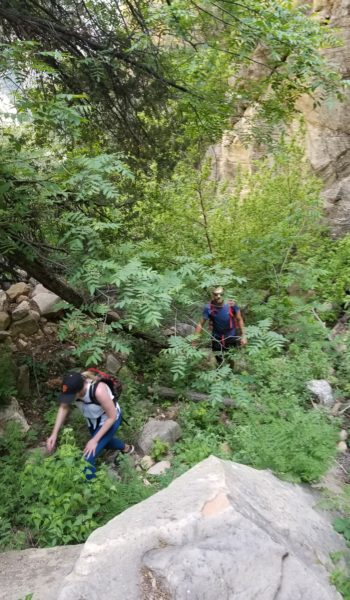
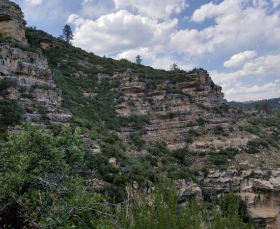
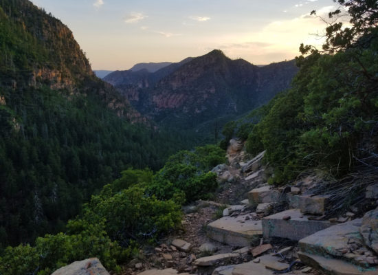
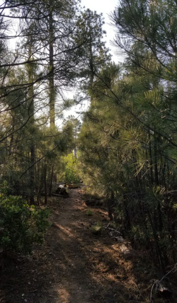
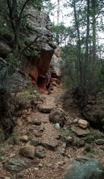
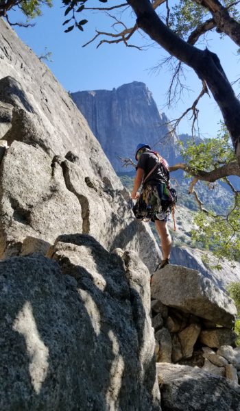
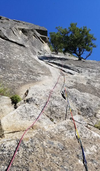
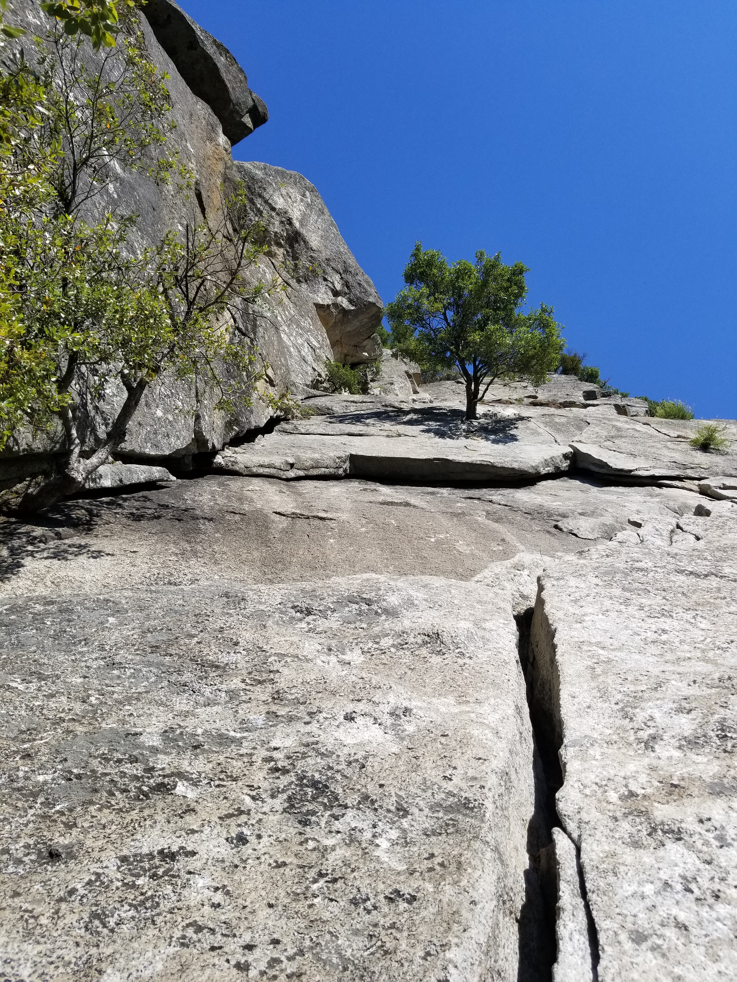
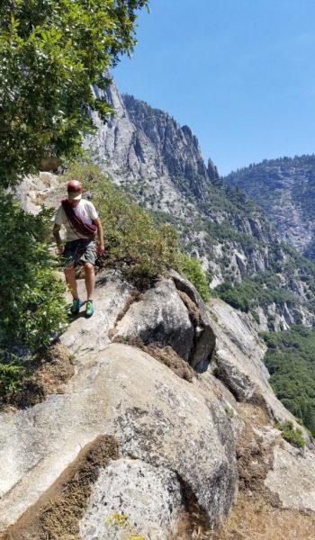
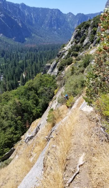
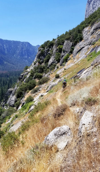
 Start of climbers trail
The sun was already beating the climb as we sorted the rope in the shade of the base of P1. Chris was first up to lead, I would belay him from below and once Chris reached the top of P1 he would belay both Jeff and myself as we simul-followed, leaving me to clean all the trad gear from the route and take the next two leads. We double checked each other’s knots and gear before Chris took off on the first pitch!
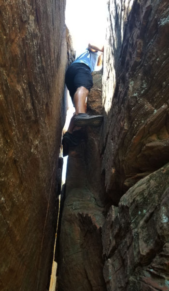
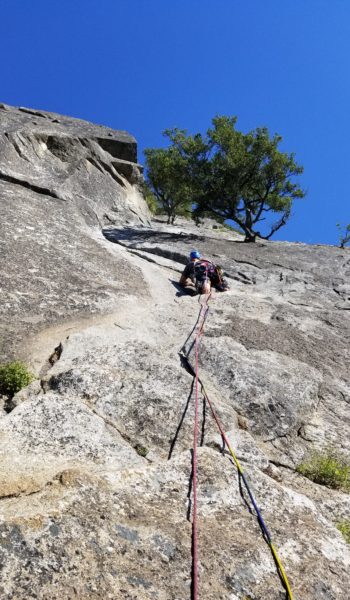 Chris starting Up P1
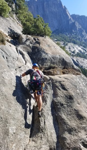
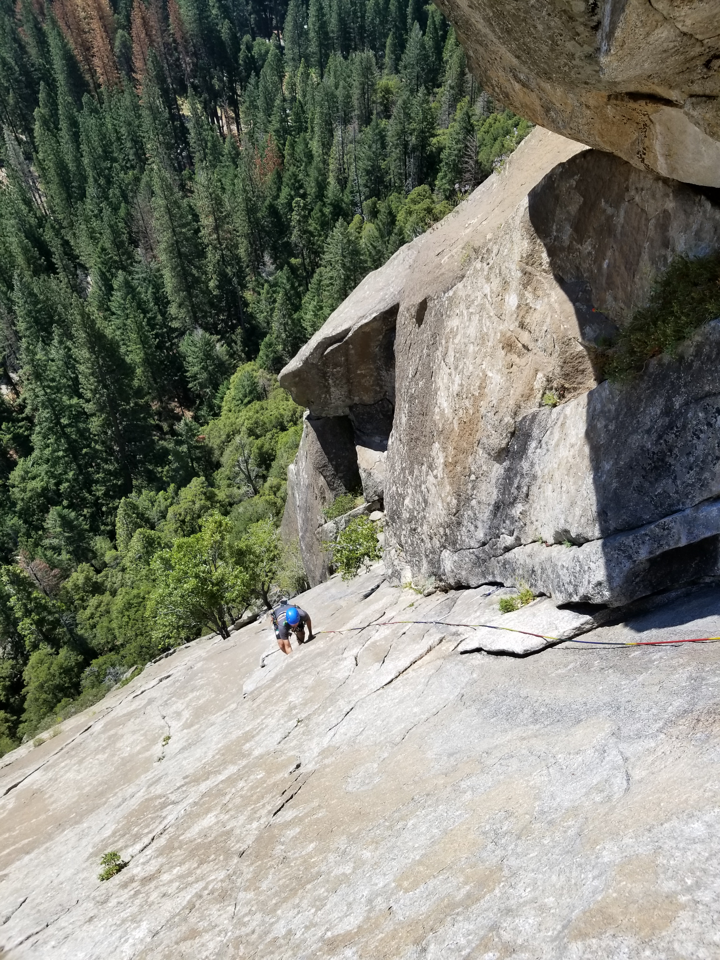
Methodically and quickly moving up and over the rock, Chris climbed on. He would pause every few feet to place a solid piece of protection (pro), clip in an alpine draw and then his rope, before moving on and up the route. Making it look like cake as he took down the first pitch, me and Jeff chatted on about what we did and what brought us to the valley. To ensure we wouldn’t run out of gear, we were carrying a double-rack. It was a bit heavier but we just rainbowed up the route, practicing good placement on the fun climb. It wasn’t long before Chris was at the top of P1, anchor set up, hanging from his belay, with both ropes through his ATC guide, calling down for Jeff and myself to start climbing.
Here we go! The first pitch was fun, the rock was warm form the sun but it was cool to the touch in the shade. It seemed very porous, ready to suck up any drop of sweat from your hands, so we chalked well as we climbed. I paused at each piece of pro, retrieving it from the rock and clipping it to my harness. It just kept getting heavier as I climbed. I grabbed the tree and climbed up to the right of Chris, clipped into the anchor and took the sights in. As soon as I got there we began the changeover and Chris started loading me down with the doublerack. I tightened my harness tighter as the weight started pulling down on me.
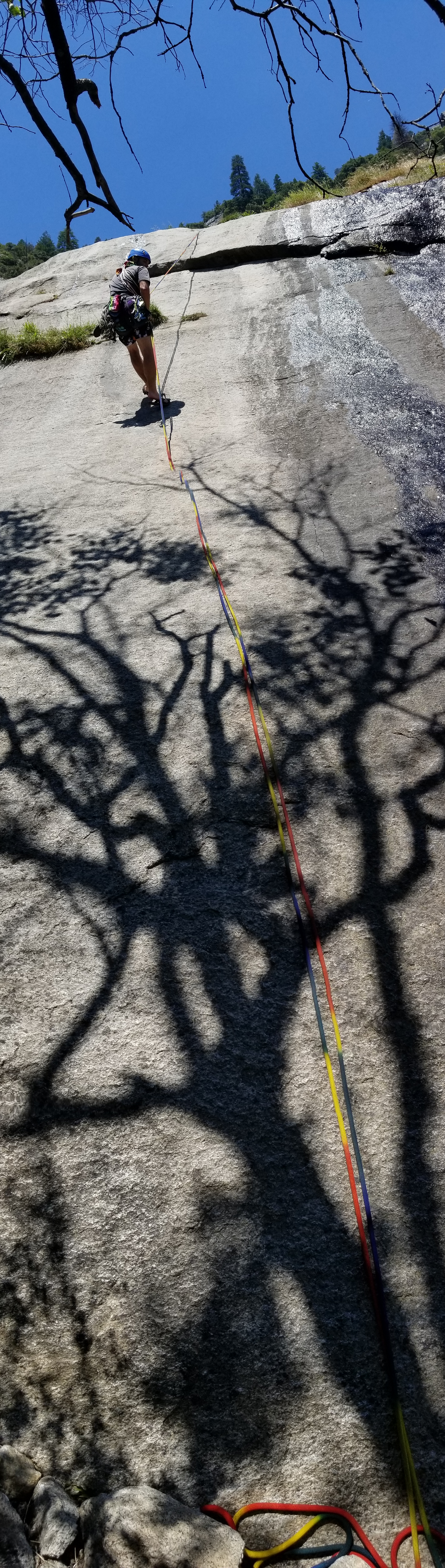
It was time to roll, I lead out trailing a second rope behind me to belay Jeff once I reached the top of P2. The handholds were great and movement over the rock was really fun! I reached the first crux and placed a solid piece below a first baby V notch roof and moved under it. A crack ran through the small roof, just perfect for a handjam. I reached up with my chalk-covered right hand and slid it into the crack. Man it was bomber! I wedged it in further, flexed my hand, pulled my feet up and pulled up and over the roof. I placed my next piece around a nice bomber tree and continued up the face, moving left before the next crux – a larger slippery roof.
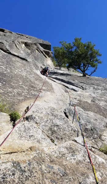
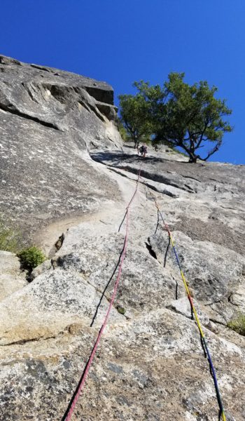
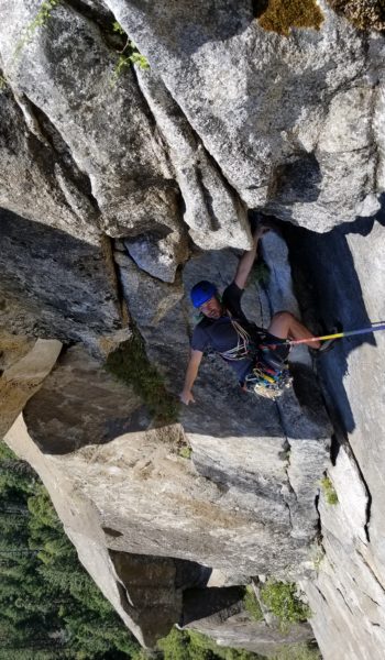
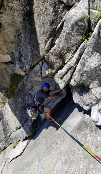 Chris on the crux roof on P2
I placed pro, moved my hands up, and finally found a nice chip out right to place my foot. I pulled my weight out right and stood on the foot to find some nice jugs. Past the roof was a nice wide ledge just below an old beat up piton that had been hammered in years ago. I threw in a cam, nut and slung the piton to create an anchor. Soon I had Jeff and Chris set up on top belay and they began to climb up the face. We were soon all smiles at the top of P2. I snapped pictures of Chris just below the roof making it look bit spicier than it was just for fun. I was thirsty form belaying in the sun drenched anchor, so as soon as Jeff reached the P2 topout I chugged water from my bag he was carrying for me. Wasting no time, I set lead out on P3.
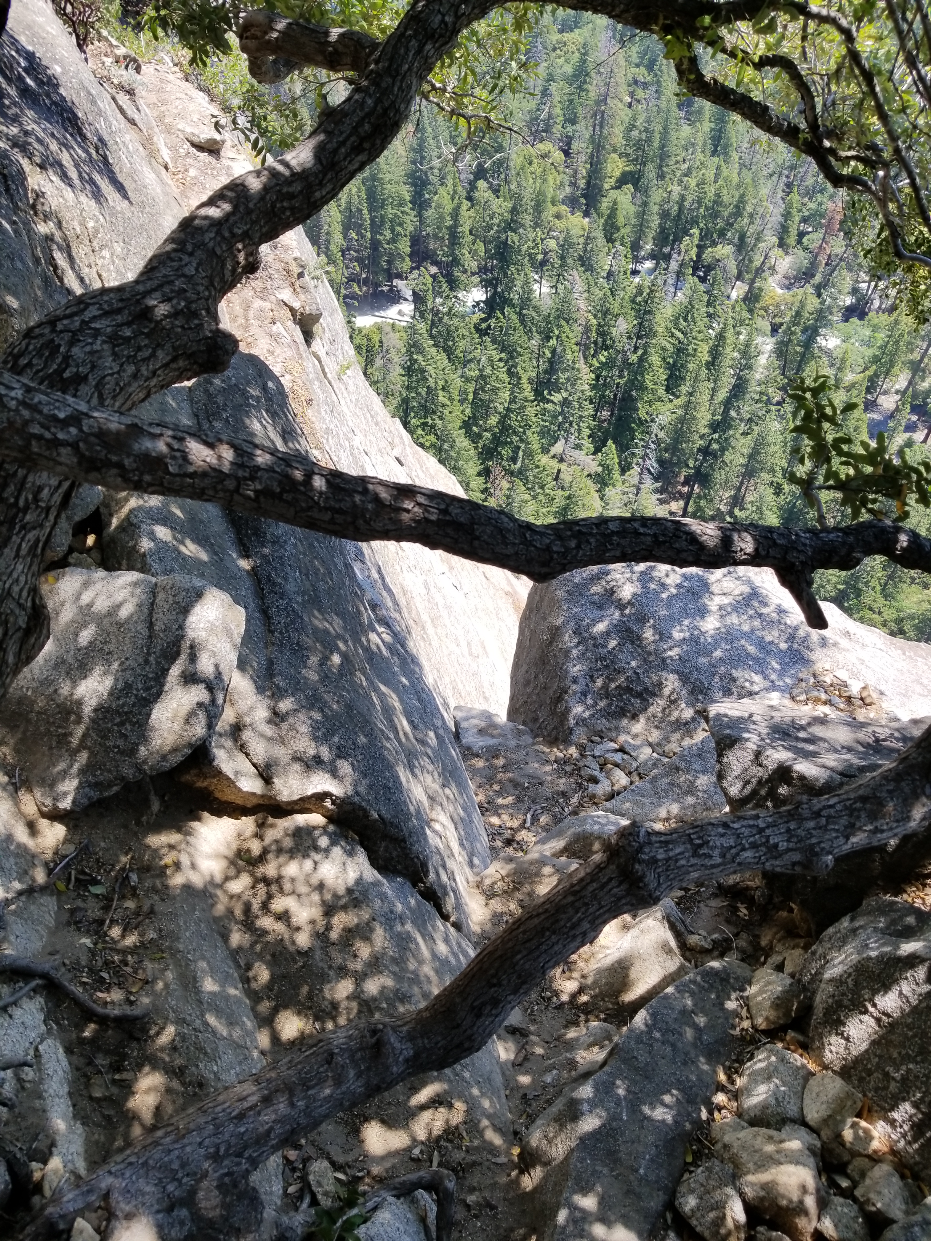
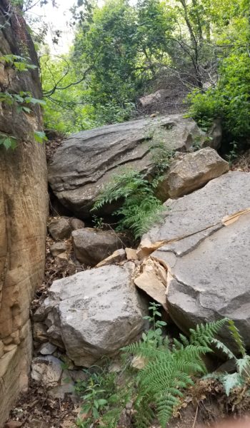
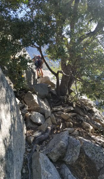
P3 was an interesting, short climb. I moved up the face and left into a protectable corner and placed a large #4 half way up the corner. This area got a bit funky and the body movement seemed a little awkward. Like anything, working one bit at a time, soon had me pulling the top pf P3 and setting up a belay. Jeff and Chris warned me that there was a bunch of loose stuff at the top of the climb and to be especially careful. The head-sized boulders teetering on the top of the pitch were a menacing bunch. I belayed from a solid tree and soon both Jeff and Chris were above the final corner, all smiles about the warm climb.
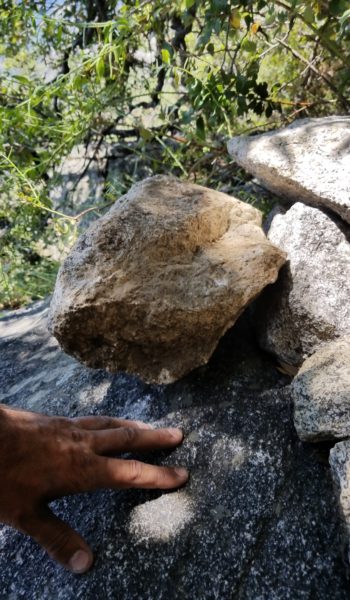 Nasty loose rocks at the top of P3
Man, what a good initiation to Yosemite! We soon cleaned up all our gear and took a nice walkoff/rap to get back to the start of P0 and retrieve all our gear that we left behind. I was so happy to be there, in the climbing Mecca of the US, where it all started. So excited for the climb we just finished and all the climbs to come this week, this was just the beginning! Thanks Chris and Jeff for my first taste of trad-multipitch in the valley!
HIKE/CLIMB INFORMATION:
- Munginella: https://www.mountainproject.com/v/105867008?search=1&type=route&method=resultsPage&query=munginella
CLIMB/HIKE STATS:
- Weather: Hi 80s, Low 60s, Sunny
- Water: 2 liters
- Food: 2 Cliff bar, 1 Nature Valley Granola bars, 1 bag of gummy worms, 1 bag of Salt and Vinegar Chips
- Time: 4 hours
- Distance: 2 miles RT
- Accumulated Gain: 300 feet
- Climbing Rating: 5.6 Trad
- Number of Pitches: 3
GEAR:
- Don Camelback backpack (3 liter bladder)
- Black Diamond Helmet
- Petzl Corax Climbing Harness
- 2 Black Diamond screw carabiner
- 4 Phantom DMM screw carabiner
- 6mm Accessory Chord – Anchor
- Black Diamond Camelot X4+C4 Cams – Double Rack – (2x), 0.1, 0.2, 0.4, 0.5, 0.75, 1, 2, 3, 4
- Black Diamond Standard Nut Set
- 12 Alpha Trad DMM quickdraws – Alpine draws
- Black Diaimond ATC Guide
- 2 x 60 meter 9.8mm Rope (Rainbow + Red)
- Webbing/7mmCord for personal anchor
- Arc’teryx Chalk Bag
- SPOT Tracker
CLOTHING:
- Cotton T Shirt
- Arc’teryx Hoody
- Cotton Handkerchief
- Nike shorts
- Darn Tough Medium Wool Sox
- Merrell Mid Moab Hiking Boots
- La Sortiva TC Pro Climbing Shoes