
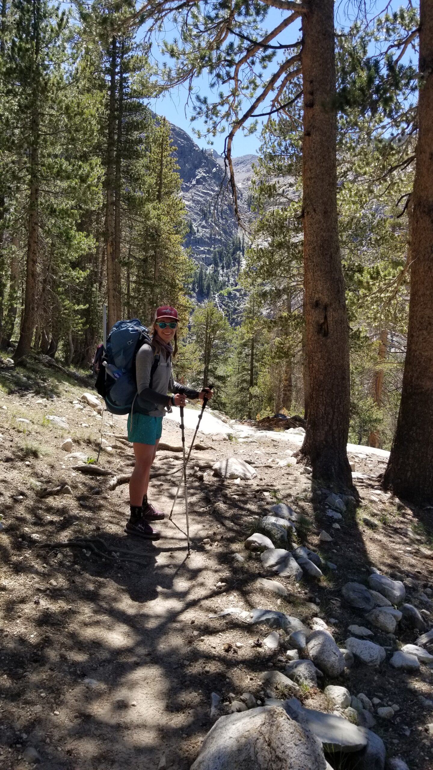
Golden light had just started to show on the tips of the peaks as we exited the tent. It was a cool morning, yet felt warmer than the last few. The wind and cold over the last few days must have been holding off the mosquitos we had been warned about. We hoped they would hold off for a few more days until we reached Tuolumne. But for the task at hand, Muir Pass awaited. We strapped on our shoes and packs and marched up trail.
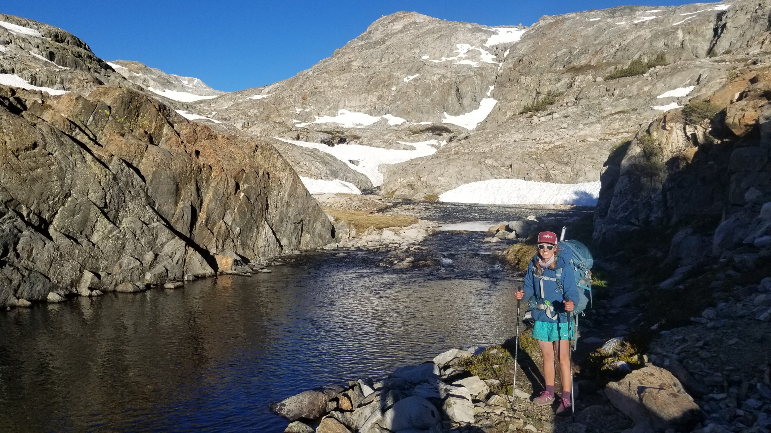
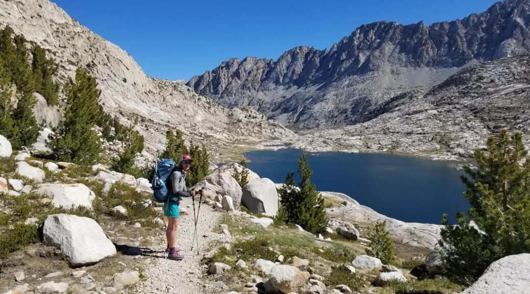
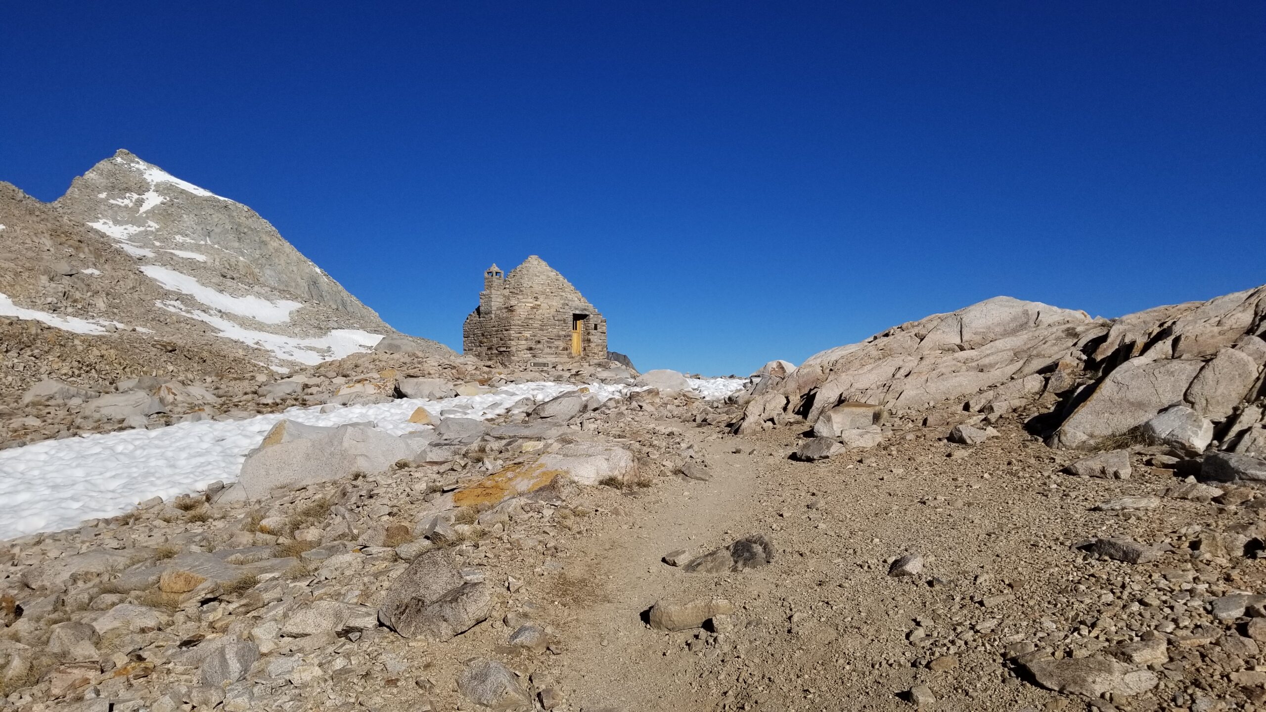
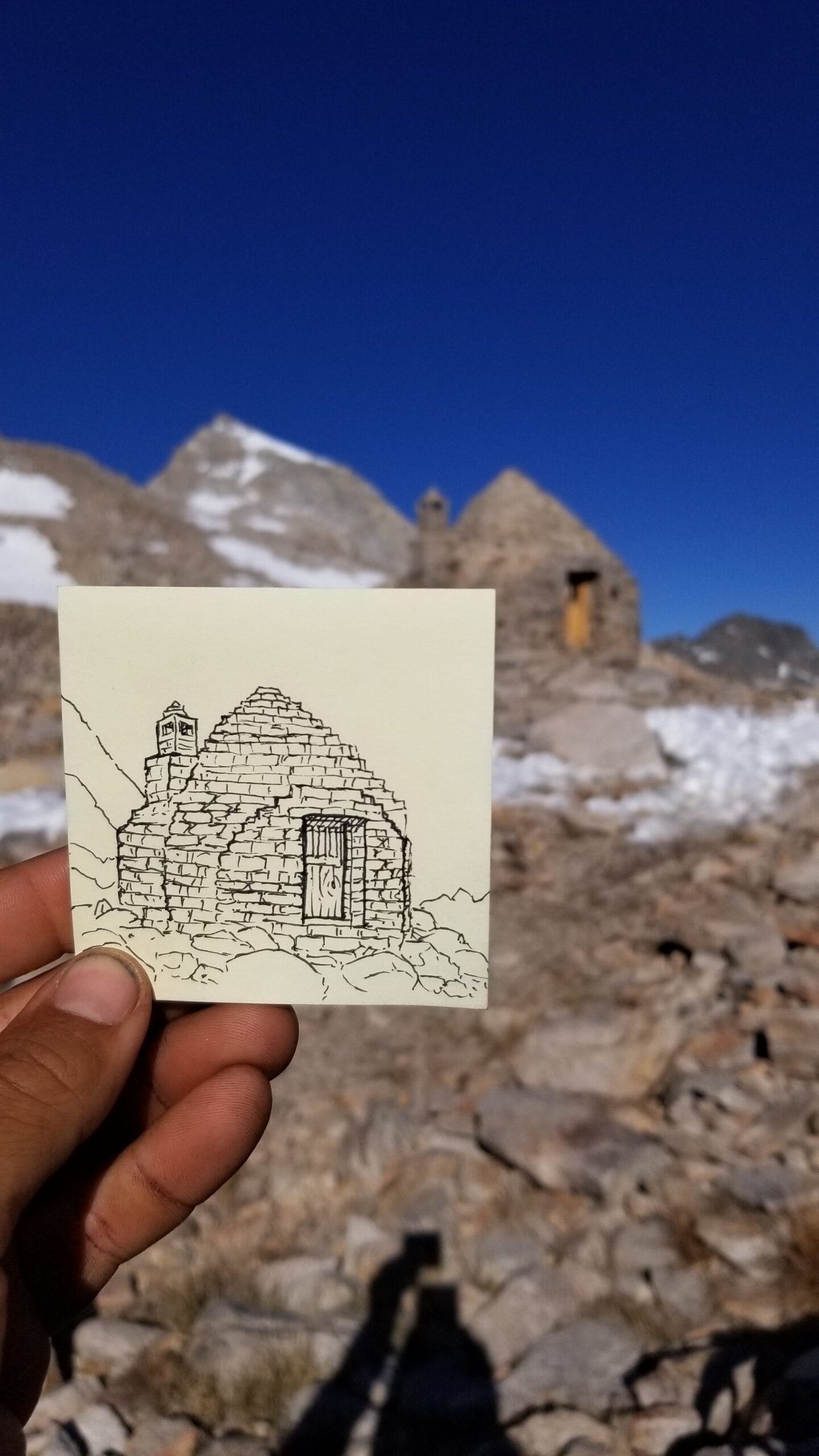
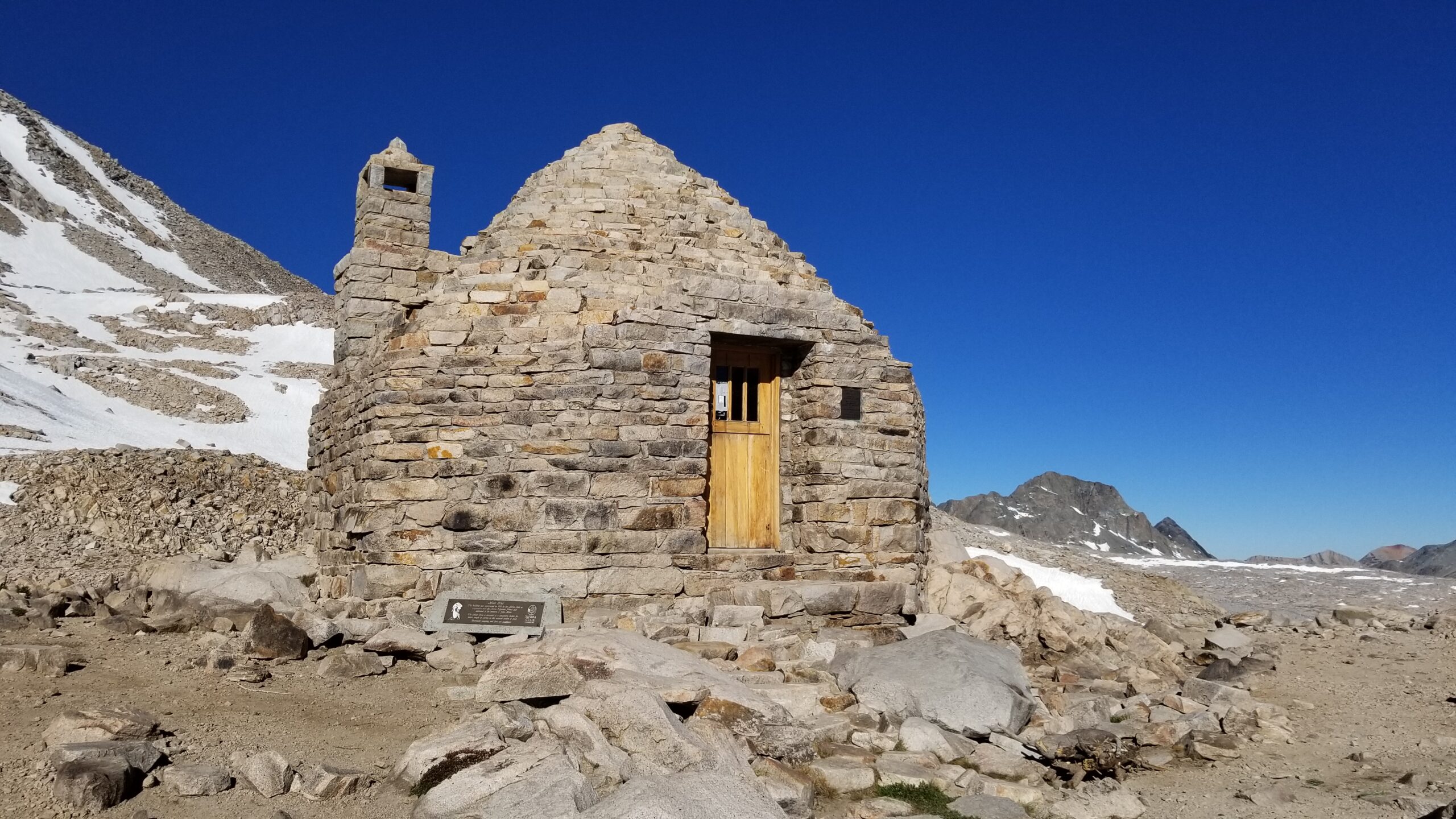
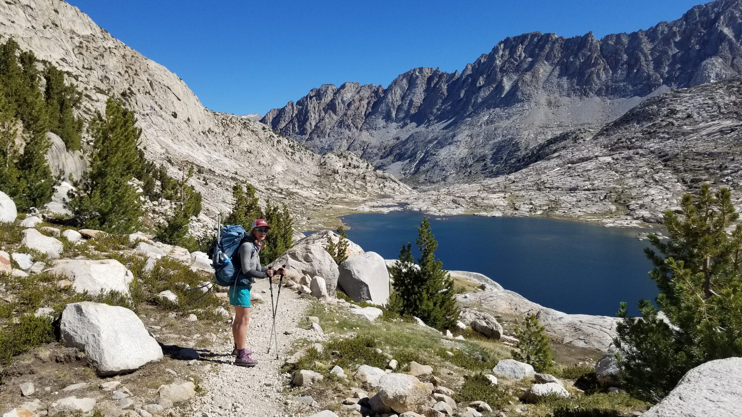
The nameless alpine lake we slept near fell silent except for the cascading creeks that fed it from the northwest. We hiked up out of the basin leaving the last trees behind and found another alpine lake, this one a perfect mirror showing the snowy granite peaks behind. Each lake had a stream that fed it from the top and a stream that drained it from the bottom. It was a long chain of lakes, like pearls on a necklace, from the top of the pass down to the alpine plateau and eventually the Kings River and then on, hopefully, to the ocean. Sometimes traversing a wide snow patch, sometimes avoiding them by going round. Finally we crested a switchback and the tip of Muir Hut came into view. It was a welcome sight and we both were surprised by how quickly we had reached it. I sat and sketched the hut as Izzie inspected its insides. The fireplace had been bricked in, yet it still had an interesting smell that was hard to describe, it wasn’t dingy or moldy or old, it just smelled like stone and wood. A little small square window looked north and I could imagine what it would be like to watch a blizzard blow from the safety of the shelter.
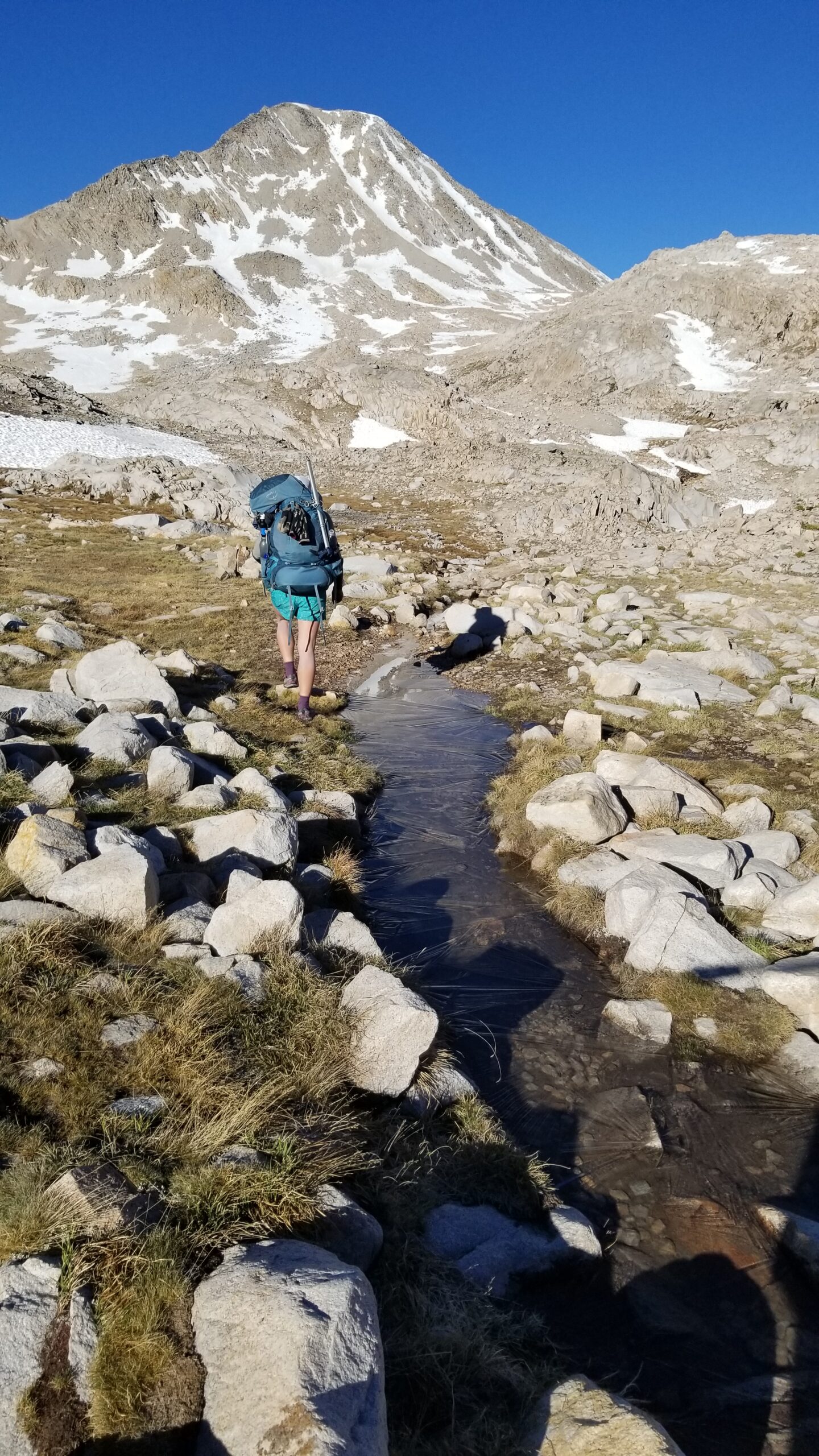
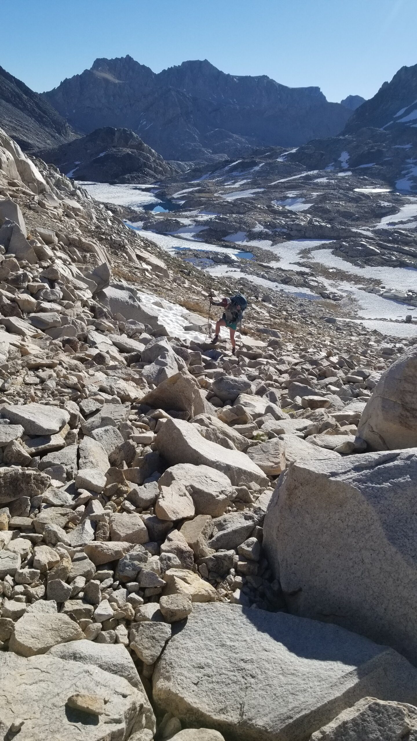
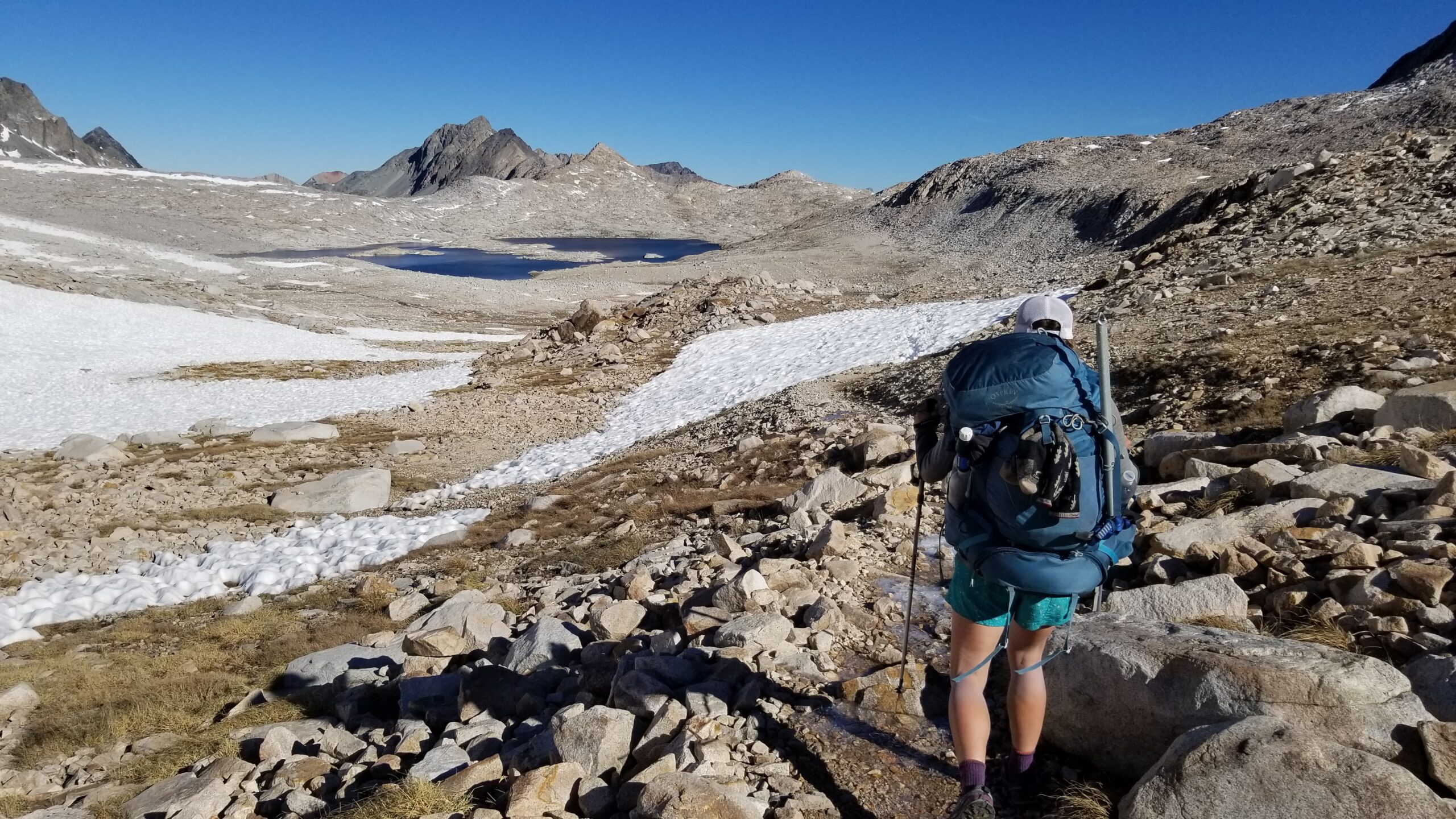
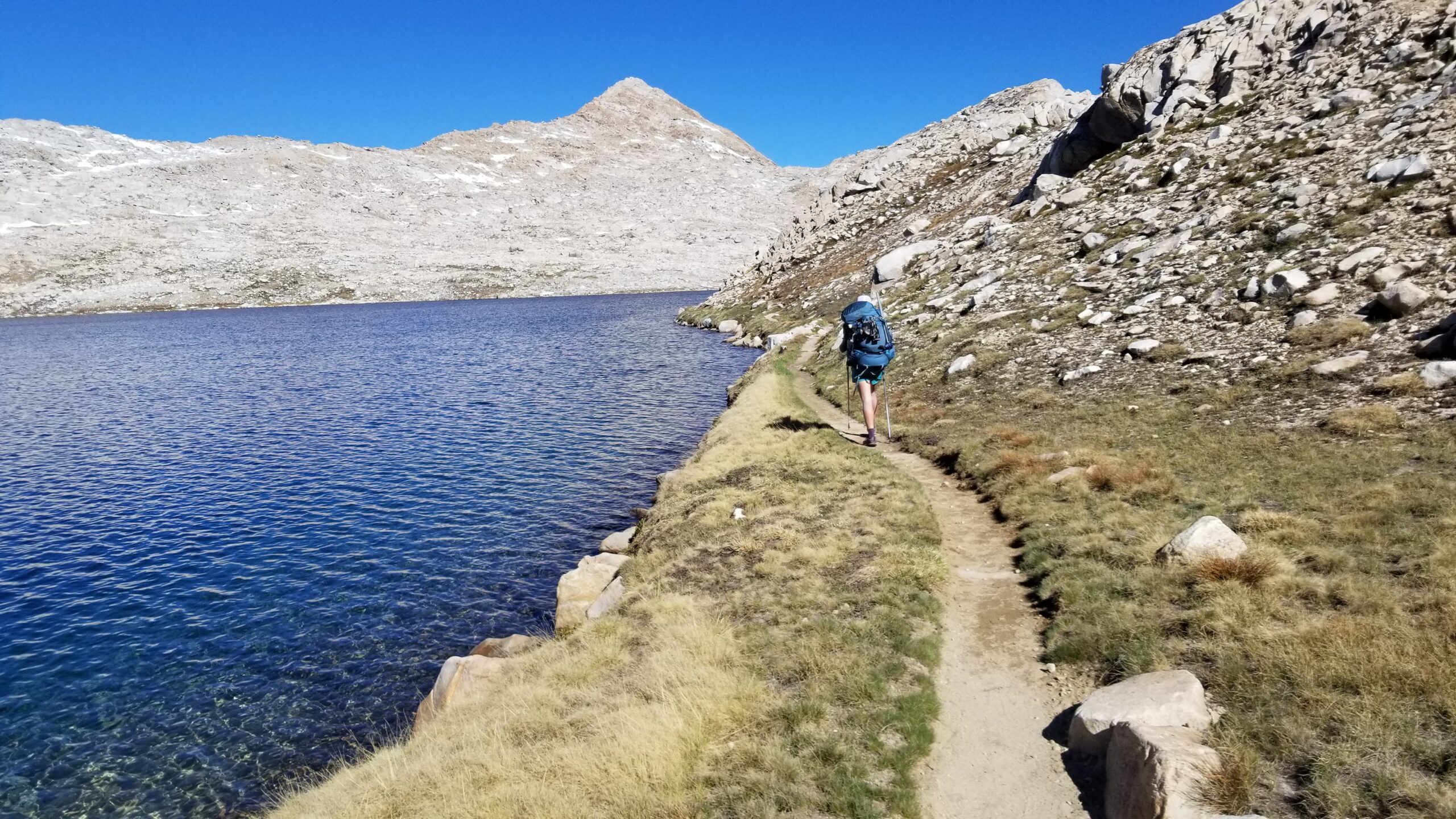
We picked up our packs once again and headed off, north, down the pass. As we passed the alpine lakes I thought how funny we must seem, like turtles slowly crossing a landscape with everything we needed on our backs. The lakes were beautiful and clear, you could see right down to the bottom. The trail skirted just along the edge of the lowest lake on the alpine plateau and we took a moment to glance back up at the cascading blue turquoise lakes.
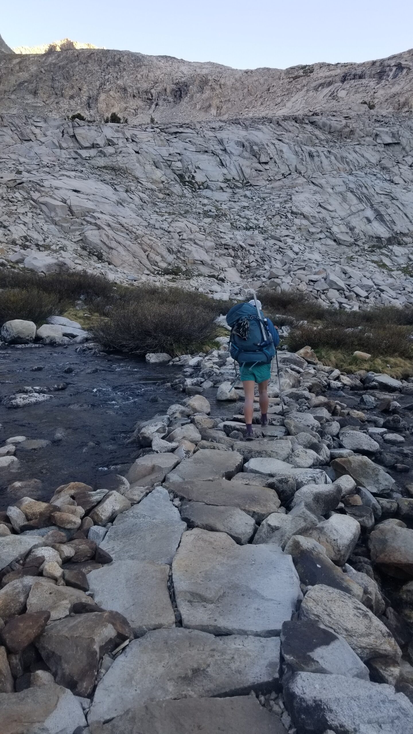
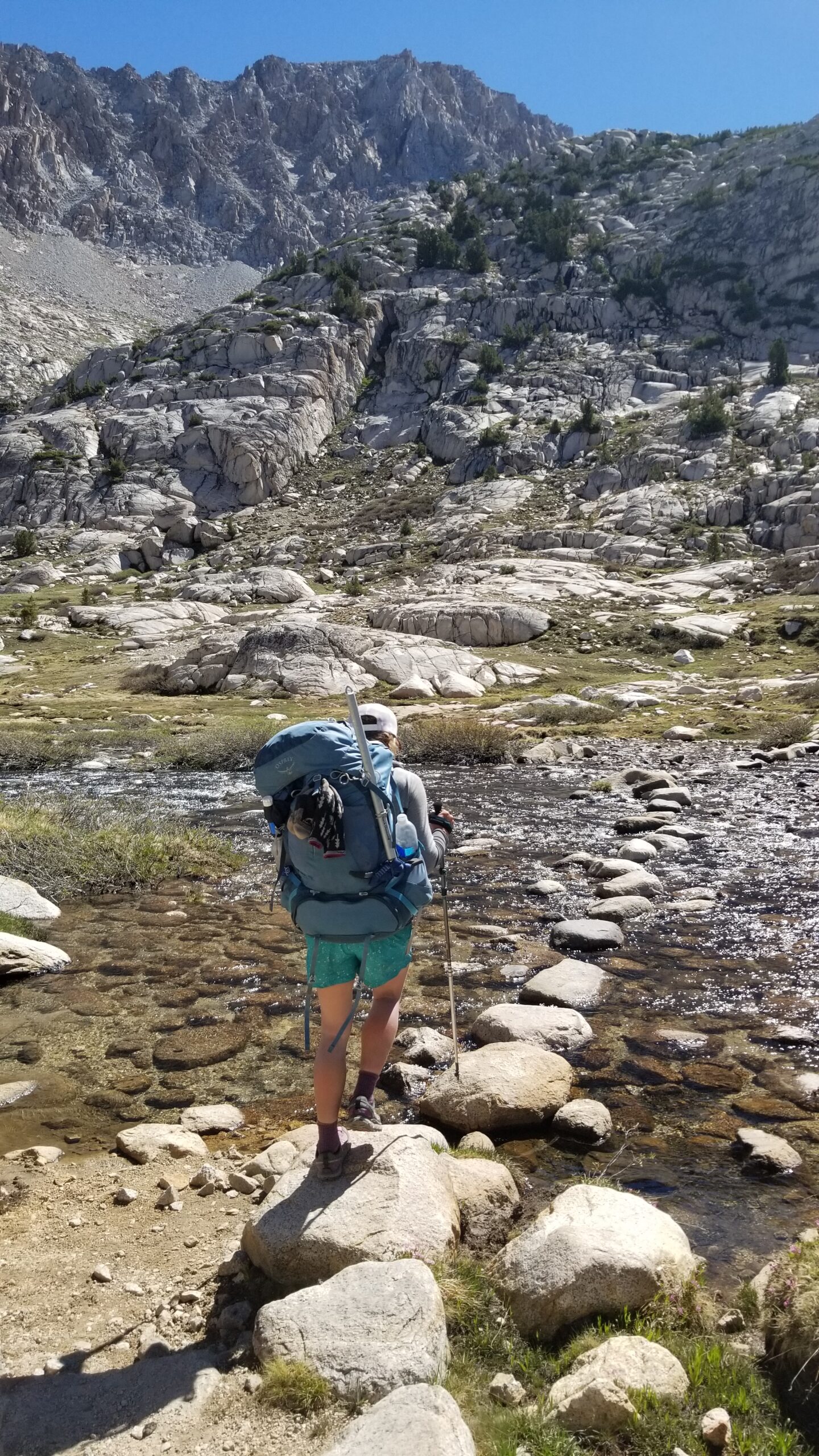
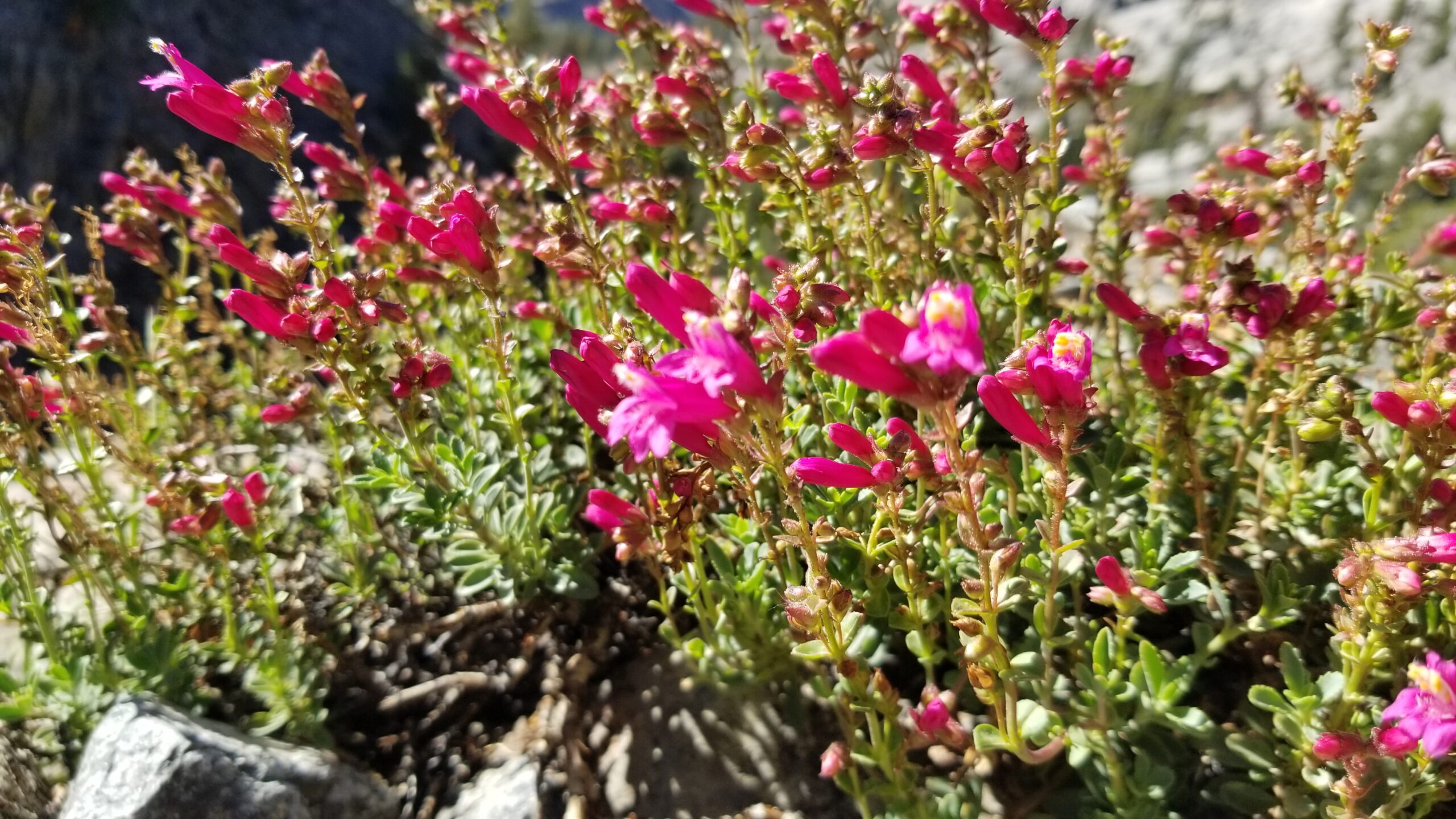
We continued to descend into the canyon below. Little yellow flowers started popping up trailside, the tundra grew green and finally, to our disappointment a few rude mosquitos came up and sunk their proboscis into each of us without even as much as an introduction! We knew it was time to move, and continued down Evolution Valley.
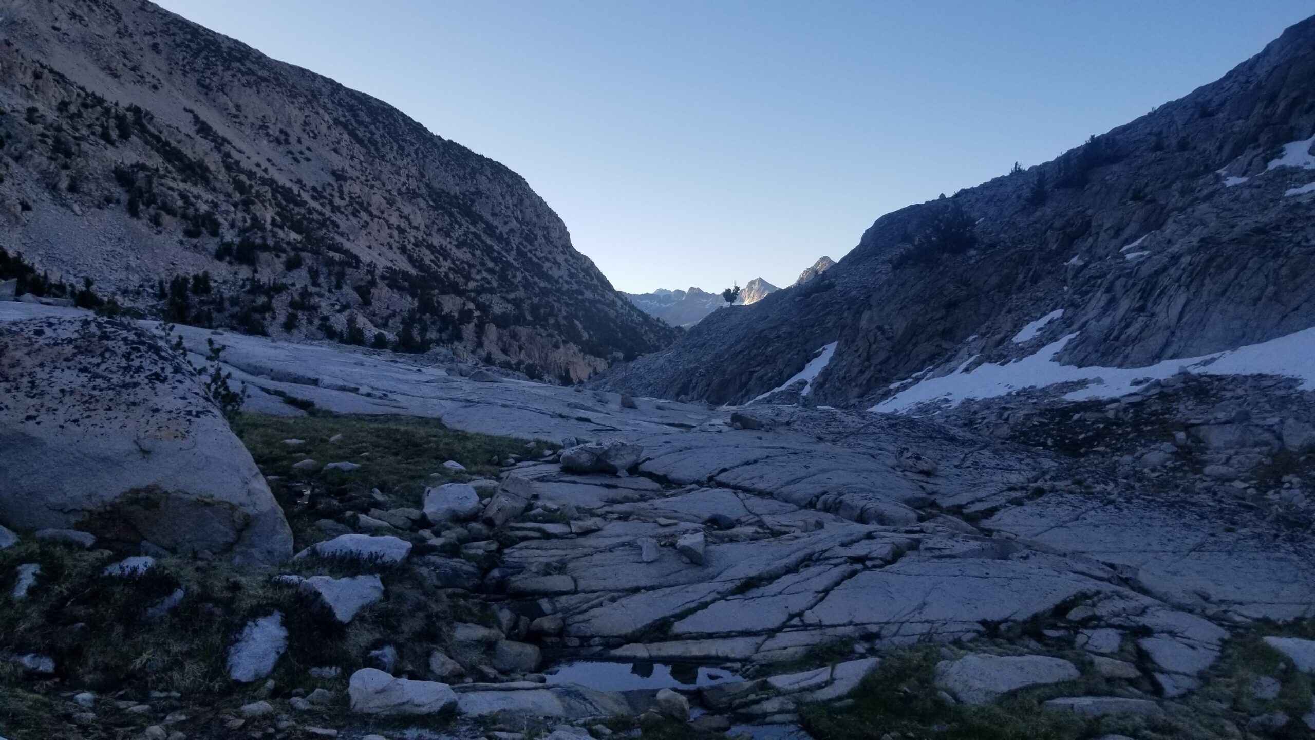
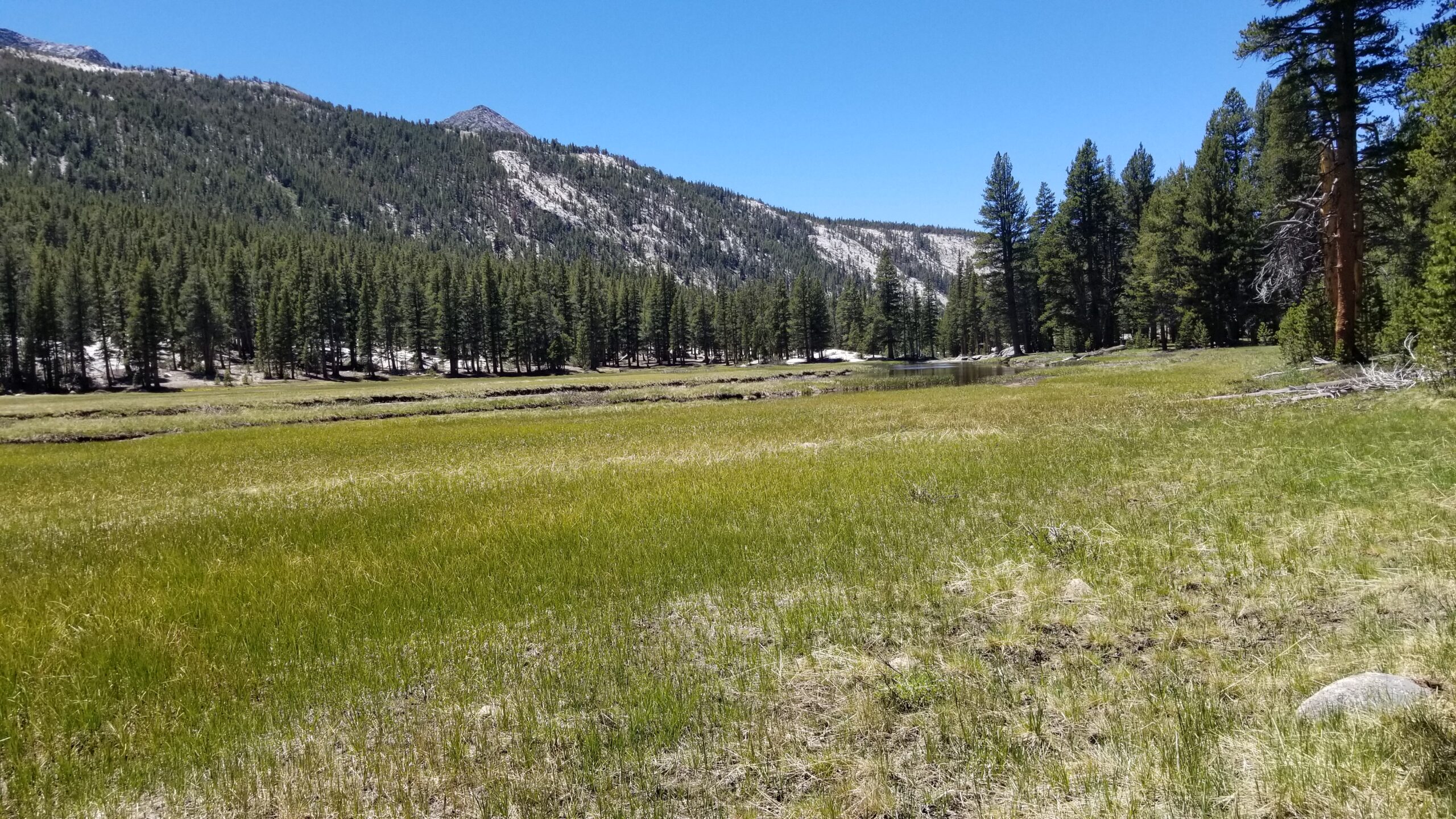
The last lake came into view, willow became more predominant, tundra flourished in flower, and eventually pines started to show. Little creeklets would come down off the canyon walls, strike across the landscape and somehow find their way into the lakes, like finding their way home.
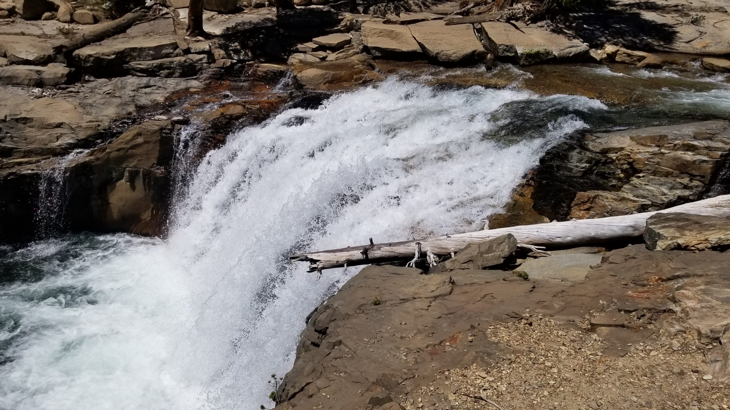
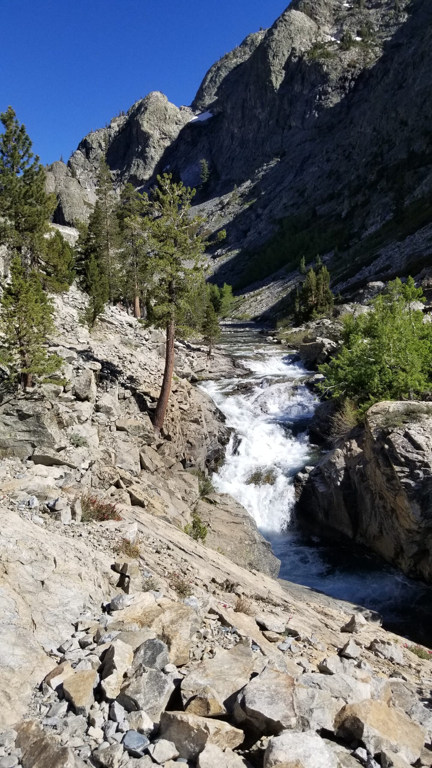
 We finally entered a forest of pines, and not a minute too soon as the sun seemed to crank up the heat. We could hear the rumble of a waterfall off in the distance, cicadas buzzing in the trees as we bombed down the switchbacks. We happened upon the beautiful waterfall just a stone’s throw from the trail and stopped for lunch. A swim was almost mandatory at this point being day 7 with no shower, but it didn’t seem much of a chore as it cooled our hot feet and knocked off the dirt from our dusty bodies.
Back into the cover of trees, nice little respite from the baking sun!
Large granite boulders took over the descent and grassy glades appeared along the flat portions of the crystal clear Evolution Creek. We passed McClure cabin, a tall pine building with not much character, but looked functional for the most part. We dropped further still through gates of granite, canopies of conifers, and crossing crystal clear creeklets. It was a pretty surreal afternoon.
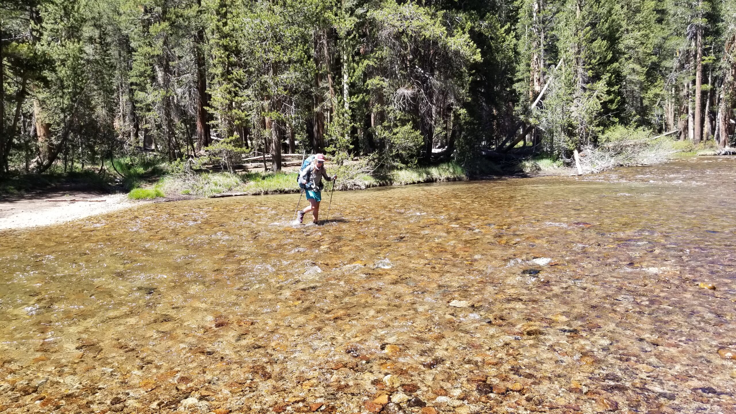
Evolution Creek poured into the San Joaquin and the trail bounded after the river as it raced down canyon. Aspen and Junipers studded the landscape and every once in a while we would see a small cottonwood clinging to the sunny side of the river. The river would turn from perfectly clear and quiet to a white torrent of rage as it jumped down a 10-15 foot cascading fall. We stood trailside at one of these waterfalls and imagined the line a kayaker might take to safely descend. For a moment I imagined myself in a small hard-shell boat taking the rapid turns and somehow clearing a huge drop. I came back to reality and we continued hiking down the canyon.
The river jumped down drops, slid through narrow channels, and went back to being as smooth as glass in just a few miles. We finally chose our camp, just before the river left the trail and we set up our tent beneath the pines. It was a beautiful camp to cap off a beautiful day.
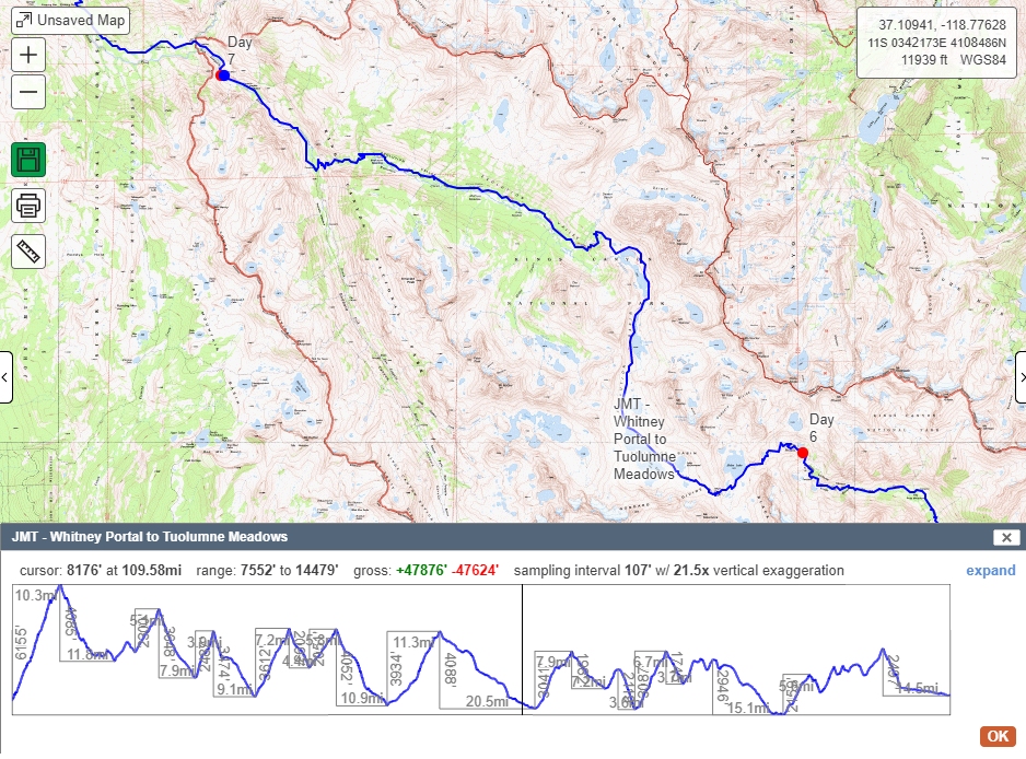
- Hike Stats – Total Miles: 21
- JMT Miles: 21 (Mile 89 – 110)