- Day 1: East Lostine Valley
- Day 2: Razz Lake and Razzberry Mountain
- Day 3: Eagle Cap and the totality Eclipse
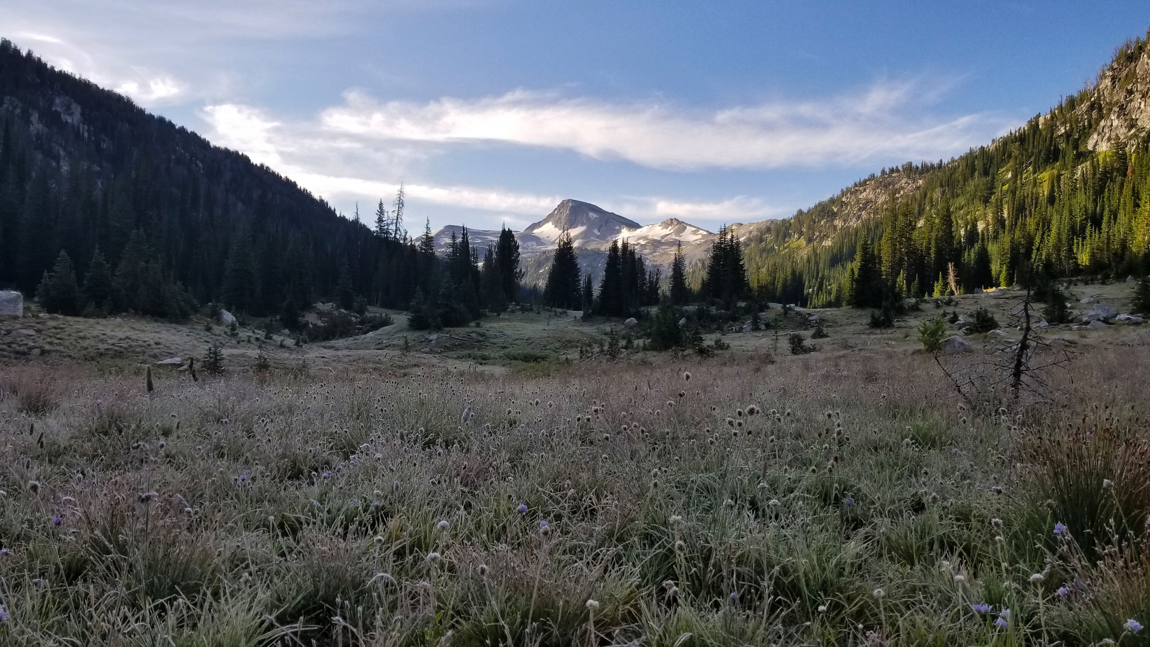
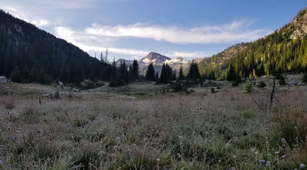
The sun shone on the side of the tent warming it and waking us. I unzipped the tent and found, to my surprise, a thick layer of frost on the tent fly and everything else for that matter. It was most certainly cold the night before, but I never thought there would be ice! We got moving, starting the morning ritual of coffee, breakfast, and packing up camp. Soon we were back on our feet, feeling so much more refreshed from the night before.
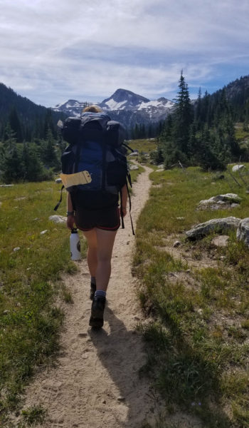
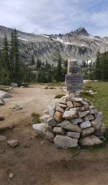
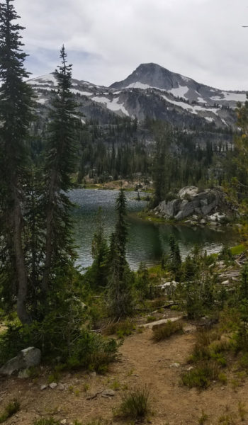
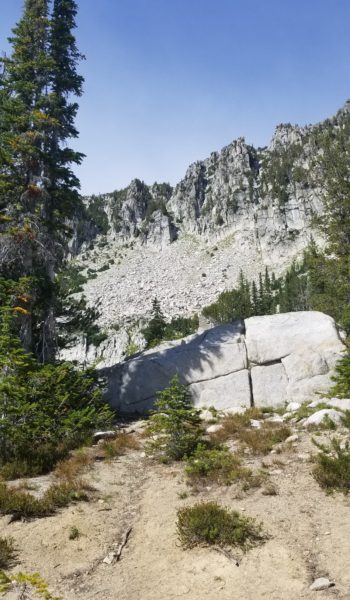
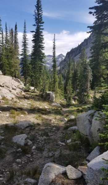
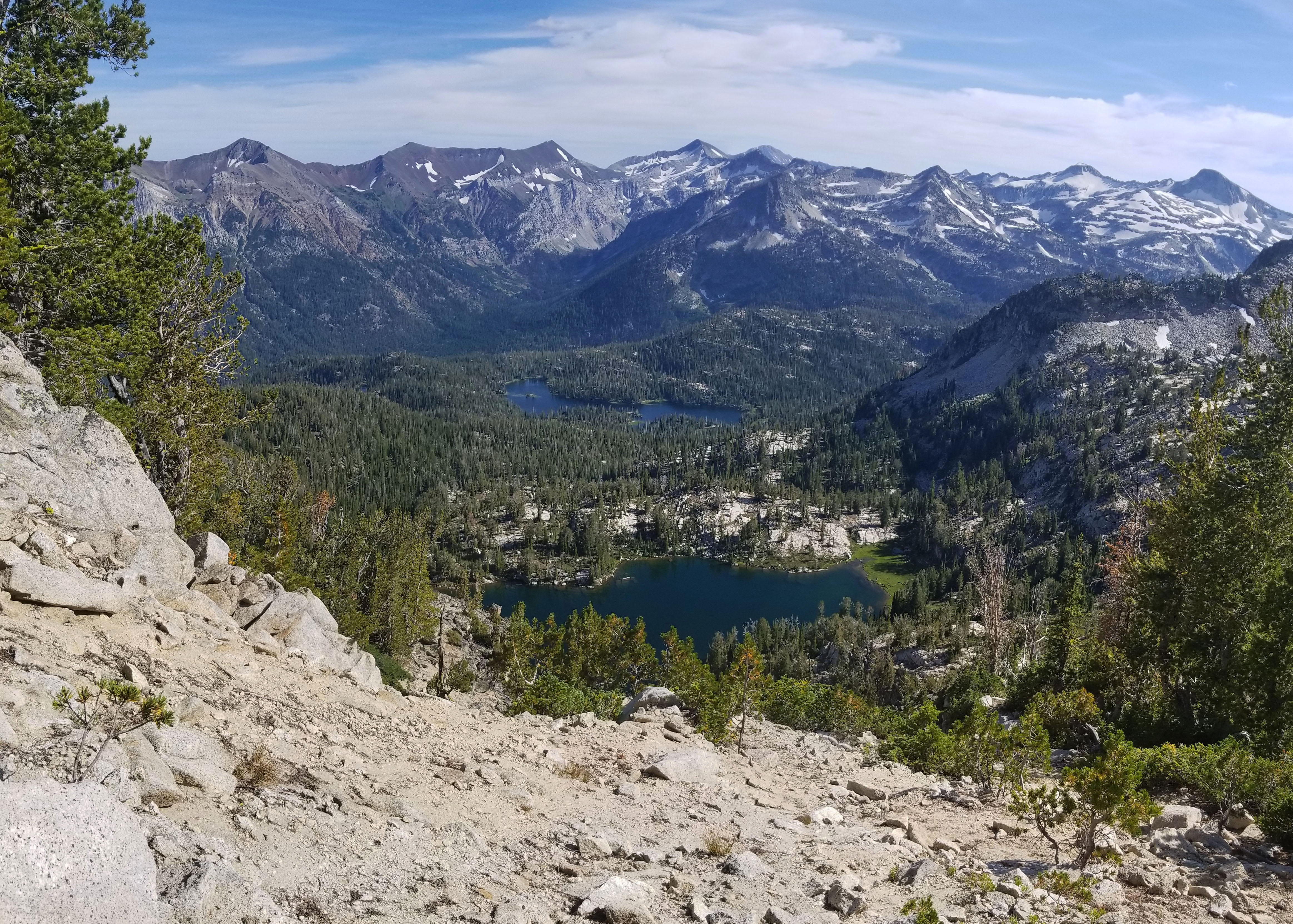
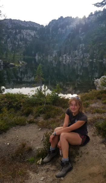
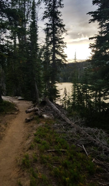
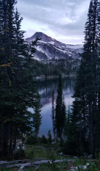
Everything was so green and Eagle Cap (9572ft), our target for the next day, stared us right in the face and was perfectly framed by the two ridges that made East Lostline River Valley. We were soon back on the trail headed further into the valley, searching for our next camp. After running into a few other backpackers and hikers we made our way from trail 1662 towards Mirror Lake. What a view, everything was just so gorgeous. It was a bluebird day, the mountains were high, the weather was perfect, and the alpine lakes were calm and serene. After pausing at Mirror Lake to take in the views, we headed east to the far end of the lake were we found a sweet spot to set up camp for the night.
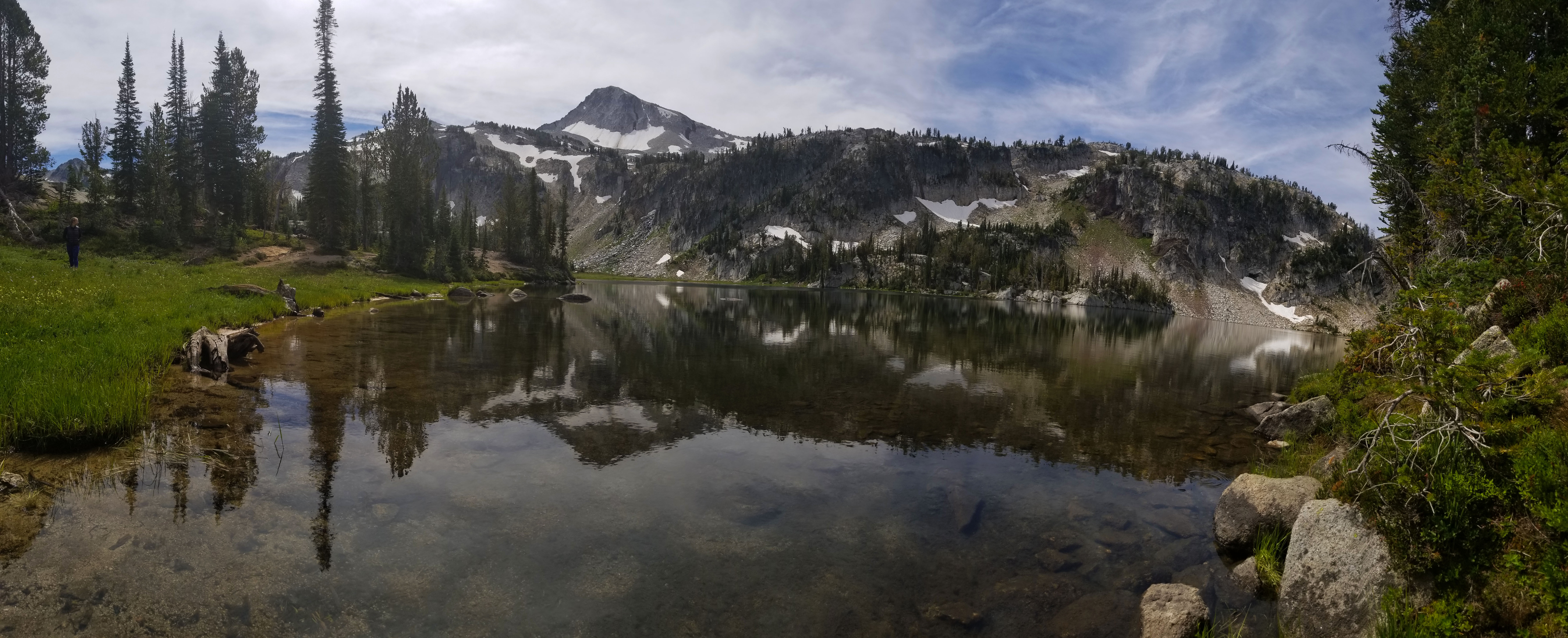
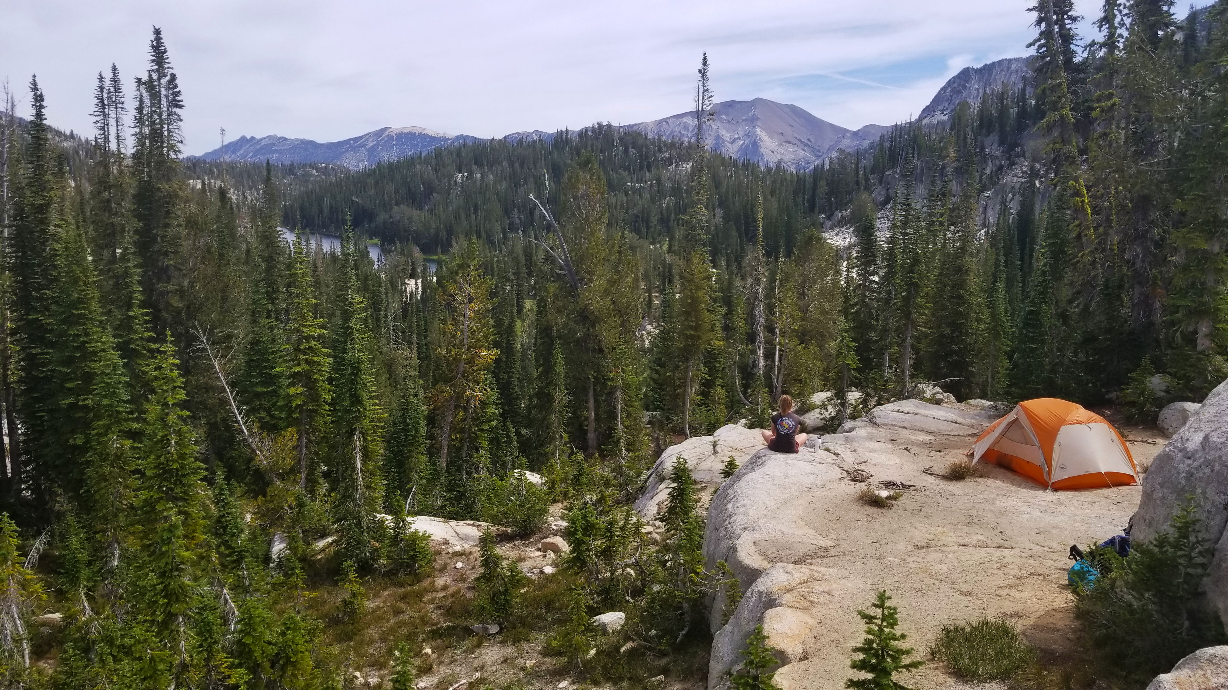
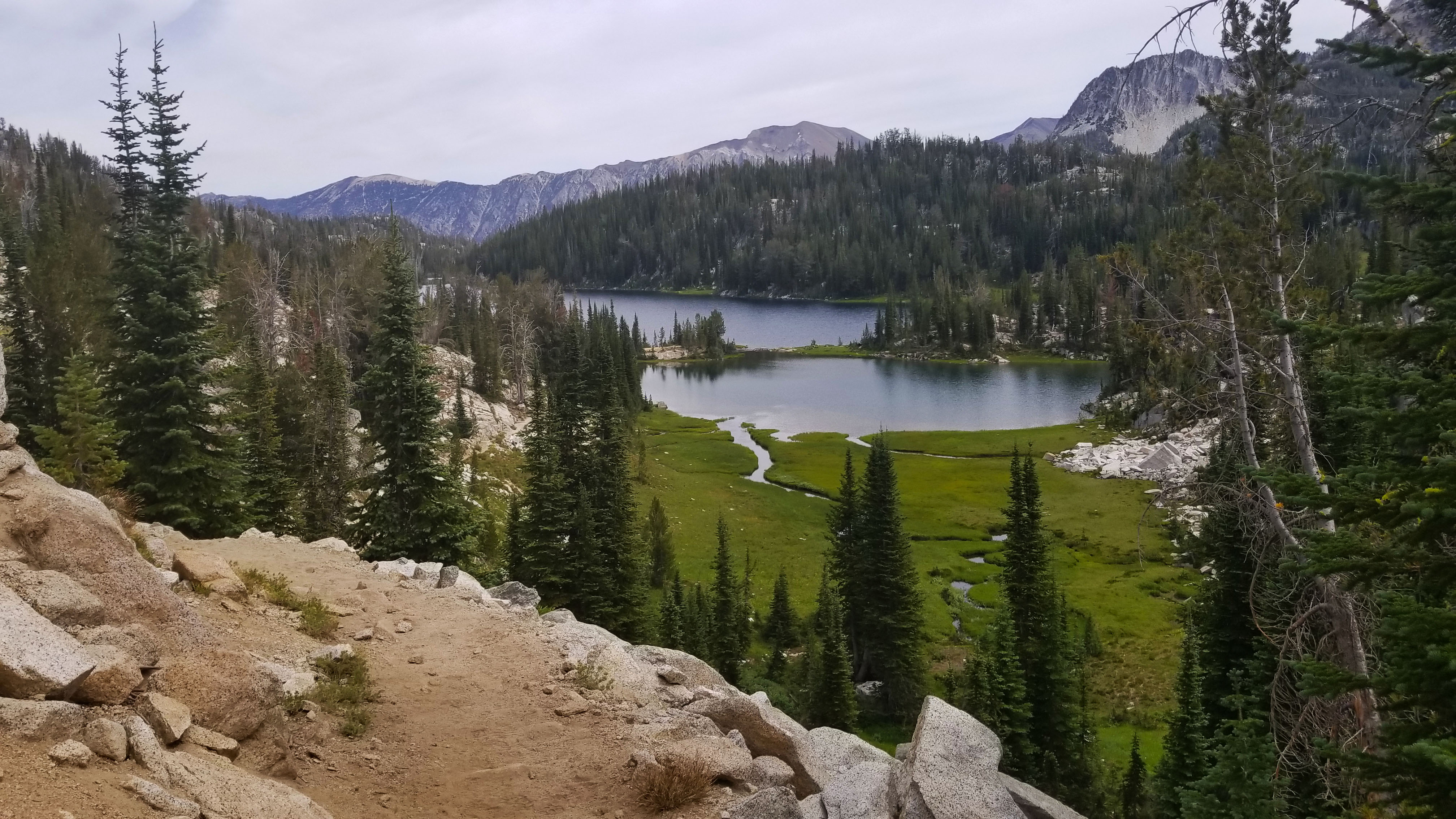
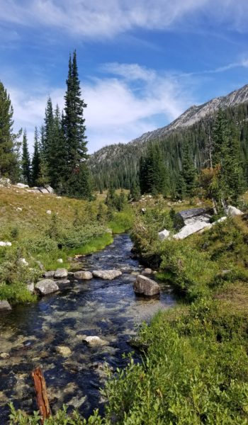
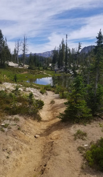
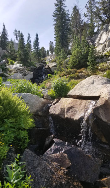
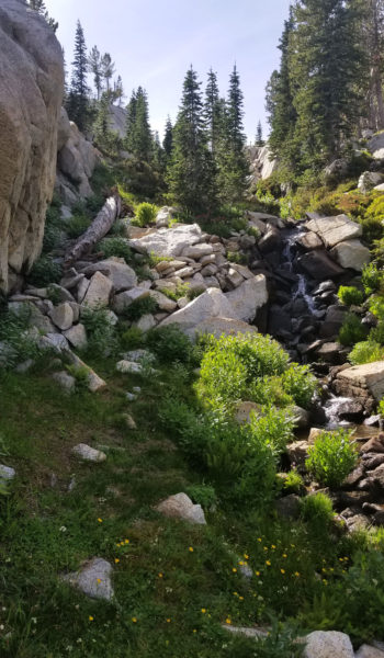
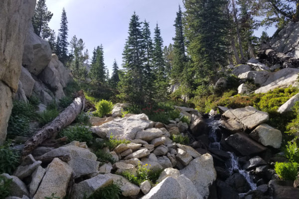
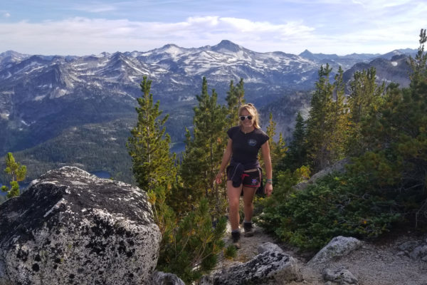
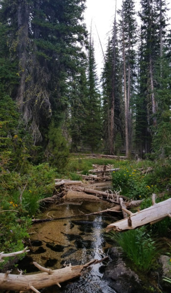
Once we had camp all set up, I grabbed my day pack, loaded it with water and snacks, then we headed out in search of Razz Lake, and hopefully Razzberry Mountain (9314 ft) for a good view of Matterhorn and the mountains beyond. The area was like a backpackers dream, it seemed like once you paid the price of the 7ish mile approach hike you could camp just about anywhere and have an incredible glacier lake view with mountains all around! The breathtaking views didn’t stop as we made our way towards the approach to Razz Lake and eventually Razzberry Mountain! We passed Moccasin Lake just below our camp and trekked on passing Douglas Lake, Lee Lake, and just to the north of Horseshoe where the creek runoff from Razz thundered across the trail.
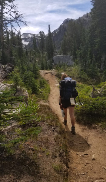
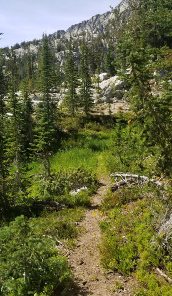
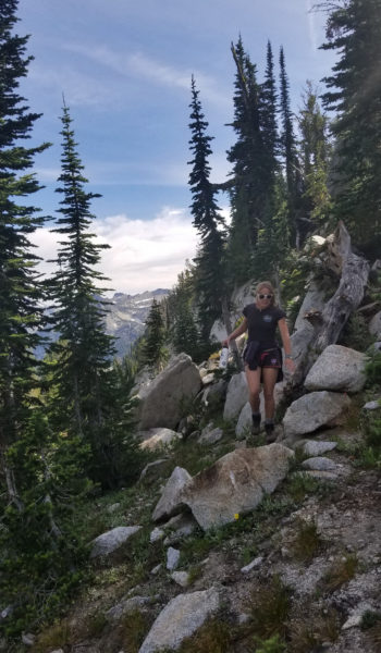
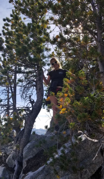
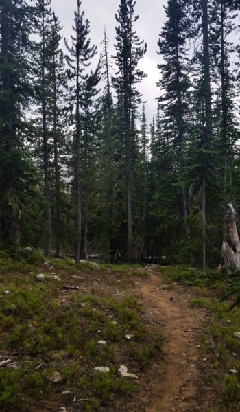
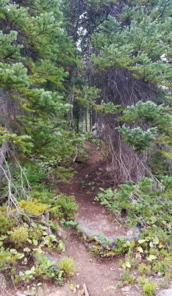
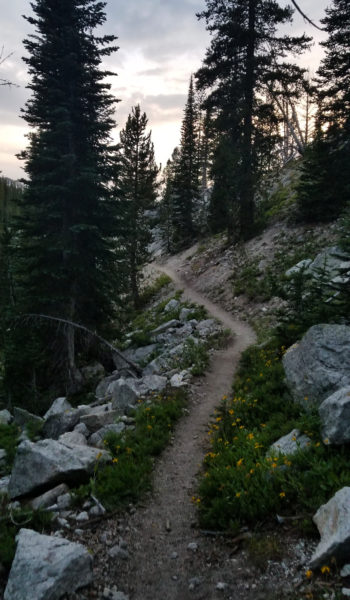
It was time to leave the well-trodden trail and blaze our way up. Izzie was game, with the promise of a lake to swim in just below the peak, she was just as motivated as I to get up the runoff through the steep trail-less woods. We pressed on, tromping through thick underbrush, downed trees and a few creek crossing before, out of nowhere, a trail appeared! “What was this?!” I thought as we trekked on along the faint trail. It seemed to be going the right way and before long we realized it was a small hikers’ trail heading through the beautiful woods and flower covered meadows headed up, towards the lake. Man what luck!
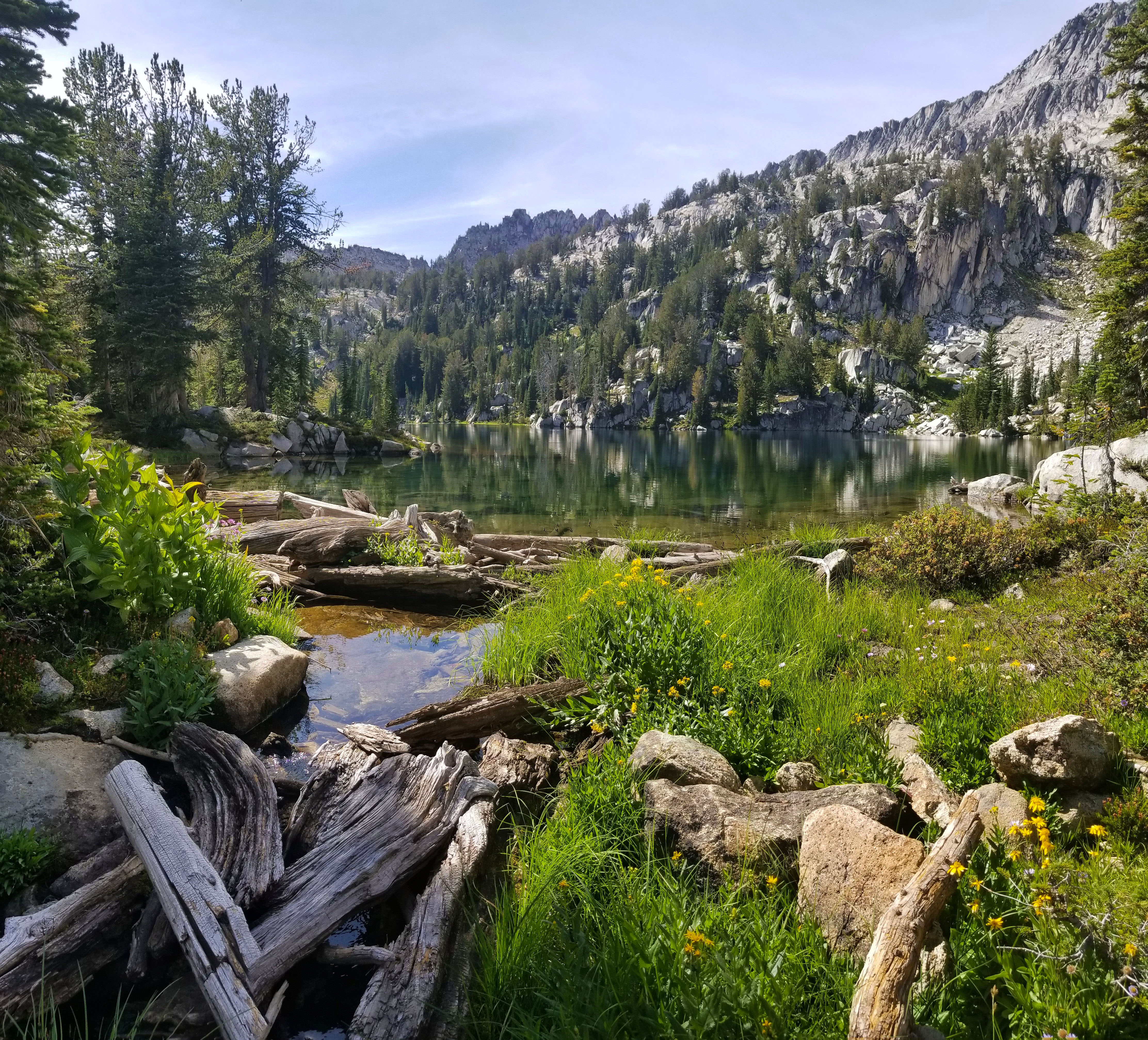

We trekked on up, and up, until finally we popped out at the end of a large crystal calm lake. We had the place to ourselves, not a person in sight, and we decided to get in Razz Lake for a quick swim! Wheewwwww talk about cold! We were both shivering, but it was still a nice refreshing 40ish degrees! After a few minutes of trying to ignore how cold the water was, we both decided to get out and warm up on the lakeside rocks. What a beautiful day, I looked up towards the peak and the gnarly ridgeline we would need to cross in order to summit. I was curious what it would be like, and we chatted about the approach as we snacked drying in the sun. What a beautiful day, so perfect!
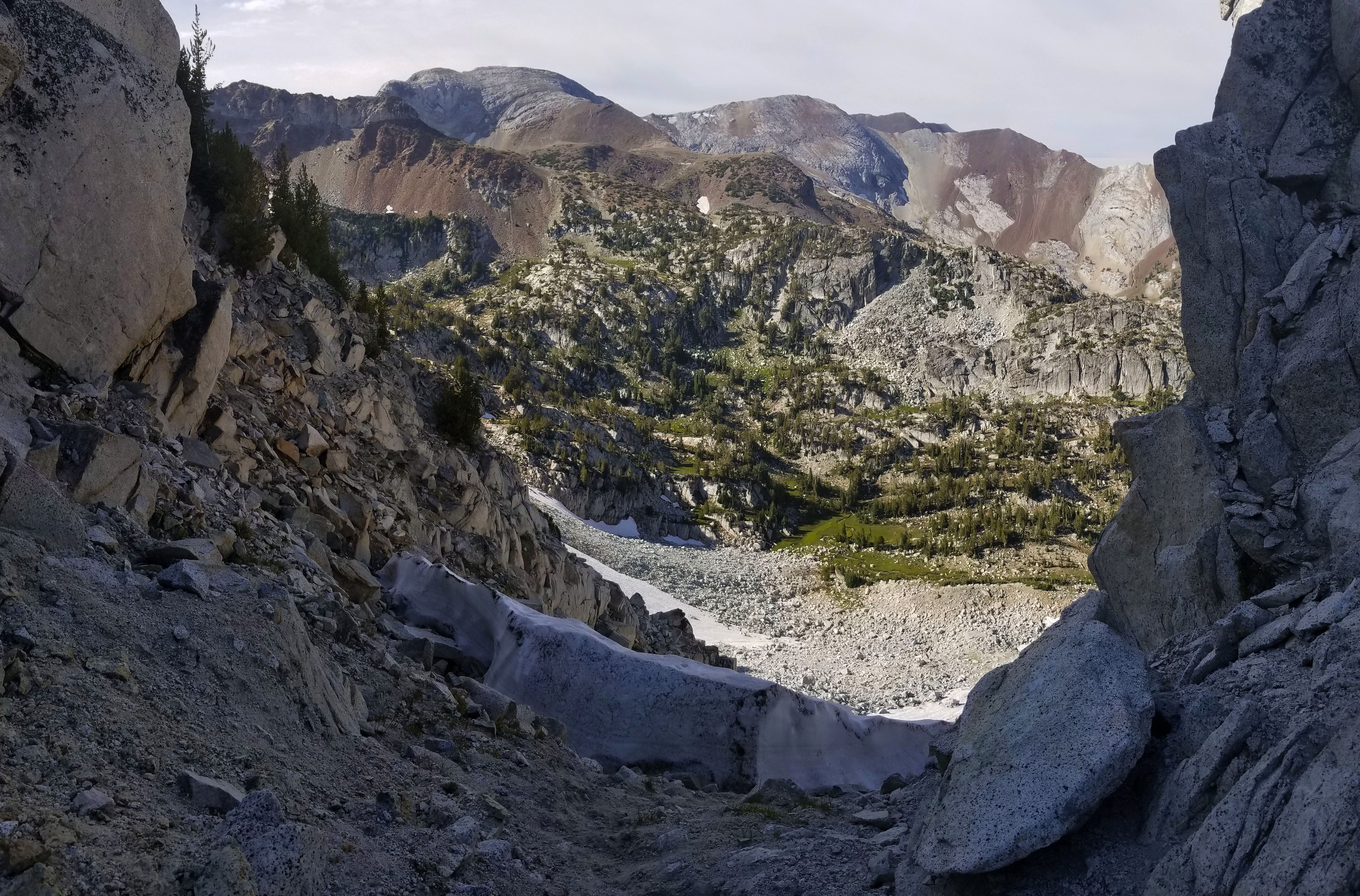
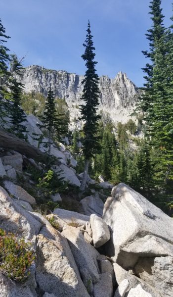
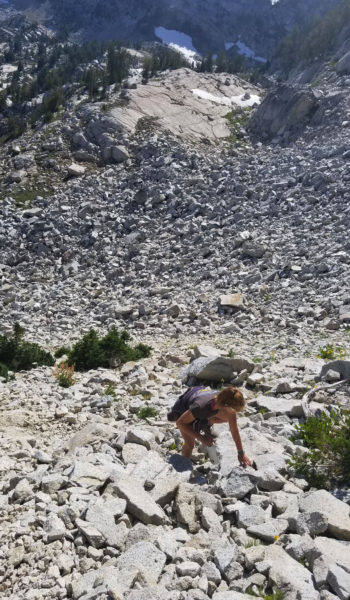
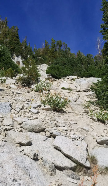
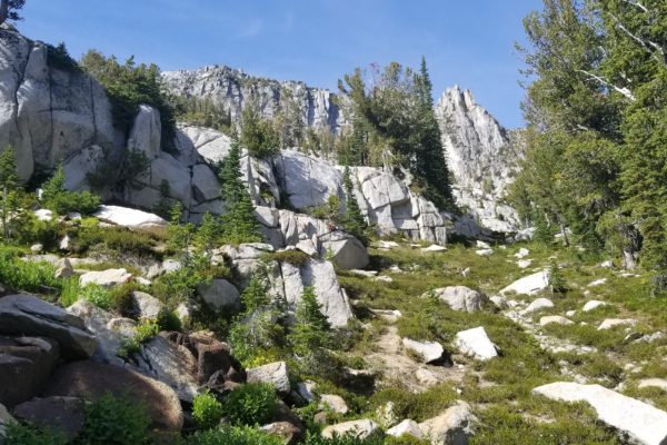
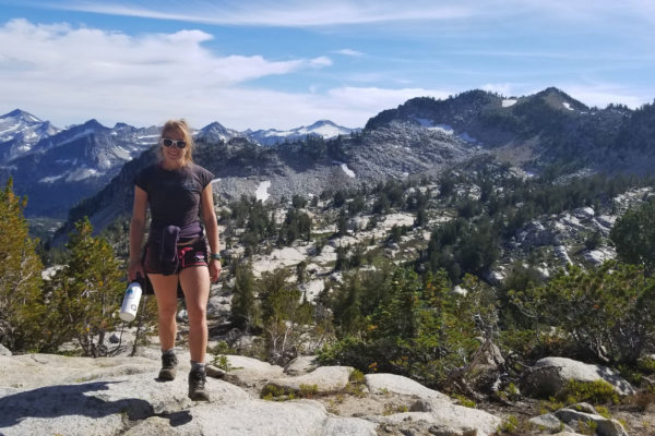
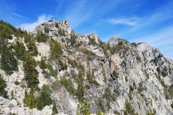
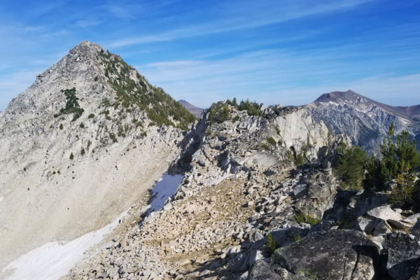
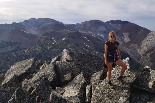
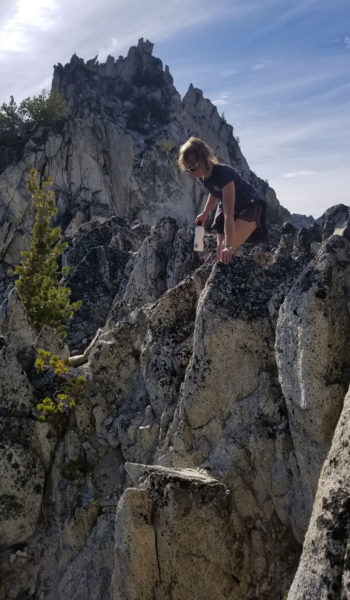
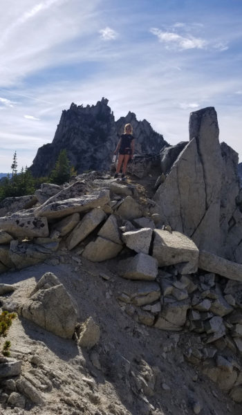
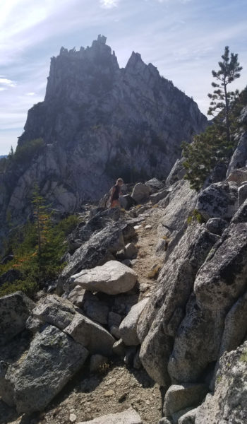
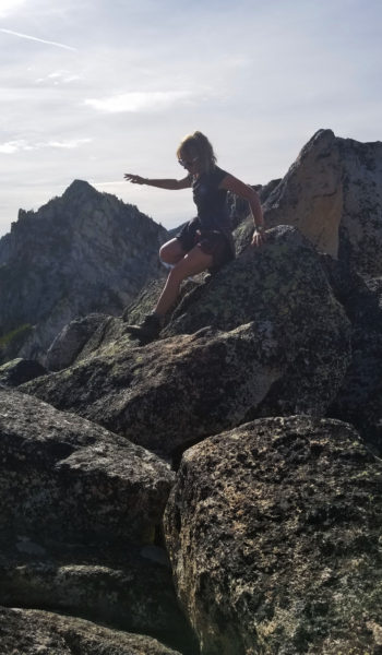
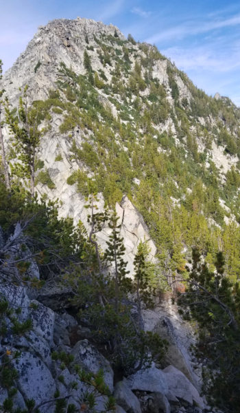
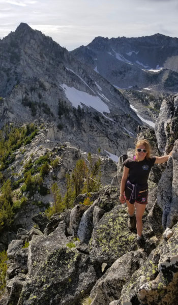
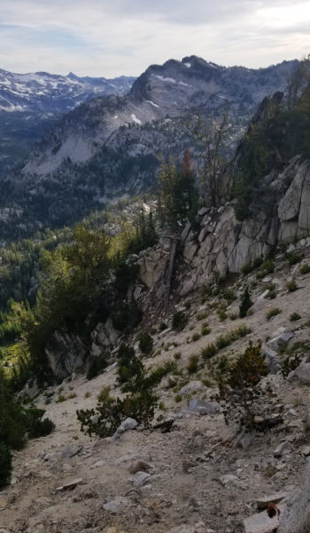
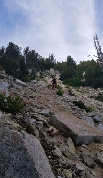
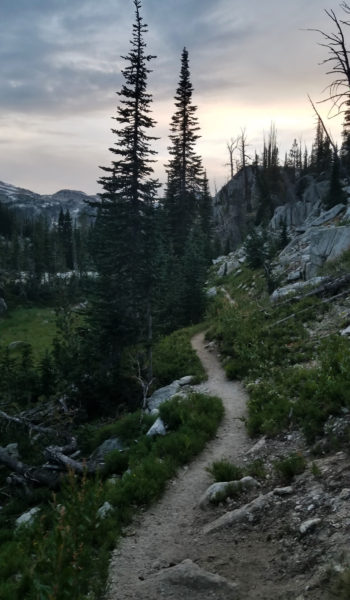
We packed up and started up the approach towards the ridgeline. The granite white/grey rock reminded me so much of Yosemite as we ascended. It wasn’t long before we were far above the lake we just swam in and seeing gorgeous views of the Wallowas in the distance. We reached the ridge after a loose steep chossey approach (2 steps forward 1 step back) and began to pick our way across the ridge. Move after slowly calculated move we made our way towards Razzberry Mountain. We clung to the rocks, sometimes Class 2, lots of Class 3, and a few Class 4 spots, the climb was a lot of fun! Junipers were the biggest pain, they tried their best to hold us back, guarding the peak like little soldiers. After an hour or more picking our way across the ridge, we finally made the last few moves and simultaneously touched the highest point on the mountain to gain the peak!!! Once again, we tuckered down and had a nice snack, taking in views of all the gorgeous mountains in the distance. How incredible this areas was, and it was so nice to be far from anyone else on a backcountry peak!

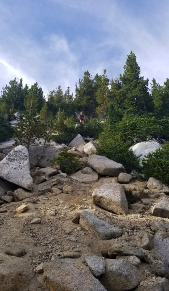
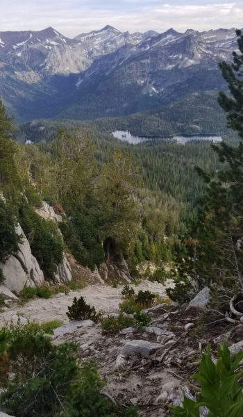
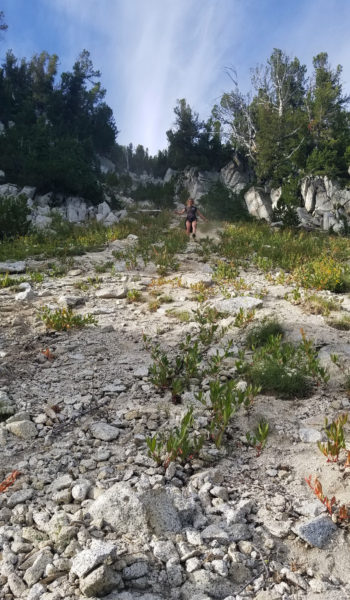
After basking in the views, we headed down, back towards a saddle where it seemed the path of least resistance to Razz Lake (which of course is straight down!). It was a chossboss scree surf down some really nice sand/rock back to the trail below. Izzie was all smiles when we finally got down and we chilled by the lake one last time before heading back. We said goodbye to Razz, turned back, and headed back to camp the way we came. We enjoyed the sunset and views of Eagle Cap as we trekked on towards camp. After a few miles, we reached camp, cooked up dinner, and were soon crashed for the night ready to take on Eagle Cap to see the Eclipse!
ADDITIONAL PICTURES:
HIKE INFO:
- Wallowa Mountains – Eagle Peak GPX: https://hikearizona.com/gps=38619
HIKE STATS:
- Weather: Hi in mid 60s, Low – 40s, Clear
- Water: 5 Liters (including dinner)
- Food: Instant Coffee, bagel, Triscutes and hummus, 1 PBJ, Orange, Apple, 2 Clif Builder Bar, 2 protein Bars, 1 Bag of Salt and Vinegar Chips, Gummy Worms, 1 Mountain House: Chicken and Mashed Potatoes.
- Time: 12 hours
- Distance: 12 miles
- Accumulated Gain: ~2500 accumulated
GEAR:
- 58 liter exos osprey backpack
- Big Agnes Copper Spur UL2 tent
- Big Agnes QCORE SLX sleeping pad
- Cosmic Down Kelty Sleeping Bag (rated to 20 deg F)
- Jet Boil – Sol
- Black Diamond trekking poles
- Black Diamond Storm Headlamp
- SPOT Gen3 Tracker
- Sawyer Squeeze – Water Filter
CLOTHING:
- Smartwool – long sleeve 195 shirt
- Cotton hankerchief
- Arc’teryx ATOM hoody
- Threadless hoody
- Patagonia Pants
- Merrell – Moab Hiking Boots
- Darn Tough wool medium weight socks

