

- Day 1: Bill Hall Trail head to Tepeats Cave and Thunder River
- Day 2: Thunder River to Deer Creek Traverse
- Day 3: Deer Creek to Bill Hall Trailhead
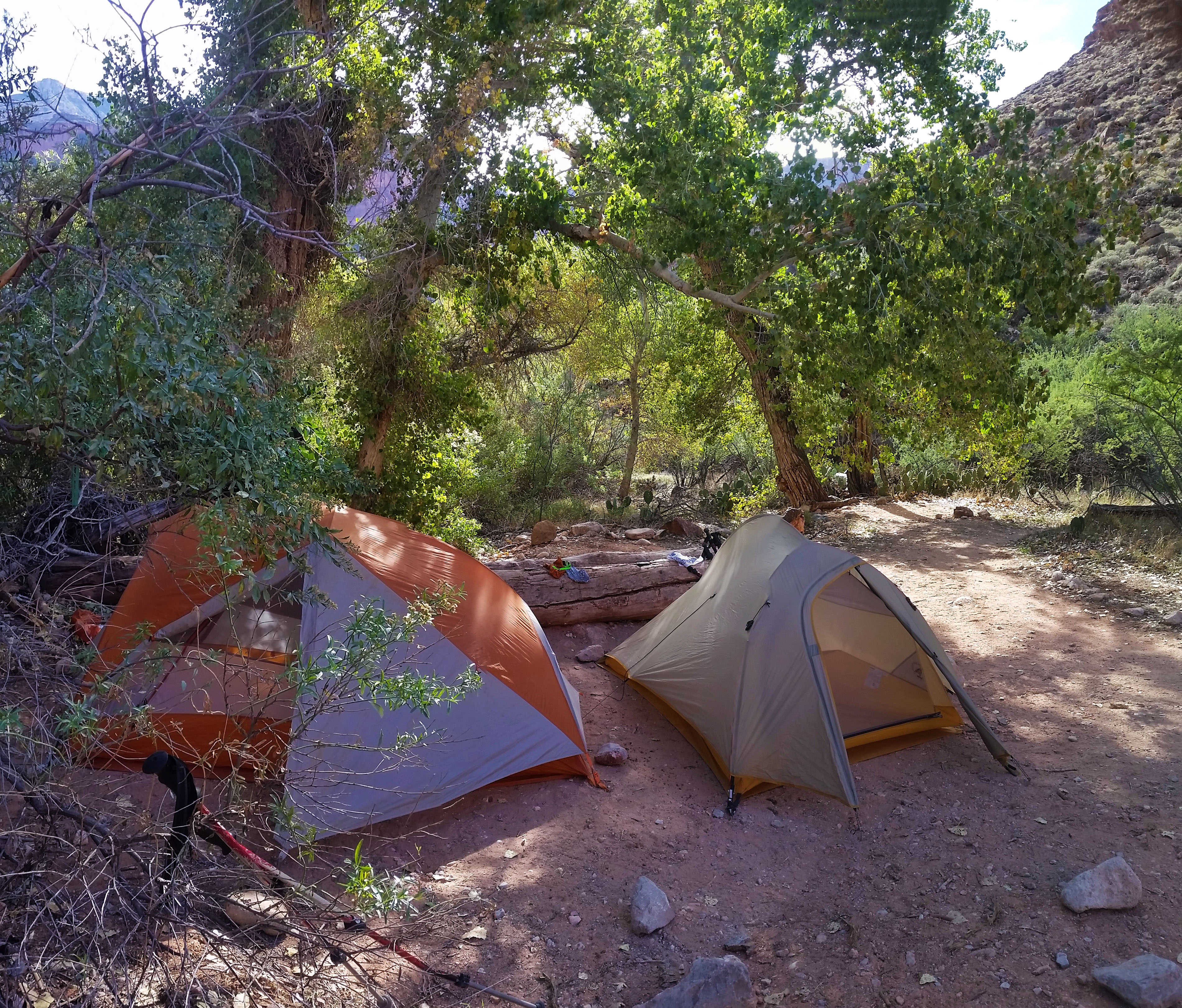
My eyes popped open and I looked up at the roof of my orange tent. I moved slowly and pulled myself into a sitting position to unzip my vestibule, and remembered I was in the bottom of the Grand Canyon. Golden light kissed the red walls, always a welcome reminder that I am somewhere special. It was time, yet again to get going. We emerged, and slowly gained motivation: boiled water for breakfast, broke down the tents, and packed the bags. Our goal for the day was to make it from Upper Tepeats camp to the Colorado River, where we would take a crosscut to Deer Creek campsite.
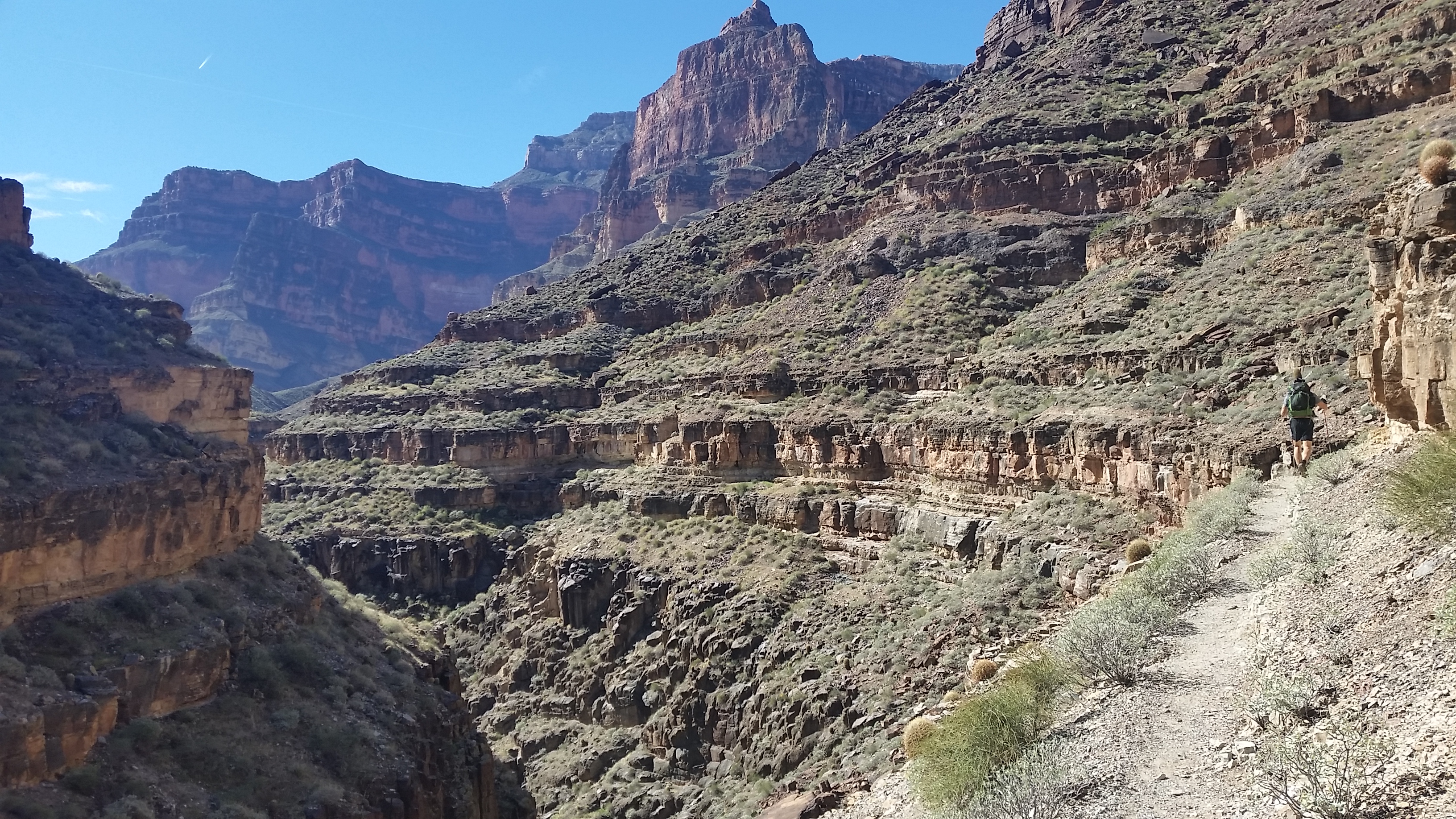
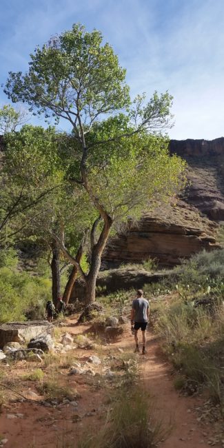
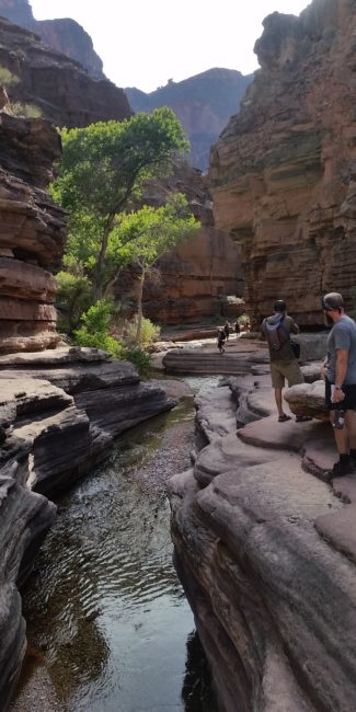
My legs actually took a bit of damage from the day before; it was a big 16 mile day. I stretched them out in between stuffing things in my pack and sipping on instant coffee. When we departed camp it was a late 8am. This would be our lightest day of the trip, but we wanted to make some good pace to spend as much time in the narrows of Deer Creek as possible. We headed south, towards the Colorado after finding a good creek crossing that took us to the east side of the canyon. With the water flowing through the bottom of the canyon, it was like a small oasis. Green lush plants clung to the creek’s side, hiding away from the heat of the desert in the open canyon. The huge cottonwoods, which had luckily survived monsoons and flash floods, stood tall and proud. We kept trekking until finally crossing back over to the west side of the canyon. From here the trail took to the cliff sides, quickly gaining elevation. The creek continued to drop below, as we skirted the impending drop-offs.
As we continued to rise out of the creek bed, the sun began going to work on us. The trail was slim and slender with a rolling drop-off at first, then to sheer cliffs which would drop you to the narrows of the creekbelow. We kept trekking, shading our eyes from the beating sun.
“Did you hear that?!” Stevo piped up. We all paused for a moment to listen. There were voices in the narrows, and it sounded like people were playing in the creek. Not long after hearing voices, we ran into two river rafters coming up from the Colorado. They were red from the sun and had some colorful hats, squirrely beards, sandals, and smiles. We stopped for a quick chat. They were on a 25 day self-guided rafting tour and they would stop off on side canyons on their way down the Colorado for day hikes. Their sights were set for Tepeats Cave. We warned them of the bushwhack ahead and wished them luck!
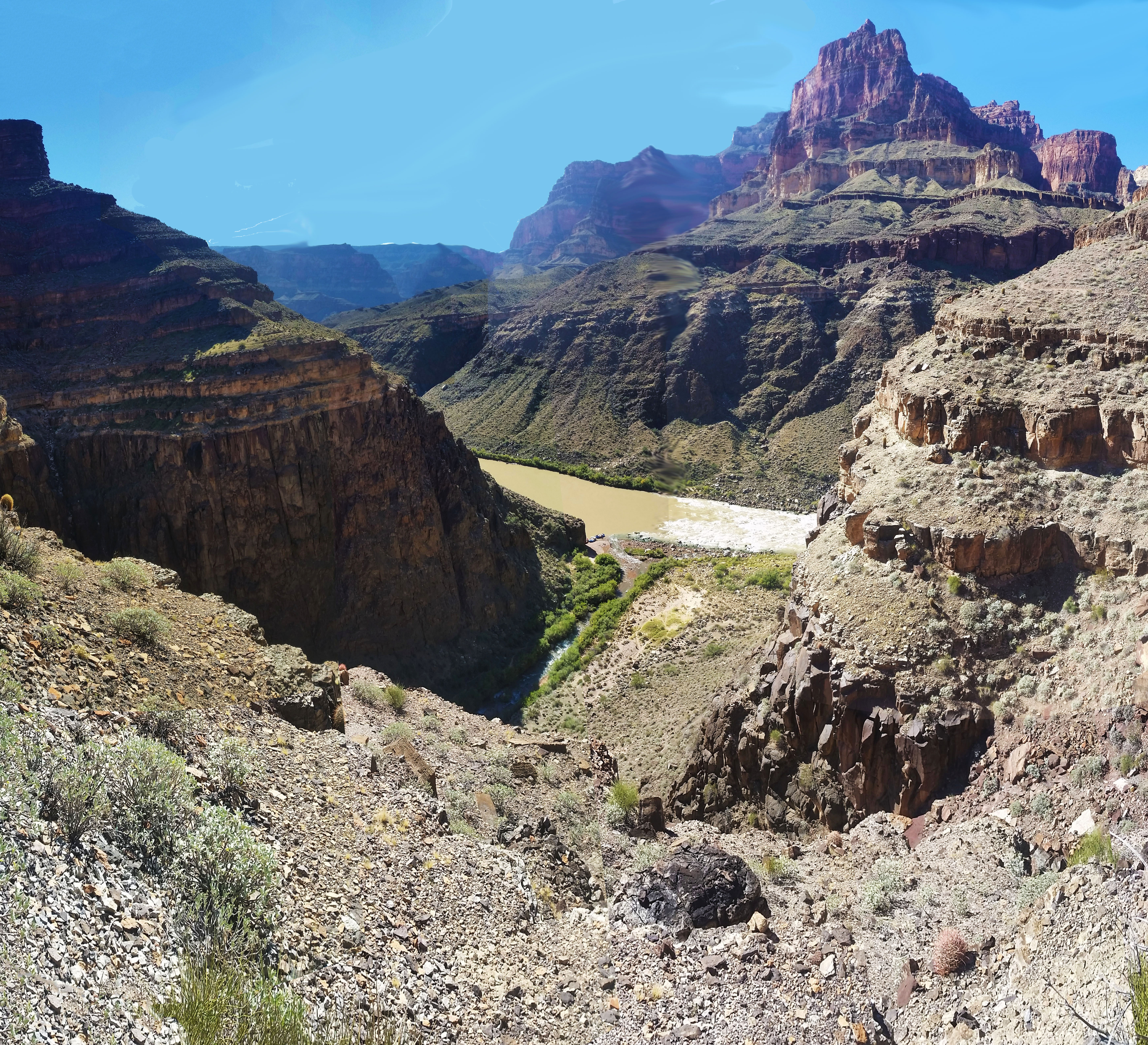
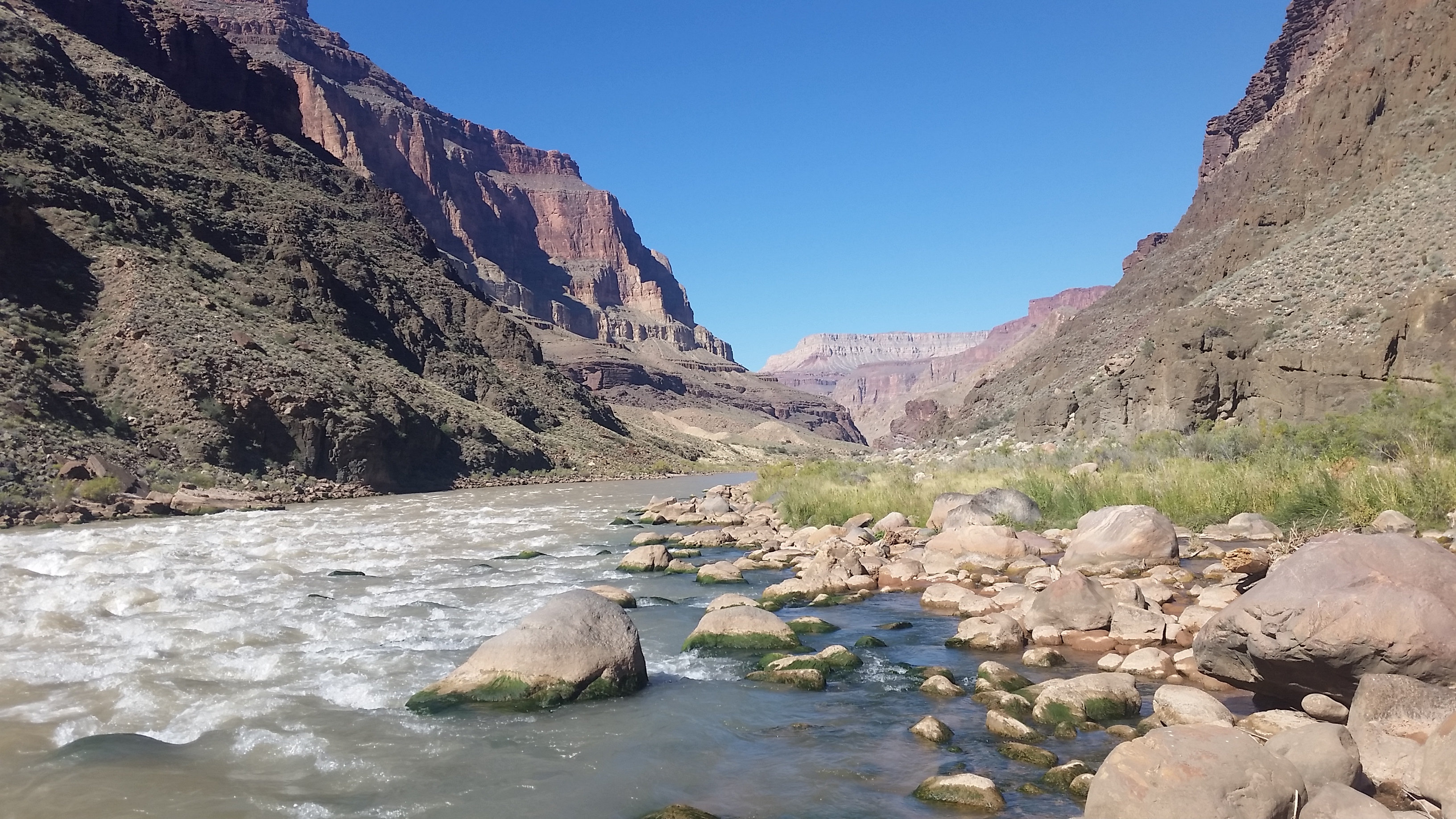
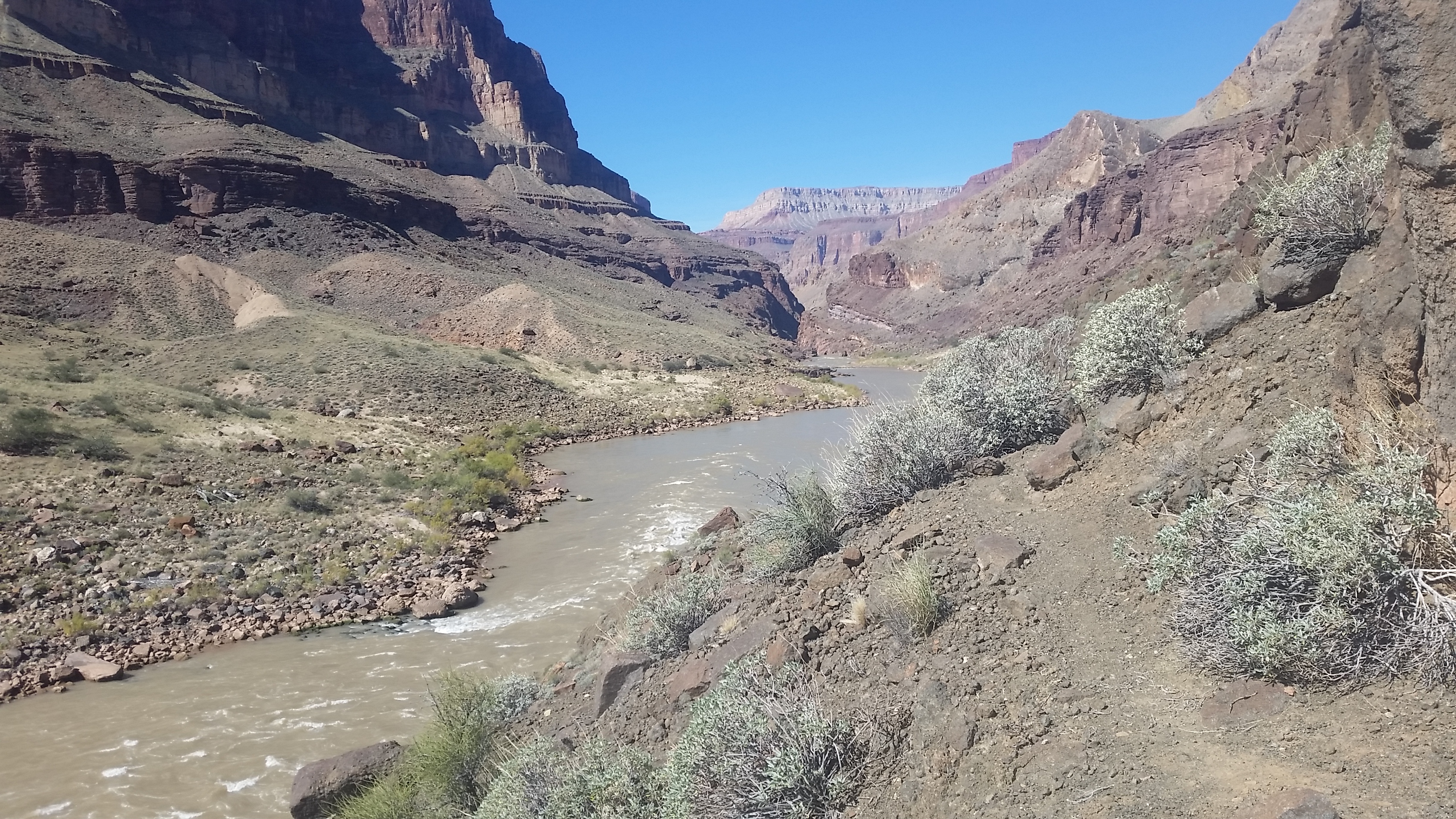
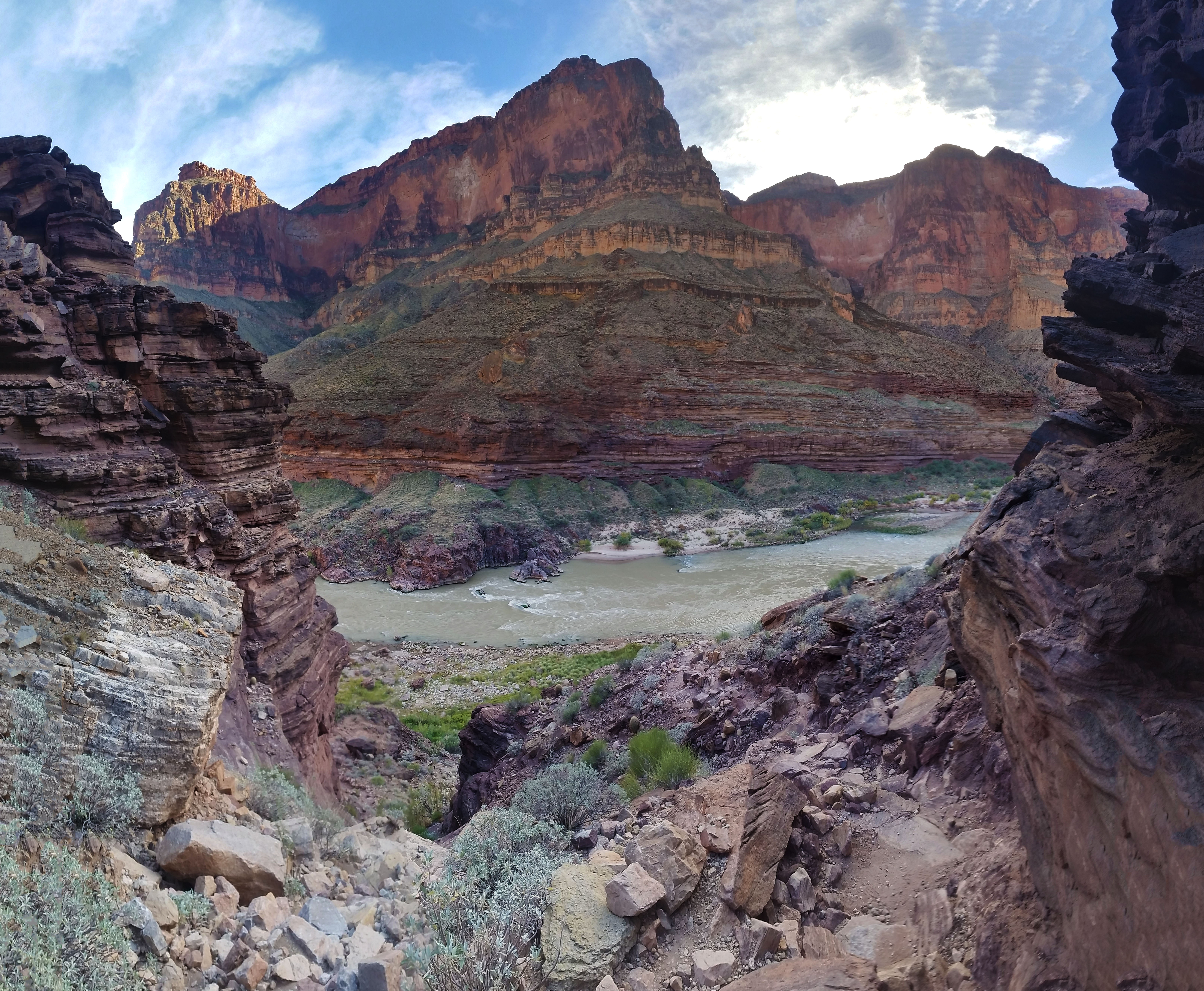
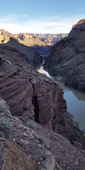
As we pushed on, we bumped into more and more rafters on their way up the Thunder River trail from the Colorado. They were all from the same crew, smiles all around. Finally we rounded the bend as saw the mouth of the canyon and the great Colorado River! We dove down the switchbacks, and before we knew it, we were slipping and sliding on the boulders leading us to the cold brown waters of the river. After resting for just a moment, one of the rafters that were ported at the confluence of Thunder River and the Colorado, headed our way. It was like some kind of dream: the gal brought us 3 fresh cold beers and we sat on the rocks in the sun by the river and enjoyed them. She let us know her husband was one of the guys headed for the cave while the rest of the group was doing a little less of an adventure day trek. We chatted for a bit, they were from an Alaskan river guide group and came to the canyon once a year for an annual rafting trip.
After sipping on the cool brews, we had to once again shoulder our bags and push towards Deer Creek. The 3 rafters that decided to tend to the boats offered to give us a small raft to ride it down to DeerCreek. It was an incredibly enticing offer as it would take us minutes to traverse the miles as opposed to hours. “We have to suffer!” I said as we all strapped on our gear and stood ready to traverse the miles to our next destination. They waved goodbye and we once again set out.
The Traverse Trail started out sandy- and wasn’t much of a clear trail at all. We bobbed in and out, high and low, following cairns and footprints further down the path. The sun was in full bear-down at this point and we felt it at the low elevation of the river. We kept trekking until finally coming to “The Notch” that everyone we chatted with mentioned being the only tricky part of the Traverse. The climb up the rock formation wasn’t too bad, down climbing, however, was loose and tedious. We blew past this obstacle and pushed on.
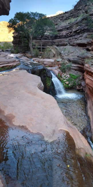
We came to a small ‘Y’ in the trail and decided to go high early. Go ahead and get the gain out of the way! It would bring us to higher elevations and slightly cooler temps (and maybe a breeze!). Up and up the warm trail we went, until we were finally a few hundred feet above the river again with great, expansive views of the canyon in the distance. The final push over to a saddle brought us just over the top of the Deer Creek campsite. We looked down at the inviting lush green oasis with relief that we were almost to camp and cool waters. “Man that looks delicious” Stevo exclaimed as he saw Deer Creek for the first time. We pushed on, found camp, set up our tent, and proceeded to sit in the creek for a half hour just to cool off and regenerate our spirits from the traverse.
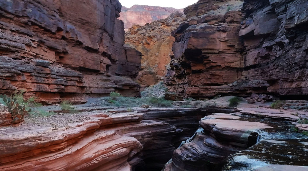
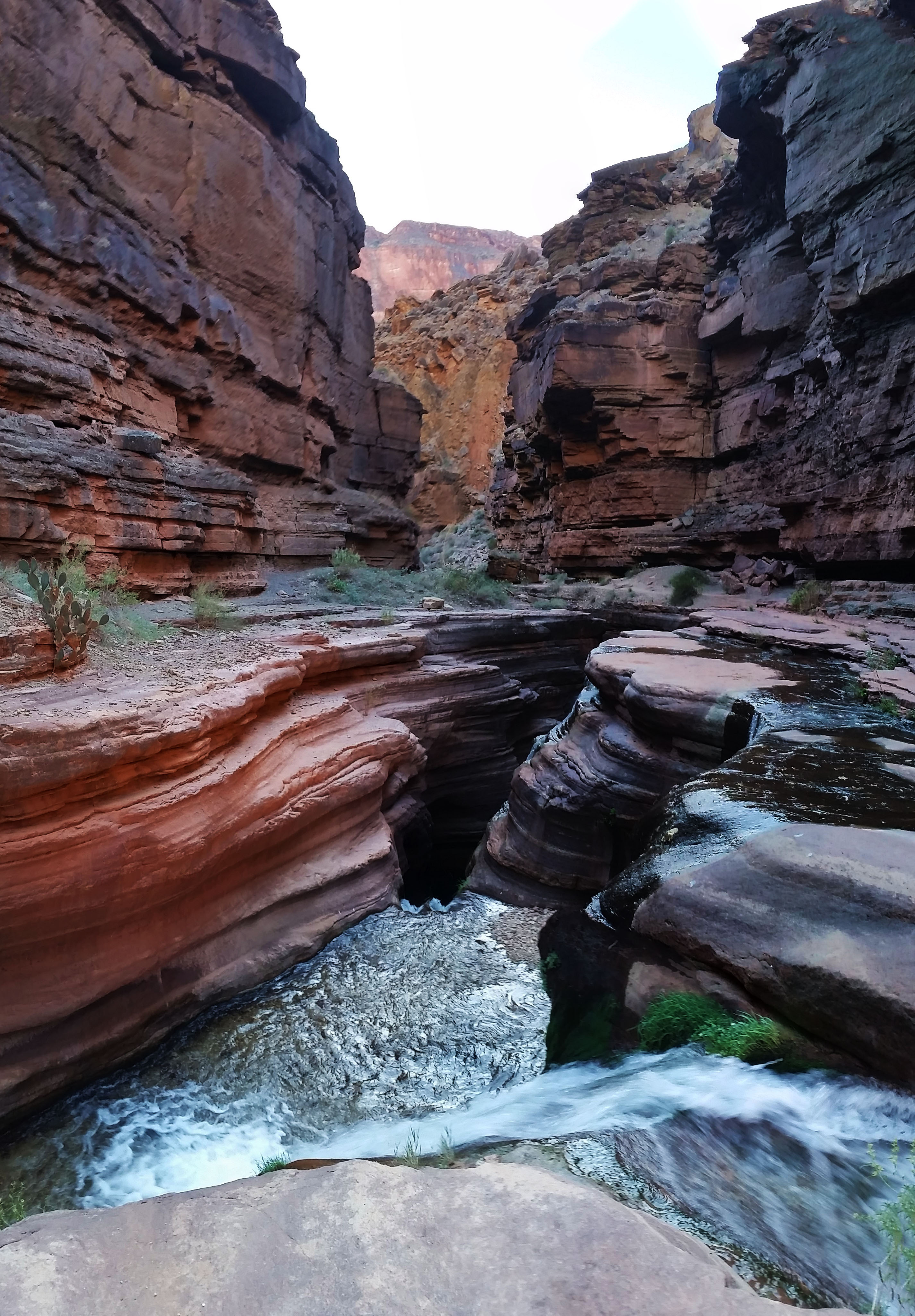
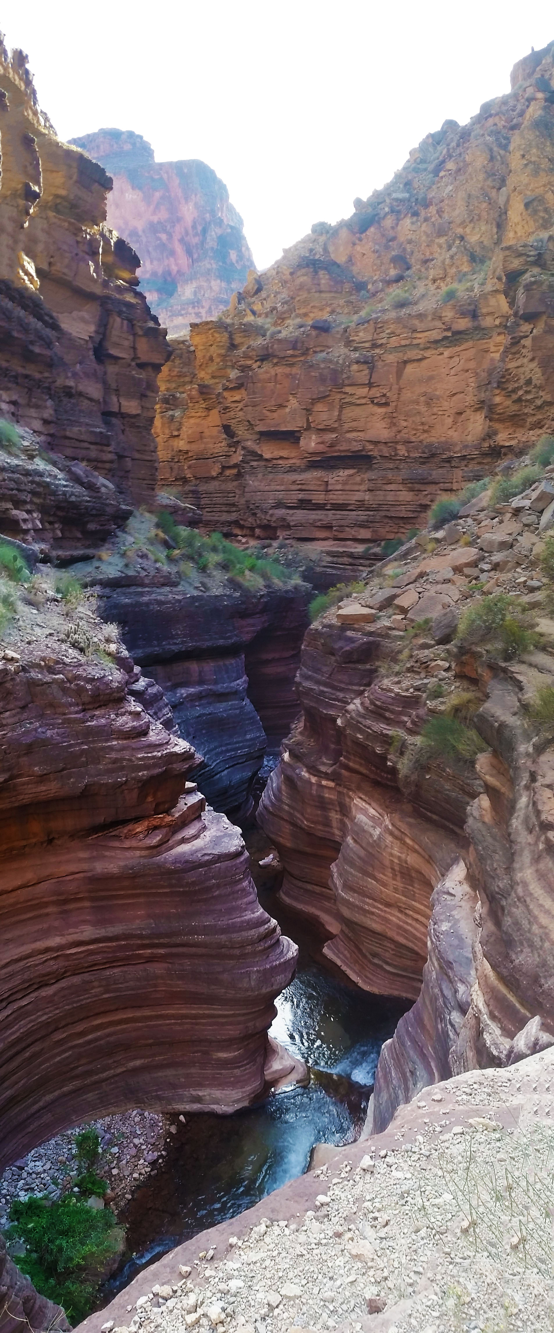
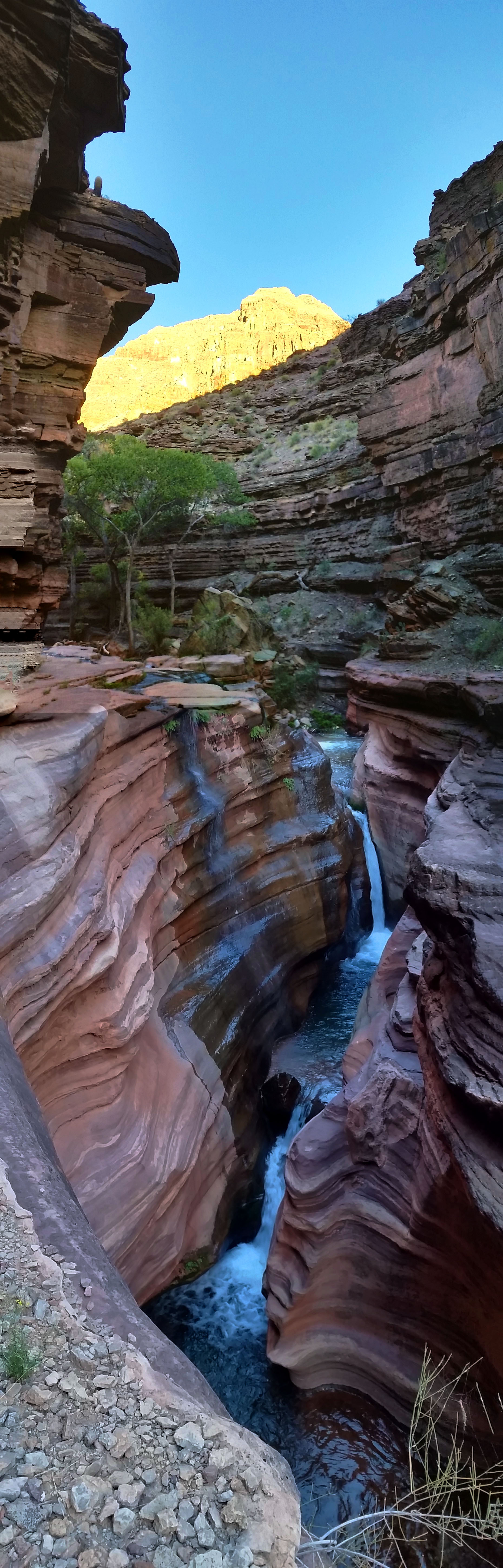
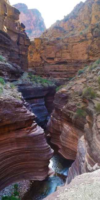
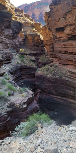
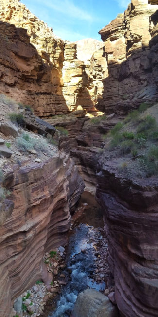
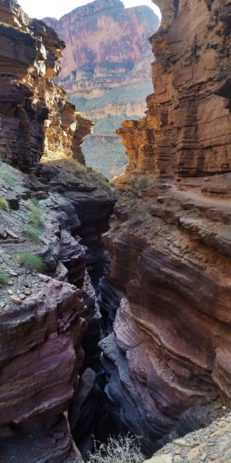
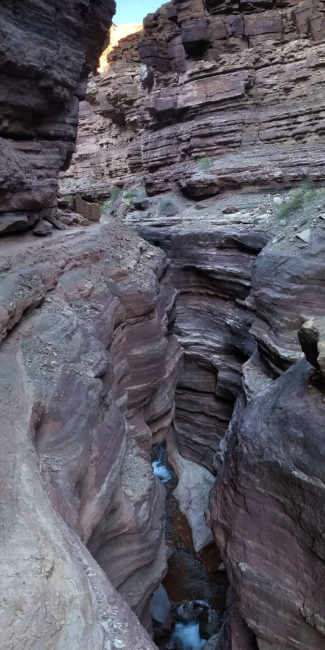
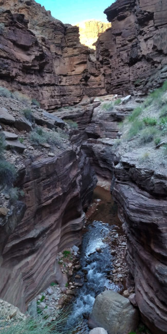
After some snacks and a good creek soak, we once again gathered our daypacks together and headed down to The Narrows. This place is absolutely incredible. Pictures don’t do it justice, words cannot describe it. It is something you must see for yourself to fully understand what it’s like. We bumped into the river rafters once again as we entered “The Patio” area (the mouth of The Narrows). The creek opened up wide, bounded by the rock faces on either side, and soon began funneling down into multiple cascading waterfalls as it descended towards the Colorado. The water had done some good work here and it was written on the faces of the canyon walls. Smooth and ribbed it looked like something from another world. We trekked on, skirting a small shelf on the west wall of the canyon headed south. When we finally reached the end of the skirt a large open area gave way to beautiful full views of the Colorado in either direction.
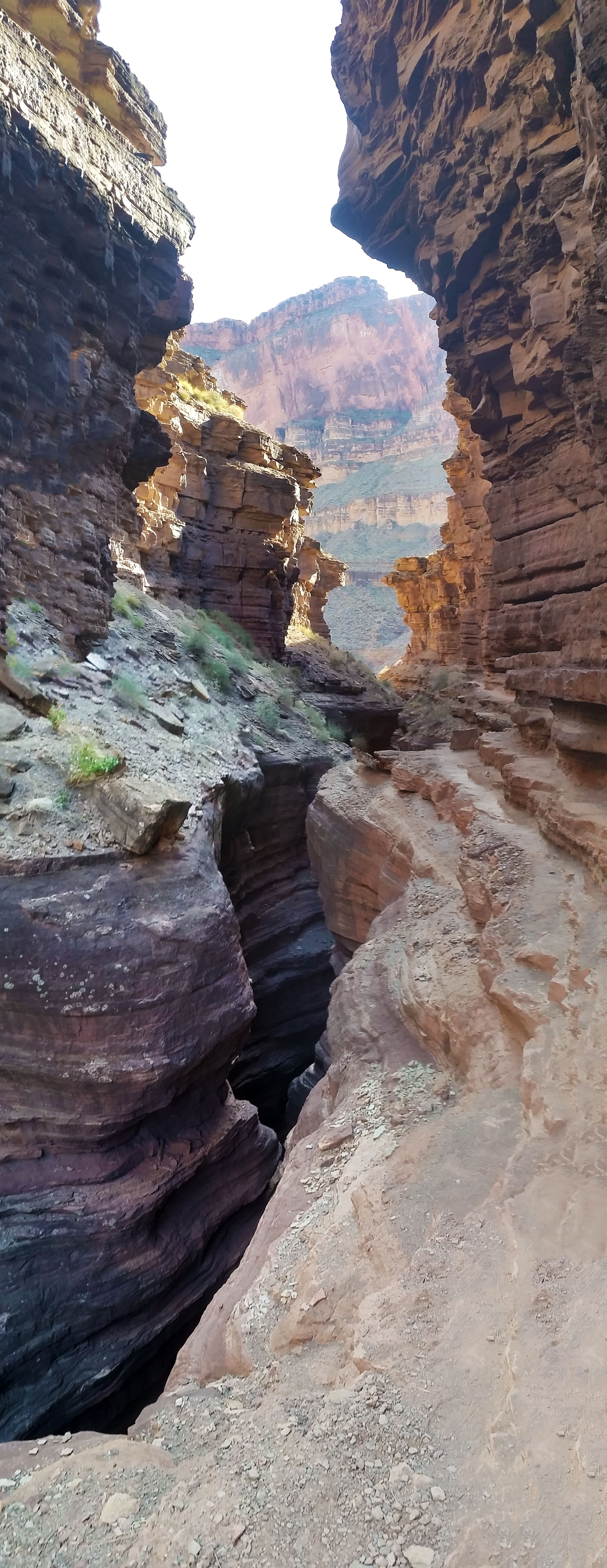
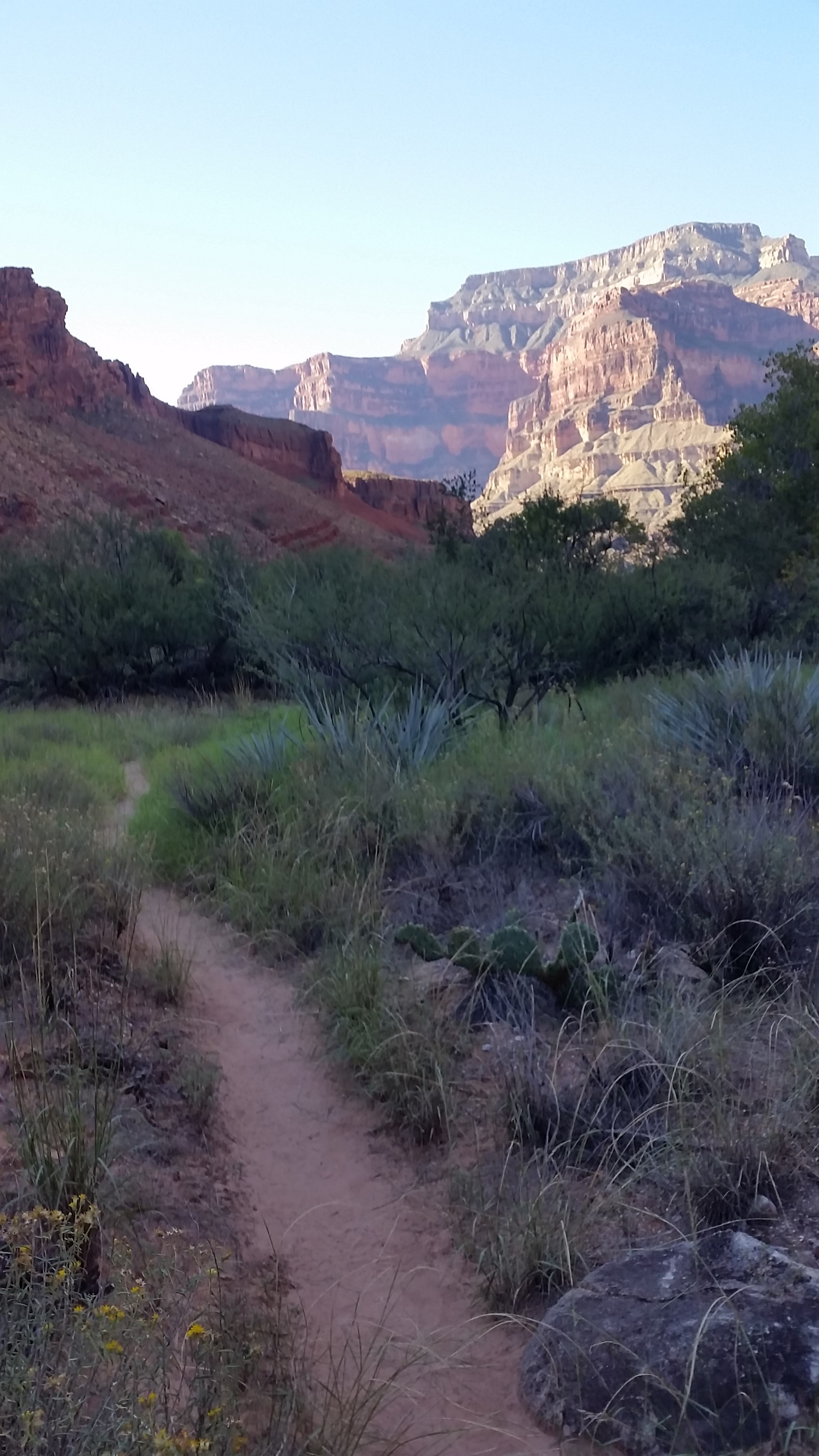
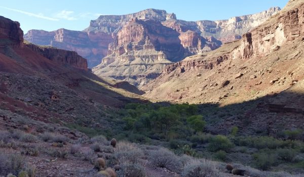
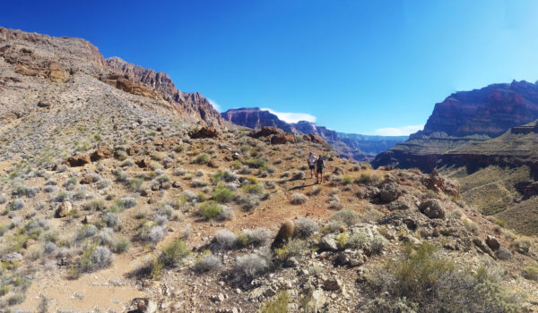
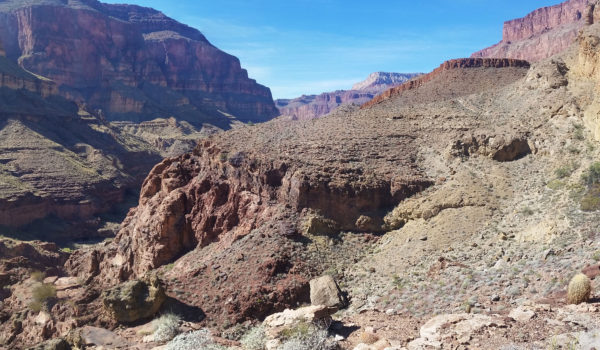
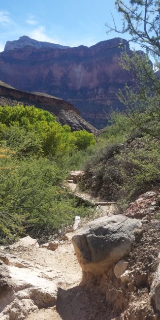
Awesome views as we descended the trail towards the Colorado
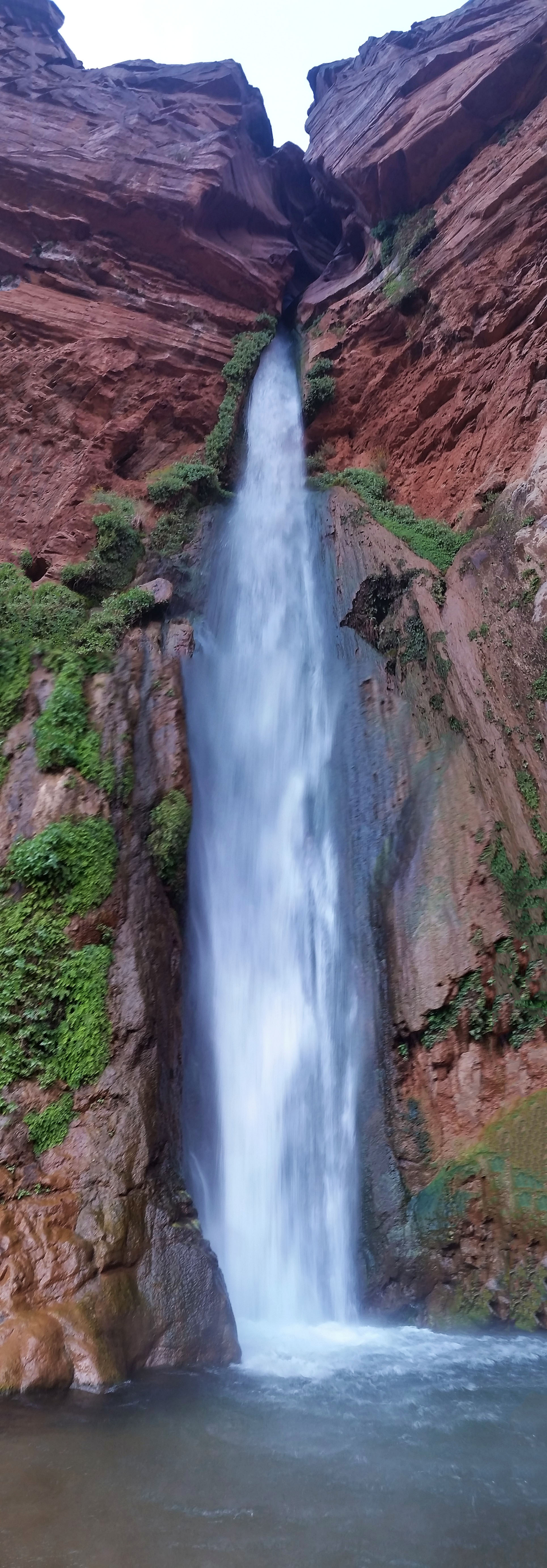
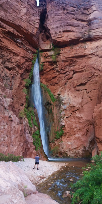
We bombed down the trail to the west switchbacking all the way until finally reaching the exit of DeerCreek, where the Narrows emptied into the Colorado. An 80 foot waterfall stood before us. It was powerful! The wind, from the water falling and colliding with the small pool below, pushed you back as you came closer. The water was brisk, cool, and clean. The mist from the waterfall covered our faces; we were so psyched, we barely noticed how cold the water was. After hanging out here for a bit and playing in the pools, we decided to push back up the narrows to camp.
As any good backpack, we ended the day tired and ready for bed just as the sun slipped away. We filtered water and grubbed down on a few Mountain Houses before finally crawling into our sleeping bags. Moments later, we crashed out for the night. It was another great day on the trail.
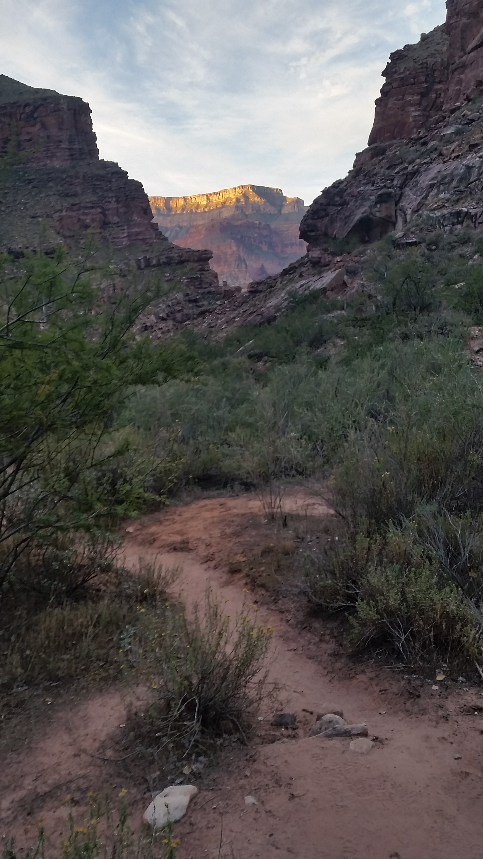
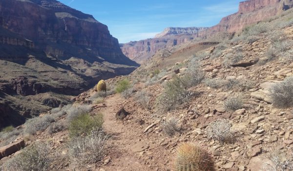
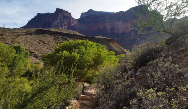
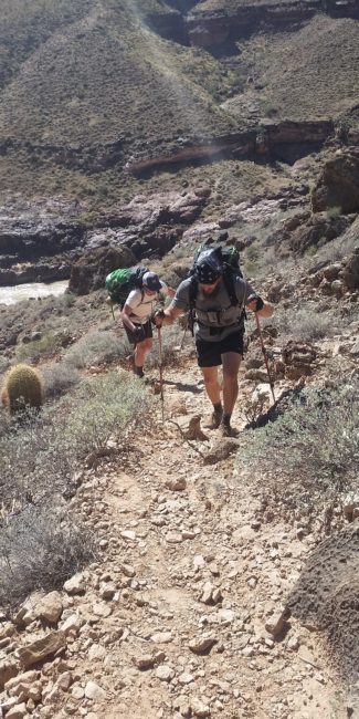
 Headed south baby!
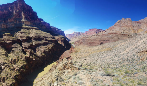
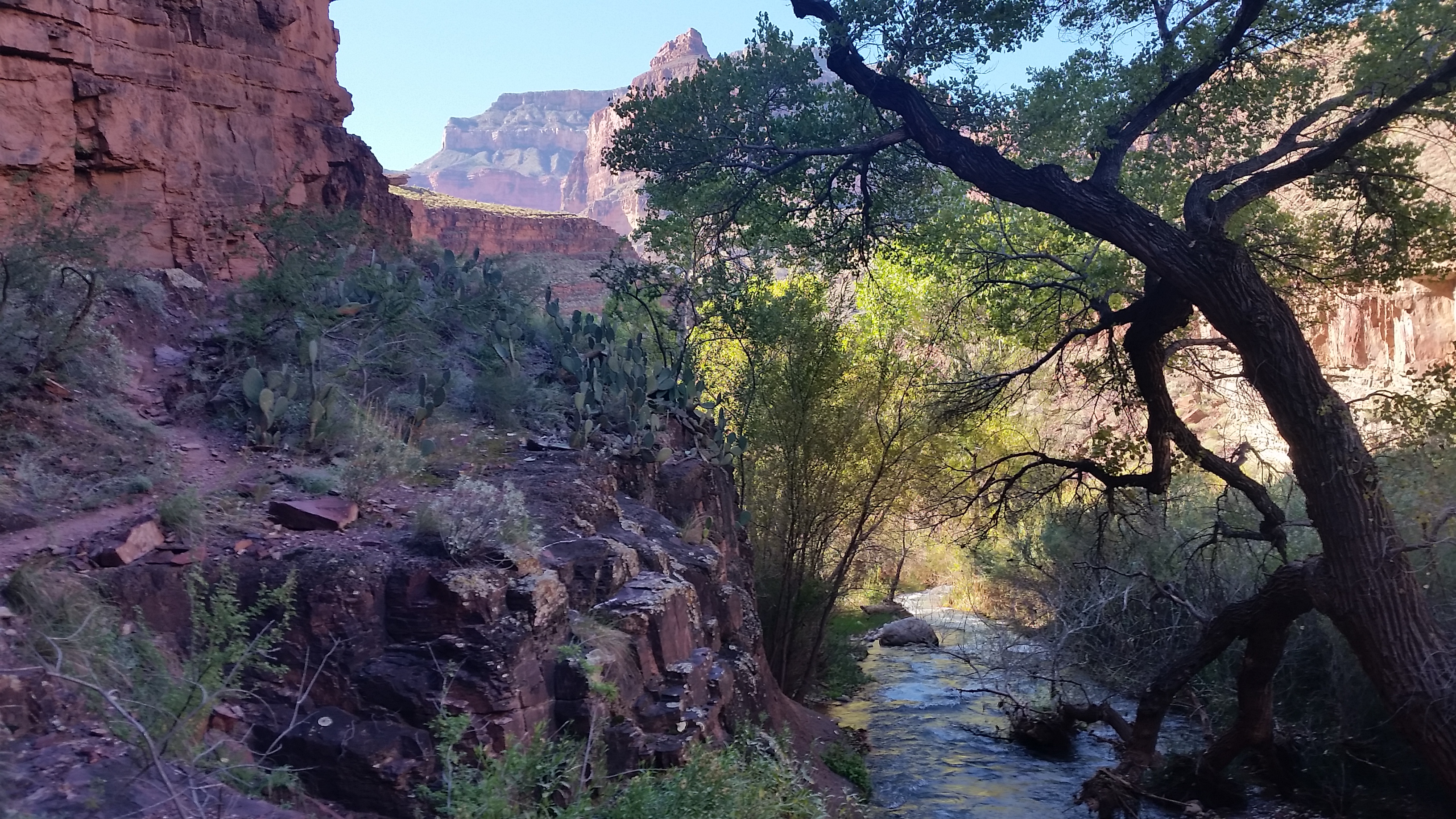
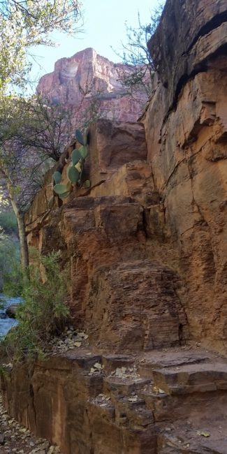
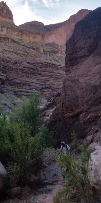
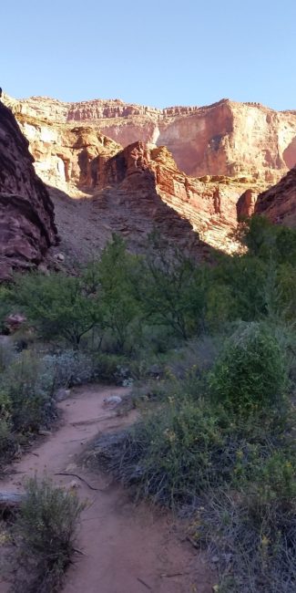 Looking back up towards the red wall on the morning of day 2
- The GPX Loop: http://hikearizona.com/
gps=25256 - Thunder River: http://hikearizona.com/
decoder.php?ZTN=1008 - Bill Hall Trail: http://hikearizona.com/
decoder.php?ZTN=612 - Tepeats Side Trek: http://hikearizona.com/
decoder.php?ZTN=19576 - Tepeats Cave – http://www.teamcrowbar.com/b82.php
HIKE STATS:
- Weather: Hi in upper 80s, Low in upper 60s, Sunny
- Water: 4 Liters (including diner)
- Food: 2 Power Bar, 2 Granola Bar, 2 Protien bars, 2 Clif Bars, 1/2 bag of Mediterranian Chips, 1/2 bag of trail mix, 1 apple, 4 bgas of Welches gummys, 1/2 bag of jerky, 1 Mountain House.
- Time: 10 hours
- Distance: Approx 8 miles
- Accumulated Gain: ~800 feet
GEAR:
- 58 liter exos osprey backpack
- Big Agnes Copper Spur UL2 tent
- Big Agnes QCORE SLX sleeping pad
- Cosmic Down Kelty Sleeping Bag (rated to 20 deg F)
- Jet Boil – Sol
- Black Diamond trekking poles
- Sawyer Squeeze Filter
- SPOT Gen3 Tracker
CLOTHING:
- Wool T shirt
- Cotton hankerchief
- Pearl Azumi arm coolers
- Arc’teryx hoody
- Nike running shorts
- Merrell Mid Moab Hiking Boots
- Darn Tough wool medium weight socks
- Threadless hoody
