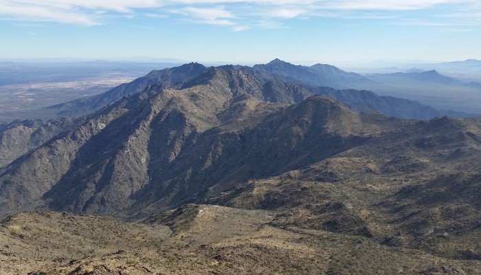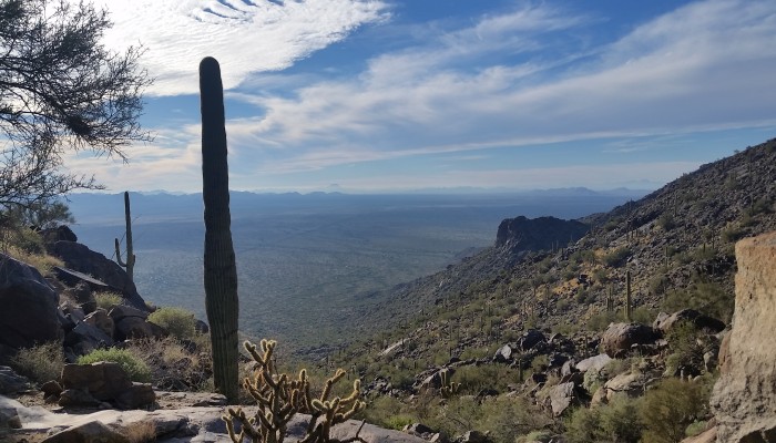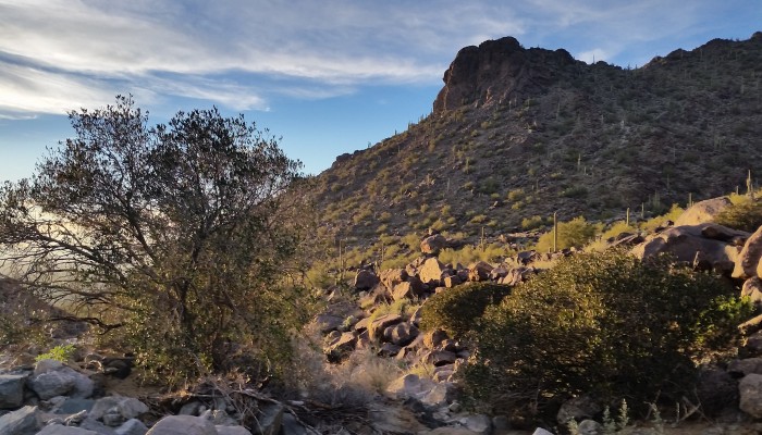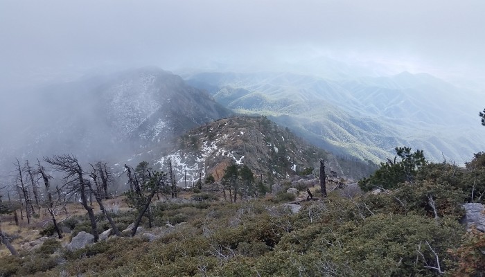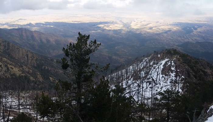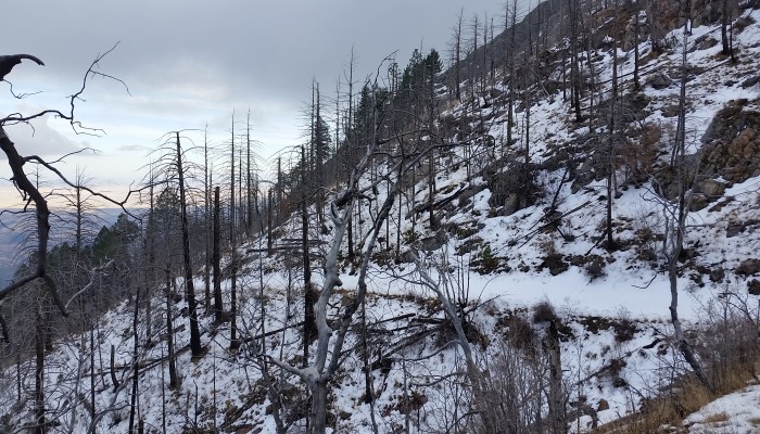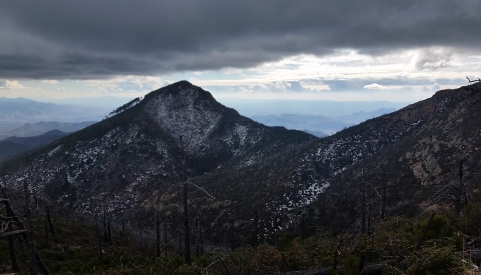
Estrella Mountains High Point : Hayes Peak (1.18.15) AZ

Share
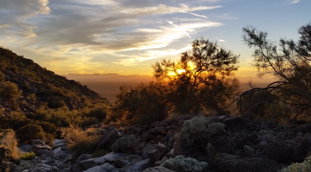
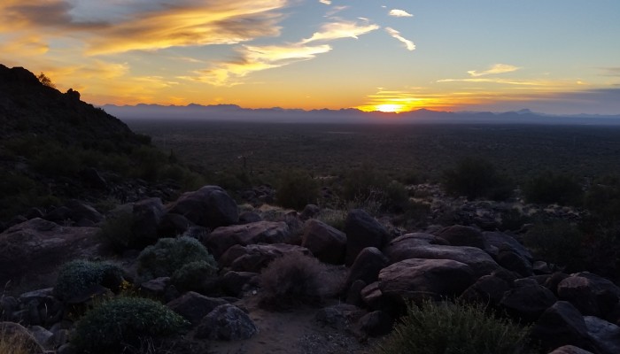
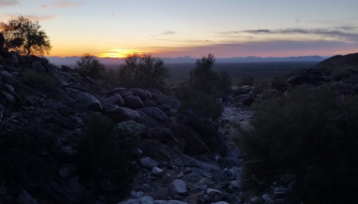
20150118_173904
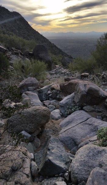
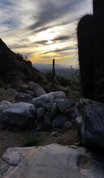
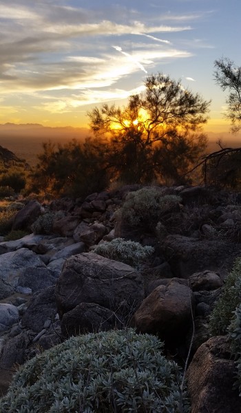
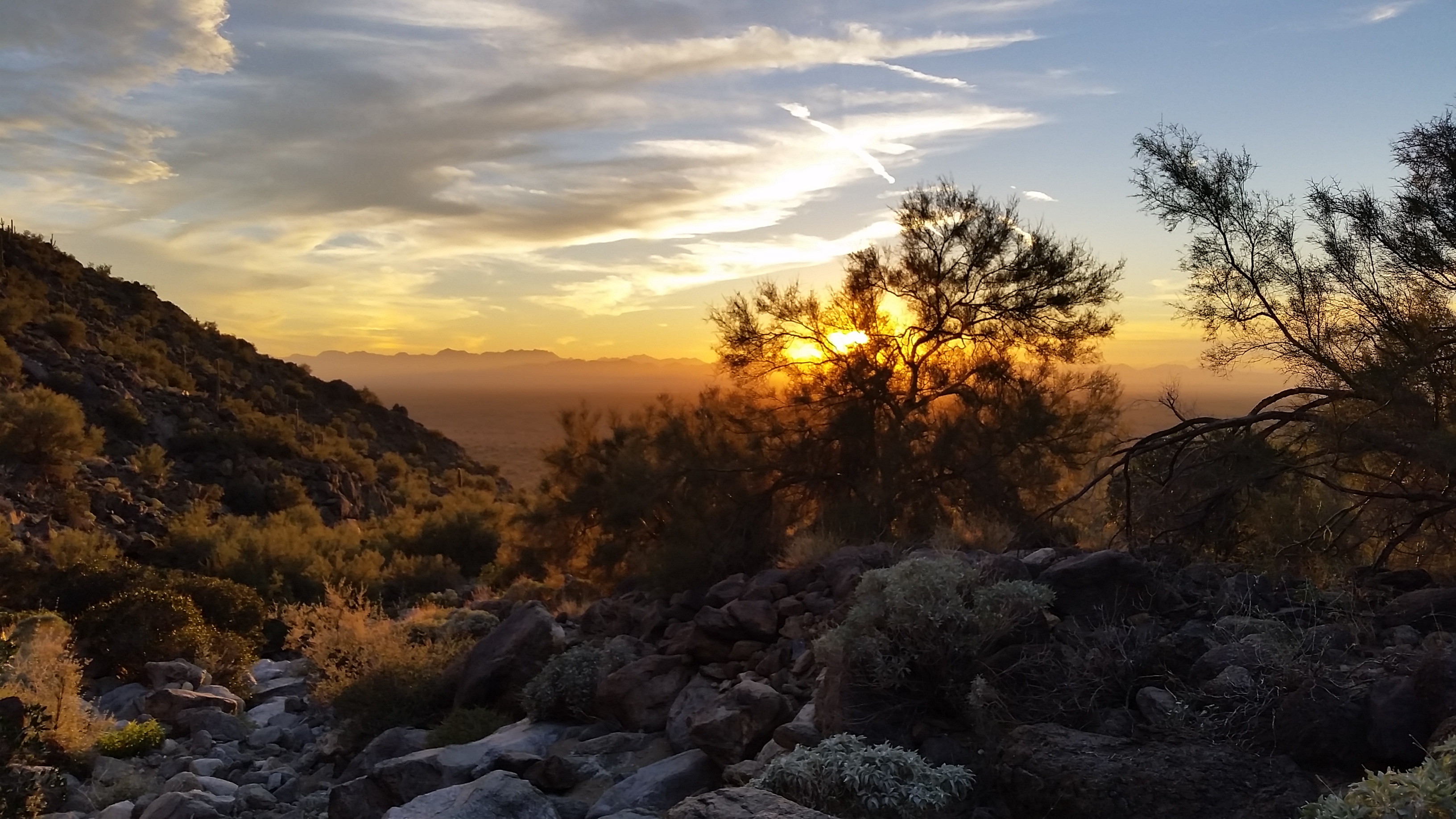
View of the Sunset on the walk back to the truck (click to enlarge)

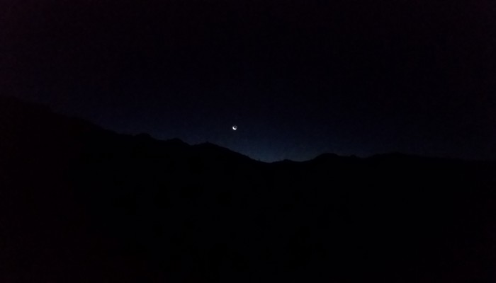
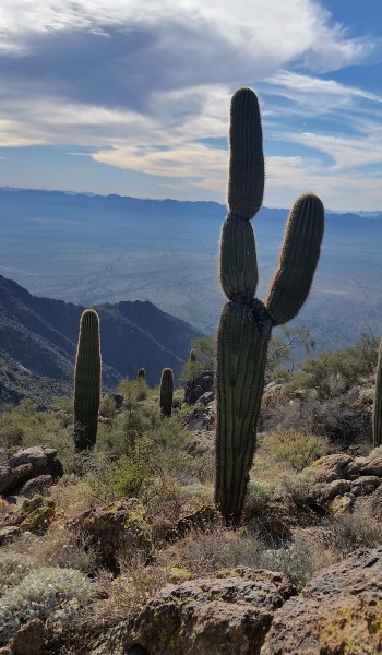
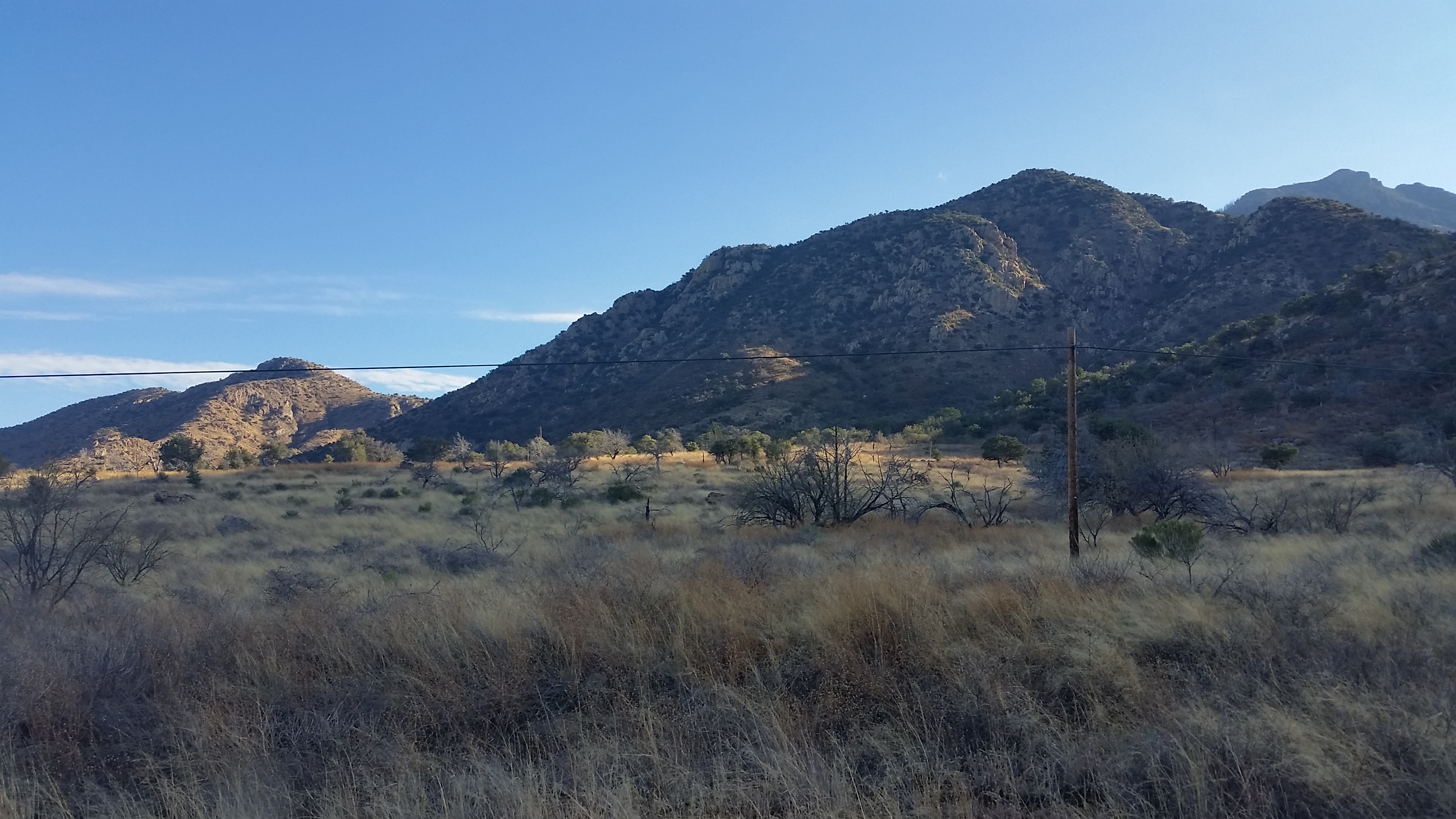
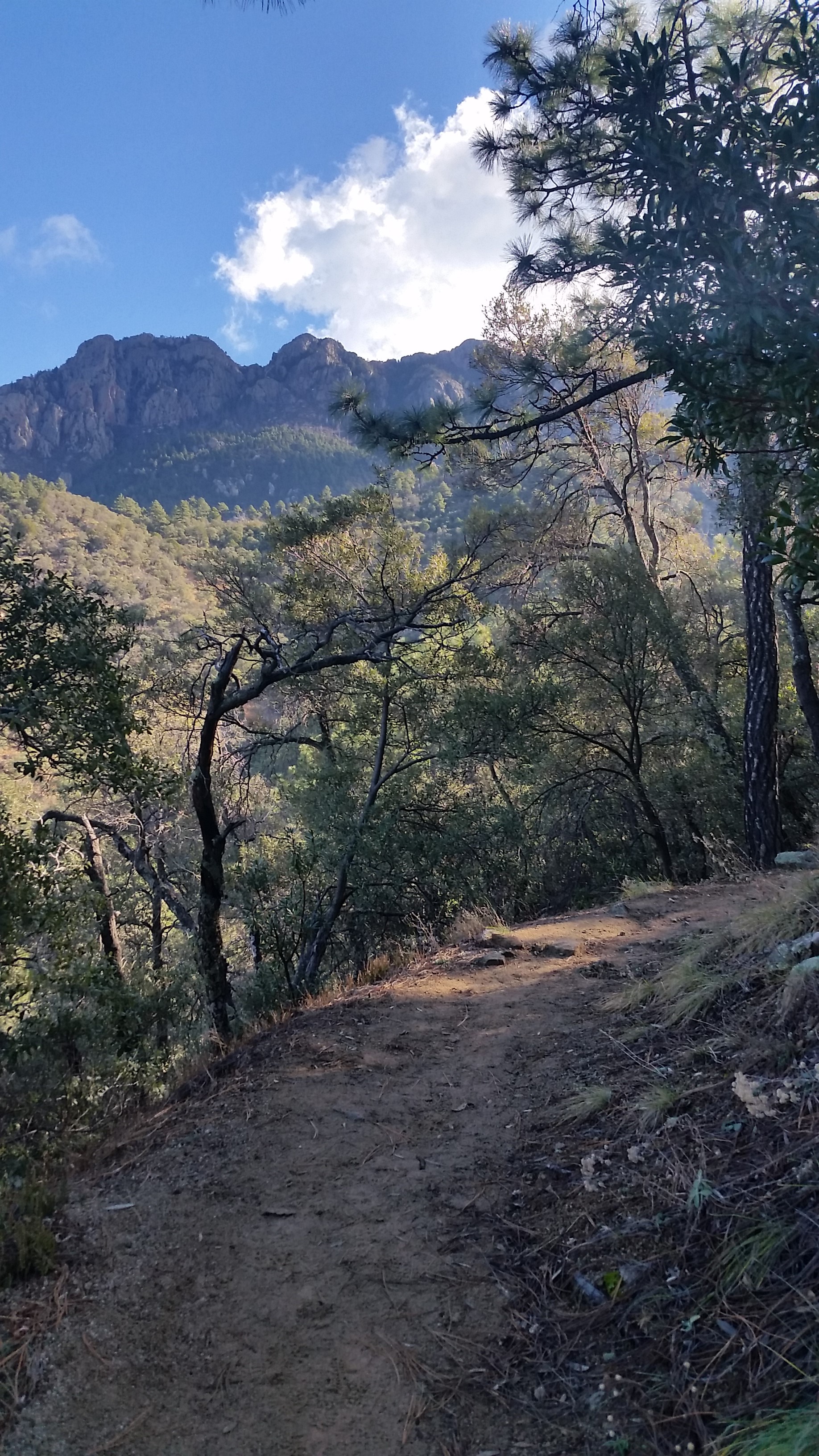
I woke up in my warm sleeping bag to a nice crisp, cool morning at the base of the Estrella Mountains. Crawling out of my tent like some primitive creature and pulling my boots on, I stood up to be faced with some awesome views of a crescent moon hovering the silhouette of the ridgeline I hoped to climb that day. Two friends and I planned to ascend a trail-less wash up to a ridgeline walk to the highest point in the Estrella Mountains nicknamed Hayes Peak. Those of you who don’t like bushwhack trails or obtaining special permission from Indian reservations need not apply!
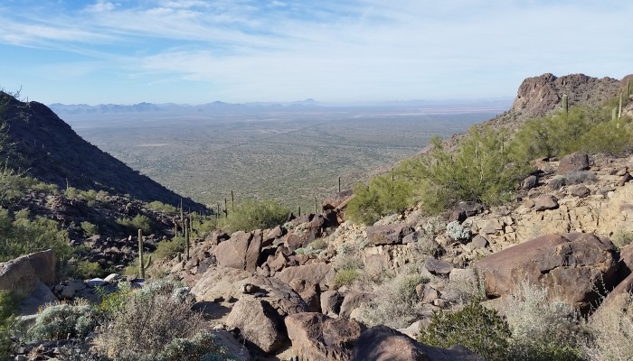
20150118_090459
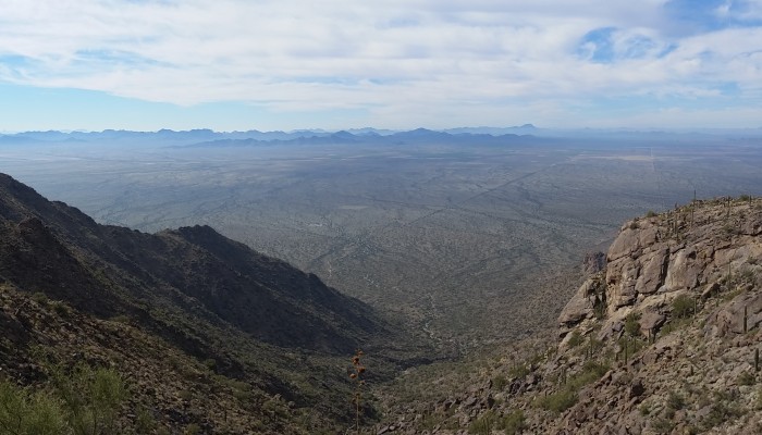
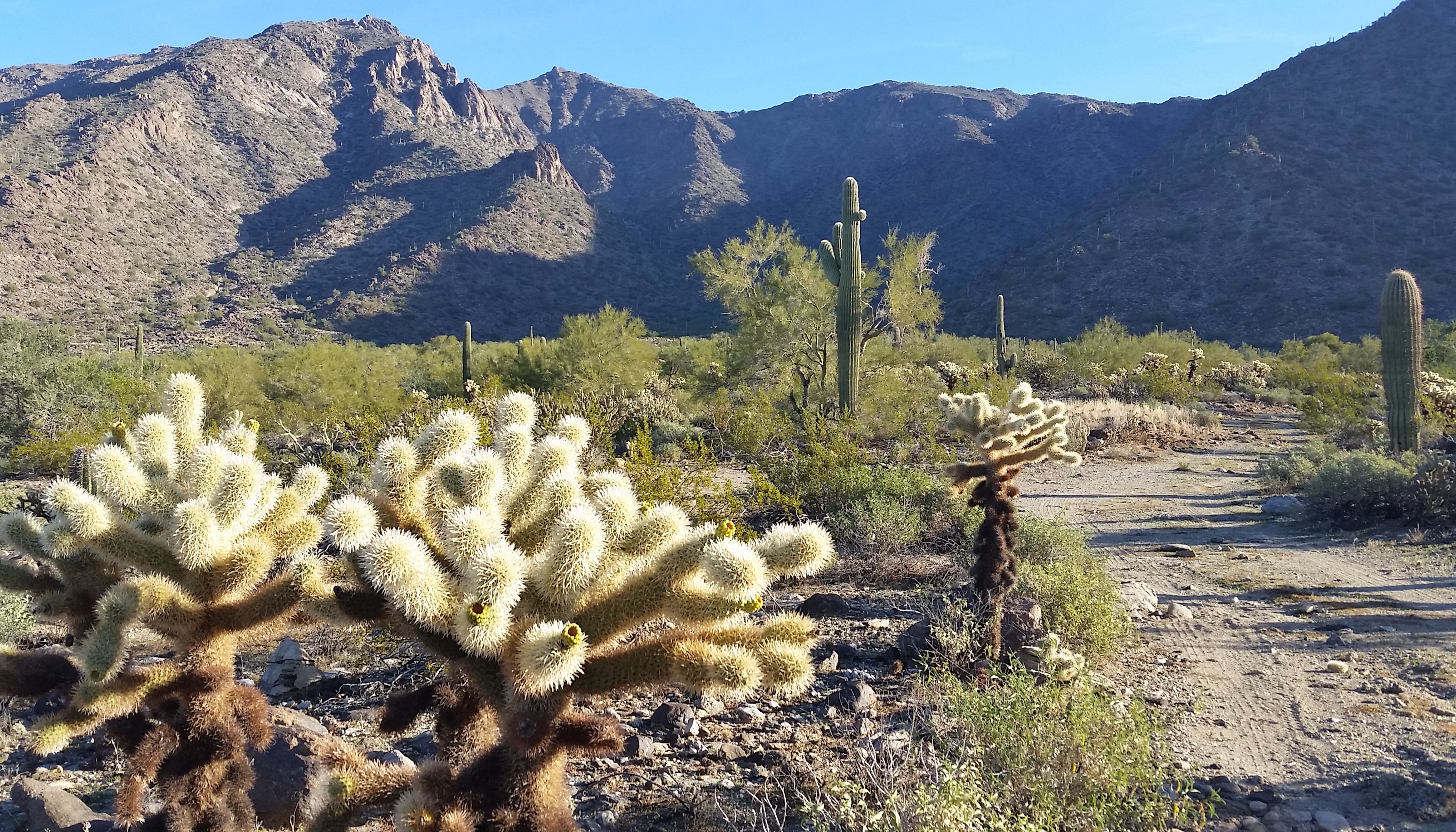
Initial approach, Hayes Peak the second from the left (click to enlarge)

After sunrise we ate breakfast, strapped on our packs, and headed out from our campsite not knowing what the day had in store for us. The road we initially started to walk towards the mountain soon disappeared into a system of washes. We walked about 100 feet east of the old road and dumped into the wash that would eventually take us to the ridge. We hopped, jumped, climbed, and scrambled up, around, and across rocks endlessly, all the while attempting to avoid spiked trees, spiny cacti, and other thick brush attempting to hold us back from reaching our goal. We kept at it, taking a few breaks in the shade of the rocks, passing jokes about how it takes a special kind of person to think that this form of torture was actually enjoyable! Scratched, sweaty, and bruised, we pushed towards the ridge.
20150118_105830
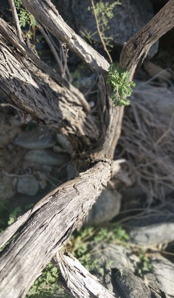
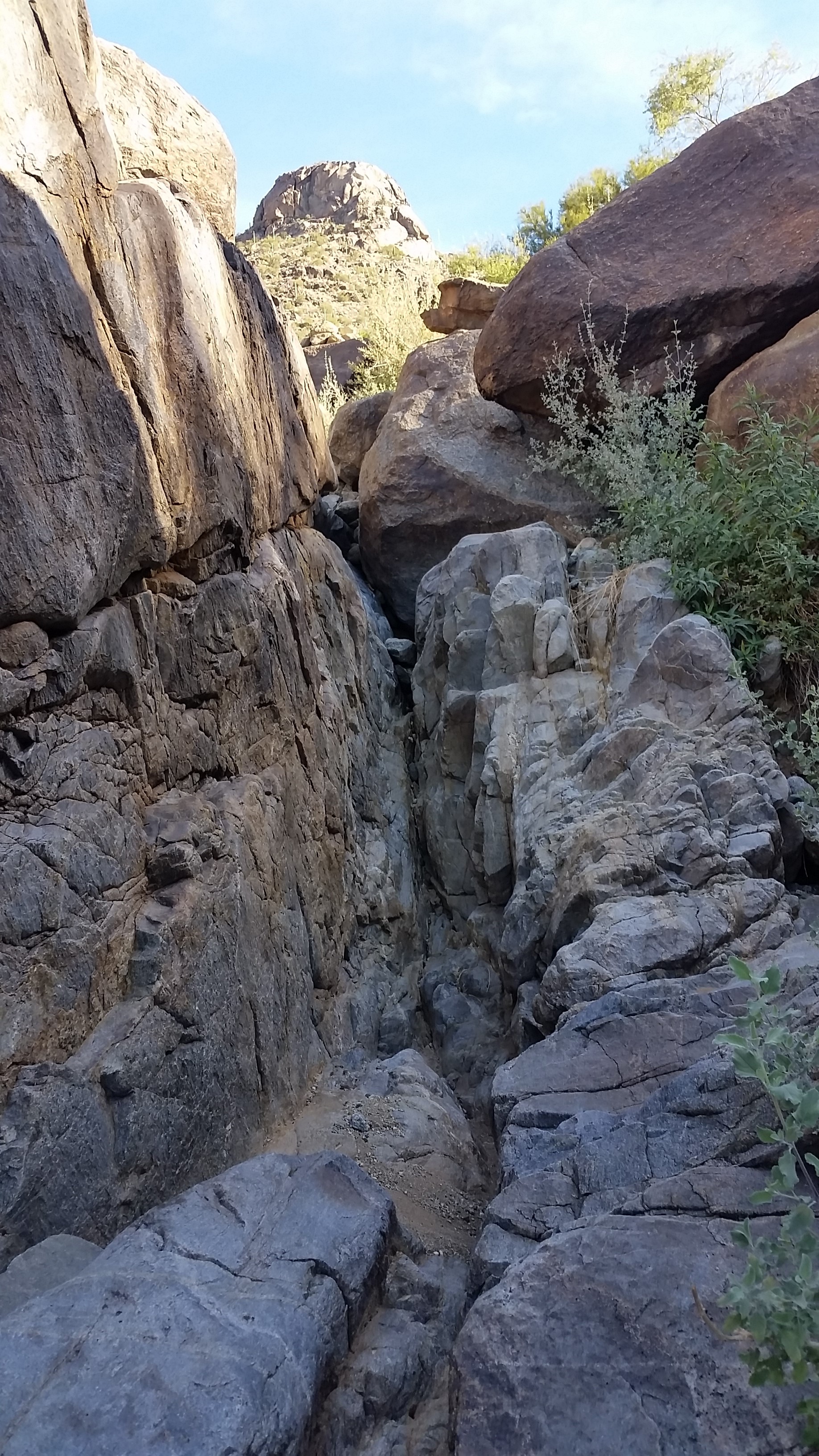
Some of the fun obstacles in the wash

The wash is pretty constant in its gain and bushwackiness (yup that’s a technical term). Towards the ridge line, however, we banked west to climb the last couple hundred feet or so, which proved to be less than forgiving. My good friend’s fiancé decided to call her limit at this point and turn back (don’t get me wrong, way tough chick, did I mention 6 months pregnant?). They headed down, leaving the peak bagging to me. I jetted up to the ridge and pushed hard to cover the last 1.5 miles to the peak. I’ll admit this was not an easy feat; tons of grueling inclines, cactus dodging, and beaming sun to make the last push a challenge.
20150118_133628
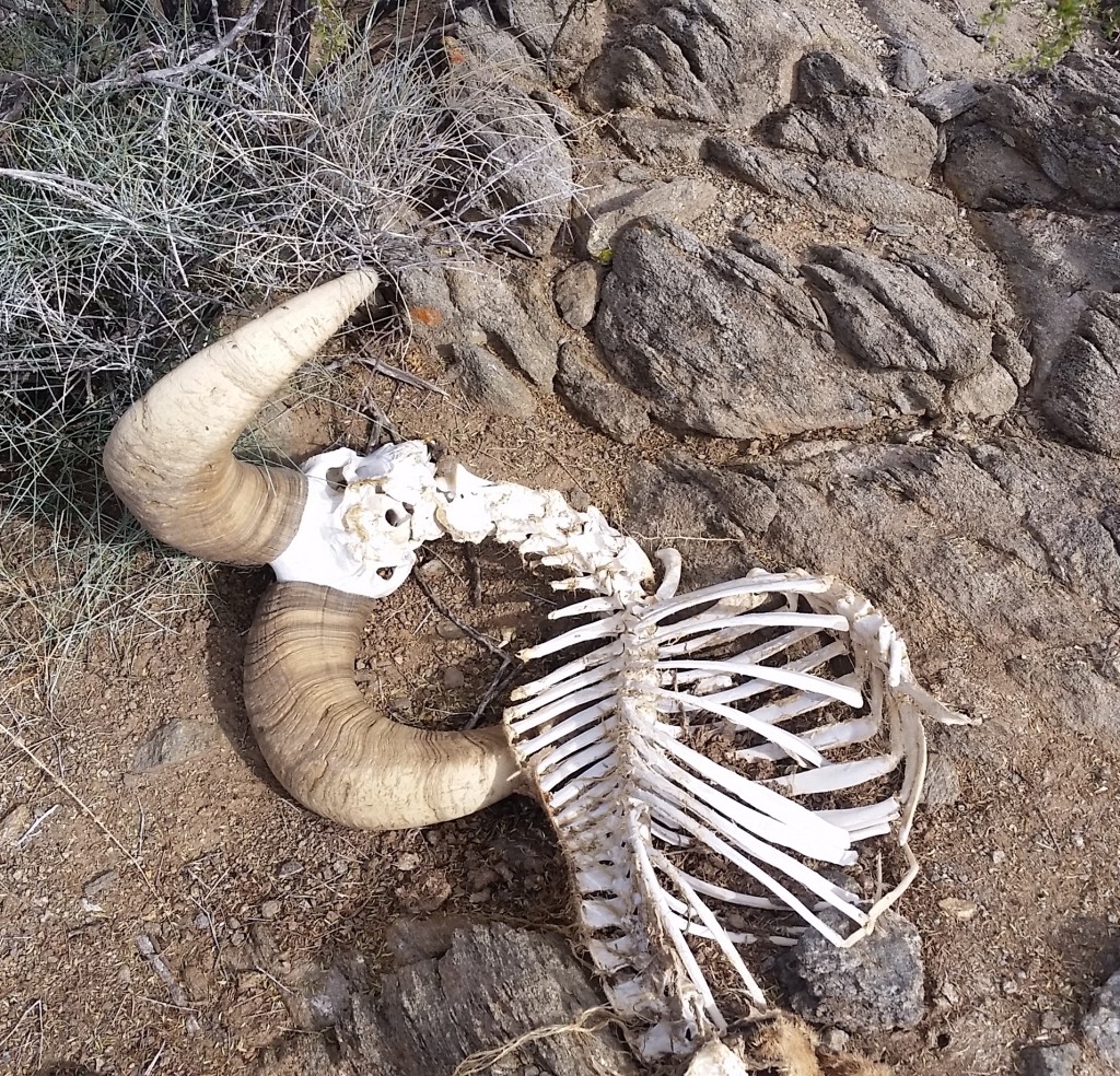
Bighorn Sheep – They live (unfortunately not this guy) in the Estella’s!!

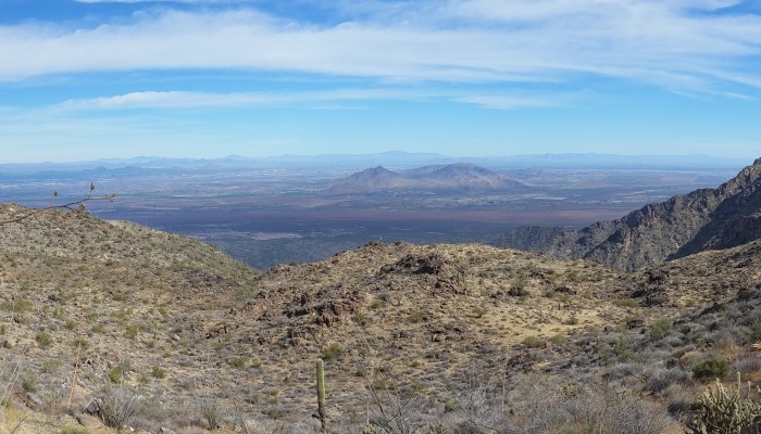
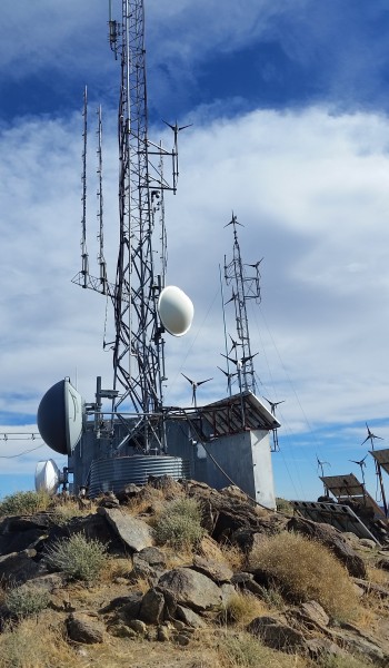
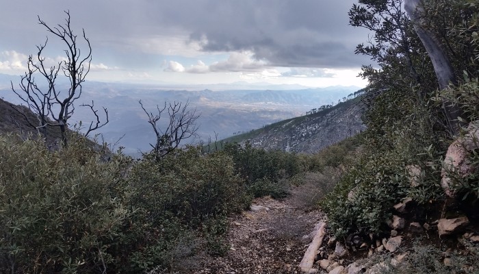
Traversing the ridgeline I came across a big horned sheep. Unfortunately, this guy met an end by what one could only imagine to be one killer life out in the wild. The horns were massive and had almost a full 360 curl; he was definitely a big boy! Even though he wasn’t alive, I had evidence that they lived here in the Estrella Mountains. I instantly put my head on a swivel looking for predators in the area as I trekked on. Up, up, up I pushed until finally reaching the peak with a small tower station and multiple sets of solar panels. The view of South Mountain and Phoenix was strange from this point but wonderful to see. With killer views all around, I snapped some quick pics and decided to jet back down to meet my friends. On the way back I eyeballed a beastly peak to the southwest of Hayes (not sure of the name but stands at 4232) that looked as though it may require some rope to reach summit.  If I only had more time…
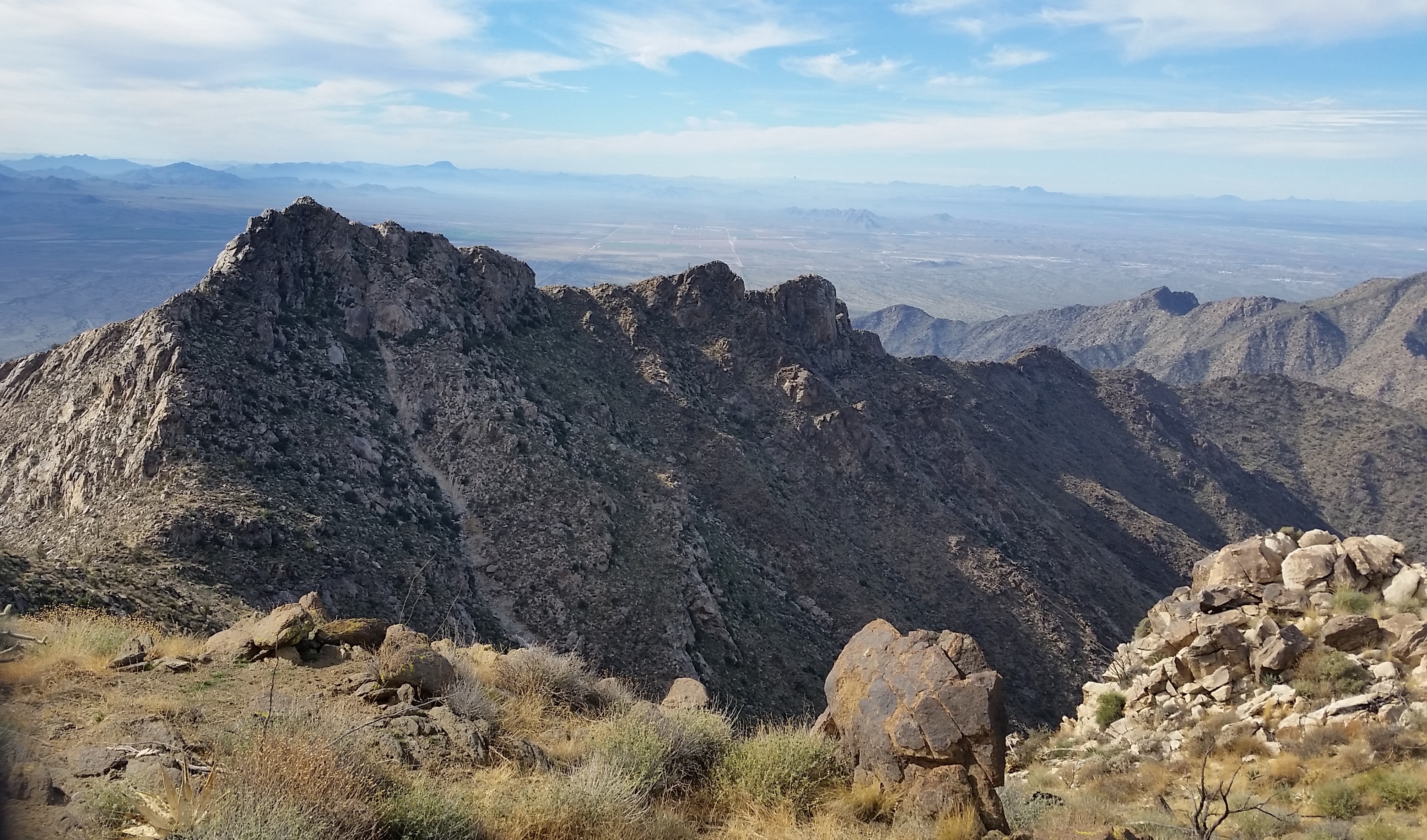
20150118_135743b
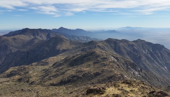
Ridge to southwest of Hayes Peak (4512 ft). Shown no-name peak stands at 4232 ft

Hauling butt I got to the point where I popped out onto the ridge in just 2 hours. I bombed back down the wash to catch my friends. About 1/3 of the way down, I was surprised to find them so soon! They were taking their time, being very meticulous and calculated about their route (and for good reason). We, the 3 amigos, traversed the rest of the wash back down the same route to the truck with the sun setting in front of us. Another end to a good hike! The only obstacle left was to drive the slow eight miles back to Riggs road and on home. Using a weekend to spend time in the mountains with good friends…nothing can be better!

  • Sliver Moon hanging above the Estrellas morning of the hike
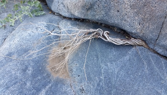
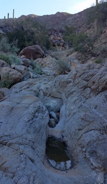
  • Water in the desert!!!

HIKE INFO: http://peakbagger.com/climber/ascent.aspx?aid=298864

HIKE STATS:

  • Weather: Hi upper 70s, Low in the lower 50s, Sunny
  • Water: 2.0 liters
  • Food: 2 Clif Bars, 1 Clif Builders bar, 1 Nature Valley peanut butter granola Bar
  • Time: 11 hours (took our time getting down safe)
  • Distance: approx 6 Miles Round Trip

GEAR:

  • Mule Camelback backpack (3 liter bladder)

CLOTHING:

  • Smart wool 195 long sleeve shirt
  • Cotton Handkerchief
  • Patagonia Pants
  • Merrell Mid Moab Hiking Boots
  • Smart wool medium weight sox and liners
  • Giro Mountain Biking Gloves
Share

Mount Wrightson and Josephine Peak in Southern AZ (1.10.15)

Share
20150110_120245
View South towards Mexico at Baldy Saddle (click to enlarge)

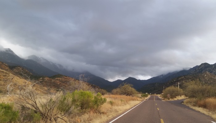
In a last minute decision I found myself driving south of Tucson AZ towards Mount Wrightson (9453 feet) with intentions of a first time peak bagging and checking out the surrounding area. Let me tell you there was no disappointment or lack of incredible views on this hike! Driving up into the Madera Canyon (where the trailhead is located) is a treat in and of itself. This microclimate has lush green trees and killer mountain views; nothing you would assume is in the middle of a desert in Southern Arizona!

20150110_093542
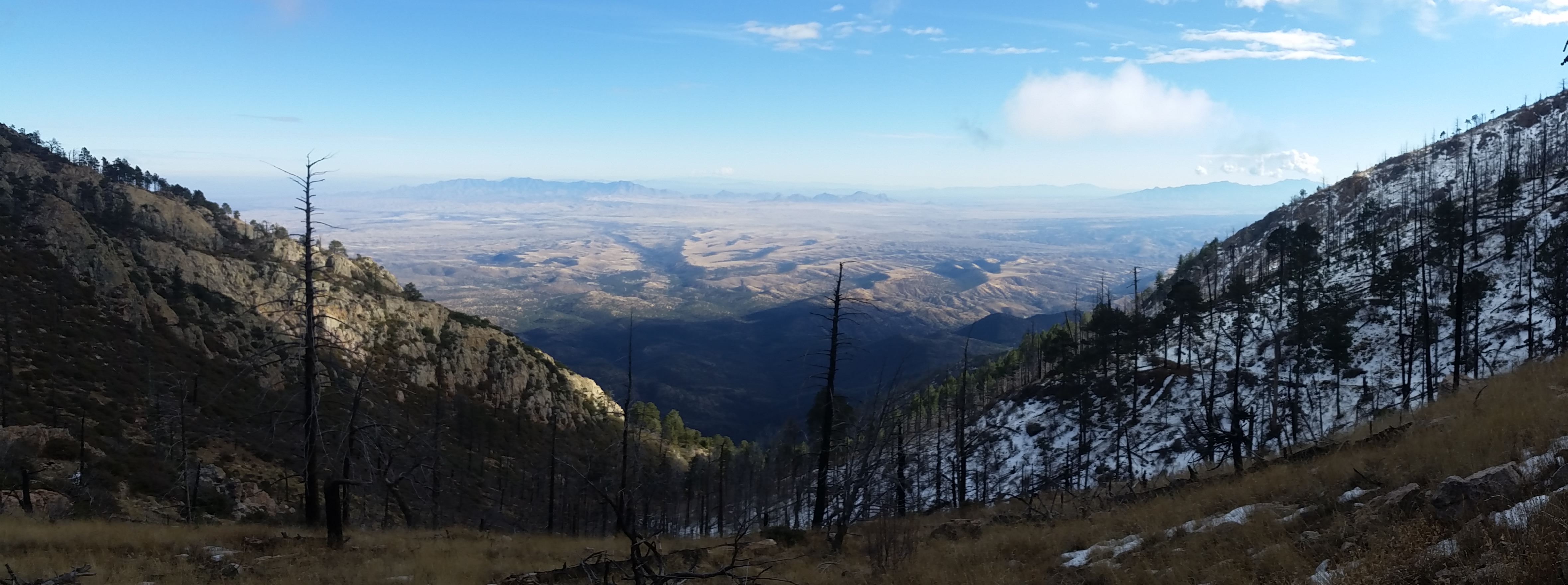
Views on the drive up

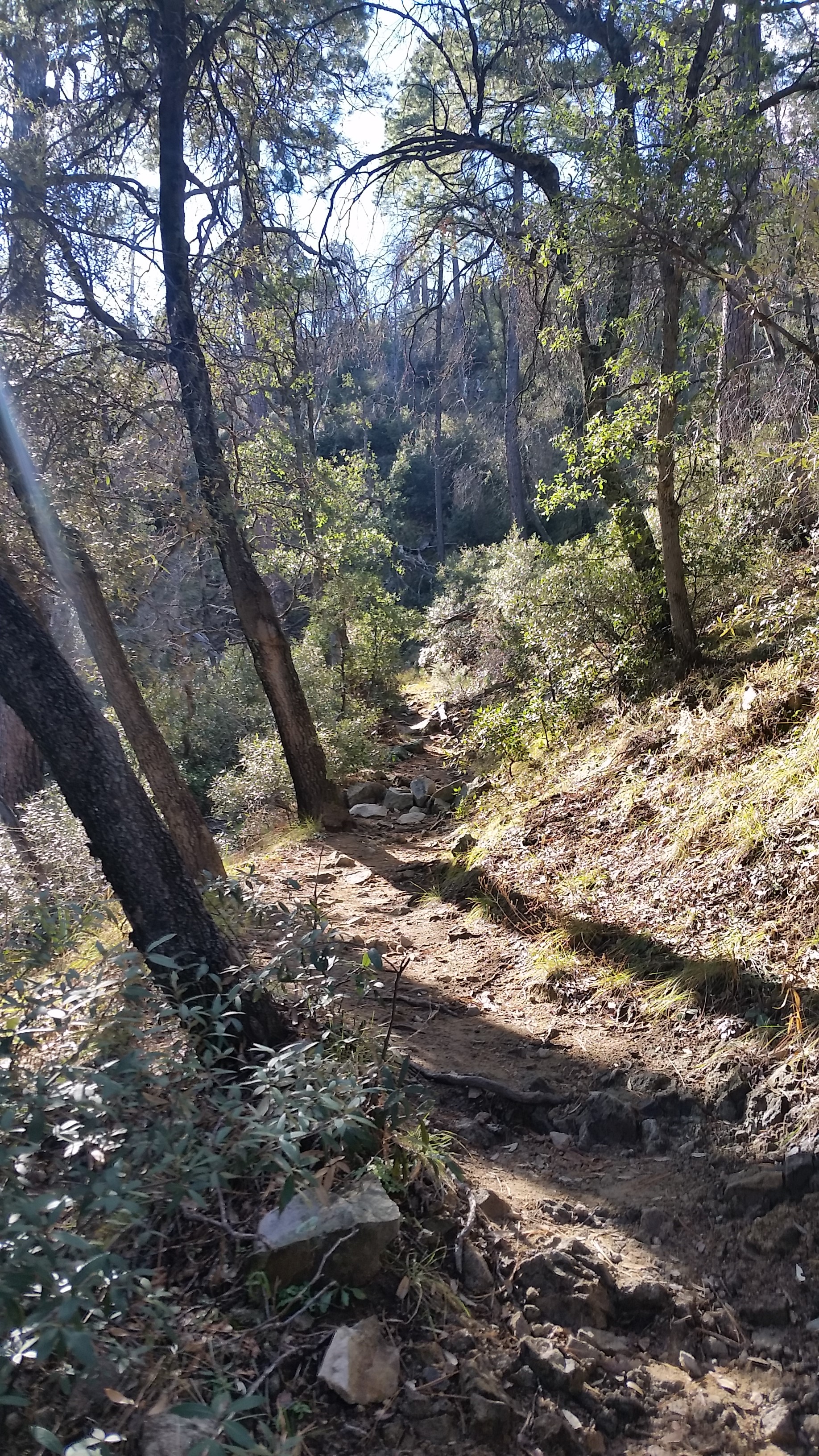
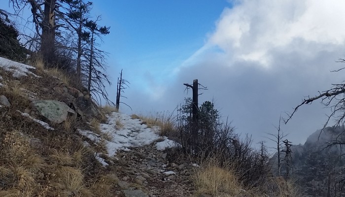
I pulled up to the trailhead, got my stuff together, and let out on the trail at mid morning. As I ascended the Old Baldy Trail #372 towards the peak and I was continually surprised at the density of the forest sprinkled with cacti and flowing creeks. I only saw a hand full of people on the way up which didn’t bother me; I needed a little solo trail time. There were a few small patches of snow on the consistent grade towards Josephine saddle. About a half mile after the saddle I found that the northern faced trail was covered in packed snow turned ice and I knew I was in for a slipping and sliding.

20150110_102712
Heading up towards Josephine Saddle

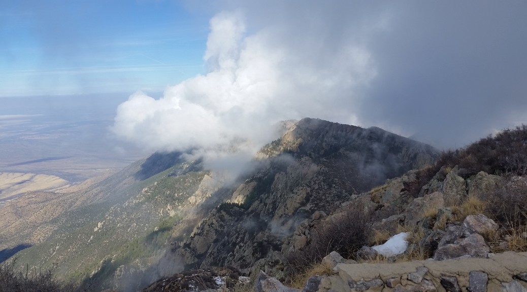
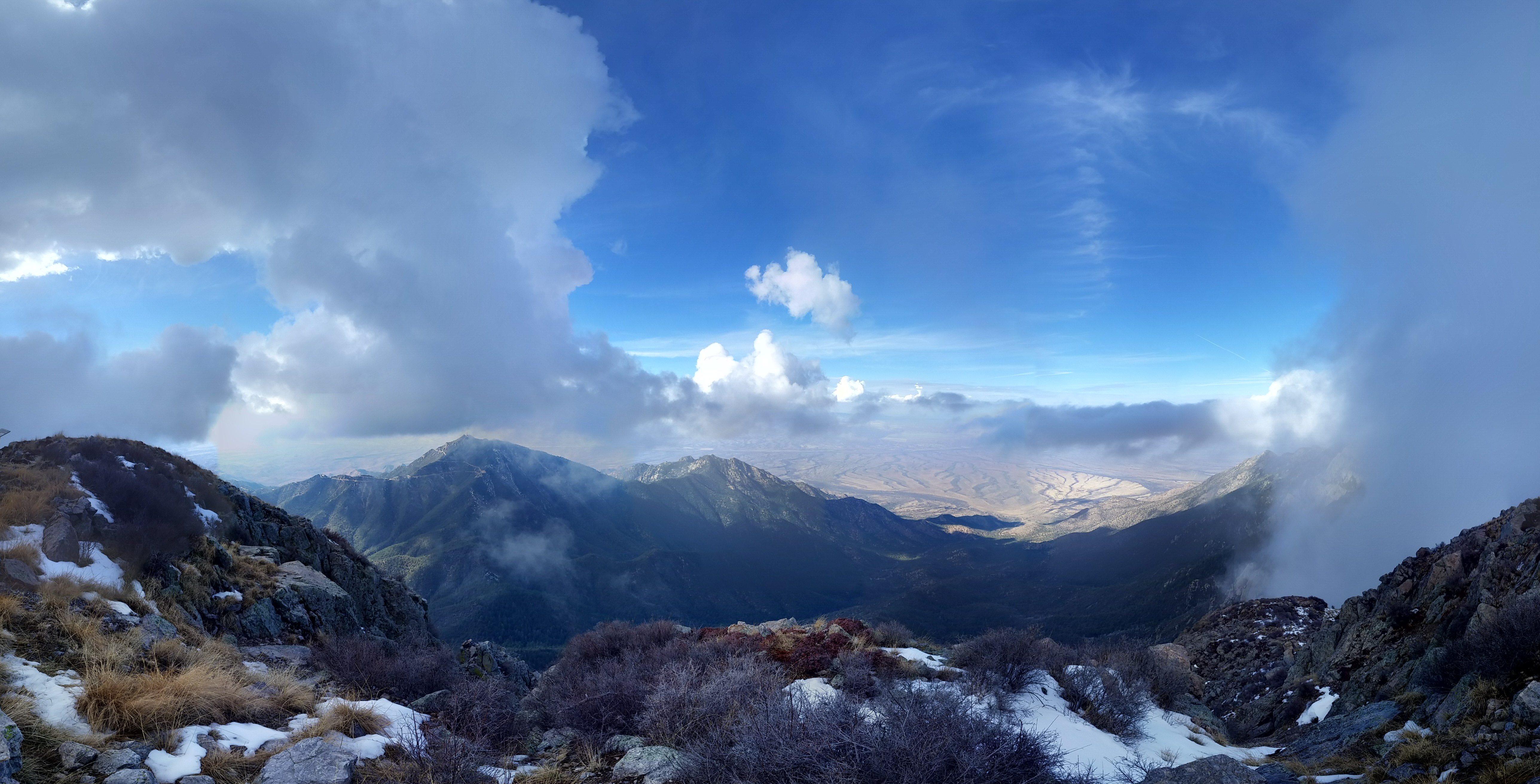
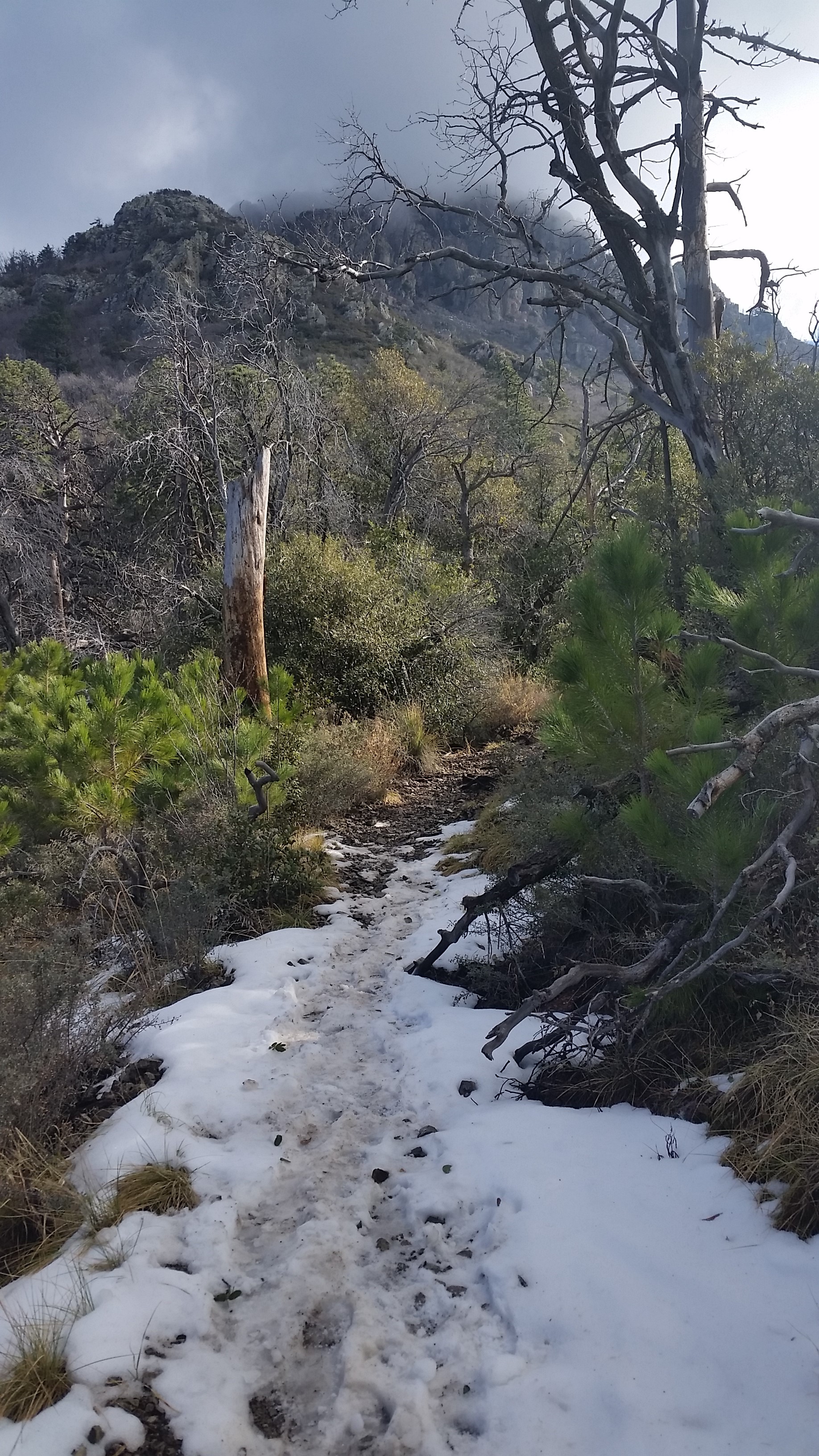
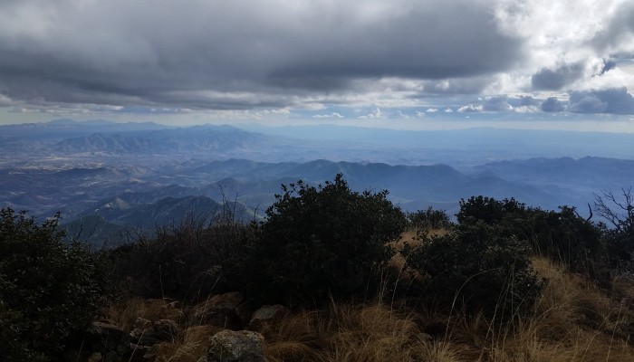
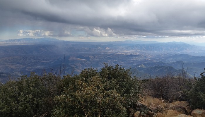
I continued to ascend the 4000 foot climb and I astounded by the changes in rocks, plants, and opening of expanded views of the desert floor below. The snow persisted all the way to the peak, and so did the incredible views. It was everything I could do to stop taking pictures and keep moving. The peak was engulfed by a low hanging cloud and despite my hopes that it would burn off the cloud lingered only clearing out 30% of the 360 view only for a few brief seconds.

20150110_130954
One of the few clear views from the peak (click to enlarge)

On the way down I decided to take the Super Trail #134 and attempt to do a small side trip on Josephine Peak Trail to bag Josephine summit (8474 feet) that I noticed on the trailhead map. Let’s just say this “Josephine Peak Trail” was nonexistent. This bushwhack, sketchy (reminiscent of Browns Peak (Four Peaks in the Tonto National Forest)) loose up climbs (in 2 small sections), unmarked, and unclear “trail” lead me along a ridge to the summit. I maybe over exaggerating the toughness of this “trail”, but I was definitely surprised that it was posted on the trailhead map. At any rate, I peaked out, signed the registry, took in the views, and headed back towards the Super Trail.

20150110_153753
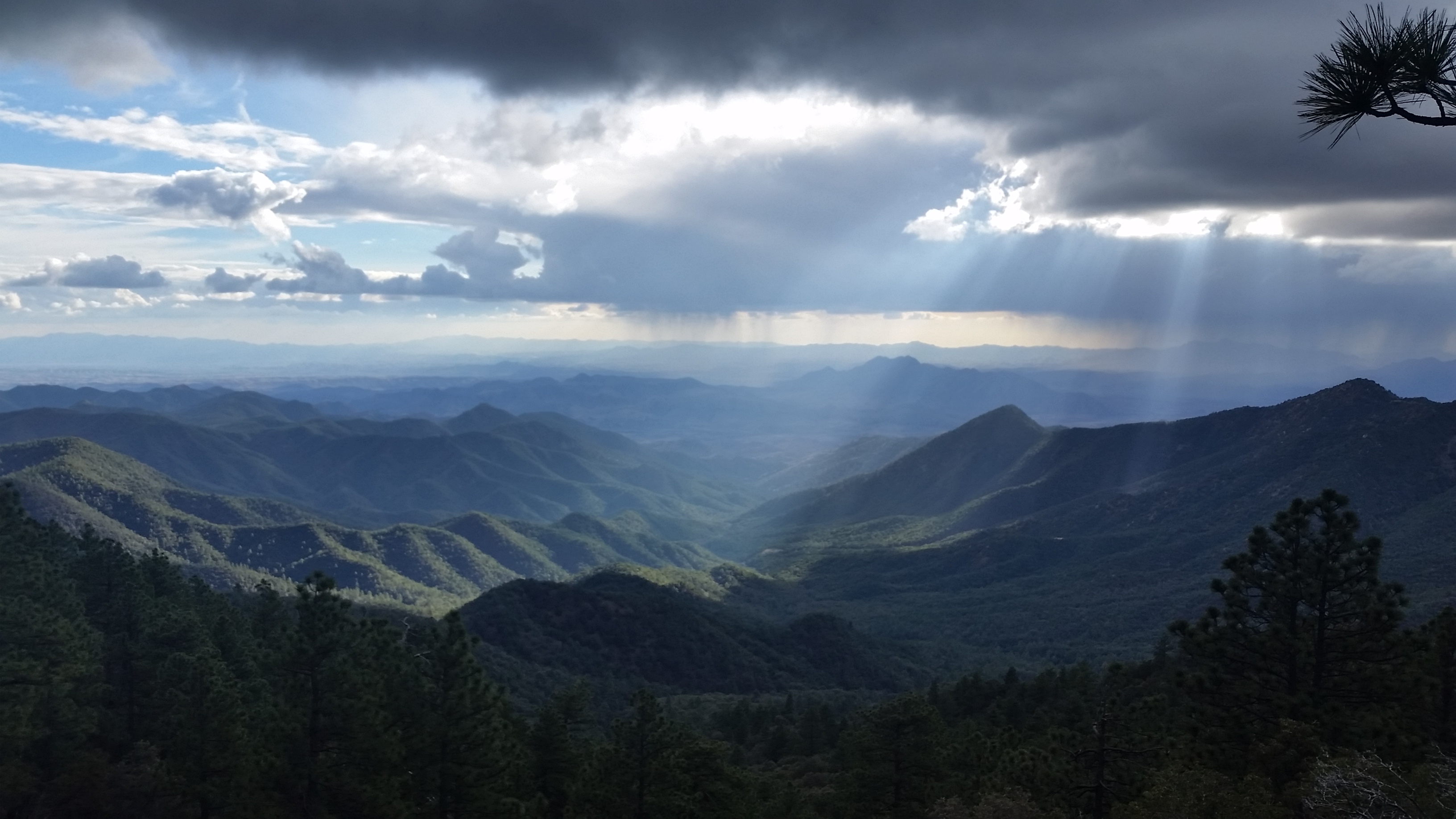
Let there be light (click to enlarge)

I tied back into the Old Baldy Trail and headed back down. As I did, a mean dark cloud moved in and blessed me with some light hail, and as I descended (quickly) some cold rain. Despite the weather being what it was I was still really enjoyed all the mountain ridges, canyons, streams, flora, fauna, and just everything that the trail had to offer. This is one gorgeous trail, and it was just what I needed that day to get grounded and get my head clear. Another awesome day on the trail!

  • Valley below
  • Ascending Old Baldy Trail

Hike Info: http://hikearizona.com/decoder.php?ZTN=158 (Mount Wrightson peak)

I added the Super Trail and Josephine peak as seen in the map in the slider pictures for some bonus miles.

HIKE STATS:

  • Weather: Hi upper 60s, Low in the lower 40s, Overcast / Sunny/Hail and Rain (quite a mix)
  • Water: 1.5 liters
  • Food: 2 Clif Bars, 1 Clif Builders bar, 1 Nature Valley peanut butter granola Bar, Pringles
  • Time: 6.5 hours
  • Distance: 11.2 Miles Round Trip

GEAR:

  • Mule Camelback backpack (3 liter bladder)
  • Black Diamond trekking poles

CLOTHING:

  • Smart wool 195 long sleeve shirt
  • Smart wool beanie cap
  • Patagonia Pants
  • Arcteryx Mid Layer Hoody
  • Merrell Mid Moab Hiking Boots
  • Smart wool medium weight sox and liners
  • Giro Mountain Biking Gloves
Share

Crabtree Falls – Va (11.27.14)

Share
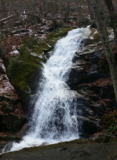
20141128_111040
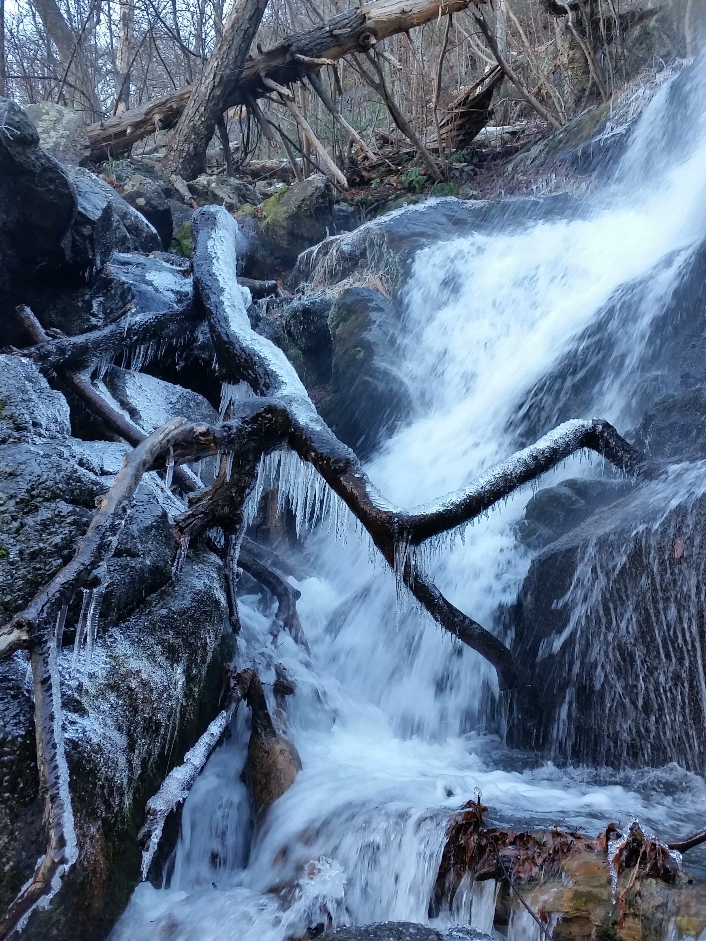
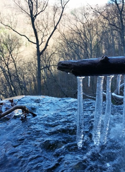
Icy Falls

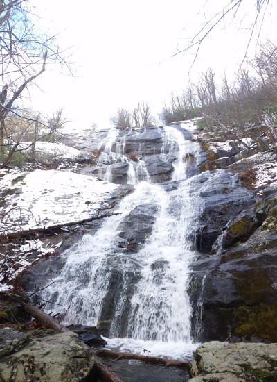
It was cold in the morning when I pulled up to the trailhead, my breath spilled out as smoke in the crisp air. I climb the falls as a Thanksgiving tradition every year that I visit the area. This year would be the first time I approached the trail as a somewhat seasoned hiker. The trek was a 2 mile one way, and I couldn’t wait to get my feet on the trail and see the falls cascading down the mountain the entire hike.

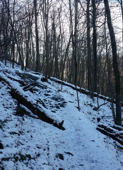
20141128_114431
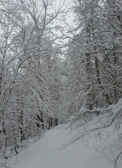
Hello snow!

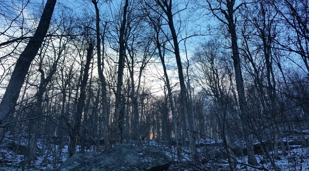
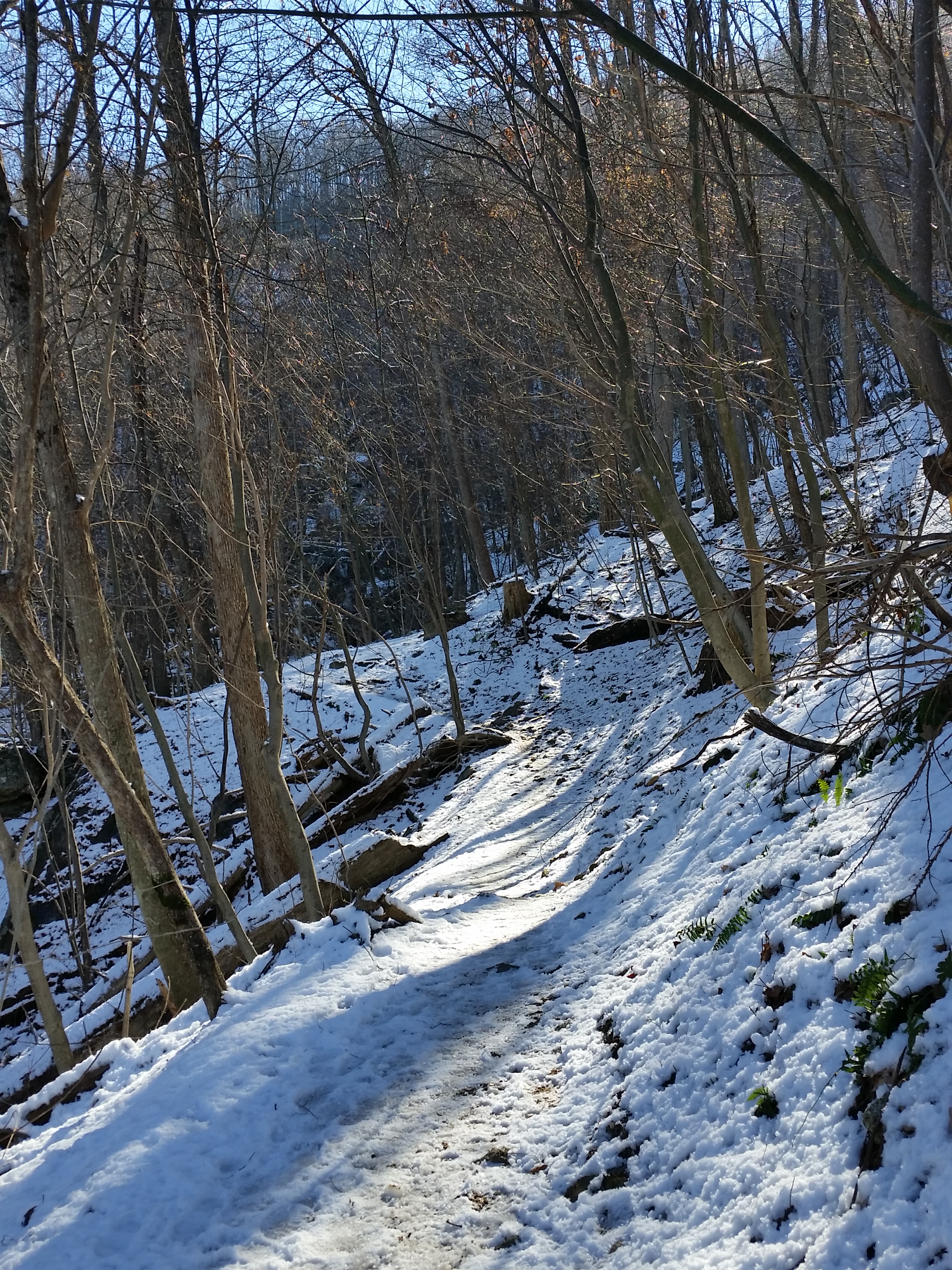
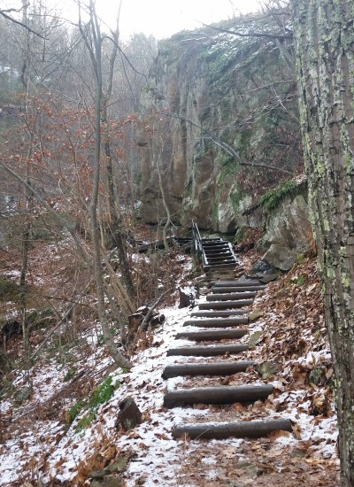
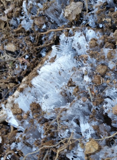
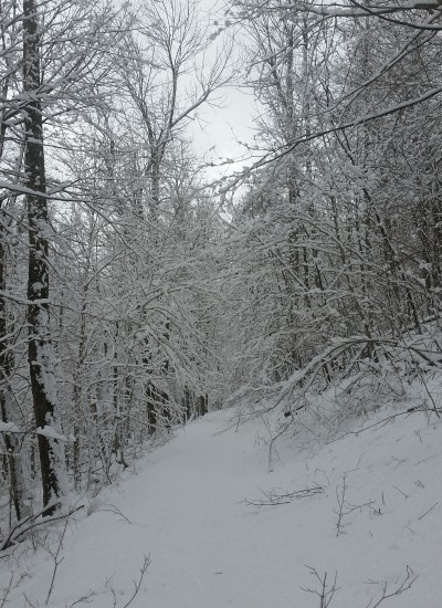
Gloves on and hoody up, I started walking. At the trailhead there was no snow on the ground, but as I climbed the 1500 foot mountain side it wasn’t long before I encountered a nice thick layer of packed snow blanketing everything. The falls had ice lining the edges of the rocks and the trees surrounding the frigid waters. There were not that many people on the trail that morning, and I ground down the first portion of the hike quickly, pausing only briefly to snap pictures of the breathtaking scenery along the way.
20141127_121433
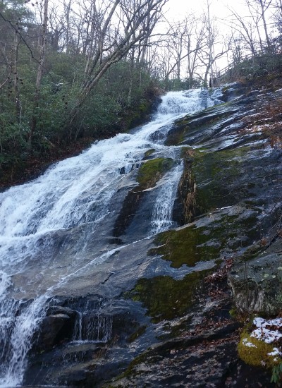
Views from the Upper Falls (click to enlarge)

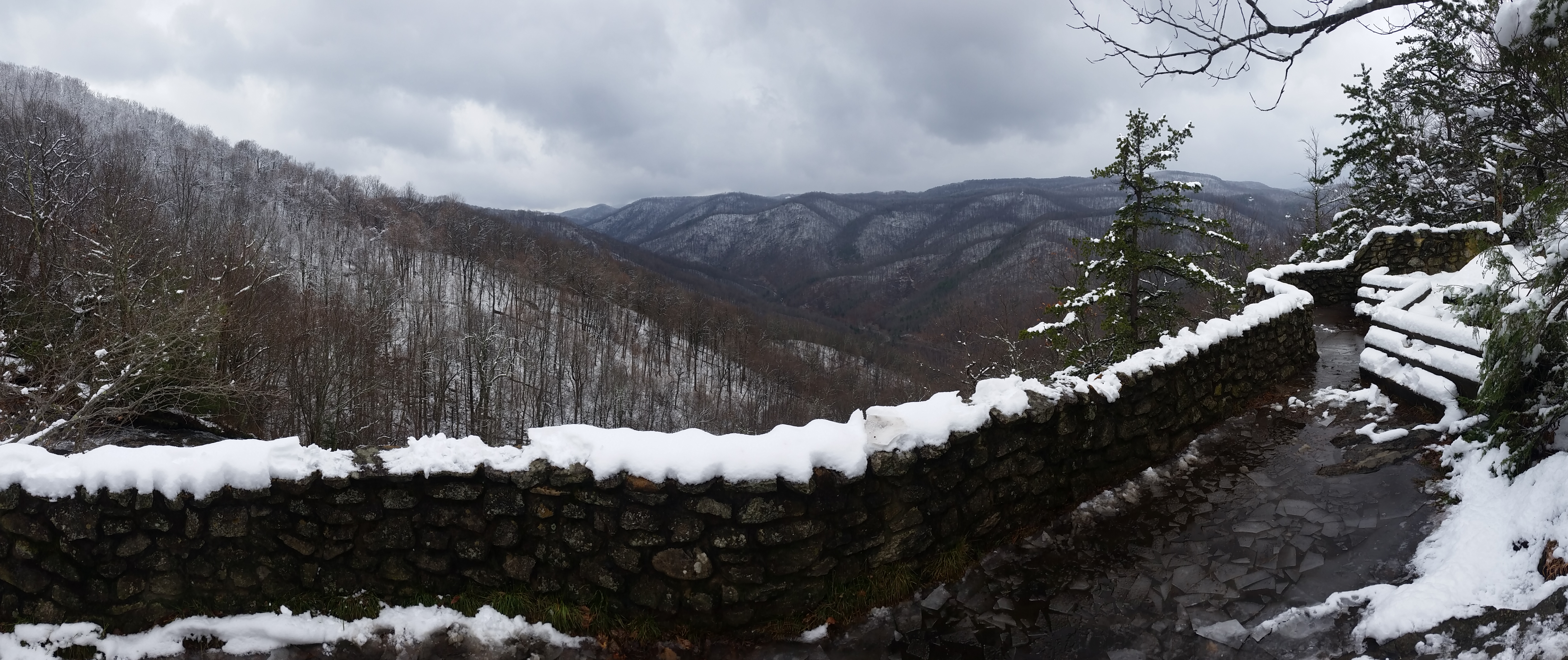
I finally reached the upper falls and was smacked in the face with a wide view of the surrounding snow dusted mountain ridges. Most people turn at the upper falls and head back down, so I was happy to see the trail that went further up paralleling the Crabtree Fall creek had an unbroken layer of snow on it. I trekked on enjoying the peaceful stillness of the snow saturated woods around me. I was only ¼ from the end of my trek before I saw something that stopped me in my tracks.

20141127_124146
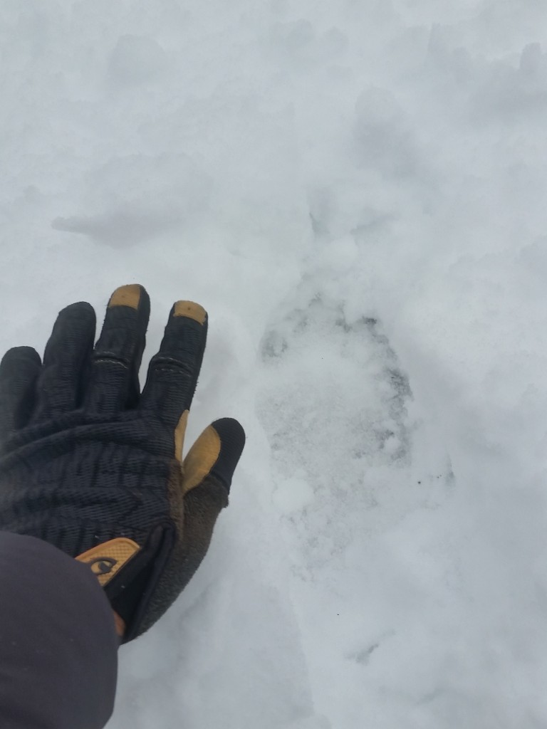
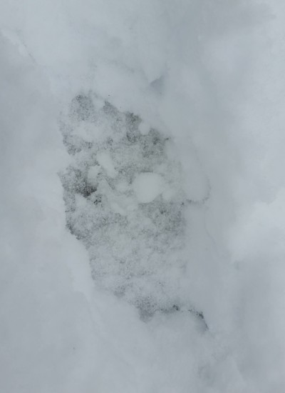
Hello black bear

I came across footprints that came off the hillside and lead to the creek. At closer inspection I found that they were unmistakably bear tracks! The tracks were about the size of my foot with some nice claws impressions protruding from the pad. I instantly looked up and scanned my surrounding looking for the creature that made these tracks. The beast was nowhere to be found (to my relief!). I snapped some quick pictures of the tracks and did a U-turn heading back towards the trailhead. The entire time I trekked back along the creek I scanned the creek edge, behind my back, and in front of me always expecting to see a large black figure in full stride heading for me. Fortunately I made it back to the trailhead without one of these chance encounters. Another great, unforgettable outdoor experience!

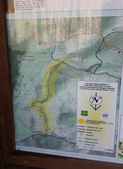
  • Map at Trailhead

Hike Info: http://www.hikingupward.com/GWNF/CrabtreeFalls/

Share

Mount Union + Mount Davis – Prescott AZ Snow Hike (1.1.15)

Share
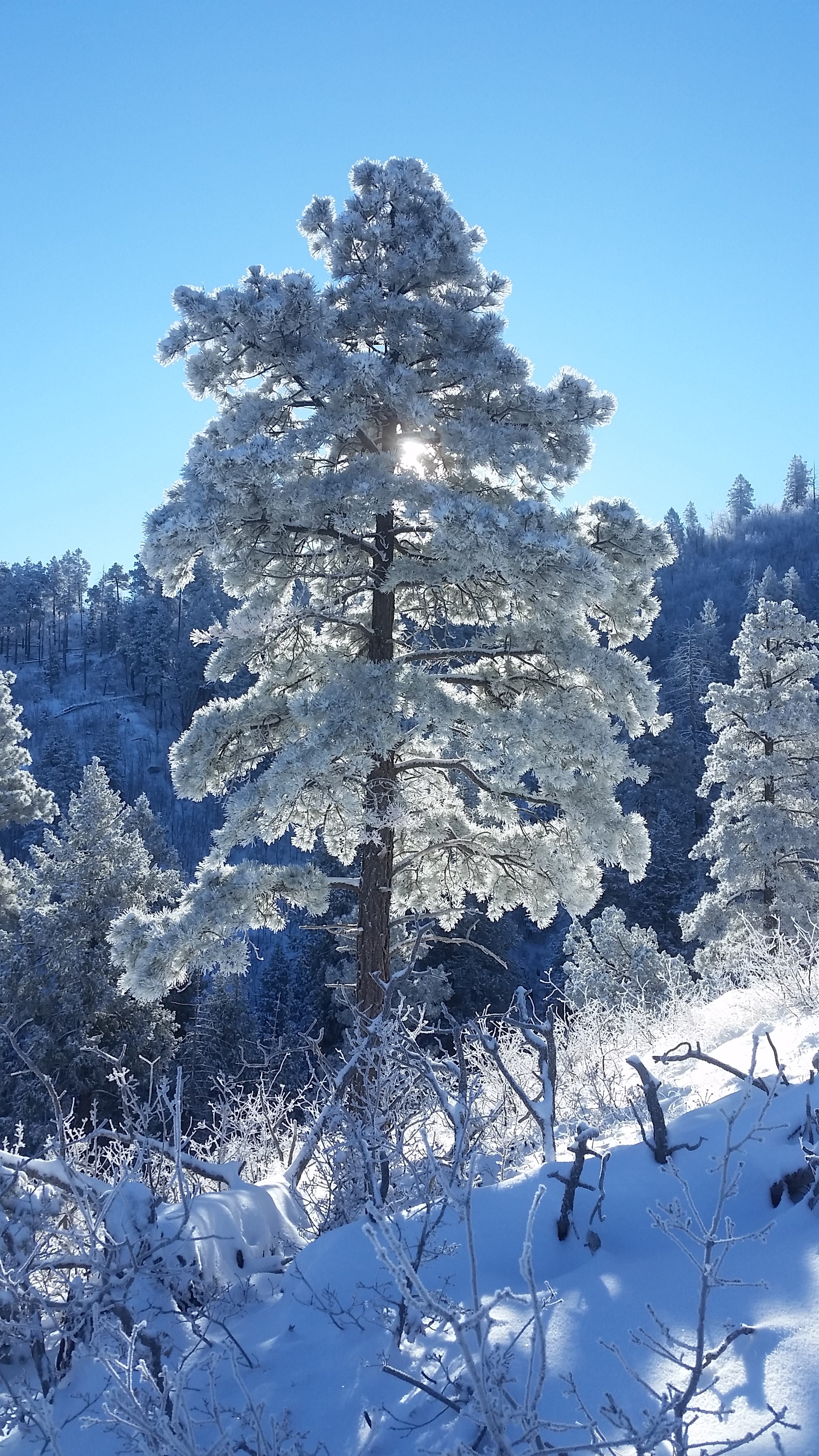
20150101_094026
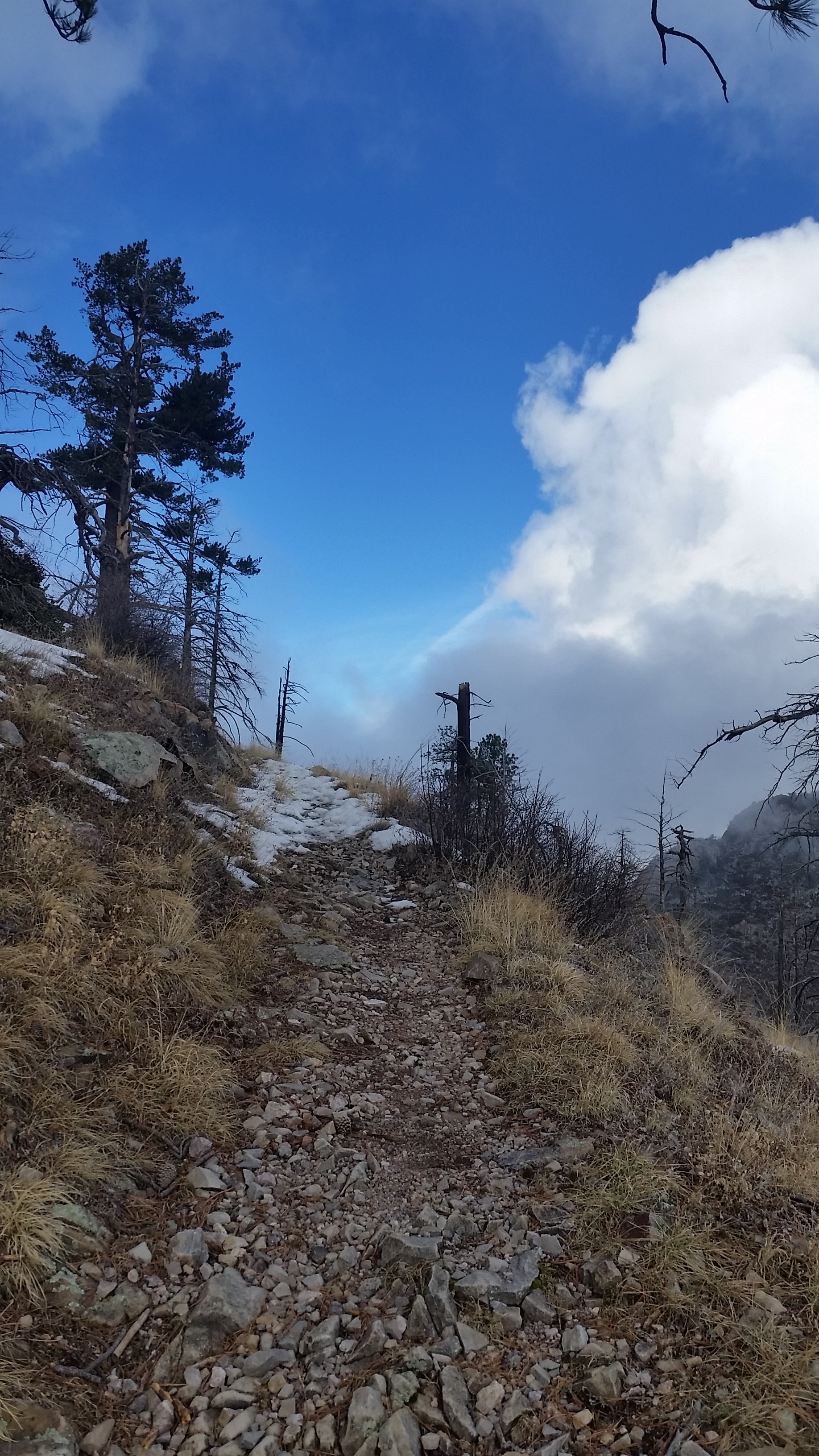
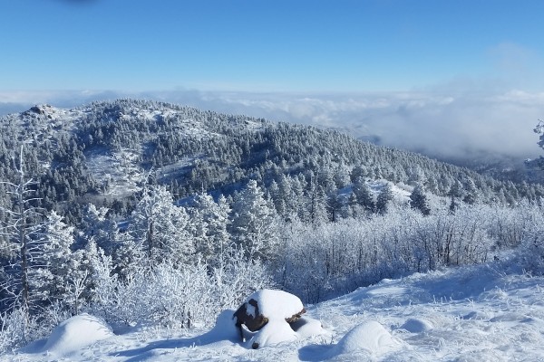
Large Evergreen on the Ridge to Mount Union

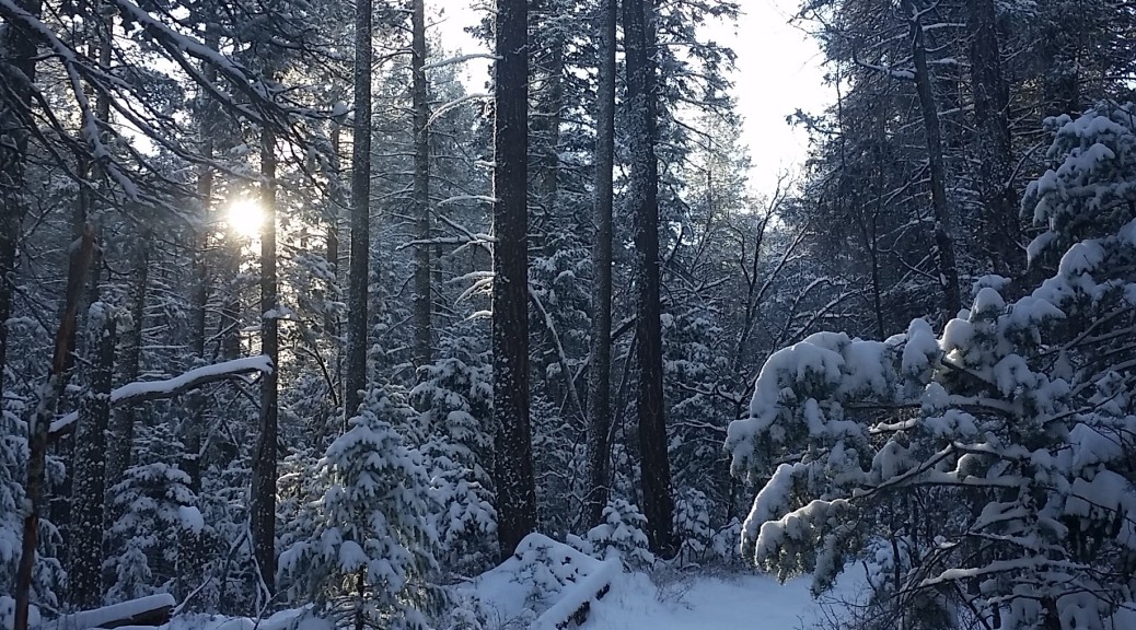
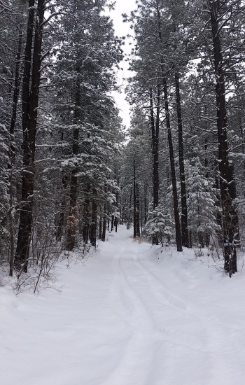
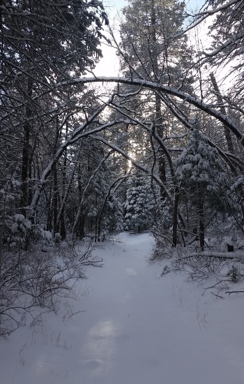
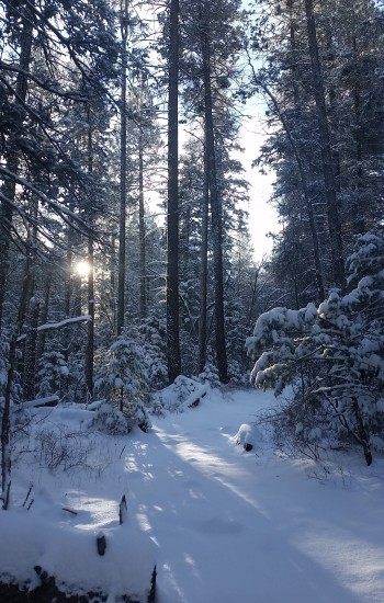
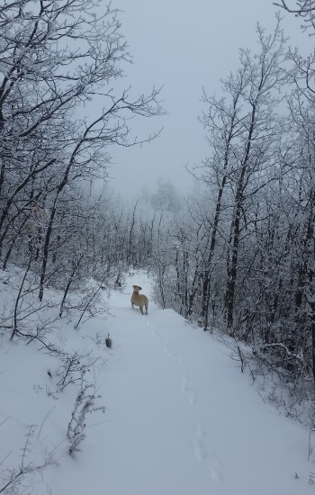
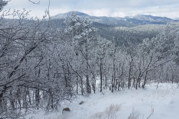
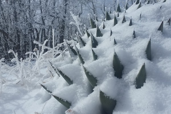
We stepped out onto the chilly snow covered porch on the lodge, all bundled up and ready to face temperatures in the teens with twelve inches of snow on the ground. I had the opportunity to join a small group of friends up in Prescott, AZ for a New Year’s celebration the right way…on a snow covered trail. We planned on walking from the lodge on and off snow covered trail to bag Mount Union and Mount Davis before returning in the early afternoon for a hearty lunch to replenish our batteries. My first (intentional) true snow hike, it was one to remember!

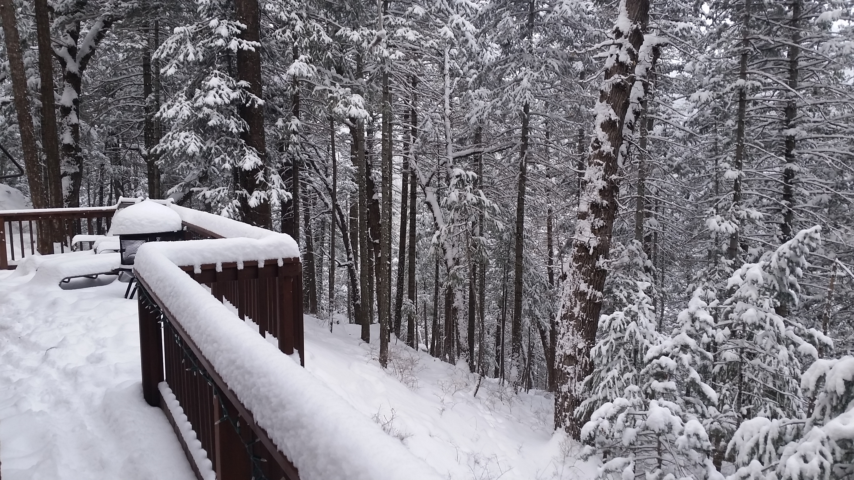
20150101_082823
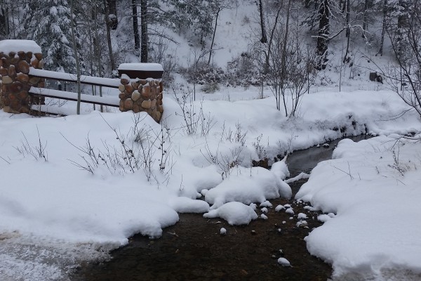
View from the back porch of the lodge

I borrowed a pair of waterproof boots, which saved my feet from becoming cold, wet, and possibly driving me to hypothermia (thank you Peter for the boots, you’re the man!). We set out early that morning, I had no idea what to expect. I had been in snow once or twice before, but nothing this deep and nothing with the temps we were going to see. I was not disappointed!

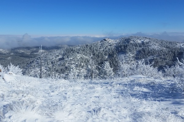
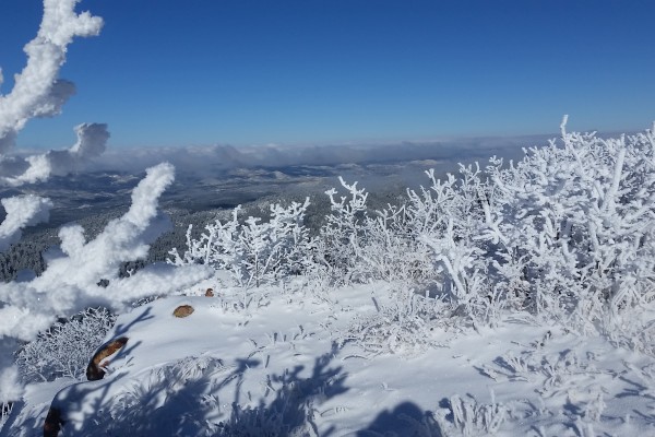
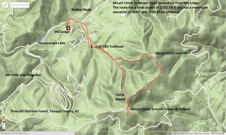
We carved through the snow across the trails and up the ridge to Mount Union, where the unguarded peaks whipped wind and snow at us. The white out conditions came and went and, given the right moment, we could glimpse the beautiful landscape surrounding the mountains. We pushed to the towers and the help pad just to check it out and put it in the bag.

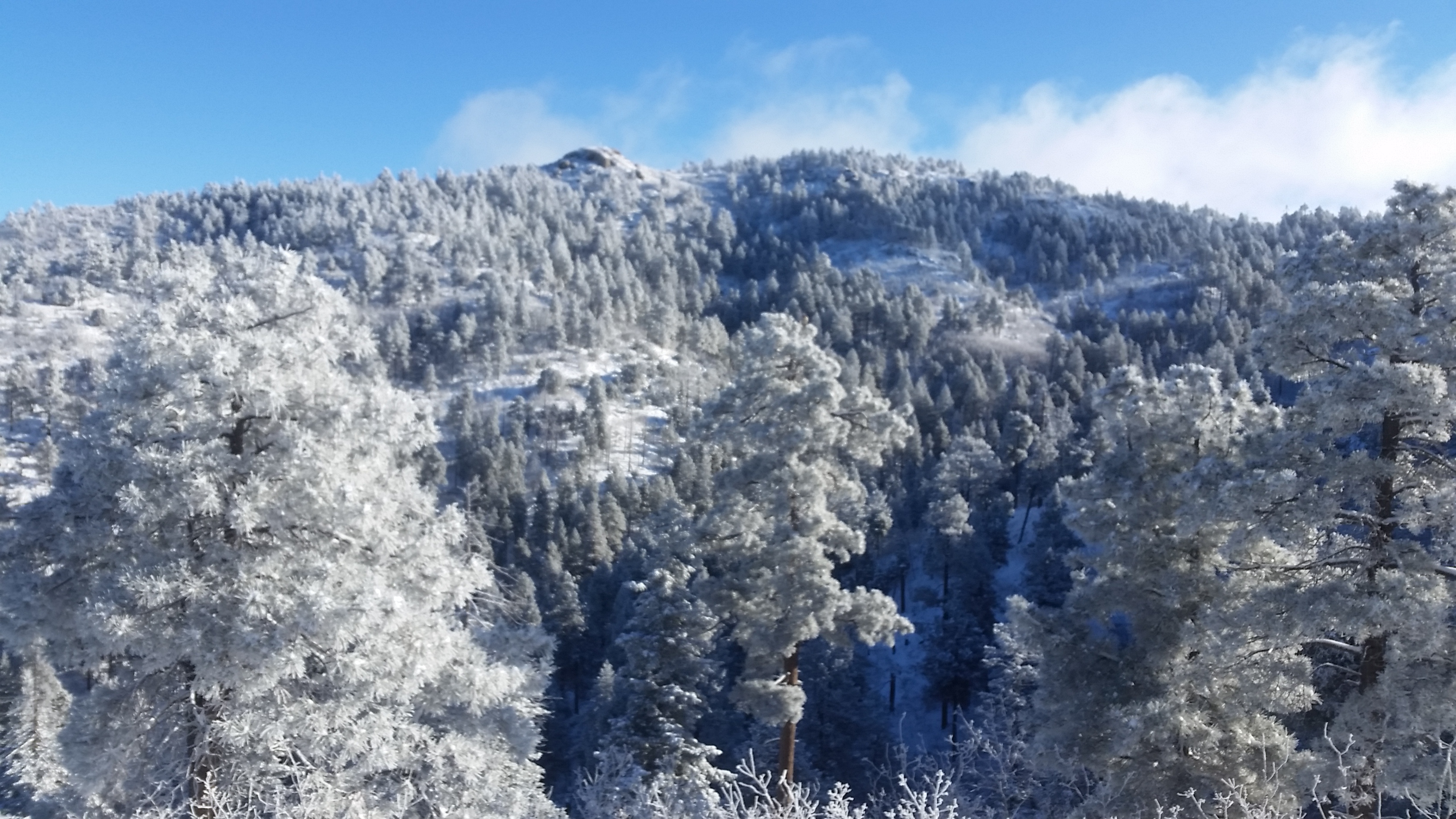
20150101_094039
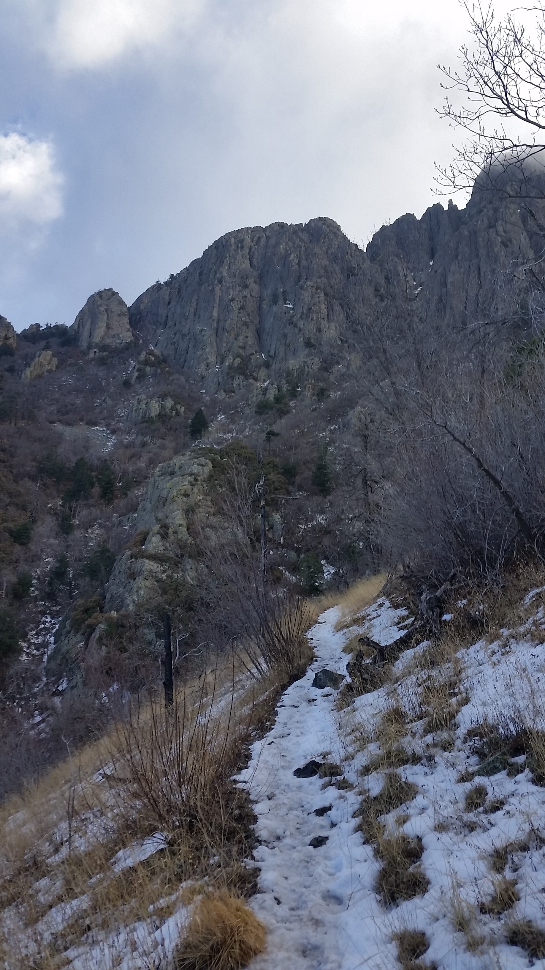
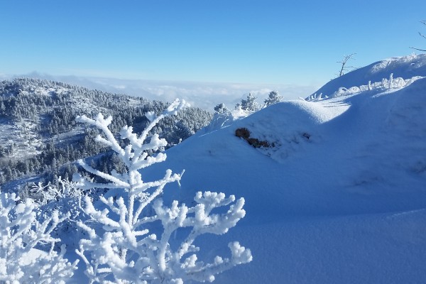
View of Mount Davis from Ridge to Mount Union

From there we dropped back down the saddle and headed for Mount Davis. Another off trail push brought us to the rocky nipple of Mount Davis jetting out from the snowy tree covered landscape. Snapping pics and quickly signing the registry, we took a short rock climb down the ridge that would lead us back to the trail and eventually the lodge.

Once we were back, we all mashed down on grub like demons! We made homemade stir fry on the fly and a Korean style soup that really hit the spot given the winter weather beating at the lodge door. What another awesome trek! My first true snow hike: lesson learned, the right gear (waterproof boots) make all the difference!

  • Gorgeous snow
  • Heading down the ridge from Mount Davis back towards the lodge

Hike Info:

GPS, shaded topo route for the hike
Share