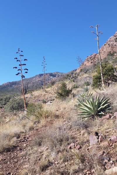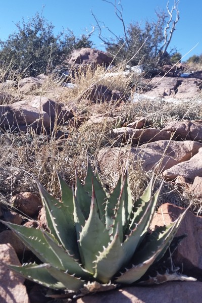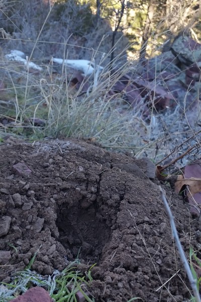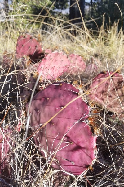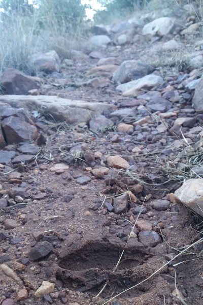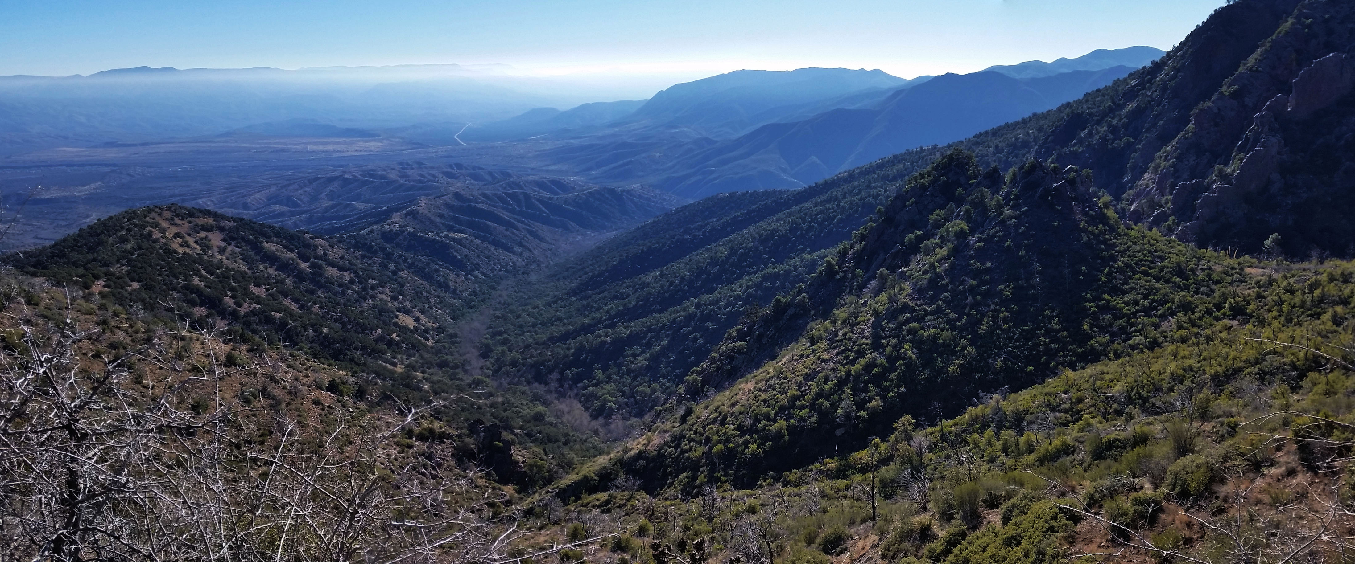
Mazatzal (MAH-zaht-ZAL, locally Ma-ta-ZEL)- the origin of the name remains obscure but one possibility is that it is from the Aztec language meaning “place of the deer”. I saw tons of deer prints out there, but I think it should be “place of the Manzanita”! Talk about a plant thriving and on a mountain, there are 2 things I know about Manzanita 1) it is a very interesting looking plant 2) it is a pain to bushwack through and it only ever gets thicker as you try to push through it!
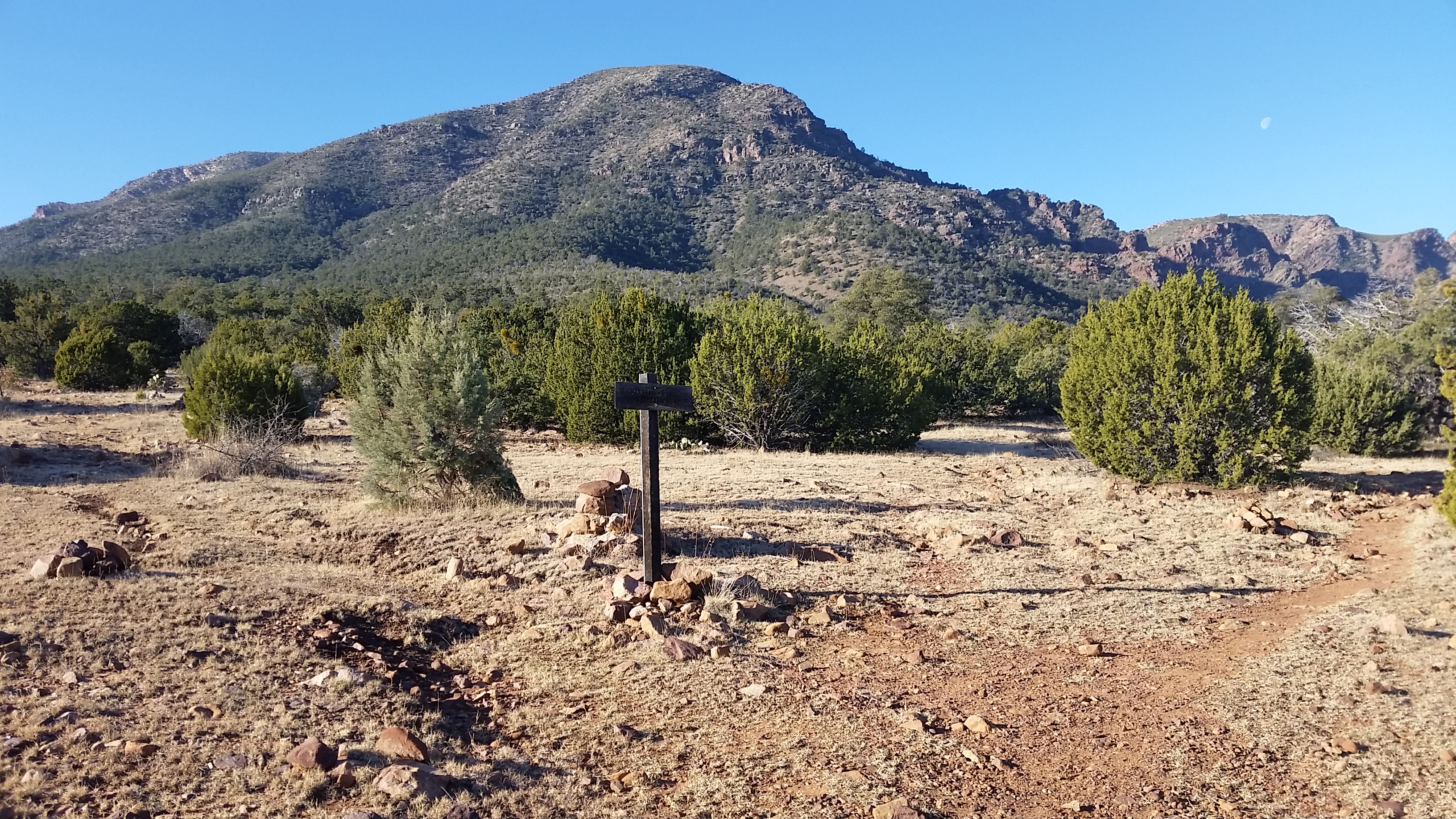
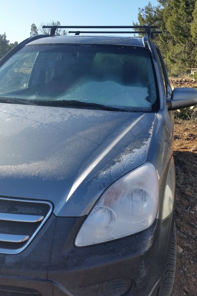
I planned on either trying a loop between Y bar trail, AZT section #22, and Barnhardt trails or taking on the peak via Y Bar trail. Either way I figured I would take on Y bar to begin with and see what time I had left in the day once I got to the saddle. Trekking solo I reached the cold trailhead with frost on the windows of the vehicles left there overnight. After getting my gear together and throwing on my pack I headed up the trail. I immediately found the split between Y bar and Barnhardt Trails, talk about a tail of 2 trails, Barhardt was padded and beat in where Y bar just looked much less traveled and chunky from the beginning. I knew I was in for a good push.
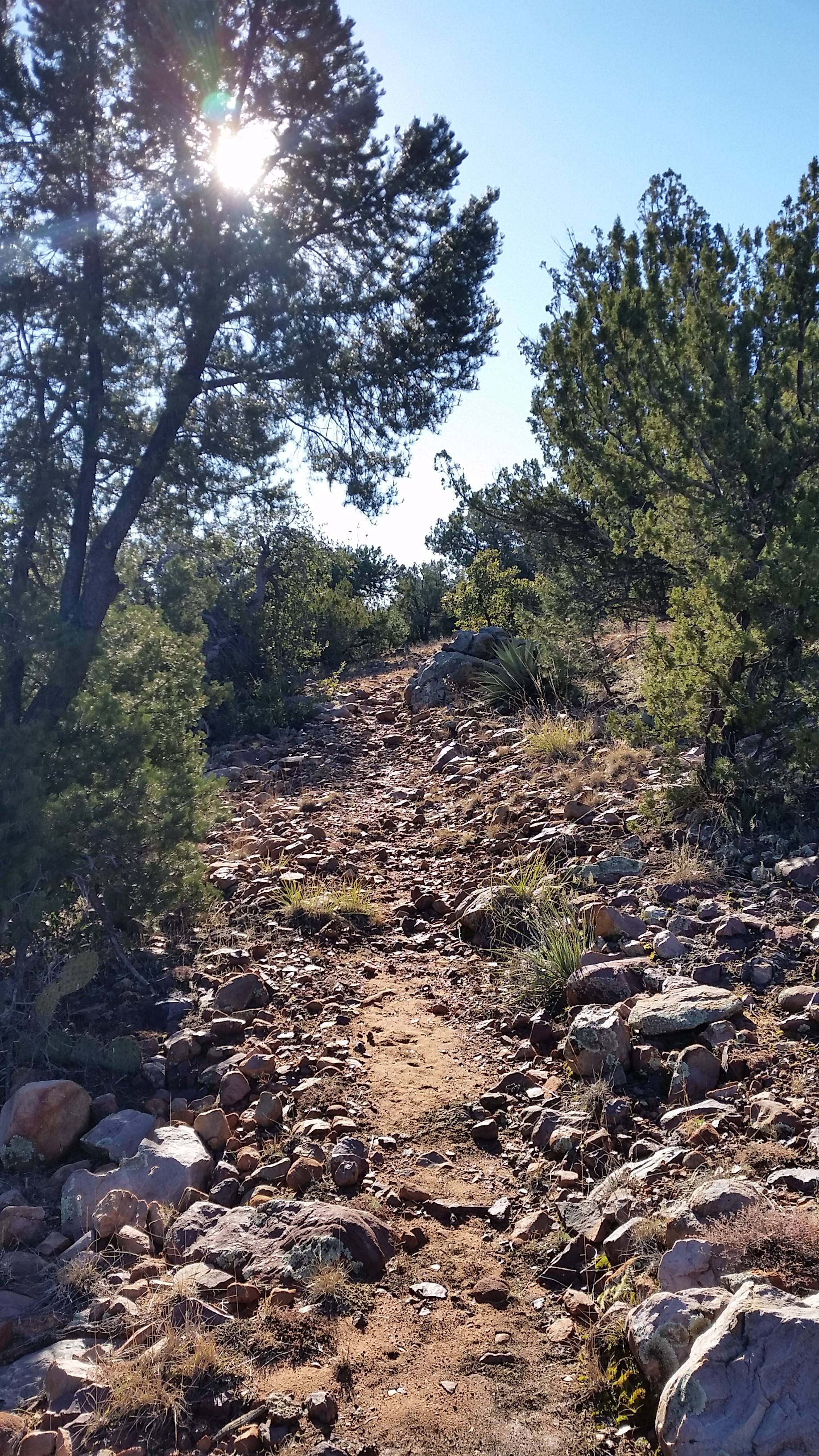
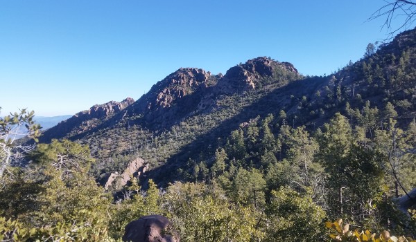
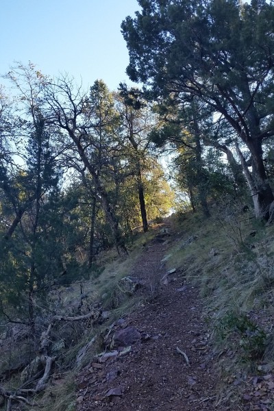
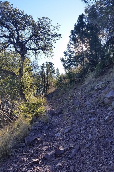
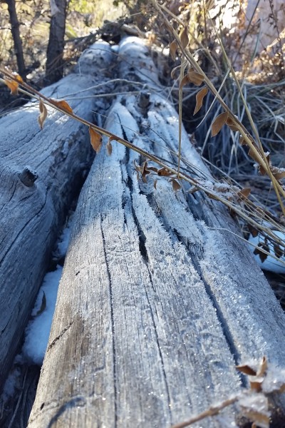
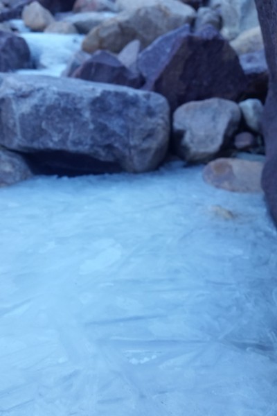
Trekking up Y Bar, as I assumed, was chunky monkey. Baby head boulders everywhere just begging for you to roll or twist an ankle. I pushed up the trail quickly trying to shake of the chill from the morning. Y Bar circles the mountain in a South to Southwest direction diving in and out of canyons. Due the sun being low the trail was sunny heading into a canyon and shaded and cool heading out. Ice was on the ground in the shaded areas and I found ice sickles in the running creeks down a few of the washes.
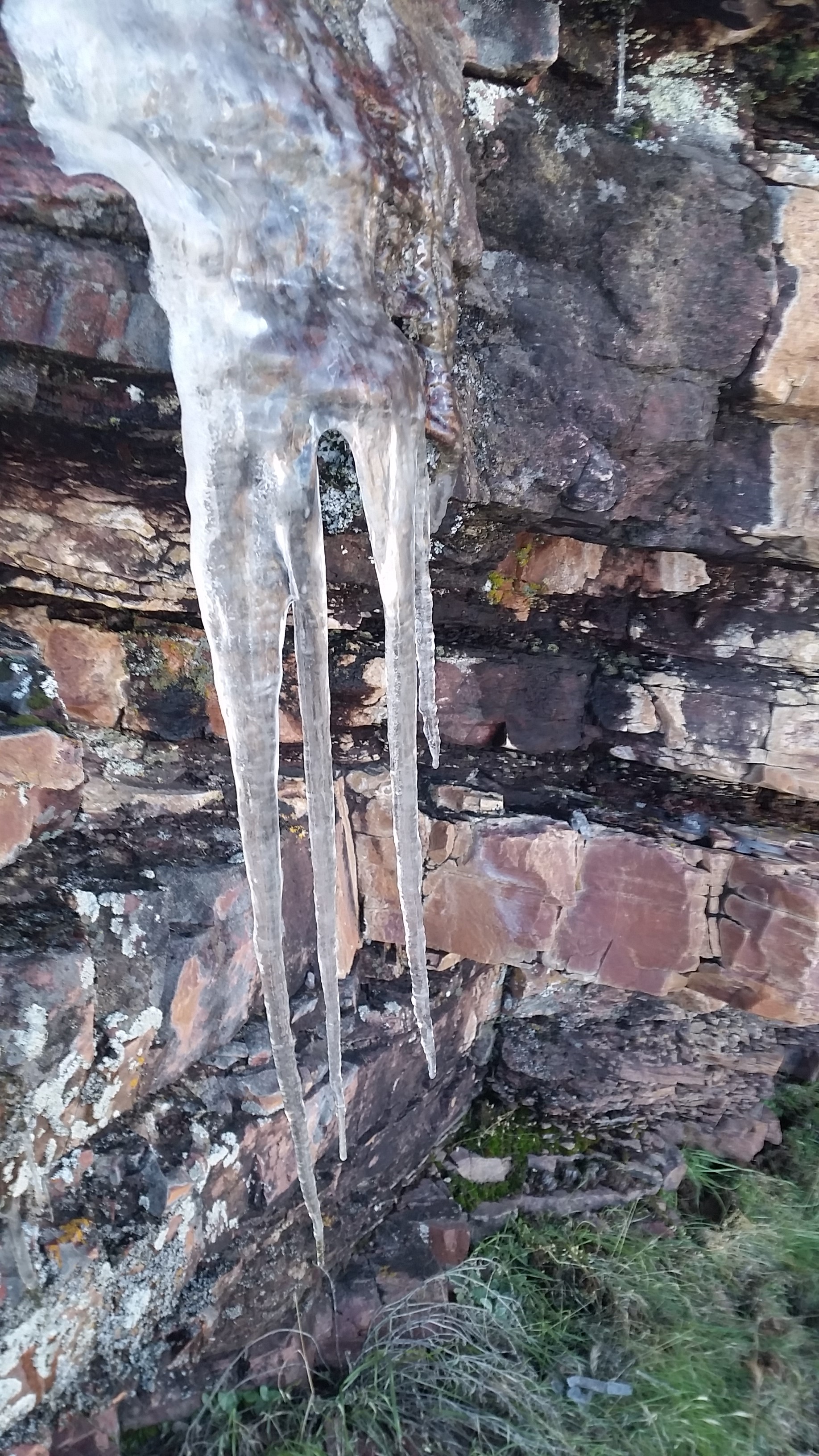
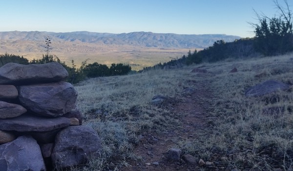
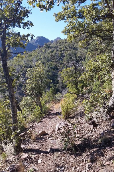
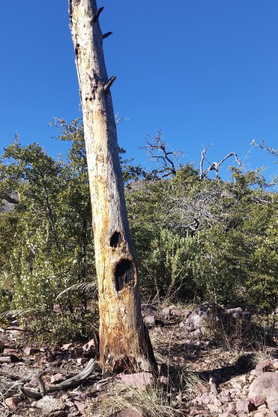
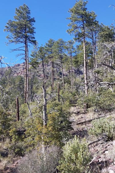
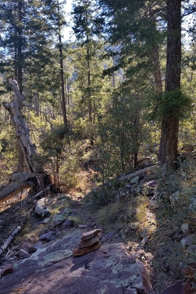
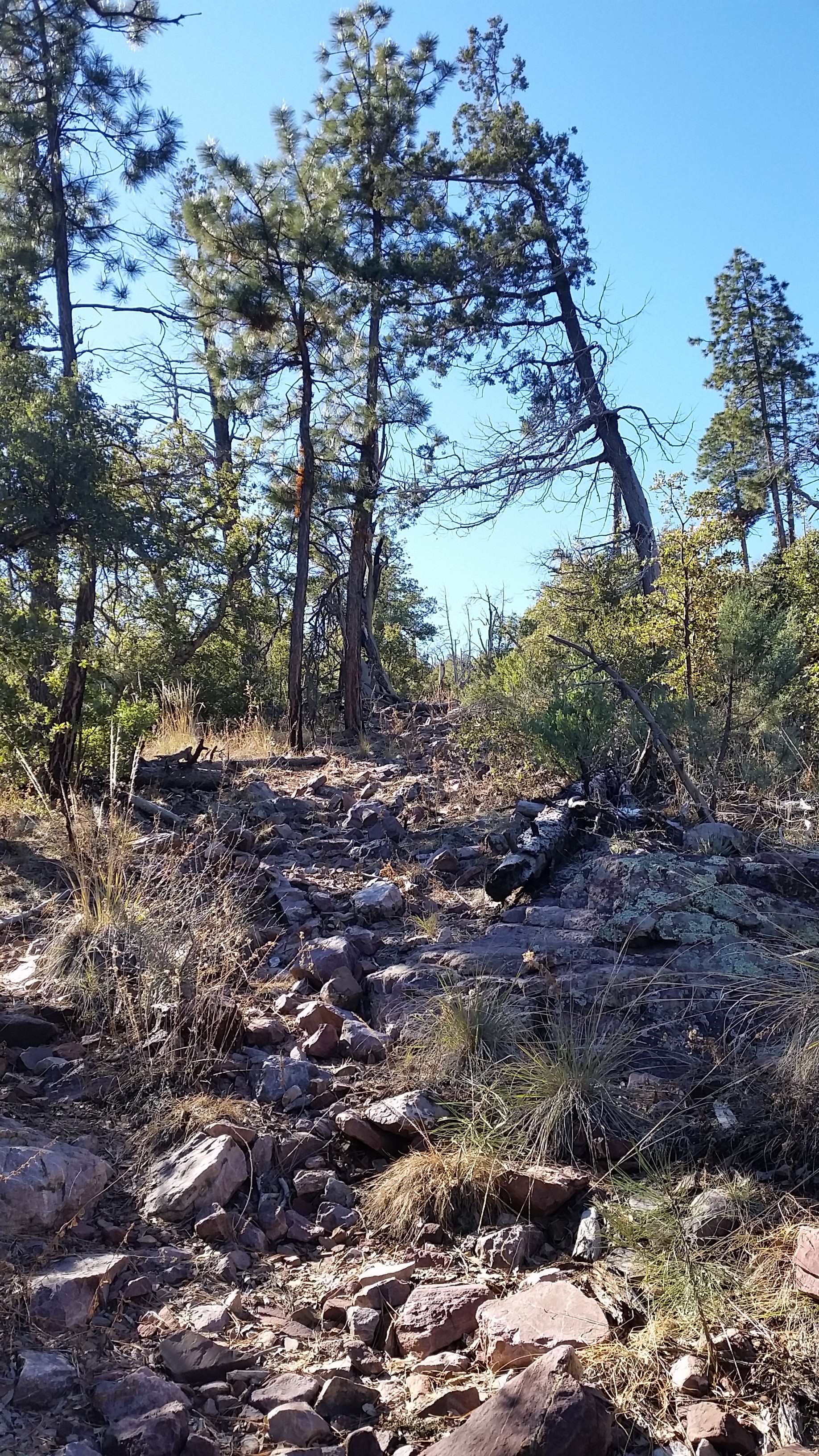
I pushed on and up knowing the time was only ever running out on completing the loop, much less bagging the peak. After a few dodges in and out of wash canyons the trail finally opened up into a westerly direction where I could see the main saddle where Y Bar tied into the AZT #22 with an option for the peak. I looked down into the valley below, what a beautiful sight to see! I kept pushing up the chunky trail to pleasantly pleased to find a small pine patch hidden on one of the washes just before the saddle. A forest fire took out many of the pines in this area but this small patch of pines shaded me for a brief moment on my trek.
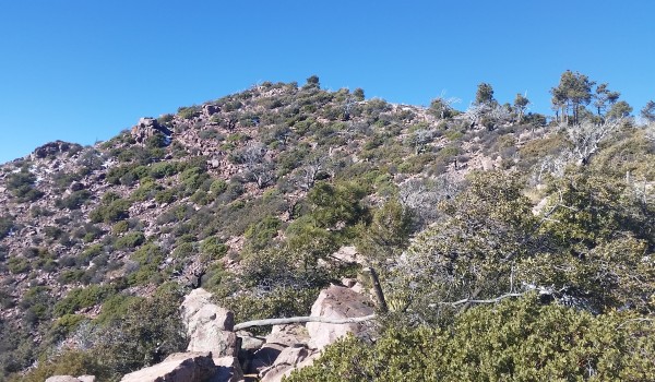
I finally reached the saddle and looked towards the peak, what a gnarly looking beast, it would have taken another 13 miles to complete my intended loop and it was already 11am (I got a late start). But it would only take me 2 miles of bushwhack round trip to the peak and a final 4 miles to get back to the truck in time before the sun set. I chose to push for the peak, try and see some of the views from the top. Instant Manzanita trekking. At first the going wasn’t bad, I pushed up until finding a large raised rock face impeding my path and I chose to sweep right around it. Once sweeping right I found a cairn which led me up on top of the rock face and back towards the west and eventually the ridge to the peak. A little rout finding got me on track towards the peak.
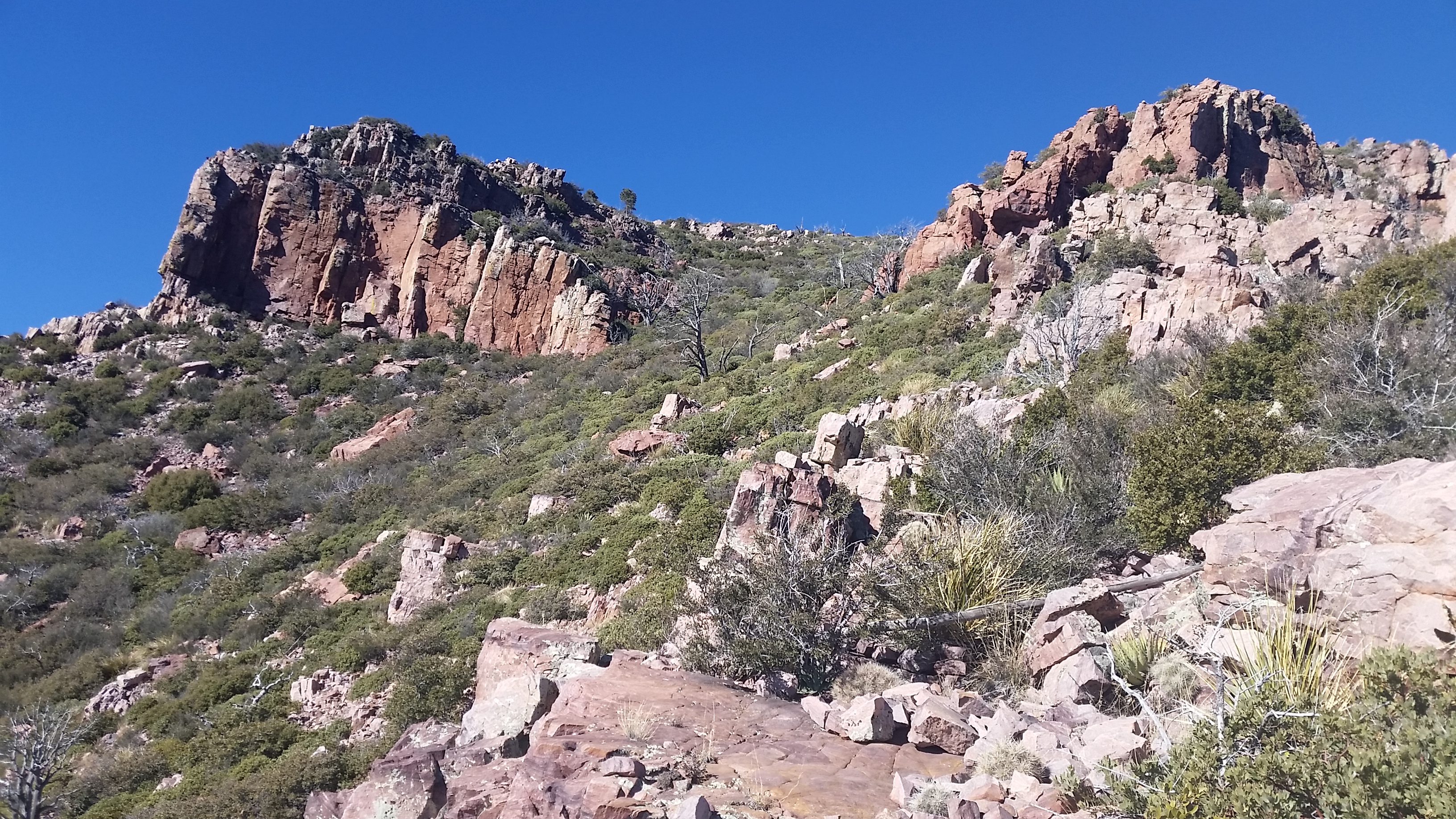
There is no science to bushwhacking or pushing an off trail trail, you just kind of look at the terrain, look at topo lines, look around corners, follow cairns, intuition, use whatever tools you have to get you safely there. I pushed up and up along the ridge dead ending into low class 4 rock climbs which I decided to circumvent (solo trekking class 4 without gear isn’t the best idea for me) and soon found myself into a thicket of Manzanita. Whew was it thick! I stuck to the rock wall in places, found clear veins of runoff between plants that I ascended until finally I popped out past the rocks where I could see a “clear” path (covered in manzanita/snow) to the peak.

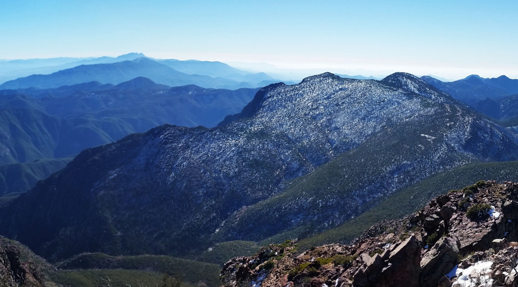
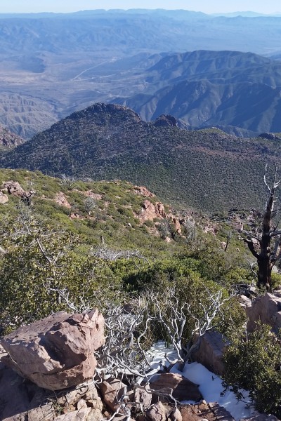
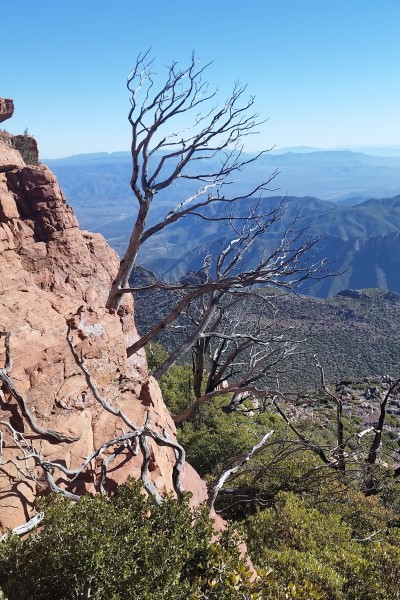
Finally feeling like I had a clear shot to the summit (after so many false summits) I grinned in excitement and pushed on up to the peak. The views from the top were AMAZING! I Could see Four Peaks, Flatiron, Humphries, faint views of the valley and so much more. After taking in the views and a few pictures from the peak I decided to descend the 1 mile bushwhack back to the trail and return to the truck the same way i ascended. I am glad I did it in cooler weather, I know in warmer temps I would have been baked by the sun towards the peak! Another great trek safely completed.

HIKE INFO:
https://en.wikipedia.org/wiki/Mazatzal_Mountains
http://hikearizona.com/decoder.php?ZTN=202
HIKE STATS:
- Weather: Hi mid 60s, Low in the mid 30s, Sunny
- Water: 1.5 liters
- Food: 1 Apple, 1 Clif Builders bar, 1 trailmix bar
- Time: 5 hours
- Distance: approx 10 miles Round Trip
- Accumulated Gain: 3,700 feet
GEAR:
- Mule Camelback backpack (3 liter bladder)
CLOTHING:
- 195 Smart wool long sleeve shirt
- Cotton Handkerchief
- Basketball shorts
- Merrell Mid Moab Hiking Boots
- Arkteryx Hoody
- Darn Tough Medium Wool Sox

